13th June 2015 - Black Hill & The Rough
Walk Details
Distance walked: 8.1 miles
Total ascent: 1501 ft
OS map used: 287 - West Pennine Moors
Time taken: 4 hrs
Route description: Spring Wood-Clerk Hill Cottages-Clerk Hill Road-Whalley Road-Sabden Brook-Hodgeon Stone Plantation-Read Heights-Trap Lane-Back Lane-Black Hill-Sabden Road-Sabden-Badger Well Cottages-Churn Clough-Clitheroe Road-The Rough-Wiswell Moor Houses-Clerk Hill Road-Clerk Hill Cottages-Spring Wood
So much for the forecast of a wet day that was given on Friday evening. The rain had already stopped when I got up and the forecast for the rest of the day was for it to remain cloudy but that it should stay dry. With the weather for tomorrow looking iffy I decided to head out after lunch for a walk in the nearby Ribble valley. I quite enjoyed this route and it's one I'd do again and not just when there's an afternoon to spare. As a bonus there was an hour of warm hazy sunshine on the way to Black Hill.
From the Spring Wood picnic area I took the concessionary path by Whalley golf club and then uphill to Clerk Hill cottages. After a brief walk up Clerk Hill Road I made my way across fields and down to Whalley Road, then down to and across Sabden Brook. On the other side of the footbridge I took the path uphill through woodland and then up to Back Lane. After a brief walk up the road I left it on the right for a track across to farm buildings and then up into the woodland on Read Heights and Trap Lane. I crossed Trap Lane and followed the path uphill through fields next to Well Wood to reach Back Lane, where a stile on its other side lets you onto access land and the trig point on Black Hill. I then took the footpath down to Sabden Road to reach Sabden. On the other side of the bridge over Sabden Brook I walked up Stubbins Lane to reach Badger Well Cottages and the bridleway up Churn Clough, then at its top I turned left and followed the bridleway to Clitheroe Road at Nick of Pendle. I crossed the road to the track at Parsley Barn but left it almost straight away to make my way up onto the moorland of The Rough and its trig point. After taking in the view I made my way back down to the track which I followed past Wiswell Moor Houses to reach Clerk Hill Road. Once I'd returned to Clerk Hill Cottages I retraced my steps back to Spring Wood.
Route map
© Crown copyright. All rights reserved. License number PU 100034184.
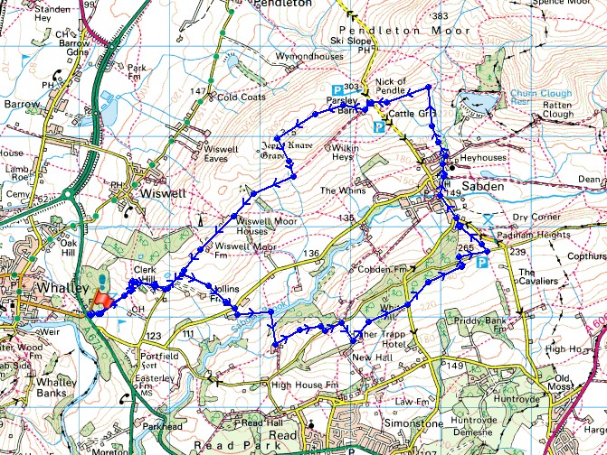
Looking back down to Spring Wood with Whalley Nab in the background
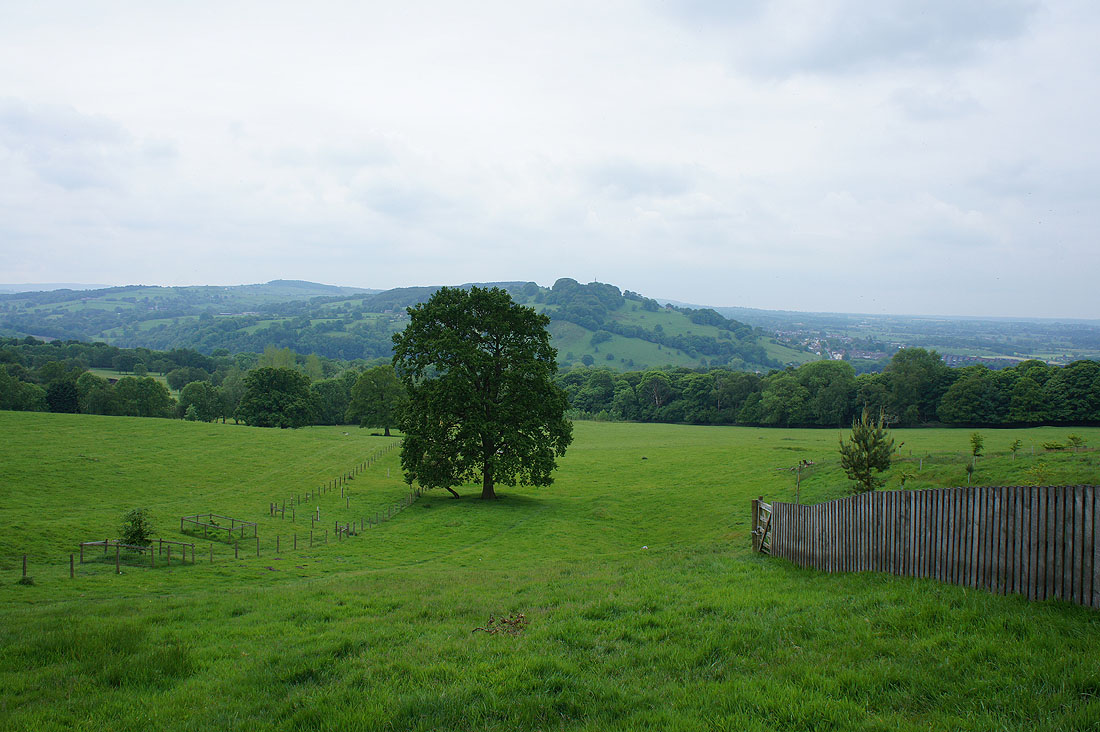
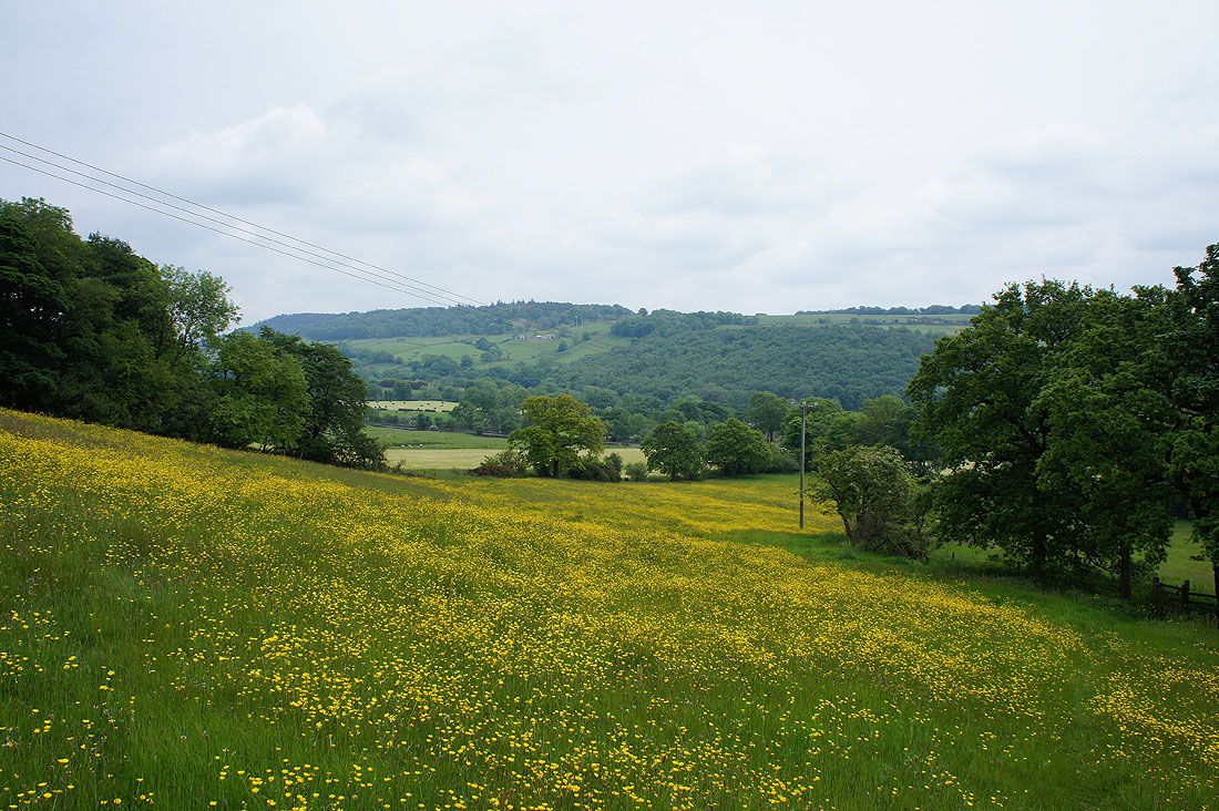
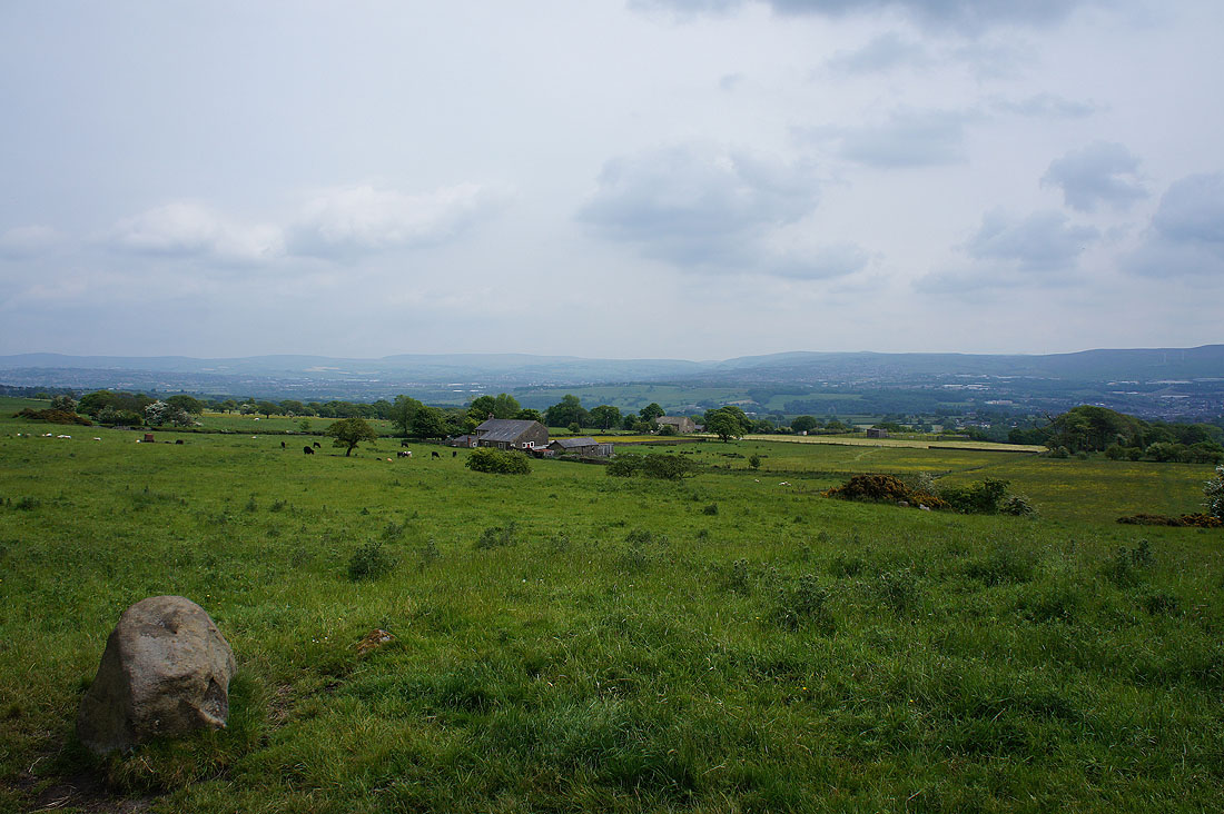
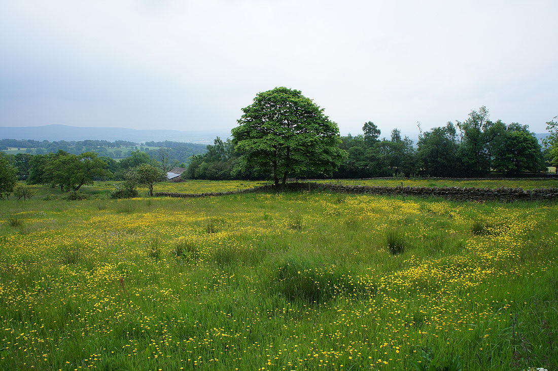
Fields of buttercups as I follow the footpath from Lower Clerk Hill down to Whalley Road...
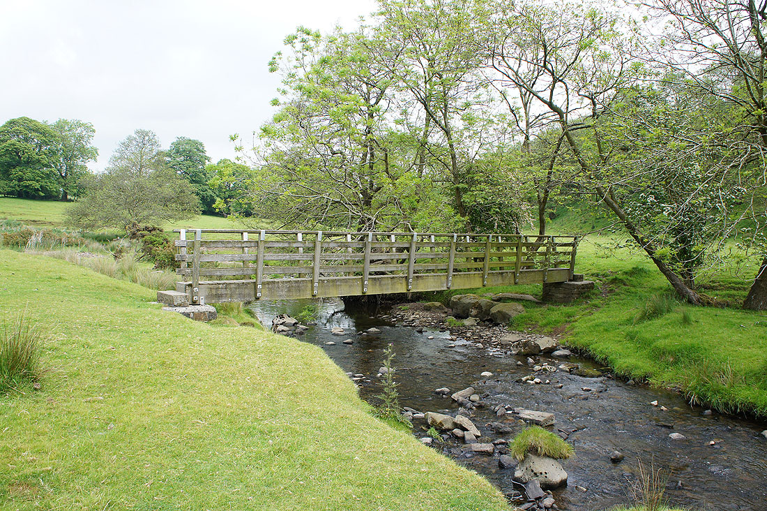
On the other side of Whalley Road and I head down to cross Sabden Brook
At the top of the path above Hodgeon Stone Plantation. The valley of Sabden Brook below with Whalley Nab in the distance.
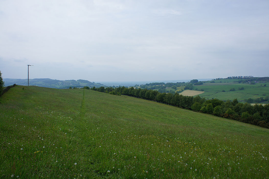
On Read Heights. Looking across to Great Hameldon above Accrington with the West Pennine Moors in the distance on the right.
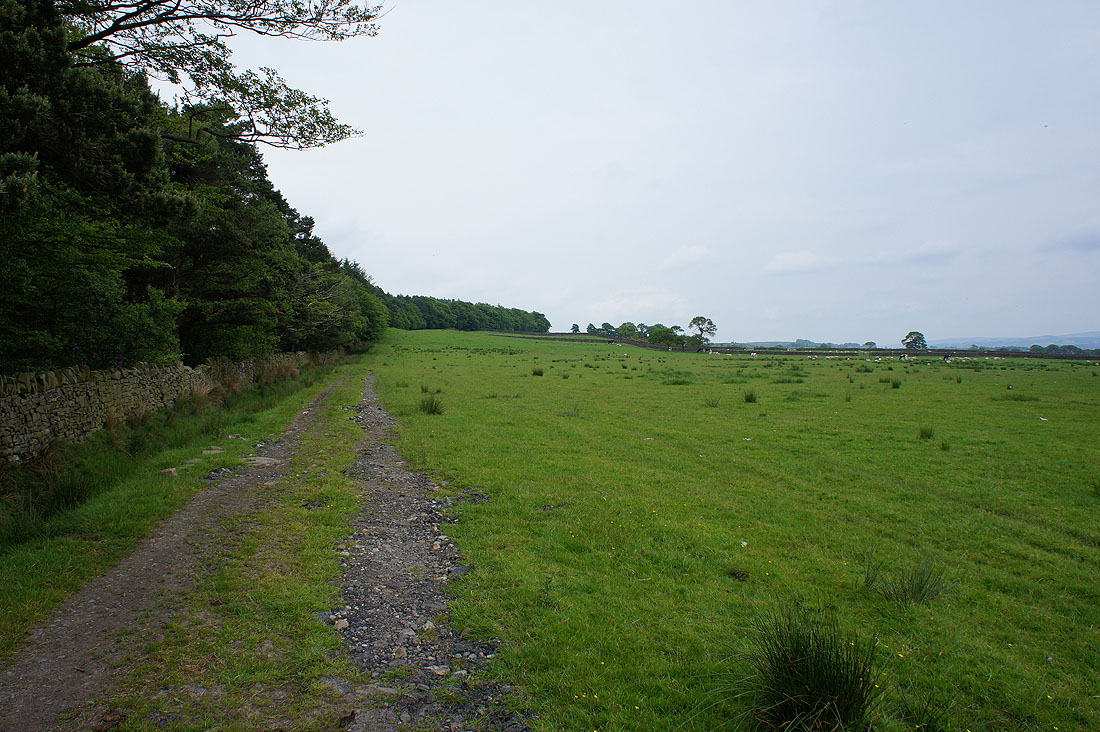
Easy walking as I head for Back Lane and Black Hill
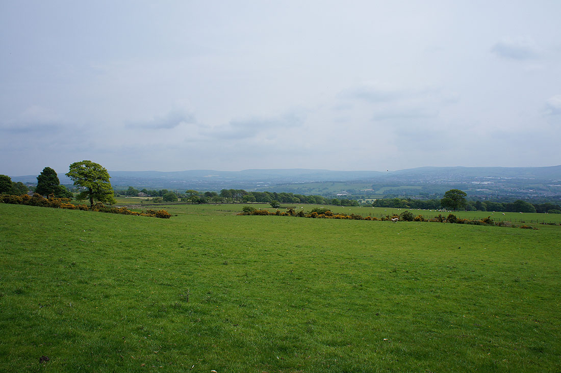
South Pennine moors in the distance
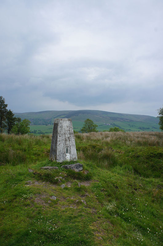
By the trig point on Black Hill with Spence Moor in the background
Padiham Heights with Boulsworth Hill in the far distance
and more South Pennines moors with Hoof Stones Height and Thieveley Pike in the distance
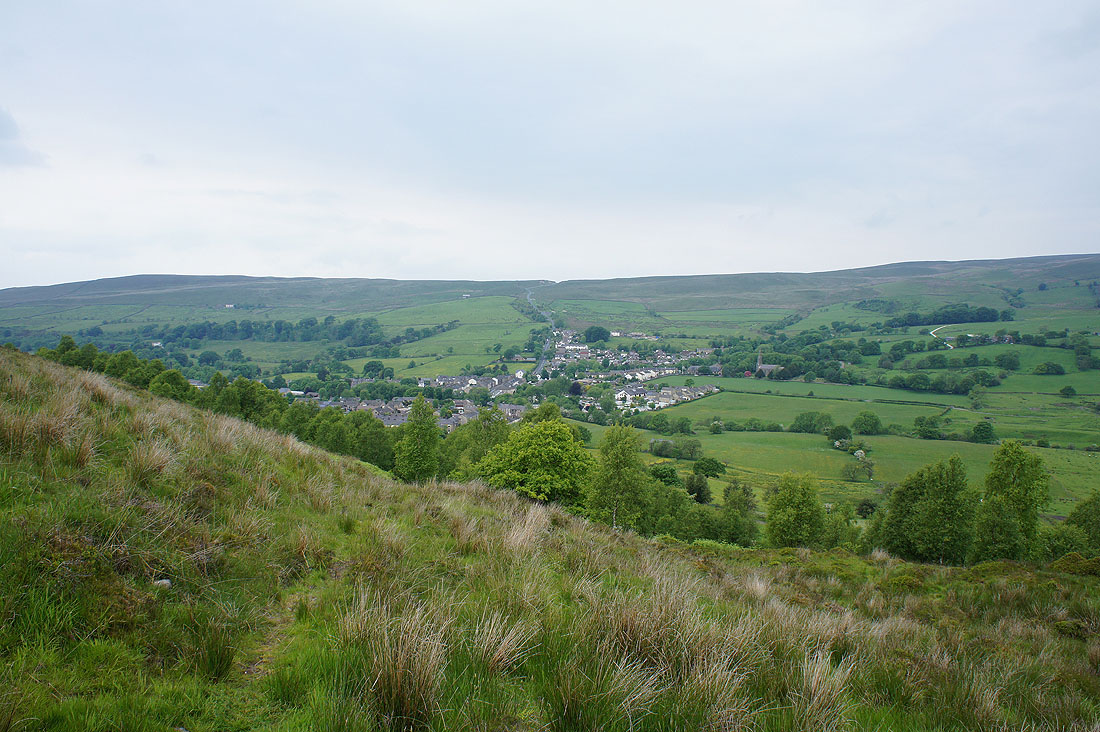
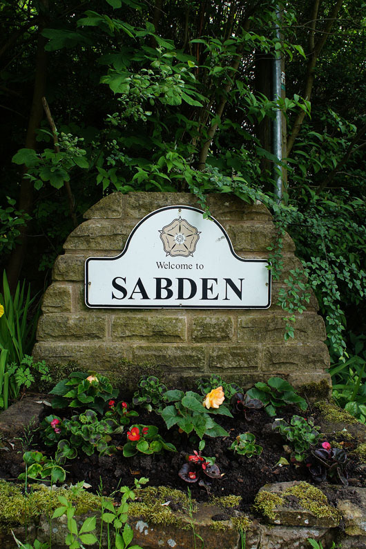
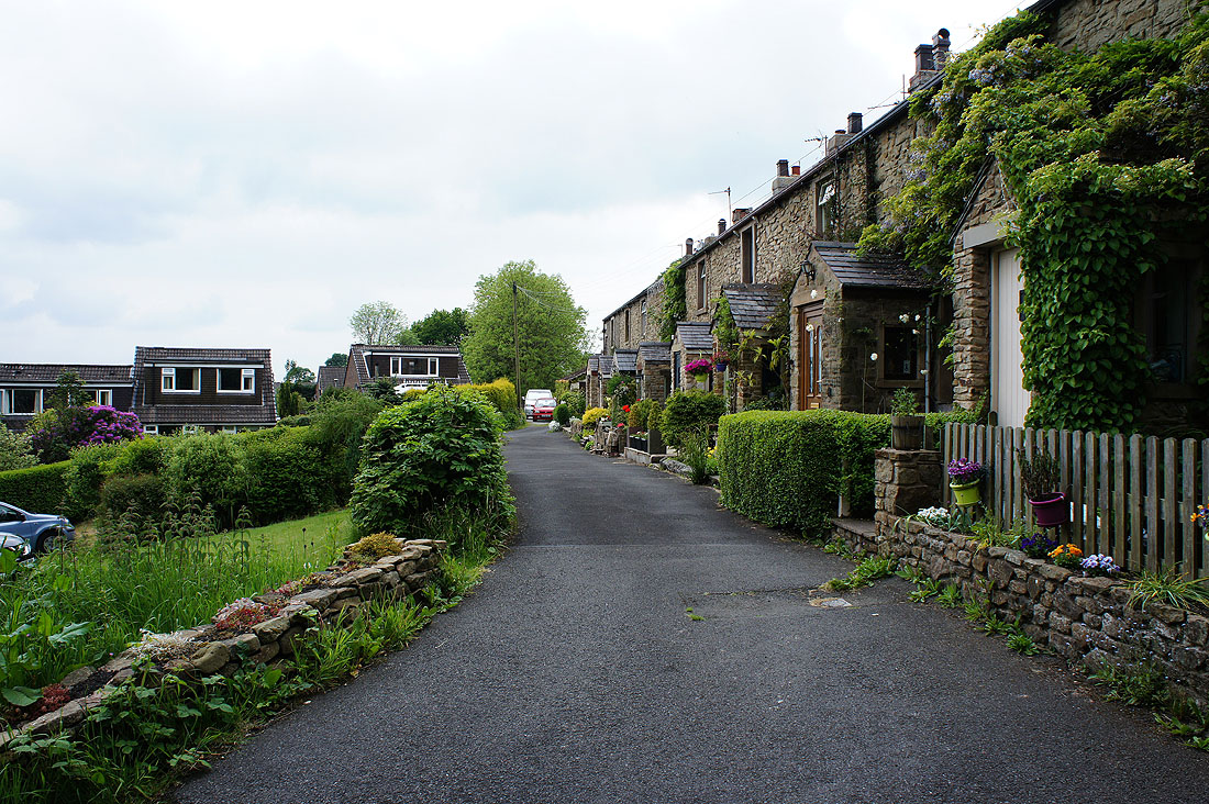
Heading down to Sabden
Past Badger Well Cottages
What's the saying? Ne'er cast a clout till May be out. It's out and I've cast my clout.
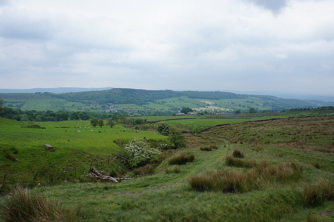
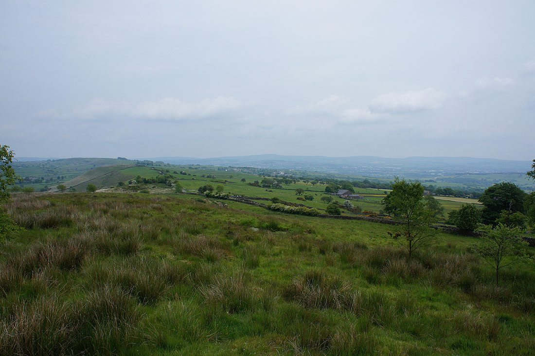
Looking back to Sabden and the wooded ridge of Black Hill as I follow the bridleway to the Nick of Pendle
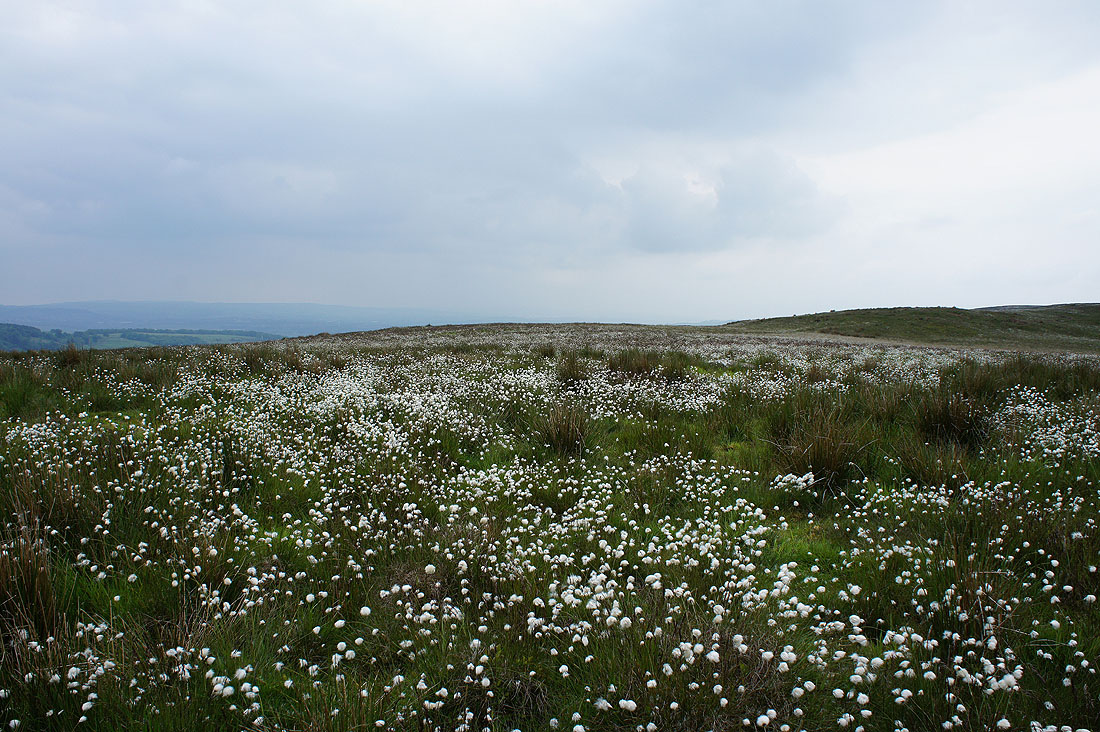
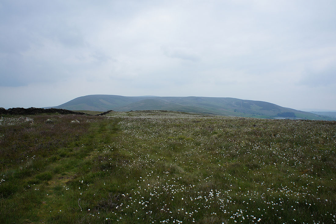
Seas of cotton grass on the moorland of The Rough
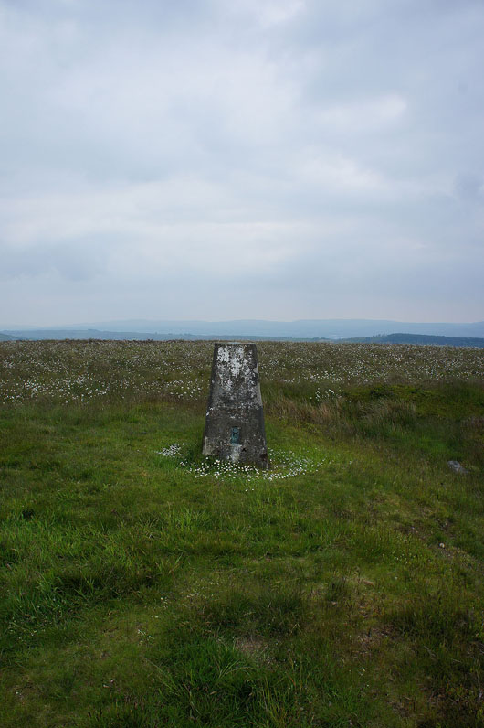
The trig point on The Rough
Spence Moor and I can just about see the top of Pendle Hill over it
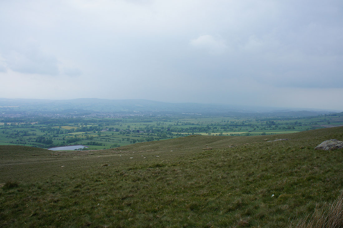
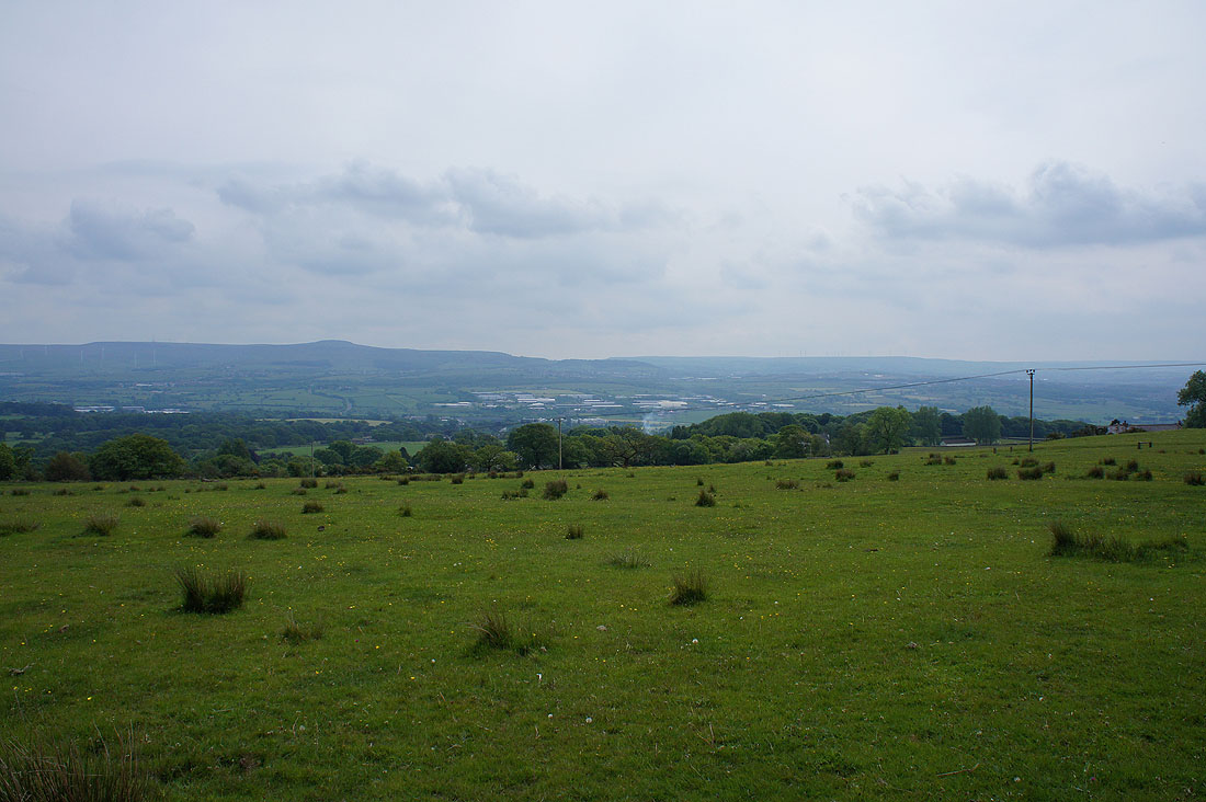
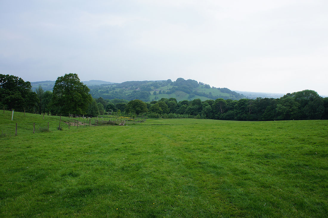
A murky view of the Ribble valley
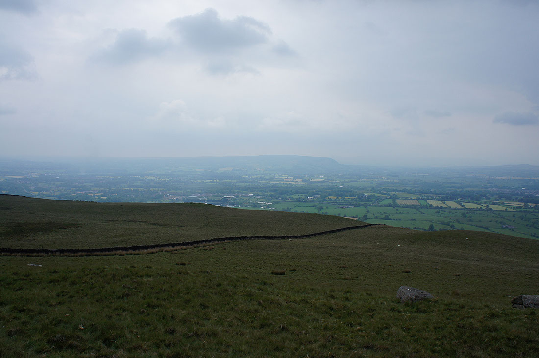
and Longridge Fell
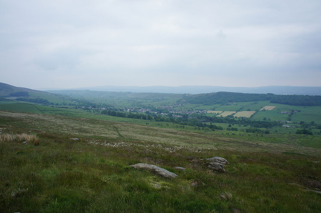
Sabden and Black Hill
On the bridleway past Wiswell Moor Houses
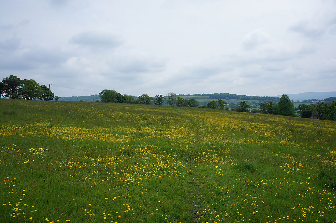
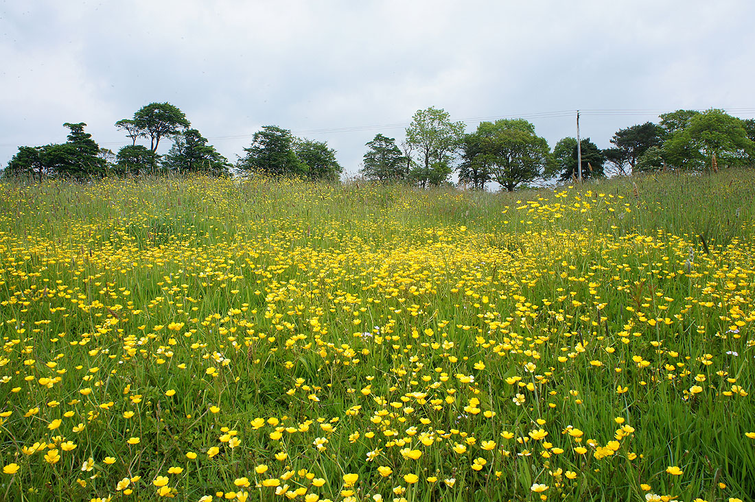
I couldn't resist taking another picture of buttercups as I walked down Clerk Hill Road
Spring Wood below, so the end is in sight