13th September 2014 - A Deepdale Horseshoe
Walk Details
Distance walked: 9.1 miles
Total ascent: 3466 ft
OS map used: OL5 - The English Lakes, Northeastern area
Time taken: 7 hrs
Route description: Patterdale-Arnison Crag-Trough Head-Birks-St Sunday Crag-Cofa Pike-Fairfield-Hart Crag-Hartsop above How-Deepdale Bridge-Patterdale
Another fine day for a walk in the Lakes, light winds even on the tops and fairly warm. It was pretty hazy though so the distant fells were hard to make out. The fells of Arnison Crag, Birks, St Sunday Crag and Hartsop above How take the total on my second round of Wainwrights to 42. Still a long way to go.
From the car park in Patterdale I crossed the road and took the footpath that heads around the back of the Patterdale Hotel. When I had a choice of going through a gate or taking a path that heads steeply uphill by a wall, I took the latter and I followed this to the top of Arnison Crag. I then made my way to Trough Head, steeply uphill to the next summit of Birks and on to St. Sunday Crag. After having lunch I crossed Deepdale Hause to reach Cofa Pike and then Fairfield. It was here that my walk became busier and the stretch from Fairfield to Hart Crag seemed to coincide with a charity walk, presumably the Fairfield Horseshoe. There were radio relay stations on Fairfield and Hart Crag to keep track of the participants. After Hart Crag it was quiet again as I made my descent down the ridge of Hartsop above How to the main road at Deepdale Bridge for a walk back to Patterdale.
Route map
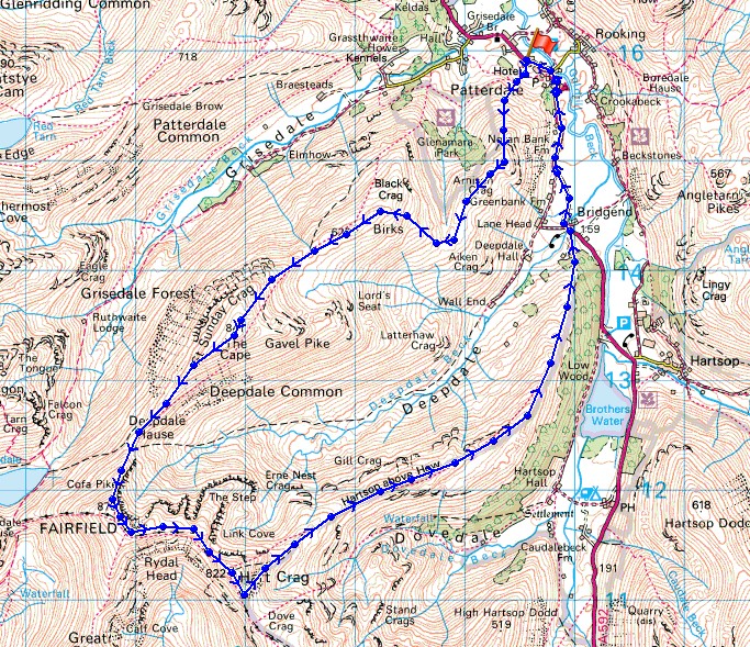
© Crown copyright. All rights reserved. License number PU 100034184.
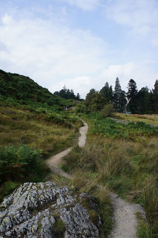
Leaving Patterdale behind and I'm on the path up Arnison Crag
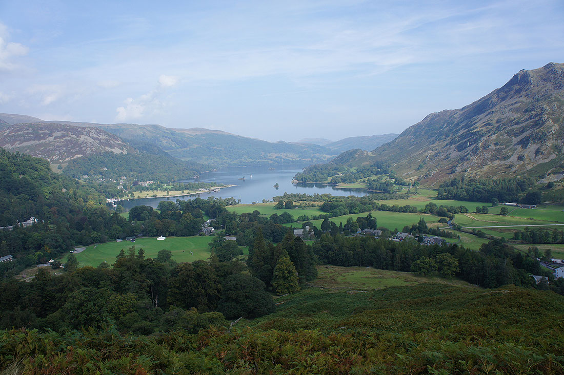
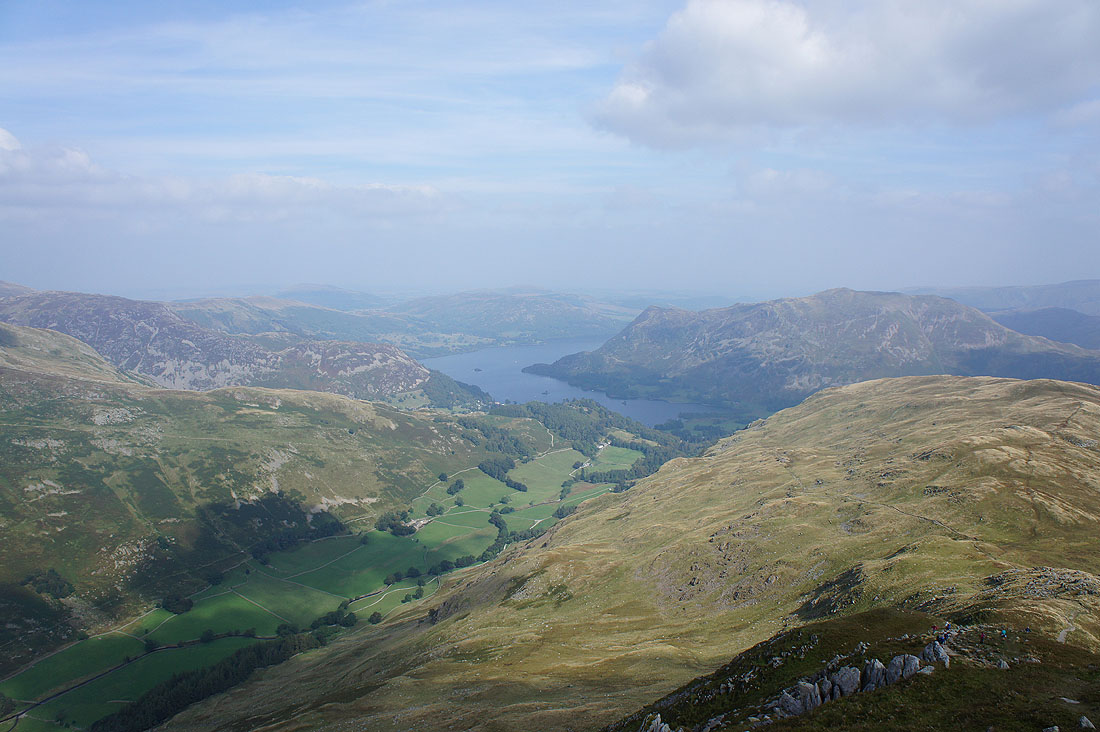
It doesn't take long for Ullswater to come into view
and it's even better from the top of Arnison Crag
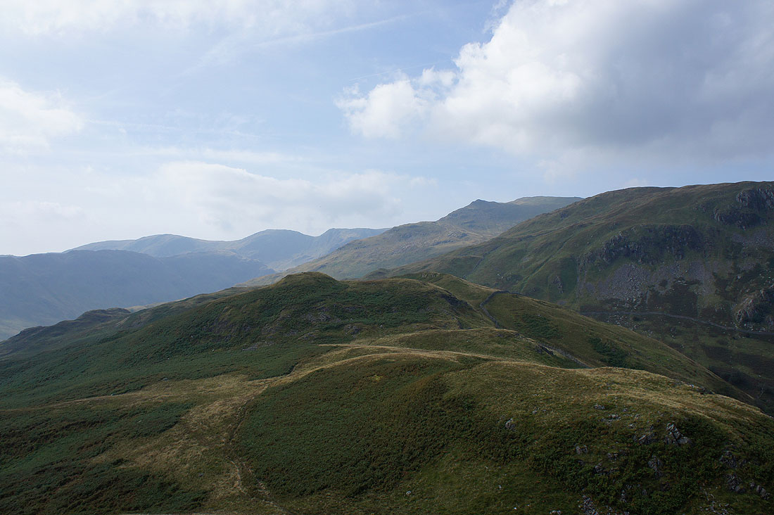
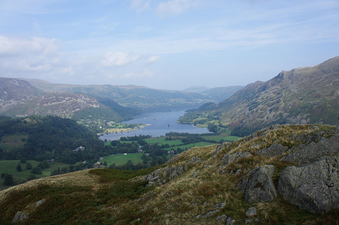
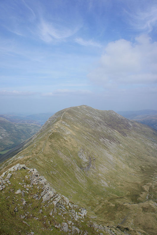
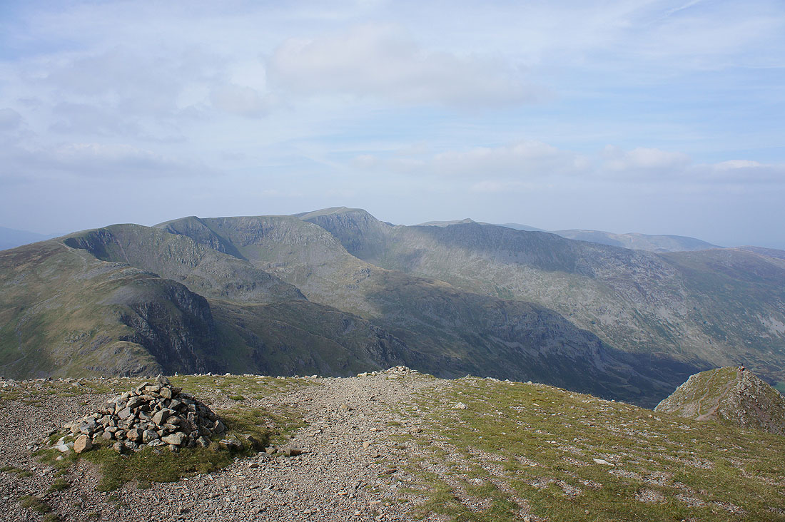
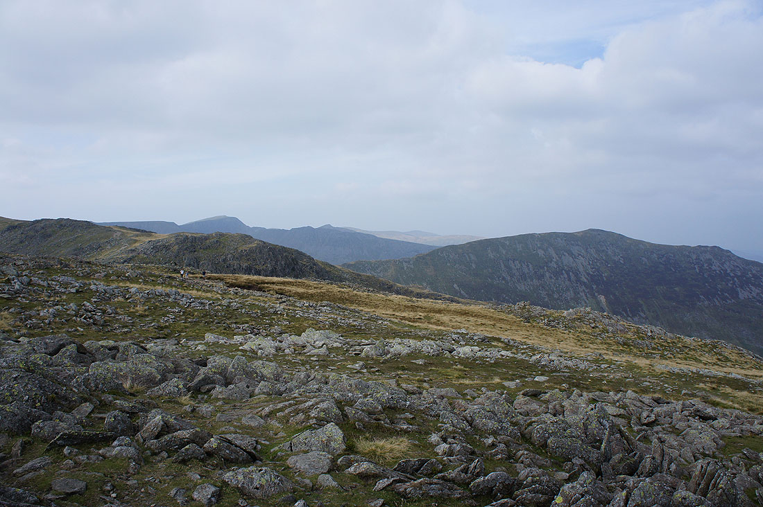
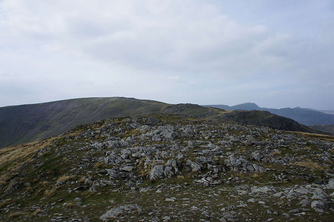
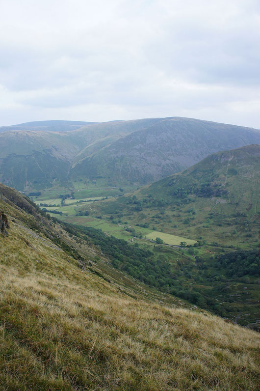
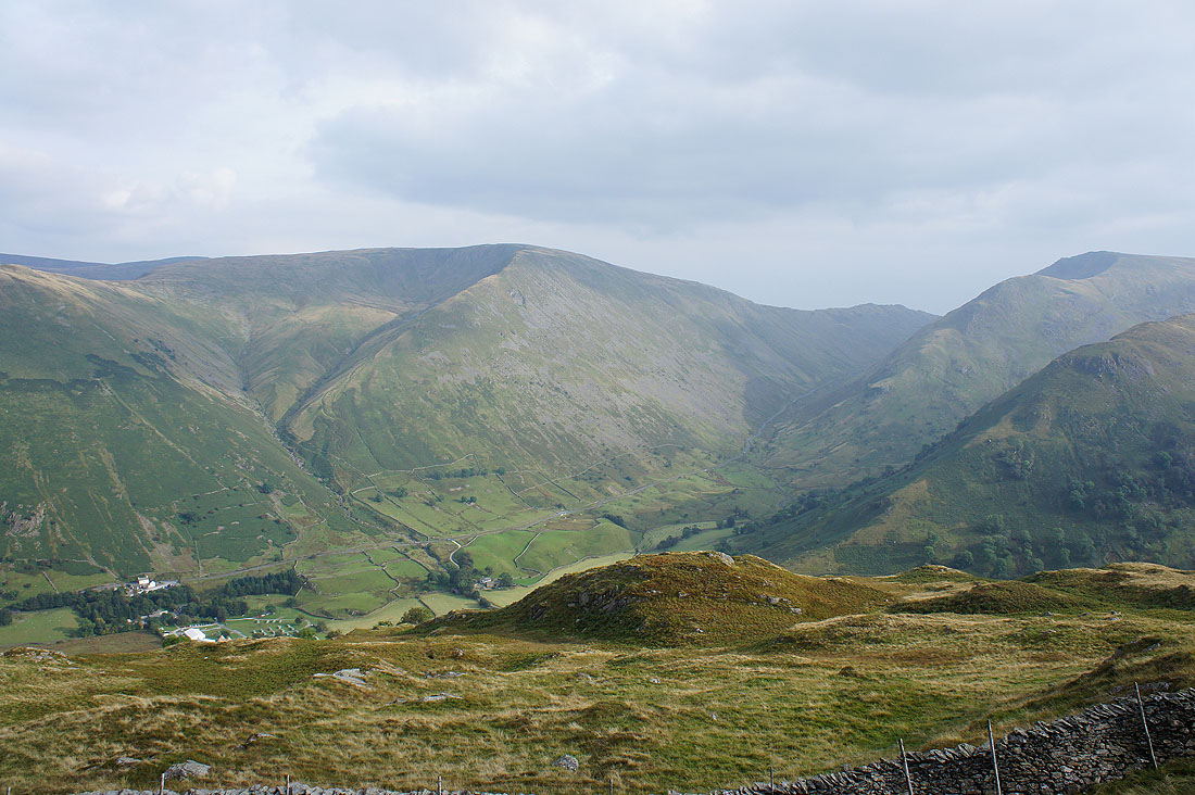
A good part of the rest of the walk can be seen. The ridge of Hartsop above How on the left heads up to Hart Crag, the summit of Fairfield is hidden by St. Sunday Crag and the fell of Birks is on the right.
Looking across Patterdale to High Street and Caudale Moor
As I head from Arnison Crag to Birks I reach Trough Head and another chance to see Ullswater
It's a steep slog up Birks
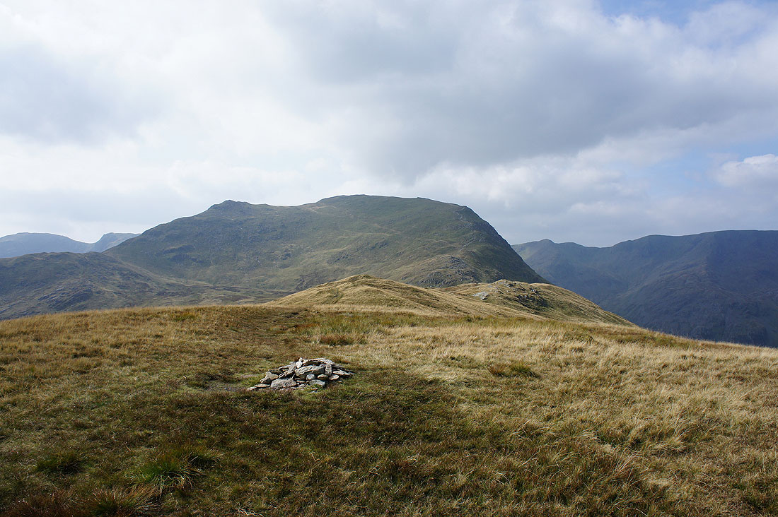
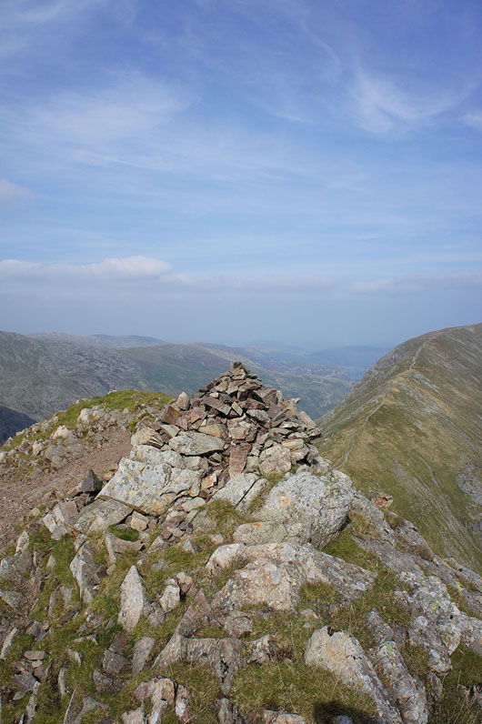
On the summit of Birks, the second Wainwright of the day. That's St. Sunday Crag ahead, the next one.
Nethermost Pike, Helvellyn and Catstye Cam
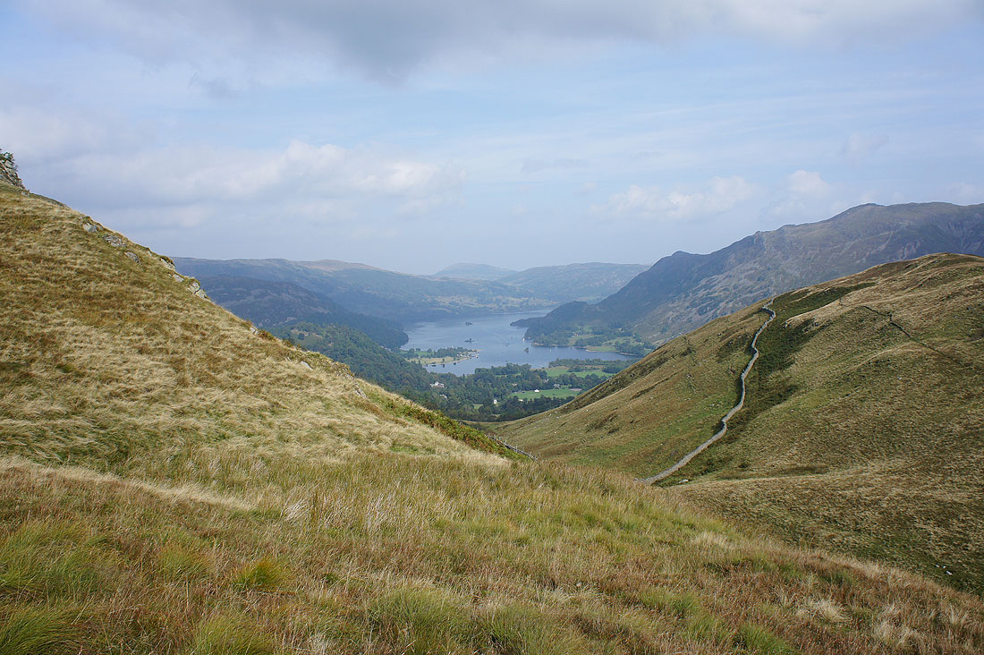
Nearly at the top of St. Sunday Crag and I pause to capture the classic view of Ullswater from the northeast ridge
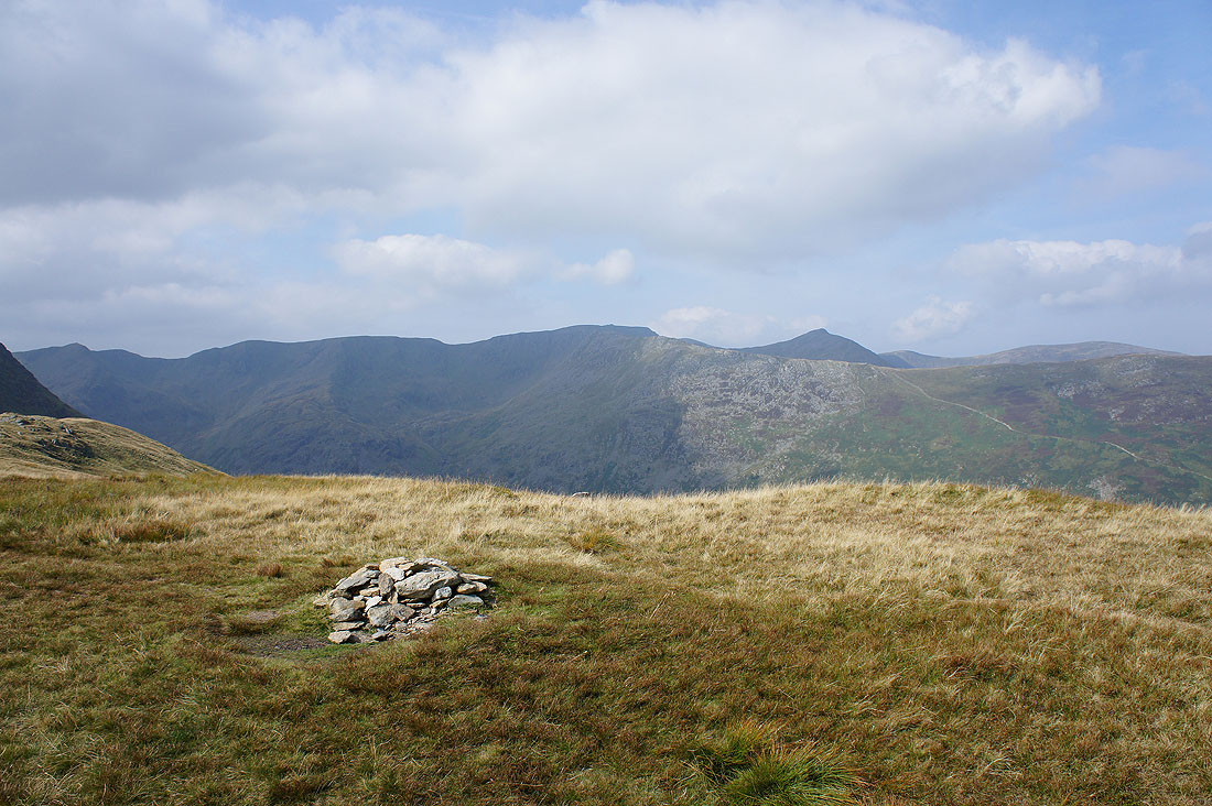
On the summit of St. Sunday Crag
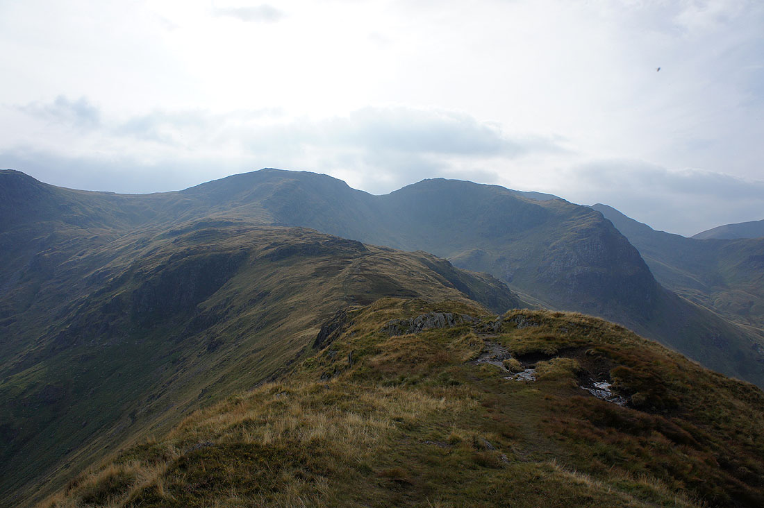
Fairfield on the other side of Deepdale Hause
Nethermost Pike, Helvellyn and Catstye Cam
The cone of Gavel Pike, with High Raise, High Street and the other far eastern fells in the distance
There's a great view of Dollywagon Pike, Nethermost Pike and Helvellyn on the other side of Grisedale as I make my way down to Deepdale Hause
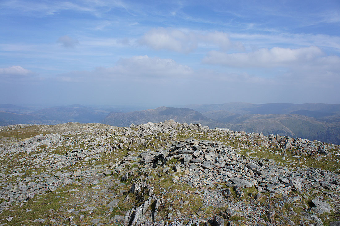
A brief pause to take in the scenery from the rocky top of Cofa Pike
|
|
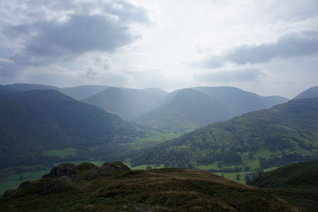
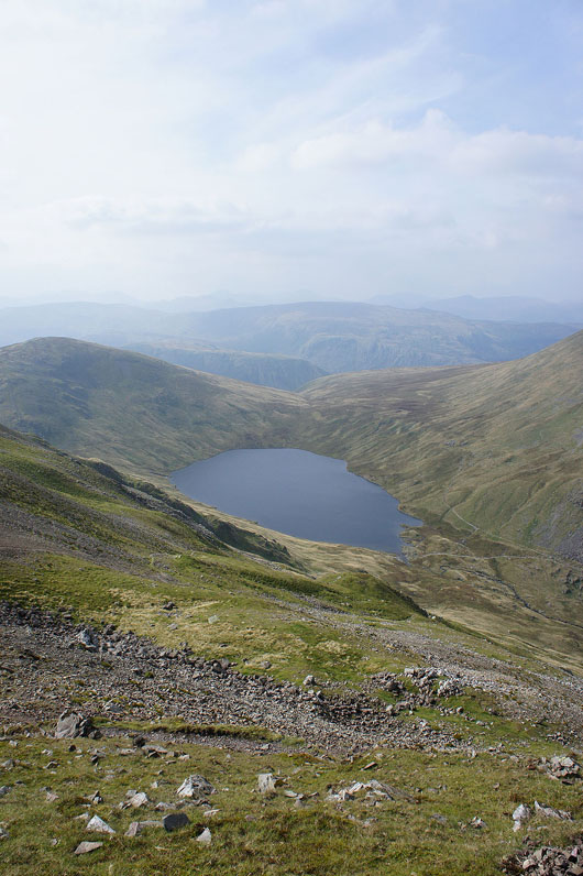
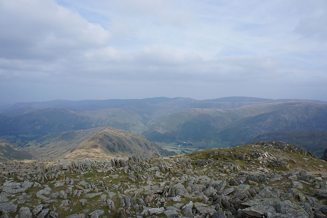
Looking back to St. Sunday Crag and Grisedale Tarn
Cofa Pike and St. Sunday Crag as I reach the summit of Fairfield
plus Dollywagon Pike, Nethermost Pike and Helvellyn
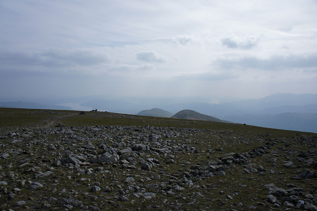
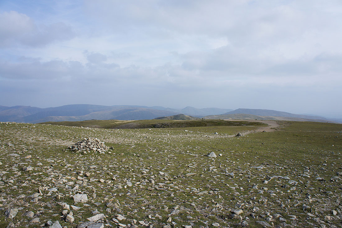
Lunch as been had so time to have a look at what else can be seen. It's pretty hazy but I can just about make out the rest of the fells. Looking south to Windermere and Coniston Water.
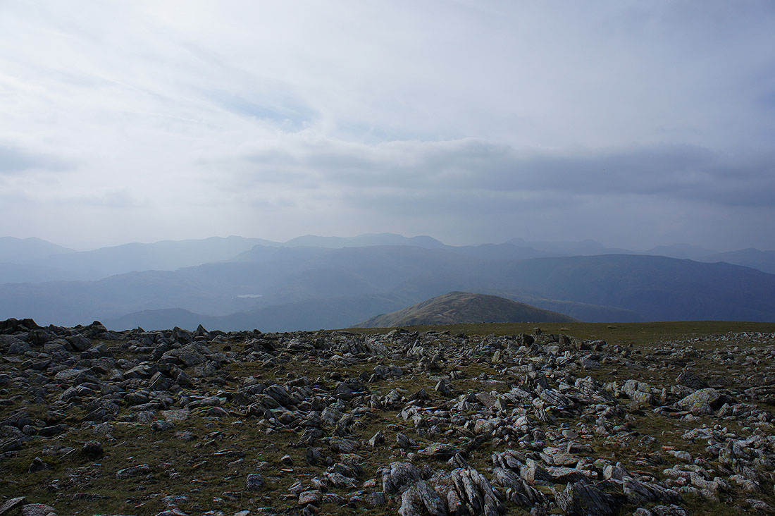
The Crinkle Crags, Bow Fell, the Scafells, Great Gable and Pillar to the west. The patch of water hanging in mid-air is Easedale Tarn.
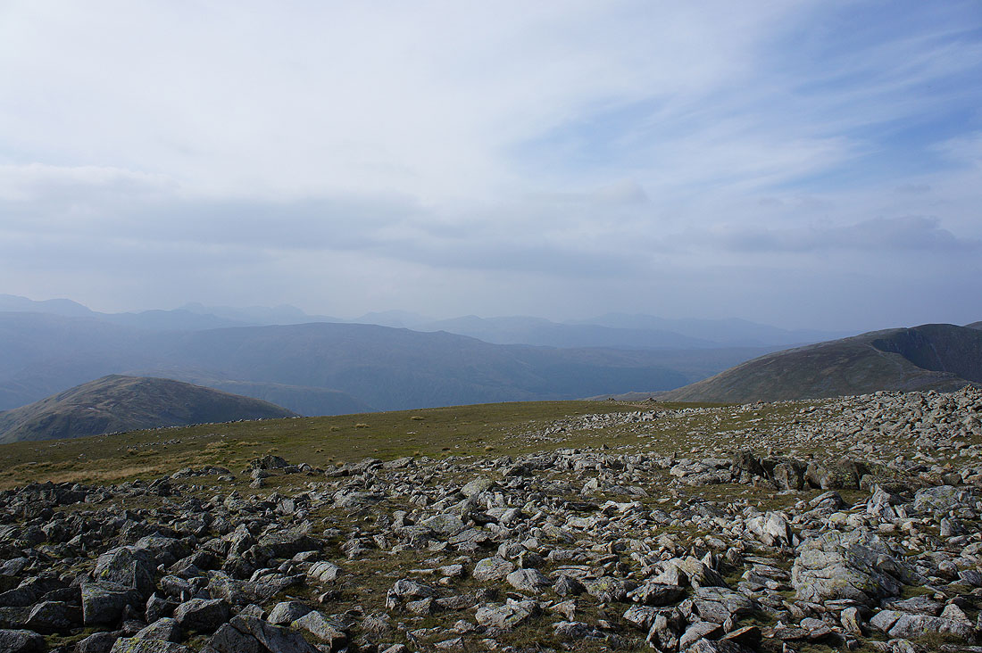
Great Gable, Pillar, High Stile, Dale Head, Grasmoor and Grisedale Pike to the northwest
Time to make tracks and head for Hart Crag
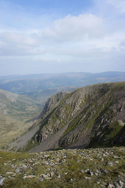
The crags of Greenhow End
Rydal with Heron Pike and Great Rigg on the right
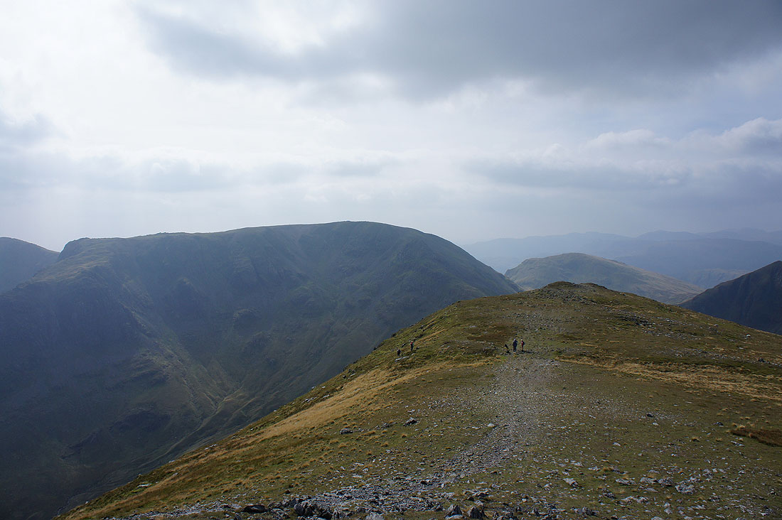
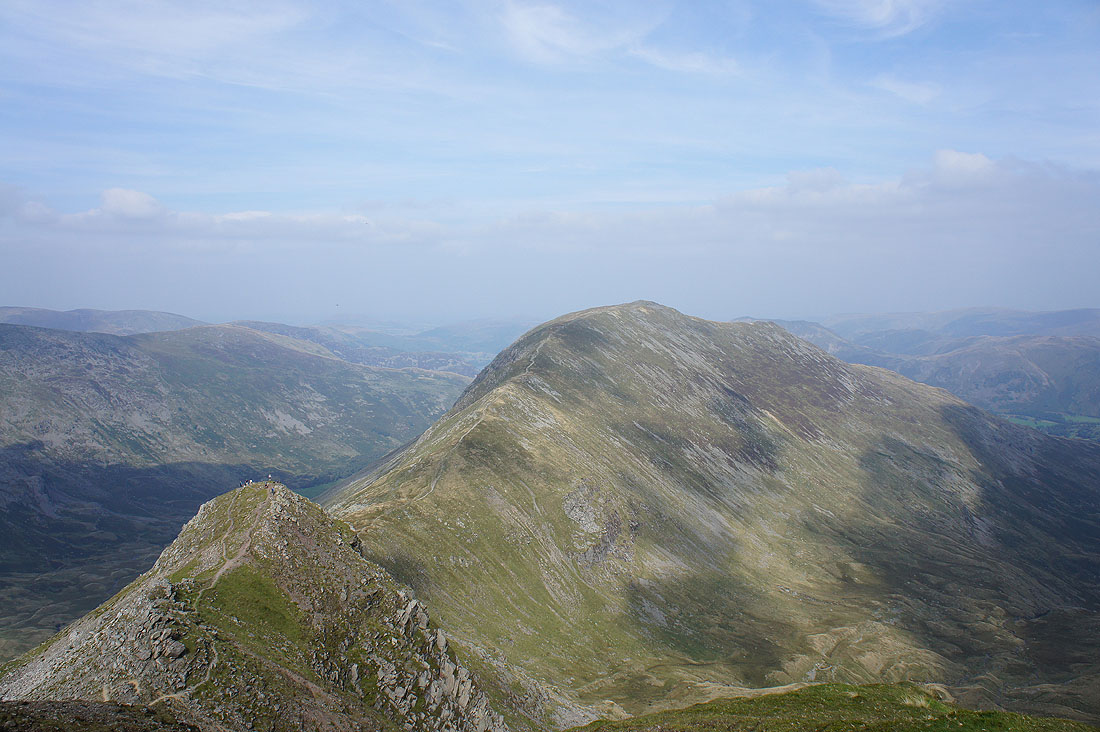
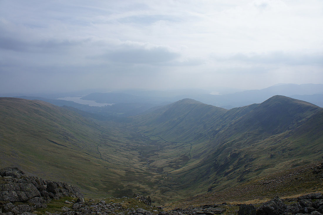
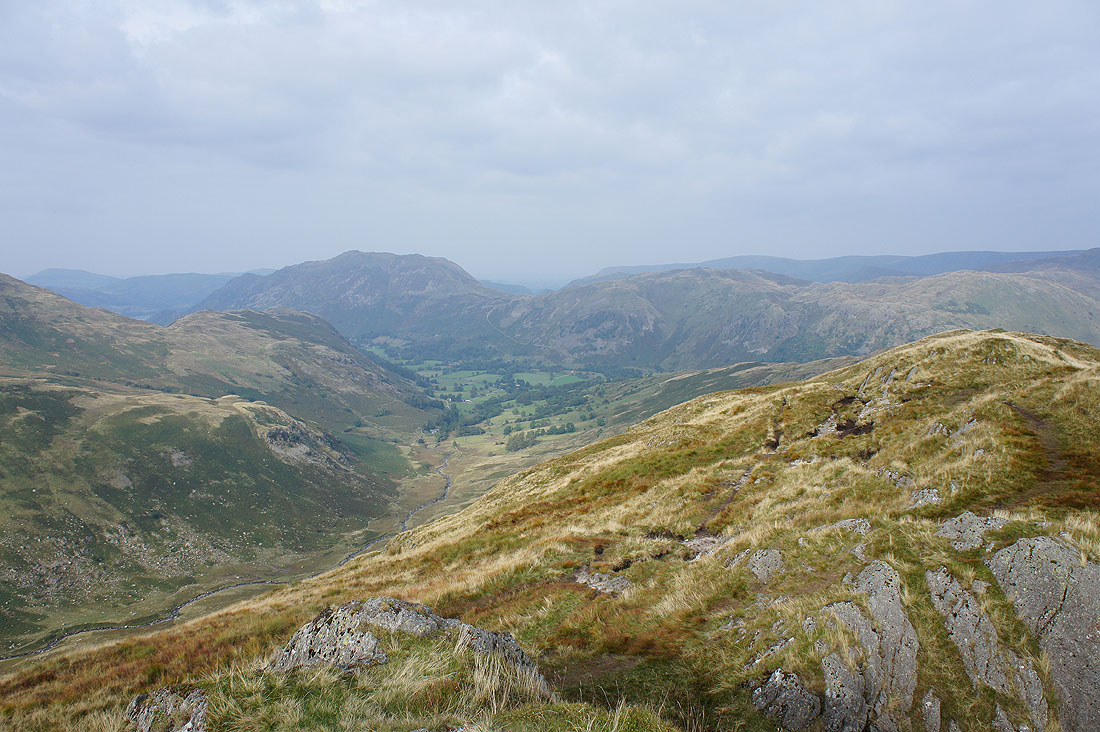
Passing Link Hause between Fairfield and Hart Crag I can see the ridge of Hartsop above How, my route of descent
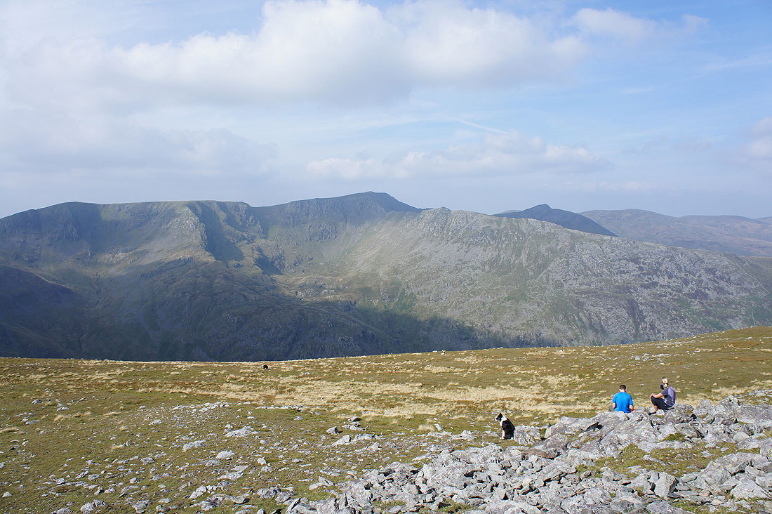
Helvellyn and St. Sunday Crag from Hart Crag
Looking across to the far eastern fells
Dove Crag with Red Screes behind
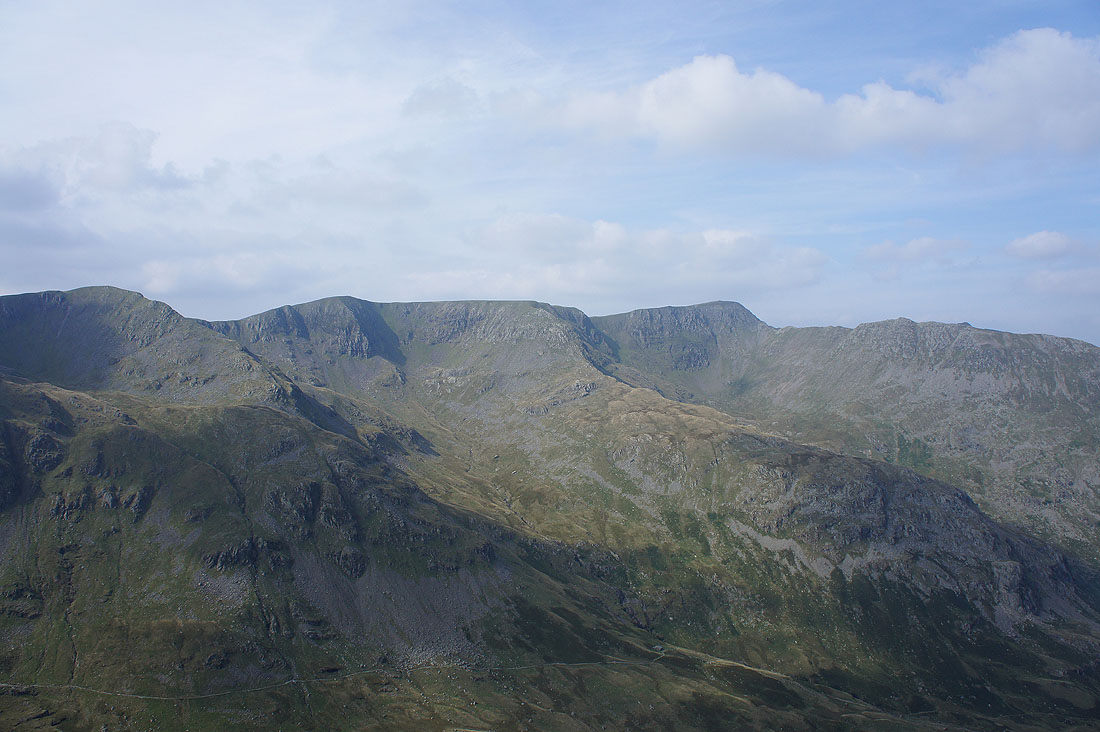
Great Rigg on the other side of Rydal with the Coniston fells, Crinkle Crags, Bow Fell and the Scafells in the distance
Looking back to Fairfield
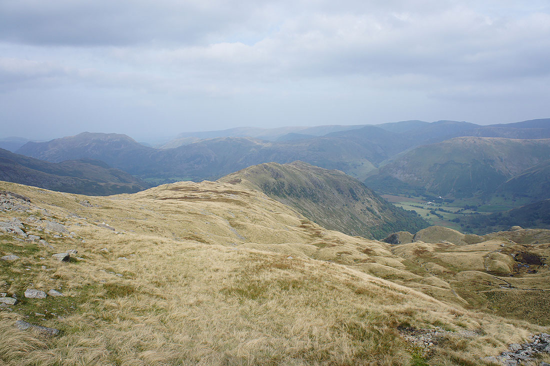
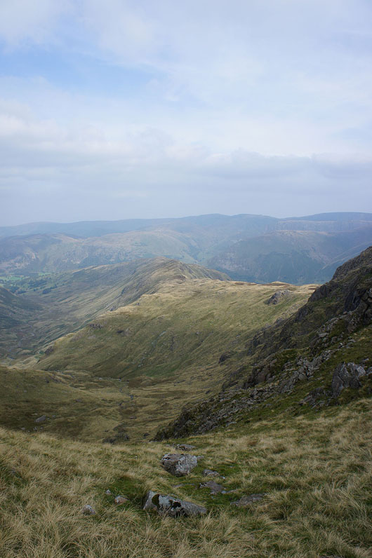
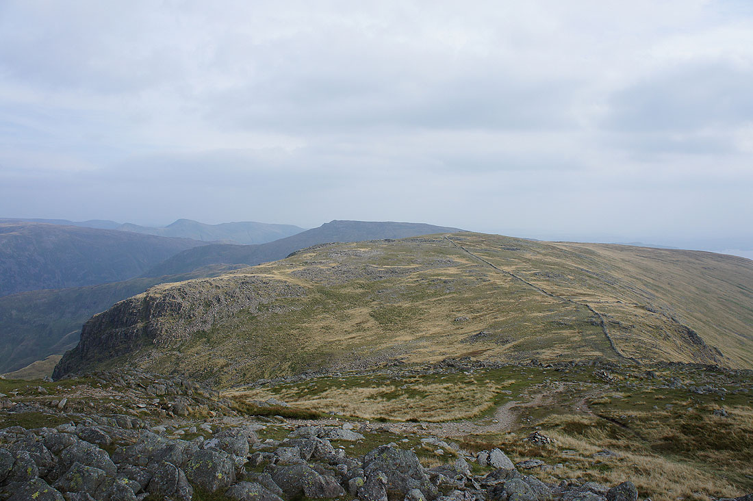
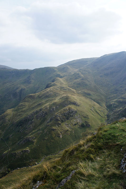
The ridge of Hartsop above How stretches ahead. Time to head down.
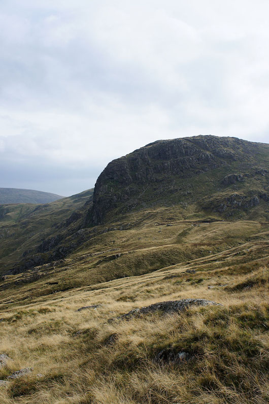
Dove Crag
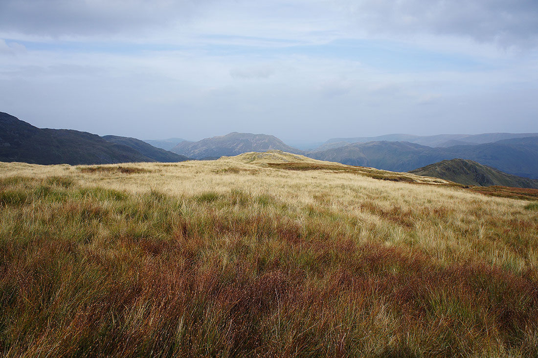
I only took this photo to show off the different colours the grass can take on at this time of year
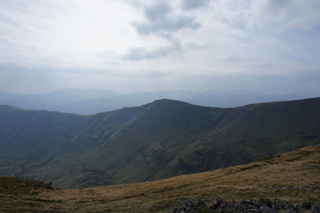
Looking across Dovedale to Caudale Moor and High Hartsop Dodd
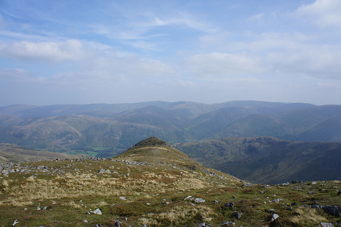
On the "summit" of Hartsop above How. Place Fell, Patterdale and the valley of Deepdale below on the left.
Stand Crags
Looking back up the ridge to Hart Crag and Fairfield
There's a great view of Caudale Moor and the road heading up to the Kirkstone Pass as I continue my descent
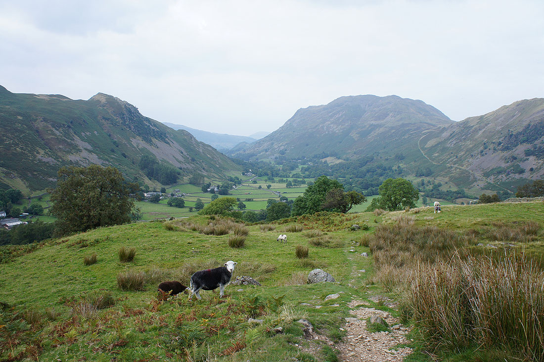
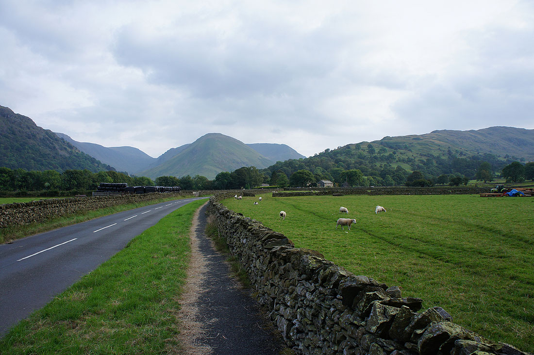
Nearly down. The path will bring me out at Deepdale Bridge and then I'll have to follow the main road back to Patterdale.
Looking back to Hartsop Dodd and Hartsop above How
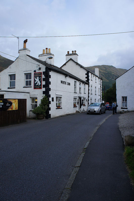
Back in Patterdale. The White Lion will provide a much needed pint and post walk meal.
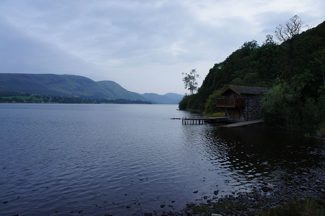
Heading home and I took the opportunity to stop and take a photo of a very popular view. Ullswater and the Duke of Portland's boathouse. There was a great light on the lake as I passed it earlier in the day but unfortunately I couldn't stop to take a picture.