18th May 2014 - Roeburndale from Wray
Walk Details
Distance walked: 9.4 miles
Total ascent: 1573 ft
OS map used: OL41 - Forest of Bowland & Ribblesdale
Time taken: 6 hrs
Route description: Meal Bank Bridge-Wray-road up West Roeburndale-Thornbush Farm-Winder Farm-Haylot Farm-Melling Wood-Mallowdale Farm-Mallowdale Bridge-High Salter-Goodber Beck-Haterbeck Farm-road down East Roeburndale-Wray Bridge-Meal Bank Bridge
Another walk in the Forest of Bowland today. I do have a number of walks in the area in mind and it would be easy to keep them for days of indifferent weather and go to the Lakes or Dales on the good days but they deserve better than that. The quality of the scenery experienced this weekend proved the point.
I started the walk from the layby next to Meal Bank Bridge on the B6480 east of Wray. I walked through the village and then took the lane signposted "Roeburndale West". A long road walk uphill finally ended when I reached the drive to Thornbush Farm. A footpath goes through the farmyard and then uphill to a stand of Scots Pines. The path continues by contouring across the hillside to the next farm of Winder. I then took the bridleway down and across Bladder Stone Beck and up to Haylot Farm. From there I followed a path down into Melling Wood, across Mallow Gill and up to Mallowdale Farm. A track then heads down and across the River Roeburn by Mallowdale Bridge and then a path heads up to the farm of High Salter. I then had a number of fields to cross to reach the next farm of Harterbeck but not before crossing Goodber Beck. The final part of the route was along a path contouring the hillside on the eastern side of the valley until it reached the road down to Wray. To get back to where I was parked I crossed Wray Bridge and followed a riverside path by the Roeburn and Hindburn to Meal Bank Bridge.
Route map
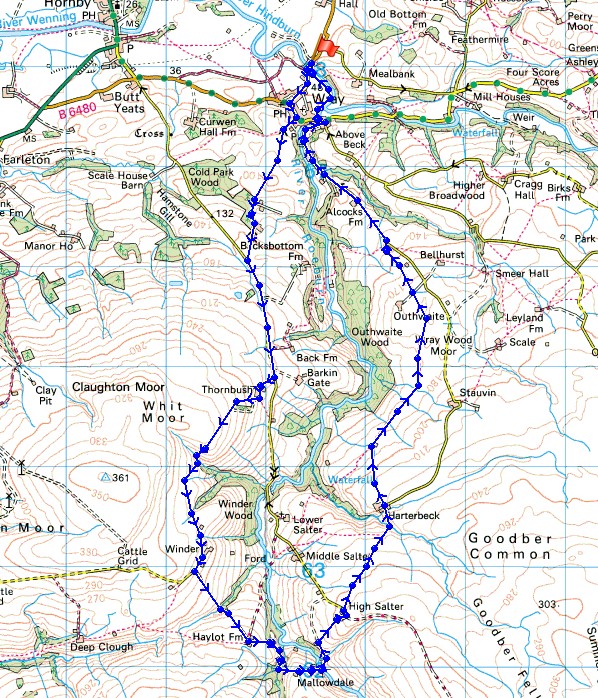
© Crown copyright. All rights reserved. License number PU 100034184.
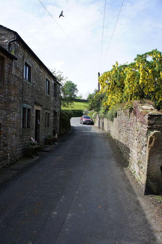
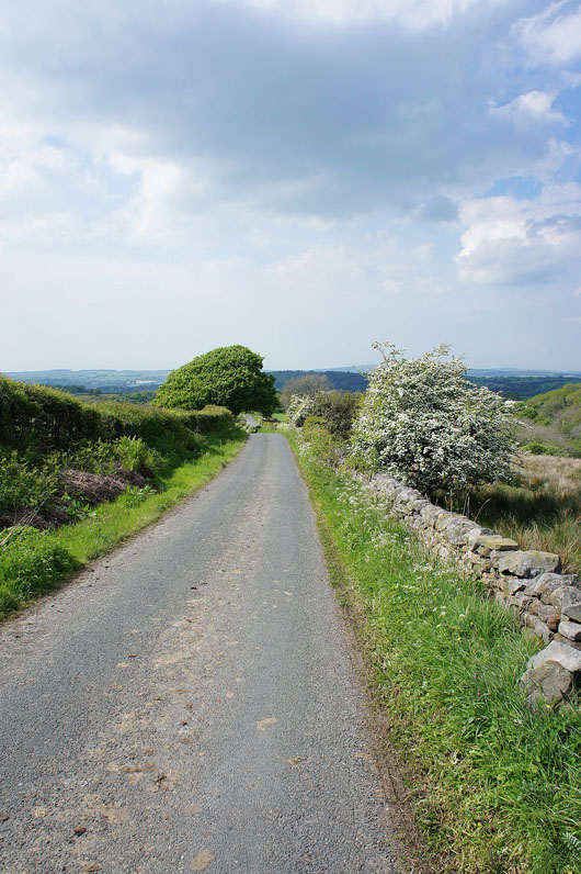
Leaving Wray by the road signposted for West Roeburndale
A short distance up the road and I can look back down to Wray
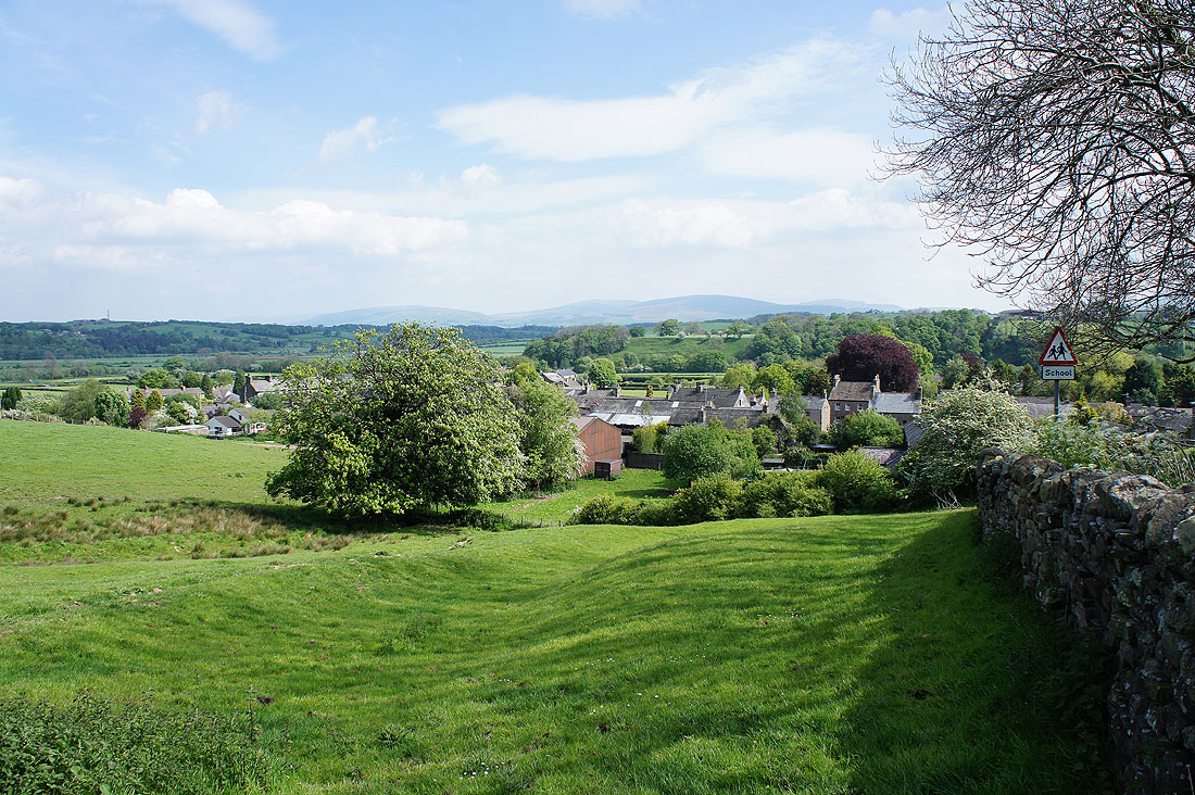
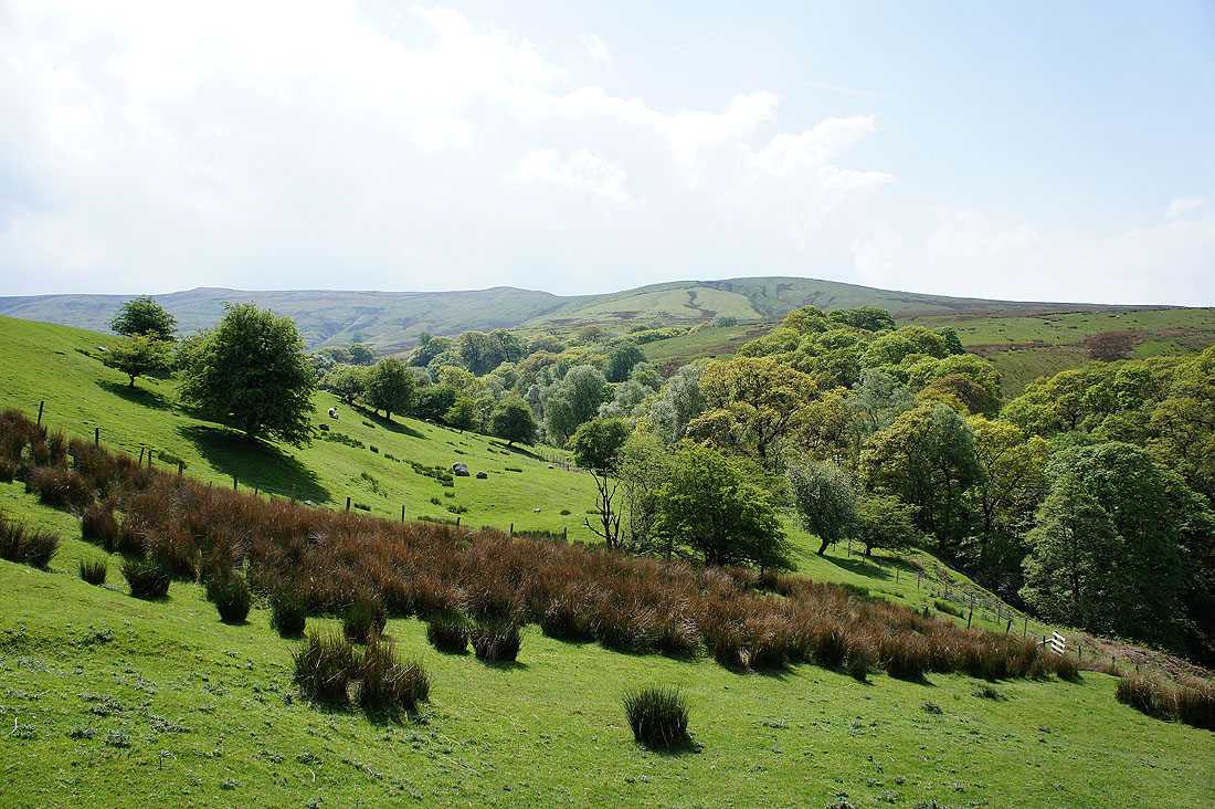
As the road continues uphill the view opens out with Ingleborough..
..and then Middleton Fell, Great Coum, Gragareth and Whernside join the scene
Putting in the hard yards
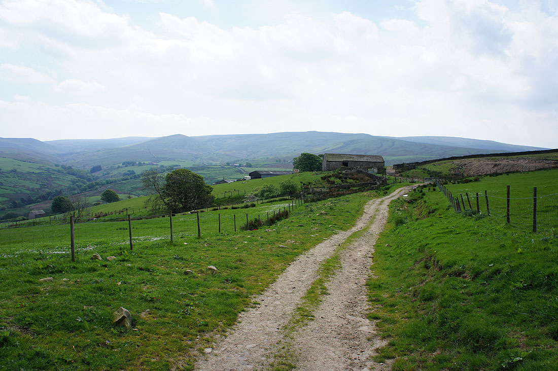
Finally off the road at last and I have a view up Roeburndale as I head up the drive of Thornbush Farm
Looking back above the farm and they have a great view of Ingleborough
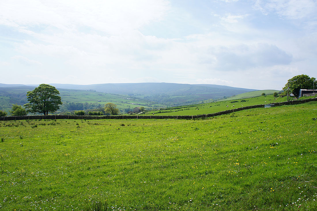
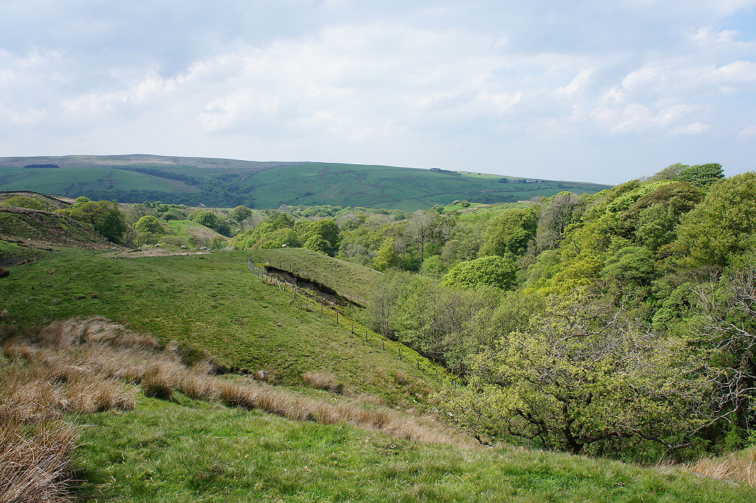
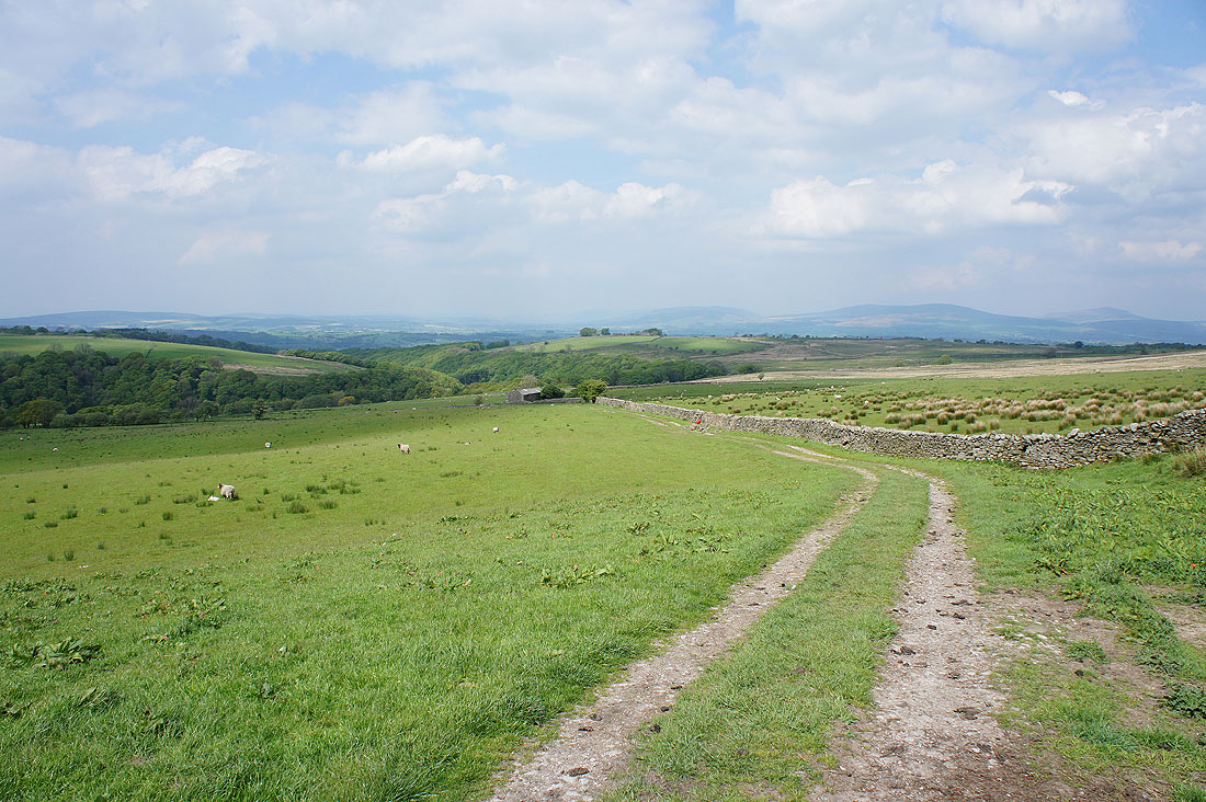
On the track to Winder farm. Roeburndale is down to the left, then there's the pointed top of Mallowdale Pike. Wolfhole Crag and Ward's Stone form the high backdrop.
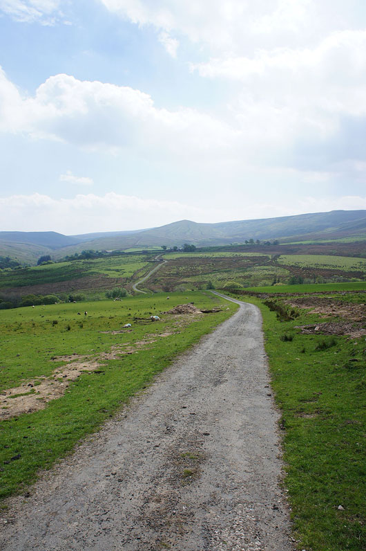
On the track to Haylot Farm
Roeburndale to my left
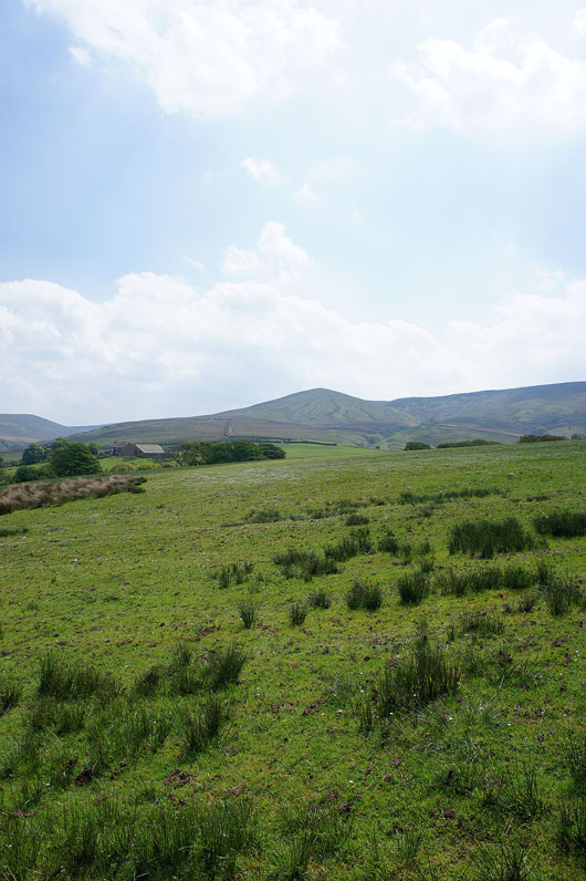
Mallowdale Farm and Mallowdale Pike
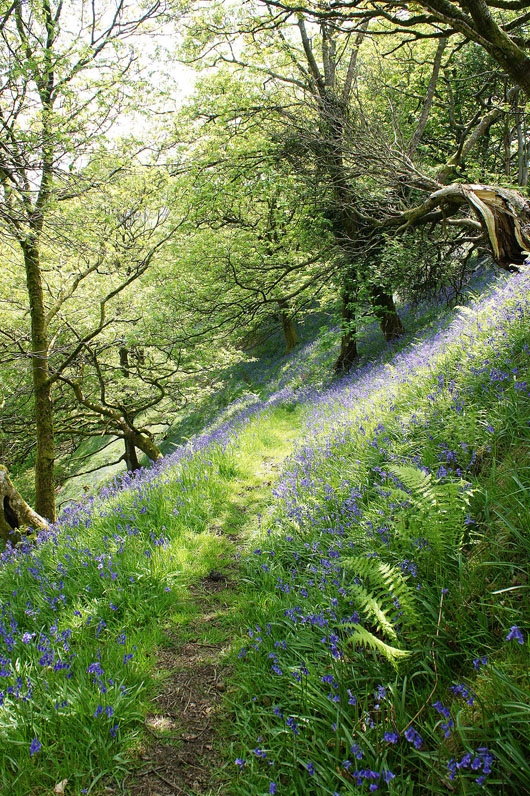
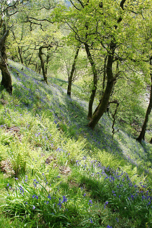
Wow! As I crossed the stile into Melling Wood I was greeted by a hillside covered in bluebells. I had no idea they were there. I spent a good ten minutes taking it in.
|
|
Heading down through Melling Wood and Mallow Gill from the footbridge over the beck
Azers Wood around Mallow Gill and..
..Mallow Gill on the left joins the River Roeburn on the right as I head up to Mallowdale Farm
|
|
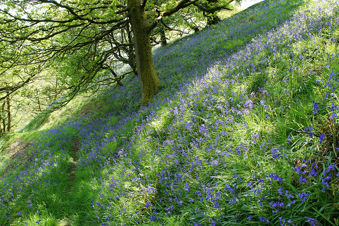
Crossing the Roeburn by Mallowdale Bridge and another hillside of bluebells in the woodland by the track up to High Salter
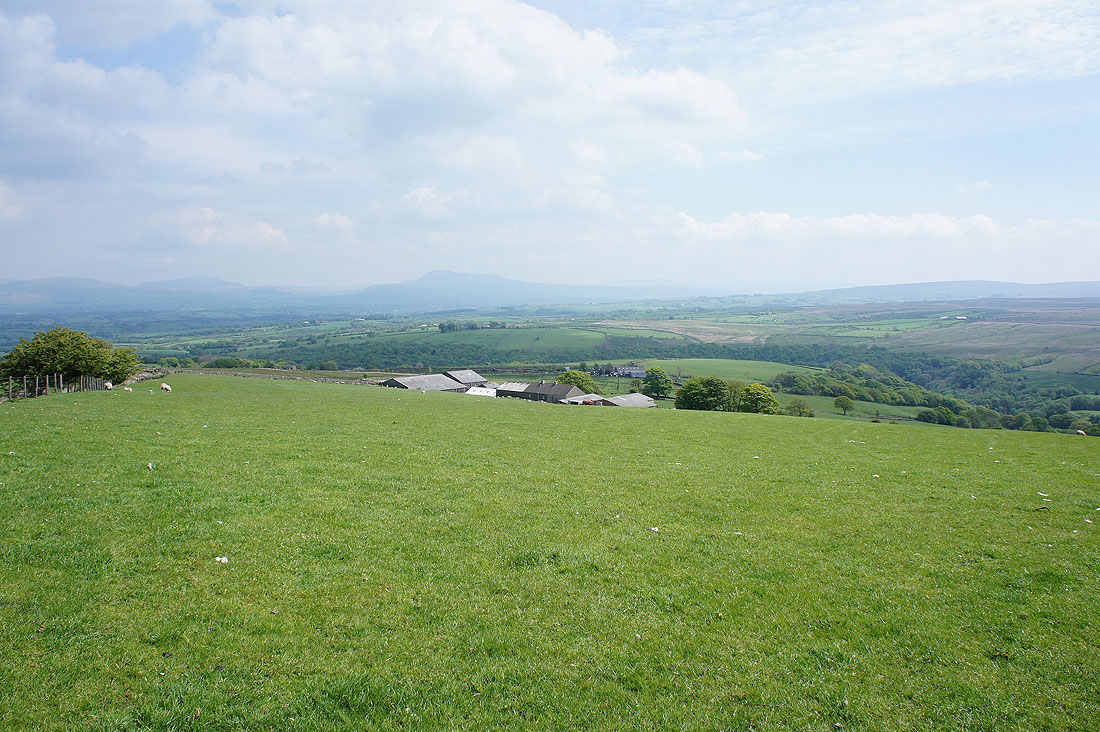
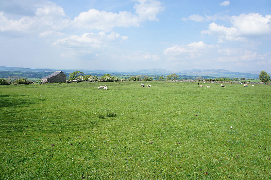
Past High Salter and there's fields to cross to reach the farm of Harterbeck
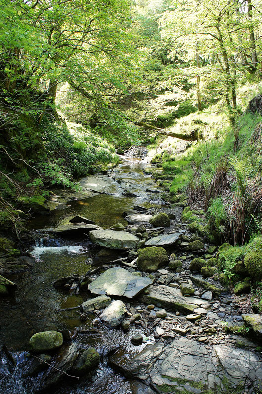
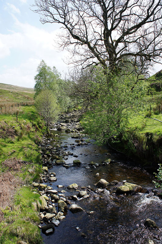
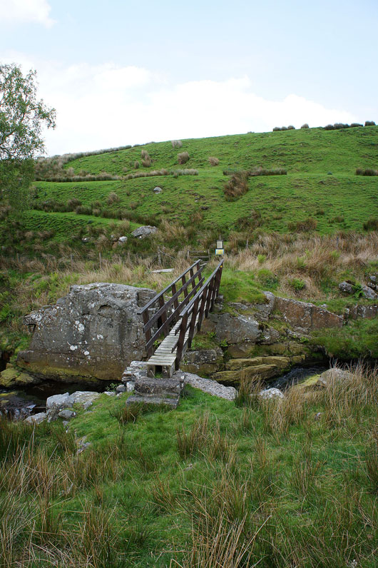
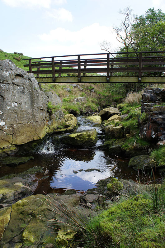
First I need to cross Goodber Beck. Downstream it flows through the wooded Pedder Gill.
|
|
Crossing Goodber Beck
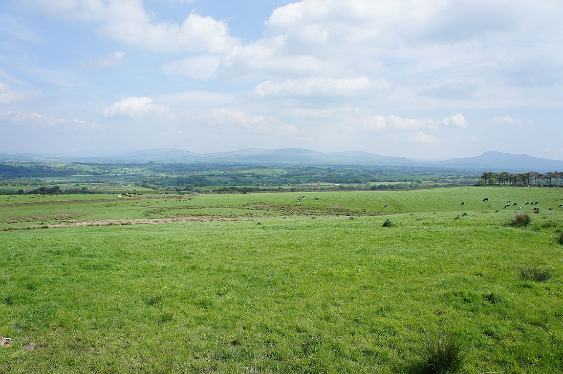
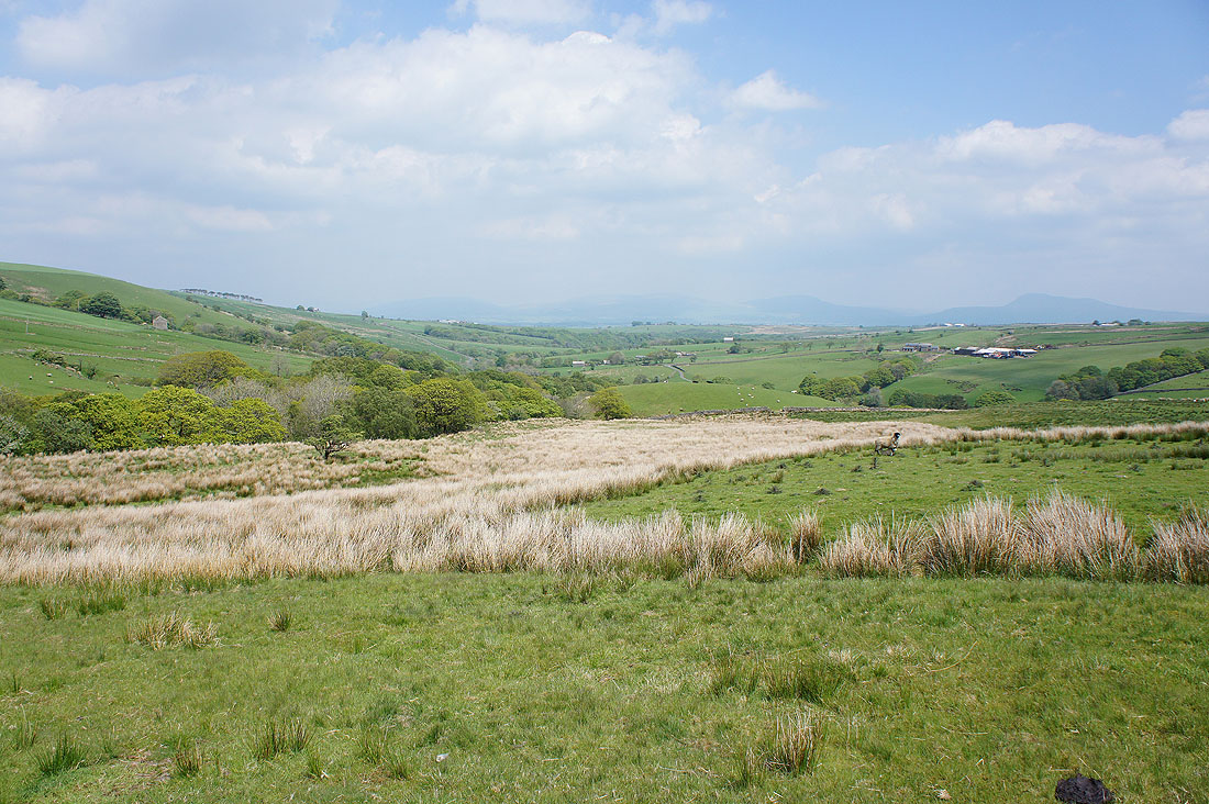
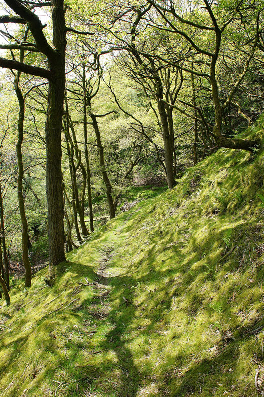
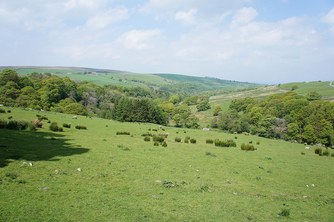
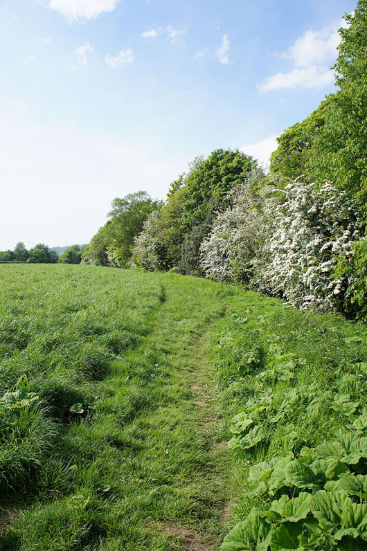
No more farms to visit now. The path contours the hillside on the eastern side of Roeburndale.
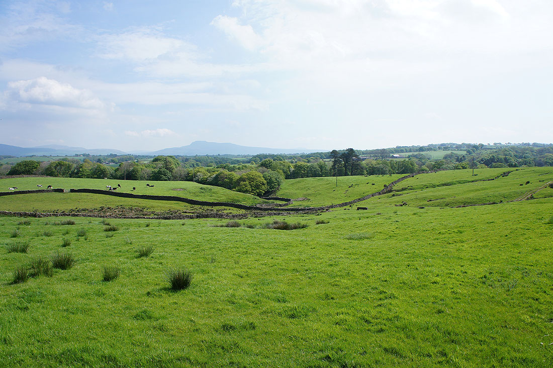
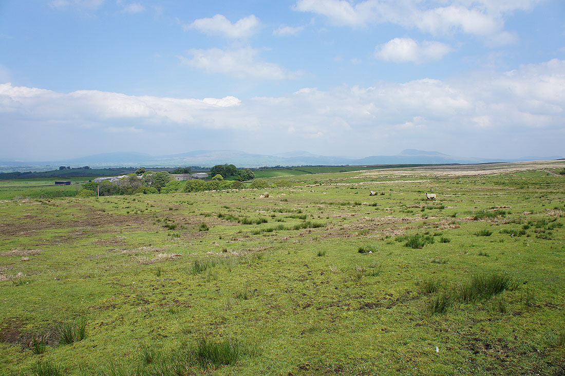
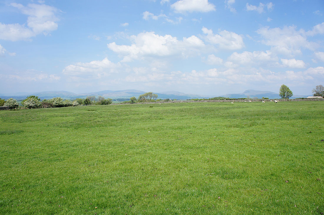
Great views of the countryside surrounding the Lune valley and across to the western fells of the Yorkshire Dales...
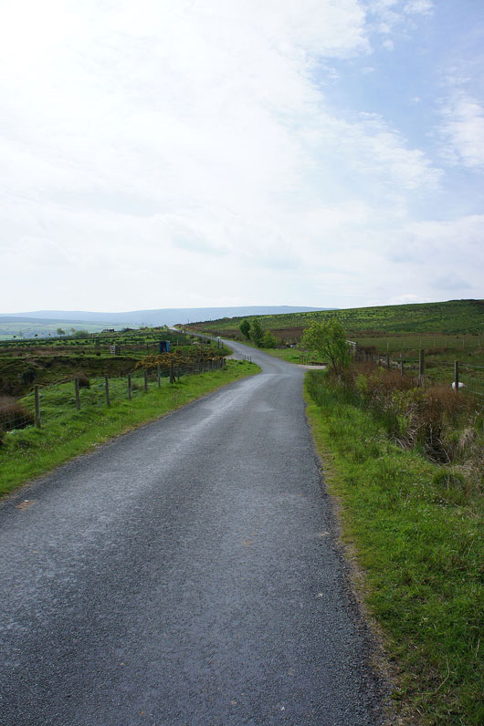
A quiet road walk back down to Wray
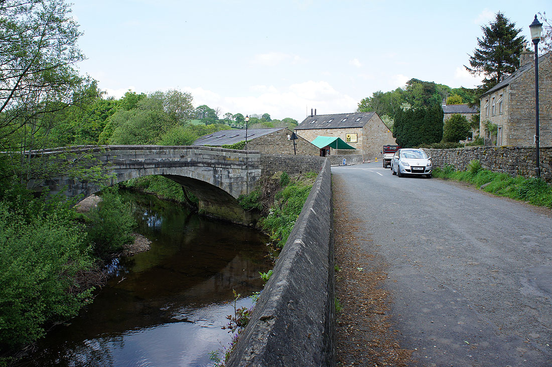
Back in Wray and I'll cross Wray Bridge and join the left bank of the Roeburn
The final few yards of the Roeburn as it joins the River Hindburn
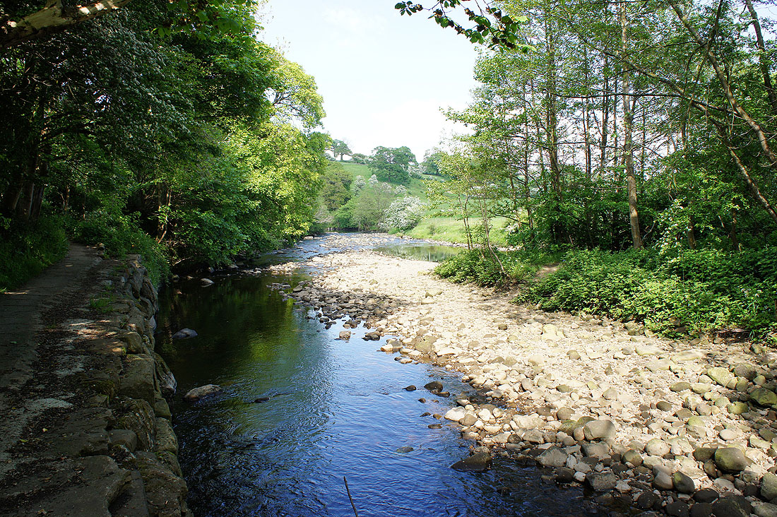
By the banks of the Hindburn
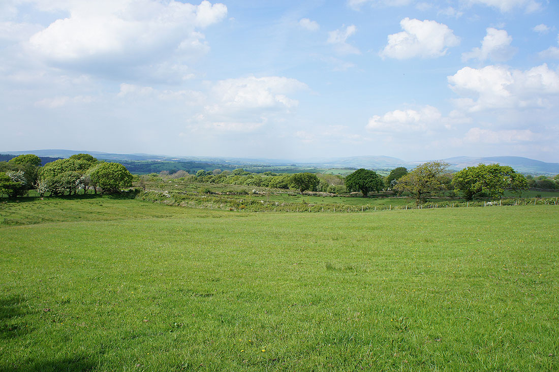
Just a short walk along the edge of a field next to the river remains
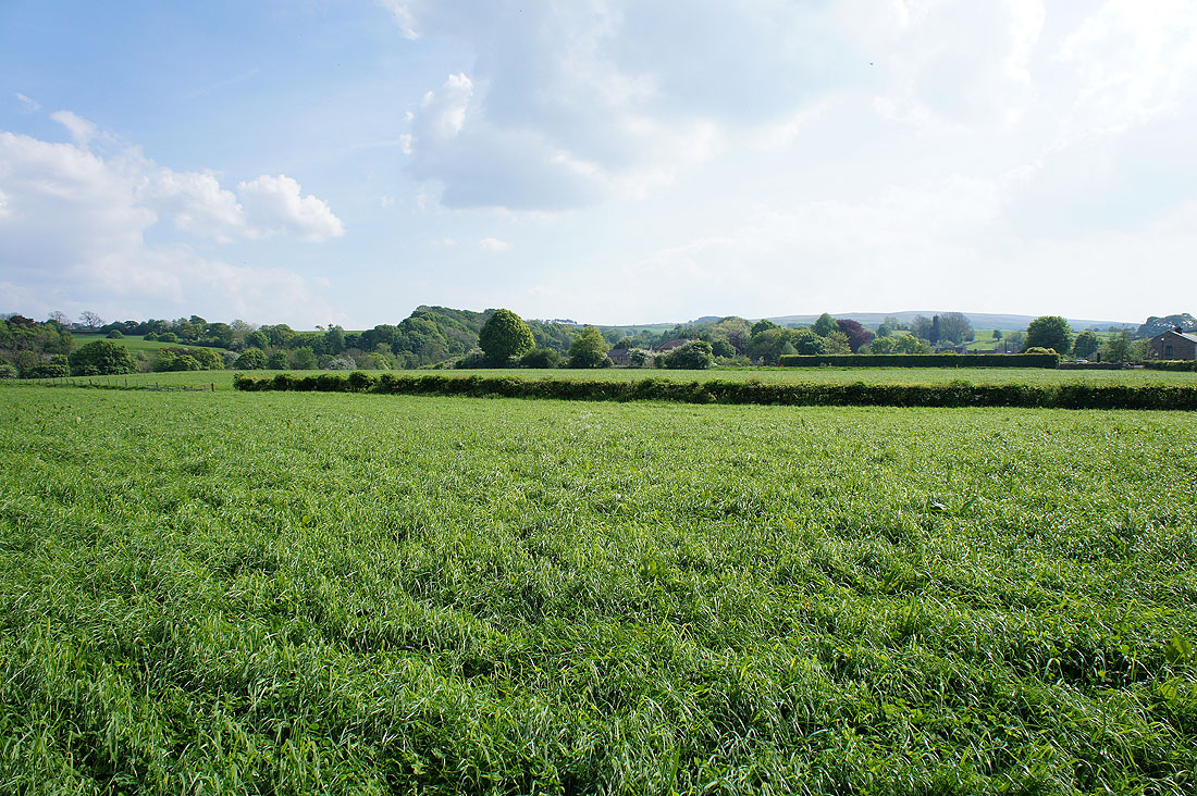
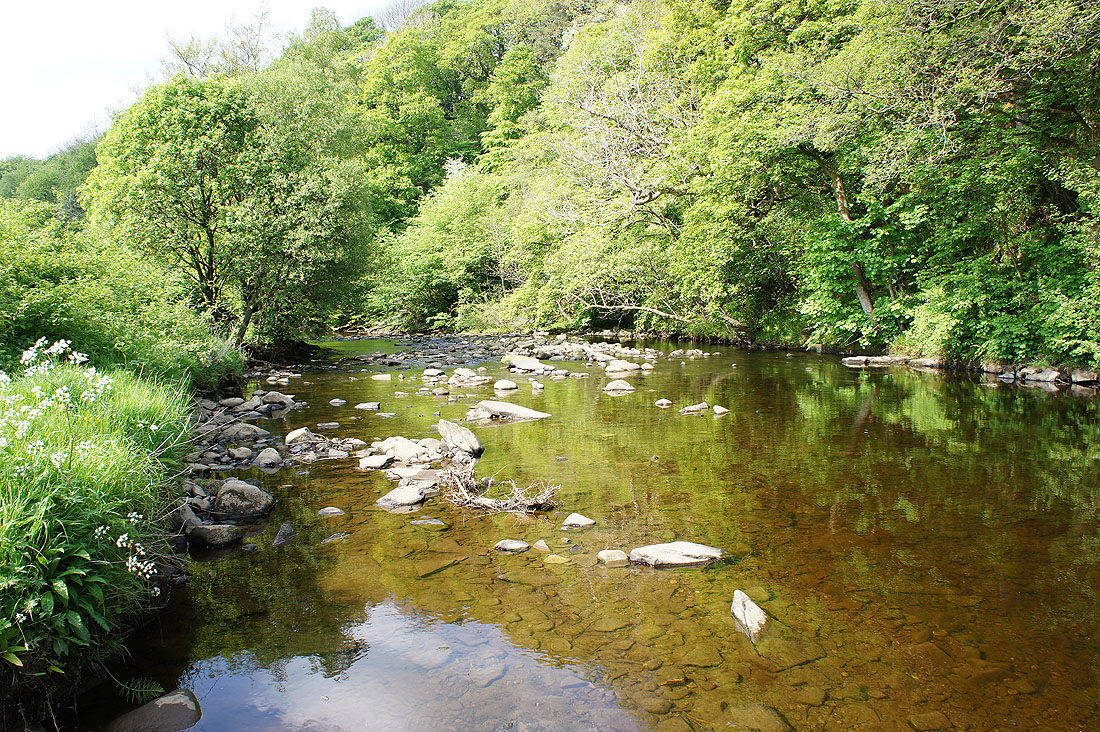
and a final shot across rich pastures to Wray