20th December 2015 - Eyam Edge & Foolow
Walk Details
Distance walked: 9.2 miles
Total ascent: 1524 ft
OS map used: OL24 - The Peak District, White Peak area
Time taken: 5.5 hrs
Route description: Stoney Middleton-The Bank-New Road-Stoke Wood-Riley Wood-Town End-Edge Road-Bole Hill-Sir William Hill-Sir William Hill Road-Bretton-Hucklow Edge-Grindlow-Foolow-Eyam-Town End-The Cliff-Stoney Middleton
After all the terrible weather of recent weeks today was one of those days that makes up for it and fortunately it coincided with the weekend. I did decide to head to the Peak District to make the most of it though. My destination was Stoney Middleton for a walk around Eyam and where the Dark and White Peak areas meet. For much of the day I enjoyed blue skies and sunny spells except for an hour around the middle of the day when it clouded over and there was a brief shower. One constant was the wind and it was really strong while I was walking along the road above Eyam Edge. Still really mild for the time of year.
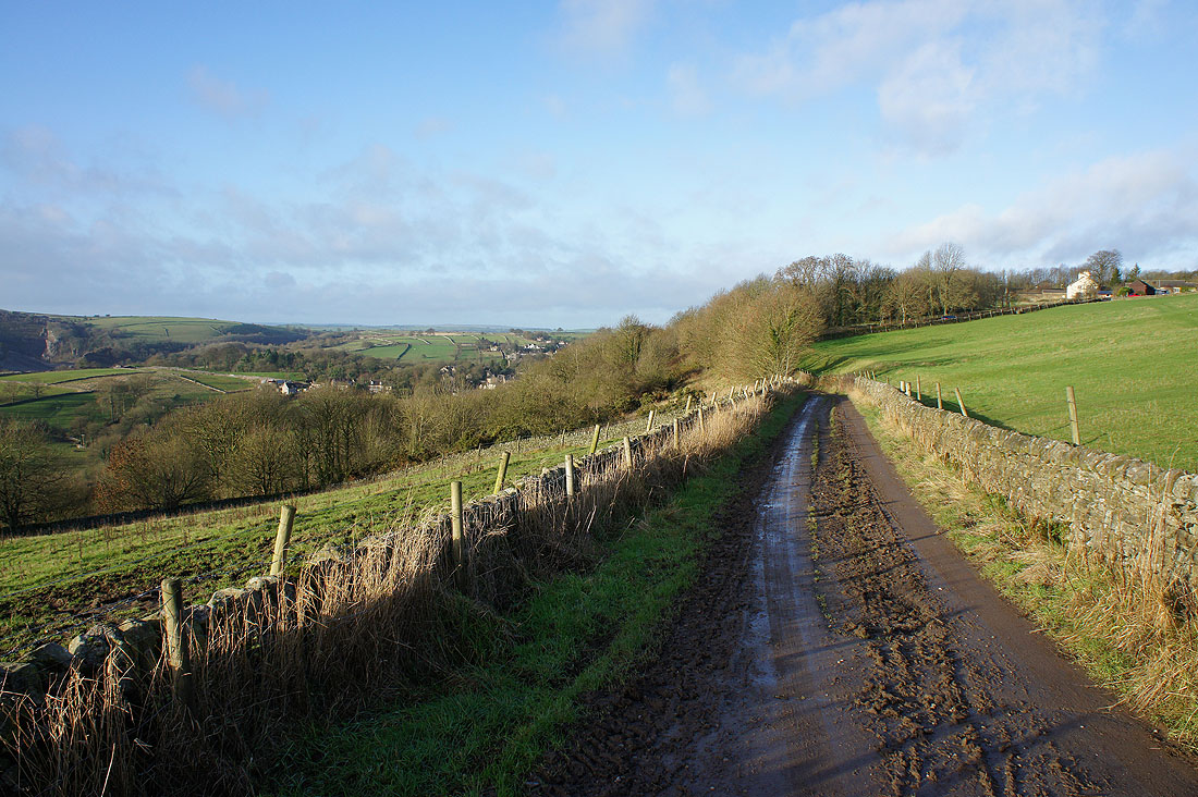
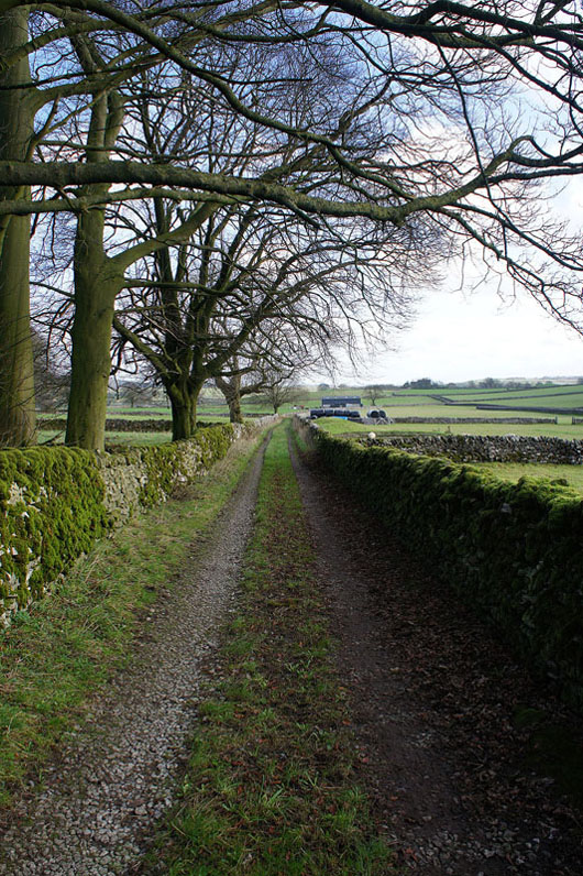
After parking carefully in Stoney Middleton I left the village by taking the bridleway up The Bank to the B6521. Across the road and another bridleway was followed up into Stoke Wood, then along the hillside and down into Riley Wood and the Town End part of Eyam. Here, I turned right and onto the bridleway, then footpath up the hill to Edge Road, across, up past the youth hostel and to the lane below Bole Hill. I then crossed the lane and followed the footpath north over Bole Hill to Sir William Hill Road. Before heading west along Sir William Hill Road I paid the trig point on Sir William Hill a visit. It would have been rude not to and it was a convenient place to take a break. That done, the next part of the walk was easy going as I walked west along Sir William Hill Road and then the lane past the Barrel Inn and down to Great Hucklow. Before I reached Great Hucklow though I turned left and followed the lane into Grindlow, then where the lane makes a sharp right I went straight on, taking the footpath across the fields to the road to Foolow. After walking through Foolow and onto the road to Eyam I soon left it for the footpath that heads east across the fields and down into Eyam. I walked through the village past Eyam Hall and when I reached Town End where I was earlier in the day I took the bridleway past the Lydgate Graves and then the footpath over The Cliff back to Stoney Middleton.
Total ascent: 1524 ft
OS map used: OL24 - The Peak District, White Peak area
Time taken: 5.5 hrs
Route description: Stoney Middleton-The Bank-New Road-Stoke Wood-Riley Wood-Town End-Edge Road-Bole Hill-Sir William Hill-Sir William Hill Road-Bretton-Hucklow Edge-Grindlow-Foolow-Eyam-Town End-The Cliff-Stoney Middleton
After all the terrible weather of recent weeks today was one of those days that makes up for it and fortunately it coincided with the weekend. I did decide to head to the Peak District to make the most of it though. My destination was Stoney Middleton for a walk around Eyam and where the Dark and White Peak areas meet. For much of the day I enjoyed blue skies and sunny spells except for an hour around the middle of the day when it clouded over and there was a brief shower. One constant was the wind and it was really strong while I was walking along the road above Eyam Edge. Still really mild for the time of year.
After parking carefully in Stoney Middleton I left the village by taking the bridleway up The Bank to the B6521. Across the road and another bridleway was followed up into Stoke Wood, then along the hillside and down into Riley Wood and the Town End part of Eyam. Here, I turned right and onto the bridleway, then footpath up the hill to Edge Road, across, up past the youth hostel and to the lane below Bole Hill. I then crossed the lane and followed the footpath north over Bole Hill to Sir William Hill Road. Before heading west along Sir William Hill Road I paid the trig point on Sir William Hill a visit. It would have been rude not to and it was a convenient place to take a break. That done, the next part of the walk was easy going as I walked west along Sir William Hill Road and then the lane past the Barrel Inn and down to Great Hucklow. Before I reached Great Hucklow though I turned left and followed the lane into Grindlow, then where the lane makes a sharp right I went straight on, taking the footpath across the fields to the road to Foolow. After walking through Foolow and onto the road to Eyam I soon left it for the footpath that heads east across the fields and down into Eyam. I walked through the village past Eyam Hall and when I reached Town End where I was earlier in the day I took the bridleway past the Lydgate Graves and then the footpath over The Cliff back to Stoney Middleton.
Route map
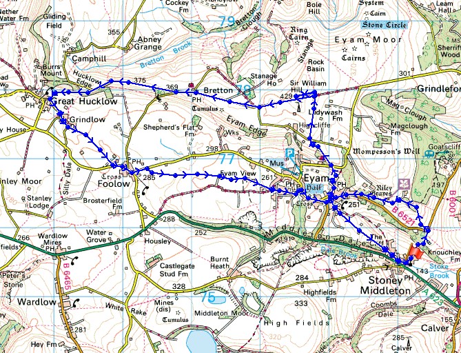
© Crown copyright. All rights reserved. License number PU 100034184.
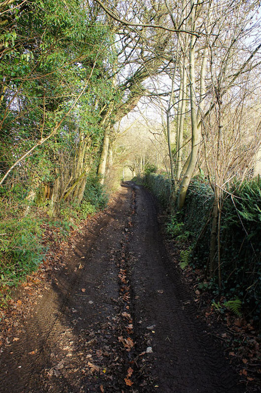
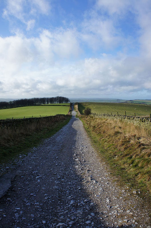
Leaving Stoney Middleton by the bridleway up The Bank
Out into the open. It really lifts the spirits to see the blue skies and sunshine.
Looking across to Curbar Edge
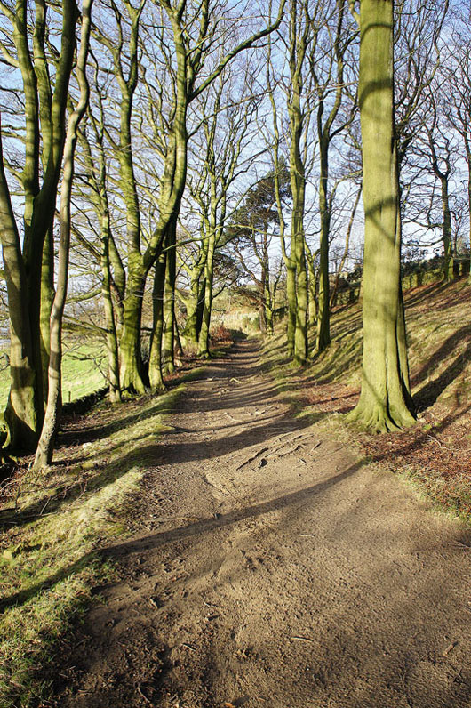
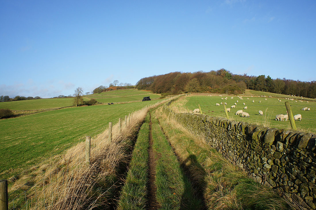
After crossing New Road, on the bridleway through Stoke Wood
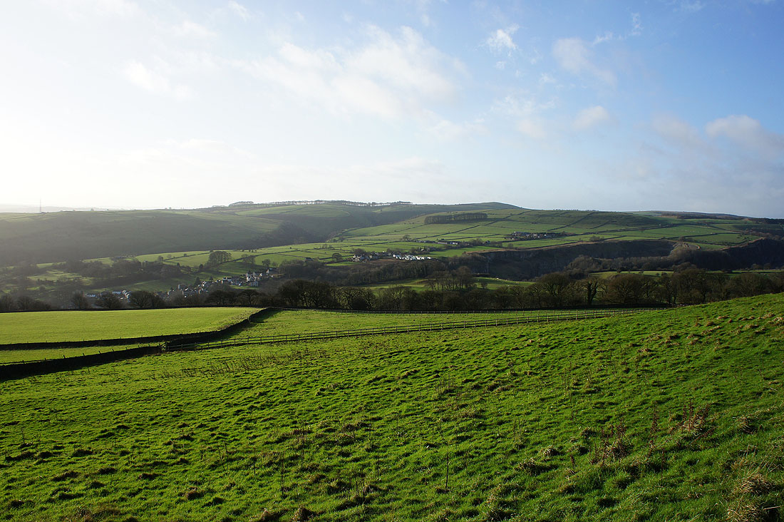
Coombs Dale, Middleton Moor and Longstone Moor on the other side of Middleton Dale
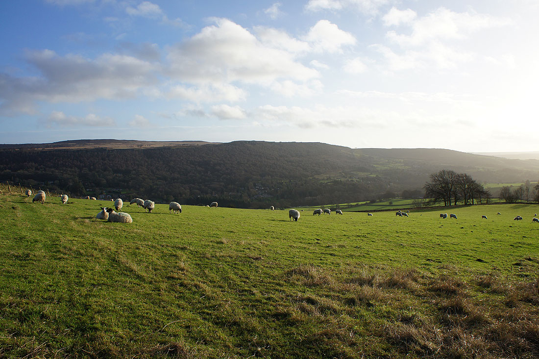
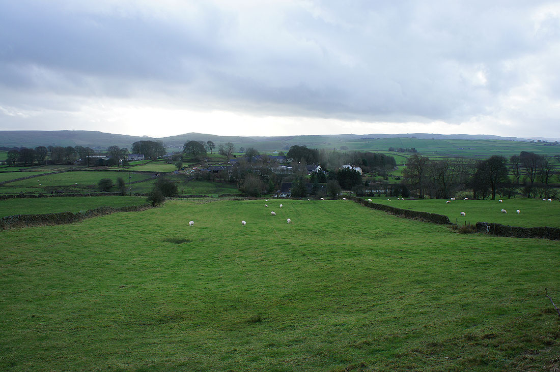
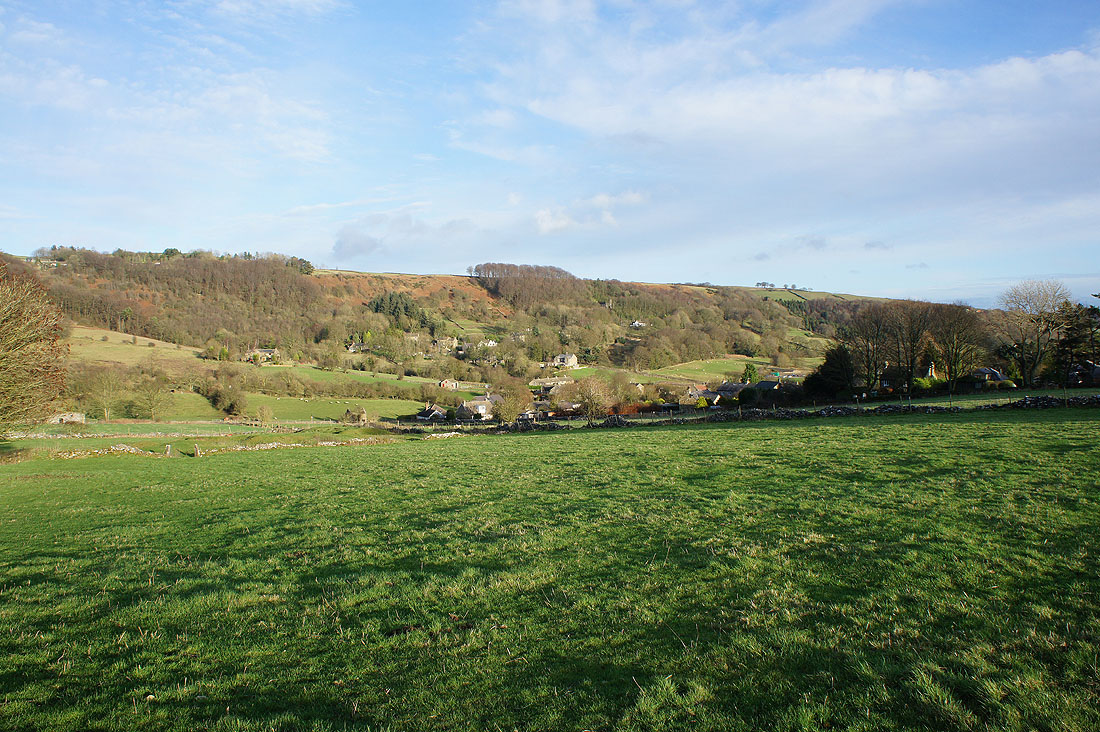
Approaching Eyam with Riley Wood just ahead
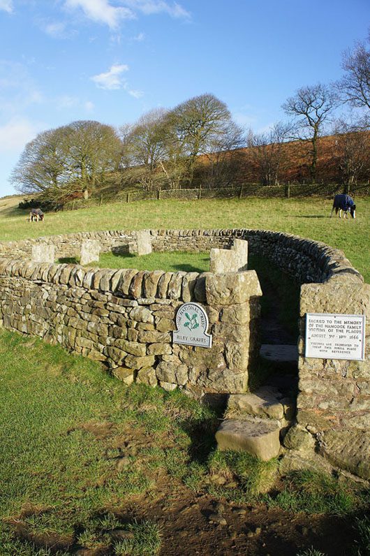
The "Riley Graves". Members of the Hancock family who were victims of the plague in 1666 are buried here. Eyam is famous as a plague village as it voluntarily quarantined itself to prevent its spread. There's a lot of history to see in the village.
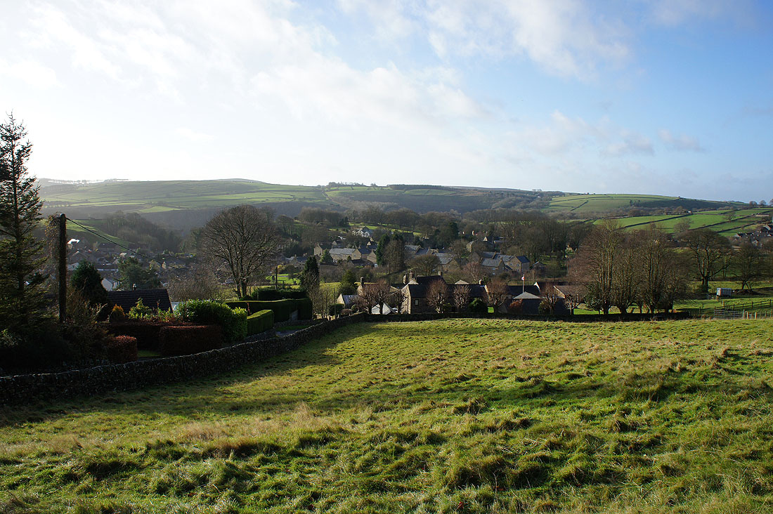
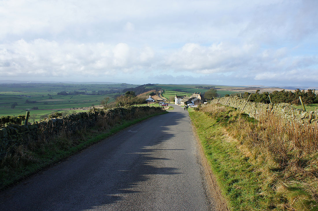
Eyam from the top of the bridleway through Town End
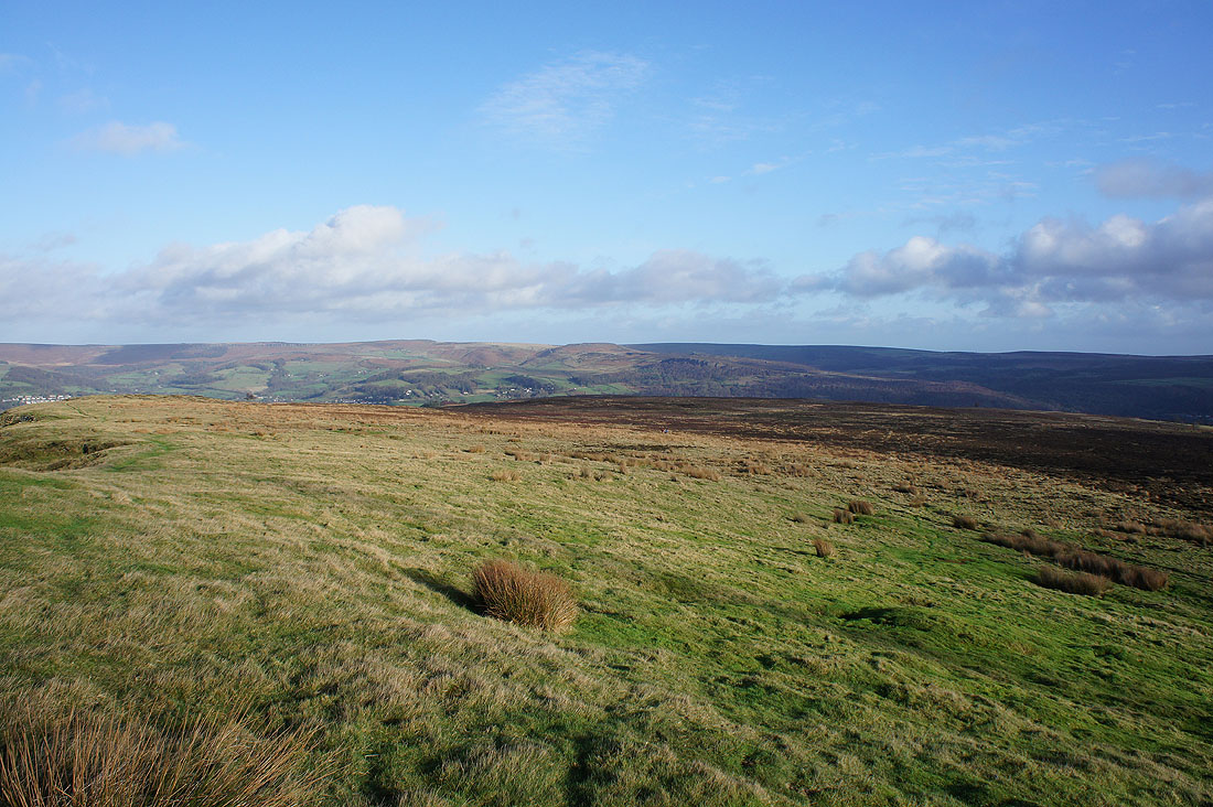
Looking west along Eyam Edge
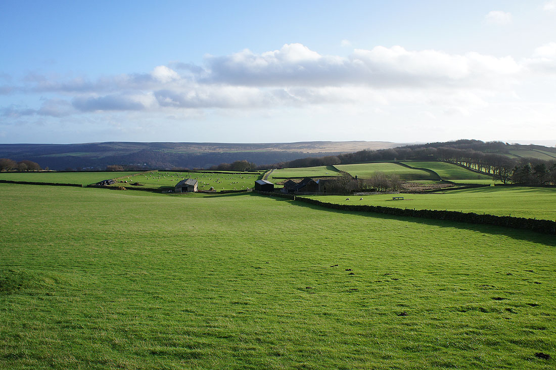
Froggatt Edge beyond the nearby Ladywash Farm
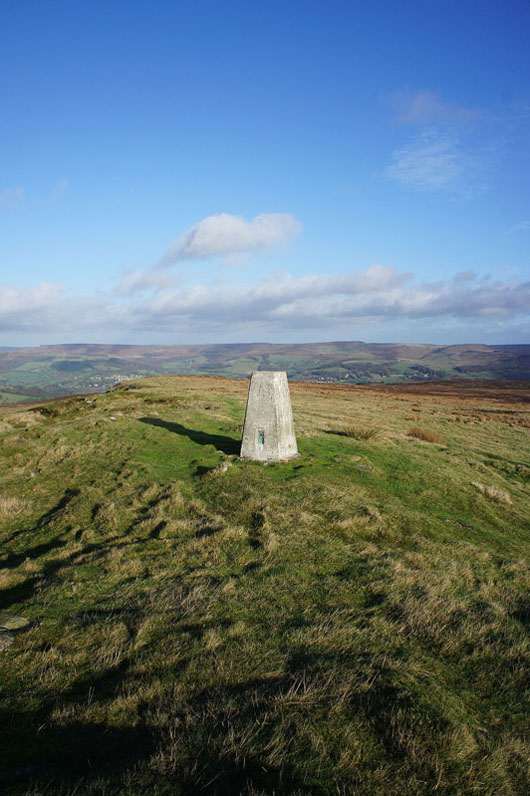
The trig point on Sir William Hill, the high point of the walk. It can only be accessed by the public footpath from Sir William Hill Road so I'll have to head back the same way I came once I'm done here.
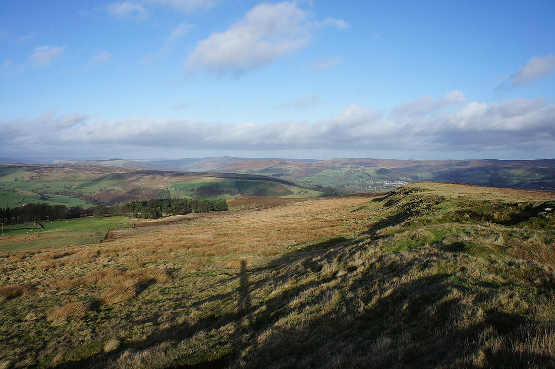
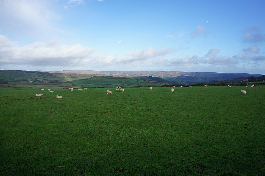
It's my first time here and I'm glad I've got the weather to appreciate the view. Win Hill, Bamford Edge and Stanage Edge to the north.
A distant Mam Tor and Kinder Scout to the northwest
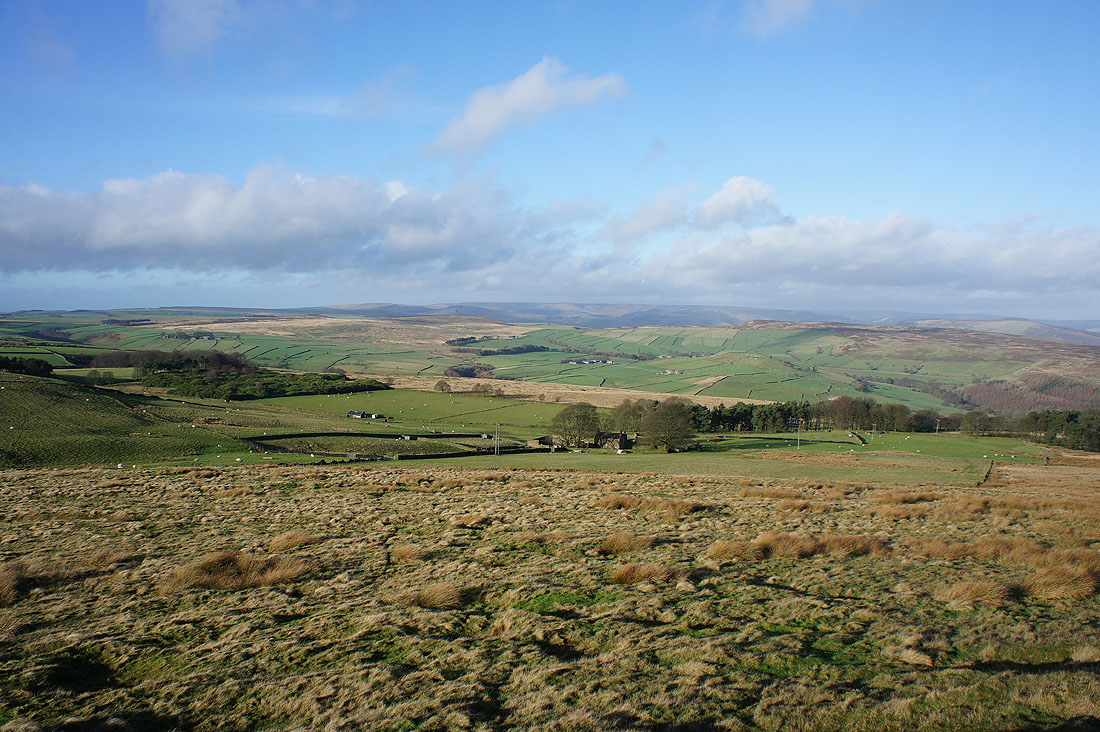
Looking west along Sir William Hill Road. I think the hills in the far distance are those around Buxton, such as Axe Edge Moor.
Higger Tor and Millstone Edge as I head back to Sir William Hill Road
and heading west along Sir William Hill Road
Walking along the road past the Barrel Inn to Hucklow Edge
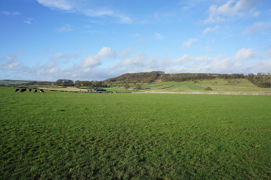
Longstone Moor and Wardlow Hay Cop from opposite the Barrel Inn. It's very windy here as it rushes up the slope of the hill. I'm also looking at the direction that the weather is coming from. Looks like it's going to change.
A last chance of a view of Stanage Edge
Grindlow as a brief shower passes through
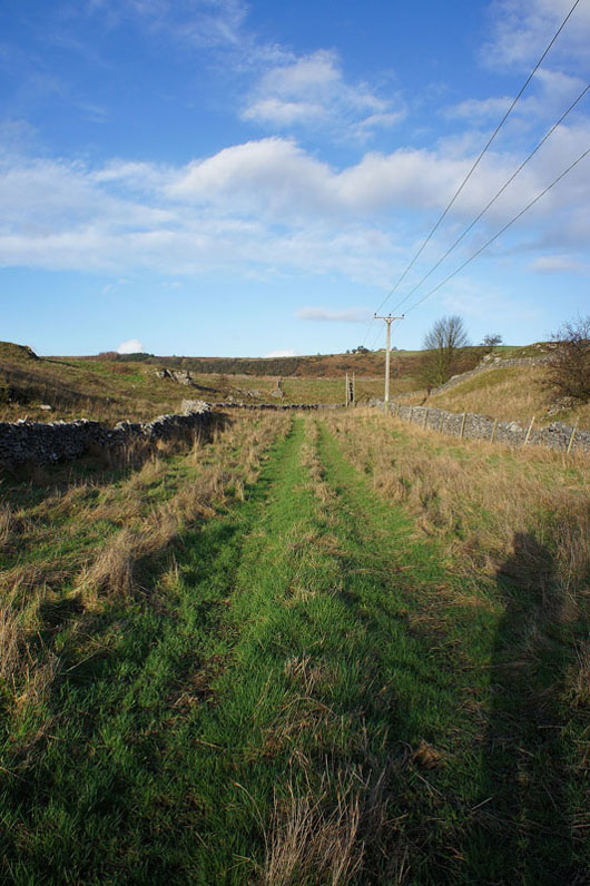
and after walking through Grindlow, on the footpath to Foolow
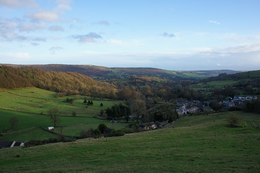
Looking back to Grindlow and Hucklow Edge. What a transformation! It's a lovely afternoon now.
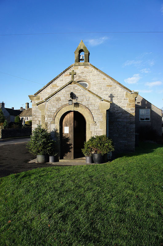
St. Hugh's Church in Foolow
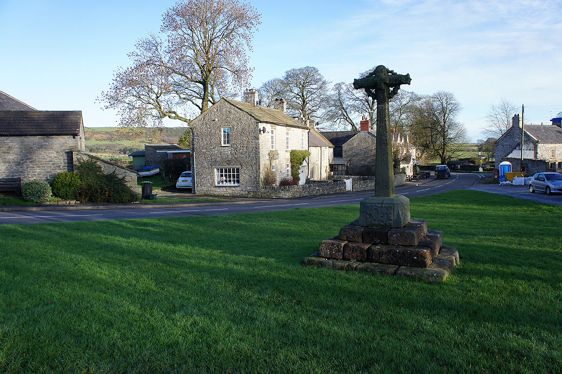
and the village green
Looking back to Foolow and Hucklow Edge from the footpath to Eyam
and the way ahead with Eyam Edge on the left
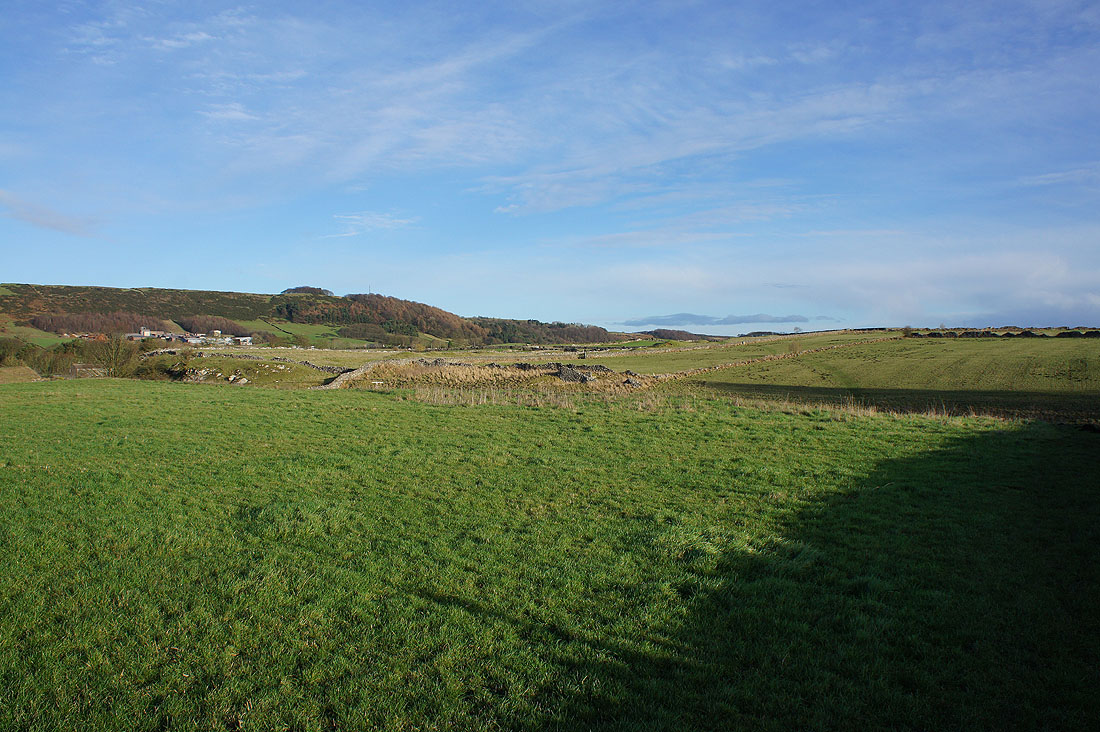
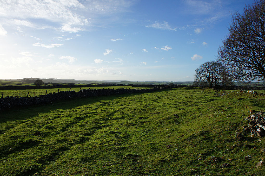
Across the little limestone valley of Linen Dale
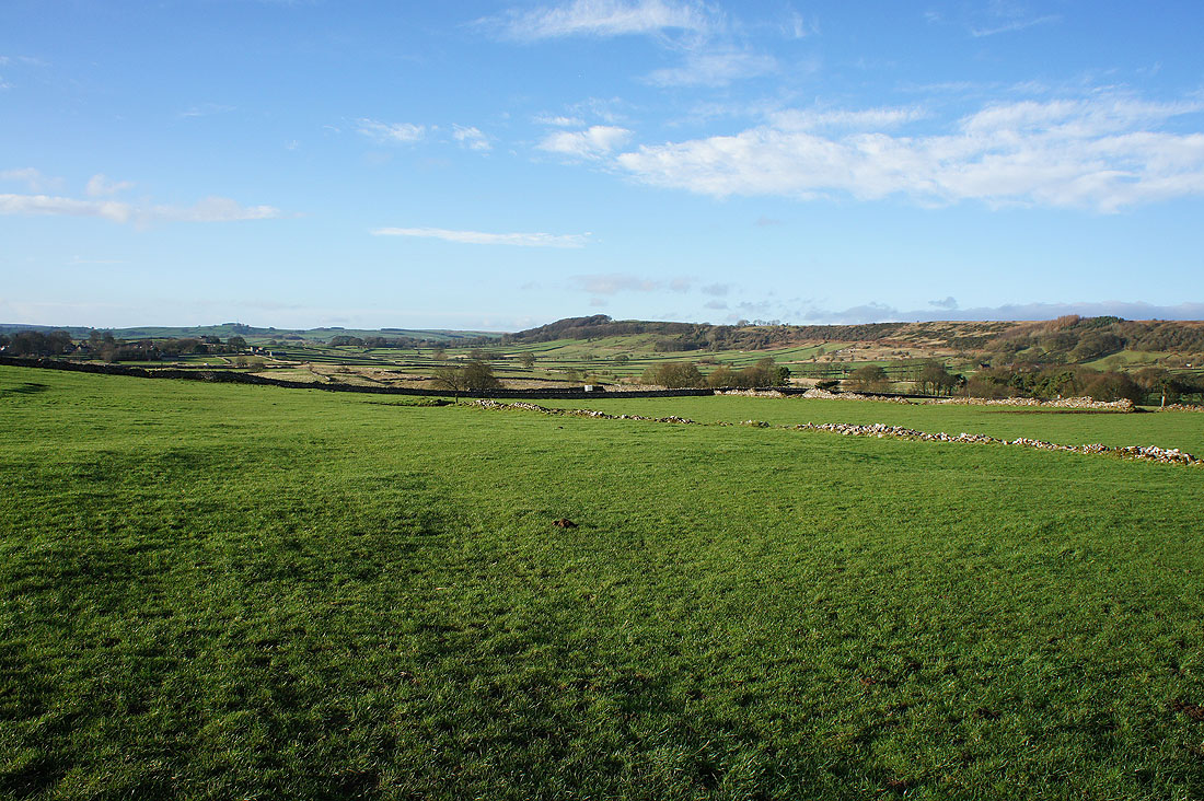
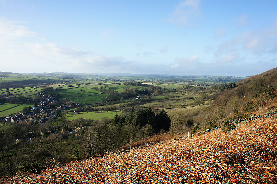
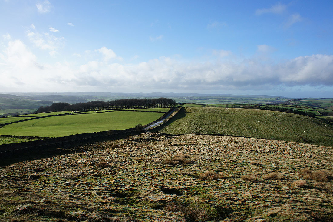
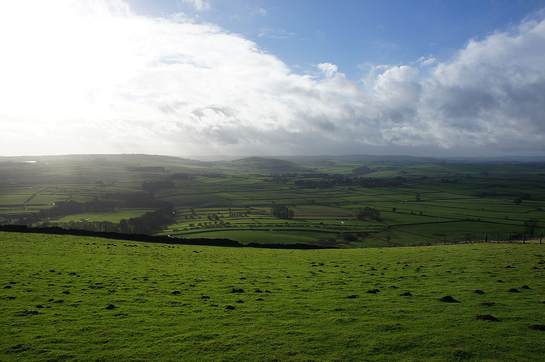
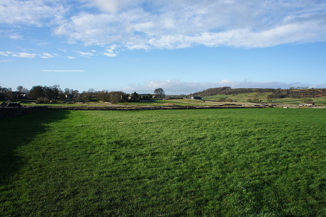
Great views as I look back west across the countryside as I head for Eyam..
Eyam Edge. I was up there earlier in the day.
and heading down into Eyam. I can make out Curbar and Baslow Edges in the distance.
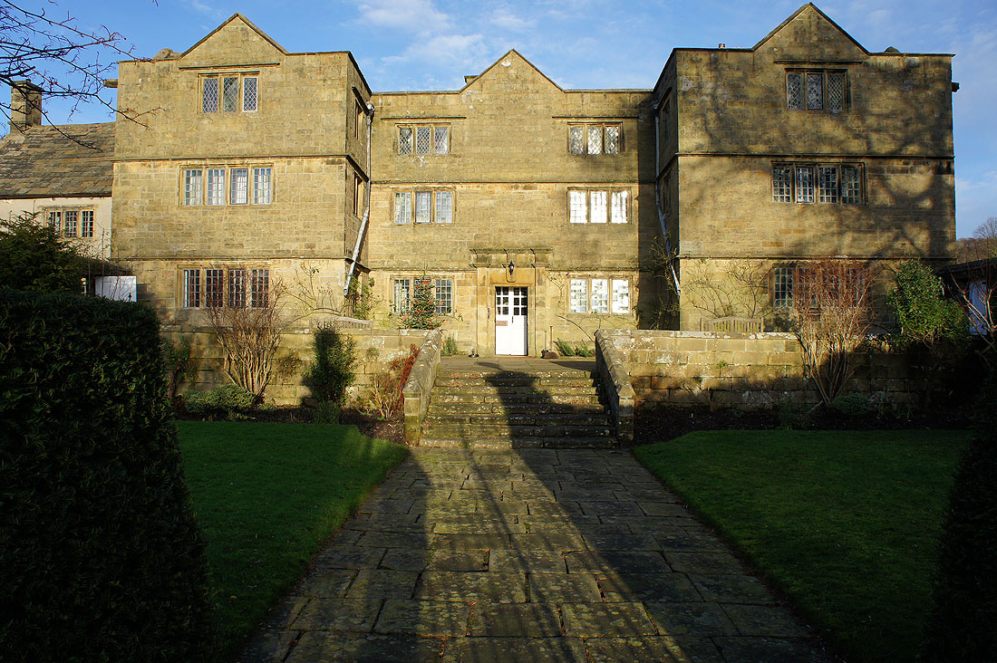
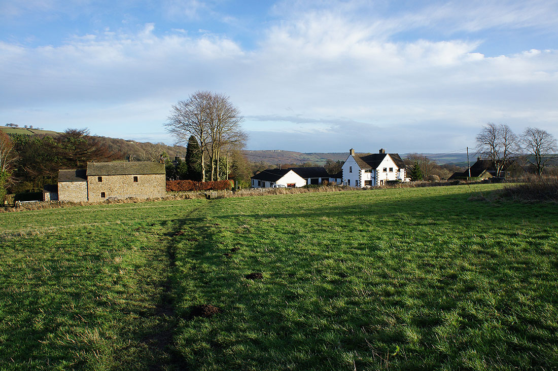
Passing Eyam Hall
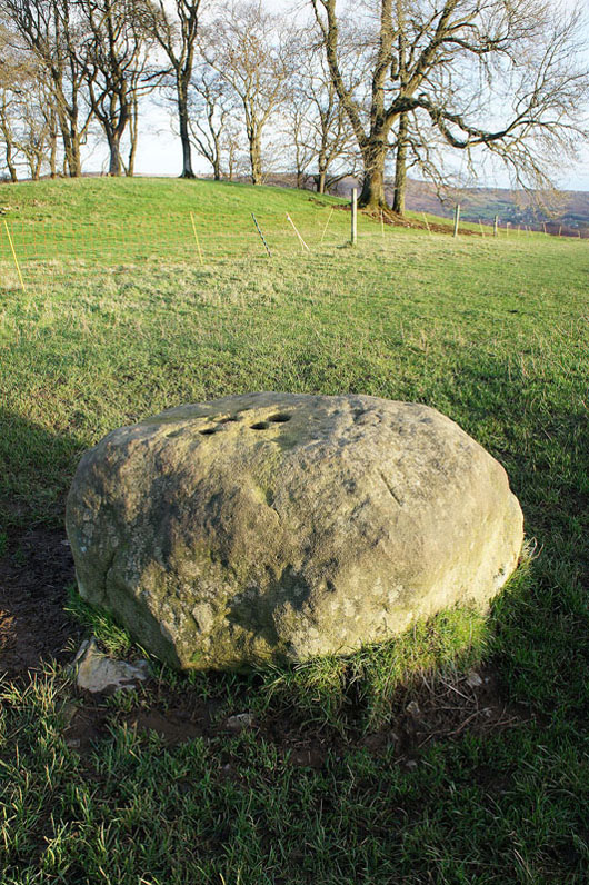
The Boundary Stone. When Eyam quarantined itself this stone on the parish boundary was used as a place to exchange food and money. Coins soaked in vinegar to kill the germs were placed in the holes.
Curbar and Baslow Edges in the distance as I make the final descent back to Stoney Middleton