24th February 2019 - Buckden Pike
Walk Details
Distance walked: 9.2 miles
Total ascent: 2087 ft
OS map used: OL30 - Yorkshire Dales, Northern & Central areas
Time taken: 6 hrs
Route description: Buckden-Buckden Gill-Buckden Lead Mine-Buckden Pike-Buckden Rake-Cray-Scar House-Yockenthwaite-Dales Way-Hubberholme-Dales Way-Buckden
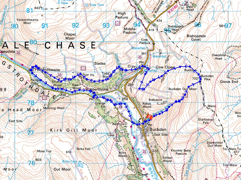
My second walk of the weekend and there's another day of record breaking winter warmth to enjoy. In fact, during the afternoon when I walking along the path from Cray to Yockenthwaite it was warm enough for me to take my fleece off and go with just a base layer with the sleeves rolled up. I'd decided to climb Buckden Pike today, a hill that I've been to the top of many times but by a new route, by following Buckden Gill up to the disused lead mine at its top. I thoroughly enjoyed it. There's plenty of fantastic scenery to appreciate and a few waterfalls to take in, which made bringing my tripod and filter along worthwhile. I'll definitely be going that way again, though after wet weather, the waterfalls would look more impressive. It was a beautiful day for being on the fells with lots of sunshine, though the unseasonable warmth did bring a thick haze with it so the view was limited to that of the neighbouring hills.
I left the NP car park in Buckden through the gate for the bridleway to Buckden Rake but turned right straight away and made my way across the hillside to Buckden Beck. I then followed a path up Buckden Gill to the disused lead mine at its top and from there a clear path took me up the hillside to the summit ridge just south of the trig point. A short walk after climbing over a ladder stile and I was there. After taking a break for lunch I left the summit by taking the path northwest then west down the fell to the bridleway of Buckden Rake which I followed north before leaving it for the footpath down to the hamlet of Cray. From Cray I took the path behind the White Lion Inn and followed it west across Crook Gill, to Scar House, through Rais Wood and down to the hamlet of Yockenthwaite. I then followed the trail of the Dales Way east by the River Wharfe to Hubberholme, and after crossing the bridge over the River Wharfe continued on the trail to reach Buckden Bridge over the River Wharfe. I left the trail here for a short walk back up to Buckden.
Total ascent: 2087 ft
OS map used: OL30 - Yorkshire Dales, Northern & Central areas
Time taken: 6 hrs
Route description: Buckden-Buckden Gill-Buckden Lead Mine-Buckden Pike-Buckden Rake-Cray-Scar House-Yockenthwaite-Dales Way-Hubberholme-Dales Way-Buckden
My second walk of the weekend and there's another day of record breaking winter warmth to enjoy. In fact, during the afternoon when I walking along the path from Cray to Yockenthwaite it was warm enough for me to take my fleece off and go with just a base layer with the sleeves rolled up. I'd decided to climb Buckden Pike today, a hill that I've been to the top of many times but by a new route, by following Buckden Gill up to the disused lead mine at its top. I thoroughly enjoyed it. There's plenty of fantastic scenery to appreciate and a few waterfalls to take in, which made bringing my tripod and filter along worthwhile. I'll definitely be going that way again, though after wet weather, the waterfalls would look more impressive. It was a beautiful day for being on the fells with lots of sunshine, though the unseasonable warmth did bring a thick haze with it so the view was limited to that of the neighbouring hills.
I left the NP car park in Buckden through the gate for the bridleway to Buckden Rake but turned right straight away and made my way across the hillside to Buckden Beck. I then followed a path up Buckden Gill to the disused lead mine at its top and from there a clear path took me up the hillside to the summit ridge just south of the trig point. A short walk after climbing over a ladder stile and I was there. After taking a break for lunch I left the summit by taking the path northwest then west down the fell to the bridleway of Buckden Rake which I followed north before leaving it for the footpath down to the hamlet of Cray. From Cray I took the path behind the White Lion Inn and followed it west across Crook Gill, to Scar House, through Rais Wood and down to the hamlet of Yockenthwaite. I then followed the trail of the Dales Way east by the River Wharfe to Hubberholme, and after crossing the bridge over the River Wharfe continued on the trail to reach Buckden Bridge over the River Wharfe. I left the trail here for a short walk back up to Buckden.
Route map
© Crown copyright. All rights reserved. License number PU 100034184.
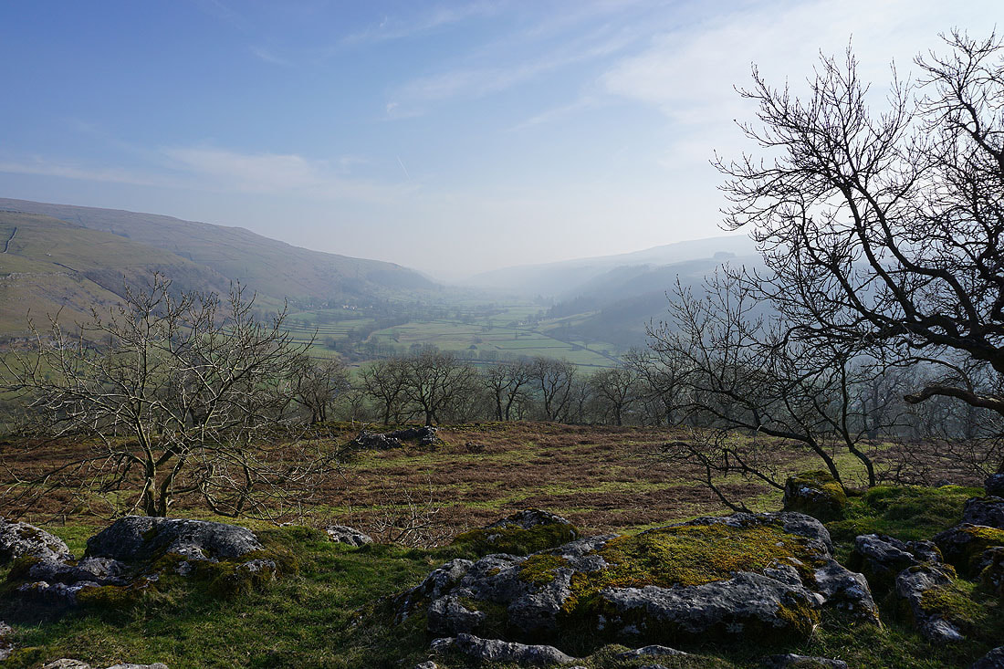
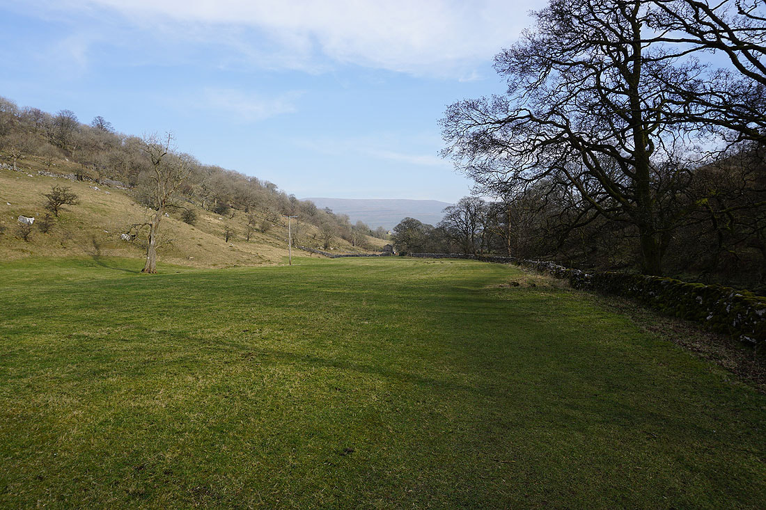
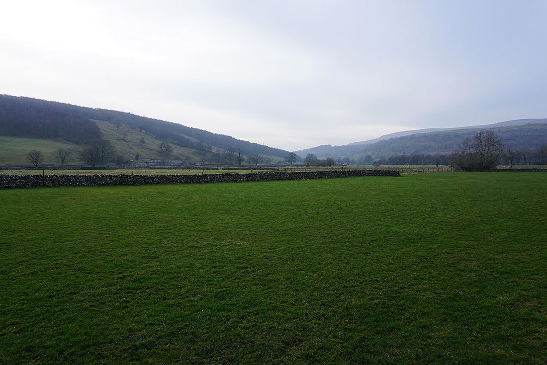
It's a beautiful morning in Wharfedale
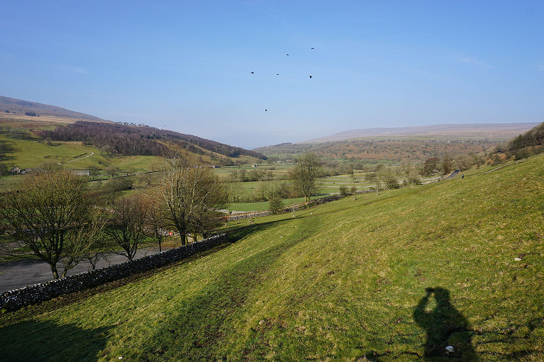
The village of Buckden below
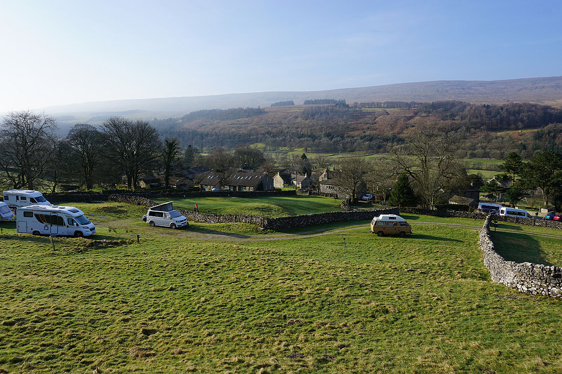
The first little waterfall on Buckden Beck
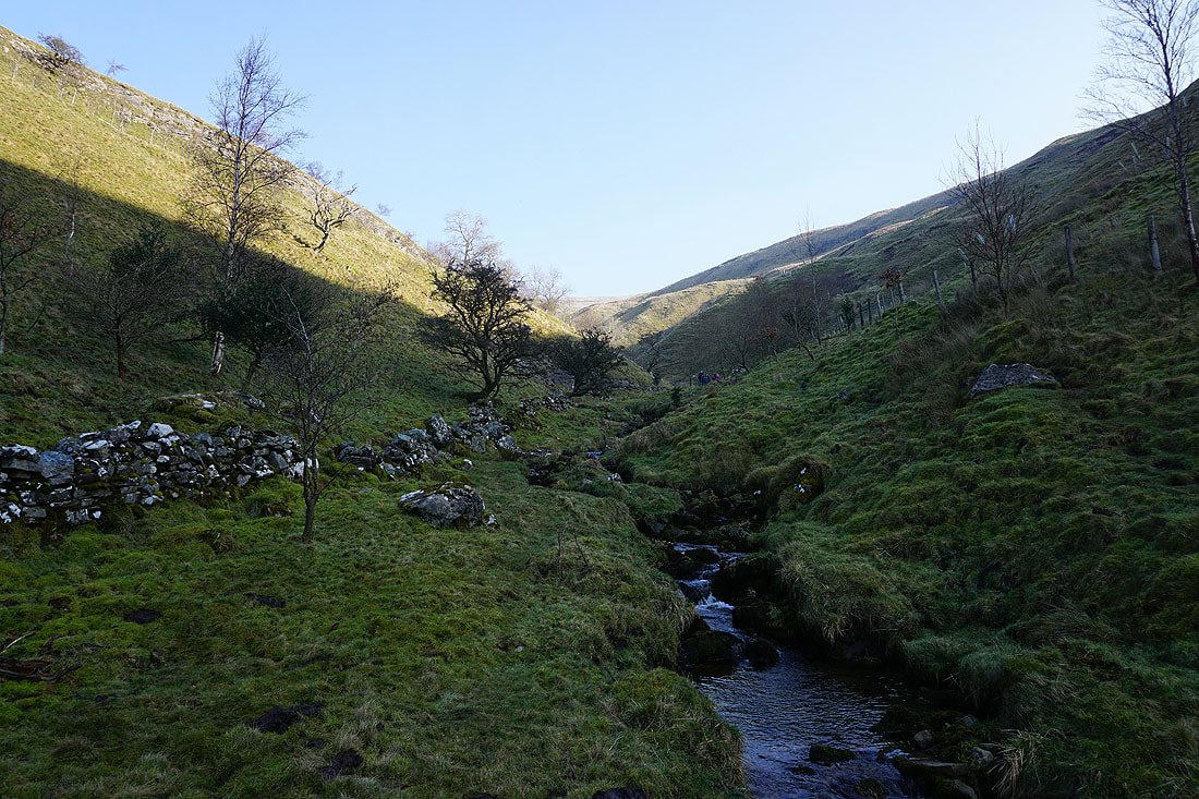
At the entrance to Buckden Gill
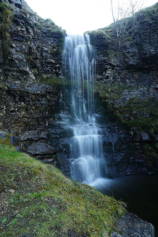
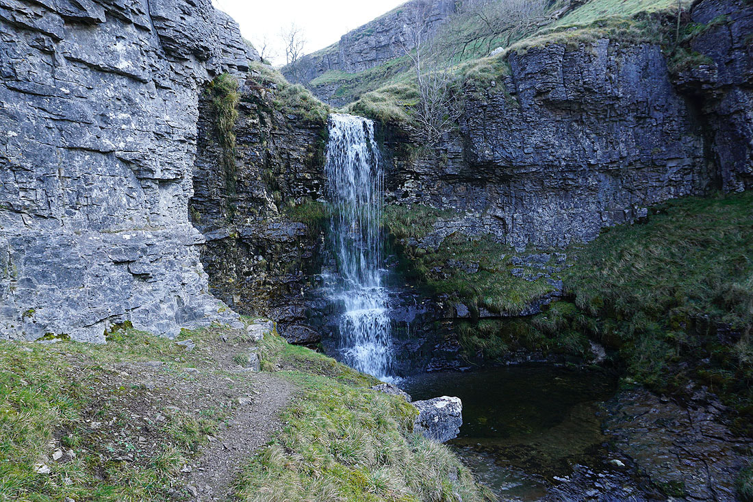
The first significant waterfall encountered..
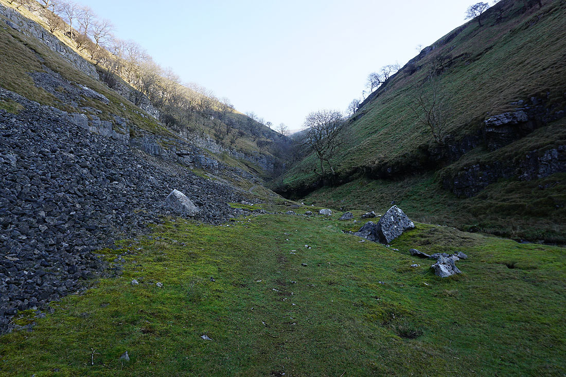
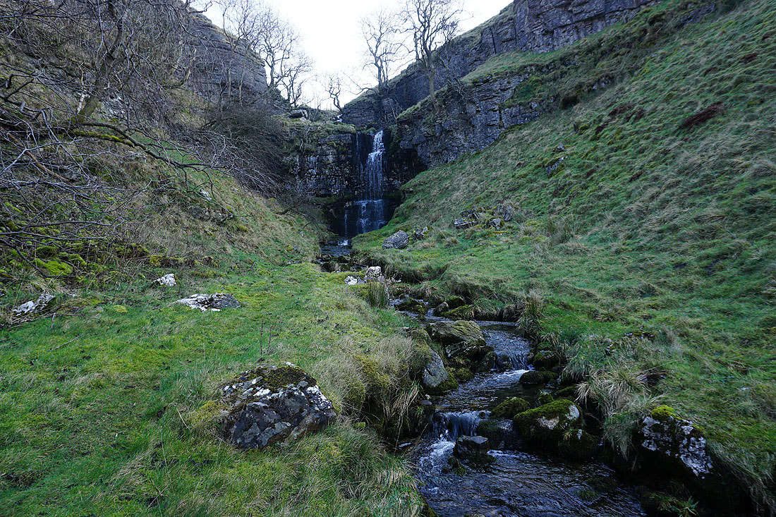
A look back down the gill to Buckden
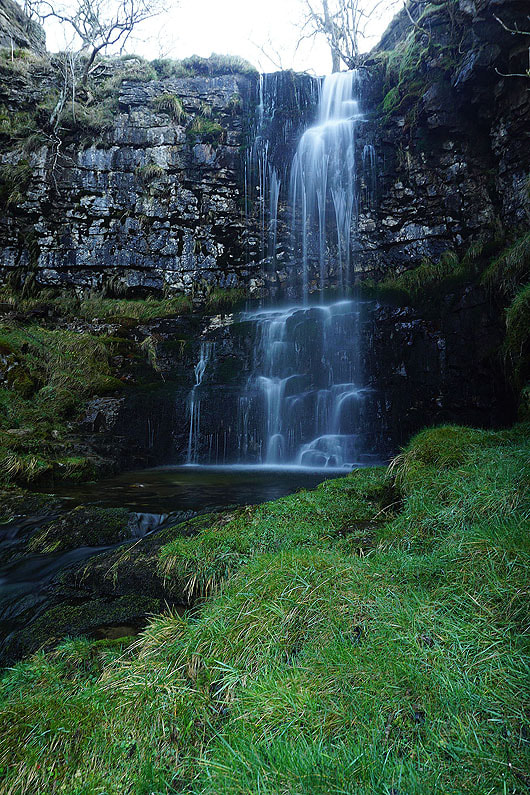
The second of the larger waterfalls..
A smaller fall just above the previous one
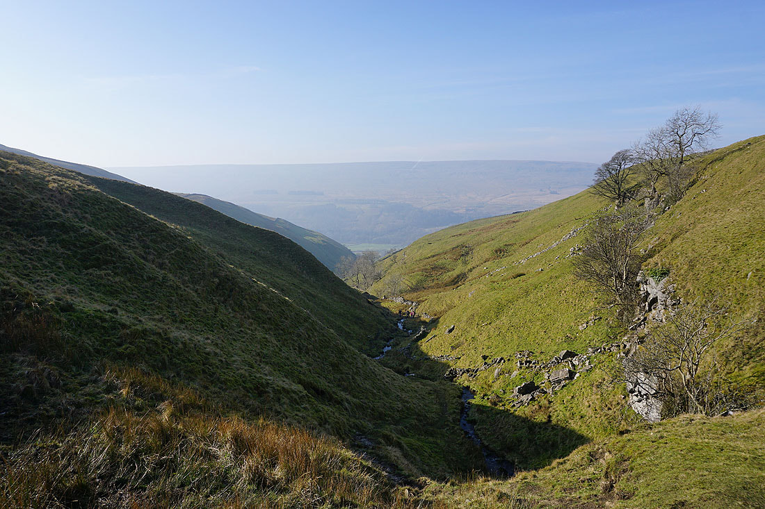
There's a great view back down the gill and across Wharfedale to Birks Fell
As I gain height the sides of the gill become less steep
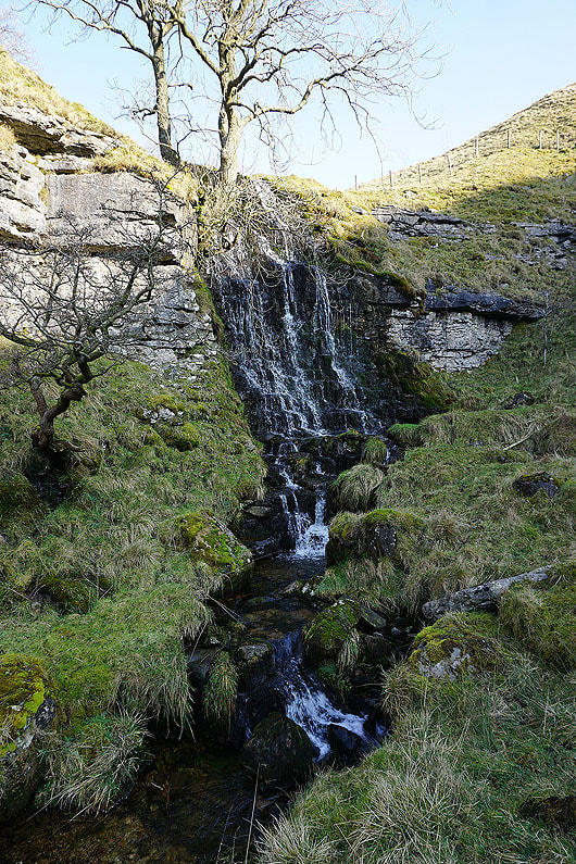
Another waterfall passed. There isn't that much water flowing down the beck at the moment so I'm sure they'd be more impressive after a lot of rain.
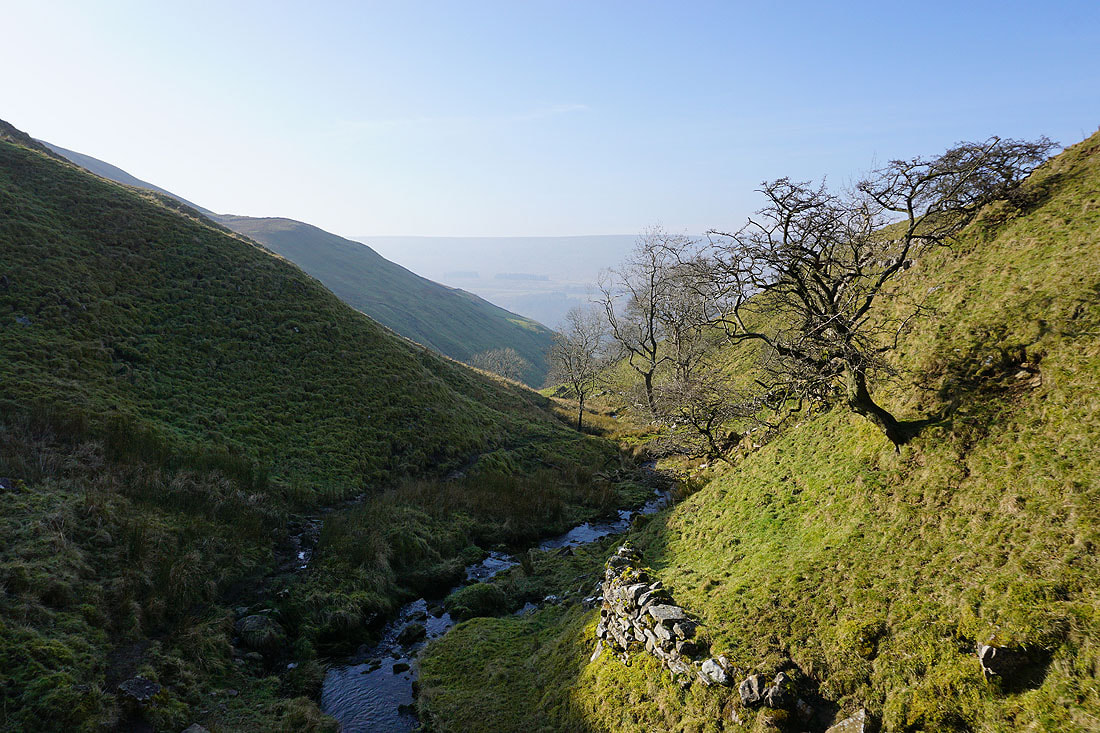
Another look back down the gill
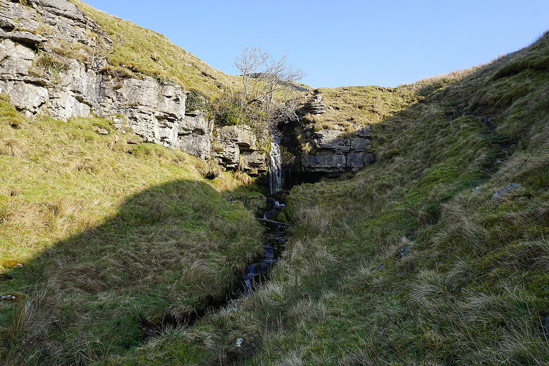
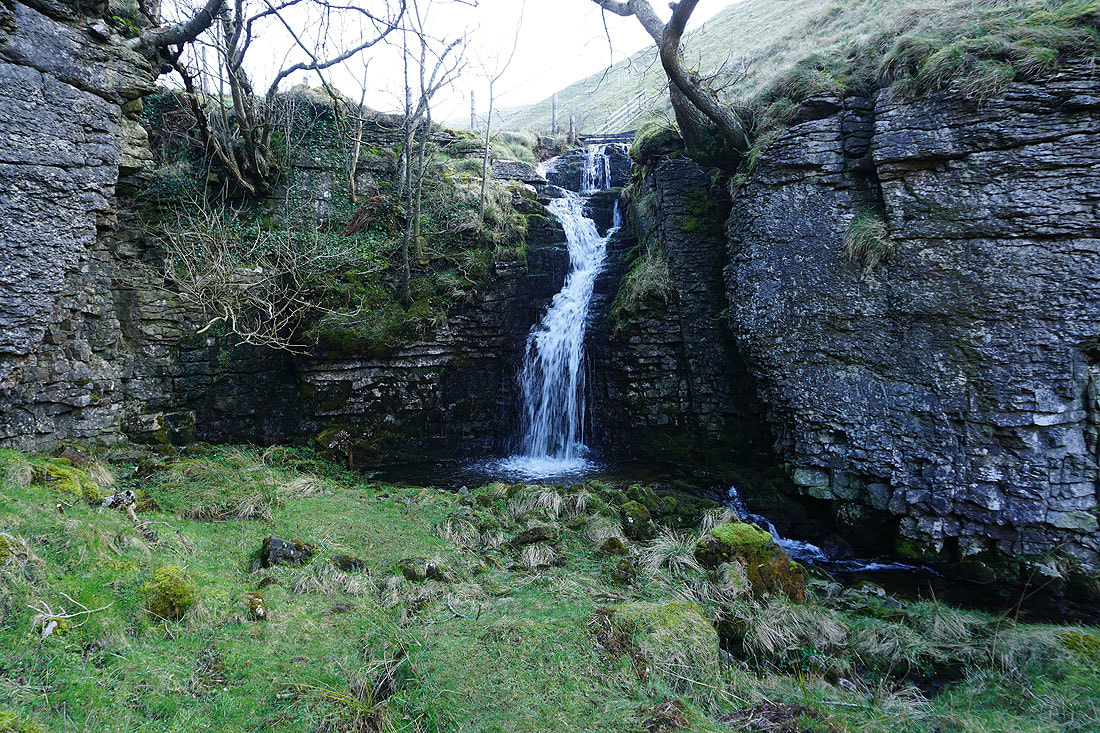
The final waterfall of any significance
From above that waterfall I can look all the way back down the gill
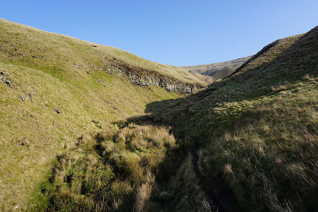
Approaching the lead mine
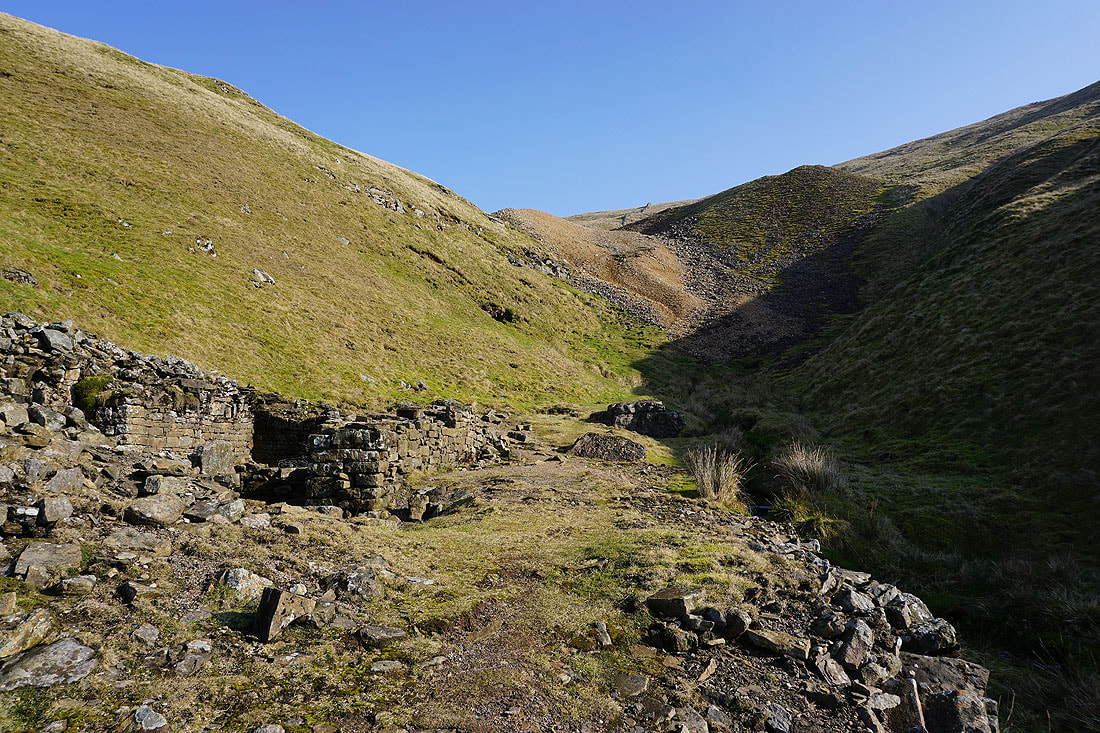
A ruined building and spoil heaps..
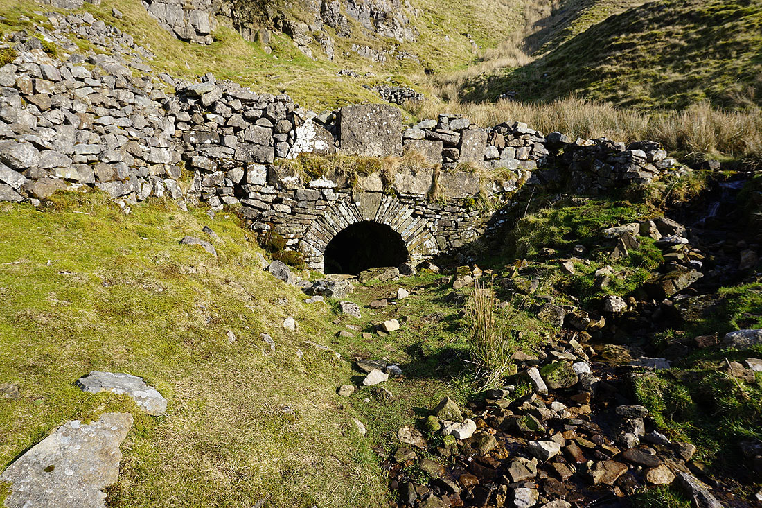
The disused level extends a long way into the hillside
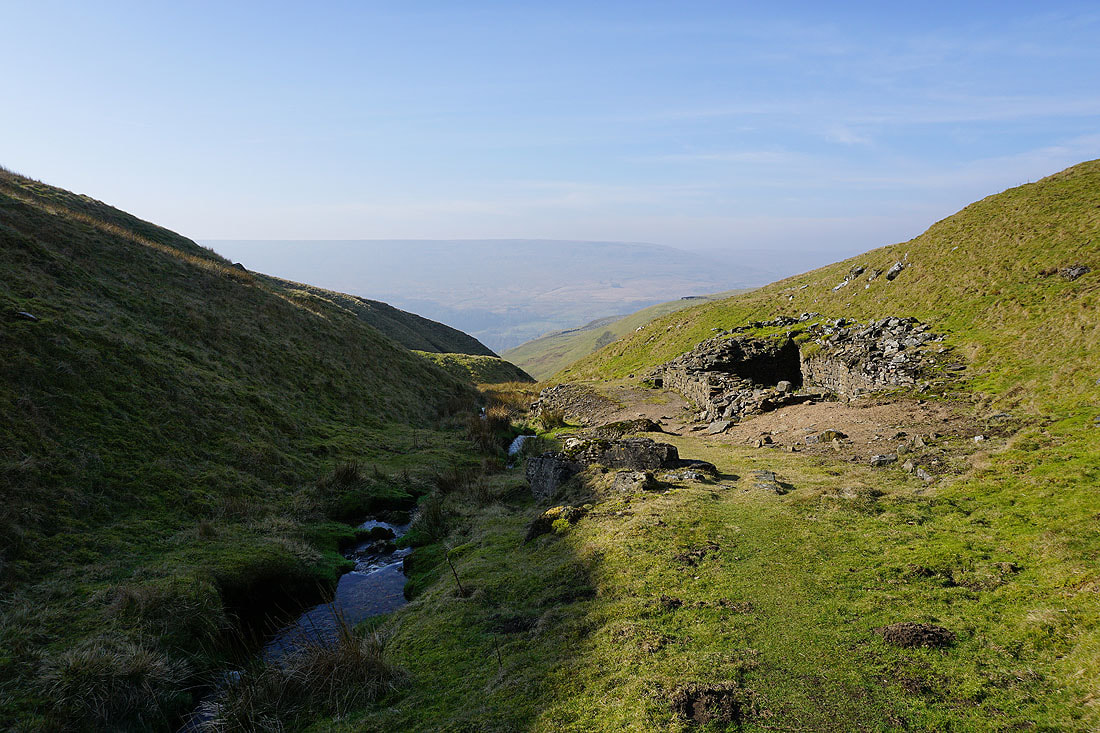
Looking down Buckden Gill from above the mine
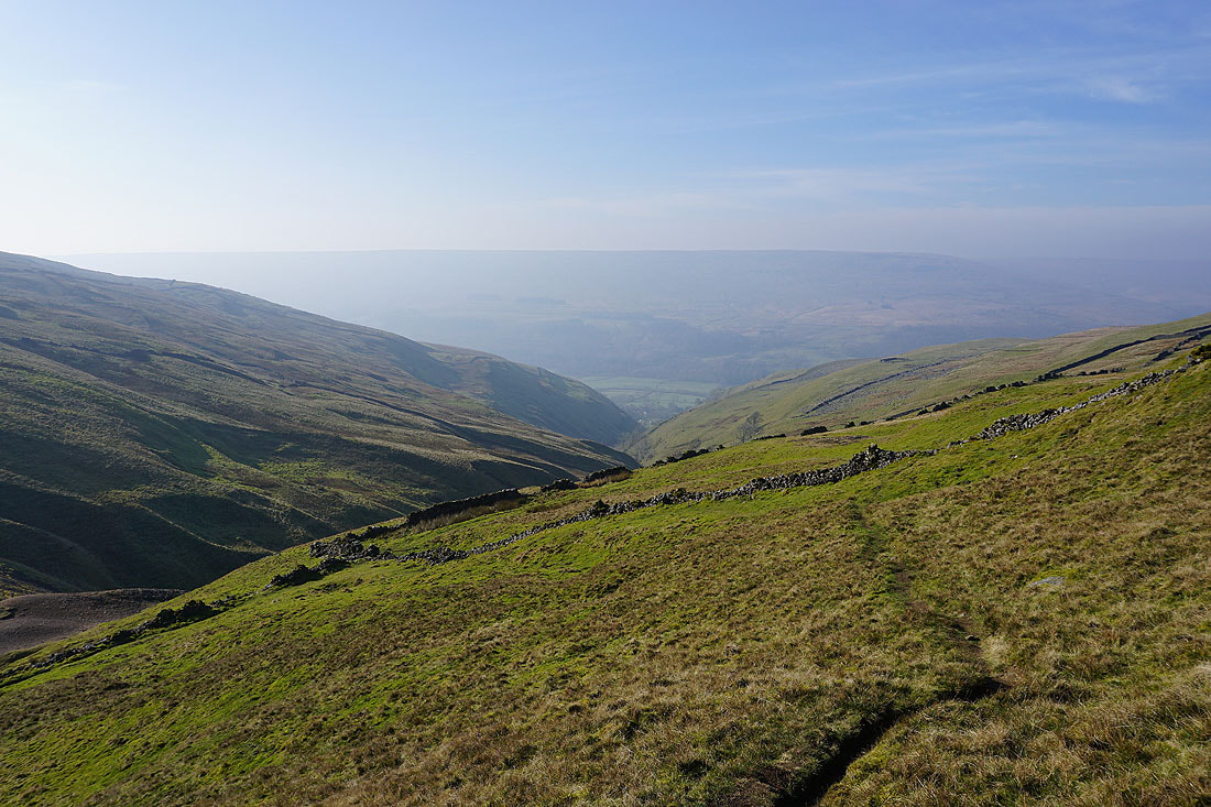
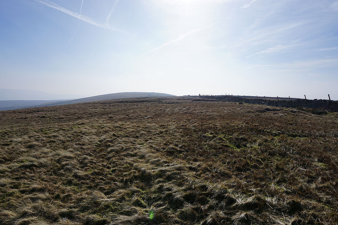
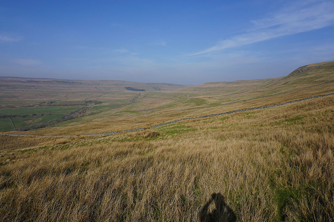
A very hazy view of Langstrothdale and Yockenthwaite Moor across Buckden Out Moor as I head for the summit
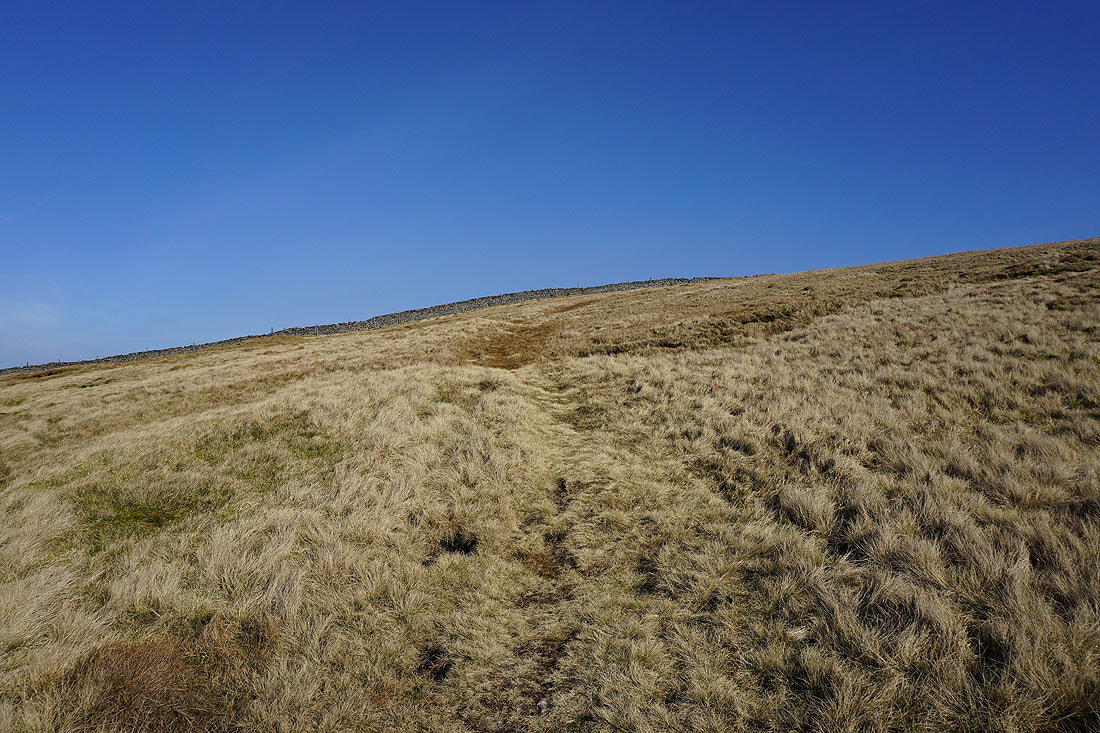
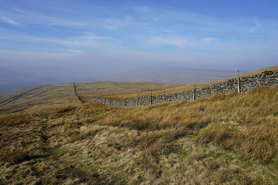
Glorious blue skies as I head uphill

The trig point is in sight..
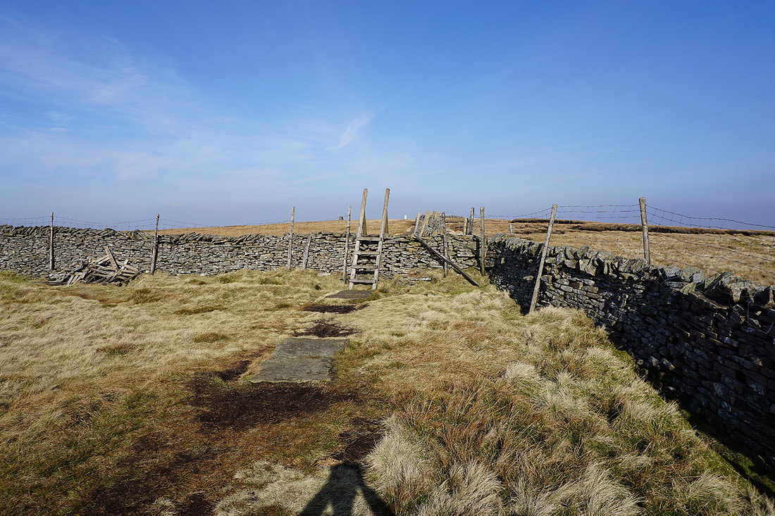
..and the ladder stile I'll need to cross to reach it
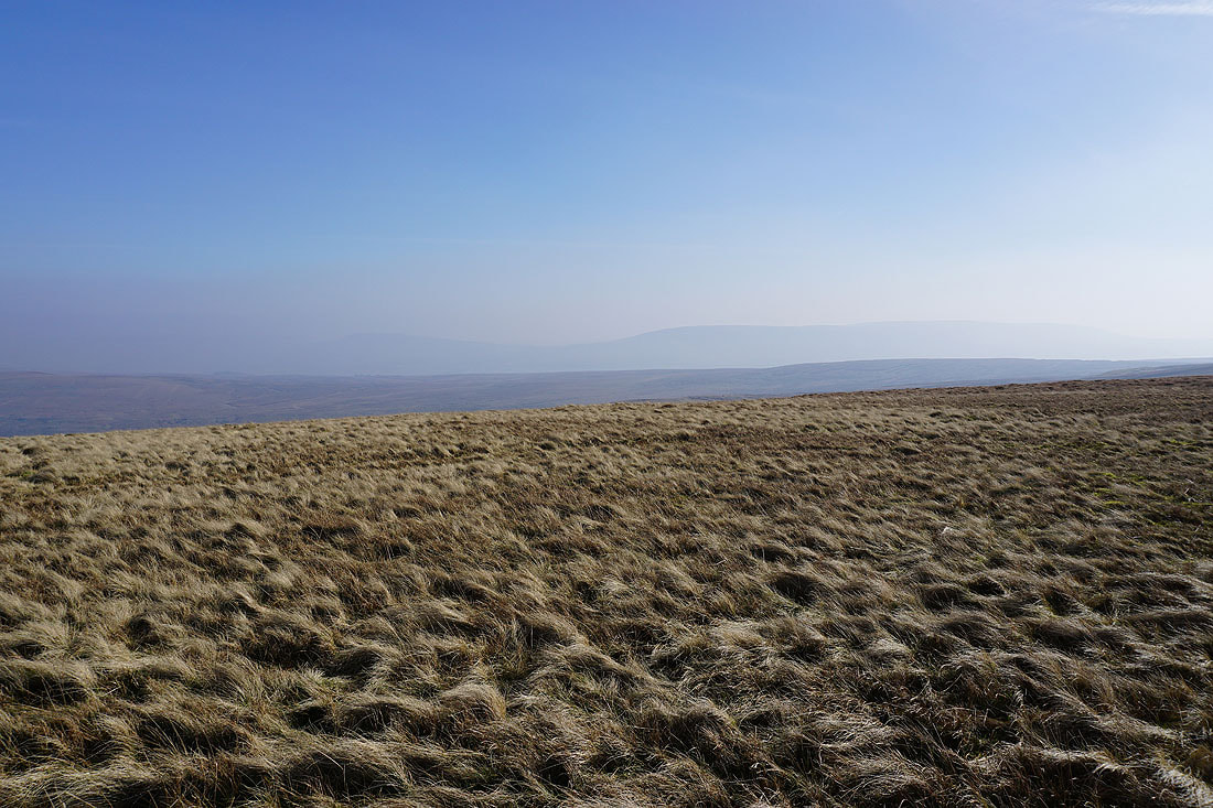
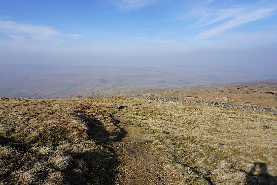
After a break for lunch some photos of the view, which is somewhat restricted by the thick haze. Looking south along the summit ridge.
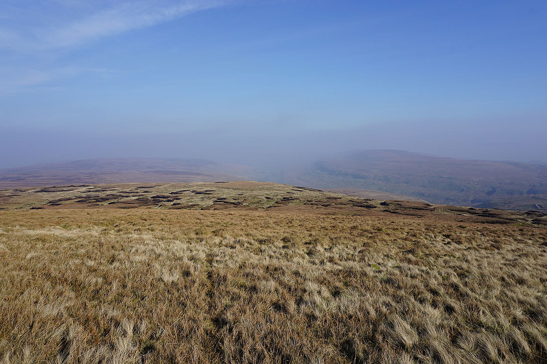
Little Whernside and Great Whernside just about visible
The valley of Walden and Brown Haw
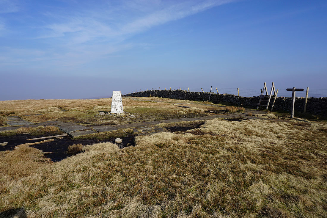
The trig point on the summit of Buckden Pike
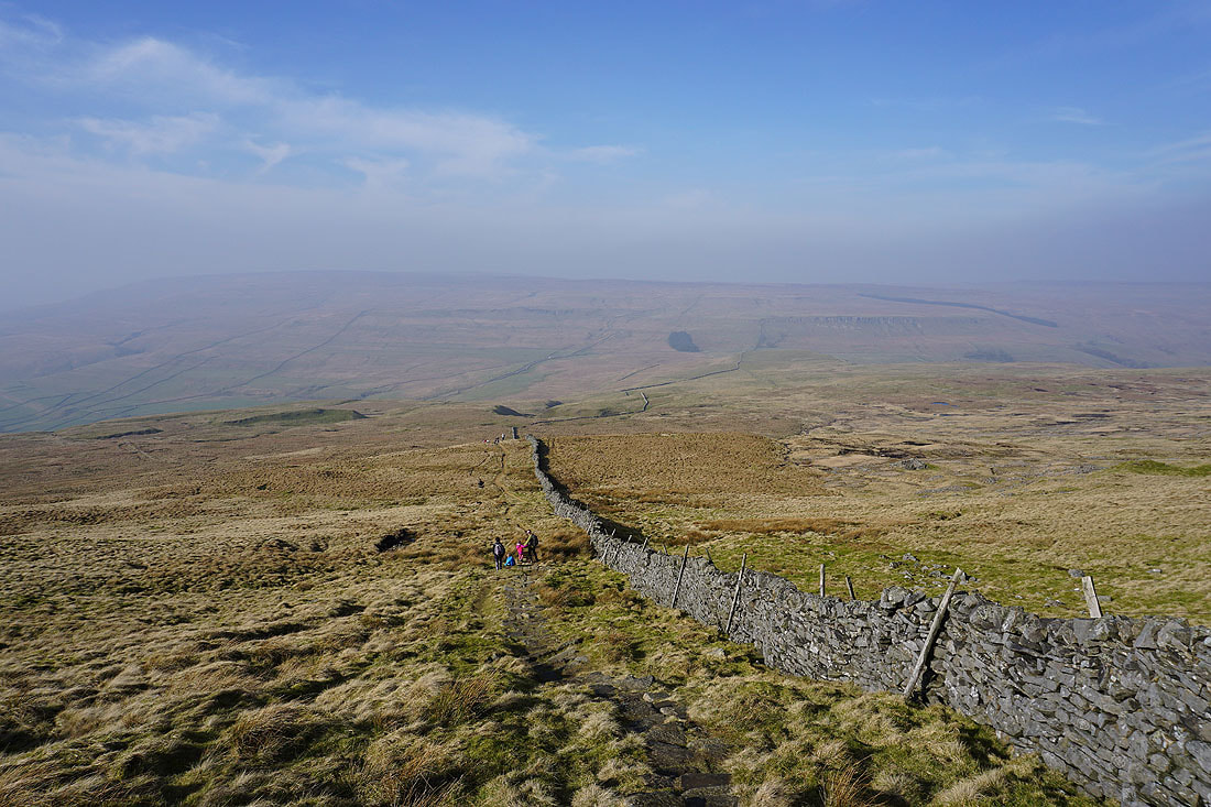
On the path northwest then west down from the summit..
The hamlet of Cray in the valley below
Kidstones Scar and the gap in the hills that carries the road across to Bishopdale
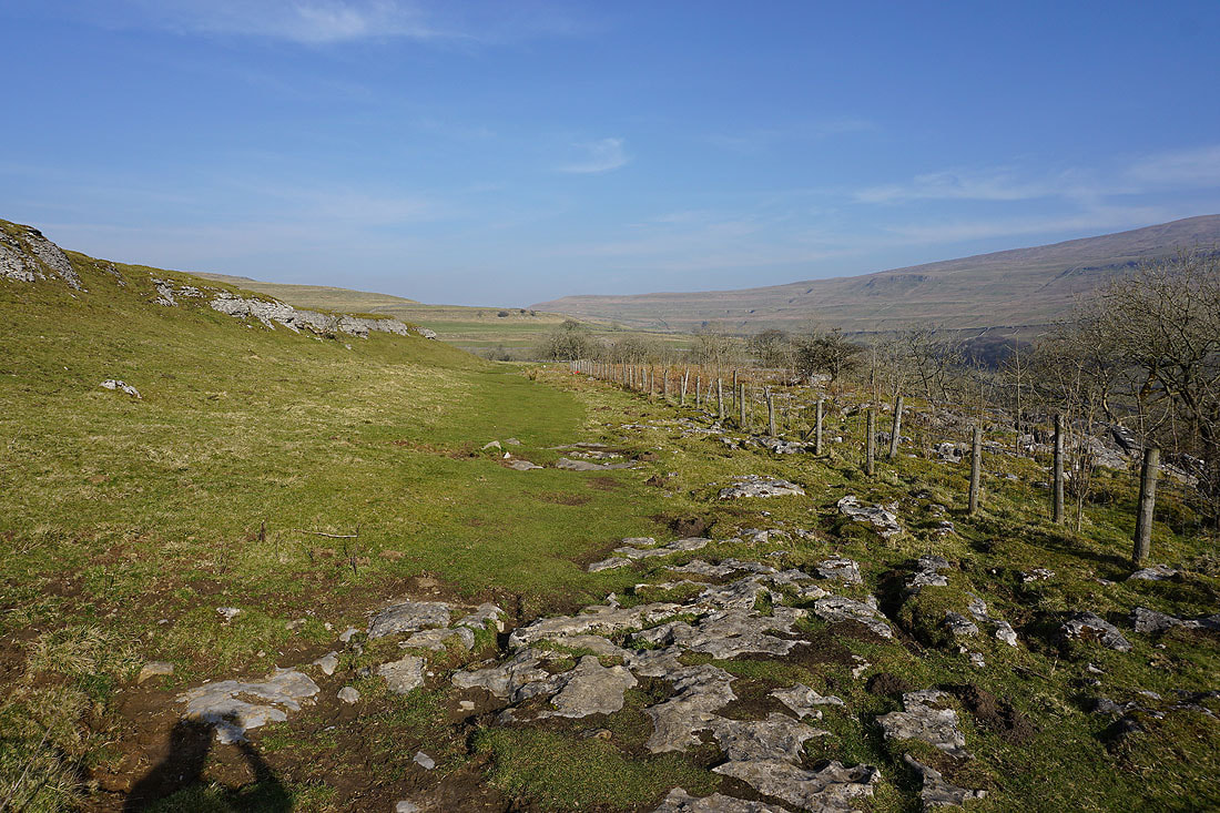
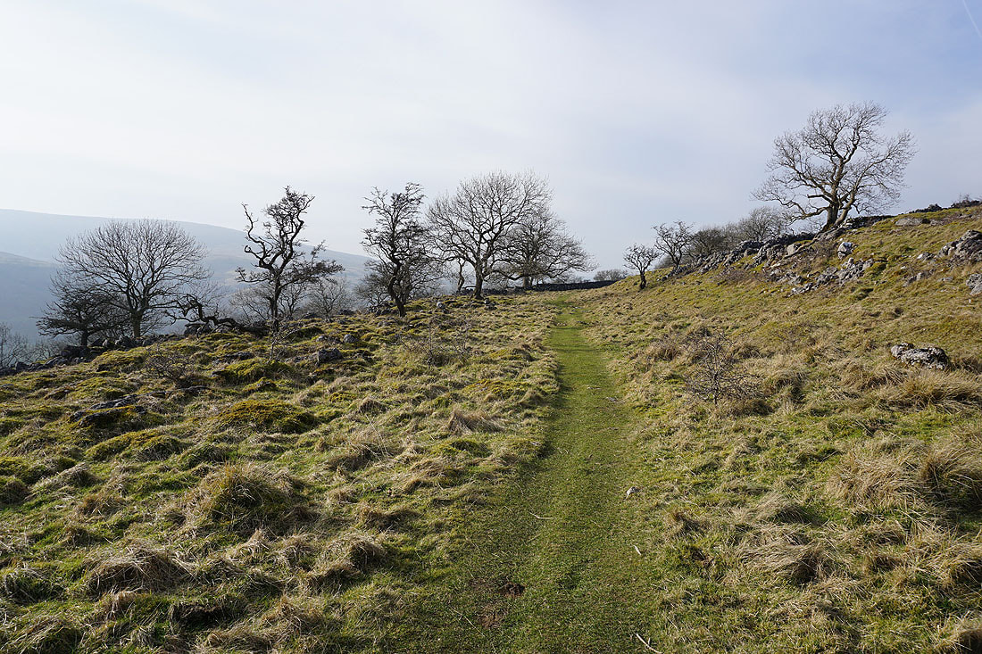
On Buckden Rake and the path to Cray
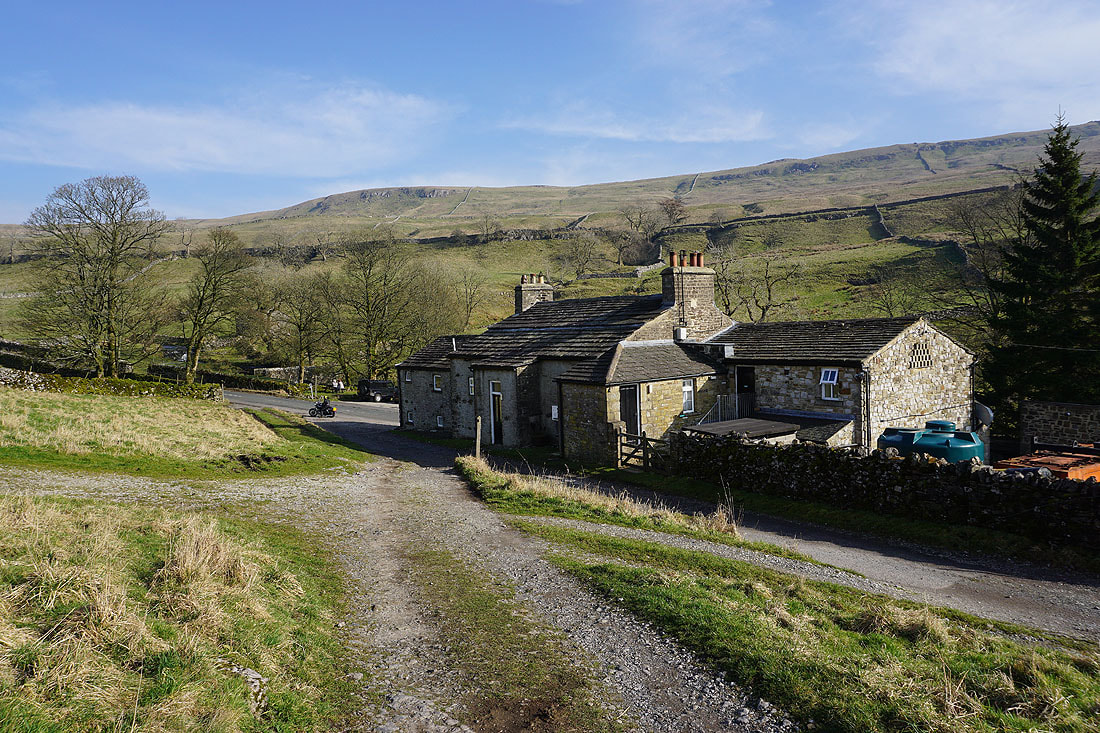
Behind the White Lion Inn in Cray. It doesn't look or feel like a day in the last week of February.
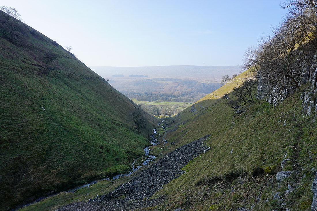
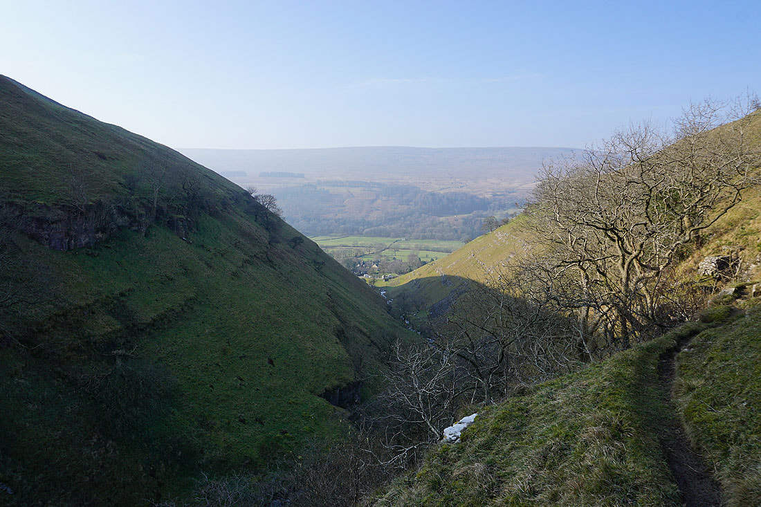
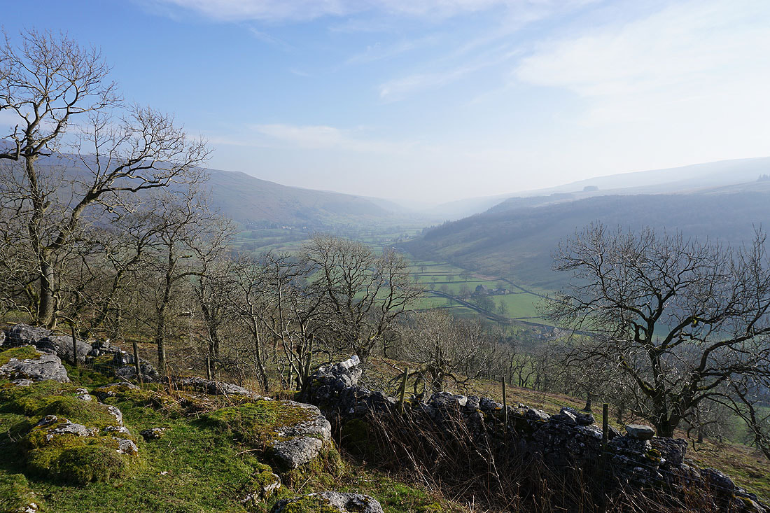
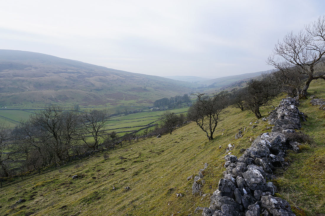
It's a beautiful afternoon as I follow the path above the valley from Cray to and around Crook Gill, and on to Scar House. So warm in the sun.....
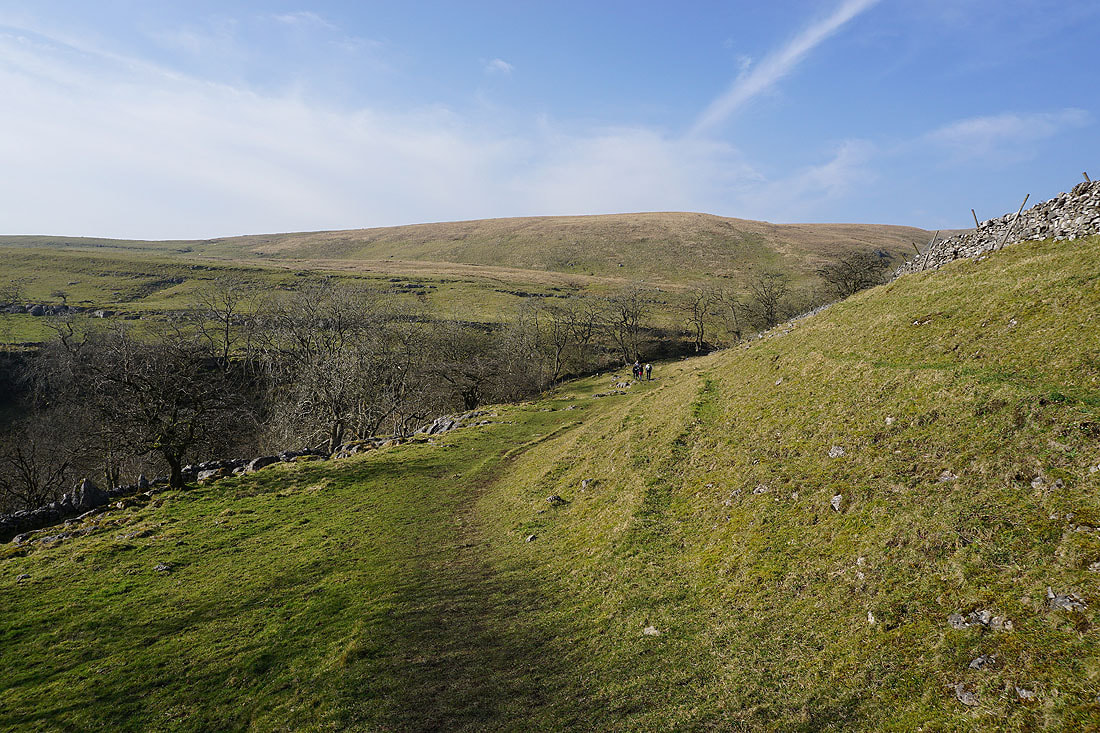
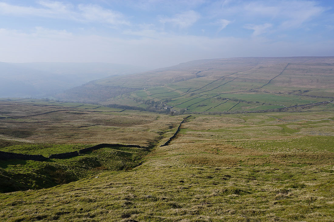
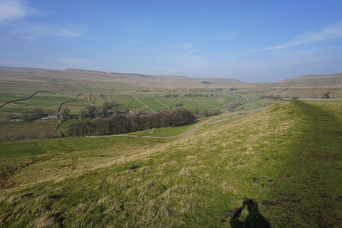
I pass a spot where I get a great view looking down Wharfedale..
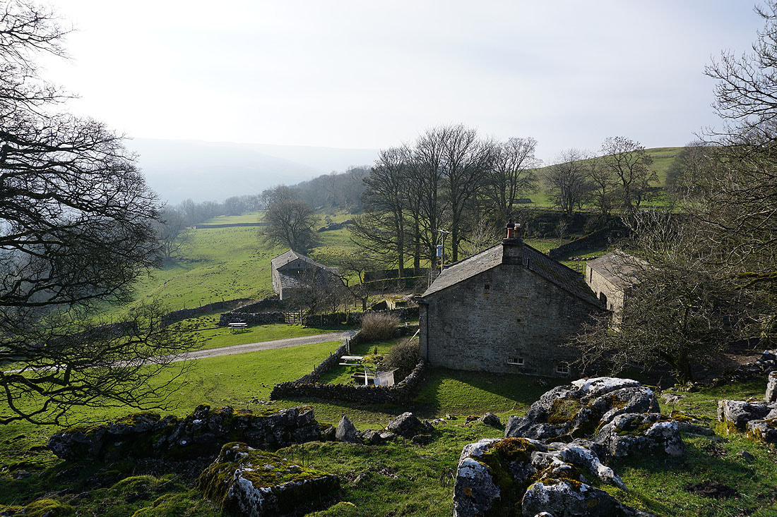
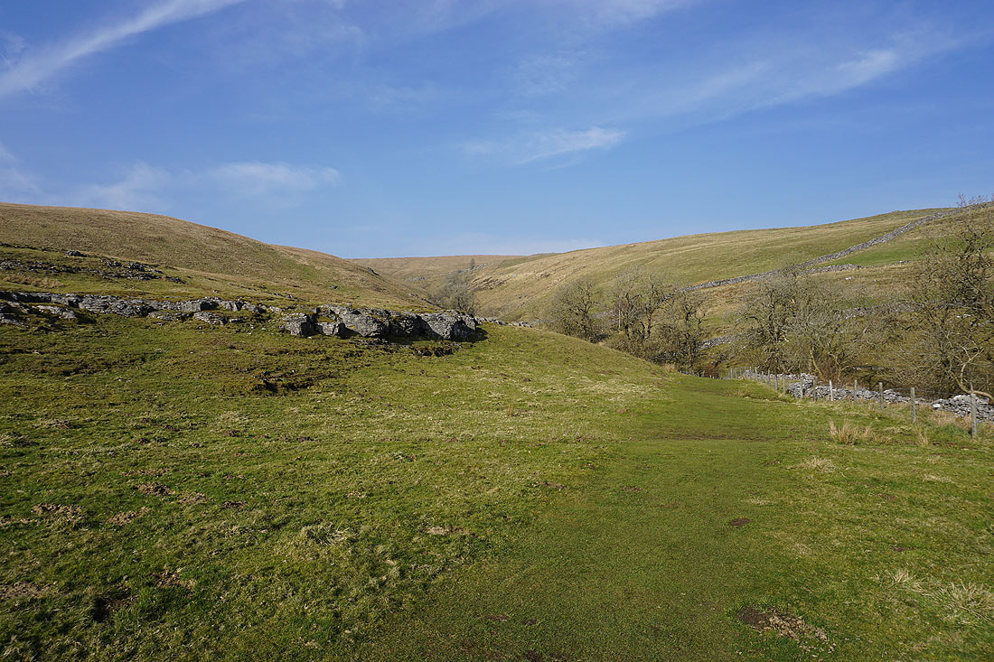
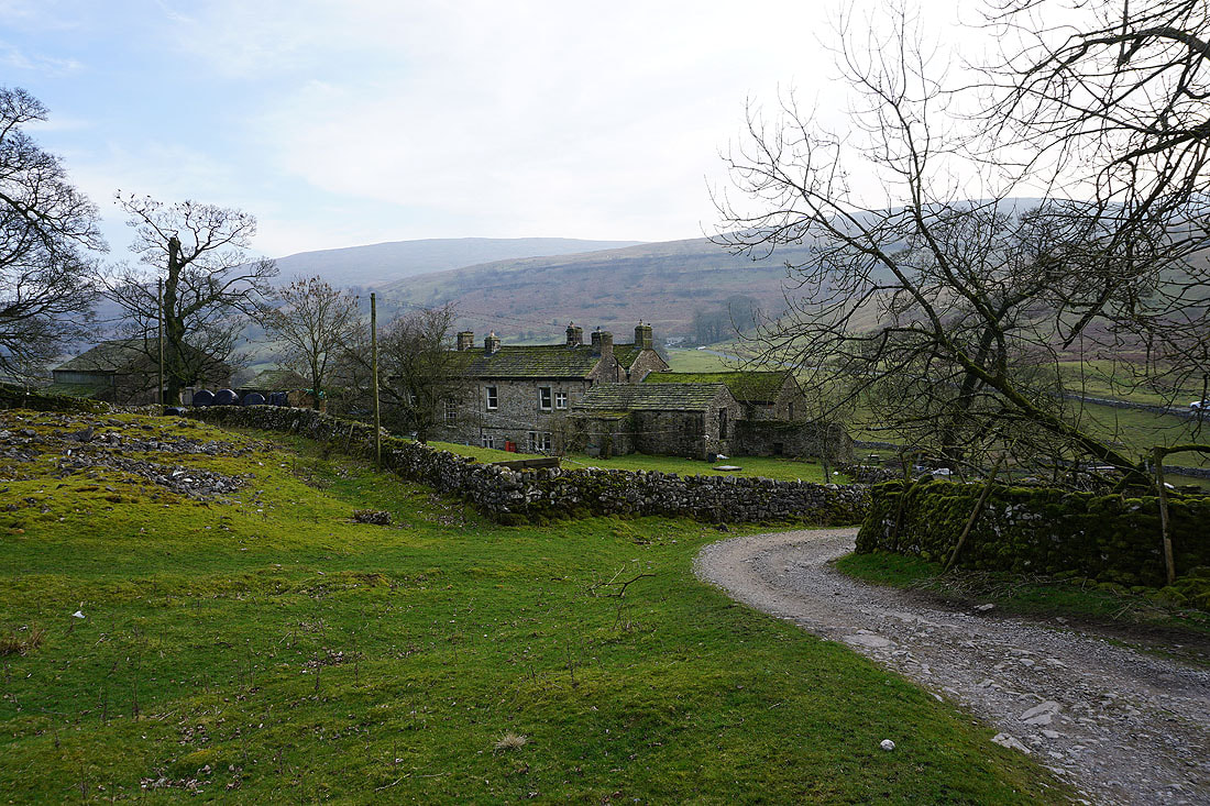
Past Scar House..
..and into Rais Wood
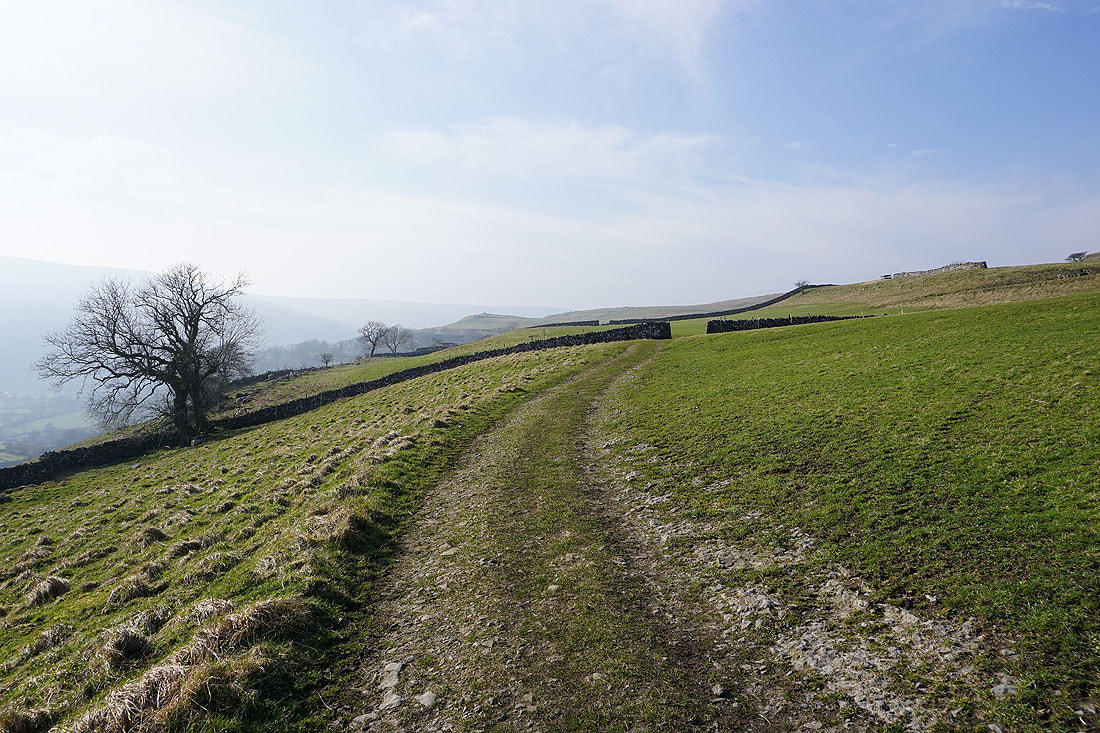
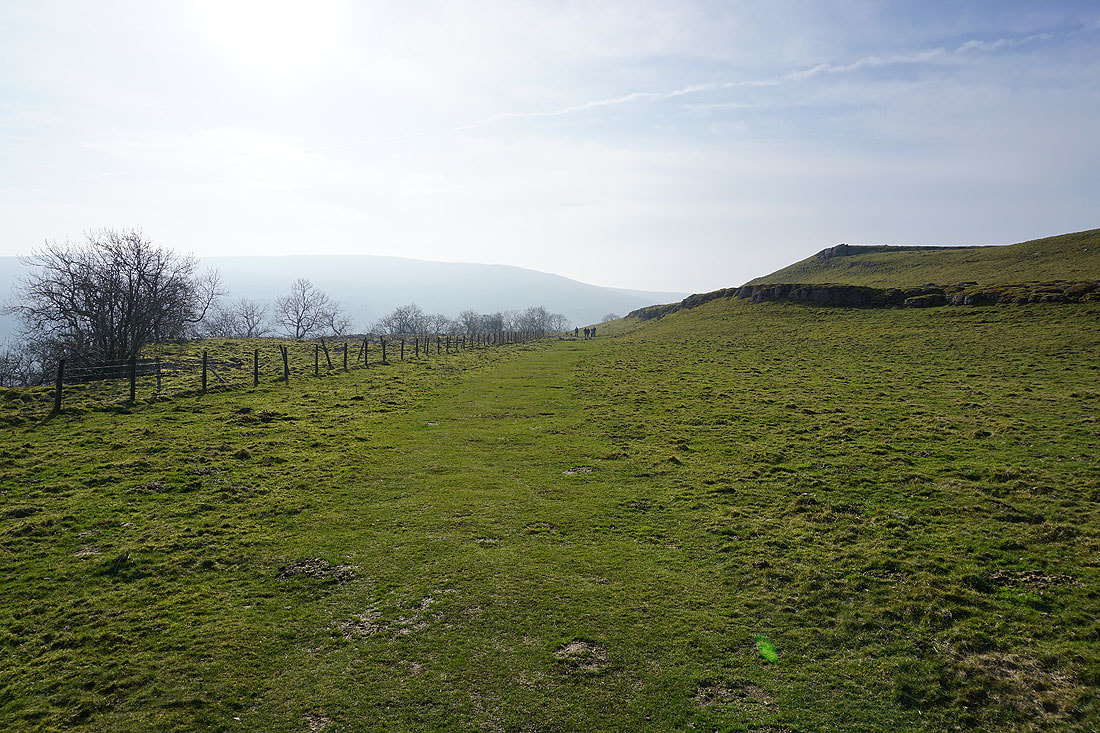
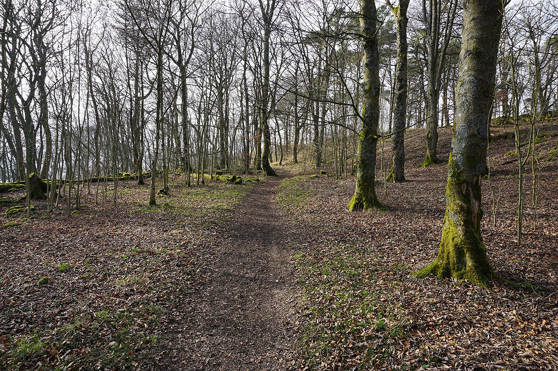
The path then continues along the hillside..
..and down to the hamlet of Yockenthwaite..
From Yockenthwaite I follow the Dales Way to Hubberholme..
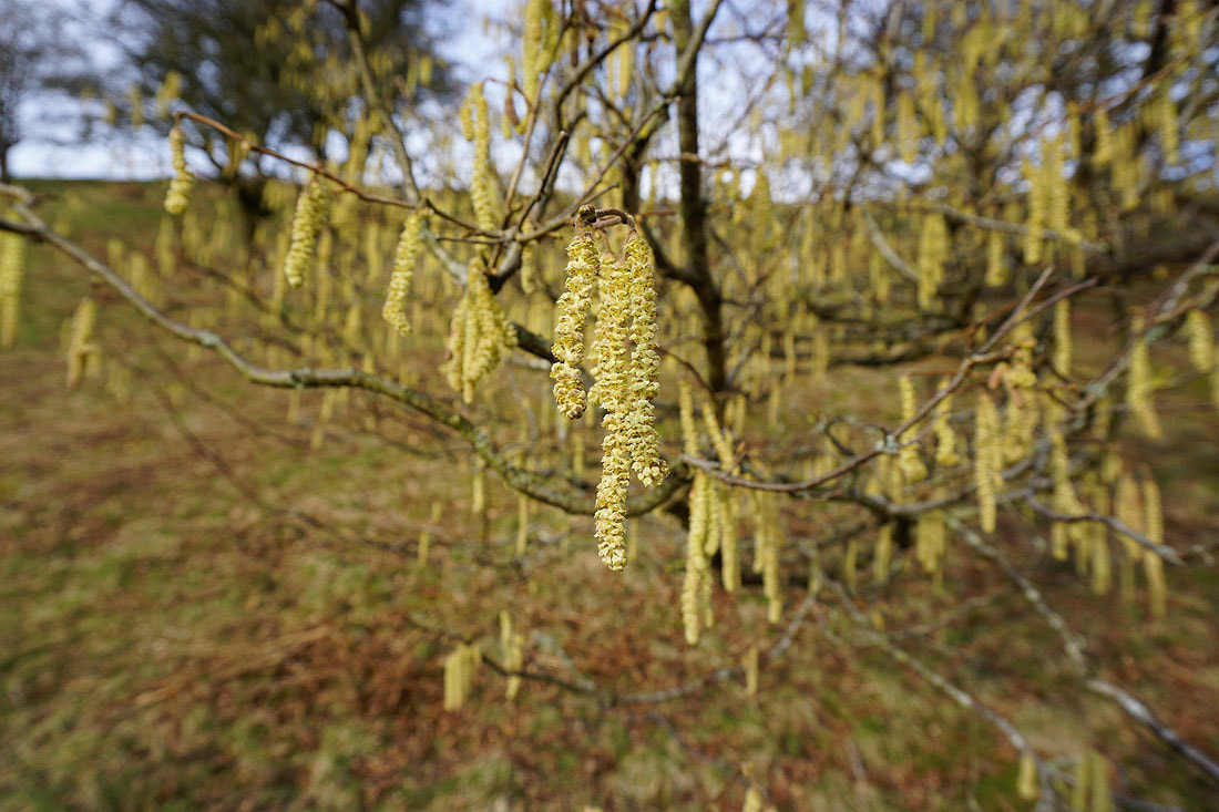
There are plenty of signs of spring, though it isn't spring yet
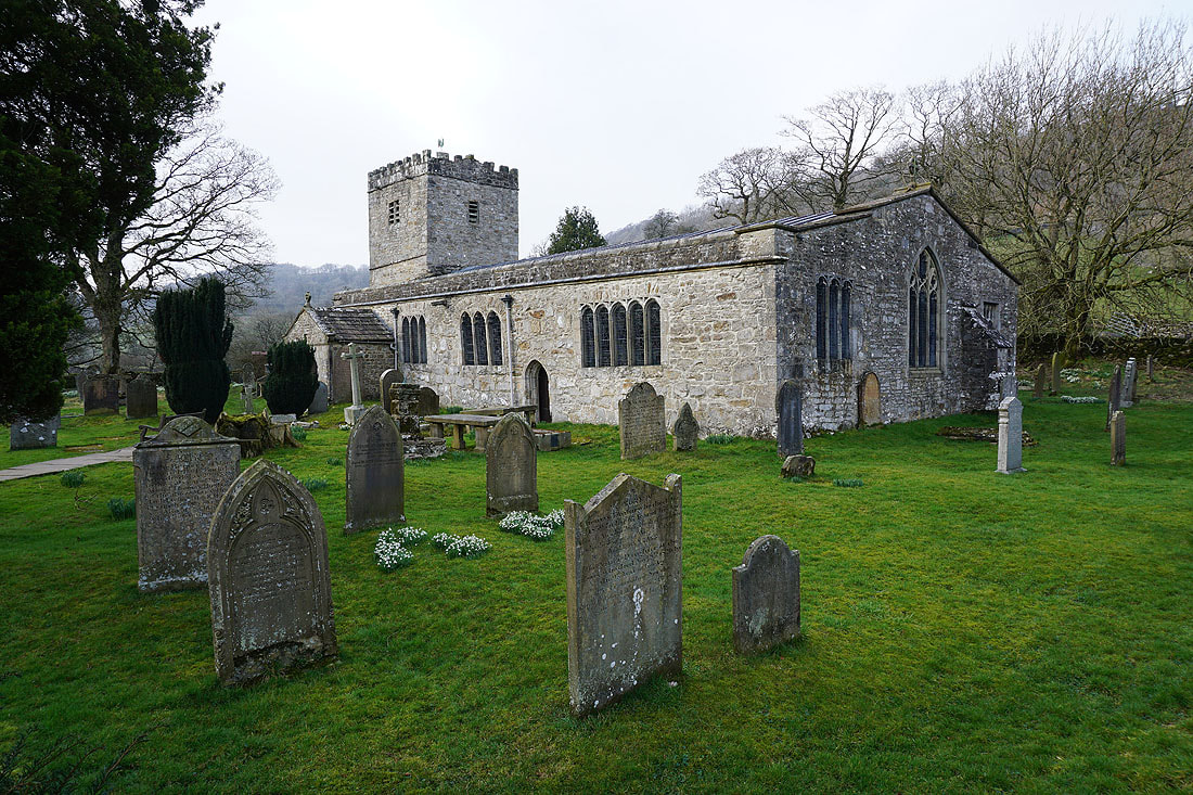
The church of St. Michael and All Angels in Hubberholme

The bridge over the River Wharfe in Hubberholme
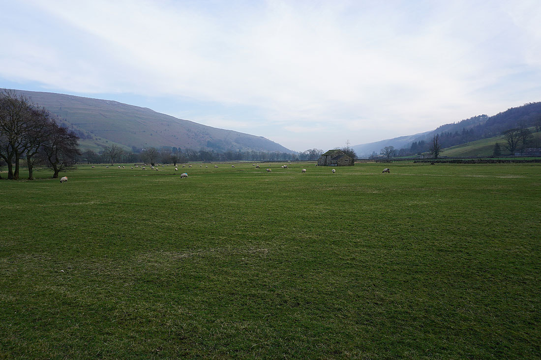
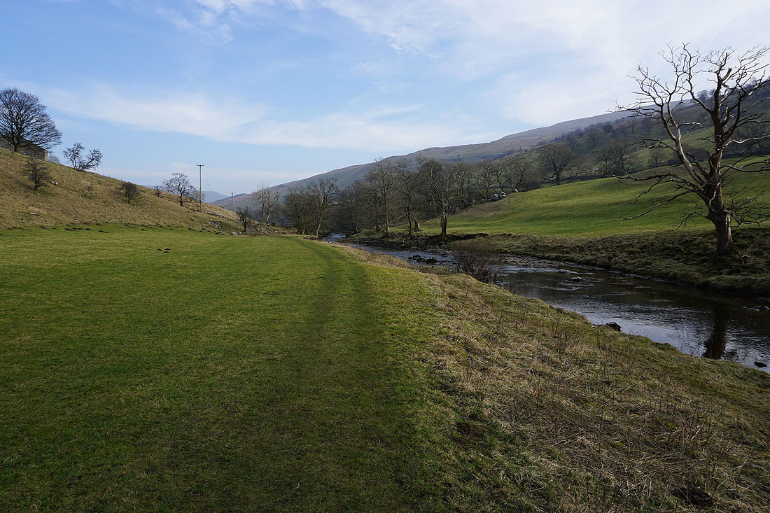
Views of Wharfedale as I follow the Dales Way back to Buckden..
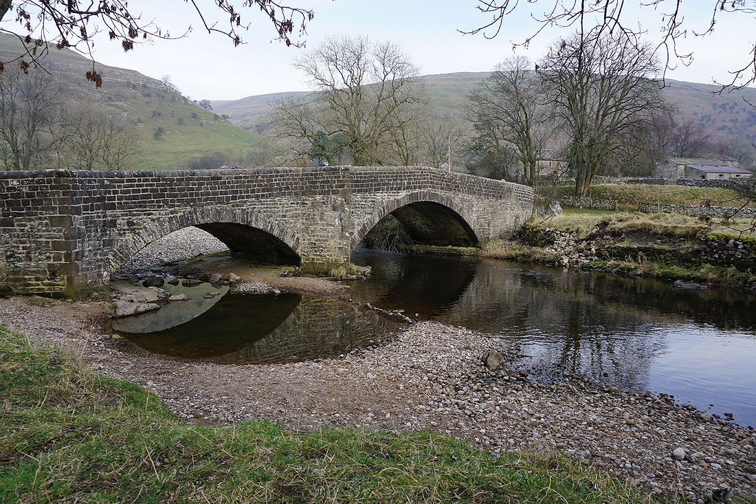
Across Buckden Bridge over the River Wharfe and there's just a short walk back up to Buckden