5th August 2018 - A Five Edges Walks
Walk Details
Distance walked: 10.3 miles
Total ascent: 1706 ft
OS map used: OL24 - The Peak District, White Peak area
Time taken: 6 hrs
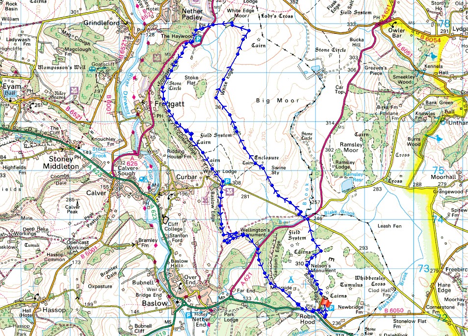
Route description: NT Birchen Edge car park-Birchen Edge-A621-road to Curbar Gap-White Edge-White Edge Moor-A625-The Grouse Inn-Hay Wood-A625-Froggatt Edge-Curbar Edge-Curbar Gap-Baslow Edge-Wellington's Monument-Jack Flat-A621-A619-B6050-NT Birchen Edge car park
I've walked these gritstone edges in the east of the Peak District a few times now but not in summer when the heather has been in bloom. I picked the perfect day for it. Another hot and sunny summer's day to go with the many others that I've enjoyed this summer. Birchen Edge was visited for the first time. Including it and starting from the car park beneath it didn't add much to the length of the route from when I started from Baslow, so in the future I'll go this way round. Out of all the walks that I've done during the past couple of months I think that this one shows just how dry it's been recently with it showing in the colours in the landscape. Thank goodness for the strong breeze on the edges, it was really hot by the middle of the afternoon.
From the NT car park beneath Birchen Edge on the B6050 I took the signposted path up onto Birchen Edge to reach Nelson's Monument and then the trig point. I then made my way north across what would normally be pretty boggy ground to the A621 at its junction with the road from Curbar Gap, where I crossed the road, briefly followed the road towards Curbar Gap and then made my way north along the path up White Edge to the trig point. I continued north along White Edge until I reached the path junction at a wall where I turned left and took the path signposted for the Grouse Inn. When the path reached the A625 I crossed the road, walked past the Grouse Inn and took the path down into Hay Wood, which is part of the National Trust's Longshaw Estate. I then took the path south through Hay Wood to the A625, crossed the road and took the track south onto Froggatt Edge. I then made my way south along Froggatt Edge and then Curbar Edge to Curbar Gap. I made use of the refreshment van in the car park at Curbar Gap. Ice cream and bottle of coke had I continued south along Baslow Edge to reach Wellington's Monument. I briefly followed the path towards Baslow before taking one east then south through the woodland on Jack Flat to the A621, where after crossing the road I followed the path southeast across the hillside beneath Gardom's Edge to the A619. I then was left with a short walk by the A619 and B6050 back to the car park.
Total ascent: 1706 ft
OS map used: OL24 - The Peak District, White Peak area
Time taken: 6 hrs
Route description: NT Birchen Edge car park-Birchen Edge-A621-road to Curbar Gap-White Edge-White Edge Moor-A625-The Grouse Inn-Hay Wood-A625-Froggatt Edge-Curbar Edge-Curbar Gap-Baslow Edge-Wellington's Monument-Jack Flat-A621-A619-B6050-NT Birchen Edge car park
I've walked these gritstone edges in the east of the Peak District a few times now but not in summer when the heather has been in bloom. I picked the perfect day for it. Another hot and sunny summer's day to go with the many others that I've enjoyed this summer. Birchen Edge was visited for the first time. Including it and starting from the car park beneath it didn't add much to the length of the route from when I started from Baslow, so in the future I'll go this way round. Out of all the walks that I've done during the past couple of months I think that this one shows just how dry it's been recently with it showing in the colours in the landscape. Thank goodness for the strong breeze on the edges, it was really hot by the middle of the afternoon.
From the NT car park beneath Birchen Edge on the B6050 I took the signposted path up onto Birchen Edge to reach Nelson's Monument and then the trig point. I then made my way north across what would normally be pretty boggy ground to the A621 at its junction with the road from Curbar Gap, where I crossed the road, briefly followed the road towards Curbar Gap and then made my way north along the path up White Edge to the trig point. I continued north along White Edge until I reached the path junction at a wall where I turned left and took the path signposted for the Grouse Inn. When the path reached the A625 I crossed the road, walked past the Grouse Inn and took the path down into Hay Wood, which is part of the National Trust's Longshaw Estate. I then took the path south through Hay Wood to the A625, crossed the road and took the track south onto Froggatt Edge. I then made my way south along Froggatt Edge and then Curbar Edge to Curbar Gap. I made use of the refreshment van in the car park at Curbar Gap. Ice cream and bottle of coke had I continued south along Baslow Edge to reach Wellington's Monument. I briefly followed the path towards Baslow before taking one east then south through the woodland on Jack Flat to the A621, where after crossing the road I followed the path southeast across the hillside beneath Gardom's Edge to the A619. I then was left with a short walk by the A619 and B6050 back to the car park.
Route map
© Crown copyright. All rights reserved. License number PU 100034184.
Looking across the Derwent Valley with Longstone Moor in the distance on the right as I head up onto Birchen Edge
The crags of Birchen Edge with Nelson's Monument
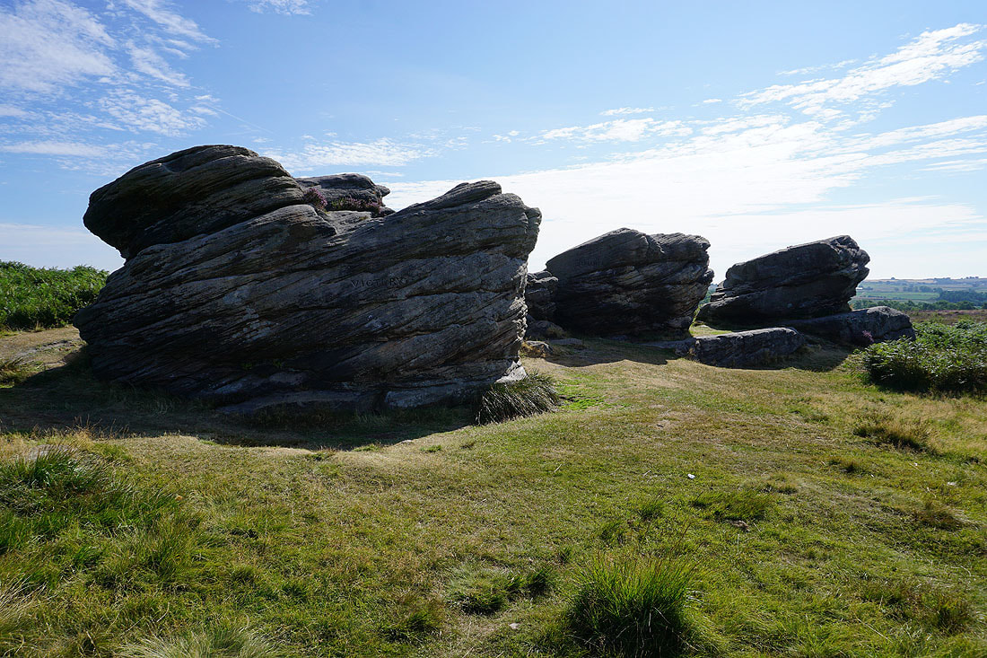
Nelson's three ships. Victory, Defiance and Royal Sovereign.
Looking south along Birchen Edge to East Moor
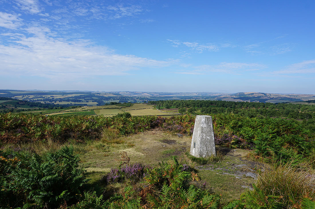
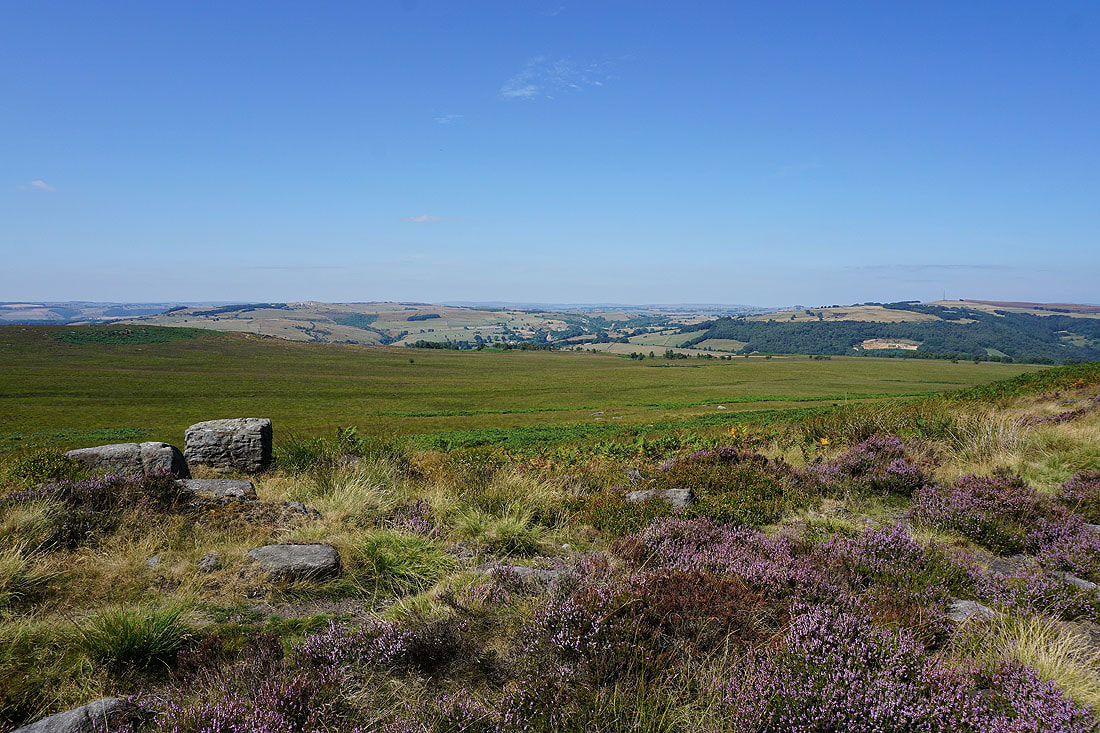
Looking across the Derwent Valley from the trig point on Birchen Edge
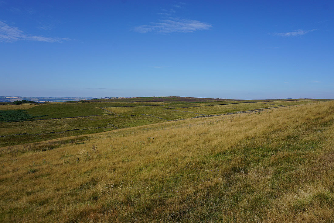
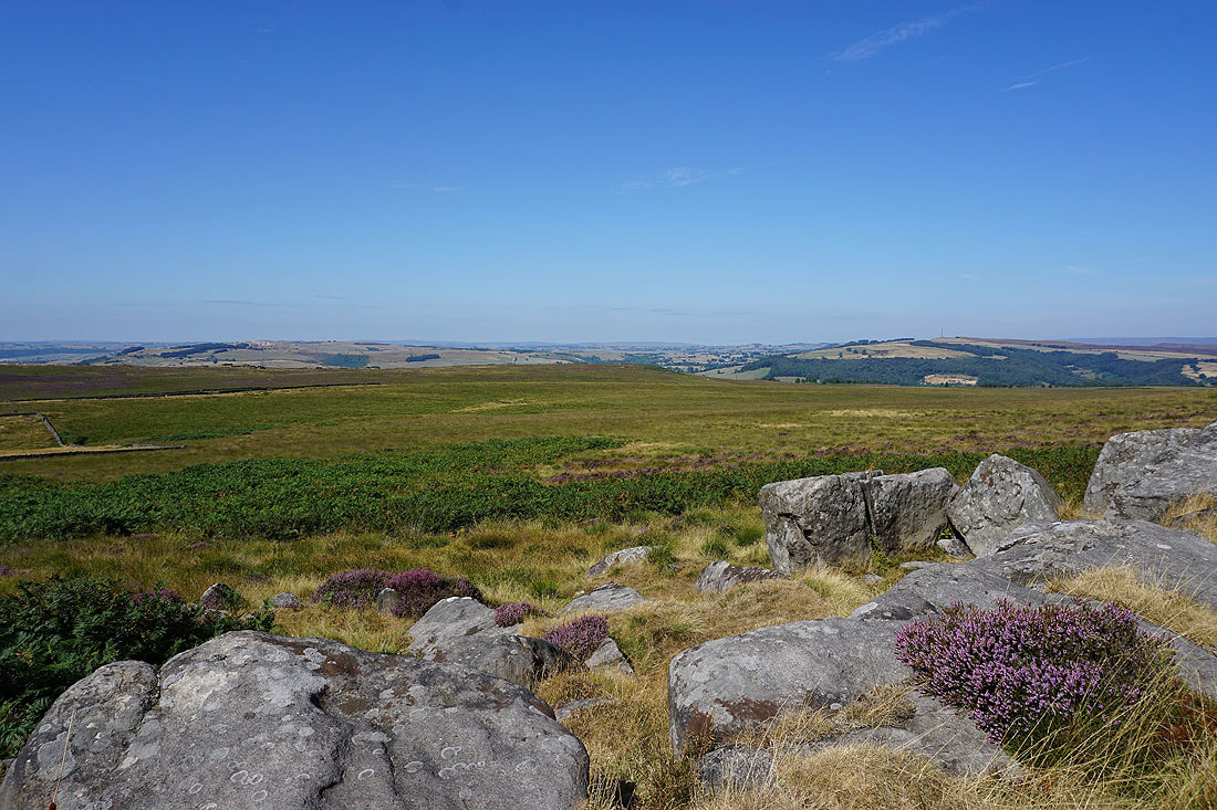
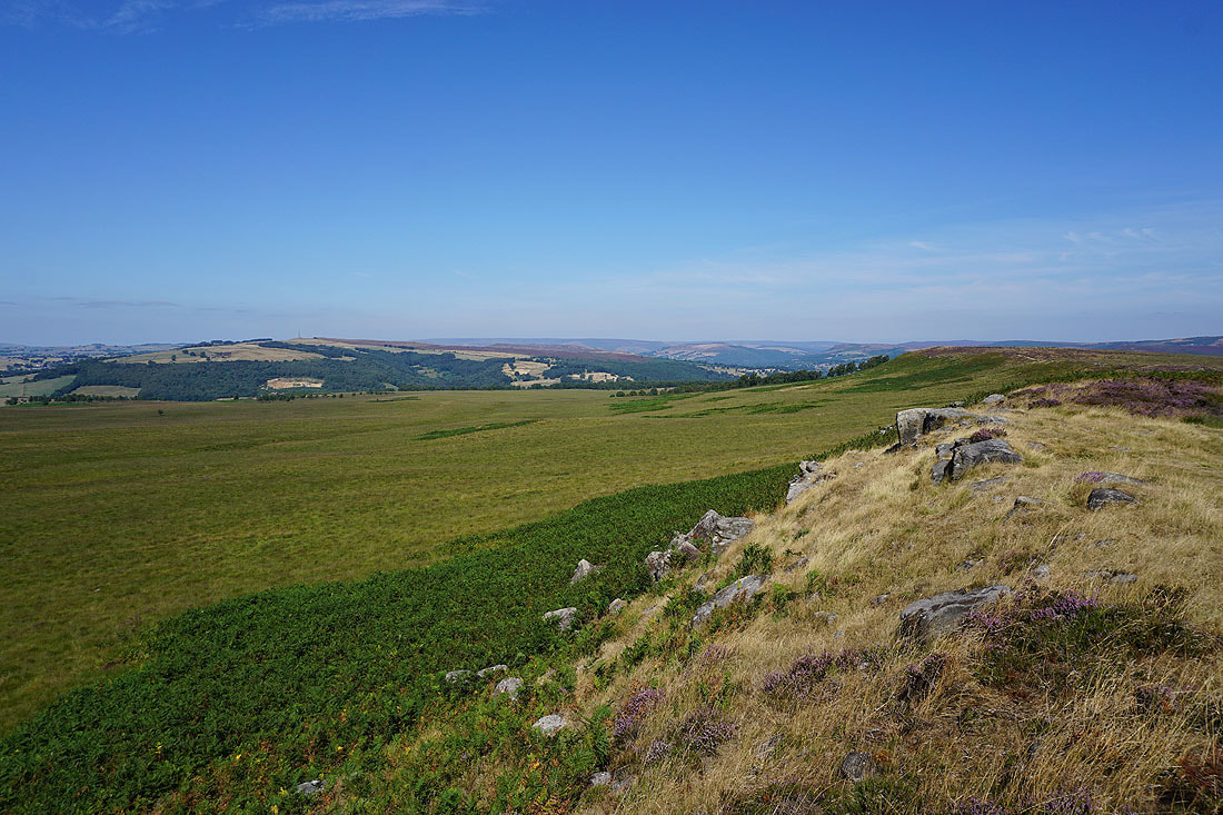
Longstone Moor, Eaglestone Flat and Big Moor
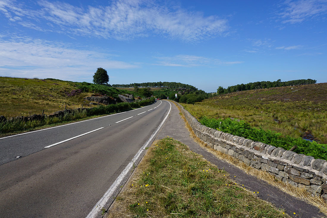
Across the A621 Sheffield Road
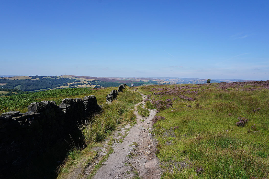
On the path to White Edge
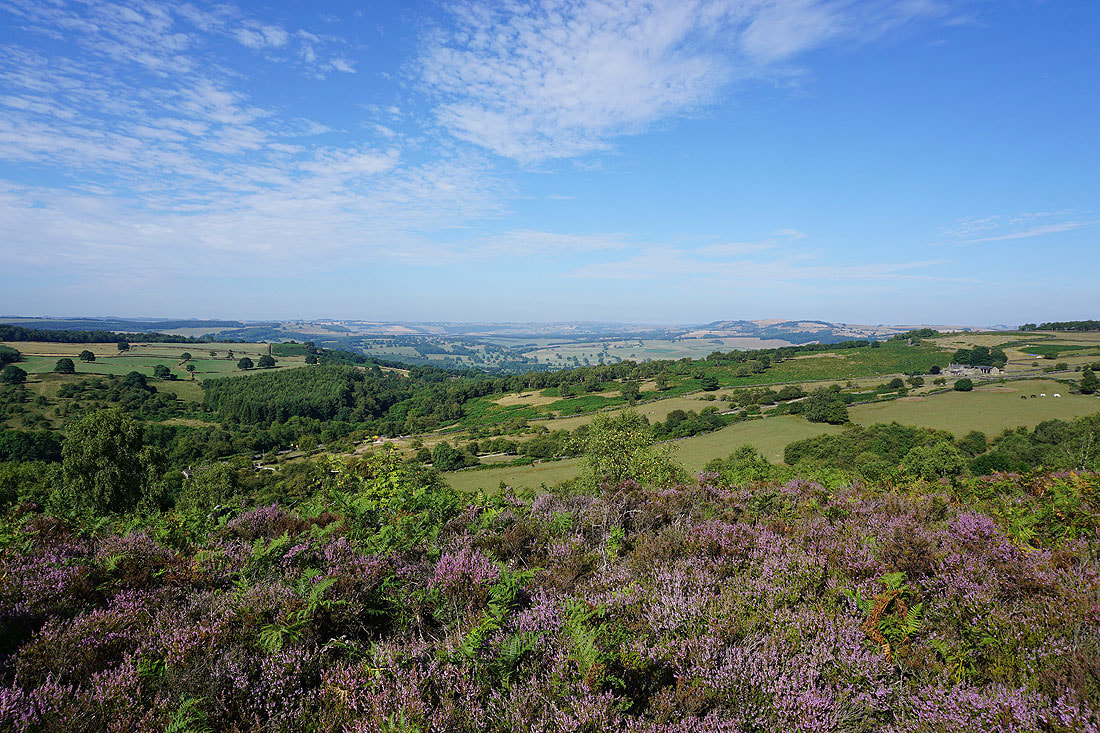
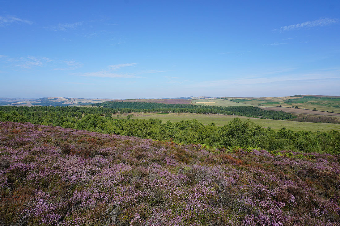
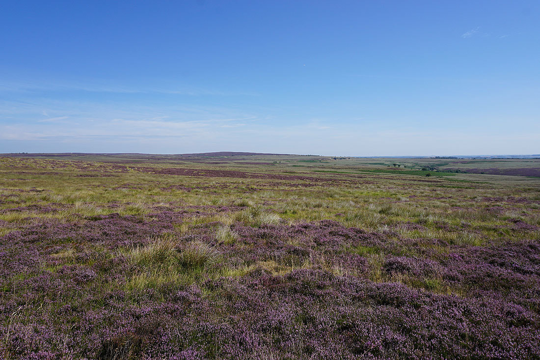
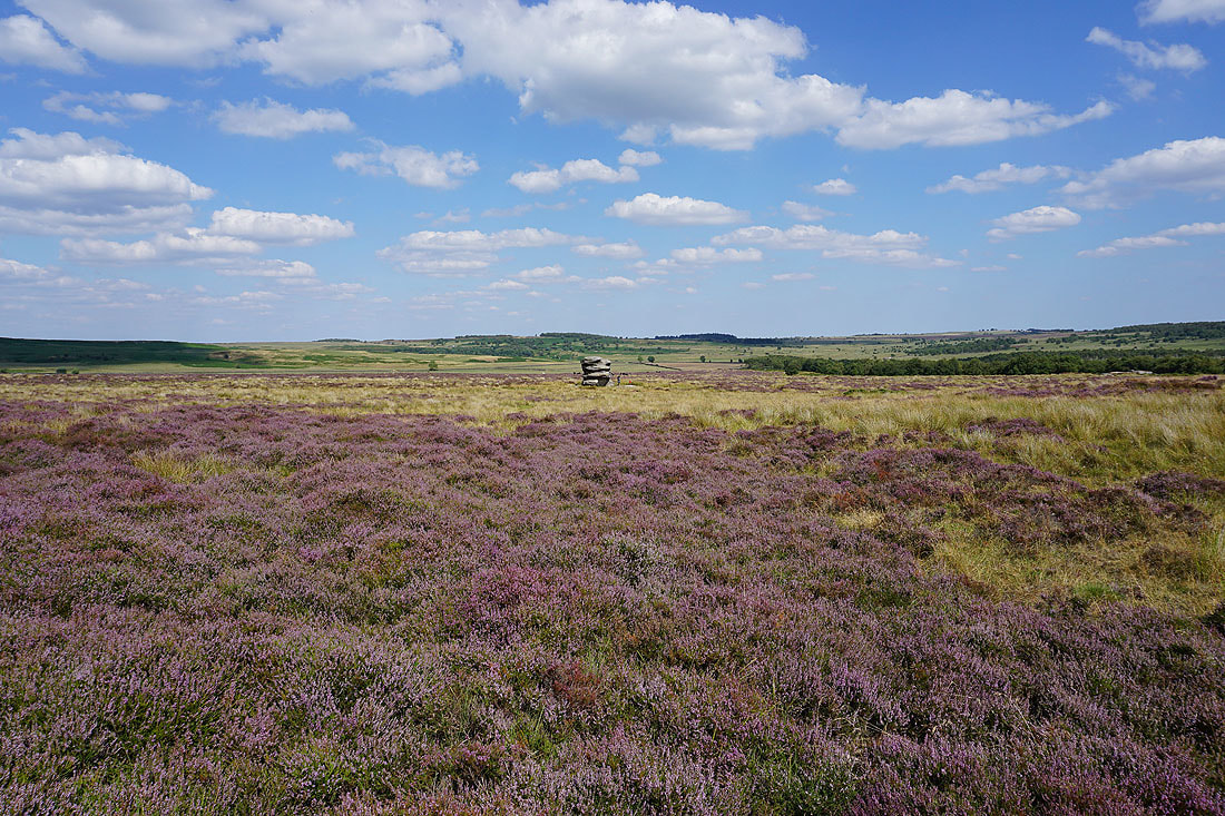
Looking down the Derwent Valley with the purple of the heather on Eaglestone Flat on the right
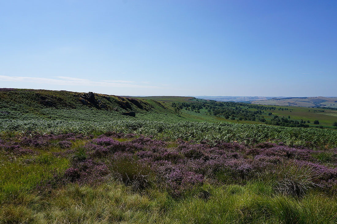
Stoke Flat and a hidden Curbar Edge
Flask Edge and Big Moor
Longstone Moor and Sir William Hill to the west
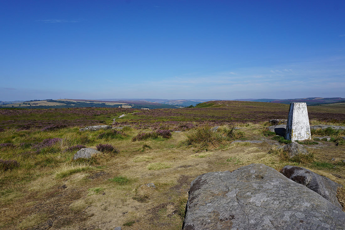
Looking north up the Derwent Valley from the trig point on White Edge..
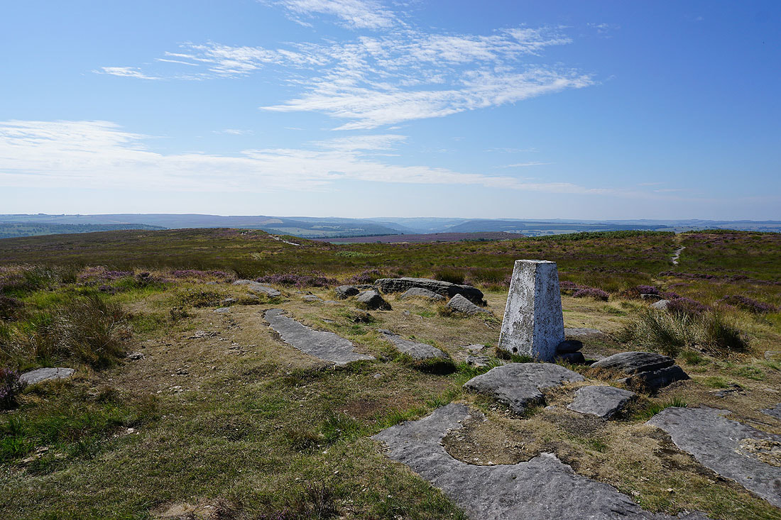
..and south
Sir William Hill, Kinder Scout way in the distance, Win Hill and Bamford Edge
Longstone Moor, Middleton Dale and Sir William Hill
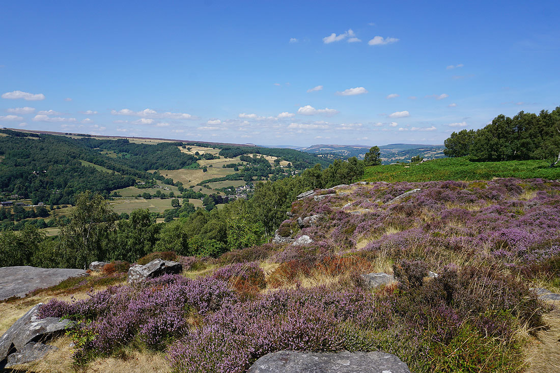
There's a fantastic view north across the Derwent Valley made even better with the heather in bloom..
Looking back south along White Edge
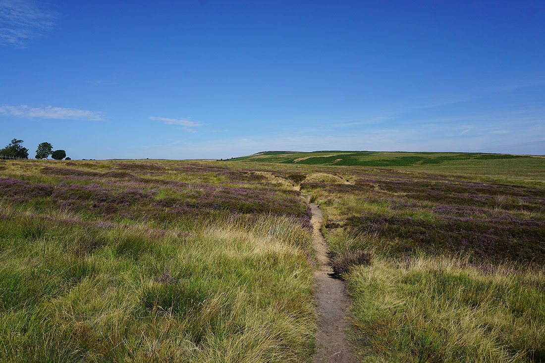
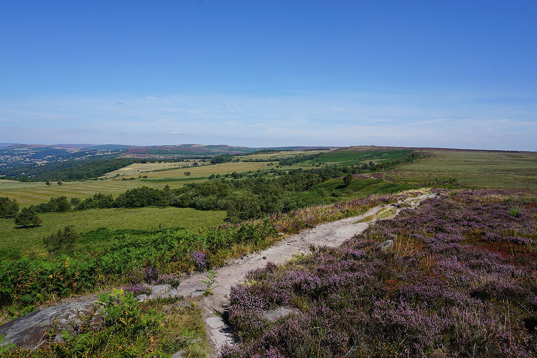
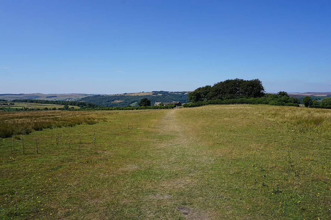
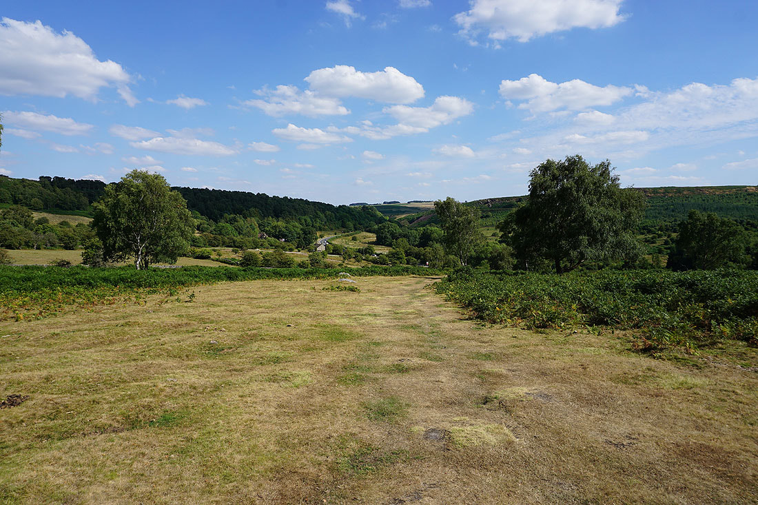
I leave White Edge Moor on the path to the A625
A last look south along White Edge
Approaching the Grouse Inn and the A625
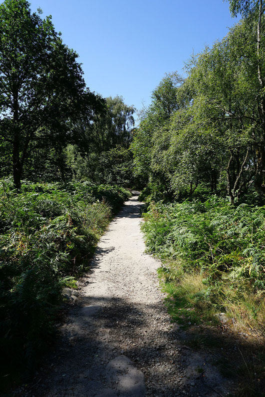
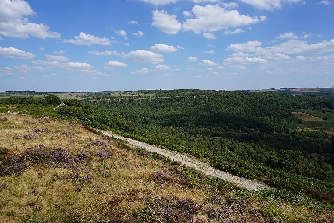
After walking through Hay Wood in the National Trust's Longshaw Estate it was back across the A625 and onto the path through the woods on the top of Froggatt Edge
Breaks in the woodland on Froggatt Edge give me views of Grindleford and up the Derwent Valley to Bamford Edge and Stanage Edge..
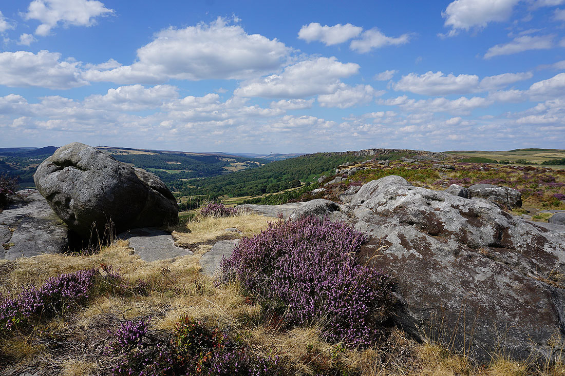
Coombs Dale and Longstone Moor
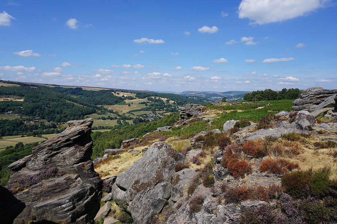
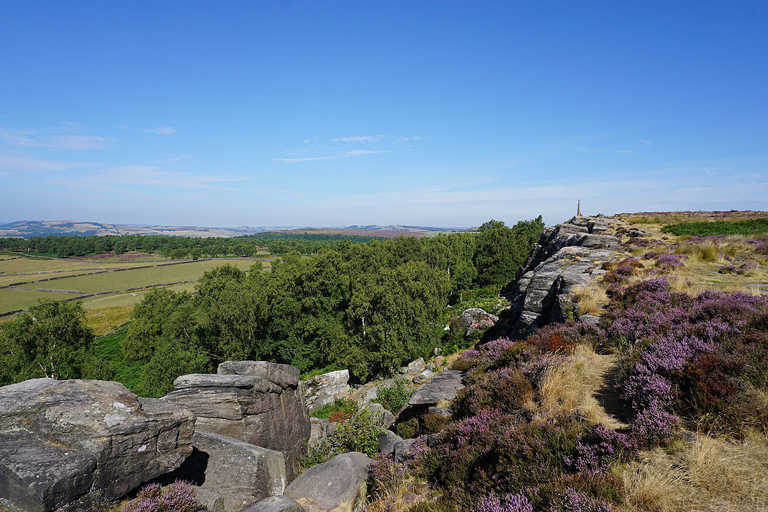
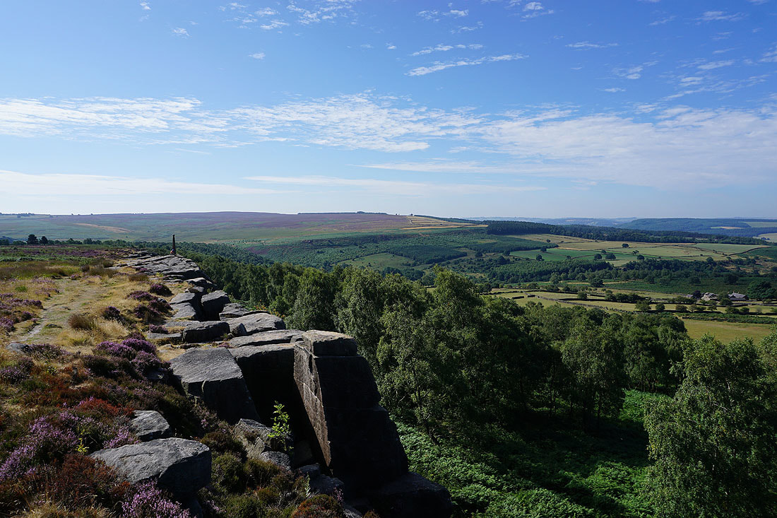
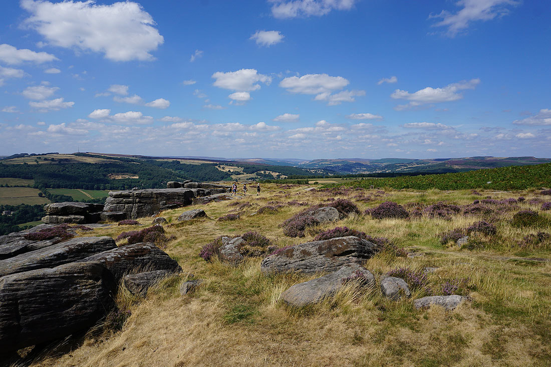
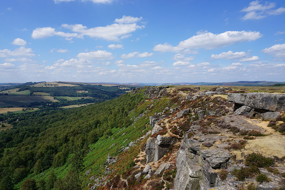
Onto the rocky top of Froggatt Edge
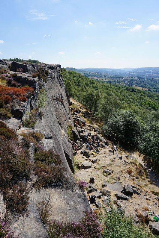
Where I can view climbers getting ready
and look south down the Derwent Valley
Looking north along Froggatt Edge
Longstone Moor on the other side of the Derwent Valley
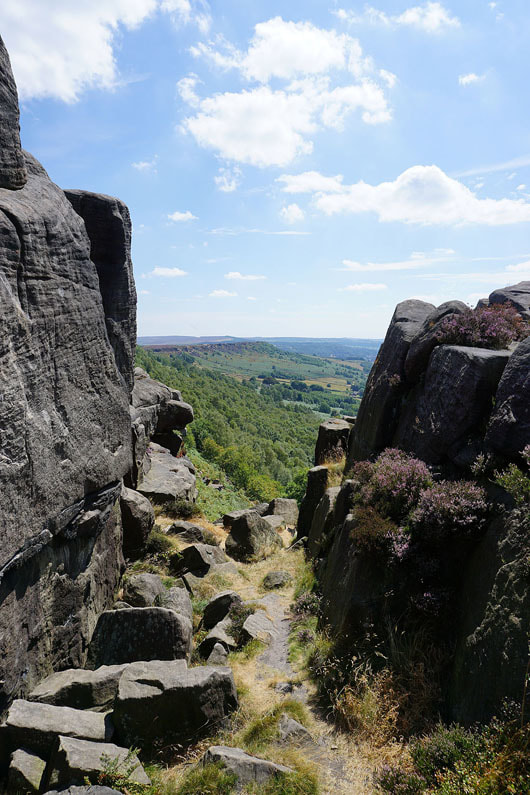
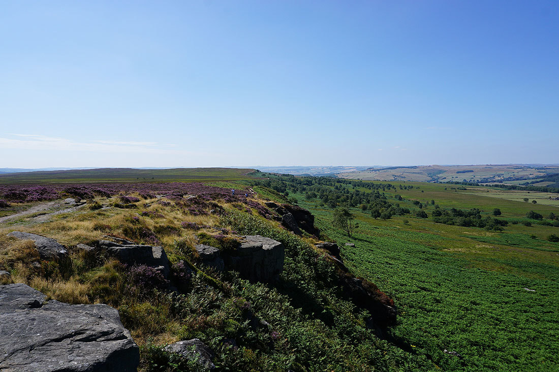
A gap in the edge and this is where Froggatt Edge becomes Curbar Edge
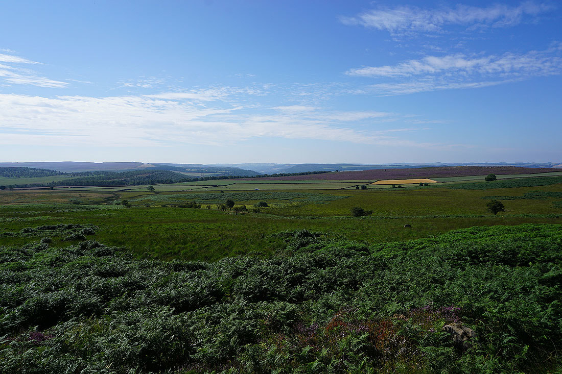
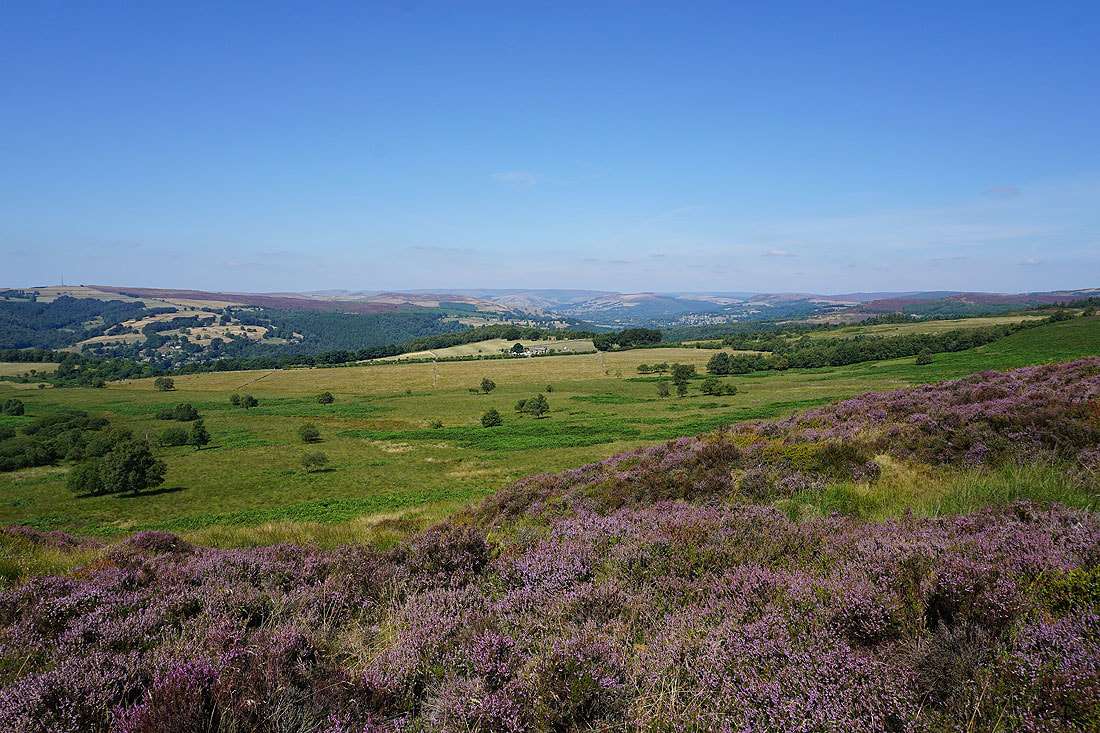
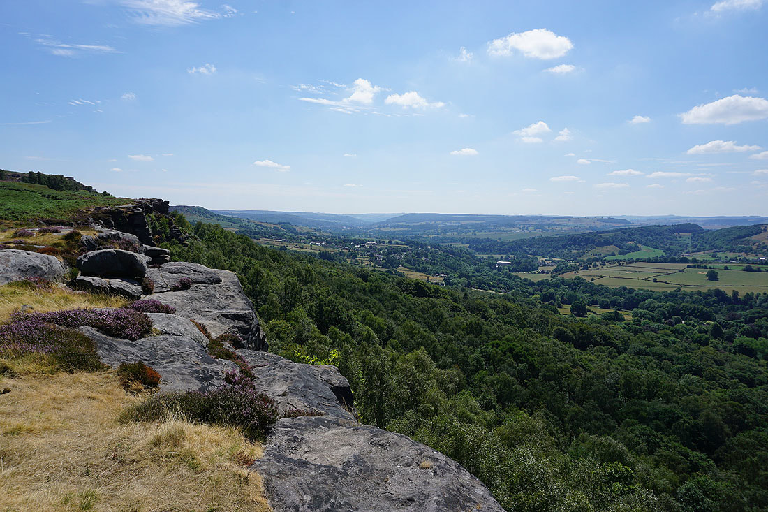
Now I can see Baslow Edge on the left, the village of Curbar below and down the Derwent Valley to Chatsworth
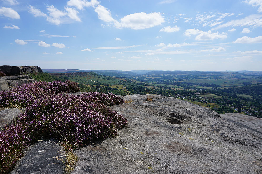
I can't resist getting a bit of heather in shot
Looking north up the Derwent Valley to Sir William Hill, Win Hill, Bamford Edge and Stanage Edge. It certainly looks like a hot summer's day in this photo.
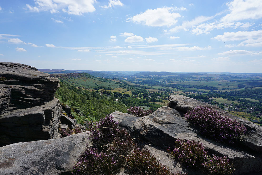
Another shot with rock and heather in the foreground
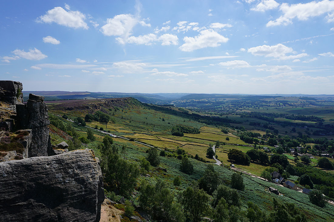
Looking north along Curbar Edge
Curbar, Calver, Longstone Moor and Middleton Dale
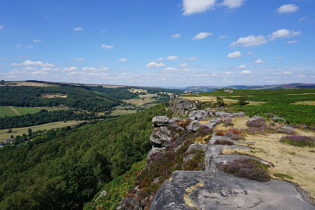
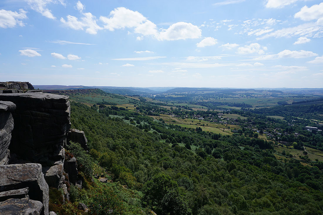
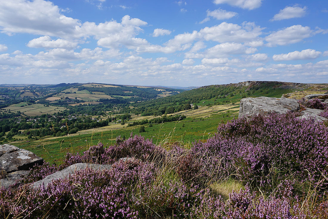
At the southern end of Curbar Edge with Baslow Edge on the left
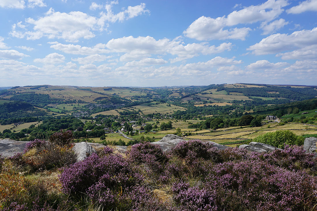
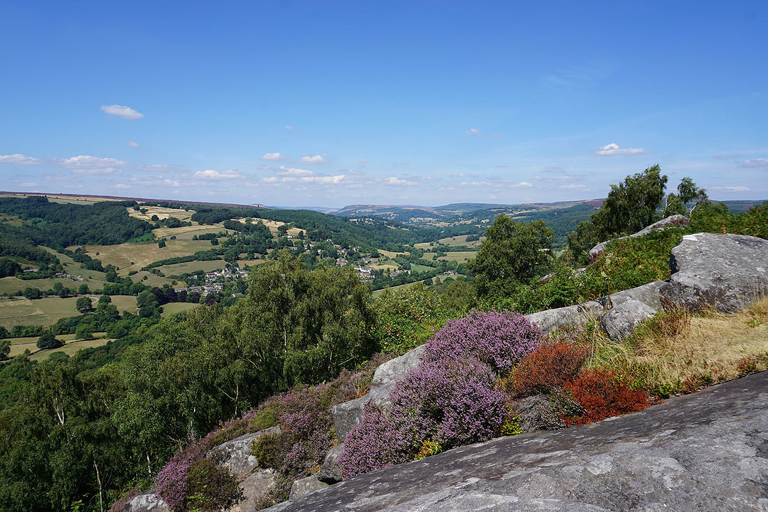
At the northern end of Baslow Edge. Longstone Moor, Calver, Curbar and Sir William Hill. This has to be my favourite photo of the day.

The Derwent Valley and the southern end of Curbar Edge...
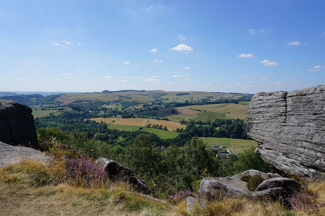
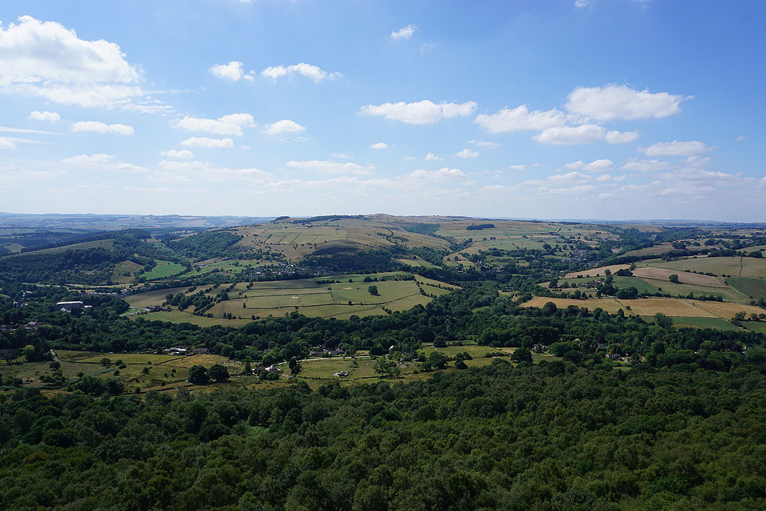
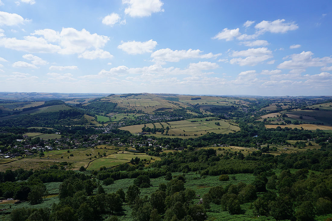
Looking south down the Derwent Valley towards Chatsworth
The Eagle Stone stands alone on the moor
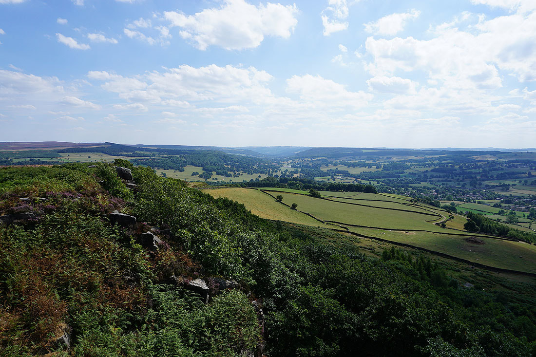
The wooded Gardom's Edge as I leave Baslow Edge
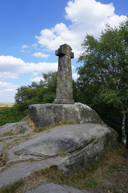
Wellington's Monument
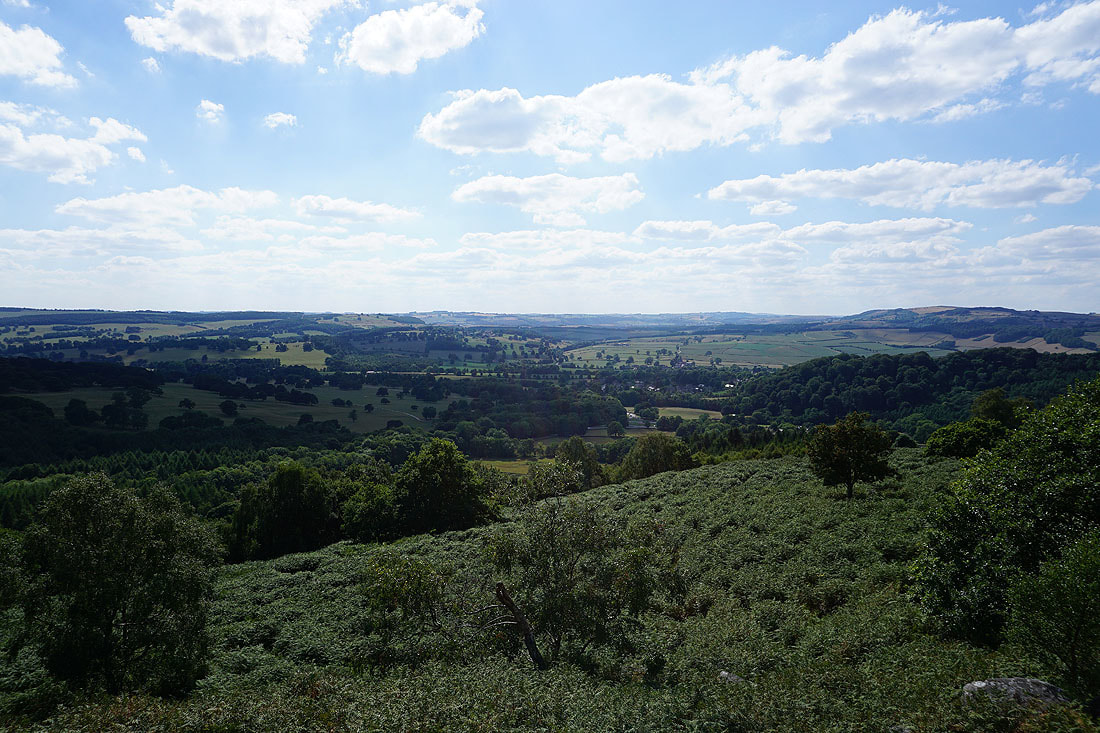
The Derwent Valley..
..as I follow the path down to the A619 at Robin Hood