6th April 2015 - Pendle Hill
Walk Details
Distance walked: 7.6 miles
Total ascent: 1026 ft
OS map used: 287 - West Pennine Moors & OL21 - South Pennines
Time taken: 6 hrs
Route description: Nick of Pendle-Pendleton Moor-Pendle Moor-Scout Cairn-Downham Moor-Pendle Hill-Downham Moor-Scout Cairn-Pendle Moor-Mearley Moor-Pendleton Moor-Nick of Pendle
What a fabulous day for walking in the hills. It's hard to believe that I hadn't actually planned on doing a walk today but I soon changed my mind when I saw what it was like when I looked outside this morning. The view across Rossendale from my home was pin sharp and there was fog trying to make its way up the valley from Manchester and through the gap in the hills that the A56 by-pass takes to the M65. All signs that there was a temperature inversion. So, I decided to head for Pendle Hill and to start from the Nick of Pendle. It's the highest hill in the neighbourhood with the best all round views and starting from the Nick would mean spending as long as I could above the fog. Once above the fog it felt really warm in the strong sunshine and light winds.
Setting off from one of the laybys at the Nick of Pendle I took the path up onto Pendleton Moor. After spending about twenty minutes walking through the fog I finally emerged through its top on the shoulder of Spence Moor. That certainly helped with navigation. Ignoring the obvious path into Ogden Clough I kept to the high ground and across Pendle Moor to reach the Scout Cairn. The onward route was then clear, across the top of Downham Moor to the wall and stile where the path up from Barley is joined to reach the trig point and summit. My route back was pretty much the reverse except for following the wall down Mearley Moor and then joining my outward route.
Route map
© Crown copyright. All rights reserved. License number PU 100034184.
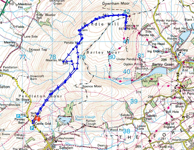
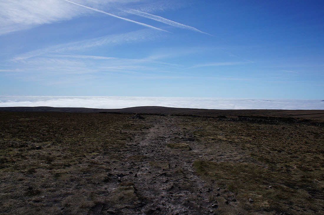
Hooray! After walking through the fog on Pendleton Moor for twenty minutes I've finally reached its top.
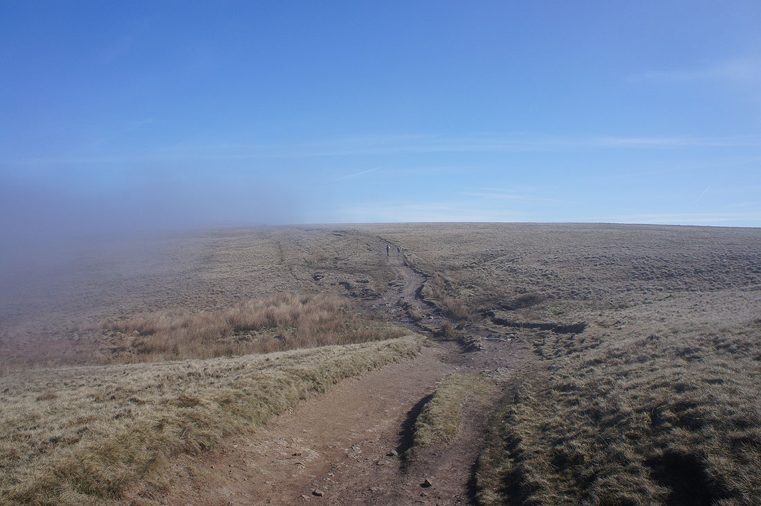
A fogbow. I was hoping that I might see a brocken spectre as well but the angles weren't right.
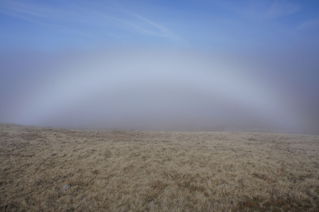
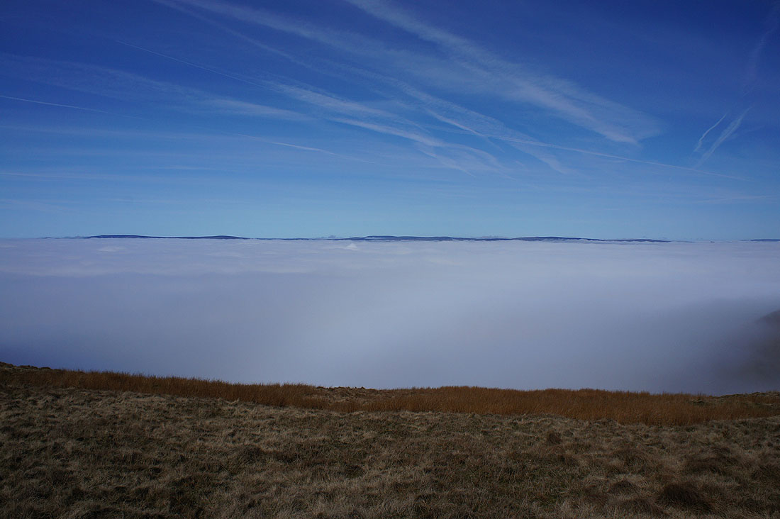
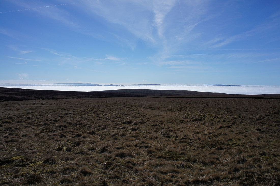
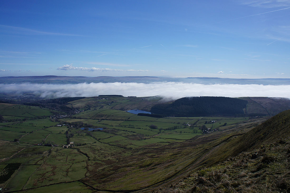
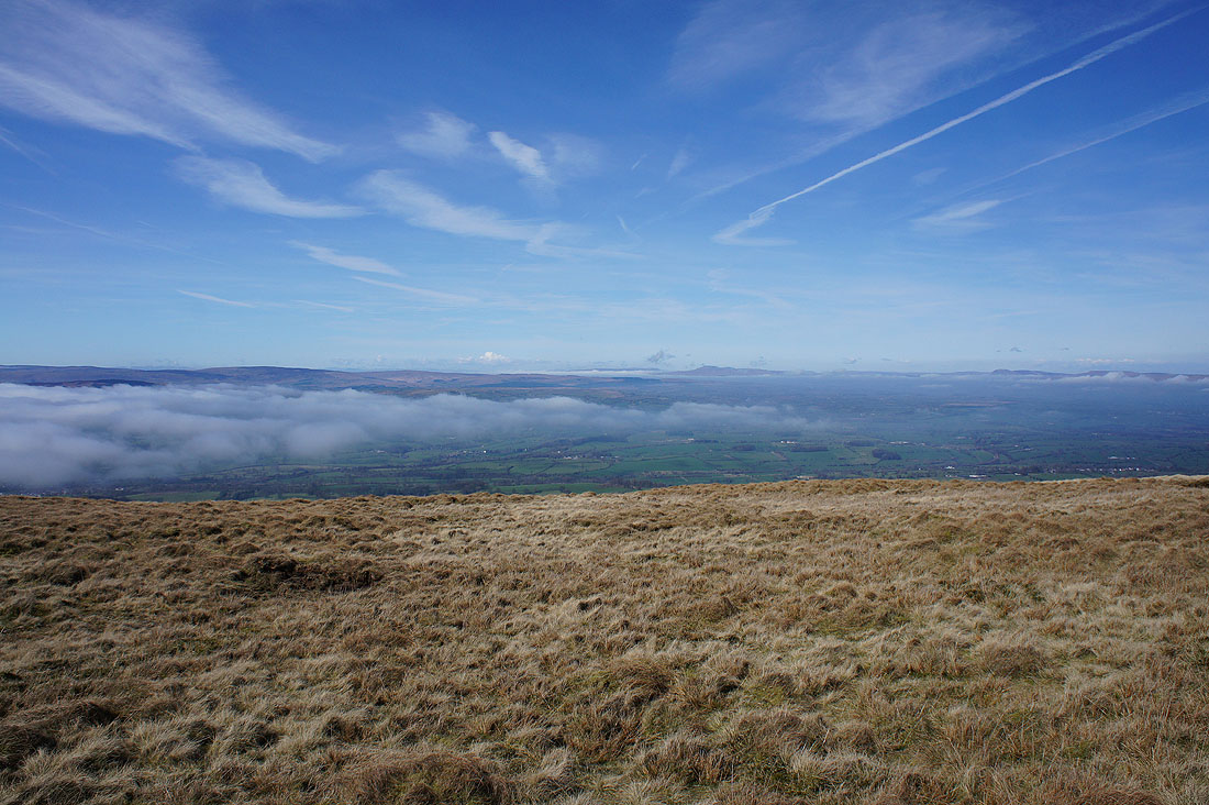
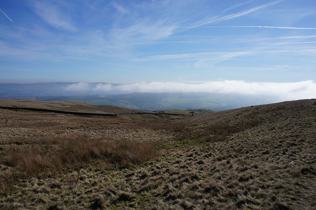
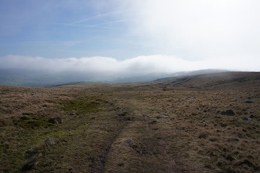
On the other side of Pendle Hill fog is pouring over the shoulder of Spence Moor into Ogden Clough. In the distance the hills of the South Pennines stand clear.
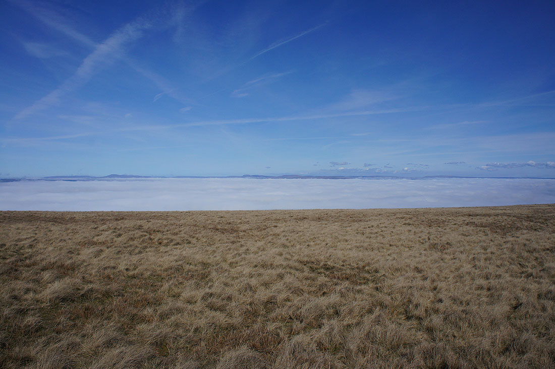
Views across the top of the fog to the fells of the Forest of Bowland on the other side of the Ribble valley
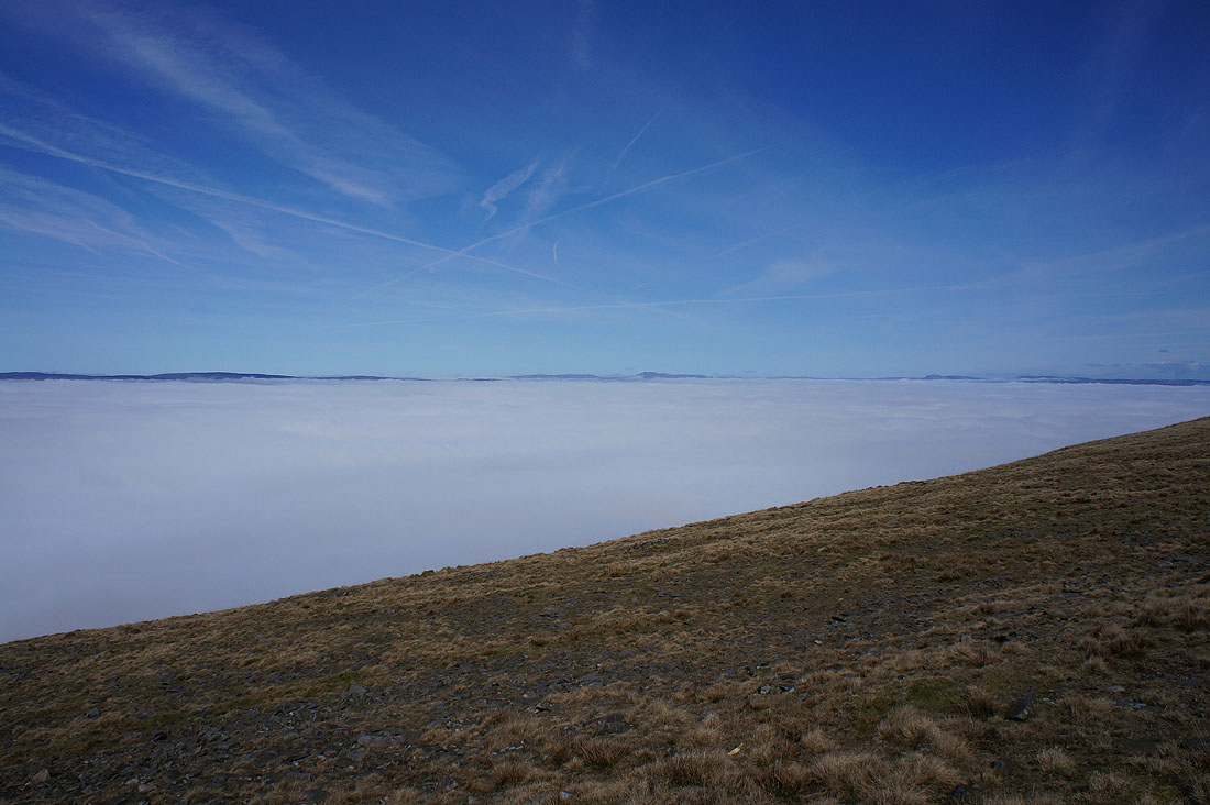
and to Ingleborough and Penyghent in the Yorkshire Dales
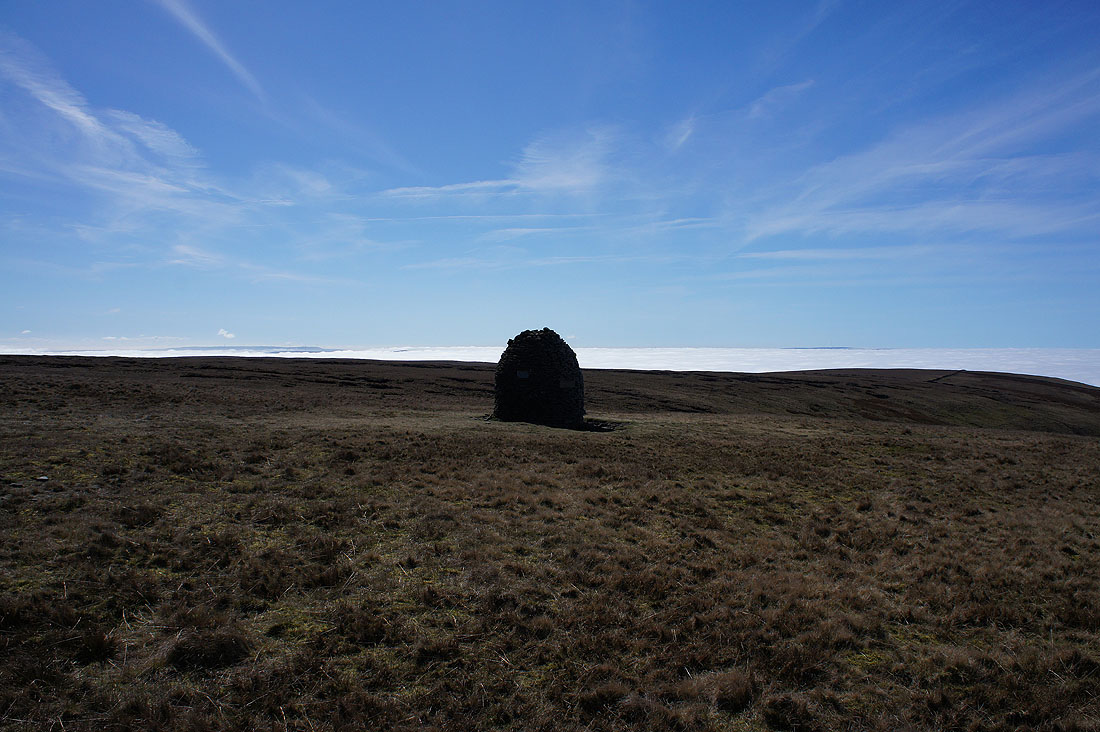
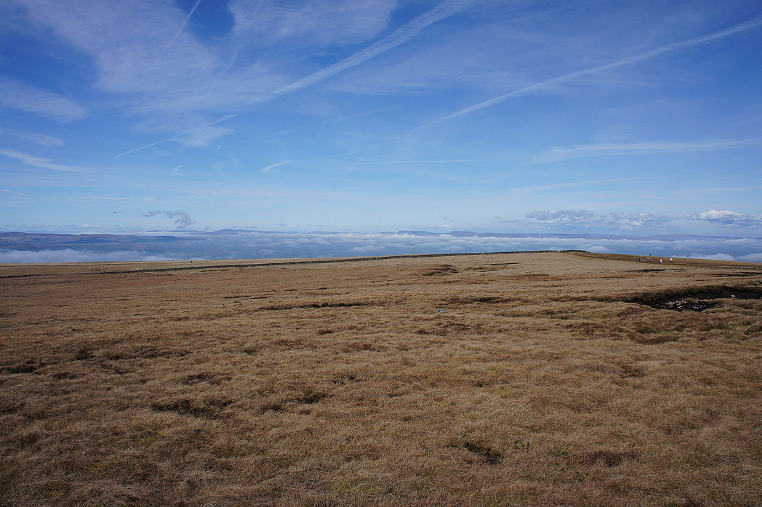
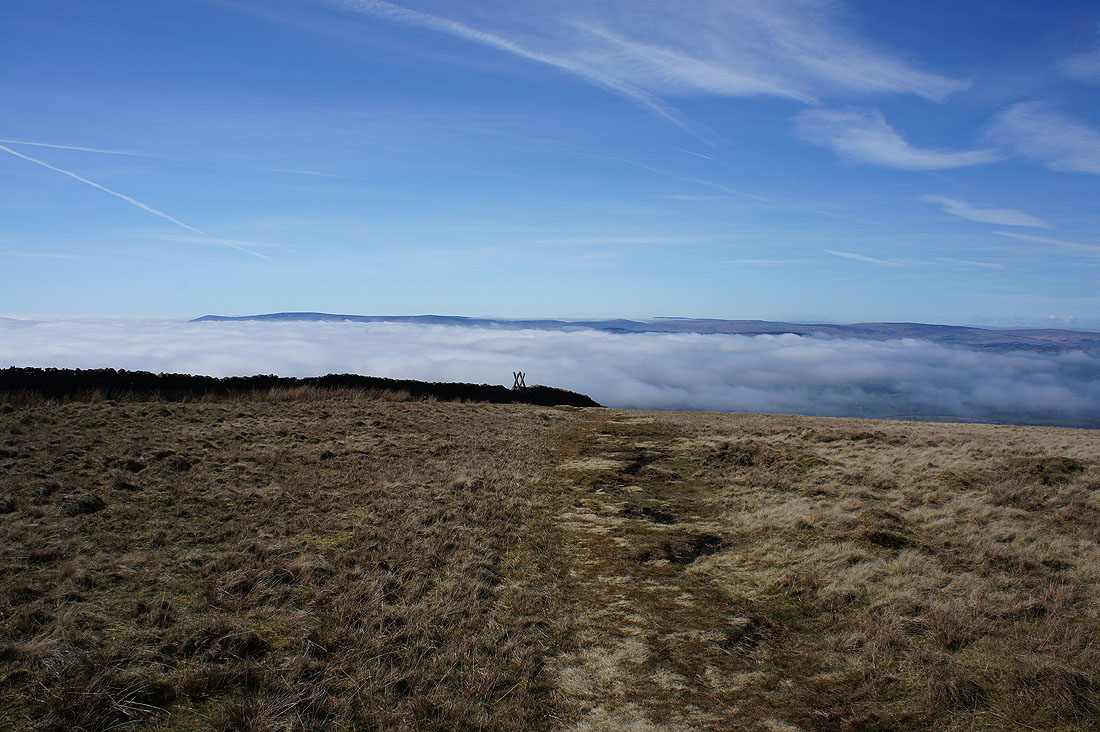
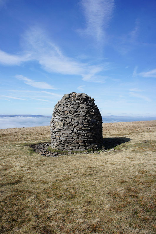
At the Scout Cairn for the first time today
As I've gained height the distant outline of the Lake District fells can be made out. On the left is the Scafell group, on the right are the Helvellyn and High Street groups.
To the south, Scout Moor and the West Pennine Moors. The high point on the right is Winter Hill.
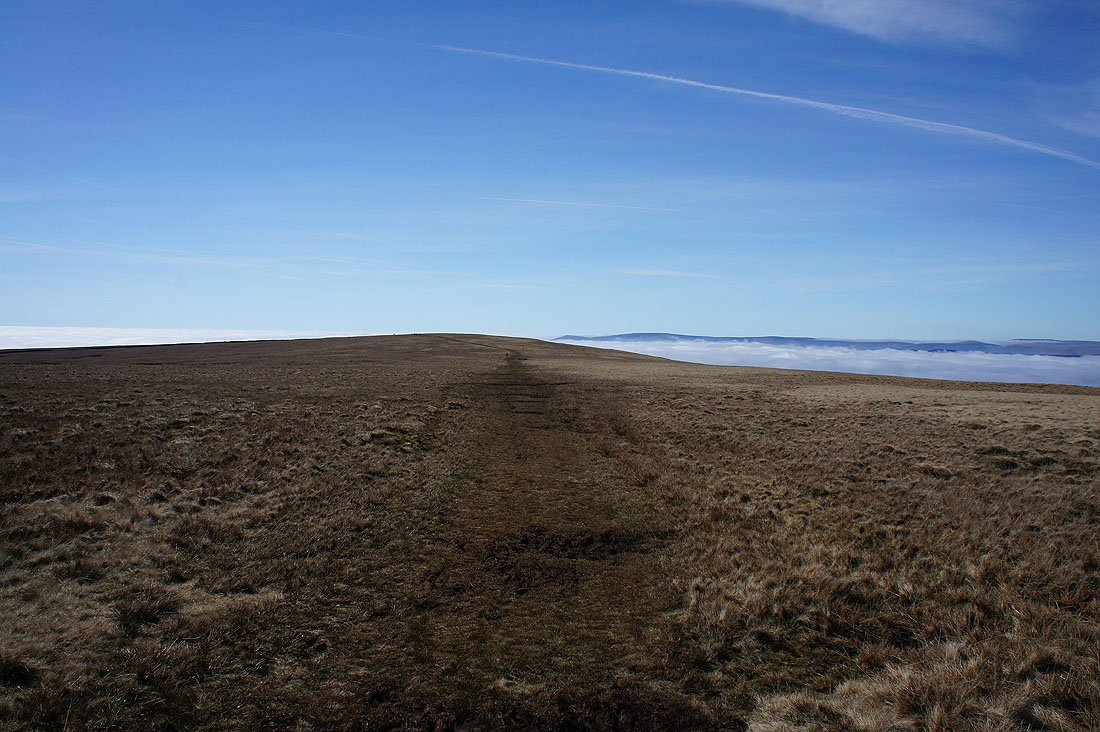
The summit is now in sight and it looks very busy up there
I can see more of the Yorkshire Dales now I've reached the northern end of the hill. There's Ingleborough, Penyghent, Fountains Fell and Great Whernside.
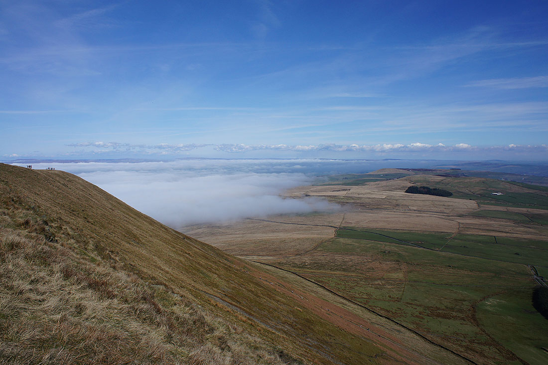
I liked this view across Twiston Moor with the fog that's made its way around Pendle Hill. It's been quiet up till now but when I cross that wall I'll join the path up from Barley.
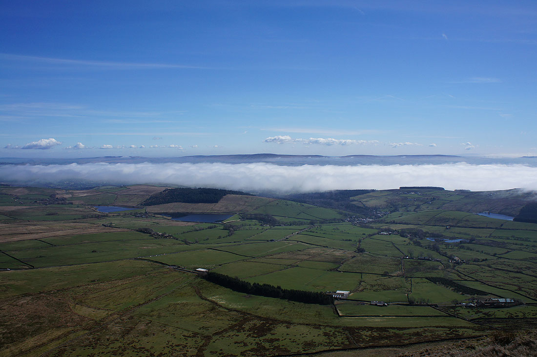
At the top of the eastern edge of the hill. Looking across the Black Moss Reservoirs, Barley and the fog to Boulsworth Hill.
Barley and Lower Ogden Reservoir
The steep east face of the hill. It was fun to sit here and watch just how many people were making their way up and down.
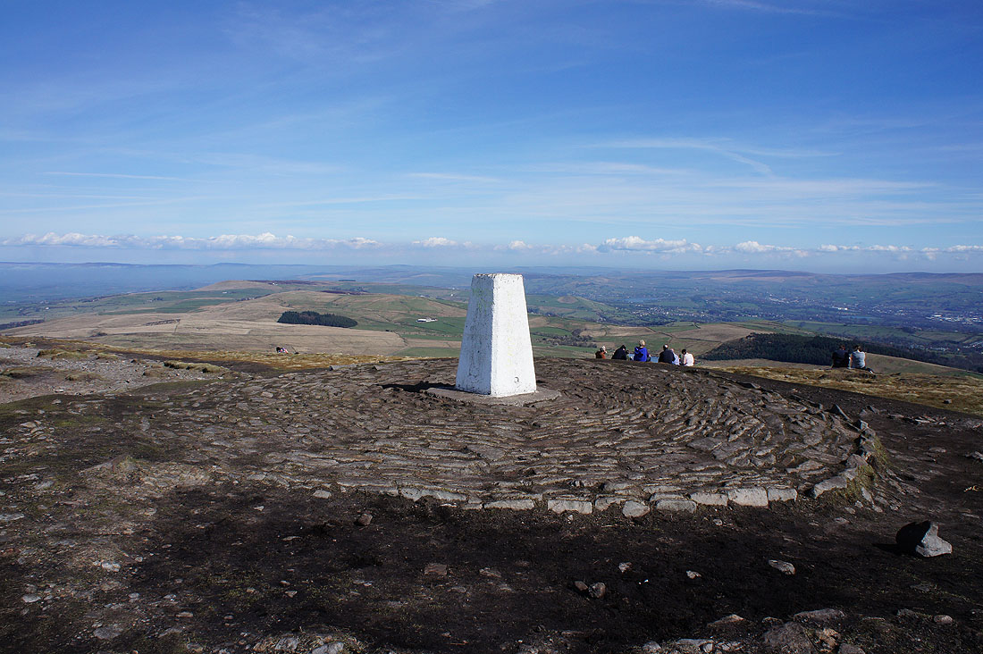
A briefly unoccupied trig point

The view from the summit. Looking south to Scout Moor and the West Pennine Moors. On the right, the top of Winter Hill is still clearly above the fog.
A fog filled Ribble valley
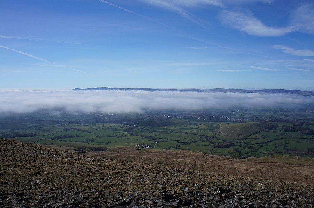
The fells of the Forest of Bowland
Ingleborough, Penyghent, Fountains Fell and Great Whernside in the Yorkshire Dales. The fog is starting to clear further inland.
Heading back across the top of Downham Moor
Fog clearing from the Ribble valley
Approaching the stile
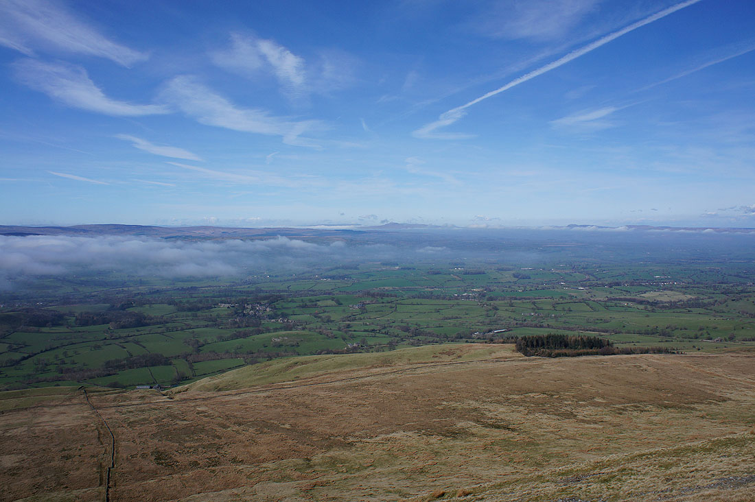
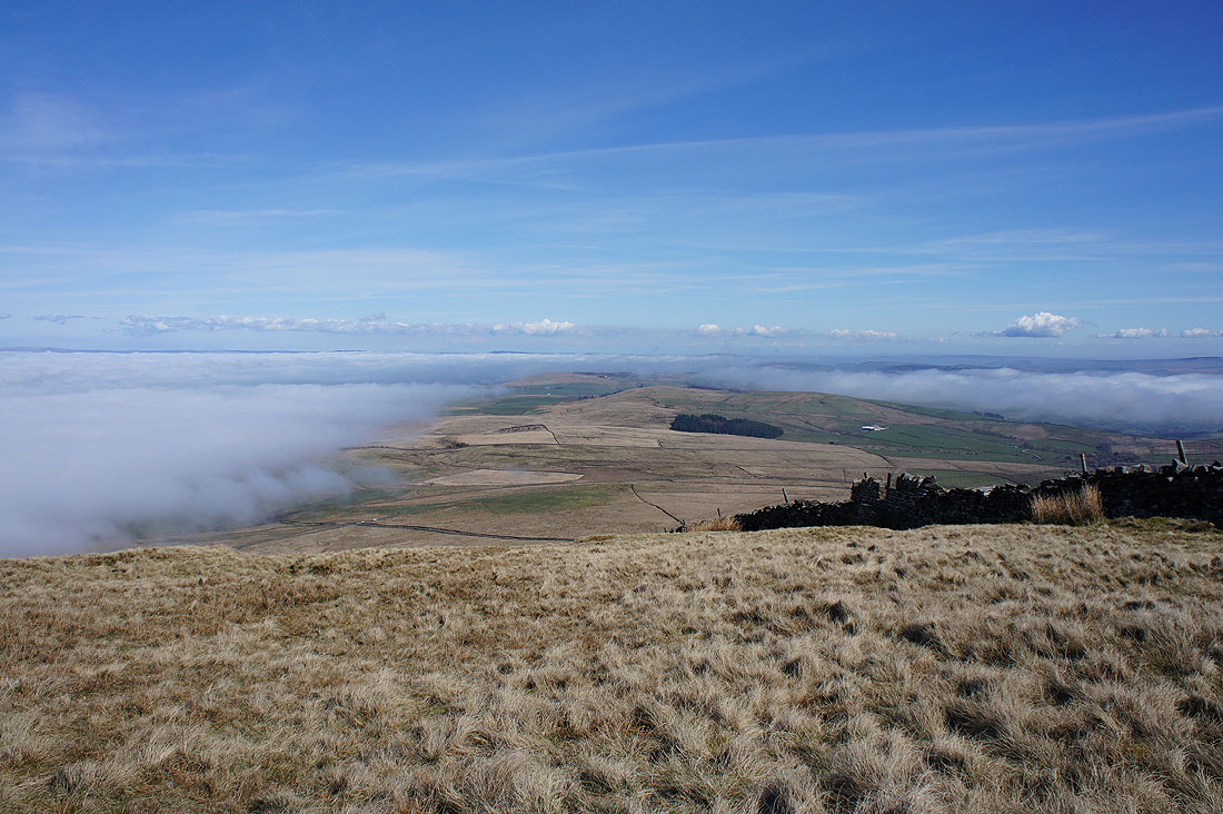
The fog is continuing to clear from the Ribble valley. I can now see the village of Downham.
Clitheroe is still under it though

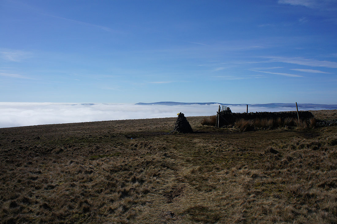
Back at the Scout Cairn

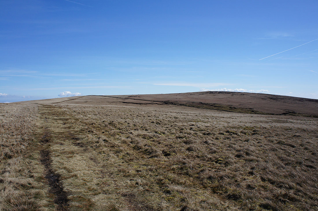
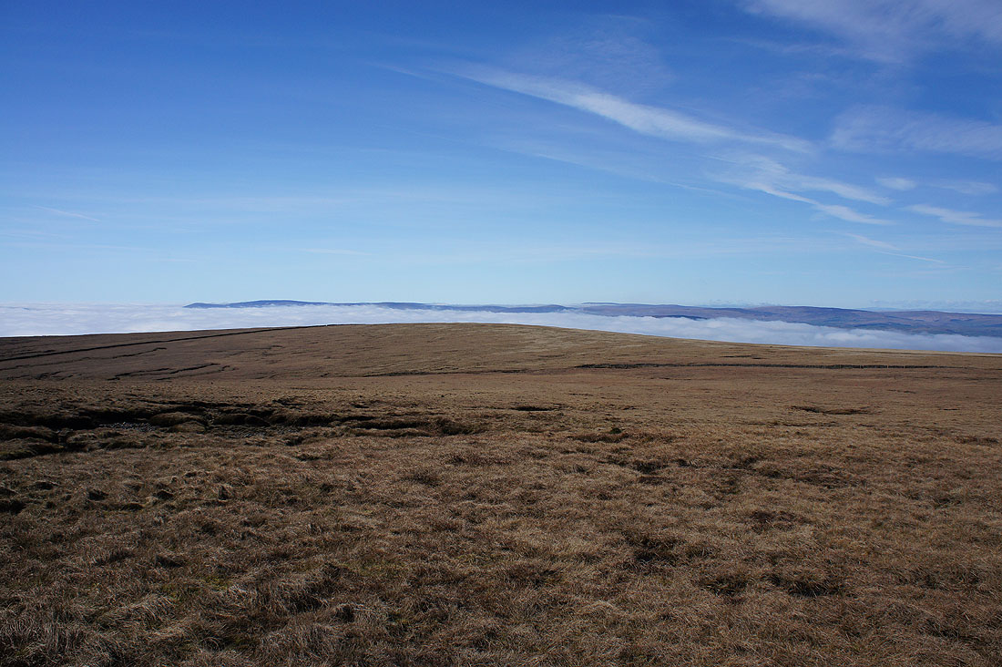
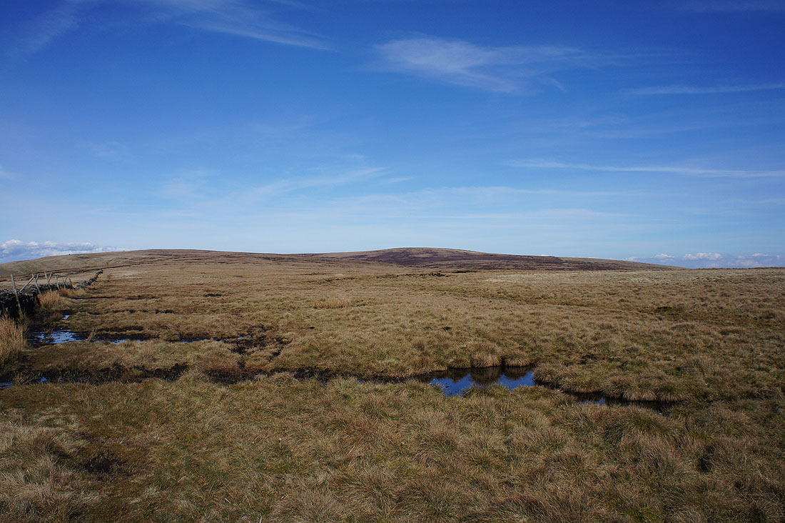
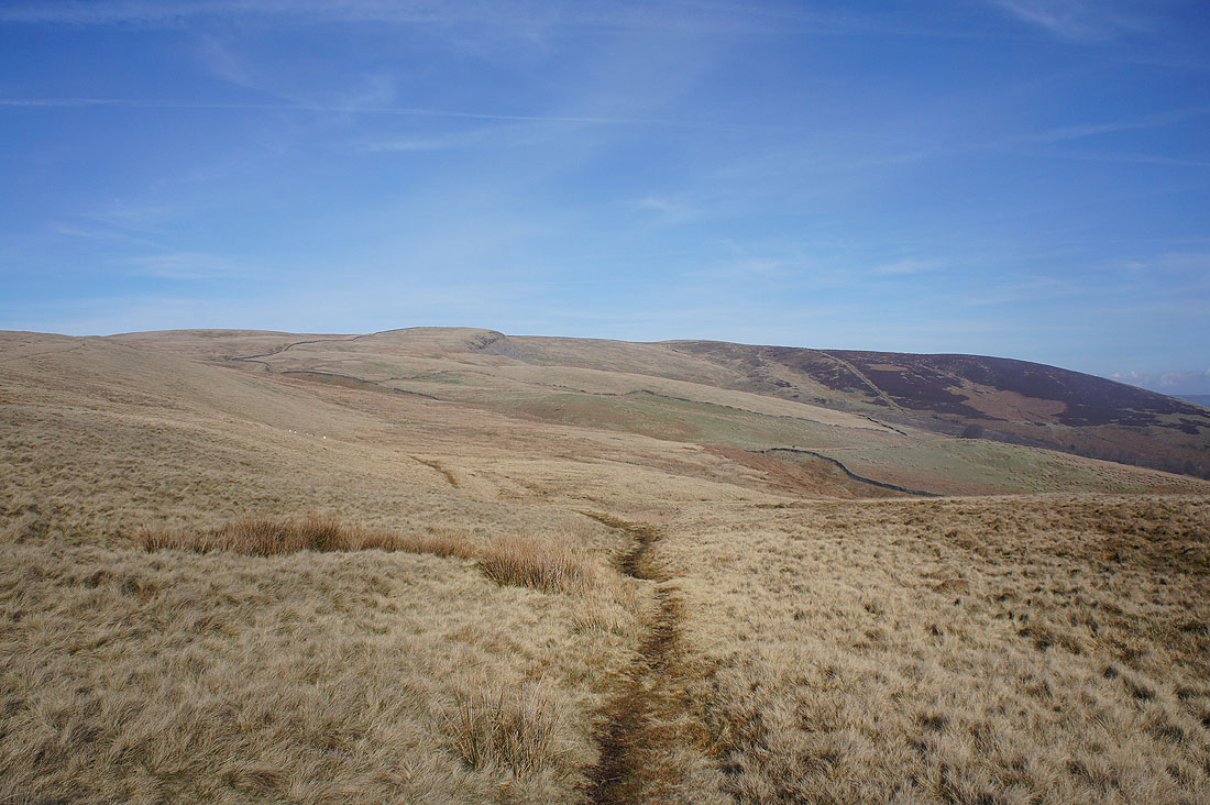
The broad top of Spence Moor
Looking back to the summit from Mearley Moor
Parlick and Fair Snape Fell from the cairn at the end of the wall on Mearley Moor. Here I left Mearley Moor and crossed the top of Howcroft Brook to get on the path for the Nick of Pendle.
Fog is still plaguing Sabden in the valley below
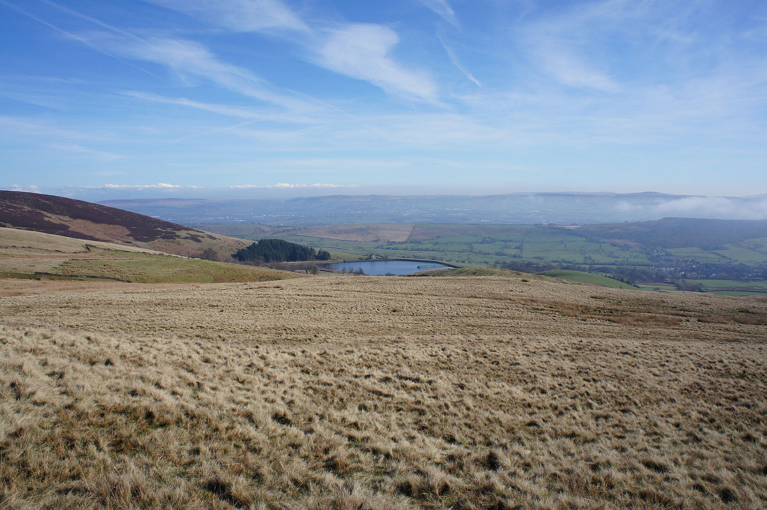
Churn Clough Reservoir
The colourful hillside of Deerstones and Spence Moor
Down into the mist