8th October 2017 - Stoodley Pike
Walk Details
Distance walked: 10.9 miles
Total ascent: 1411 ft
OS map used: OL21 - South Pennines
Time taken: 6 hrs
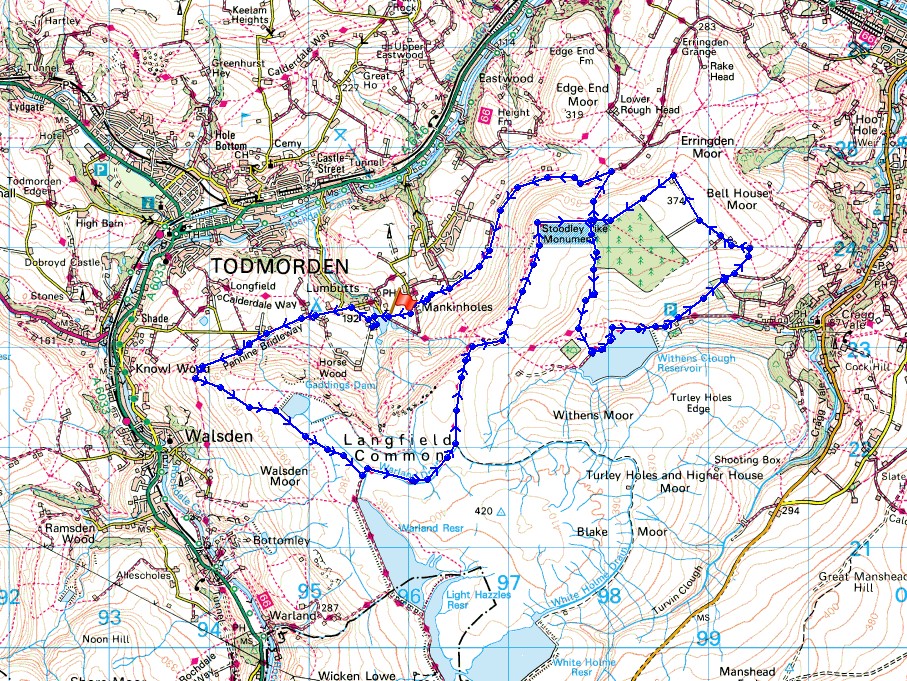
Route description: Lumbutts-Pennine Bridleway-Rake End-Gaddings Dam-Pennine Way-Coldwell Hill-Pennine Way-Stoodley Pike-Withens Clough Reservoir-Cragg Road-Dick's Lane-Pennine Way-Pennine Bridleway-Mankinholes-Lumbutts
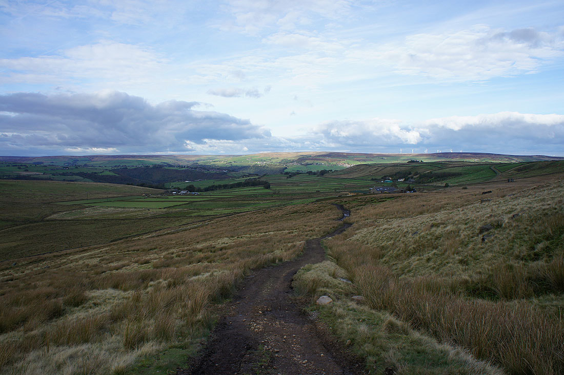
There wasn't the best of weather forecast for today so I decided against doing one of the walks I have planned that involve a bit of a drive for one close to home in Calderdale. In the end it turned out to be a really nice autumn day as the cloud soon broke up after I set off and I did the walk in warm sunny spells. It didn't take me long to realise that I was going to finish sooner than I wanted to, so from Stoodley Pike I made my way down to Withens Clough Reservoir to do a loop around the moor to the east of the pike and back to the route I originally planned.
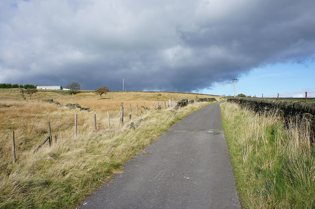
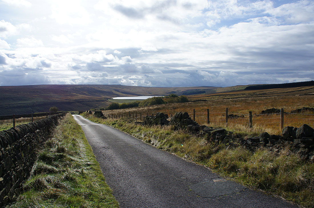
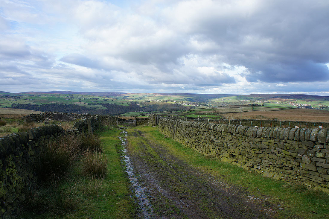
From where I parked outside the church in Lumbutts I took the bridleway past Lee Dam and Lee Farm to reach the road on the other side of Lumbutts. I then walked up the road to the Shepherd's Rest Inn and onto the Pennine Bridleway up the hillside to the corner at Rake End. Here I left the bridleway for a path uphill past the Basin Stone and Gaddings Dam to reach Warland Drain and the trail of the Pennine Way. I followed the trail north to Stoodley Pike with a short detour onto Coldwell Hill for lunch. From Stoodley Pike I kept on the trail a short distance east to a crossroads of paths where I turned right and took the one down to Withens Clough Reservoir. I followed the track by the reservoir past its dam to the car park just below it where I took Cragg Road that goes uphill to the left past Stony Royd Farm and Knowl Barn. Here the road loses its tarmac and becomes an enclosed track across the moor to its junction with Dick's Lane. I then followed this path west to where it met up with where I left the Pennine Way earlier in the day. I then turned right and took the trail north to its junction with the Pennine Bridleway. I followed the Pennine Bridleway west across the hillside to Mankinholes, and a short walk down the road brought me back to where I was parked.
Total ascent: 1411 ft
OS map used: OL21 - South Pennines
Time taken: 6 hrs
Route description: Lumbutts-Pennine Bridleway-Rake End-Gaddings Dam-Pennine Way-Coldwell Hill-Pennine Way-Stoodley Pike-Withens Clough Reservoir-Cragg Road-Dick's Lane-Pennine Way-Pennine Bridleway-Mankinholes-Lumbutts
There wasn't the best of weather forecast for today so I decided against doing one of the walks I have planned that involve a bit of a drive for one close to home in Calderdale. In the end it turned out to be a really nice autumn day as the cloud soon broke up after I set off and I did the walk in warm sunny spells. It didn't take me long to realise that I was going to finish sooner than I wanted to, so from Stoodley Pike I made my way down to Withens Clough Reservoir to do a loop around the moor to the east of the pike and back to the route I originally planned.
From where I parked outside the church in Lumbutts I took the bridleway past Lee Dam and Lee Farm to reach the road on the other side of Lumbutts. I then walked up the road to the Shepherd's Rest Inn and onto the Pennine Bridleway up the hillside to the corner at Rake End. Here I left the bridleway for a path uphill past the Basin Stone and Gaddings Dam to reach Warland Drain and the trail of the Pennine Way. I followed the trail north to Stoodley Pike with a short detour onto Coldwell Hill for lunch. From Stoodley Pike I kept on the trail a short distance east to a crossroads of paths where I turned right and took the one down to Withens Clough Reservoir. I followed the track by the reservoir past its dam to the car park just below it where I took Cragg Road that goes uphill to the left past Stony Royd Farm and Knowl Barn. Here the road loses its tarmac and becomes an enclosed track across the moor to its junction with Dick's Lane. I then followed this path west to where it met up with where I left the Pennine Way earlier in the day. I then turned right and took the trail north to its junction with the Pennine Bridleway. I followed the Pennine Bridleway west across the hillside to Mankinholes, and a short walk down the road brought me back to where I was parked.
Route map
© Crown copyright. All rights reserved. License number PU 100034184.
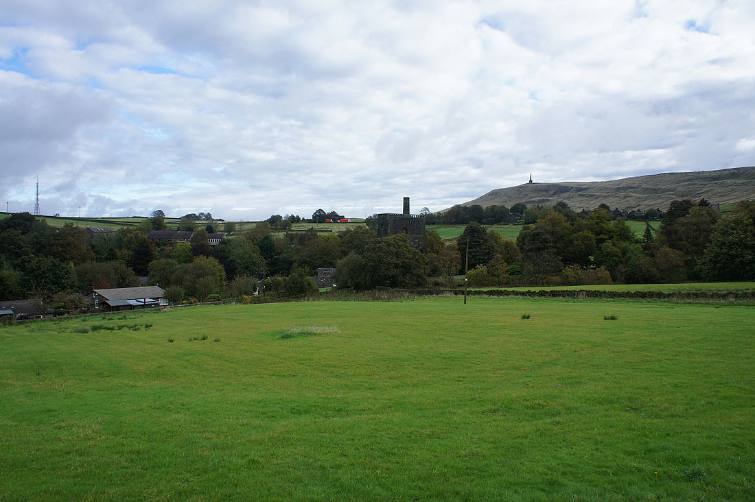
The hamlet of Lumbutts backed by Stoodley Pike as I set off..
..along the bridleway past Lee Farm
Calderdale and Stoodley Pike as I take the Pennine Bridleway to Rake End
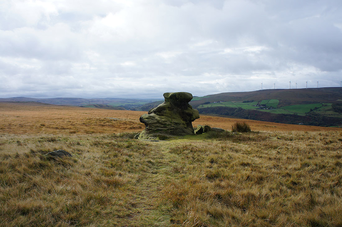
The Basin Stone as I head uphill..
..to Gaddings Dam. It's nice to see the sun out at last.
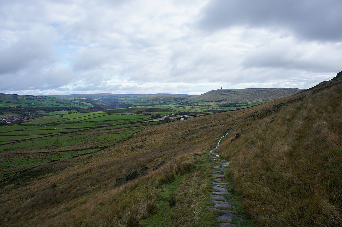
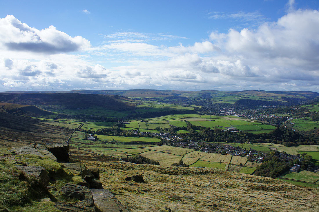
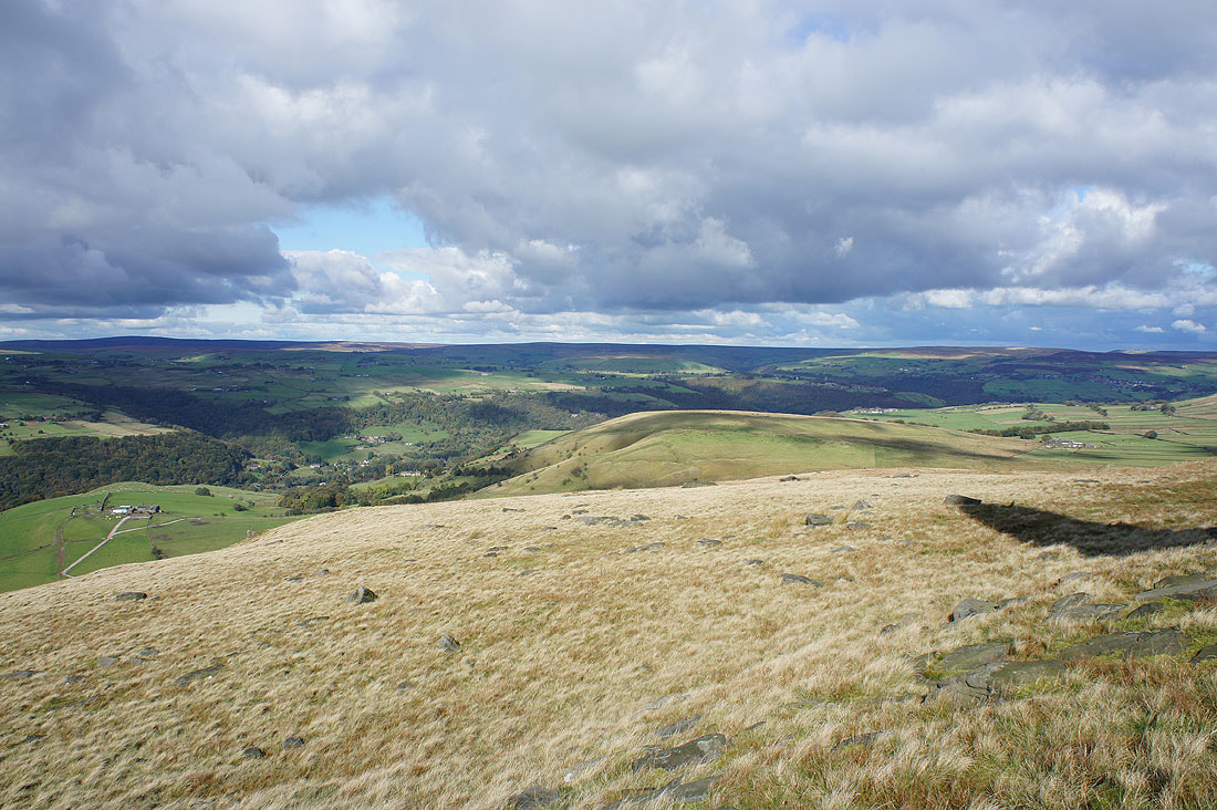
The moors around Todmorden from the Pennine Way. I can make out the top of Pendle Hill in the distance.
On the Pennine Way to Stoodley Pike
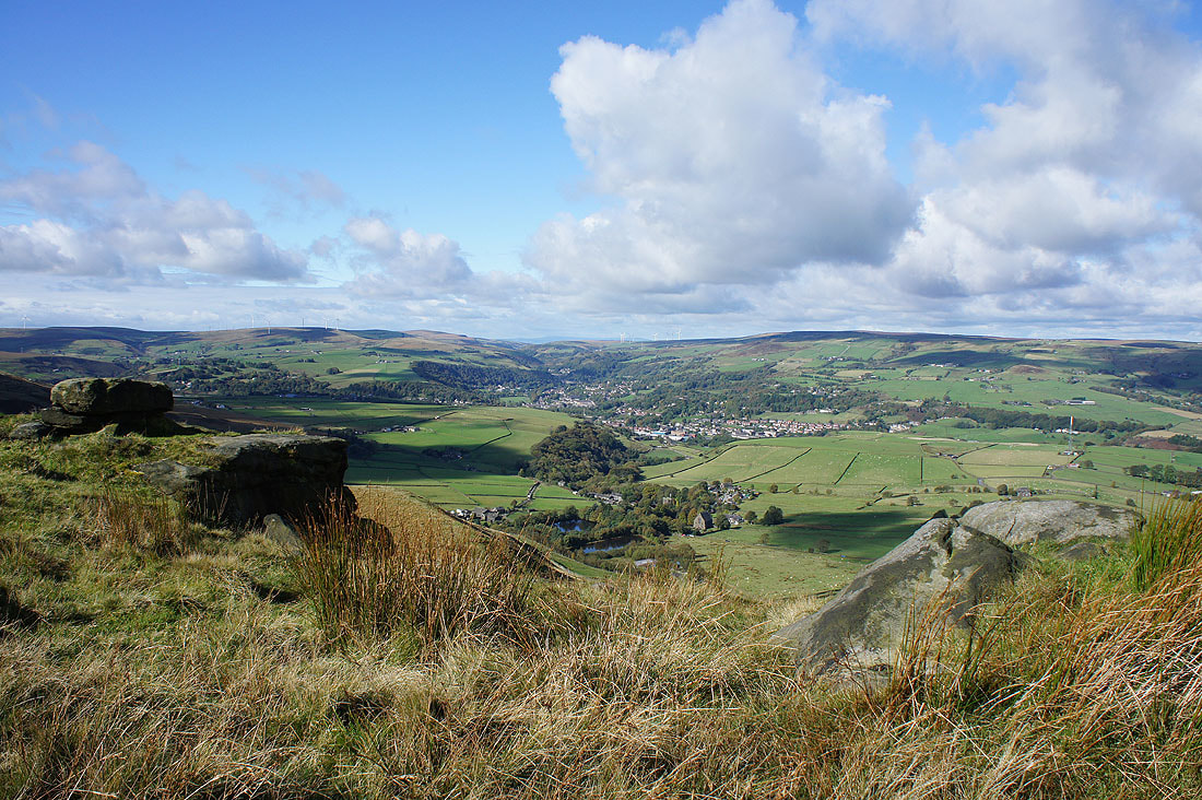
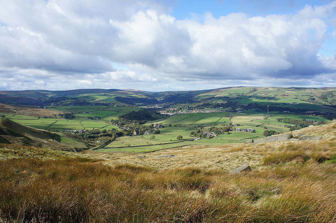
But first, a stop for lunch on the edge of Coldwell Hill above Lumbutts. A lovely spot to sit in the sun and enjoy the views across Calderdale...
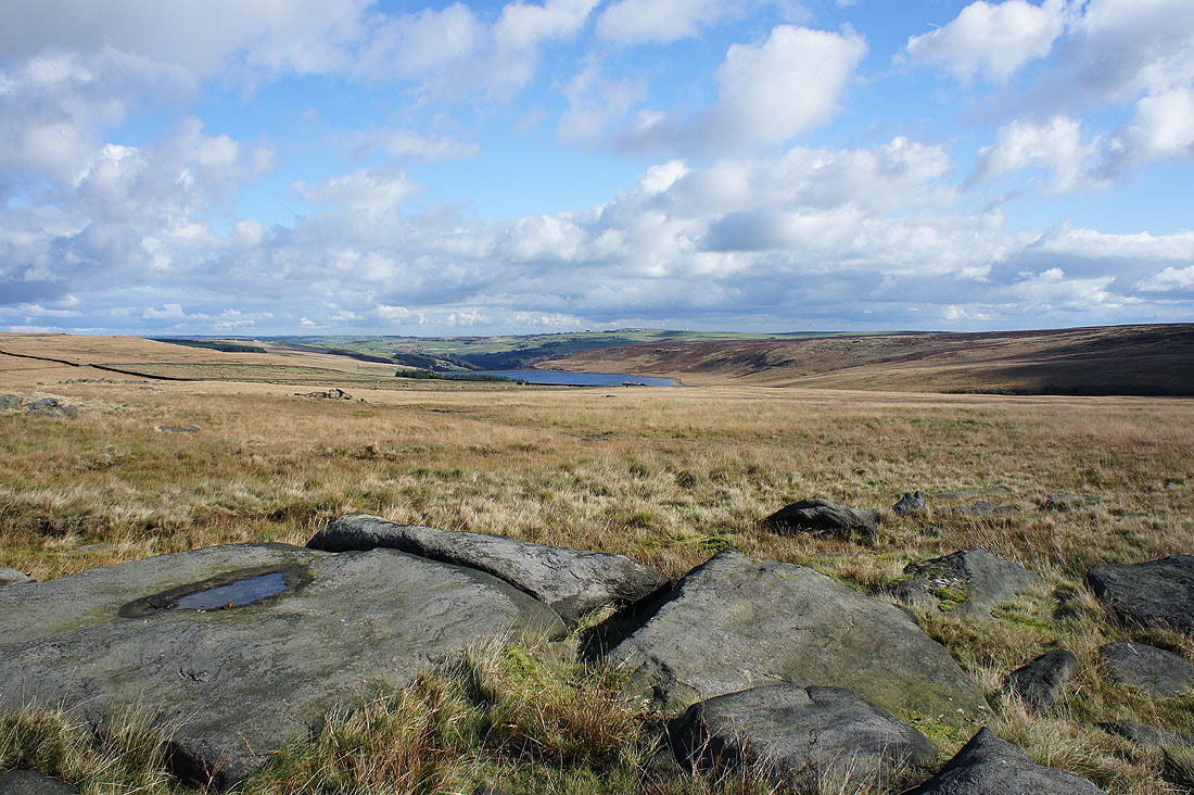
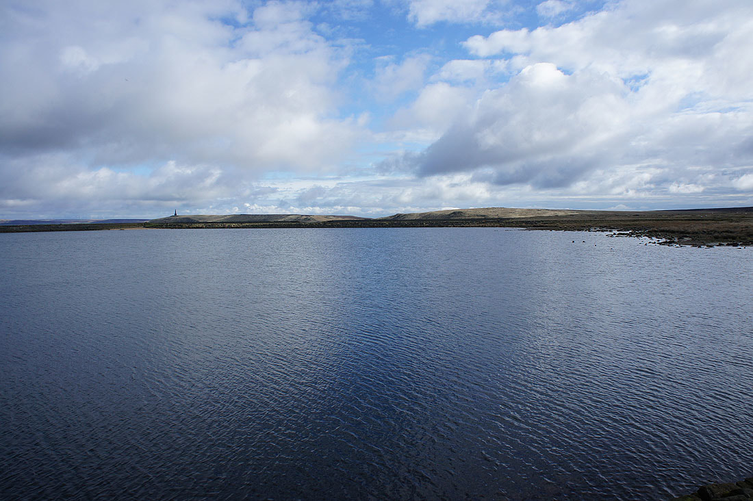
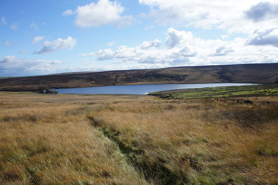
Withins Clough Reservoir
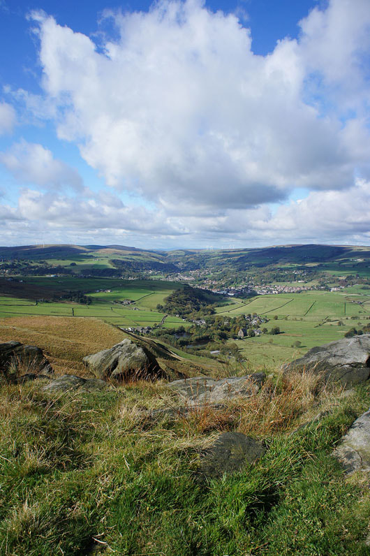
More great views across Calderdale as I now head for Stoodley Pike..
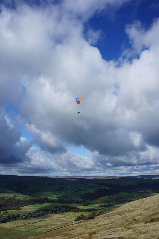
Someone's taking advantage of the strong wind that is blowing today
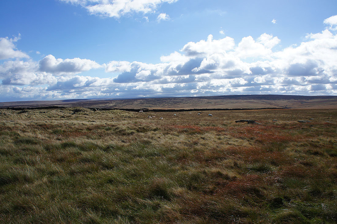
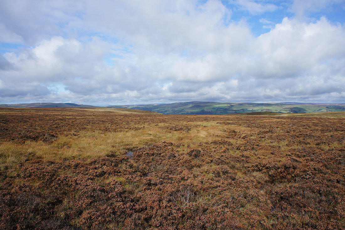
South Pennines moors
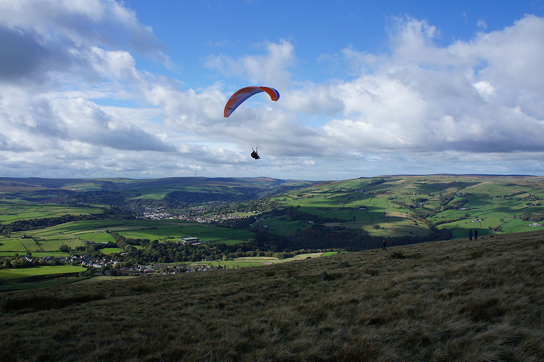
Coming in to land..
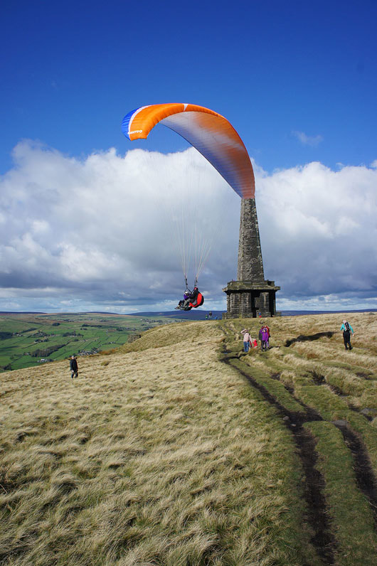
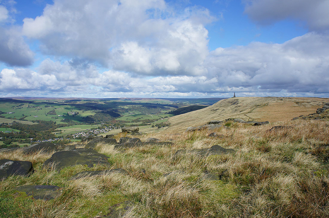
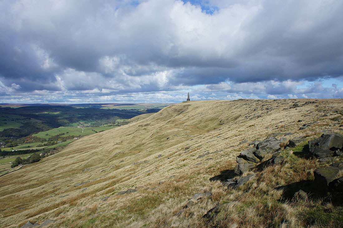
The view from a windy Stoodley Pike. Langfield Edge, the moors of the watershed and Todmorden.
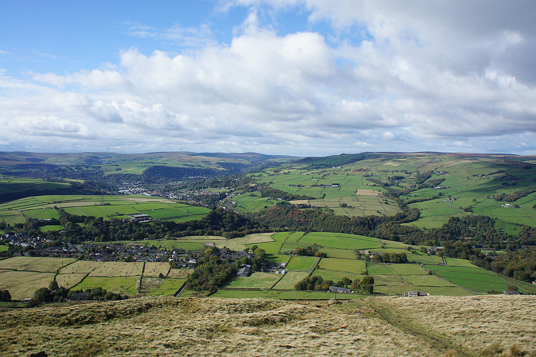
Todmorden, Bride Stones Moor and Calderdale
The moors above Colden Clough, Hebden Dale and Hebden Bridge
Heading down to Withens Clough Reservoir

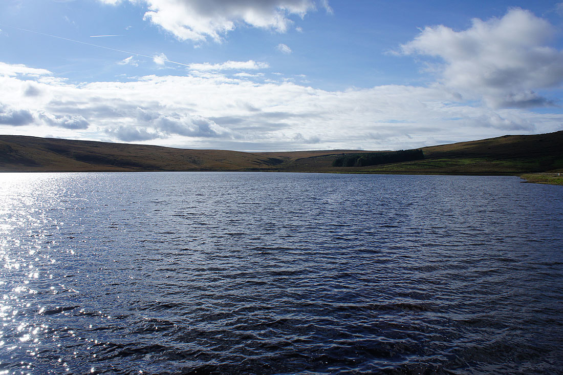
On the footpath by Withens Clough Reservoir
Withens Clough Reservoir
On the dam of the reservoir looking down Withens Clough to Cragg Vale
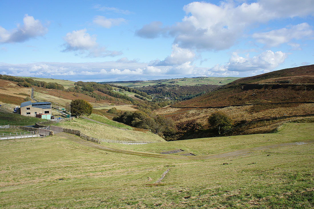
Heading up Cragg Road towards Stony Royd Farm
Looking back to Withens Clough
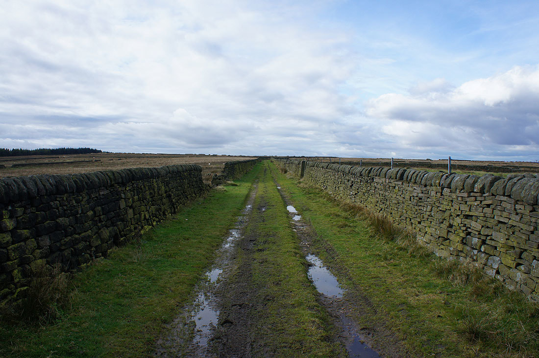
The tarmac on Cragg Road comes to an end at Knowl Barn and it becomes an enclosed track
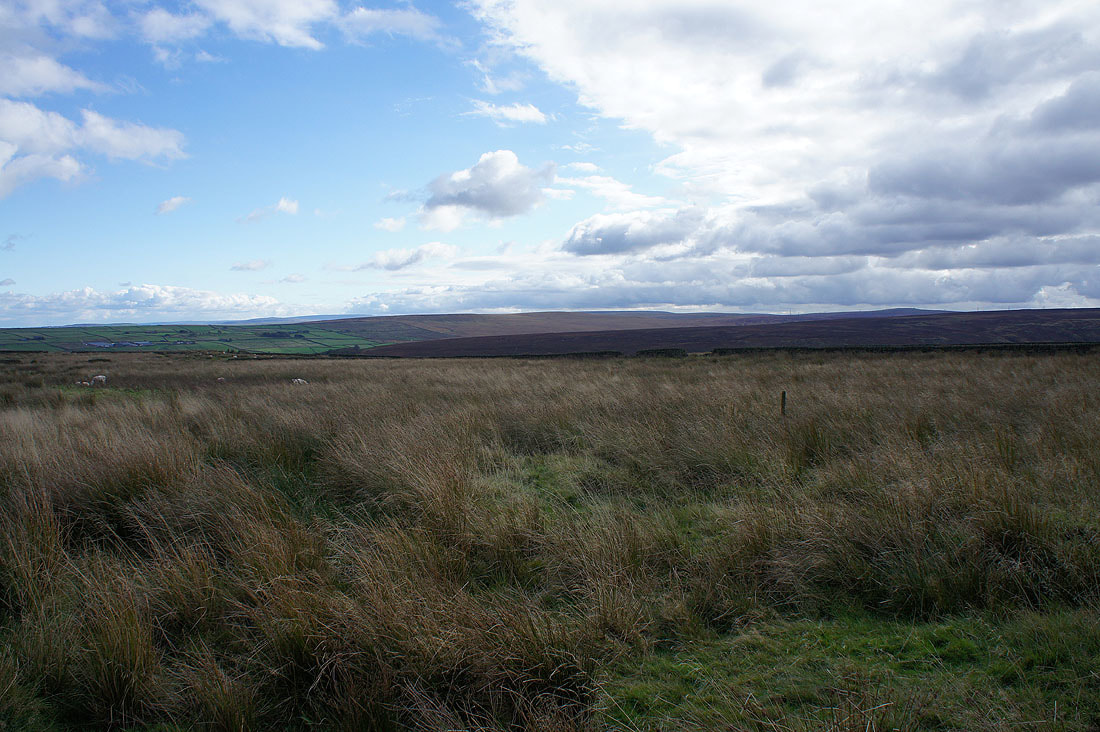
The moors around Cragg Vale to the south
Calderdale back in view as I reach the end of Cragg Road. Here I'll turn left and take Dick's Lane.
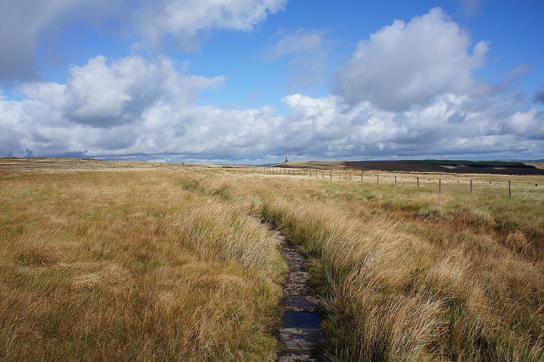
I've come full circle as I join the Pennine Way again near Stoodley Pike where I left it earlier. Following the trail north to its junction with the Pennine Bridleway.
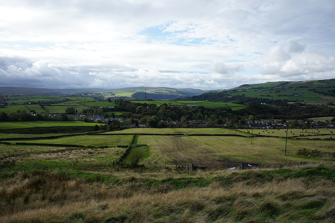
Calderdale from the Pennine Bridleway
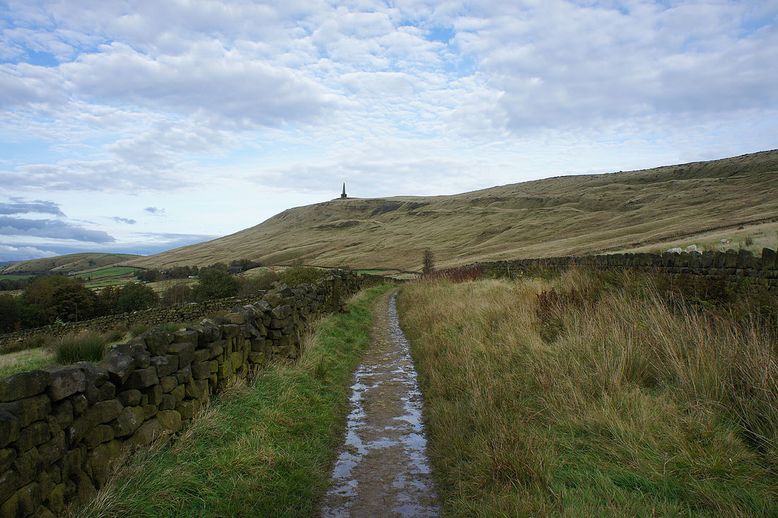
A last look back to Stoodley Pike as I head down to Lumbutts