8th September 2012 - Back Tor & Derwent Edge
Walk Details
Distance walked: 11.7 miles
Total ascent: 2065 ft
OS map used: OL1 - The Peak District, Dark Peak area
Time taken: 6.5 hrs
Route description: Fairholmes car park-Upper Derwent Reservoir-Abbey Brook-Cartledge Stones Ridge-Back Tor-Dovestone Tor-Whinstone Lee Tor-Derwent-Fairholmes car park
A late start for this walk. It was misty with low cloud in the morning but this showed signs of clearing around 1100 and it was forecast to clear from the south so I went over the Snake Pass for this walk above the Upper Derwent Valley. It had turned into a lovely day by the time I arrived.
For conveniences sake I've put the start of the walk as Fairholmes though I actually started from the roadside car park at Hagg Side. Given the time of day I got there I didn't even bother seeing if there was space at Fairholmes and when I walked through it my decision was vindicated.
My route went under the Derwent dam to follow the track along Upper Derwent Reservoir until it reached Abbey Brook. I then followed the path up this valley all the way to the top to walk across Cartledge Stones Ridge to the high point of the day, Back Tor. Derwent Edge was descended down to Whinstone Lee Tor, then I made my way down to Ladybower Reservoir and back round to Fairholmes.
Route map
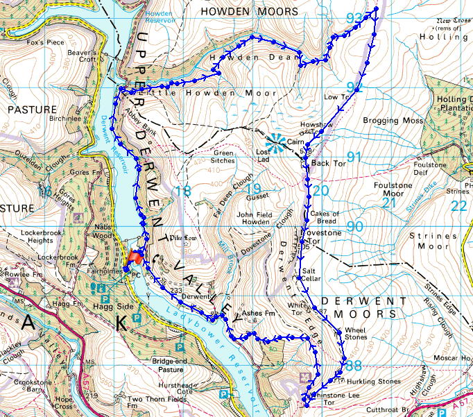
© Crown copyright. All rights reserved. License number PU 100034184.
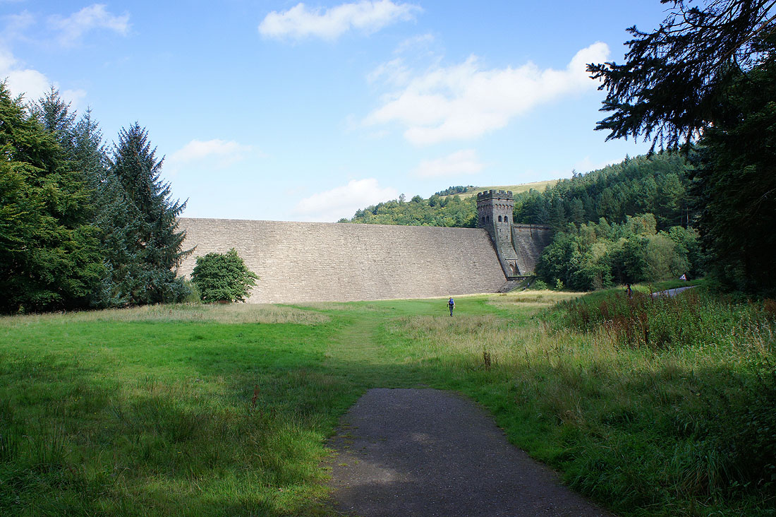
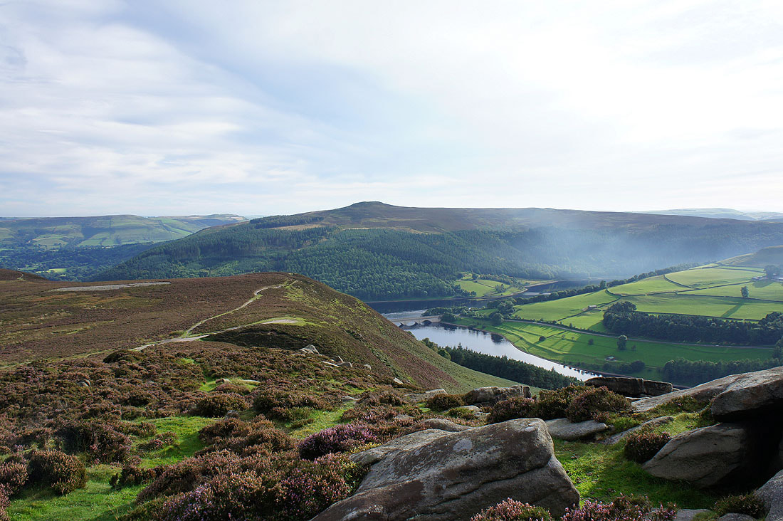
Heading underneath the dam of Upper Derwent Reservoir
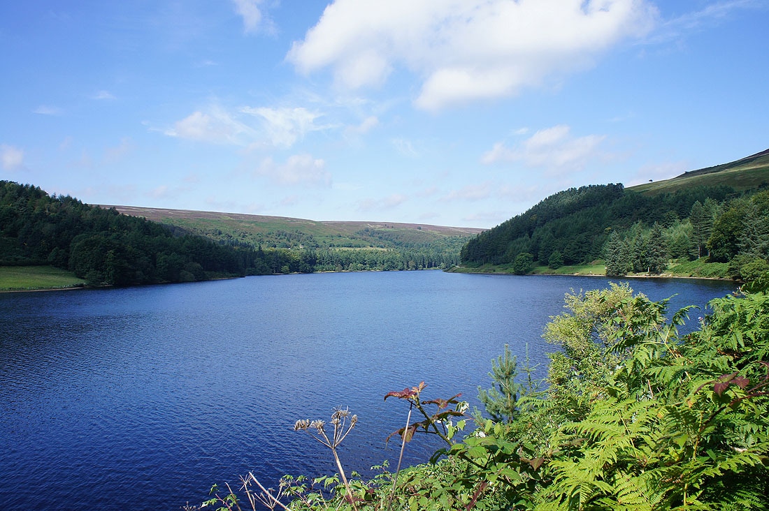
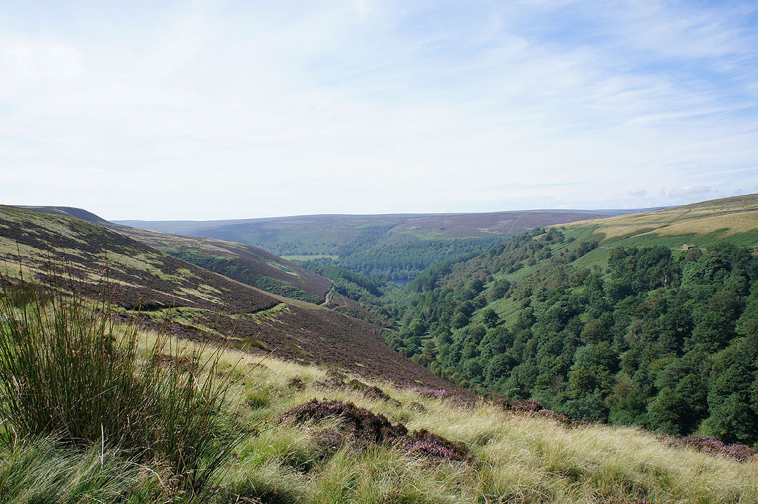
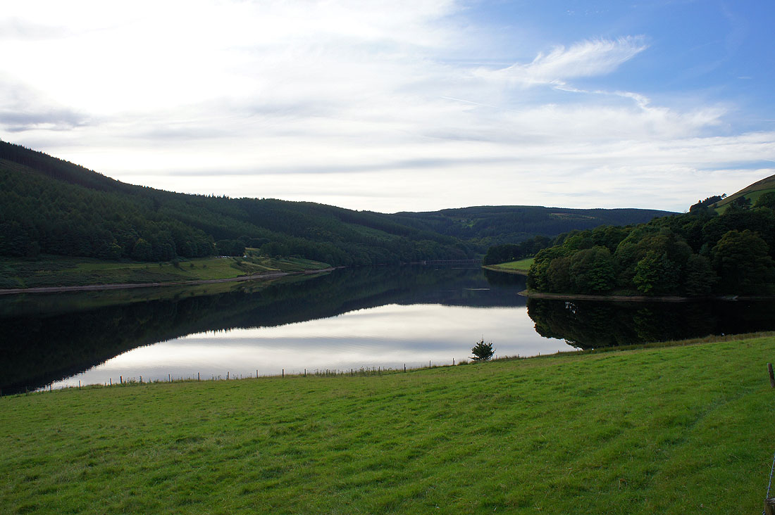
Upper Derwent Reservoir. I'm following the track by its eastern shore until I reach the valley of Abbey Brook.
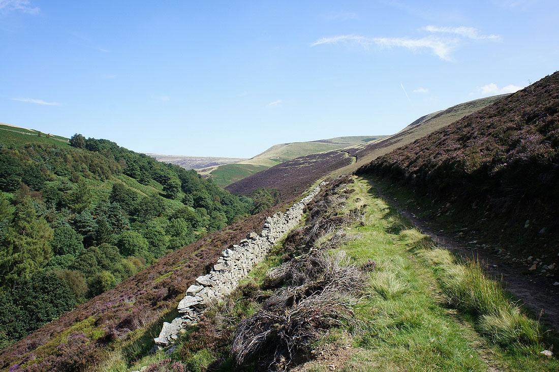
On route up Abbey Brook. Views from the path up the valley to its source on Cartledge Stones Ridge.
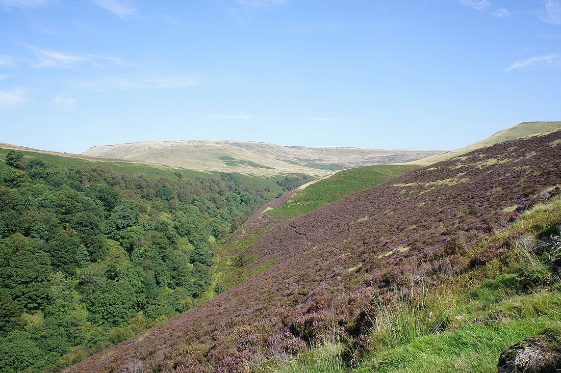
The view back as I head up the valley
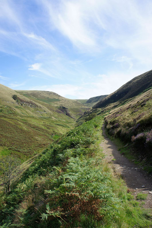
Into the upper part of the valley. The path heads round to the right. That's Crook Clough on the left.
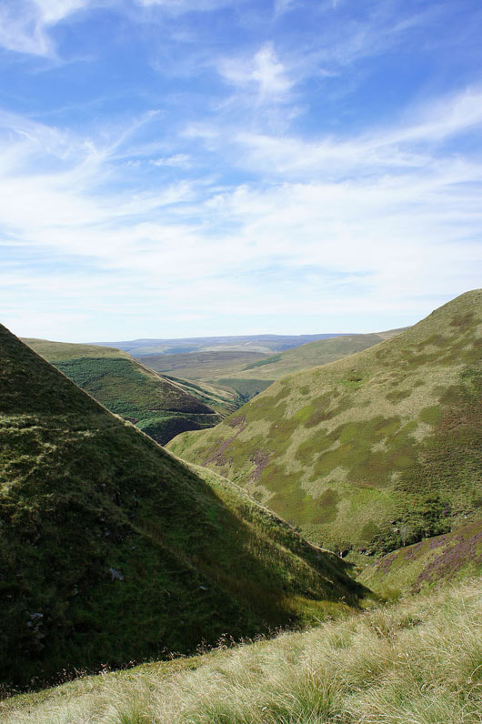
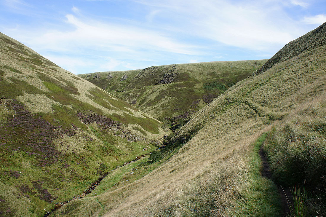
At the top of Abbey Brook
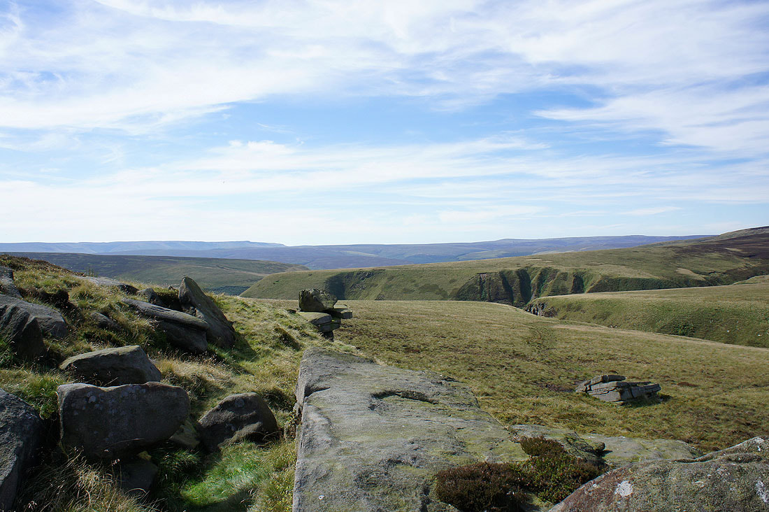
Finally up on the open moor with big views to enjoy
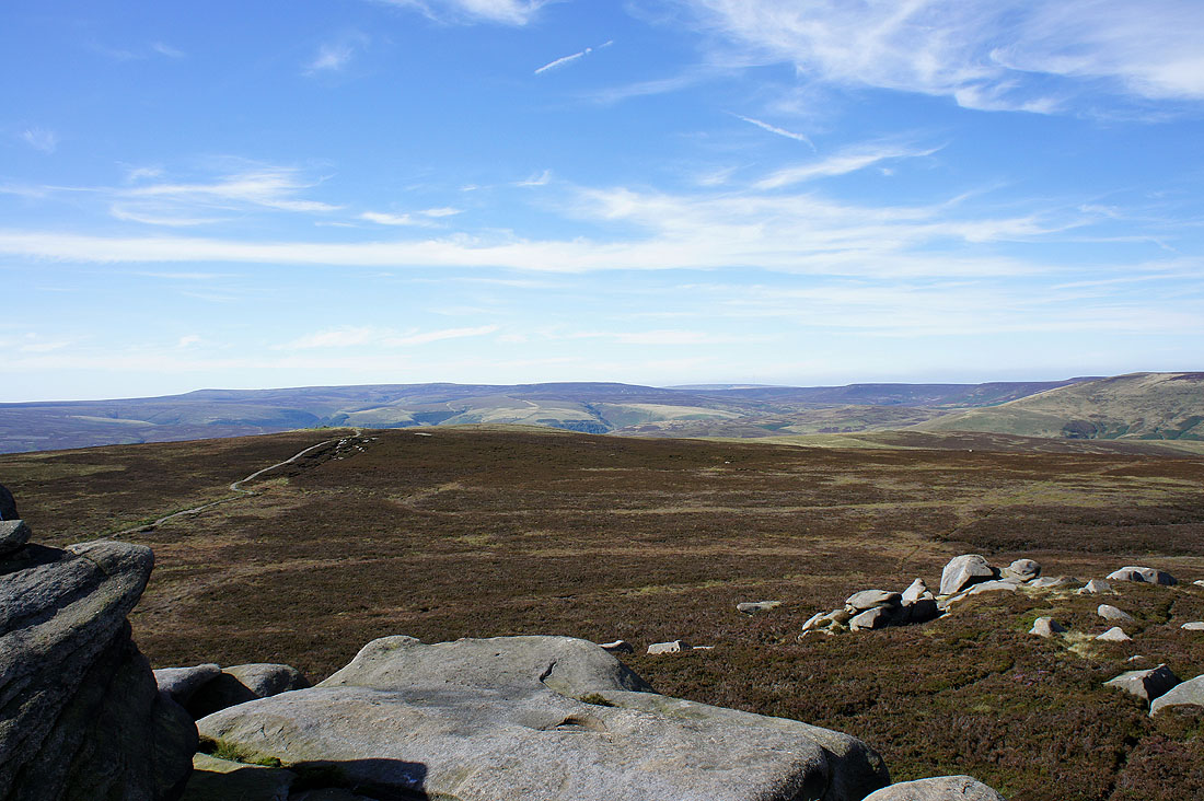
Heading for Back Tor
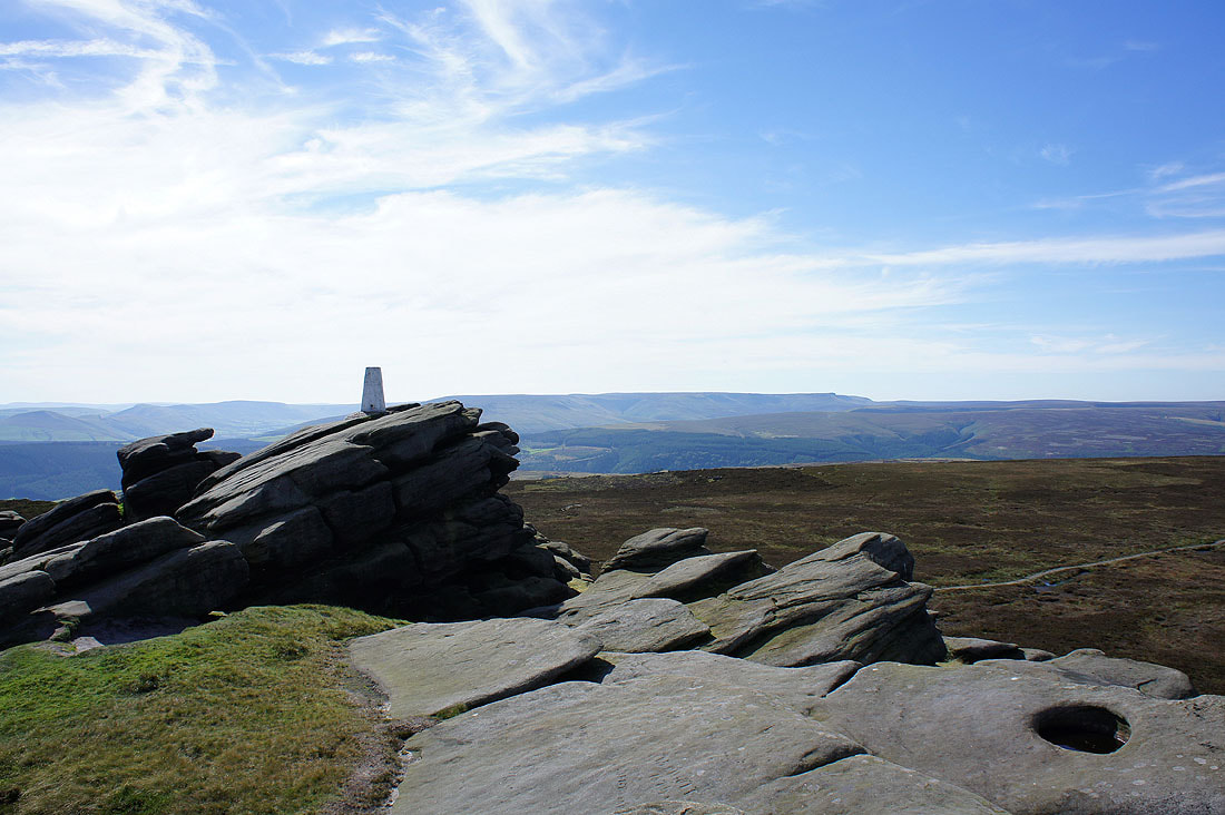
On Back Tor looking to Kinder Scout
Bleaklow in the distance
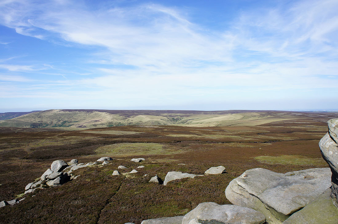
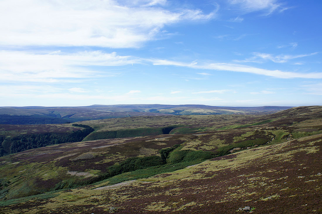
Featherbed Moss and Margery Hill
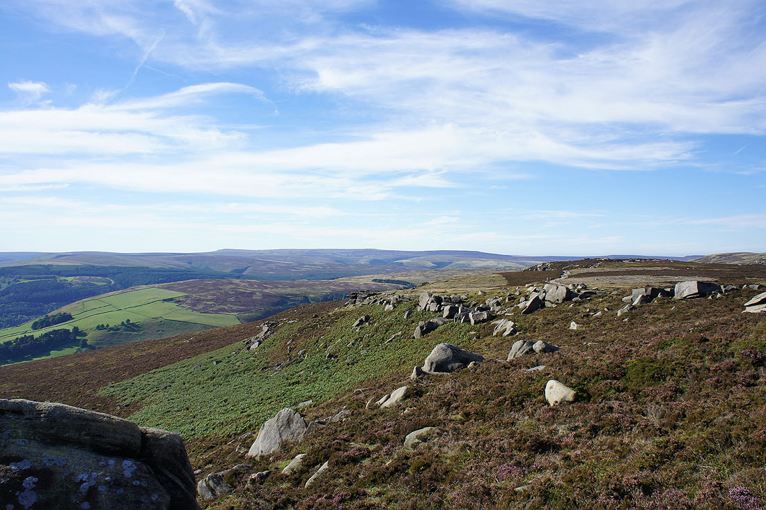
Looking towards Stanage Edge and Bamford Edge
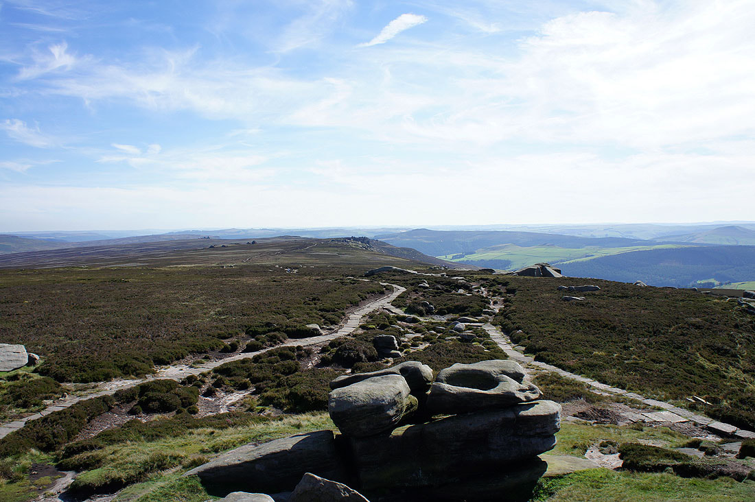
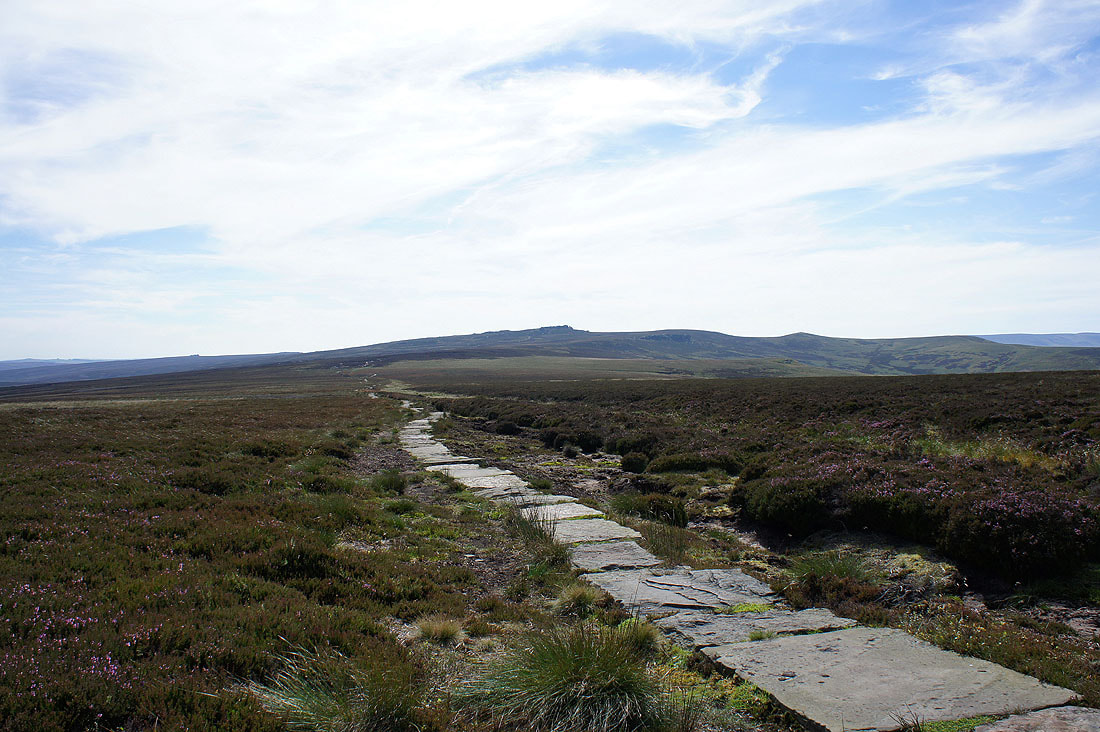
Derwent Edge ahead
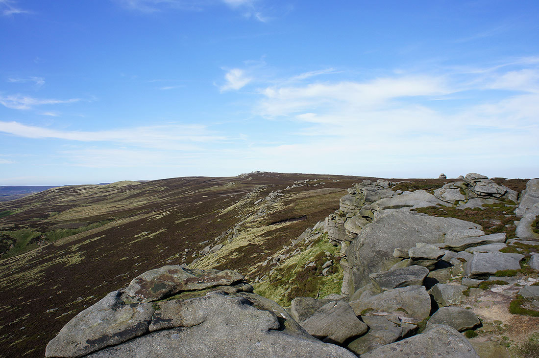
I've left Back Tor to head down Derwent Edge. Back Tor from Dovestone Tor.
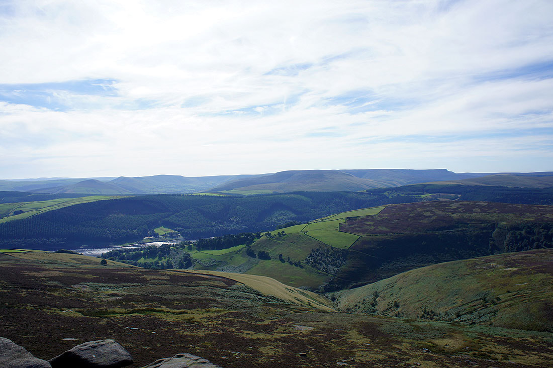
The Vale of Edale and Kinder Scout
Bleaklow
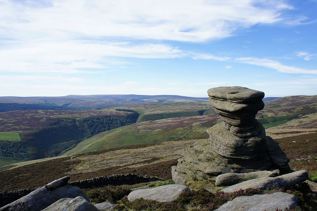
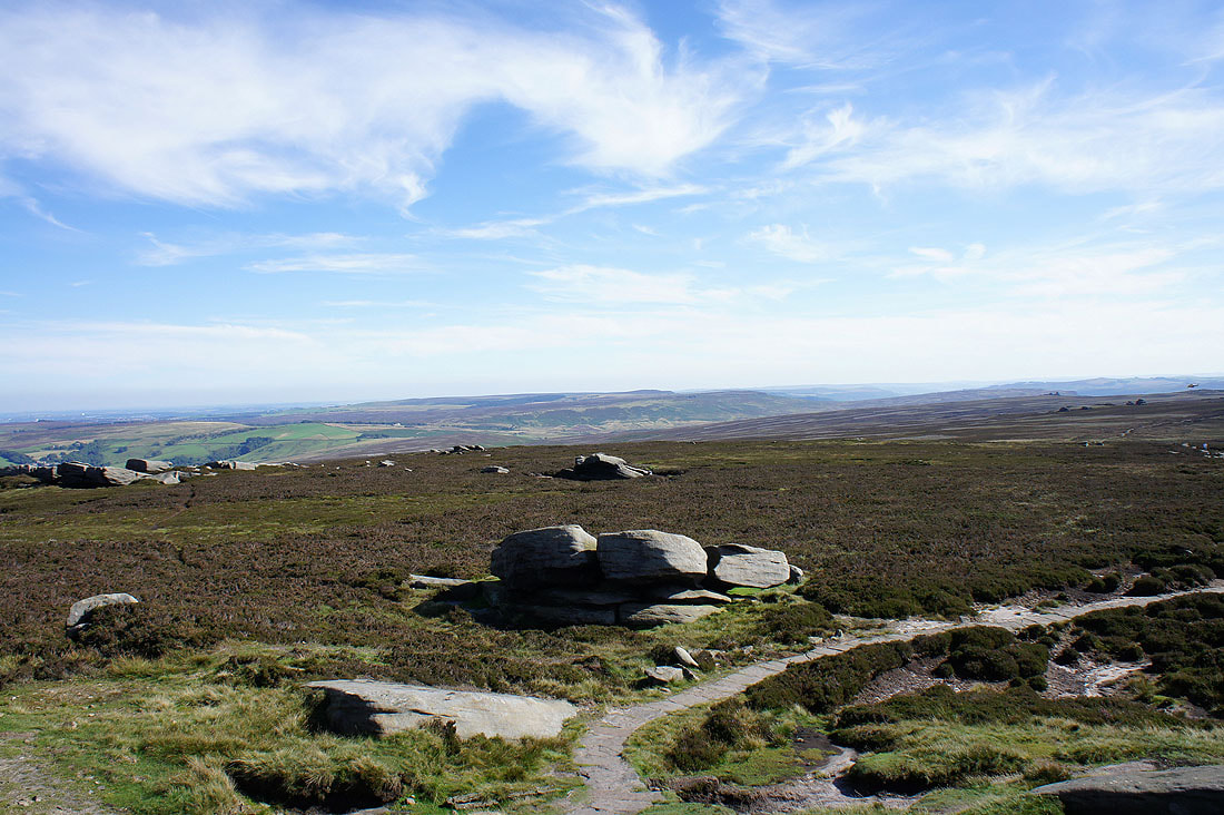
A little further down Derwent Edge and the Salt Cellar makes an interesting subject
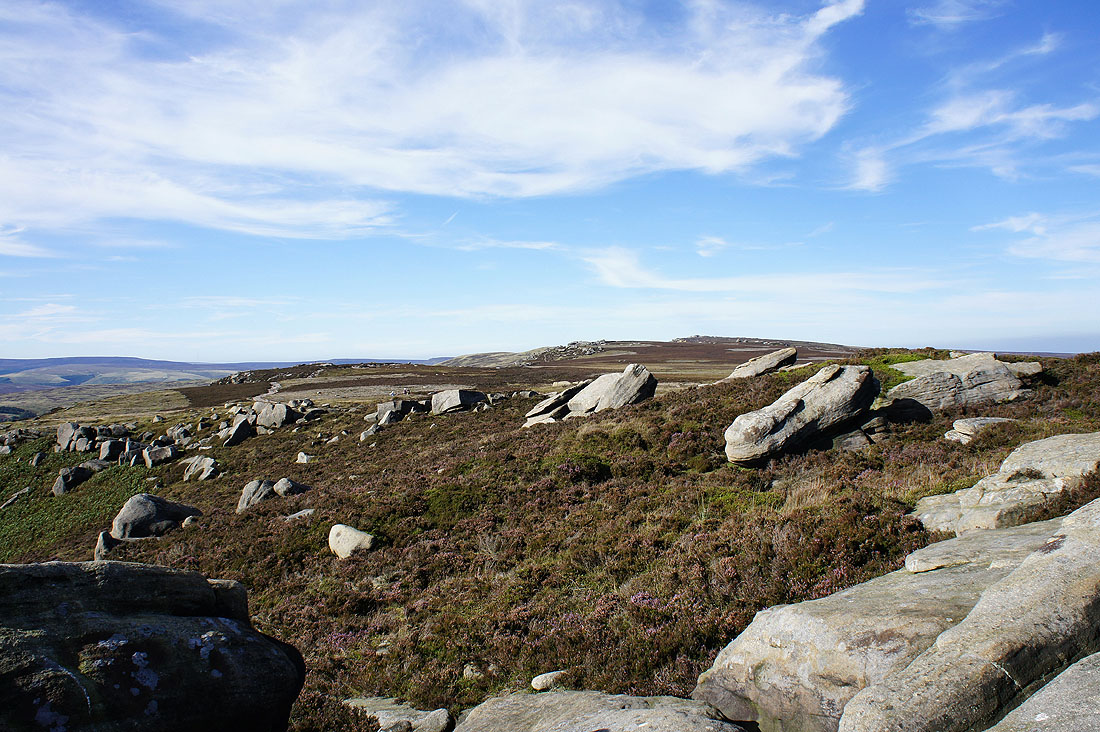
Looking back up Derwent Edge from White Tor. Boulders galore.
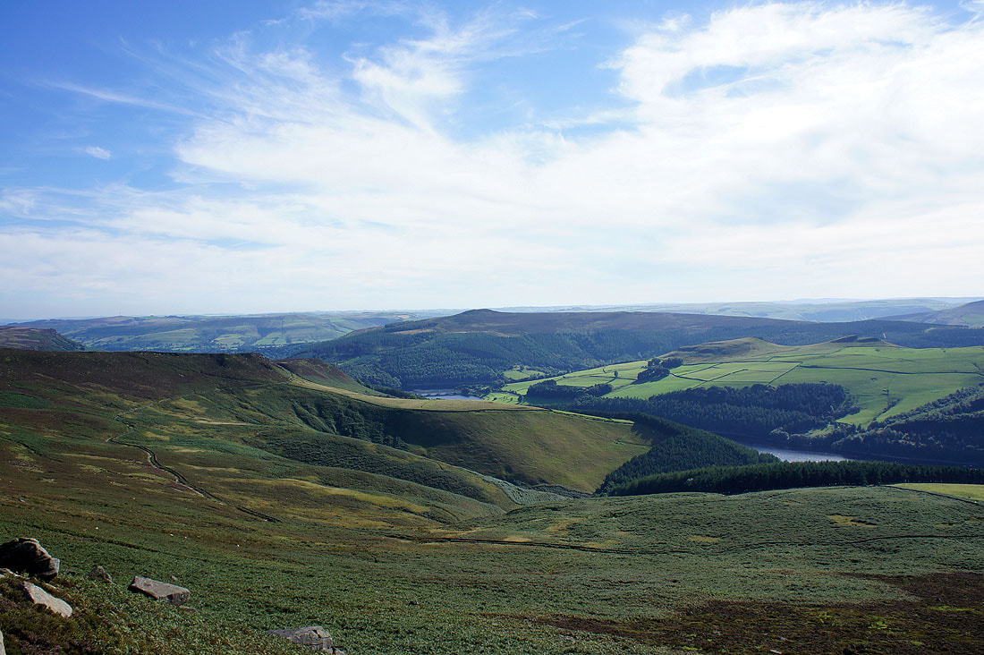
Win Hill across the Woodlands valley. The path back can be seen on the hillside below.
Bleaklow from White Tor
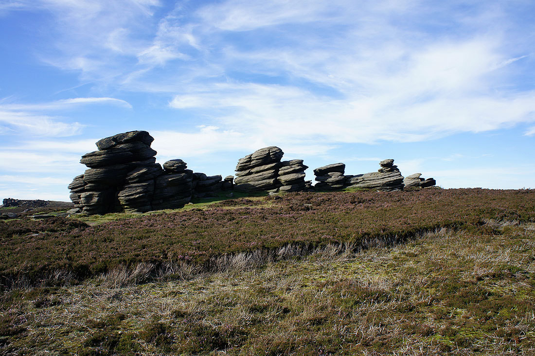
Continuing down Derwent Edge and past the Wheel Stones
Win Hill from the final stop of the day, Whinstone Lee Tor
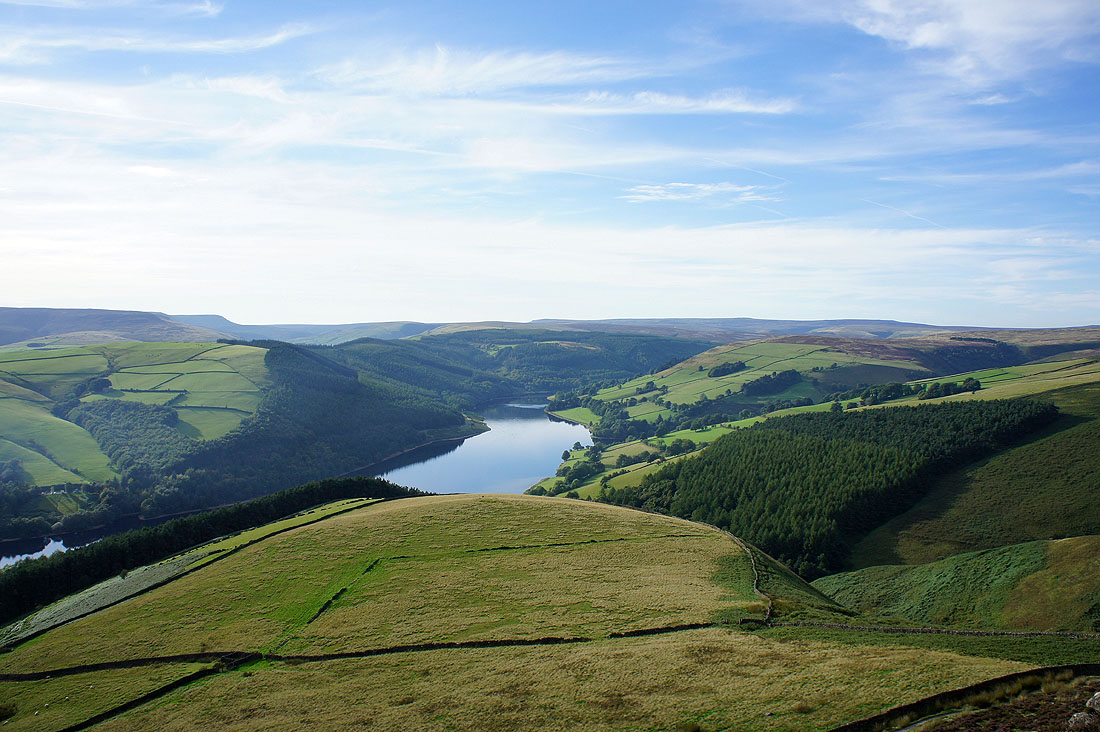
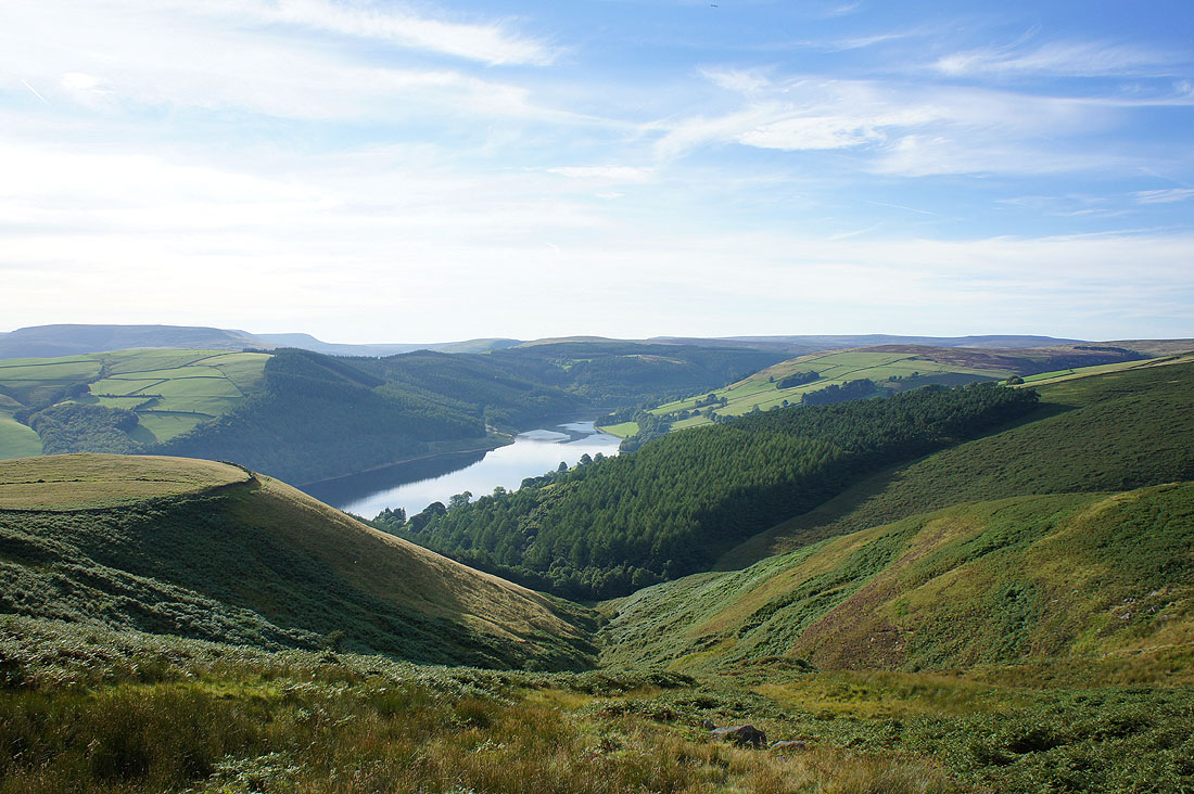
Ladybower Reservoir below
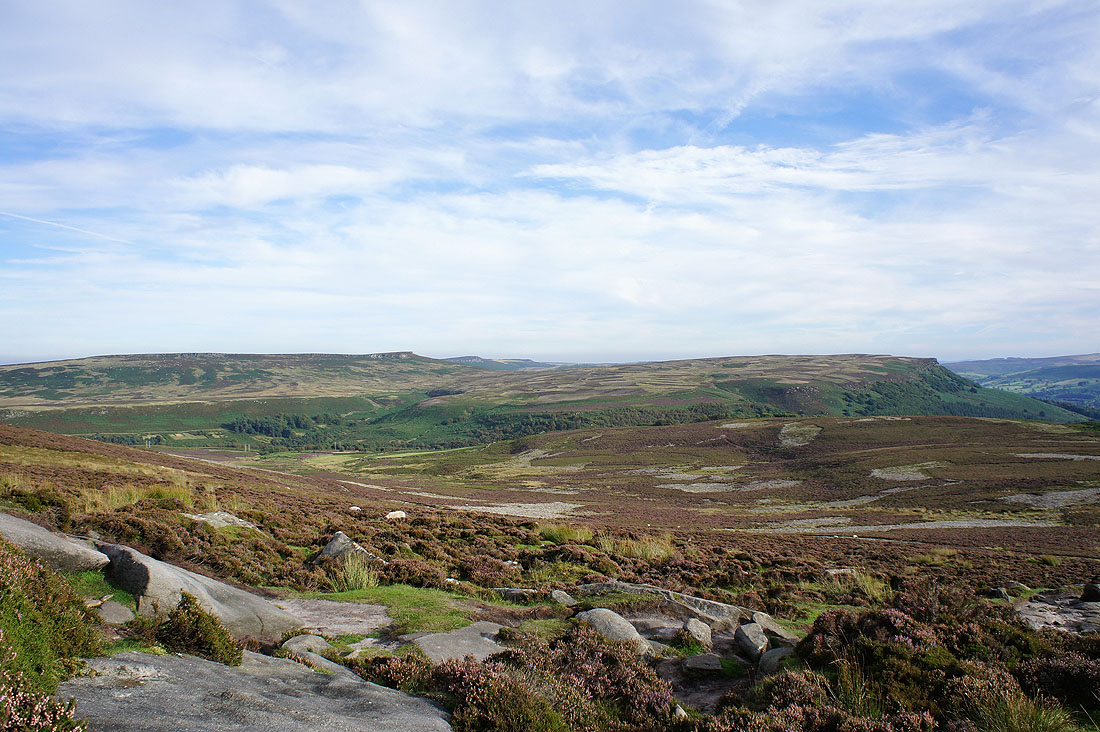
Stanage Edge on the left and Bamford Edge on the right
Passing above Grainfoot Clough
Down by Ladybower Reservoir but I still have a bit of a trek back