20th December 2020 - Thieveley Pike and Black Scout
Walk Details
Distance walked: 10.2 miles
Total ascent: 1684 ft
OS map used: OL21 - South Pennines
Time taken: 5 hrs
Route description: Maidens Cross car park, The Long Causeway-Burnley Way-Pennine Bridleway-Holme Chapel-Pennine Bridleway-Deerplay Moor-Thieveley Pike-Heald Top Farm-Green's Clough-Portsmouth-Burnley Way-Whitaker Naze-Black Scout-Cartridge Pasture-Maidens Cross car park, The Long Causeway
My walk this weekend was a little further away from home than recent ones have been, but not far of course, on the moors to the south and east of Burnley. With hindsight I picked the wrong day. Yesterday was windier, but it was also sunnier and there were fewer showers. My waterproofs were certainly tested by the showers that passed through, though there was a little winter sunshine to make up for them. The route that I did was a variation of one that I've done several times, taking in the moorland of Thieveley Pike and Black Scout around Cliviger, but this time I started from the Maidens Cross car park by the road of The Long Causeway, which was a first. I think it's a starting point that'll use again, as I can see quite a few routes that can be done from there.
From the Maidens Cross car park by The Long Causeway I took the footpath from the back of the car park and followed it until I reached the Pennine Bridleway. I then turned left and followed the Pennine Bridleway southwest across The Long Causeway, down to Holme Chapel, across the A646, under the Burnley to Todmorden railway line, then northwest and southwest up to the A671. Here I left the Pennine Bridleway for another bridleway up onto Deerplay Moor and to the trig point on Thieveley Pike. After a break for lunch sheltering in a grassy hollow, I continued to follow the bridleway southeast towards Heald Moor and along its southern slopes to reach Heald Top Farm. From Heald Top Farm I took a track northeast towards Green's Clough, then the footpath above Green's Clough and Beater Clough down to Portsmouth. After crossing the A646 and the Burnley to Todmorden railway line I took a footpath up onto Whitaker Naze and then up onto and northwest across Black Scout. When I reached a track and bridleway on the right I followed it north past the wind turbines of Coal Clough Wind Farm to the road of The Long Causeway and the Maidens Cross car park.
Route map
© Crown copyright. All rights reserved. License number PU 100034184.
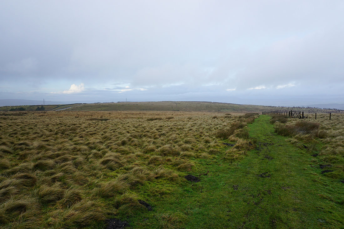
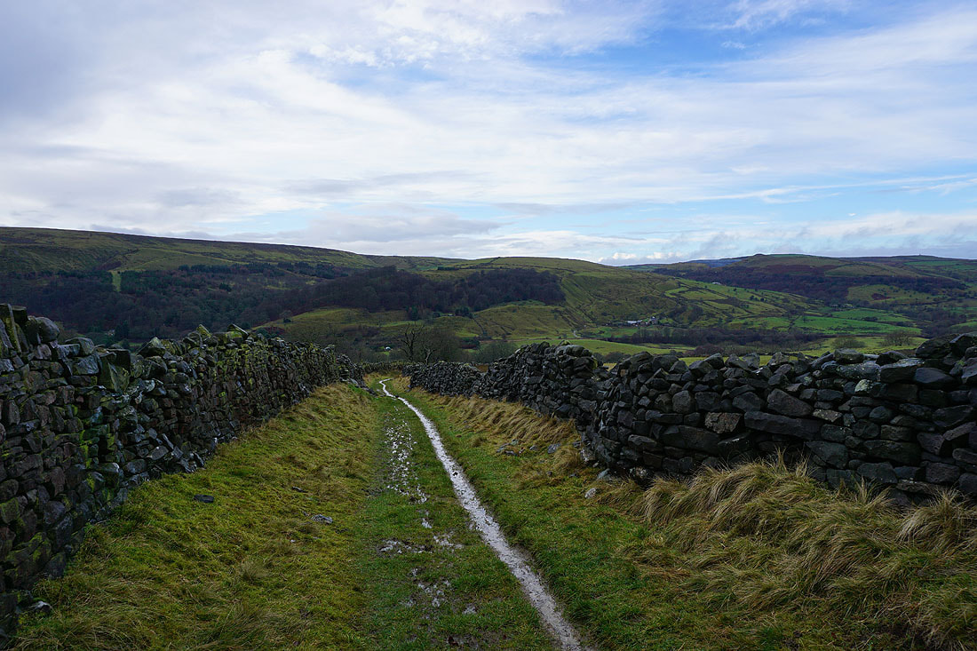
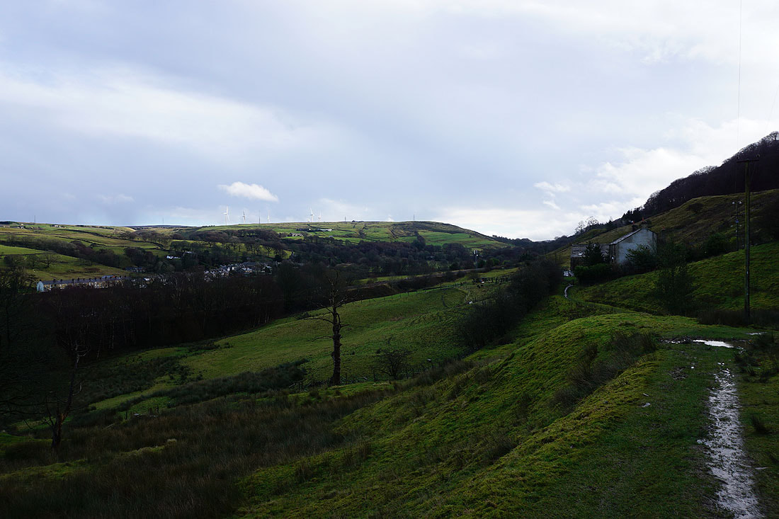
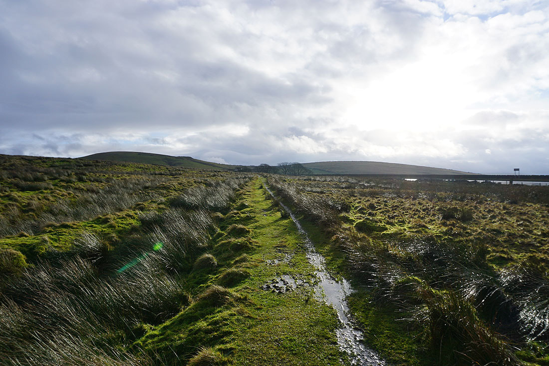
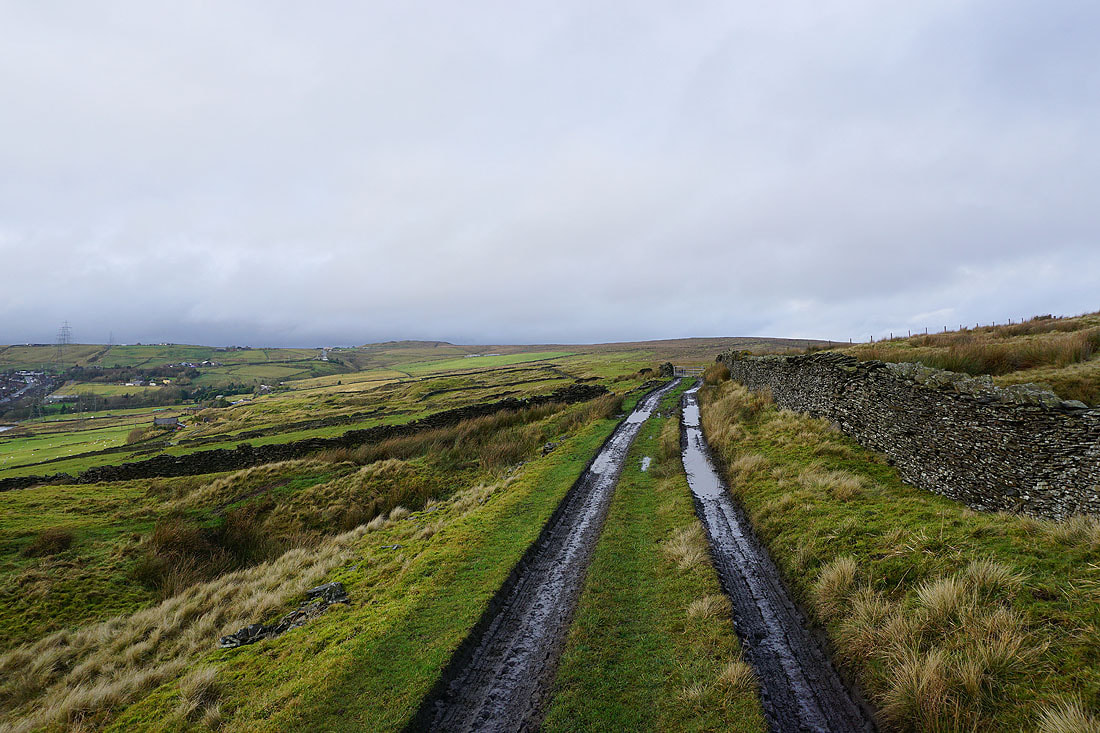
It's raining as I set off on the Pennine Bridleway by the road of The Long Causeway..
As I follow the Pennine Bridleway down to Holme Chapel the shower clears and the skies brighten...
After crossing the A646 in Holme Chapel the Pennine Bridleway runs along beside the Burnley to Todmorden railway line with Pendle Hill in the distance..
Looking back to Holme Chapel
Pendle Hill and Burnley as I follow the Pennine Bridleway uphill
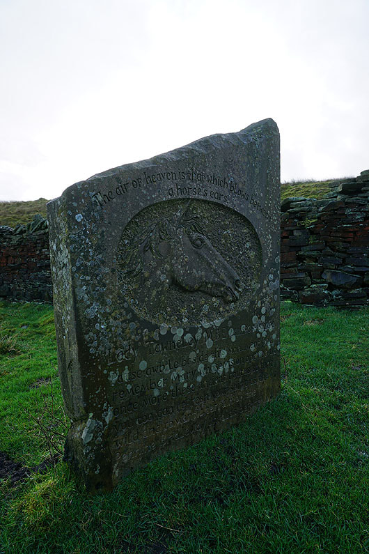
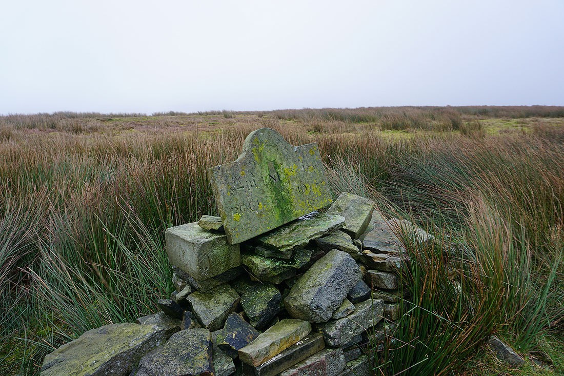
A memorial to Lady Mary Towneley, whose vision inspired the creation of the Pennine Bridleway
Looking back to Stone House Edge from the Pennine Bridleway up to the A671
Deerplay Hill and Bent Hill from the Pennine Bridleway by the A671
Heading up onto Deerplay Moor
A welcome bit of sunshine on the moors, which isn't set to last
Boulsworth Hill in the distance as I cross the top of Black Clough
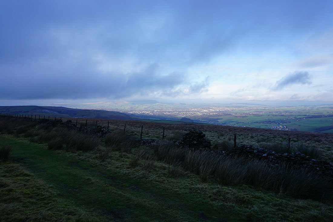
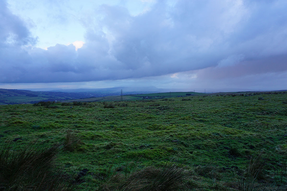
Pendle Hill and Burnley from Thieveley Pike
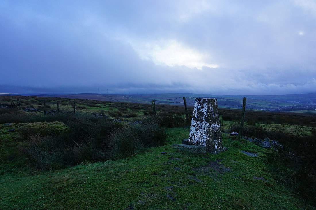
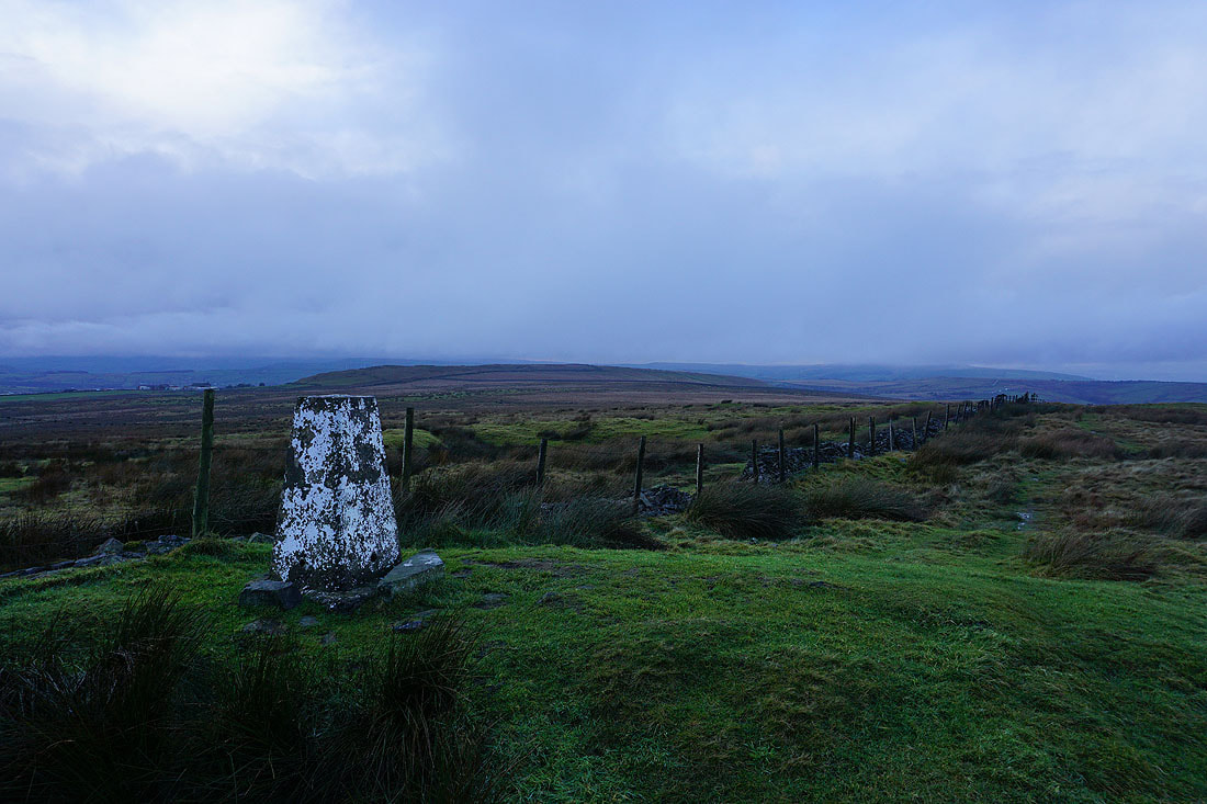
At the trig point on Thieveley Pike
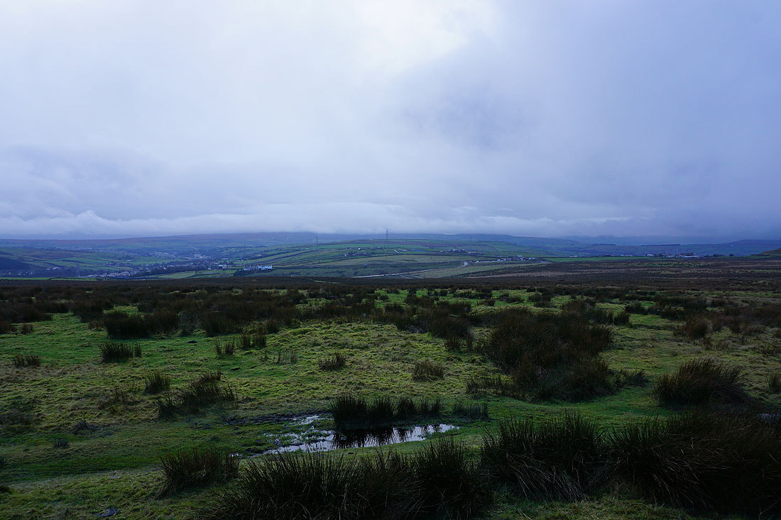
The moorland surrounding Rossendale is shrouded in low cloud..
After a break for lunch sheltering in a grassy hollow from the rain, I leave a windswept and wet Thieveley Pike behind
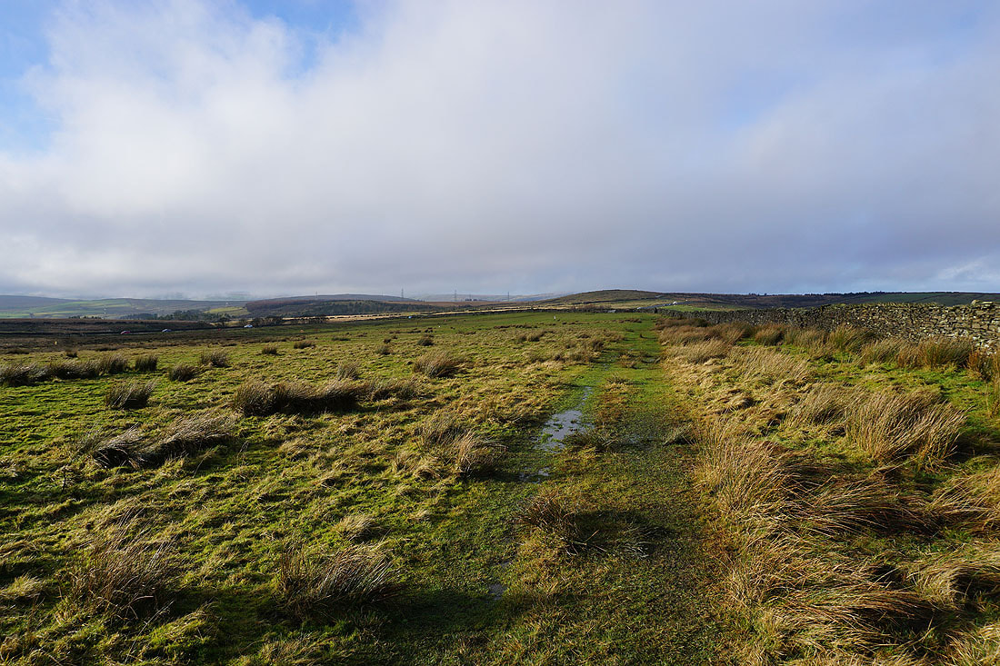
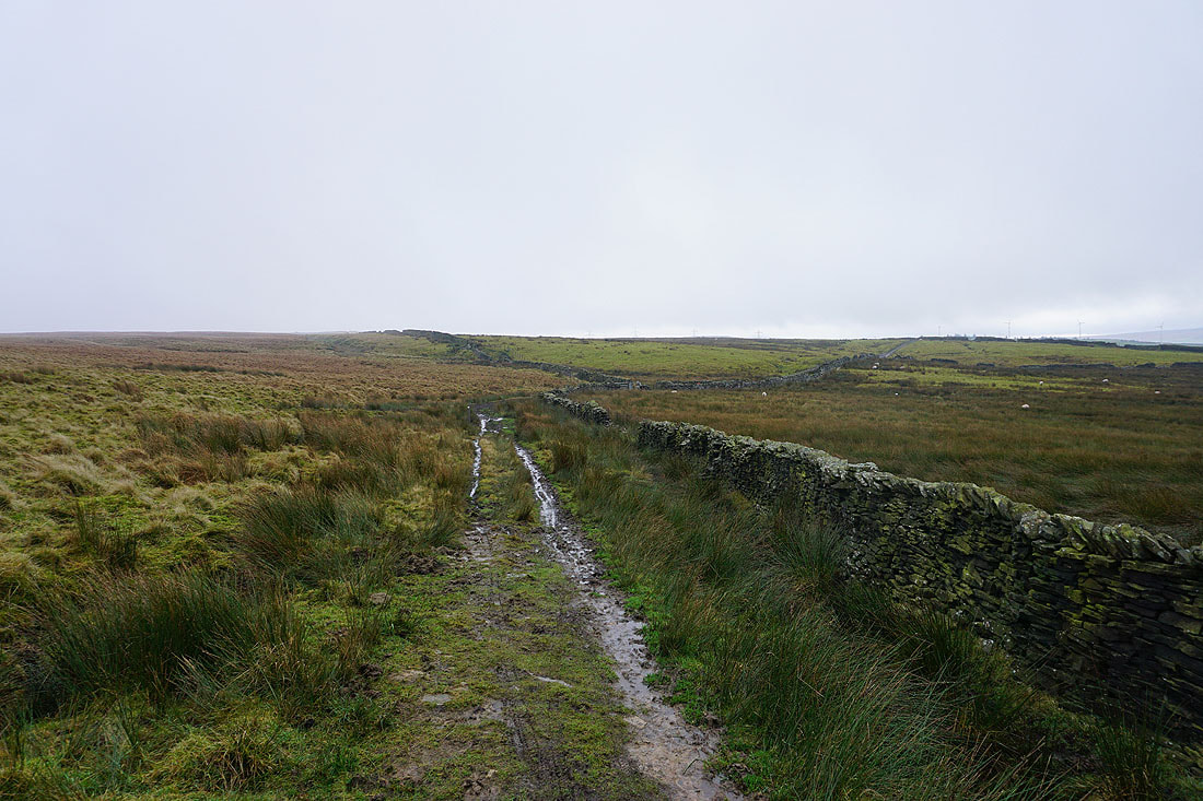
The bridleway that I'm on is part of the Limers Gate route, an ancient highway running from Rochdale to Clitheroe
Gloomy skies over Rossendale
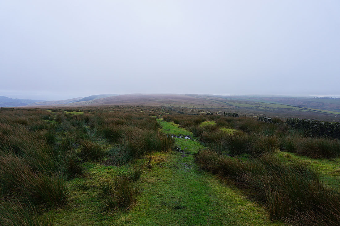
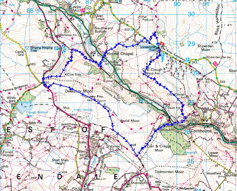
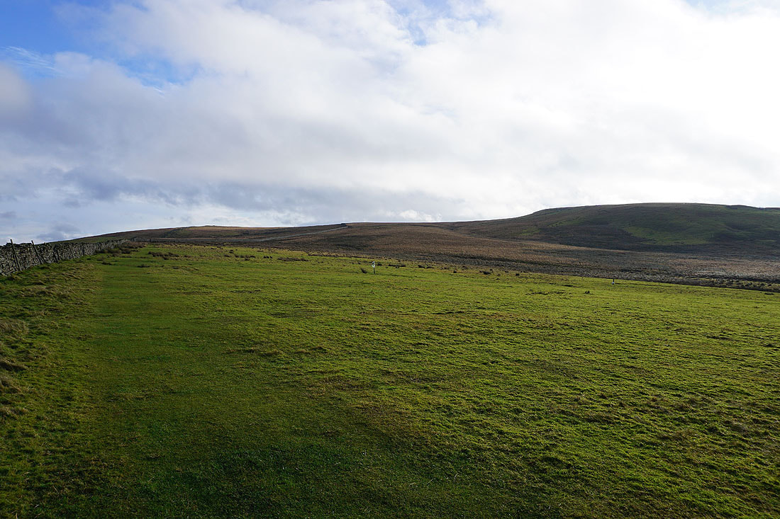
Heald Moor ahead
The bridleway takes to the southern side of Heald Moor
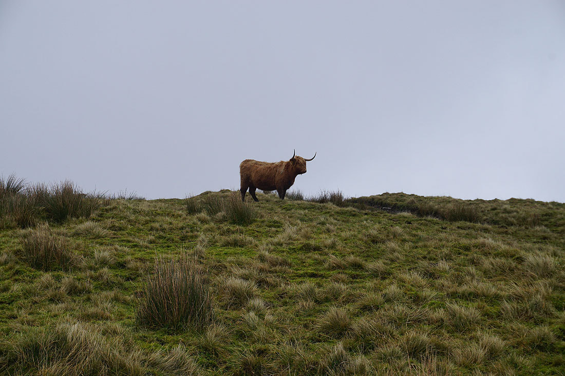
I'm being watched
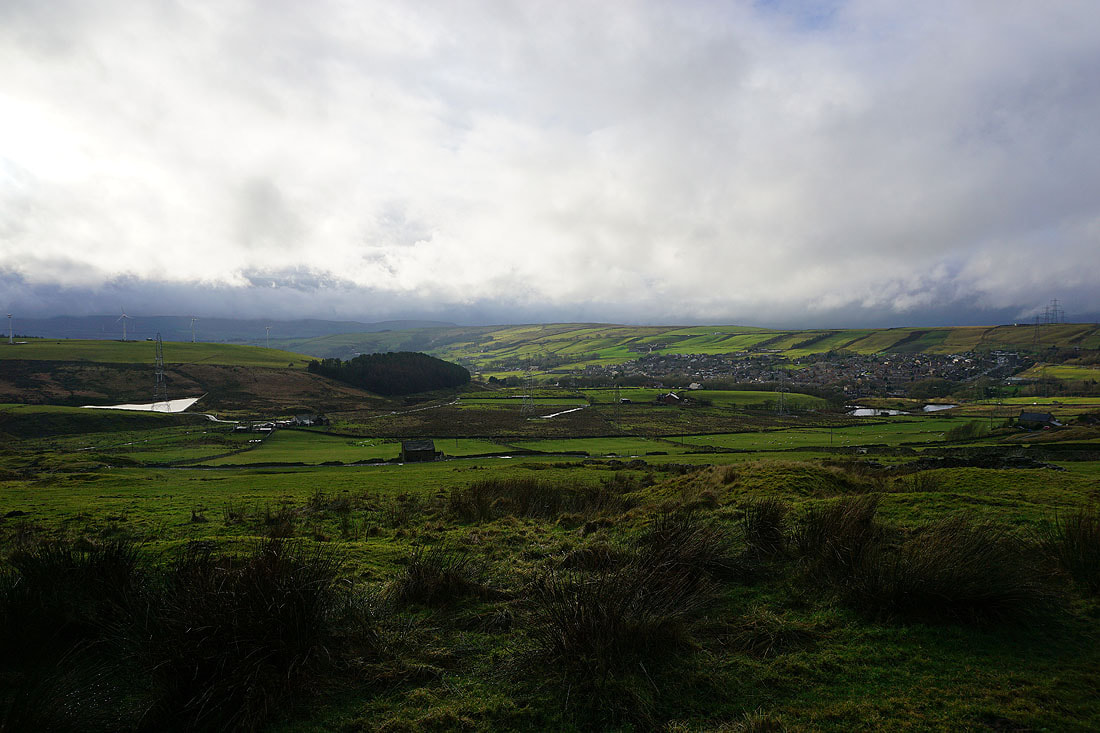
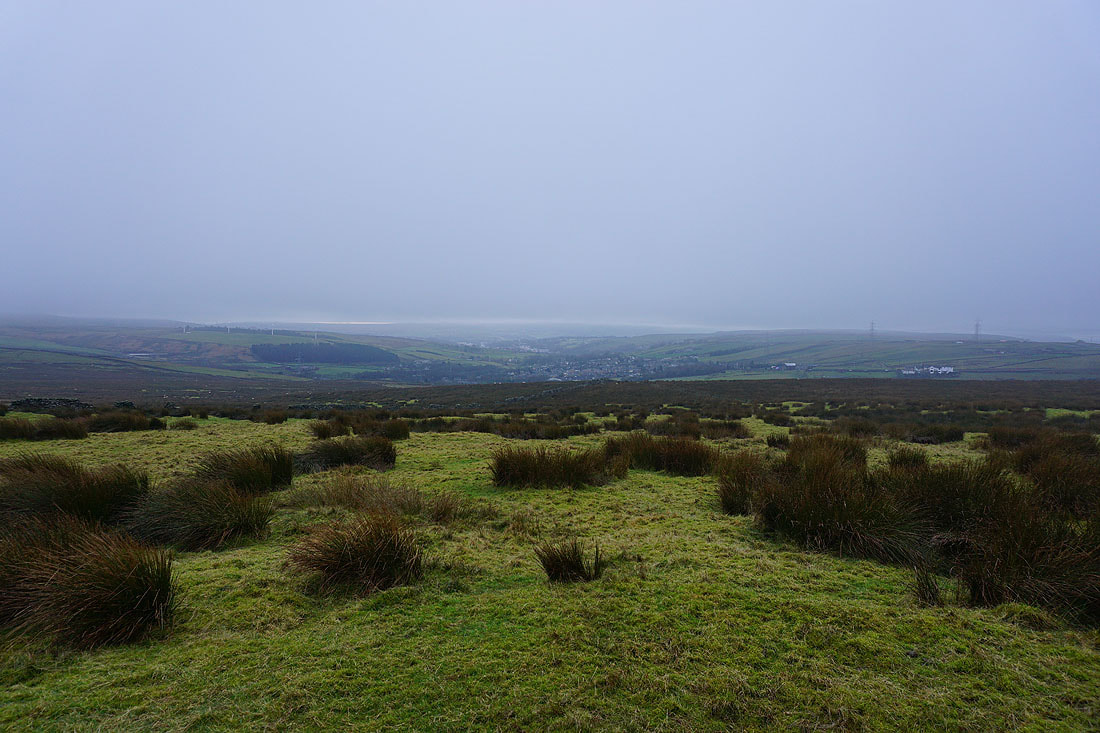
A bit of sunshine makes all the difference as the cloud briefly breaks up over Rossendale and the village of Weir
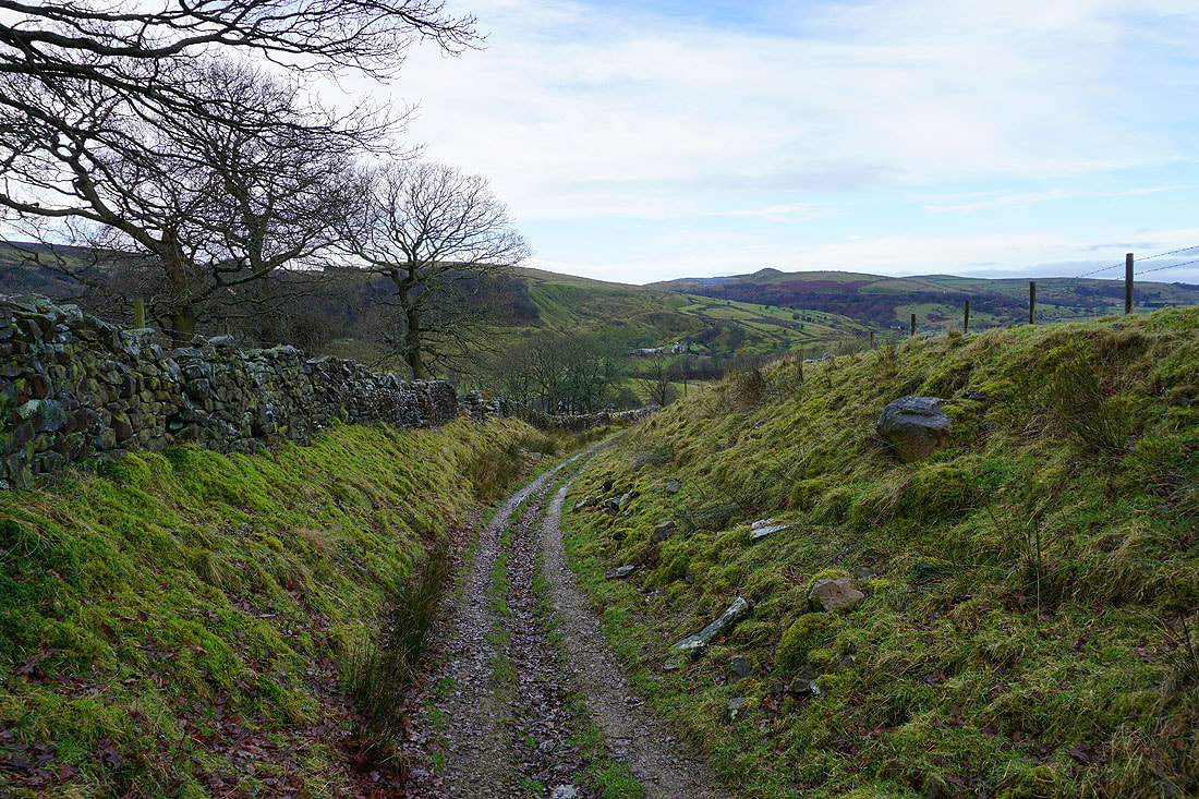
On the bridleway beneath Heald Moor to Heald Top Farm..
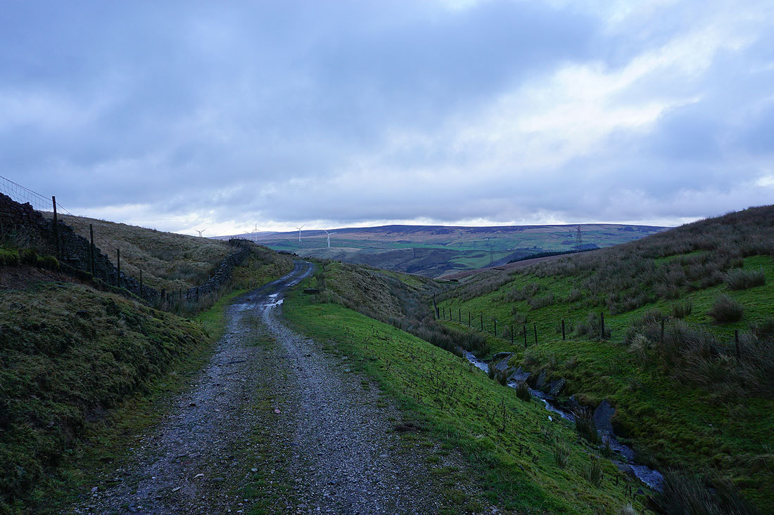
From Heald Top Farm I take the track towards Green's Clough
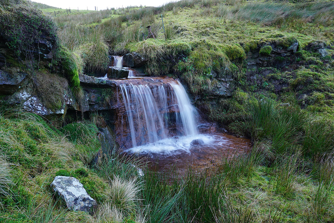
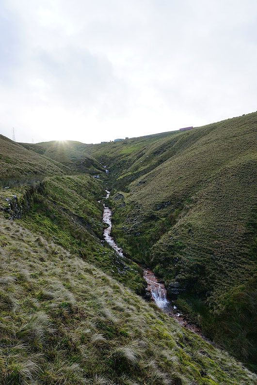
A little waterfall just off the path was worth a visit
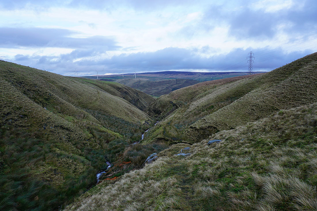
Following the footpath down by a steep sided Green's Clough
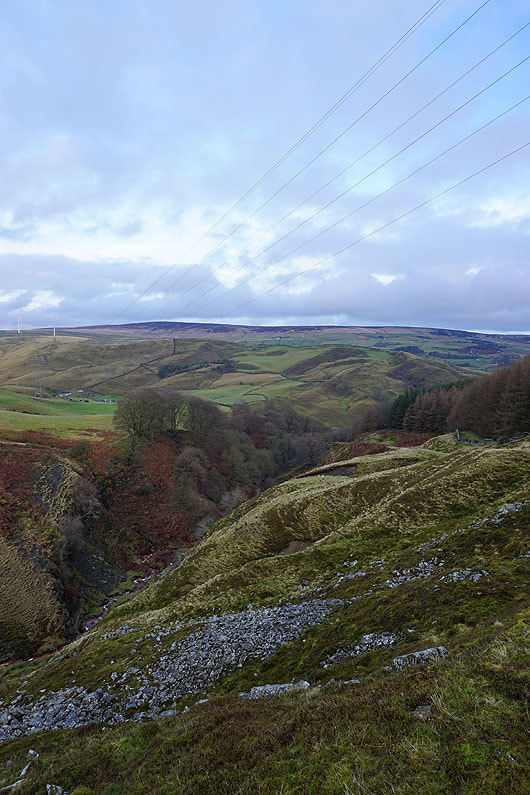
Looking back up Green's Clough
|
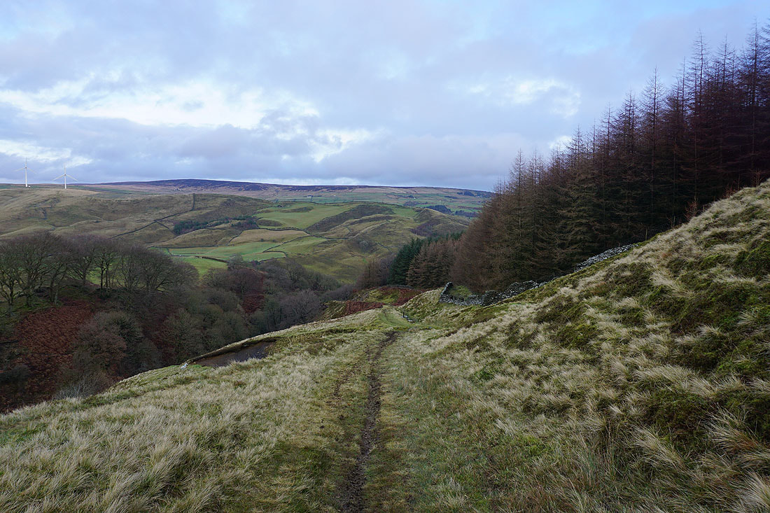
Lower down Green's Clough becomes the wooded Beater Clough
|
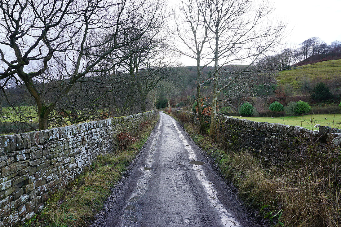
Heading down by Beater Clough to Portsmouth
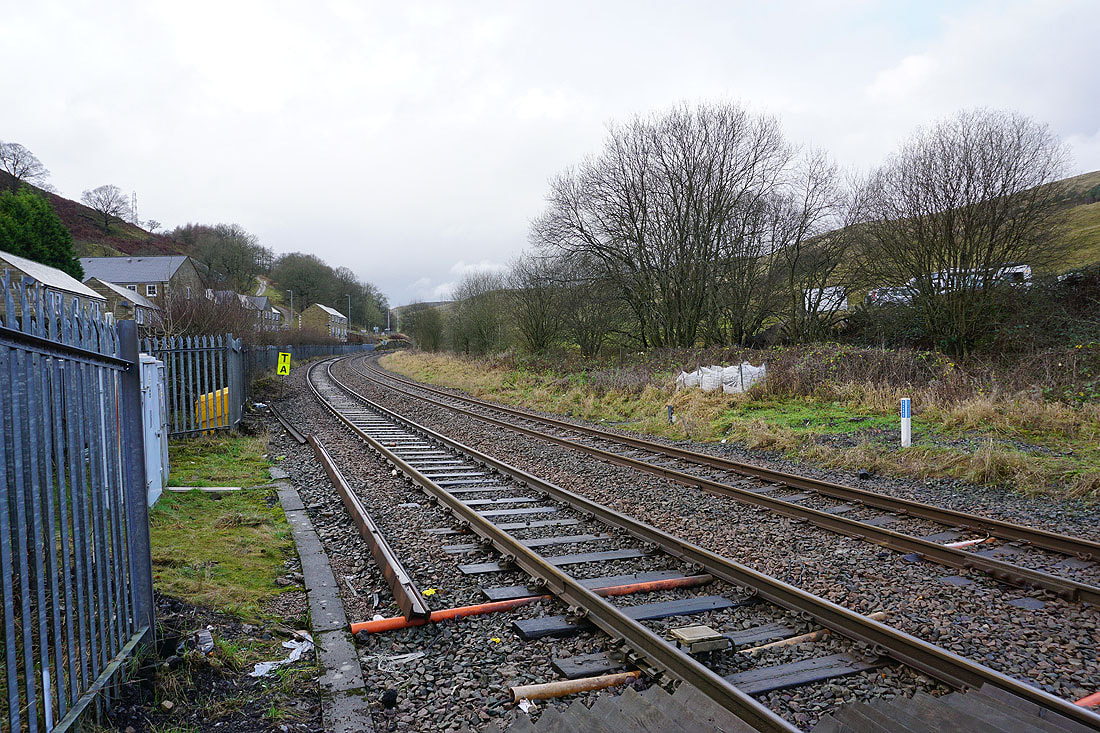
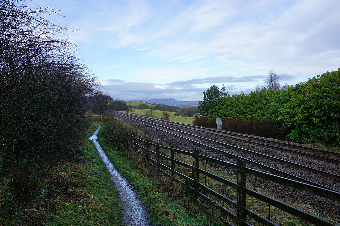
Back across the Burnley to Todmorden railway line
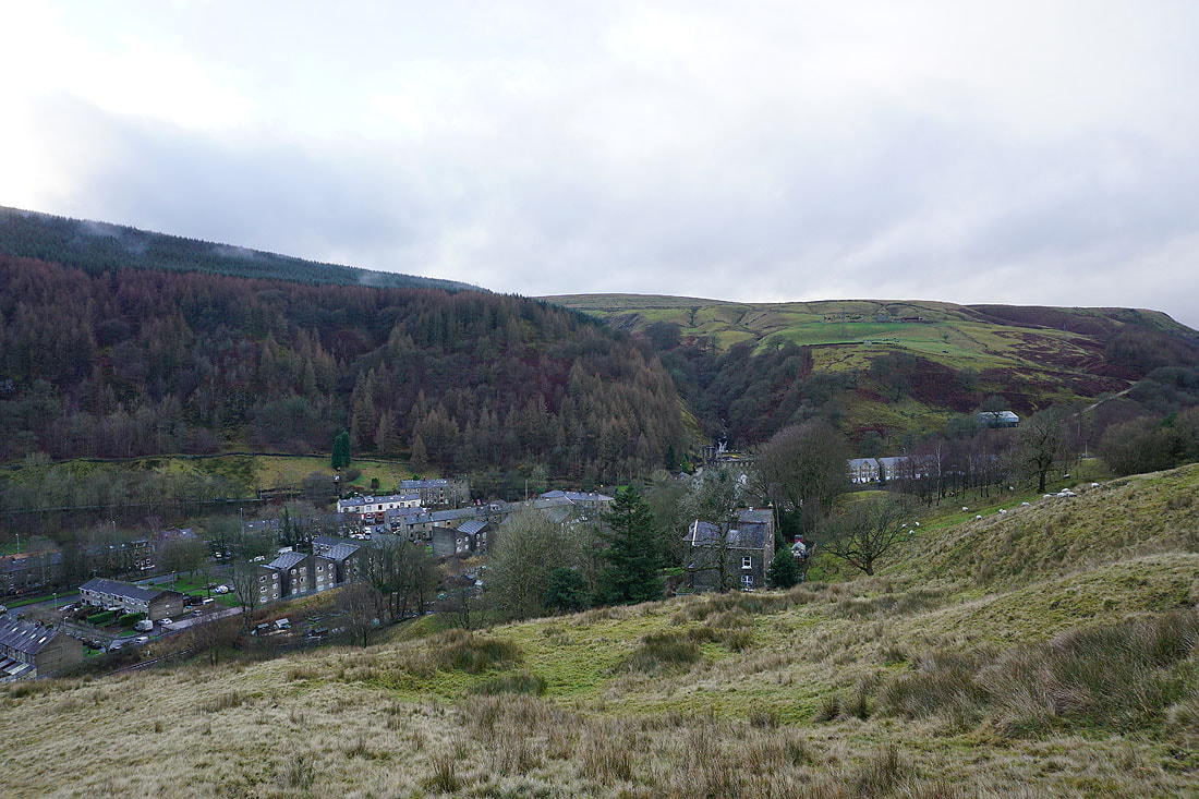
Looking down on Portsmouth as I head up Whitaker Naze
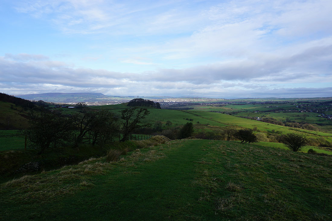
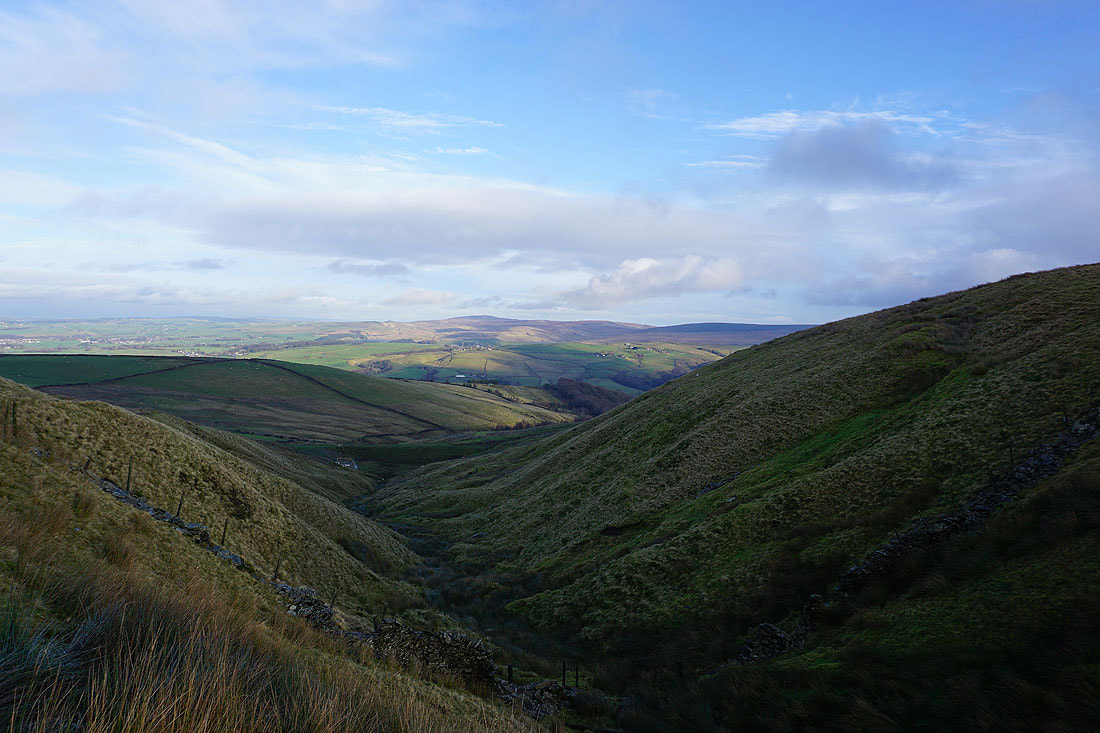
Looking down Calderdale towards Todmorden from Whitaker Naze
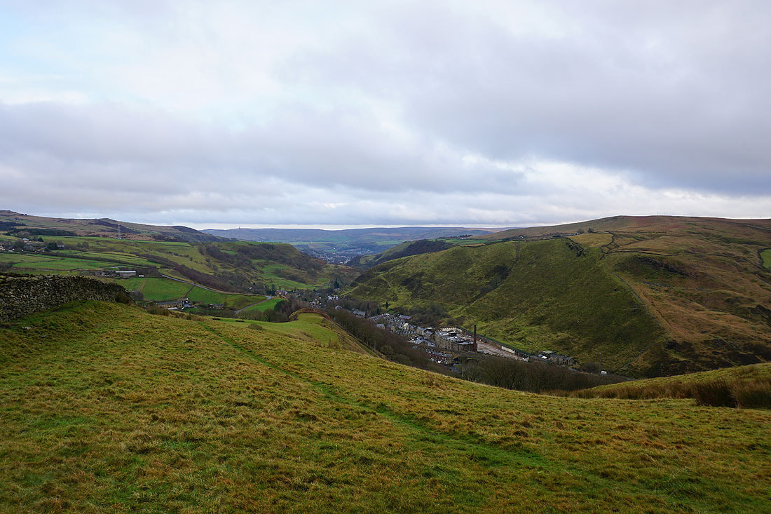
Thieveley Scout and Cliviger
Lower Moor and Flower Scar Hill from Black Scout
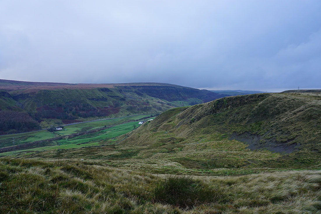
Looking across Cliviger to Thieveley Scout from Black Scout
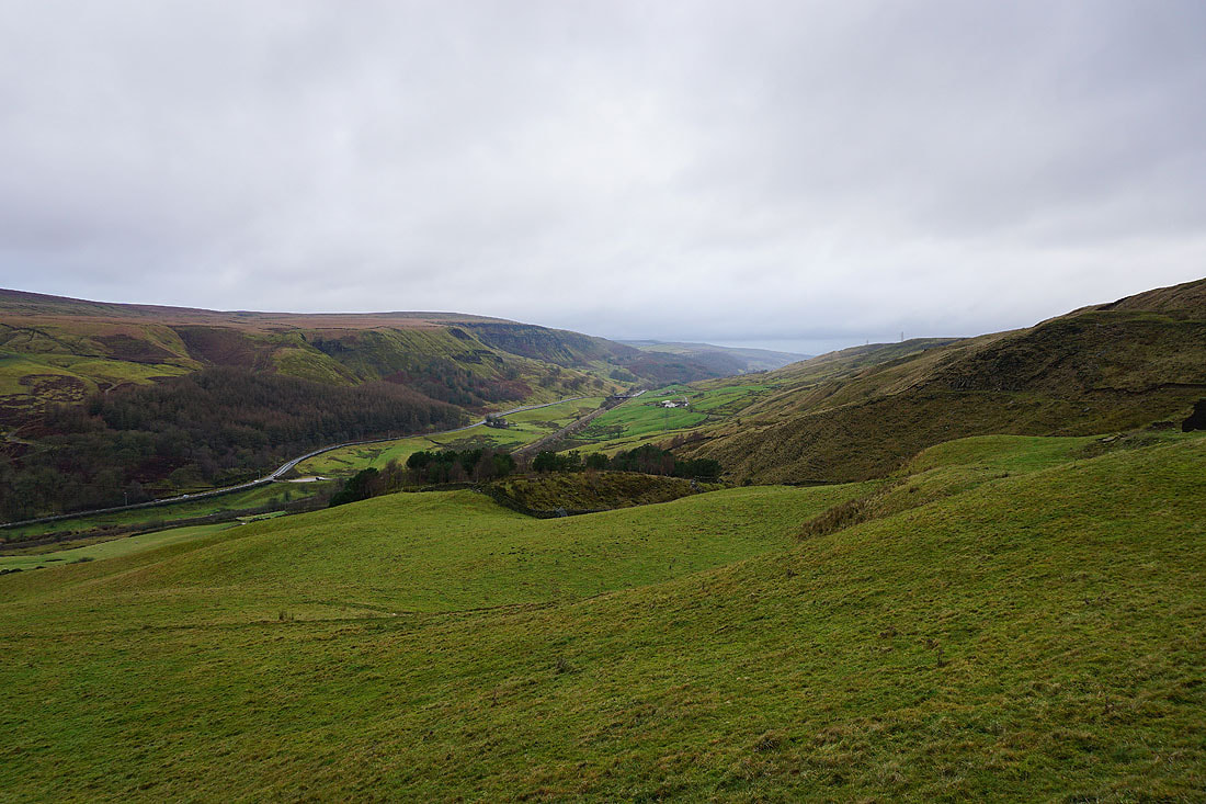
A cloud topped Pendle Hill in the distance from Cartridge Pasture
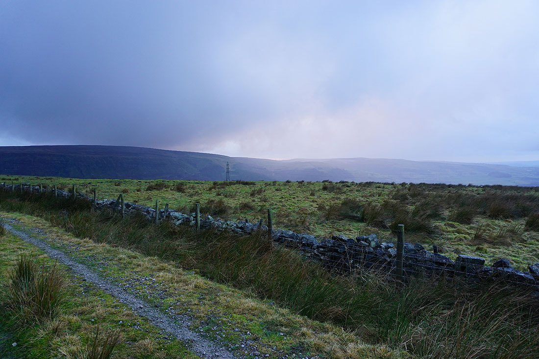
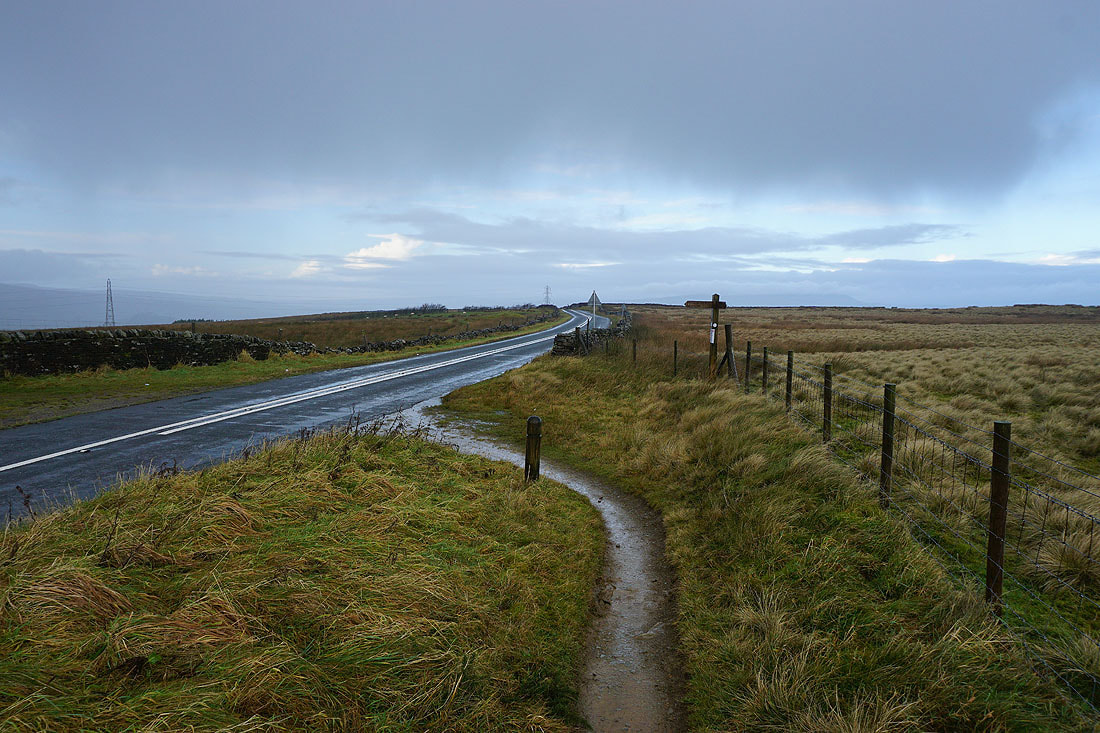
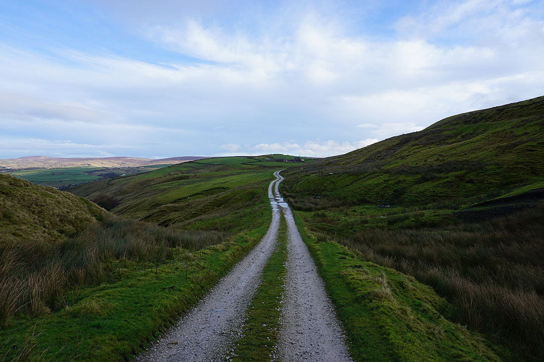
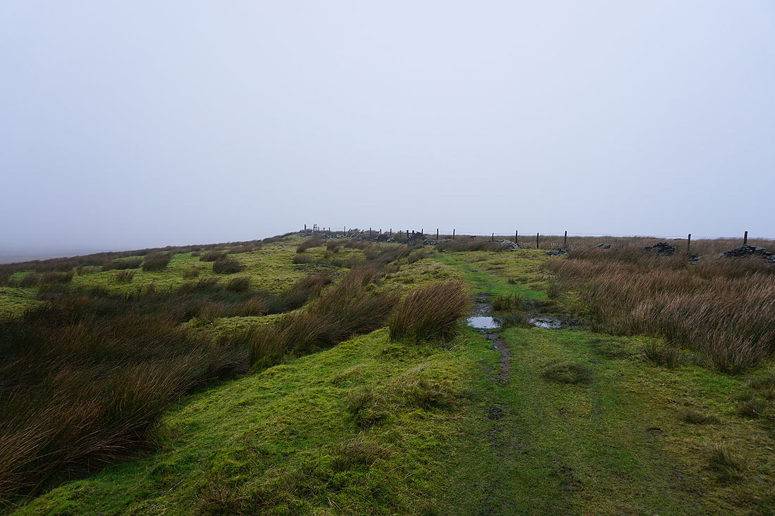
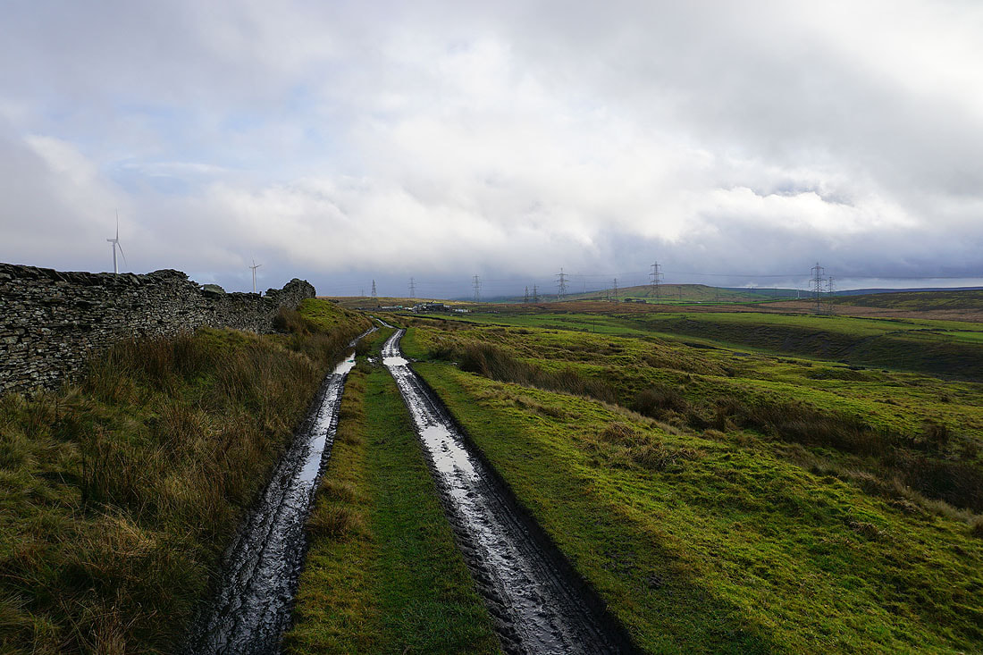
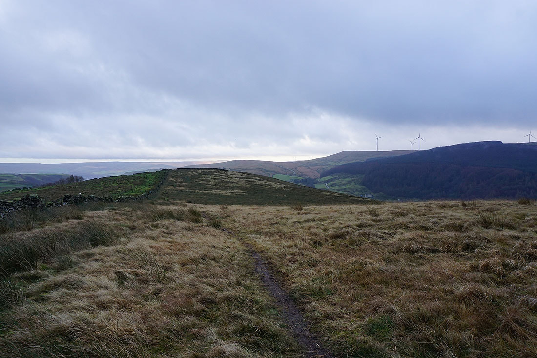
There's another shower on the way as I follow the bridleway back to the car park by The Long Causeway. Fortunately I don't have far to go.