25th May 2022 - Castle Crag to Grange Fell
Walk Details
Distance walked: 8.2 miles
Total ascent: 2126 ft
OS map used: OL4 - The English Lakes, Northwestern area
Time taken: 6 hrs
Route description: Rosthwaite-Cumbria Way-Lingy Bank-Castle Crag-Low Hows Wood-Cumbria Way-River Derwent-Borrowdale Road-High Lodore-Watendlath Beck-Watendlath-Puddingstone Bank-Grange Fell-Puddingstone Bank-Rosthwaite
A look outside first thing this morning confirmed that the forecast of rain had proved to be accurate. Fortunately it was set to clear late in the morning and brighten up to give a fine afternoon, though with it being windy, especially so higher up. That meant coming up with a route that was mostly quite low level and didn't venture too high up. After looking at the map of Borrowdale I decided on a walk starting from Rosthwaite that would take in Castle Crag, then cross the dale and visit the hamlet of Watendlath, and return to Rosthwaite via the bridleway across Puddingstone Bank with a detour up to the summit of Brund Fell, the high point of Grange Fell. I set off from Rosthwaite at 1100 under dull and overcast skies, though it had stopped raining. By the time I reached Castle Crag the cloud was starting to break up, and it continued to do so into the afternoon to give a mixture of fair weather clouds and sunny intervals. Just one Wainwright, Castle Crag, was added to my second round total.
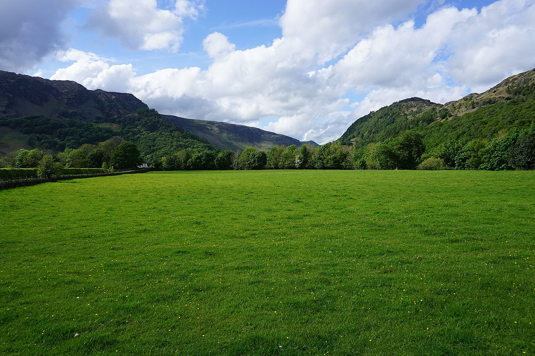
From the NT car park in Rosthwaite I took the track west past Yew Tree Farm and onto the Cumbria Way, which I followed north to the bridge over the River Derwent. Soon after crossing the bridge I left the Cumbria Way for a footpath up the hillside of Lingy Bank to reach the Honister to Grange bridleway above, which I followed north towards Castle Crag. Once below Castle Crag I took the path up to the summit, returning to the bridleway by the same route. I then followed the bridleway north down through Low Hows Wood and towards Grange before leaving it to join the Cumbria Way again; along the track to Hollows Farm, then a footpath to the Grange to Manesty road, which I walked north along before taking a footpath on the right, east to a footbridge over the River Derwent and up to the Borrowdale Road. After a short walk south by the road I reached a public footpath on the left at Shepherd's Cottage (just before the Borrowdale Hotel), which took me up through woodland to Watendlath Beck, and then I followed a footpath by the beck's west bank up to the hamlet of Watendlath. From Watendlath I took the bridleway towards Rosthwaite, and on reaching its summit on Puddingstone Bank took a path on the right up to the top of Brund Fell, the high point of Grange Fell. After taking in the view I returned to the bridleway and followed it down to Rosthwaite, where I crossed the Borrowdale Road and made my way back to the car park.
Total ascent: 2126 ft
OS map used: OL4 - The English Lakes, Northwestern area
Time taken: 6 hrs
Route description: Rosthwaite-Cumbria Way-Lingy Bank-Castle Crag-Low Hows Wood-Cumbria Way-River Derwent-Borrowdale Road-High Lodore-Watendlath Beck-Watendlath-Puddingstone Bank-Grange Fell-Puddingstone Bank-Rosthwaite
A look outside first thing this morning confirmed that the forecast of rain had proved to be accurate. Fortunately it was set to clear late in the morning and brighten up to give a fine afternoon, though with it being windy, especially so higher up. That meant coming up with a route that was mostly quite low level and didn't venture too high up. After looking at the map of Borrowdale I decided on a walk starting from Rosthwaite that would take in Castle Crag, then cross the dale and visit the hamlet of Watendlath, and return to Rosthwaite via the bridleway across Puddingstone Bank with a detour up to the summit of Brund Fell, the high point of Grange Fell. I set off from Rosthwaite at 1100 under dull and overcast skies, though it had stopped raining. By the time I reached Castle Crag the cloud was starting to break up, and it continued to do so into the afternoon to give a mixture of fair weather clouds and sunny intervals. Just one Wainwright, Castle Crag, was added to my second round total.
From the NT car park in Rosthwaite I took the track west past Yew Tree Farm and onto the Cumbria Way, which I followed north to the bridge over the River Derwent. Soon after crossing the bridge I left the Cumbria Way for a footpath up the hillside of Lingy Bank to reach the Honister to Grange bridleway above, which I followed north towards Castle Crag. Once below Castle Crag I took the path up to the summit, returning to the bridleway by the same route. I then followed the bridleway north down through Low Hows Wood and towards Grange before leaving it to join the Cumbria Way again; along the track to Hollows Farm, then a footpath to the Grange to Manesty road, which I walked north along before taking a footpath on the right, east to a footbridge over the River Derwent and up to the Borrowdale Road. After a short walk south by the road I reached a public footpath on the left at Shepherd's Cottage (just before the Borrowdale Hotel), which took me up through woodland to Watendlath Beck, and then I followed a footpath by the beck's west bank up to the hamlet of Watendlath. From Watendlath I took the bridleway towards Rosthwaite, and on reaching its summit on Puddingstone Bank took a path on the right up to the top of Brund Fell, the high point of Grange Fell. After taking in the view I returned to the bridleway and followed it down to Rosthwaite, where I crossed the Borrowdale Road and made my way back to the car park.
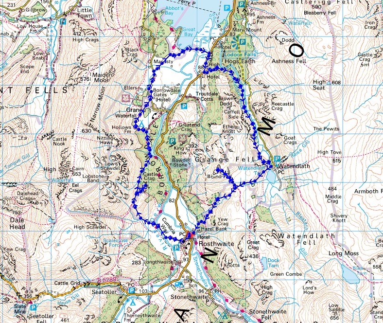
Route map
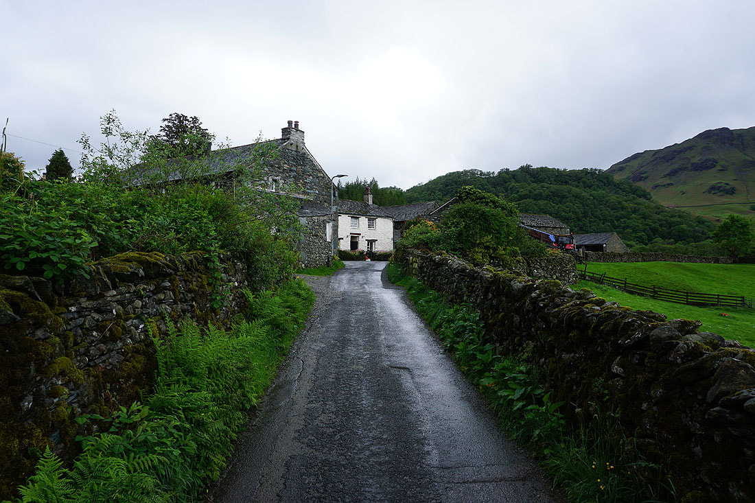
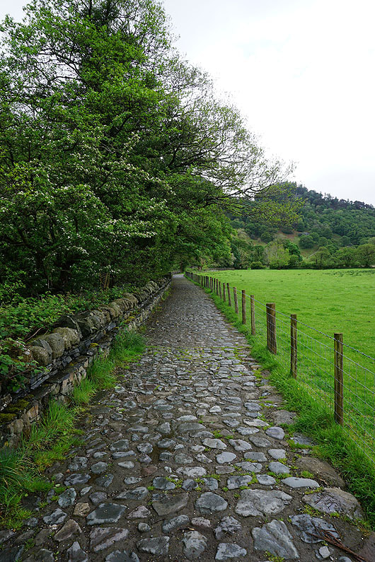
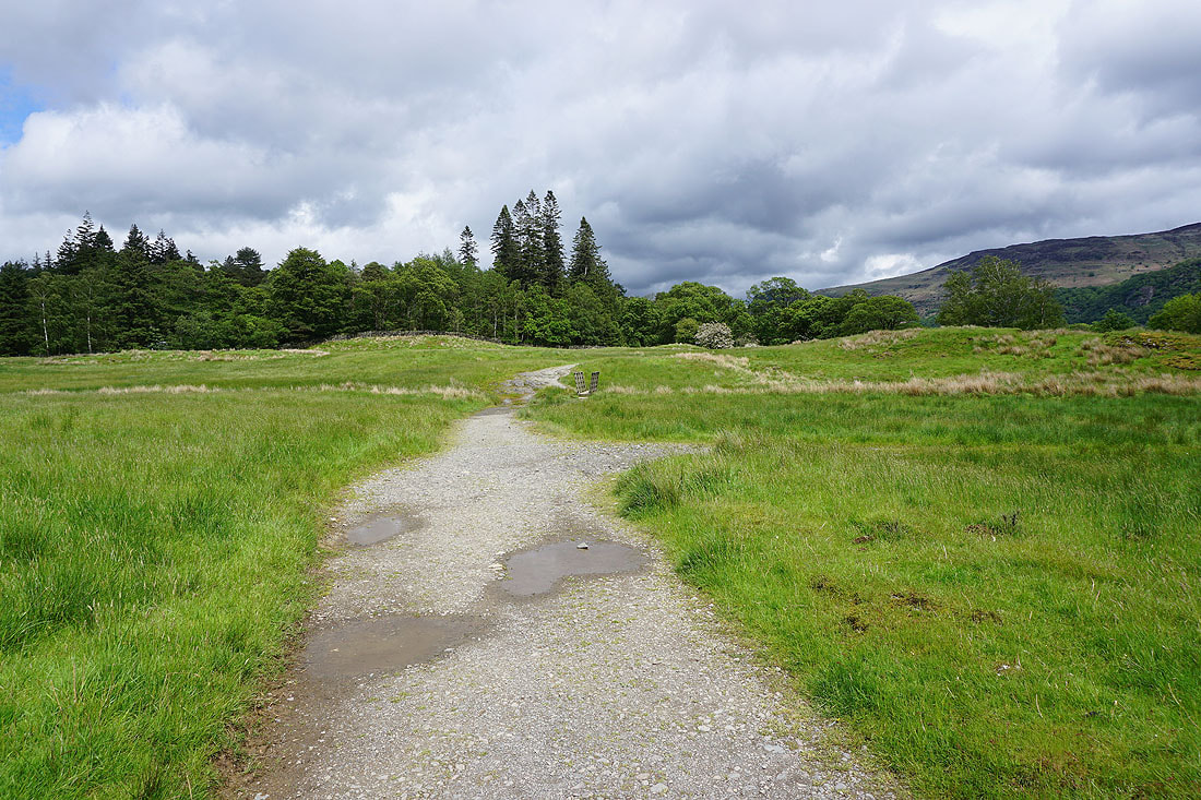
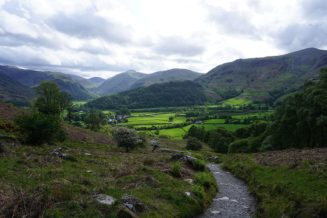
Leaving Rosthwaite on the bridleway past Yew Tree Farm
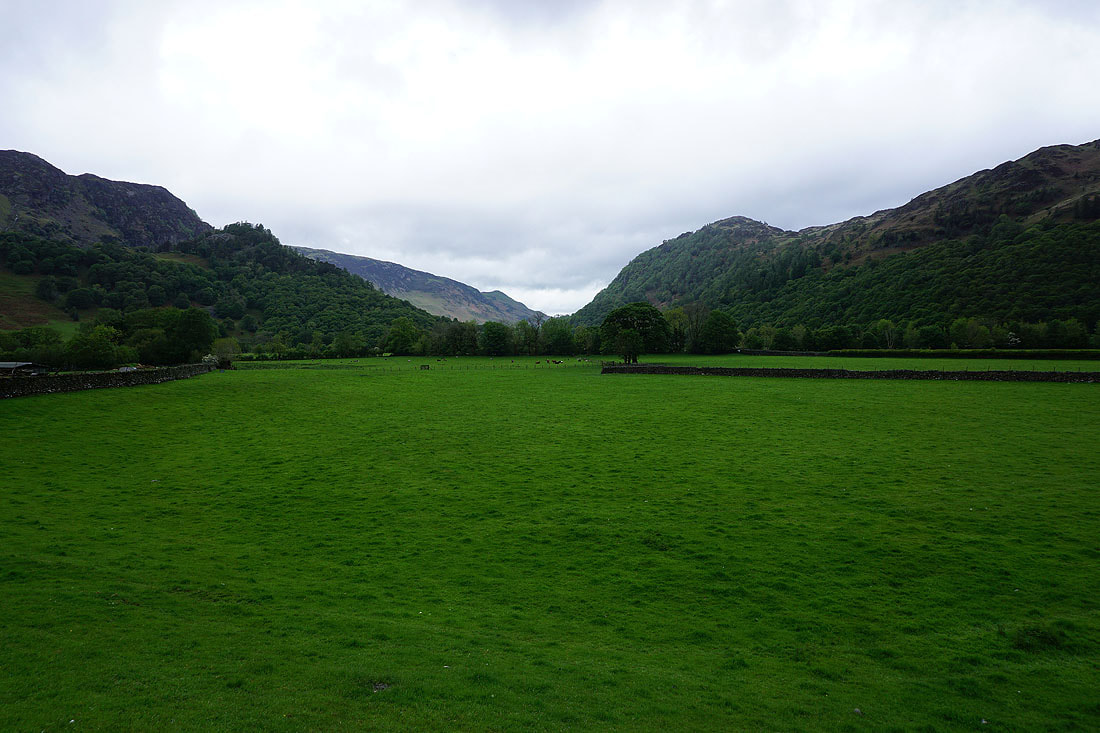
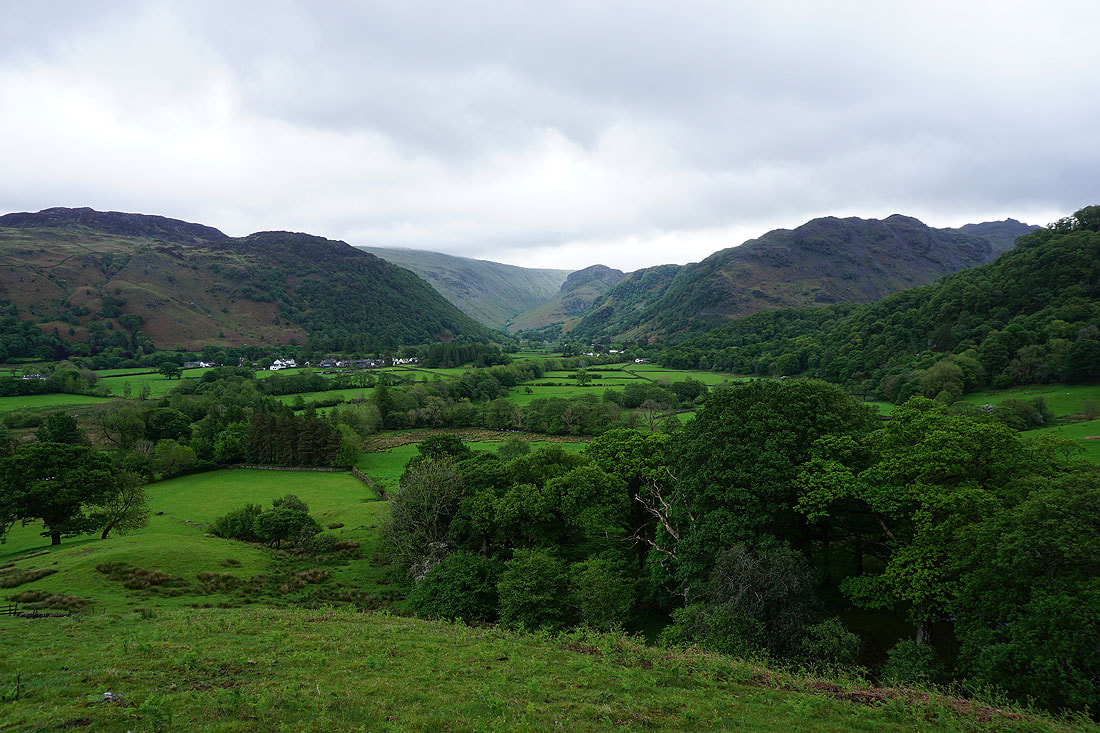
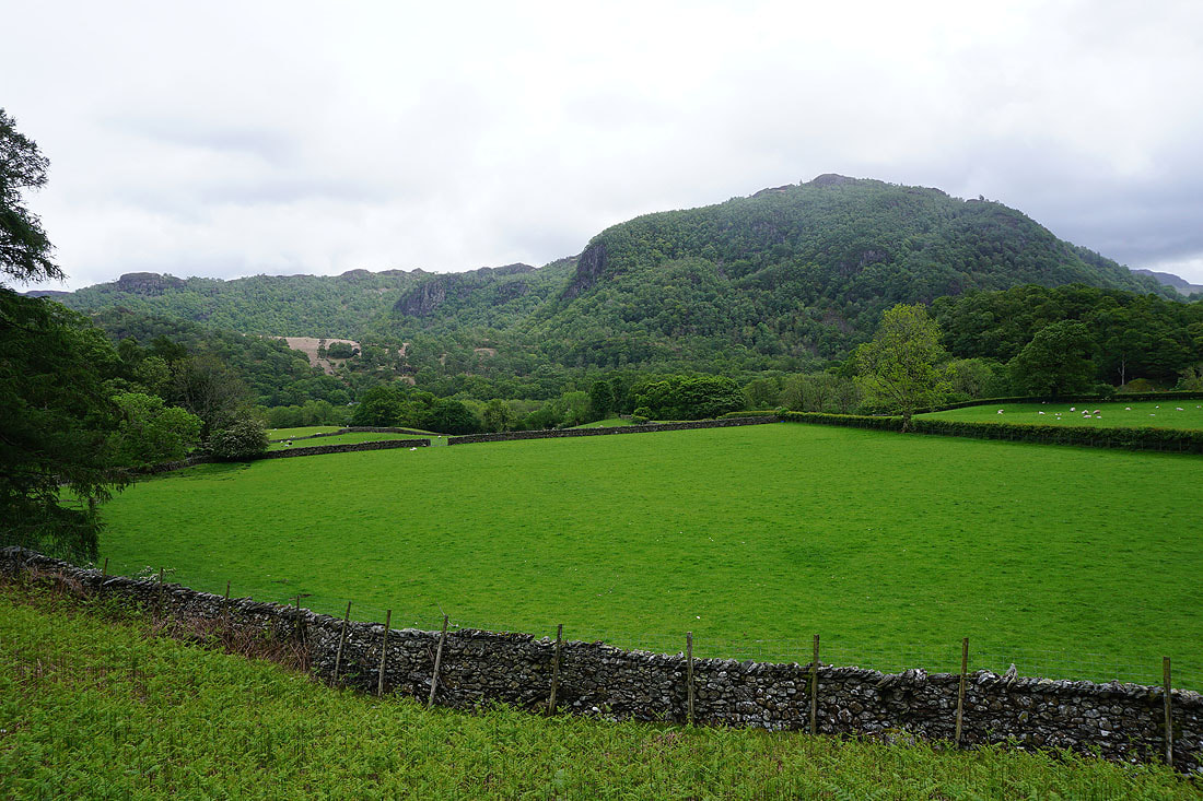
Looking down Borrowdale with Castle Crag on the left and King's How on the right
The bridleway joins the River Derwent..
|
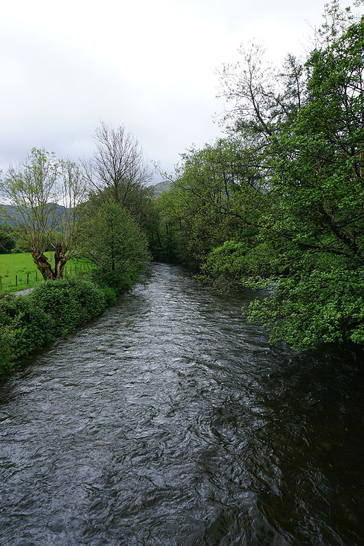
..and then crosses it
|
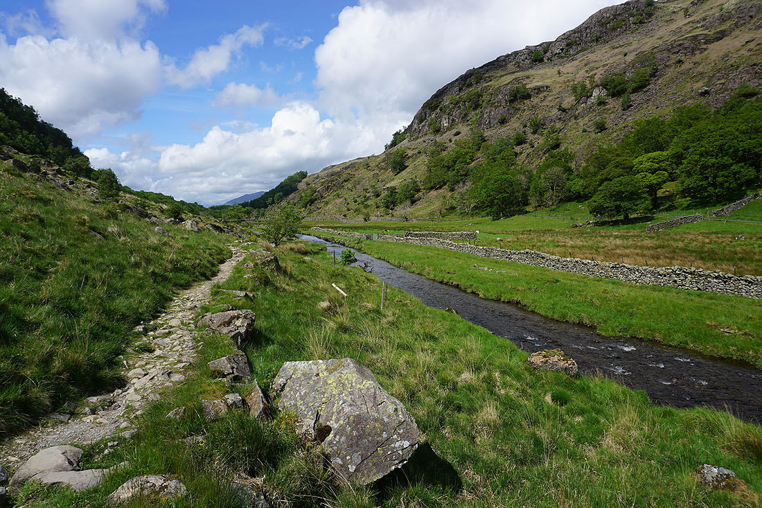
Great Crag, Rosthwaite, Eagle Crag down the Stonethwaite arm of Borrowdale, and Rosthwaite Fell from the footpath up Lingy Bank
Looking south as I join the Honister to Grange bridleway
Derwent Water appears ahead as I approach Castle Crag
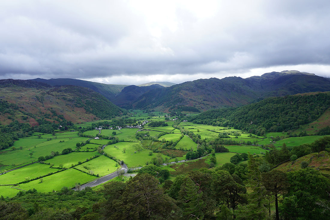
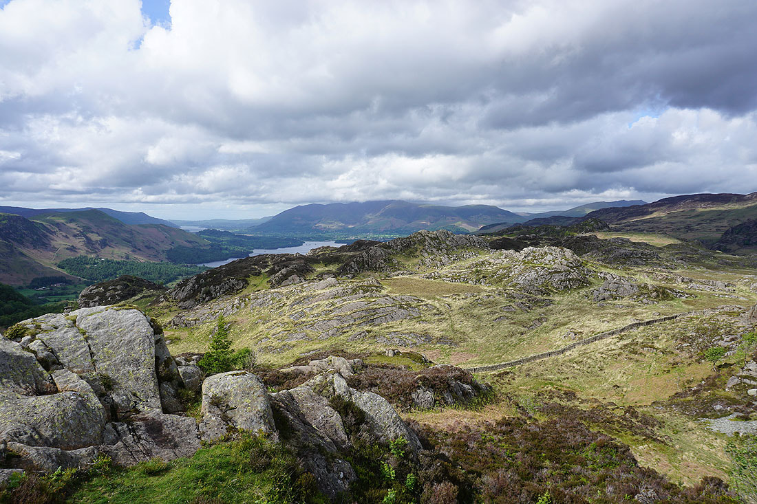
A great view of Borrowdale as I reach the top of Castle Crag
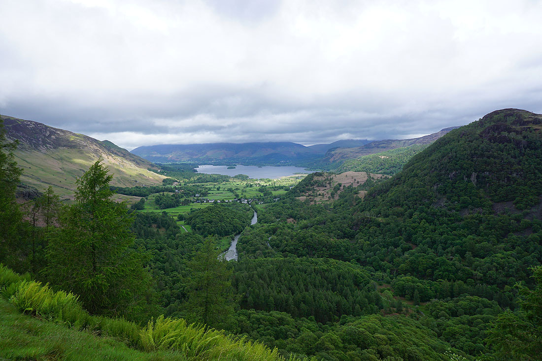
A cloud-topped Skiddaw and Derwent Water to the north
King's How on the other side of Borrowdale
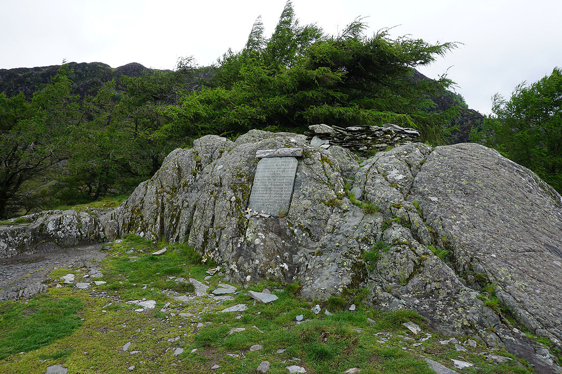
The cairn and memorial on the summit of Castle Crag
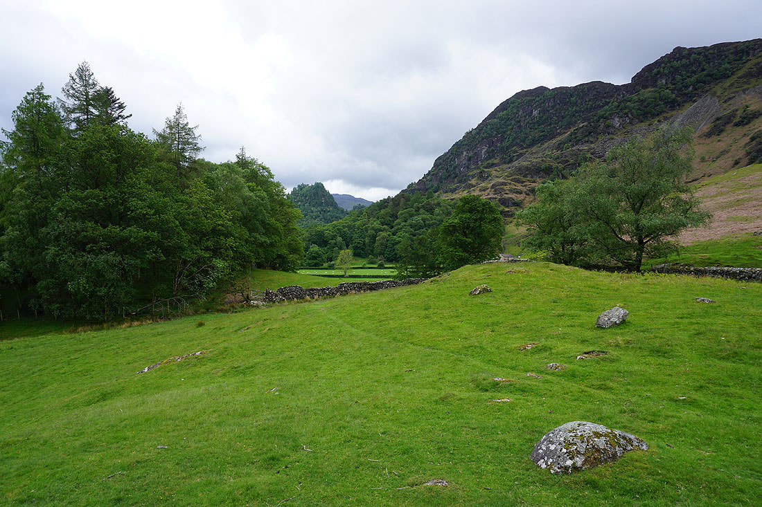
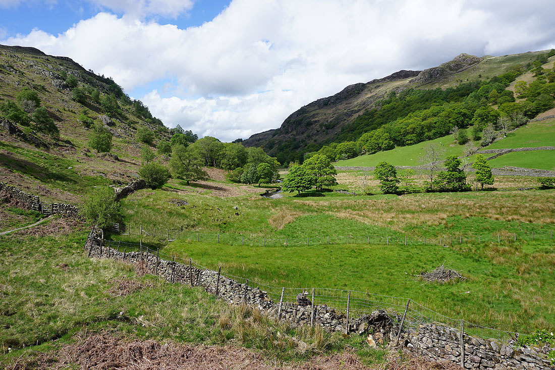
My descent takes me back down to the bridleway to Grange..
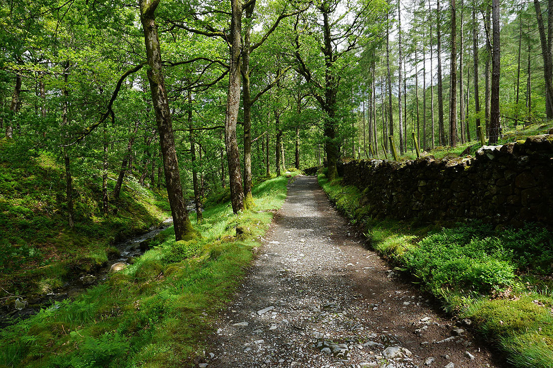
Walking through Low Hows Wood
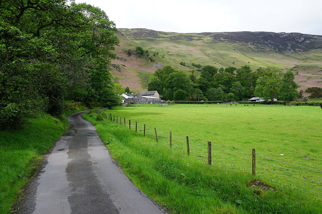
On the footpath past Hollows Farm
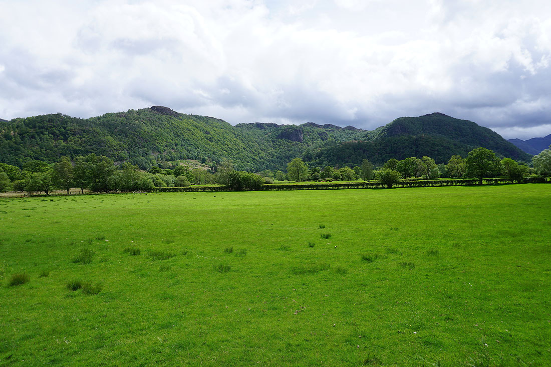
Looking across Borrowdale to King's How
and back to Castle Crag and Goat Crag
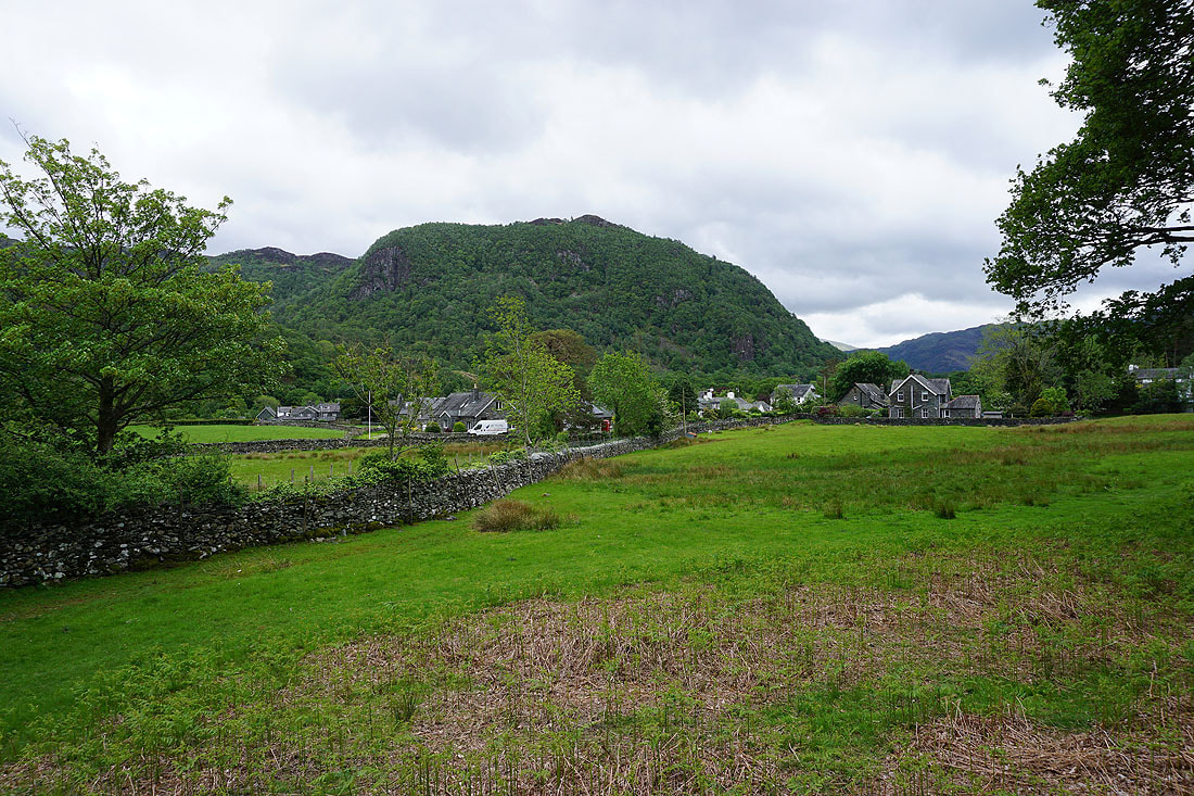
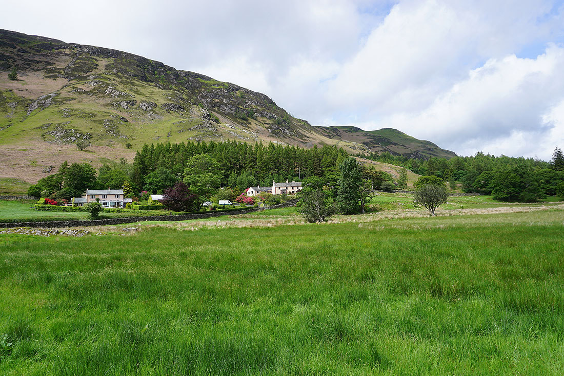
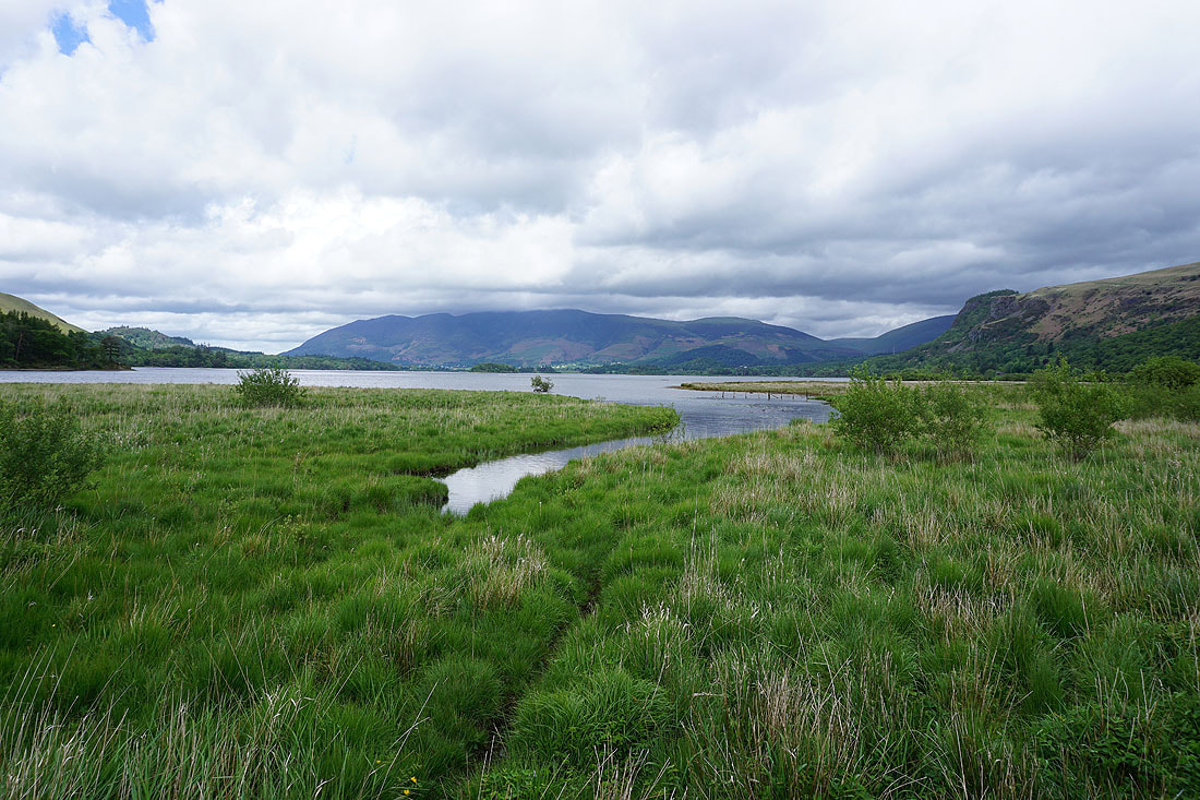
King's How behind Grange as I reach the Grange to Manesty road
Briefly on the road to Manesty
I leave the road for the footpath east to the Borrowdale road
Manesty beneath Black Crag
Comb Crags, Ether Knott, and King's How
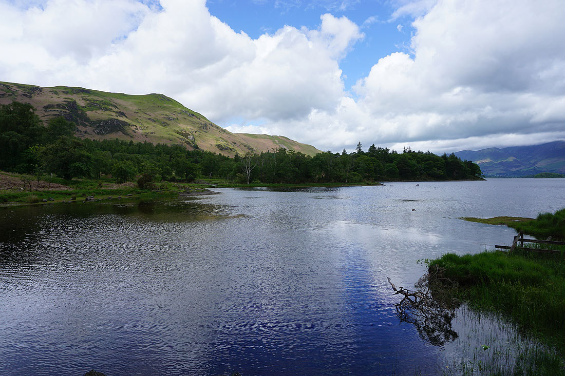
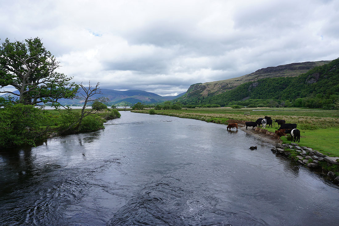
By the southern shore of Derwent Water at Great Bay..
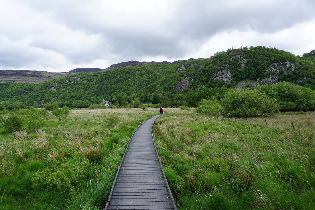
Boardwalks across boggy ground to the bridge over the River Derwent
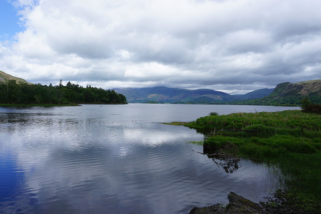
Derwent Water and Skiddaw
Crossing the River Derwent..
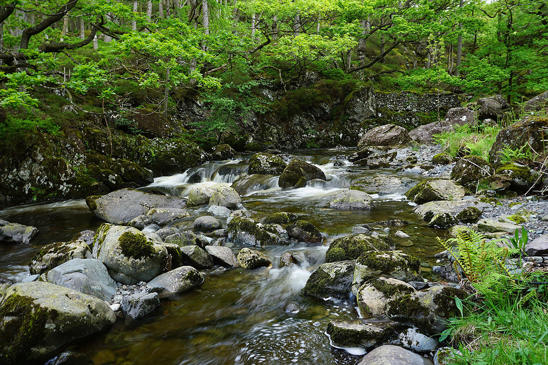
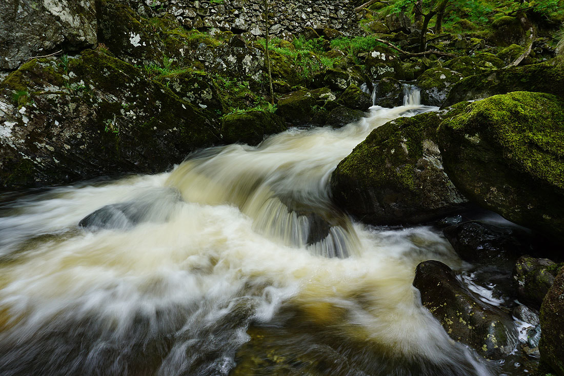
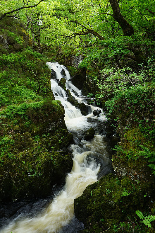
After crossing the Borrowdale road at High Lodore I follow a footpath up through woodland by Watendlath Beck..
|
|
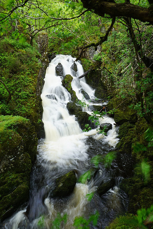
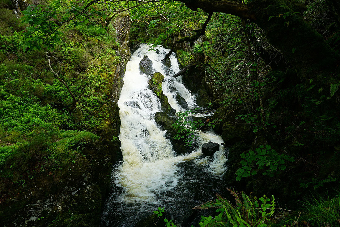
This waterfall just a short distance below the path was worth a visit...
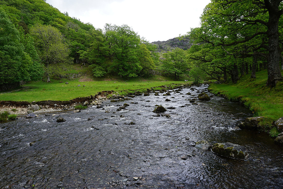
Following the footpath up the valley of Watendlath Beck to the hamlet of Watendlath....
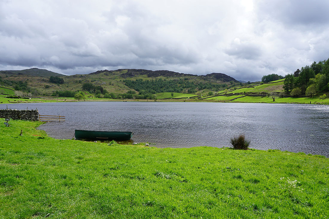
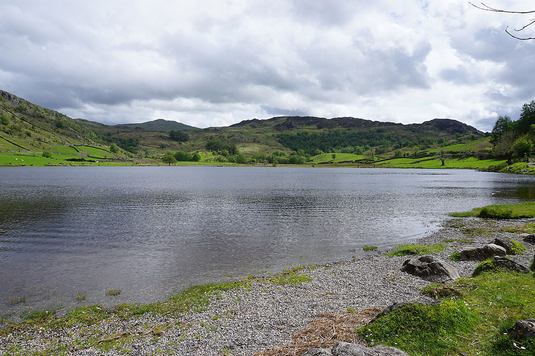
Looking across Watendlath Tarn to Great Crag
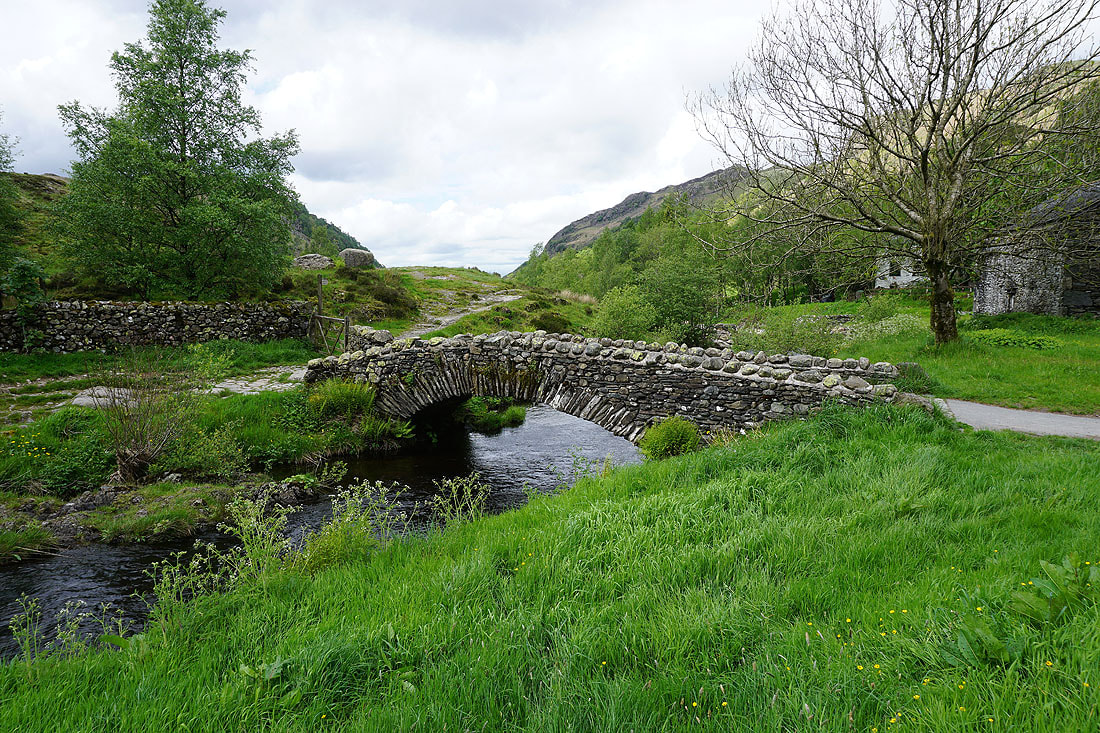
Across the footbridge over Watendlath Beck
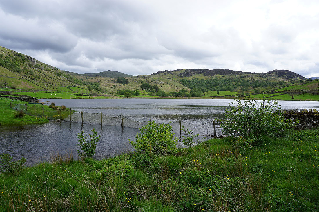
A couple more photos from beside Watendlath Tarn..
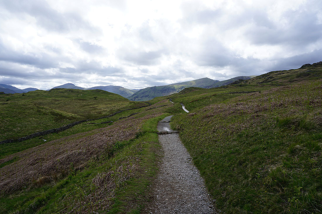
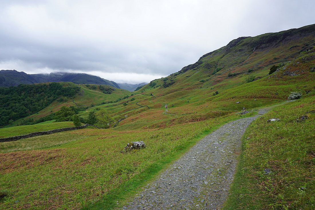
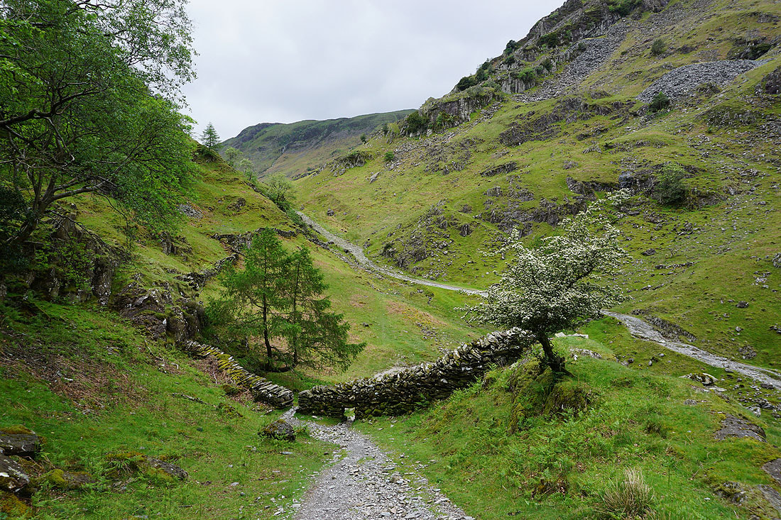
Leaving Watendlath I take the bridleway across to Rosthwaite
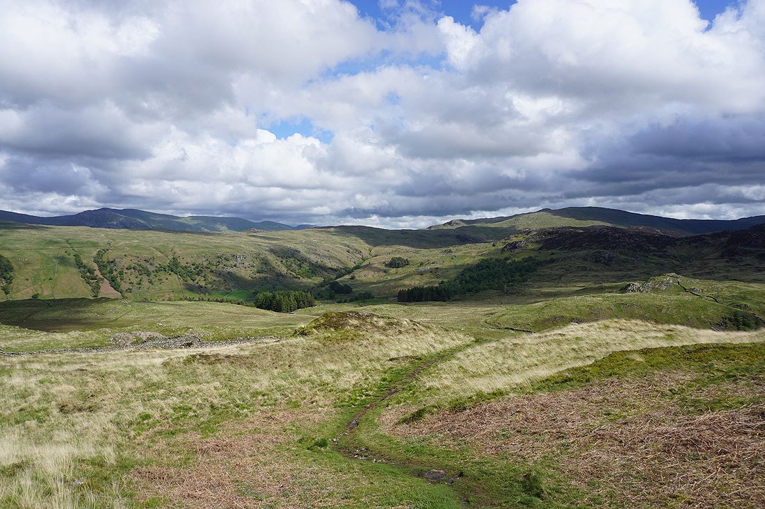
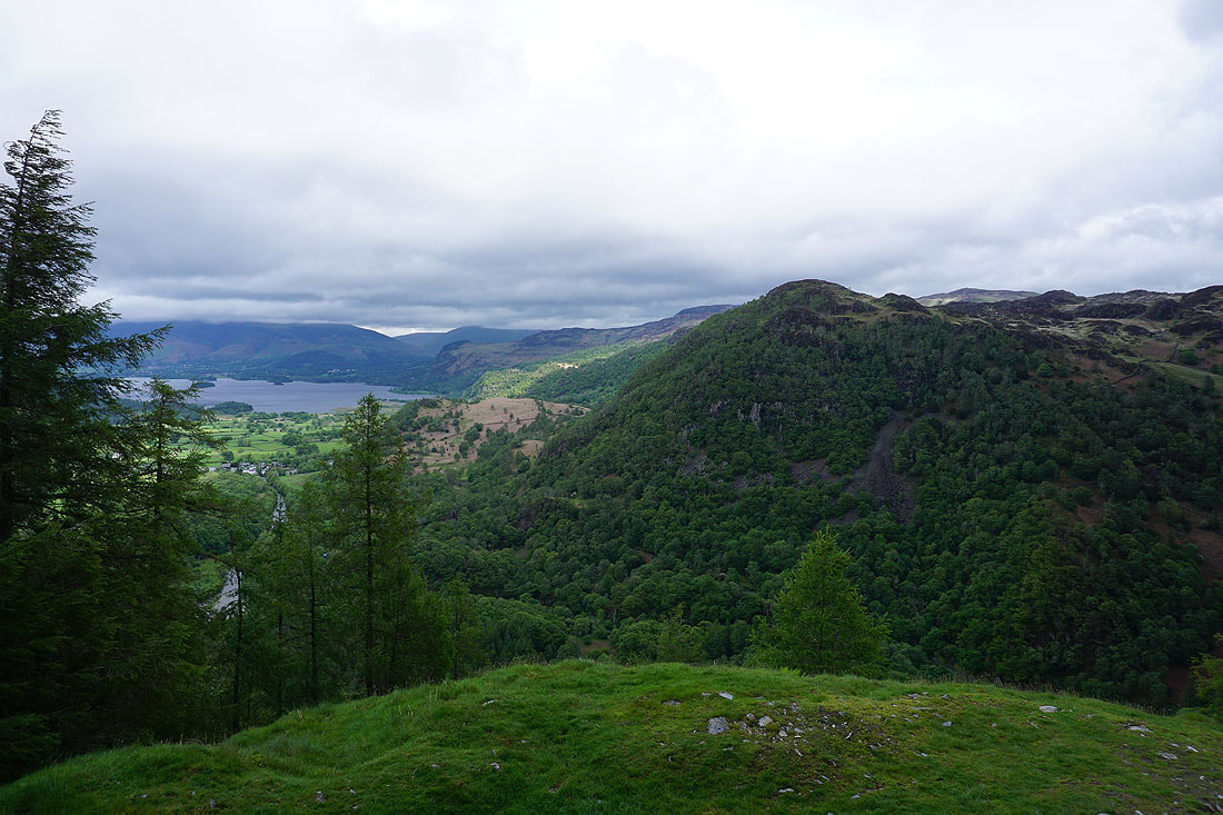
Looking back as I make my way up onto Grange Fell to Watendlath Fell and Ullscarf on the right
On the top of Brund Fell, the high point of Grange Fell, and it's a bit windy. Looking north across the rest of Grange Fell to Derwent Water and Skiddaw.
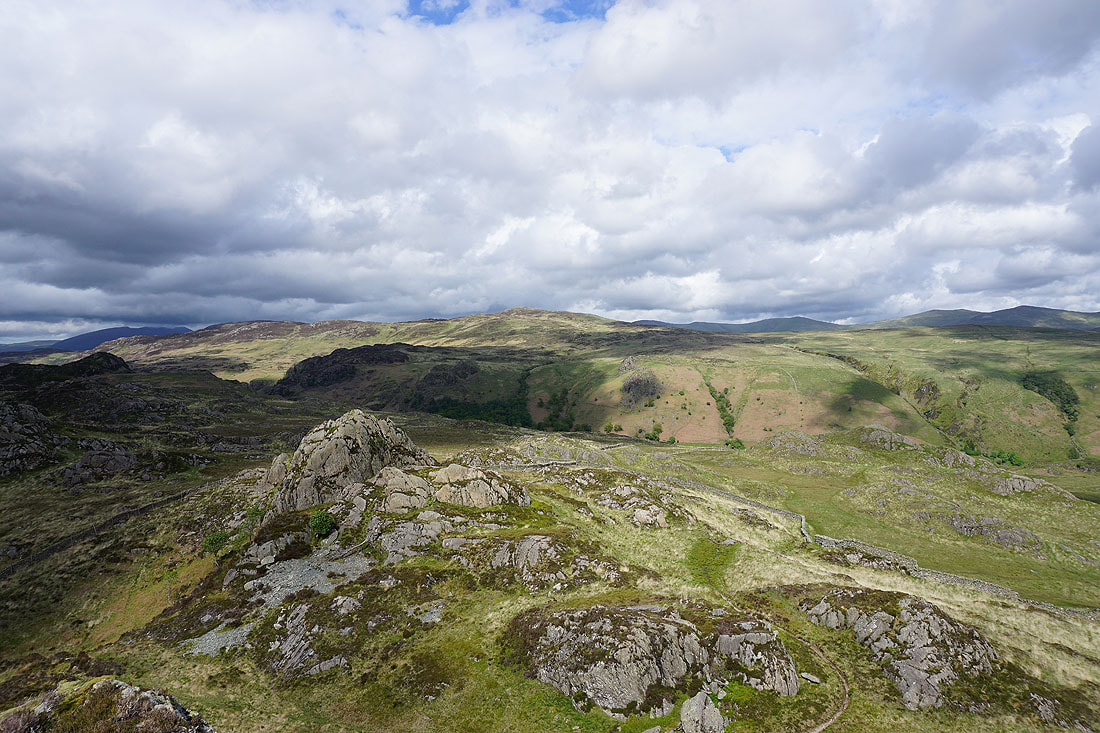
and across the valley of Watendlath Beck to High Seat
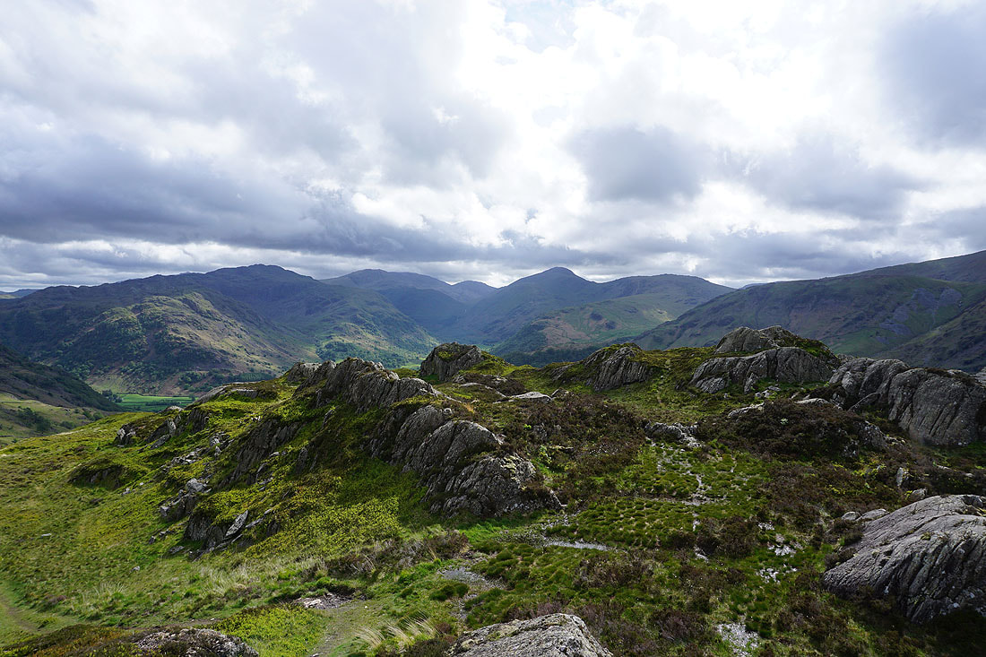
Glaramara, Great End, Great Gable and Grey Knotts surround the head of Borrowdale
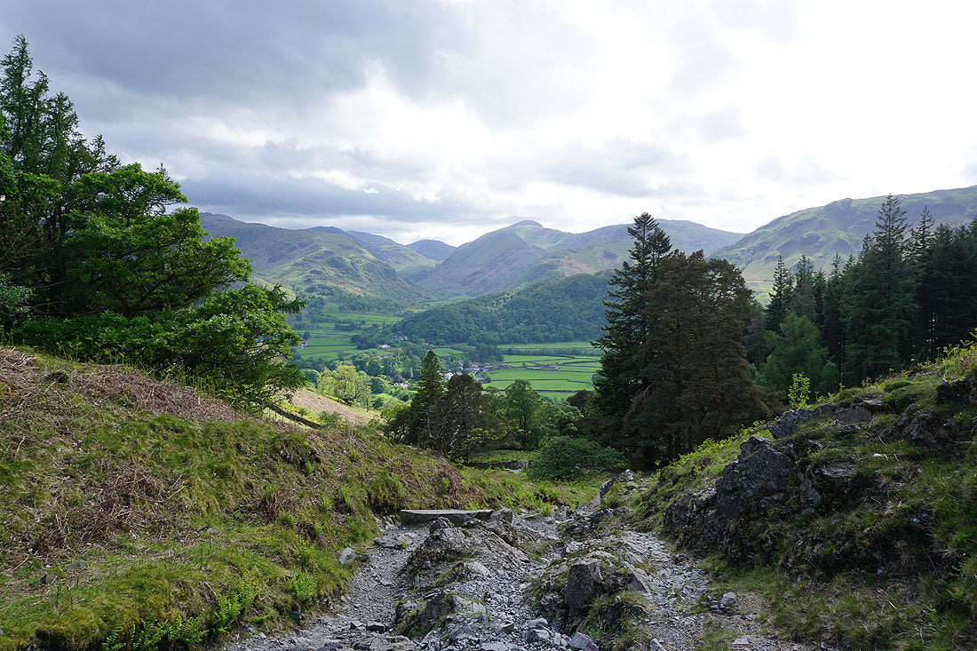
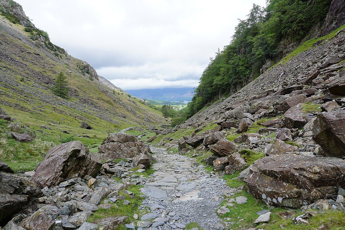
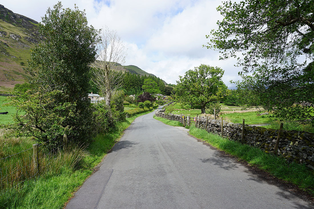
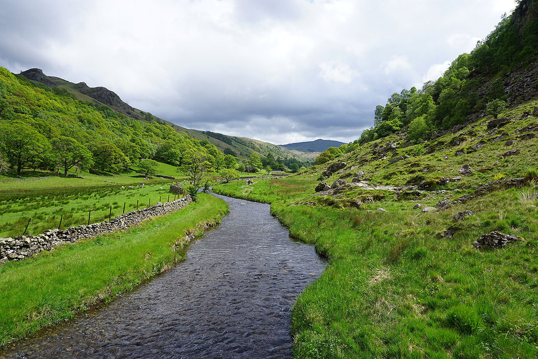
Heading down the bridleway to Rosthwaite in Borrowdale..
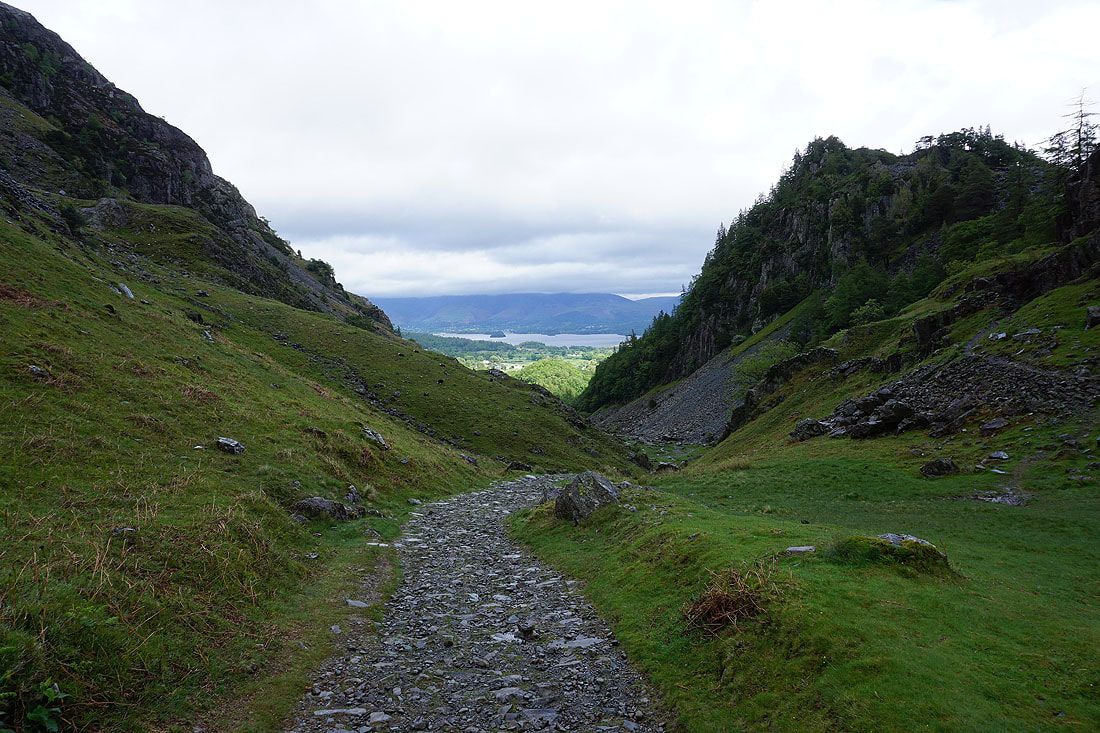
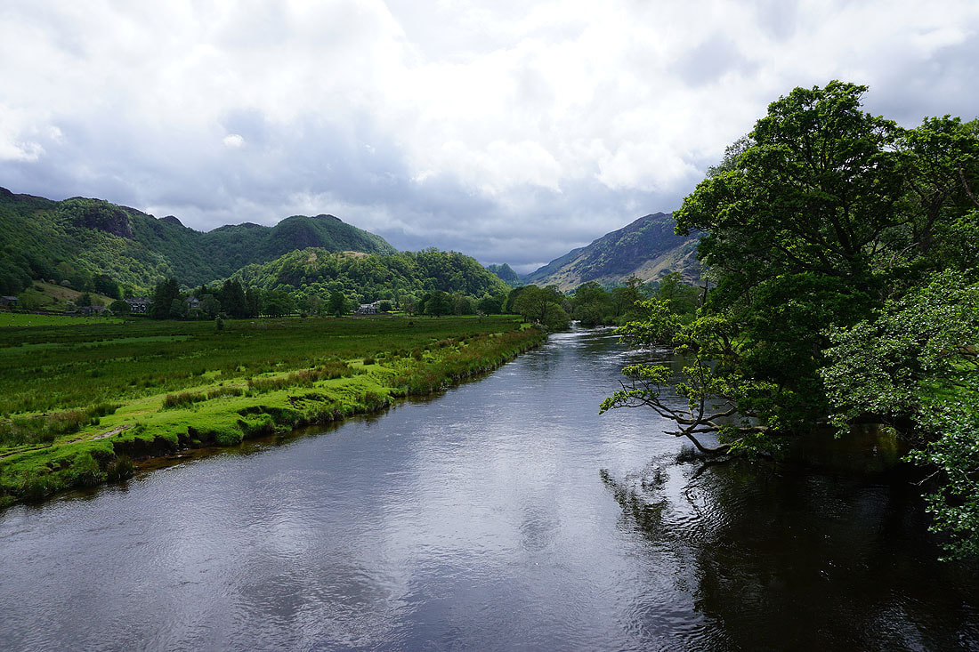
Castle Crag and King's How form the "Jaws of Borrowdale"
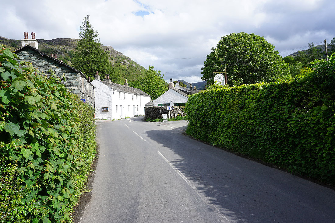
Back in Rosthwaite