28th August 2023 - High Bishopside to Guise Cliff
Walk Details
Distance walked: 15.2 miles
Total ascent: 2937 ft
OS map used: 298 - Nidderdale
Time taken: 7.5 hrs
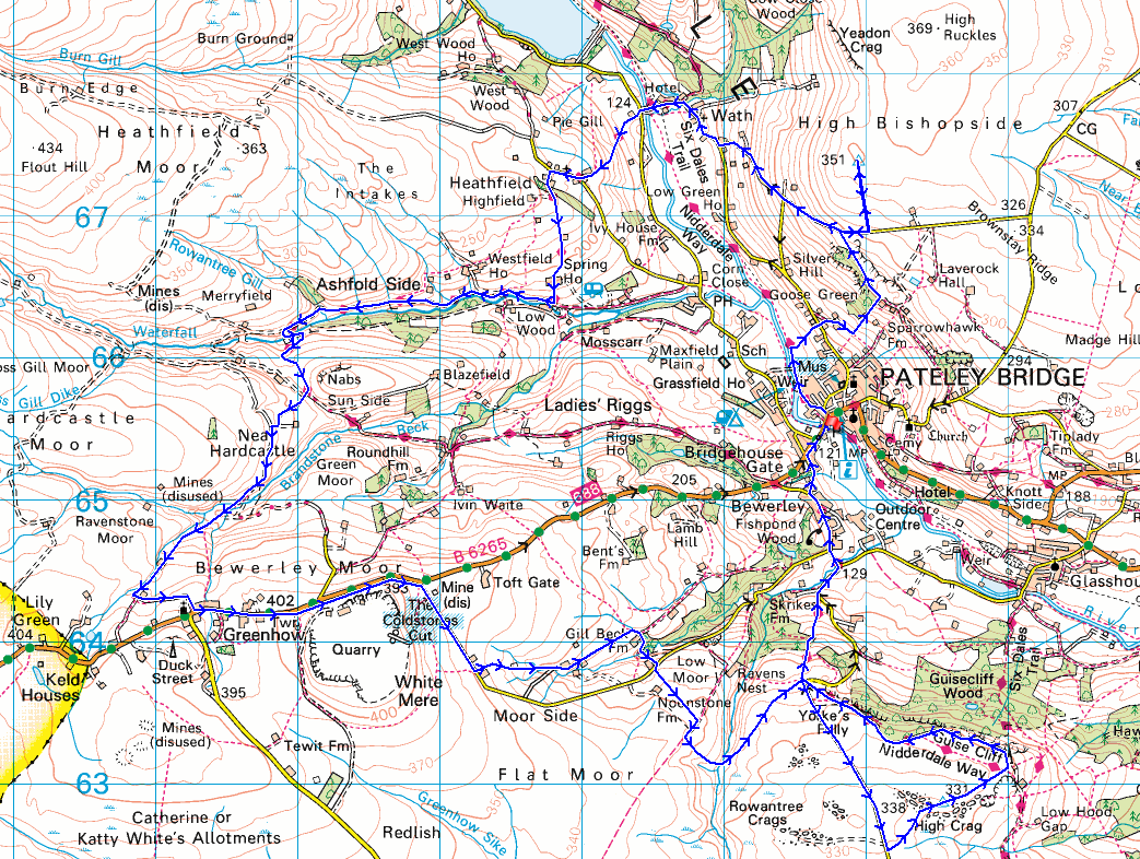
Route description: Pateley Bridge-Nidderdale Way-Wath Road-Bruce House Farm-Wath Lane-High Bishopside-Wath Lane-Wath Road-Wath-Wath Bridge-Grange Lane-Heathfield-Nidderdale Way-Ashfold Side-Nidderdale Way-Near Hardcastle-Low Far Side-Far Side-Greenhow-B6265-Toft Gate Lime Kiln-Peat Lane-Moor Houses-Gillbeck Farm-Peat Lane-Low Moor-Nought Moor-Nought Moor Road-High Crag-Guise Cliff-Nidderdale Way-Nought Moor-Nought Bank Road-Bewerley-Pateley Bridge
I decided to head to Nidderdale for my walk this weekend. The route that I worked out was a slightly longer version of one that I did back in February 2022, the extra couple of miles being from the leaving the Nidderdale Way south of Prosperous Lead Mine up to the village of Greenhow. Those footpaths were new to me, as was the section of the Nidderdale Way that I left Pateley Bridge by, and some of the footpaths up to Wath Road and Wath Lane to reach High Bishopside. There are lots of heather covered moors surrounding Nidderdale and with it bloom at the moment I was hoping for some sunshine to make it look at its best. Unfortunately it was in short supply, despite a promising start. There were plenty of blue skies around when I set off from Pateley Bridge, but it didn't take long for cloud to build up, and I was lucky that there was still some sunshine to take in the heather on High Bishopside, as the rest of the day ended up mostly quite grey and overcast.
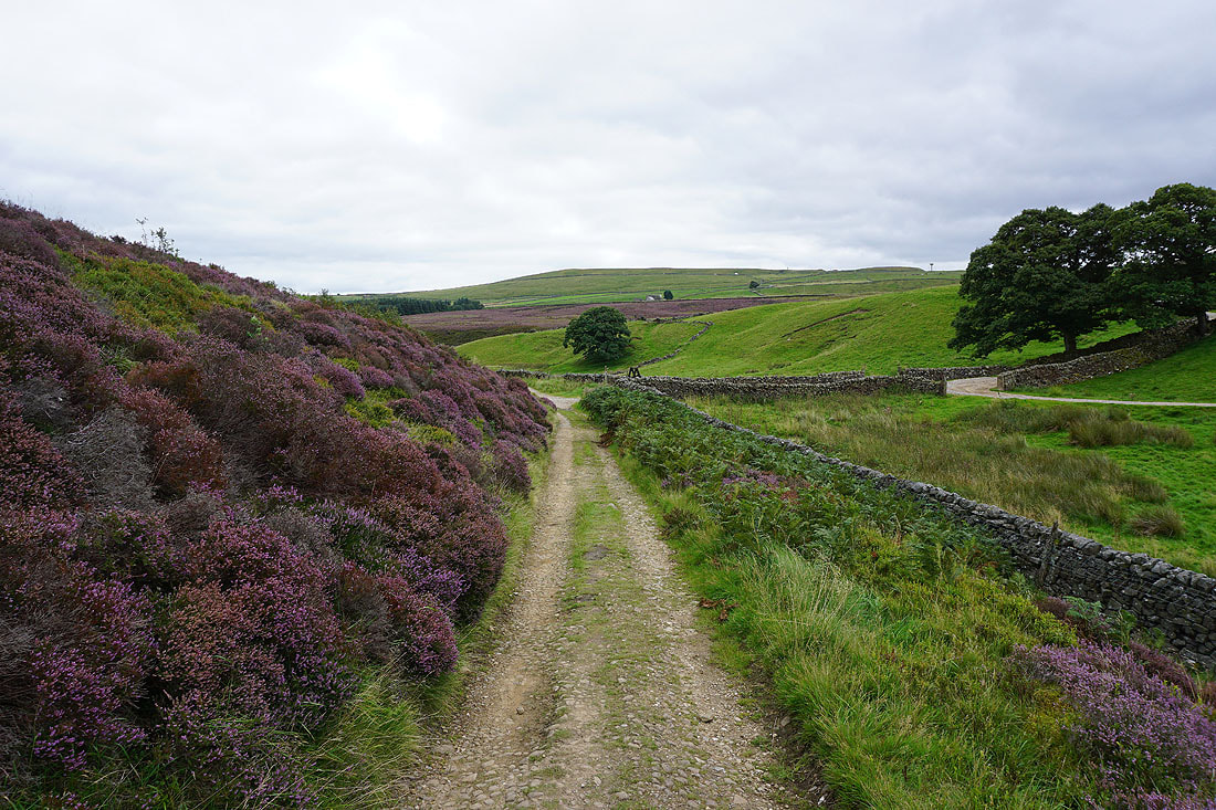
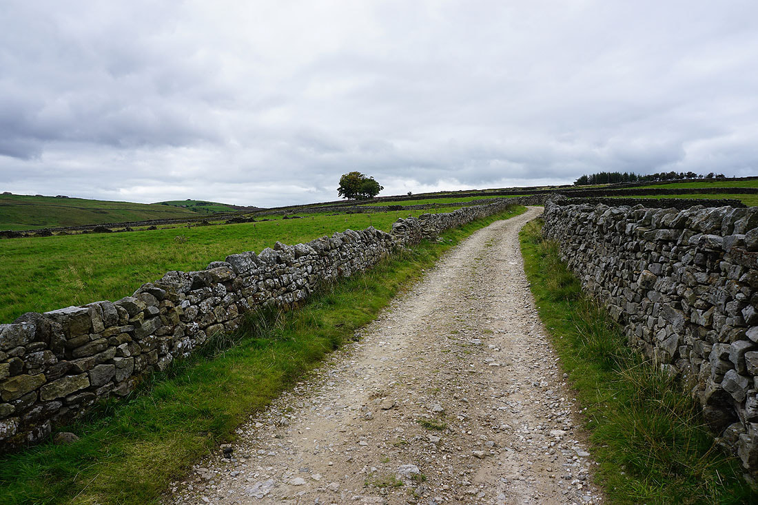
From where I parked in the car park next to the showground in Pateley Bridge I walked across the bridge over the River Nidd, then immediately took the trail of the Nidderdale Way on the left, which I followed north by the River Nidd, passing a footbridge, then took a footpath on the right up through fields to Wath Road. The road was crossed to take the footpath opposite up to Bruce House Farm and the line of a dismantled railway, then a footpath was followed up this and through disused quarries to reach Wath Lane. After a short walk up Wath Lane I reached a gate on the left which let me onto access land, and I then made made my way up the hillside to reach the trig point on High Bishopside. Once I'd taken in the view I retraced my steps back down to Wath Lane. After returning to Wath Lane I walked down the road to Wath Road, then down Wath Road and through the hamlet of Wath to the main road up Nidderdale. I then crossed the road and took the footpath opposite up the hillside to Grange Lane, turned right and walked up Grange Lane to the hamlet of Heathfield until I reached the Nidderdale Way on the left. The Nidderdale Way was then followed south and west to Ashfold Side and the ruins of the Prosperous Lead Mine, where I stopped for lunch. After this break I kept on the Nidderdale Way for a short while longer, up to the western end of the hill of Nabs, from where I took a footpath up a track on the right past Near Hardcastle, through the disused mines around Brandstone Beck, then up above Gill Beck to Low Far Side and Far Side. A walk along a track from here took me to the B6265 in Greenhow. I then had a walk east along the road, using a concessionary path past Coldstones Quarry to reach Peat Lane, and the ruins of the Toft Gate Lime Kiln. After having a look at the ruins I continued by walking south down the lane to Bewerley before taking a footpath on the left down through fields past Moor Houses to Gillbeck Farm. From here I took a track down to a beck and then a footpath up to the lane above, which I crossed, for the bridleway south across Low Moor. When this bridleway met another one I turned right, followed this south for a short distance, and then took a footpath on the left down to and across Fosse Gill and up across Nought Moor to Nought Bank Road. I then walked south up Nought Moor Road until I reached a footpath on the left across High Crag Ridge, past the trig point on High Crag, and to the southern end of Guise Cliff. I then made my way north along the top of Guise Cliff and onto the Nidderdale Way, which I followed down to Nought Bank Road, across Nought Moor, down through Skrikes Wood, and then down the road to the village of Bewerley. I left the trail behind in Bewerley for the walk along the road back to Pateley Bridge and the car park next to the showground.
Total ascent: 2937 ft
OS map used: 298 - Nidderdale
Time taken: 7.5 hrs
Route description: Pateley Bridge-Nidderdale Way-Wath Road-Bruce House Farm-Wath Lane-High Bishopside-Wath Lane-Wath Road-Wath-Wath Bridge-Grange Lane-Heathfield-Nidderdale Way-Ashfold Side-Nidderdale Way-Near Hardcastle-Low Far Side-Far Side-Greenhow-B6265-Toft Gate Lime Kiln-Peat Lane-Moor Houses-Gillbeck Farm-Peat Lane-Low Moor-Nought Moor-Nought Moor Road-High Crag-Guise Cliff-Nidderdale Way-Nought Moor-Nought Bank Road-Bewerley-Pateley Bridge
I decided to head to Nidderdale for my walk this weekend. The route that I worked out was a slightly longer version of one that I did back in February 2022, the extra couple of miles being from the leaving the Nidderdale Way south of Prosperous Lead Mine up to the village of Greenhow. Those footpaths were new to me, as was the section of the Nidderdale Way that I left Pateley Bridge by, and some of the footpaths up to Wath Road and Wath Lane to reach High Bishopside. There are lots of heather covered moors surrounding Nidderdale and with it bloom at the moment I was hoping for some sunshine to make it look at its best. Unfortunately it was in short supply, despite a promising start. There were plenty of blue skies around when I set off from Pateley Bridge, but it didn't take long for cloud to build up, and I was lucky that there was still some sunshine to take in the heather on High Bishopside, as the rest of the day ended up mostly quite grey and overcast.
From where I parked in the car park next to the showground in Pateley Bridge I walked across the bridge over the River Nidd, then immediately took the trail of the Nidderdale Way on the left, which I followed north by the River Nidd, passing a footbridge, then took a footpath on the right up through fields to Wath Road. The road was crossed to take the footpath opposite up to Bruce House Farm and the line of a dismantled railway, then a footpath was followed up this and through disused quarries to reach Wath Lane. After a short walk up Wath Lane I reached a gate on the left which let me onto access land, and I then made made my way up the hillside to reach the trig point on High Bishopside. Once I'd taken in the view I retraced my steps back down to Wath Lane. After returning to Wath Lane I walked down the road to Wath Road, then down Wath Road and through the hamlet of Wath to the main road up Nidderdale. I then crossed the road and took the footpath opposite up the hillside to Grange Lane, turned right and walked up Grange Lane to the hamlet of Heathfield until I reached the Nidderdale Way on the left. The Nidderdale Way was then followed south and west to Ashfold Side and the ruins of the Prosperous Lead Mine, where I stopped for lunch. After this break I kept on the Nidderdale Way for a short while longer, up to the western end of the hill of Nabs, from where I took a footpath up a track on the right past Near Hardcastle, through the disused mines around Brandstone Beck, then up above Gill Beck to Low Far Side and Far Side. A walk along a track from here took me to the B6265 in Greenhow. I then had a walk east along the road, using a concessionary path past Coldstones Quarry to reach Peat Lane, and the ruins of the Toft Gate Lime Kiln. After having a look at the ruins I continued by walking south down the lane to Bewerley before taking a footpath on the left down through fields past Moor Houses to Gillbeck Farm. From here I took a track down to a beck and then a footpath up to the lane above, which I crossed, for the bridleway south across Low Moor. When this bridleway met another one I turned right, followed this south for a short distance, and then took a footpath on the left down to and across Fosse Gill and up across Nought Moor to Nought Bank Road. I then walked south up Nought Moor Road until I reached a footpath on the left across High Crag Ridge, past the trig point on High Crag, and to the southern end of Guise Cliff. I then made my way north along the top of Guise Cliff and onto the Nidderdale Way, which I followed down to Nought Bank Road, across Nought Moor, down through Skrikes Wood, and then down the road to the village of Bewerley. I left the trail behind in Bewerley for the walk along the road back to Pateley Bridge and the car park next to the showground.
Route map
© Crown copyright. All rights reserved. License number PU 100034184.
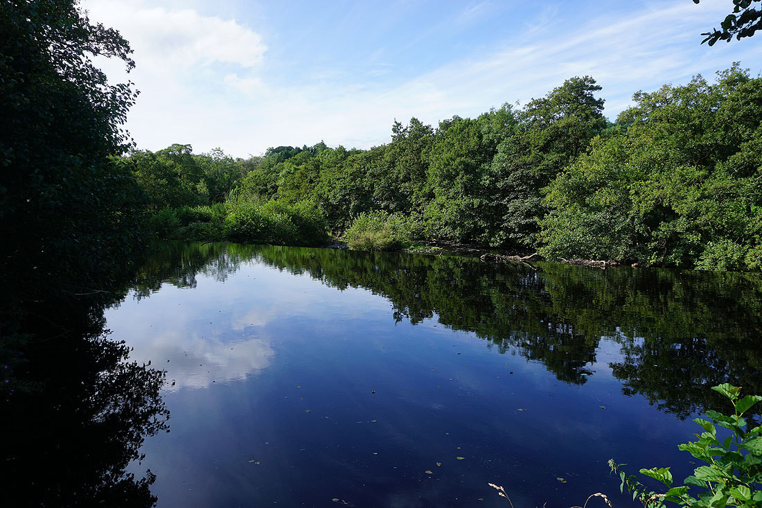
On the Nidderdale Way by the River Nidd in Pateley Bridge
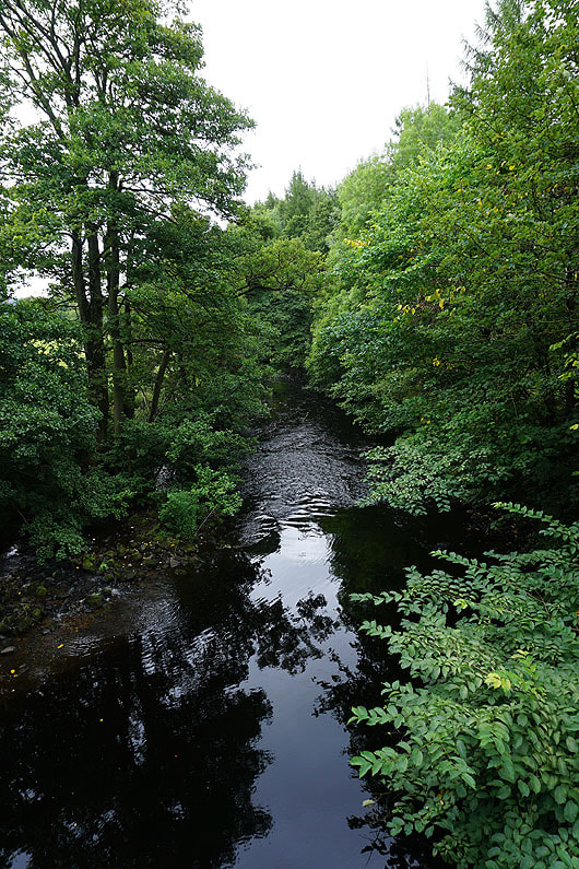
Passing a footbridge I make use of it to take in a view of the River Nidd
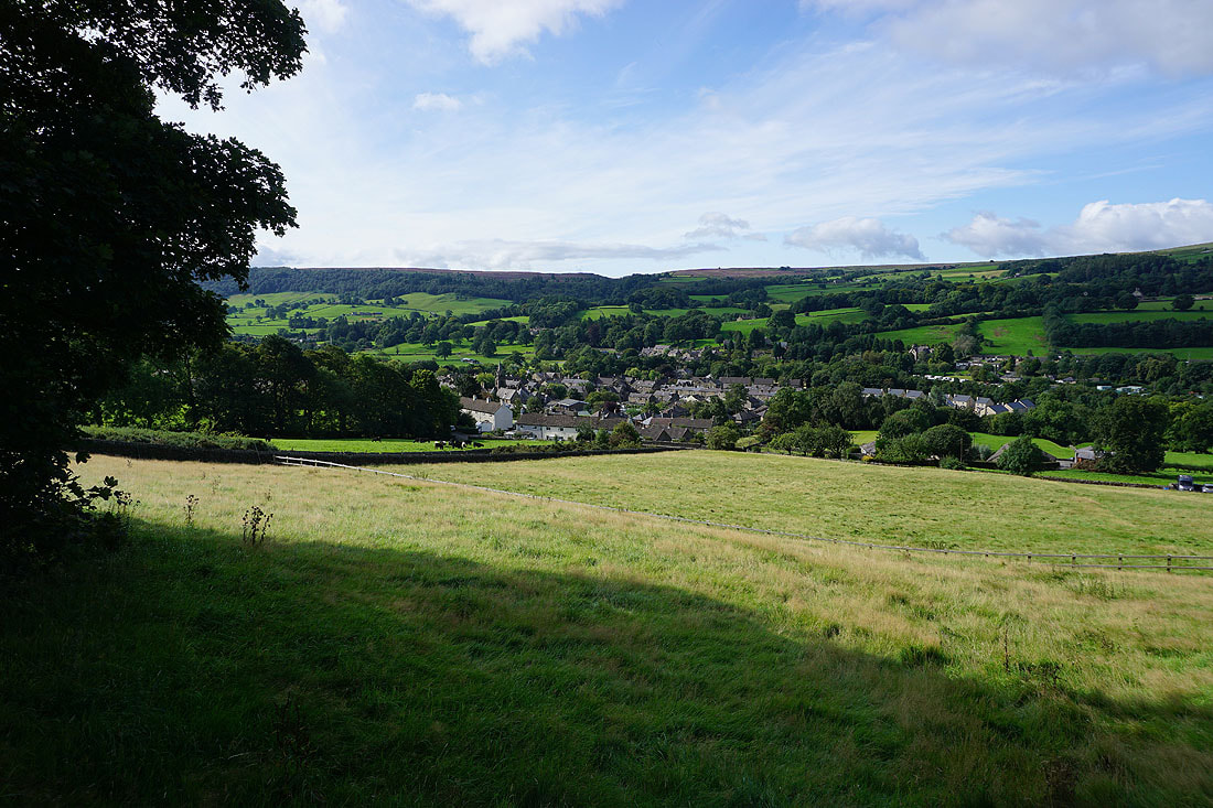
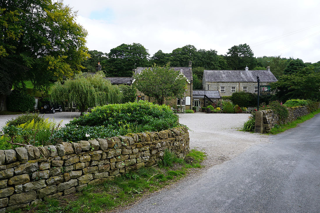
Pateley Bridge from Wath Road
Making my way through the disused quarries above Pateley Bridge
Looking across Nidderdale to Guise Cliff
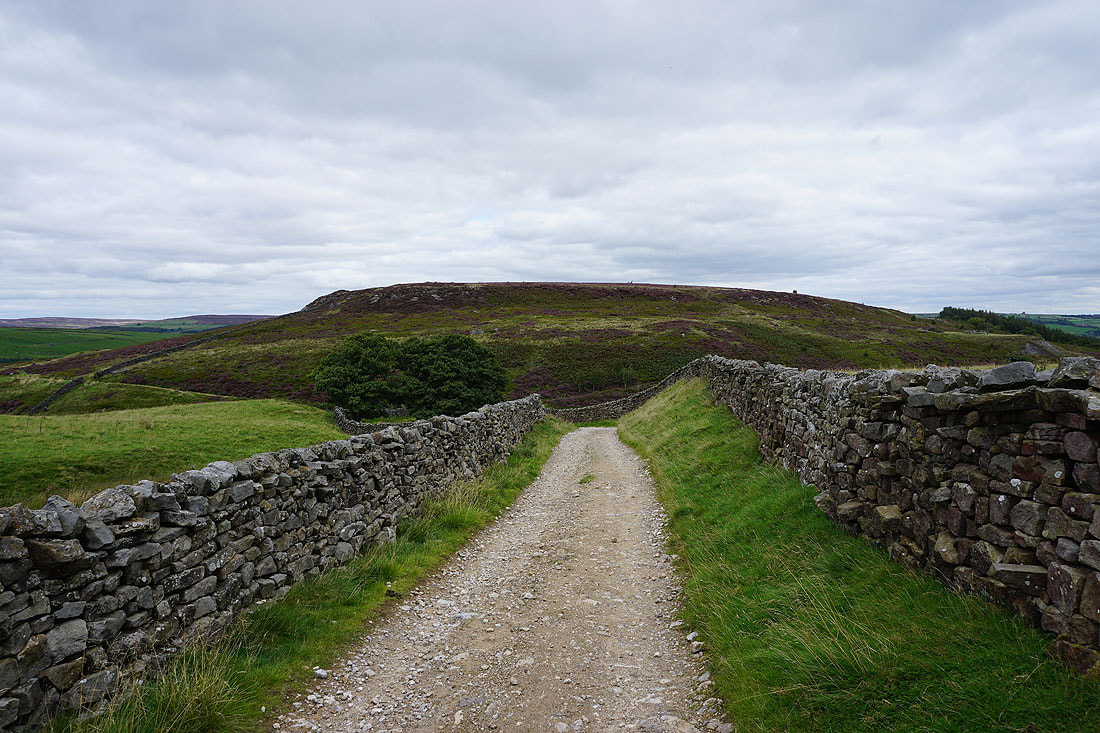
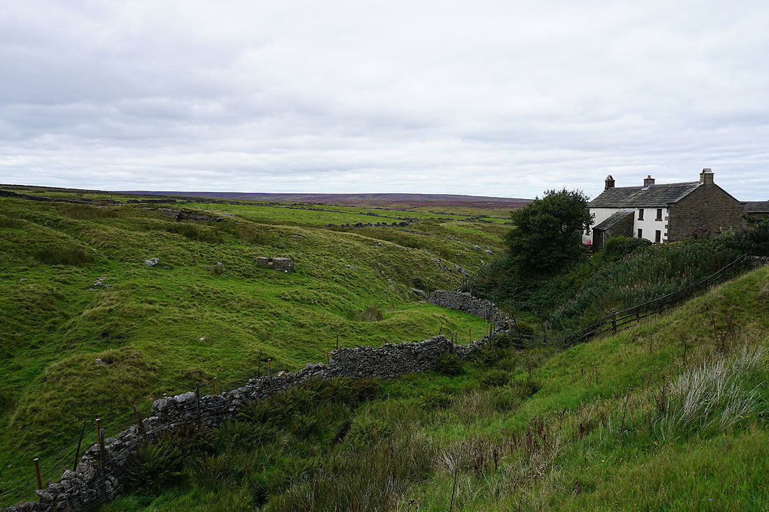
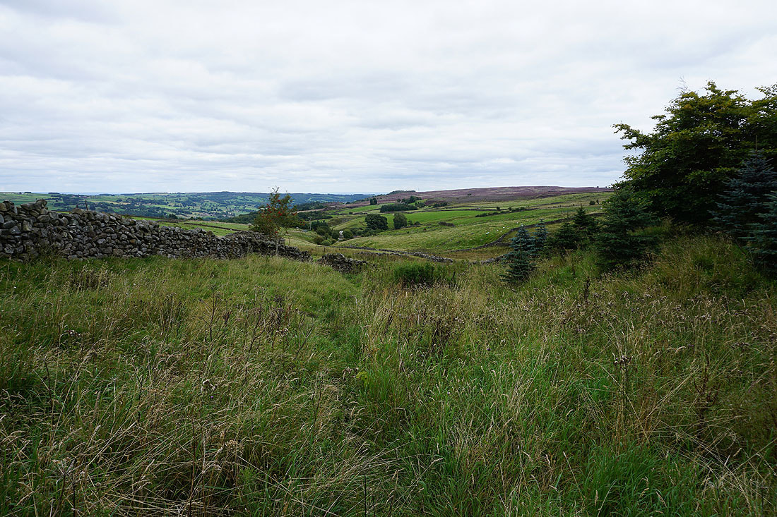
I leave the quarries via a path up to Wath Lane
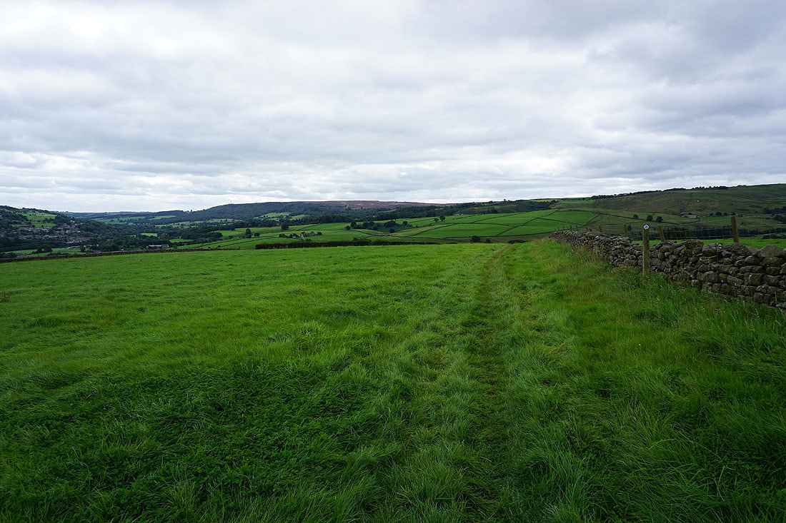
As I reach Wath Lane I get a view across Nidderdale to Ashfold Side and Heathfield, where I'll walking in about an hours time
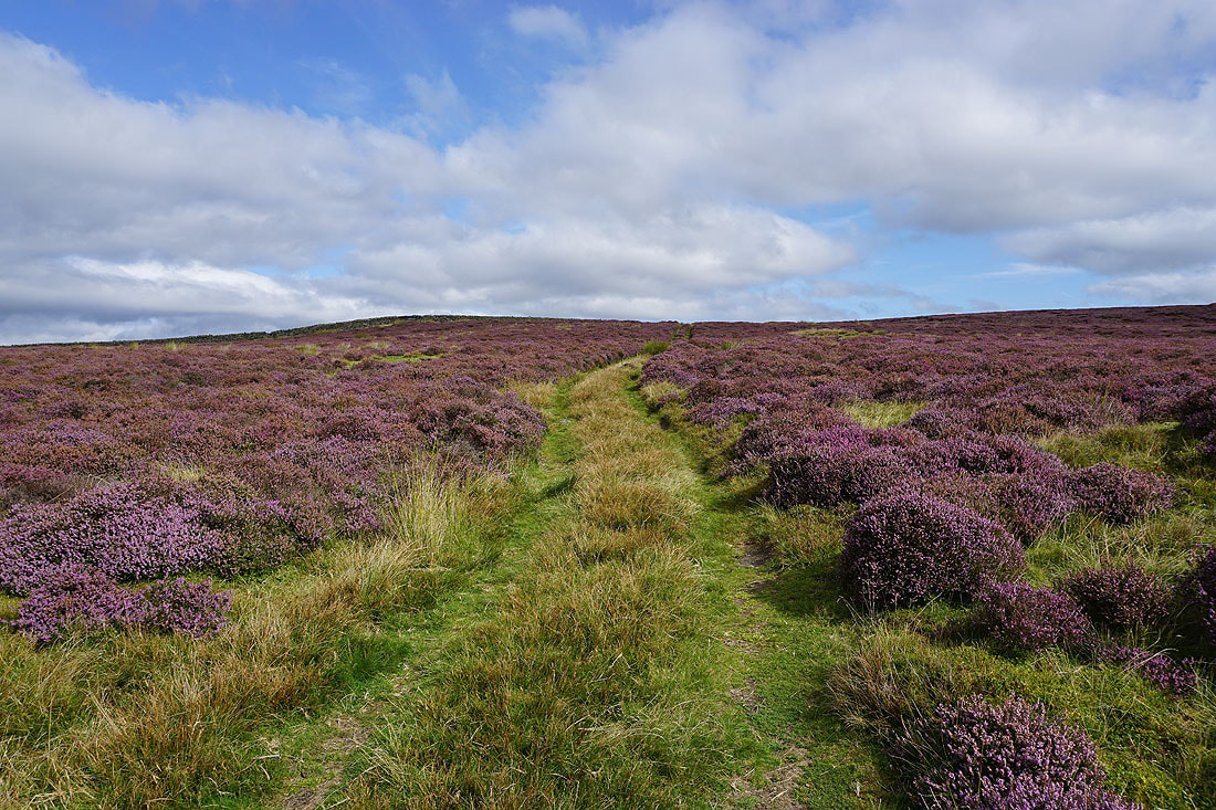
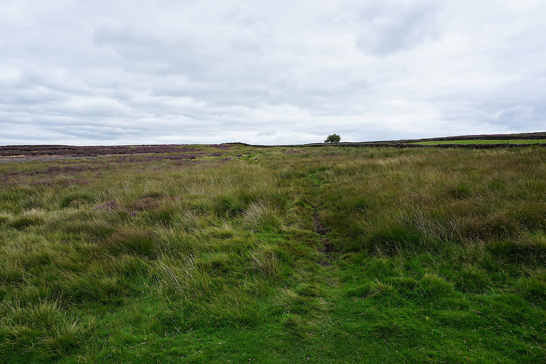
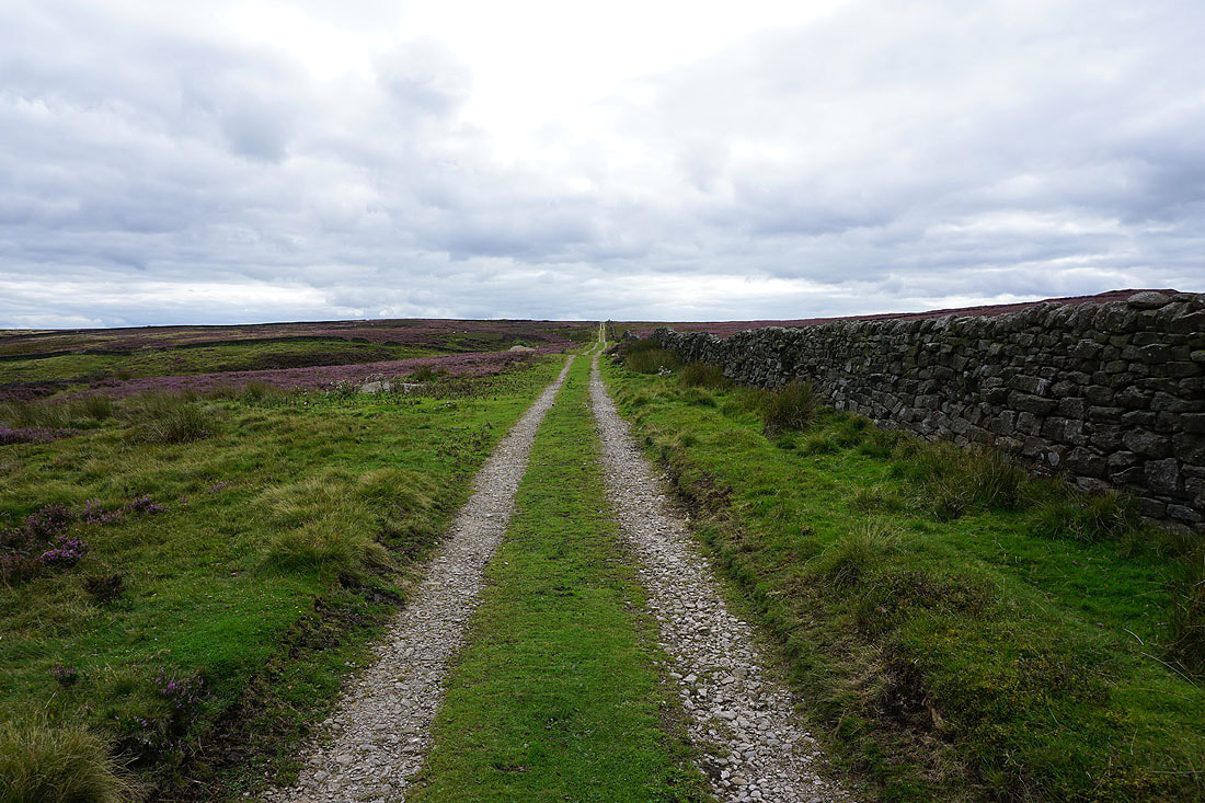
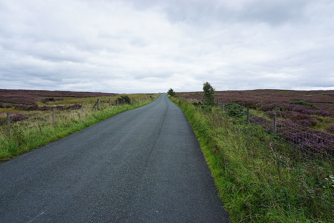
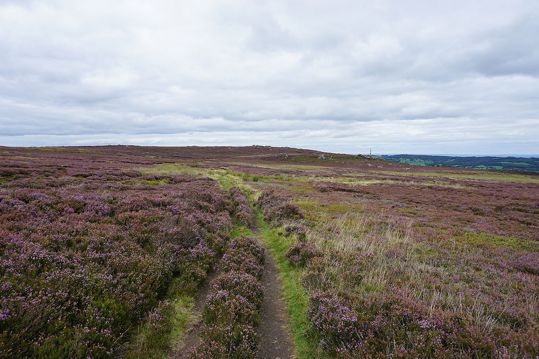
After a short walk up Wath Lane I reach a gate that lets me onto access land, and from the gate there's a quadbike track up the moor towards the trig point
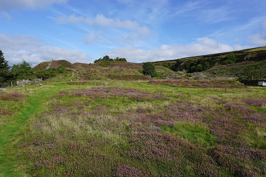
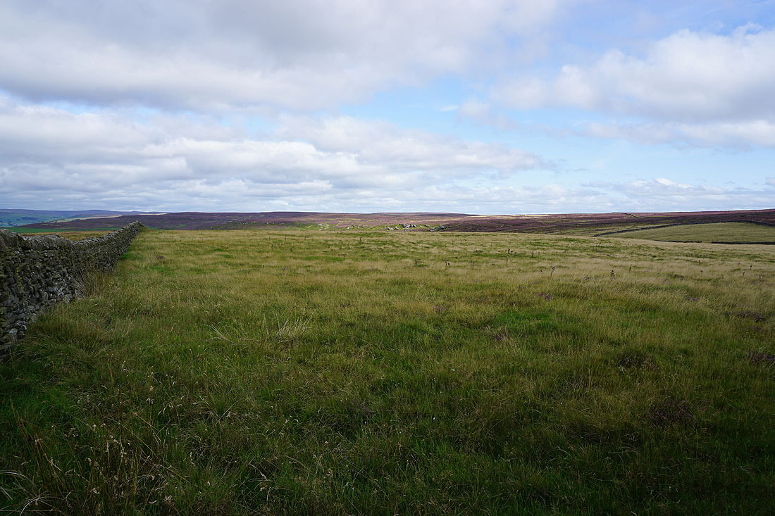
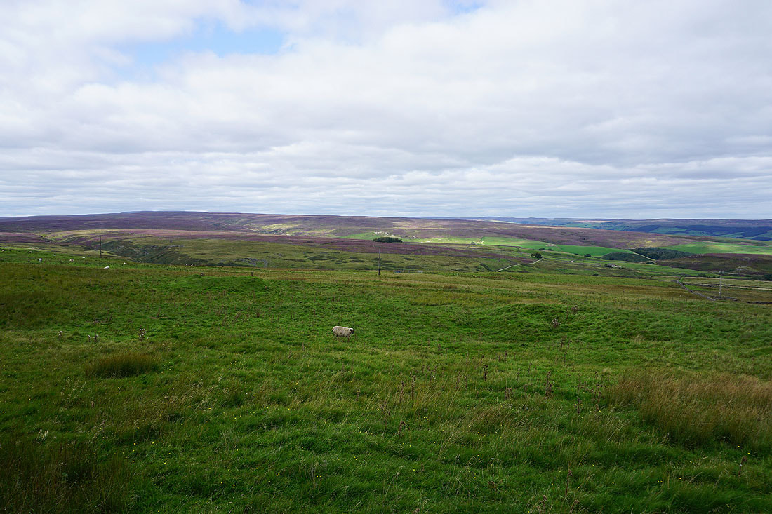
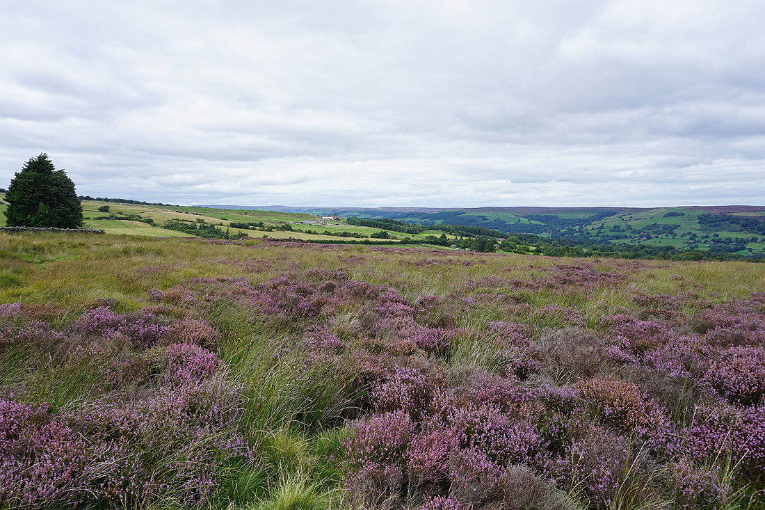
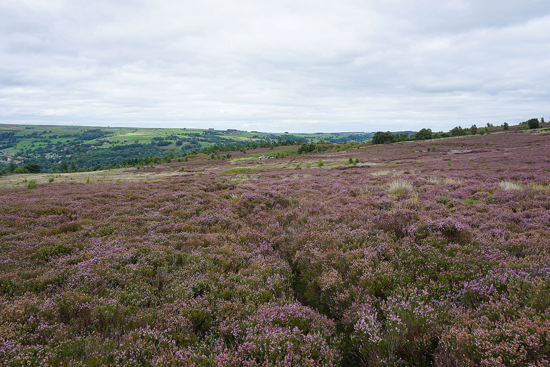
Heather in bloom on High Bishopside
Looking back across Nidderdale to Guise Cliff
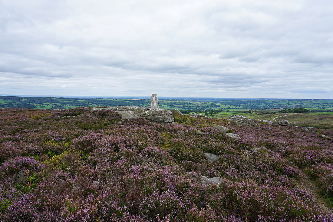
At the trig point on High Bishopside
Looking north there's a bit of sunshine on the rocks of Yeadon Crag..
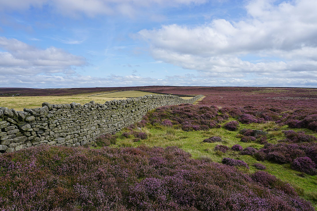
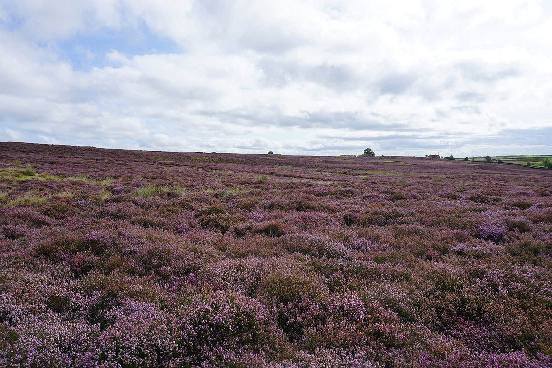
..as well as the heather covered moors of High Bishopside
To the northwest I can make out the moors around the top of Nidderdale
Having made my way back down access land to Wath Lane, walking down Wath Lane to Wath..

The Sportsman's Arms in Wath
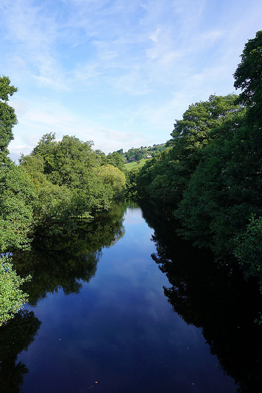
The River Nidd from Wath Bridge
Having crossed the road up Nidderdale, I take the footpath up through fields to Heathfield
On Grange Lane in the hamlet of Heathfield
From Heathfield I follow the Nidderdale Way across to Ashfold Side..
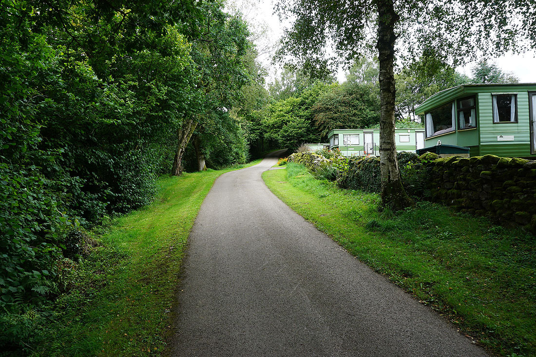
..and then west through Westfield Farm Caravan Park, and along the track above Ashfold Side Beck to the ruins of Prosperous Lead Mine..
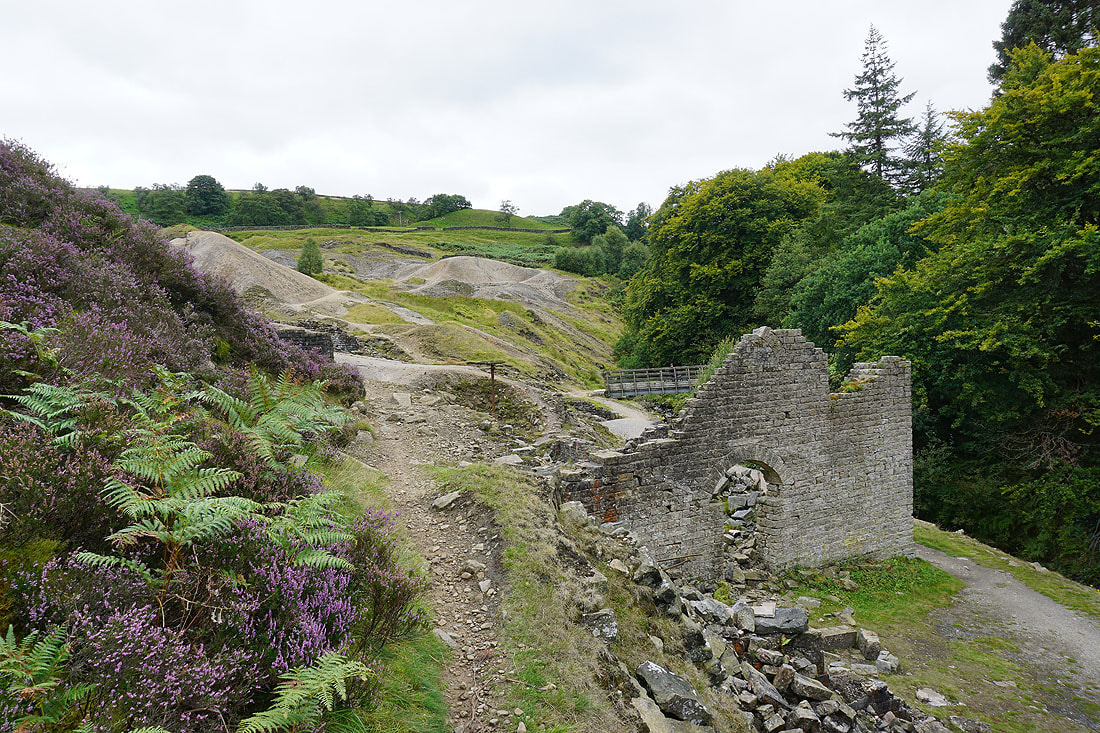
The ruins and spoil heaps of Prosperous Lead Mine..
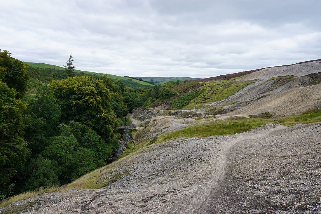
After a break for lunch I leave the mine workings on the Nidderdale Way..
Looking back across Ashfold Side to Heathfield Moor
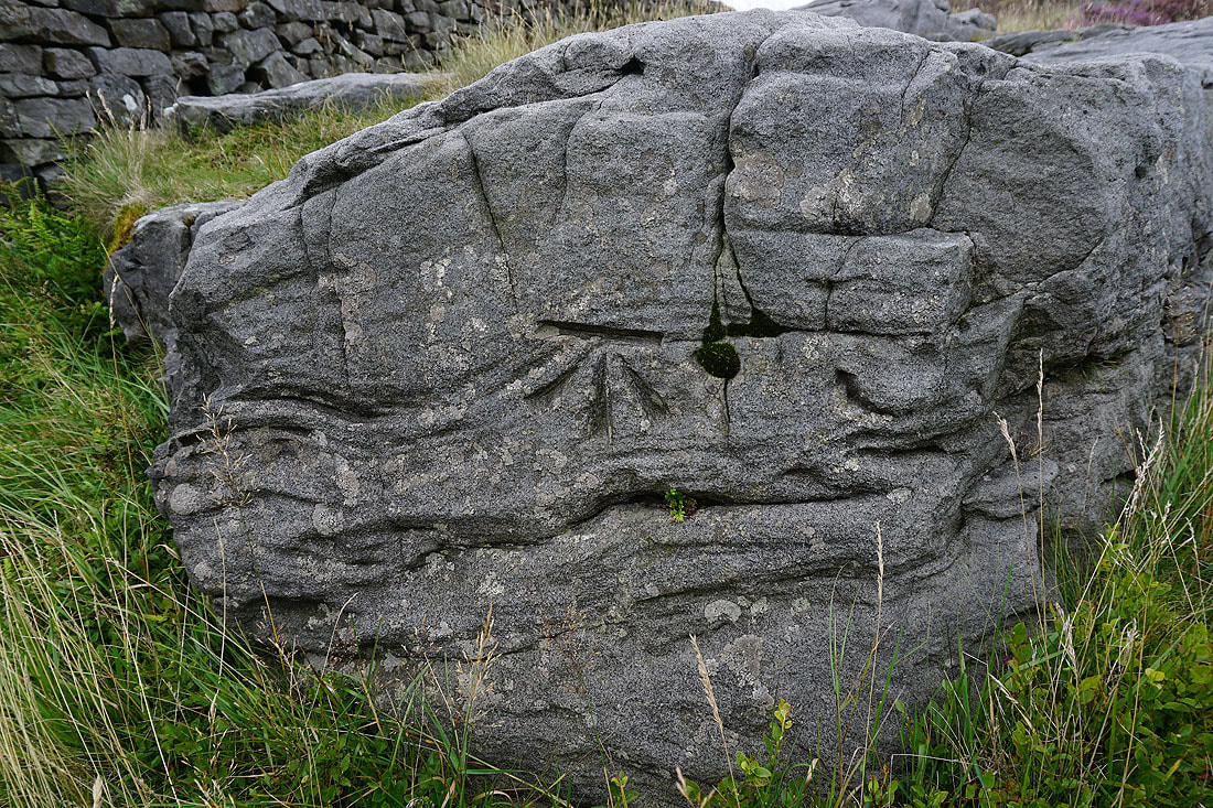
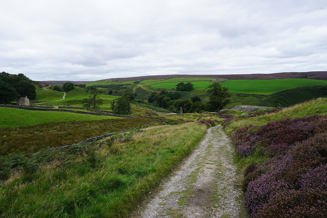
Next to the track I spot an OS benchmark on a boulder
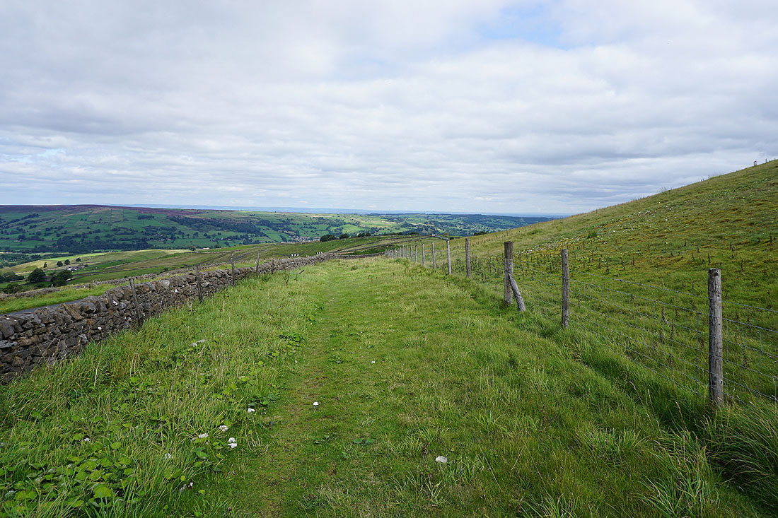
Just ahead I'll leave the Nidderdale Way and take the footpath to Greenhow, up the track on the right..
Looking back to the hill of Nabs
and down the valley of Brandstone Beck
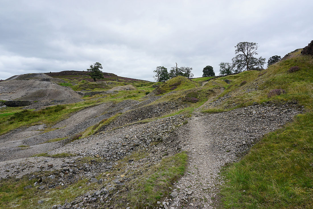
Making my way through the disused mine workings on Bewerley Moor..
At Low Far Side
From Low Far Side I follow the footpath up to Far Side
Looking across to Low Far Side and Ravenstone Moor from the track from Far Side up to Greenhow
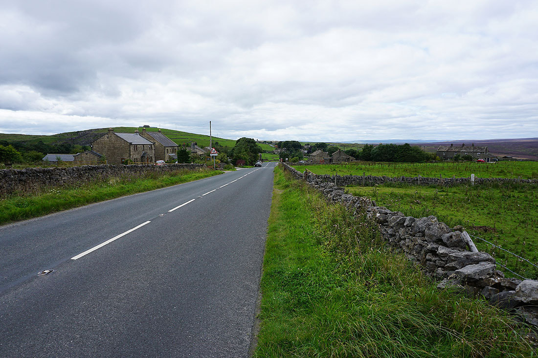
In the village of Greenhow, which is strung out along the B6265
A view north to Hardcastle Moor and Heathfield Moor on the western side of Nidderdale from the side of the road
A concessionary path gets me off the road as I walk past Coldstones Quarry
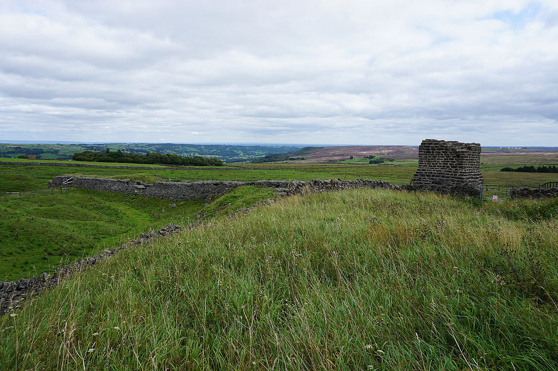
At the ruins of the Toft Gate Lime Kiln
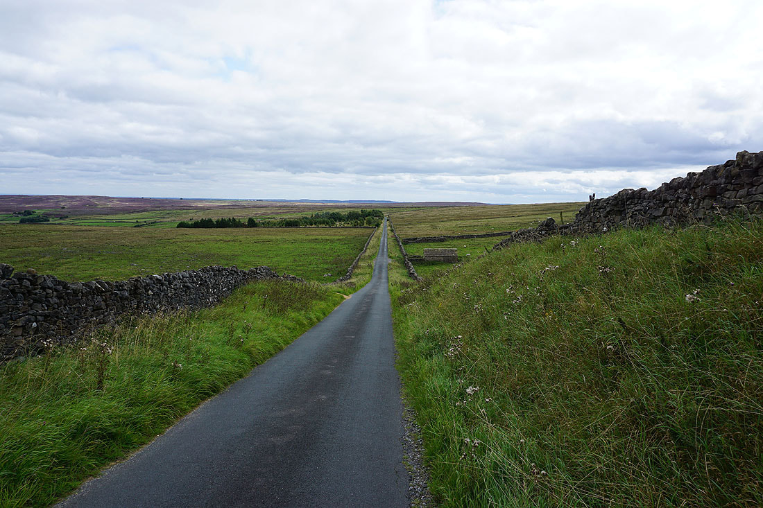
From the Toft Gate Lime Kiln I have a walk down the road to Bewerley..
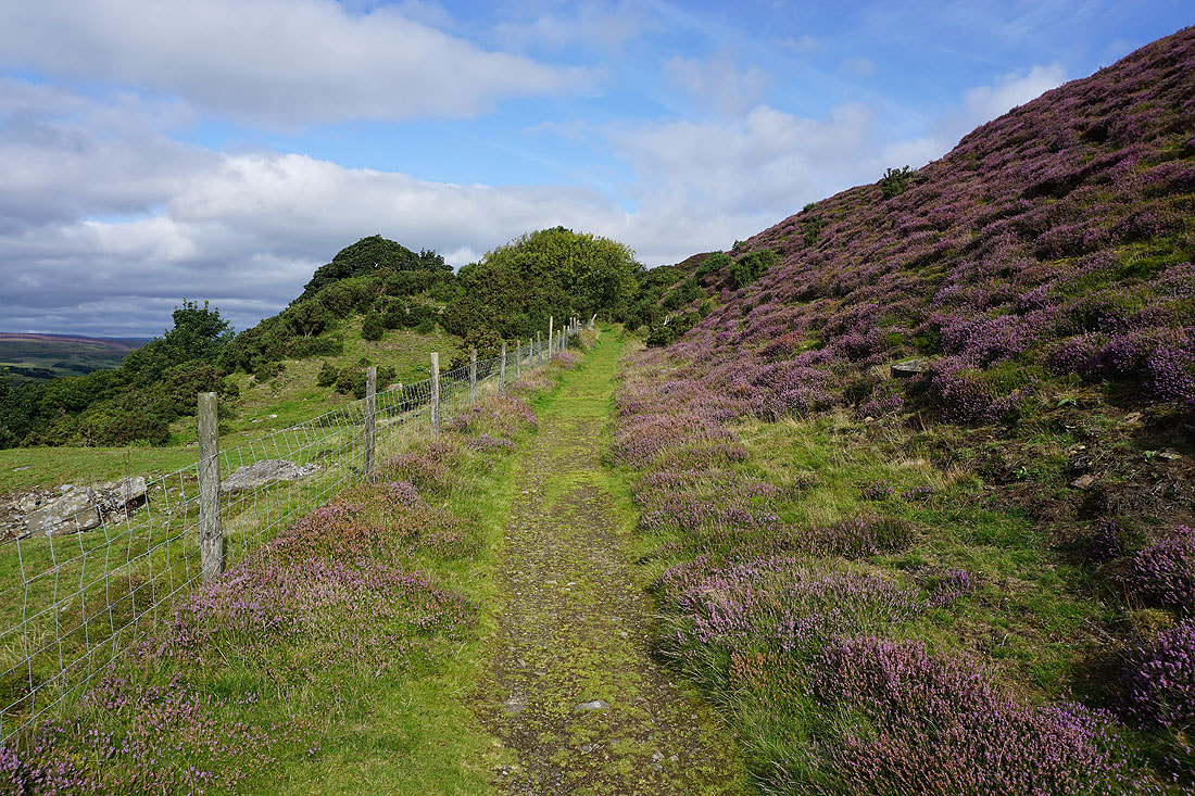
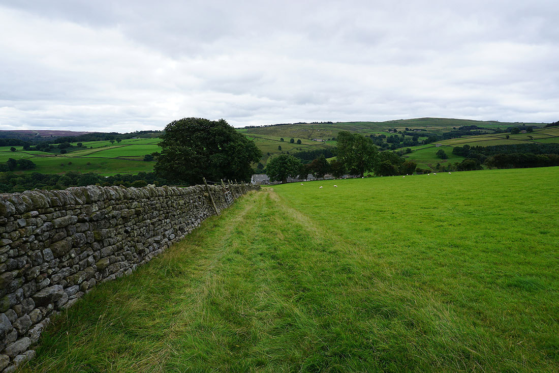
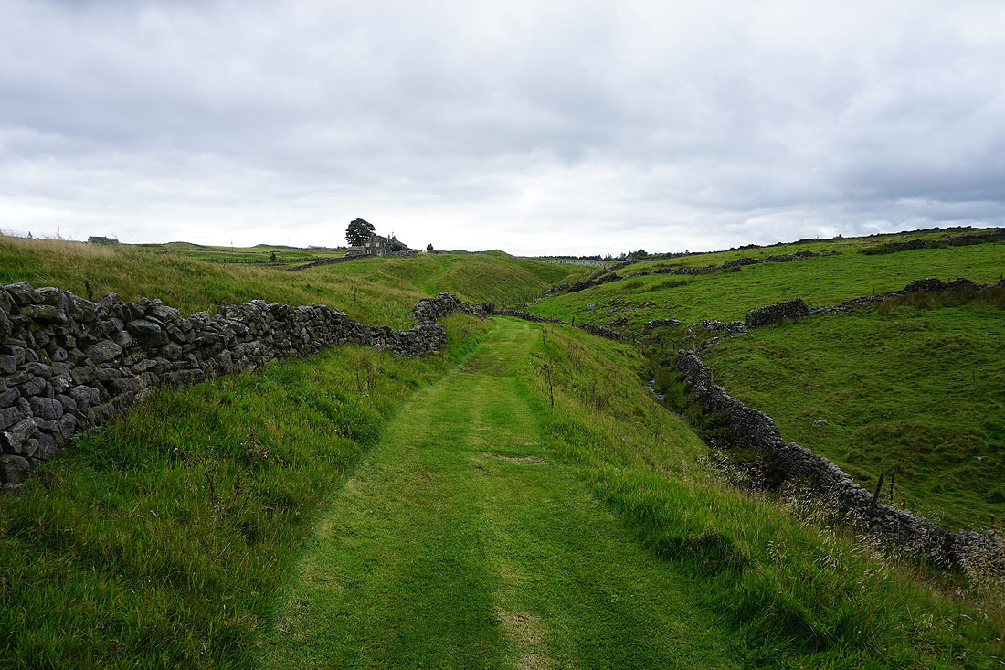
..to reach a footpath on the left which will take me to Low Moor
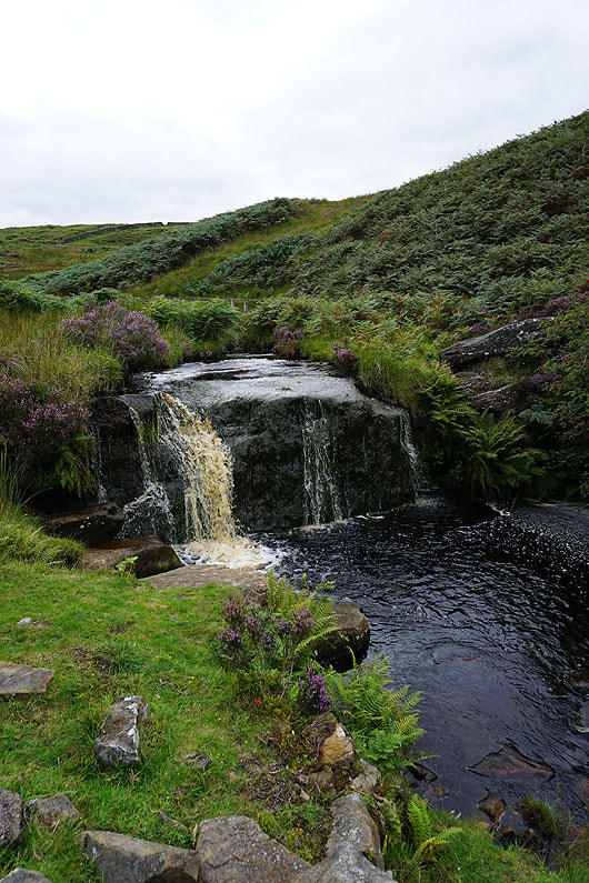
Following the path down by Gill Beck and past Moor Houses
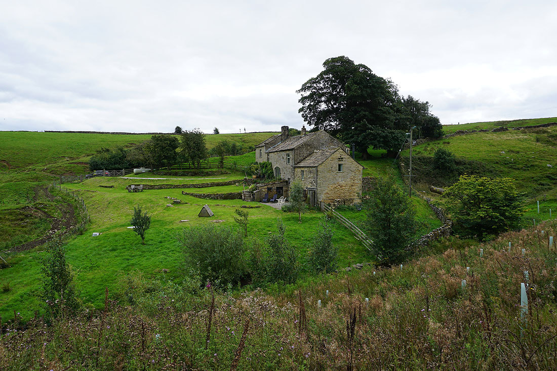
Approaching Gillbeck Farm
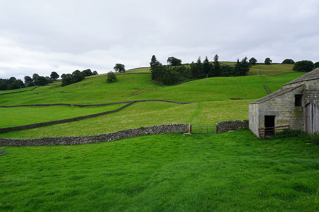
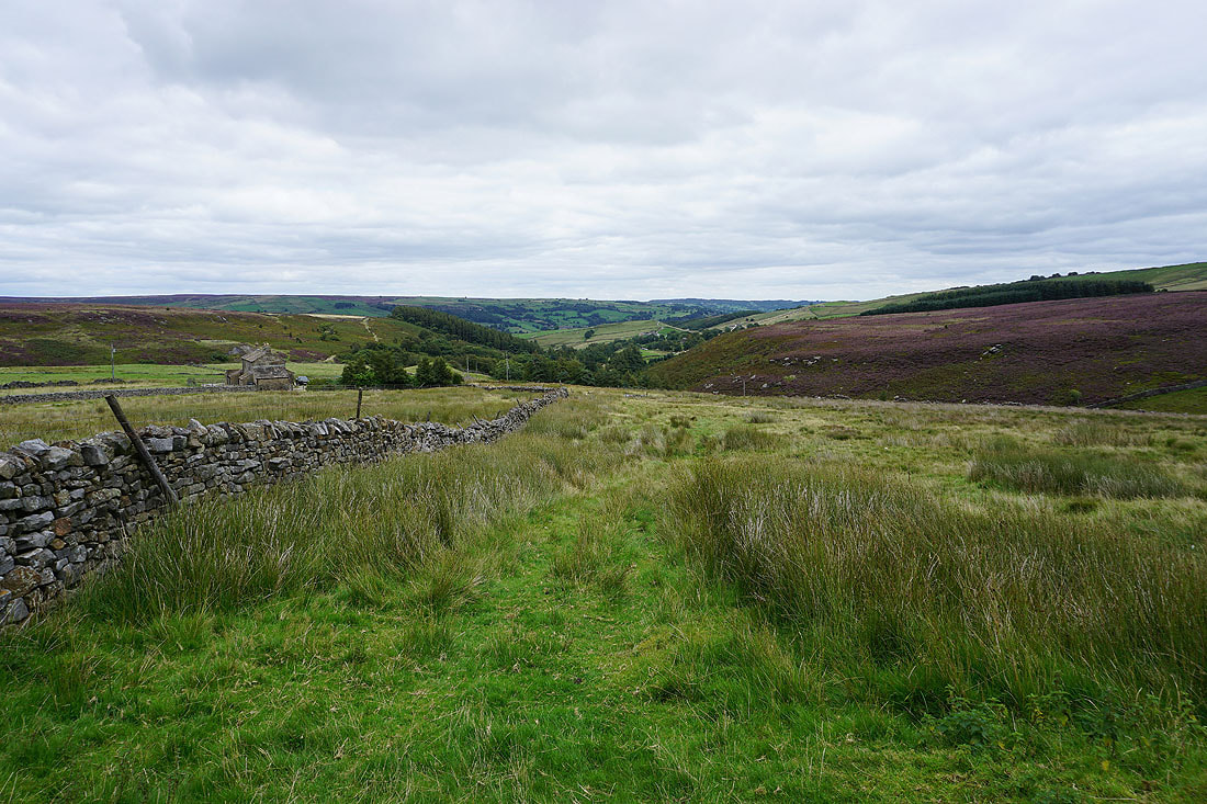
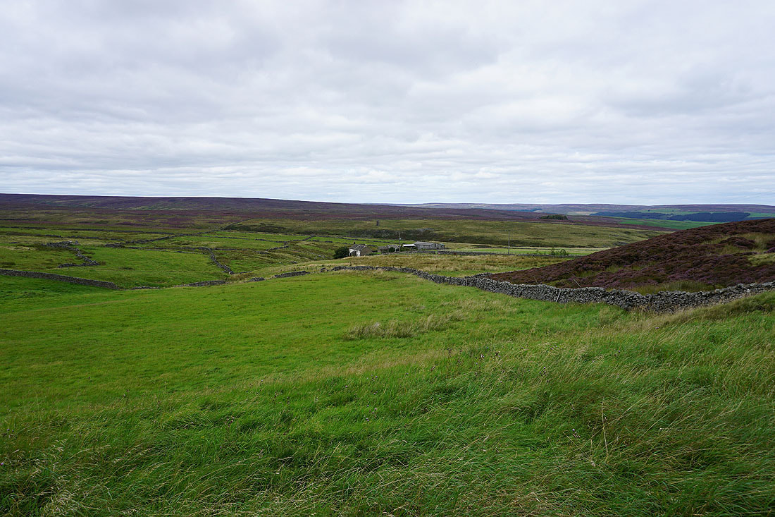
On Low Moor. Looking back to Moor Houses with Bewerley Moor above.
Following the bridleway across Low Moor
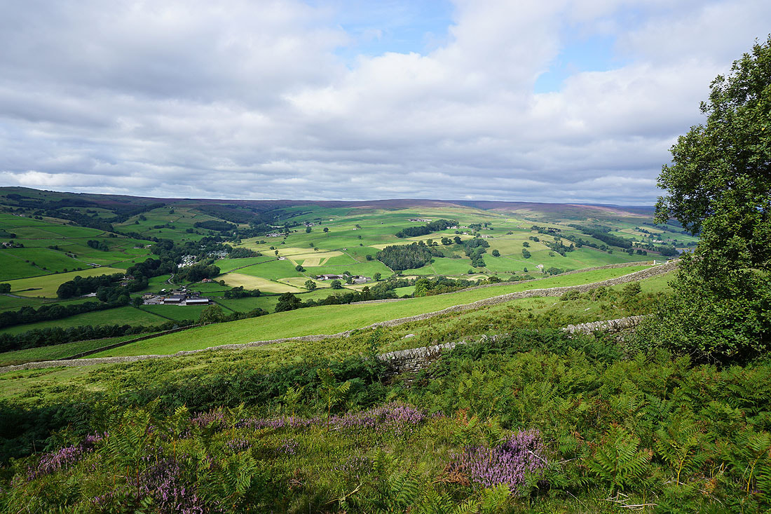
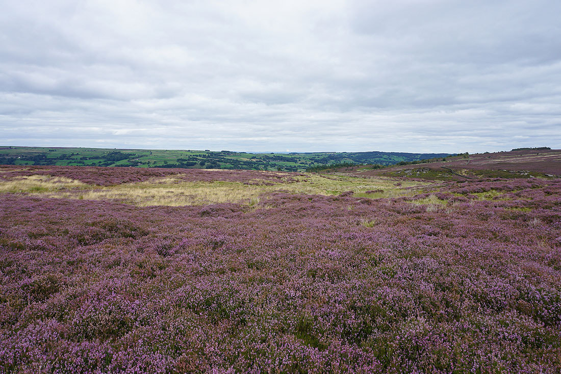
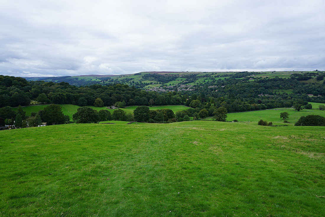
Taking in the views across Nidderdale from Low Moor...
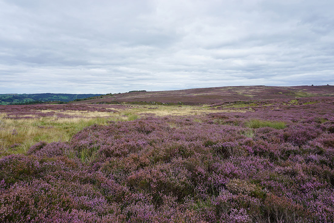
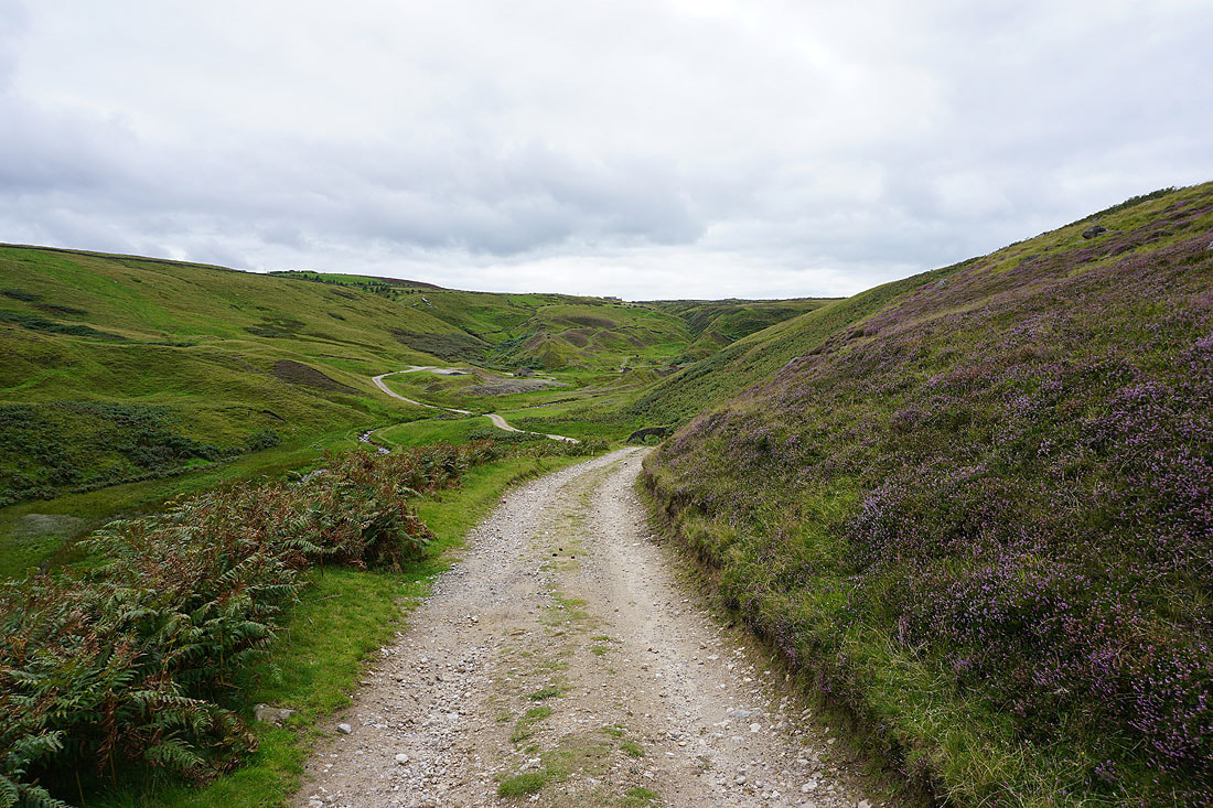
The bridleway heads south towards Flat Moor
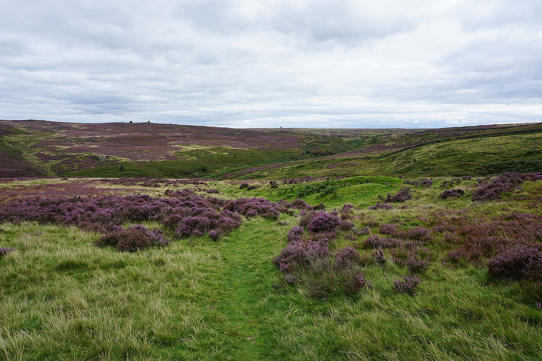
I leave the bridleway on Low Moor for a footpath down to Fosse Gill and up onto Nought Moor....
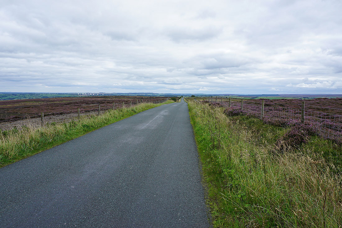
Walking up Nought Moor Road
Looking back north up Nidderdale
I can make out the radomes on Menwith Hill in the distance as the road crosses Heyshaw Moor
Off the road and onto the footpath to the High Crag trig point on Heyshaw Moor
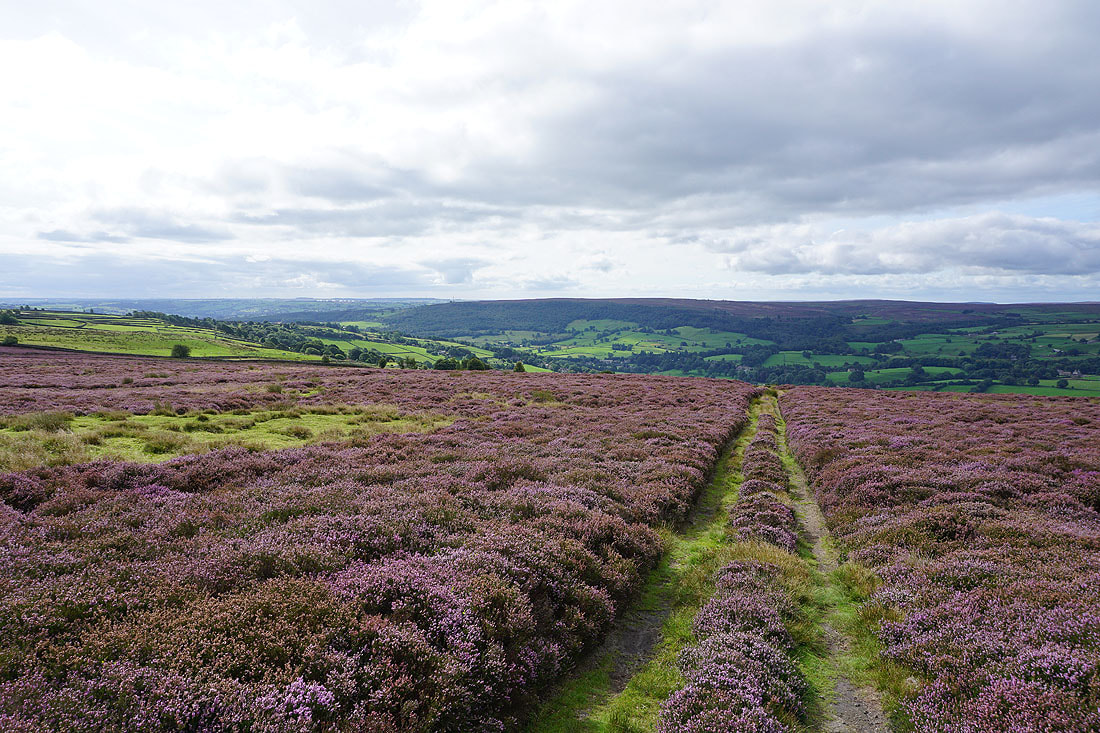
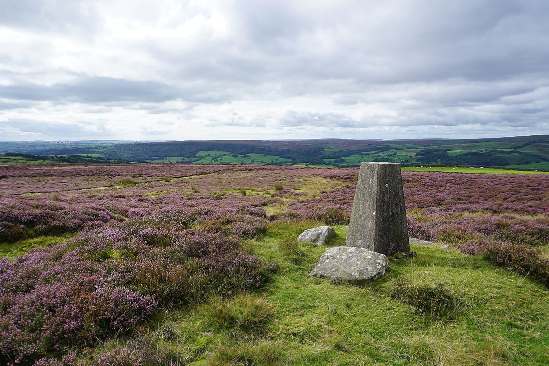
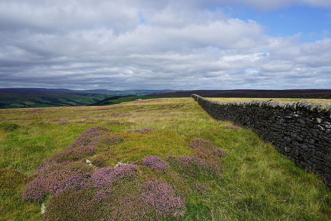
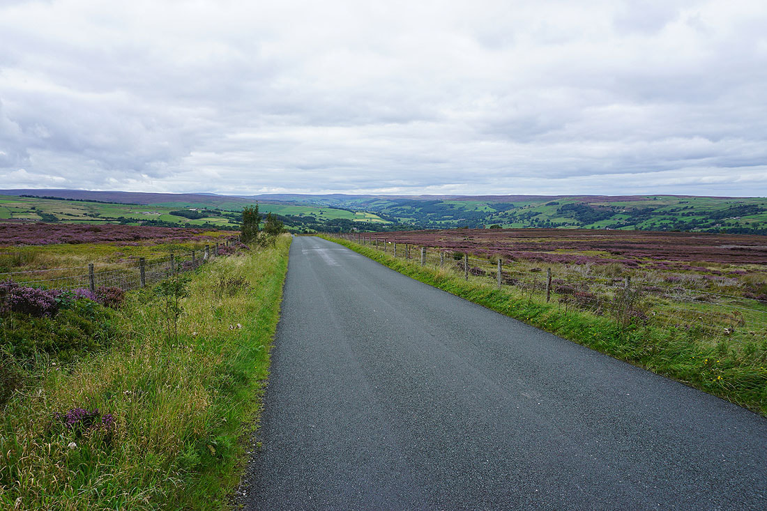
At the High Crag trig point, with a great view down Nidderdale
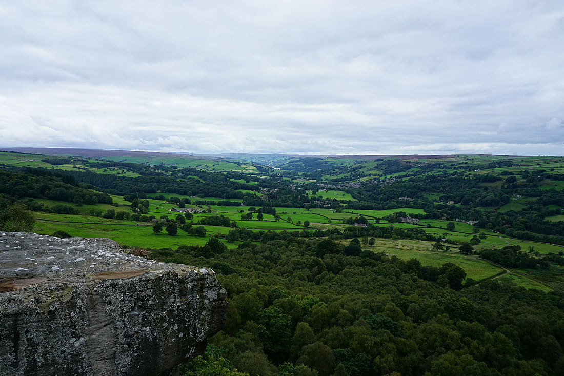
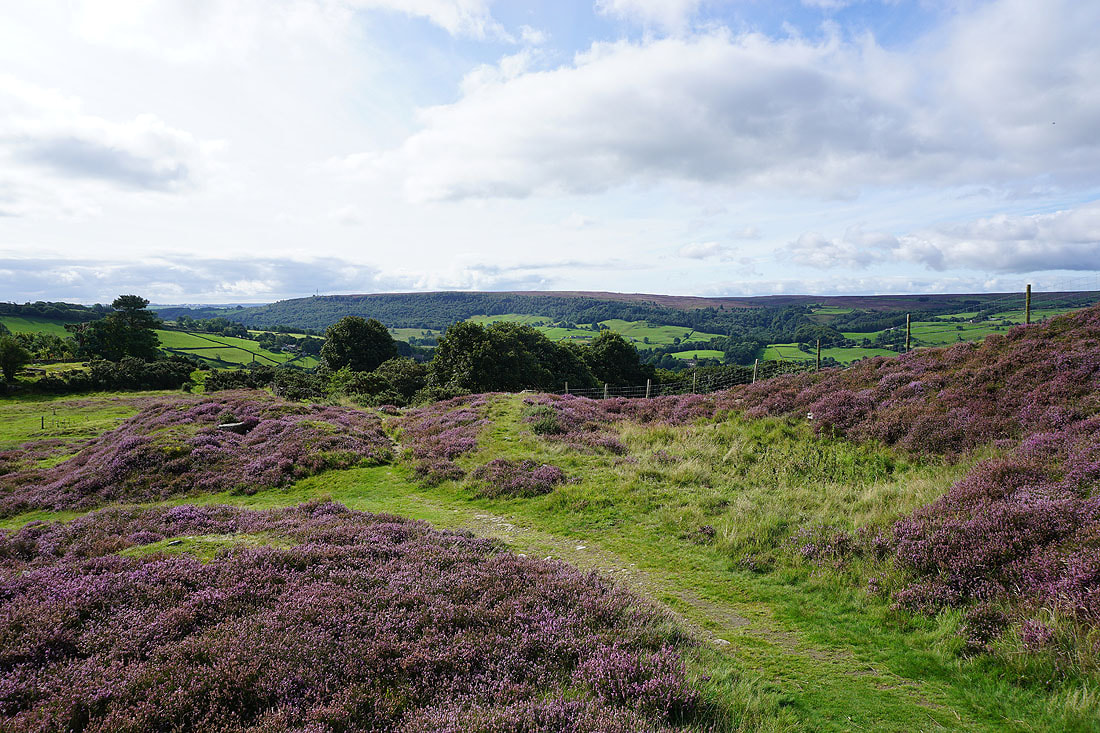
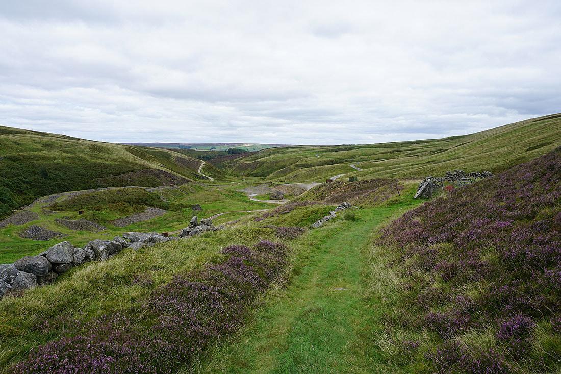
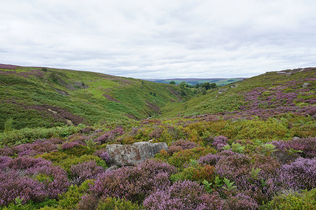
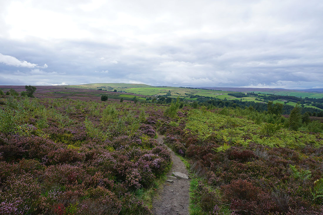
It's a short walk from the trig point to reach Guise Cliff, and although there's no sunshine there's still a good view to be had. Looking up Nidderdale to Gouthwaite Reservoir and Pateley Bridge.
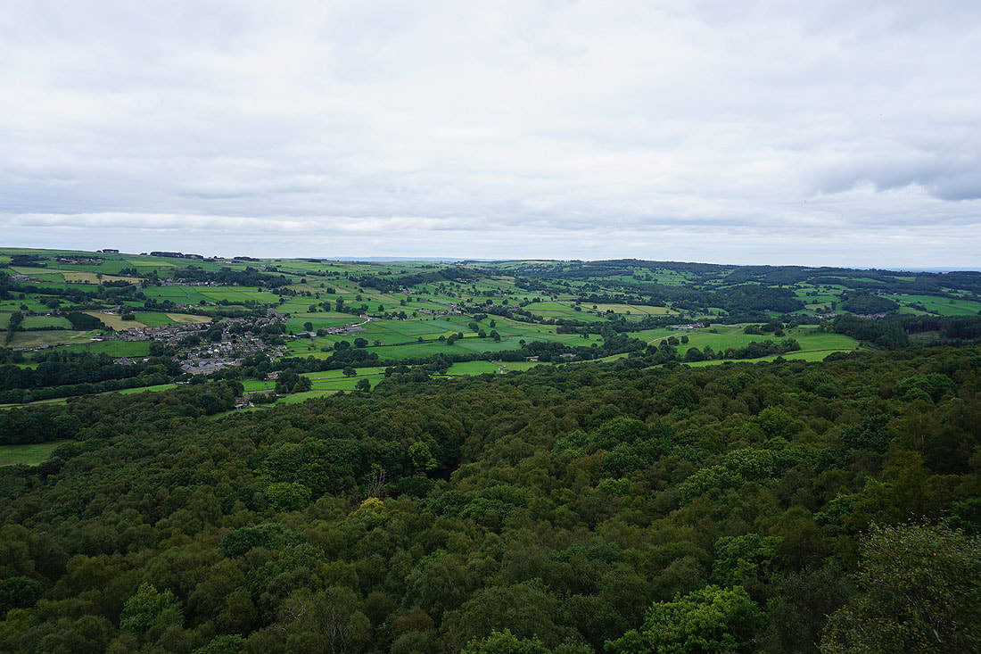
and across Nidderdale to the village of Glasshouses, with Brimham Moor in the distance on the right
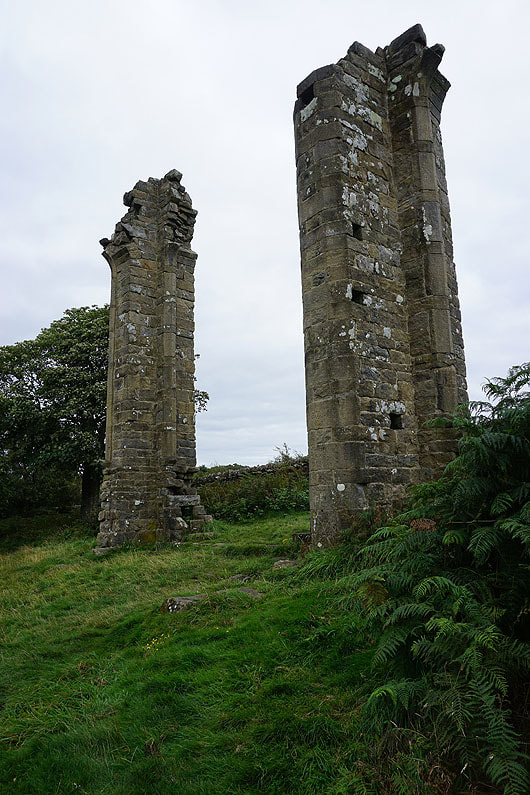
The ruins of Yorke's Folly
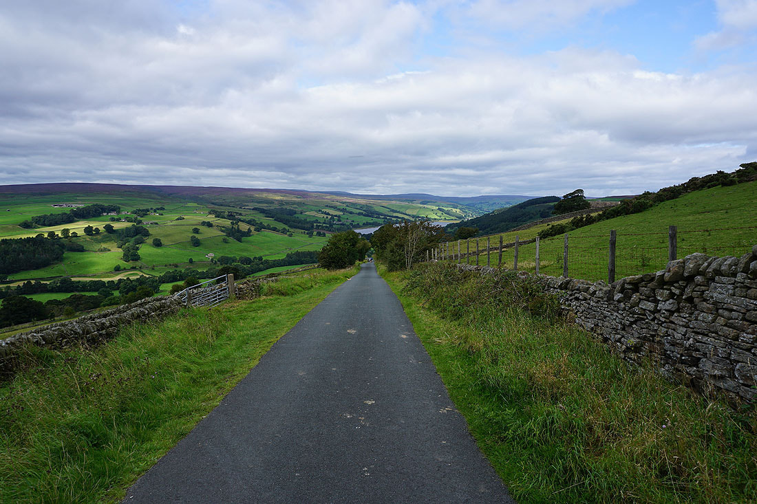
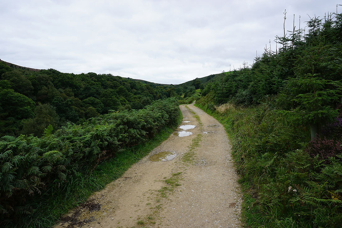
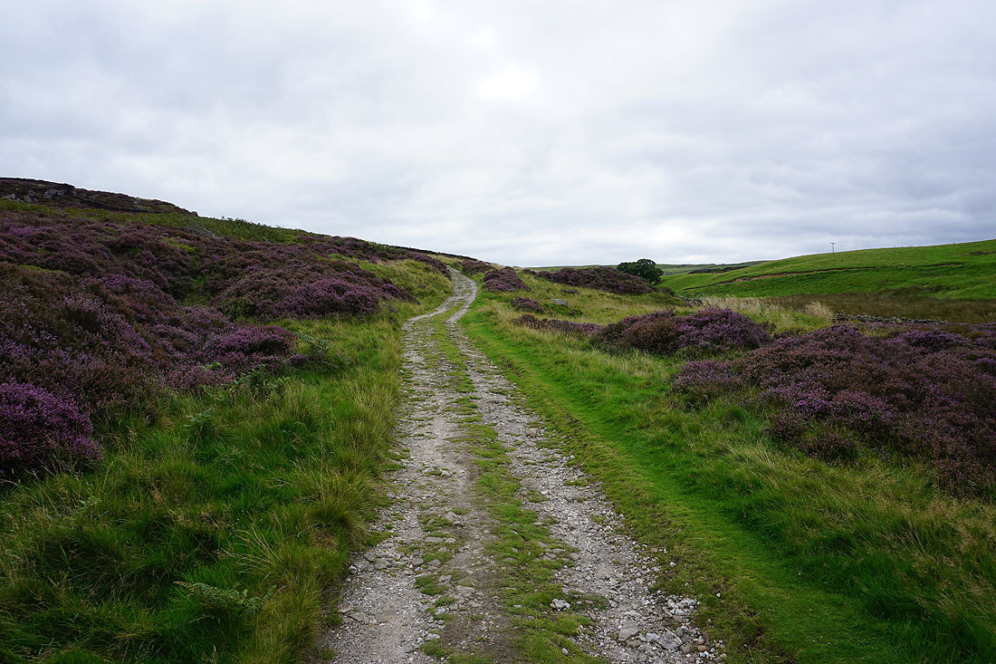
From Yorke's Folly I follow the Nidderdale Way down to Nought Bank Road
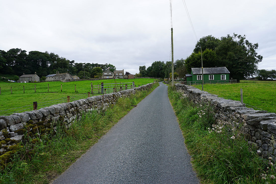
Heading back to Pateley Bridge..
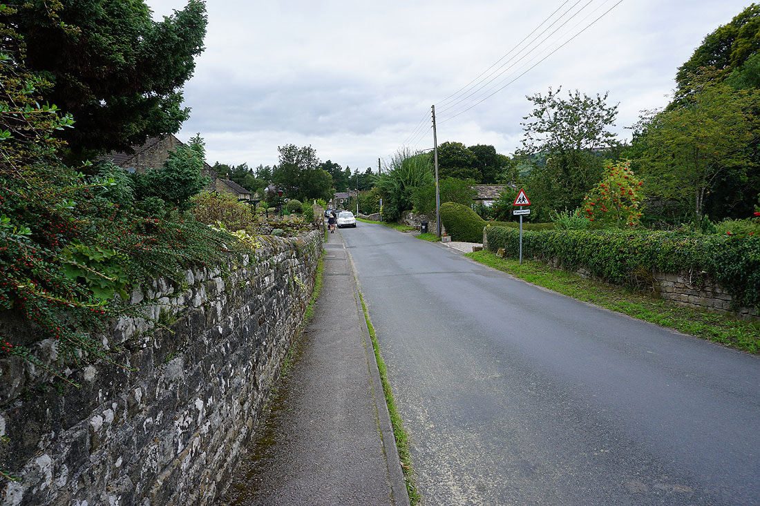
..via Bewerley