8th September 2023 - Caton Moor
Walk Details
Distance walked: 12.2 miles
Total ascent: 1584 ft
OS map used: OL41 - Forest of Bowland & Ribblesdale
Time taken: 6 hrs
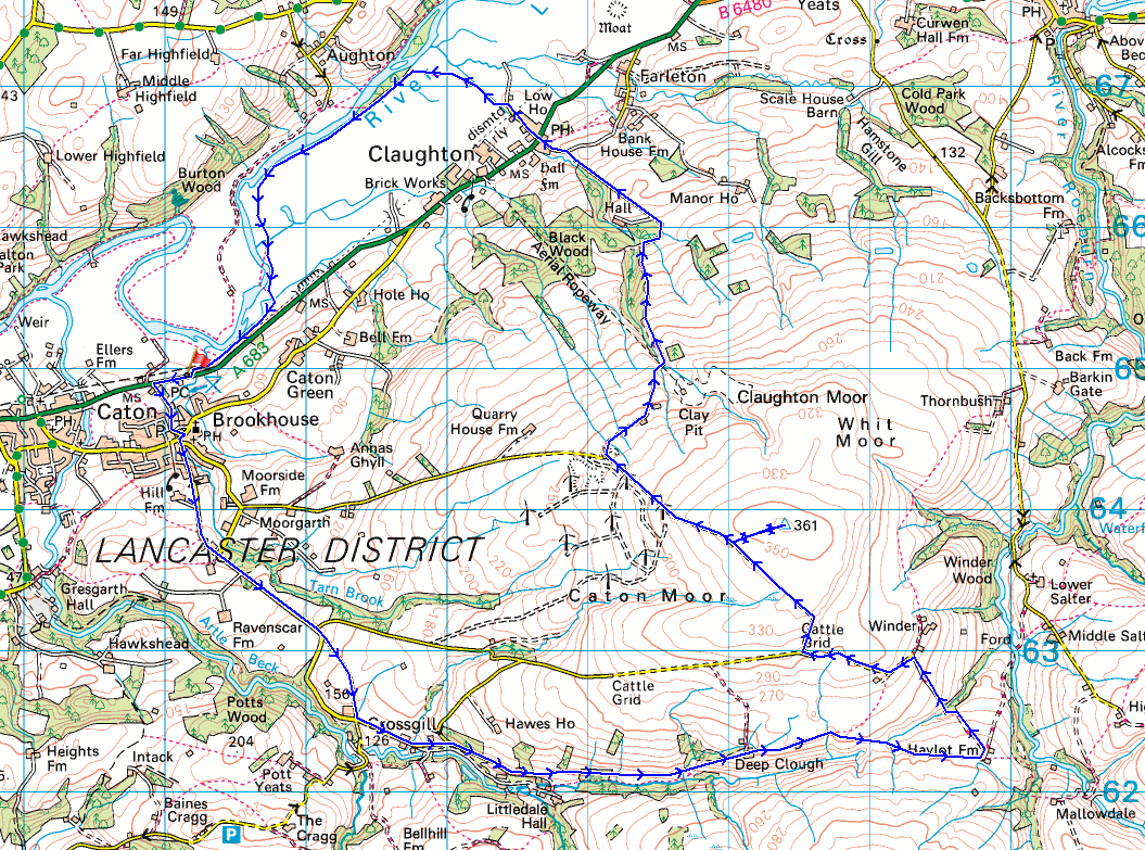
Route description: Bull Beck picnic site, A683-Holme Lane-Brookhouse-Littledale Road-Crossgill-Littledale Road-Littledale-Deep Clough-Deep Clough Farm-Haylot Farm-Roeburndale Road-Caton Moor-Quarry Road-Moorcock Hall-Claughton-Low Lane-River Lune-Bull Beck picnic site, A683
There are still a few places in the Forest of Bowland that I'm not familiar with, Caton Moor being one of them, and after today's walk that's no longer the case. It wasn't that easy to come up with a circular route to take it in though. It doesn't help that there are no public footpaths across it, so knowing that a means of crossing access land was available was essential. Fortunately a track leaves Roeburndale Road and crosses the moor to the top of Quarry Road, so once I'd found that out it was just a case of joining up the dots, although there was a bit too much of walking along roads for my liking. I enjoyed some lovely early autumn weather for this walk, with lots of blue skies and sunshine, but haze restricting the views to those of the nearby fells. A return visit will have to be planned when I have guaranteed good visibility for taking in the view from Caton Moor.
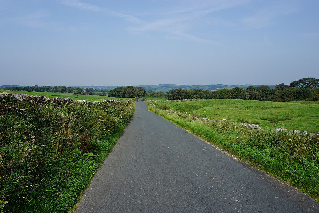
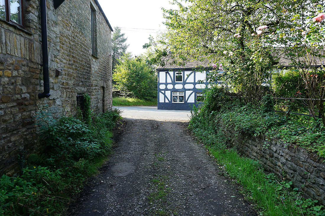
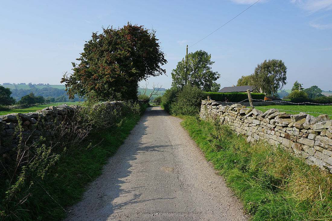
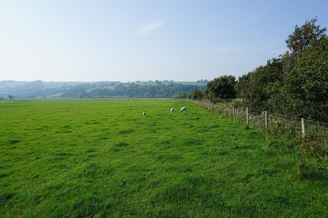
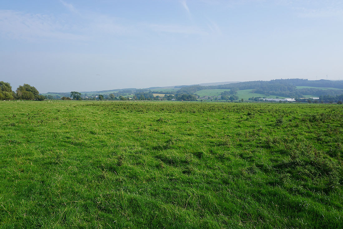
From the car park at the Bull Beck picnic site by the A683 I made my way out to the road, walked a short distance west along the verge, then south along Holme Lane to Brookhouse. After making my way through Brookhouse I walked south along Littledale Road to Crossgill, with a detour along a byway that met up with the road again at New House Farm. I turned left at this crossroads and walked down the road until I reached a sharp left hand bend where I took a public footpath along a track into a conifer plantation. I followed this footpath east up Littledale to eventually reach Deep Clough and Deep Clough Farm. At Deep Clough Farm I made my way through the farmyard, then took the footpath east past Middle Barn, down to and across Bladder Stone Beck to reach Haylot Farm, from where I took a byway north to the eastern end of Roeburndale Road. After a walk west up Roeburndale Road I reached a cattle grid and a track on the right, which I took up onto access land on Caton Moor. When I reached the top of the track where it goes through a wall I left it to make the short ascent to the trig point on Caton Moor, then returned to the track to follow it north down to the end of Quarry Road. From there I took a bridleway east past Moorcock Hall, then north down to the A683 in Claughton, which I crossed to walk north down Low Lane. When I reached a public footpath on the left I took this and followed it north to the south bank of the River Lune, then west and south by the river to eventually arrive by the A683. I was then left with a short walk west along the cycle trail by the road, and to cross the road back to the Bull Beck picnic site.
Total ascent: 1584 ft
OS map used: OL41 - Forest of Bowland & Ribblesdale
Time taken: 6 hrs
Route description: Bull Beck picnic site, A683-Holme Lane-Brookhouse-Littledale Road-Crossgill-Littledale Road-Littledale-Deep Clough-Deep Clough Farm-Haylot Farm-Roeburndale Road-Caton Moor-Quarry Road-Moorcock Hall-Claughton-Low Lane-River Lune-Bull Beck picnic site, A683
There are still a few places in the Forest of Bowland that I'm not familiar with, Caton Moor being one of them, and after today's walk that's no longer the case. It wasn't that easy to come up with a circular route to take it in though. It doesn't help that there are no public footpaths across it, so knowing that a means of crossing access land was available was essential. Fortunately a track leaves Roeburndale Road and crosses the moor to the top of Quarry Road, so once I'd found that out it was just a case of joining up the dots, although there was a bit too much of walking along roads for my liking. I enjoyed some lovely early autumn weather for this walk, with lots of blue skies and sunshine, but haze restricting the views to those of the nearby fells. A return visit will have to be planned when I have guaranteed good visibility for taking in the view from Caton Moor.
From the car park at the Bull Beck picnic site by the A683 I made my way out to the road, walked a short distance west along the verge, then south along Holme Lane to Brookhouse. After making my way through Brookhouse I walked south along Littledale Road to Crossgill, with a detour along a byway that met up with the road again at New House Farm. I turned left at this crossroads and walked down the road until I reached a sharp left hand bend where I took a public footpath along a track into a conifer plantation. I followed this footpath east up Littledale to eventually reach Deep Clough and Deep Clough Farm. At Deep Clough Farm I made my way through the farmyard, then took the footpath east past Middle Barn, down to and across Bladder Stone Beck to reach Haylot Farm, from where I took a byway north to the eastern end of Roeburndale Road. After a walk west up Roeburndale Road I reached a cattle grid and a track on the right, which I took up onto access land on Caton Moor. When I reached the top of the track where it goes through a wall I left it to make the short ascent to the trig point on Caton Moor, then returned to the track to follow it north down to the end of Quarry Road. From there I took a bridleway east past Moorcock Hall, then north down to the A683 in Claughton, which I crossed to walk north down Low Lane. When I reached a public footpath on the left I took this and followed it north to the south bank of the River Lune, then west and south by the river to eventually arrive by the A683. I was then left with a short walk west along the cycle trail by the road, and to cross the road back to the Bull Beck picnic site.
Route map
© Crown copyright. All rights reserved. License number PU 100034184.
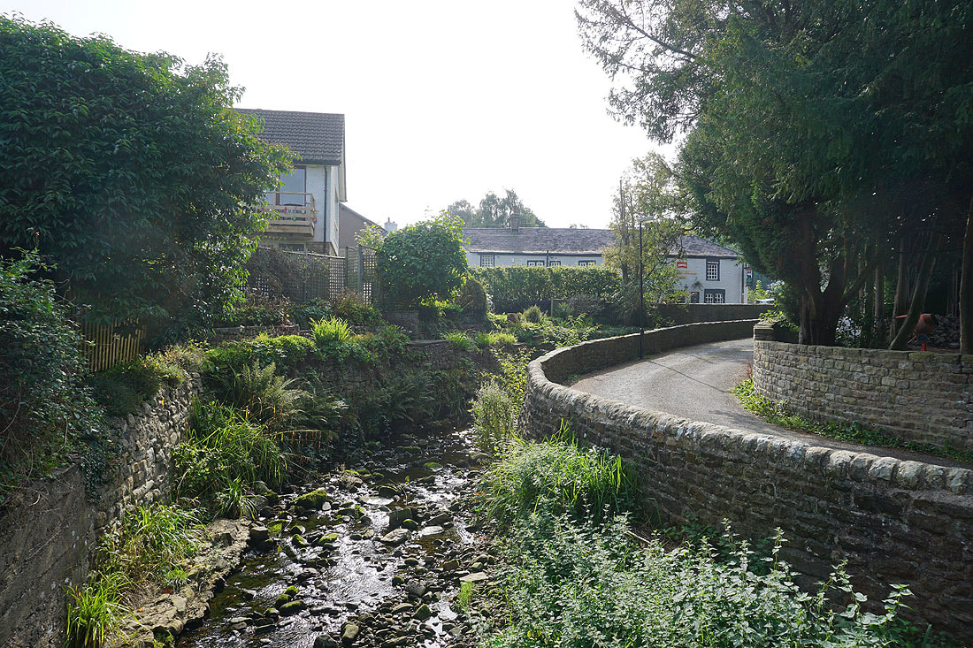
Bull Beck as I make my way through Brookhouse
Walking south up Littledale Road towards Crossgill..
Looking back down Littledale Road to the low hills on the other side of the River Lune
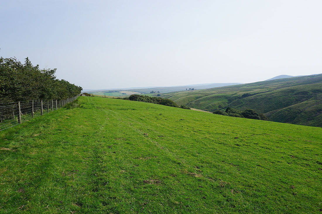
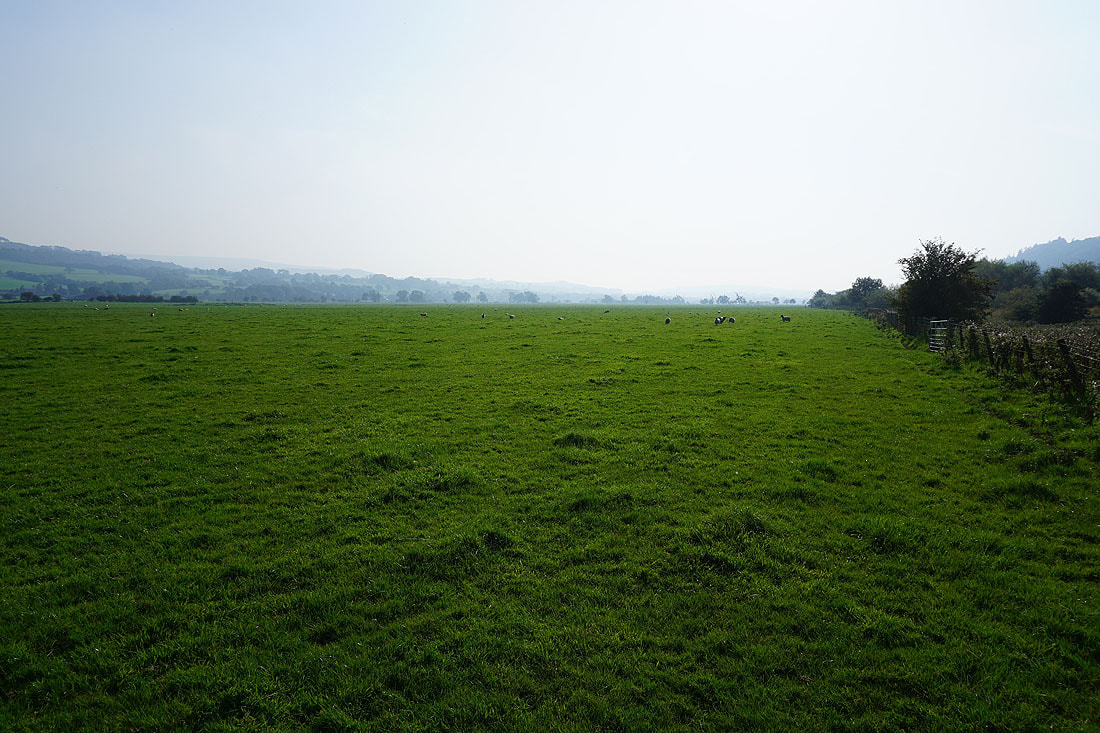
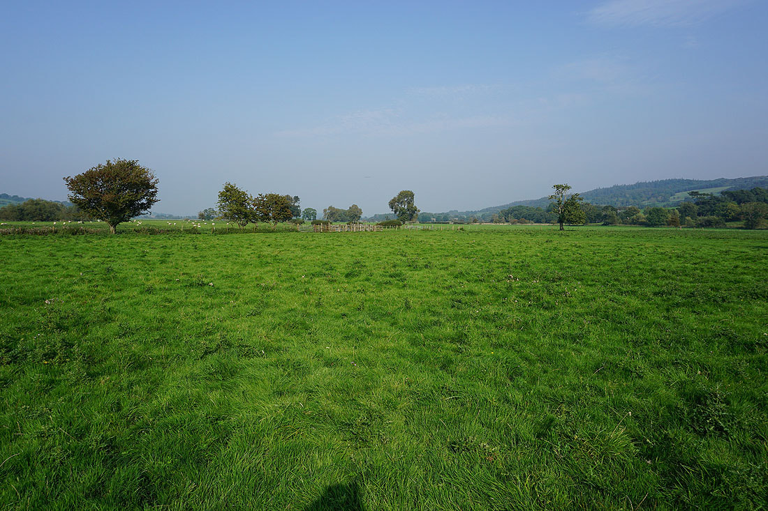
Views of the surrounding countryside..
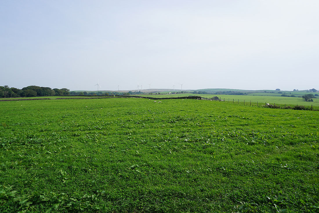
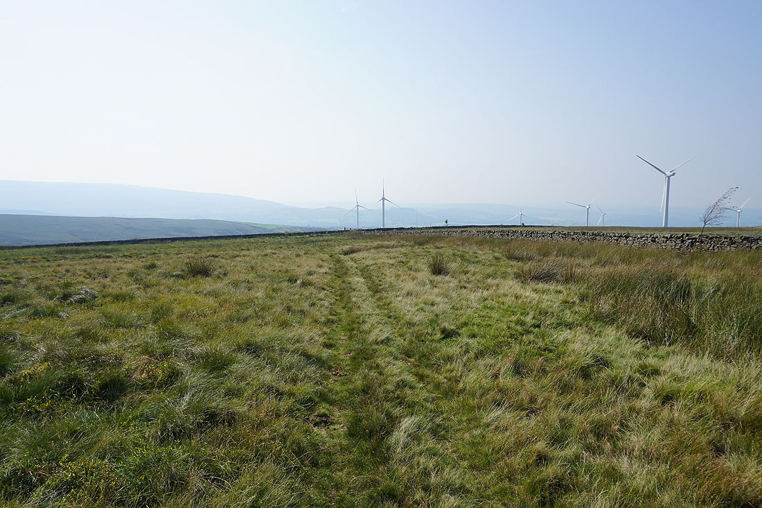
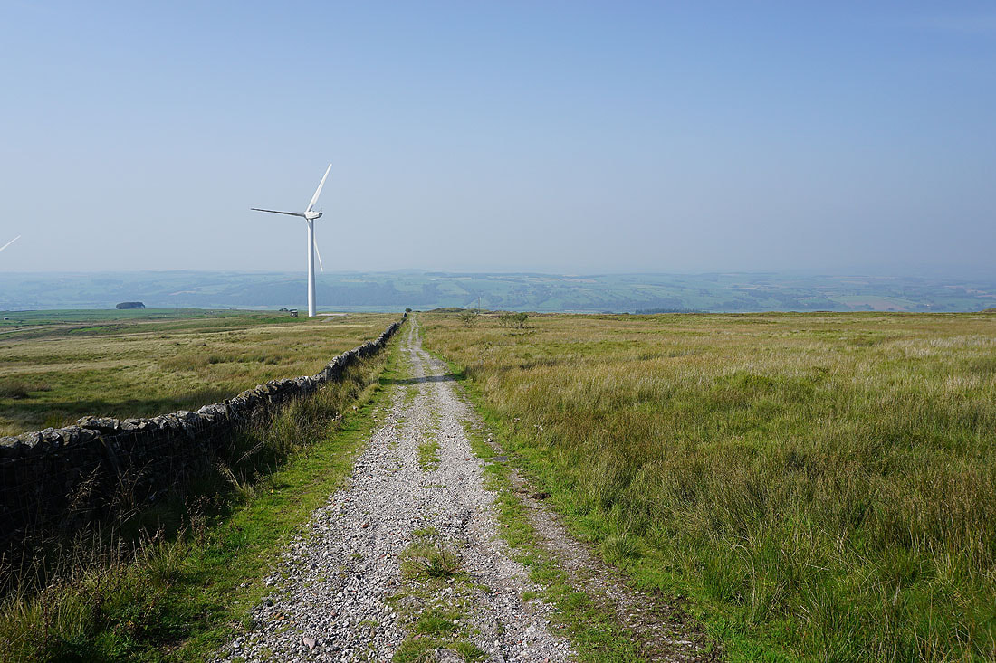
..including the wind farm on Caton Moor
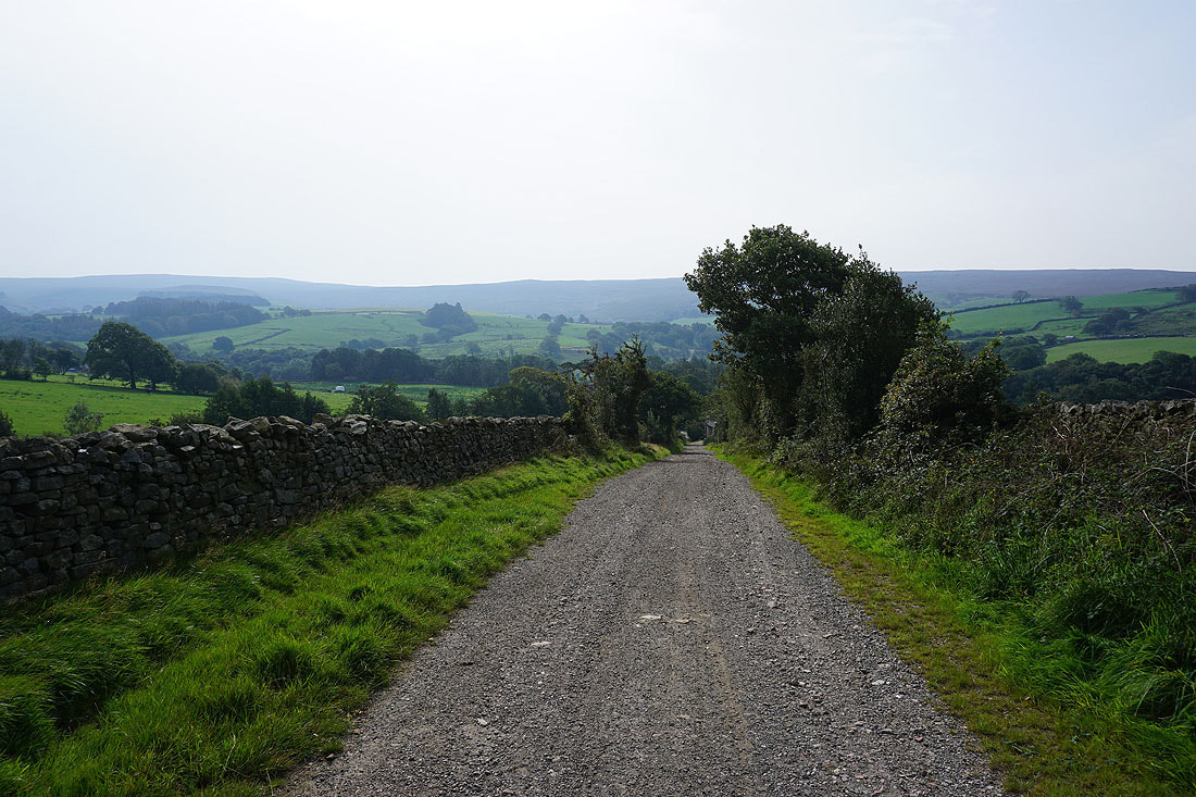
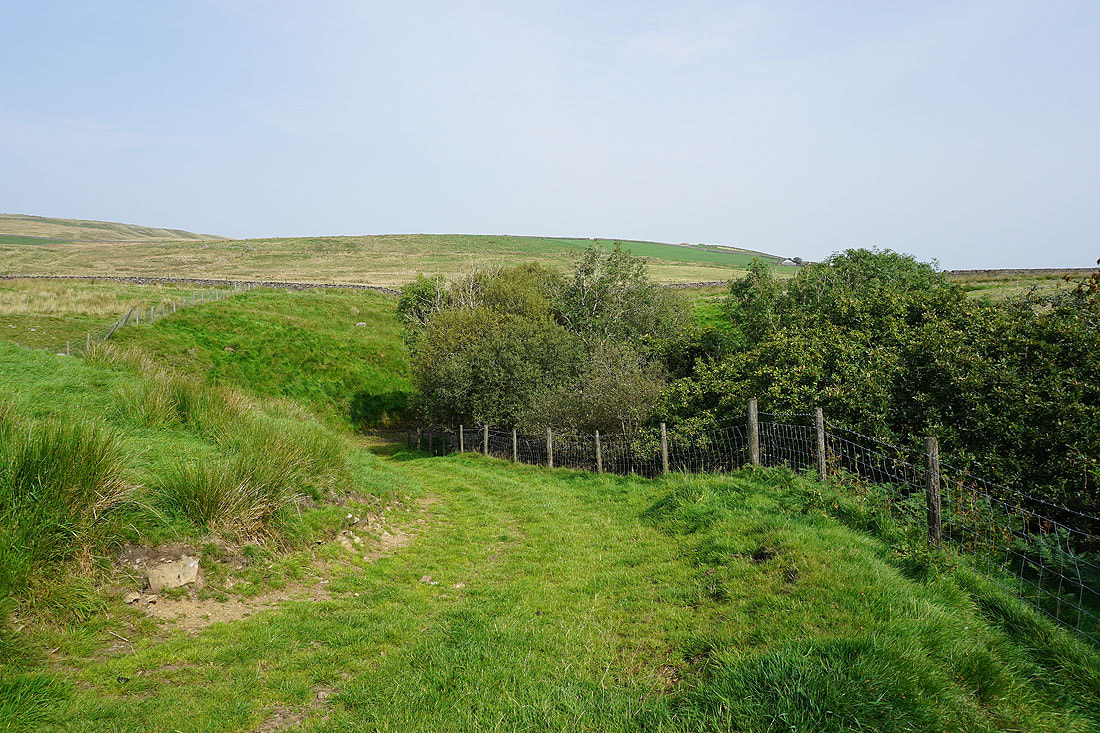
A byway gets me off the road for a while for the walk down to Crossgill in Littledale

Back to walking east along Littledale Road
To my right, the northern slopes of Grit Fell on the other side of Littledale
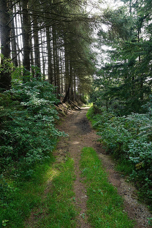
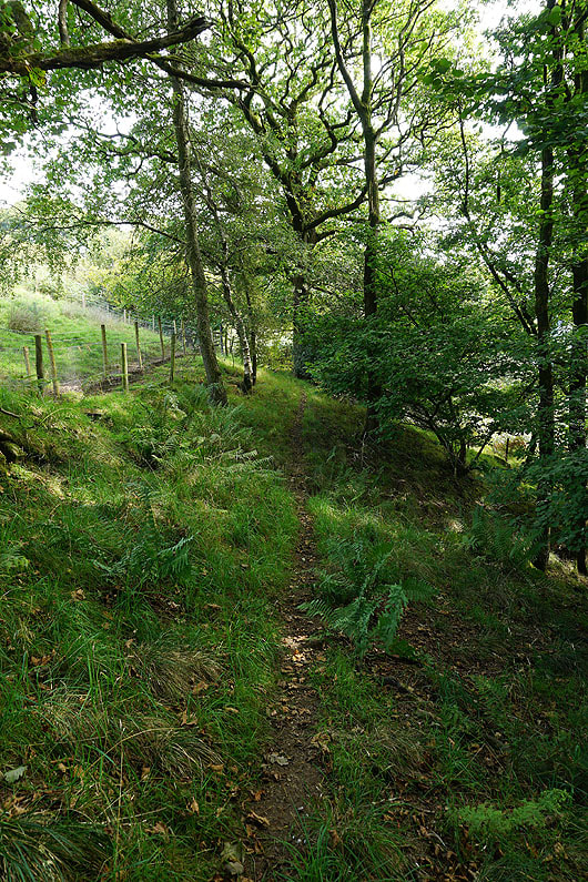
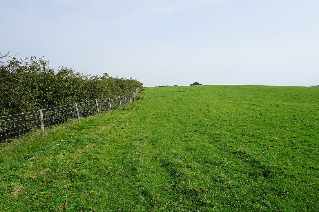
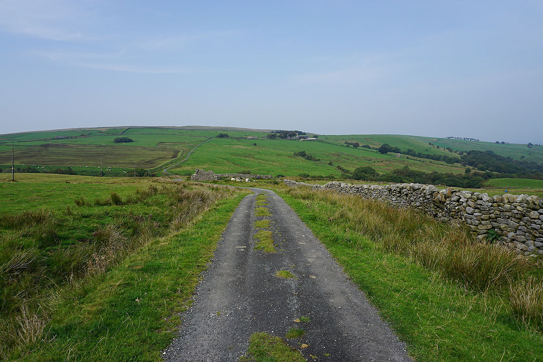
Off the road at last as I take a footpath east up Littledale..
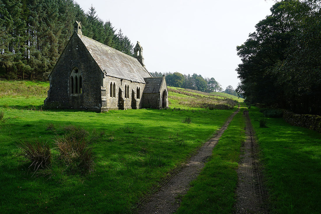
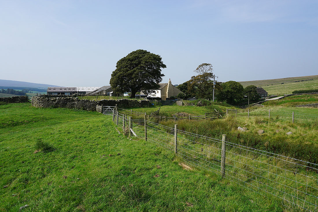
Passing the derelict Reverend John Dodson's Free Church. Built in 1849 but now used to store farming paraphernalia.
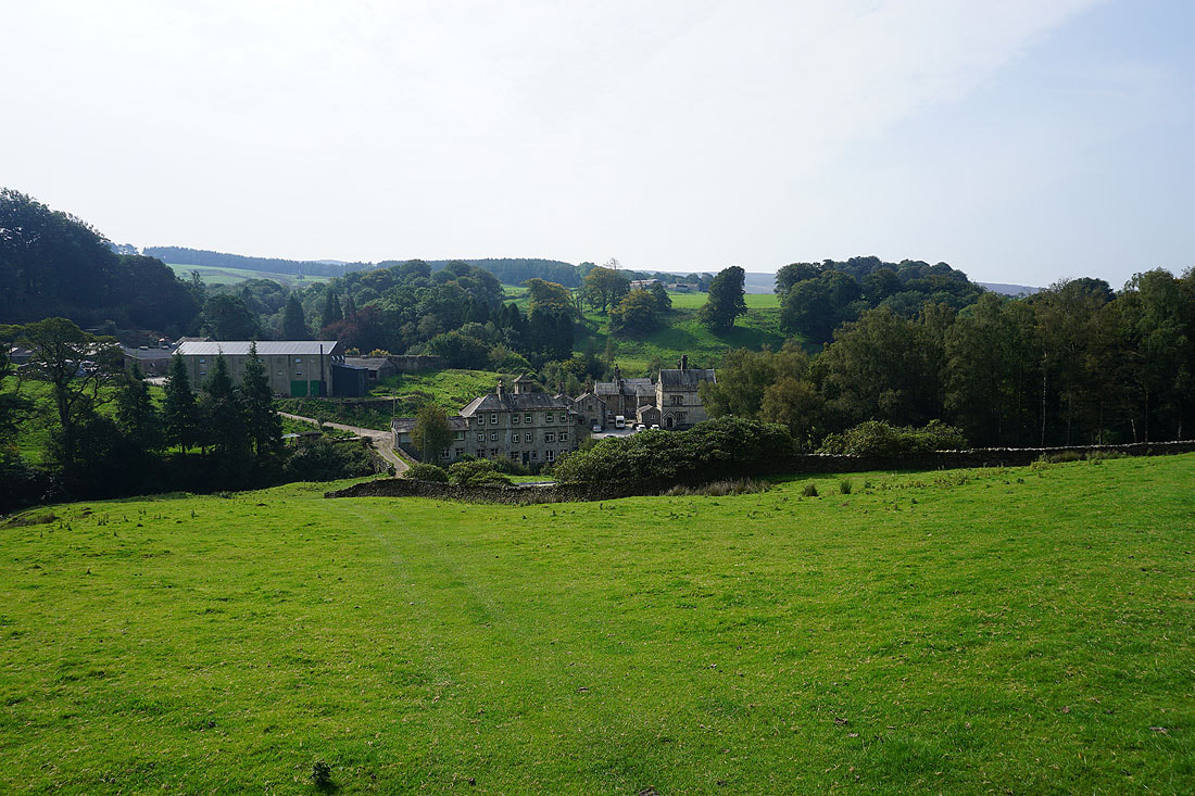
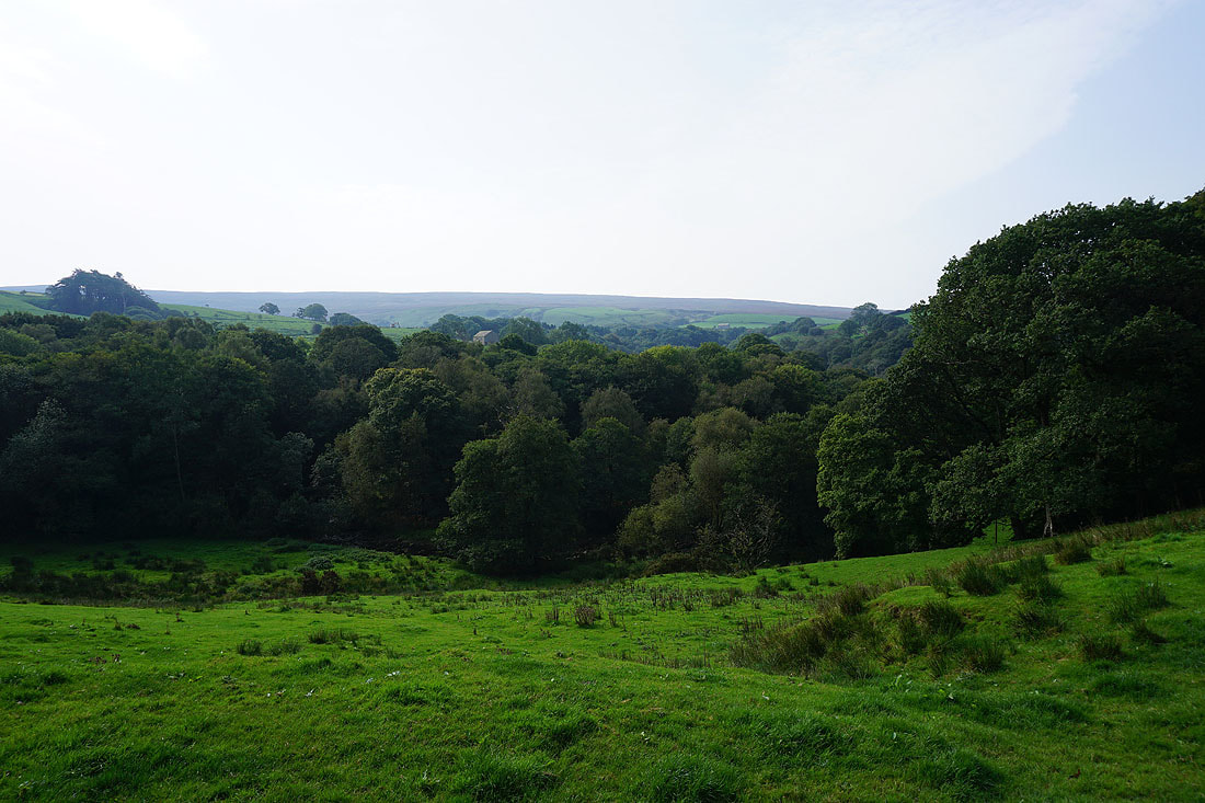
Littledale Hall below
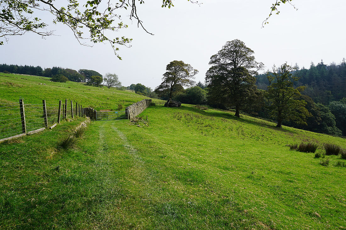
My route continues east through the top of a wood..
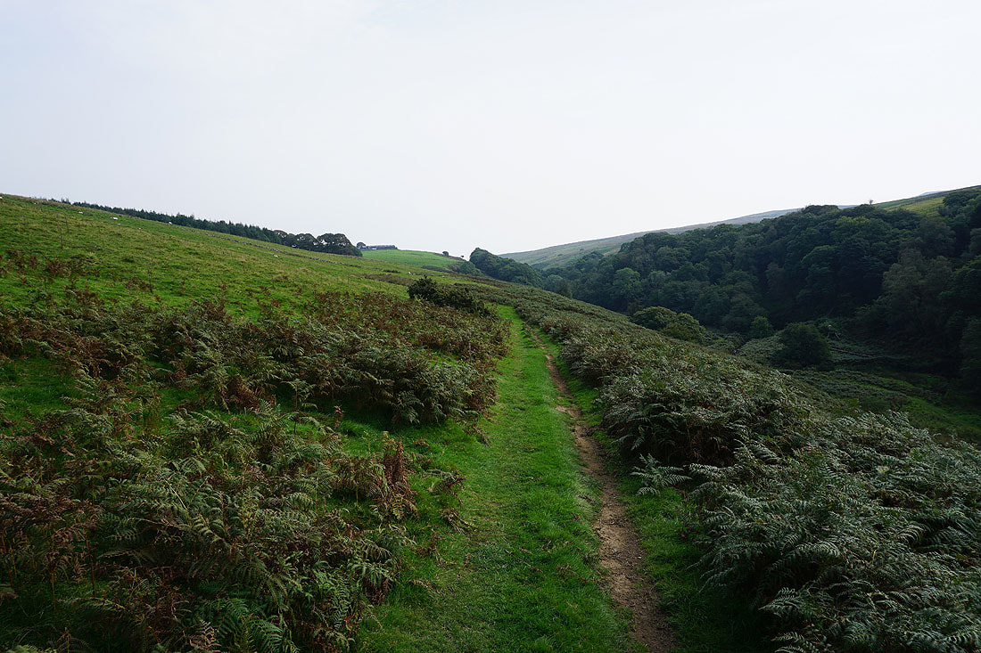
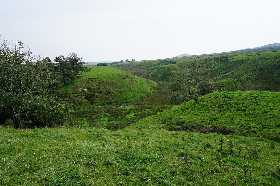
Making my way east to Deep Clough at the top of Littledale..
Looking back down Littledale
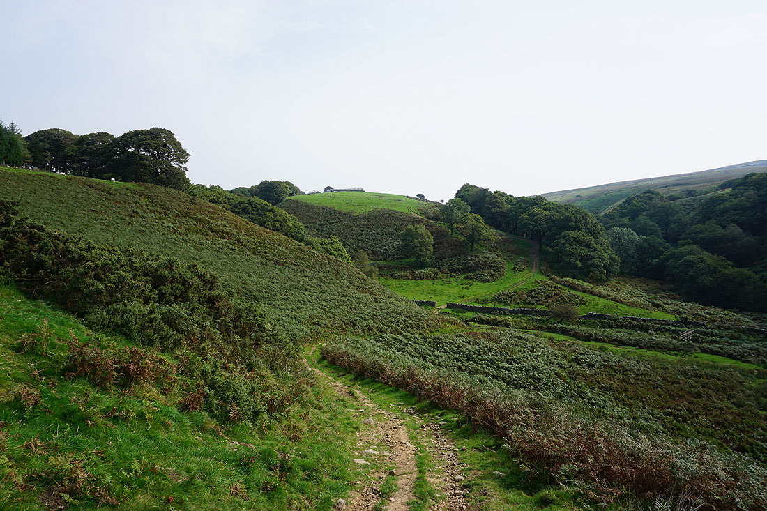
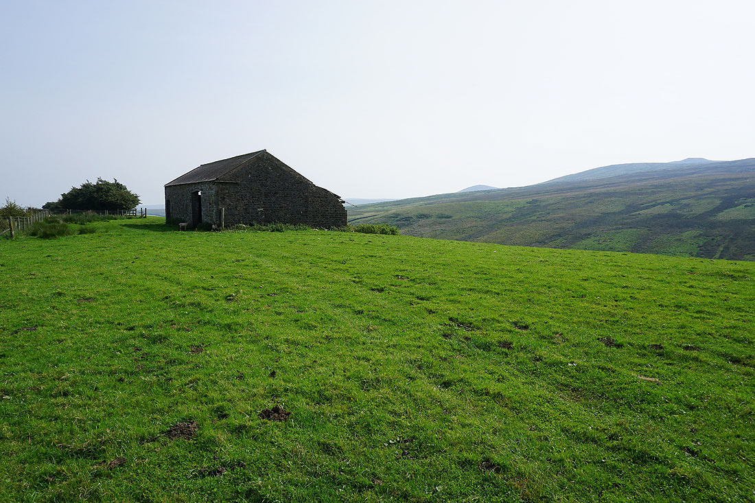
Heading up to Deep Clough Farm
Deep Clough Farm
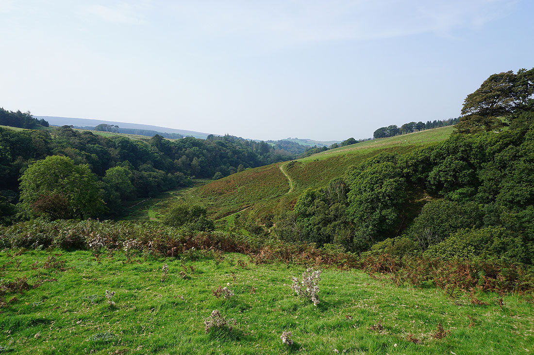
From Deep Clough Farm I take the footpath east to Haylot Farm at the top of Roeburndale
Looking back across the northern slopes of Grit Fell and Clougha Pike
Passing Middle Barn
Following the footpath east down to and across Bladder Stone Beck...
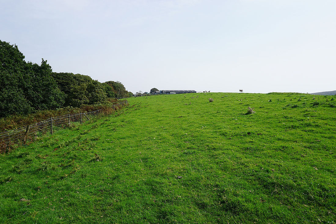
Approaching Haylot Farm
From Haylot Farm I take the byway north up to the end of Roeburndale Road
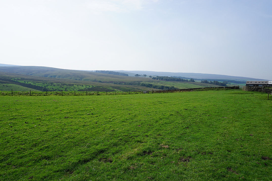
Looking back to Salter Fell, Mallowdale Pike, and Mallowdale Fell around the head of Roeburndale
and across Roeburndale to Goodber Common and Goodber Fell
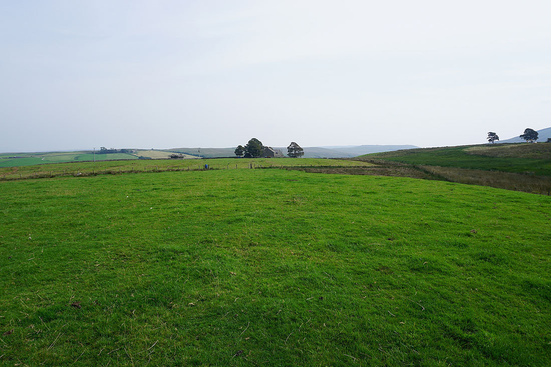
Walking west up Roeburndale Road
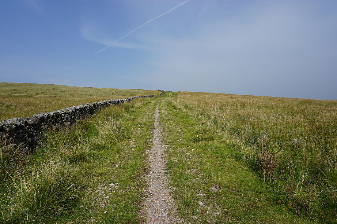
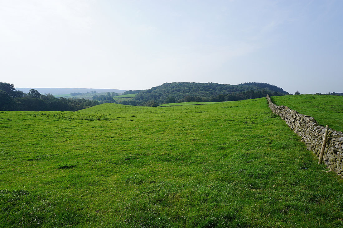
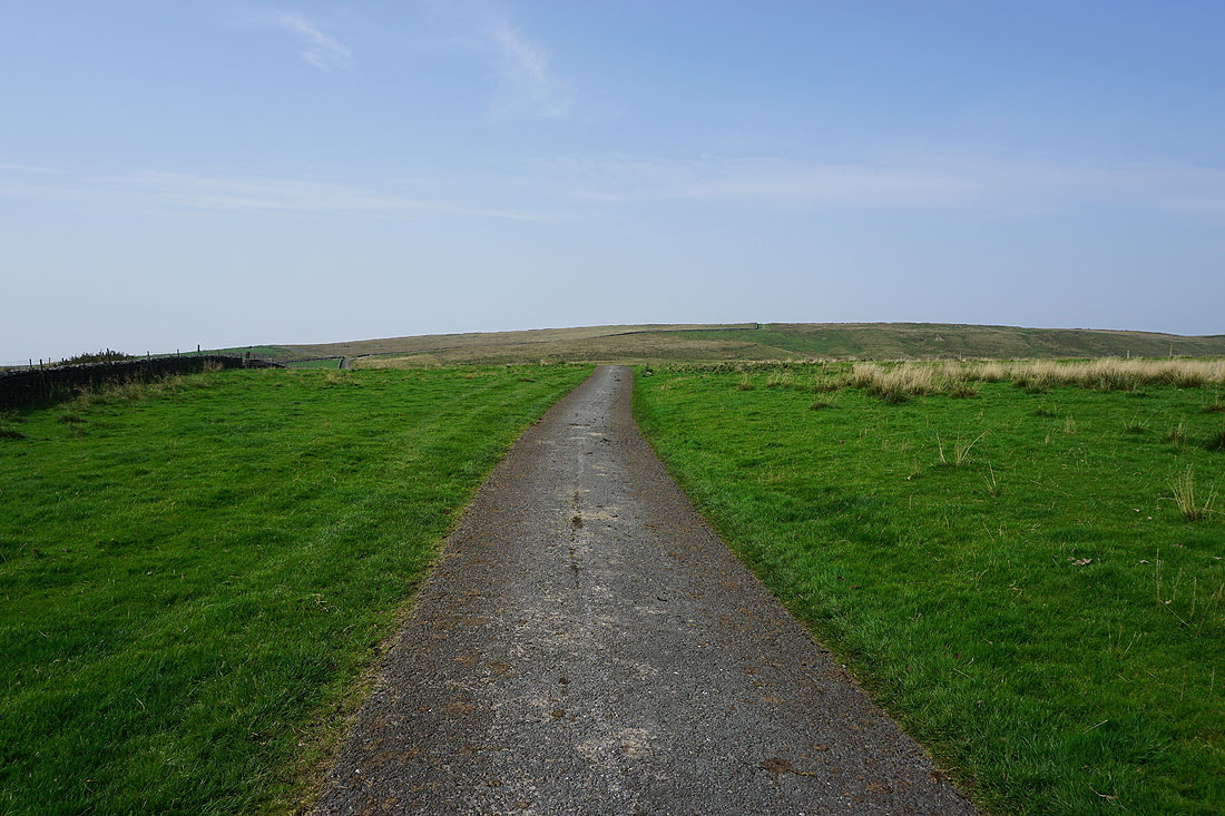
When I reach a cattle grid I take a track on the right up onto the access land of Caton Moor
A view of the fells around the head of Roeburndale
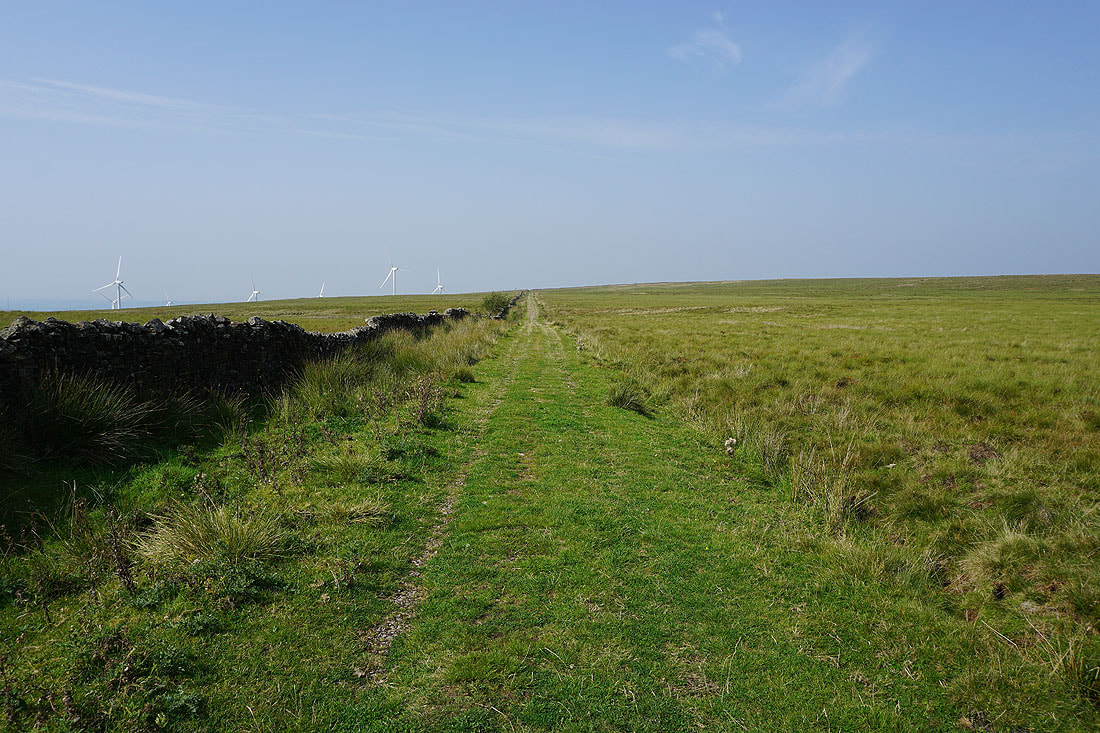
Nearing the top of the track and the turbines of the wind farm come into view
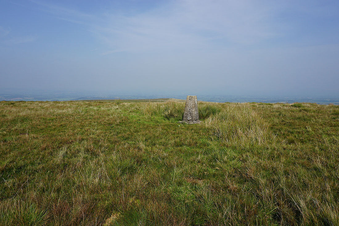
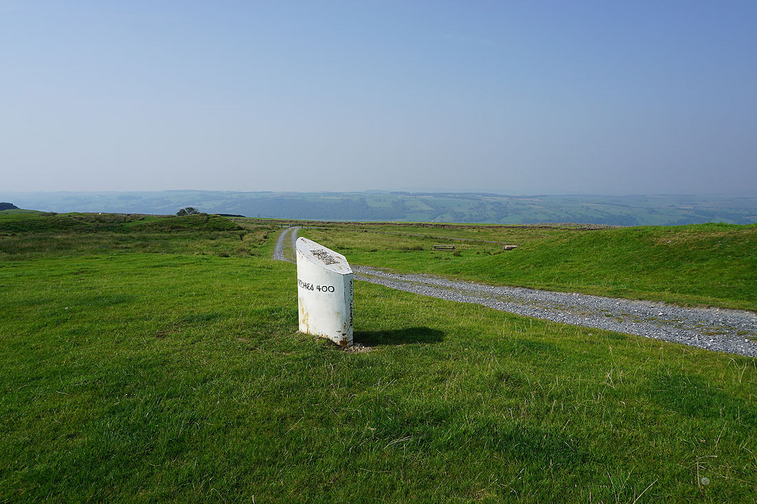
At the trig point on Caton Moor
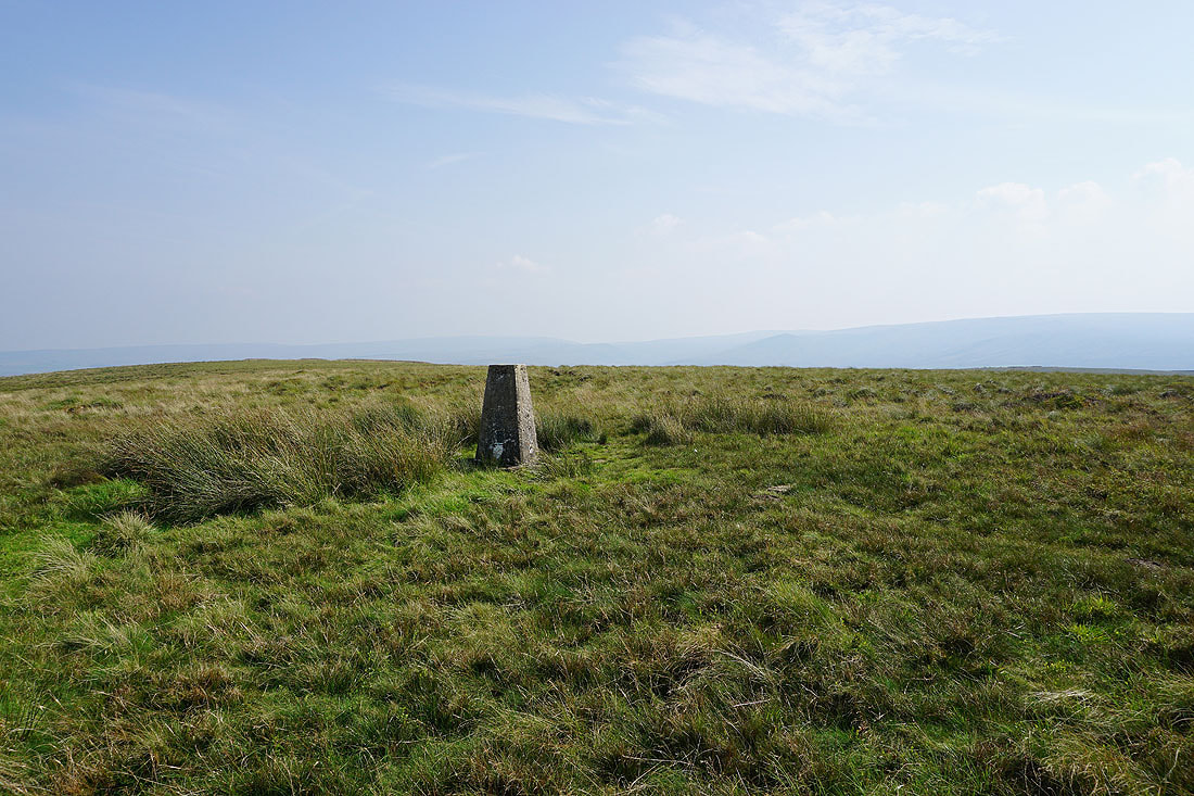
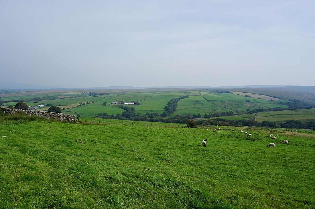
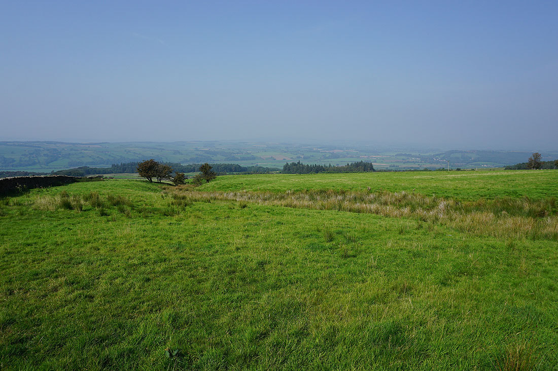
To the southeast and south, the fells around the head of Roeburndale..
..and Wolfhole Crag and Ward's Stone
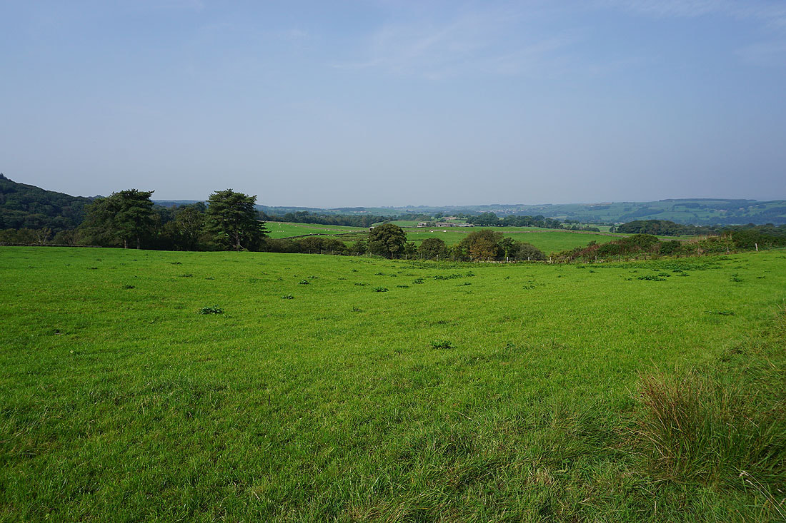
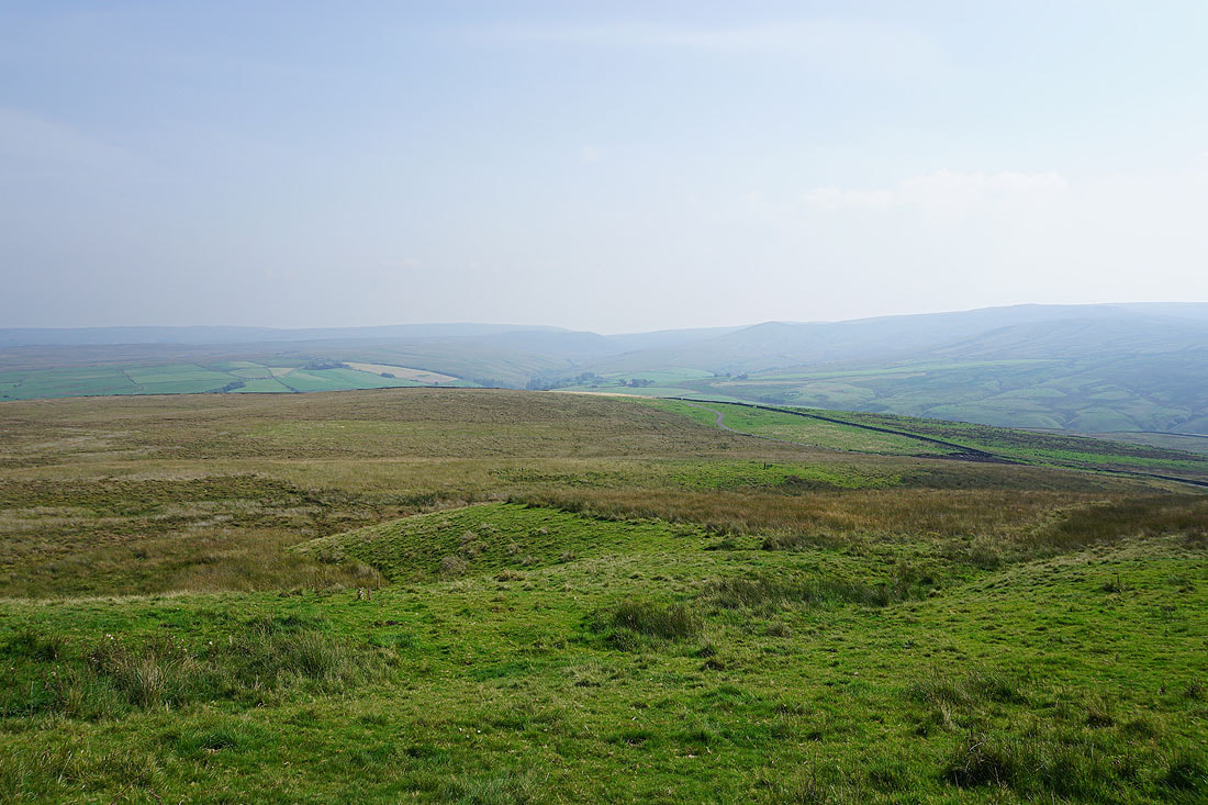
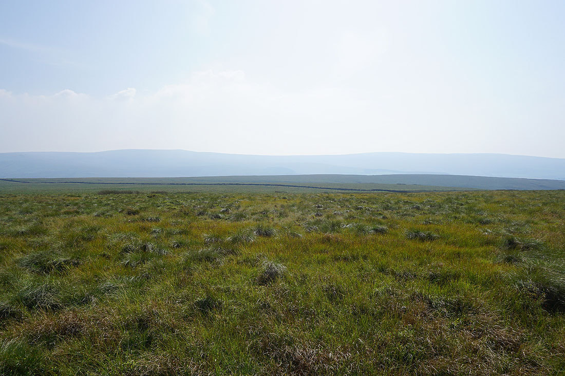
It's shame that it's so hazy. I should be able to make out the western fells of the Yorkshire Dales in the distance to the northeast.
After taking in the view from the trig point I make my way back down to the top of the track
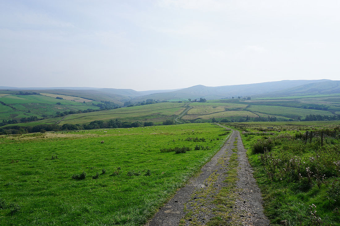
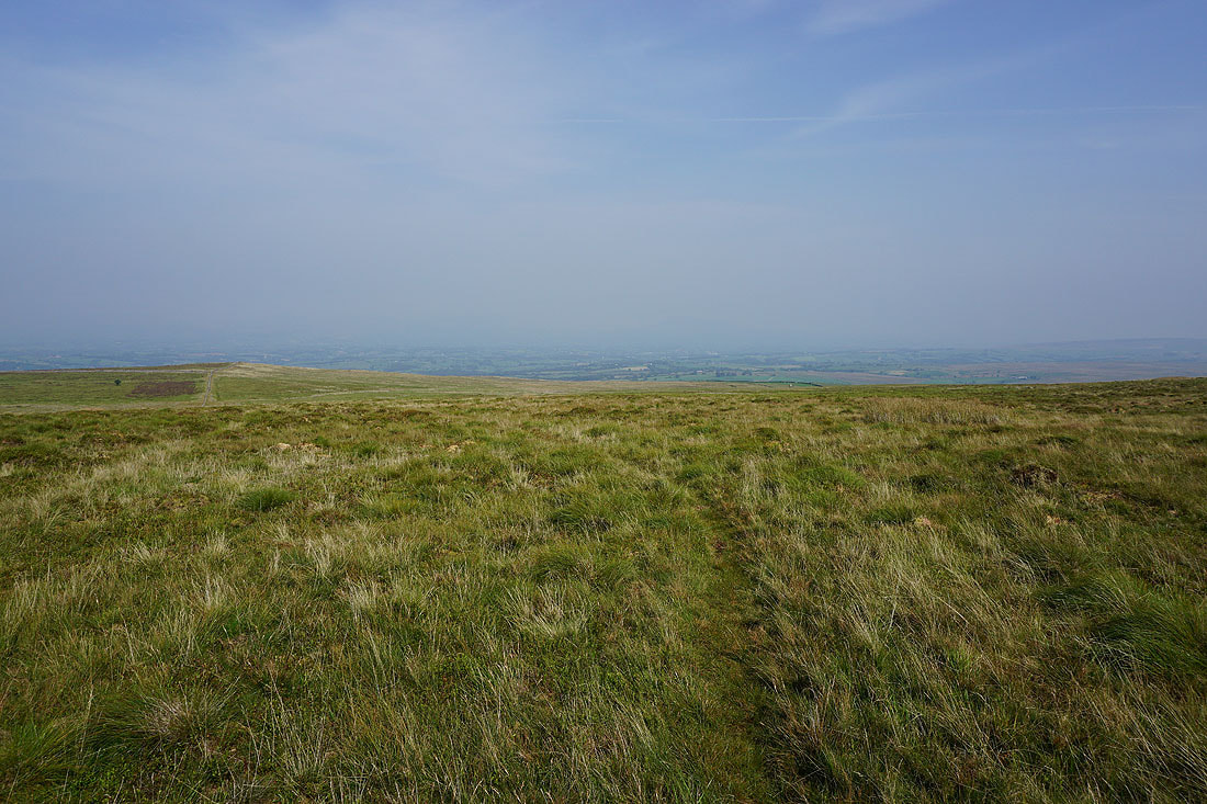
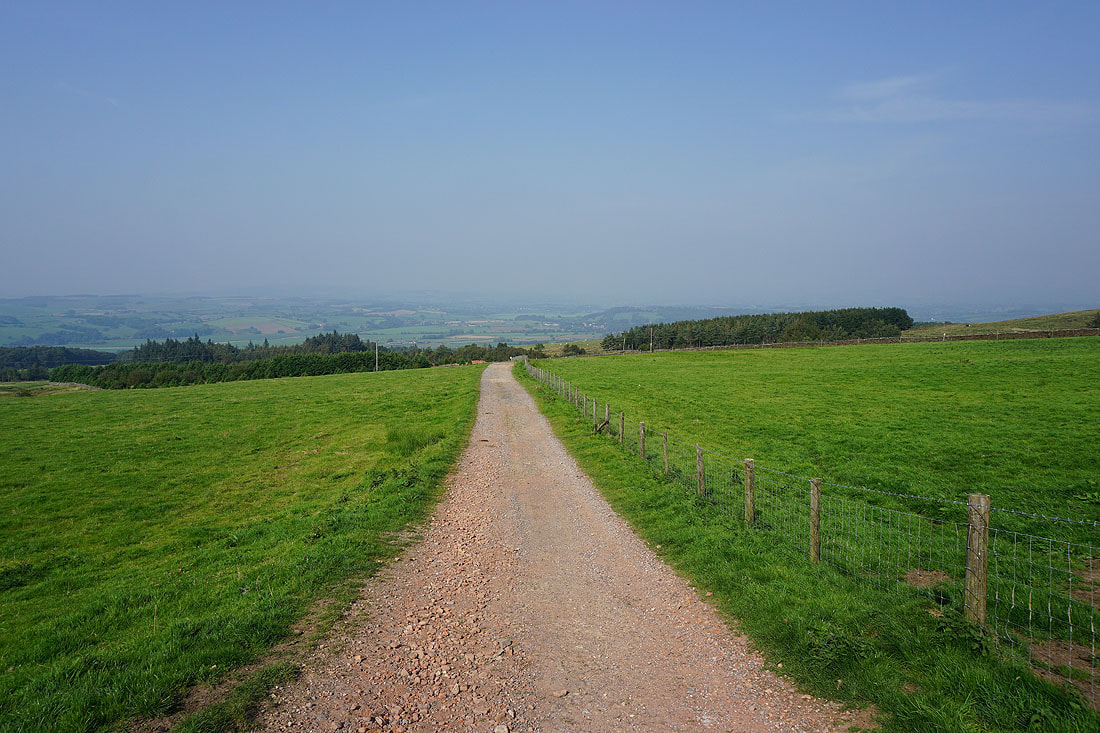
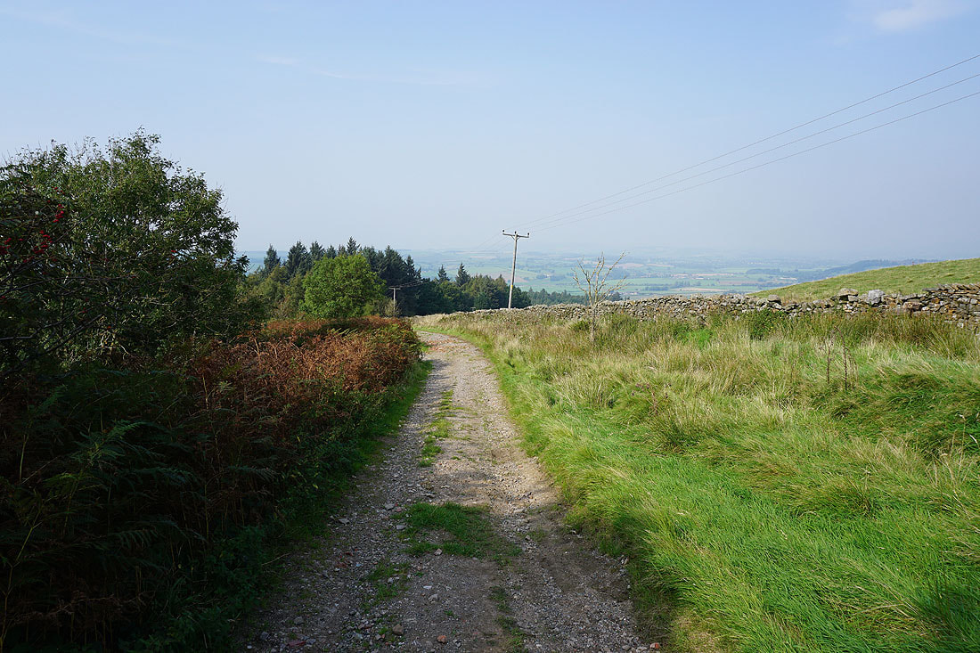
The Lune Valley ahead as I walk down the track to the top of Quarry Road
Tercet Seven, Claughton Quarries. One of the tercet waymarkers on the Lancashire Witches Walk.
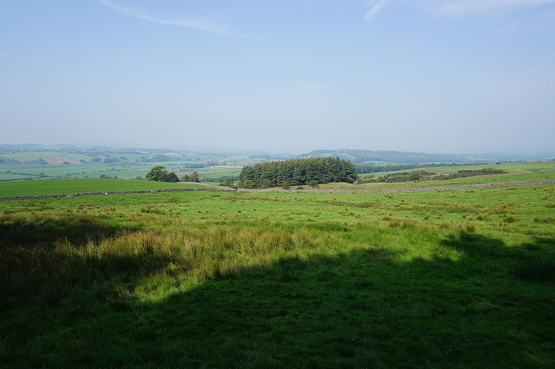
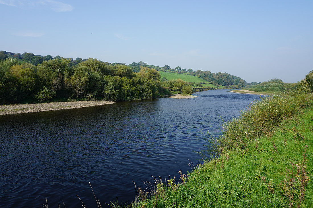
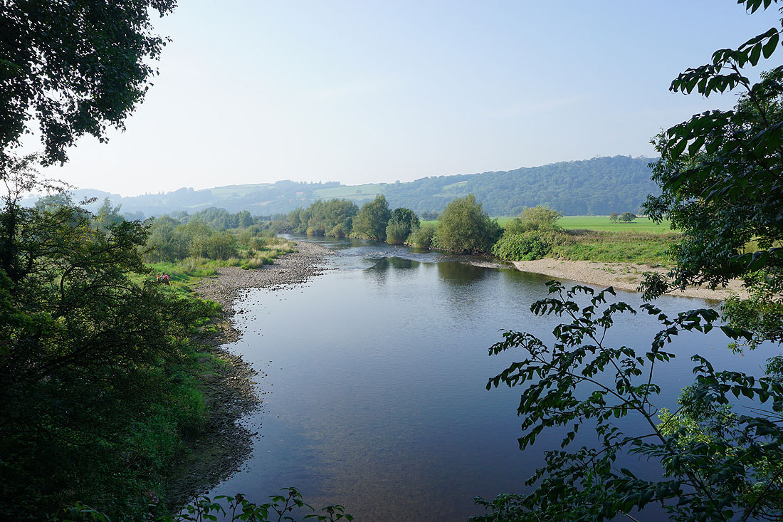
A hazy view across the valley of the River Lune
On the bridleway down to Claughton

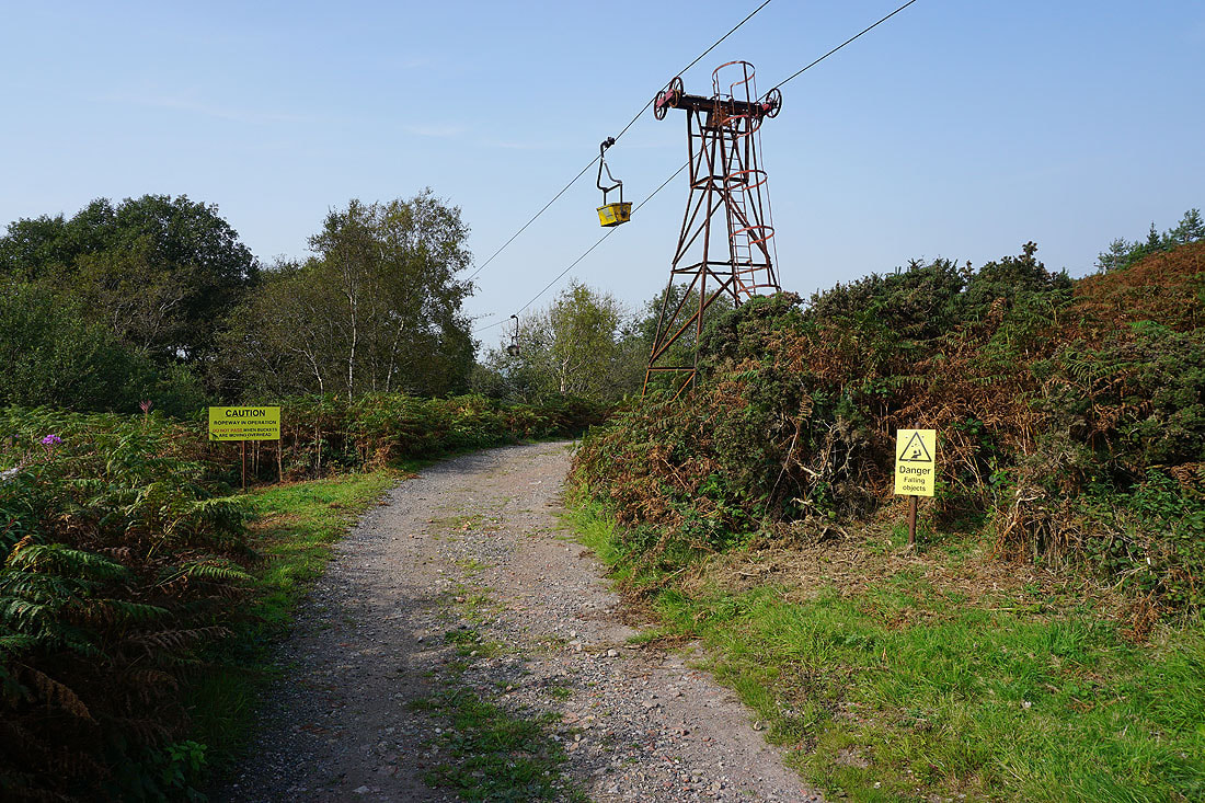
Passing under the aerial ropeway that carries clay down to the brickworks in Claughton..
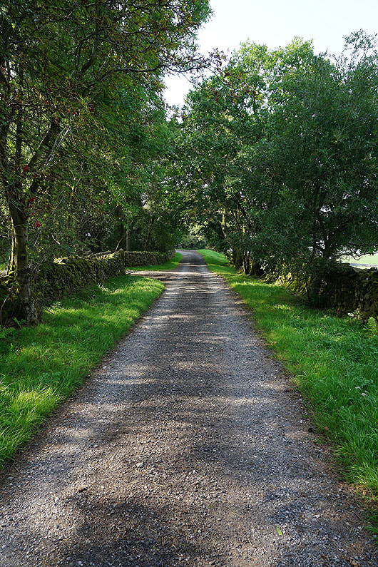
Following the bridleway down to Claughton..
To my right, a view up the Lune Valley to the countryside around Hornby
Into Claughton, and it's straight across the A683 at The Fenwick pub and onto Low Lane
Walking along Low lane and just ahead I'll take a public footpath on the left
Making my way down to the River Lune
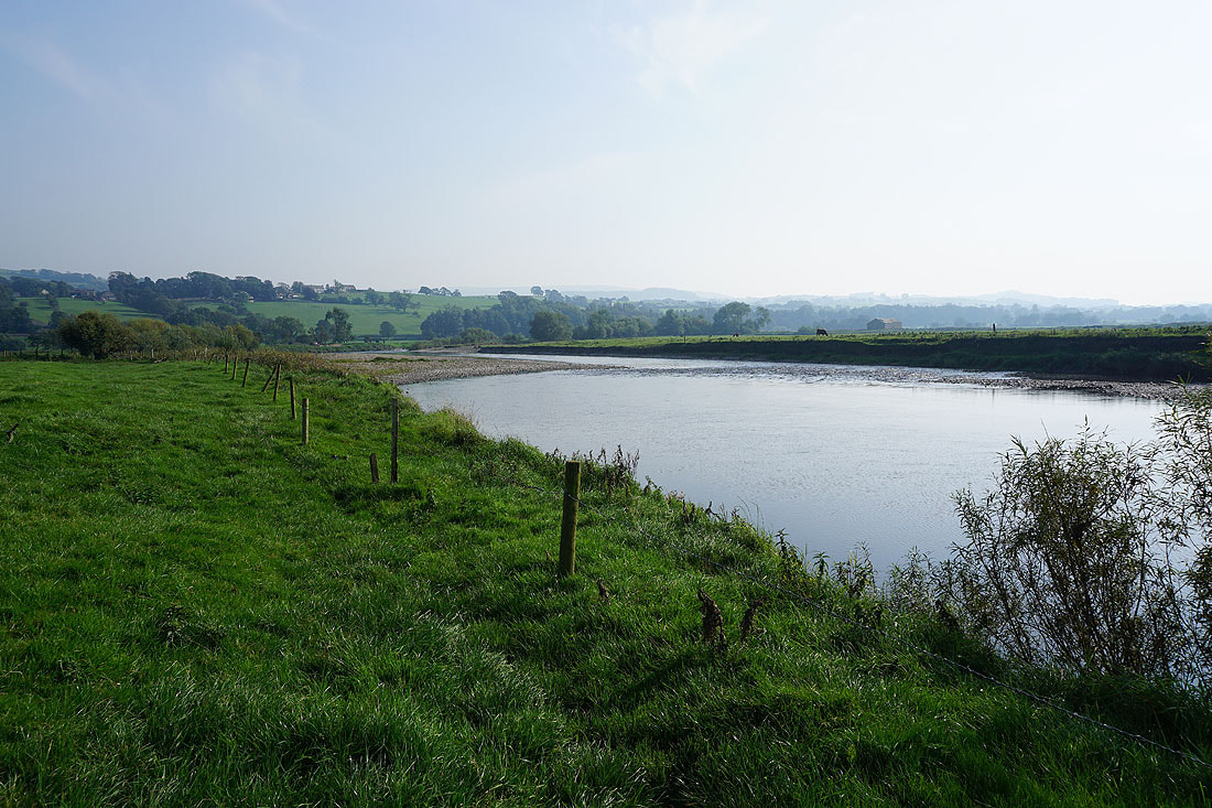
Looking back to Claughton and Caton Moor
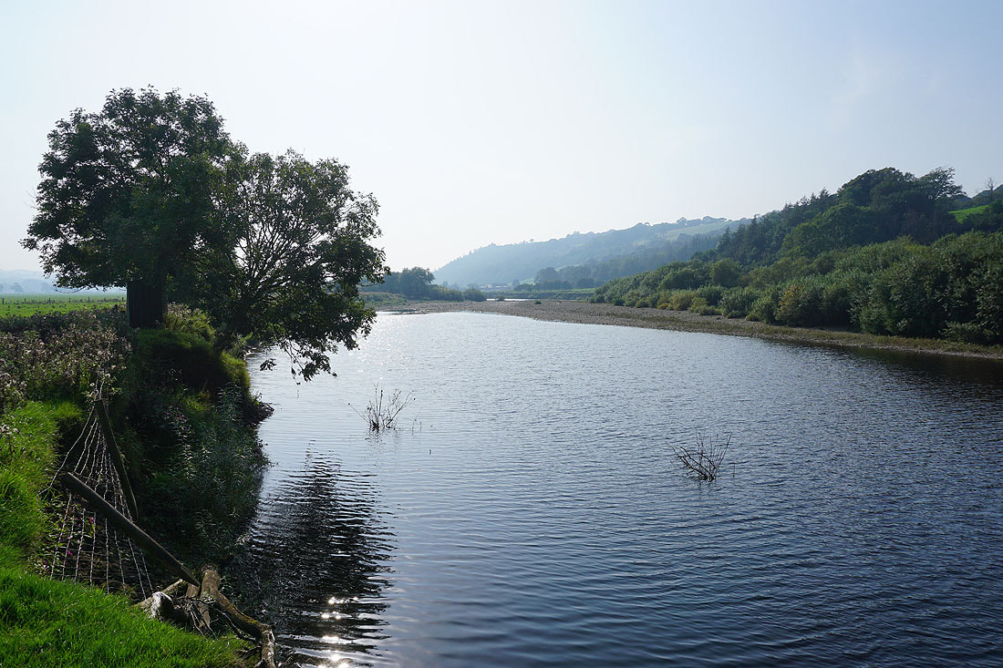
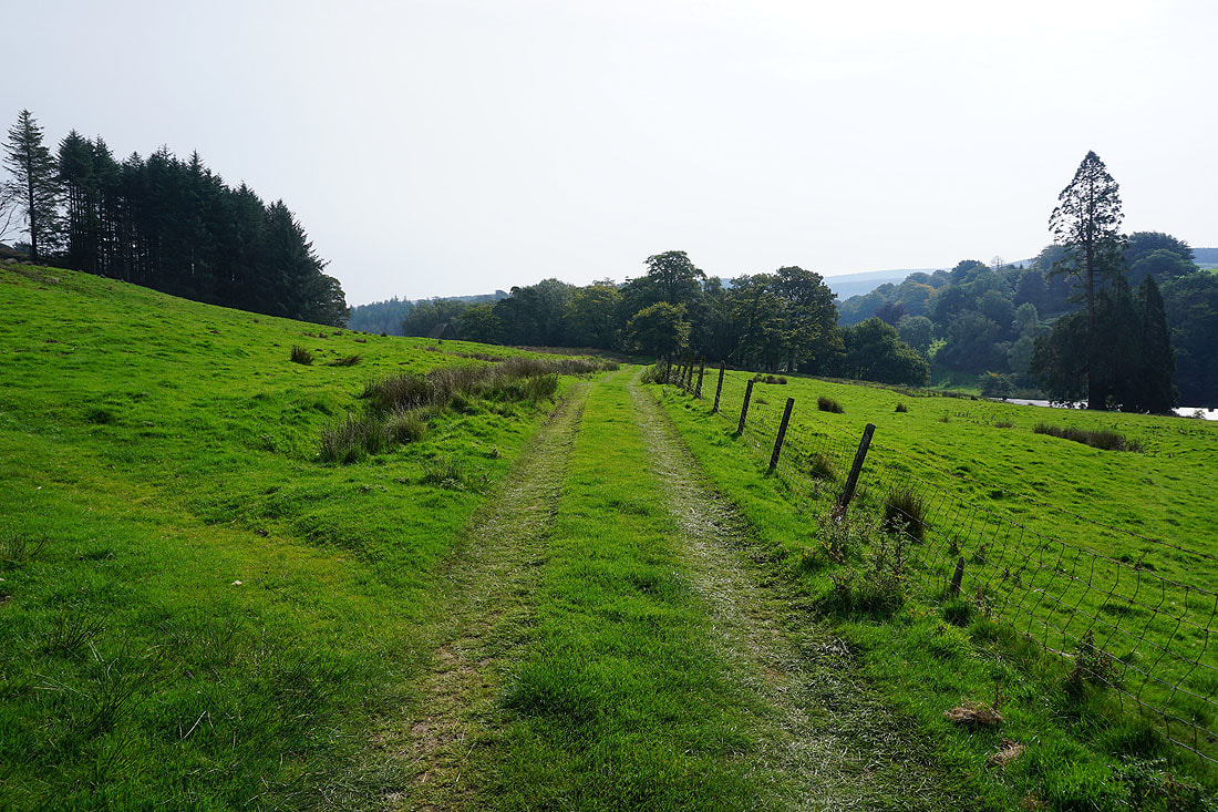
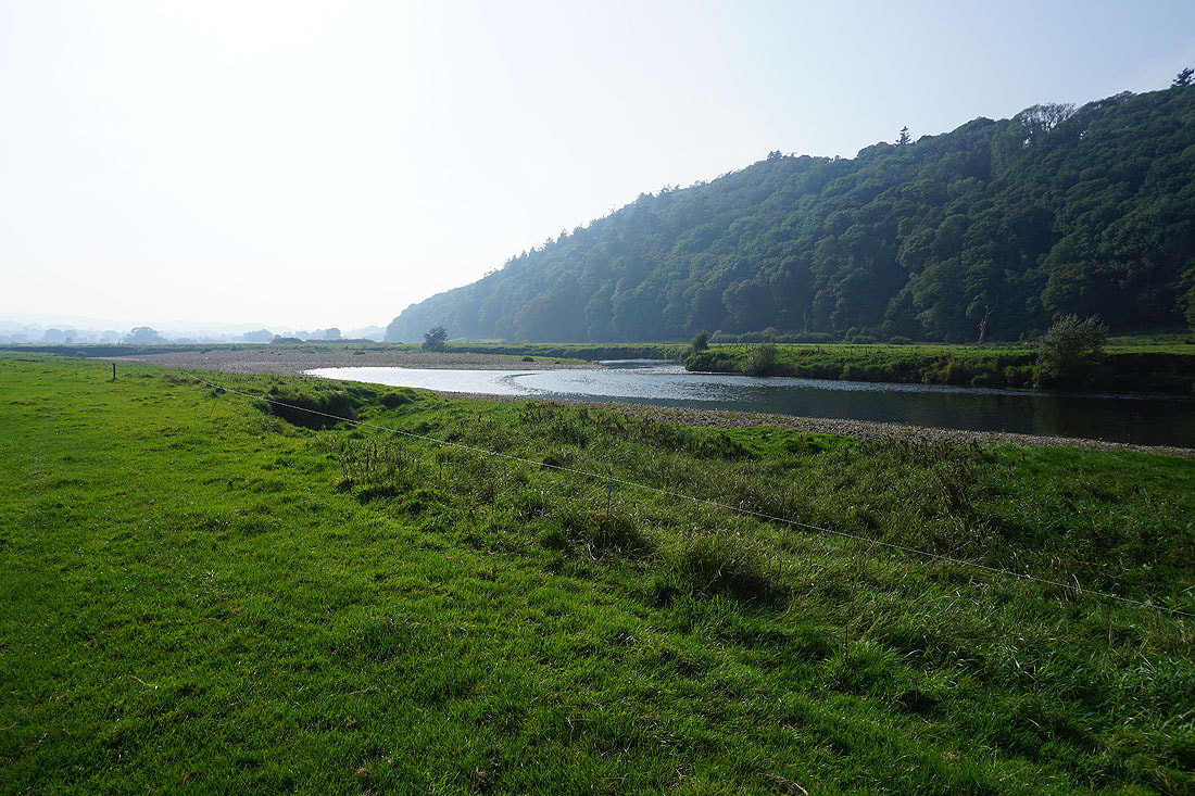
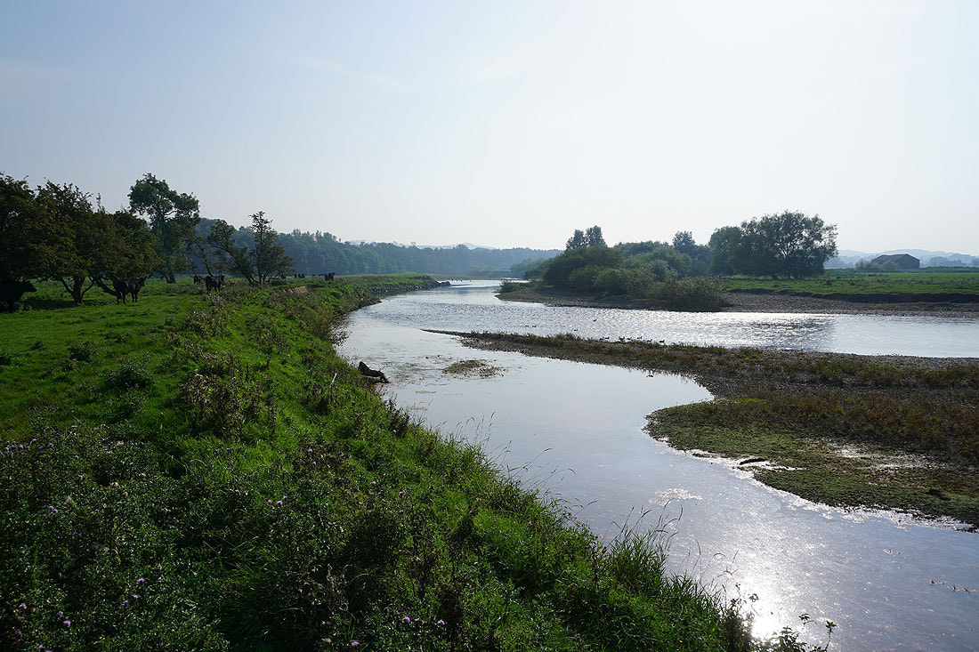
Views of the River Lune as I follow the footpath west by its south bank.........
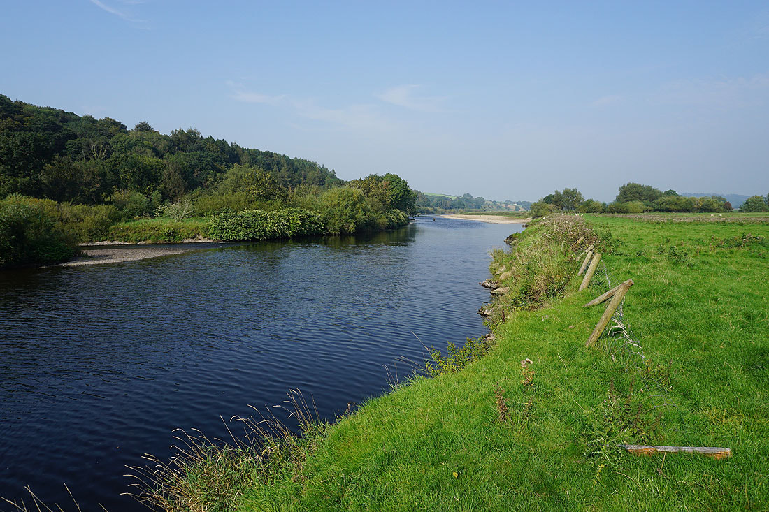
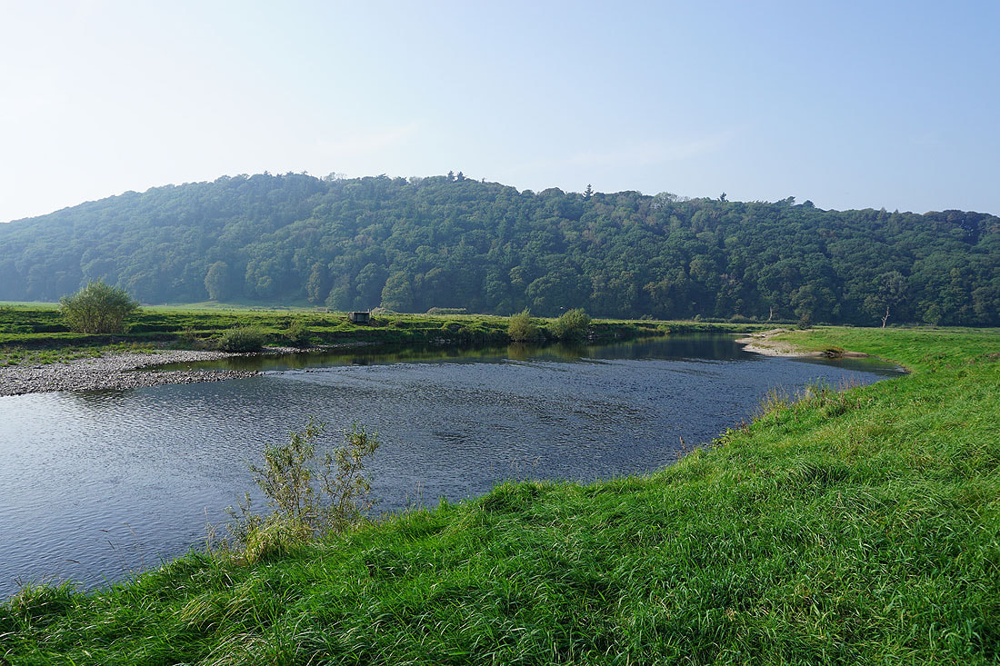
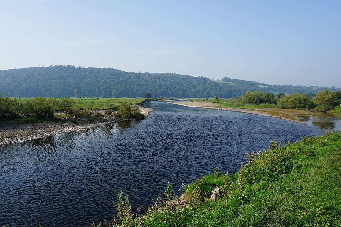
A final shot of the River Lune from the bridleway back to the Bull Beck picnic site
Return to HOME
Return to Forest of Bowland, Pendle & West Pennine Moors Walks
Return to Walking Diary 2023
Return to Forest of Bowland, Pendle & West Pennine Moors Walks
Return to Walking Diary 2023