9th March 2014 - Magpie Mine & Lathkill Dale
Walk Details
Distance walked: 9.7 miles
Total ascent: 1299 ft
OS map used: OL24 - The Peak District, White Peak area
Time taken: 6 hrs
Route description: Over Haddon-fields-B5055-more fields-Magpie Mine-fields-Horse Lane-Monyash-B5055-Lathkill Dale-Conksbury Bridge-Over Haddon
My Dad joined me for this walk in the Peak District on a beautiful spring day. In fact by the middle of the afternoon it felt as though the weather had jumped ahead to summer. The definite highlight of the walk was the limestone gorge of Lathkill Dale, it made an outstanding second half of the walk.
From the car park in Over Haddon there was a brief walk west along Monyash Road before we made our way across a lot of fields to the B5055. More fields were crossed on the side of Bole Hill, then down and across a lane to track which took us to the ruins of Magpie Mine. From the mine it was fields, across a road, and more fields until we reached Horse Lane which took us to Monyash. The B5055 out of the village took us to the path into Lathkill Dale. The path down the valley was followed all the way to Conksbury Bridge where a short walk up into Over Haddon was left.
Route map
© Crown copyright. All rights reserved. License number PU 100034184.
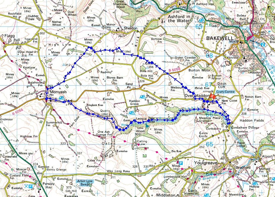
A brief walk along Monyash Road and then it's time to head across the fields
Looking back to Over Haddon
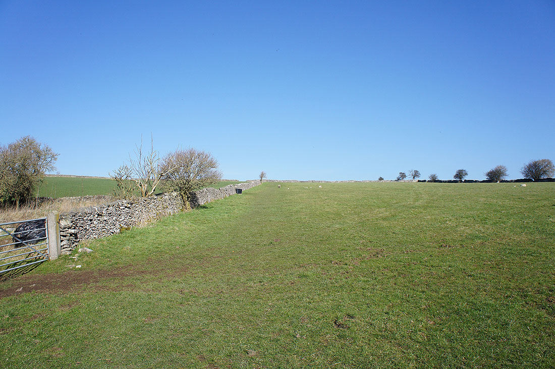
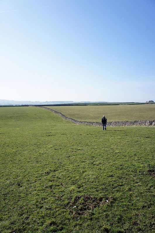
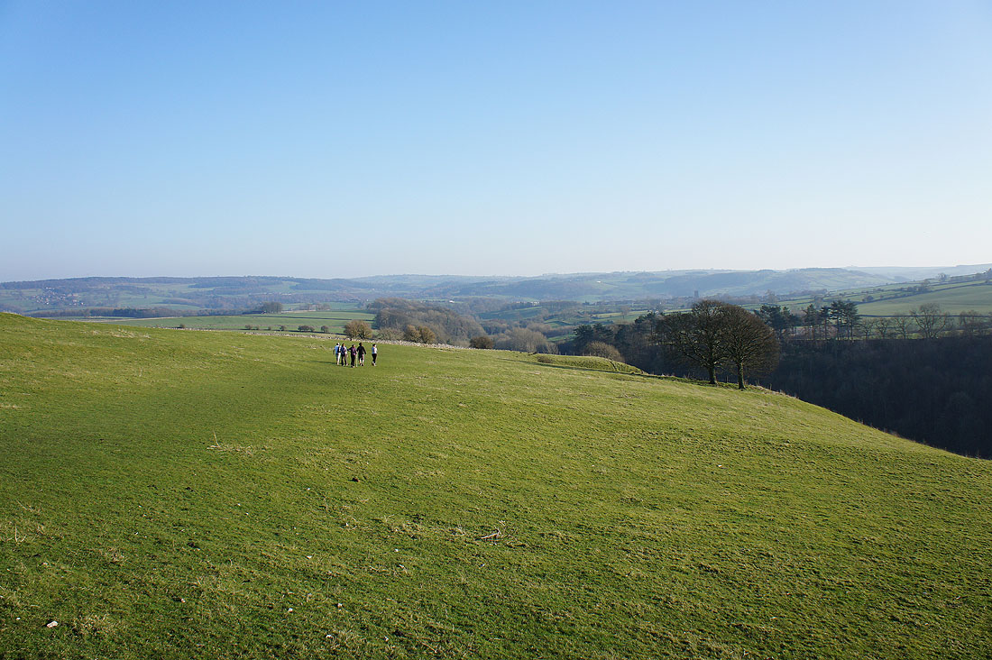
The path goes in a straight line as far as the eye can see. We're heading for the dip in the skyline to the right of Bole Hill.
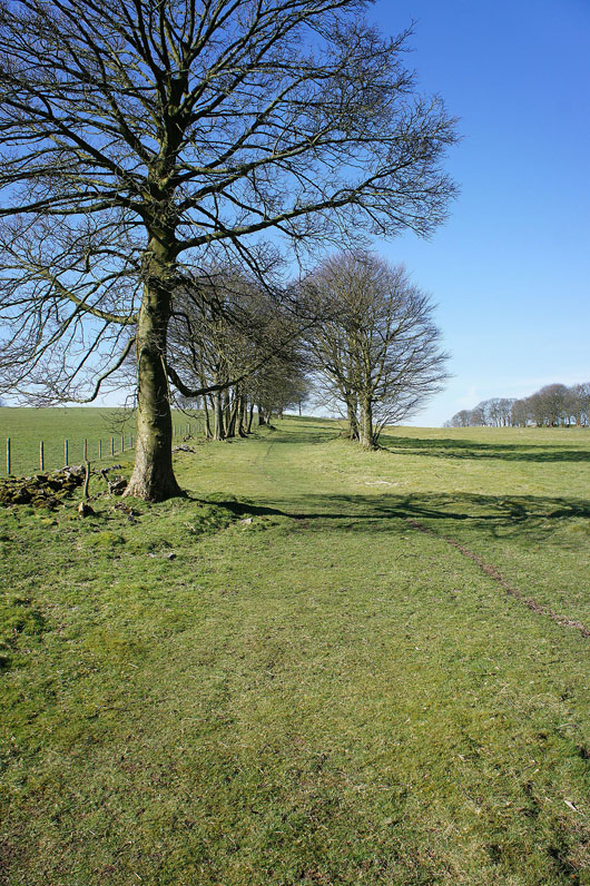
Passing through an avenue of trees on the side of Bole Hill
Downhill and across the road to the walled track, which will take us to Magpie Mine
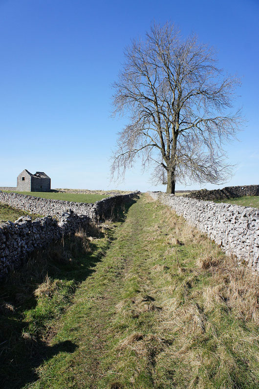
On the walled track
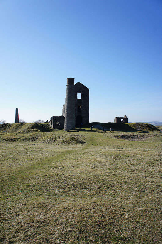
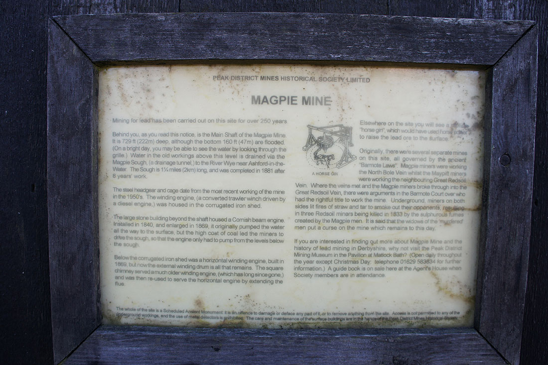
Approaching the stark ruins of Magpie Mine
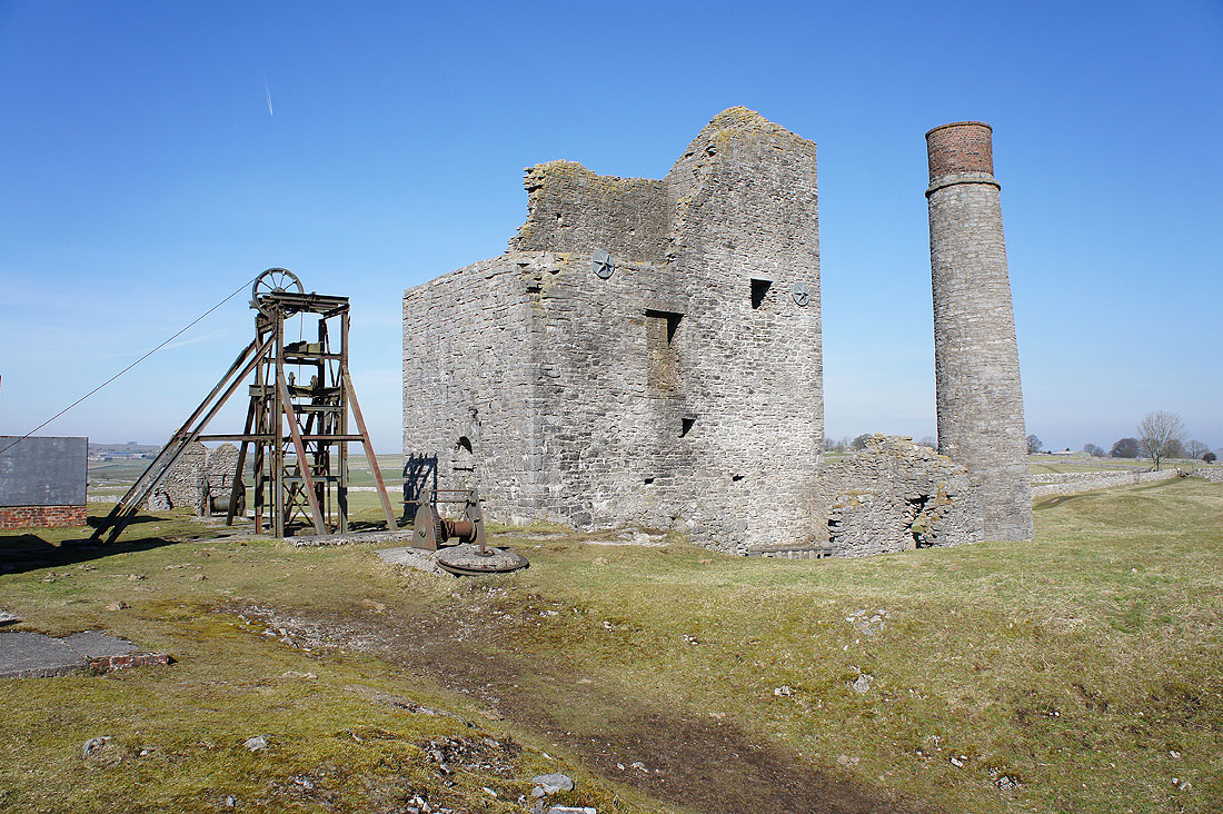
The steel headgear and cage date from the most recent working of the mine back in the 1950's. It was driven by a diesel engine which was in a shed out of shot to the left. The large stone building housed a Cornish beam engine installed in 1840 to pump water out of the mine.
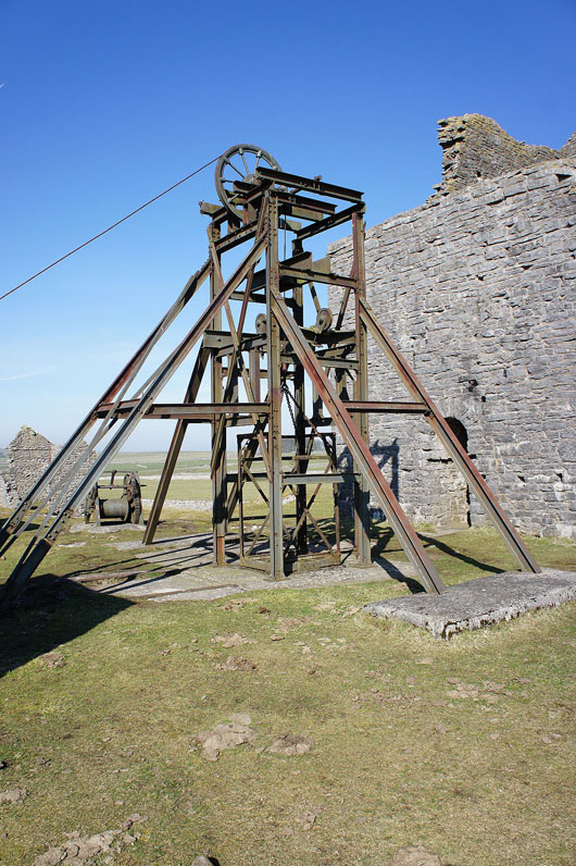
The shaft below the cage is 222m (729ft) deep
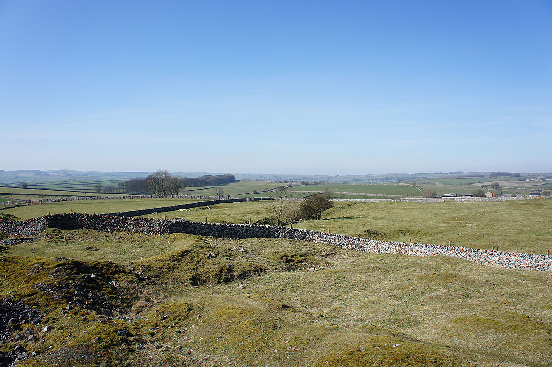
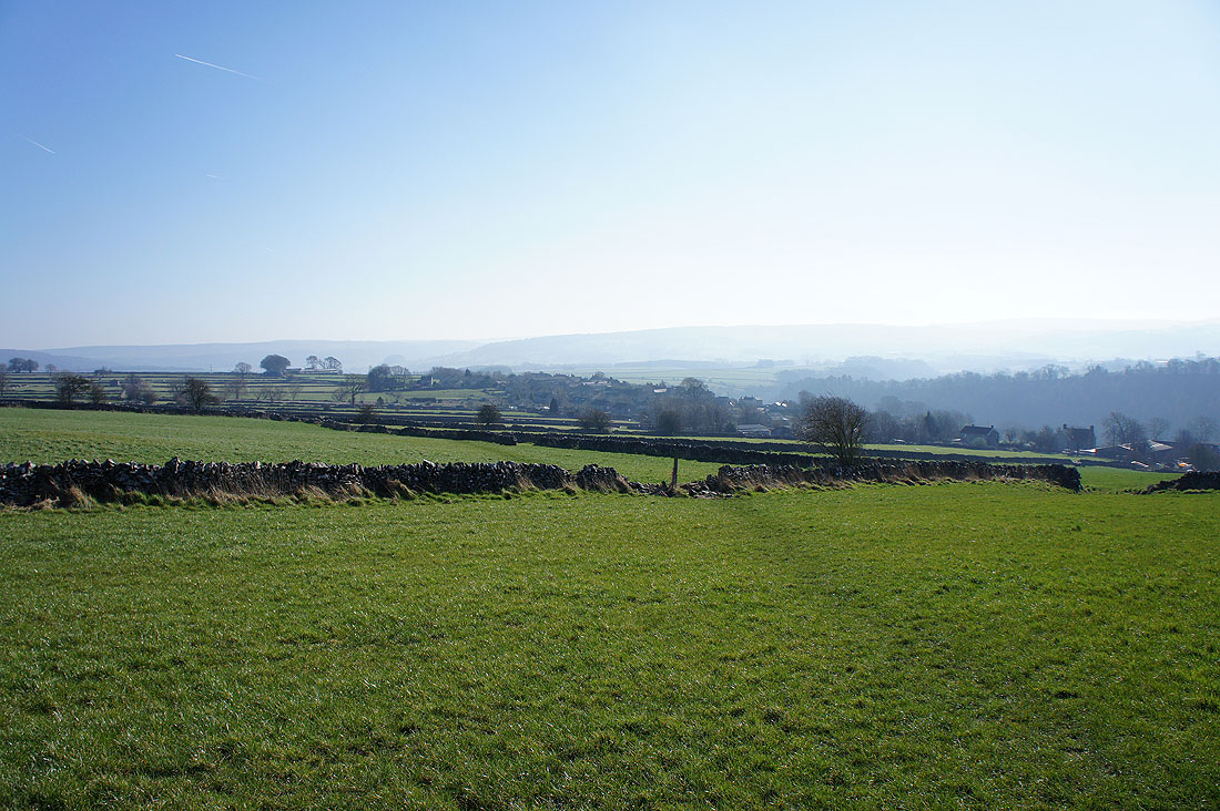
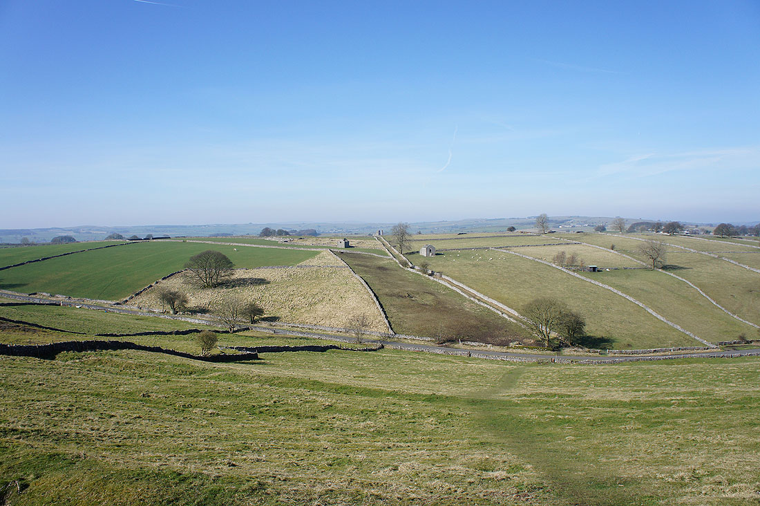
Looking west across the Derbyshire Dales countryside
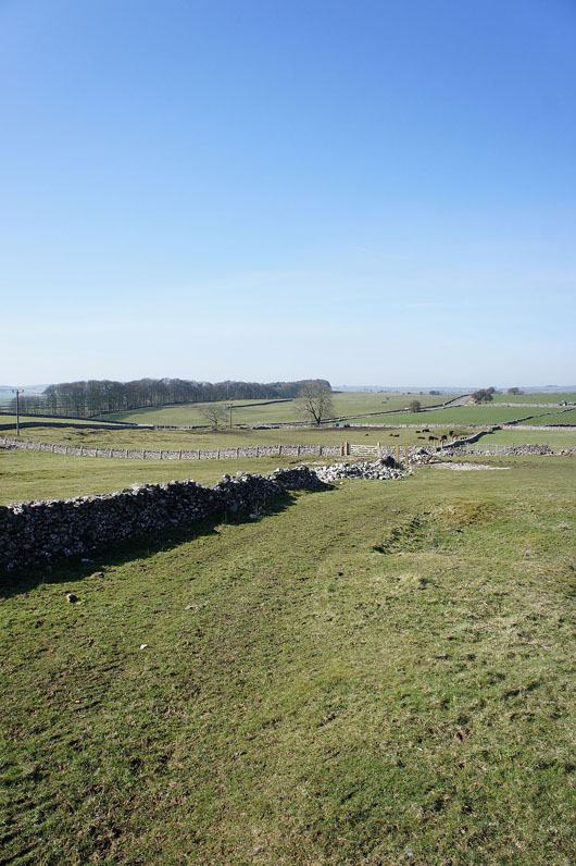
A couple of fields to cross to reach a road then it's through the woods
Looking back at Magpie Mine from the roadside
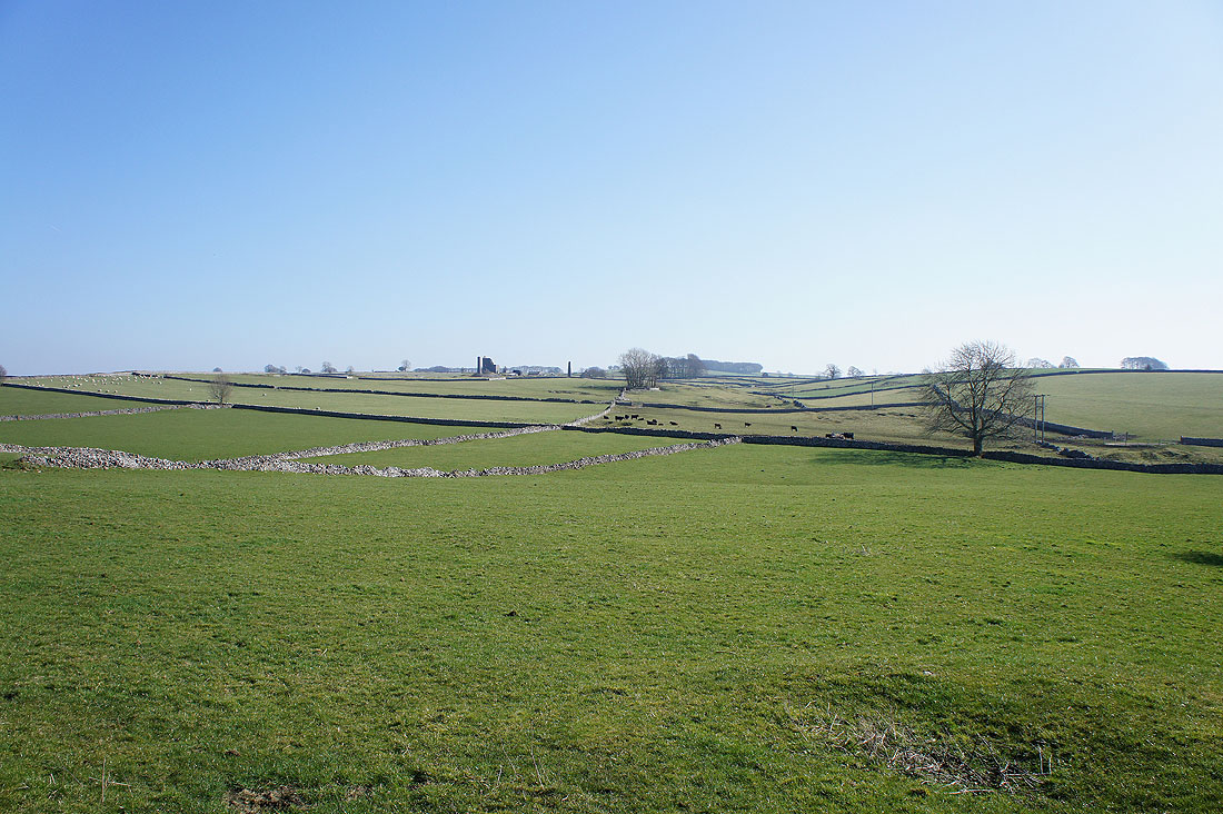
Several more fields to cross and then we'll reach Horse Lane which will take us into Monyash
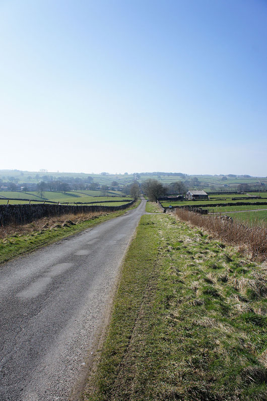
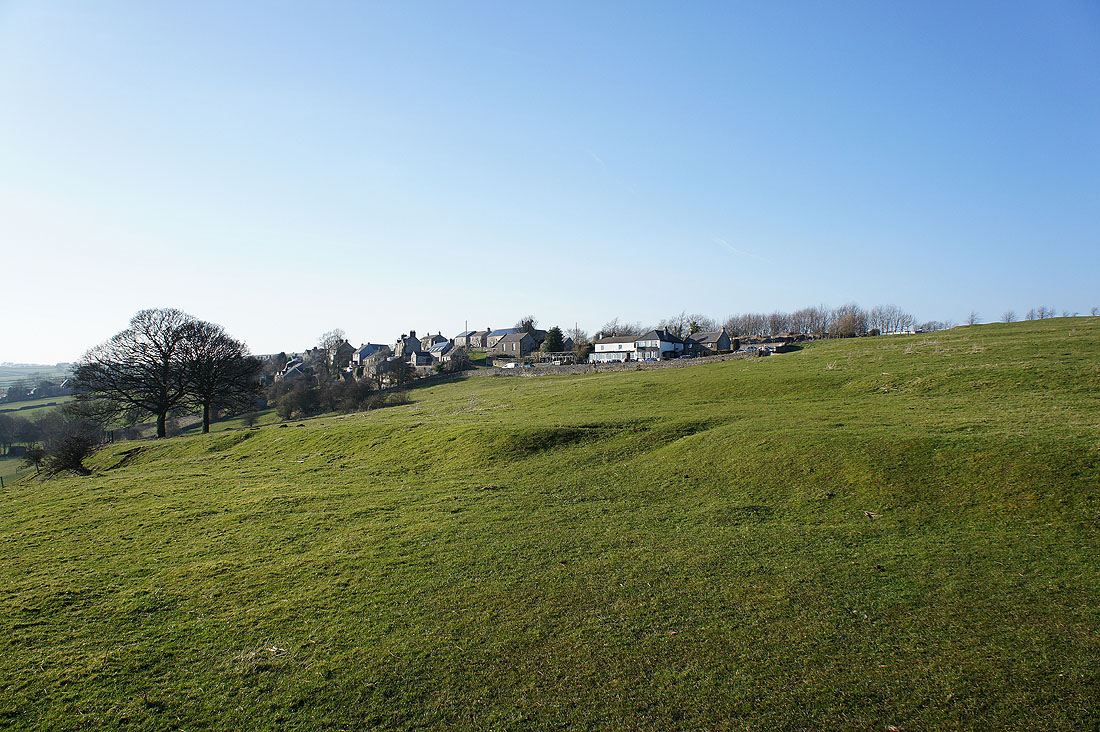
On the lane into Monyash
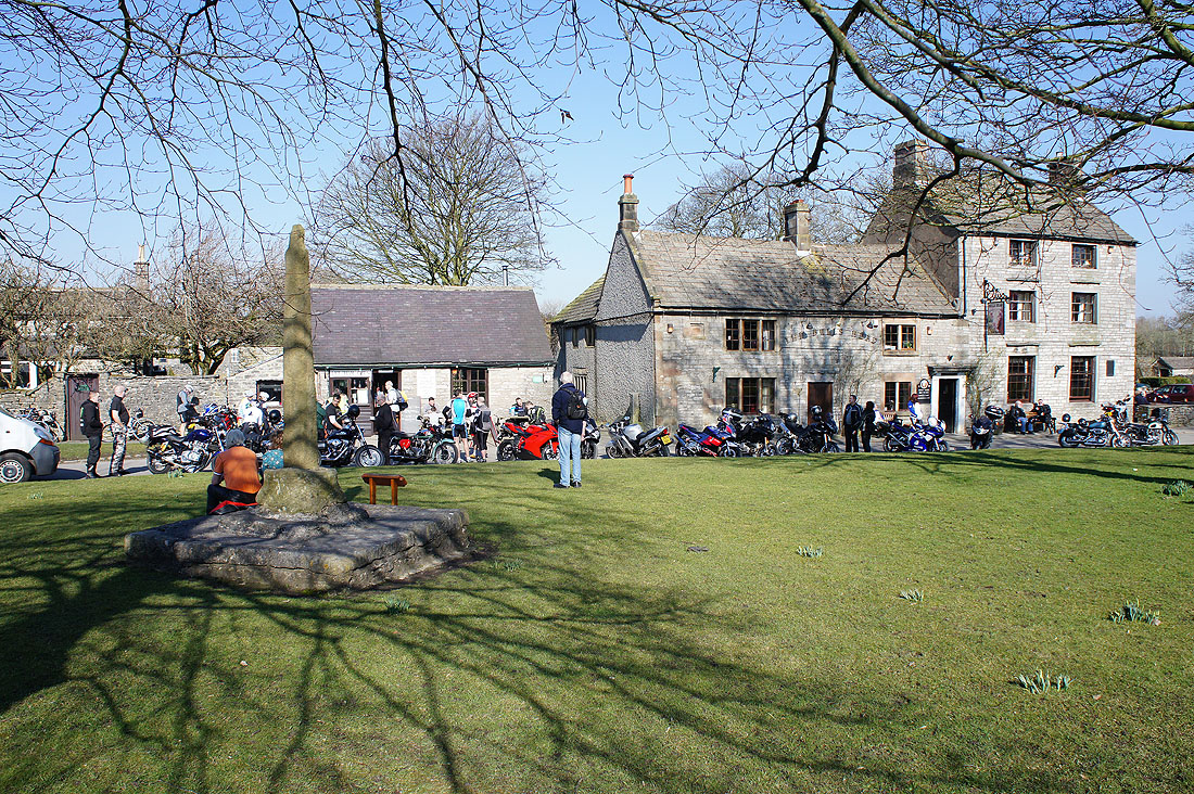
The village green in the centre of Monyash. To the left is the Smithy Cafe (we enjoyed some excellent apple pie) and to the right is the Bull's Head pub. It was very busy today, the fine weather has brought a lot of bikers out onto the roads.
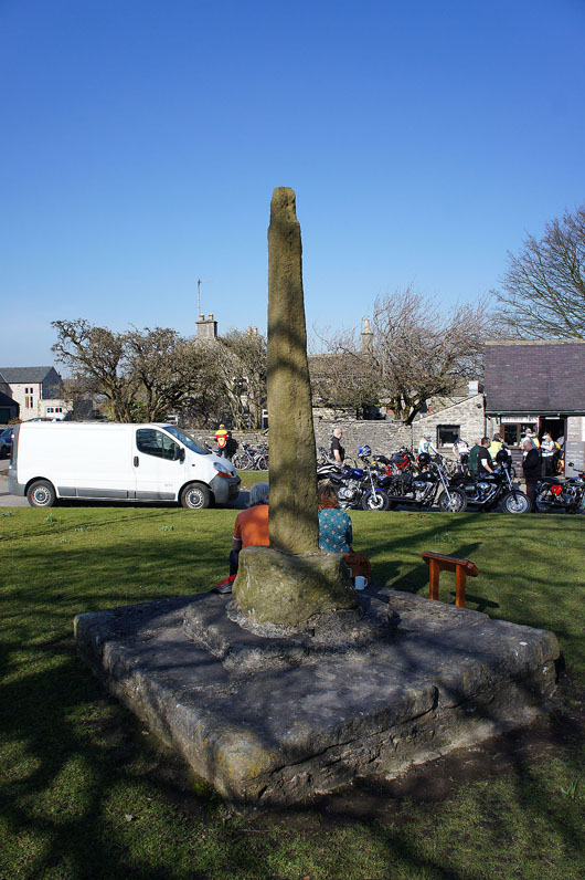
The market cross which dates back to the 14th century when Monyash was granted a charter to hold a weekly market.
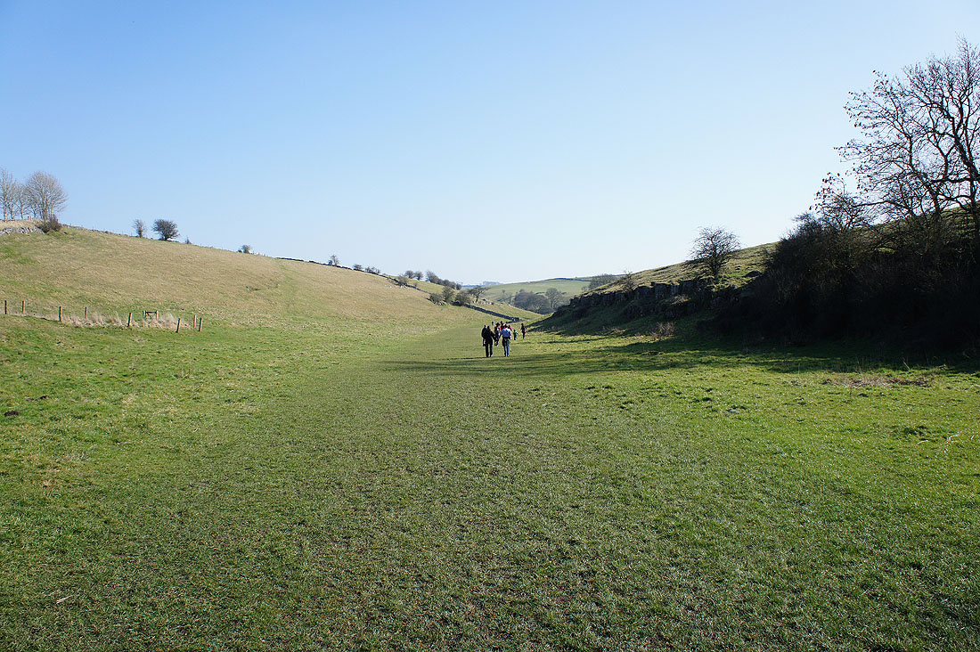
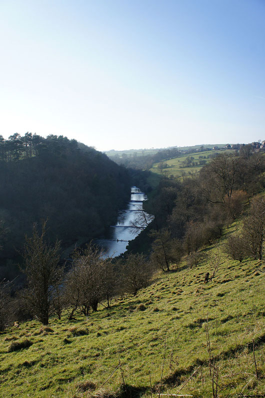
Entering Lathkill Dale. The best part of the walk lies ahead.
A bit further on and the valley deepens and limestone appears at the surface
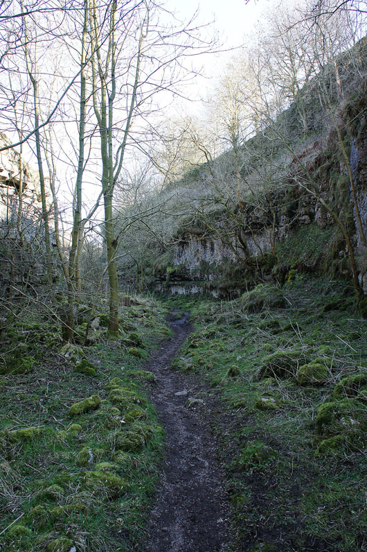
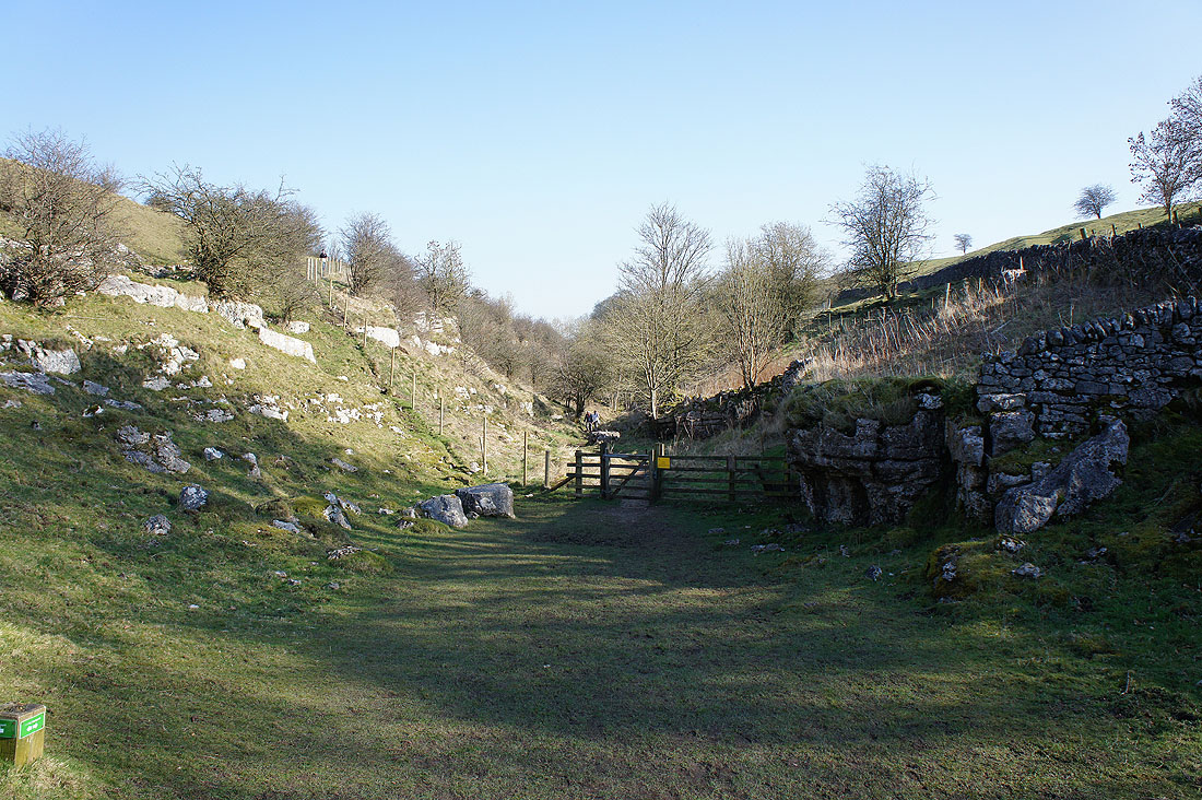
Then through this narrow gap..
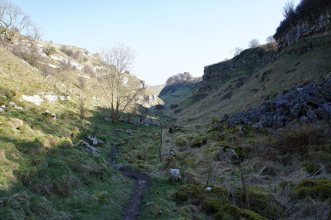
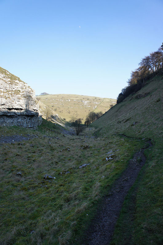
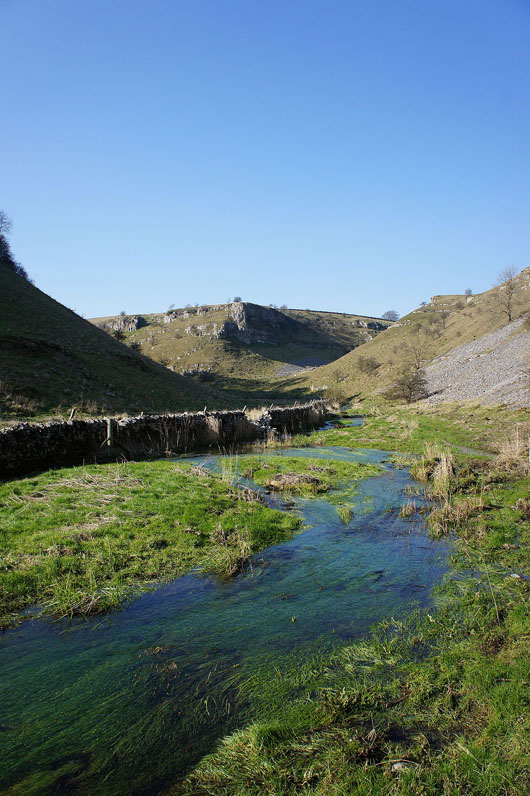
..you enter a steep sided dry valley surrounded by limestone crags
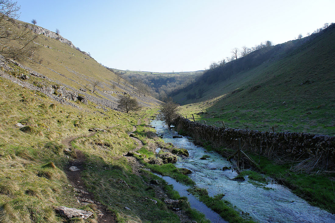
Heading down Lathkill Dale...
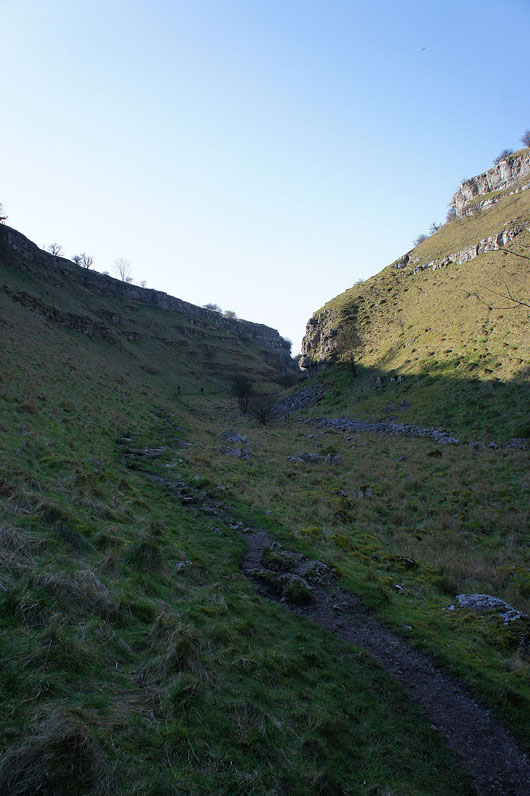
Looking back up the valley
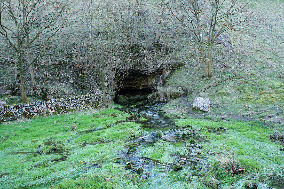
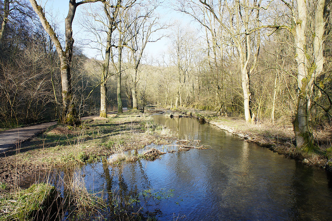
The River Lathkill appears from underground. We'll have its company for the rest of the walk.
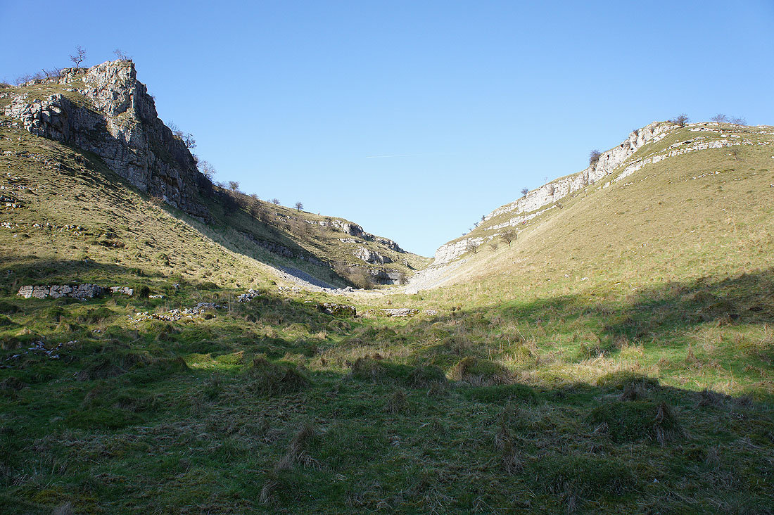
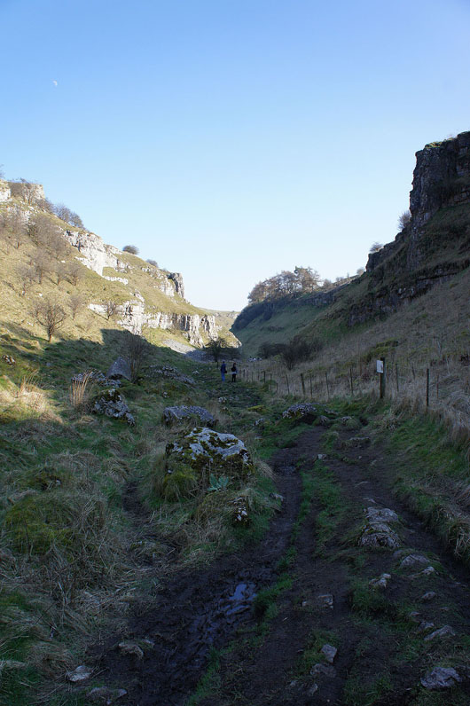
The craggy surrounds of a nameless side valley
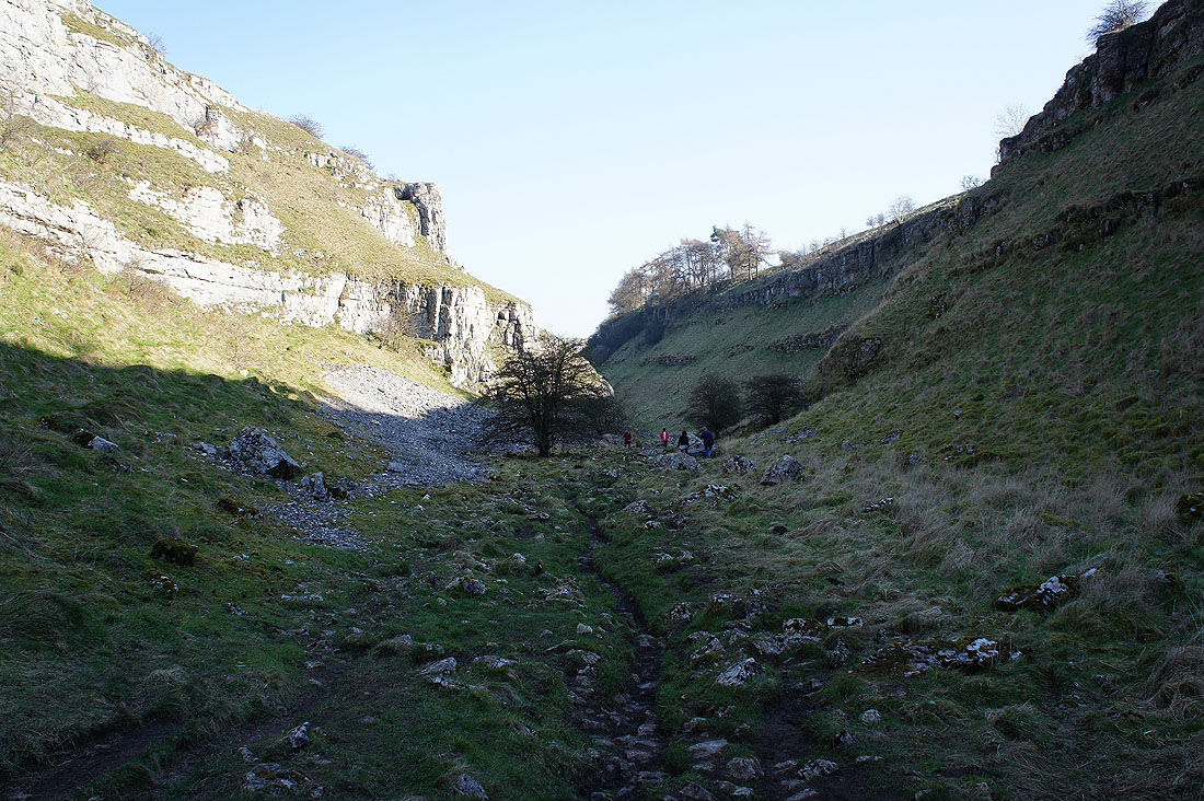
More great scenery to come..
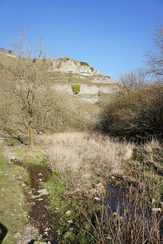
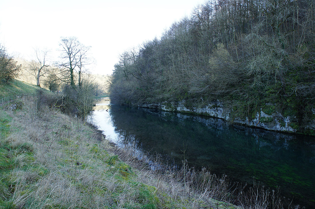
Past this limestone tor the sides of the valley are wooded
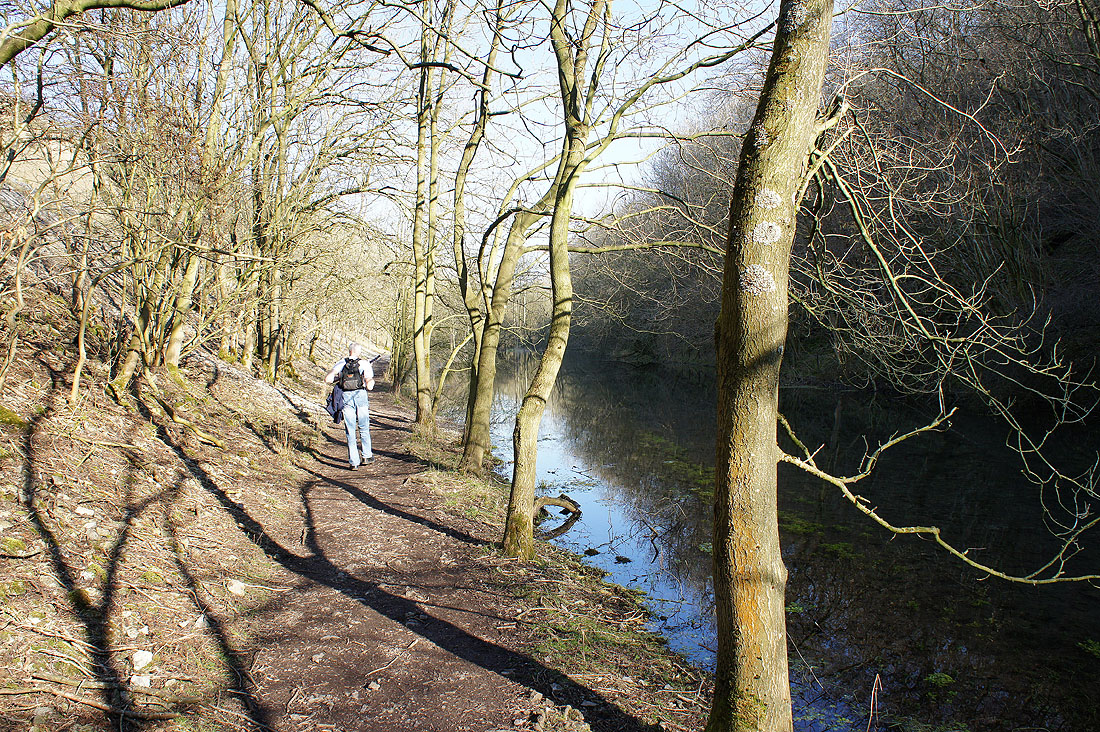
Woods..
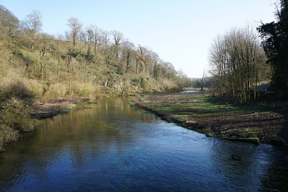
..crystal clear waters..
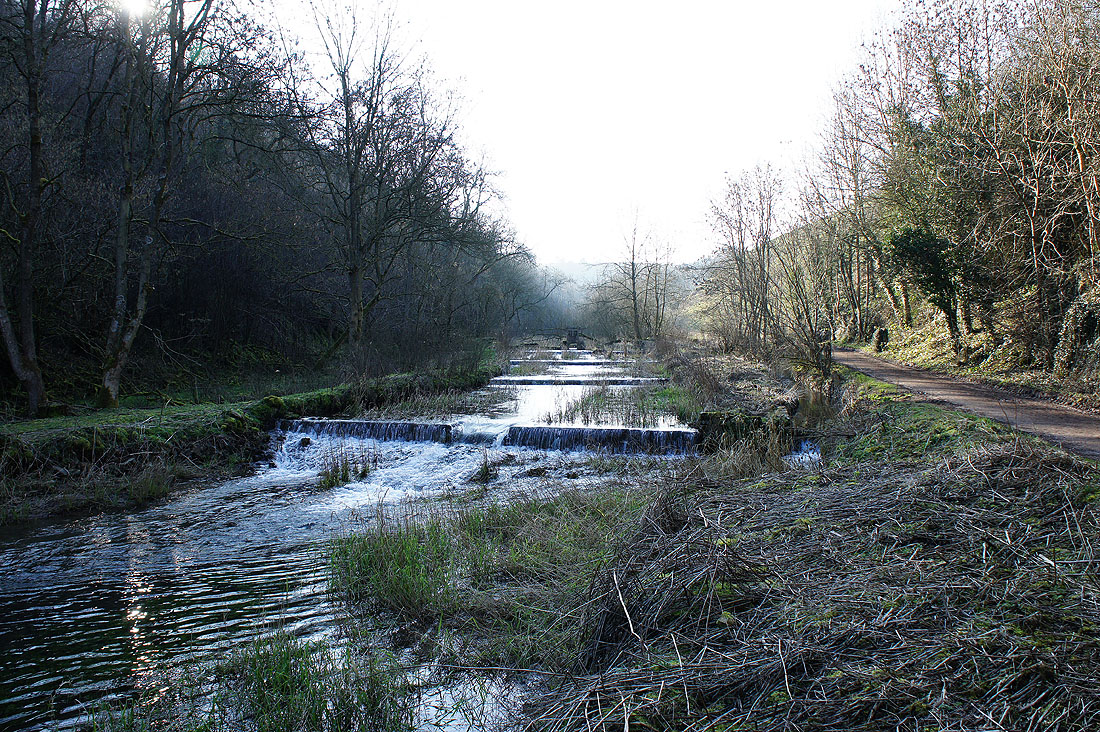
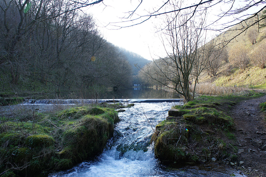
..and many weirs
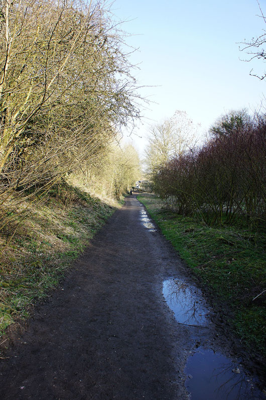
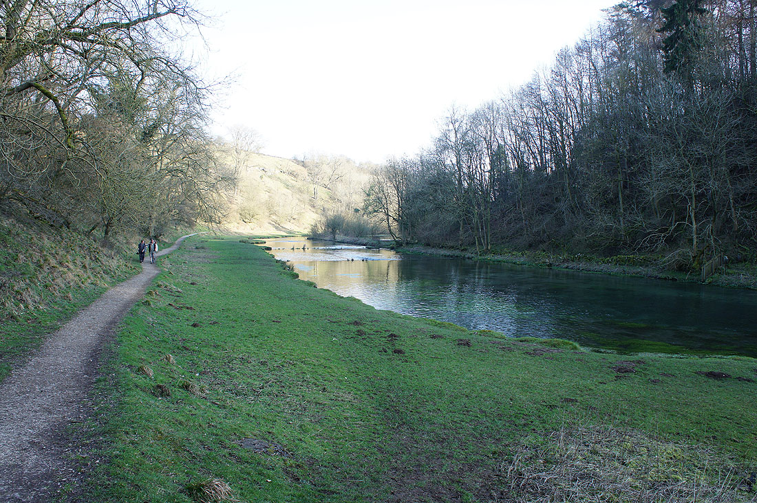
There is an option to shorten the walk at the end of this track. A steep lane leads up into Over Haddon.
We're continuing to follow the path by the Lathkill though..
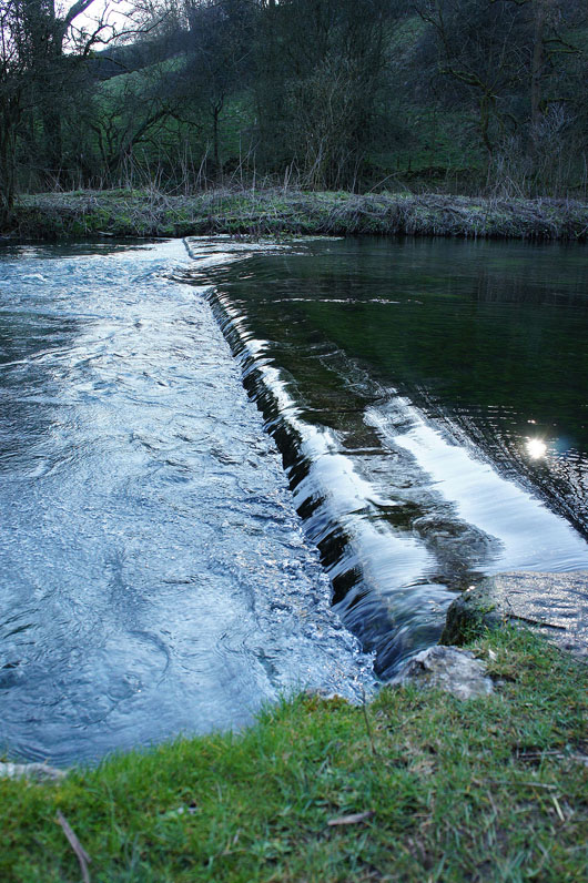
There are numerous weirs on this stretch of the river..
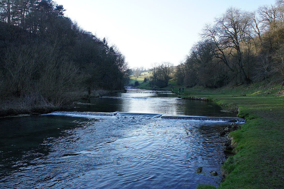
The Lathkill is finally left behind at Conksbury Bridge
A path crosses the hillside above the river. There's a great view upstream..
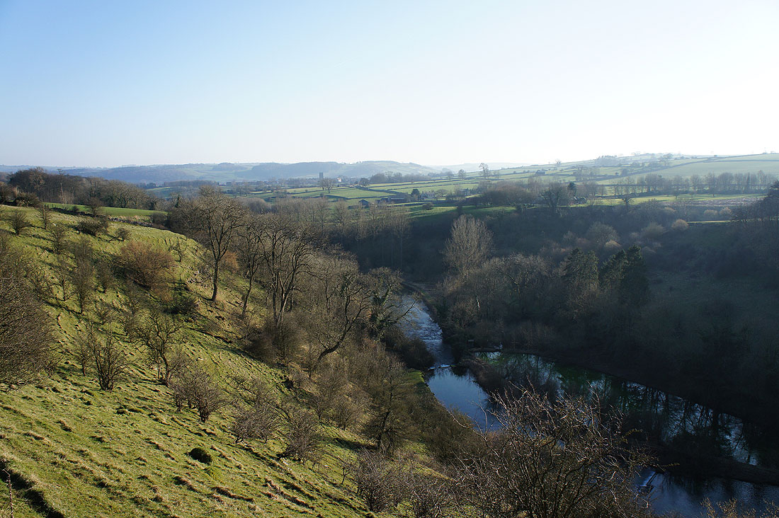
..and downstream
Over Haddon now in sight
A final shot looking down Lathkill Dale as we reach the village