10th April 2010 - Middleton Fell
Walk Details
Distance walked: 12.4 miles
Total ascent: 2158 ft
OS map used: OL2 - Yorkshire Dales, Southern & Western areas
Time taken: 6 hrs
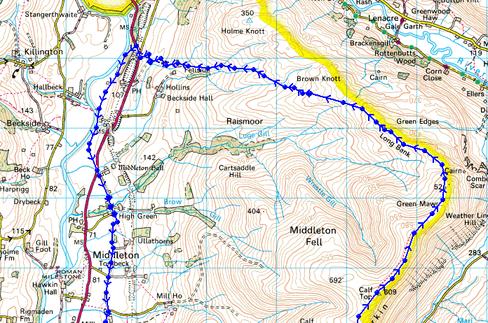
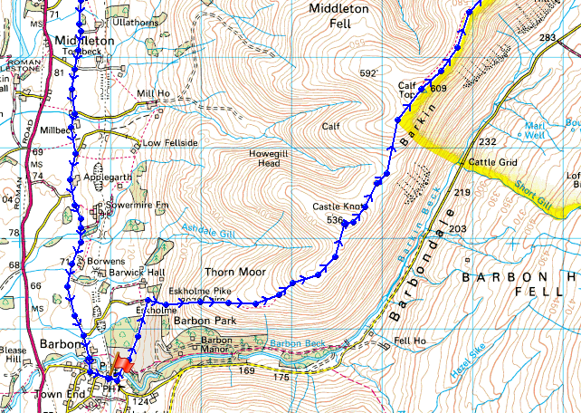
Route description: Barbon-Eskholme-Eskholme Pike-Castle Knott-Calf Top-Barkin Top-Long Bank-Fellside-A683-River Lune-Low Waterside-Middleton Hall Bridge-Middleton-High Road-Barbon
An ascent of Middleton Fell from Barbon with the return by the River Lune and country lanes.
Route map
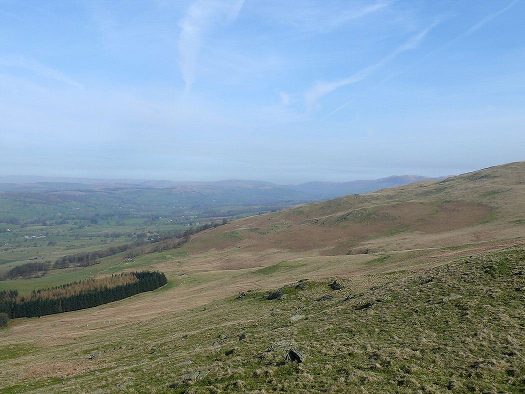
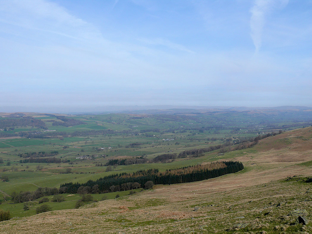
The Lune valley from Eskholme Pike
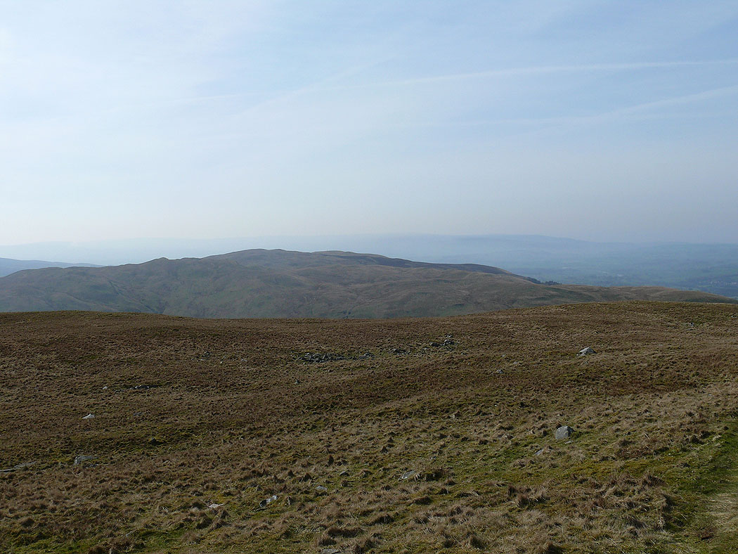
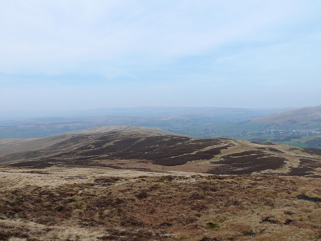
Barbon Low Fell
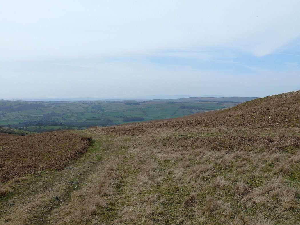
The Lune valley
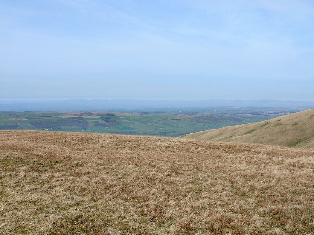
The Lake District fells can just be made out through the haze
Barbon Low Fell
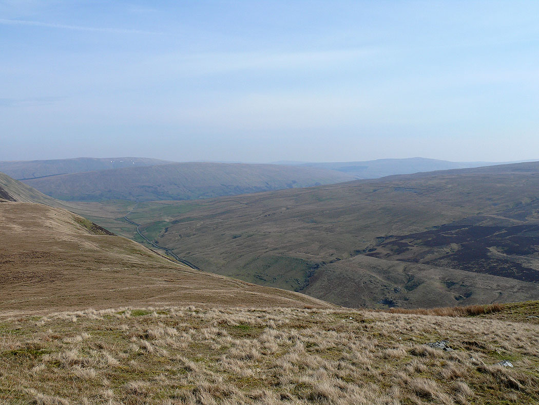
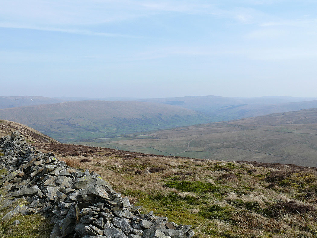
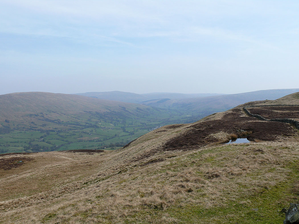
Barbondale leading up to Dentdale from Castle Knott
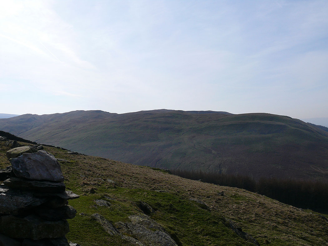
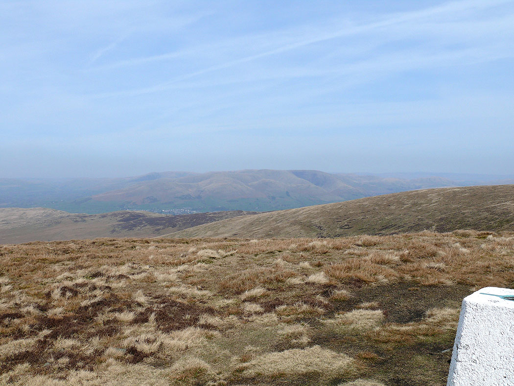
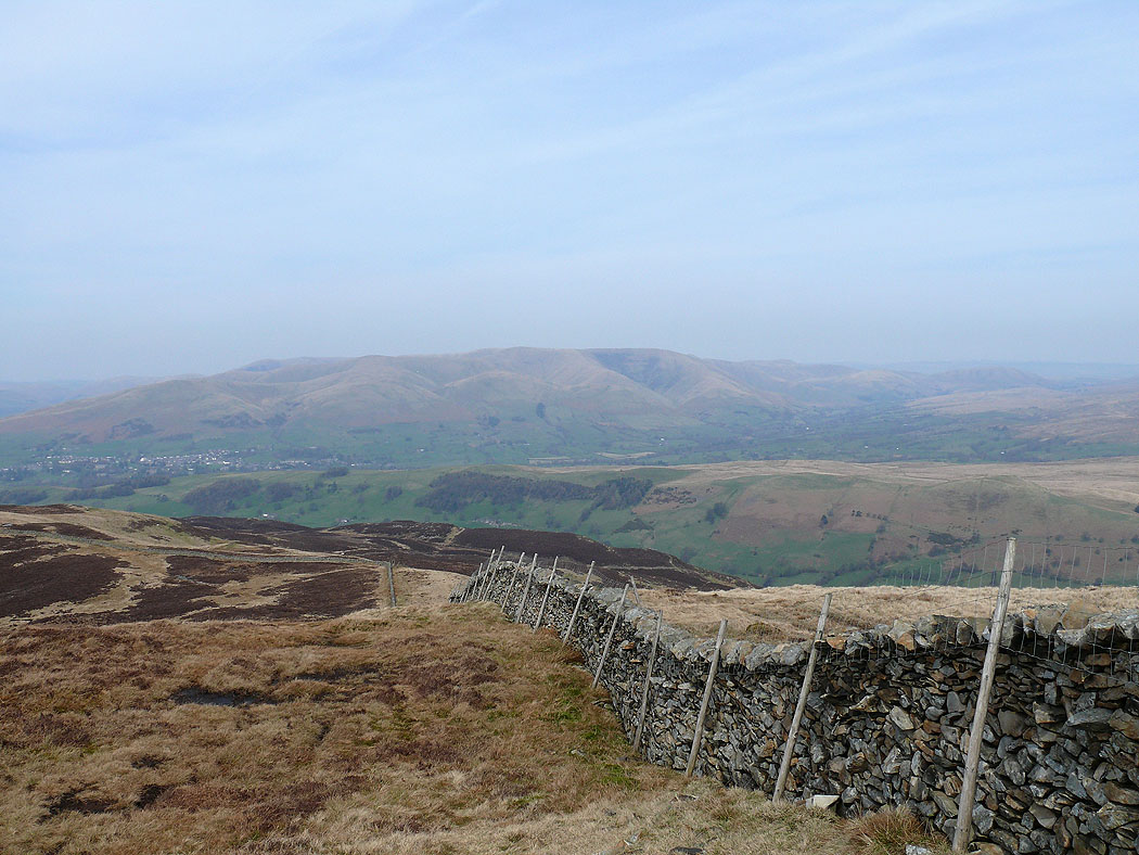
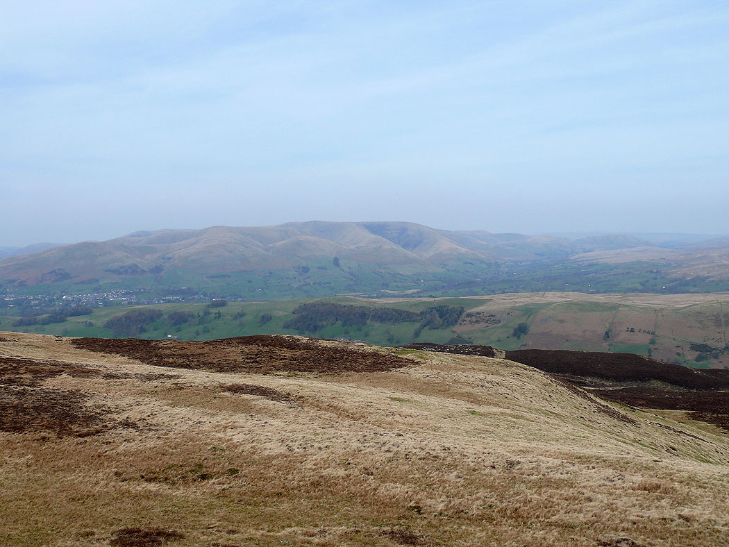
The Howgills from Calf Top, the summit of Middleton Fell
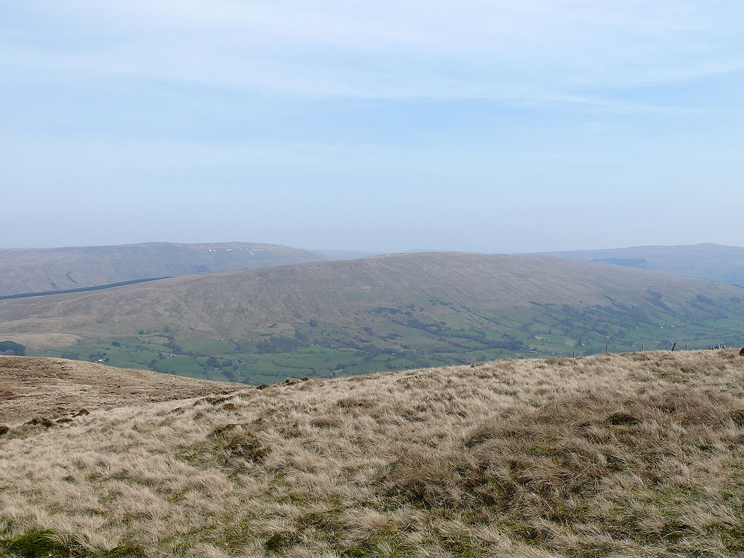
Dentdale and Great Knoutberry Hill
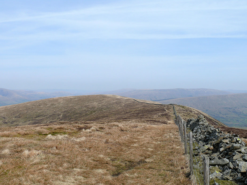
The route ahead along the top of the ridge
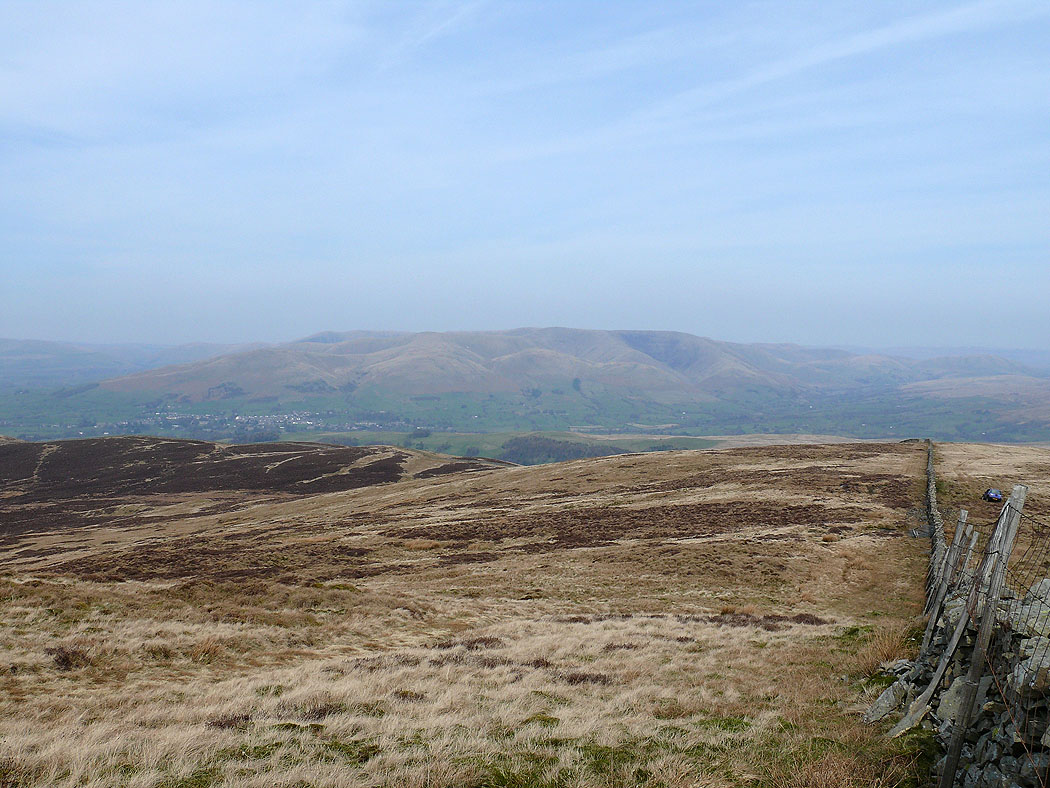
The Howgills
Aye Gill Pike above Dentdale with Baugh Fell behind
The Howgills on my descent
The ridge back down to the valley
Dentdale
The Howgills
The descent into the Lune valley
