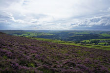
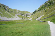
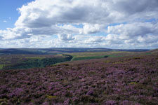
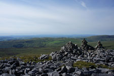
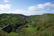
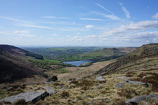
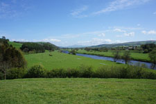
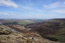
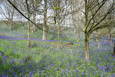
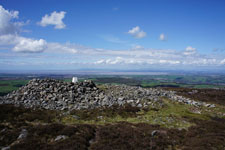
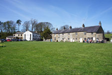
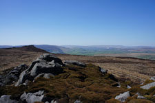
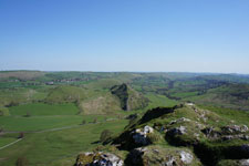
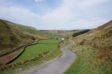
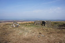
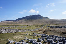
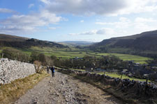
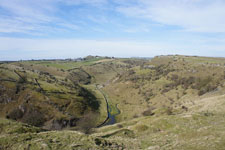
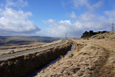
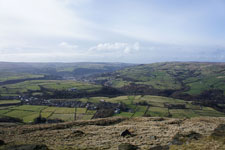
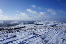
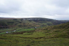
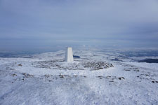
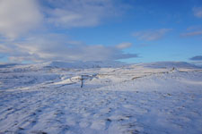
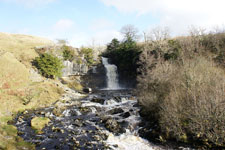
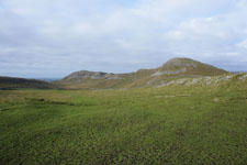
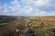
Pennine Walker, a photographic walking diary

  • HOME
  • About this site
  • Walking Diaries
    • Walking Diary 2022
    • Walking Diary 2021
    • Walking Diary 2020
    • Walking Diary 2019
    • Walking Diary 2018
    • Walking Diary 2017
    • Walking Diary 2016
    • Walking Diary 2015
    • Walking Diary 2014
    • Walking Diary 2013
    • Walking Diary 2012
    • Walking Diary 2011
    • Walking Diary 2010
    • Walking Diary 2009
    • Walking Diary 2008
  • Lake District Walks
  • Peak District Walks
  • Yorkshire Dales Walks
  • Forest of Bowland, Pendle & West Pennine Moors Walks
  • South Pennines Walks
  • Walks in other areas
  • Links Page

Walking Diary 2015

All my walks from 2015 are on this page. Just click on the photo or link to go to the report.
Picture


​29th December 2015 - A Four Edges Walk (9.7 miles/ 1600 ft ascent)

Picture


​27th December 2015 - Pendle Hill (7.3 miles/ 1038 ft ascent)

Picture


​20th December 2015 - Eyam Edge & Foolow (9.2 miles/ 1524 ft ascent)

Picture


​13th December 2015 - Smearsett Scar (8.6 miles/ 1345 ft ascent)

Picture


​6th December 2015 - Bride Stones Moor (5.9 miles/ 1234 ft ascent)

Picture


​22nd November 2015 - Silverdale & Arnside Knott (10.1 miles/ 1502 ft ascent)

Picture


​21st November 2015 - Grit Fell & Clougha Pike (8.1 miles/ 1805 ft ascent)

Picture


​12th November 2015 - Attermire Scar & Catrigg Force (7.3 miles/ 1868 ft ascent)

Picture


​10th November 2015 - Stoodley Pike (5.6 miles/ 1145 ft ascent)

Picture


​1st November 2015 - Pendle Hill (8.9 miles/ 1639 ft ascent)

Picture


​31st October 2015 - Ramshaw Rocks & The Roaches (9.9 miles/ 1876 ft ascent)

Picture


​25th October 2015 - Shining Tor, Burbage Edge & the Vale of Goyt (10.8 miles/ 1963 ft ascent)

Picture


​17th October 2015 - Standedge & Pule Hill (7.9 miles/ 1451 ft ascent)

Picture


​10th October 2015 - Black Hill (9.9 miles/ 1864 ft ascent)

Picture


​3rd October 2015 - The Ill Bell ridge & High Street (13.4 miles/ 3678 ft ascent)

Picture


​27th September 2015 - High Seat & Mallerstang Edge (11.3 miles/ 2070 ft ascent)

Picture


​19th September 2015 - Stanage Edge, Higger Tor & Carhead Rocks (10.4 miles/ 1863 ft ascent)

Picture


​11th September 2015 - Fellbarrow & Low Fell (7.7 miles/ 1873 ft ascent)

Picture


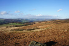
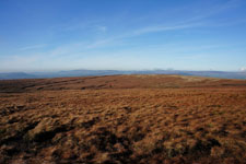
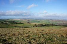
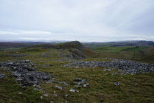
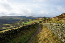
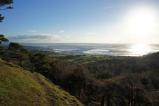
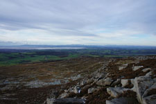
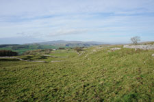
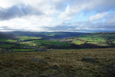
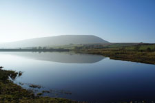
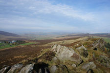
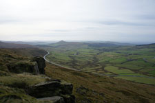
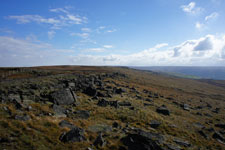
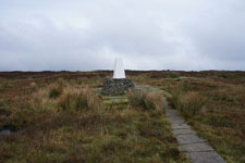
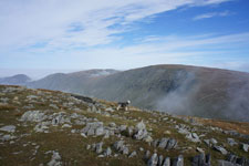
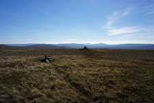
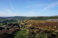
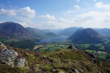
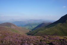
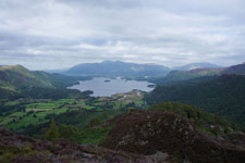
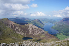
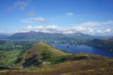
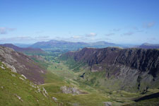
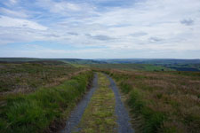
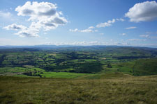
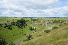
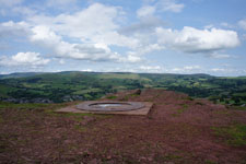
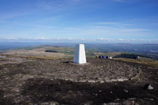
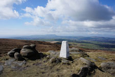
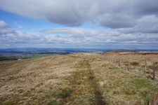
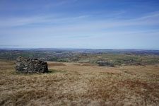
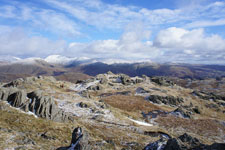
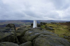
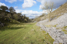
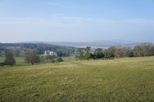
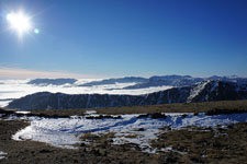
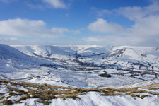
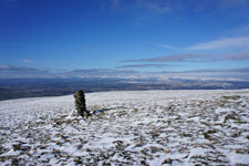
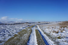
​10th September 2015 - The fells south of Coledale plus Wandope & Grasmoor (11.3 miles/ 4735 ft ascent)

Picture


​9th September 2015 - Great Crag & Grange Fell (8.1 miles/ 2210 ft ascent)

Picture


​8th September 2015 - High Stile, High Crag & Haystacks (6.4 miles/ 3389 ft ascent)

Picture


​7th September 2015 - Catbells, Maiden Moor & High Spy (9.4 miles/ 2512 ft ascent)

Picture


​6th September 2015 - The Newlands fells, Knott Rigg & Ard Crags (10.8 miles/ 4074 ft ascent)

Picture


​29th August 2015 - High Brown Knoll & Midgley Moor (8.9 miles/ 1884 ft ascent)

Picture


​23rd August 2015 - The Delights of Malham (11.5 miles/ 1923 ft ascent)

Picture


​15th August 2015 - Margery Hill & Derwent Edge (13.5 miles/ 1934 ft ascent)

Picture


​8th August 2015 - Crag Hill, Great Coum & Gragareth (13.9 miles/ 2472 ft ascent)

Picture


​2nd August 2015 - Widdop & Wadsworth Moor (10.7 miles/ 1854 ft ascent)

Picture


​25th July 2015 - The Howgills (9.6 miles/ 2998 ft ascent)

Picture


​18th July 2015 - Monyash & Lathkill Dale (9.3 miles/ 1426 ft ascent)

Picture


​12th July 2015 - Cracken Edge, South Head & Eccles Pike (8.8 miles/ 2309 ft ascent)

Picture


​4th July 2015 - The moors above Kelbrook (8.8 miles/ 1562 ft ascent)

Picture


​27th June 2015 - The Limestone Way & Hay Dale from Miller's Dale (10.5 miles/ 1480 ft ascent)

Picture


​21st June 2015 - The Lothersdale Hills (8.4 miles/ 1796 ft ascent)

Picture


​13th June 2015 - Black Hill & The Rough (8.1 miles/ 1501 ft ascent)

Picture


​11th June 2015 - Sunset on Holcombe Moor (4.5 miles/ 705 ft ascent)

Picture


​7th June 2015 - The long way to Bride Stones Moor (12.9 miles/ 1824 ft ascent)

Picture


​30th May 2015 - Hartington and its Dales (10.5 miles/ 2002 ft ascent)

Picture


​23rd May 2015 - A Saddleworth Circular (8.7 miles/ 1979 ft ascent)

Picture


​16th May 2015 - A trio of Dales from Monsal Head (8.6 miles/ 1601 ft ascent)

Picture


​13th May 2015 - A Dove Stone Horseshoe (11.8 miles/ 2034 ft ascent)

Picture


​11th May 2015 - River Lune bluebells (7.3 miles/ 840 ft ascent)

Picture


​4th May 2015 - Kinder Scout's northern edges (9.4 miles/ 1756 ft ascent)

Picture


​1st May 2015 - River Brock bluebells (7.8 miles/ 1035 ft ascent)

Picture


​27th April 2015 - Clougha Pike & Grit Fell (6.2 miles/ 1257 ft ascent)

Picture


​22nd April 2015 - Easington Fell (8.8 miles/ 1368 ft ascent)

Picture


​21st April 2015 - Simon's Seat (9.5 miles/ 1976 ft ascent)

Picture


​18th April 2015 - The Peaks of the Peak (9.9 miles/ 2464 ft ascent)

Picture


​17th April 2015 - Dunsop Bridge & Whins Brow (9.4 miles/ 1653 ft ascent)

Picture


​10th April 2015 - Anglezarke Moor (9.0 miles/ 1438 ft ascent)

Picture


​7th April 2015 - Penyghent (8.2 miles/ 1802 ft ascent)

Picture


​6th April 2015 - Pendle Hill (7.6 miles/ 1026 ft ascent)

Picture


​5th April 2015 - Boulsworth Hill (8.5 miles/ 1919 ft ascent)

Picture


​4th April 2015 - Darwen Moor (6.7 miles/ 1190 ft ascent)

Picture


​2nd April 2015 - Nab Hill (8.1 miles/ 1274 ft ascent)

Picture


​25th March 2015 - A Mardale Round (7.9 miles/ 2717 ft ascent)

Picture


​22nd March 2015 - Alport Castles (9.3 miles/ 2019 ft ascent)

Picture


​21st March 2015 - Heptonstall Moor (7.5 miles/ 1389 ft ascent)

Picture


​18th March 2015 - Haworth Moor (7.9 miles/ 1231 ft ascent)

Picture


​10th March 2015 - Great Whernside (7.4 miles/ 1856 ft ascent)

Picture


​7th March 2015 - Tideswell & Cressbrook Dales (9.1 miles/ 1598 ft ascent)

Picture


​4th March 2015 - Summit Reservoirs (8.5 miles/ 1117 ft ascent)

Picture


​27th February 2015 - Stoodley Pike (7.3 miles/ 978 ft ascent)

Picture


​21st February 2015 - Blea Rigg & Silver How (7.3 miles/ 1988 ft ascent)

Picture


​​20th February 2015 - Bride Stones Moor (5.6 miles/ 1124 ft ascent)

Picture


​17th February 2015 - Taddington Moor & Chee Dale (9.0 miles/ 1667 ft ascent)

Picture


​15th February 2015 - Silverdale & Warton Crag (9.4 miles/ 1140 ft ascent)

Picture


​8th February 2015 - The Fairfield Horseshoe (10.4 miles/ 3493 ft ascent)

Picture


​6th February 2015 - The Great Ridge (7.5 miles/ 1690 ft ascent)

Picture


​3rd February 2015 - Middleton Fell (7.5 miles/ 1690 ft ascent)

Picture


​1st February 2015 - The Dales Way & the moors above Grassington (9.8 miles/ 1251 ft ascent)

Picture


​30th January 2015 - Cribden Hill

Picture


​26th January 2015 - Thieveley Pike & Black Scout (6.2 miles/ 1507 ft ascent)

Picture


​20th January 2015 - Pendle Hill (6.4 miles/ 1503 ft ascent)

Picture


​19th January 2015 - Ingleborough (9.8 miles/ 2150 ft ascent)

Picture


​8th January 2015 - Ingleton Falls (4.0 miles/ 924 ft ascent)

Picture


​4th January 2015 - Smearsett Scar (7.7 miles/ 1526 ft ascent)

Picture


2nd January 2015 - Baslow, Curbar & Froggatt Edges (9.4 miles/ 1316 ft ascent)

© Alan Kilduff 2016-2023                                                                                                                                                                                                                                                                      
  • HOME
  • About this site
  • Walking Diaries
    • Walking Diary 2022
    • Walking Diary 2021
    • Walking Diary 2020
    • Walking Diary 2019
    • Walking Diary 2018
    • Walking Diary 2017
    • Walking Diary 2016
    • Walking Diary 2015
    • Walking Diary 2014
    • Walking Diary 2013
    • Walking Diary 2012
    • Walking Diary 2011
    • Walking Diary 2010
    • Walking Diary 2009
    • Walking Diary 2008
  • Lake District Walks
  • Peak District Walks
  • Yorkshire Dales Walks
  • Forest of Bowland, Pendle & West Pennine Moors Walks
  • South Pennines Walks
  • Walks in other areas
  • Links Page