Pennine Walker, a photographic walking diary

  • HOME
  • About this site
  • Walking Diaries
    • Walking Diary 2024
    • Walking Diary 2023
    • Walking Diary 2022
    • Walking Diary 2021
    • Walking Diary 2020
    • Walking Diary 2019
    • Walking Diary 2018
    • Walking Diary 2017
    • Walking Diary 2016
    • Walking Diary 2015
    • Walking Diary 2014
    • Walking Diary 2013
    • Walking Diary 2012
    • Walking Diary 2011
    • Walking Diary 2010
    • Walking Diary 2009
    • Walking Diary 2008
  • Lake District Walks
  • Peak District Walks
  • Yorkshire Dales Walks
  • Forest of Bowland, Pendle & West Pennine Moors Walks
  • South Pennines Walks
  • Walks in other areas
  • Links Page

Walking Diary 2011

​​All my walks from 2011 are on this page. Just click on the photo or link to go to the report.
Picture


27th December 2011 - Bull Hill and Holcombe Moor (4.6 miles/ 735 ft ascent)

Picture


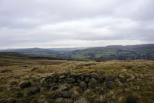
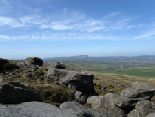
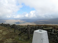
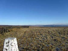
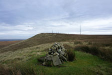
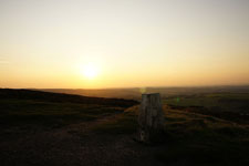
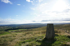
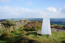
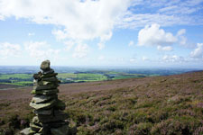
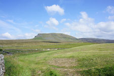
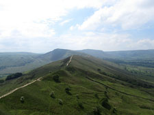
18th December 2011 - Pendle Hill
(6.7 miles/ 1568 ft ascent)

Picture


7th November 2011 - A Coledale Horseshoe (10.8 miles/ 4289 ft ascent)

Picture


6th November 2011 - Ingleborough (10.5 miles/ 2366 ft ascent)

Picture


5th November 2011 - Winter Hill and Rivington Pike (9.0 miles/ 1634 ft ascent)

Picture


22nd October 2011 - Attermire Scar and Catrigg Force (8.9 miles/ 1868 ft ascent)

Picture


15th October 2011 - Sour Howes, Sallows and the Ill Bell ridge (11.4 miles/ 3724 ft ascent)

Picture


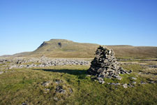
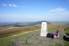
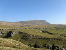
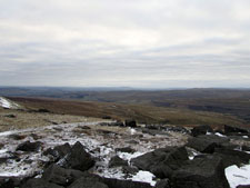
1st October 2011 - Shutlingsloe
(13.0 miles/ 3040 ft ascent)

Picture


29th September 2011 - Sunset on Darwen Moor (3.5 miles/ 578 ft ascent)

Picture


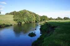
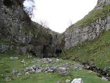
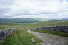
25th September 2011 - Around Whalley and the River Calder
(6.0 miles/ 884 ft ascent)

Picture


23rd September 2011 - Hog Lowe Pike (4.5 miles/ 832 ft ascent)

Picture


18th September 2011 - Great Harlow and Bowland Knotts (7.2 miles/ 1225 ft ascent)

Picture


9th September 2011 - Hog Lowe Pike (2.3 miles/ 526 ft ascent)

Picture


4th September 2011 - A circuit of Barden Moor (12.0 miles/ 1865 ft ascent)

Picture


29th August 2011 - Clougha Pike (6.0 miles/ 1256 ft ascent)

Picture


28th August 2011 - Boulsworth Hill (6.1 miles/ 936 ft ascent)

Picture


25th August 2011 - A Dove Stone Horseshoe (11.2 miles/ 1846 ft ascent)

Picture


24th August 2011 - Malham and Kilnsey Moors (11.2 miles/ 1846 ft ascent)

Picture


21st August 2011 - Kinder's northern edges (9.4 miles/ 1701 ft ascent)

Picture


14th August 2011 - A Bleasdale Round (12.4 miles/ 1942 ft ascent)

Picture


30th July 2011 - Penyghent and Fountains Fell (12.4 miles/ 2485 ft ascent)

Picture


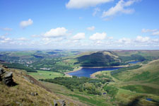
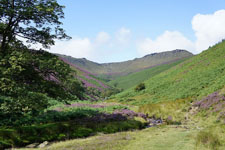
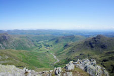
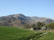
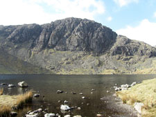
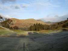
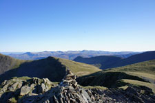
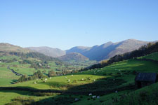
24th July 2011 - Pike o'Blisco, Crinkle Crags and Bowfell
(9.1 miles/ 3872 ft ascent)

Picture


July 2011 - Ireland

Picture


3rd July 2011 - The Nab and several other far eastern fells (10.4 miles/ 3712 ft ascent)

Picture


20th June to 1st July 2011 - Switzerland

Picture


16th June 2011 - Simon's Seat (8.7 miles/ 1544 ft ascent)

Picture


14th June 2011 - Baugh Fell (10.9 miles/ 2049 ft ascent)

Picture


13th June 2011 - Pendle Hill (5.1 miles/ 1265 ft ascent)

Picture


4th June 2011 - The Great Ridge (12.3 miles/ 2680 ft ascent)

Picture


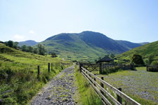
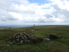
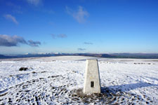
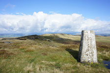
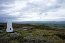
30th May 2011 - Bull Hill and Holcombe Moor
(4.9 miles/ 764 ft ascent)

Picture


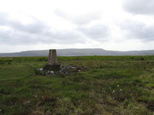
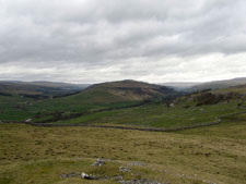
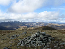
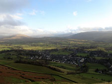
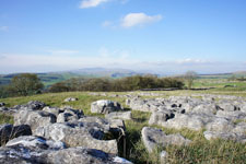
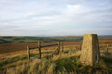
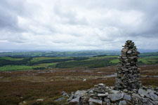
29th May 2011 - Cheetham Close & Turton Heights
(4.9 miles/ 765 ft ascent)

Picture


14th May 2011 - Kinder Scout (8.7 miles/ 2054 ft ascent)

Picture


8th May 2011 - Darwen Moor (5.0 miles/ 897 ft ascent)

Picture


2nd May 2011 - A Malham Circuit (10.3 miles/ 1826 ft ascent)

Picture


1st May 2011 - Whelp Stone Crag and Bowland Knotts (10.8 miles/ 1506 ft ascent)

Picture


29th April 2011 - Hoof Stones Height (7.4 miles/ 1269 ft ascent)

Picture


24th April 2011 - Carlingill and The Calf (8.3 miles/ 2593 ft ascent)

Picture


23rd April 2011 - Wolfhole Crag (10.7 miles/ 2425 ft ascent)

Picture


17th April 2011 - Old Cote Moor Top (10.7 miles/ 1507 ft ascent)

Picture


10th April 2011 - Boulsworth Hill (7.6 miles/ 1432 ft ascent)

Picture


9th April 2011 - The northern Coniston fells (10.4 miles/ 3533 ft ascent)

Picture


3rd April 2011 - Trollers Gill (7.5 miles/ 1046 ft ascent)

Picture


1st April 2011 - Conistone Dib (7.8 miles/ 1123 ft ascent)

Picture


27th March 2011 - The Langdale Pikes (5.9 miles/ 2648 ft ascent)

Picture


19th March 2011 - Middleton Fell (12.4 miles/ 2158 ft ascent)

Picture


13th March 2011 - A round of Mardale (8.9 miles/ 3192 ft ascent)

Picture


6th March 2011 - Penyghent (9.0 miles/ 1915 ft ascent)

Picture


12th February 2011 - Cautley Spout and The Calf (10.5 miles/ 2643 ft ascent)

Picture


29th January 2011 - Whitendale and the Roman Road (12.9 miles/ 2163 ft ascent)

Picture


22nd January 2011 - A Fairfield Horseshoe (10.4 miles/ 3452 ft ascent)

Picture


2nd January 2011 - Great Whernside (9.1 miles/ 2005 ft ascent)

© Alan Kilduff 2016-2025                                                                                                                                                                                                                                                                      
  • HOME
  • About this site
  • Walking Diaries
    • Walking Diary 2024
    • Walking Diary 2023
    • Walking Diary 2022
    • Walking Diary 2021
    • Walking Diary 2020
    • Walking Diary 2019
    • Walking Diary 2018
    • Walking Diary 2017
    • Walking Diary 2016
    • Walking Diary 2015
    • Walking Diary 2014
    • Walking Diary 2013
    • Walking Diary 2012
    • Walking Diary 2011
    • Walking Diary 2010
    • Walking Diary 2009
    • Walking Diary 2008
  • Lake District Walks
  • Peak District Walks
  • Yorkshire Dales Walks
  • Forest of Bowland, Pendle & West Pennine Moors Walks
  • South Pennines Walks
  • Walks in other areas
  • Links Page