Pennine Walker, a photographic walking diary
HOME
About this site
Walking Diaries
Walking Diary 2024
Walking Diary 2023
Walking Diary 2022
Walking Diary 2021
Walking Diary 2020
Walking Diary 2019
Walking Diary 2018
Walking Diary 2017
Walking Diary 2016
Walking Diary 2015
Walking Diary 2014
Walking Diary 2013
Walking Diary 2012
Walking Diary 2011
Walking Diary 2010
Walking Diary 2009
Walking Diary 2008
Lake District Walks
Peak District Walks
Yorkshire Dales Walks
Forest of Bowland, Pendle & West Pennine Moors Walks
South Pennines Walks
Walks in other areas
Links Page
Walking Diary 2014
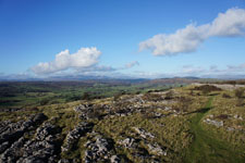
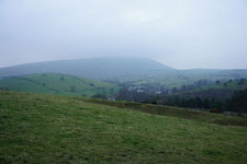
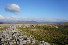
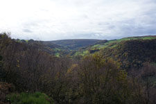
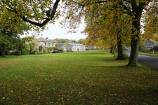
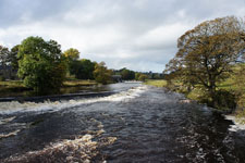
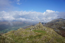
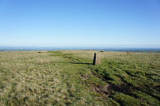
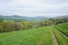
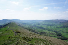
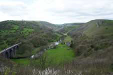
All my walks from 2014 are on this page. Just click on the photo or link to go to the report.
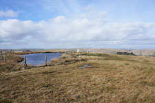
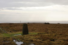
28th December 2014 - Blackstone Edge
(7.1 miles/ 1436 ft ascent)
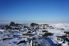
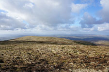
24th December 2014 - Kinder Downfall
(7.4 miles/ 1923 ft ascent)
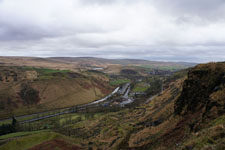
19th December 2014 - Longridge Fell
(8.3 miles/ 1106 ft ascent)
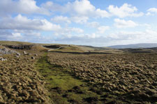
15th December 2014 - Nicky Nook
(3.8 miles/ 785 ft ascent)
13th December 2014 - The Calf
(8.5 miles/ 2559 ft ascent)
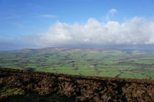
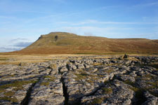
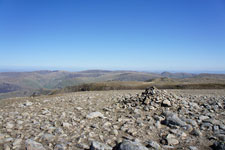
12th December 2014 - Pendle Hill
(4.0 miles/ 1229 ft ascent)
8th December 2014 - Around Malham
(7.3 miles/ 1256 ft ascent)
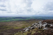
5th December 2014 - Clougha Pike
(2.8 miles/ 1027 ft ascent)
3rd December 2014 - Whernside
(7.7 miles/ 1608 ft ascent)
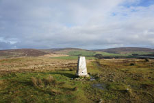
2nd December 2014 - Penyghent
(5.7 miles/ 1601 ft ascent)
30th November 2014 - The Langdale Pikes
(5.4 miles/ 2552 ft ascent)
25th November 2014 - Pendle Hill
(5.9 miles/ 1218 ft ascent)
24th November 2014 - Ingleborough
(7.0 miles/ 2052 ft ascent)
23rd November 2014 - Hampsfell
(5.4 miles/ 1156 ft ascent)
20th November 2014 - Witch Country
(5.9 miles/ 1183 ft ascent)
18th November 2014 - Crummack Dale & Norber
(9.9 miles/ 1353 ft ascent)
16th November 2014 - Arnside & Arnside Knott
(8.1 miles/ 1104 ft ascent)
9th November 2014 - Meltham Moor
(9.4 miles/ 1460 ft ascent)
2nd November 2014 - Millstone Edge
(5.2 miles/ 826 ft ascent)
1st November 2014 - Combs Edge
(7.0 miles/ 1285 ft ascent)
26th October 2014 - Cragg Vale
(6.2 miles/ 1483 ft ascent)
18th October 2014 - Around Bolton-by-Bowland
(6.0 miles/ 517 ft ascent)
16th October 2014 - By the Wharfe from Grassington
(4.4 miles/ 428 ft ascent)
12th October 2014 - The Dunnerdale Fells
(7.4 miles/ 2828 ft ascent)
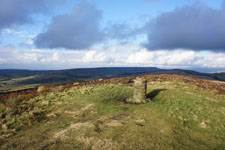
4th October 2014 - Stoodley Pike
(6.1 miles/ 1169 ft ascent)
28th September 2014 - Jumble Hole Clough
(5.0 miles/ 1124 ft ascent)
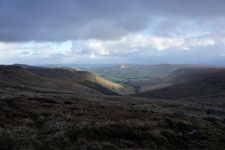
27th September 2014 - Along Kinder's Southern Edge
(9.0 miles/ 1959 ft ascent)
21st September 2014 - Ward's Stone
(12.0 miles/ 1673 ft ascent)
13th September 2014 - A Deepdale Horseshoe
(9.1 miles/ 3466 ft ascent)
7th September 2014 - Stanbury Moor & Top Withins
(7.3 miles/ 1125 ft ascent)
6th September 2014 - The Coniston Fells
(10.1 miles/ 4139 ft ascent)
31st August 2014 - Cracoe Fell & Burnsall Fell
(12.8 miles/ 2014 ft ascent)
30th August 2014 - Earl Crag
(6.6 miles/ 1250 ft ascent)
24th August 2014 - Buckden Pike
(10.5 miles/ 2044 ft ascent)
23rd August 2014 - The Saddleworth Edges
(9.4 miles/ 1801 ft ascent)
22nd August 2014 - Bamford Edge & Stanage Edge
(12.7 miles/ 2281 ft ascent)
20th August 2014 - Crinkle Crags & Bowfell
(8.3 miles/ 3499 ft ascent)
19th August 2014 - Ilkley Moor
(9.0 miles/ 1122 ft ascent)
9th August 2014 - Back Tor & Derwent Edge
(11.7 miles/ 2065 ft ascent)
4th August 2014 - Across Holcombe Moor
(4.5 miles/ 705 ft ascent)
3rd August 2014 - Wolfscote Dale, Shining Tor & Beresford Dale
(9.6 miles/ 1676 ft ascent)
26th July 2014 - The Howgills
(10.3 miles/ 2825 ft ascent)
13th July 2014 - Aughton & the Lune
(10.0 miles/ 795 ft ascent)
12th July 2014 - The Hodder & the Ribble
(8.6 miles/ 920 ft ascent)
5th July 2014 - Melmerby Fell
(11.1 miles/ 2169 ft ascent)
29th June 2014 - Under Longridge & the Ribble
(8.5 miles/ 1037 ft ascent)
28th June 2014 - Lingmoor Fell
(7.2 miles/ 1863 ft ascent)
22nd June 2014 - A Bleasdale Round
(10.9 miles/ 1607 ft ascent)
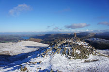
21st June 2014 - Swirl How, the Old Man & Dow Crag
(10.8 miles/ 3814 ft ascent)
14th June 2014 - Capplestone Gate & the Dales Way
(9.3 miles/ 1683 ft ascent)
8th June 2014 - Hebden Dale & Colden Clough
(10.0 miles/ 2165 ft ascent)
1st June 2014 - Thieveley Pike & Black Scout
(6.2 miles/ 1507 ft ascent)
31st May 2014 - Across High Cote Moor & back
(12.2 miles/ 1747 ft ascent)
26th May 2014 - Bride Stones Moor
(7.1 miles/ 1267 ft ascent)
25th May 2014 - Hodder Bank Fell
(6.9 miles/ 743 ft ascent)
18th May 2014 - Roeburndale from Wray
(9.4 miles/ 1573 ft ascent)
17th May 2014 - Easington Fell & the Hodder
(7.1 miles/ 1225 ft ascent)
14th May 2014 - Across Holcombe Moor
(4.5 miles/ 705 ft ascent)
5th May 2014 - Whitewell & the Hodder
(7.0 miles/ 828 ft ascent)
3rd May 2014 - Cave Dale & the Great Ridge
(9.2 miles/ 1921 ft ascent)
27th April 2014 - The River Brock & Beacon Fell
(6.2 miles/ 909 ft ascent)
19th April 2014 - Longstone Moor & Cressbrook Dale
(9.5 miles/ 1517 ft ascent)
18th April 2014 - A Scandale Horseshoe & a bit more
(12.2 miles/ 4534 ft ascent)
11th April 2014 - Grit Fell & Clougha Pike
(6.2 miles/ 1257 ft ascent)
10th April 2014 - Gowbarrow Fell
(3.9 miles/ 1279 ft ascent)
9th April 2014 - Muncaster Fell
(6.9 miles/ 1329 ft ascent)
8th April 2014 - Green Crag, Great Worm Crag & Stanley Gill
(10.1 miles/ 2073 ft ascent)
7th April 2014 - Eel Tarn from Boot
(2.3 miles/ 655 ft ascent)
29th March 2014 - Hutton Roof Crags & the River Lune
(12.2 miles/ 1447 ft ascent)
23rd March 2014 - Aye Gill Pike & Dentdale
(13.0 miles/ 1821 ft ascent)
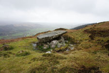
16th March 2014 - Stanton Moor & Robin Hood's Stride
(9.8 miles/ 1479 ft ascent)
15th March 2014 - Great Manshead Hill
(6.3 miles/ 870 ft ascent)
9th March 2014 - Magpie Mine & Lathkill Dale
(9.7 miles/ 1299 ft ascent)
1st March 2014 - The Southern Gritstone Edges
(11.3 miles/ 1846 ft ascent)
22nd February 2014 - Freeholds Top
(6.0 miles/ 1235 ft ascent)
16th February 2014 - Middleton Fell
(7.5 miles/ 2127 ft ascent)
9th February 2014 - Reddyshore Scout
(6.1 miles/ 894 ft ascent)
2nd February 2014 - Malham Moor & the Dales Way
(11.0 miles/ 1520 ft ascent)
25th January 2014 - Across Holcombe Moor
(5.0 miles/ 828 ft ascent)
19th January 2014 - The hills around Hayfield
(8.7 miles/ 2340 ft ascent)
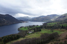
11th January 2014 - Place Fell
(8.0 miles/ 2426 ft ascent)
HOME
About this site
Walking Diaries
Walking Diary 2024
Walking Diary 2023
Walking Diary 2022
Walking Diary 2021
Walking Diary 2020
Walking Diary 2019
Walking Diary 2018
Walking Diary 2017
Walking Diary 2016
Walking Diary 2015
Walking Diary 2014
Walking Diary 2013
Walking Diary 2012
Walking Diary 2011
Walking Diary 2010
Walking Diary 2009
Walking Diary 2008
Lake District Walks
Peak District Walks
Yorkshire Dales Walks
Forest of Bowland, Pendle & West Pennine Moors Walks
South Pennines Walks
Walks in other areas
Links Page