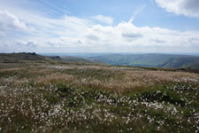
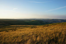
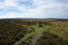
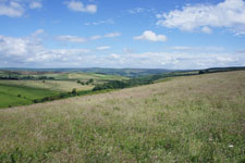
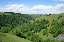
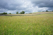
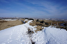
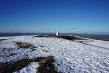
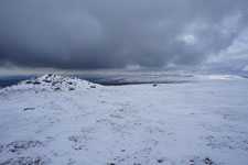
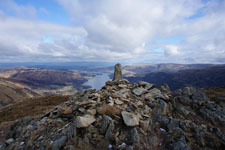
Pennine Walker, a photographic walking diary

  • HOME
  • About this site
  • Walking Diaries
    • Walking Diary 2024
    • Walking Diary 2023
    • Walking Diary 2022
    • Walking Diary 2021
    • Walking Diary 2020
    • Walking Diary 2019
    • Walking Diary 2018
    • Walking Diary 2017
    • Walking Diary 2016
    • Walking Diary 2015
    • Walking Diary 2014
    • Walking Diary 2013
    • Walking Diary 2012
    • Walking Diary 2011
    • Walking Diary 2010
    • Walking Diary 2009
    • Walking Diary 2008
  • Lake District Walks
  • Peak District Walks
  • Yorkshire Dales Walks
  • Forest of Bowland, Pendle & West Pennine Moors Walks
  • South Pennines Walks
  • Walks in other areas
  • Links Page

​Walking Diary 2016

All my walks from 2016 are on this page. Just click on the photo or link to go to the report.
Picture


28th December 2016 - Ingleborough (7.0 miles/ 2052 ft ascent)

Picture


27th December 2016 - Kinder Downfall (7.4 miles/ 1923 ft ascent)

Picture


26th December 2016 - Stoodley Pike (7.3 miles/ 978 ft ascent)

Picture


18th December 2016 - Holcombe Moor (5.5 miles/ 869 ft ascent)

Picture


17th December 2016 - Whernside (7.9 miles/ 1615 ft ascent)

Picture


11th December 2016 - Crook Hill to Rowlee Pasture (9.3 miles/ 1695 ft ascent)

Picture


10th December 2016 - Pendle Hill (7.0 miles/ 1266 ft ascent)

Picture


4th December 2016 - Gragareth (9.4 miles/ 1975 ft ascent)

Picture


26th November 2016 - Fairfield via Stone Arthur (7.7 miles/ 3069 ft ascent)

Picture


19th November 2016 - Cave Dale and the Great Ridge (8.7 miles/ 1848 ft ascent)

Picture


13th November 2016 - Taddington Moor (9.3 miles/ 1501 ft ascent)

Picture


11th November 2016 - Malham to Ribblesdale and back (11.9 miles/ 2132 ft ascent)

Picture


5th November 2016 - Stanage Edge (7.2 miles/ 1052 ft ascent)

Picture


30th October 2016 - Padley Gorge (7.6 miles/ 1378 ft ascent)

Picture


23rd October 2016 - Barrowford to Barley and back (7.1 miles/ 1240 ft ascent)

Picture


22nd October 2016 - Sponds Hill to Shining Tor (13.8 miles/ 2541 ft ascent)

Picture


17th October 2016 - Upper Ribblesdale (12.0 miles/ 1664 ft ascent)

Picture


14th October 2016 - Hebden Dale (12.0 miles/ 1842 ft ascent)

Picture


9th October 2016 - Fountains Fell & Penyghent (12.4 miles/ 2500 ft ascent)

Picture


2nd October 2016 - The Howgills (14.3 miles/ 3134 ft ascent)

Picture


25th September 2016 - By the Ribble & Beacon Hill (9.1 miles/ 979 ft ascent)

Picture


17th September 2016 - Wolfhole Crag & Ward's Stone (14.0 miles/ 1914 ft ascent)

Picture


16th September 2016 - Brennandale & Whins Brow (8.7 miles/ 1584 ft ascent)

Picture


14th September 2016 - The Langdale Pikes (6.2 miles/ 2532 ft ascent)

Picture


13th September 2016 - Boulsworth Hill (7.6 miles/ 1450 ft ascent)

Picture


10th September 2016 - A Lune Valley ramble (7.9 miles/ 441 ft ascent)

Picture


4th September 2016 - Pendle Hill (7.0 miles/ 1266 ft ascent)

Picture


29th August 2016 - A circuit of Barden Moor (14.8 miles/ 2136 ft ascent)

Picture


27th August 2016 - Bowland Knotts (8.6 miles/ 1409 ft ascent)

Picture


21st August 2016 - Ilkley Moor (11.1 miles/ 1470 ft ascent)

Picture


13th August 2016 - Ovenden Moor & Midgley Moor (15.2 miles/ 1878 ft ascent)

Picture


6th August 2016 - Margery Hill & Derwent Edge (15.2 miles/ 2373 ft ascent)

Picture


31st July 2016 - The Saddleworth Edges (9.4 miles/ 1801 ft ascent)

Picture


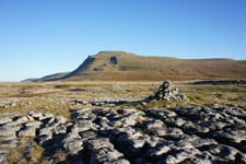
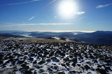
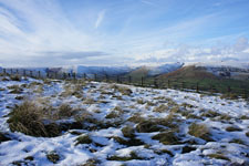
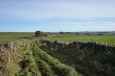
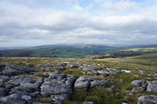
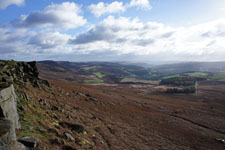
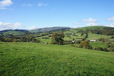
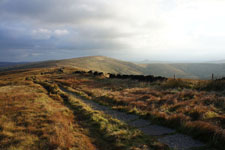
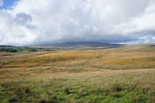
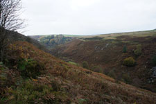
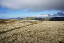
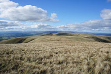
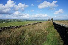
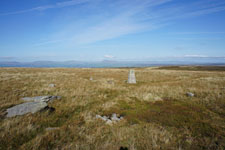
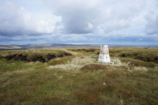
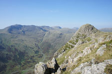
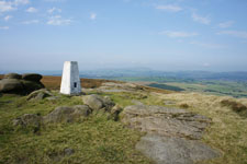
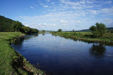
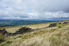
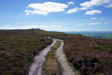
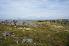
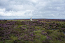
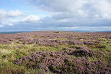
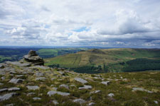
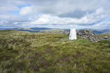
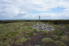
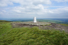
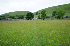
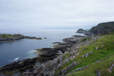
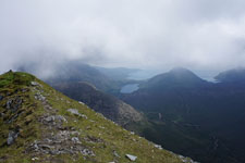
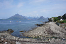
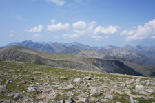
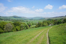
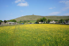
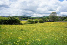
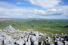
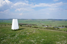
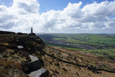
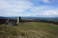
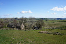
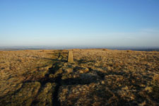
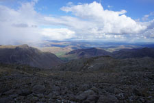
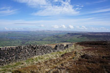
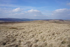
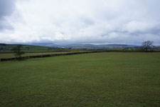
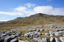
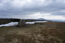
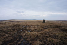
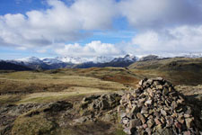
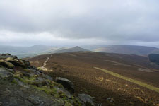
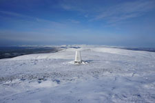
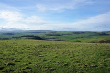
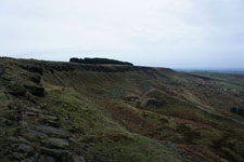
30th July 2016 - Middleton Fell
(13.8 miles/ 2370 ft ascent)

Picture


23rd July 2016 - A circuit of Kinder Scout (15.3 miles/ 2550 ft ascent)

Picture


18th July 2016 - Holcombe Moor (4.5 miles/ 705 ft ascent)

Picture


17th July 2016 - Wolf Stones & Stanbury Moor (11.1 miles/ 1671 ft ascent)

Picture


10th July 2016 - Eyam, Abney & Offerton Moors (12.2 miles/ 1717 ft ascent)

Picture


3rd July 2016 - Alstonefield & Dove Dale (9.2 miles/ 2279 ft ascent)

Picture


2nd July 2016 - Coronation Meadows

Picture


25th June 2016 - Bleasdale Moors & Fair Snape Fell (11.5 miles/ 1703 ft ascent)

Picture


23rd June 2016 - Pendle Hill (8.0 miles/ 1555 ft ascent)

Picture


18th June 2016 - Old Cote Moor Top & Littondale (10.7 miles/ 1533 ft ascent)

Picture


10th June 2016 - Point of Sleat (5.1 miles/ 1135 ft ascent)

Picture


9th June 2016 - Idrigill Point & Macleod's Maidens (9.9 miles/ 1837 ft ascent)

Picture


8th June 2016 - Marsco (8.7 miles/ 2552 ft ascent)

Picture


7th June 2016 - Elgol & Strathaird (11.0 miles/ 2220 ft ascent)

Picture


6th June 2016 - Beinn na Caillich & Beinn Dearg Mhor (8.9 miles/ 3284 ft ascent)

Picture


29th May 2016 - Around the Hodder from Dunsop Bridge (10.8 miles/ 953 ft ascent)

Picture


28th May 2016 - Stoodley Pike (13.4 miles/ 2633 ft ascent)

Picture


23rd May 2016 - Barley to Blacko and back (7.0 miles/ 1179 ft ascent)

Picture


22nd May 2016 - Oxenber Wood & Moughton (9.6 miles/ 1562 ft ascent)

Picture


14th May 2016 - Roeburndale and its bluebells (10.6 miles/ 1922 ft ascent)

Picture


8th May 2016 - Longstone Moor & Wardlow Hay Cop (13.3 miles/ 2210 ft ascent)

Picture


7th May 2016 - Spring Wood

Picture


2nd May 2016 - Earl Crag (6.9 miles/ 1094 ft ascent)

Picture


30th April 2016 - Pinhaw Beacon & Noyna Hill (13.0 miles/ 2015 ft ascent)

Picture


23rd April 2016 - Hollinsclough Moor, High Edge & Chrome Hill (10.1 miles/ 2374 ft ascent)

Picture


20th April 2016 - Holcombe Moor (4.5 miles/ 705 ft ascent)

Picture


16th April 2016 - Crinkle Crags & Bowfell (8.3 miles/ 3499 ft ascent)

Picture


10th April 2016 - Around Combs Moss (9.8 miles/ 1798 ft ascent)

Picture


3rd April 2016 - Shutlingsloe, Shining Tor & Axe Edge Moor (14.7 miles/ 3146 ft ascent)

Picture


28th March 2016 - A wet walk from Wycoller (6.2 miles/ 784 ft ascent)

Picture


25th March 2016 - Wild Boar Fell & Swarth Fell (8.5 miles/2020 ft ascent)

Picture


20th March 2016 - Whernside (13.3 miles/ 1847 ft ascent)

Picture


13th March 2016 - Around the head of Edale (9.7 miles/ 1917 ft ascent)

Picture


7th March 2016 - Pendle Hill (4.7 miles/ 1198 ft ascent)

Picture


6th March 2016 - Ingleborough (9.8 miles/ 2150 ft ascent)

Picture


​28th February 2016 - Sheffield Pike, Raise & a few others (10.1 miles/ 3512 ft ascent)

Picture


​27th February 2016 - Darwen Moor (5.9 miles/ 1076 ft ascent)

Picture


​14th February 2016 - Silver How & Loughrigg Fell (8.7 miles/ 2274 ft ascent)

Picture

​
​7th February 2016 - Flagg & Sough Top (8.6 miles/ 1035 ft ascent)

Picture


​30th January 2016 - Tegg's Nose & Kerridge Hill (8.2 miles/ 1751 ft ascent)

Picture


​23rd January 2016 - Win Hill (9.4 miles/ 1453 ft ascent)

Picture


16th January 2016 - The Howgills (7.8 miles/ 2654 ft ascent)

Picture


​10th January 2016 - Cave Dale & Eldon Hill (8.3 miles/ 1678 ft ascent)

Picture


​1st January 2016 - Lantern Pike & Coombes Edge (8.6 miles/ 1603 ft ascent)

© Alan Kilduff 2016-2025                                                                                                                                                                                                                                                                      
  • HOME
  • About this site
  • Walking Diaries
    • Walking Diary 2024
    • Walking Diary 2023
    • Walking Diary 2022
    • Walking Diary 2021
    • Walking Diary 2020
    • Walking Diary 2019
    • Walking Diary 2018
    • Walking Diary 2017
    • Walking Diary 2016
    • Walking Diary 2015
    • Walking Diary 2014
    • Walking Diary 2013
    • Walking Diary 2012
    • Walking Diary 2011
    • Walking Diary 2010
    • Walking Diary 2009
    • Walking Diary 2008
  • Lake District Walks
  • Peak District Walks
  • Yorkshire Dales Walks
  • Forest of Bowland, Pendle & West Pennine Moors Walks
  • South Pennines Walks
  • Walks in other areas
  • Links Page