10th April 2011 - Boulsworth Hill
Walk Details
Distance walked: 7.6 miles
Total ascent: 1432 ft
OS map used: OL21 - South Pennines
Time taken: 5 hrs
Route description: Wycoller-Turnhole Clough-Pendle Way-Great Saucer Stones-Lad Law-Pendle Way-Spoutley Lumb-Lumb Spout-Lodge Hill-Bank House-Wycoller
An ascent of Boulsworth Hill from Wycoller.
Total ascent: 1432 ft
OS map used: OL21 - South Pennines
Time taken: 5 hrs
Route description: Wycoller-Turnhole Clough-Pendle Way-Great Saucer Stones-Lad Law-Pendle Way-Spoutley Lumb-Lumb Spout-Lodge Hill-Bank House-Wycoller
An ascent of Boulsworth Hill from Wycoller.
Route map
© Crown copyright. All rights reserved. License number PU 100034184.
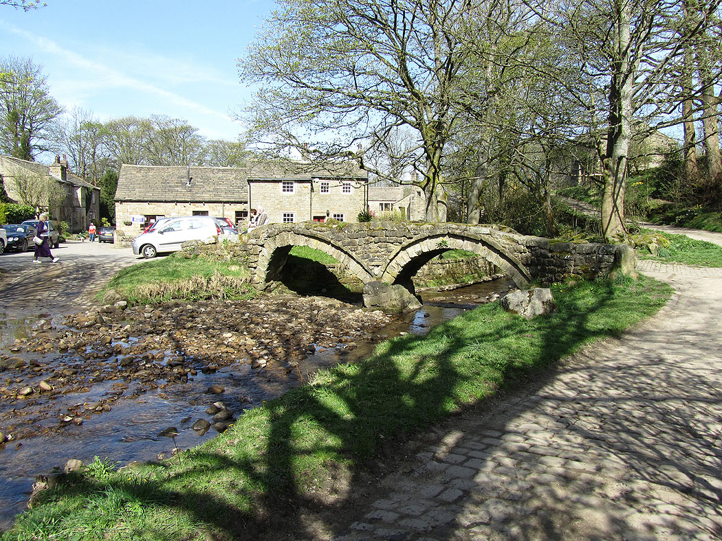
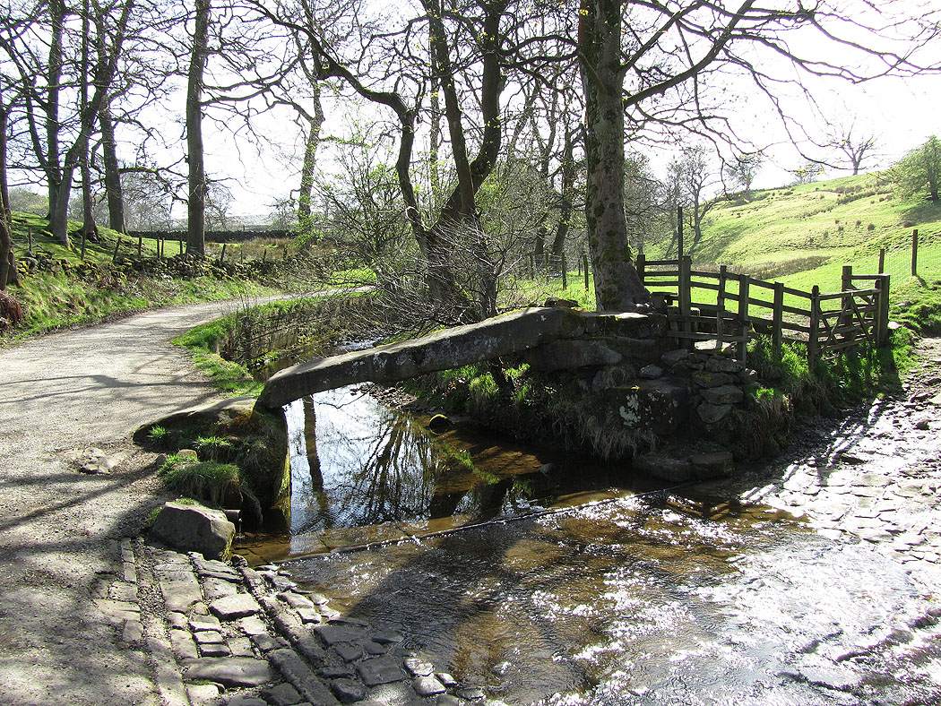
The packhorse bridge over Wycoller Beck
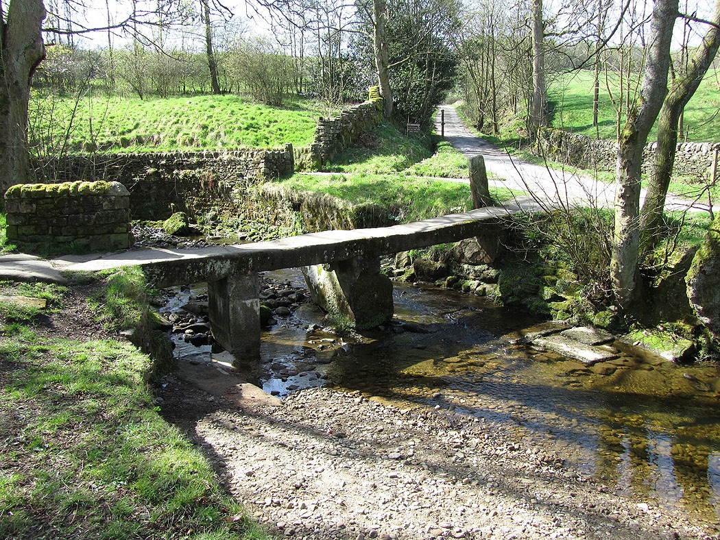
and the clapper bridge
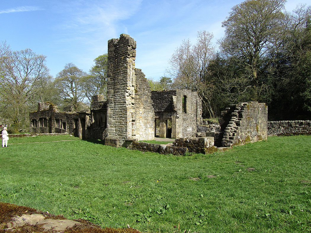
The ruins of Wycoller Hall
The clam bridge
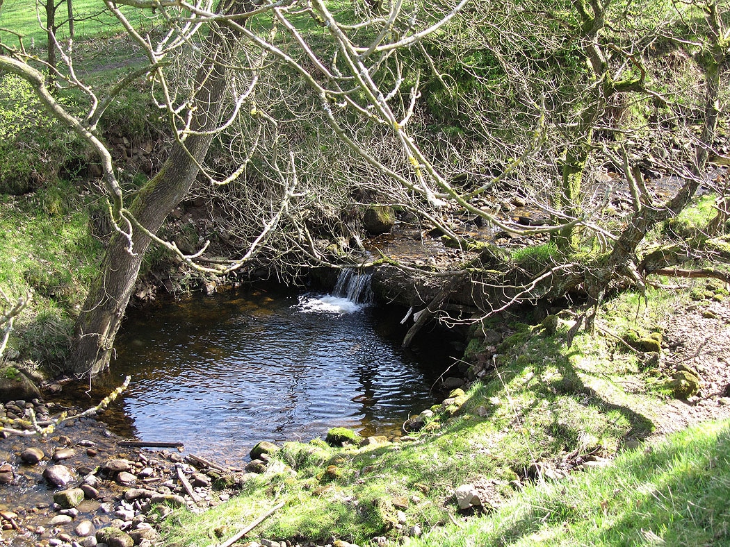
Pool in Turnhole Clough
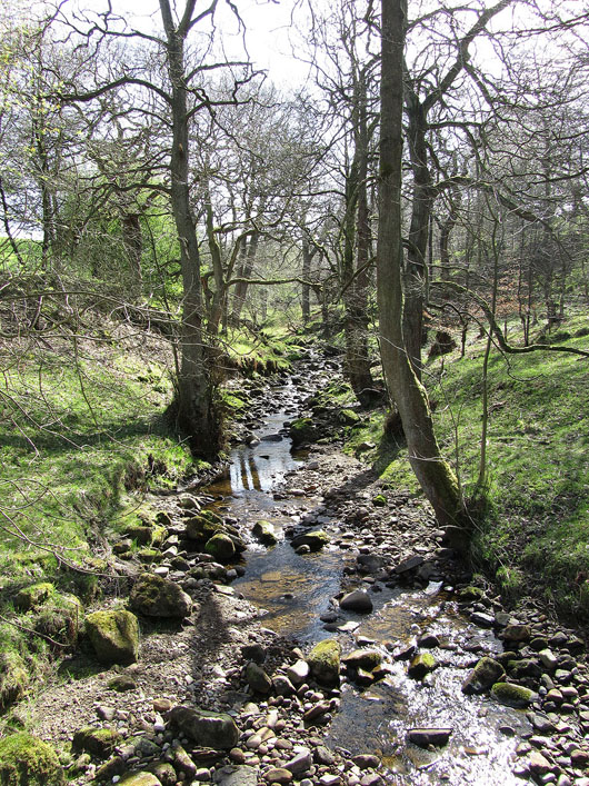
Turnhole Clough
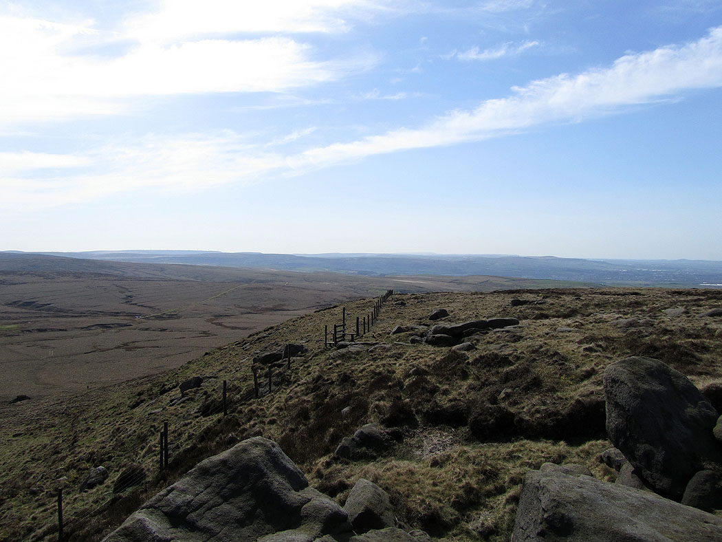
At the top of Turnhole Clough the path joins the Pennine Bridleway. From the bridleway I then made my way uphill to the gritstone outcrops of Great Saucer Stones.
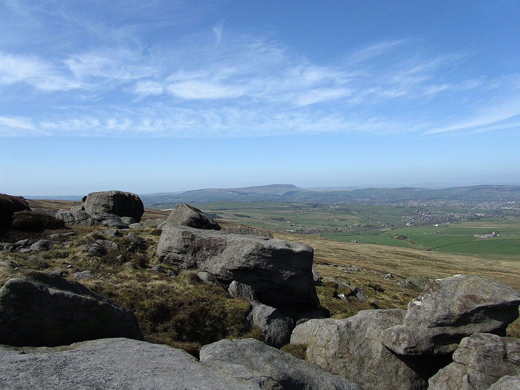
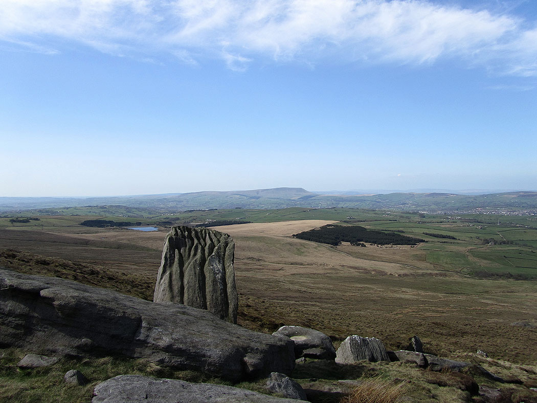
Pendle Hill from Great Saucer Stones
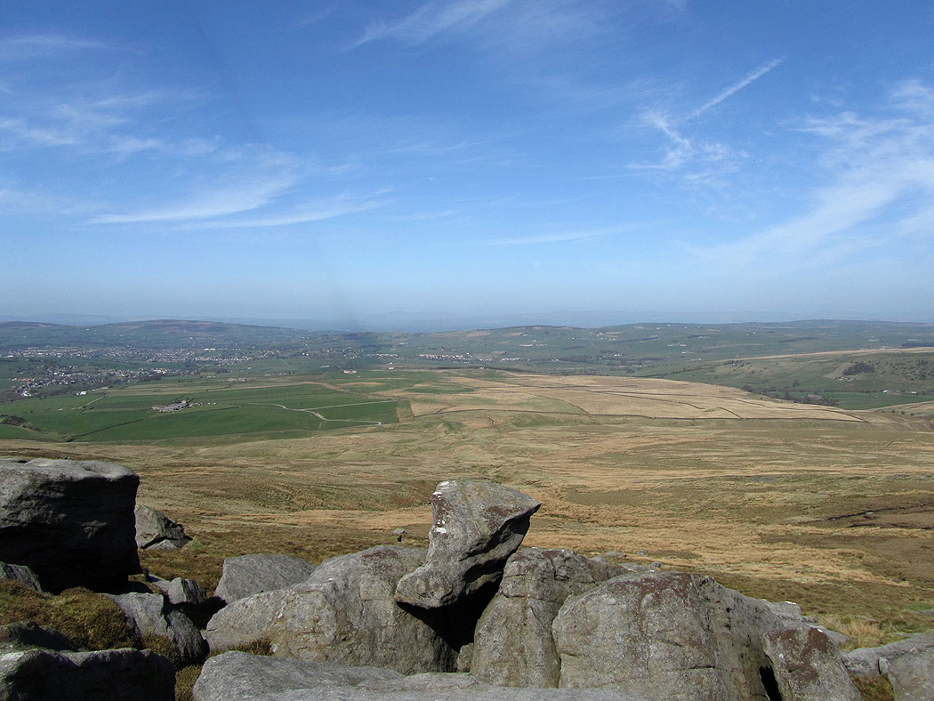
Looking towards the Yorkshire Dales
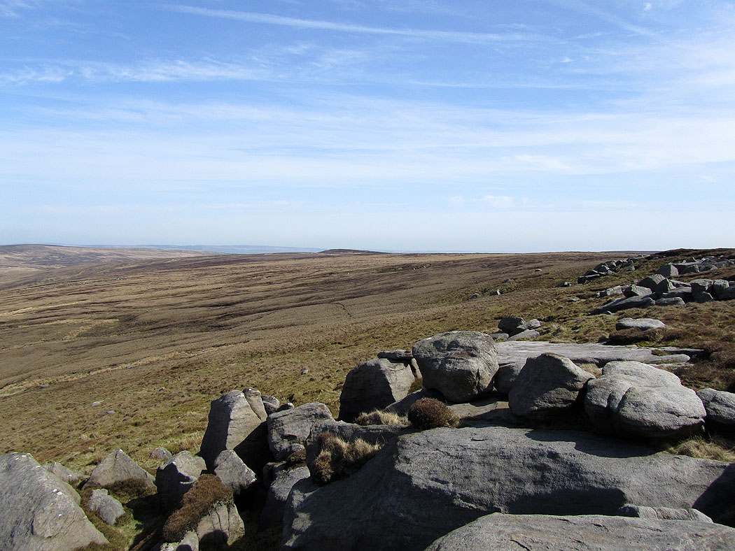
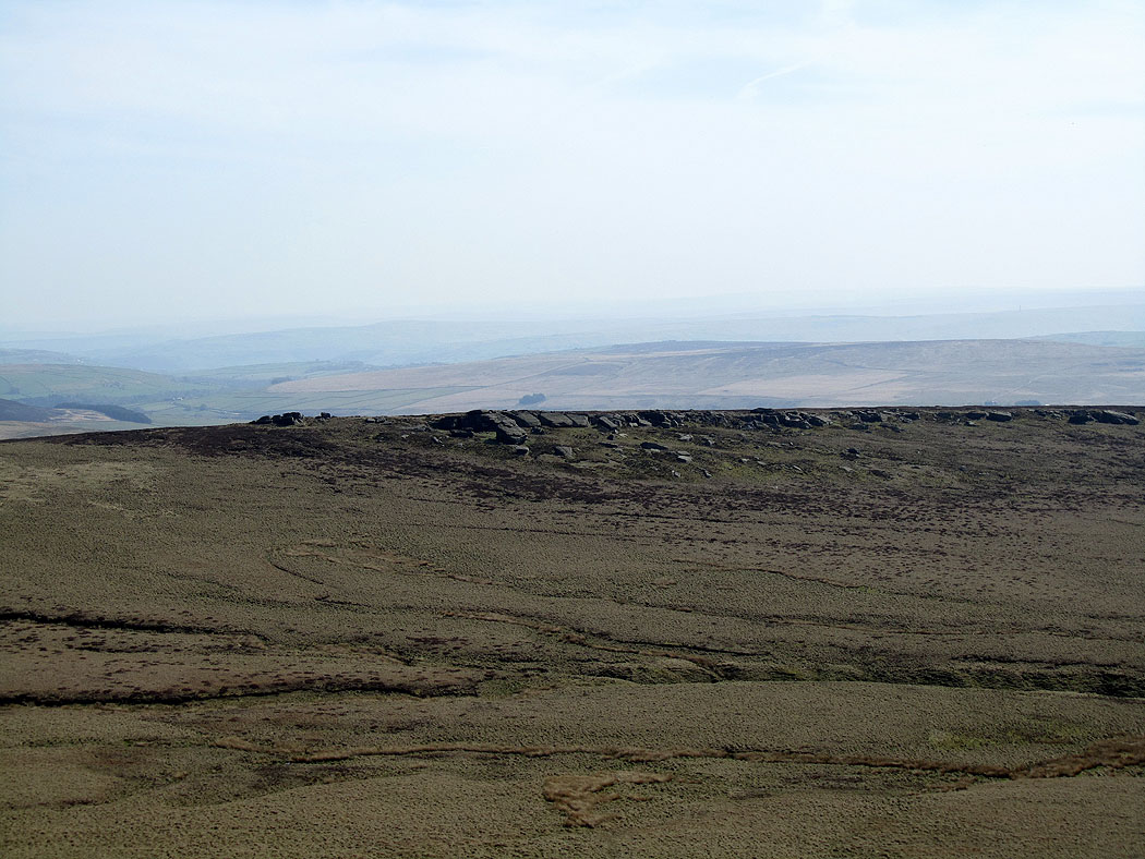
Crow Hill
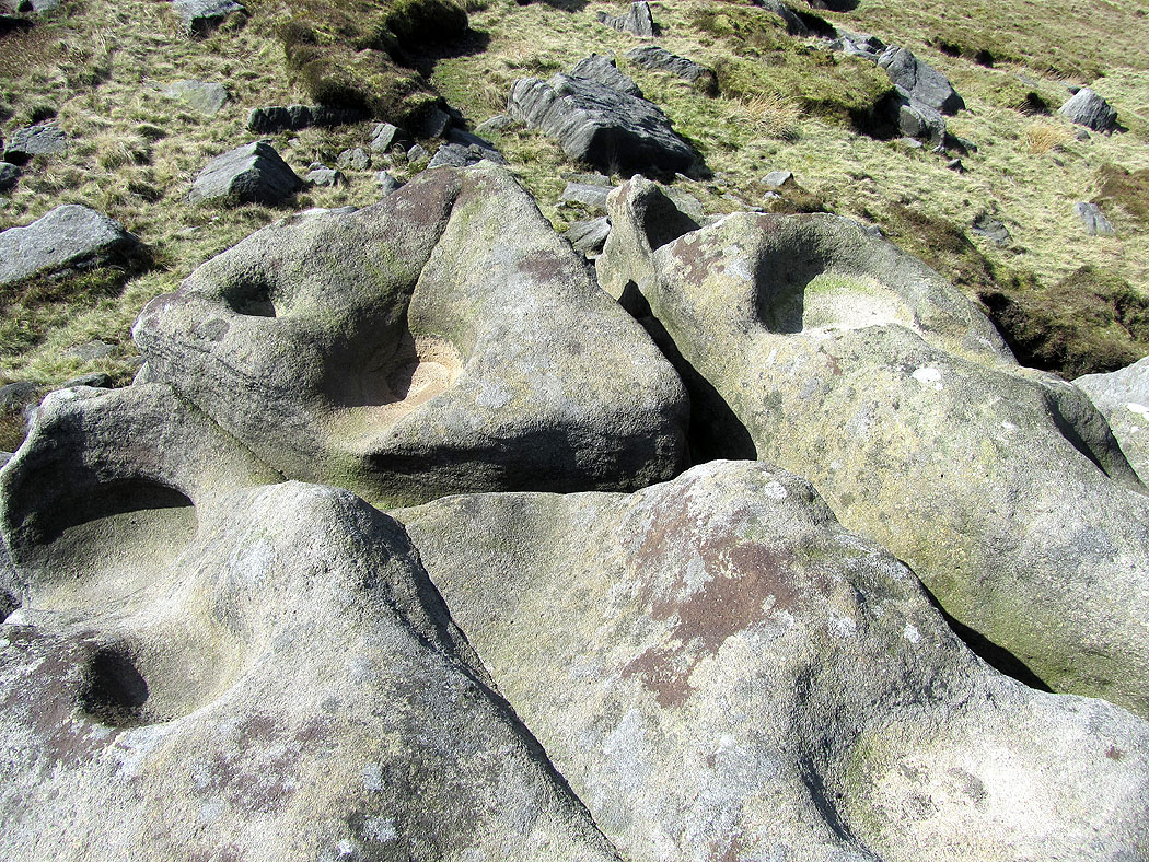
Cup marks
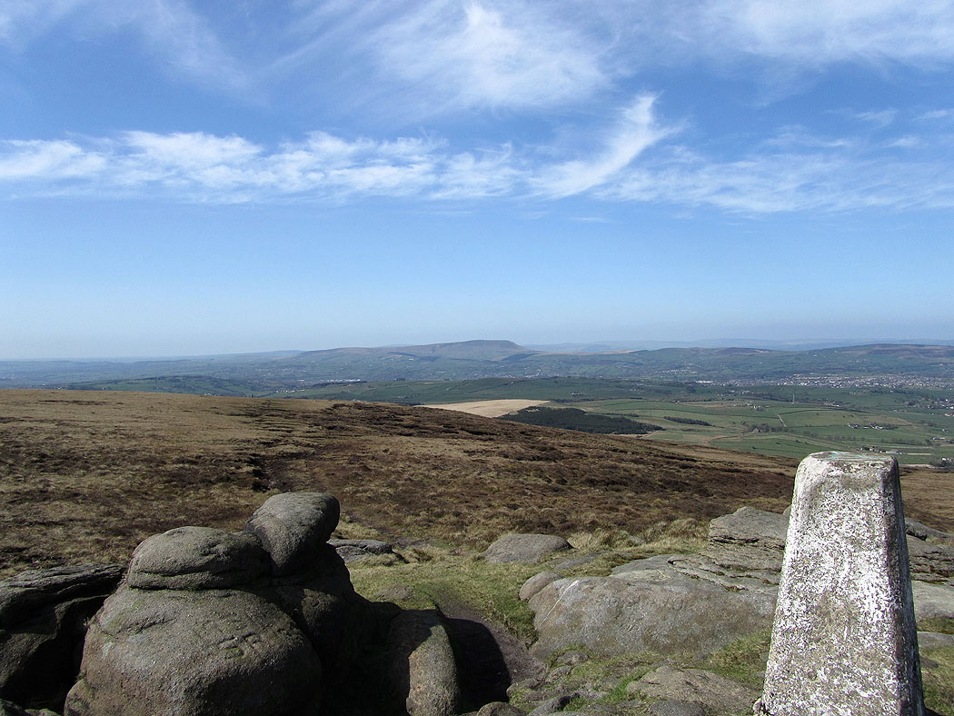
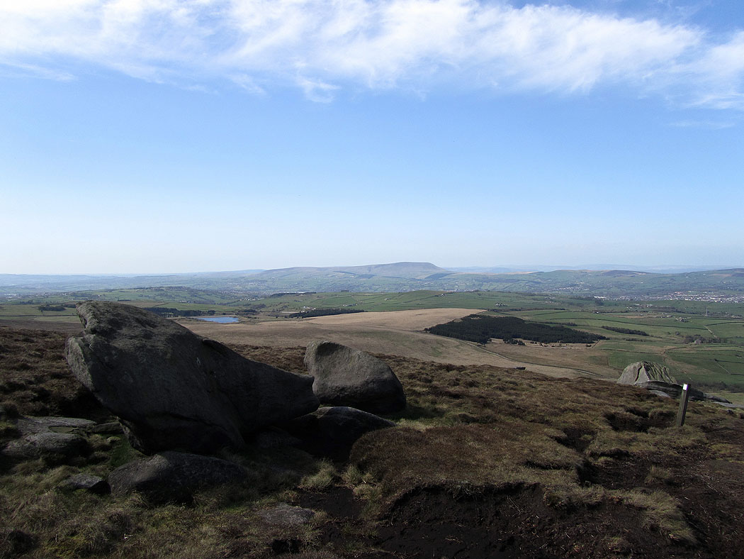
Pendle Hill from Lad Law, the summit of Boulsworth Hill
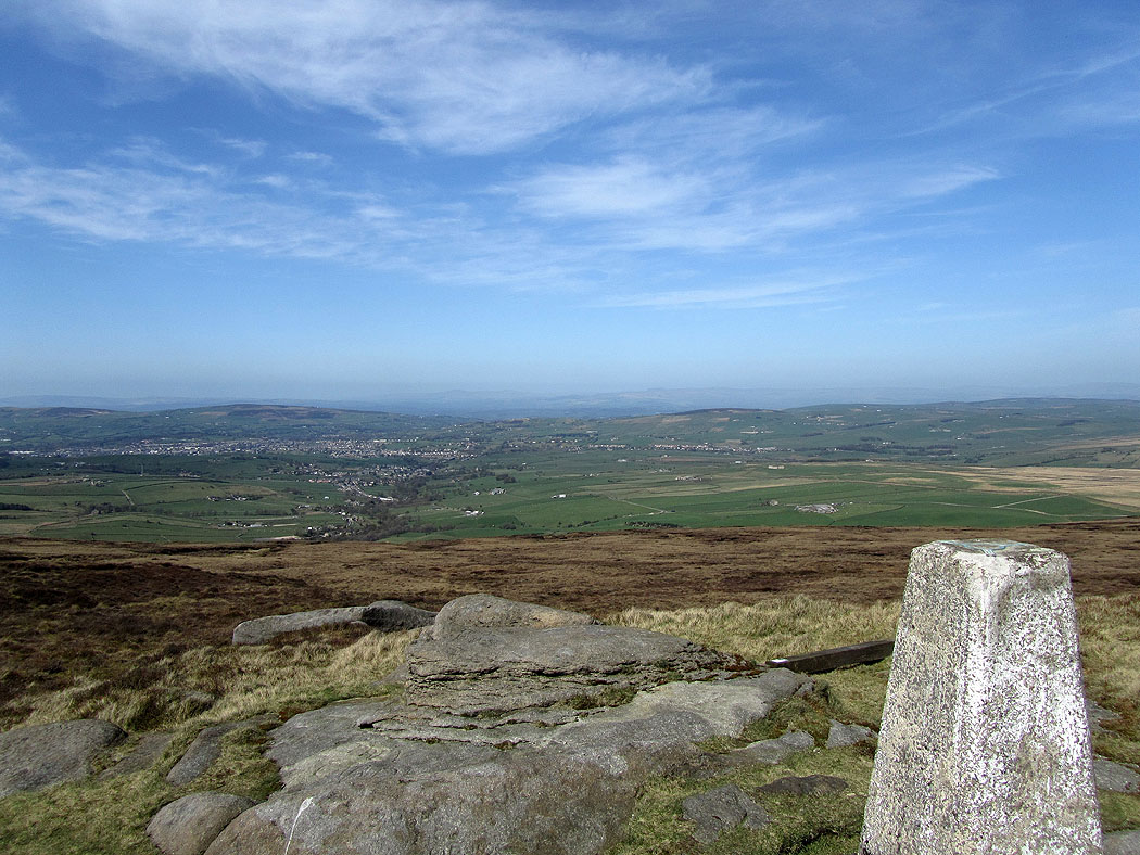
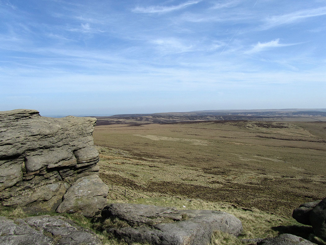
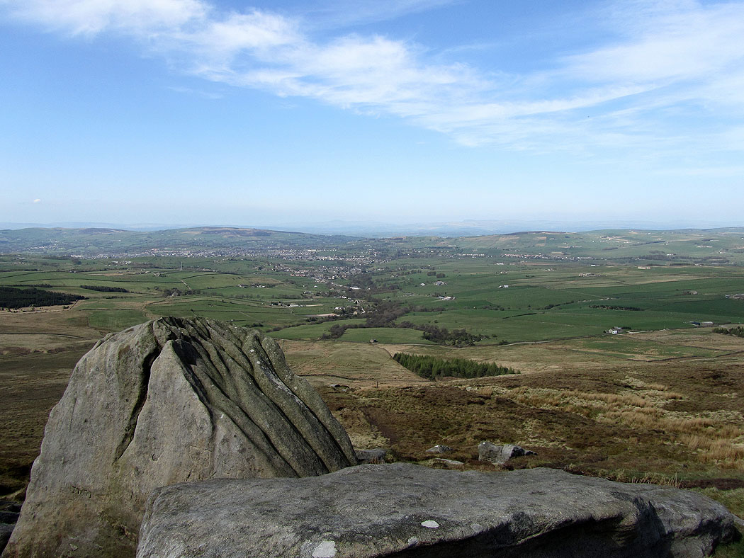
Towards the Yorkshire Dales from Boulsworth Hill
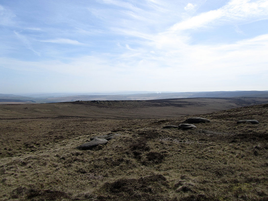
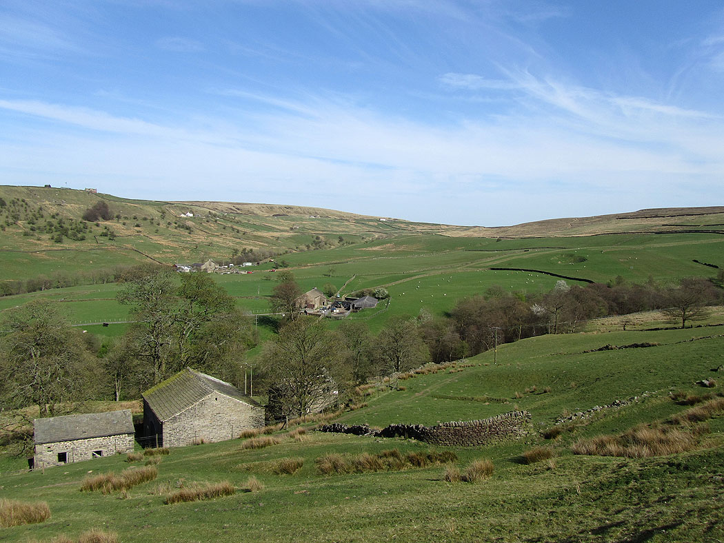
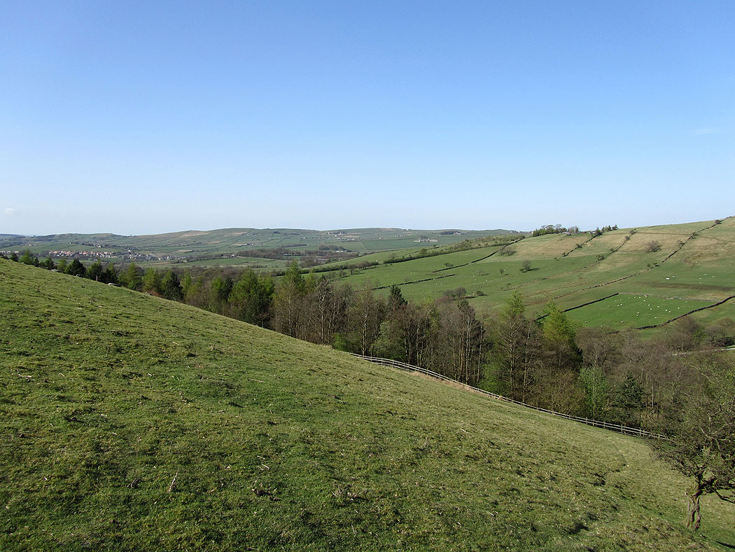
South Pennines views.....
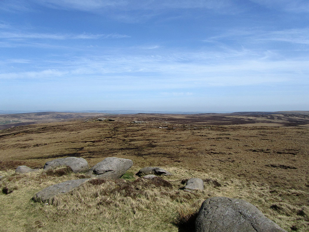
Dove Stones
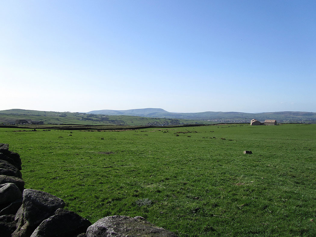
Pendle Hill on the way down..
My route took me downhill then along paths through the fields on the right of the picture back to Wycoller
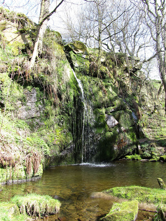
Lumb Spout. In a wooded glade a short distance from the path.
Pendle Hill
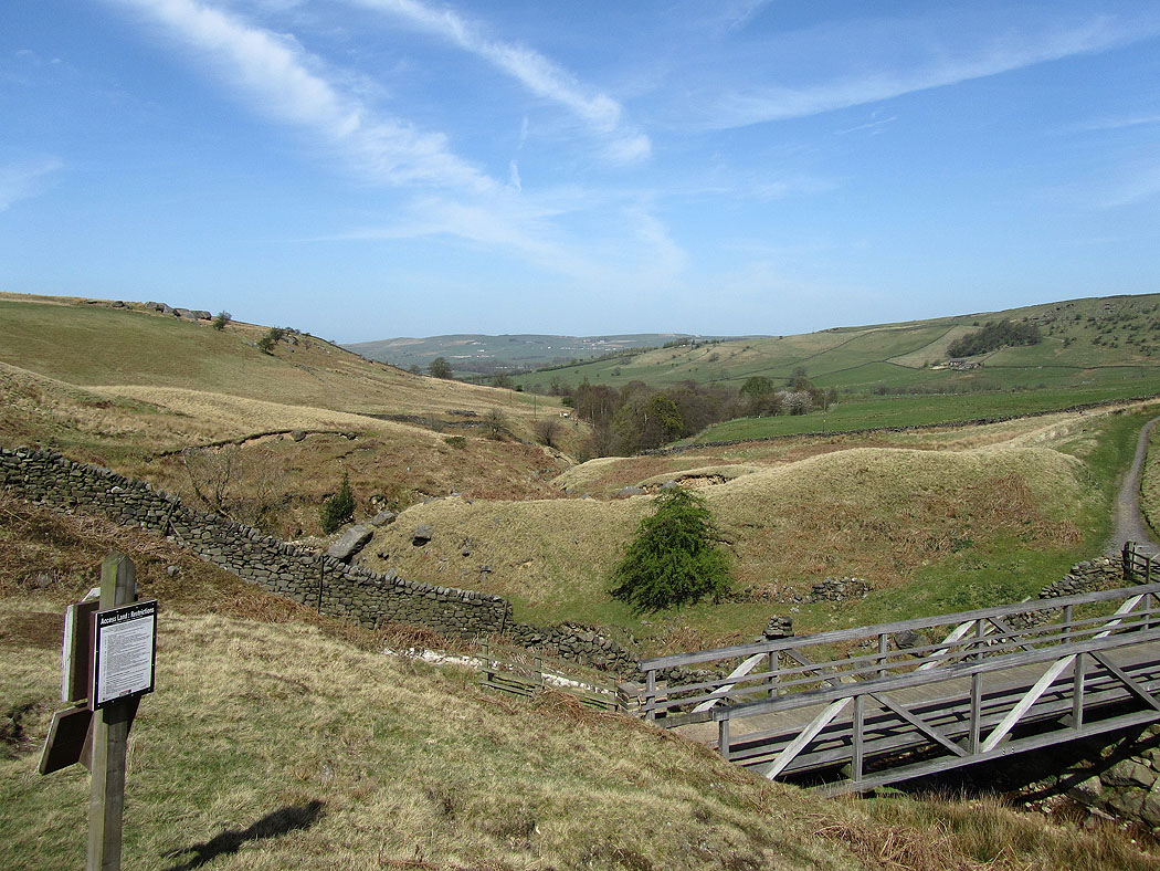
Back down to the valley of Wycoller Beck..
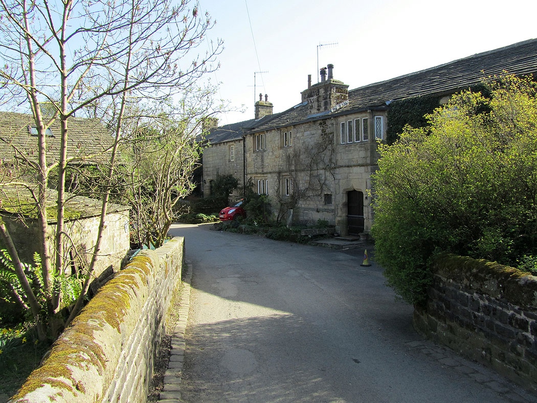
Back in Wycoller