10th April 2014 - Gowbarrow Fell
Walk Details
Distance walked: 3.9 miles
Total ascent: 1279 ft
OS map used: OL5 - The English Lakes, Northeastern area
Time taken: 3 hrs
Route description: Aira Force car park-Gowbarrow Fell-path round east side of fell-Aira Force-Aira Force car park
My last day in the Lakes and I've checked out of the Boot Inn. Unfortunately the weather in Eskdale isn't good with low cloud and rain. Before heading home I drove round to Ullswater in hope of finding better weather and I found it for this walk up Gowbarrow Fell and to visit Aira Force.
From the NT Aira Force car park I took the path above Aira Force, onto Gowbarrow Fell and to the summit. To get back I went down the other side of the trig point and round to pick up the path that traverses the eastern side of the fell. I paid Aira Force a visit before returning to the car park.
Route map
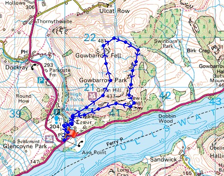
© Crown copyright. All rights reserved. License number PU 100034184.
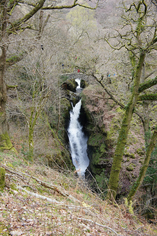
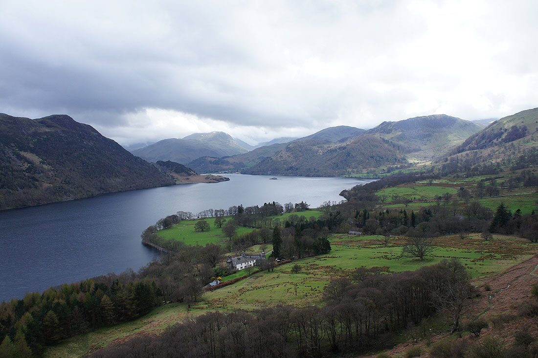
I'll be visiting Aira Force on my way back but I couldn't resist taking a picture before I head up Gowbarrow Fell
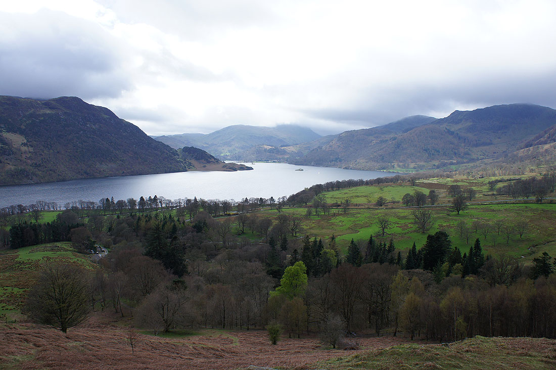
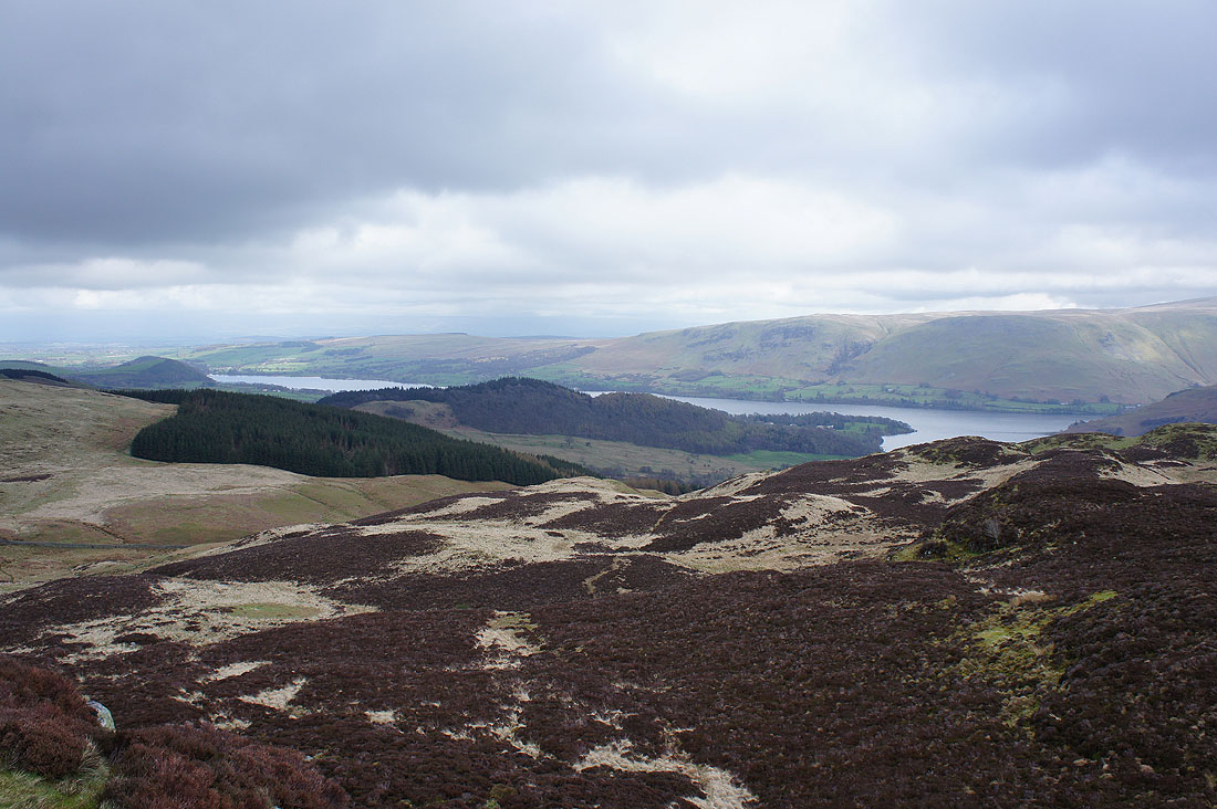
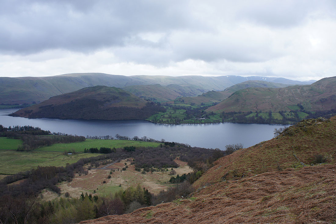
Improving views of Ullswater to be had on the way up
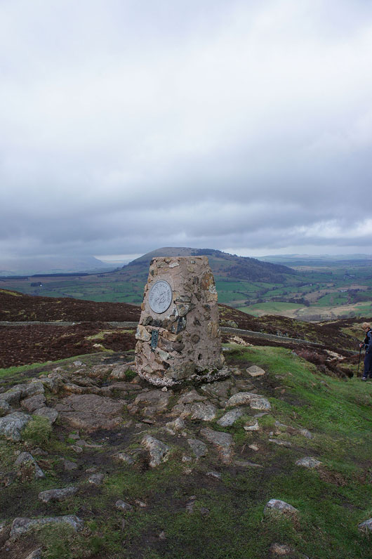
By the trig point that marks the summit of Gowbarrow Fell. Great Mell Fell in the background.
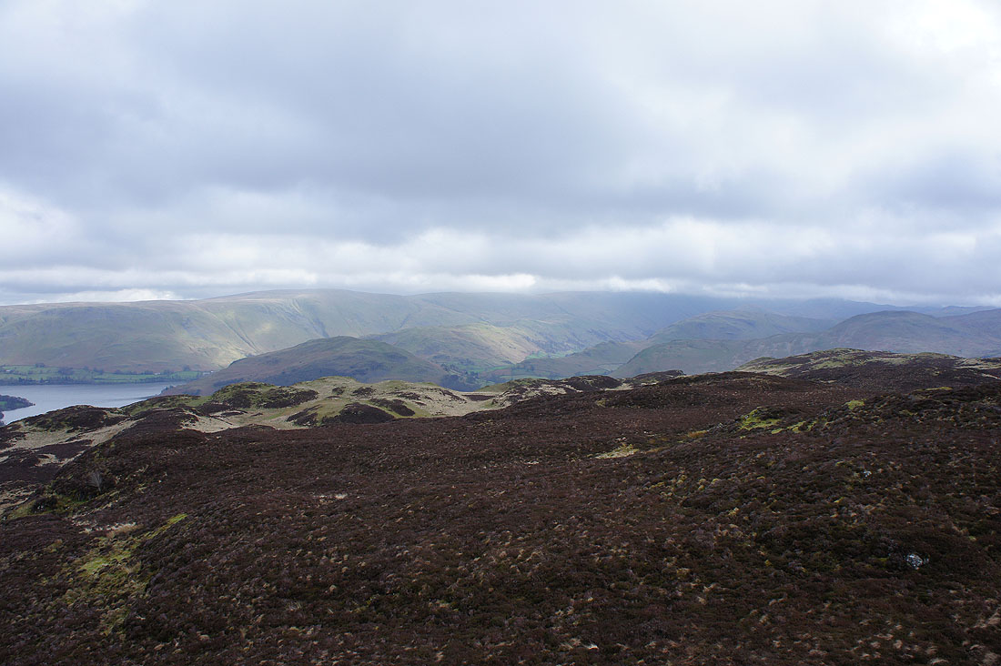
The top of Loadpot Hill is below the cloud but the higher far eastern fells aren't
Birkhouse Moor and Sheffield Pike to the southwest
Arthur's Pike and Bonscale Pike to the right on the other side of Ullswater
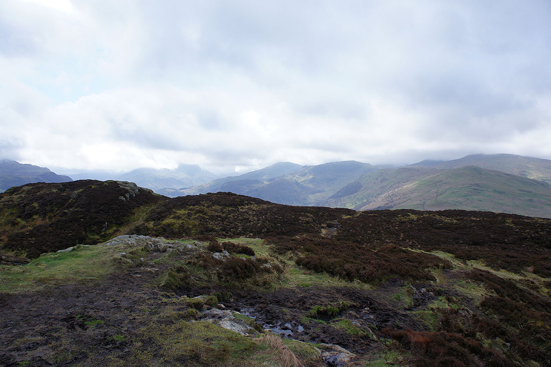
Heading down and at the wall corner I'll turn right and take the path around the side of the fell
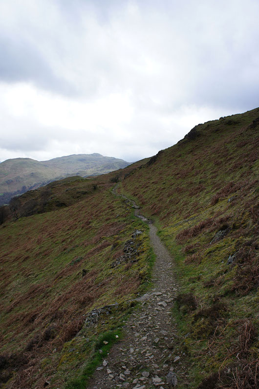
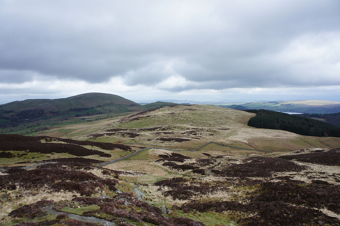
Heading around the side of Gowbarrow Fell
Looking across Ullswater to Hallin Fell and Sandwick
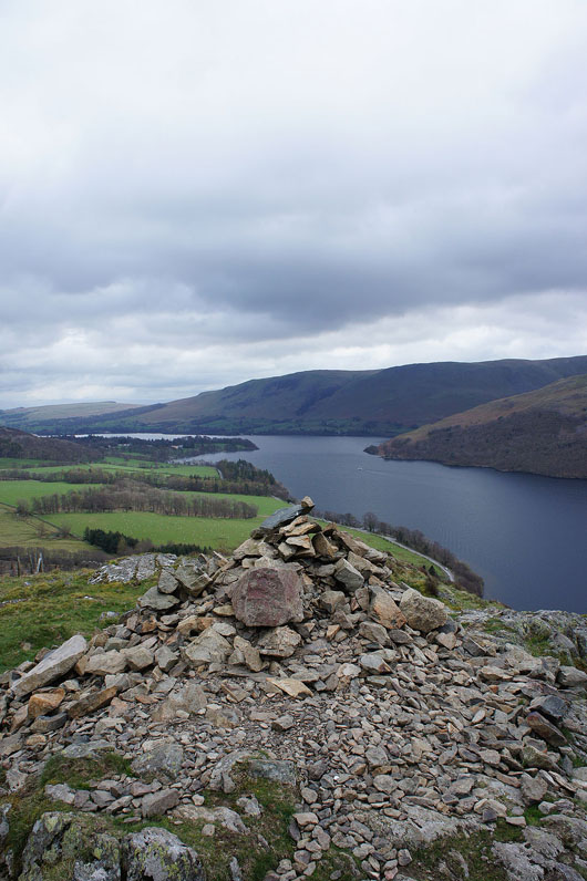
By the cairn above Yew Crag
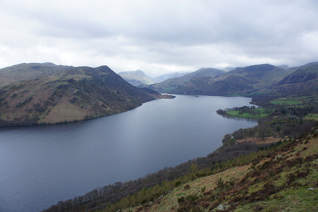
A great view towards the head of Ullswater. Place Fell, Birkhouse Moor and Sheffield Pike.
and again but this time just before the descent back down to Aira Force. St. Sunday Crag, Birkhouse Moor and Sheffield Pike.
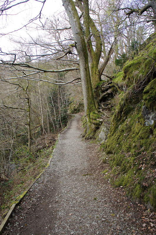
On the path to Aira Force
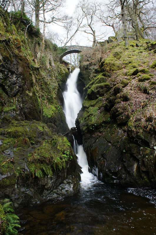
Finishing the day by Aira Force