10th April 2015 - Anglezarke Moor
Walk Details
Distance walked: 9.0 miles
Total ascent: 1438 ft
OS map used: 287 - West Pennine Moors
Time taken: 6 hrs
Route description: White Coppice-Drinkwaters-Great Hill-Spitlers Edge-Hordern Pasture-Lower Hempshaw's-Lead Mines Clough-Alance Bridge-Yarrow Reservoir-Anglezarke Reservoir-White Coppice
A last fine day before the weather changes for the weekend. It was a day of hazy sunny spells rather than clear blue skies though it still felt pleasantly warm for the time of year. This walk was a real blast from the past. It's one of the first I did when I started hill-walking more than ten years ago. I have walked the moorland stretch south from Great Hill a couple of times more recently but I started those walks from the Belmont Road side. There were certain bits, the track dropping down into Lead Mines Clough and walking by Anglezarke Reservoir that I could recall quite vividly.
From the hamlet of White Coppice I made my way past the cricket club, over the catchwater drain of The Goit and up the path to Great Hill. Once on Great Hill I took the flagged path south across Spitlers Edge and over Hordern Pasture. On the way down I turned right onto the path to the ruins at Lower Hempshaw's. I didn't stay on the public footpath when I reached Lower Hempshaw's however, the track that winds its way across the hillside from here and down to Lead Mines Clough is much easier to follow. After exploring Lead Mines Clough I made my way down the bridleway to Yarrow Reservoir at Alance Bridge. I then had a walk by Anglezarke Reservoir and High Bullough Reservoir to reach Moor Road, after crossing the road a short walk over a hillside brought me back to White Coppice.
Route map
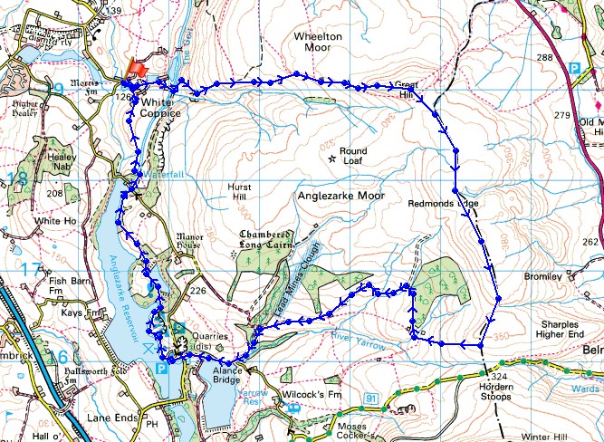
© Crown copyright. All rights reserved. License number PU 100034184.
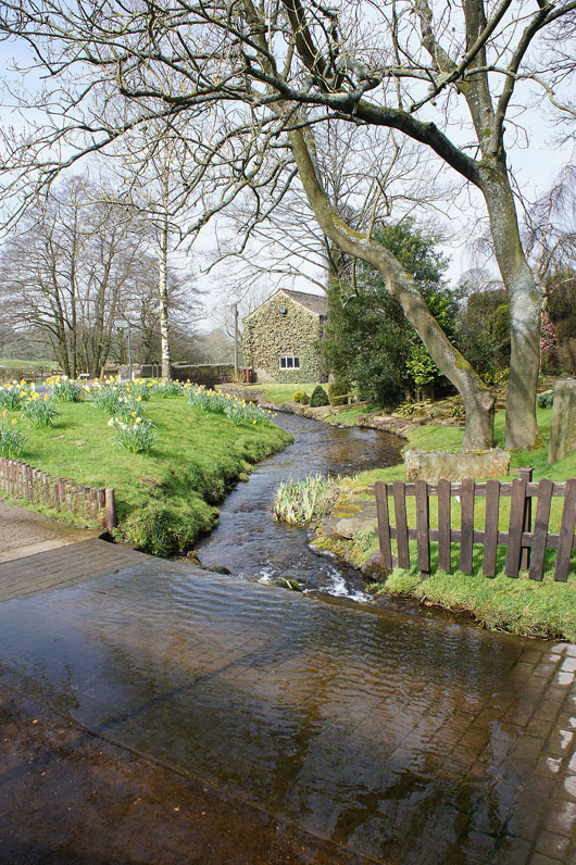
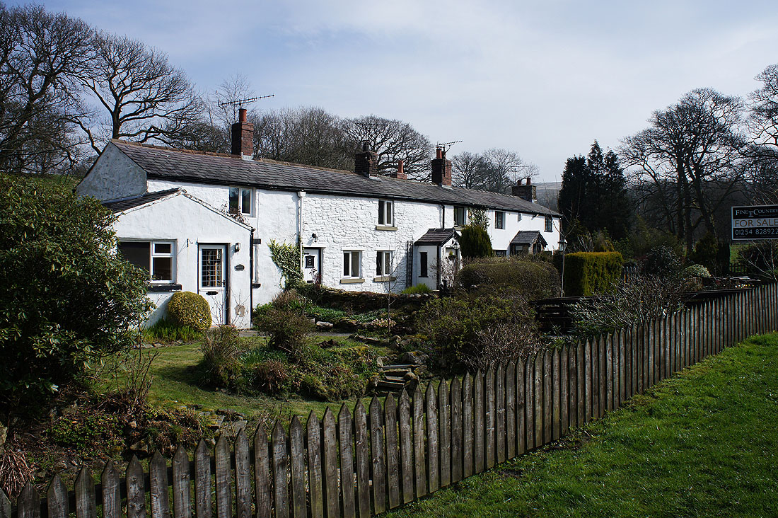
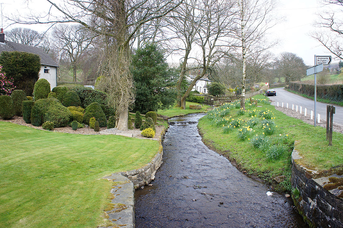
It's a lovely morning in the hamlet of White Coppice...
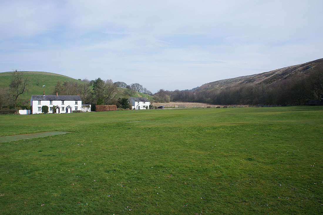
The picturesque ground of White Coppice cricket club. No play today.
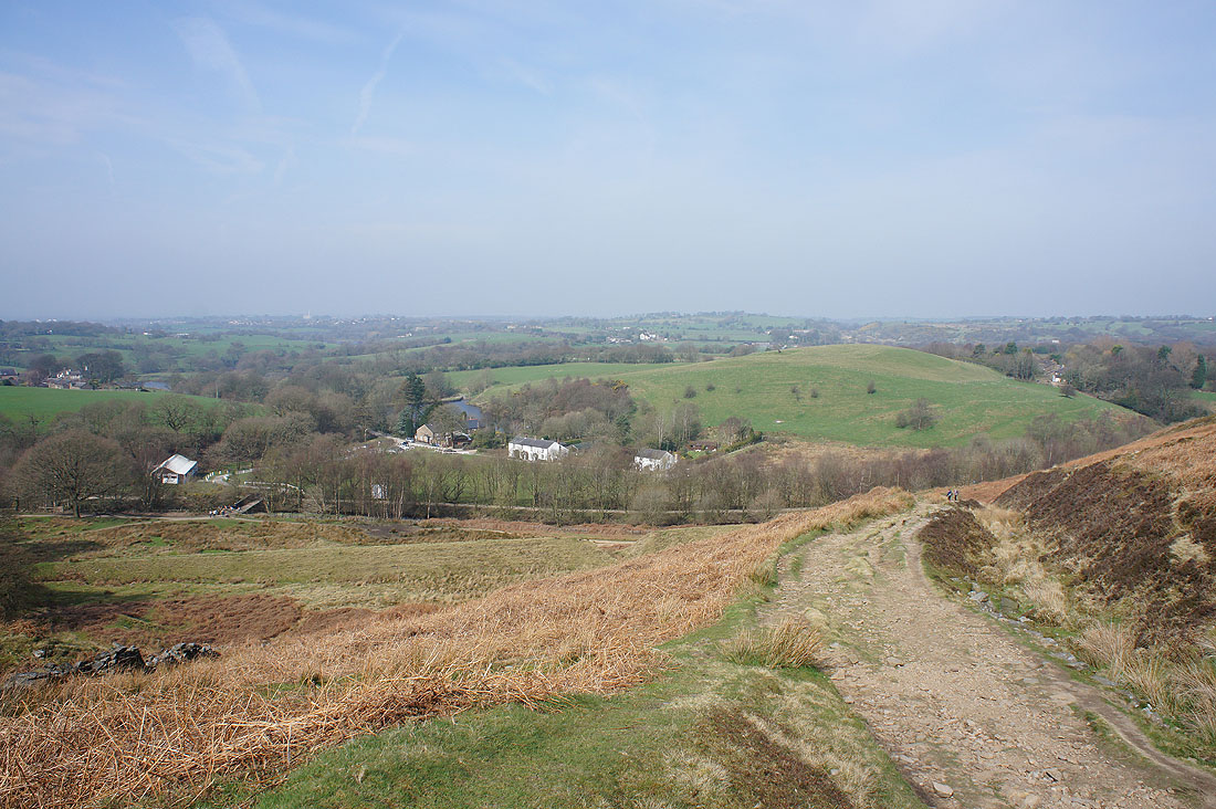
Looking back down on White Coppice..
..as I take the path up Great Hill
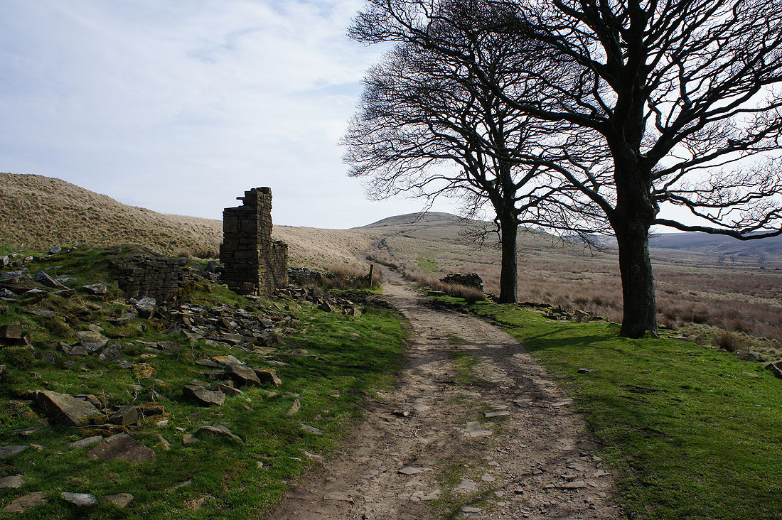
Passing through the ruins of Drinkwaters
A last look back before I reach the summit
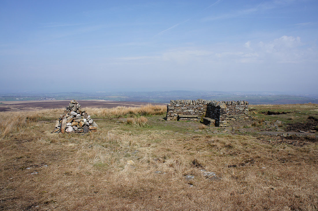
The summit of Great Hill with its shelter. The obvious place to stop and have my lunch.
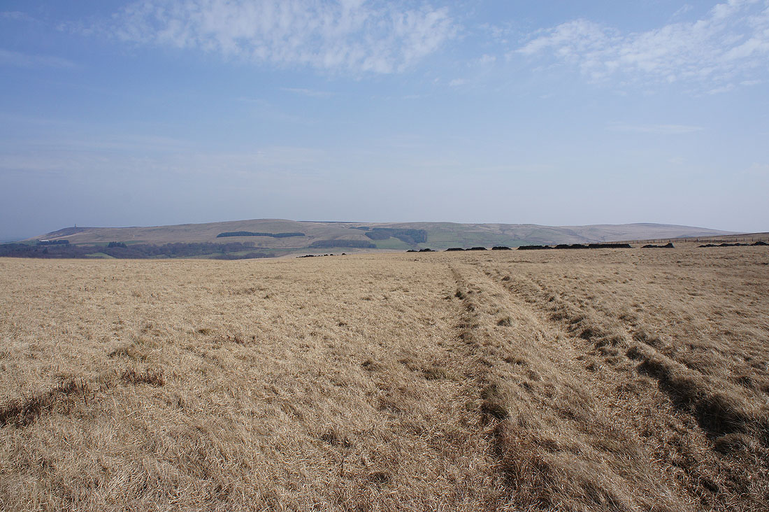
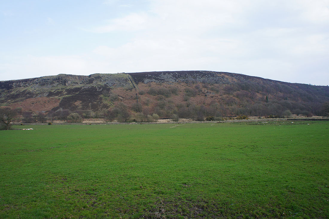
Wheelton Moor
and Withnell Moor
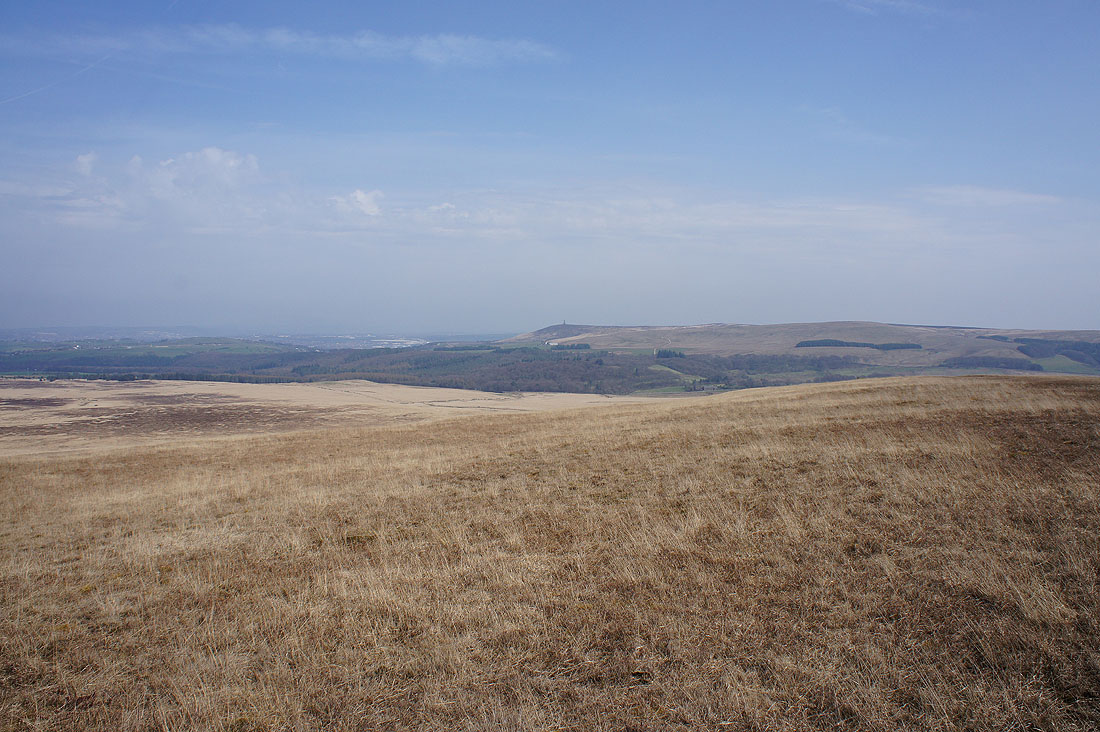
Darwen Moor and Jubilee Tower
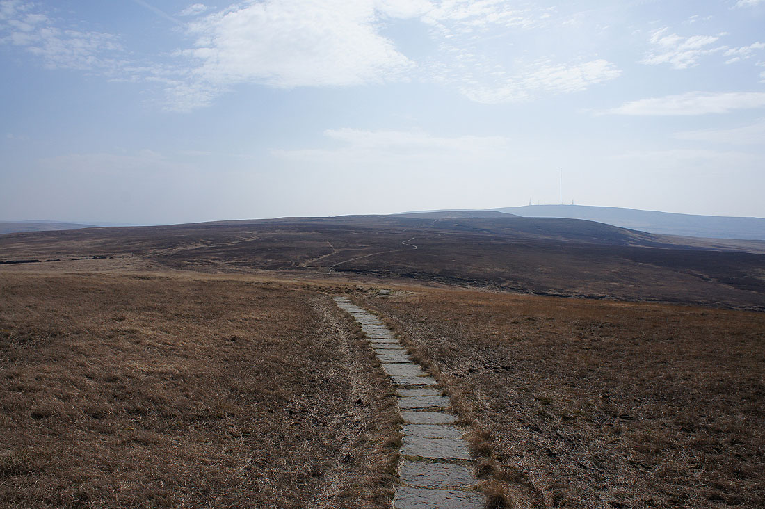
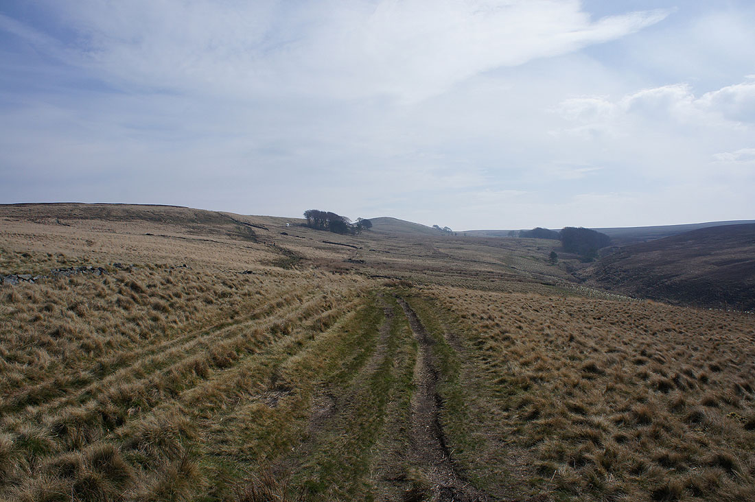
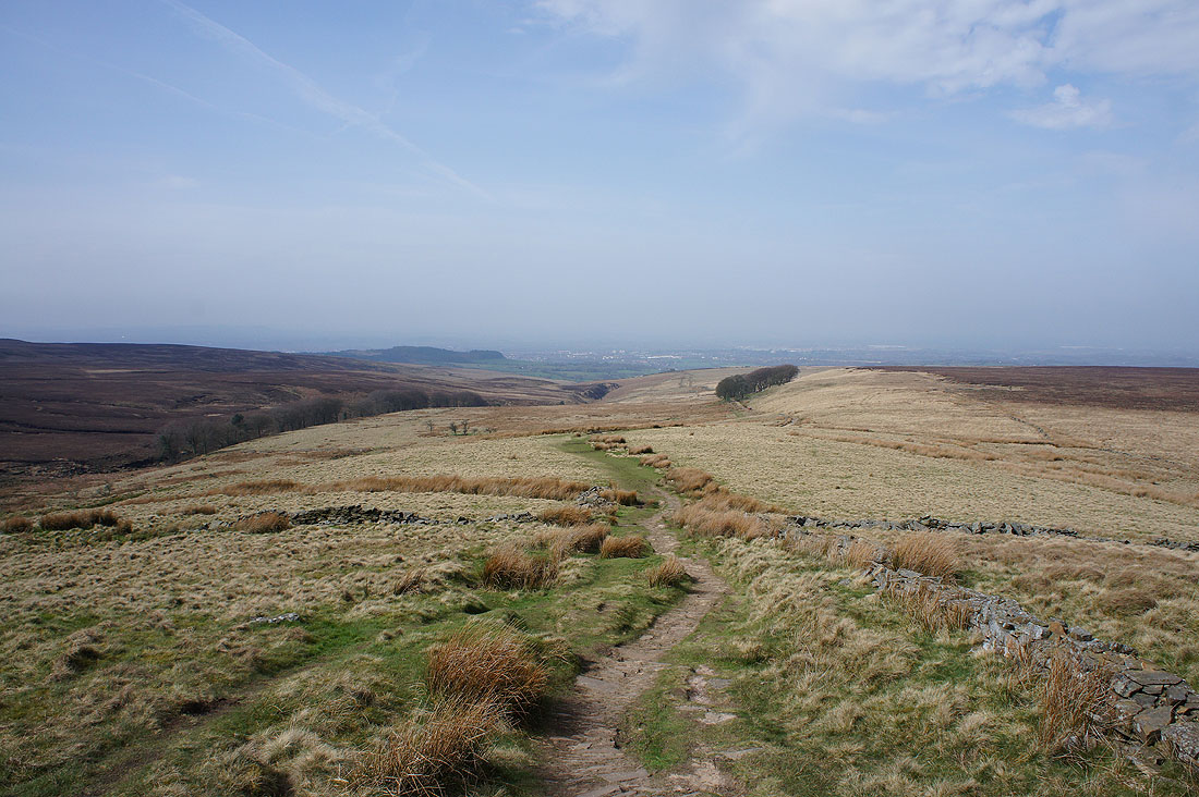
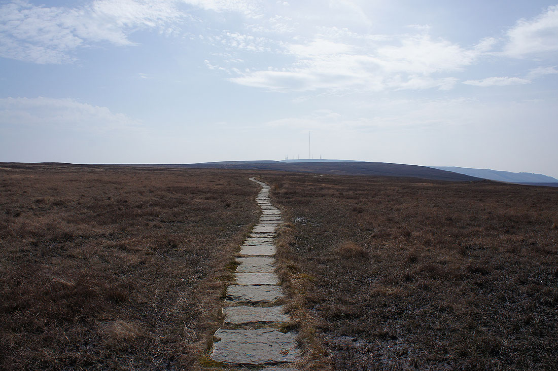
The flagged path to Spitlers Edge snakes into the distance
Darwen Moor and Longworth Moor
Easy going
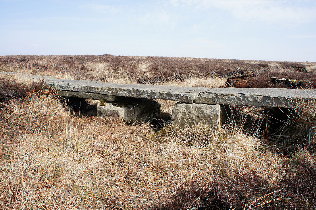
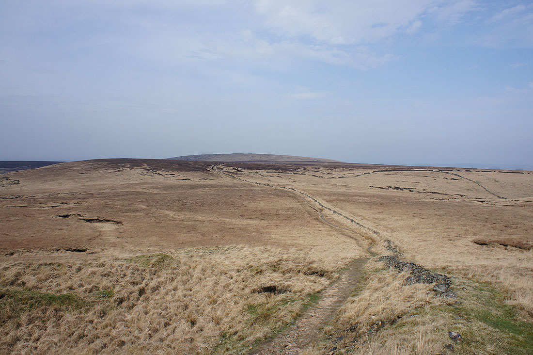
Great Hill as I reach the top of Spitlers Edge
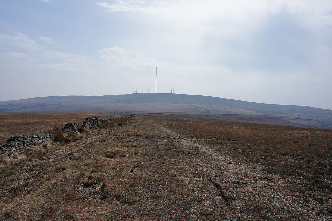
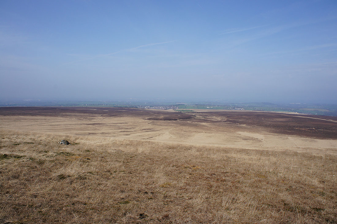
Winter Hill looms large as I head down to Hordern Pasture
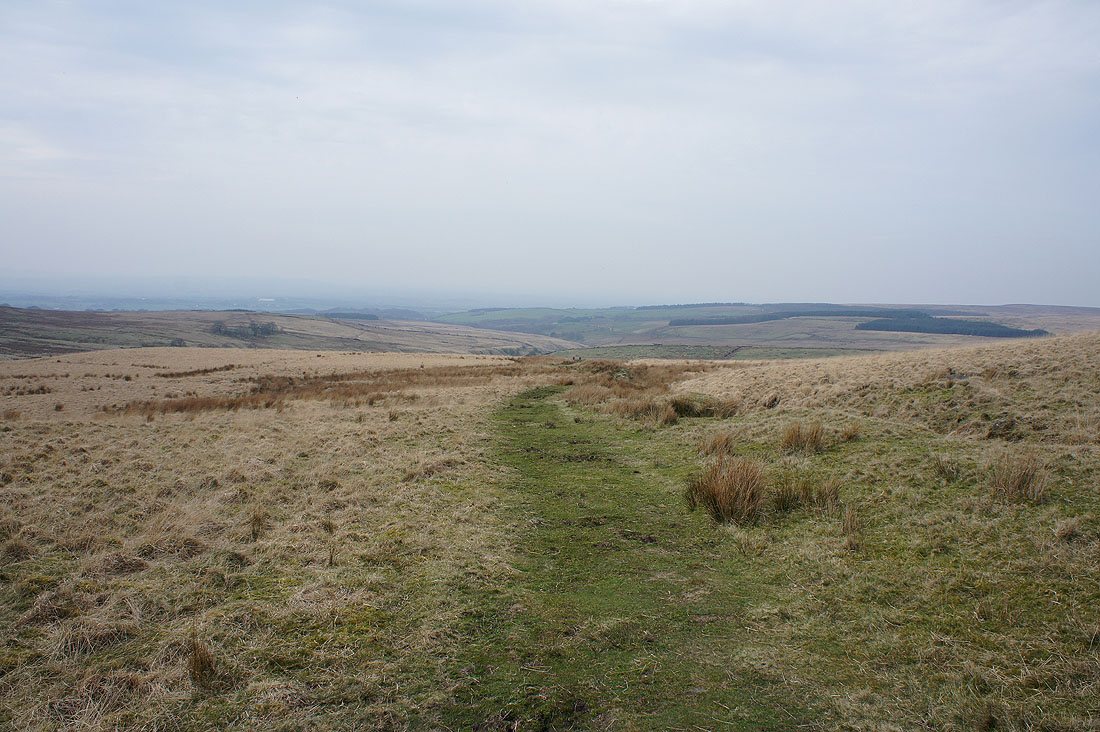
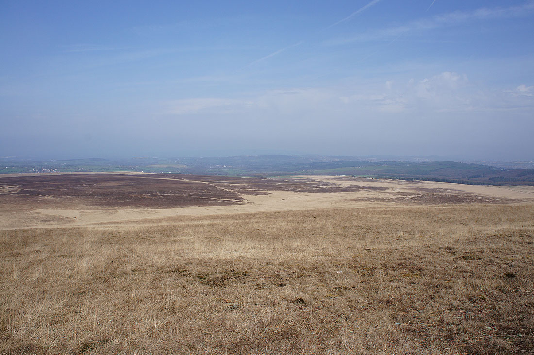
A path then heads west from Hordern Pasture above the infant River Yarrow
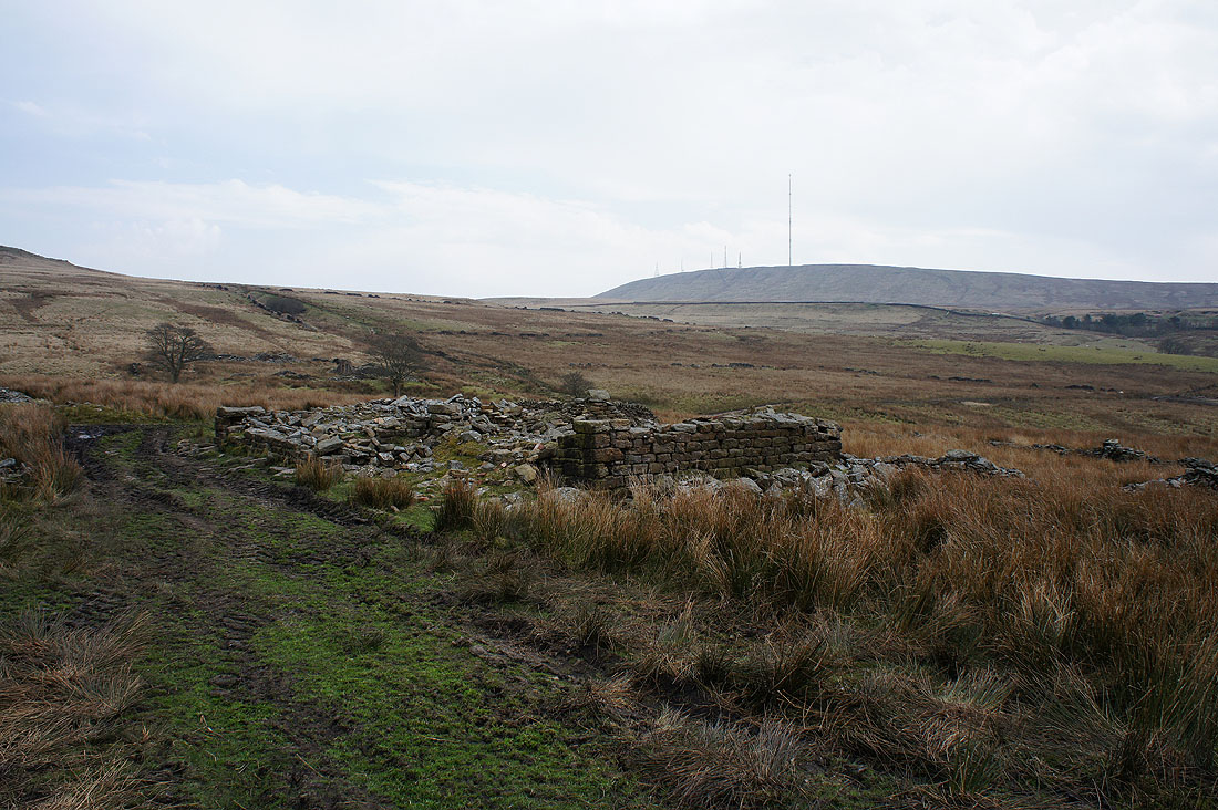
The ruins of Lower Hempshaw's
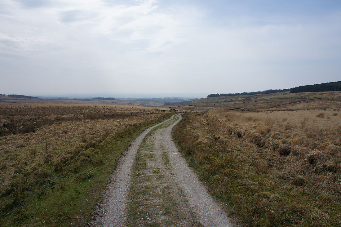
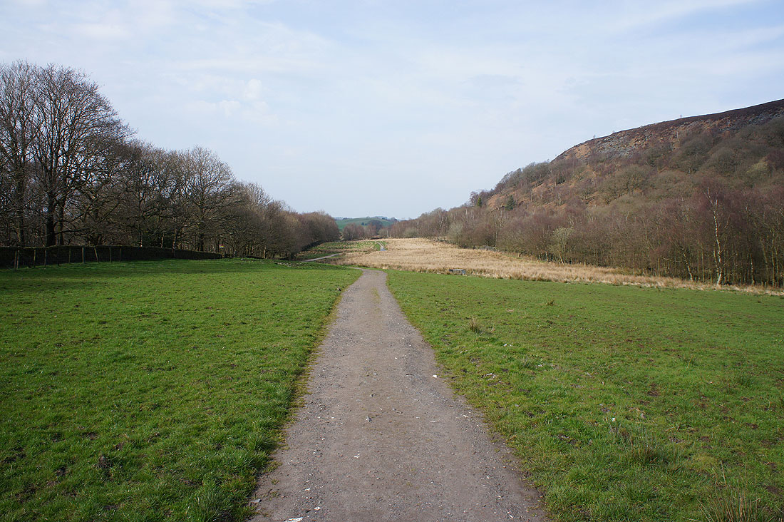
A clear track will take me to Lead Mines Clough
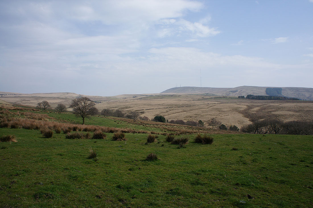
Views of Winter Hill to my left
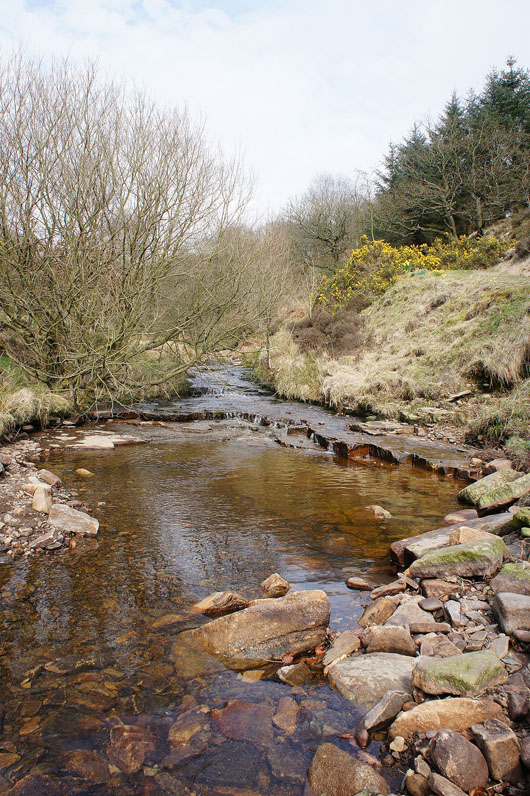
Limestone Brook as the track reaches Lead Mines Clough. A path follows it upstream for a while but I decided to keep going in the stream bed. There are waterfalls on the map, I want to see if what they're like.
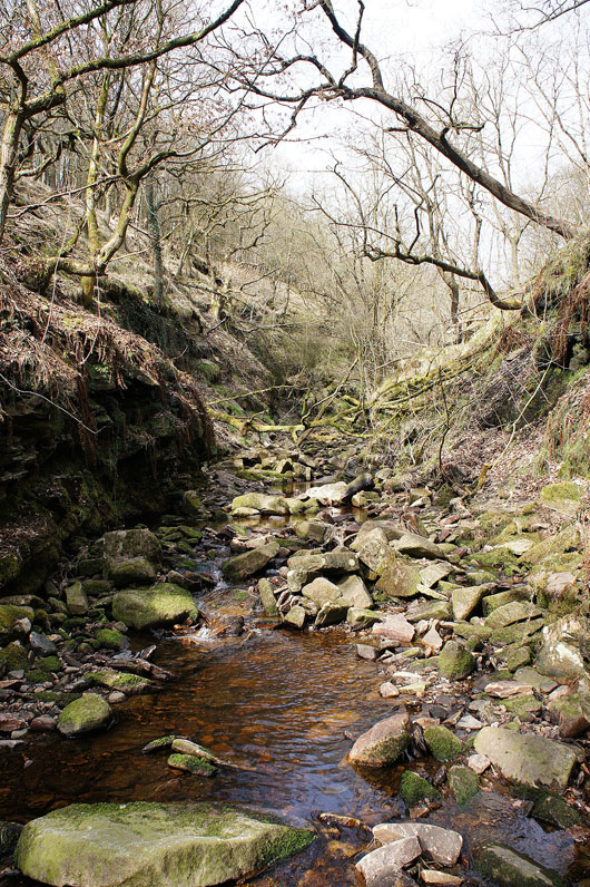
I wouldn't want to do this if it had rained a lot recently
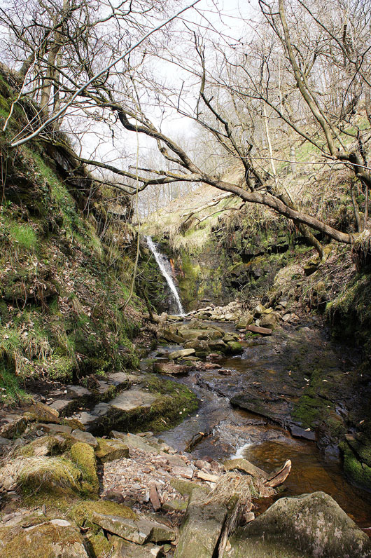
That looks nice. I'll try and get closer.
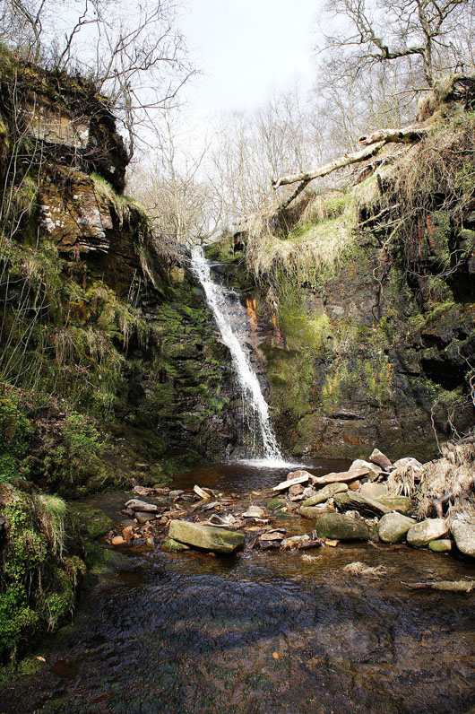
This lovely little waterfall was definitely worth the effort
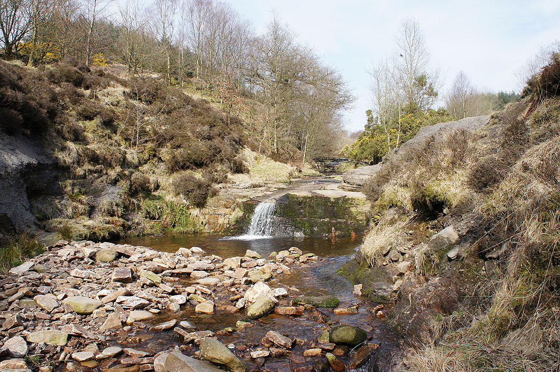
Back on the track down to Anglezarke Reservoir and there's another little fall next to it
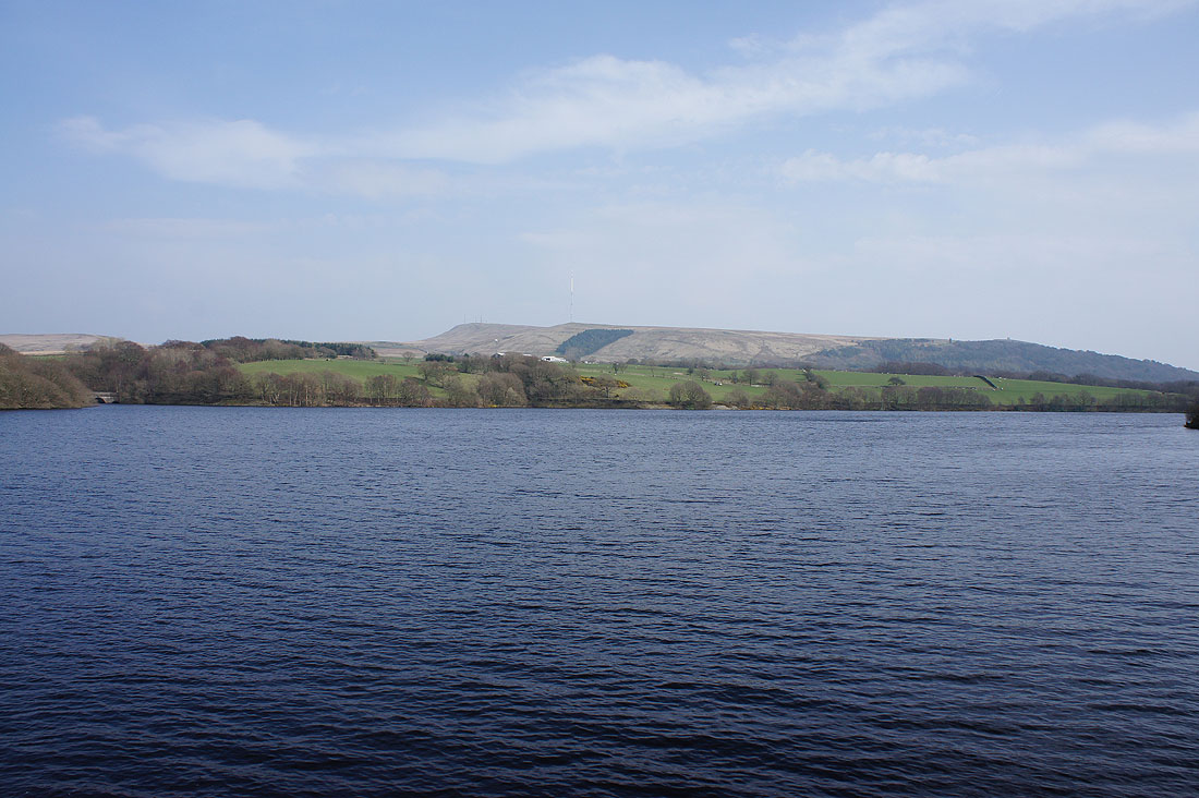
Winter Hill across Yarrow Reservoir
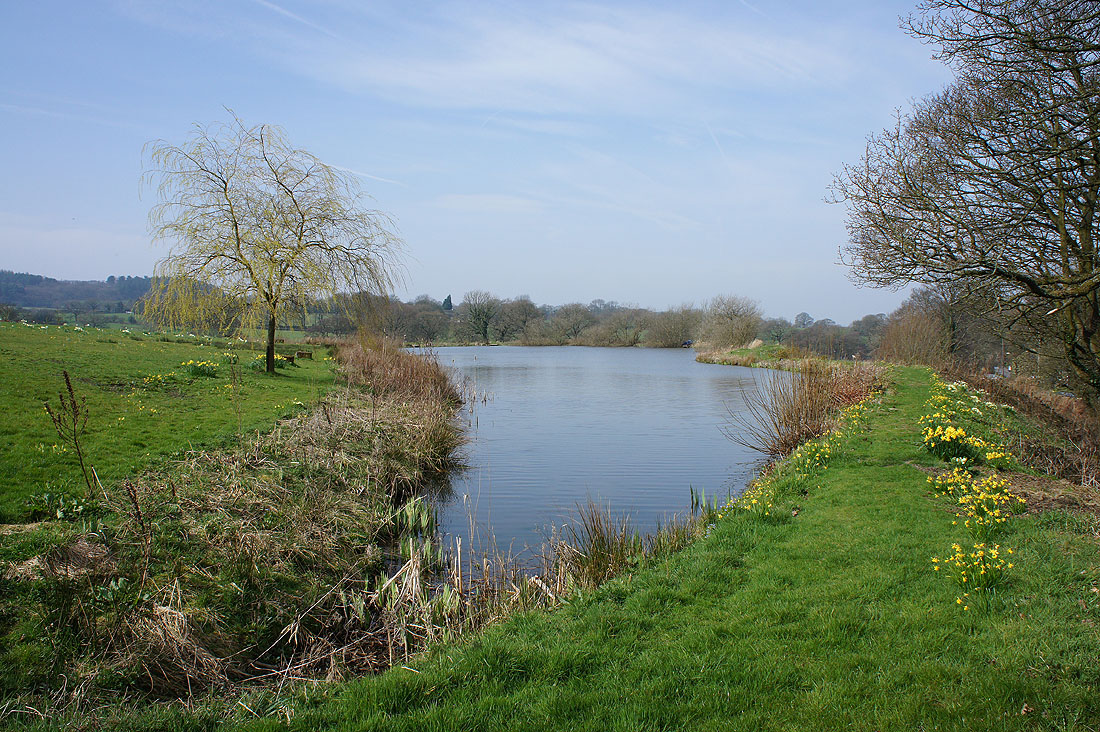
By Anglezarke Reservoir
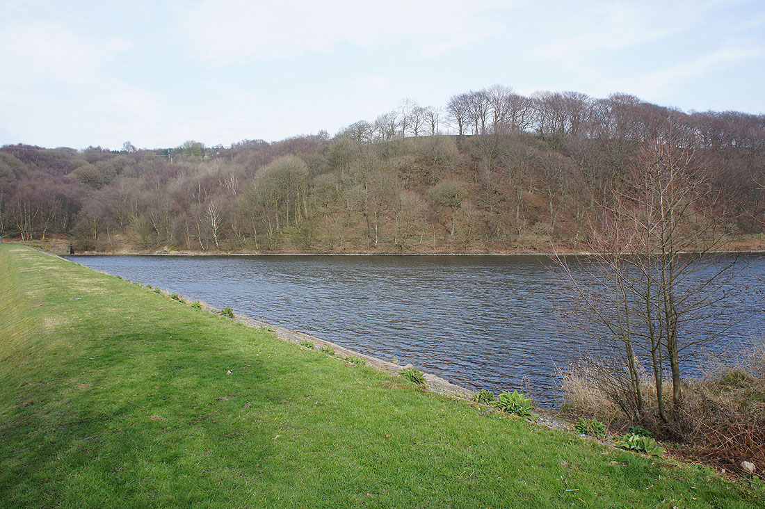
and High Bullough Reservoir
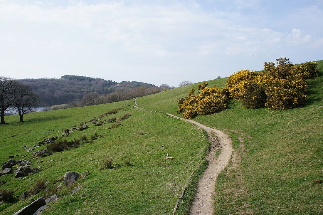
The path then crosses open ground with nice views..
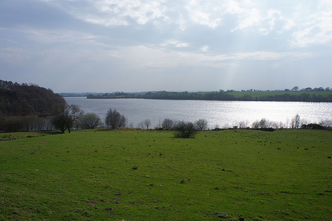
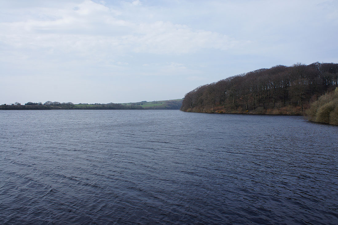
..across Anglezarke Reservoir
My route then took me below the hillside of Stronstrey Bank..
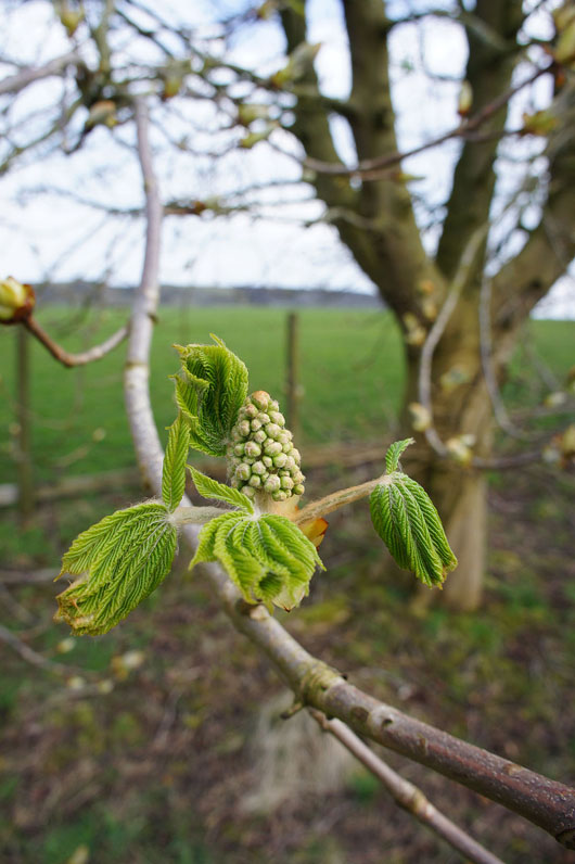
A horse chestnut comes into leaf and flower
Back in White Coppice