10th April 2016 - Around Combs Moss
Walk Details
Distance walked: 9.8 miles
Total ascent: 1798 ft
OS map used: OL24 - The Peak District, White Peak area
Time taken: 7 hrs
Route description: Bunsal Cob car park, Errwood Reservoir-Midshires Way-White Hall Centre-Midshires Way-Combs Edge-Castle Naze-Short Edge-Black Edge-Flint Clough-southwest top of Combs Moss-Midshires Way-White Hall Centre-Midshires Way-Bunsal Cob car park, Errwood Reservoir
I'd originally planned to do a walk in the upper Dove valley today, visiting summits such as Chrome Hill and Parkhouse Hill but because of the strength of the wind that was forecast I decided to leave that one for another day. I didn't fancy the idea of being on the top of Parkhouse Hill with the wind trying to push me off. The walk I ended up doing was on the moorland to the east of the Goyt Valley and a circuit of Combs Moss. I've done Combs Edge before but this time I wanted to visit the trig point on Black Edge as well, so a route around the edge of Combs Moss seemed the obvious way to combine both. The definite highlight of the day was walking north along Combs Edge in the morning in the best of the sunshine with snow dusting the top of Kinder Scout in the distance. By the middle of the afternoon the sunshine turned hazy and by then it was very windy.
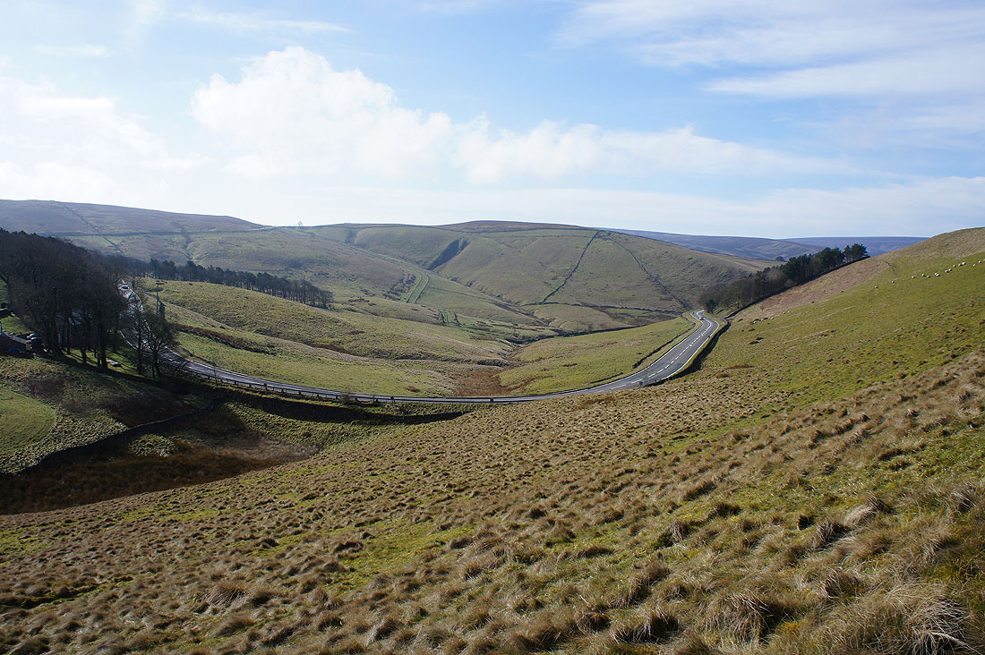
I started the walk from the layby on Goyt's Lane above Errwood Reservoir. From there I took the trail of the Midshires Way. This heads down into a wood and across a brook before heading up to the A5004. I crossed the road and continued following the trail up and across a hill to reach the White Hall Centre. The trail continues along a byway past here and as the moorland looms up on the left I looked out for a gate and stile that give entry to access land. Over the stile and a quad bike track was used to head up to the wall on the moor above and the path that heads north along Combs Edge. Combs Edge is joy to follow. There's a clear path (boggy in places) that keeps with the wall as it heads north to Allstone Lee Tor and Castle Naze. After having lunch on Castle Naze I continued to follow the moorland edge by heading east along Short Edge and then south along and past the trig point on Black Edge. The path then makes it way around Flint Clough before heading past the top of Light Wood. The circuit of the moor was completed by heading northwest to the unnamed southwestern top of Combs Moss. From here I made my way back down to the stile I crossed in the morning and I then retraced my steps back to the layby above Errwood Reservoir.
Total ascent: 1798 ft
OS map used: OL24 - The Peak District, White Peak area
Time taken: 7 hrs
Route description: Bunsal Cob car park, Errwood Reservoir-Midshires Way-White Hall Centre-Midshires Way-Combs Edge-Castle Naze-Short Edge-Black Edge-Flint Clough-southwest top of Combs Moss-Midshires Way-White Hall Centre-Midshires Way-Bunsal Cob car park, Errwood Reservoir
I'd originally planned to do a walk in the upper Dove valley today, visiting summits such as Chrome Hill and Parkhouse Hill but because of the strength of the wind that was forecast I decided to leave that one for another day. I didn't fancy the idea of being on the top of Parkhouse Hill with the wind trying to push me off. The walk I ended up doing was on the moorland to the east of the Goyt Valley and a circuit of Combs Moss. I've done Combs Edge before but this time I wanted to visit the trig point on Black Edge as well, so a route around the edge of Combs Moss seemed the obvious way to combine both. The definite highlight of the day was walking north along Combs Edge in the morning in the best of the sunshine with snow dusting the top of Kinder Scout in the distance. By the middle of the afternoon the sunshine turned hazy and by then it was very windy.
I started the walk from the layby on Goyt's Lane above Errwood Reservoir. From there I took the trail of the Midshires Way. This heads down into a wood and across a brook before heading up to the A5004. I crossed the road and continued following the trail up and across a hill to reach the White Hall Centre. The trail continues along a byway past here and as the moorland looms up on the left I looked out for a gate and stile that give entry to access land. Over the stile and a quad bike track was used to head up to the wall on the moor above and the path that heads north along Combs Edge. Combs Edge is joy to follow. There's a clear path (boggy in places) that keeps with the wall as it heads north to Allstone Lee Tor and Castle Naze. After having lunch on Castle Naze I continued to follow the moorland edge by heading east along Short Edge and then south along and past the trig point on Black Edge. The path then makes it way around Flint Clough before heading past the top of Light Wood. The circuit of the moor was completed by heading northwest to the unnamed southwestern top of Combs Moss. From here I made my way back down to the stile I crossed in the morning and I then retraced my steps back to the layby above Errwood Reservoir.
Route map
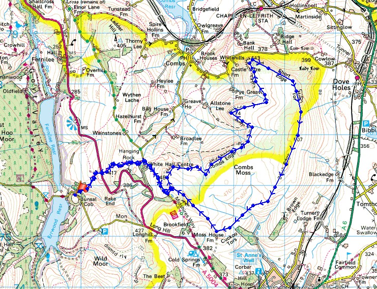
© Crown copyright. All rights reserved. License number PU 100034184.
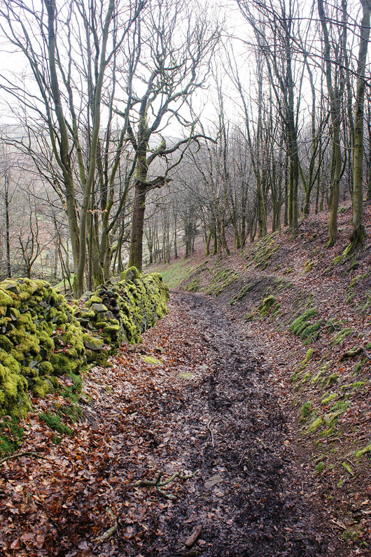
I set off by taking the trail of the Midshires Way
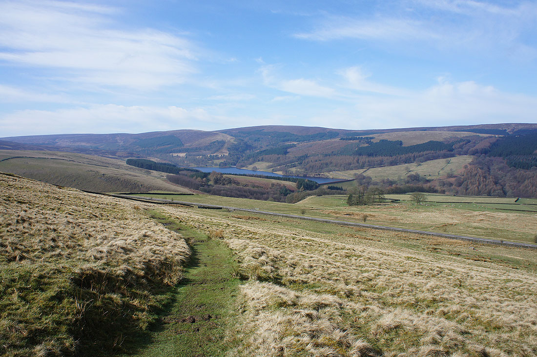
After crossing the A5004 looking back to Errwood Reservoir with Shining Tor above
and Goyt Forest and a bit of Fernilee Reservoir visible
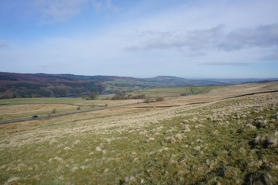
Going round the bend
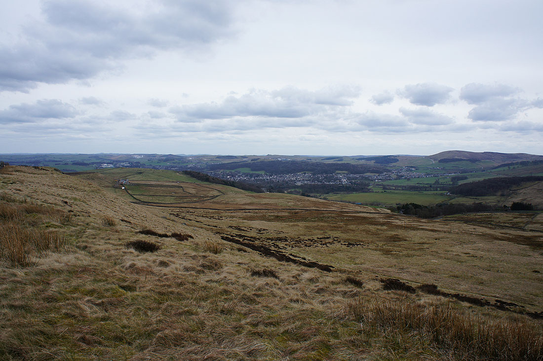
As I cross the top of the hill a snow dusted Kinder Scout appears along with part of Combs Edge
An even better view looking down the Combs Valley from outside the White Hall Centre
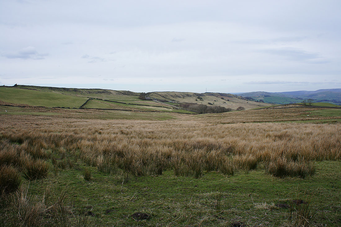
Looking back along the byway with the White Hall Centre in the trees on the left
Shining Tor and Cats Tor above the Goyt Valley as I cross the stile below onto access land
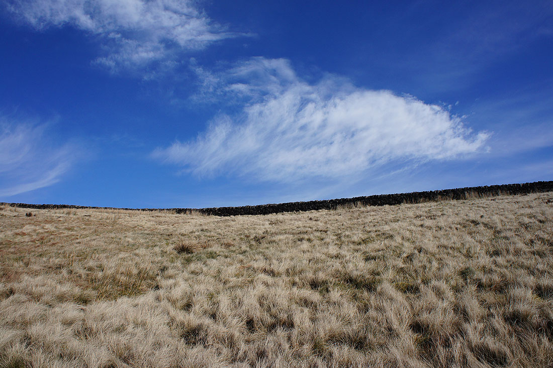
Beautiful blue skies above
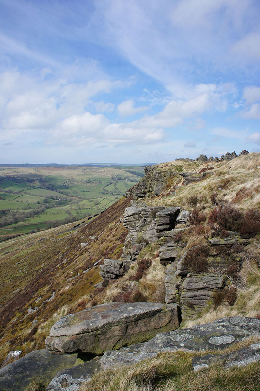
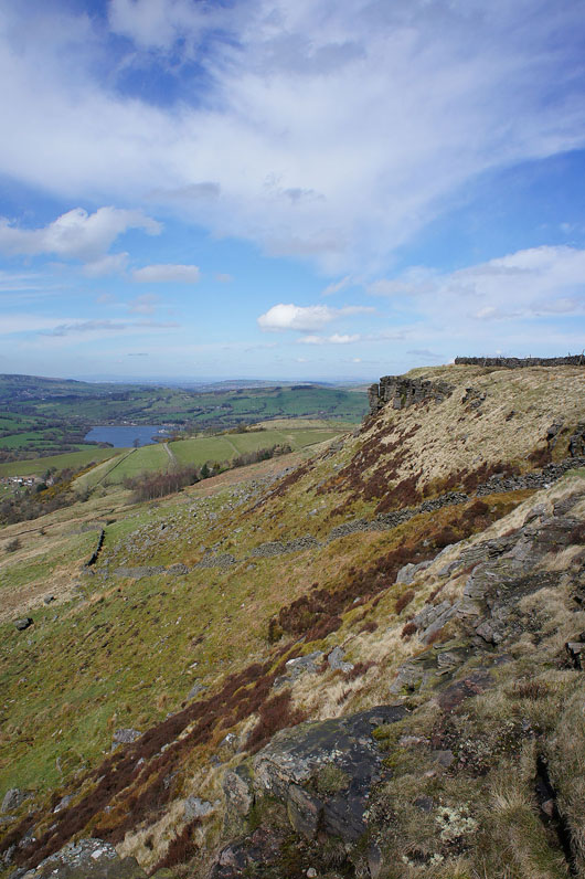
A fantastic view as I soon as I get onto Combs Edge. Combs Reservoir, Kinder Scout, Castle Naze and Allstone Lee Tor. This was my favourite shot of the day and I deliberately stepped back from the wall so that it made an interesting feature in the foreground. That snow on Kinder Scout won't last long in the warm April sunshine.
This time from the other side of the wall so that I can see the Combs Valley below
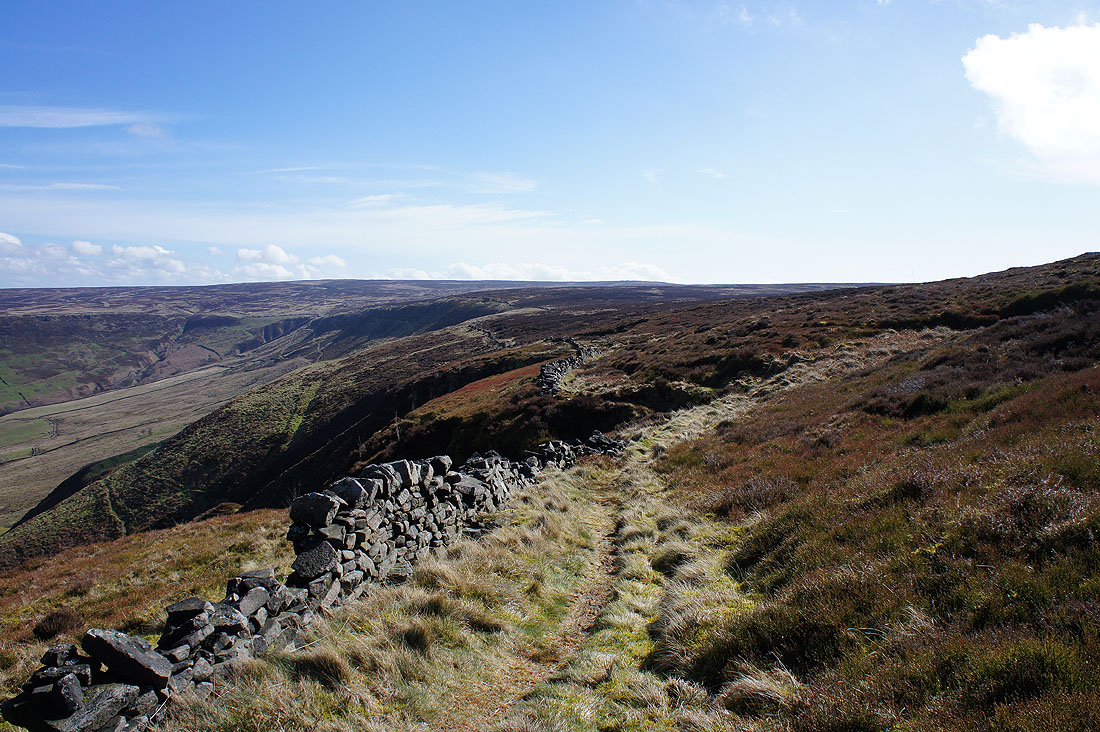
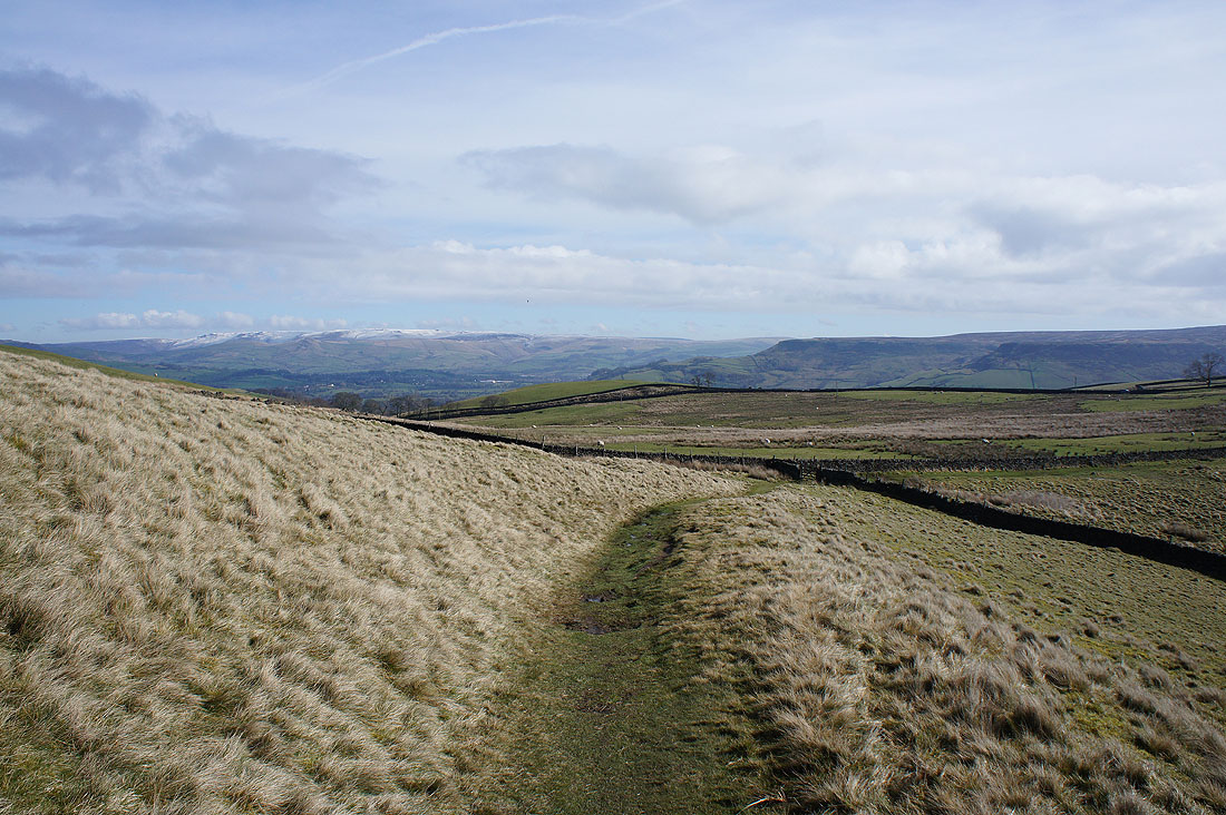
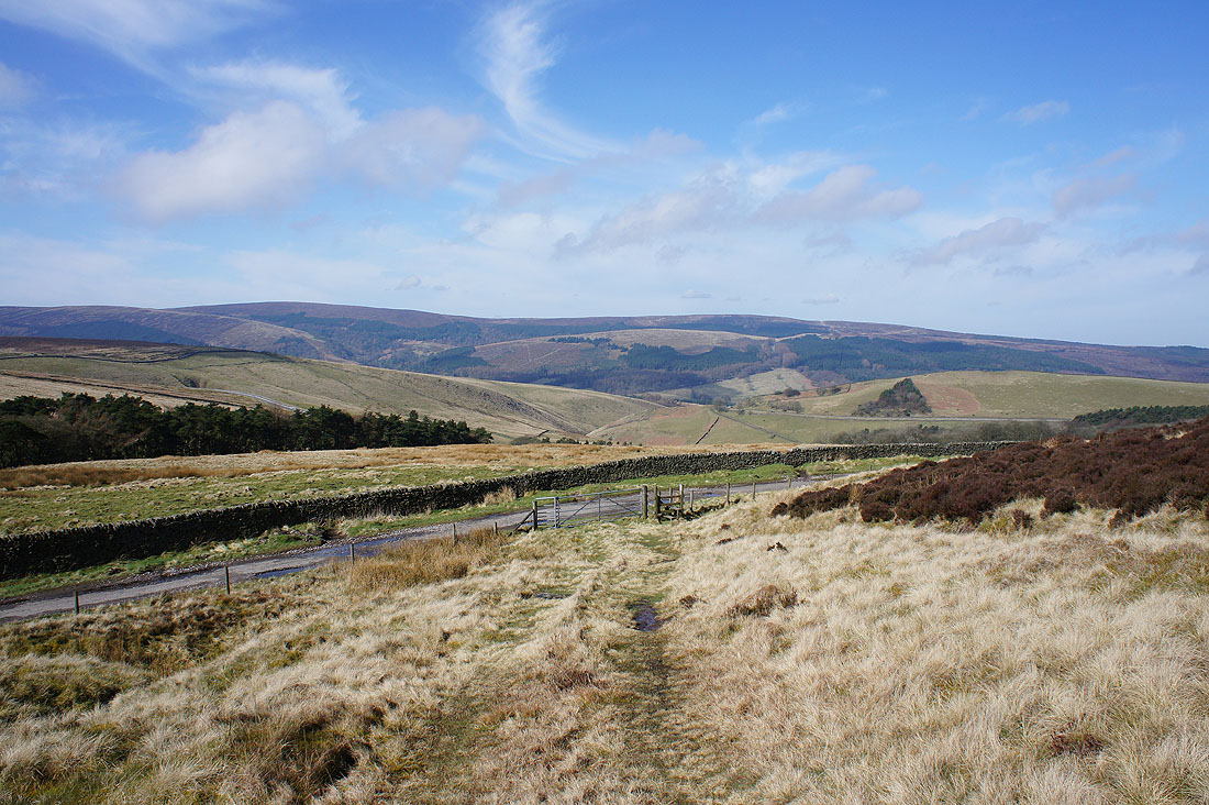
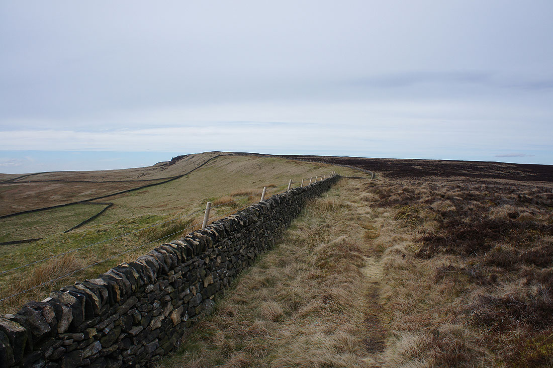
A path then follows the wall along the edge of the moor
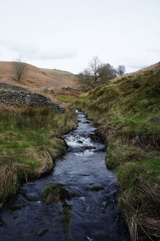
Across the first of a few brooks that drain Combs Moss
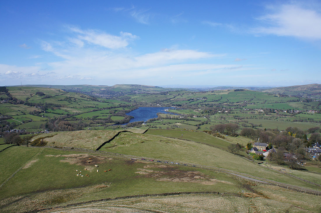
Combs Reservoir and Allstone Lee Tor
Allstone Lee Tor as I cross another brook next to the two shooting huts that are on the edge of the moor here
Modest crags on Allstone Lee Tor
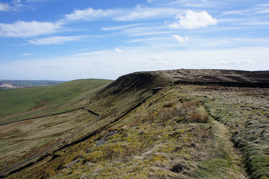
As I round the corner Castle Naze appears ahead
With the village of Combs and Combs Reservoir below
Great colours as I cross Pyegreave Brook
Approaching Castle Naze
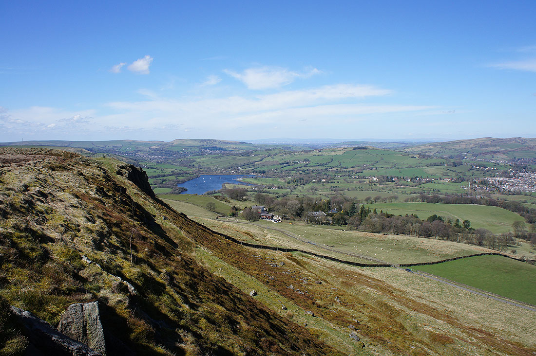
Castle Naze was a great spot to stop for lunch, sat in the sun and out of the wind. I'll take in the view before I move on. Looking back to Allstone Lee Tor with Pye Greave Farm below and the rest of Combs Edge.
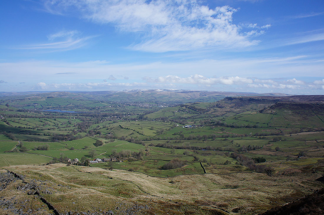
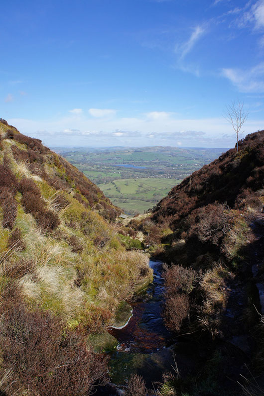
Combs Reservoir backed by Whaley Moor with Eccles Pike on the right. The visibility is really good today. I can make out Winter Hill and the rest of the West Pennine Moors through the gap in the hills.
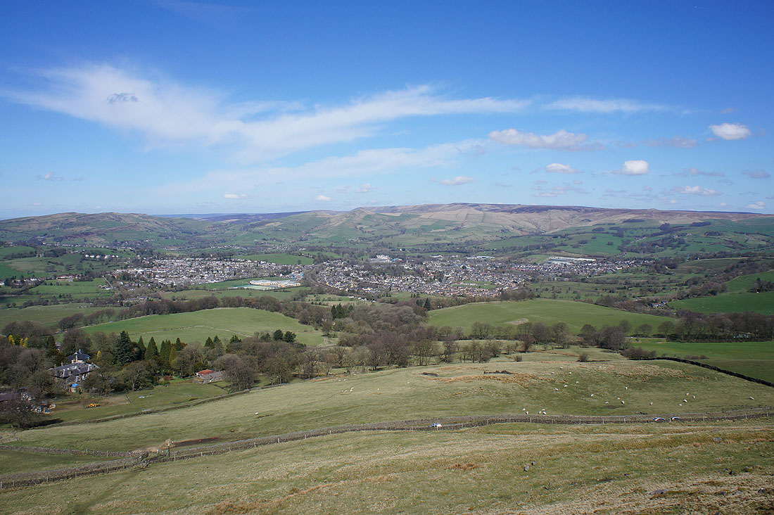
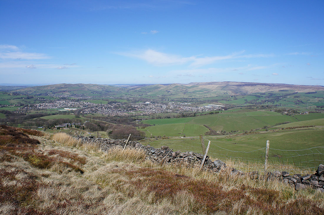
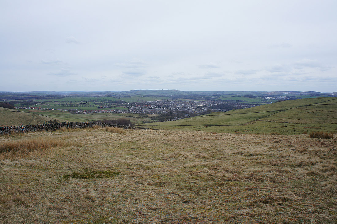
Chapel-en-le-Frith with Chinley Churn on the left and Kinder Scout on the right. The snow is long gone.
Onto Short Edge
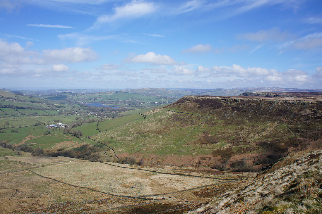
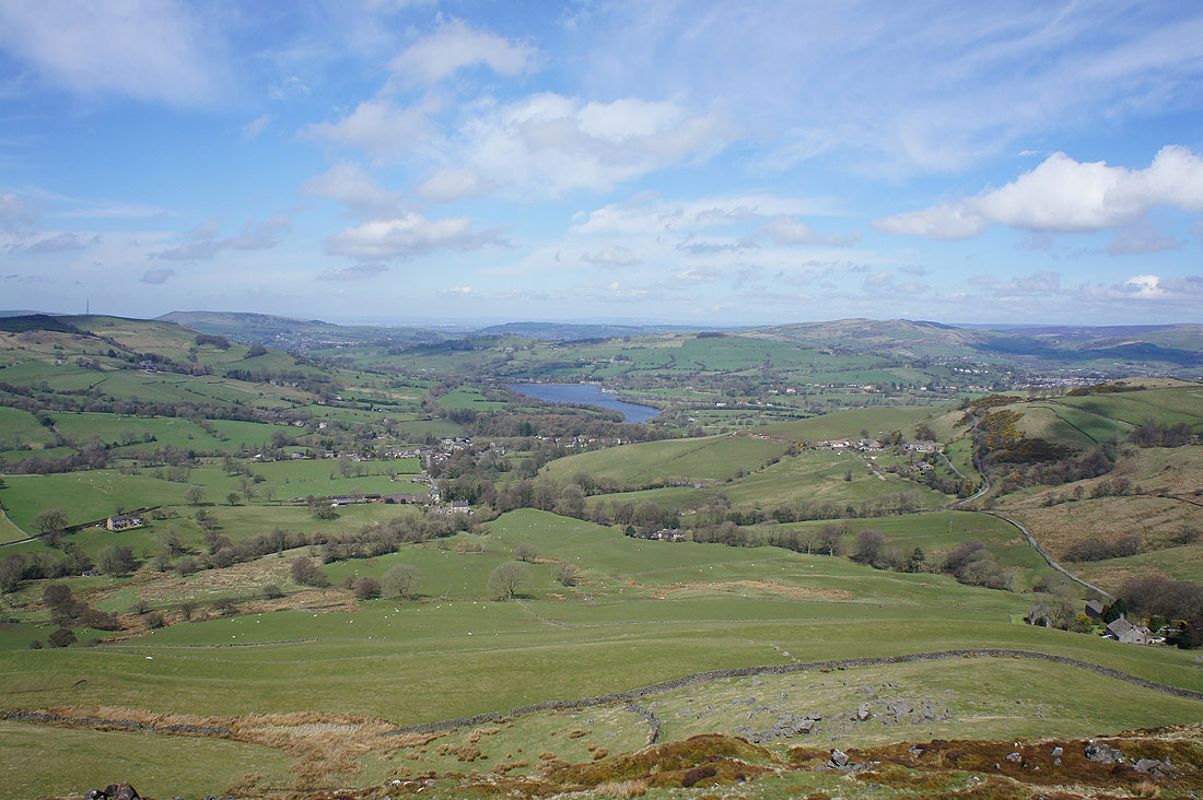
Looking back to Combs Reservoir from Short Edge. There are a number of boats out on it now taking advantage of the strong wind.
Rushup Edge, Mam Tor and Eldon Hill in the distance
A last chance to look down on Chapel-en-le-Frith as I reach the top of Short Edge
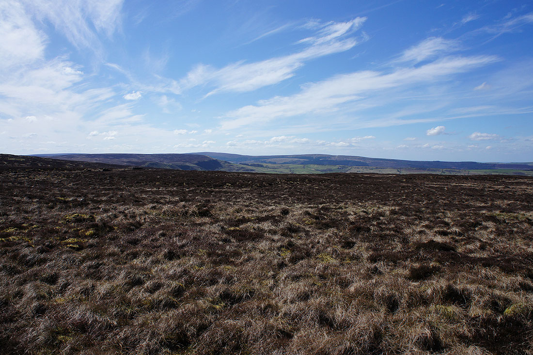
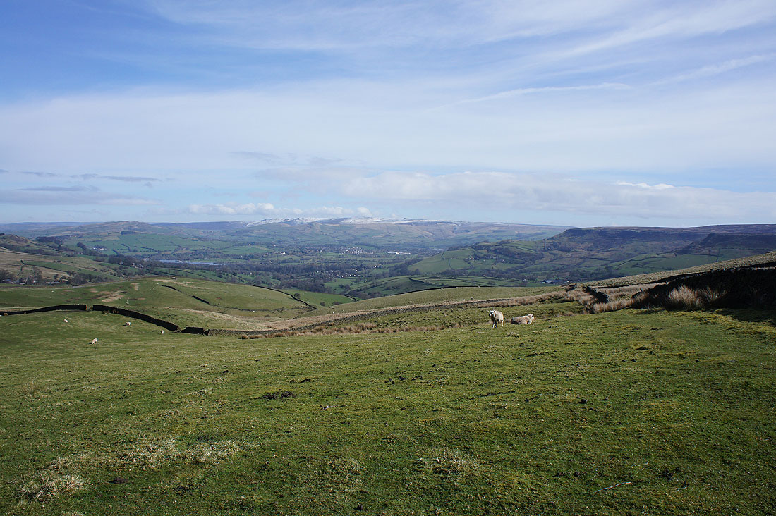
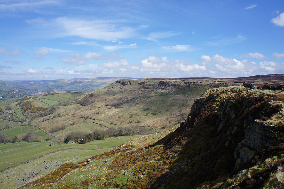
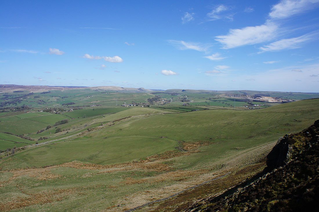
Great moorland views across Combs Moss as I head south along Black Edge..
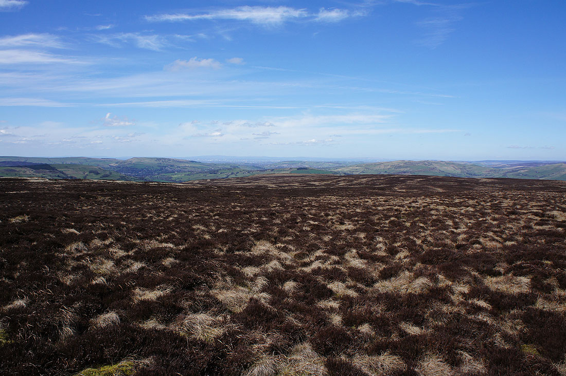
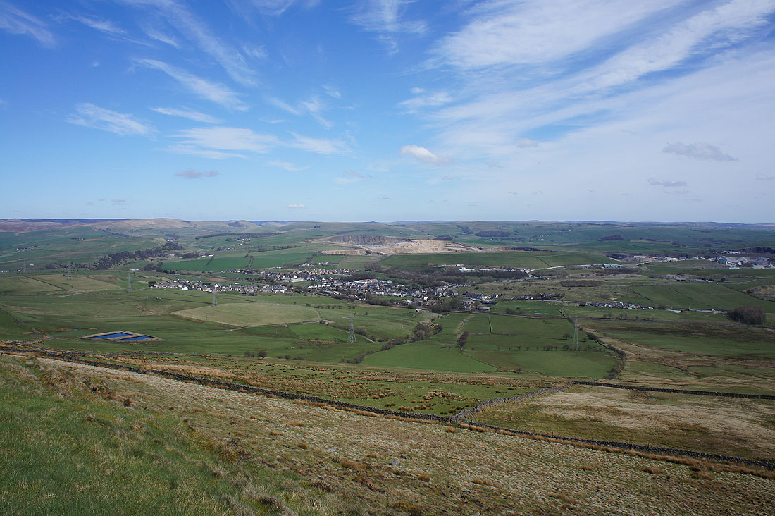
The village of Dove Holes below. Somewhere that I've driven through many times on the A6 to Buxton.
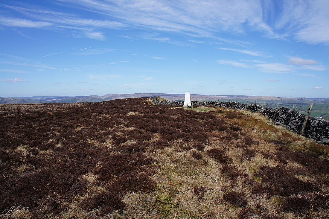
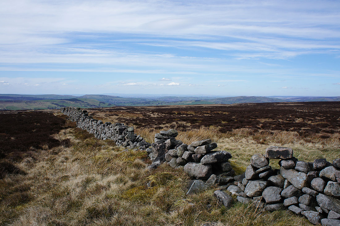
At the trig point on Black Edge, the high point of the walk
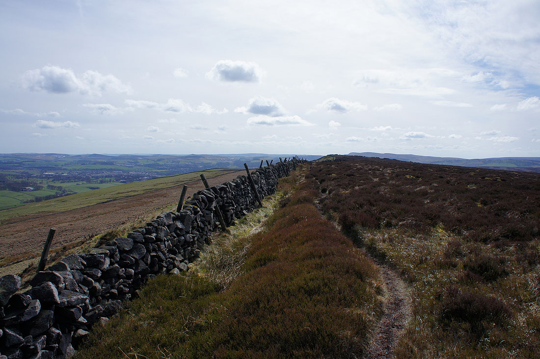
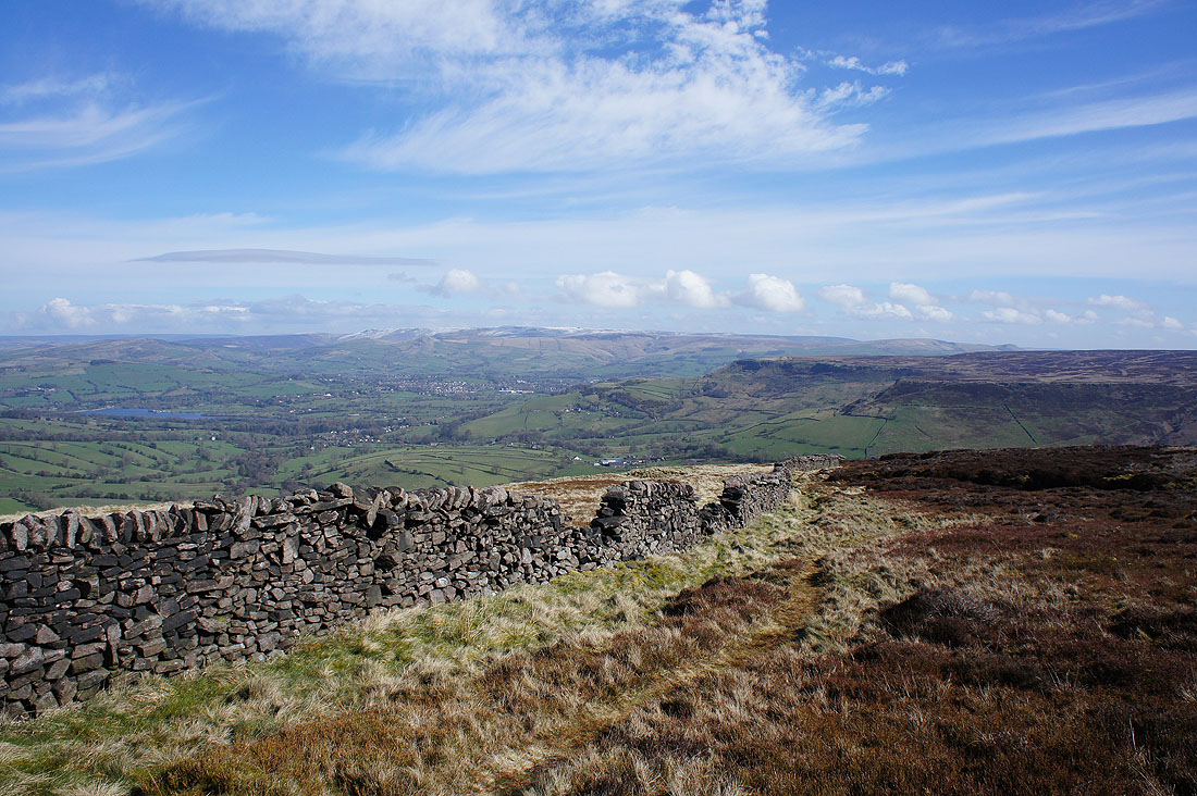
Looking south along Black Edge. That wall is providing a surprising amount of shelter from the strong easterly wind coming in from the left.
Great views back to the trig point..
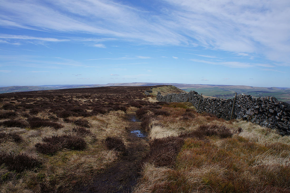
..and across the moor from a handy shelter at a junction of walls
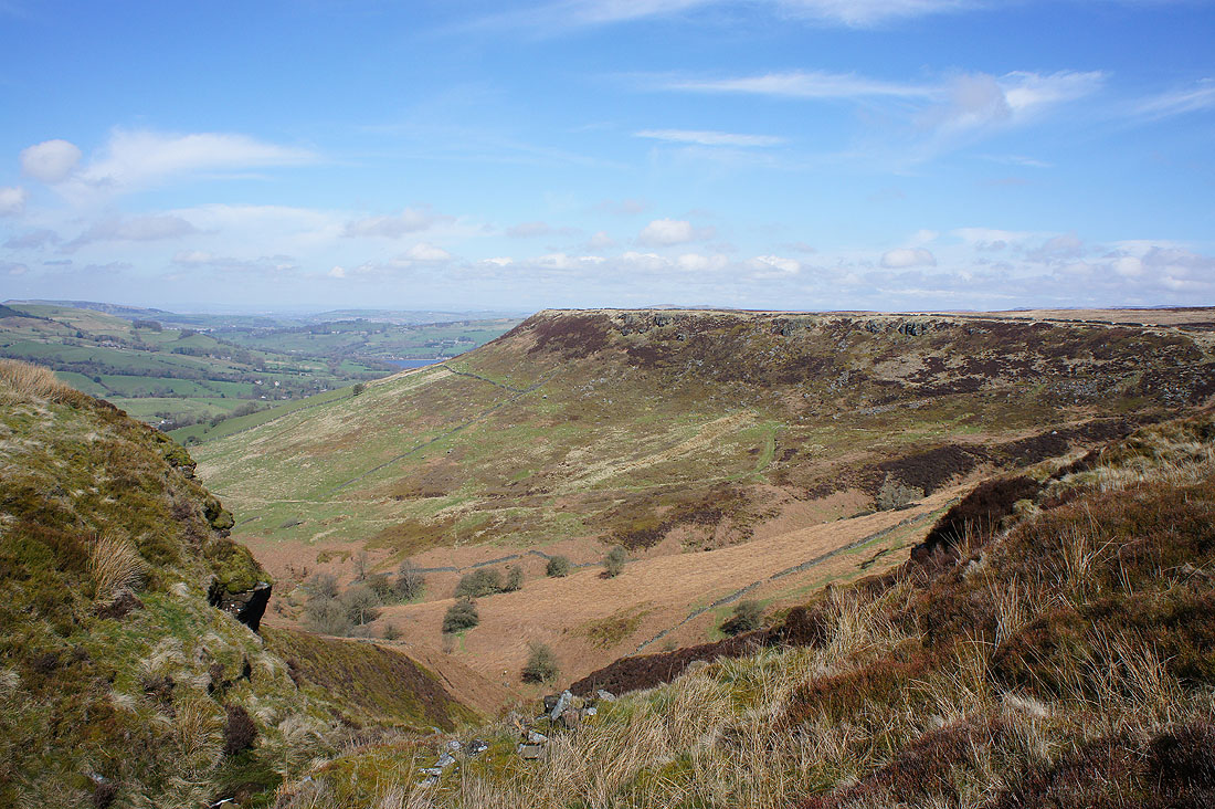
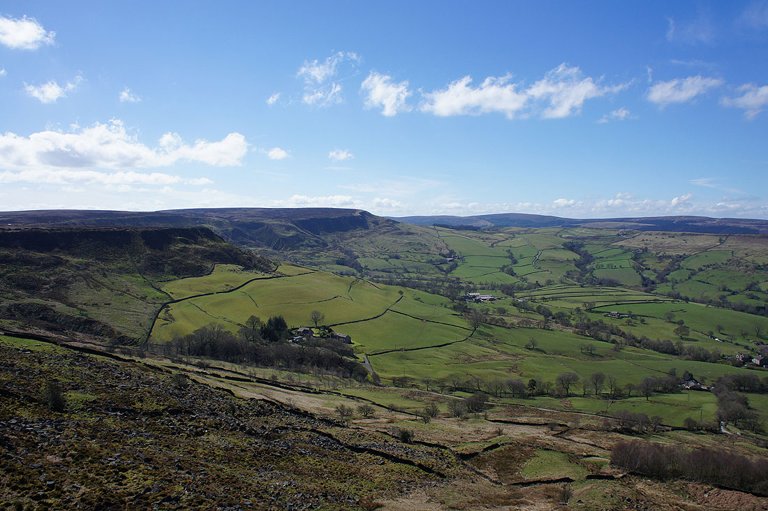
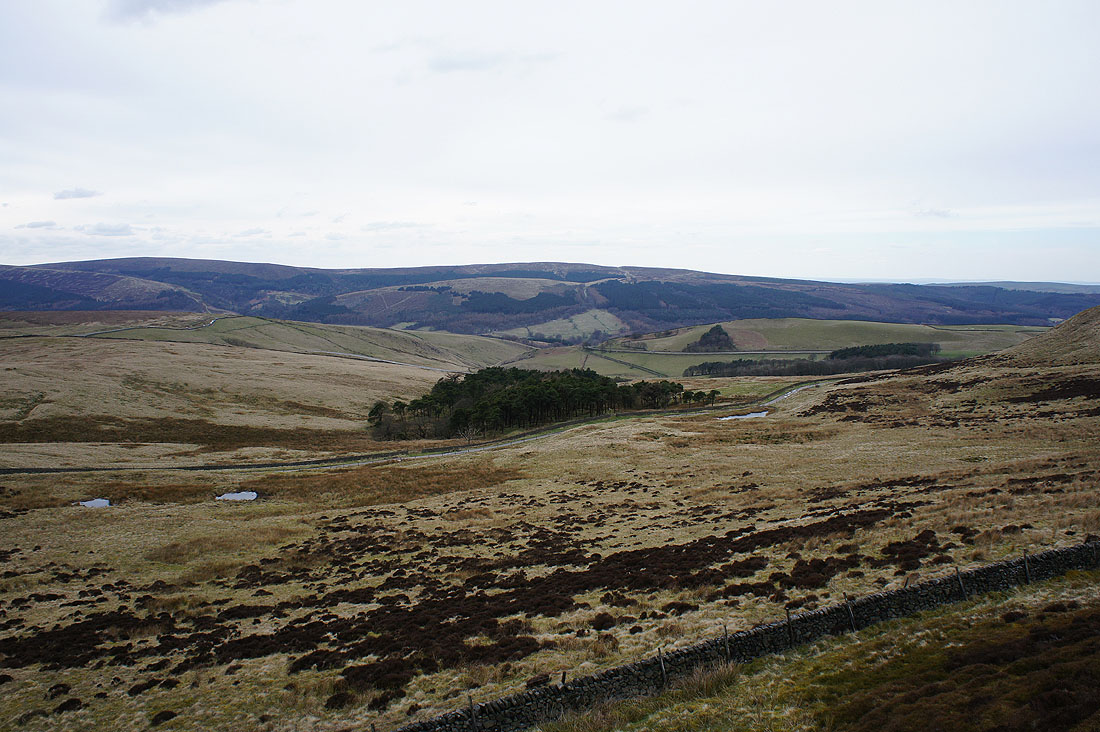
Starting to head down towards Flint Clough with Axe Edge Moor in the distance
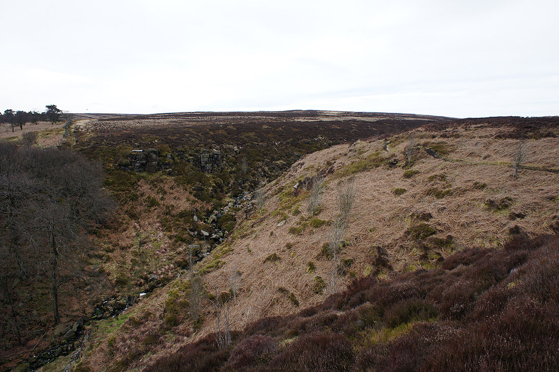
The path makes its way around Flint Clough to the top of Light Wood
Out of the top of Light Wood with Buxton below
Onto the final bit of the circuit of Combs Moss
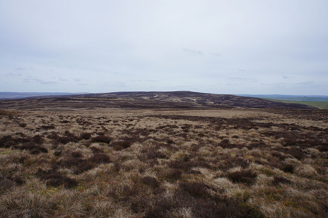
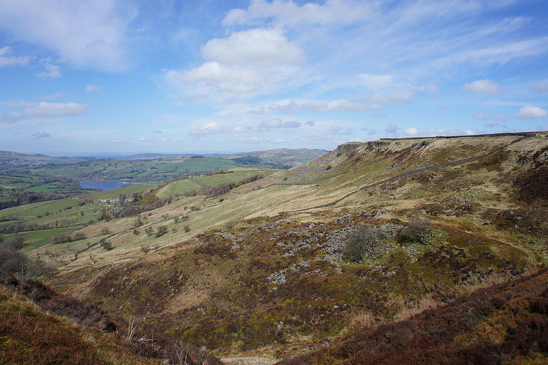
Looking across to Black Edge
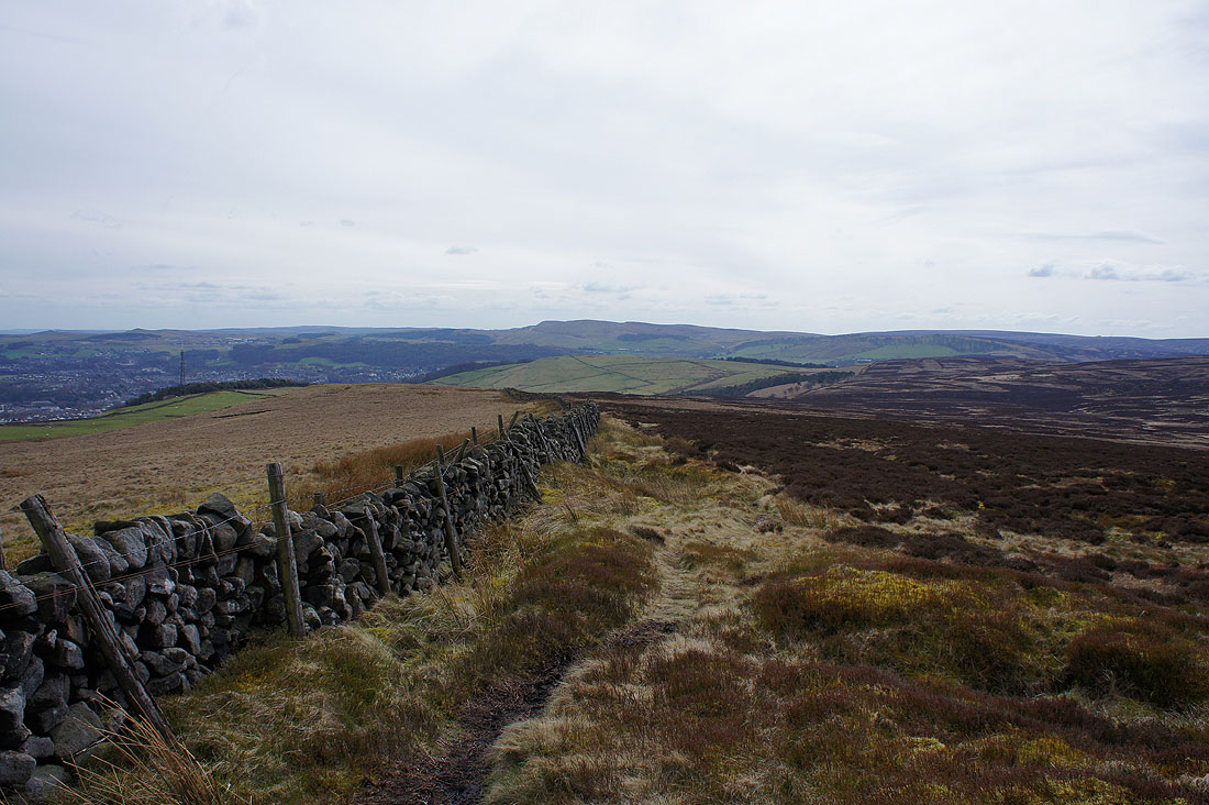
Corbar Hill, Burbage and Axe Edge Moor
Shining Tor, Cats Tor and the byway I was on this morning is now in sight
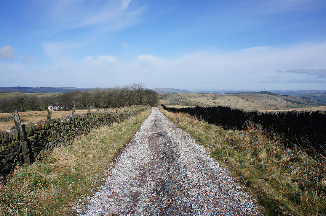
Past the White Hall Centre again and I do like the look of that ridge with the rash of boulders on its slopes
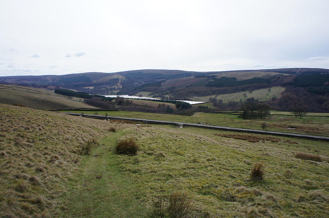
Errwood Reservoir ahead as I descend towards the A5004
Back across the brook below Bunsal Cob