10th August 2013 - Horse Head & Old Cote Moor Top
Walk Details
Distance walked: 13.0 miles
Total ascent: 2736 ft
OS map used: OL30 - Yorkshire Dales, Northern & Central areas
Time taken: 7 hrs
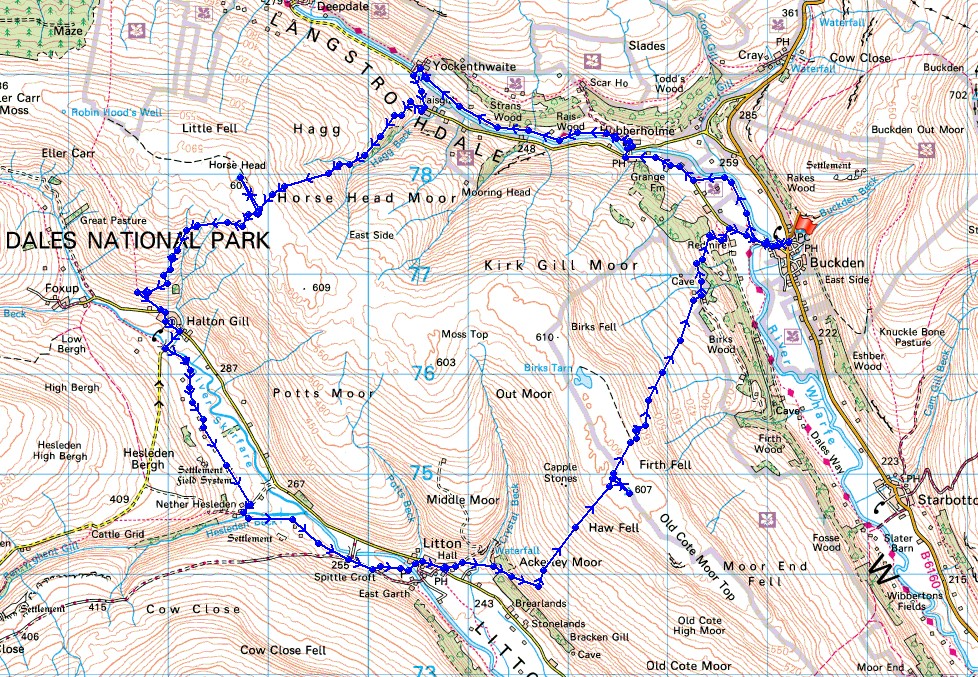
Route description: Buckden-Dales Way-Hubberholme-Yockenthwaite-Horse Head-Halton Gill-Litton-Old Cote Moor Top-Buckden
After being away for several weeks it felt great to be out again and this walk on what for me was mostly new ground was a great leg stretcher. It was also a bit of shock to be walking in typically cool weather again after a month of hot conditions in July both home and away.
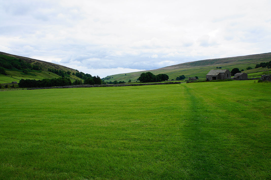
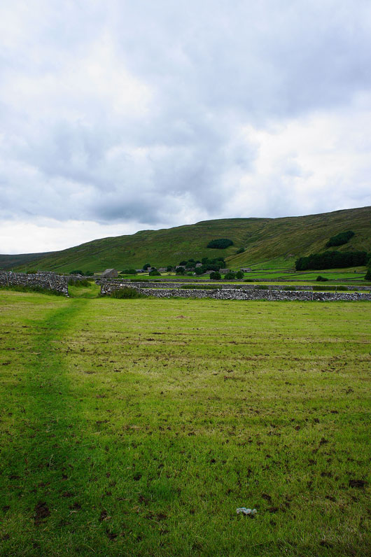
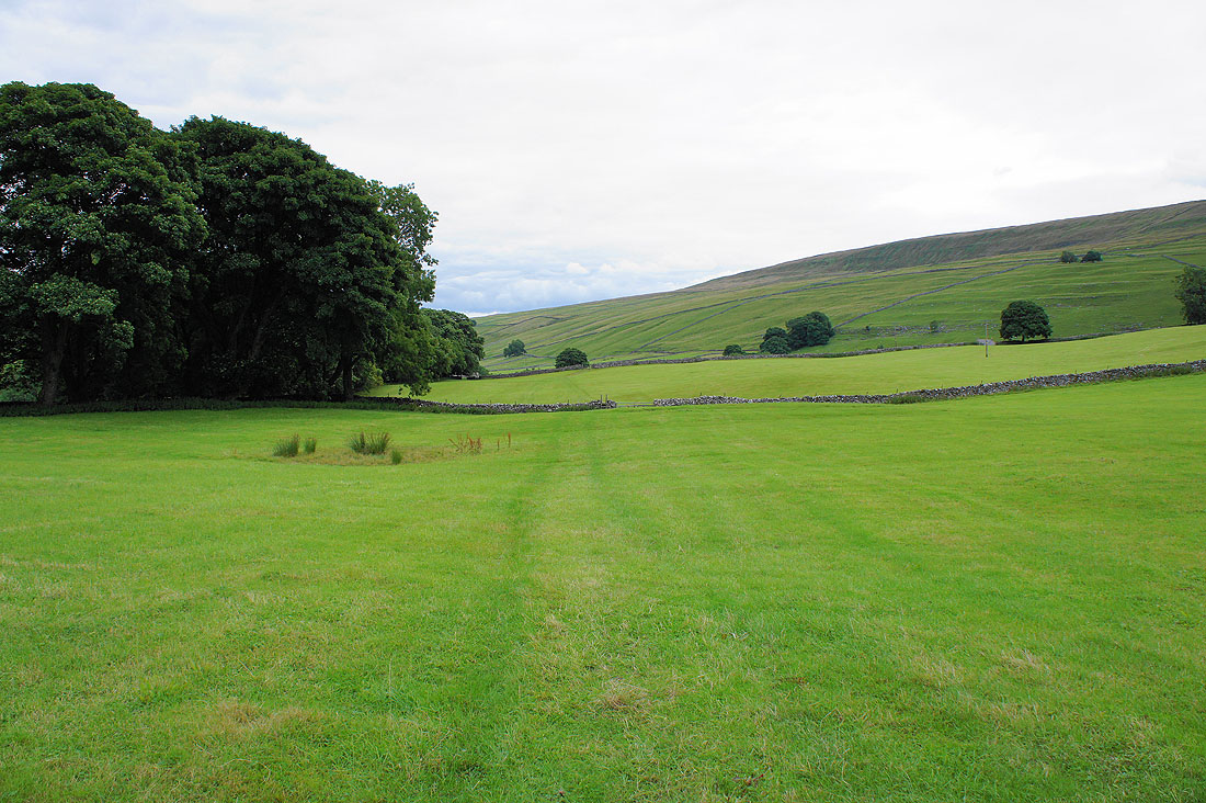
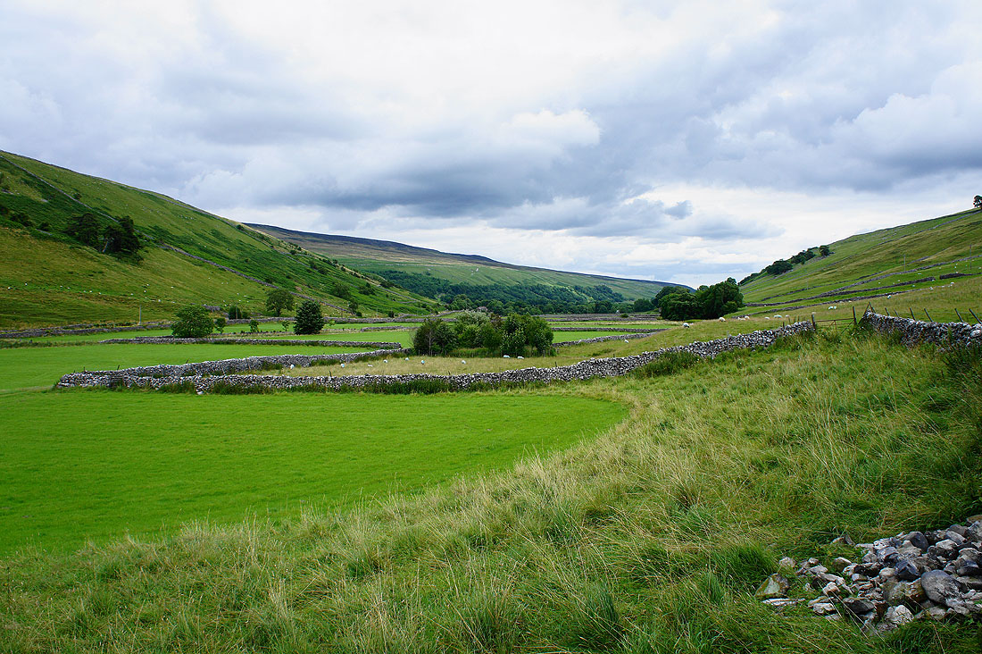
From Buckden I set off by following the Dales Way to Hubberholme and then Yockenthwaite. I then climbed over Horse Head Moor with a visit to the trig point before dropping down into Littondale and the hamlet of Halton Gill. From Halton Gill I then walked down the valley to Litton to then take the bridleway across Old Cote Moor Top back to Buckden.
Route map
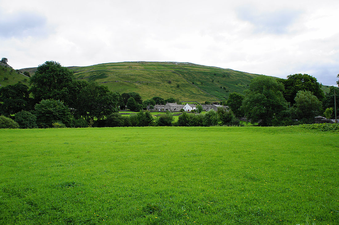
Leaving Buckden behind
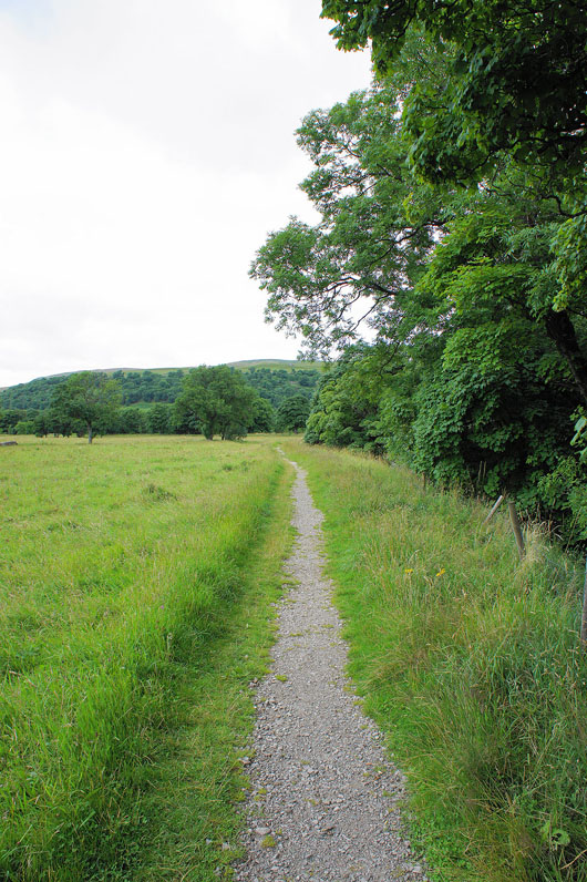
By the Dales Way
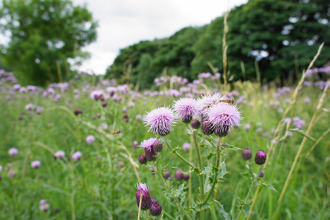
I've never seen so many thistles in one spot
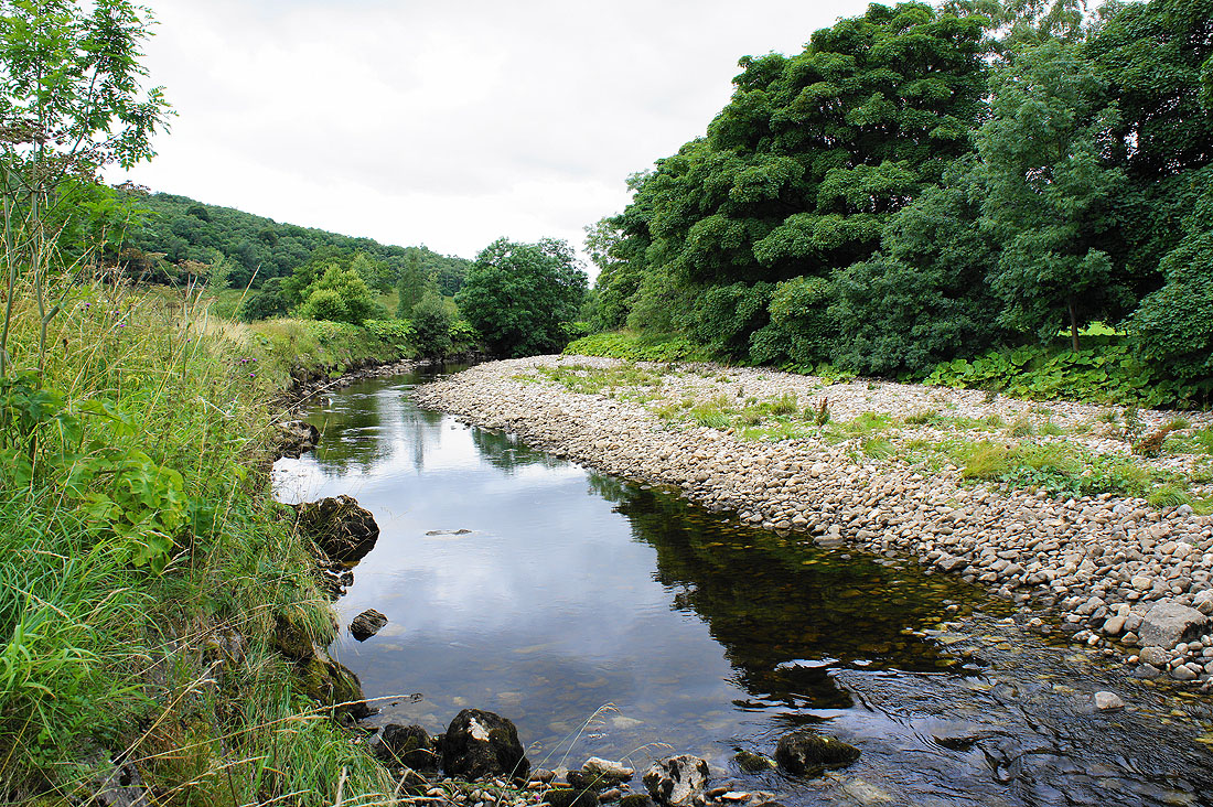
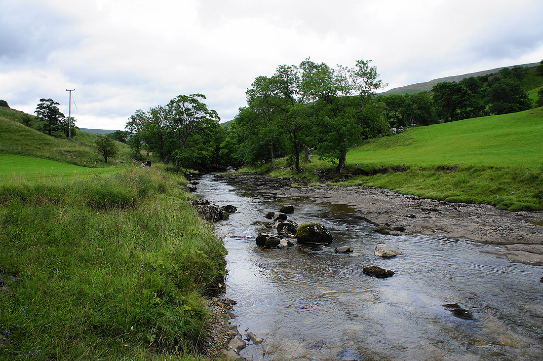
Walking by the River Wharfe
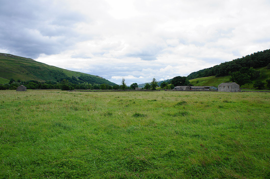
Wharfedale
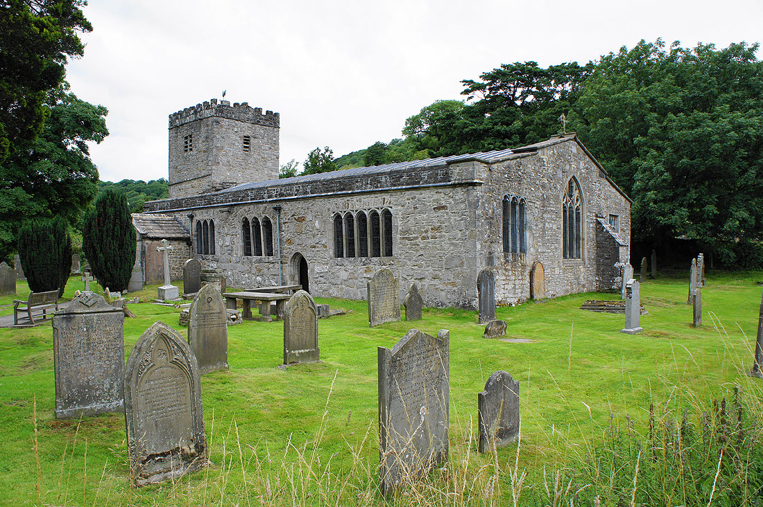
The Norman church of St. Michael and All Angels in Hubberholme
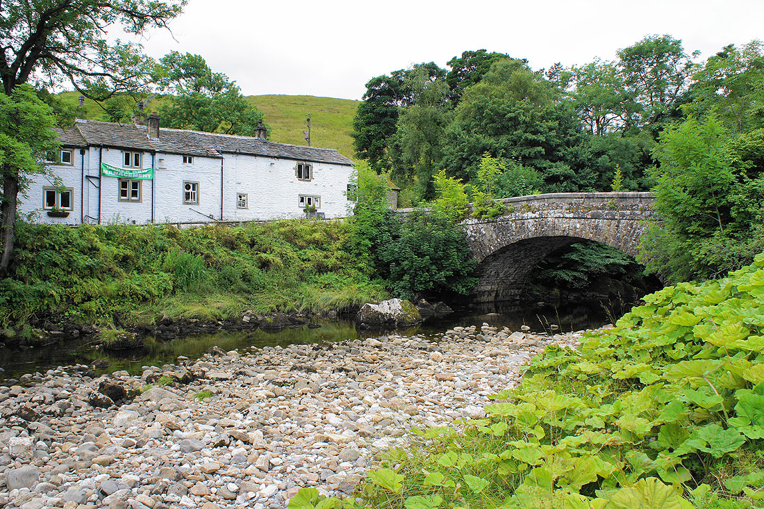
The George Inn by Hubberholme Bridge
By the Wharfe heading up Langstrothdale to Yockenthwaite
Crossing the Wharfe at Yockenthwaite
and a view of the hamlet of Yockenthwaite
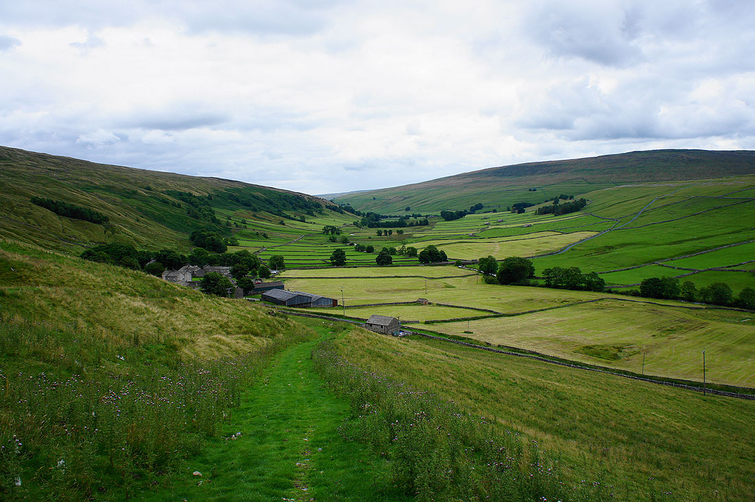
A view of Langstrothdale and Buckden Pike as I head up Horse Head Moor
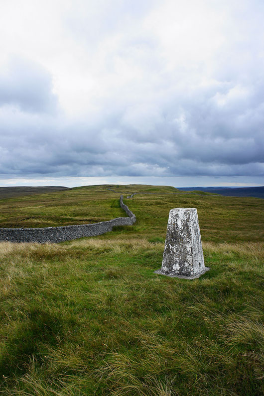
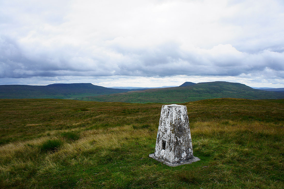
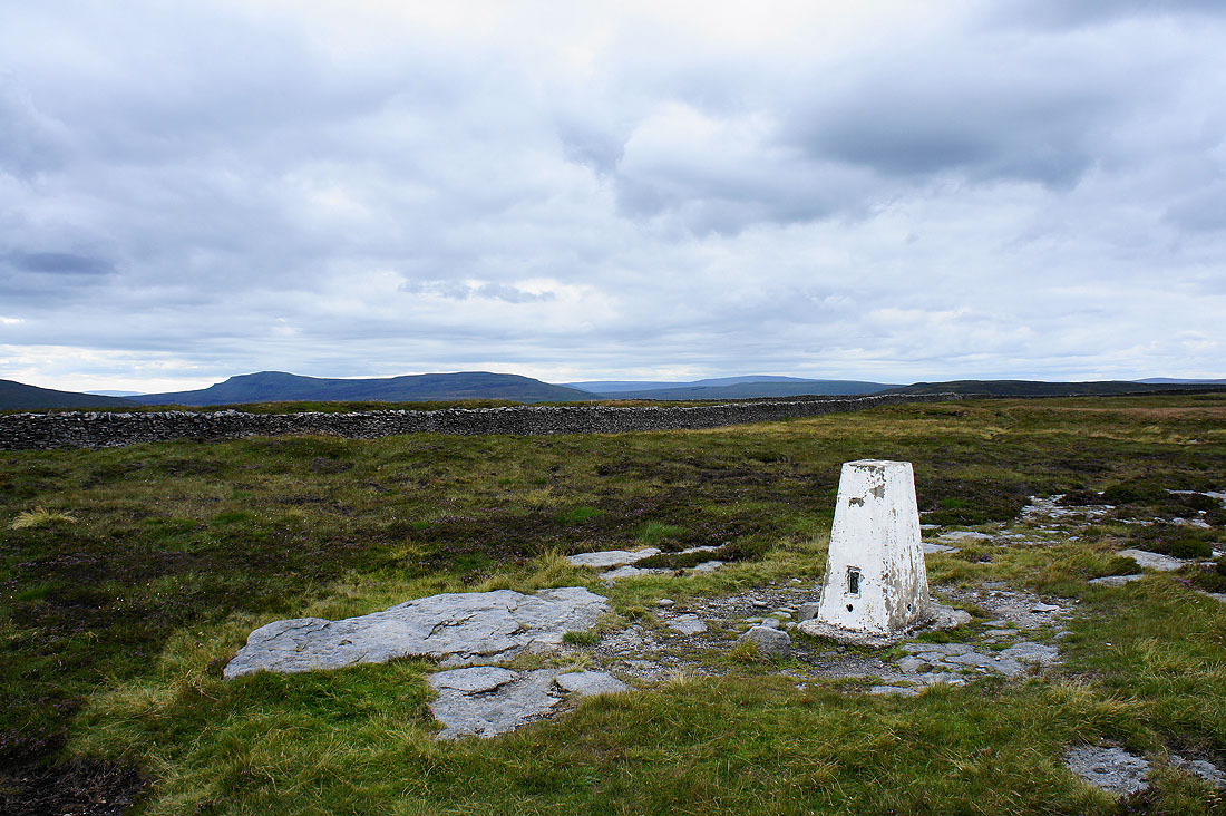
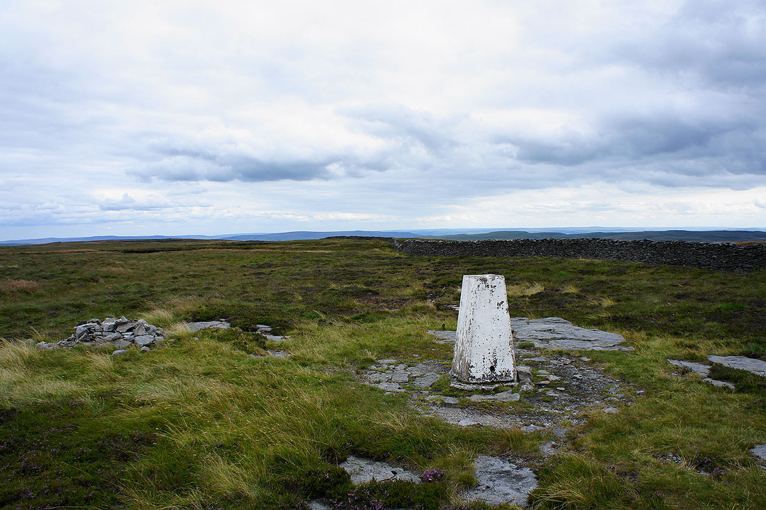
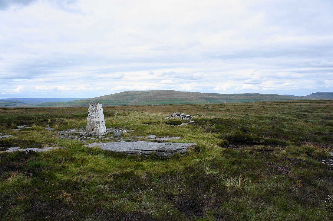
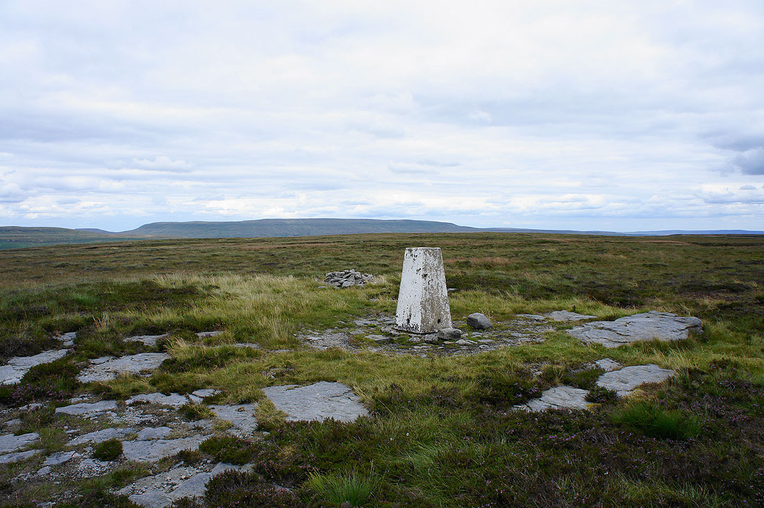
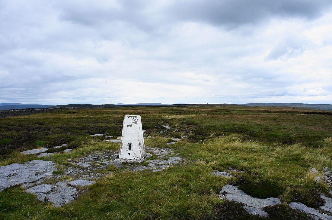
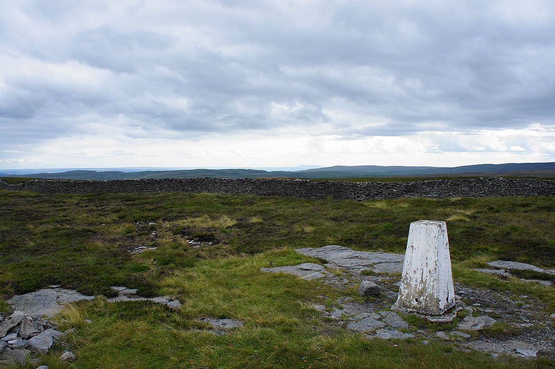
The trig point on the summit of Horse Head Moor
Looking across to Buckden Pike
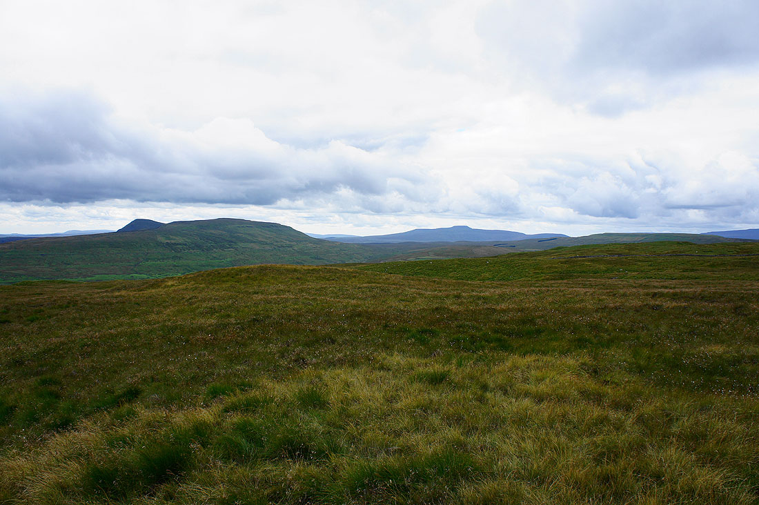
Fountains Fell, Penyghent and Plover Hill
Penyghent, Plover Hill and Ingleborough
Ingleborough and Whernside
To the northwest is Dodd Fell Hill, High Seat above Mallerstang and Great Shunner Fell
A change of lens enabled me to zoom in on the Lake District fells that were visible to the right of Whernside. Helvellyn is the easiest to recognise.
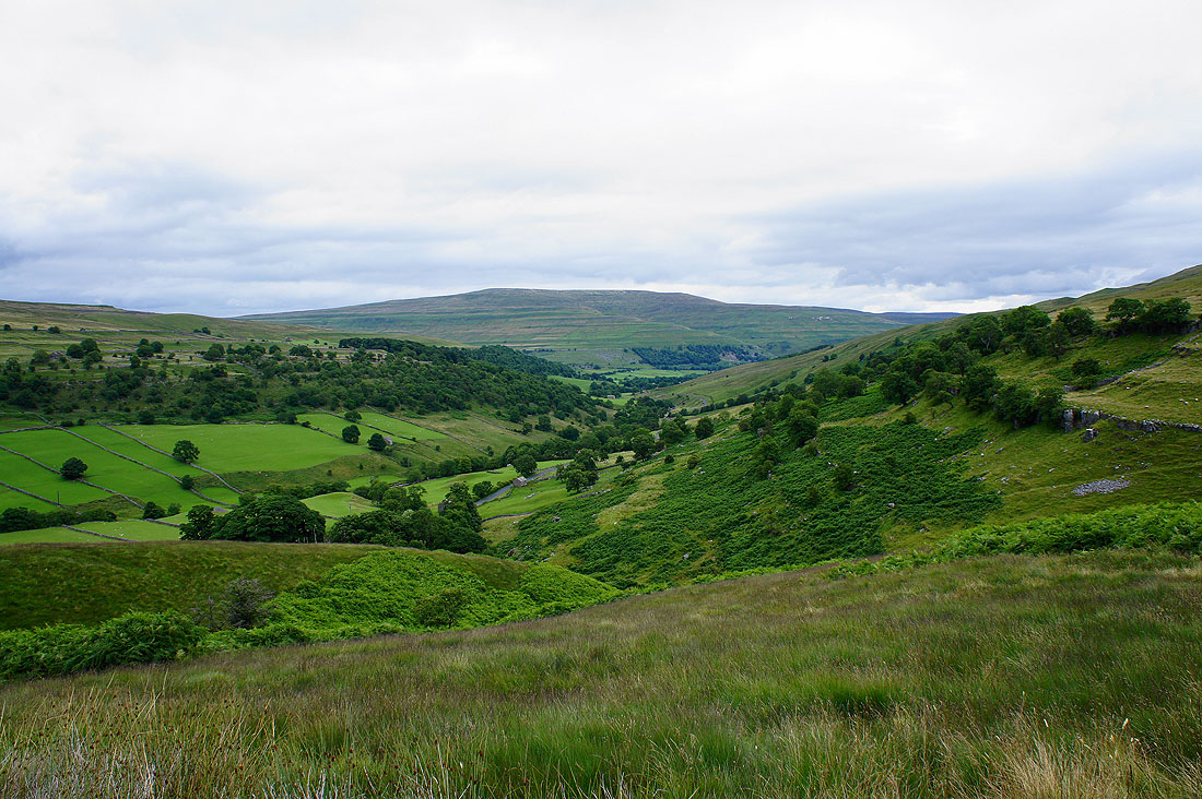
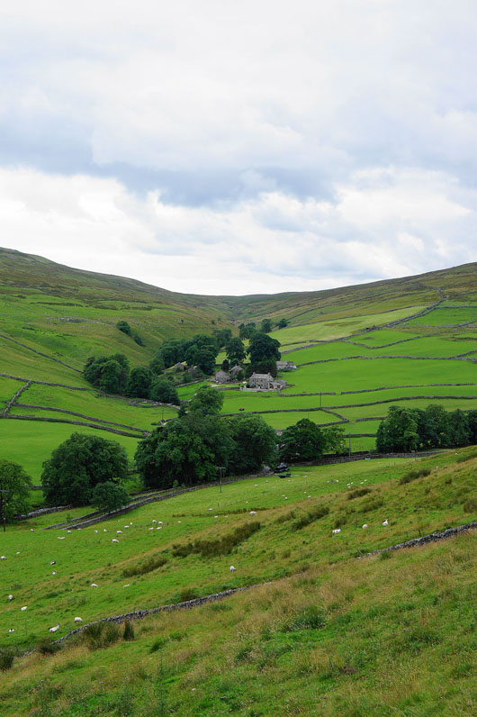
Littondale comes into view as I head down
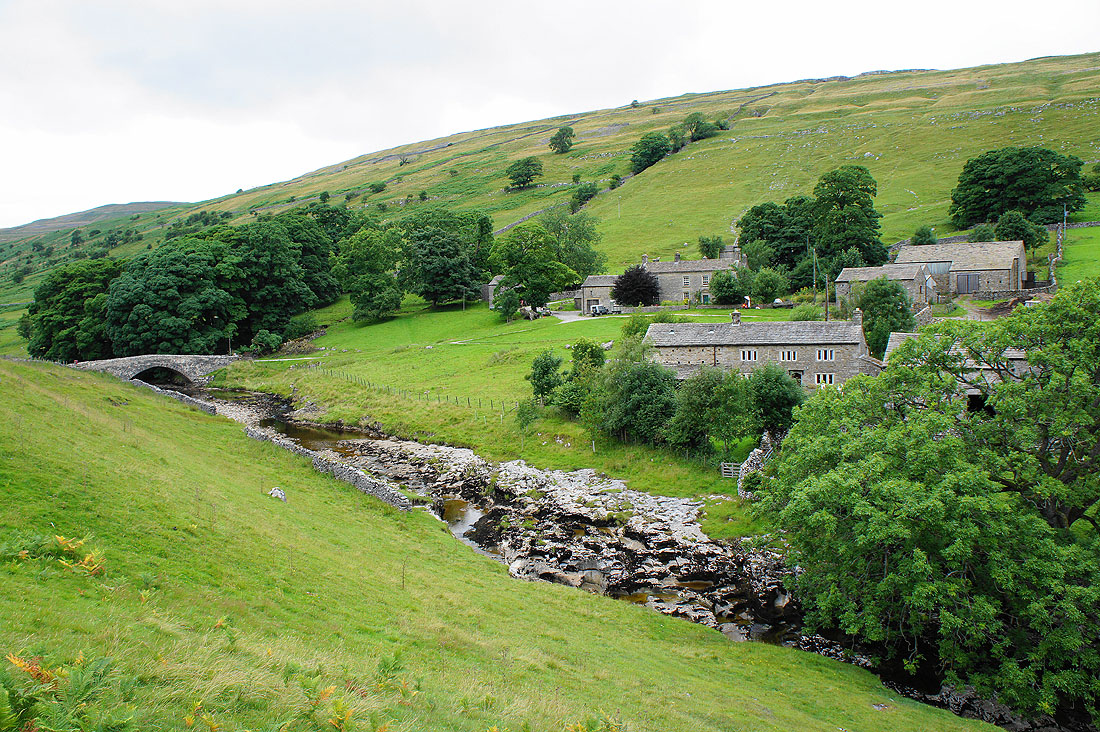
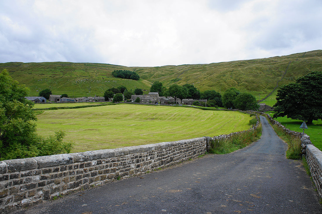
Approaching the hamlet of Halton Gill
and the hamlet of Foxup where the road up the valley comes to an end
Halton Gill from Halton Gill Bridge as I cross the River Skirfare to head down the valley to Litton
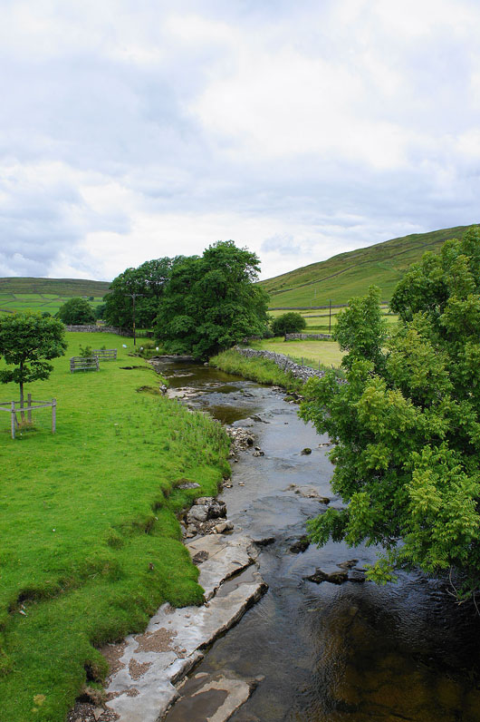
and a view of the River Skirfare from the bridge
Heading down Littondale
Looking back to Halton Gill
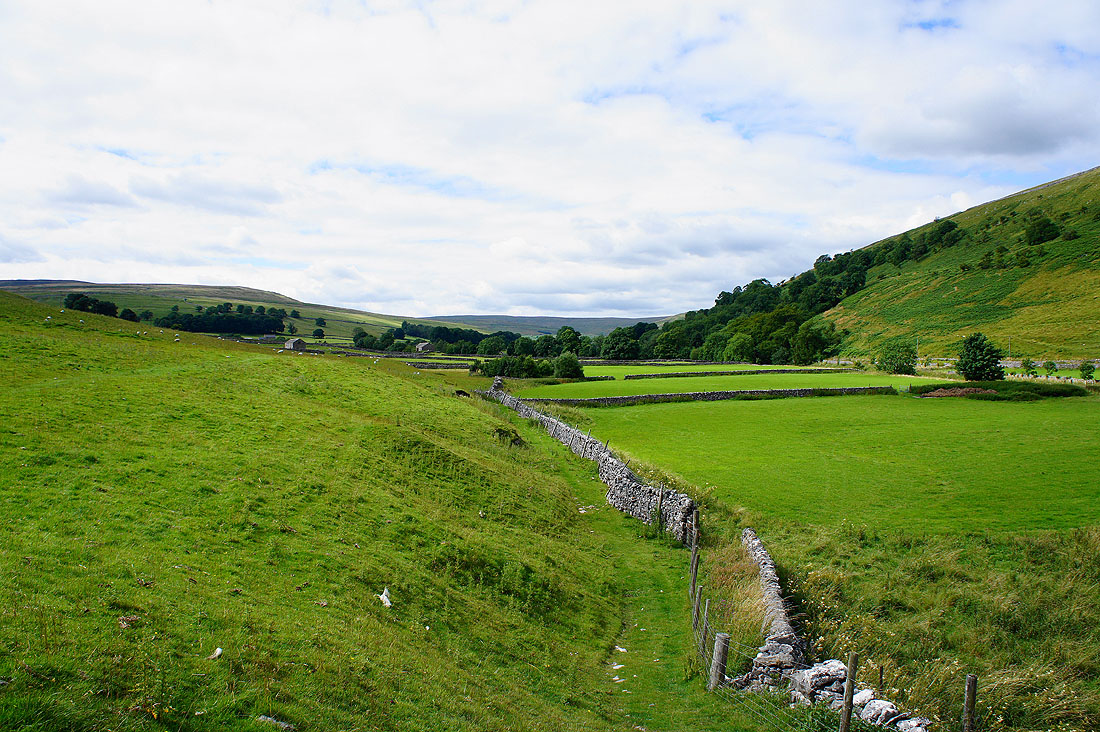
Quiet walking
Not far to go to Litton now
Littondale as the sun puts in a rare appearance
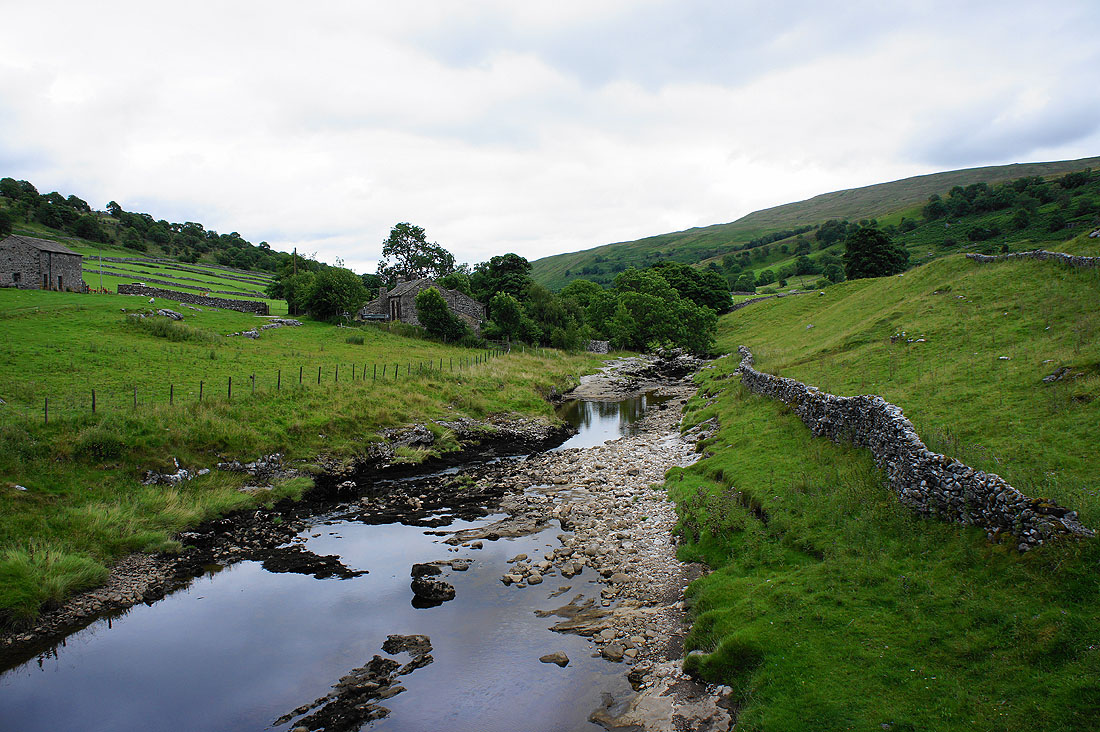
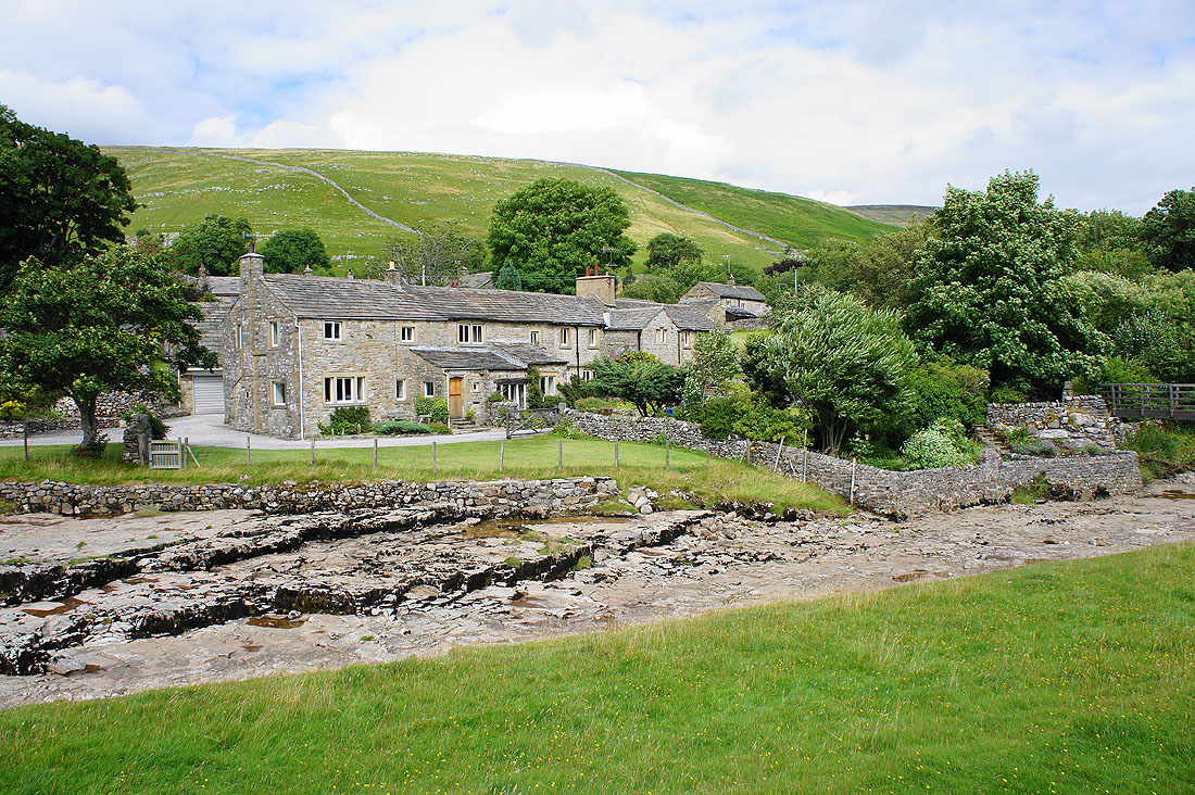
Litton across a dry riverbed
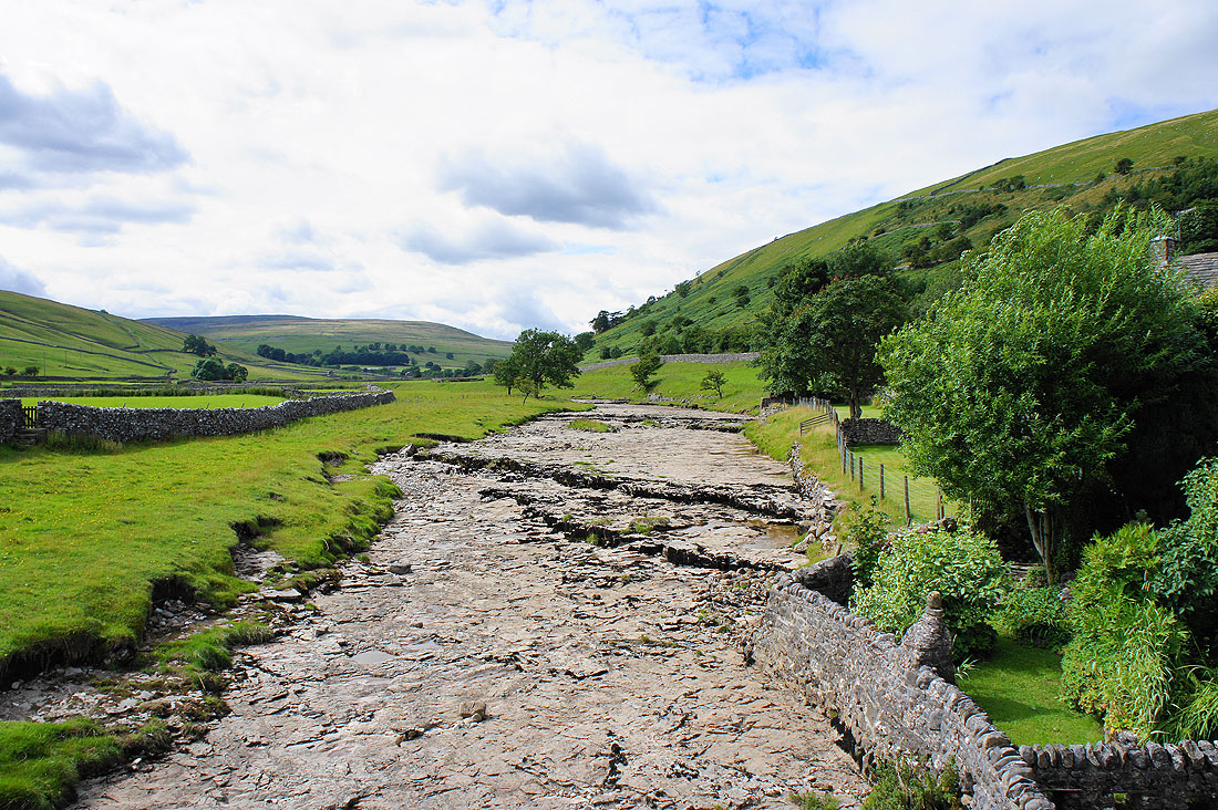
A dry River Skirfare. I wonder how often water flows in this stretch of the river?
Leaving Littondale as I head for Old Cote Moor Top
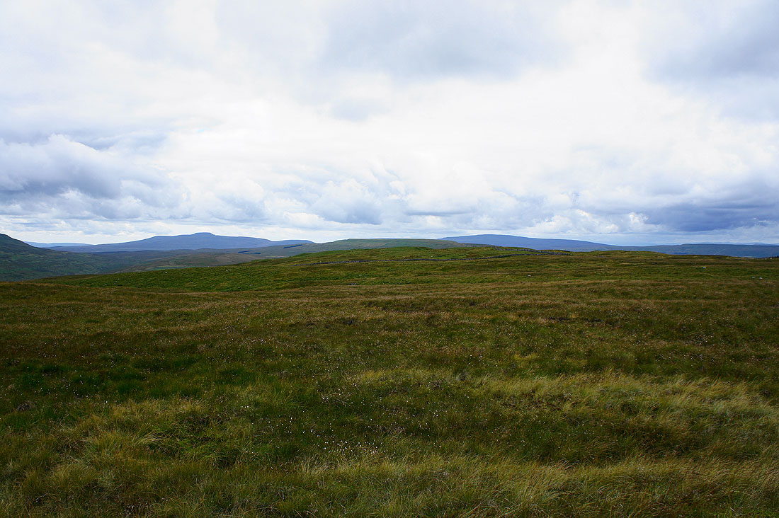
Penyghent and Plover Hill on the left from the trig point on the summit of Old Cote Moor Top
There's a really enjoyable walk to be had by following the ridge down to the southeast
Buckden Pike
Great Whernside
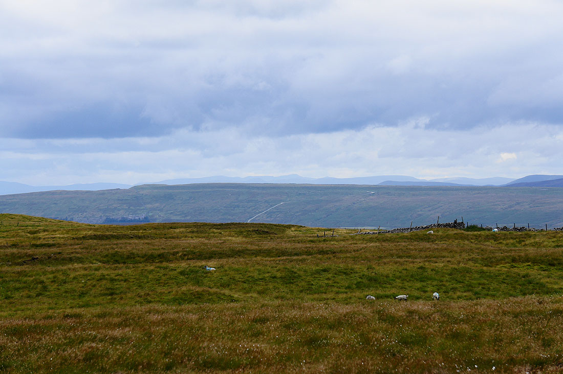
Follow the high ground to the northwest and you'd eventually arrive at the trig point on Horse Head that I visited earlier in the day
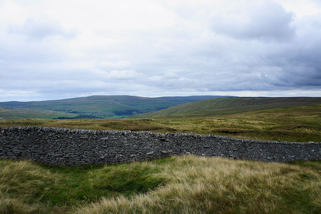
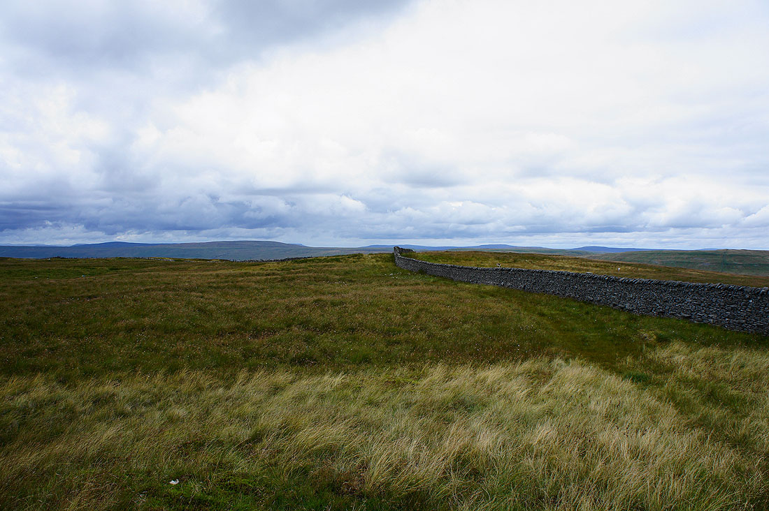
The moors above Malham beyond the wall
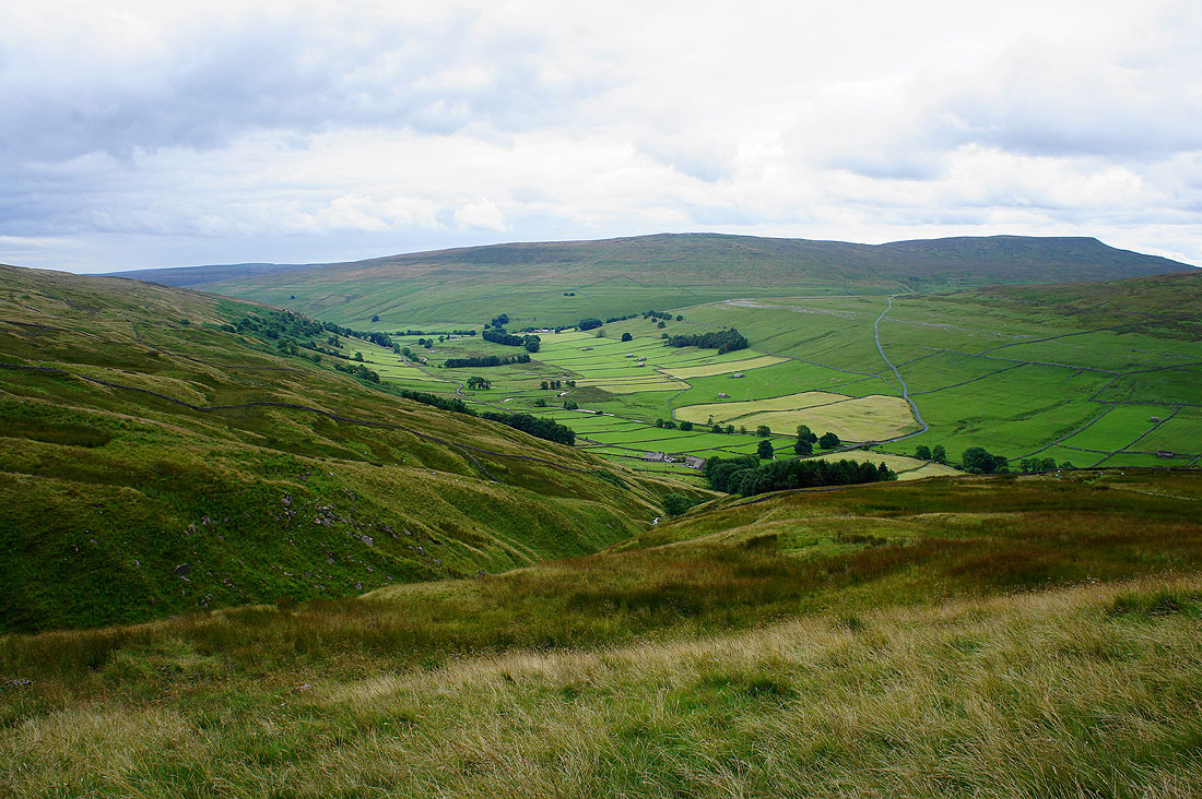
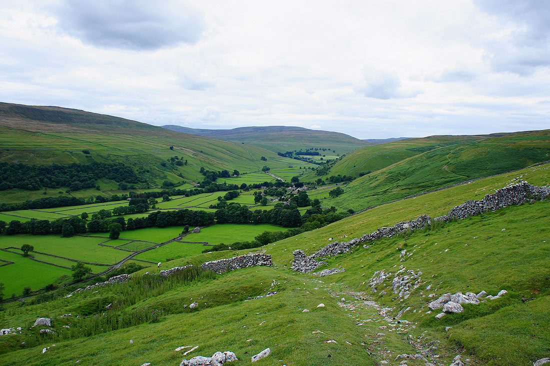
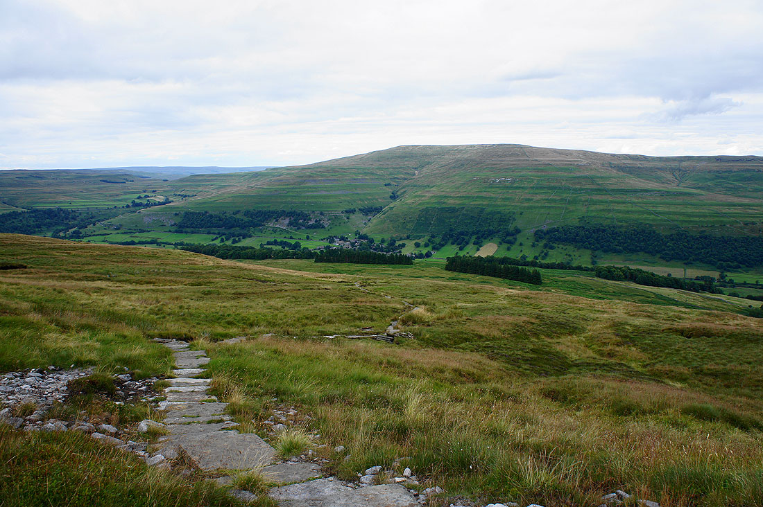
Heading down into Wharfedale..
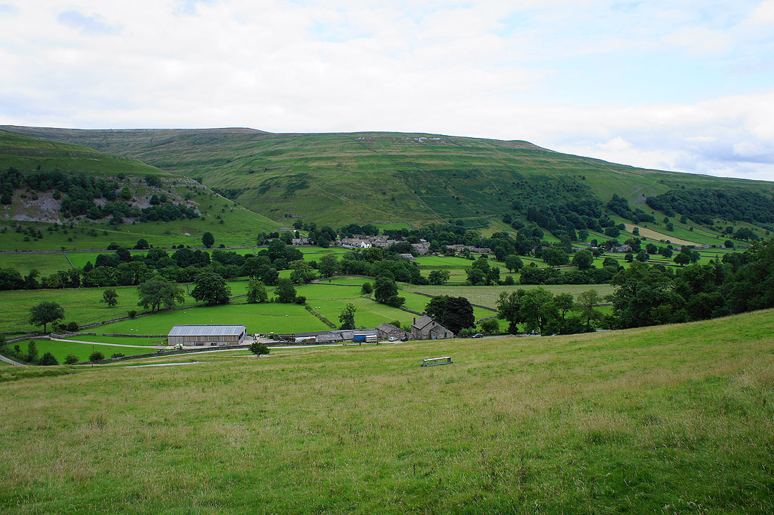
..bound for Buckden
