10th December 2016 - Pendle Hill
Walk Details
Distance walked: 7.0 miles
Total ascent: 1266 ft
OS map used: OL21 - South Pennines
Time taken: 4 hrs
Route description: Barley-Lower Ogden Reservoir-Upper Ogden Reservoir-Ogden Clough-Mearley Moor-Worston Moor-Downham Moor-Pendle Hill-Pendle House-Pendle Way-Barley
Not my favourite ascent of Pendle Hill this year. I'd agreed with my younger brother Andy yesterday that we were going to do Pendle Hill from Barley and I expected better weather than we got. It wasn't long before we ascended into the cloud and unfortunately it was only when we made our way back down to Barley that we left it. At least we got some fresh air and exercise and I was pleasantly surprised at being comfortable knowing my way in the fog.
From the picnic site car park in Barley we set off by taking the access road to Lower Ogden Reservoir and then up to Upper Ogden Reservoir. We then took the path up Ogden Clough and when we'd crossed over to its western side we left it to make our way across to Mearley Moor. A walk north across boggy moorland brought us to the Scout Cairn on Worston Moor and after crossing a ladder stile we were on Downham Moor and heading for the summit. After making it to the trig point we briefly followed the Pendle Way south before taking the path down the east face to Pendle House, and from there we took the Pendle Way back to Barley.
Route map
© Crown copyright. All rights reserved. License number PU 100034184.
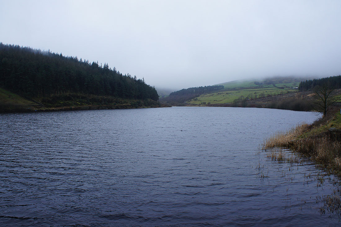
At Lower Ogden Reservoir
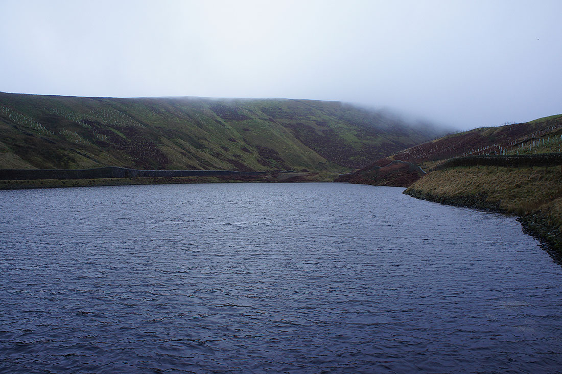
and at Upper Ogden Reservoir
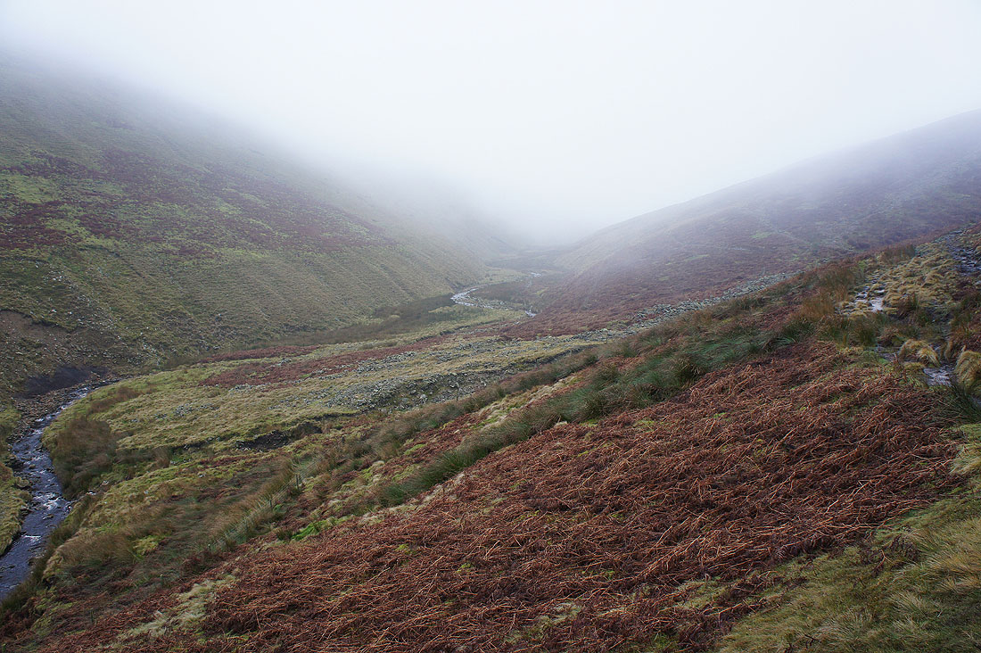
On the path up Ogden Clough and into the murk..
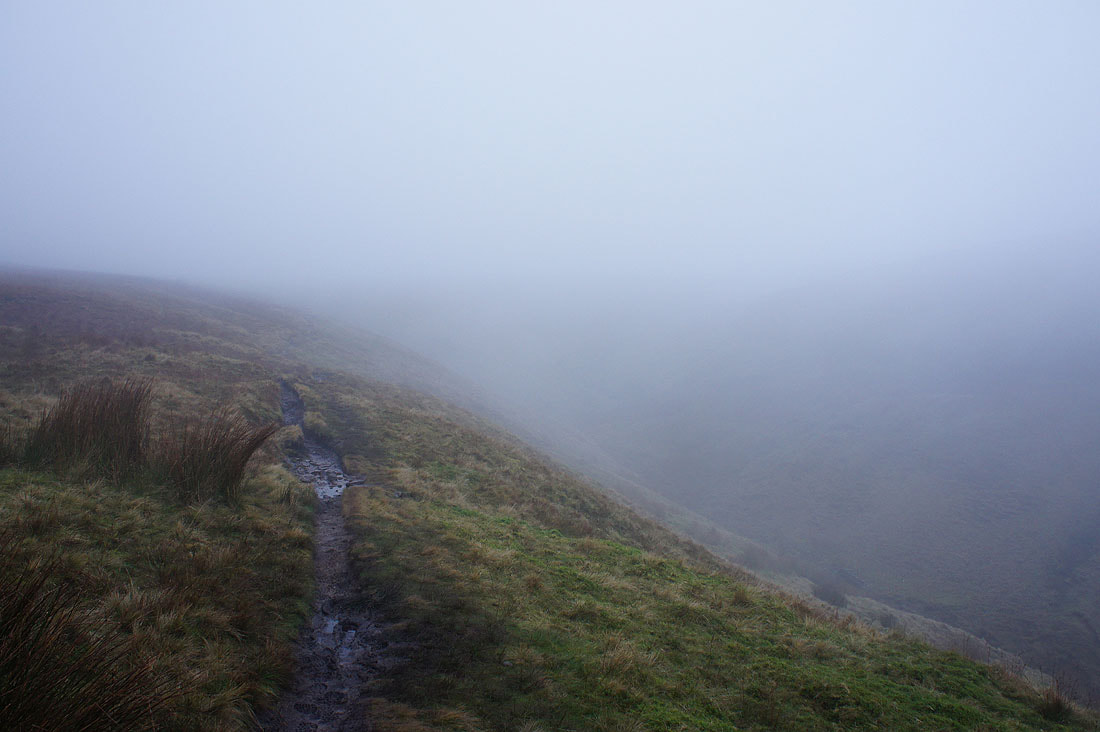
The path up Ogden Clough was left for the one towards the Nick of Pendle and then the one to Mearley Moor..
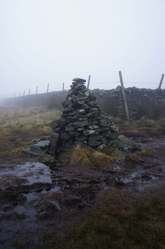
..which brought us to this cairn
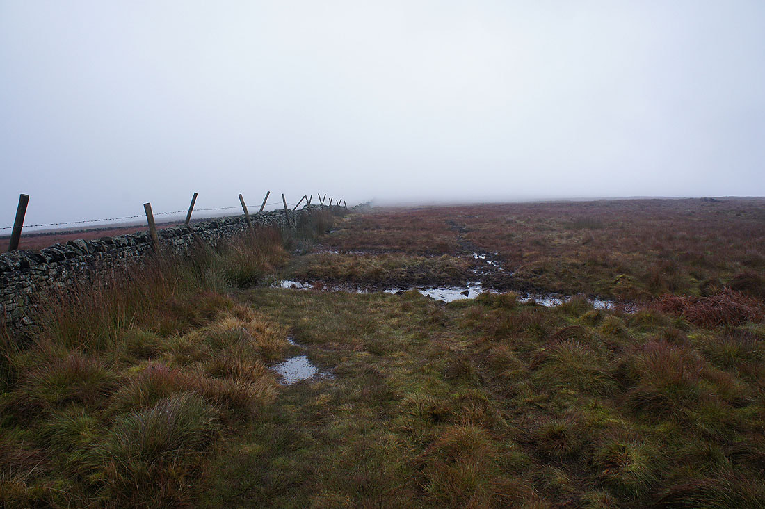
This wall will guide us east across Mearley Moor
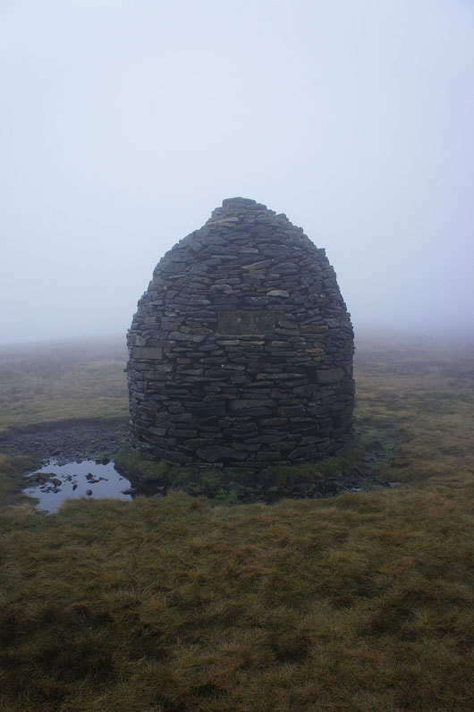
The Scout Cairn on Worston Moor
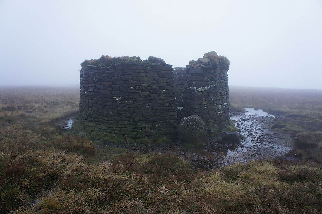
and the shelter, which was used today. For once it looked more appealing inside than it did out.
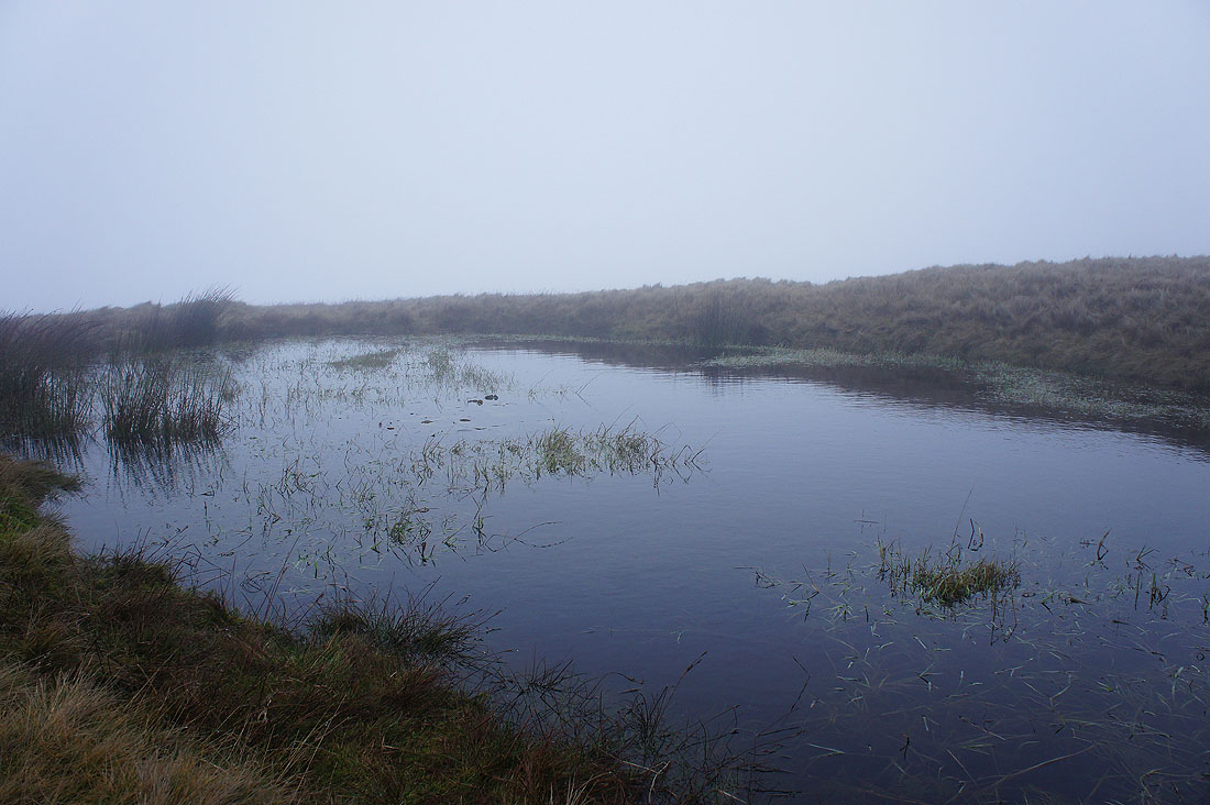
A pool on Downham Moor
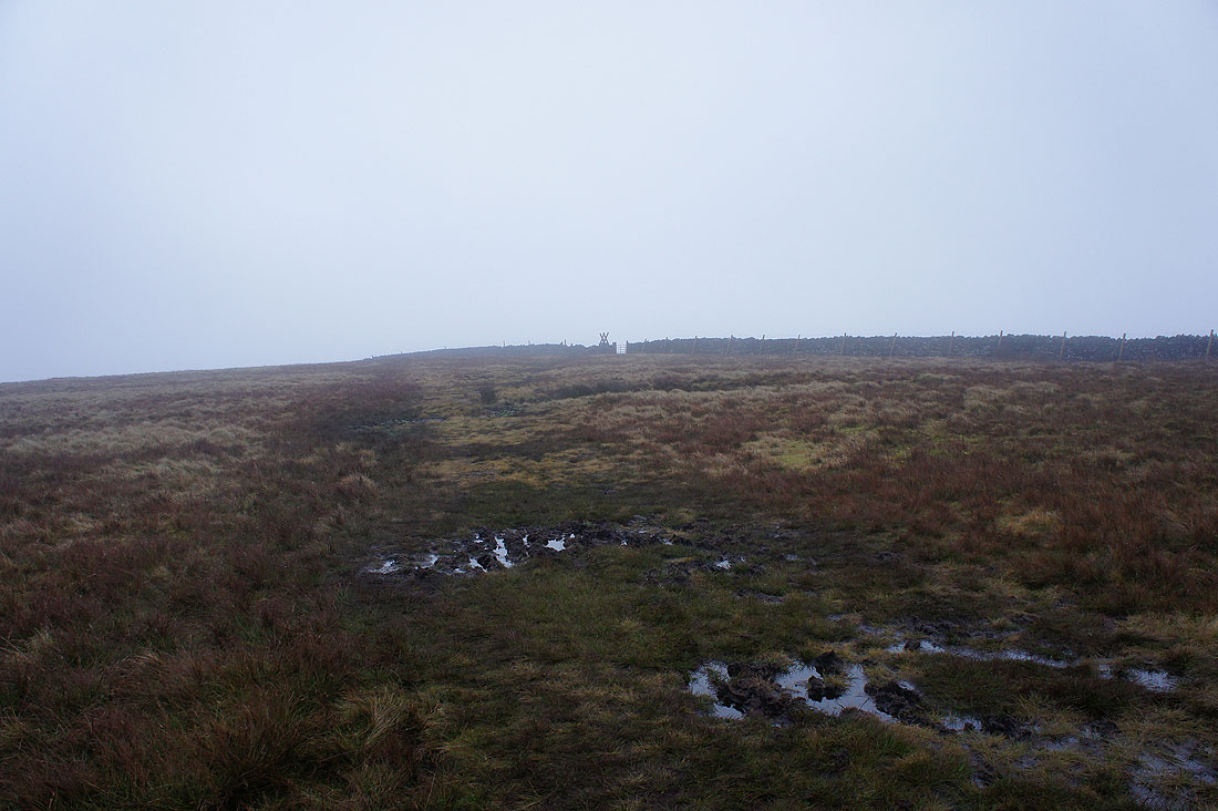
The stile to be crossed for the summit finally appears
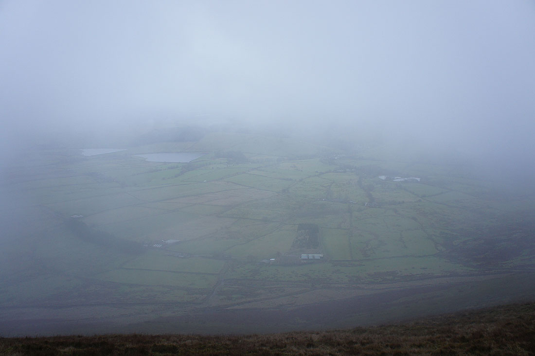
A brief glimpse of the Black Moss Reservoirs and Barley as the cloud disperses on the eastern side of the hill
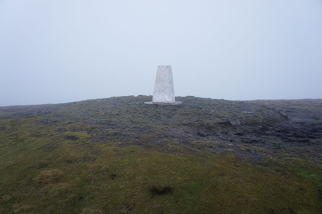
The summit trig point. There's no one hogging it today.
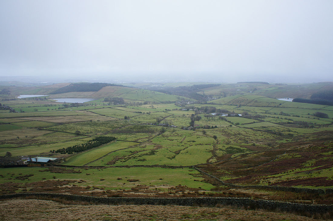
The Black Moss Reservoirs and Barley as we make it below the clouds
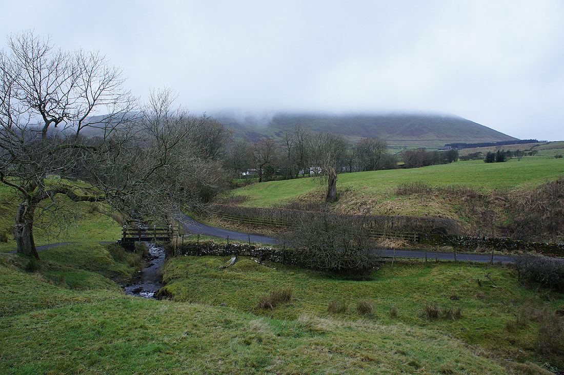
A last look at Pendle Hill on the return to Barley