10th February 2019 - Pendle Hill
Walk Details
Distance walked: 7.0 miles
Total ascent: 1012 ft
OS map used: OL41 - Forest of Bowland & Ribblesdale
Time taken: 4.5 hrs
Route description: Nick of Pendle-Pendleton Moor-Ogden Clough-Pendle Hill-Downham Moor-Worston Moor-Scout Cairn-Mearley Moor-Pendleton Moor-Nick of Pendle
Not the walk that I'd originally had planned for today but the forecast improvement in the weather took too long to show itself for me to stick with that, so I decided to do my first walk of the year on Pendle Hill. I set off from the Nick of Pendle with cloudy skies but the cloud gradually broke up more and more during the afternoon, aided by a strong, cold breeze, to make for some fantastic skyscapes.
From my starting point at one of the laybys on the road across the Nick of Pendle I made my way up onto Pendleton Moor. I kept on the path as it made its way into Ogden Clough and followed it all the way up to the trig point and summit. I then crossed the stile onto Downham Moor, followed the path west, and crossed the stile onto Worston Moor to reach the Scout Cairn. I then walked across Mearley Moor before crossing the top of Howcroft Brook to pick up the path across Pendleton Moor back to the Nick of Pendle.
Route map
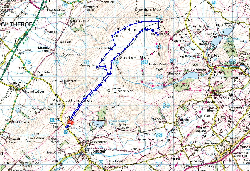
© Crown copyright. All rights reserved. License number PU 100034184.
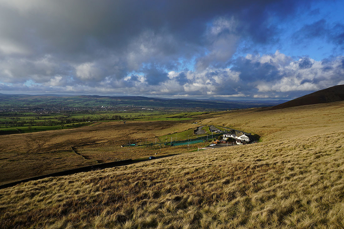
Leaving the Nick of Pendle for Pendleton Moor
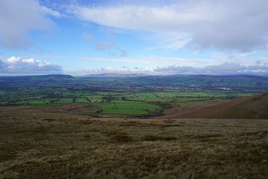
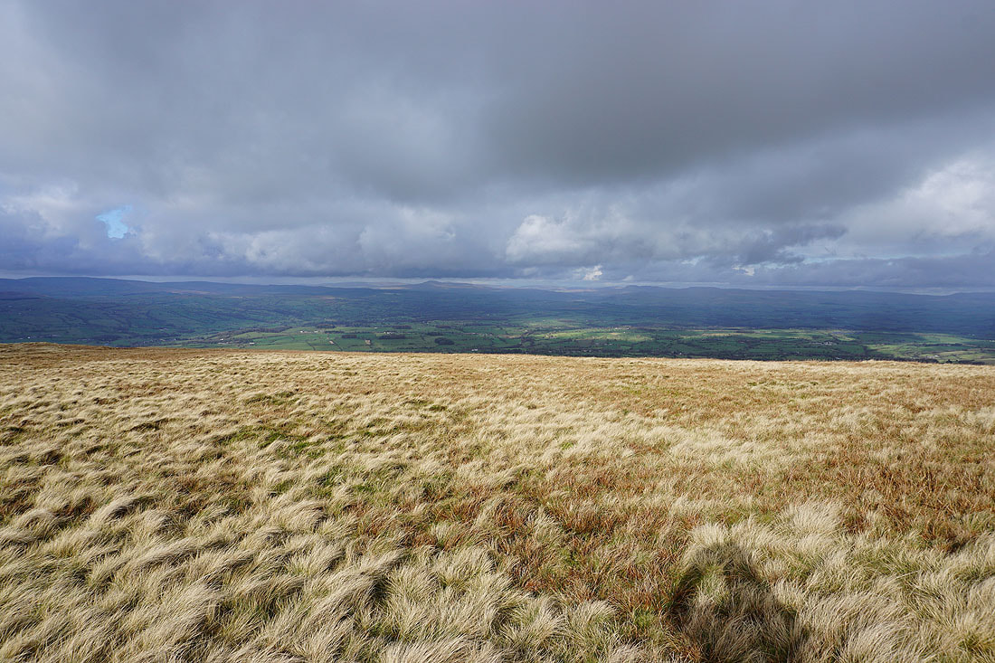
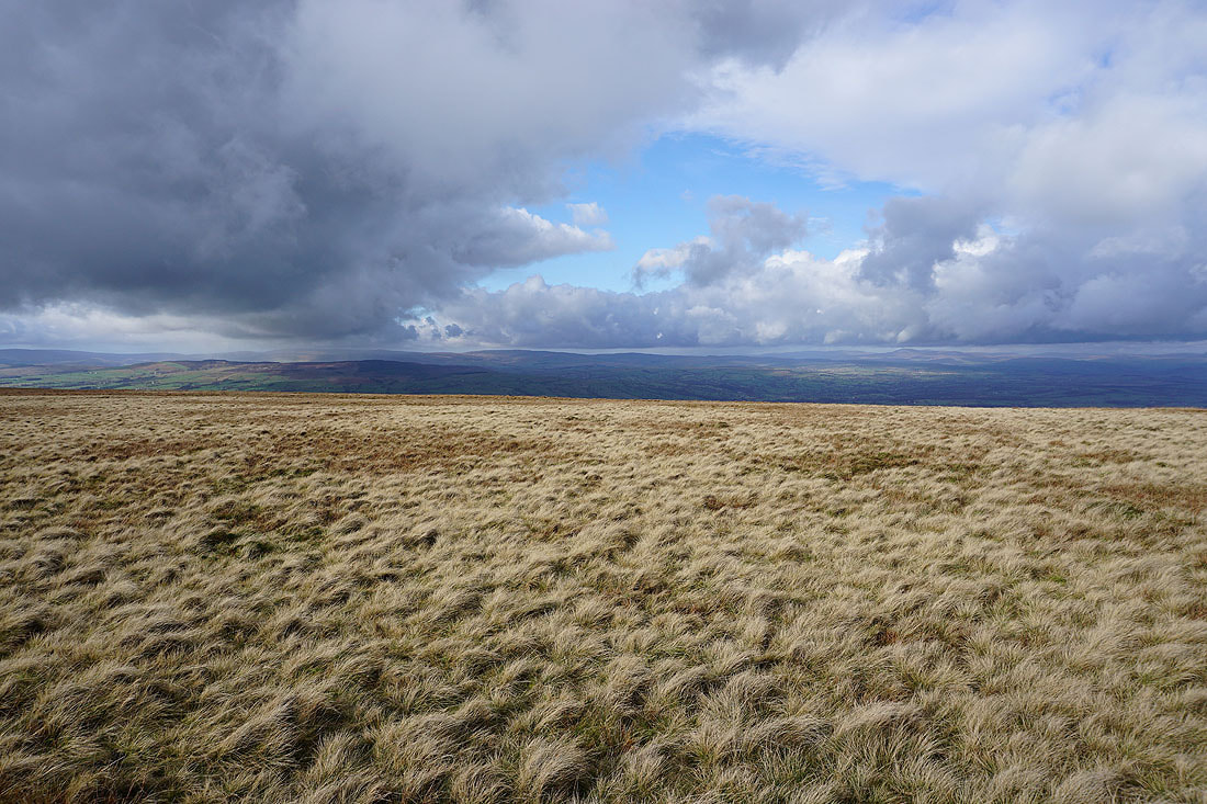
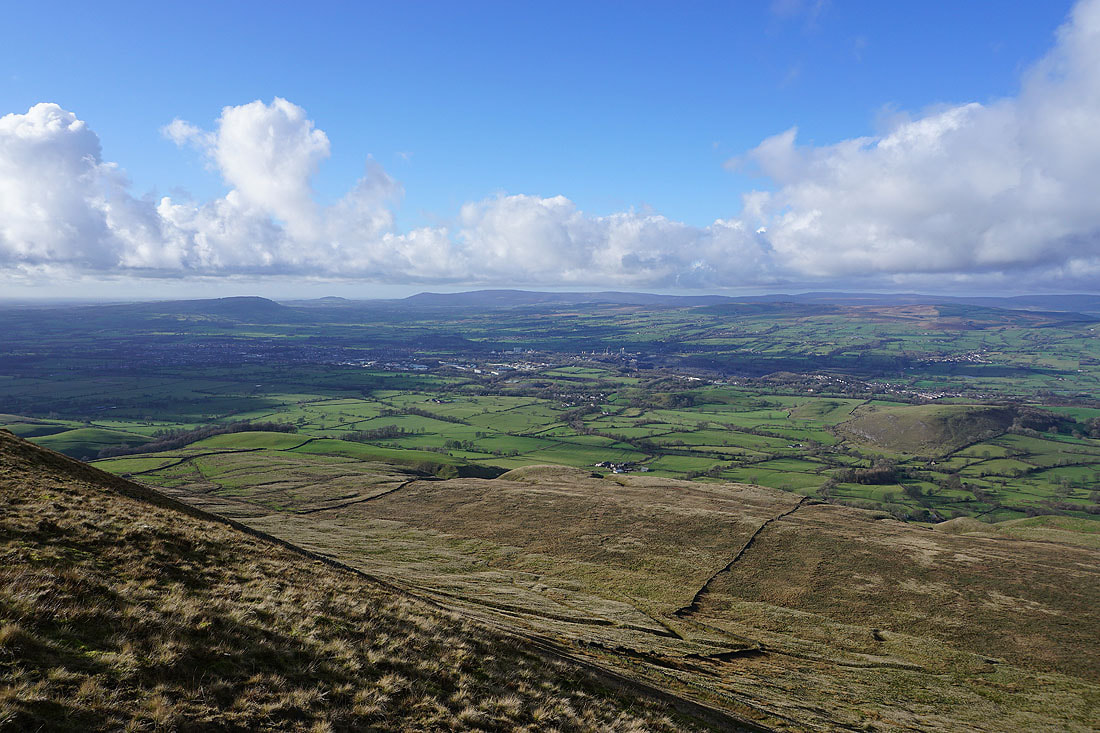
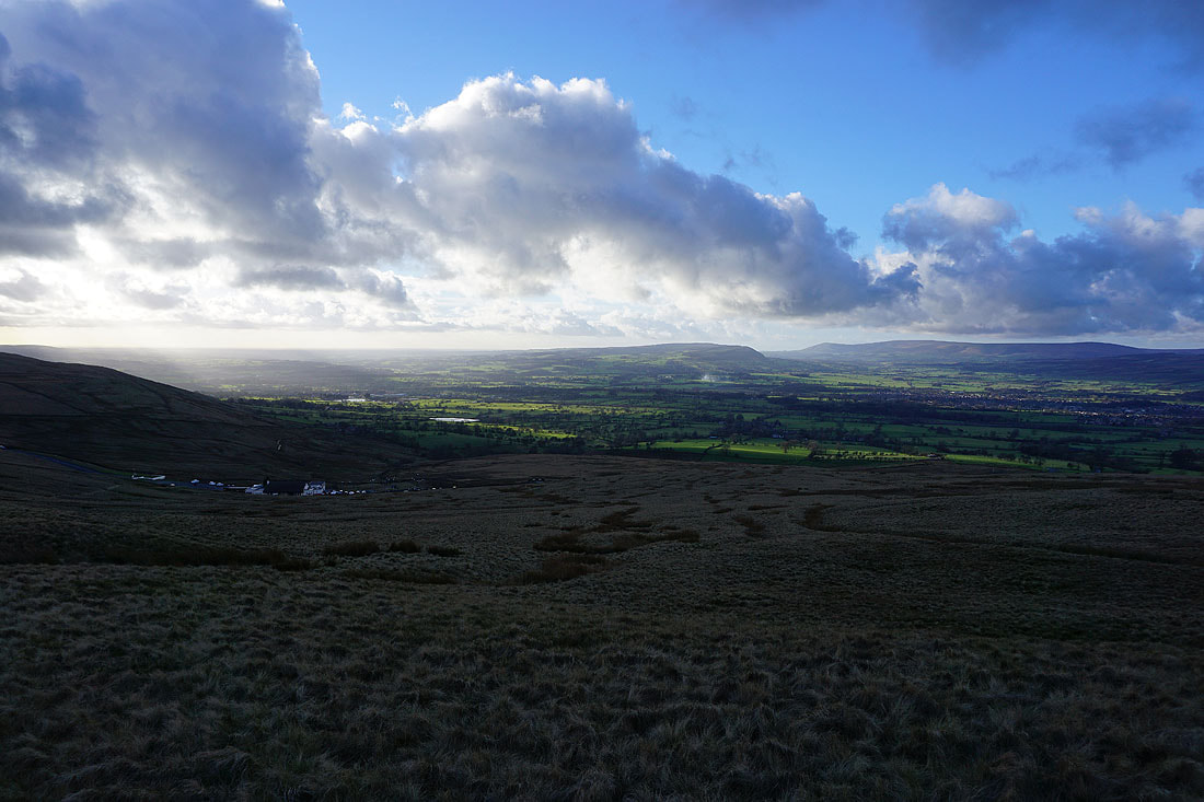
Brightening skies across the Ribble Valley to the Forest of Bowland
Looking back across Pendleton Moor to the Nick of Pendle and down the Ribble Valley towards the coast
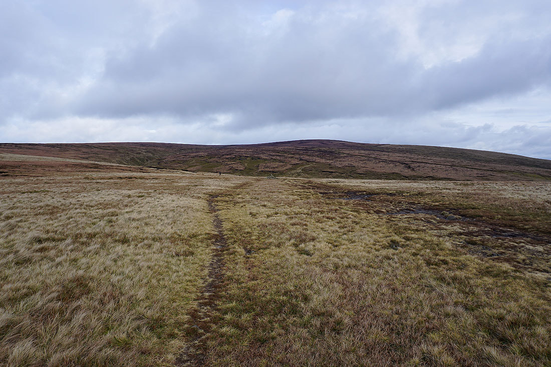
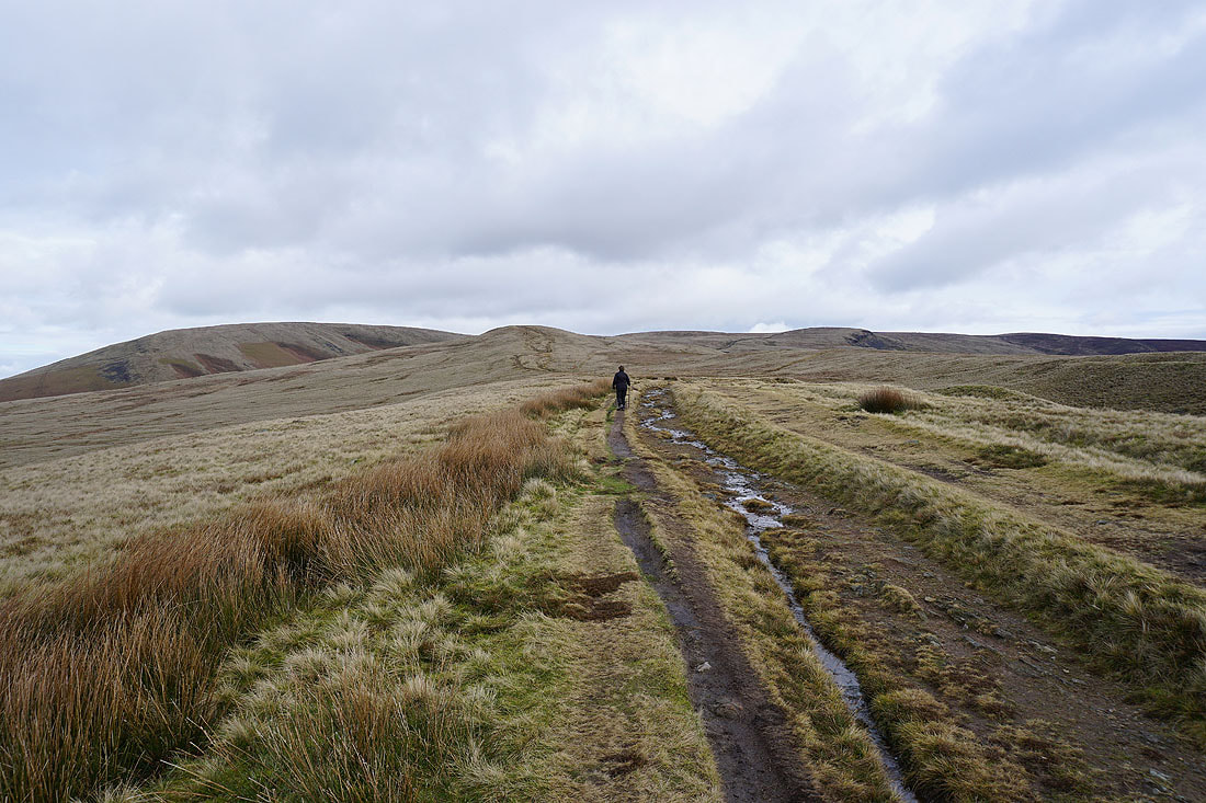
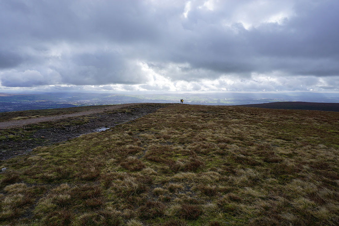
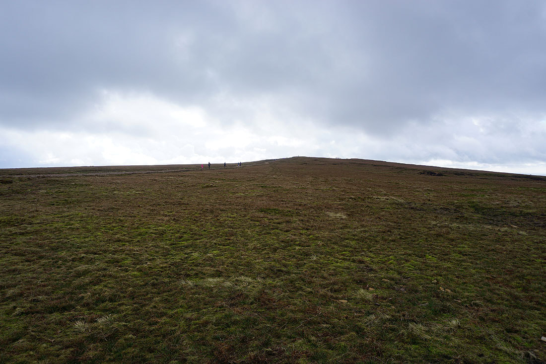
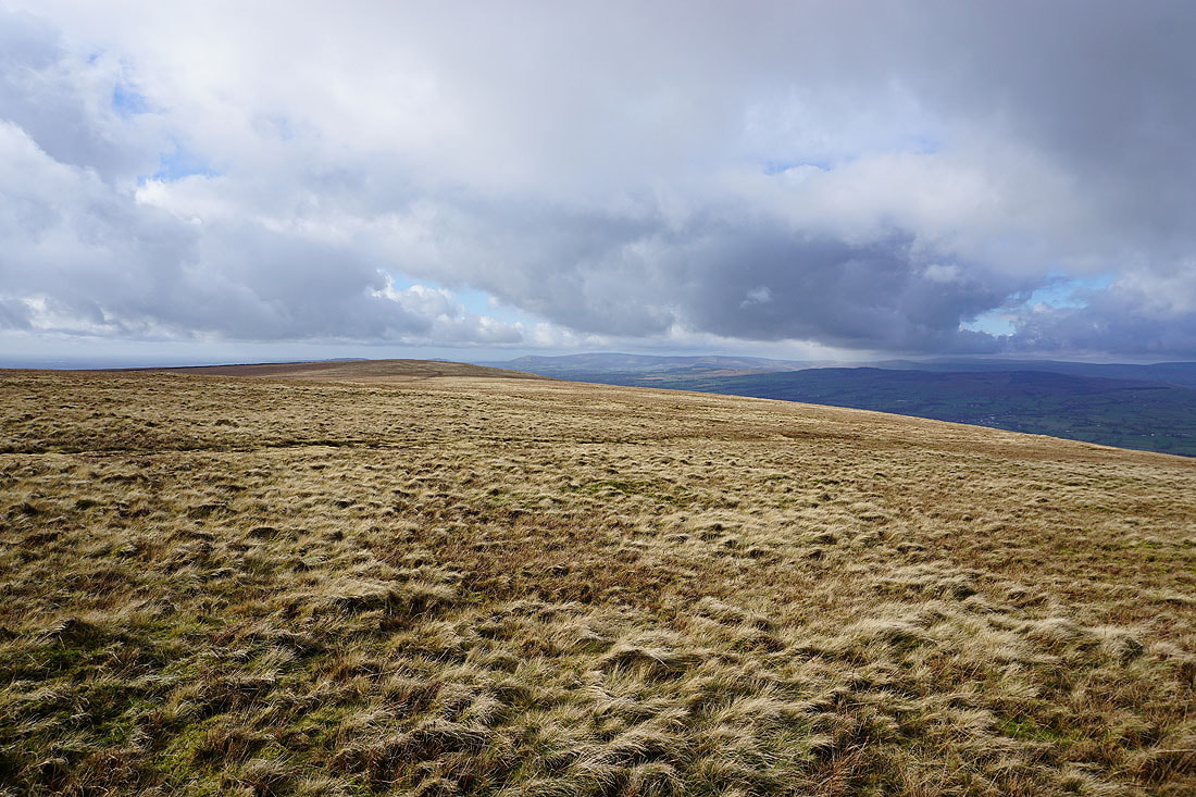
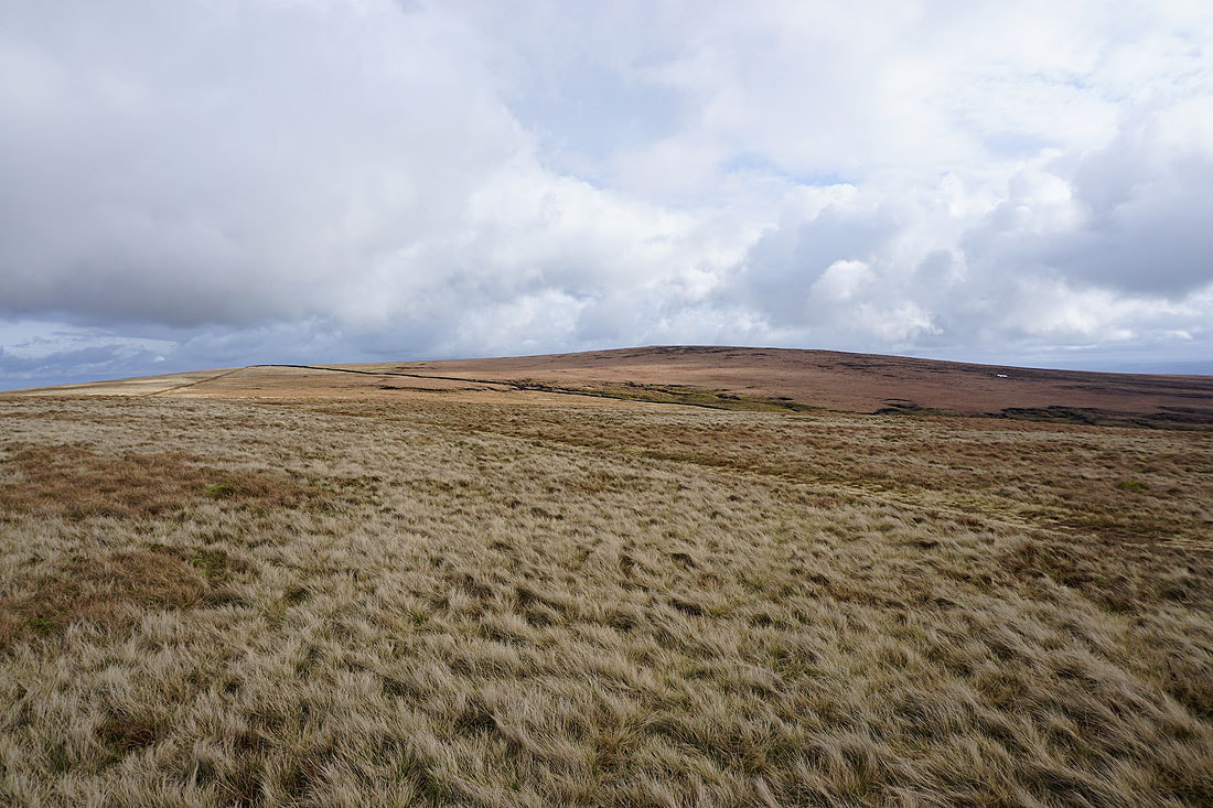
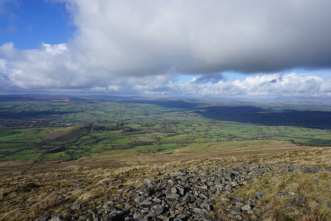
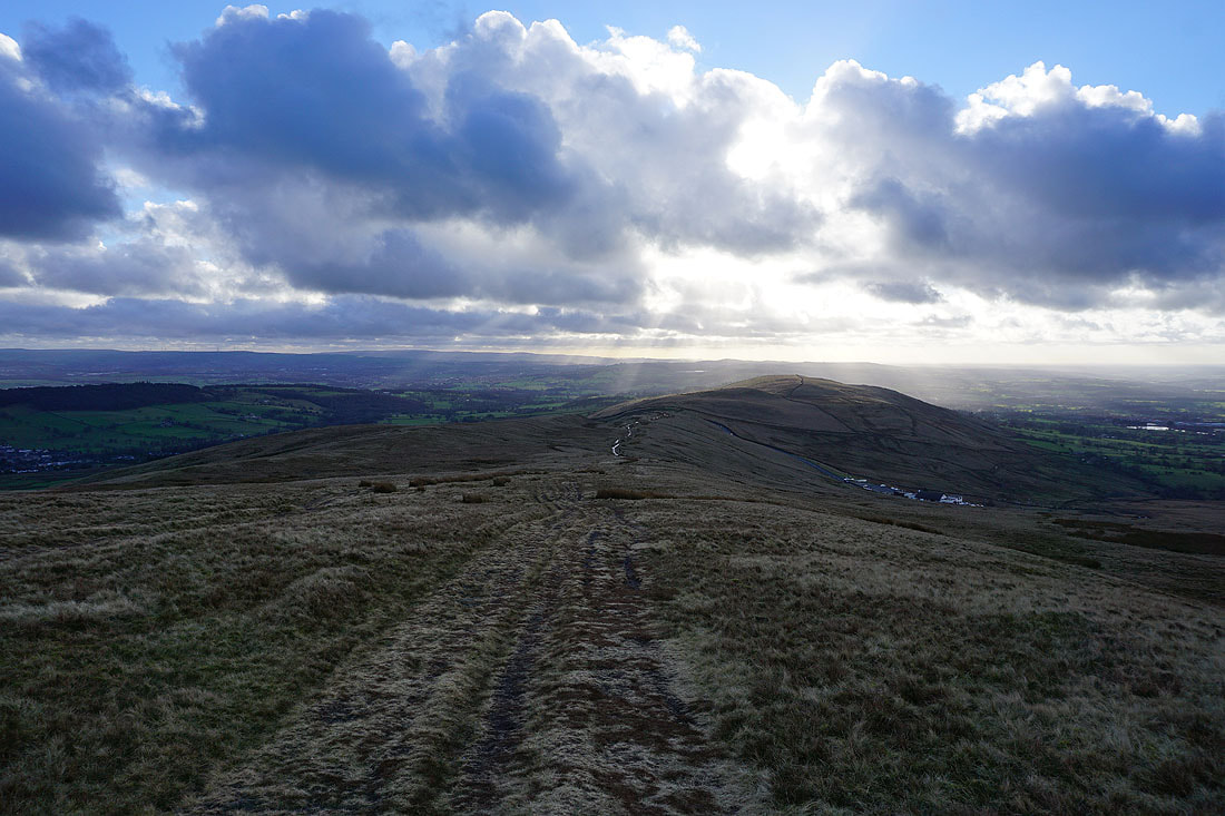
Approaching Ogden Clough and the summit is now in view
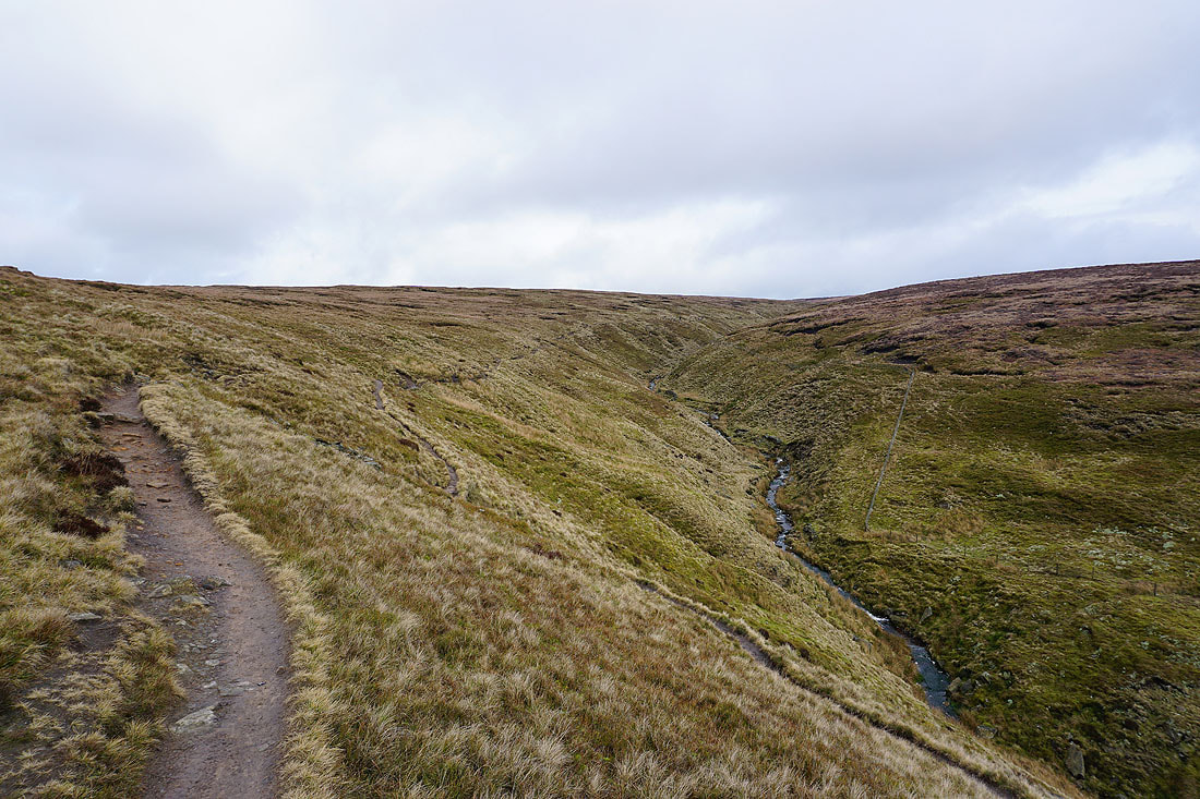
On the path up Ogden Clough
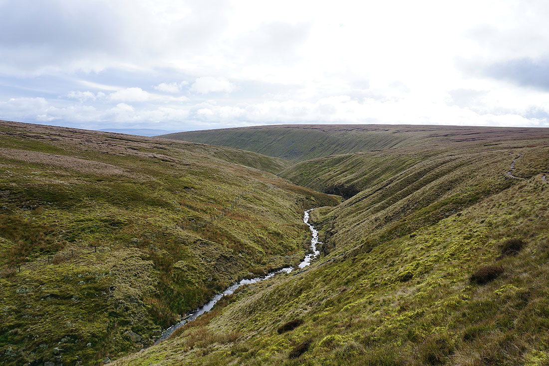
and looking back down Ogden Clough
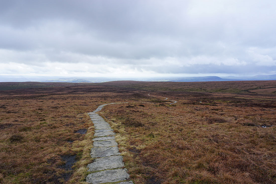
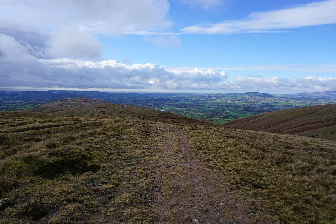
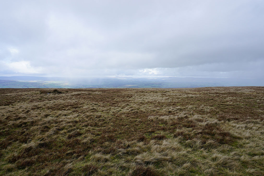
The Ribble Valley in the distance from the flagged path to the summit
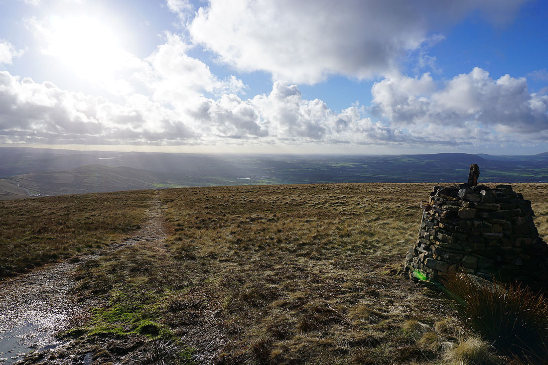
On the summit of Pendle Hill. The sun breaks through the cloud as I look towards Hameldon Hill and the West Pennine Moors.
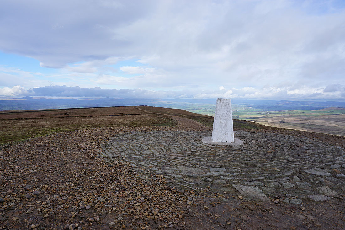
It's not often that I can take my time photographing an unoccupied trig point
The weather has improved enough for me to make out Ingleborough and Penyghent in the Yorkshire Dales
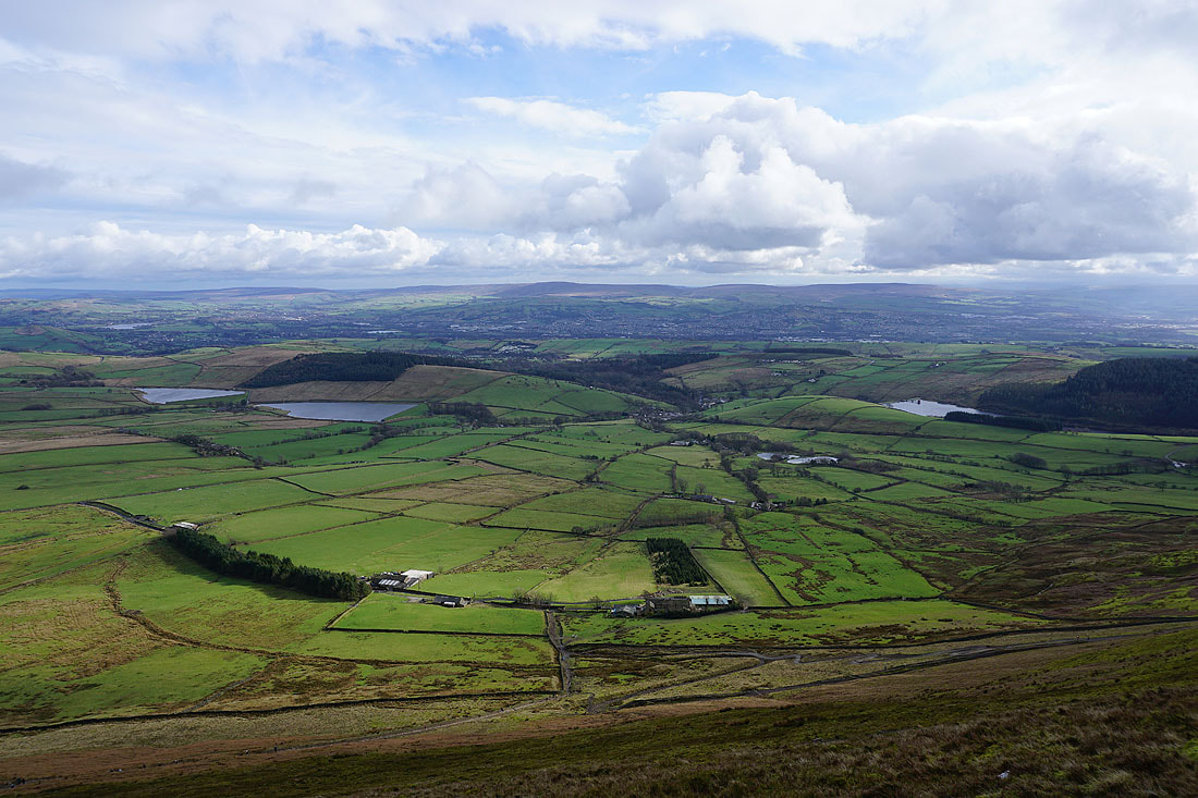
The Black Moss Reservoirs, Barley and Lower Ogden Reservoir below
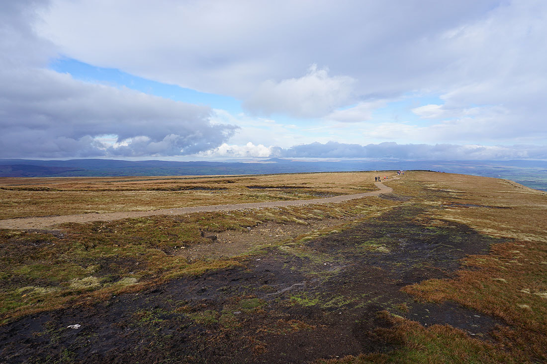
The summit from where I'm sat in the wall shelter
Dramatic skies as showers pass through nearby..
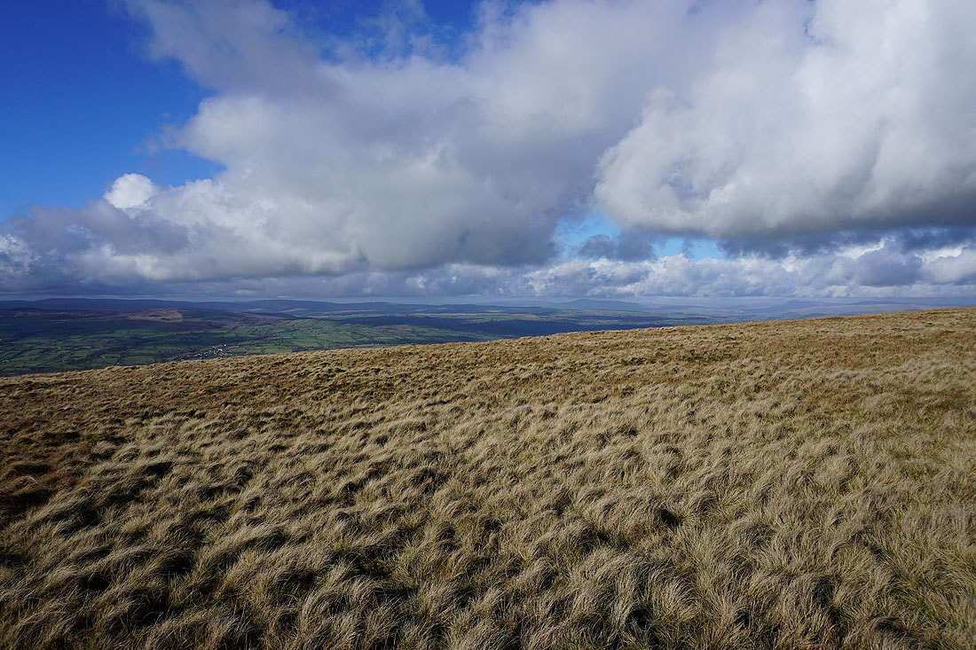
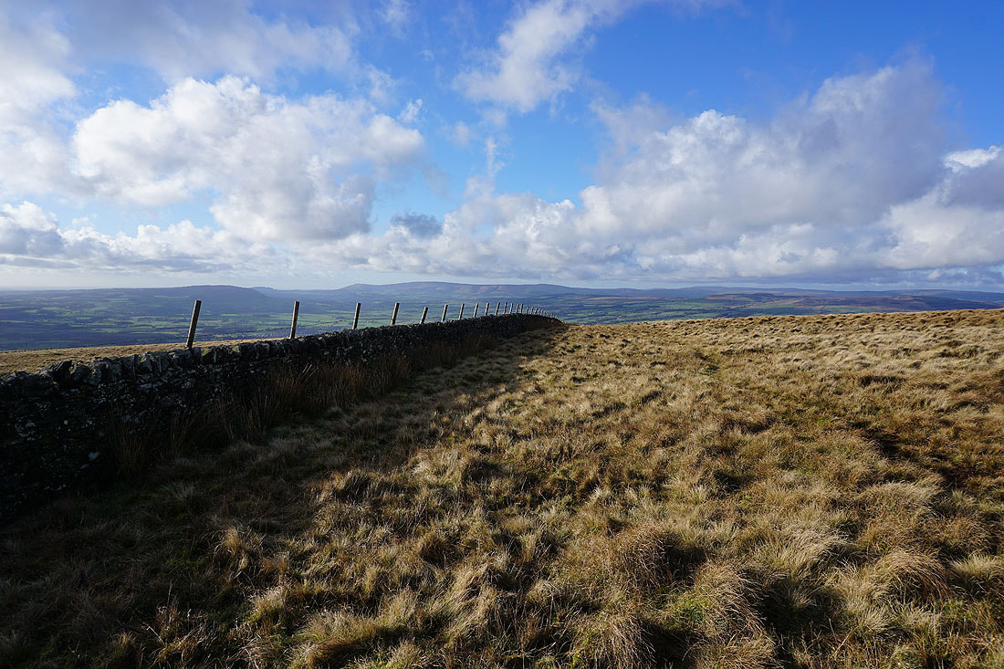
Looking east to Twiston Moor and Weets Hill
Downham Moor
Ingleborough and Penyghent in the distance in the Yorkshire Dales
and looking towards the Forest of Bowland
Great looking skies as I head west across Downham Moor...
Looking back to the summit
The West Pennine Moors in the distance beyond Spence Moor
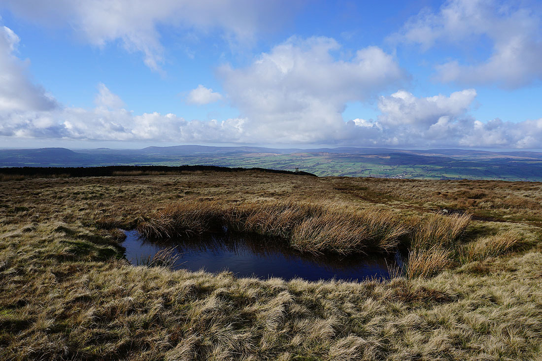
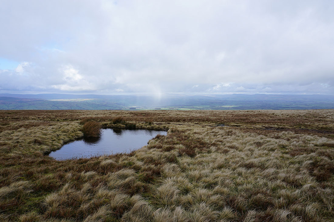
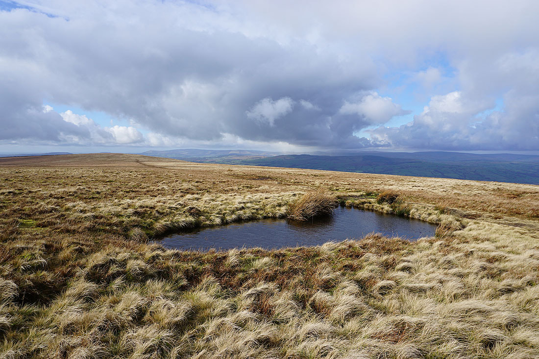
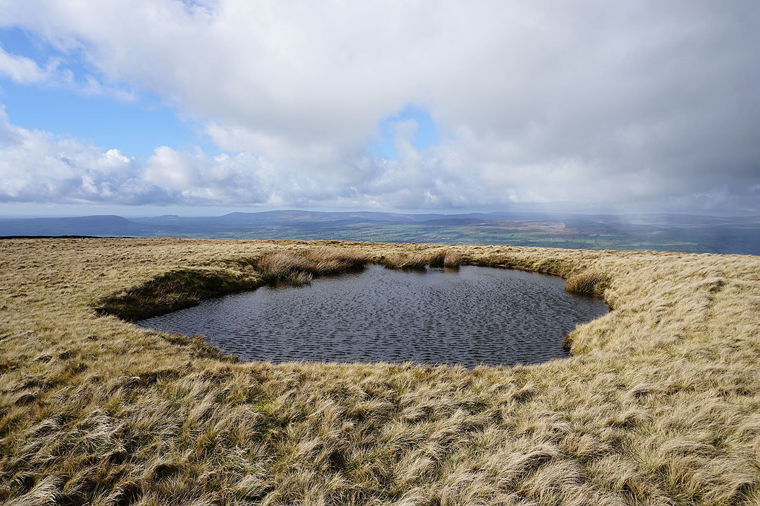
Pool as I approach the stile to cross onto Worston Moor
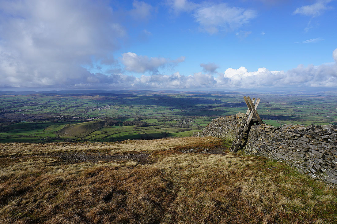
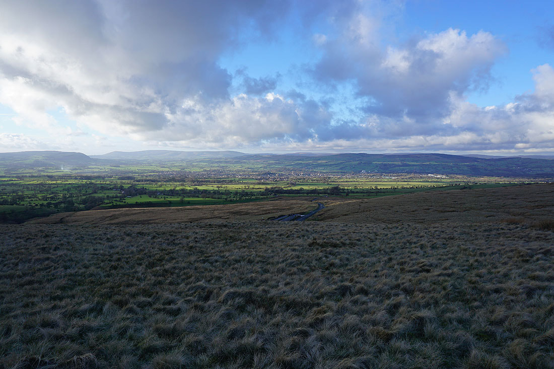
Looking across the Ribble Valley to the Forest of Bowland after crossing the stile
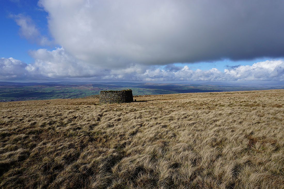
The circular shelter on Worston Moor
Looking towards the Scout Cairn
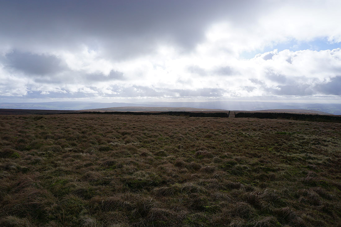
There's a great view across the Ribble Valley from this northern edge of the hill..
Couldn't resist taking another photo of the skyscape
Mearley Moor from the Scout Cairn
The Forest of Bowland..
..and then Ingleborough in the distance
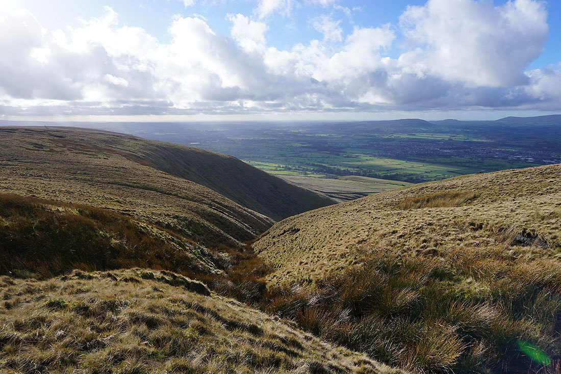
Crossing the top of Mearley Brook
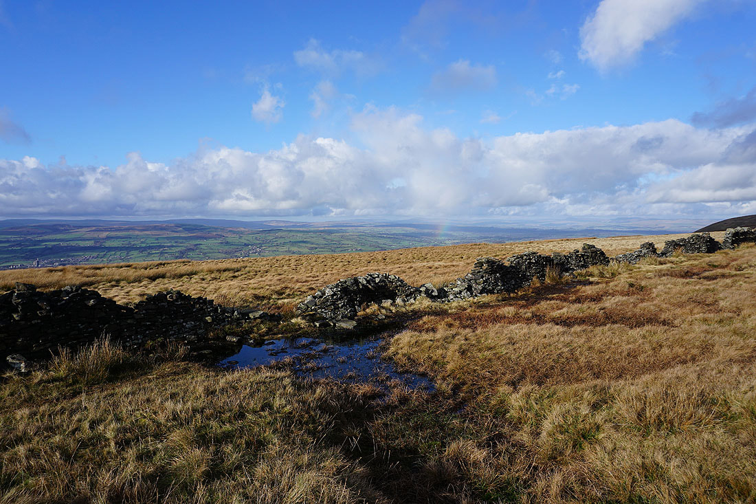
A broken wall provides a foreground for a view to distant Ingleborough and Penyghent, and there's a hint of a rainbow

Looking back to Worston Moor with the summit on the right
Longridge Fell, Parlick, Fair Snape Fell and Totridge from the wall at the end of Mearley Moor
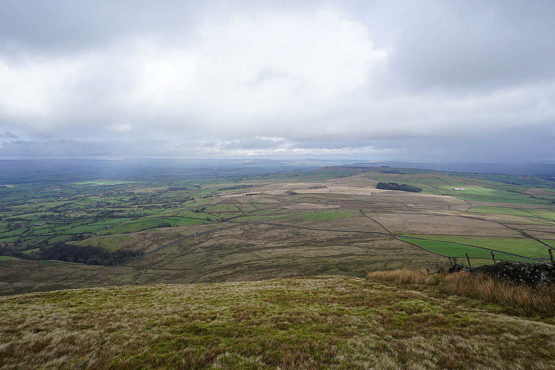
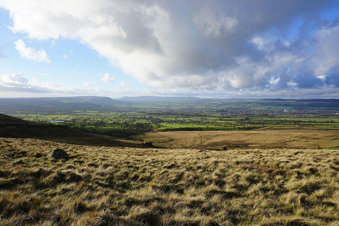
Looking southwest down the Ribble Valley from the end of Mearley Moor
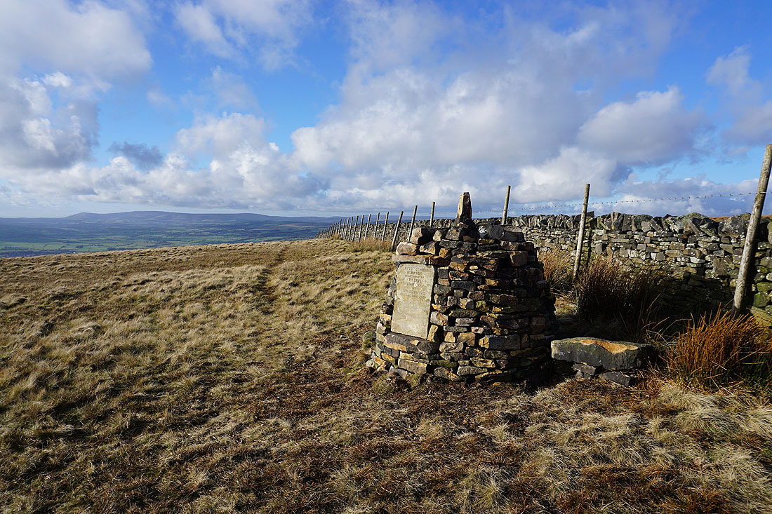
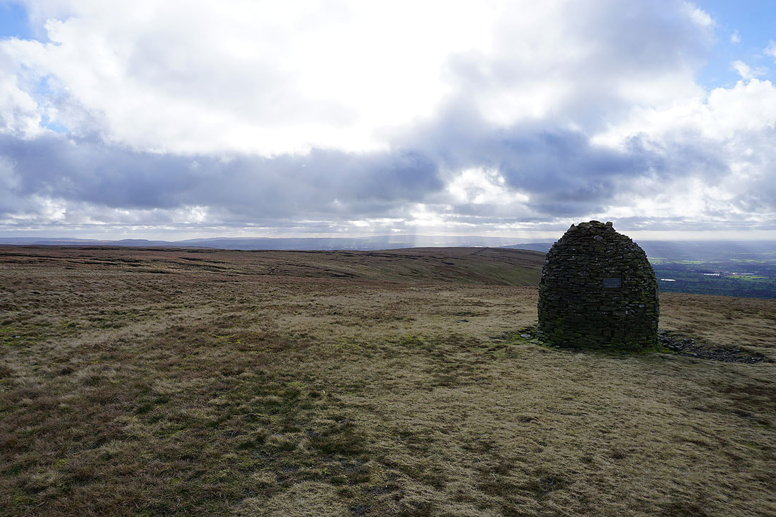
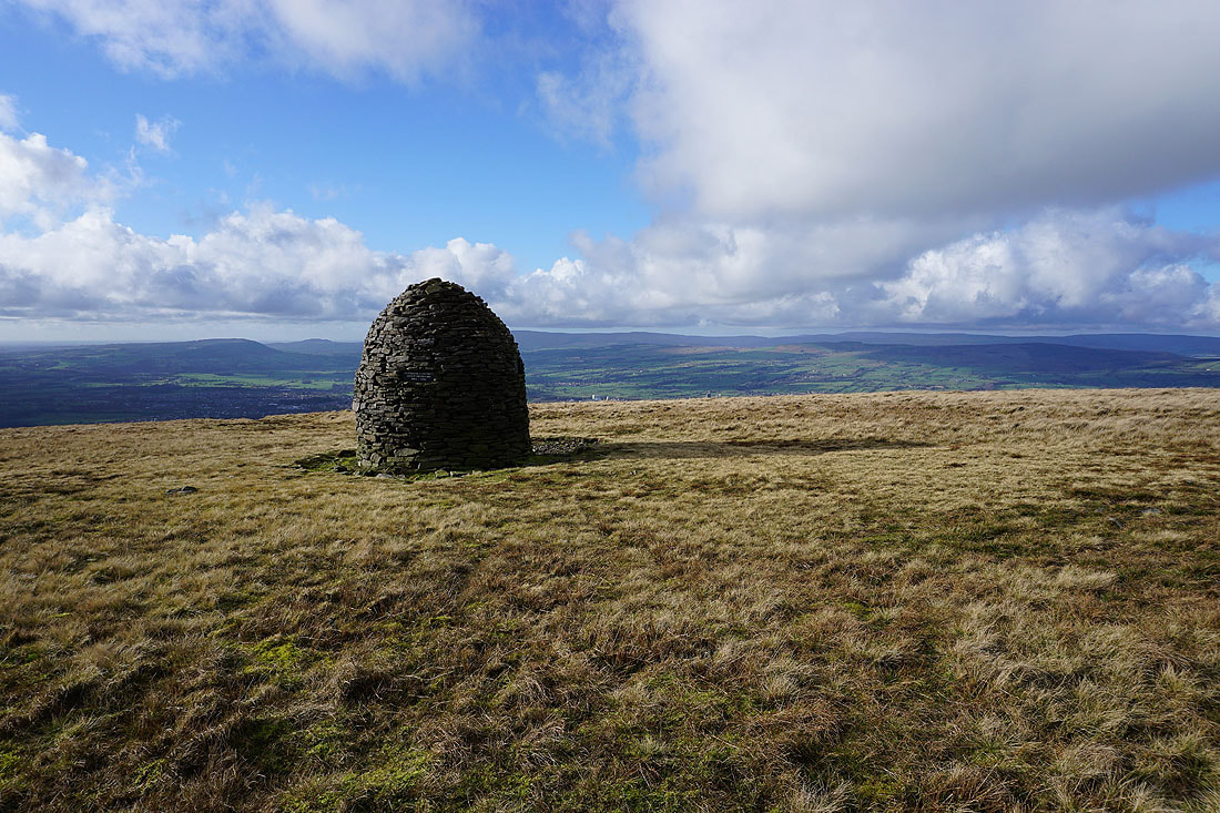
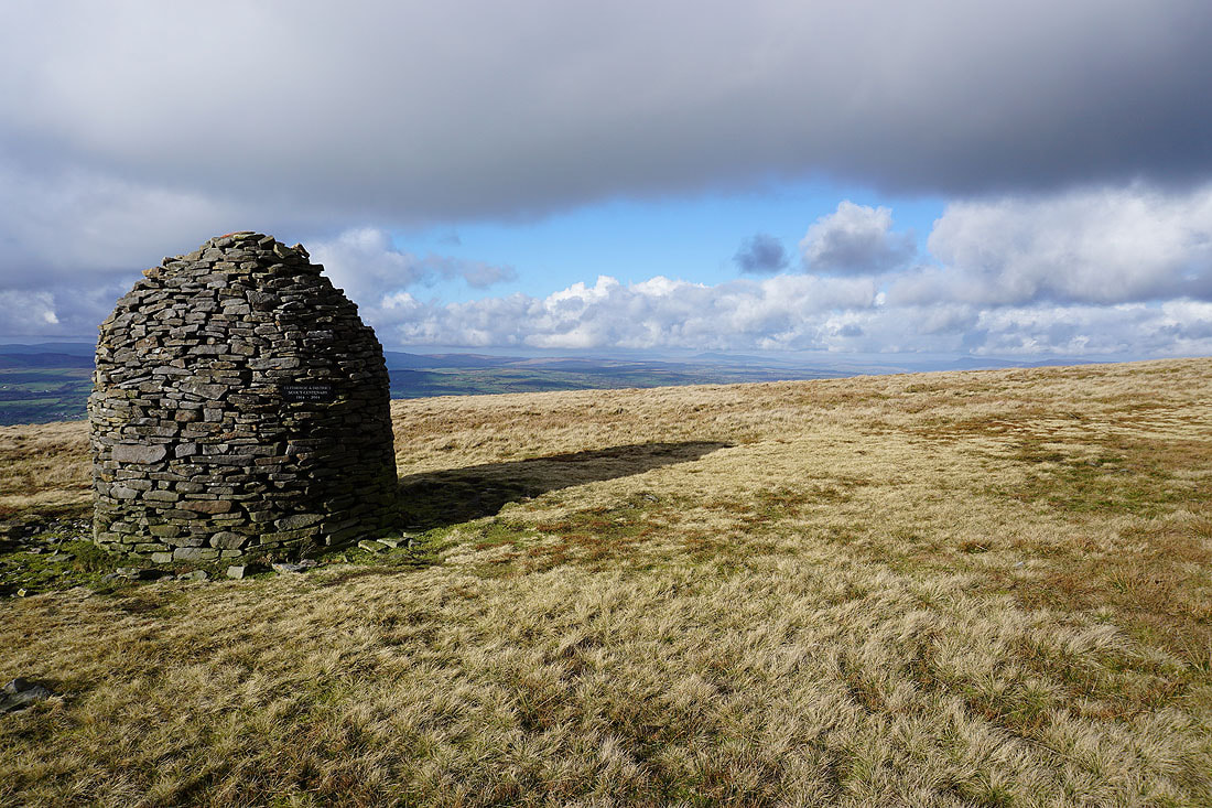
The Clayton-le-Moors Harriers memorial cairn
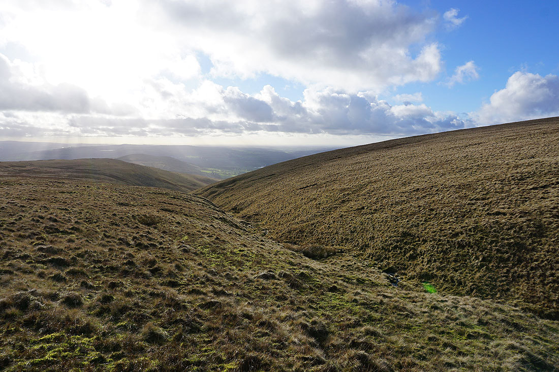
Crossing the top of Howcroft Brook
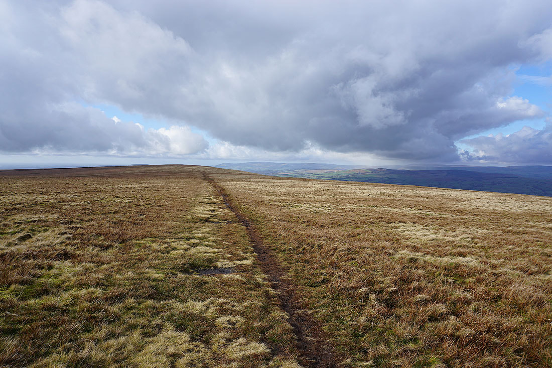
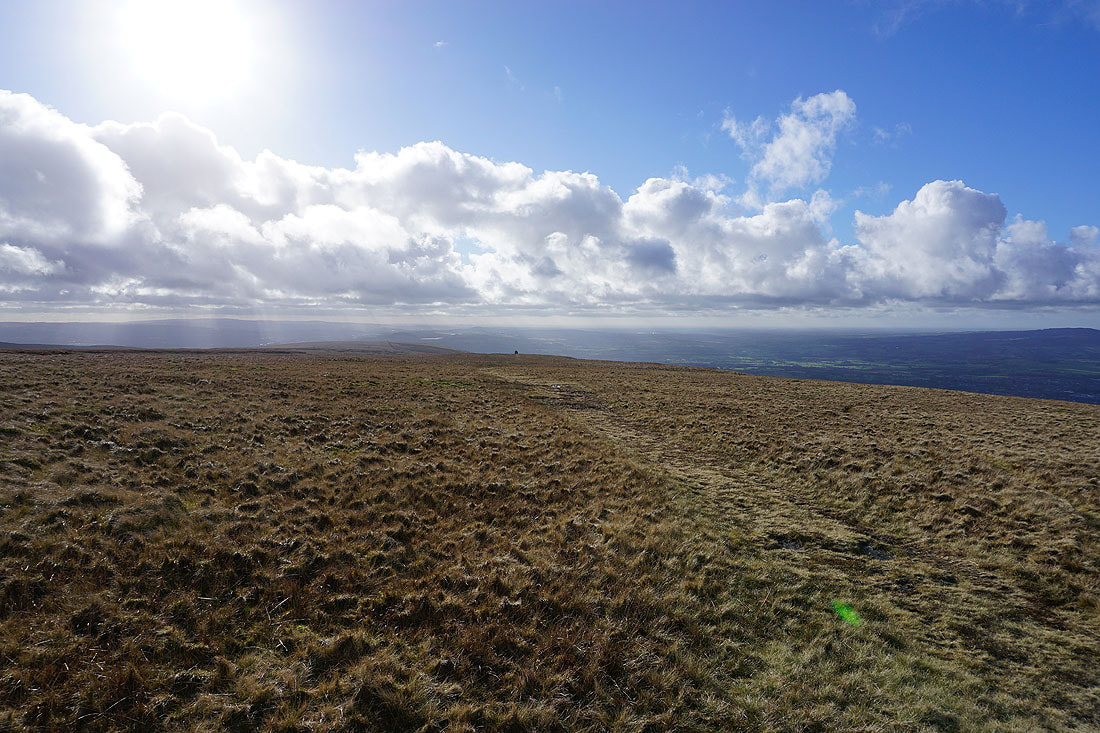
Heading across Pendleton Moor back to the Nick of Pendle
There's a fantastic combination of light and shadows cast by the lowering sun across the Ribble Valley...
My final shot is looking up the Ribble Valley with the dry slope of the Pendle Ski Club below