10th January 2016 - Cave Dale & Eldon Hill
Walk Details
Distance walked: 8.3 miles
Total ascent: 1678 ft
OS map used: OL1 - The Peak District, Dark Peak area & OL24 - The Peak District, White Peak area
Time taken: 5 hrs
Route description: Castleton-Cave Dale-Limestone Way-Bradwell Moor-Limestone Way-Old Dam Lane-Old Dam-Eldon Lane-Eldon Hill-Windy Knoll-Winnats Head Farm-Winnats Pass-Castleton
When I looked outside first thing this morning I would have found it hard to believe that it would turn into such a nice day. Overcast skies, strong winds and some snow on the hills made it look very bleak but it was forecast to brighten up and turn milder, with the best of the weather to the south in the Peak District. So I put my trust in the forecast and set off for Castleton to do the walk that I had planned. The sun was out by the time I reached Castleton and for the most part it was a lovely winters day for walking; sunny spells, mild for the time of year but windy. My route covered a mix of old and new ground, I particularly enjoyed the views from the trig point on the top of Bradwell Moor and from Eldon Hill.
I started by parking in one of the numerous spaces on what was the old A625 just outside Castleton. Much to my delight I discovered that all the parking meters were out of action. First, I walked into Castleton and then right up Castle Street past The George pub, then left past the war memorial to Pindale Road where Cave Dale can be reached with the start of the Limestone Way. I then followed the Limestone Way up and out of Cave Dale, across Old Moor and to the top of Bradwell Moor where I left it briefly to visit the trig point. I kept on the Limestone Way on the way down from Bradwell Moor and only left it when I reached the end of Old Dam Lane. A walk along Old Dam Lane brought me to the hamlet of Old Dam, then straight on onto Church Lane. I soon turned right onto Eldon Lane, I followed this uphill and onto the bridleway it becomes, onto Eldon Hill with a visit to Eldon Hole before I reached the summit cairn. I left Eldon Hill by making my way back to the bridleway to reach another bridleway where I turned right, at a junction of paths I took the one that heads across the moor to the road above the Winnats Pass. To keep off the road I took the path over Windy Knoll and then across to Winnats Head Farm. My walk finished with a walk down the Winnats Pass to the car park for the Speedwell Cavern where a footpath goes across to the road I was parked on.
Route map
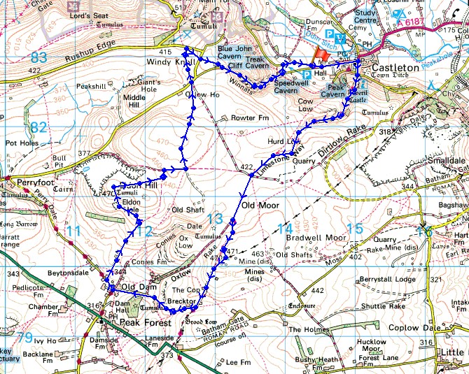
© Crown copyright. All rights reserved. License number PU 100034184.
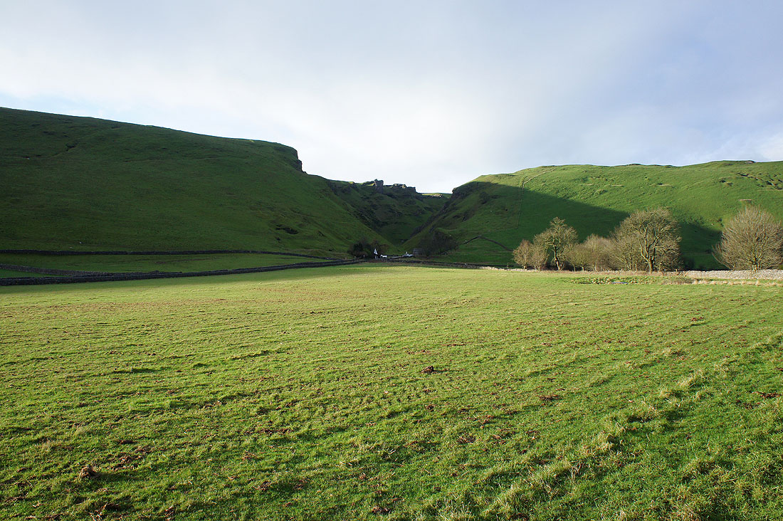
The Winnats Pass from where I'm parked by the road just outside Castleton

and looking back with Mam Tor on the right
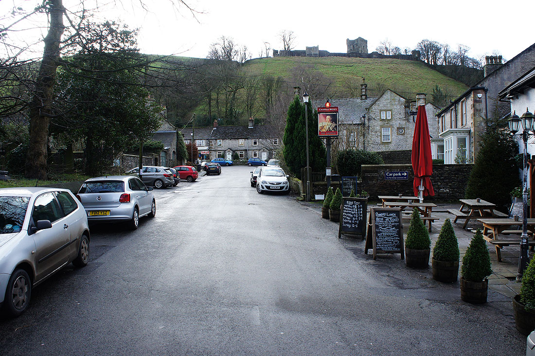
Walking through Castleton to Cave Dale. I can see the ruins of Peveril Castle on the hillside above.
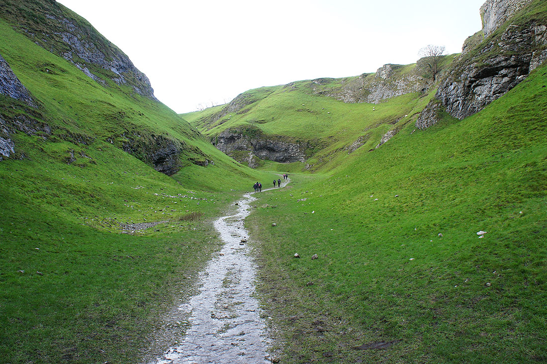
Making my way up Cave Dale and on the Limestone Way
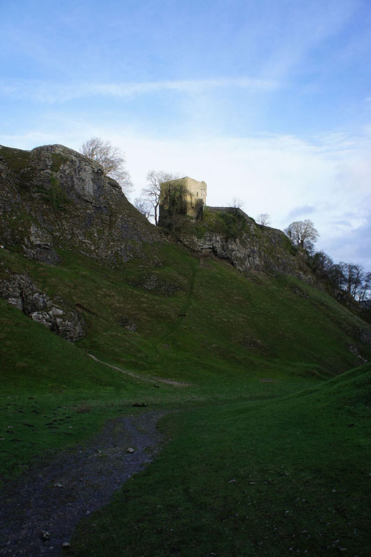
The top of Peveril Castle catches the morning sun
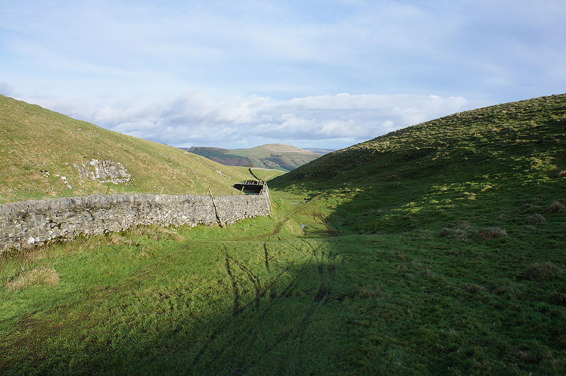
Looking back as I near the top of Cave Dale, Lose Hill in the distance.
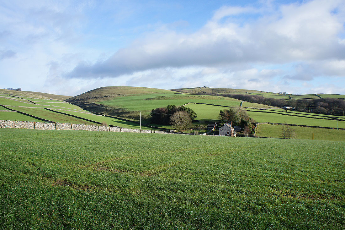
Good to reach more open country and out into the sun
Another look back and the cone of Win Hill can now be seen
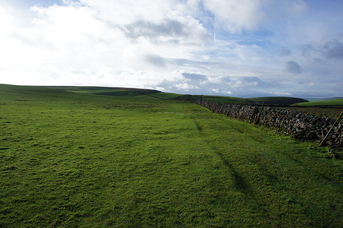
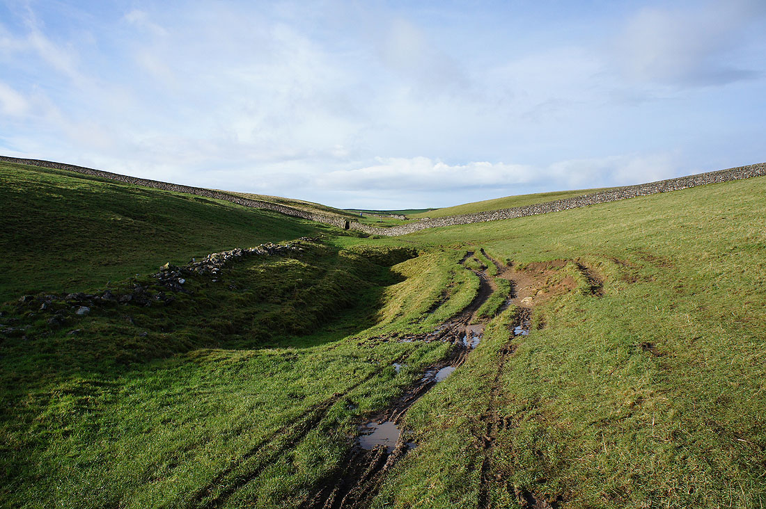
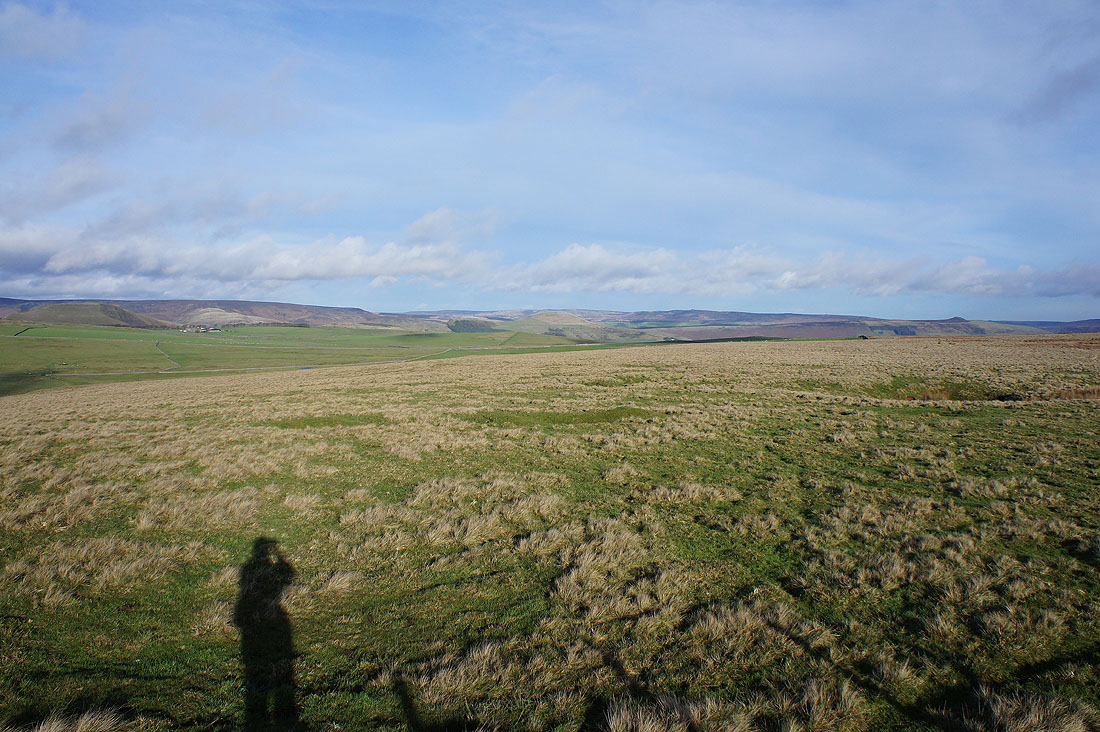
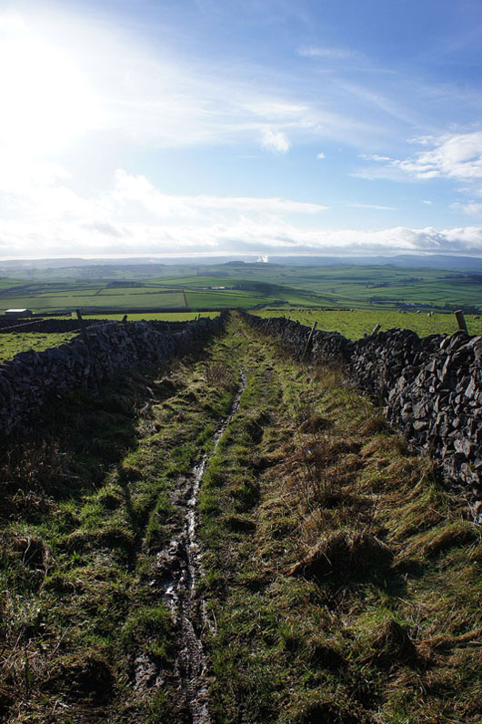
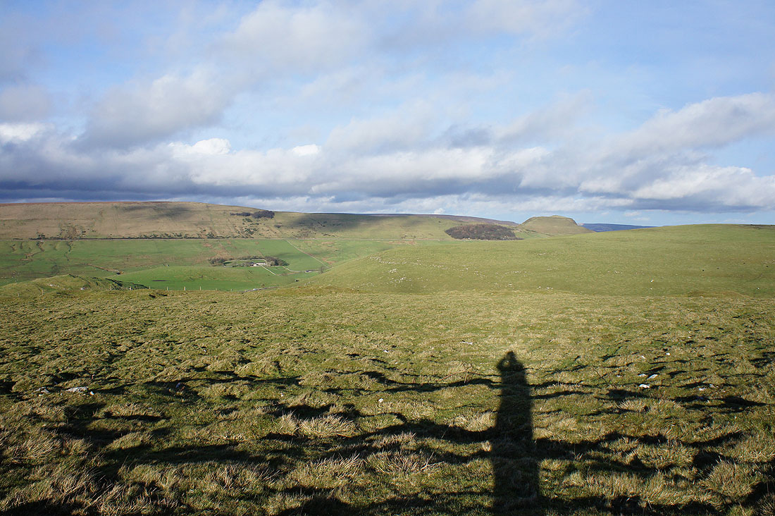
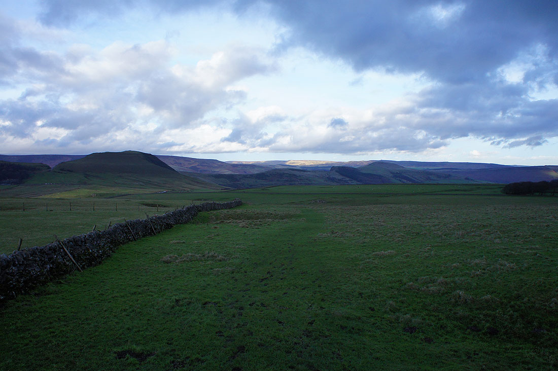
The way ahead. I'm going to leave the Limestone Way for the top of the hill on the left. There's a trig point up there that marks the top of Bradwell Moor.
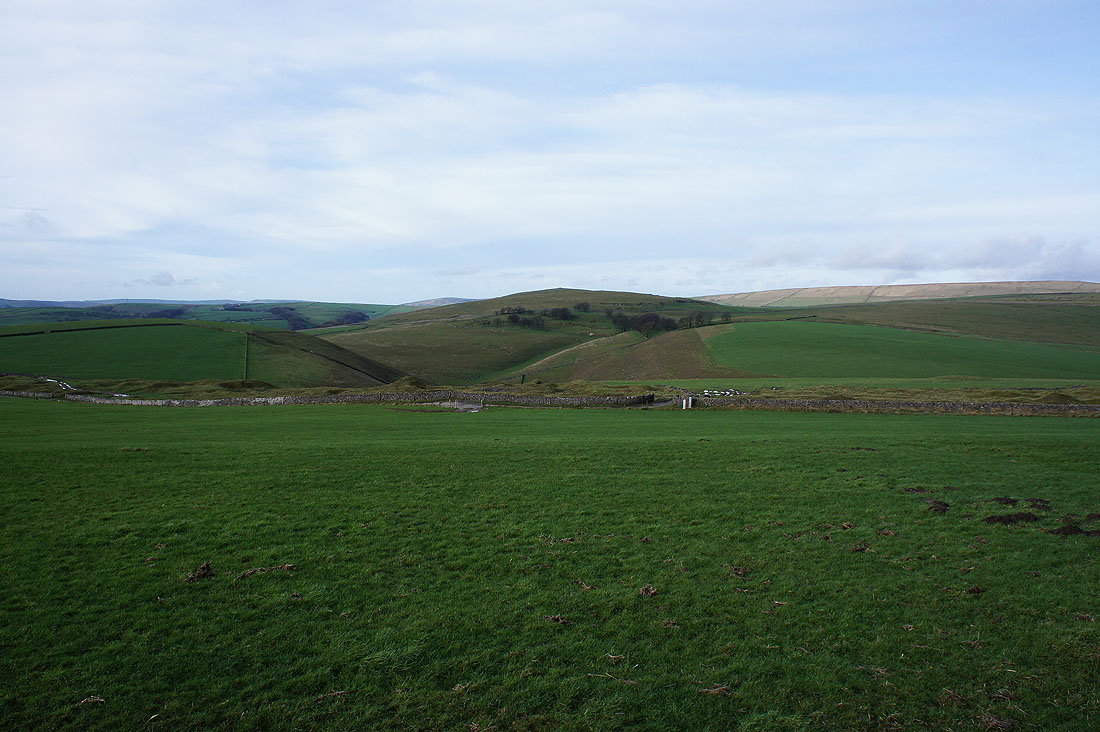
Eldon Hill. I'll be up there later in the day.
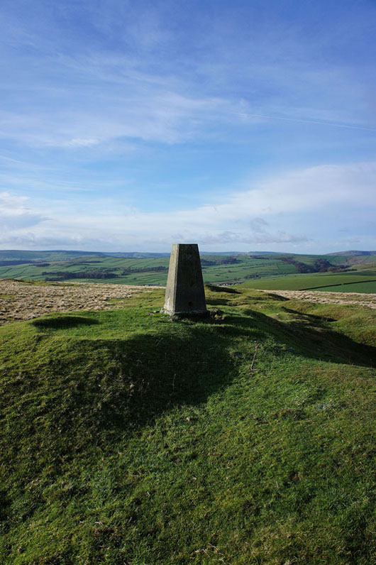
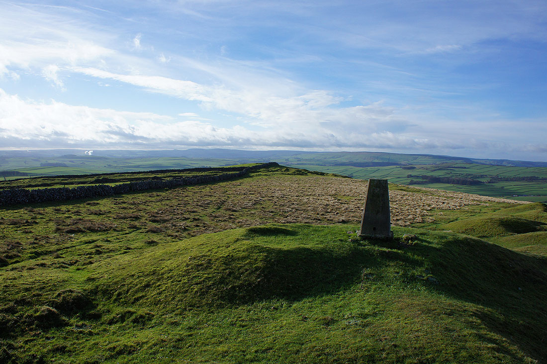
By the trig point on the top of Bradwell Moor. I decided to have my lunch here. Handy depressions in the ground left from mining, good for getting out of the wind.
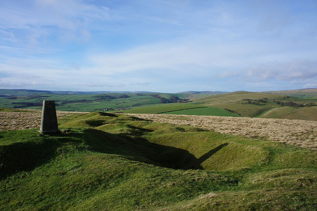
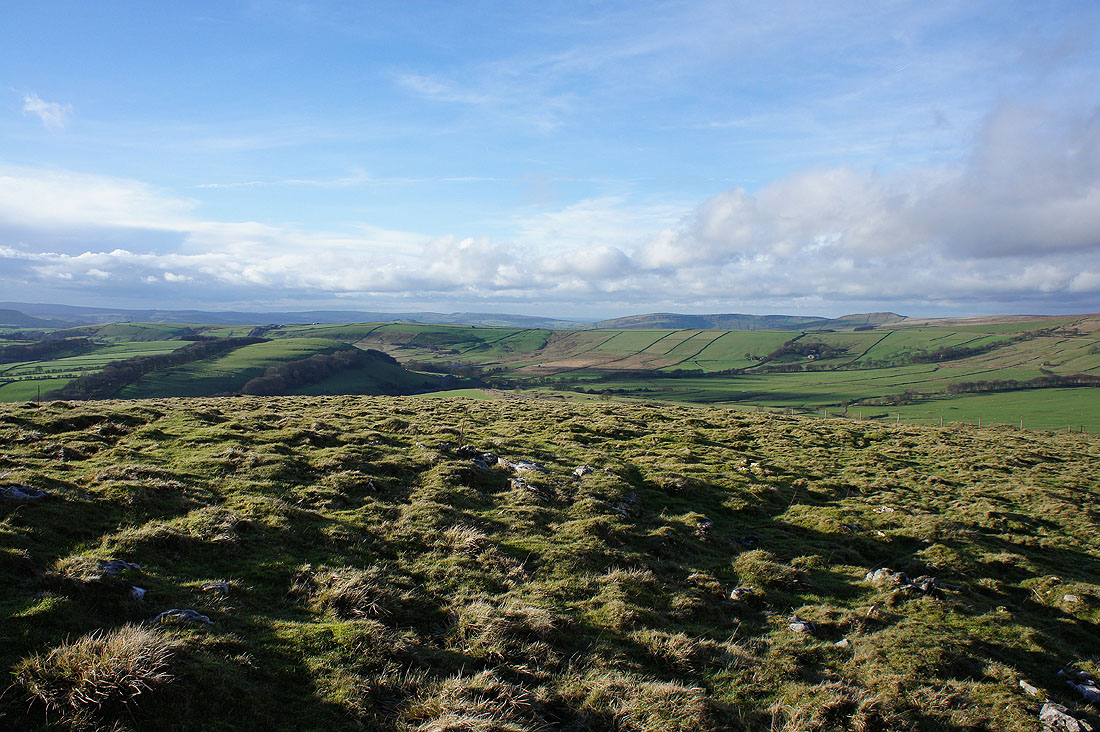
Great view from up here today. Eldon Hill is on the right with Perry Dale to its left. In the distance, the moors above the Goyt Valley and Cracken Edge.
Axe Edge Moor and Black Edge in the distance
A bit of Kinder Scout, Lose Hill, Derwent Edge and Win Hill
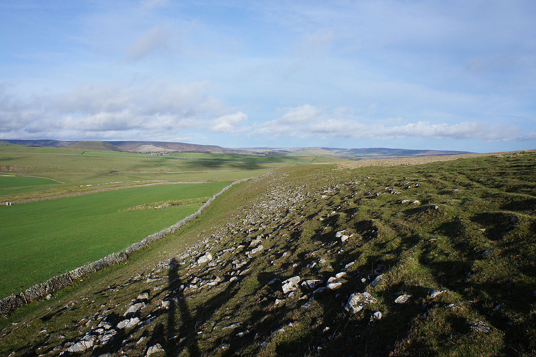
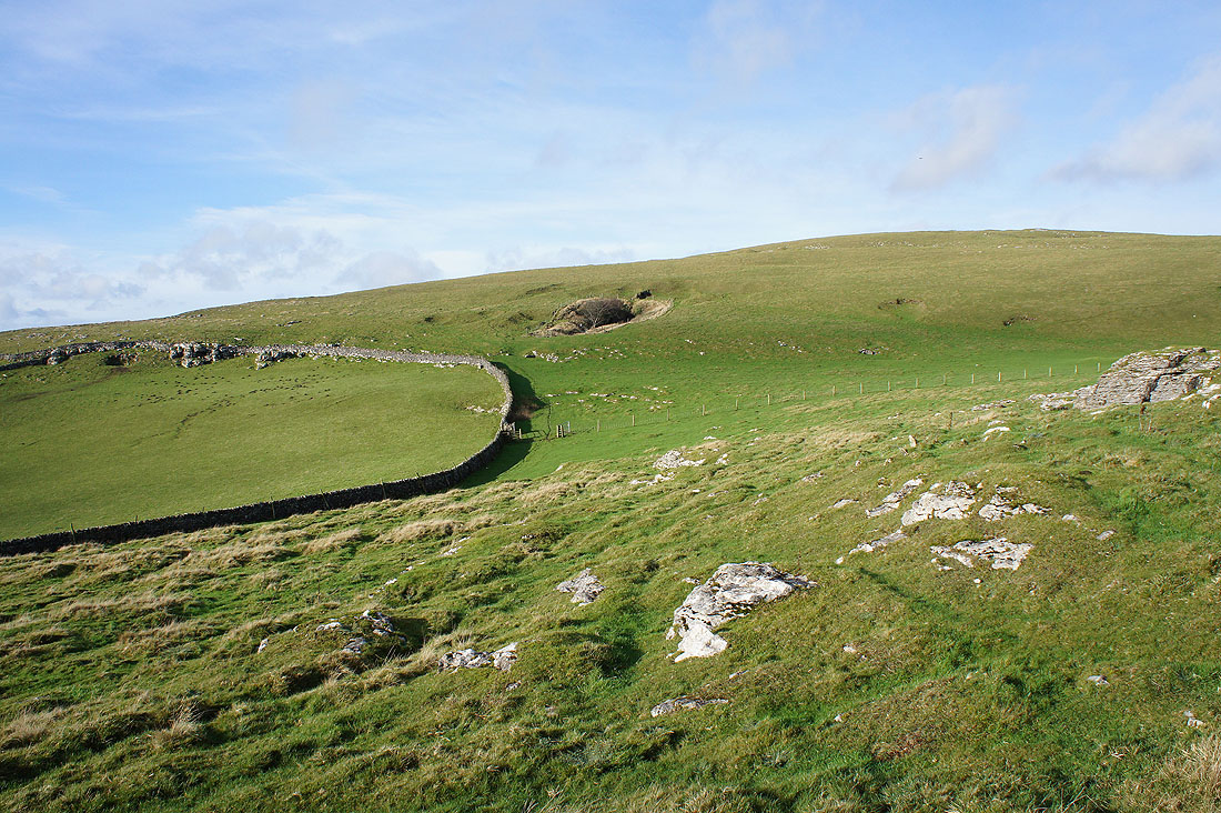
Couldn't resist taking this shot with the exposed limestone as I made my way back down to the Limestone Way
It's a lovely start to the afternoon
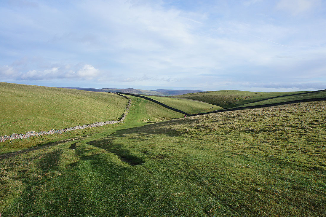
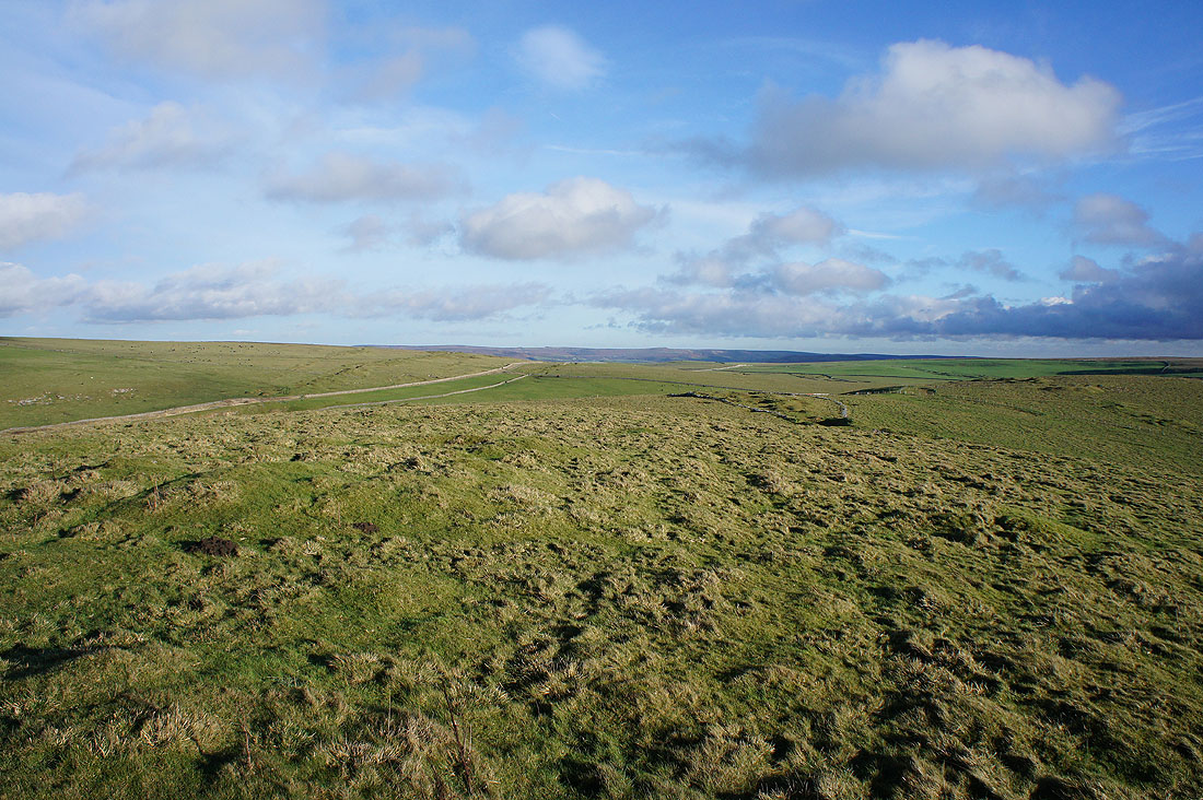
Heading down on the Limestone Way
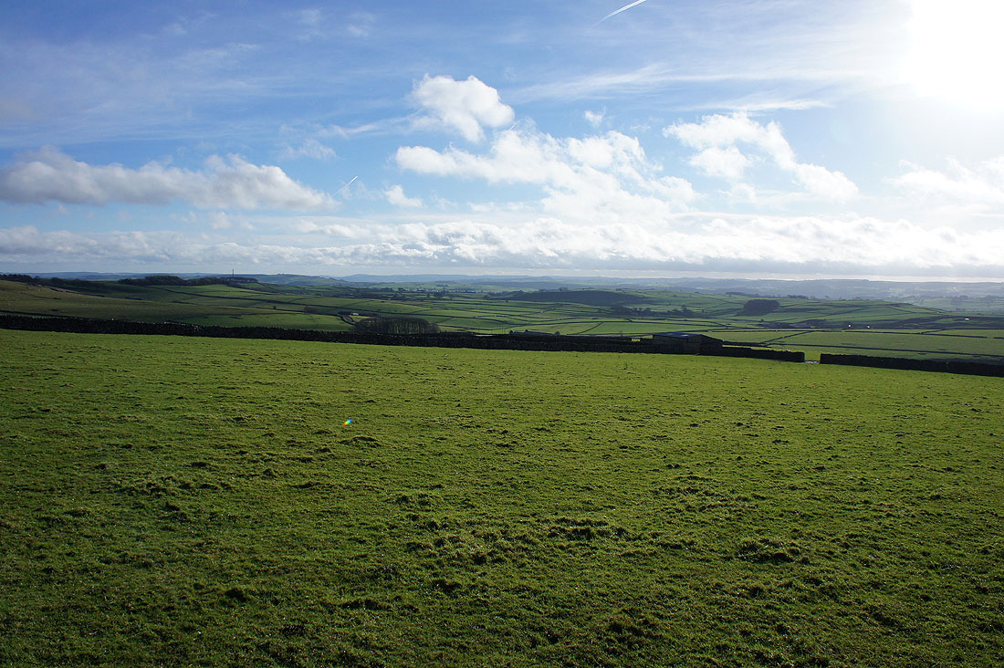
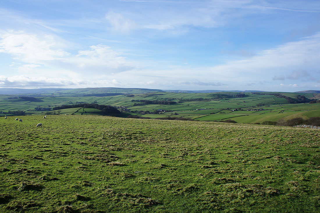
Looking south across the White Peak
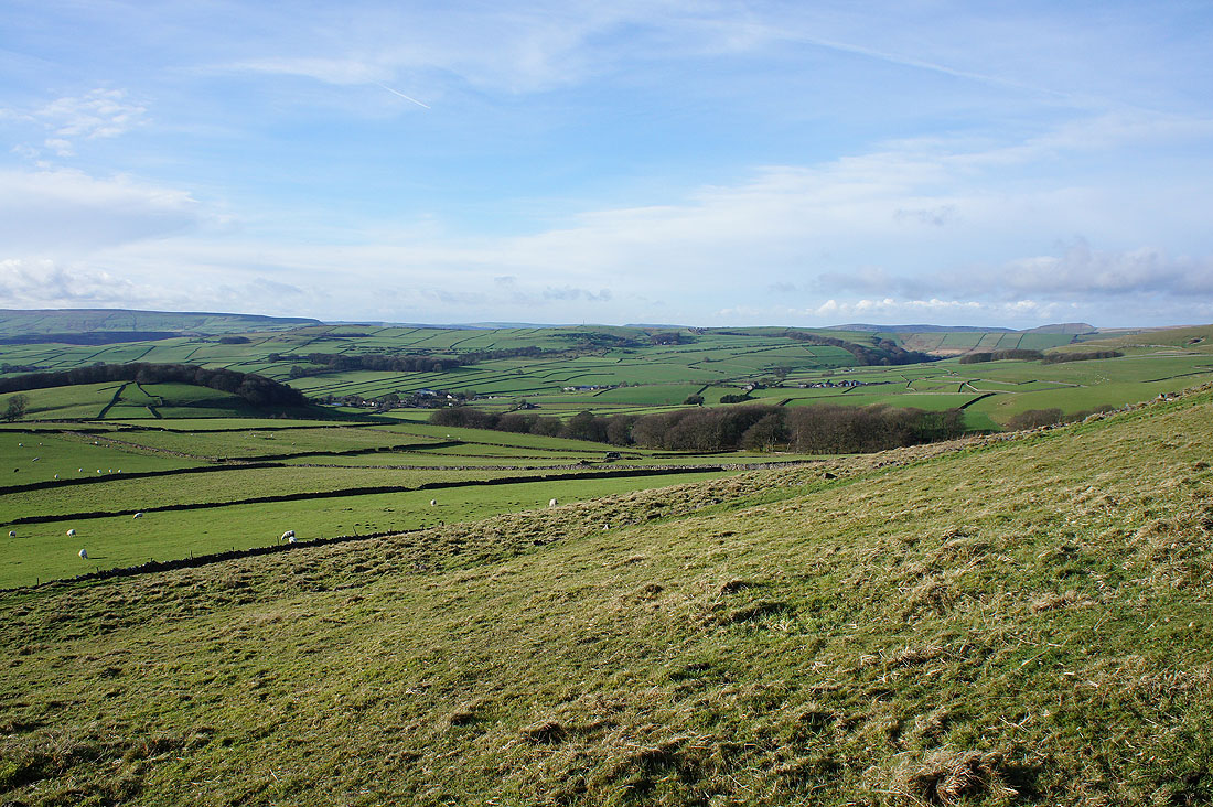
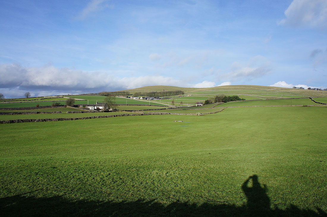
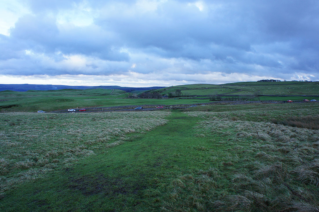
I'm heading for the hamlet of Old Dam, left of centre next to the wooded hill
Just ahead I'll leave the Limestone Way and turn right onto the lane to Old Dam
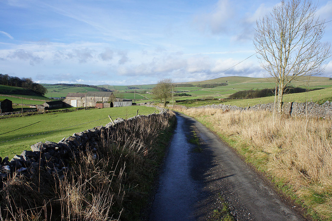
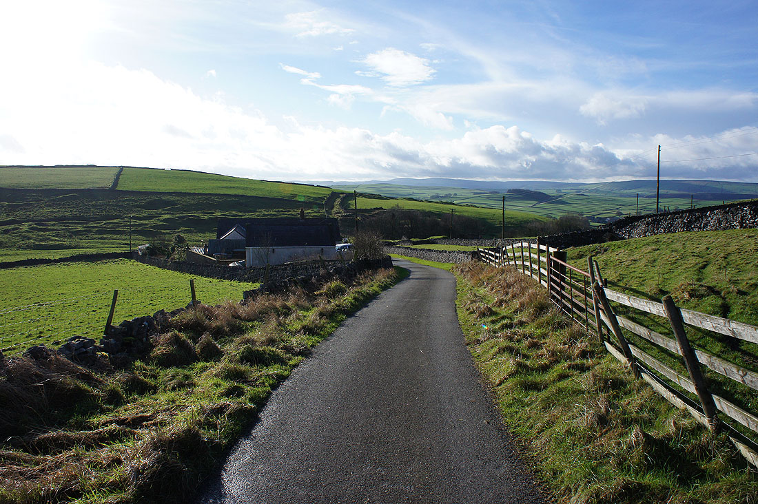
Quiet walking on the lane to Old Dam
Eldon Hill above to my right
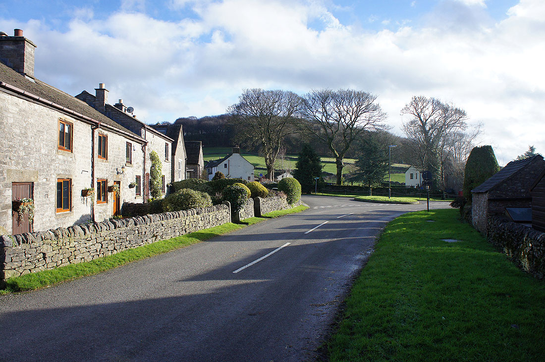
In Old Dam
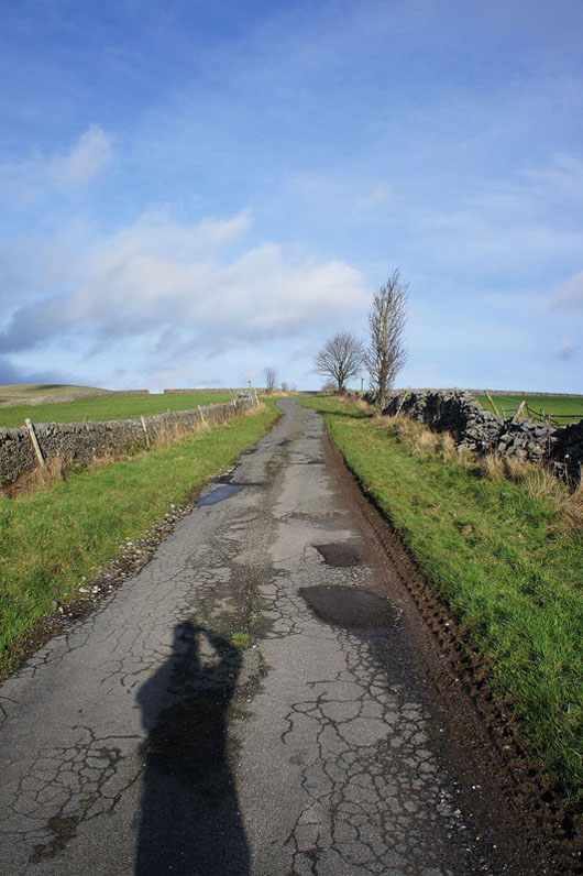
Onto the bridleway of Eldon Lane
To my right; Conies Dale, Ox Low and Conies Farm
Approaching Eldon Hole
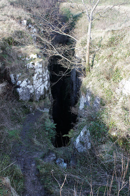
A photo doesn't show too much. It was dark and did look very deep.
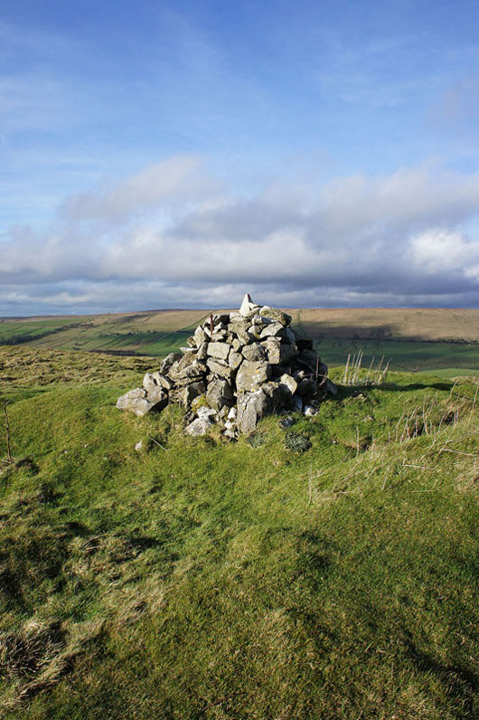
After a short climb, by the cairn on the top of Eldon Hill
A big view out to the west with the moors above the Goyt Valley on the left, then Cracken Edge and South Head on the right
Rushup Edge and Mam Tor
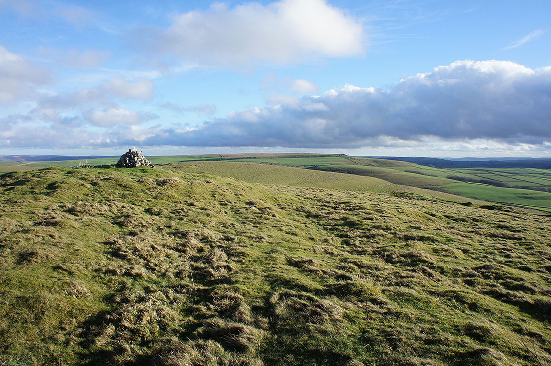
Looking across to the top of Bradwell Moor, where I was earlier in the day
Stanage Edge way in the distance

The cloud has certainly increased in the last half an hour. It does create an interesting combination of light and shade.
Mam Tor and the ridge to Lose Hill..
.. as I head for the Winnats Pass
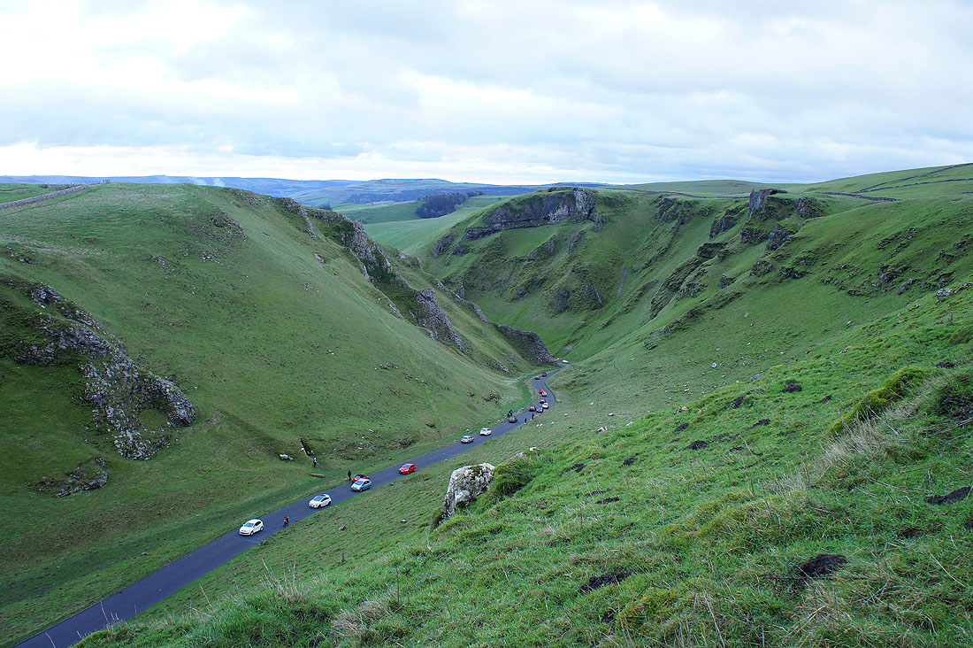
A birds-eye view of the Winnats Pass. I could have followed the tops of the crags round but it was very muddy up here and time was pressing so I made my way back to the road to walk down it instead.
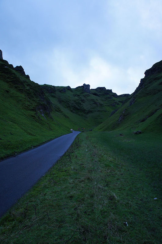
Looking back up the road as I reach the bottom of Winnats Pass