10th July 2016 - Eyam, Abney & Offerton Moors
Walk Details
Distance walked: 12.2 miles
Total ascent: 1717 ft
OS map used: OL1 - The Peak District, Dark Peak area & OL24 - The Peak District, White Peak area
Time taken: 6.5 hrs
Route description: Hathersage-Station Road-Dore Lane-Leadmill Bridge-Leam-Eyam Moor-Sir William Hill-Sir William Hill Road-Nether Bretton-The Barrel Inn-Hucklow Edge-Camphill-Abney Moor-Brough Lane-Abney Moor-Offerton Moor-Offerton-Derwent Valley Heritage Way-Leadmill Bridge-Dore Lane-Station Road-Hathersage
I decided to head to Hathersage today and do a walk across the heather clad moors to the southwest of the village. The route that I followed was a longer version of one that I did nearly three years ago, so I had even more moorland walking to enjoy and there were good views across a good part of the Peak District to take in. I didn't fare too badly with the weather while I was out. It was a bit murky when I arrived in Hathersage but it soon started to brighten up and by the afternoon there were warm sunny spells about, a nice summers afternoon. A brief shower passed through while I was on Abney Moor but fortunately I made it back to Hathersage before a heavier shower arrived.
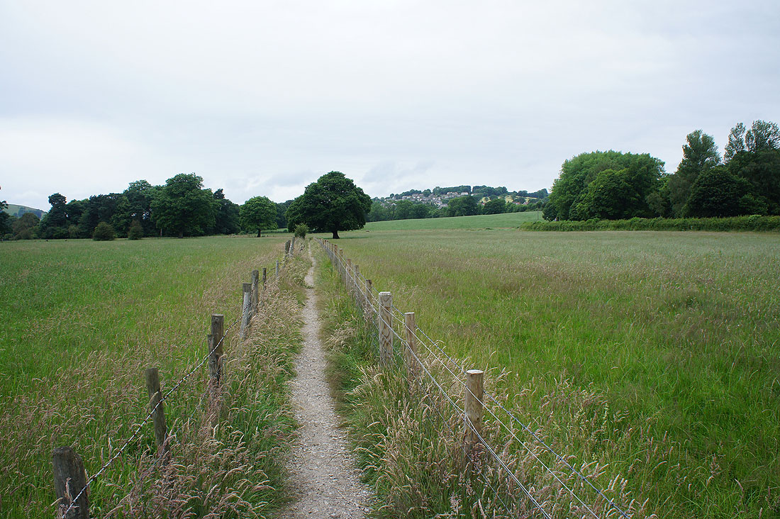
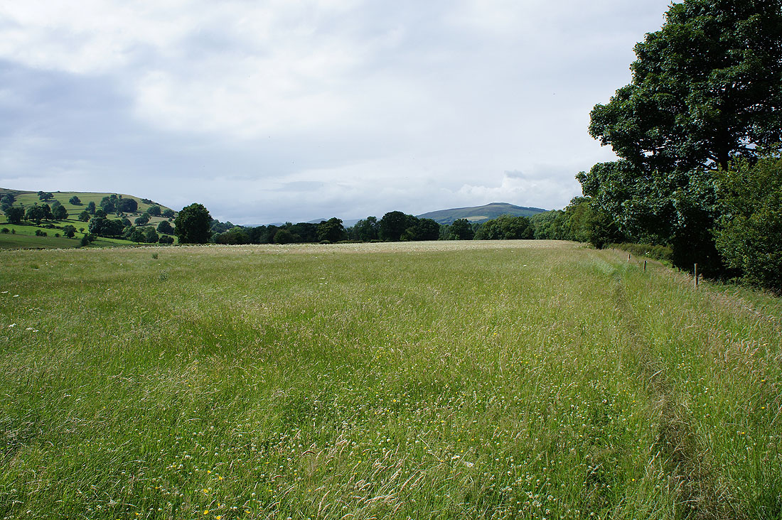
From the car park opposite the swimming pool in Hathersage I walked out to the B6001 which I followed south before crossing it and taking Dore Lane west underneath the railway line. When I reached the right turn on the lane I took the footpath on the left that heads through fields to reach Leadmill Bridge on the B6001. I crossed Leadmill Bridge and after passing The Plough Inn I left the B6001 for the lane up to Leam on the right. Once past Leam Farm I took the footpath on the right to cross Eyam Moor to Sir William Hill Road, which I followed west with a detour to the trig point on Sir William Hill. I left Sir William Hill Road for the byway to Nether Bretton before joining the road again at The Barrel Inn. I then followed the road west to Hucklow Edge (with a stop for lunch) and then north past the gliding field at Camphill. I finally left the road opposite Abney Grange to head north across Abney Moor to the track of Brough Lane, which I followed east to its end to take the footpath east across another Abney Moor. At a crossroads of paths I turned left and made my way north across Siney Sitch and onto Offerton Moor. My descent from Offerton Moor brought me to Offerton Hall and a path down to the River Derwent. A walk by the river then brought me back to Leadmill Bridge and from there I retraced my steps back to Hathersage.
Total ascent: 1717 ft
OS map used: OL1 - The Peak District, Dark Peak area & OL24 - The Peak District, White Peak area
Time taken: 6.5 hrs
Route description: Hathersage-Station Road-Dore Lane-Leadmill Bridge-Leam-Eyam Moor-Sir William Hill-Sir William Hill Road-Nether Bretton-The Barrel Inn-Hucklow Edge-Camphill-Abney Moor-Brough Lane-Abney Moor-Offerton Moor-Offerton-Derwent Valley Heritage Way-Leadmill Bridge-Dore Lane-Station Road-Hathersage
I decided to head to Hathersage today and do a walk across the heather clad moors to the southwest of the village. The route that I followed was a longer version of one that I did nearly three years ago, so I had even more moorland walking to enjoy and there were good views across a good part of the Peak District to take in. I didn't fare too badly with the weather while I was out. It was a bit murky when I arrived in Hathersage but it soon started to brighten up and by the afternoon there were warm sunny spells about, a nice summers afternoon. A brief shower passed through while I was on Abney Moor but fortunately I made it back to Hathersage before a heavier shower arrived.
From the car park opposite the swimming pool in Hathersage I walked out to the B6001 which I followed south before crossing it and taking Dore Lane west underneath the railway line. When I reached the right turn on the lane I took the footpath on the left that heads through fields to reach Leadmill Bridge on the B6001. I crossed Leadmill Bridge and after passing The Plough Inn I left the B6001 for the lane up to Leam on the right. Once past Leam Farm I took the footpath on the right to cross Eyam Moor to Sir William Hill Road, which I followed west with a detour to the trig point on Sir William Hill. I left Sir William Hill Road for the byway to Nether Bretton before joining the road again at The Barrel Inn. I then followed the road west to Hucklow Edge (with a stop for lunch) and then north past the gliding field at Camphill. I finally left the road opposite Abney Grange to head north across Abney Moor to the track of Brough Lane, which I followed east to its end to take the footpath east across another Abney Moor. At a crossroads of paths I turned left and made my way north across Siney Sitch and onto Offerton Moor. My descent from Offerton Moor brought me to Offerton Hall and a path down to the River Derwent. A walk by the river then brought me back to Leadmill Bridge and from there I retraced my steps back to Hathersage.
Route map
© Crown copyright. All rights reserved. License number PU 100034184.
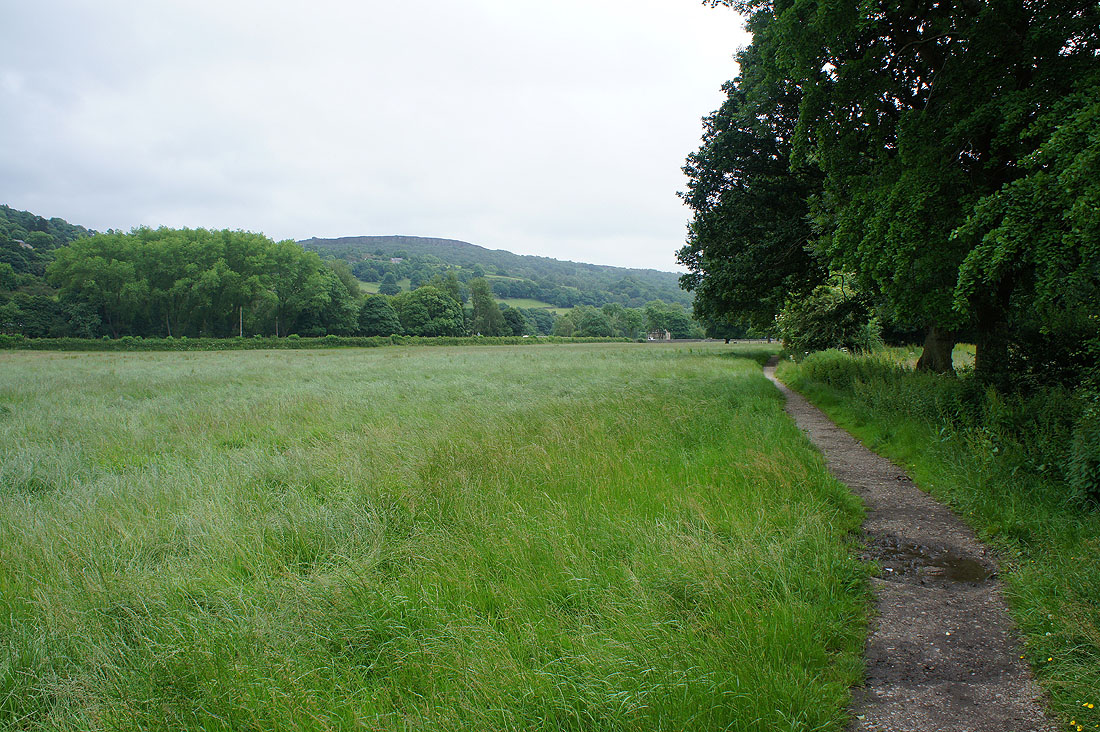
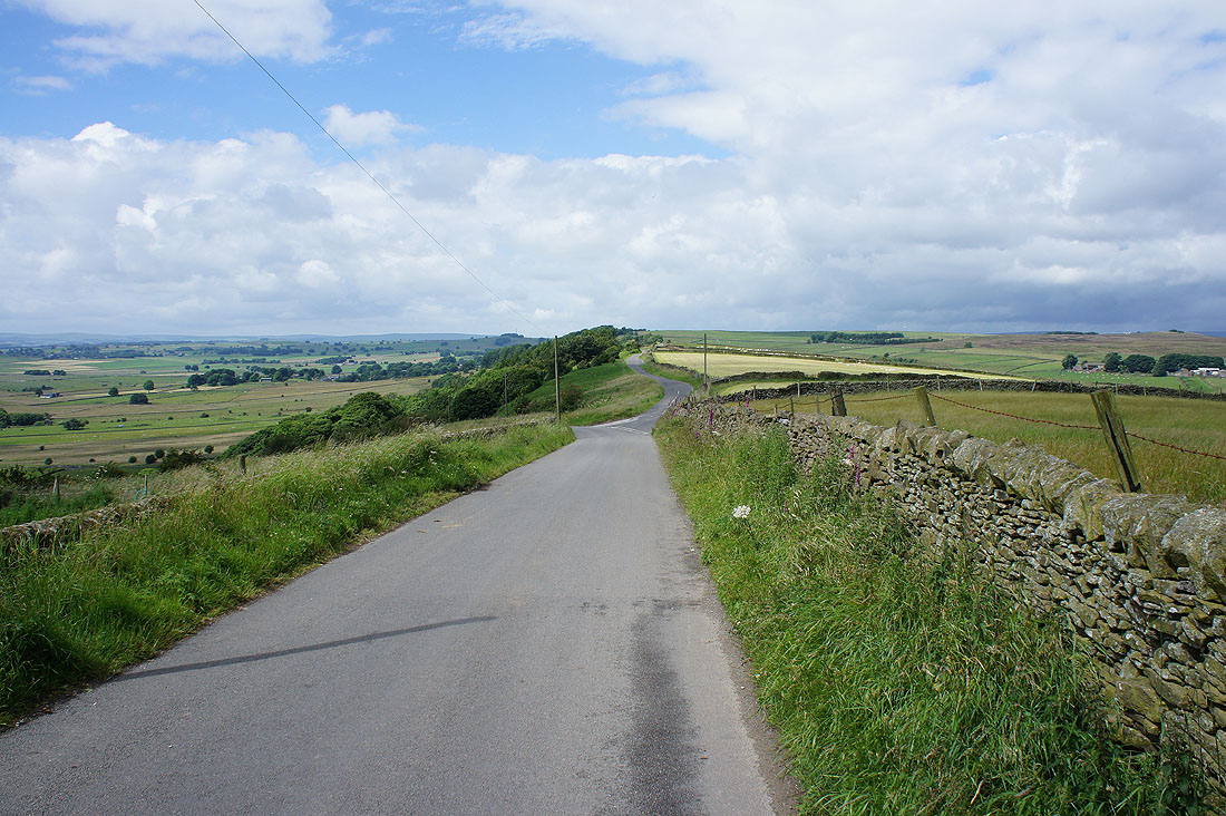
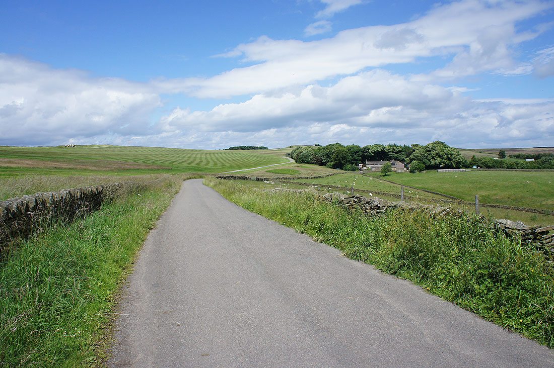
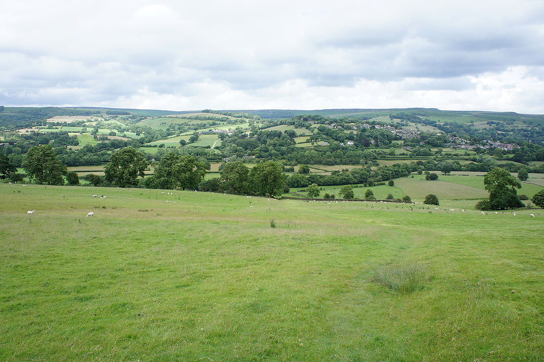
Millstone Edge in the distance as I head south from Hathersage to Leadmill Bridge
and looking back to Hathersage

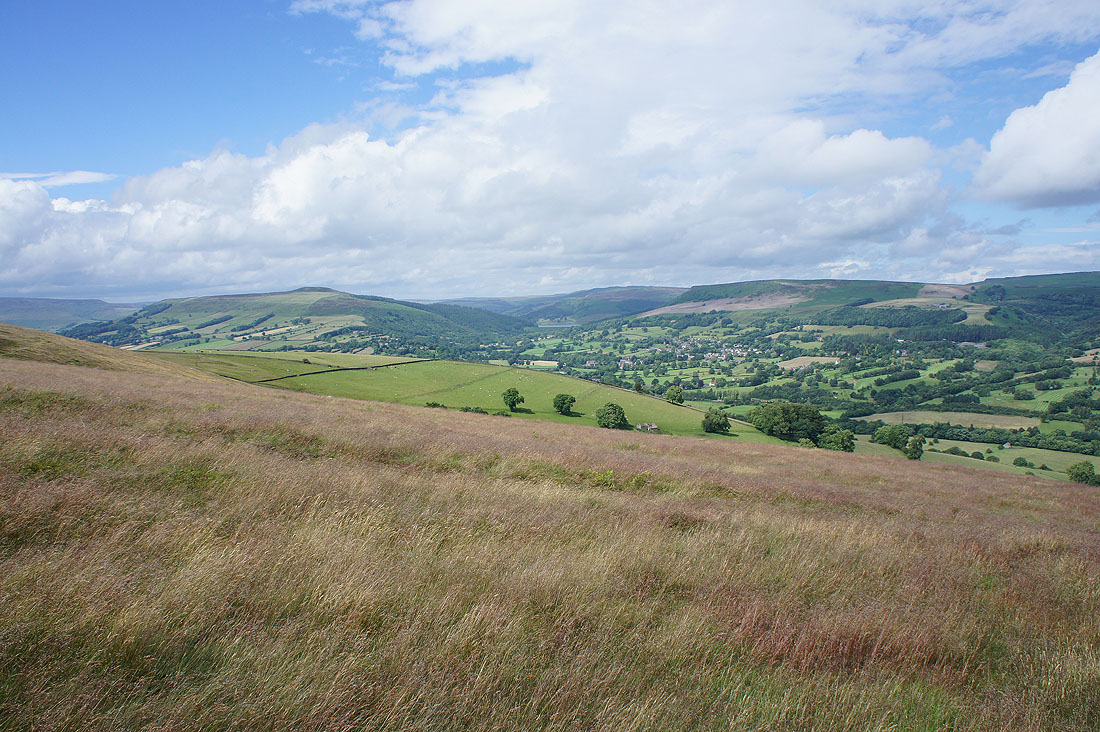
Win Hill, Bamford Edge, Hathersage and Stanage Edge as I walk up the road to Leam
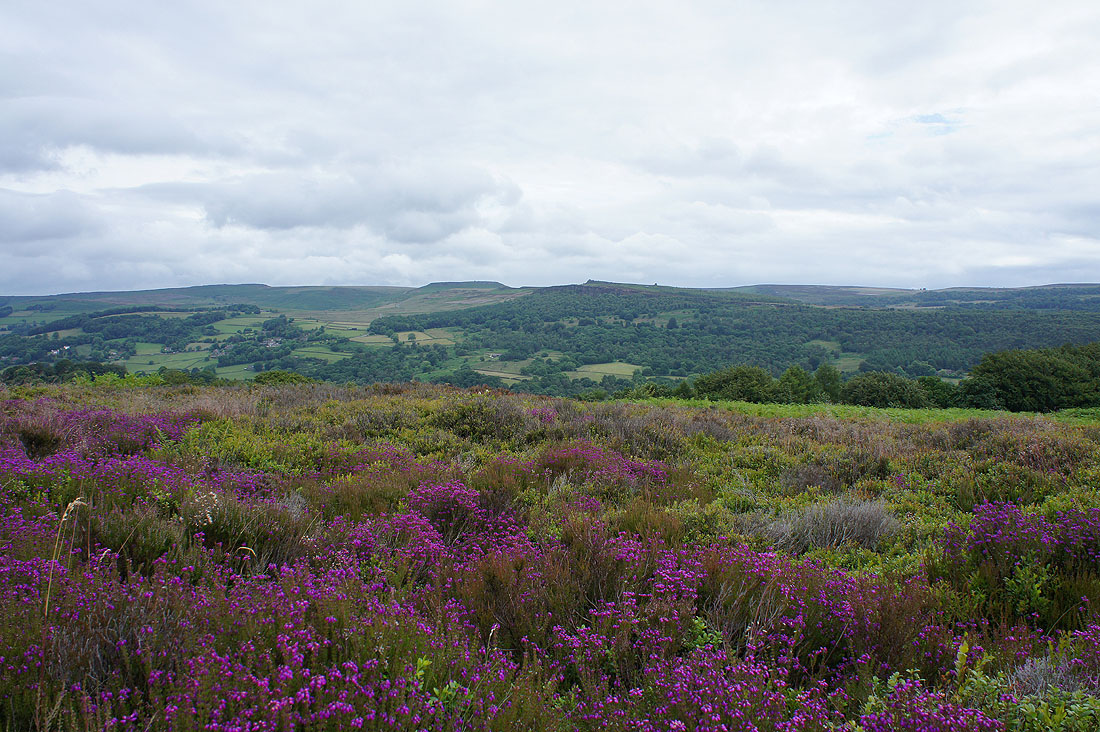
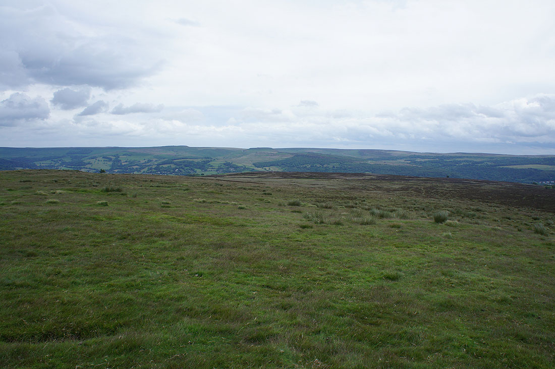
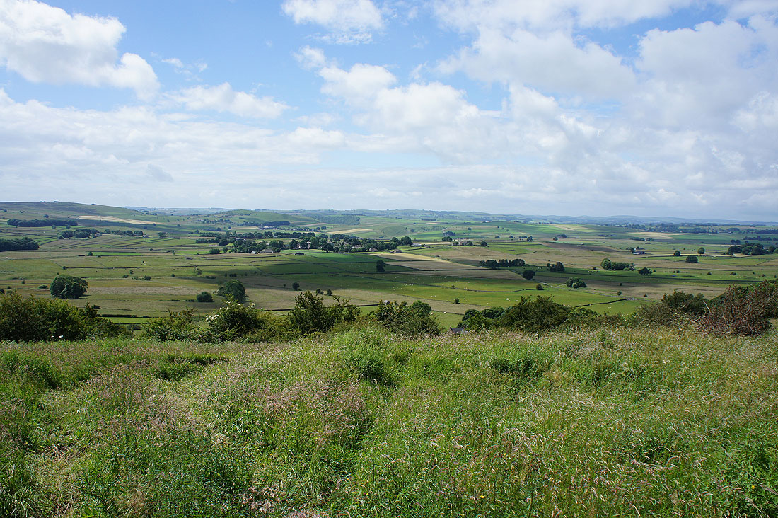
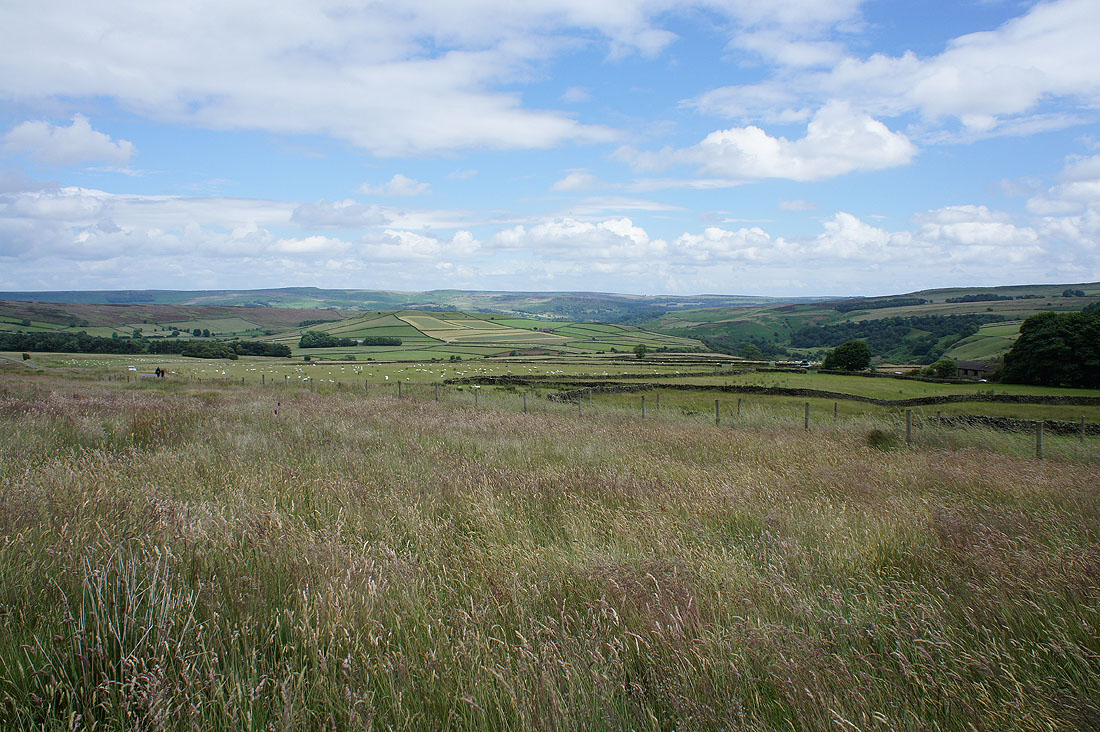
The first of the heather is out on Eyam Moor as I look across the Derwent Valley to Higger Tor, Over Owler Tor and Millstone Edge
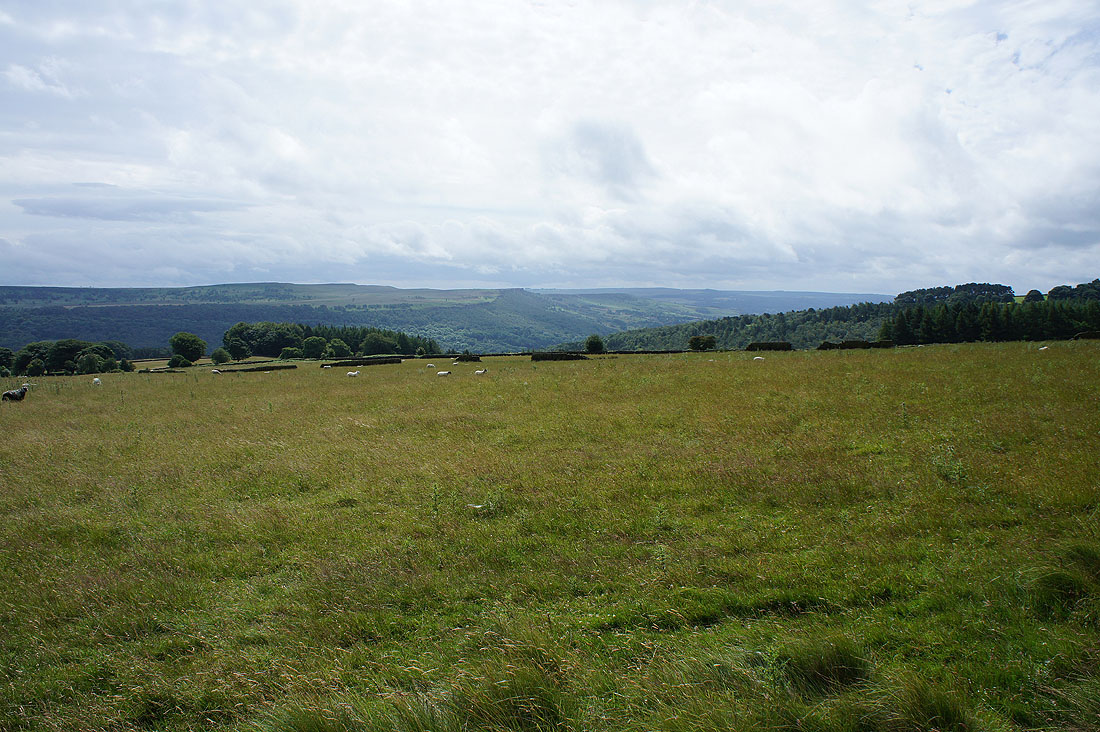
Looking down the Derwent Valley to Curbar Edge
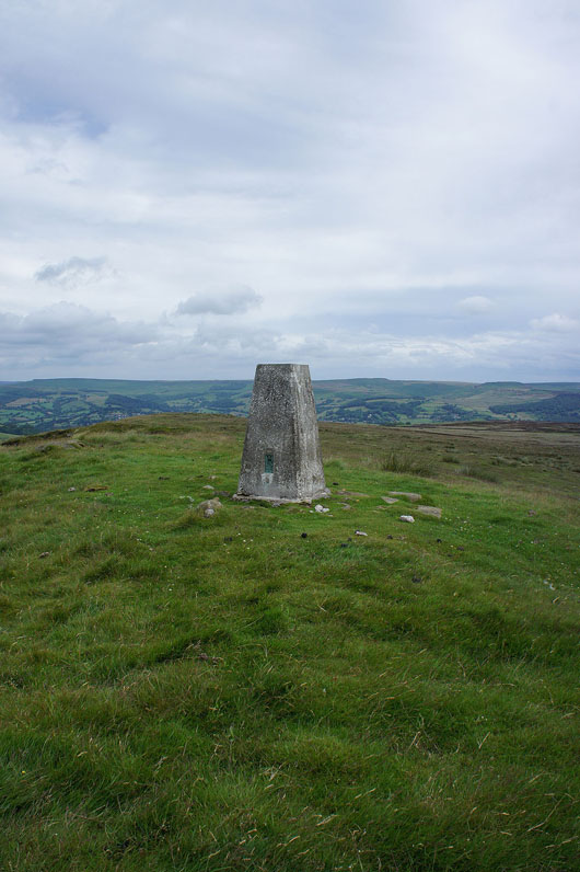
A detour from Sir William Hill Road to reach the trig point on Sir William Hill
Views from Sir William Hill. To the northwest a distant Kinder Scout beyond Abney and Offerton Moors which I'll be walking across later.
Win Hill, Back Tor, Bamford Edge and Stanage Edge to the north
The southern end of Stanage Edge and Higger Tor to the northeast
Finally looking west along Sir William Hill Road. I think that might be Axe Edge Moor in the far distance.
Back on Sir William Hill Road
|
and on the byway to Nether Bretton
|
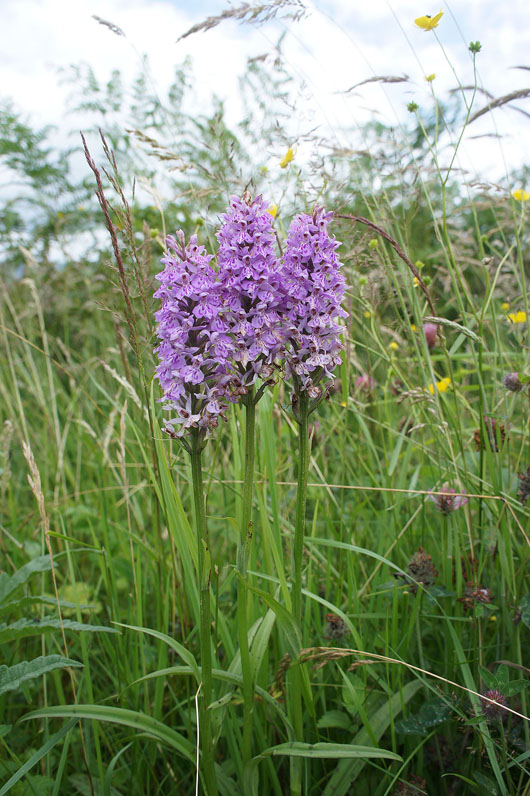
I was lucky enough to spot this trio of common spotted orchids next to it
Looking down Bretton Clough to Stanage Edge in the distance from the byway
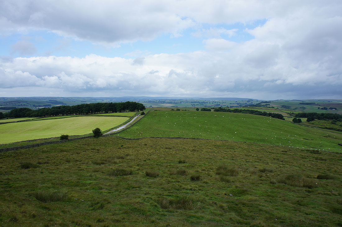
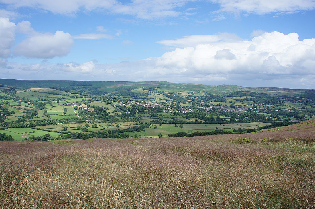
Abney Moor and Abney Grange
Abney with another Abney Moor behind
Heading west along the road to Hucklow Edge having joined it at The Barrel Inn. It's a bit windswept up here.
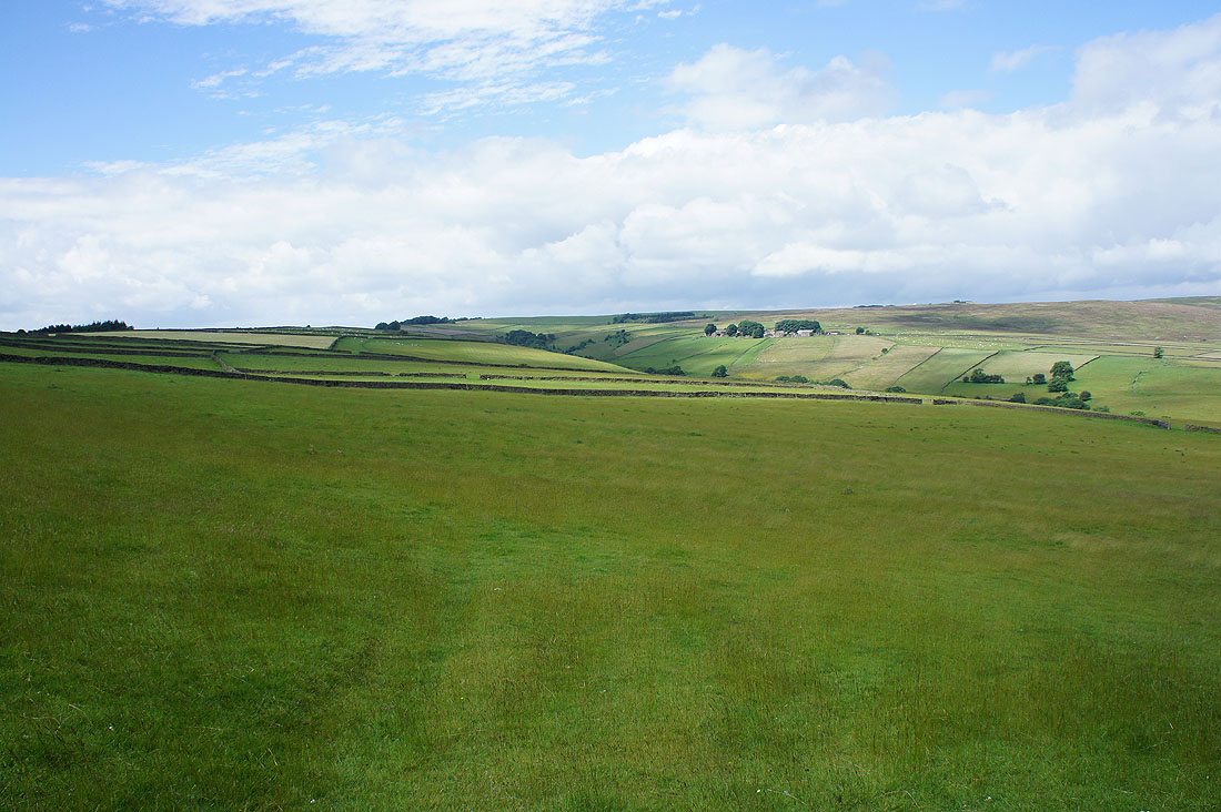
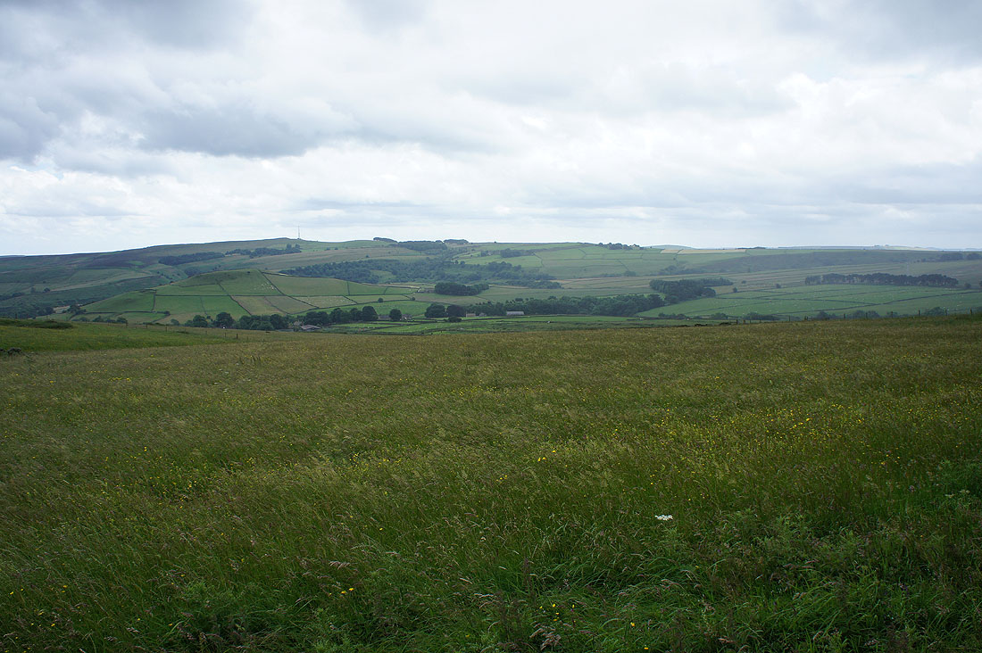
There's a good view to the south to Wardlow Hay Cop, Foolow and the top of Cressbrook Dale
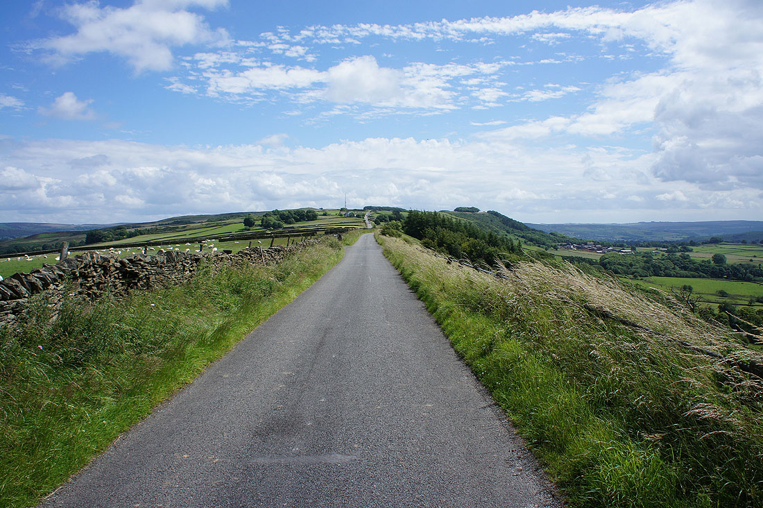
Looking back along the road to Eyam Edge
I got off the road onto a public footpath to have my lunch against a wall. I was treated to this great view down Bretton Clough to Stanage Edge, Higger Tor and Millstone Edge.
Back on the road past the Gliding Field on Camphill

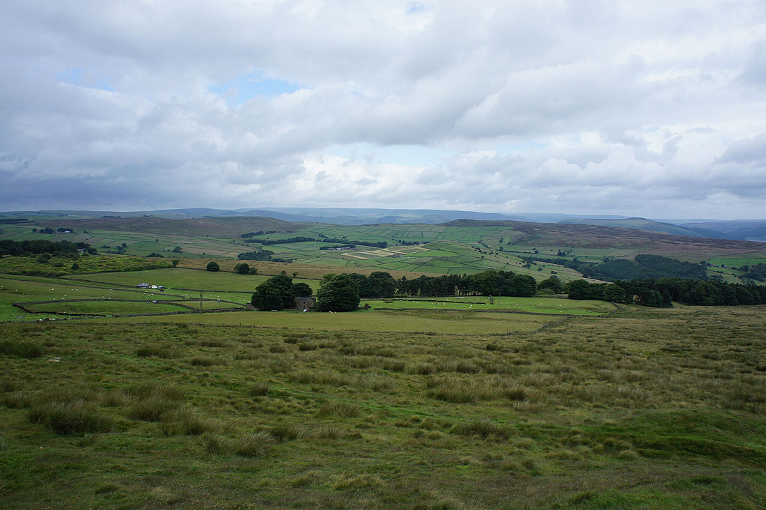
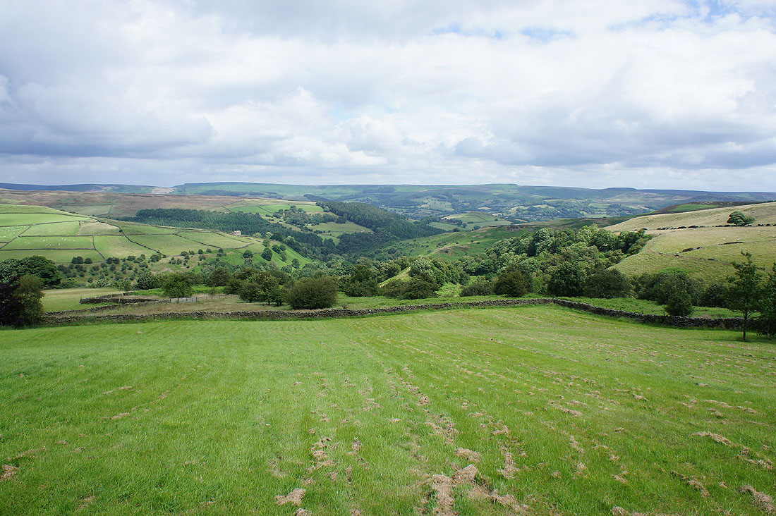
Good views of the top of Bretton Clough..
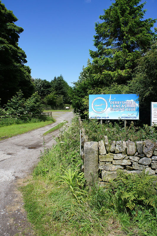
Past the entrance to the gliding club
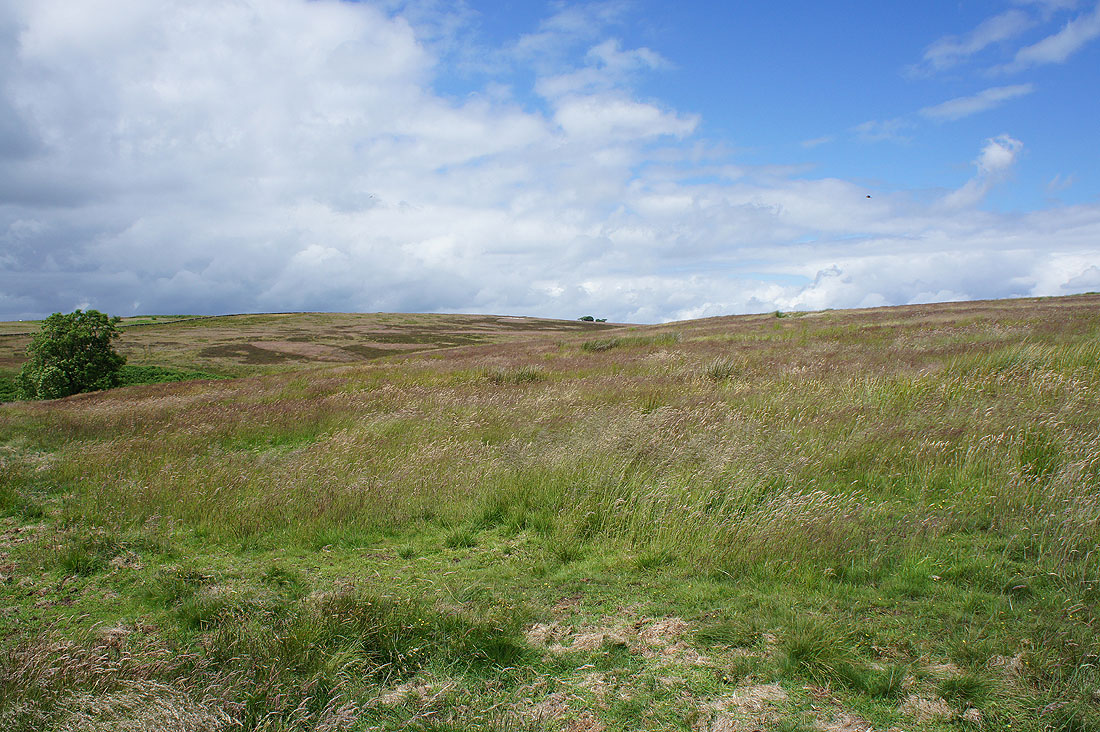
Blue skies above Abney Moor
Abney Low and Bretton Clough as I leave the road..
..for the path north across Abney Moor
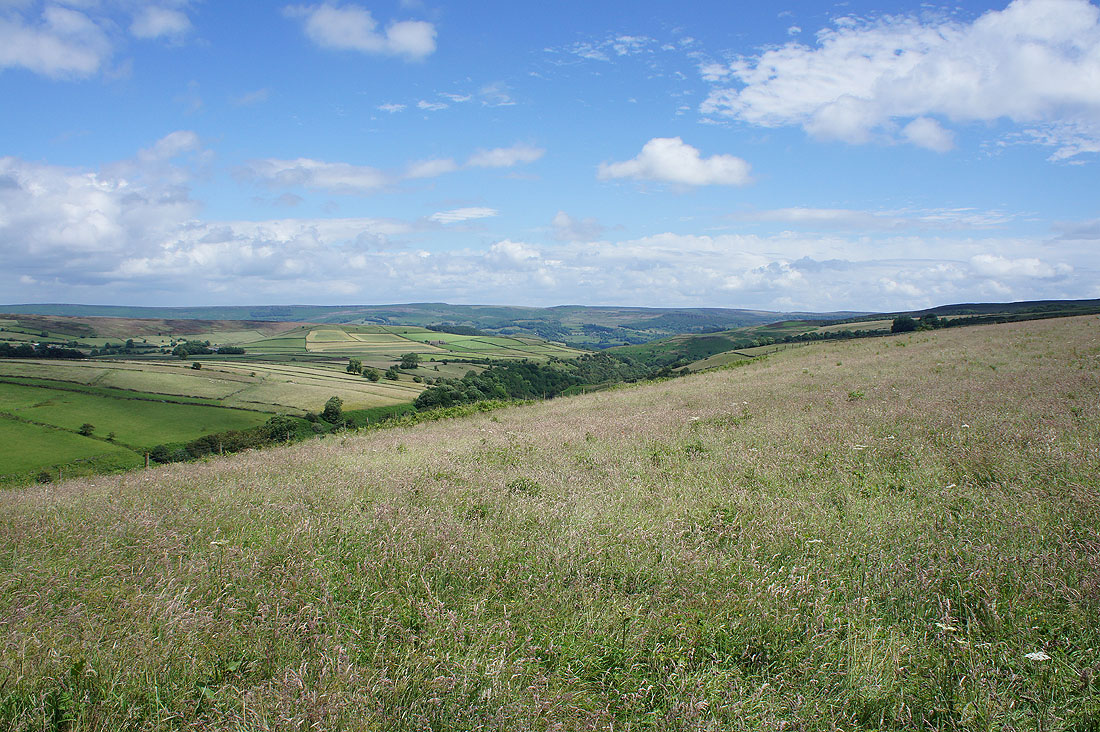
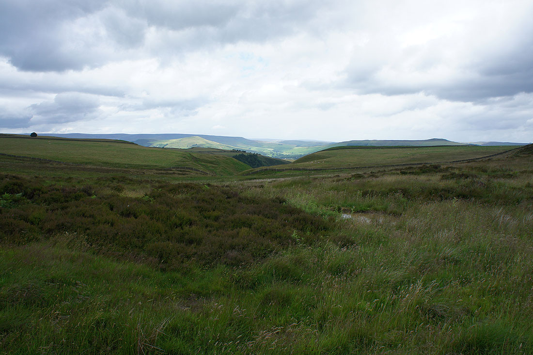
Looking east down Abney Clough
The eastern end of Kinder Scout and Win Hill appear ahead as I reach the north end of Abney Moor
Lose Hill, Over Dale and Win Hill
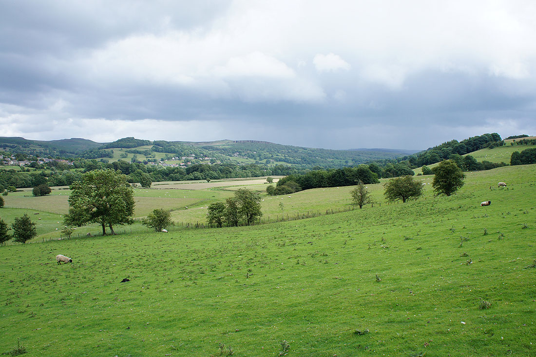
Looking south past Abney Low and Abney to Bretton Clough and Hucklow Edge as a brief shower passes through
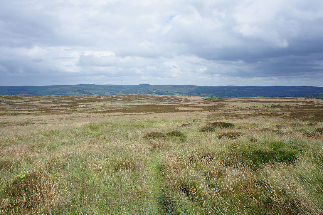
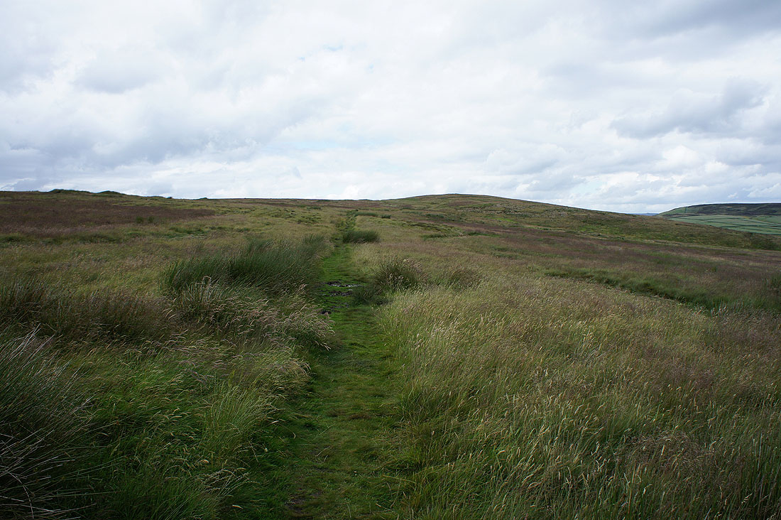
Heading east across the other Abney Moor
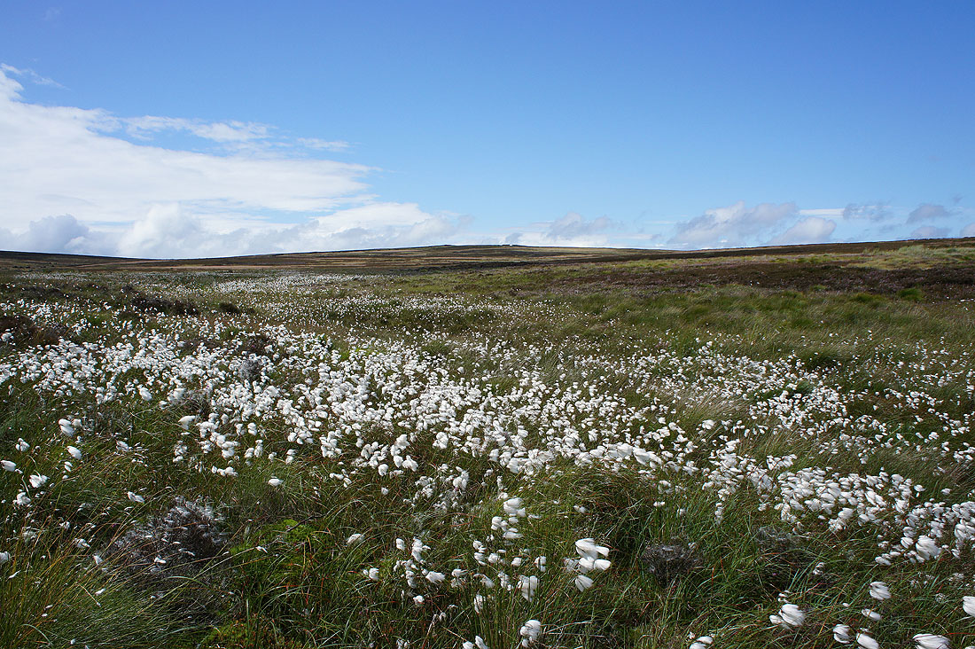
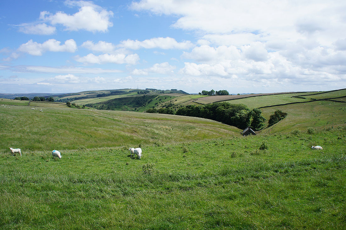
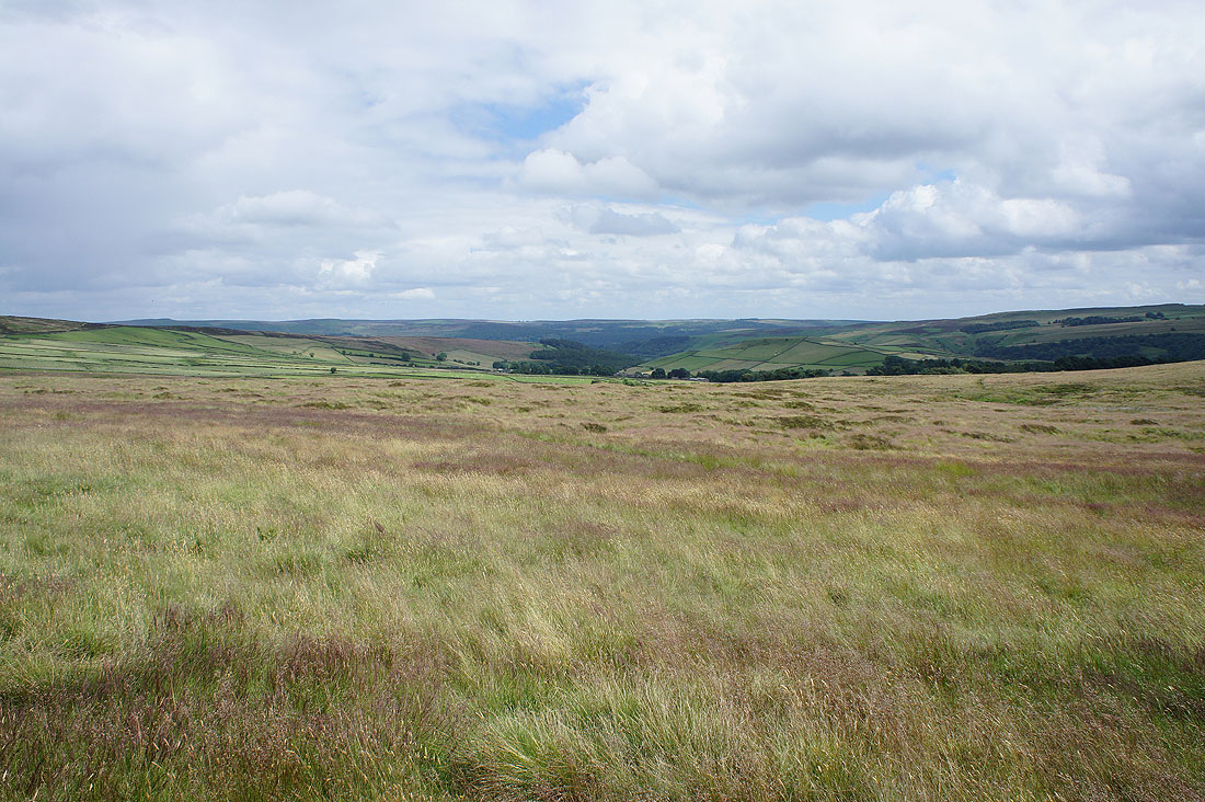
A sea of cotton grass as I cross Siney Sitch onto Offerton Moor
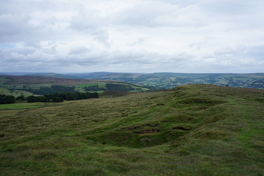
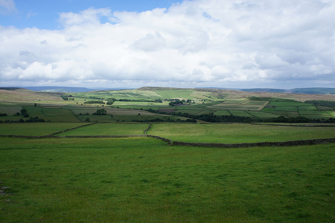
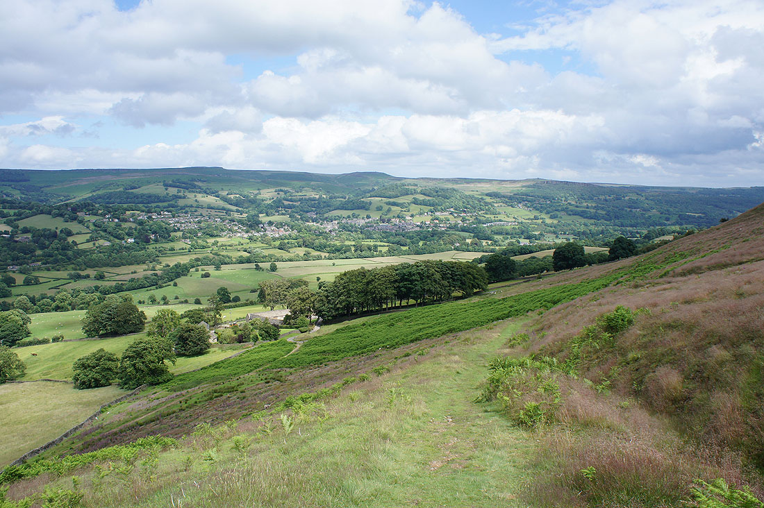
A great view of the Derwent Valley appears as I reach Offerton Edge. Looking north to Win Hill, the Ladybower dam, Bamford and Bamford Edge.
Stanage Edge, Hathersage and Higger Tor
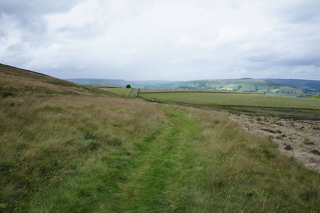
Heading down off Offerton Moor to reach the road at..
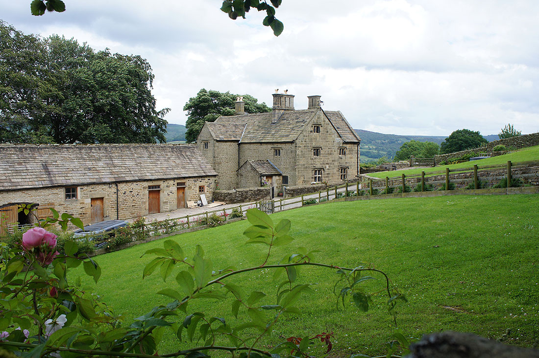
..Offerton Hall
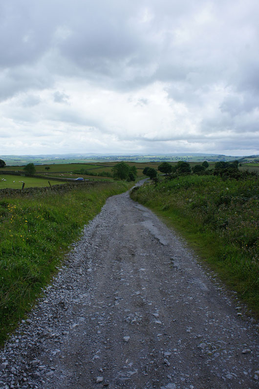
For the final part of my walk I'm following a path down through fields to pick up the path by the River Derwent
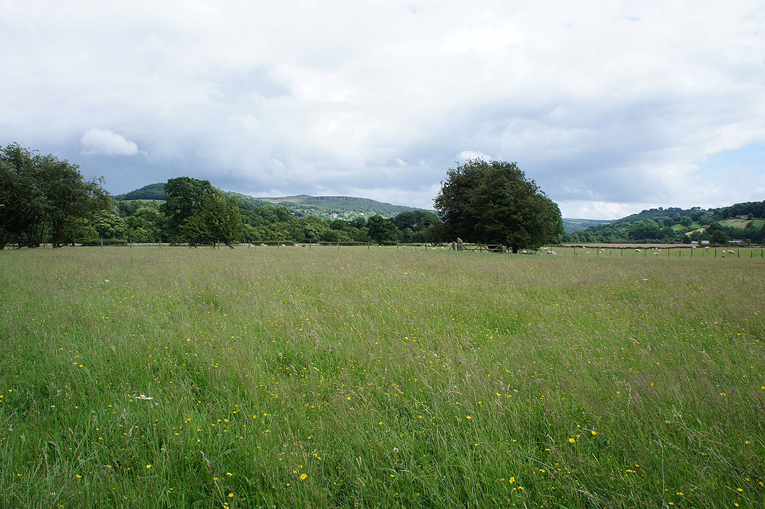
A shower passes by to the south of Millstone Edge
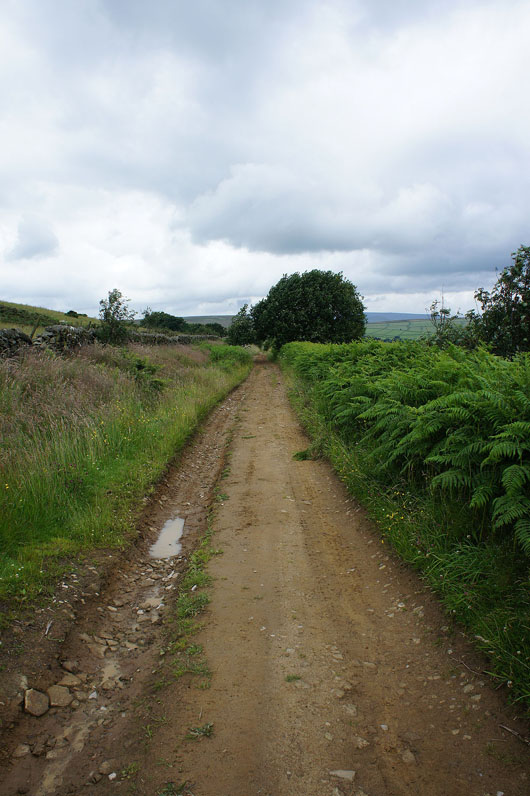
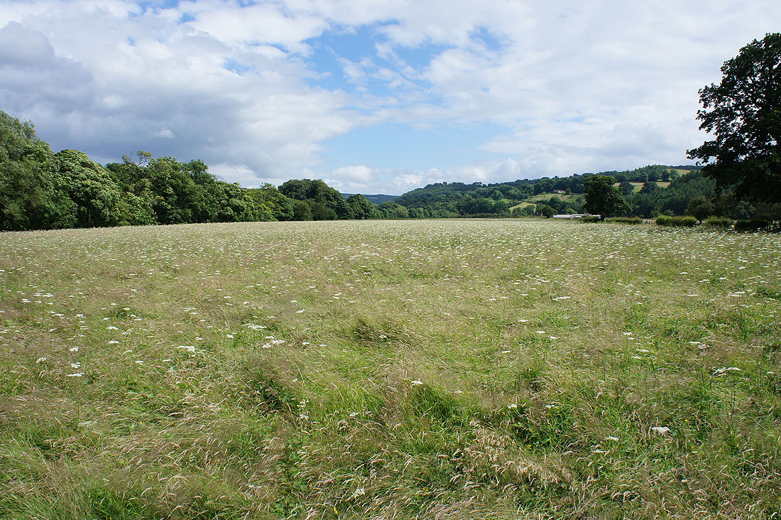
Nice views across the surrounding fields as I follow the path by the Derwent...
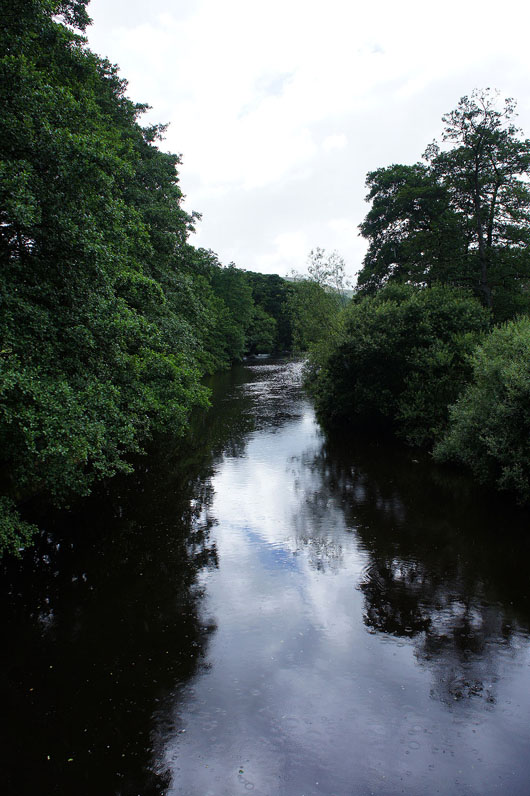
..back to Leadmill Bridge. From here I'll retrace my steps back to Hathersage.