10th June 2016 - Point of Sleat
Walk Details
Distance walked: 5.1 miles
Total ascent: 1135 ft
OS map used: 412 - Skye, Sleat
Time taken: 4 hrs
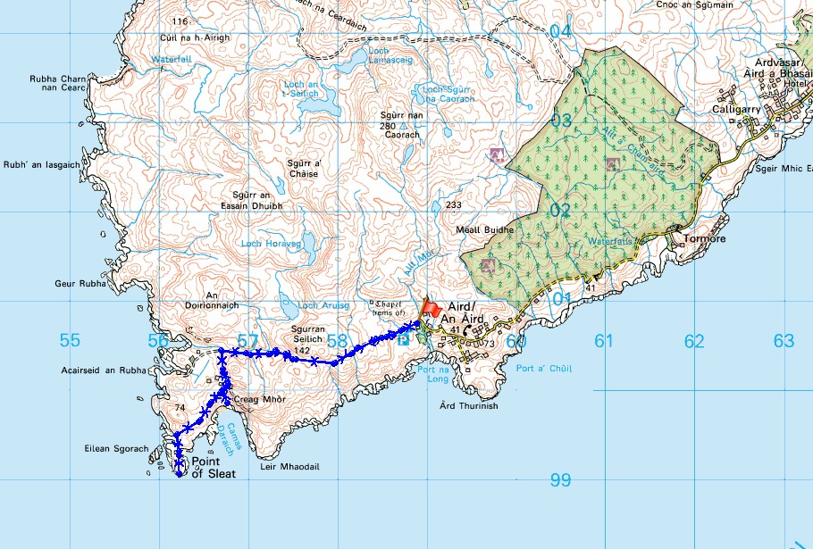
Route description: Aird-Point of Sleat-Sandy Bay-Aird
Unfortunately I didn't save the best to last with my final walk on Skye today. The weather was grey and overcast with the cloud sitting low on the hills and some light rain was forecast. At least the wind was light. I decided to do a short walk out to the Point of Sleat, the southernmost point on the island. It wouldn't take me all day to do, so it meant that I could get back to Broadford for the middle of the afternoon and have a good wander around the village. I wanted to pay a few of the galleries and arts shops a visit.
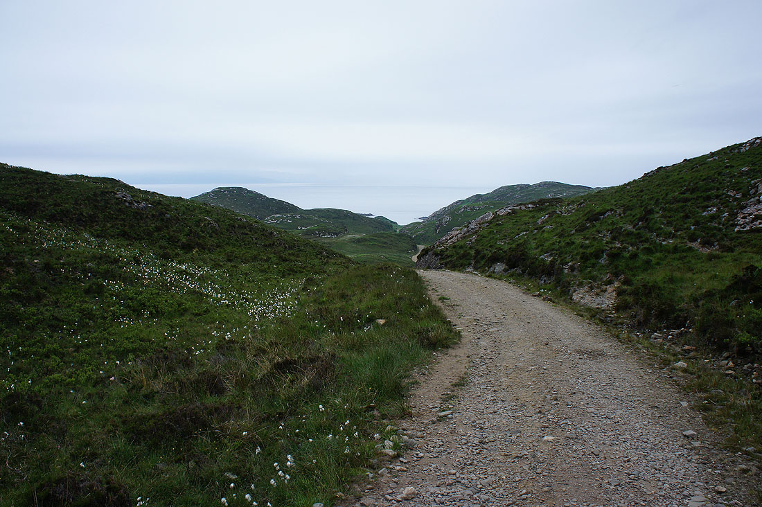
From the car park at the end of the road in Aird I set off by taking the rough and stony track that heads west across the moors. The track then reaches a gate where a signpost points to the left for the way to Sandy Bay and the Point of Sleat. A clear path heads south past Sandy Bay, then down to and past rock inlets to arrive at the Point of Sleat. After a lengthy break for lunch I made my way back by the same route except for a detour to the beach at Sandy Bay.
Total ascent: 1135 ft
OS map used: 412 - Skye, Sleat
Time taken: 4 hrs
Route description: Aird-Point of Sleat-Sandy Bay-Aird
Unfortunately I didn't save the best to last with my final walk on Skye today. The weather was grey and overcast with the cloud sitting low on the hills and some light rain was forecast. At least the wind was light. I decided to do a short walk out to the Point of Sleat, the southernmost point on the island. It wouldn't take me all day to do, so it meant that I could get back to Broadford for the middle of the afternoon and have a good wander around the village. I wanted to pay a few of the galleries and arts shops a visit.
From the car park at the end of the road in Aird I set off by taking the rough and stony track that heads west across the moors. The track then reaches a gate where a signpost points to the left for the way to Sandy Bay and the Point of Sleat. A clear path heads south past Sandy Bay, then down to and past rock inlets to arrive at the Point of Sleat. After a lengthy break for lunch I made my way back by the same route except for a detour to the beach at Sandy Bay.
Route map
© Crown copyright. All rights reserved. License number PU 100034184.
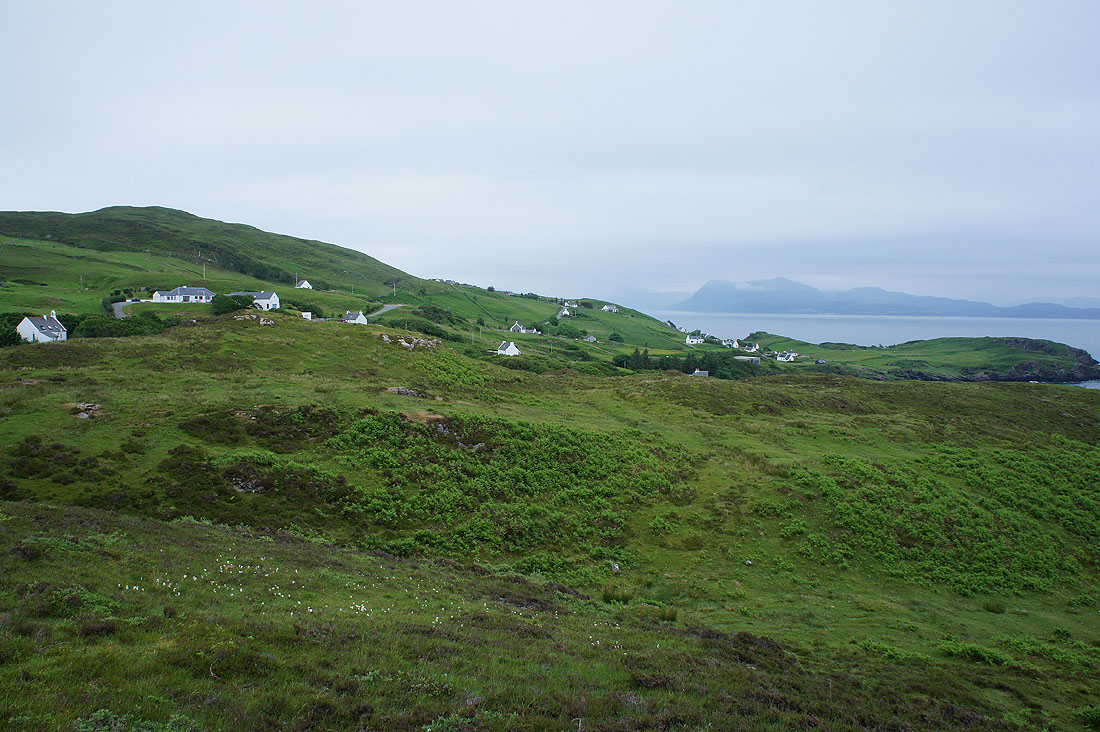
Leaving the hamlet of Aird behind
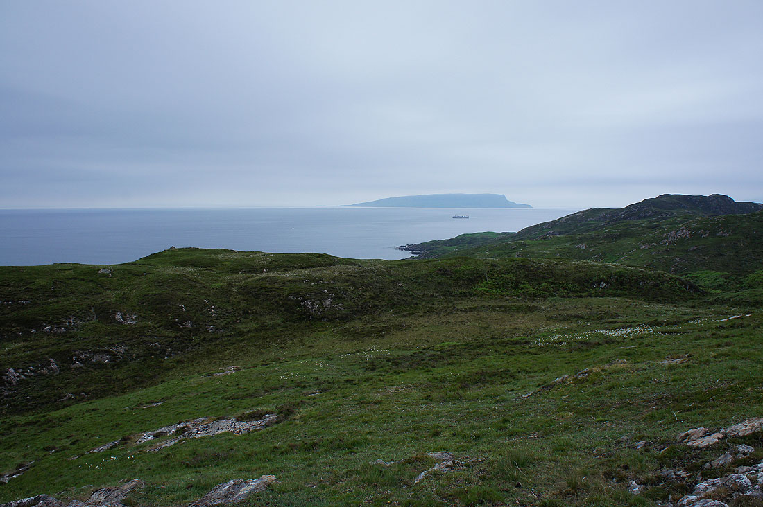
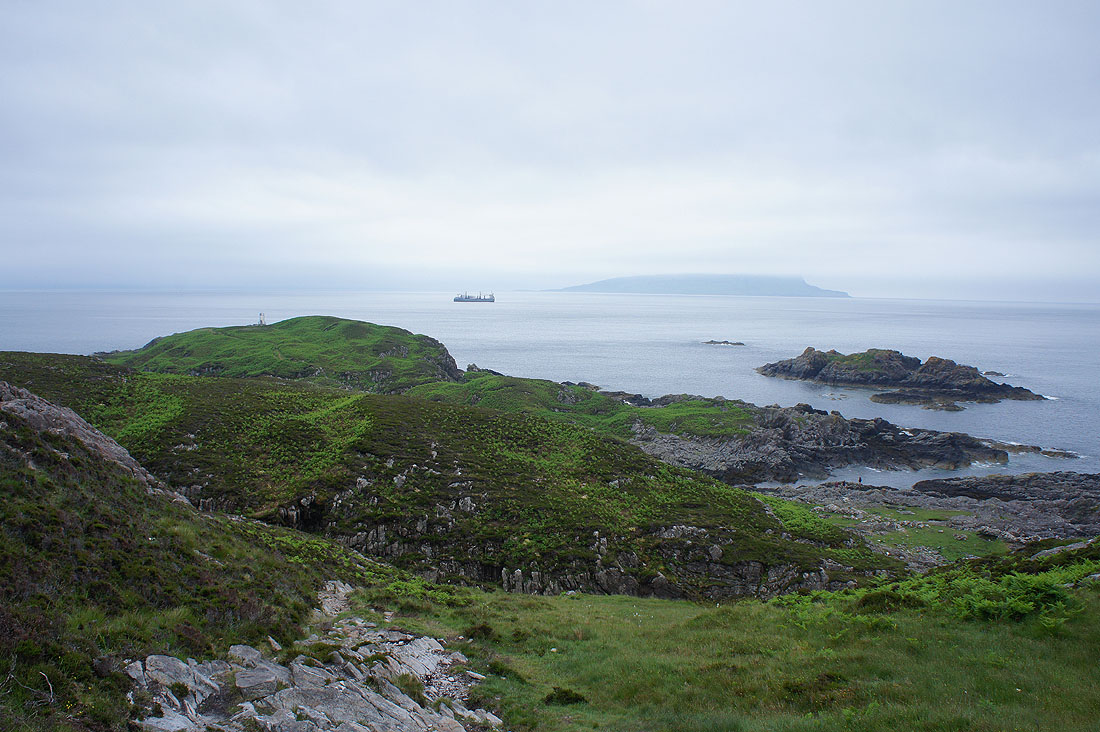
The island of Eigg across the sea to the southwest
A rough and stony track heads across the moors
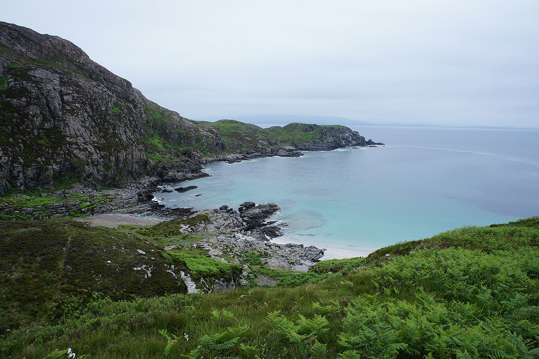
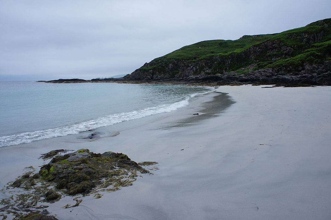
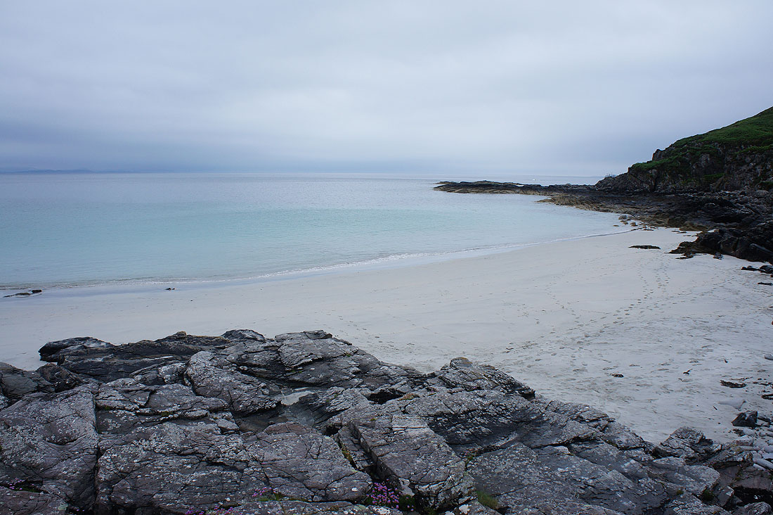
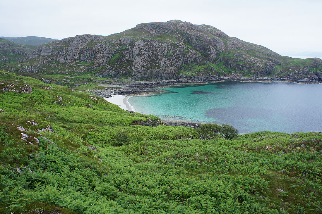
I pass the beach at Sandy Bay, Camas Daraich for the first time today. I'll go down to it on the way back and hopefully the tide will have gone out a bit.
Creag Mhor
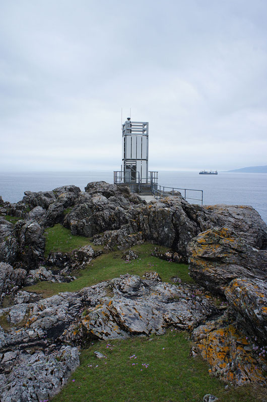
I arrive at the Point of Sleat, the southernmost point of Skye and the automated lighthouse there. I'd imagined it to be an old stone built structure.
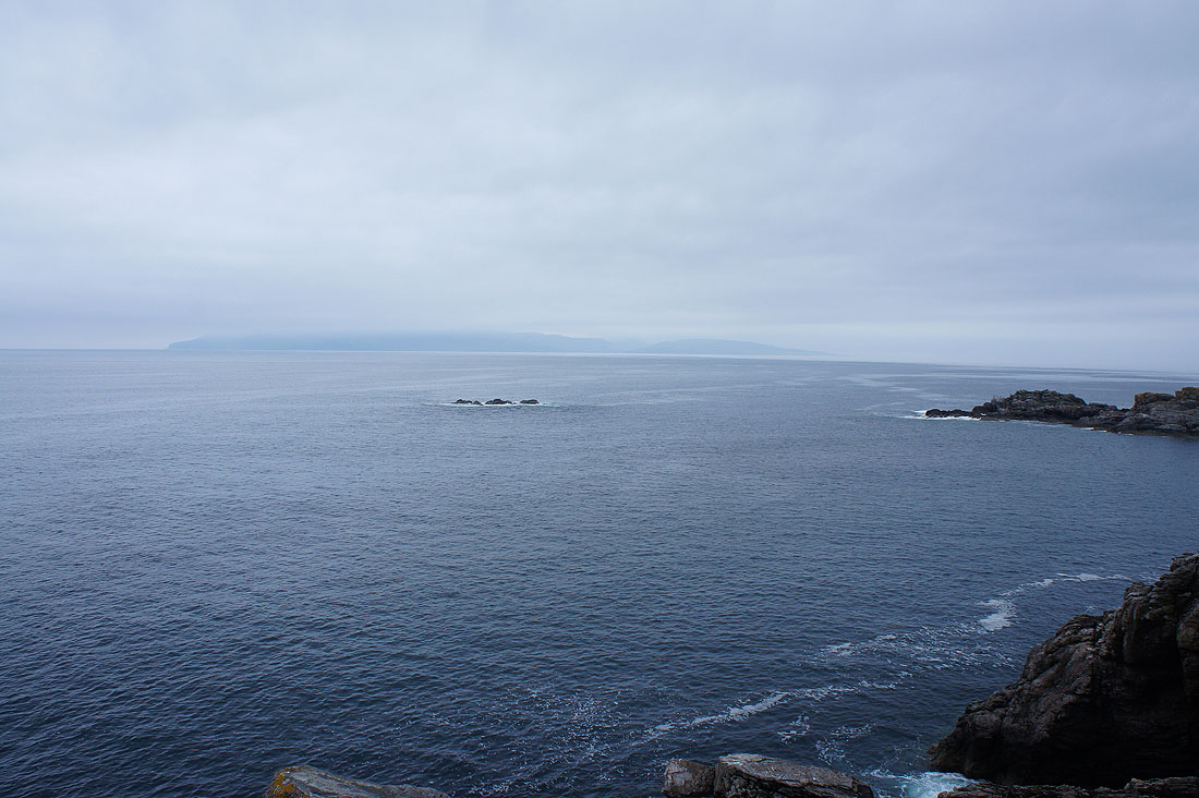
Looking west to a cloud shrouded Isle of Rum
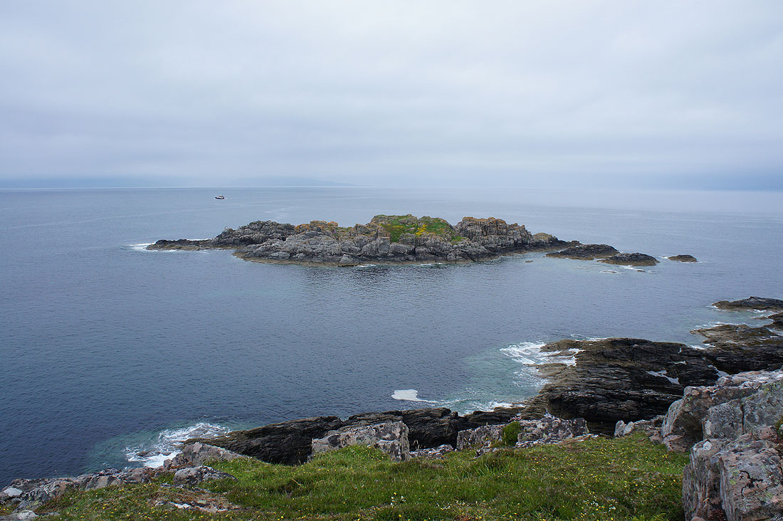
Eilean Sgorach
Looking north up the west coast
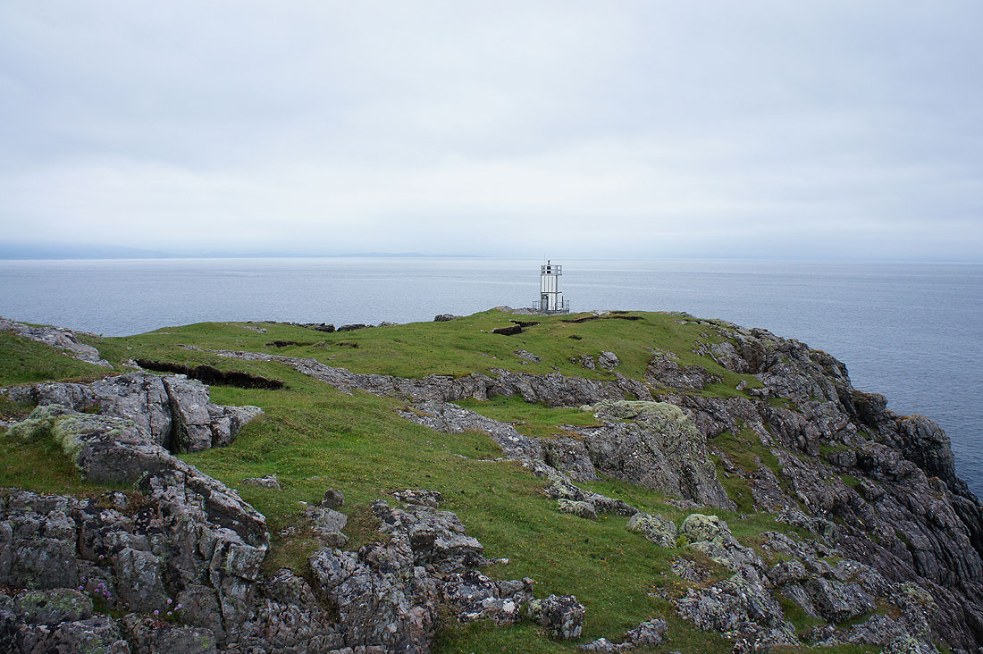
The Point of Sleat
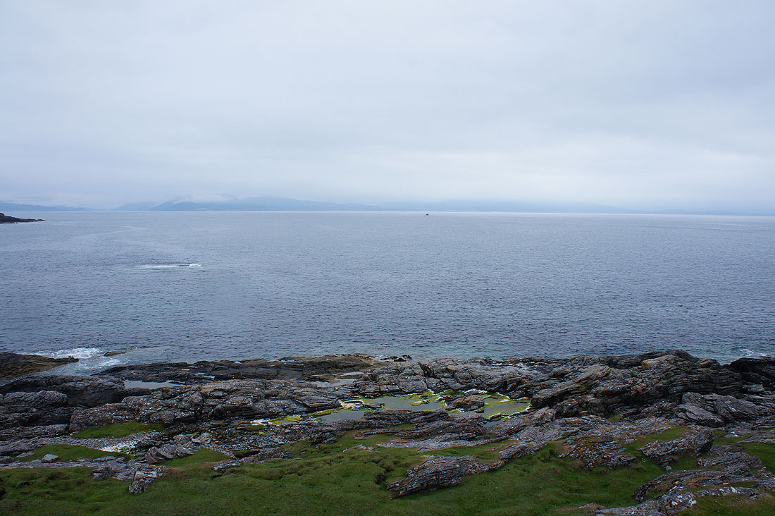
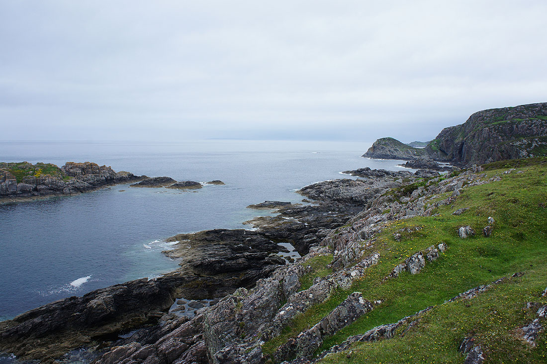
Looking east across to the mainland. I think that I can make out Loch Nevis and Mallaig over there.
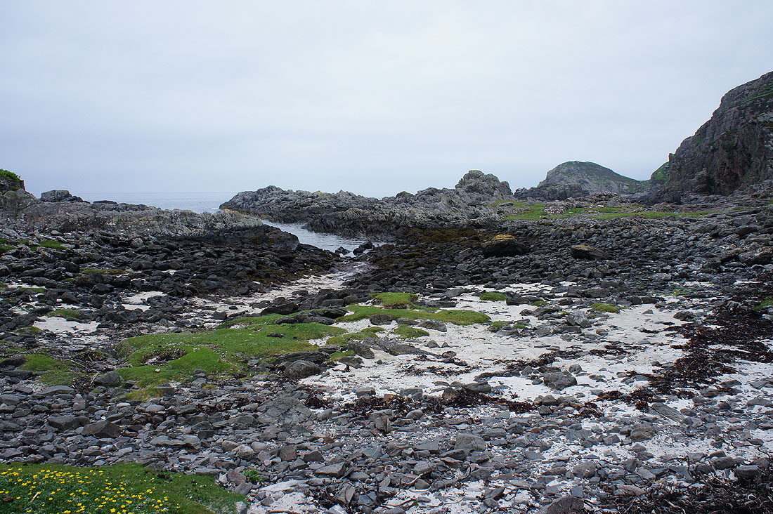
On the way back and I pass a rocky inlet. The tide has gone out a bit and exposed some bright sand.
Looking back to the Point of Sleat and the cloud is now low enough to sit on the hills on Eigg.
Back above Sandy Bay
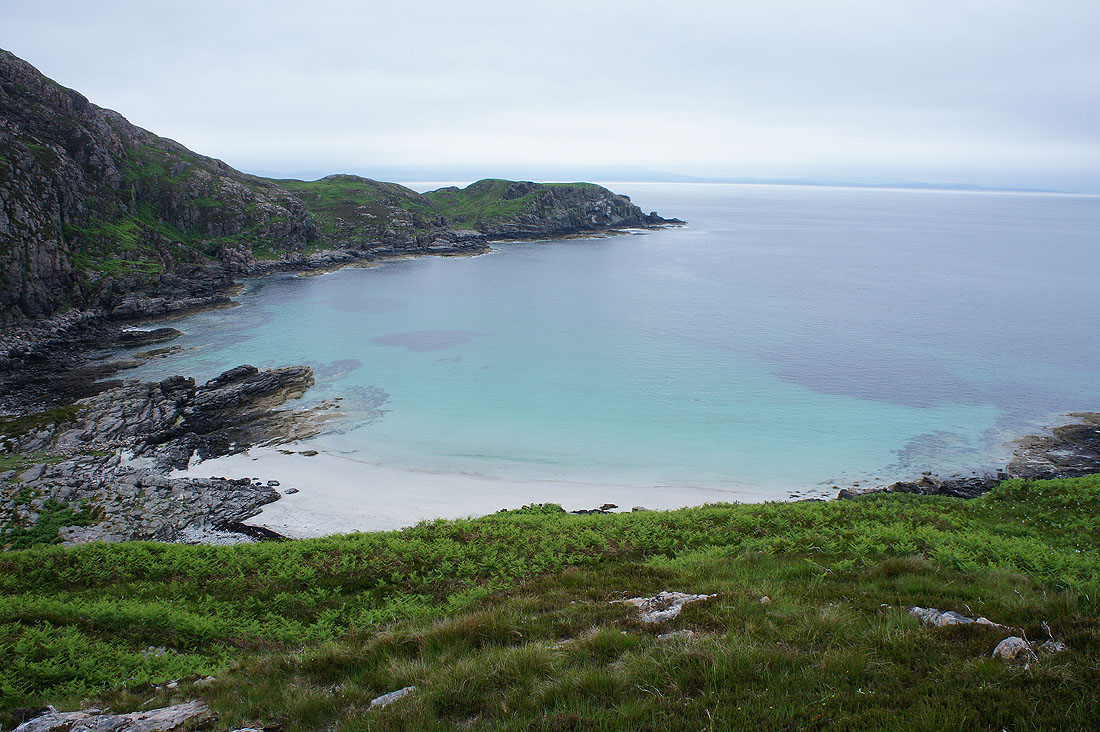
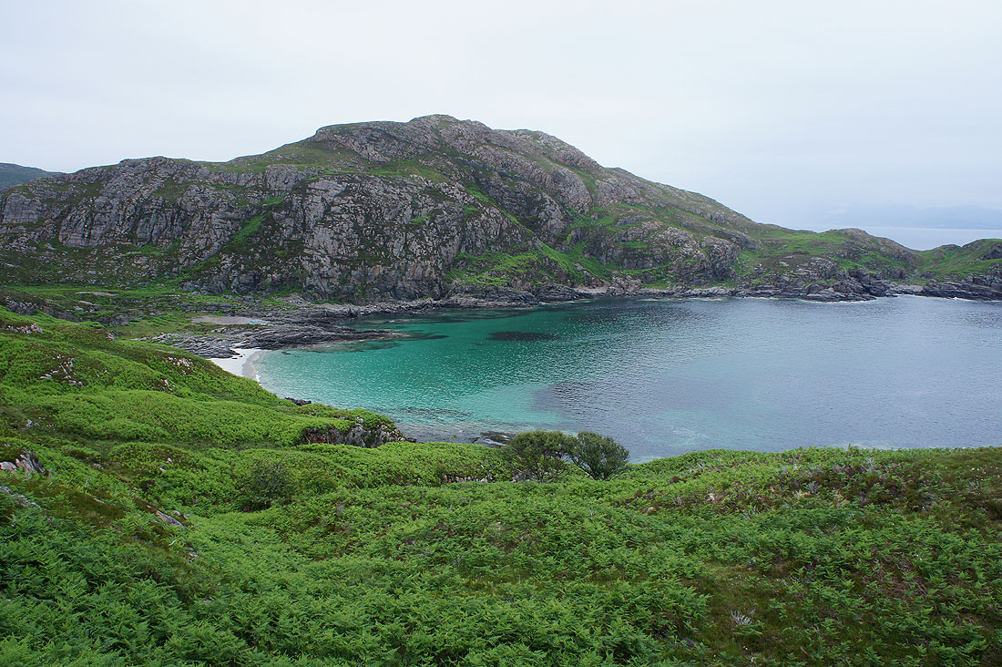
The tide has gone out a bit but I can see just how much sand would be exposed at low tide. It would be a lovely beach.
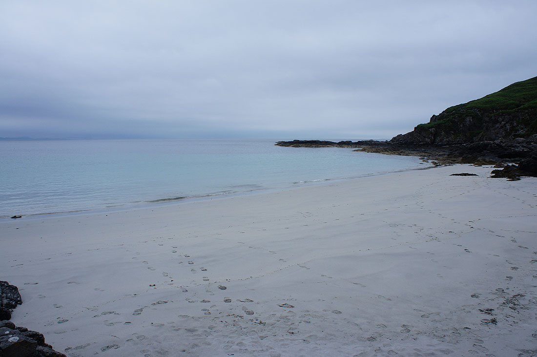
I finish my walks on Skye with a visit to the beach at Sandy Bay...