10th June 2018 - Plover Hill and Penyghent
Walk Details
Distance walked: 12.2 miles
Total ascent: 1867 ft
OS map used: OL30 - Yorkshire Dales, Northern & Central areas & OL2 - Yorkshire Dales, Southern & Western areas
Time taken: 7 hrs
Route description: Dale Head-Pennine Way-Silverdale Road-Dawson Close-New Bridge-Nether Hesleden-Halton Gill-Foxup-Foxup Moor-Plover Hill-Penyghent-Pennine Way-Dale Head
After weeks and weeks of not having to give a second thought about whether I needed to take waterproofs or not when I've headed out at the weekend I took them with me today and needed them. More warm weather was forecast but there was also a reasonable chance that a heavy shower or even a thunderstorm could brew up during the afternoon. I decided on a doing a walk in the Yorkshire Dales, taking in Plover Hill and Penyghent, some of Littondale and walking along the byway across Dawson Close for the first time. I deliberately placed Halton Gill mid-walk so that I could stop and supplement my lunch with tea and cake from Katie's Cuppas. Clouds quickly built up during the morning and I was caught by a heavy shower just as I was arriving in Halton Gill, luckily I was able to find shelter. The next time was on the summit of Penyghent, dark clouds were gathering and when very large raindrops started to fall I scrambled to get my waterproofs on. The shower wasn't that bad, further south down Ribblesdale around Settle was much worse, I could hear thunder in that direction and it looked like they'd had a bit of a downpour as I drove through on the way home.
From the roadside at Dale Head on the Silverdale Road I walked north along the road to take the byway across Dawson Close to New Bridge in Littondale. When I reached New Bridge I took the footpath up the valley to Nether Hesleden and then on to Halton Gill Bridge. I went up into Halton Gill to have my lunch at Katie's Cuppas before returning to Halton Gill Bridge to take the footpath north by the west bank of the River Skirfare to Foxup. From Foxup I took the bridleway west across Foxup Moor towards Horton-in-Ribblesdale until I reached the fingerpost for the path up Plover Hill. After climbing to the top of Plover Hill I made my way south across the moor to reach the summit of Penyghent. Following the Pennine Way took me back to where I was parked by the roadside at Dale Head.
Route map
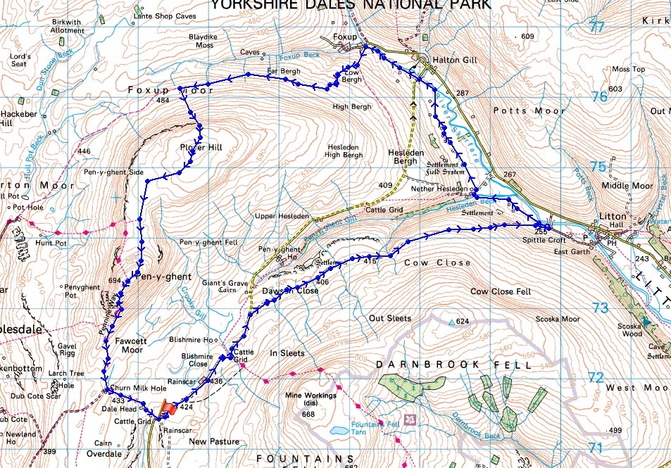
© Crown copyright. All rights reserved. License number PU 100034184.
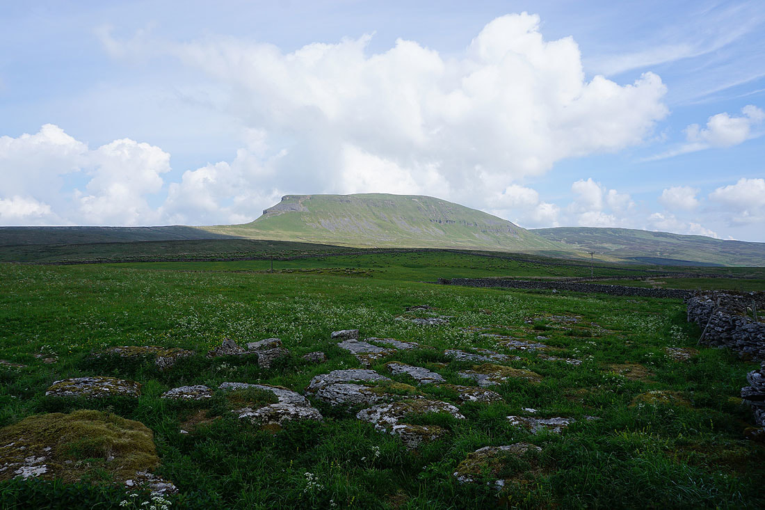
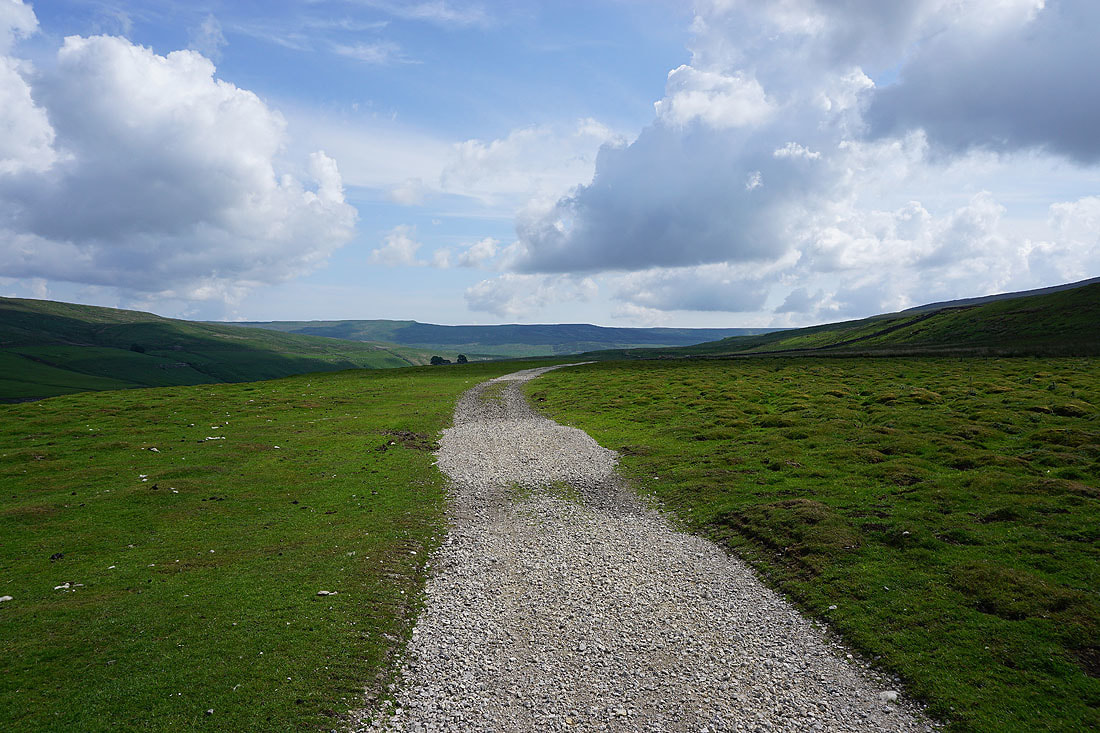
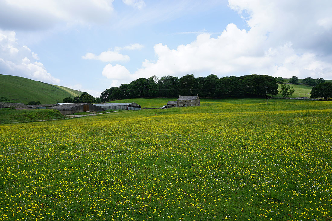
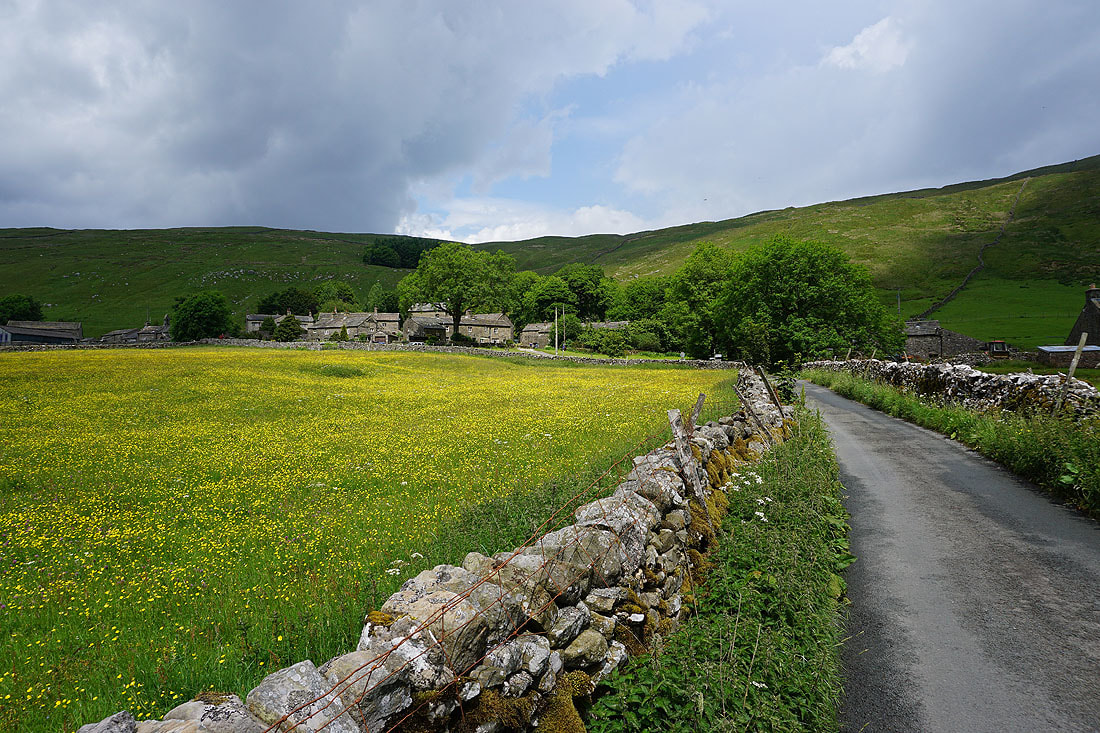
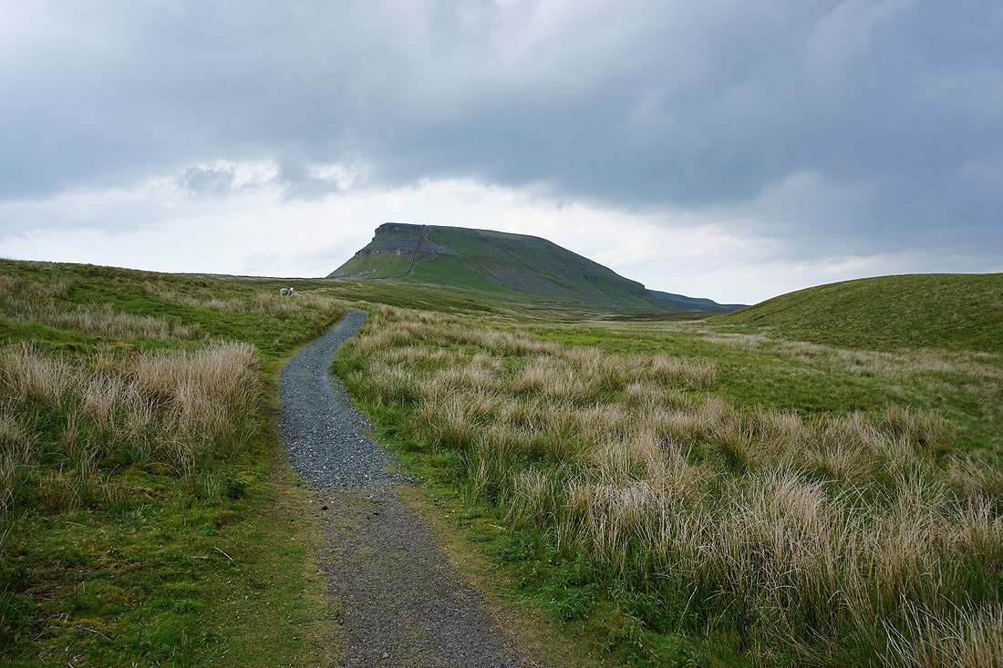
Penyghent from where I started, by the roadside at Dale Head
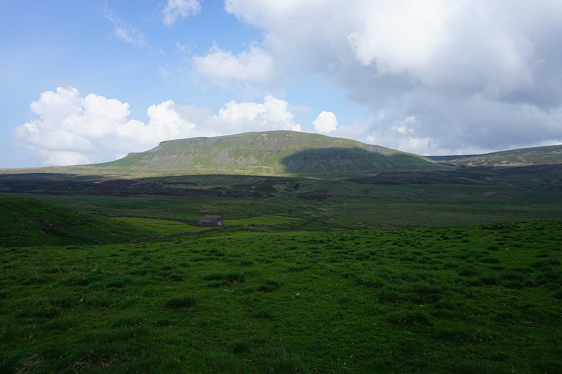
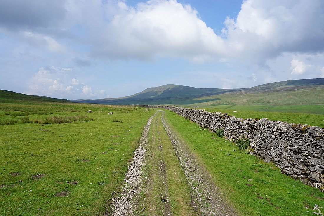
and again, behind the barn of Blishmire House
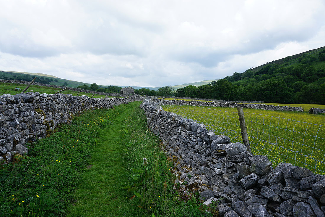
I leave the Silverdale Road behind and take the byway to New Bridge in Littondale..
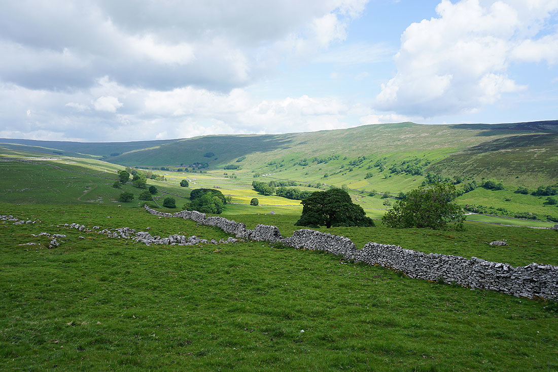
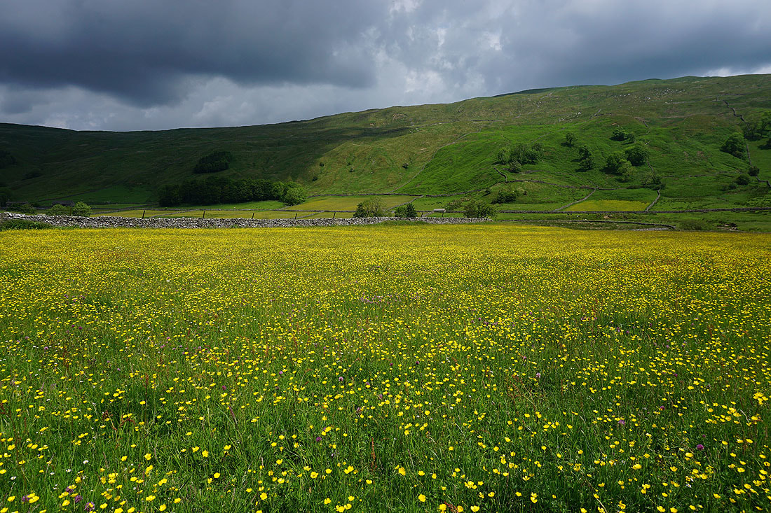
Looking back to Penyghent
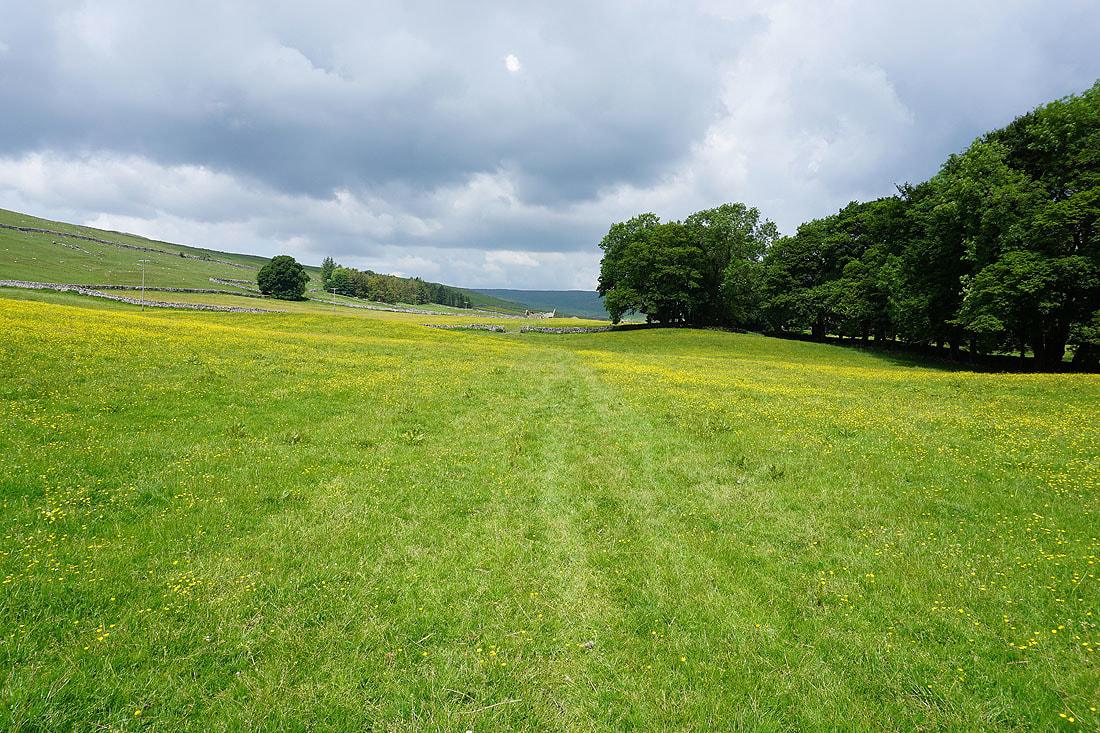
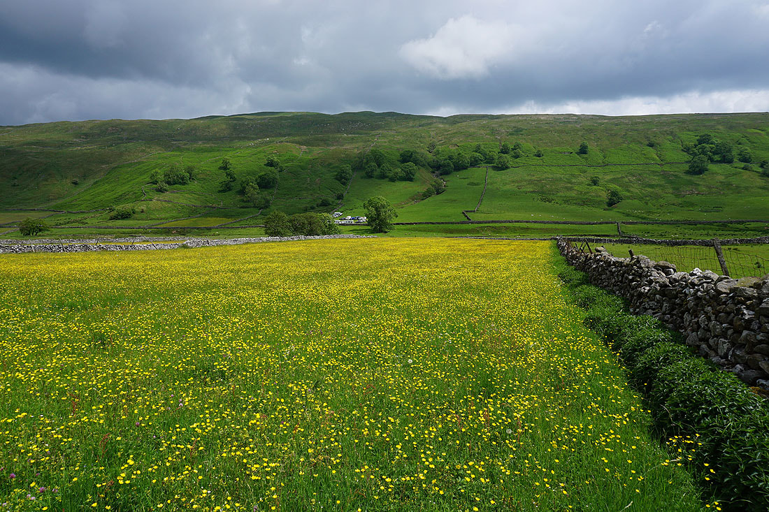
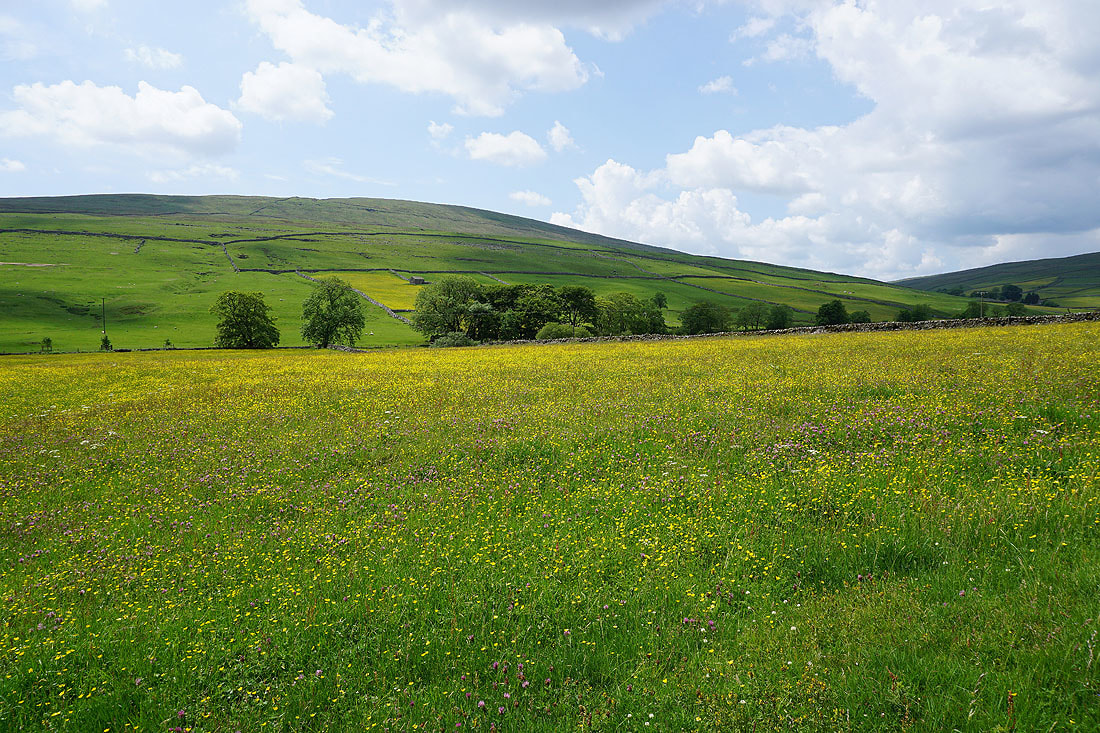
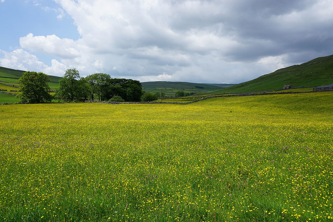
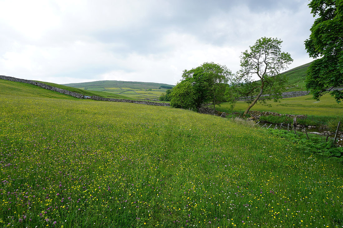
Buttercup filled fields..
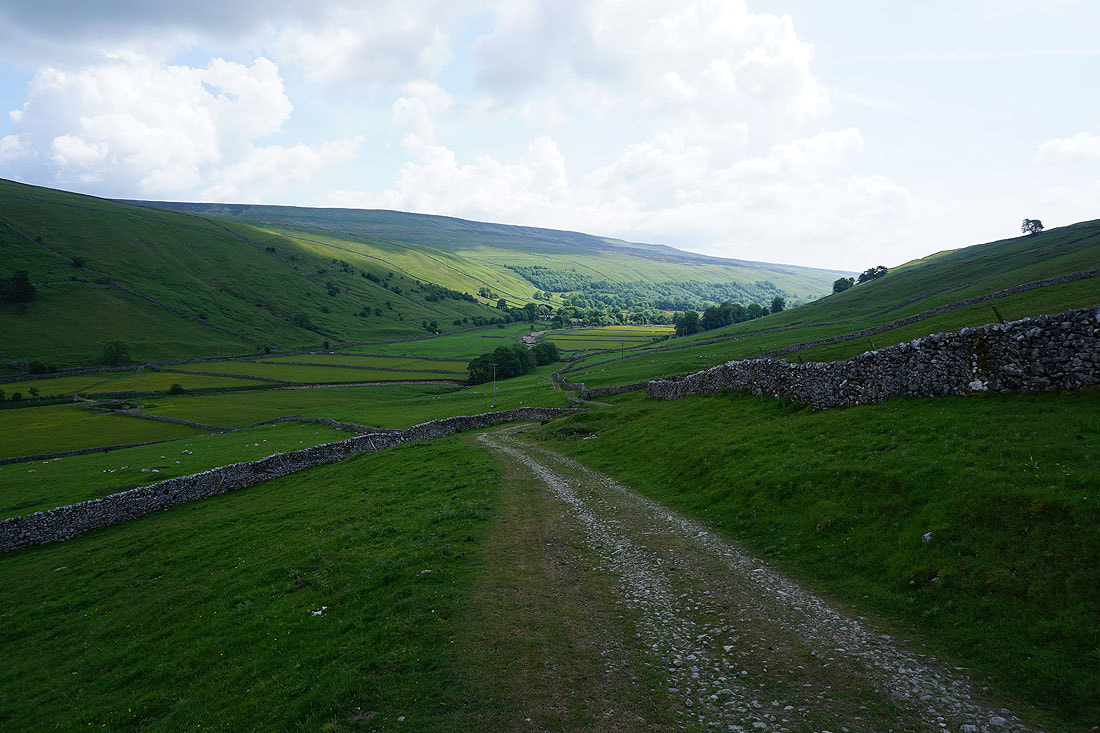
..as I head down into Littondale
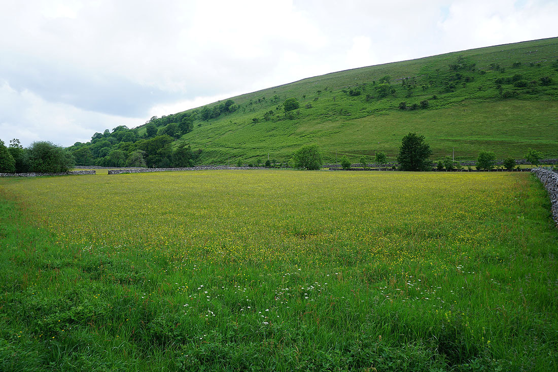
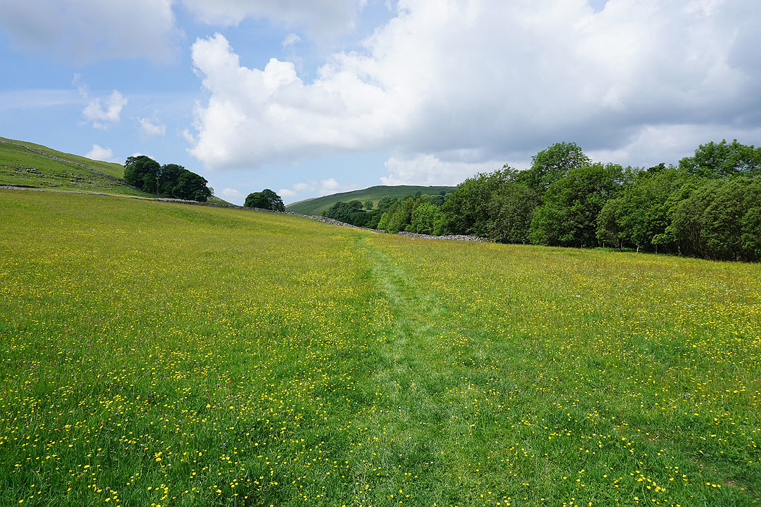
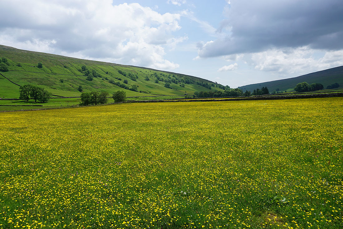
Lots of buttercup filled fields to enjoy as I follow the path up the valley to Nether Hesleden and the sun is out from time to time....
Nether Hesleden
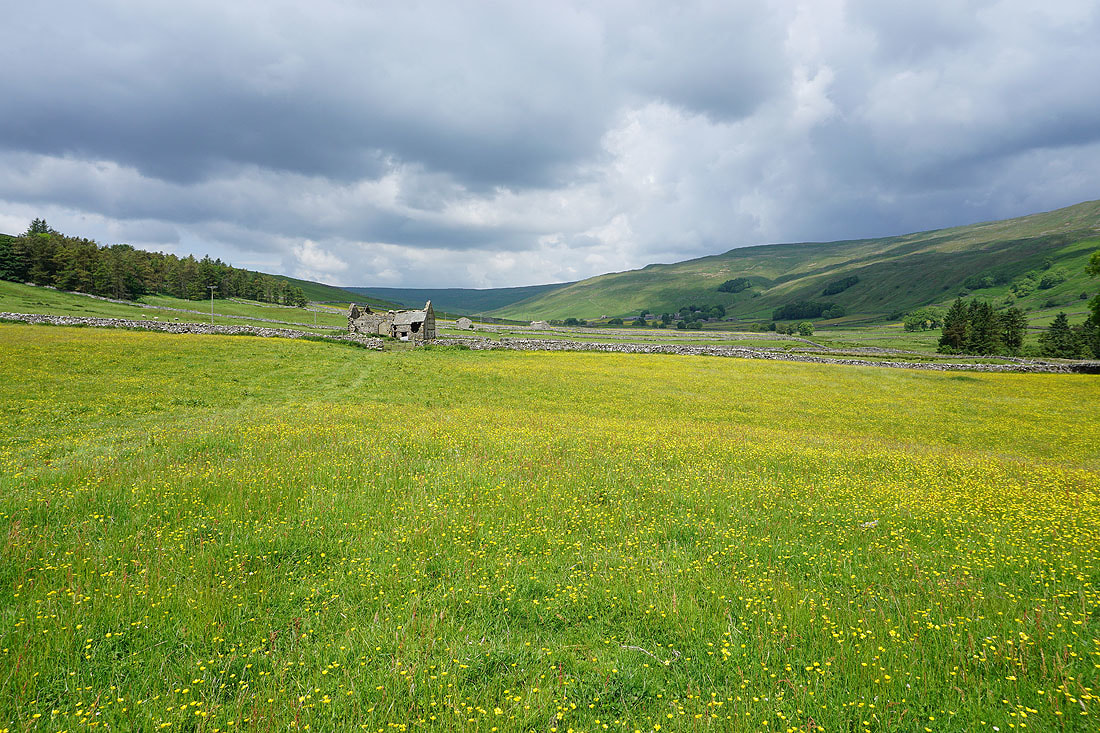
Now on the path to Halton Gill and there's more to come. I did notice the dark clouds that were gathering towards the head of the valley.........
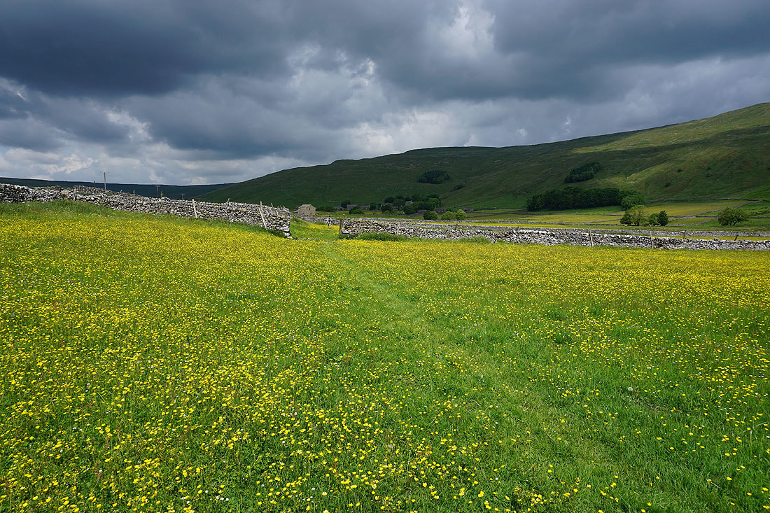
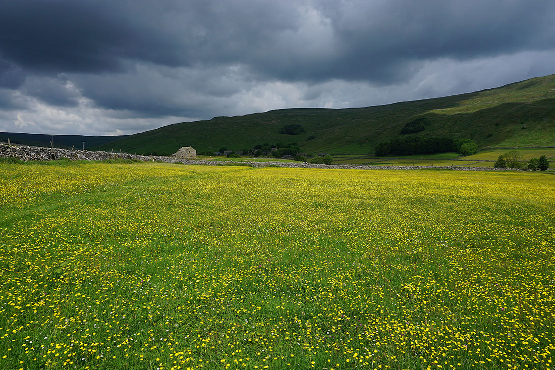
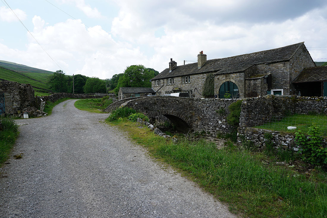
I had to find shelter from a heavy shower while I was in Halton Gill. Lunch was had here and I had tea and cake from Katie's Cuppas. Looking across to the eastern slopes of Plover Hill from Halton Gill..
Halton Gill from Halton Gill Bridge
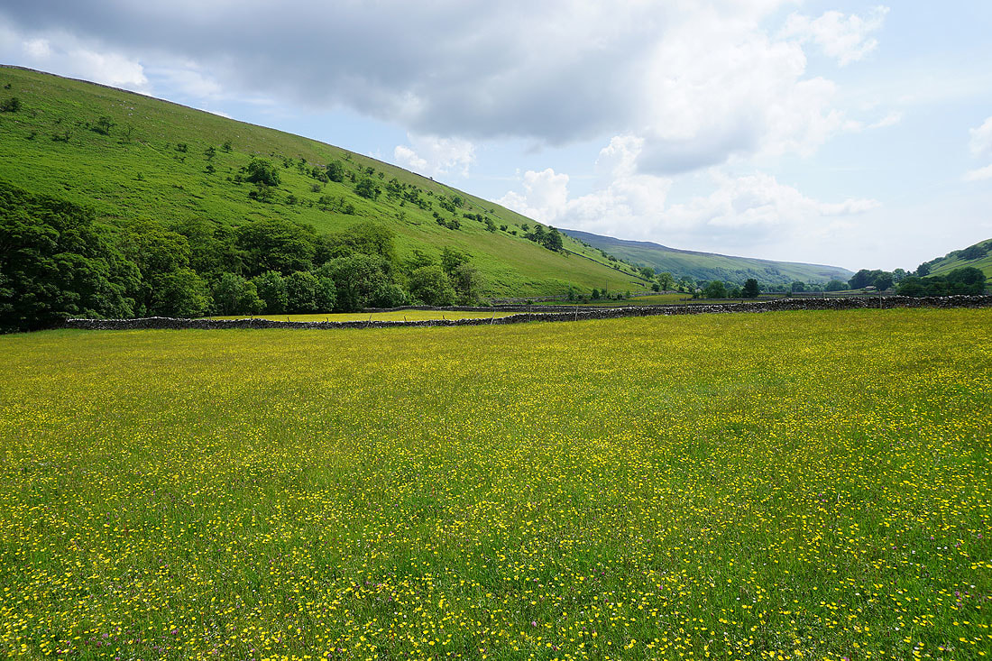
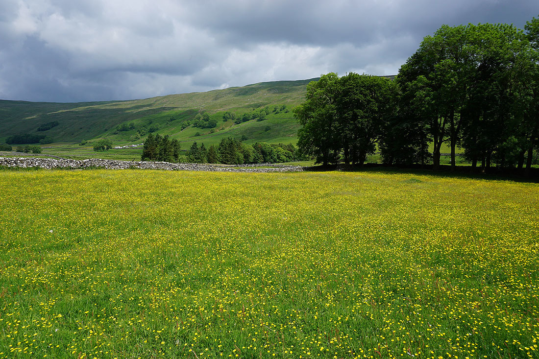
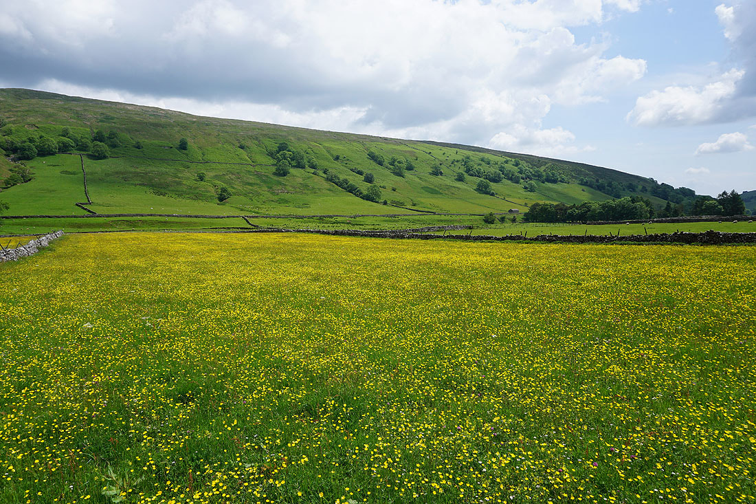
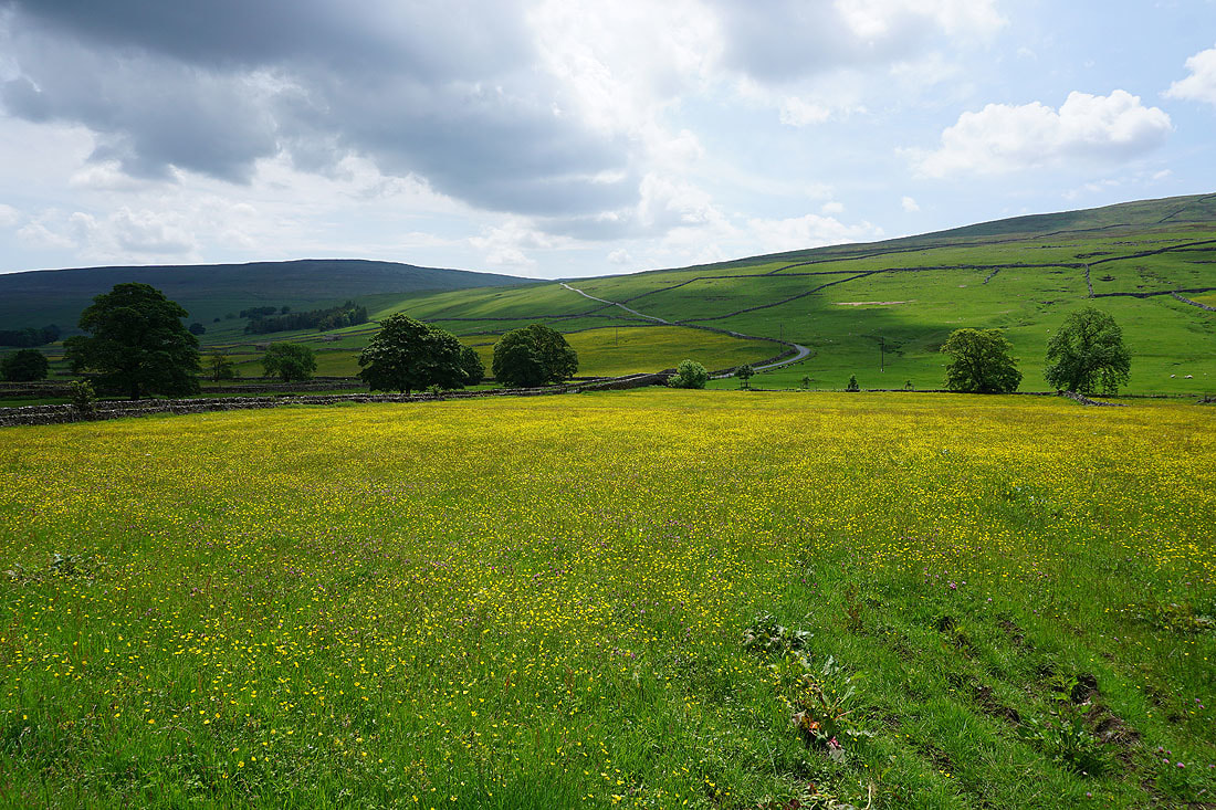
One last shot of a buttercup filled field at Halton Gill
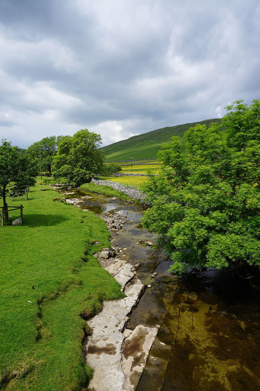
The River Skirfare
Looking across the River Skirfare to Halton Gill..
..as I follow the path to Foxup
In the hamlet of Foxup
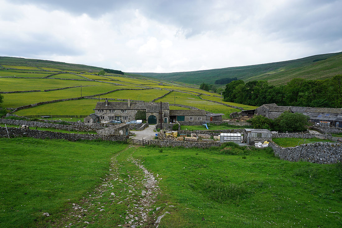
Foxup as I take the bridleway to Foxup Moor
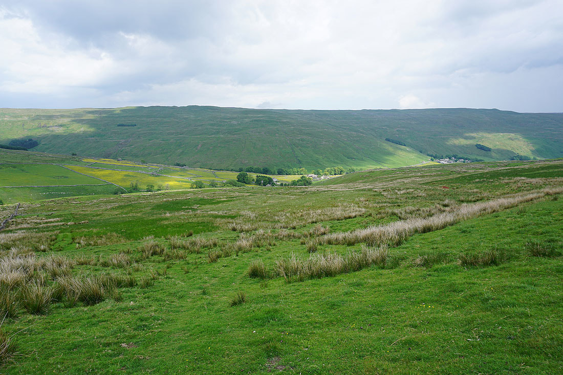
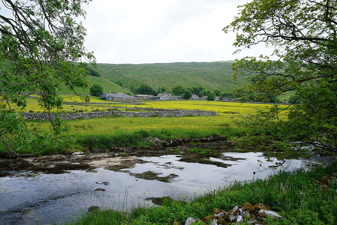
Looking back to Foxup and Halton Gill in Littondale
Looking north across Blaydike Moss to Cosh Knott and High Green Field Knott as I reach the top of the bridleway
Ingleborough also comes into view
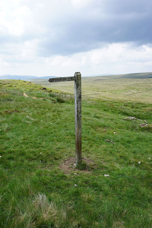
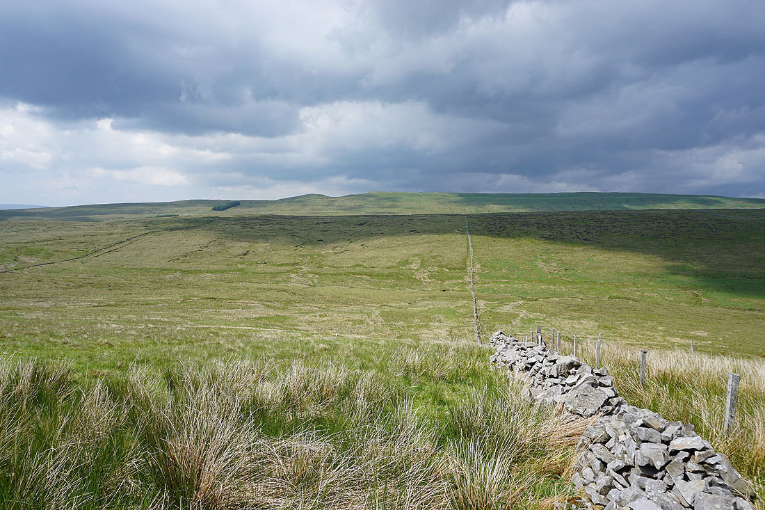
The bridleway is left behind for the ascent of Plover Hill
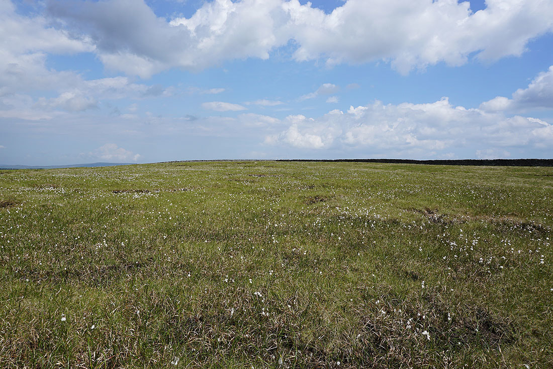
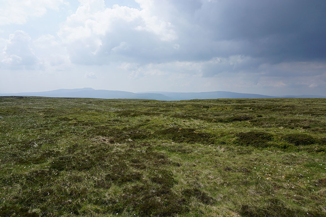
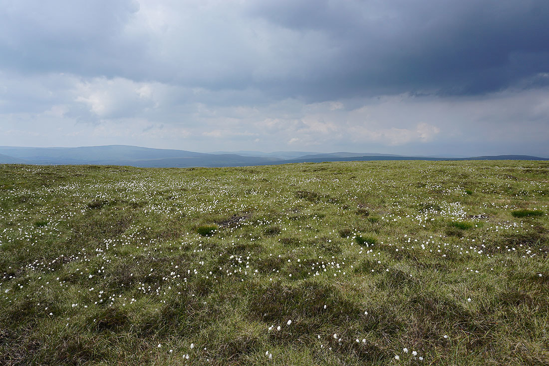
Cotton grass and blue skies on Plover Hill
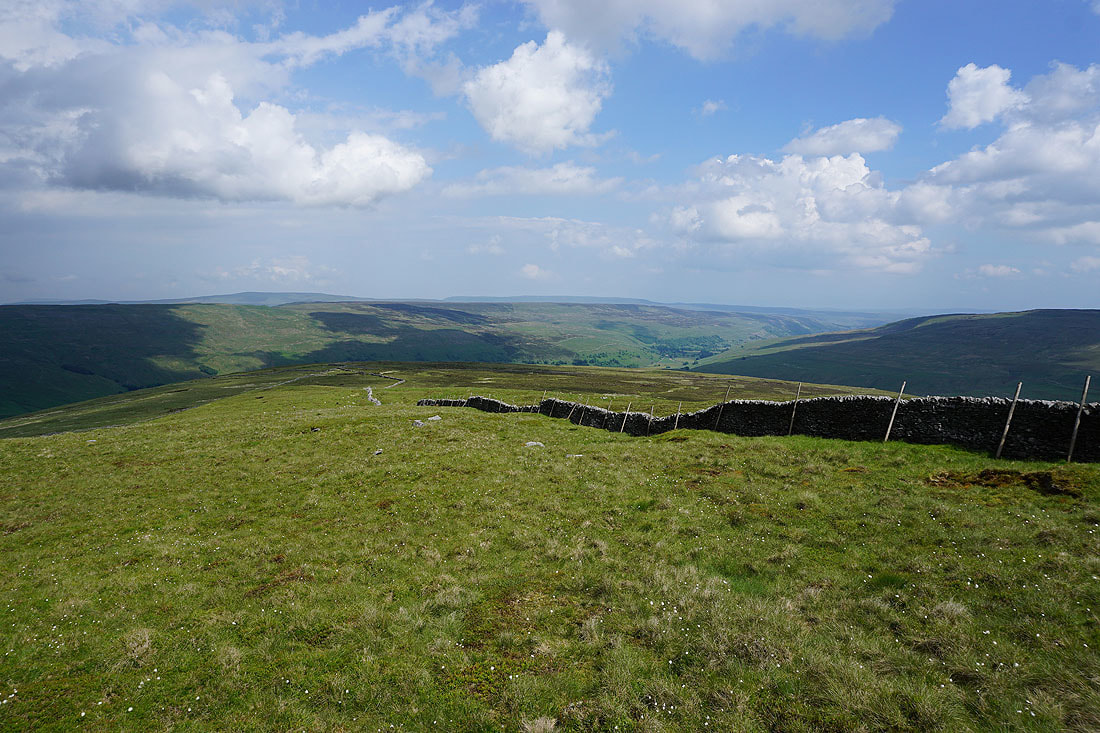
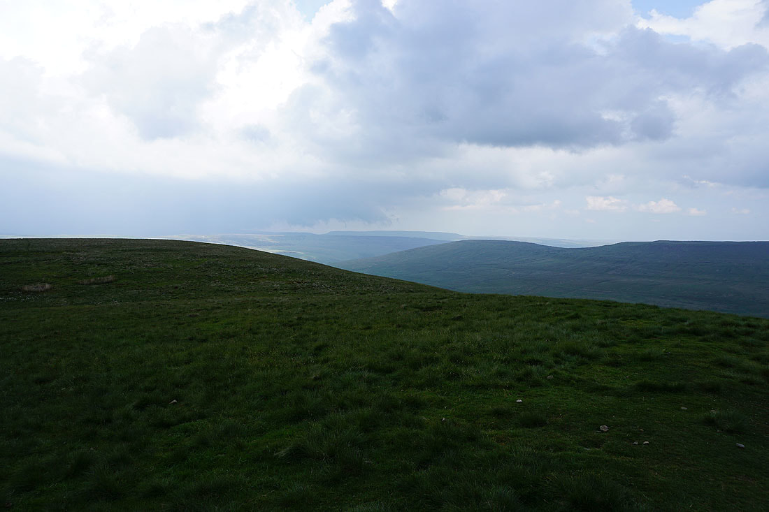
A view of Littondale with Buckden Pike and Great Whernside in the distance from the eastern side of the hill
Meanwhile there are dark clouds to the north towards Wensleydale..
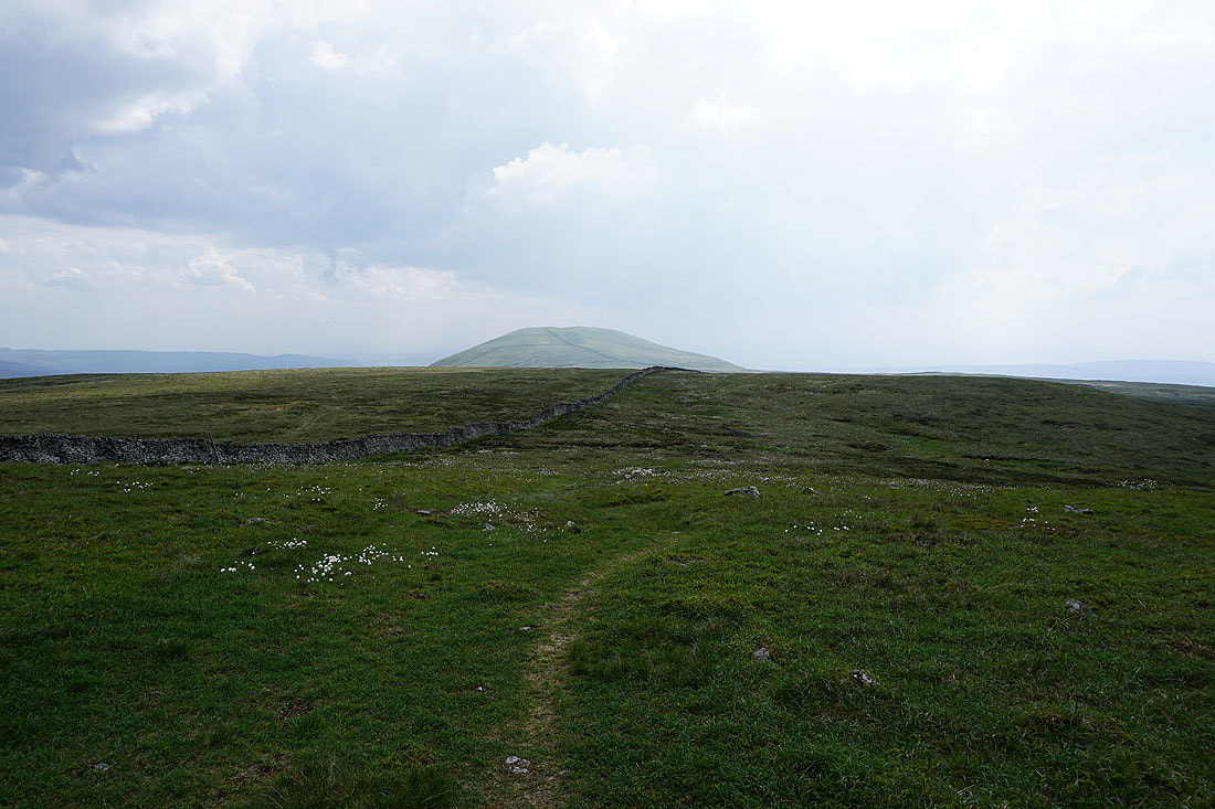
Heading for Penyghent
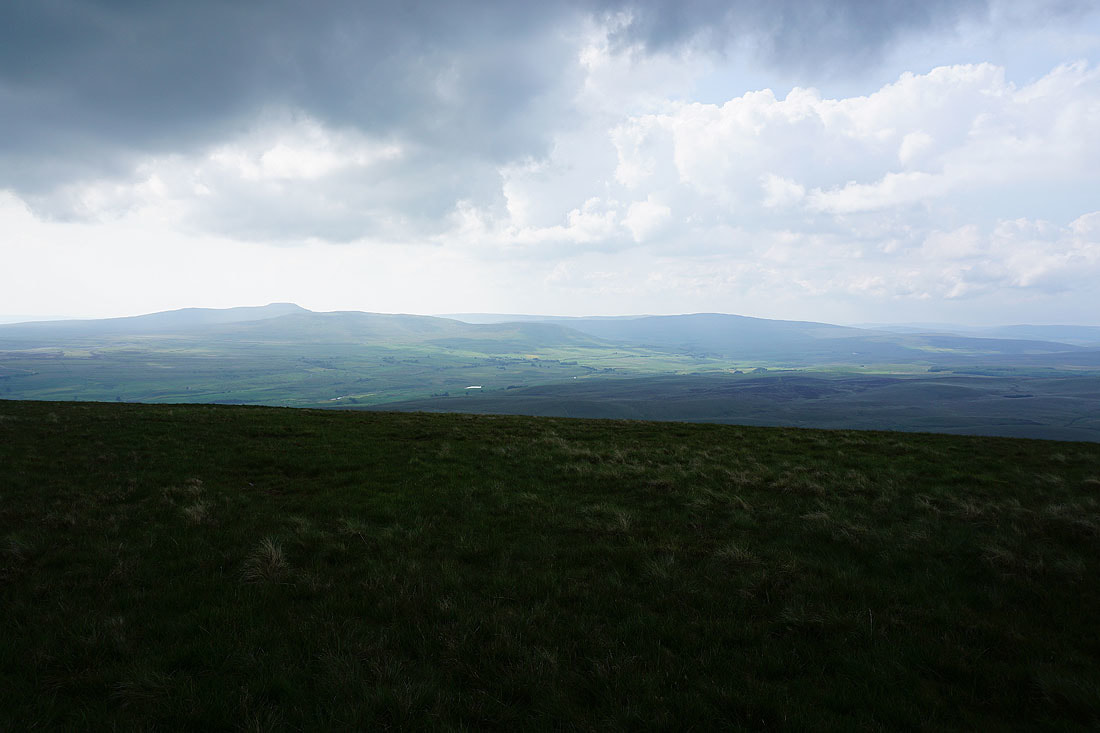
Ingleborough and Whernside from Plover Hill
Whernside, the Howgills, Baugh Fell and Great Knoutberry Hill
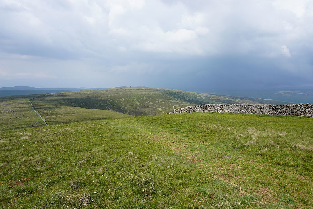
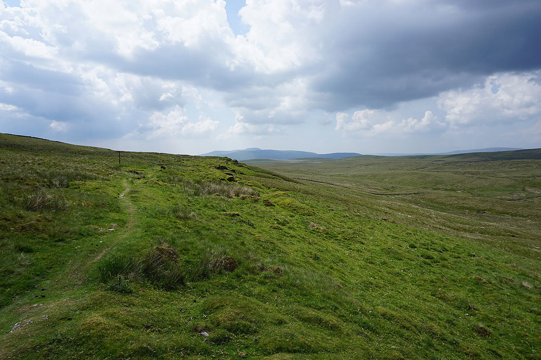
Looking back to Plover Hill from Penyghent
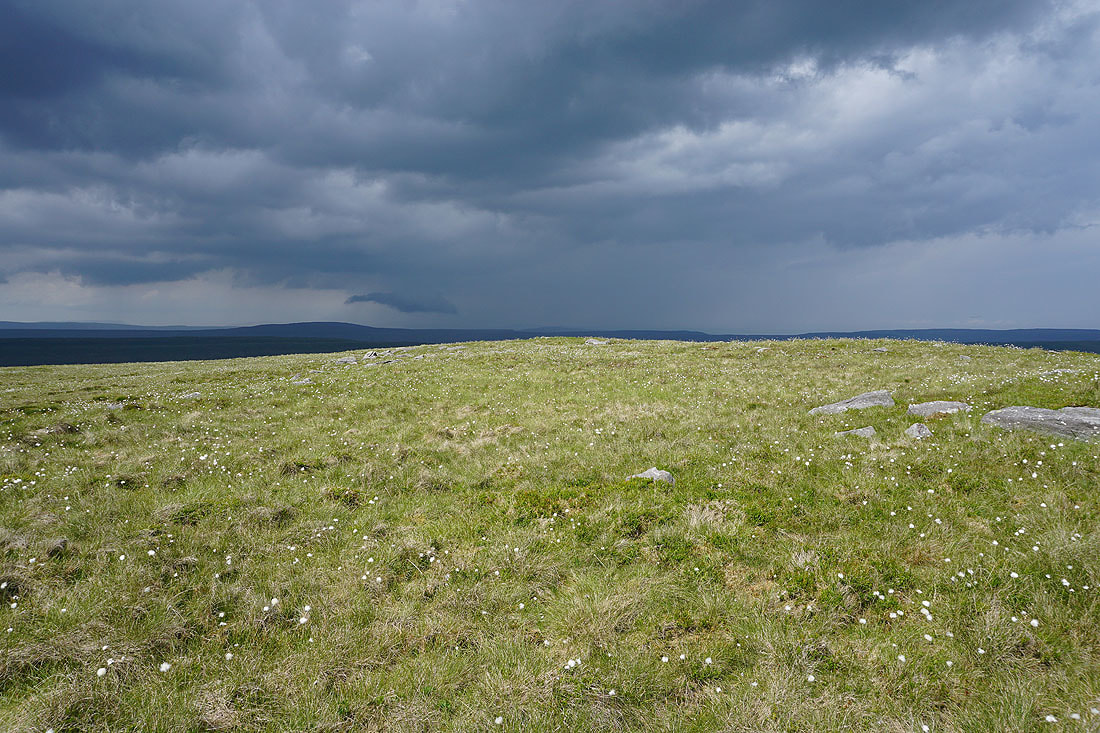
On the summit of Penyghent. Looking down Ribblesdale and there's a heavy shower not that far away and I could hear thunder from it. I was also aware of the dark clouds that were gathering overhead.
Great Whernside in the distance. Very large drops of rain started to fall at this point, so I put my waterproofs on.
Ingleborough and Whernside
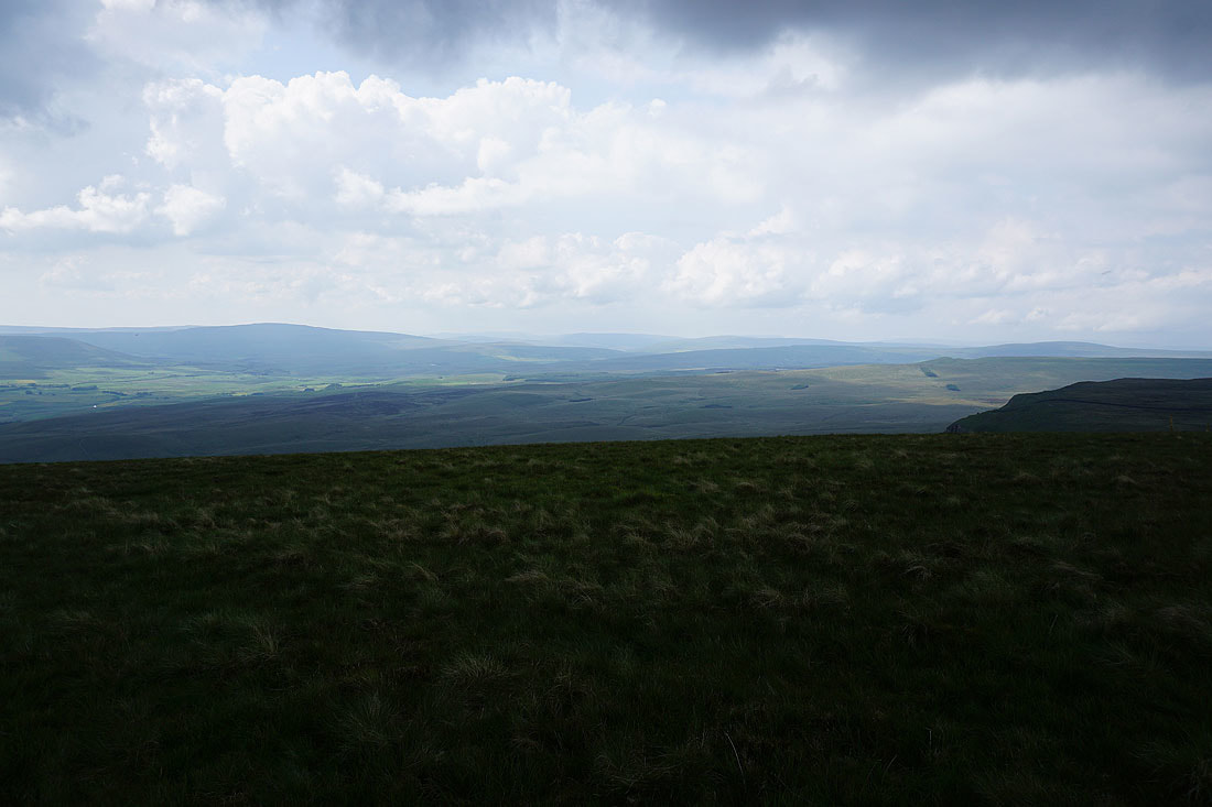
Whernside, the Howgills, Baugh Fell, Great Knoutberry Hill and Dodd Fell Hill. Although it's quite hazy now for seeing the more distant ones.
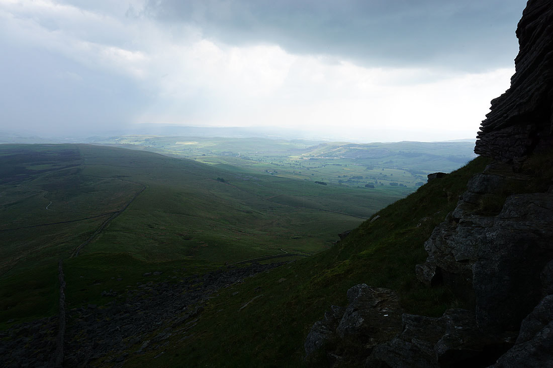
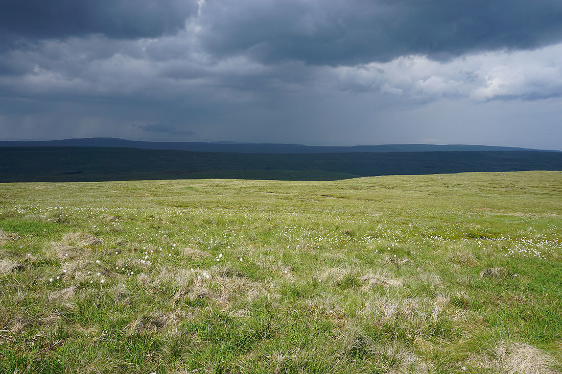
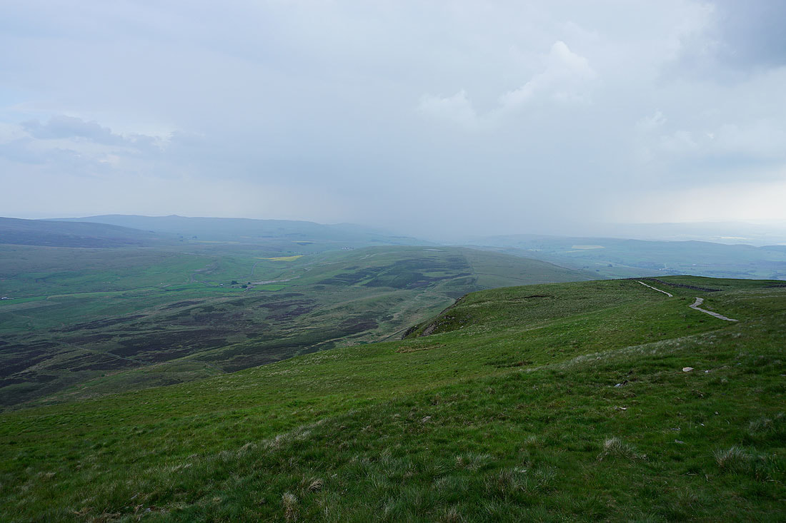
Ribblesdale as I make my way down from Penyghent. It's raining quite heavily at the moment.
A last look back to Penyghent from the Pennine Way back to Dale Head