10th June 2023 - Hoof Stones Height and Bride Stones Moor
Walk Details
Distance walked: 15.0 miles
Total ascent: 2340 ft
OS map used: OL21 - South Pennines
Time taken: 8 hrs
Route description: NT Clough Hole car park-Clough House Farm-Pennine Way-Standing Stone Hill-Reaps Cross-Heptonstall Moor-Raistrick Greave-Clegg Foot-Gorple Upper Reservoir-Shuttleworth Moor-Pennine Bridleway-Gorple Stones-Hare Stones-Black Hameldon-Hoof Stones Height-Kebs Road-Jack Stones-Hawks Stones-Kebs Road-Bride Stones Moor-Eastwood Road-Kebs Road-Dukes Cut-Moorcock Road-Burnt Edge Lane-Pennine Bridleway-Pennine Way-Clough House Farm-NT Clough Hole car park
I decided to stay local this weekend and have a walk in the South Pennines, and after working out where I was going to start from, Hebden Dale, and the area I was going to walk across, the moorland to its west, I just had to come up with a route. What I worked out included Hoof Stones Height, a hill I last visited in April 2022 after a gap of eleven years, and Bride Stones Moor, last visited in June 2021, but linking the two would require a bit of thought. Fortunately, a couple of months of dry weather meant that I could contemplate crossing the moorland south of Hoof Stones Height to reach Kebs Road, I found a clear path could be followed that was firm underfoot. While I was in the neighbourhood I decided to visit Jack Stones and Hawks Stones that on the edge of access land above Kebs Road. Getting to them from the west required a pathless moorland crossing but heading east to pick up the public footpath down to Kebs Road was no problem, enough people had been that way to create a clear trod across the moor. I enjoyed a fine and warm summer's day for tackling this long moorland walk, with lots of blue skies and increasingly warm sunshine, and good visibility for taking in the views.
From the NT Clough Hole car park I crossed Widdop Road and took the footpath opposite up to and around Clough House Farm, and then up the hillside to reach the Pennine Way. I then followed the Pennine Way north until I reached a line of grouse butts to my left in Ling Hollow where I took a path up to the trig point on Standing Stone Hill. Once I'd taken in the view I took footpaths west from Standing Stone Hill to Reaps Cross, and across Heptonstall Moor to pick up the footpath down Clegg Clough to the ruin of Raistrick Greave, down Clegg Foot, and then across a footbridge over Reaps Water to take the track up to Gorple Upper Reservoir. From the dam of the reservoir I made my way up Shuttleworth Moor to the Pennine Bridleway, which I followed west to its highest point at a gate, where I left the trail to visit the Gorple Stones. Once I'd taken in the view I made my way back down to the Pennine Bridleway, crossed it, and then took the path down the moor to Hare Stones, and the south across the moor of Black Hameldon to reach the trig point on Hoof Stones Height, where I stopped for lunch. After this break I took a path south down the moor to reach Kebs Road, walked east along the road until I reached a wall on the left at a junction with a fence, which I crossed, then made my way east along the edge of access land to visit Jack Stones and Hawks Stones. Once I'd taken in the view I continued east across access land to pick up the public footpath down to Kebs Road from Redmires Dam. After a brief walk east along the road I took a footpath on the right to reach Bride Stones Moor. Once I'd taken in the view I made my way out to Eastwood Road, walked north along it to take a footpath on the right to Kebs Road, which I crossed to take the track of Dukes Cut north. I then walked north along Dukes Cut until I reached the track of Moorcock Road, which I walked down and onto Burnt Edge Lane to pick a bridleway on the left down to the top of Brown Hill Lane. After walking down Brown Hill Lane, and New Shaw Lane, I took the track of Hudson Mill Road on the right, which I followed east until I reached the Pennine Way. I took the trail and followed it north until I got back to where I first picked it up in the morning, and from there I retraced my steps back to the NT Clough Hole car park.
Route map
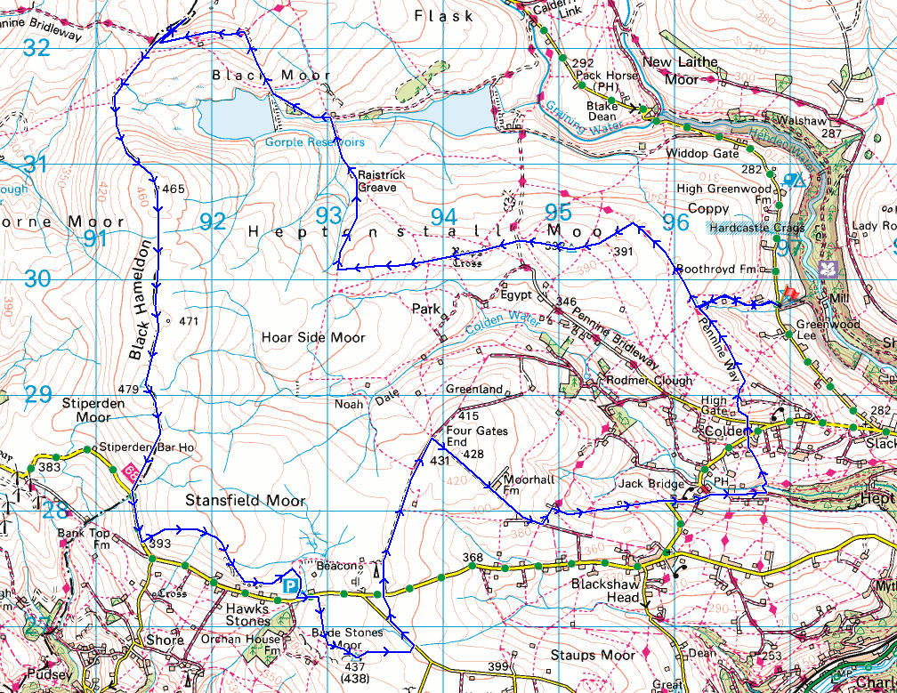
© Crown copyright. All rights reserved. License number PU 100034184.
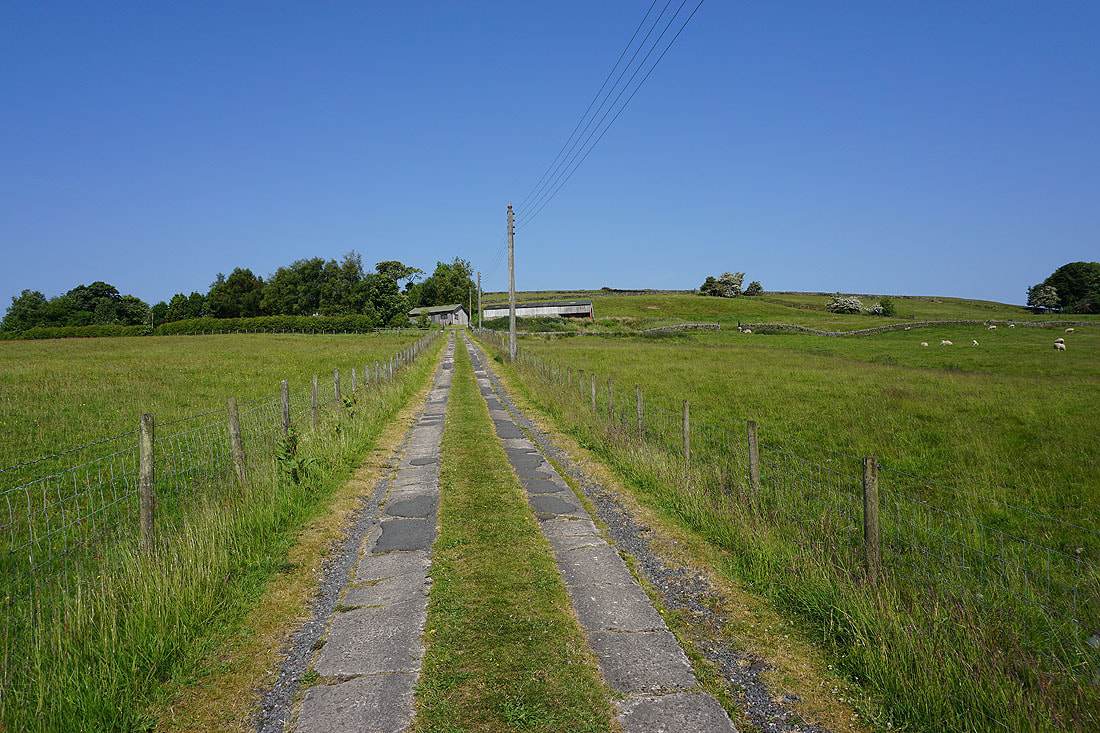
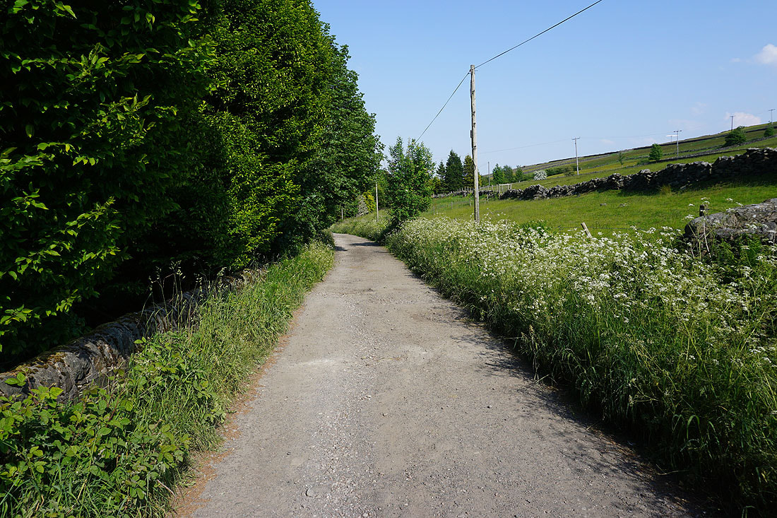
After crossing Widdop Road from the NT Clough Hole car park I take the footpath up to and around Clough House Farm to reach the Pennine Way
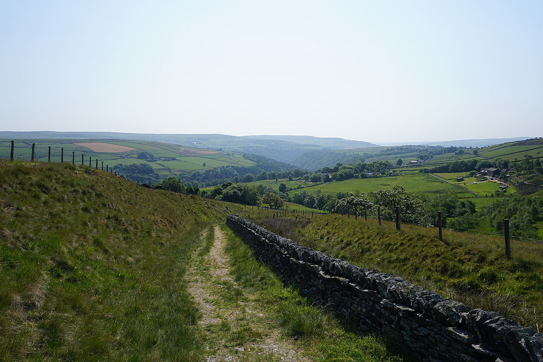
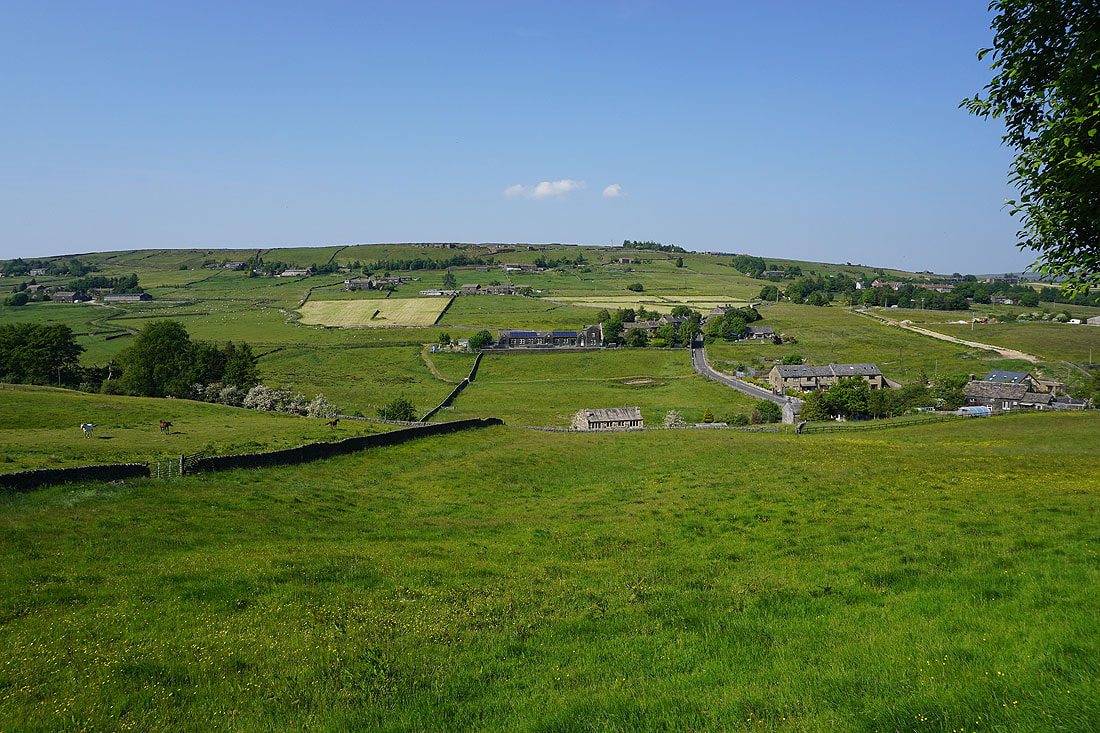
Looking down Hebden Dale from above Clough House Farm
Heading north on the Pennine Way

Looking down Hebden Dale towards Pecket Well and Heptonstall. The hillside on the right will be crossed on my way back.
A bit further on and Widdop Moor and Boulsworth Hill come into view
Leaving the Pennine Way I follow a line of grouse butts up Ling Hollow to reach the trig point on Standing Stone Hill. Looking southeast and south across the moors around Calderdale..
Widdop Moor and Boulsworth Hill to the north
Leaving Standing Stone Hill I head west to Reaps Edge and Heptonstall Moor
The moors around Noah Dale to my left
Taking in the view from the remains of Reaps Cross to Gorple Lower Reservoir, Widdop Moor, and Wadsworth Moor
From Reaps Cross I make my way west across Heptonstall Moor towards Clegg Clough
Looking back across Heptonstall Moor to Standing Stone Hill
Following the footpath down Clegg Clough to the ruin of Raistrick Greave..
and then down by Clegg Foot..
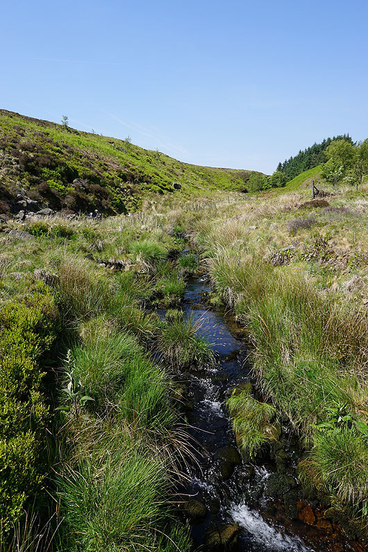
..to cross Reaps Water
Dicken Rocks from the track up to Gorple Upper Reservoir

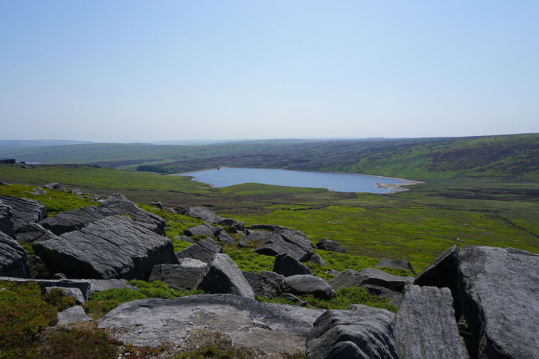
Gorple Upper Reservoir
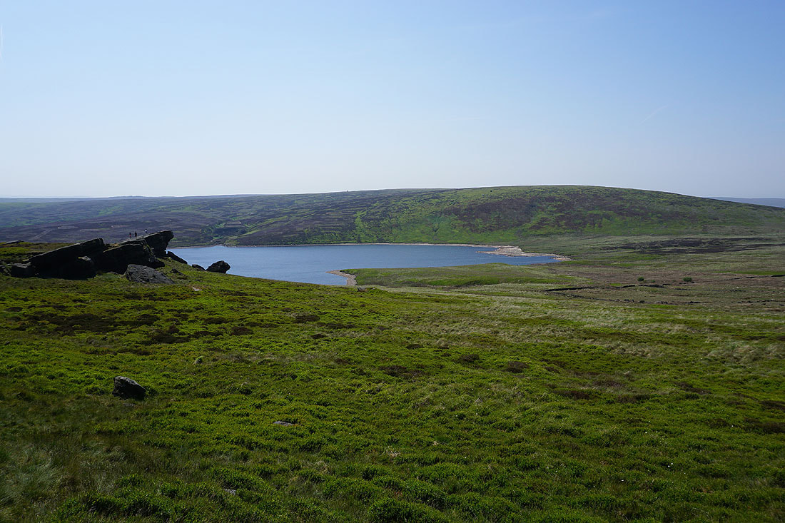
Gorple Upper Reservoir and the moorland of Black Hameldon from Shuttleworth Rocks
Following the Pennine Bridleway west to the Gorple Stones

Pendle Hill in the distance to the right from the top of the Pennine Bridleway. This is where I leave it behind.
Gorple Upper Reservoir from Gorple Stones. I couldn't pass by without paying them a visit.
Hare Stones Hill below on the left, which is where I'll be going next, and Cant Clough Reservoir
Pendle Hill from Gorple Stones
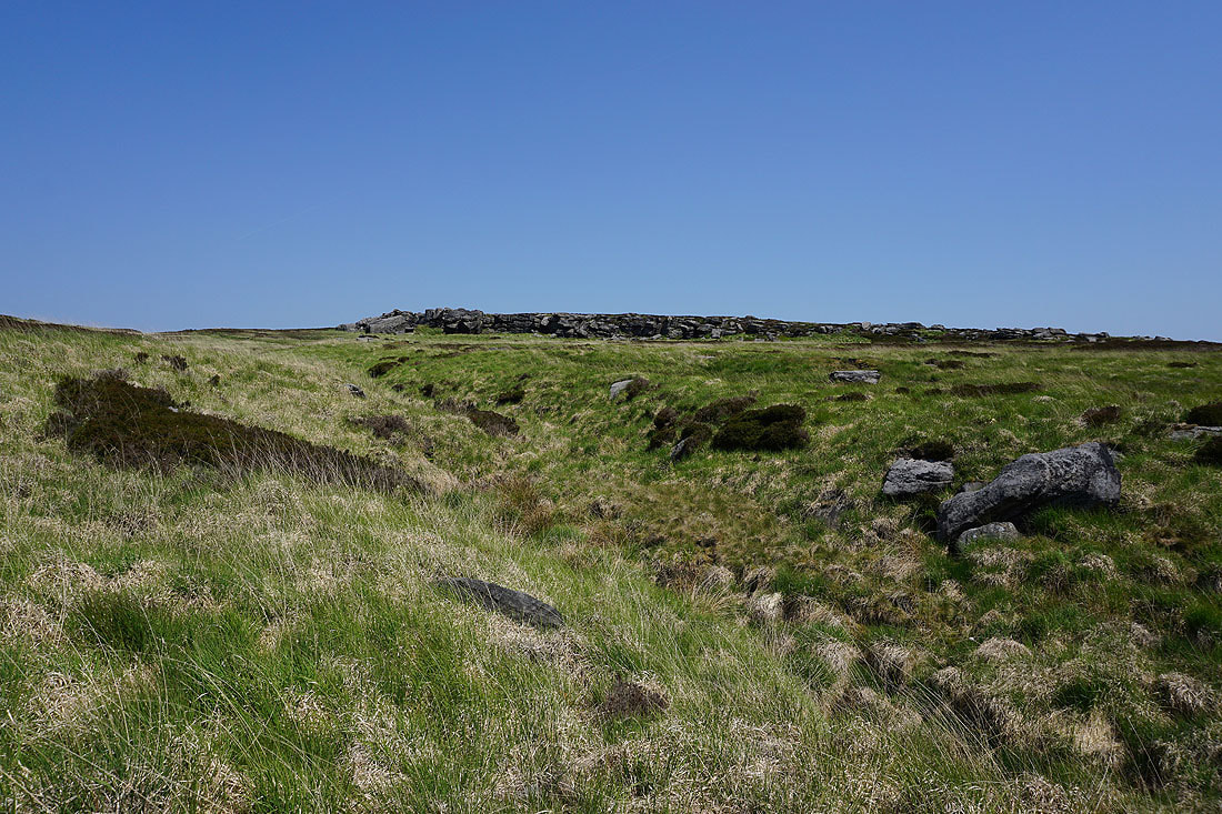
Approaching Hare Stones

Looking back to the Gorple Stones from Hare Stones
Looking back as I follow the fence south up onto the moorland of Black Hameldon, to Pendle Hill, Twiston Moor and Wheathead Height beyond Extwistle Moor
and turning to the right, Gorple Hill
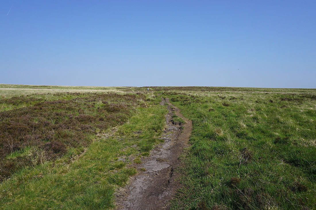
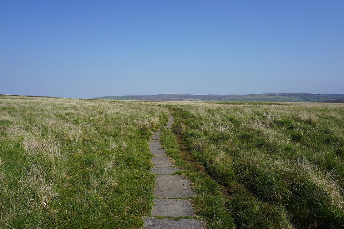
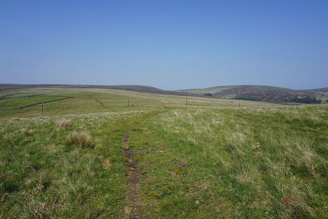
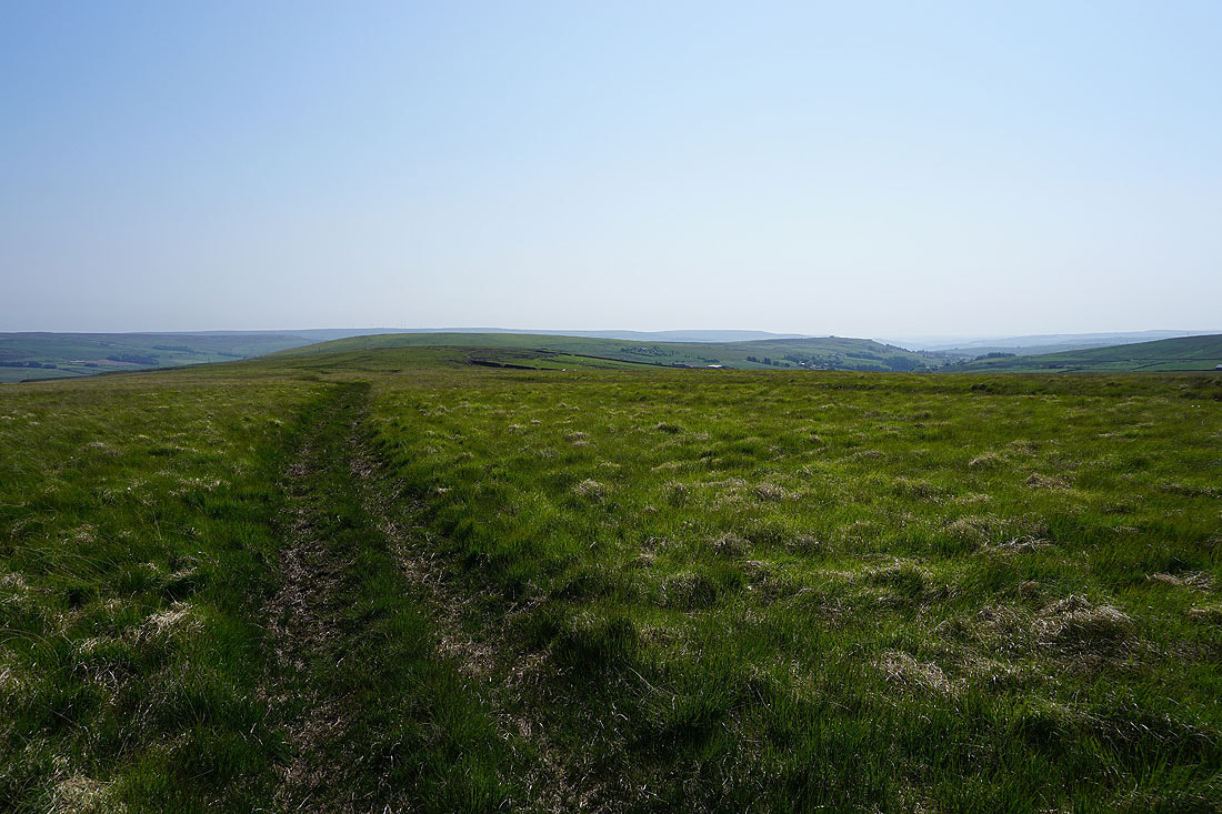
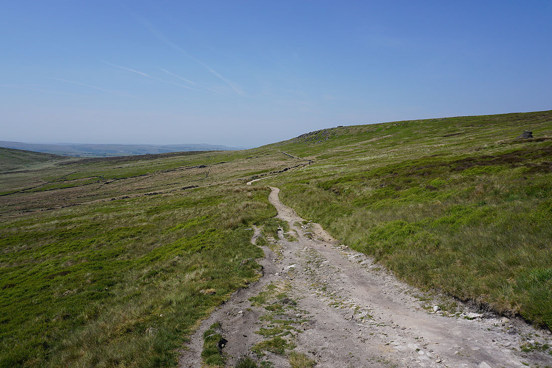
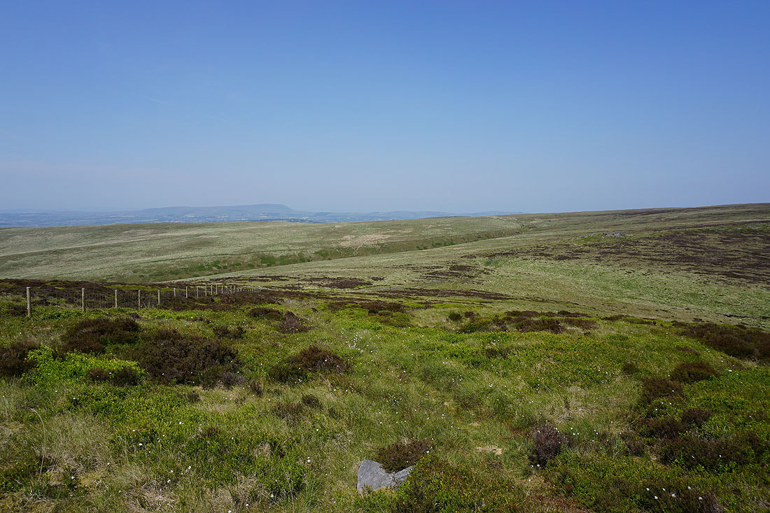
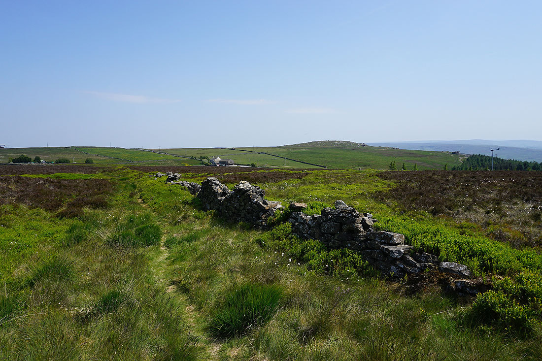
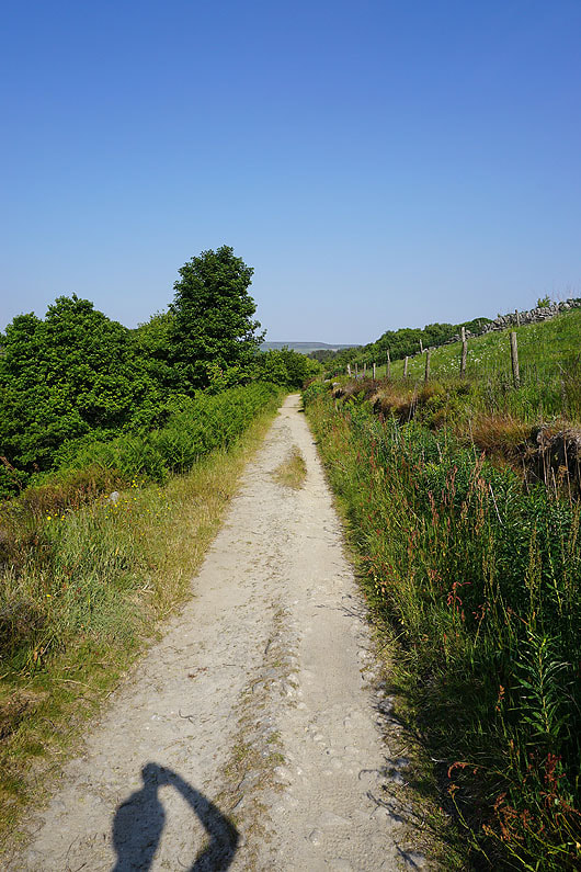
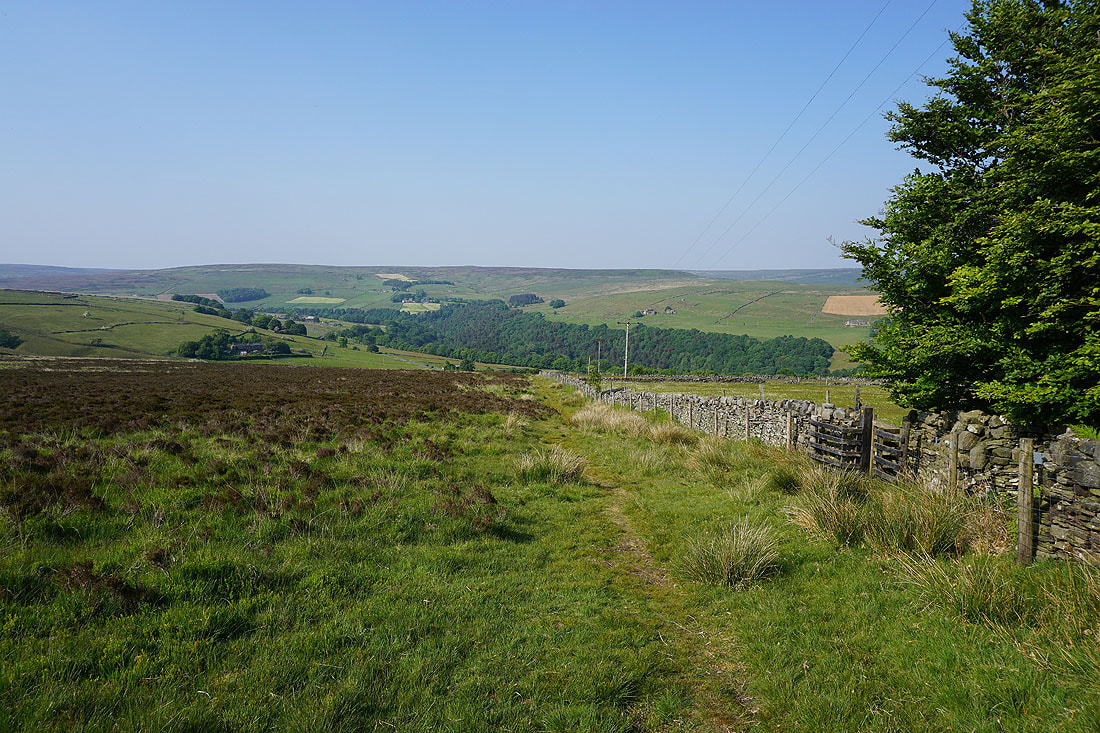
Heading for Hoof Stones Height. The going is mostly firm underfoot.
Looking back across the moorland of Black Hameldon to Boulsworth Hill in the distance
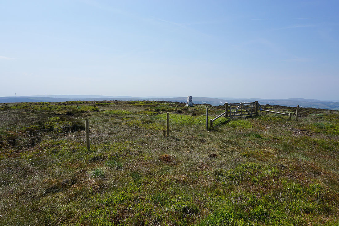
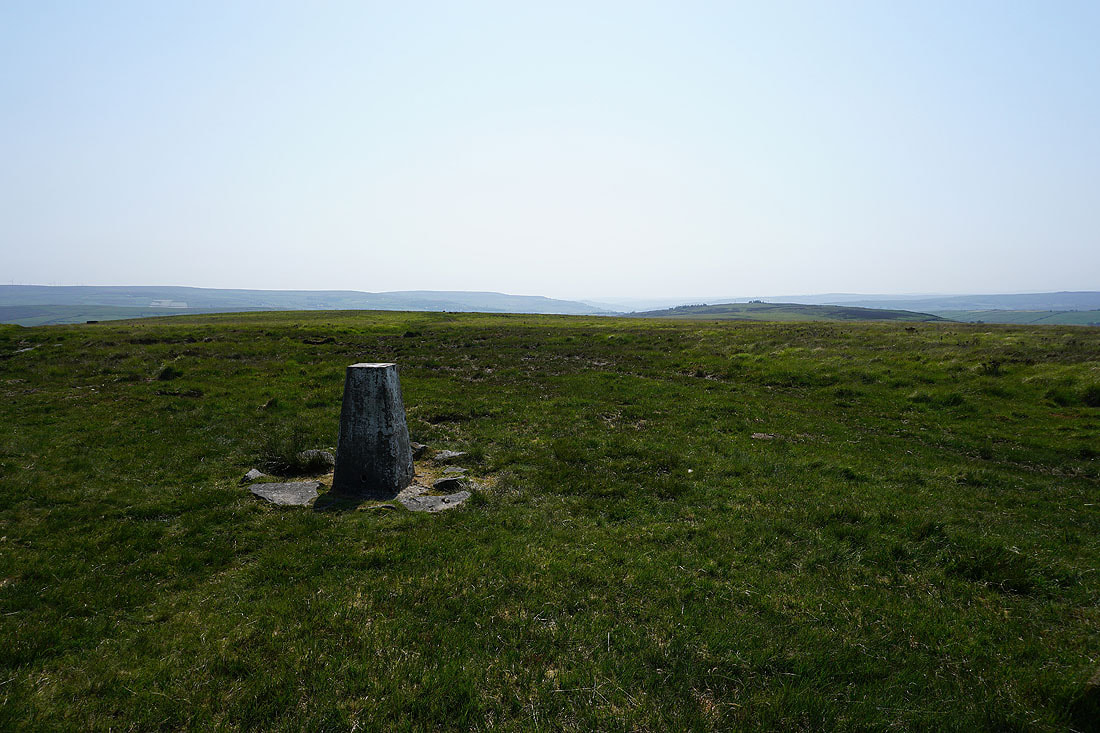
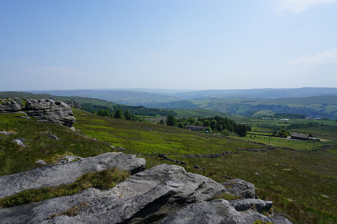
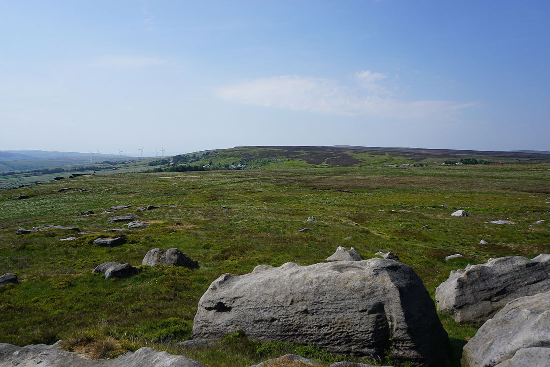
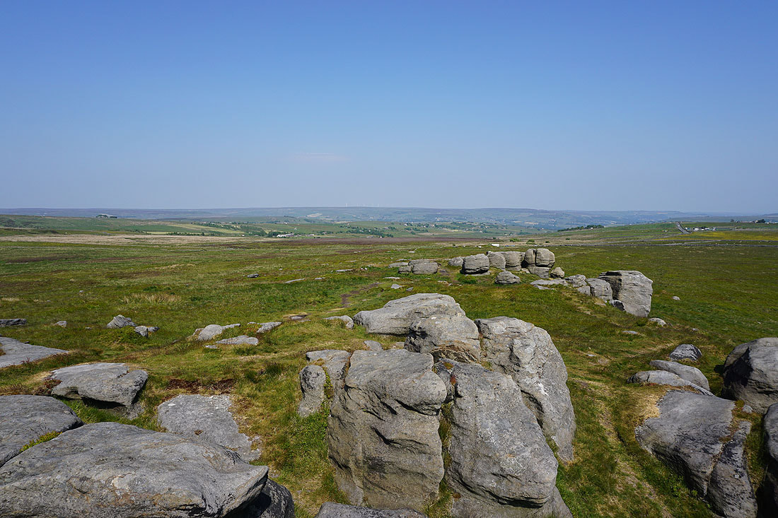
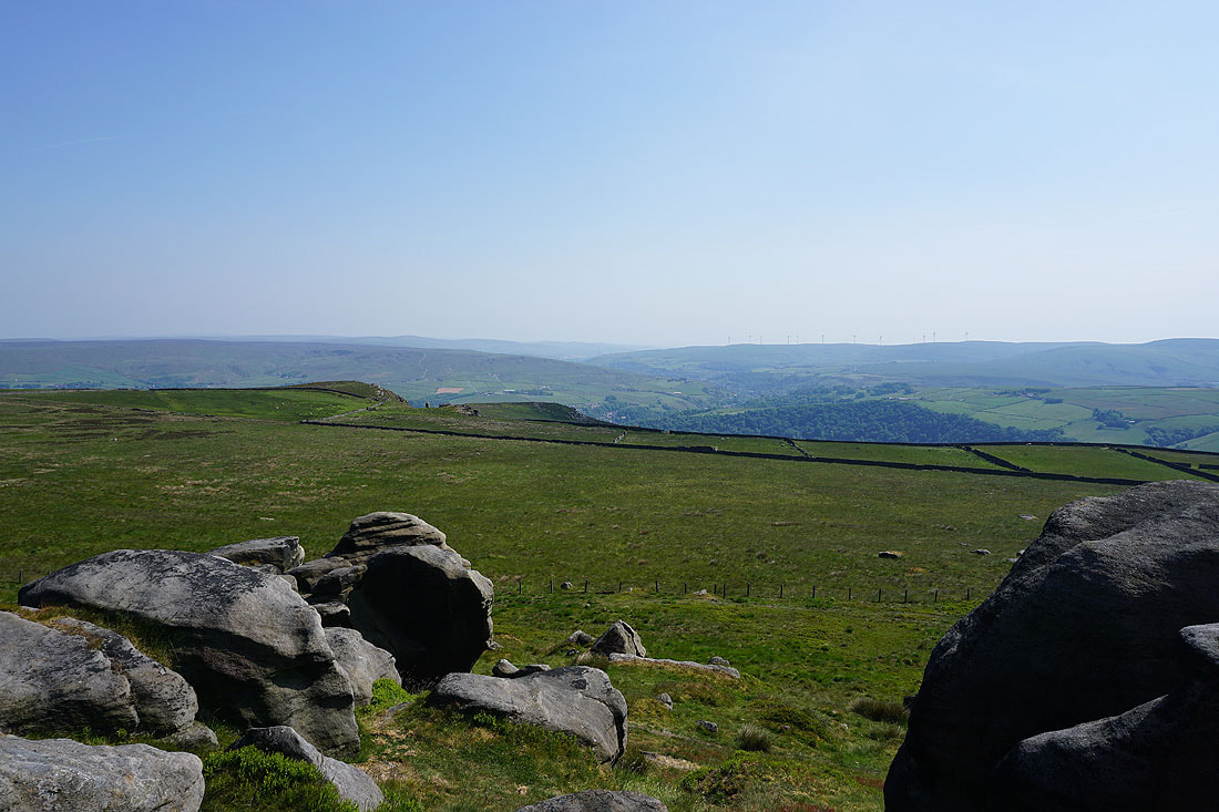
I finally make to the trig point on Hoof Stones Height. Time for lunch.
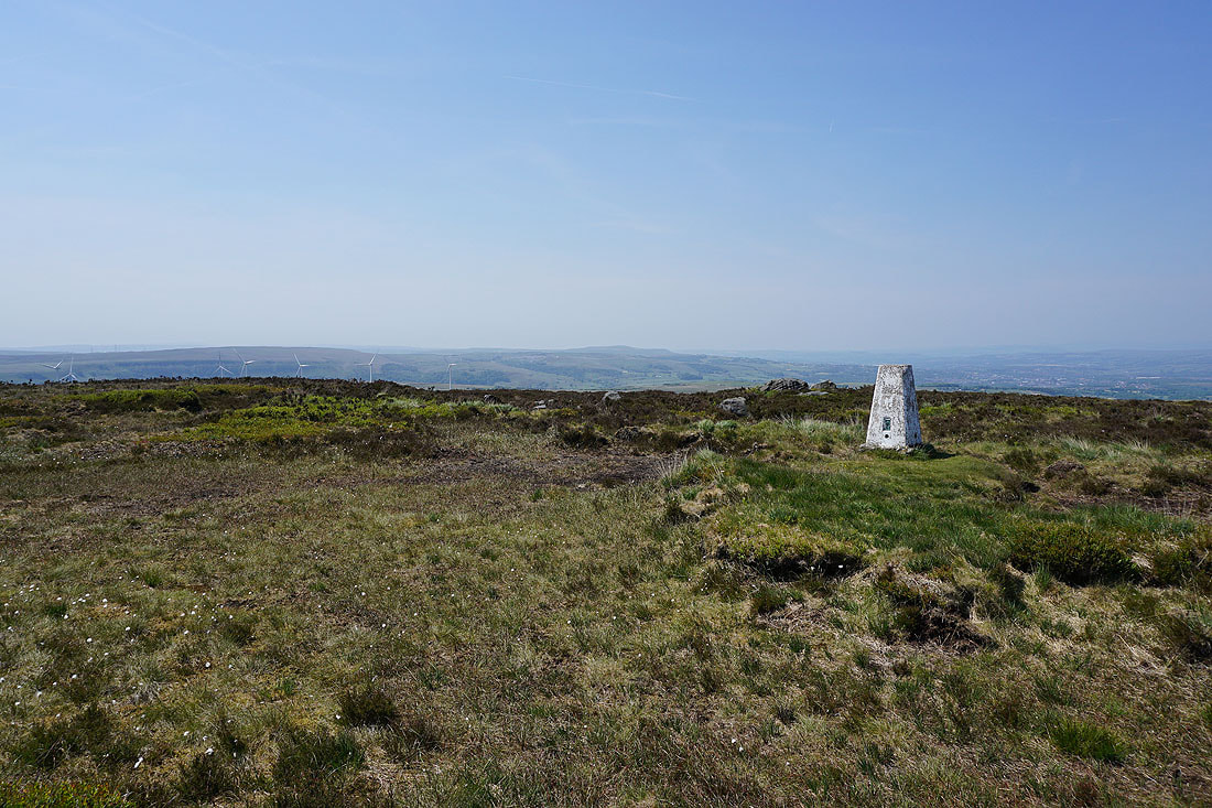
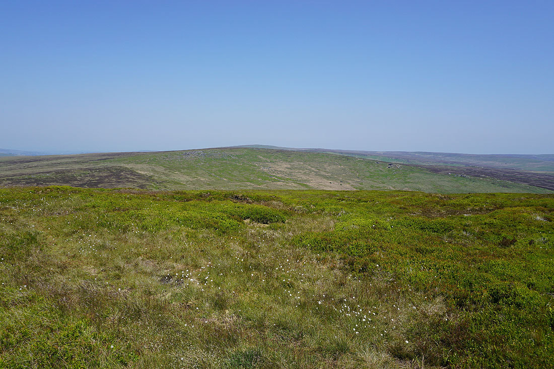
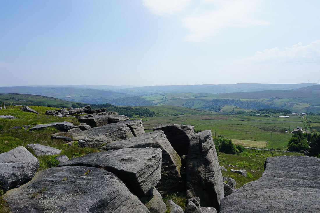
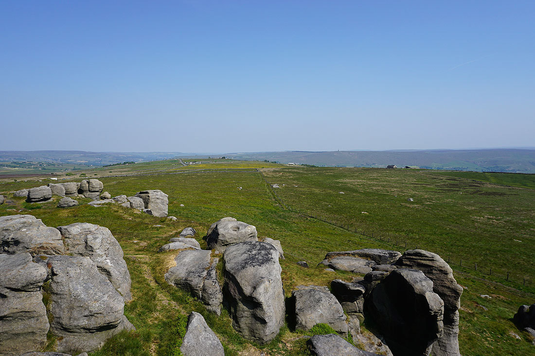
A couple of photos of the view before I move on. Thieveley Scout and Thieveley Pike, Deerplay Moor, and Hamledon Hill to the southwest and west.
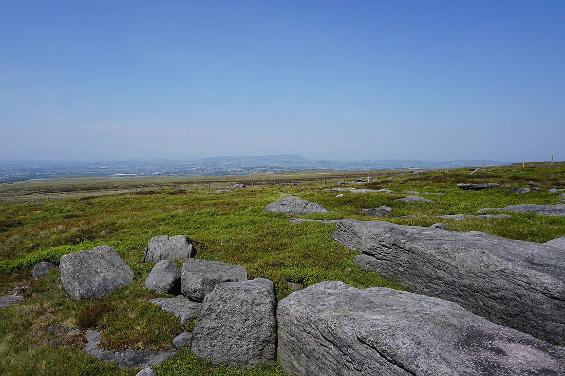
Pendle Hill in the distance to the northwest beyond Burnley

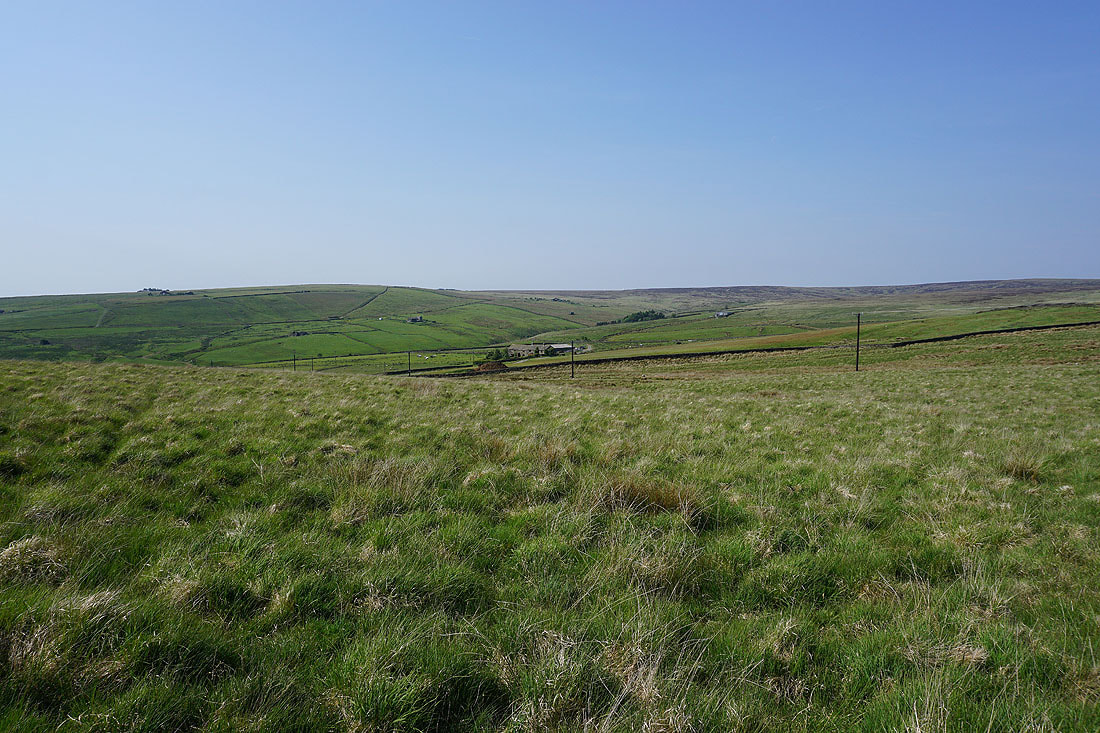
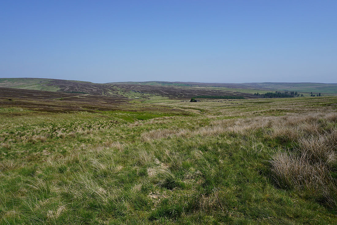
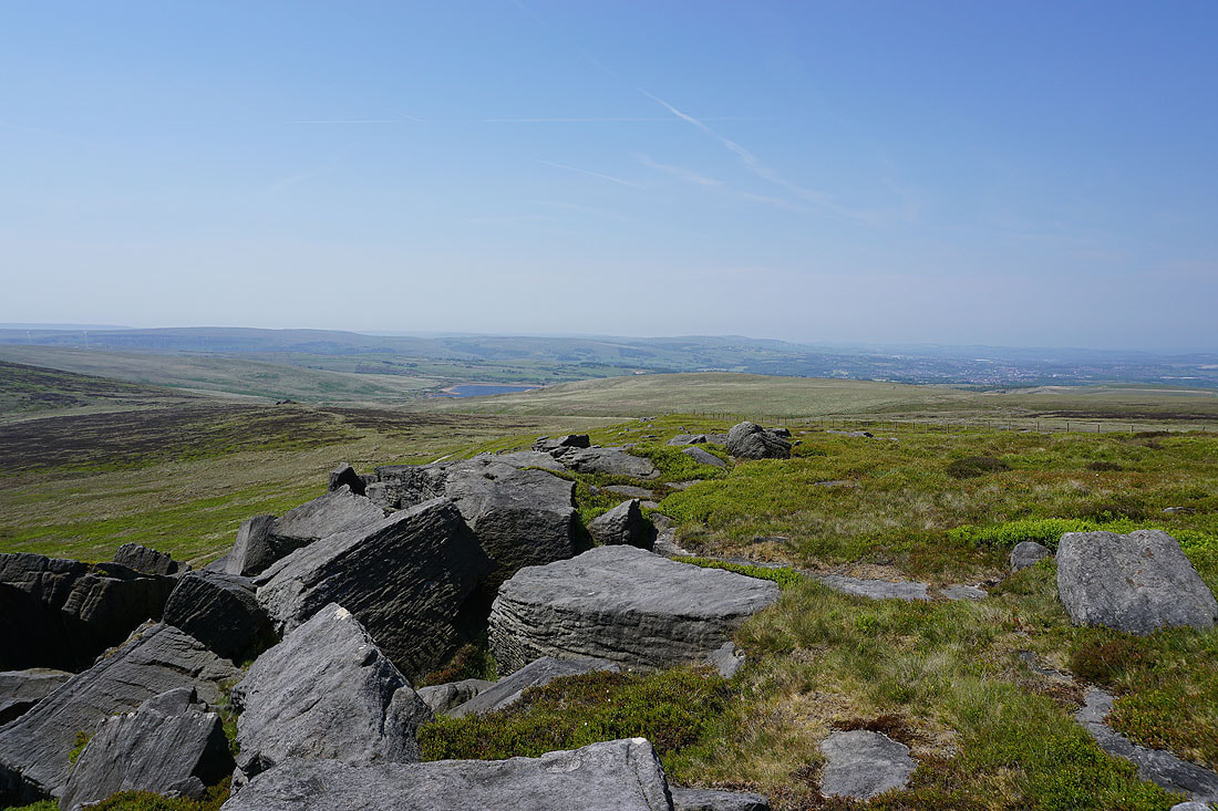
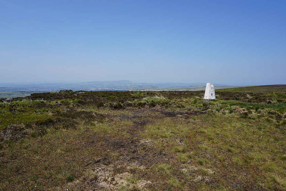
Shore Moor, Freeholds Top, and Todmorden Moor to the south as I make down the moor to Kebs Road...
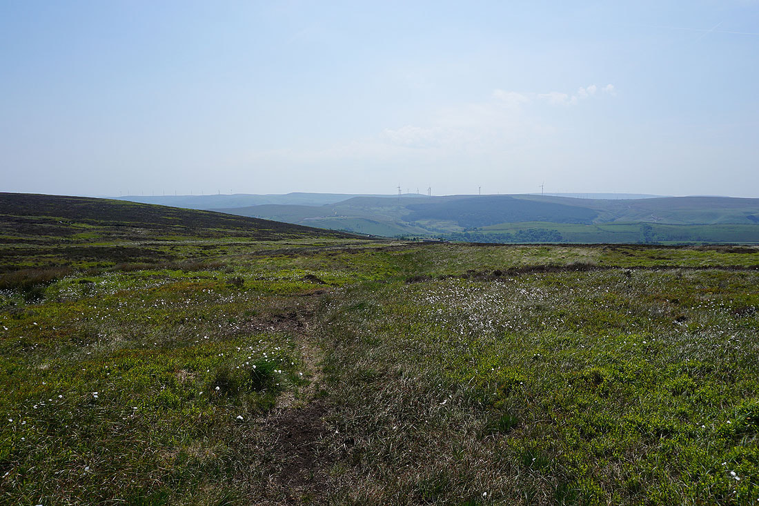
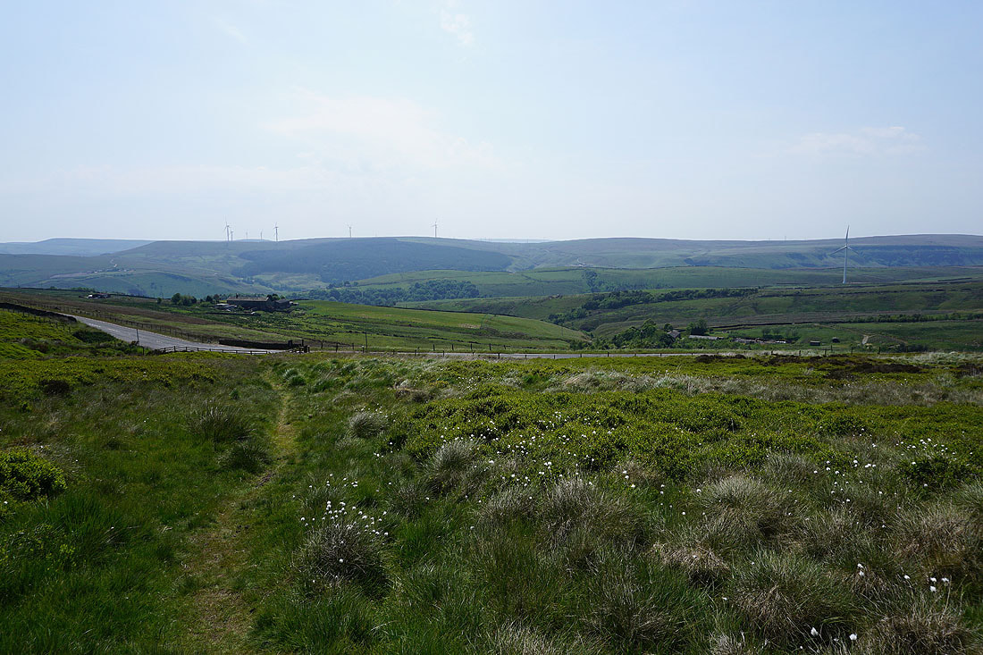
Looking across to Thieveley Scout as I leave Kebs Road for access land and Jack Stones

Making my way east across access land to Jack Stones
On Jack Stones and I have a pretty good view across Calderdale to Langfield Common and Todmorden Moor..

..and to Heald Moor, Thieveley Pike, and Thieveley Scout
Taking in the equally good view from the neighbouring Hawks Stones
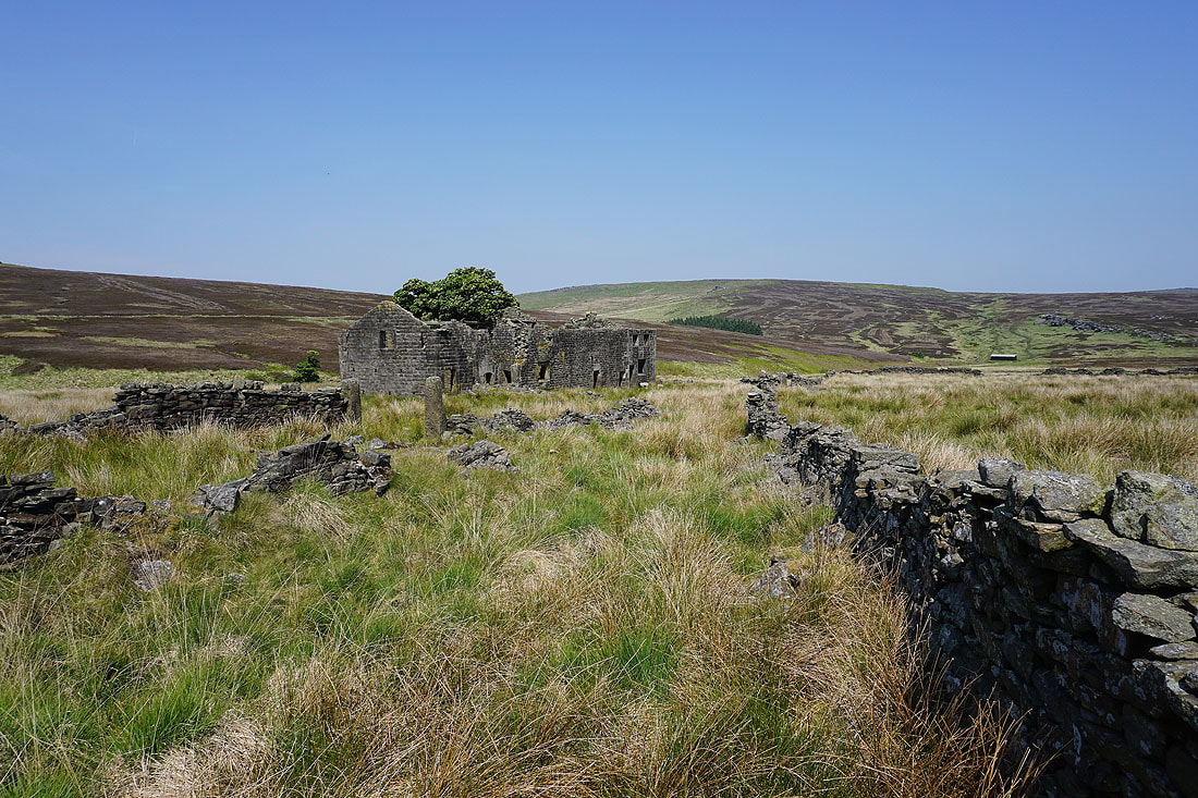
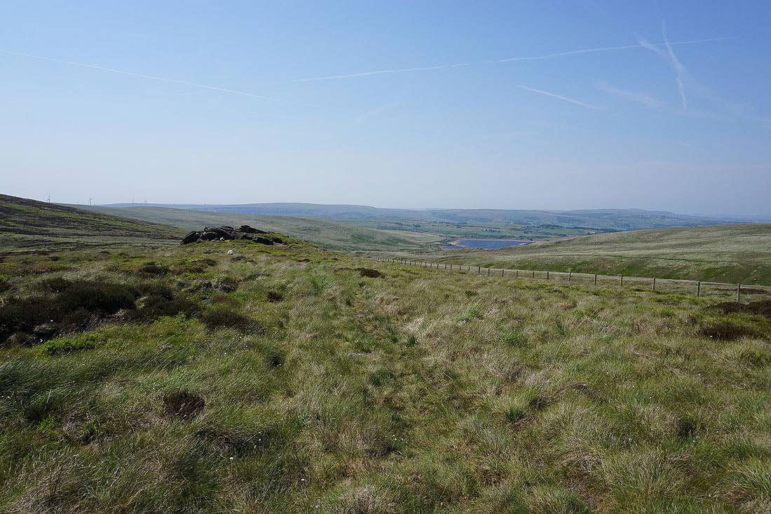
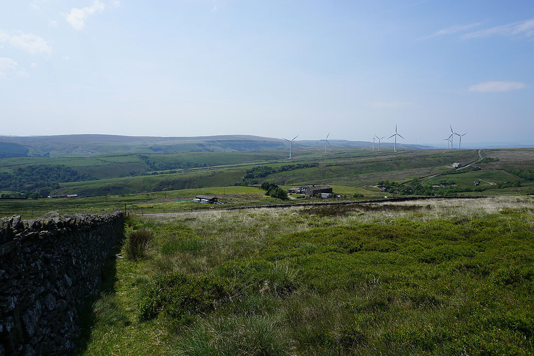
From Hawks Stones I follow a path to Kebs Road and the buildings that used to be The Sportmans Arms. My next stop of Bride Stones Moor is in sight.
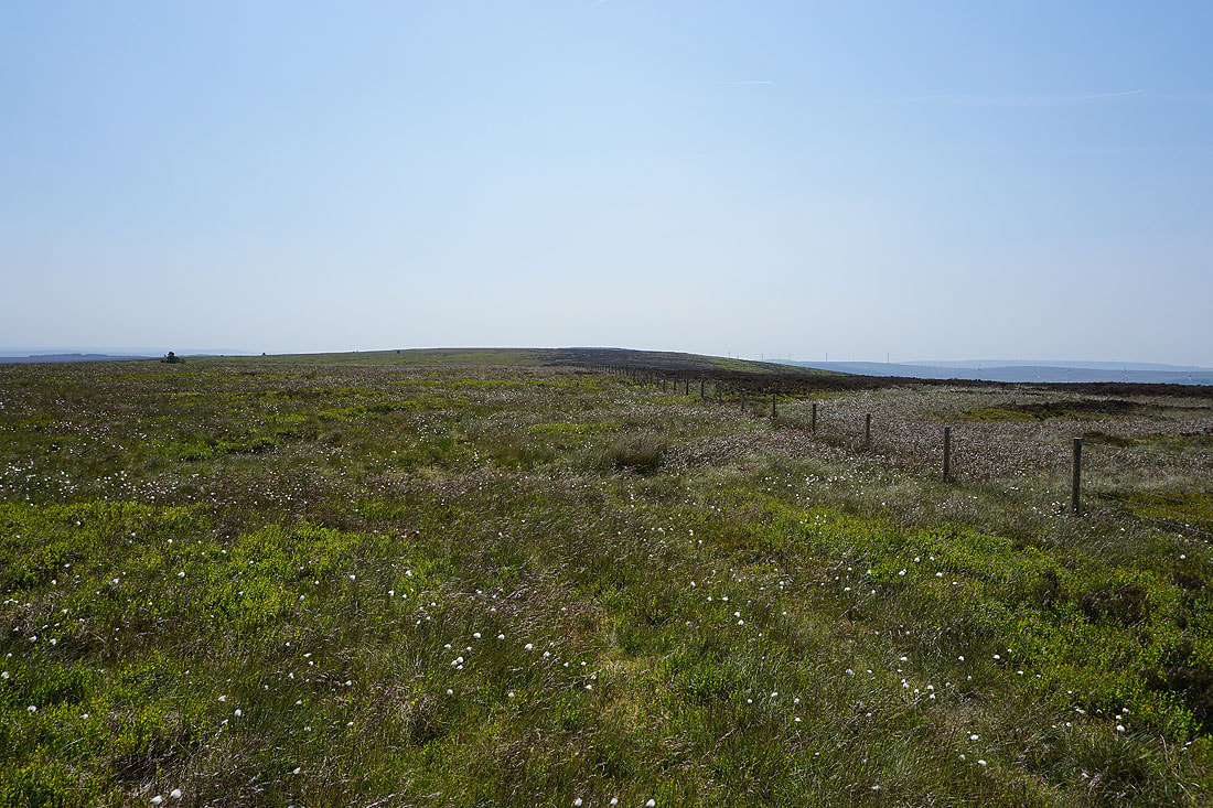
Looking back to the moorland with Jack Stones and Hawks Stones on it as I reach Bride Stones Moor

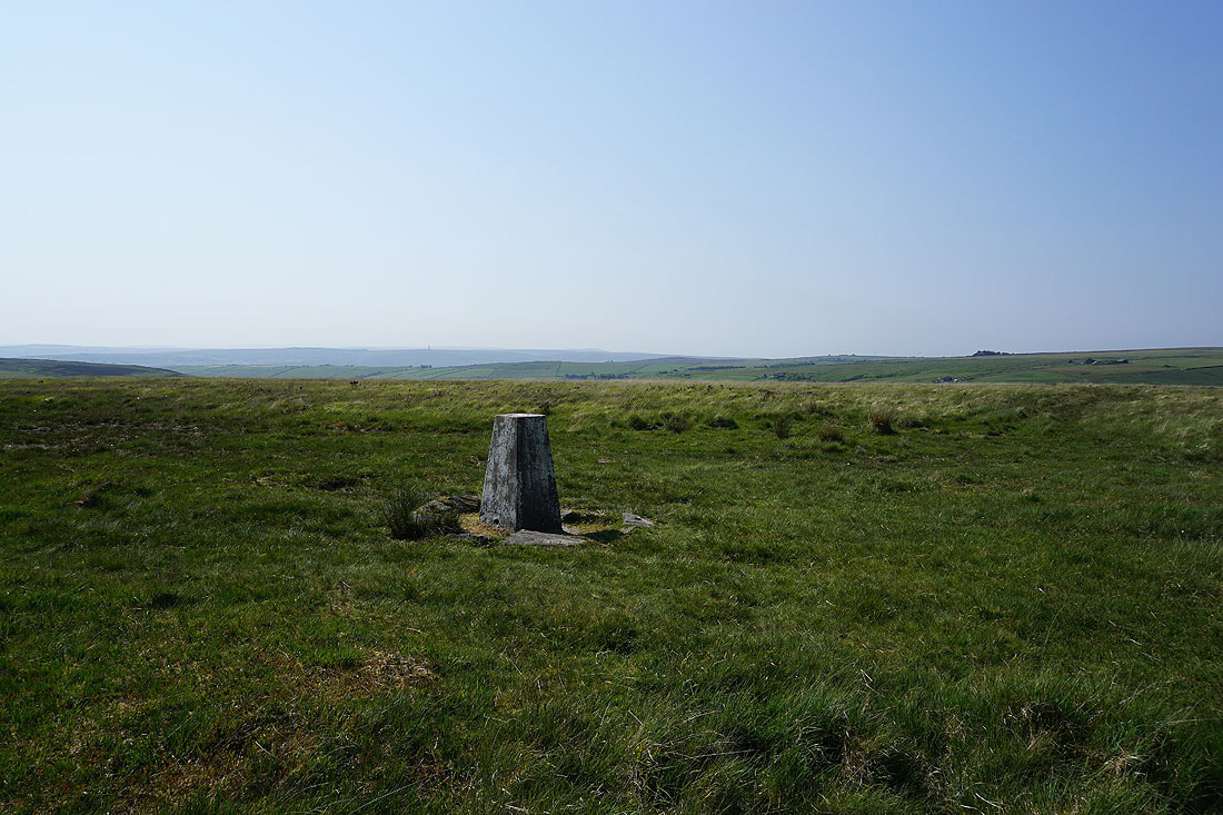
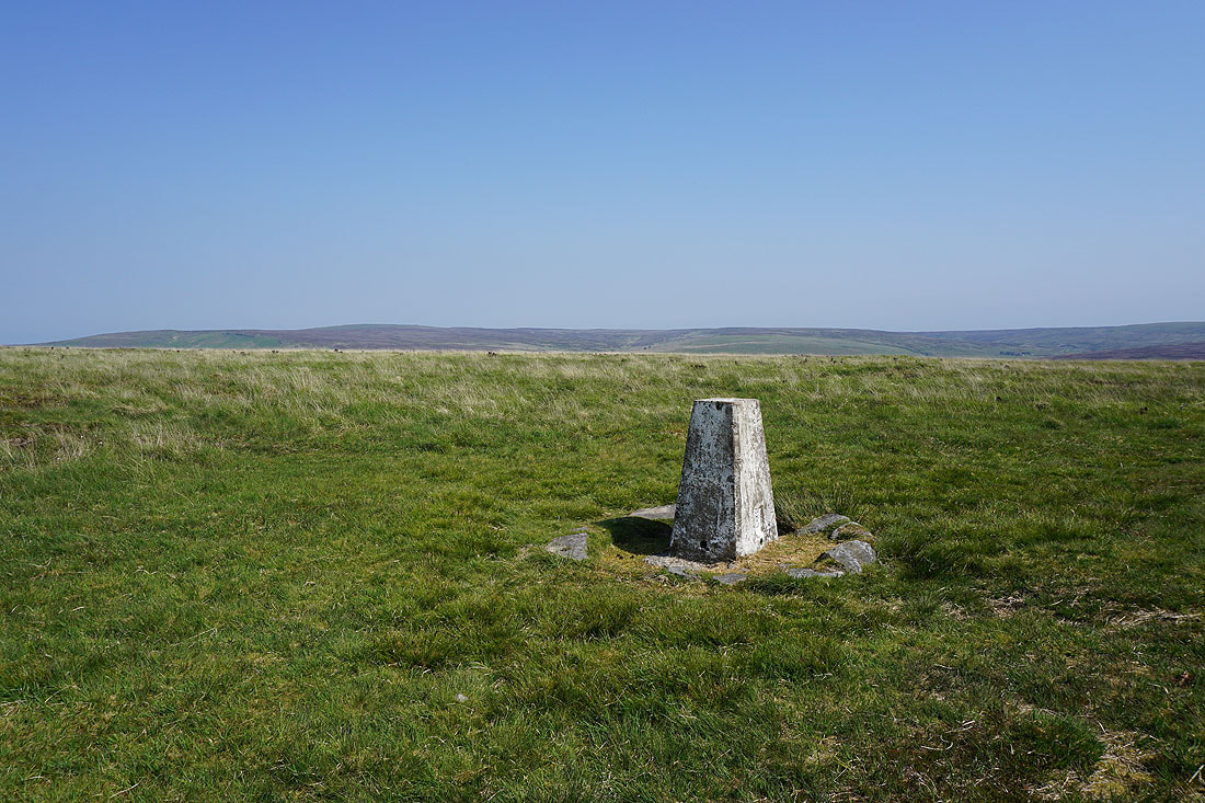
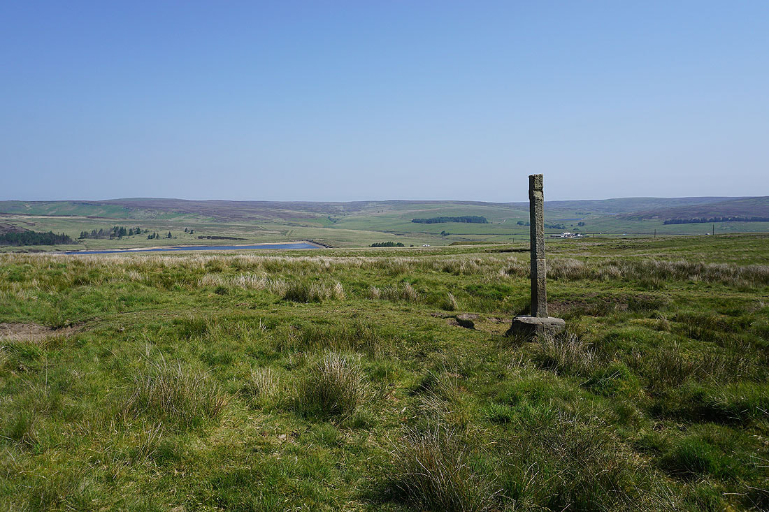
At the trig point on Bride Stones Moor with Thieveley Pike in the distance on the left
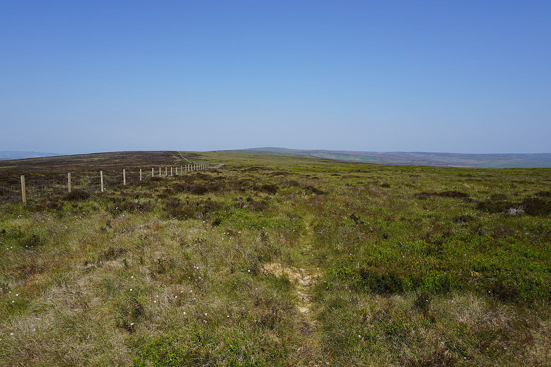
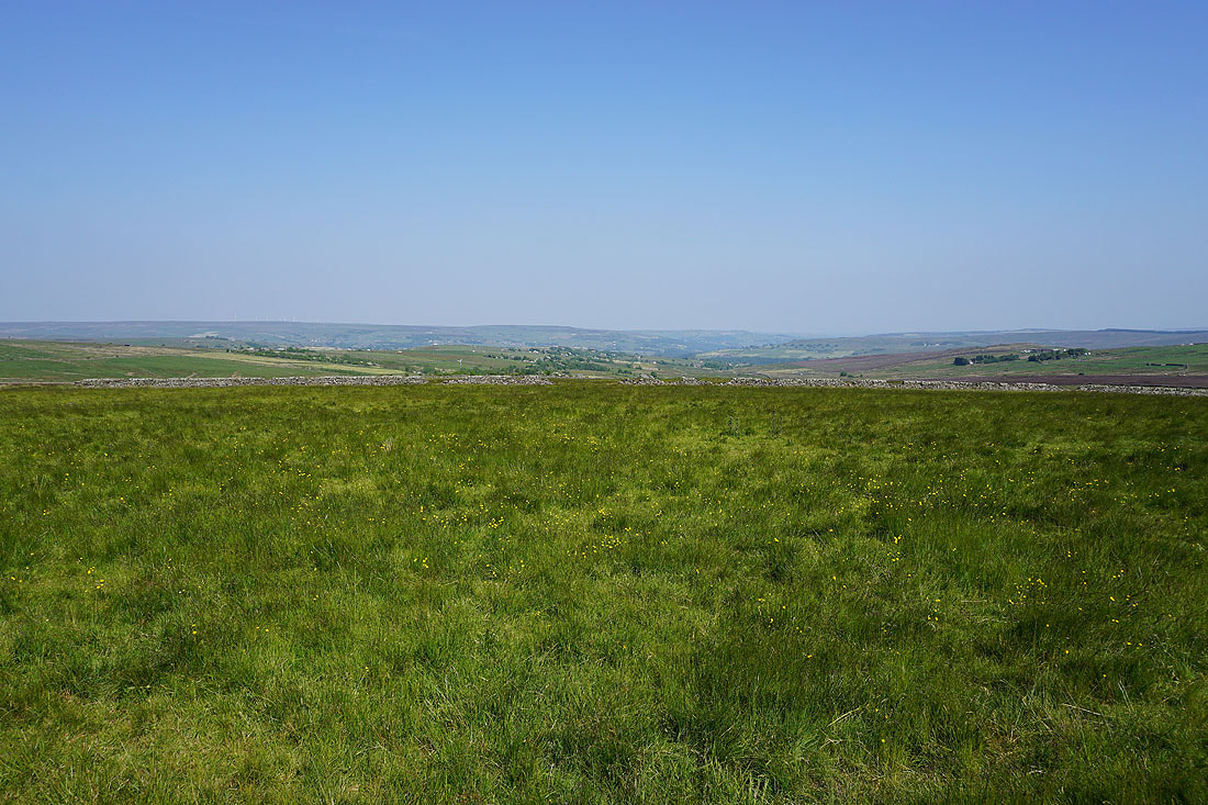
High Brown Knoll and Midgley Moor in the distance to the east
Looking across Calderdale to Stoodley Pike
and south to Langfield Common and Shore Moor, with the moorland around Blackstone Edge in the distance

The Bottleneck Bride
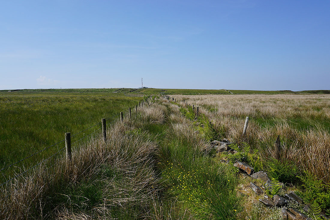
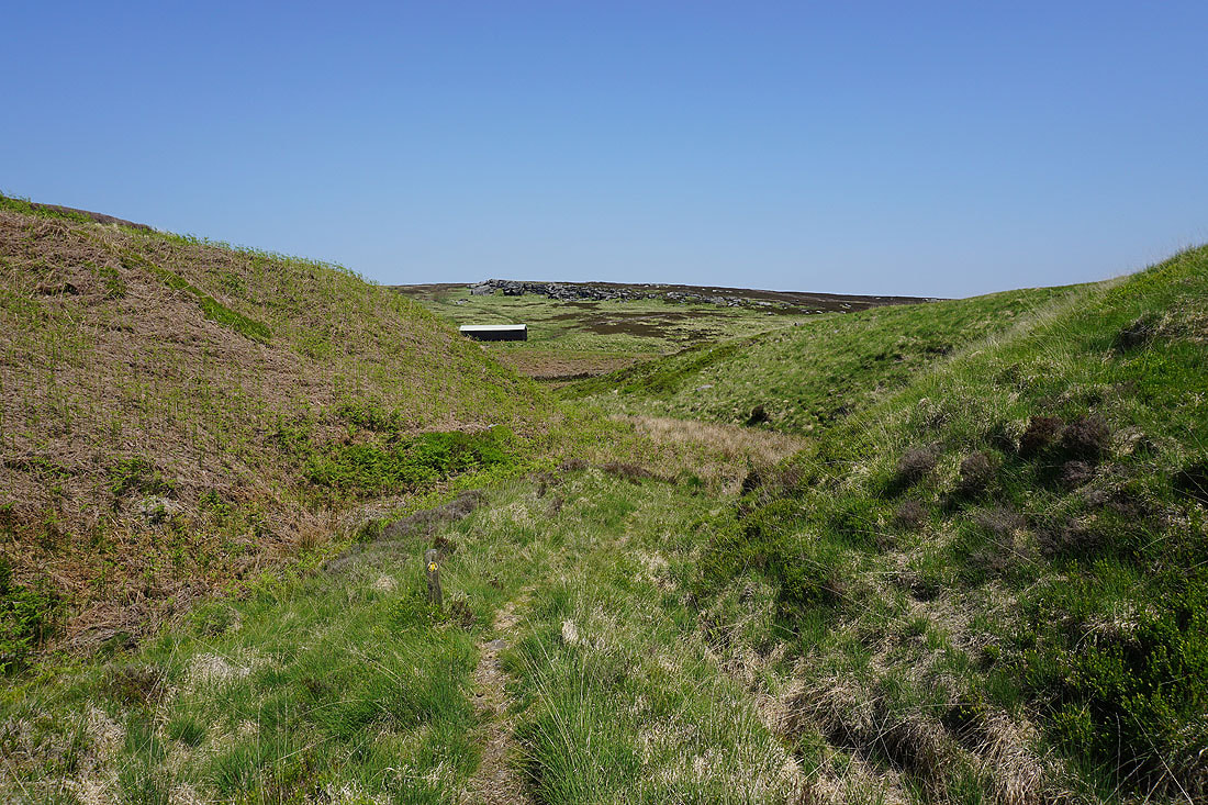
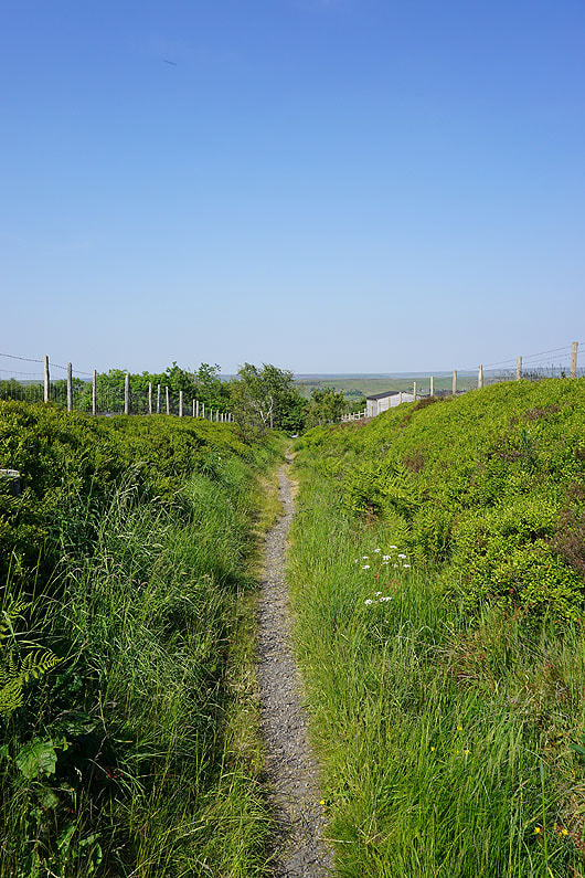
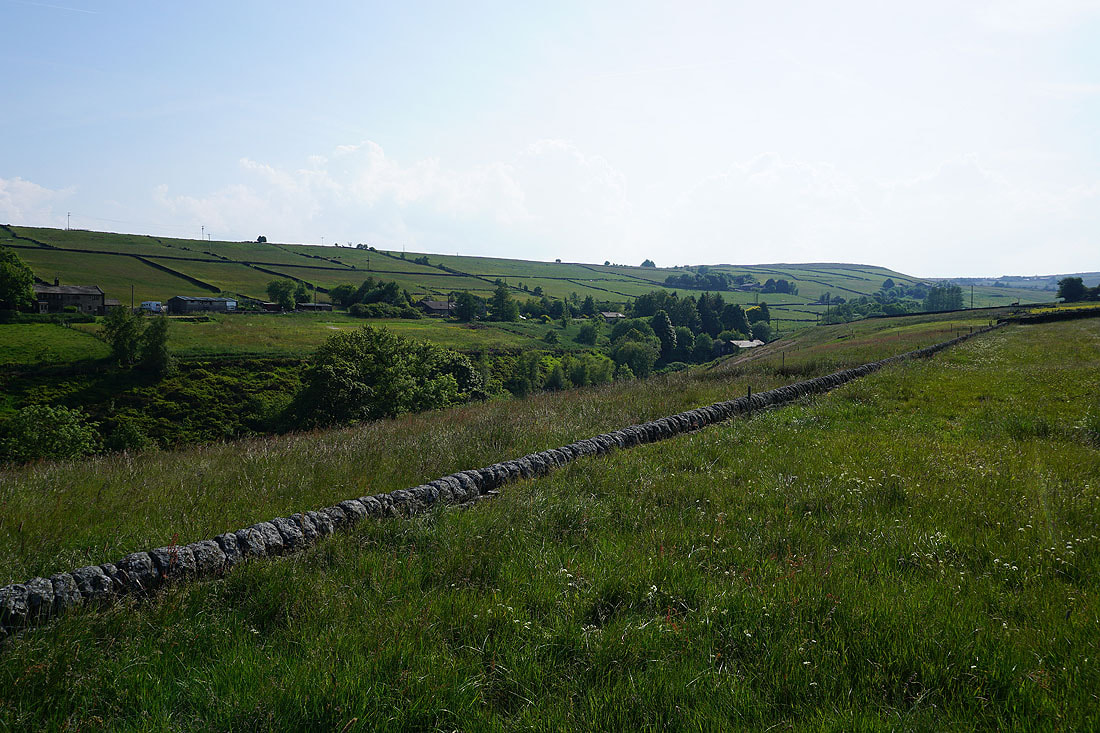
From Bride Stones Moor I made my way out to Eastwood Road and took an overgrown footpath across to Kebs Road
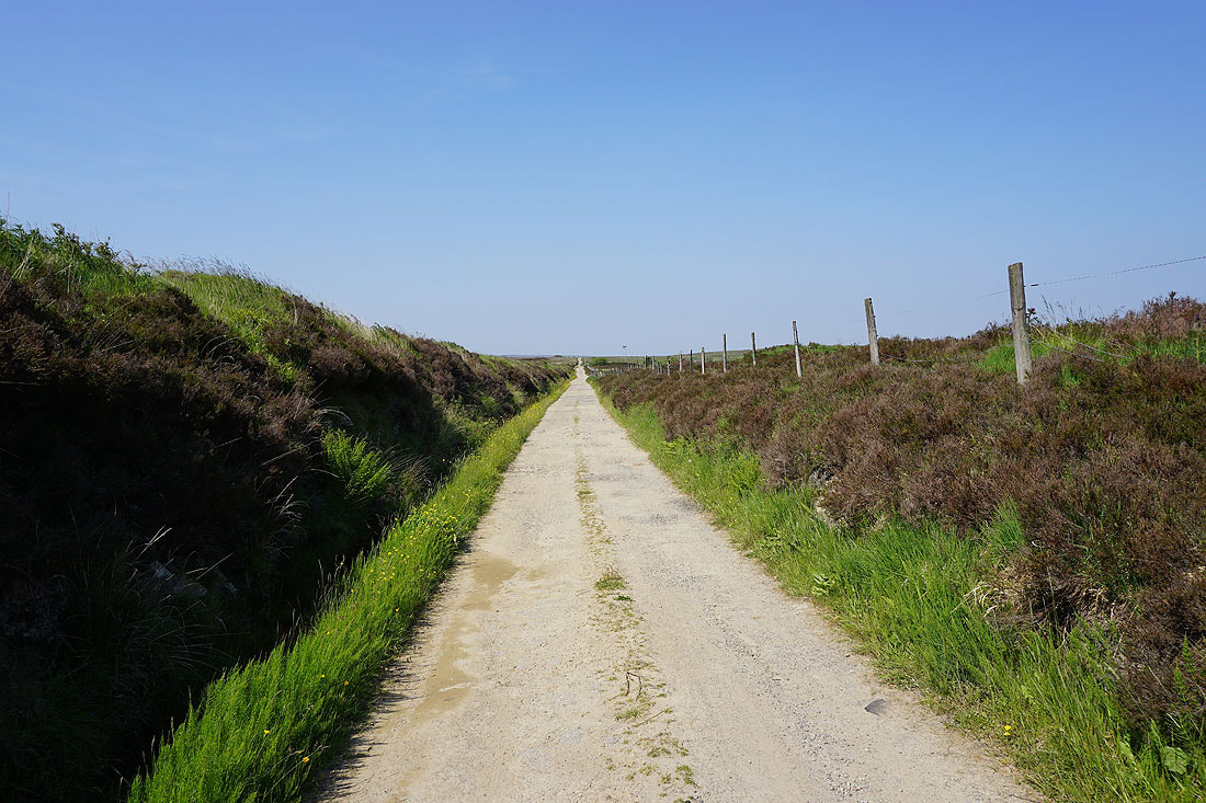
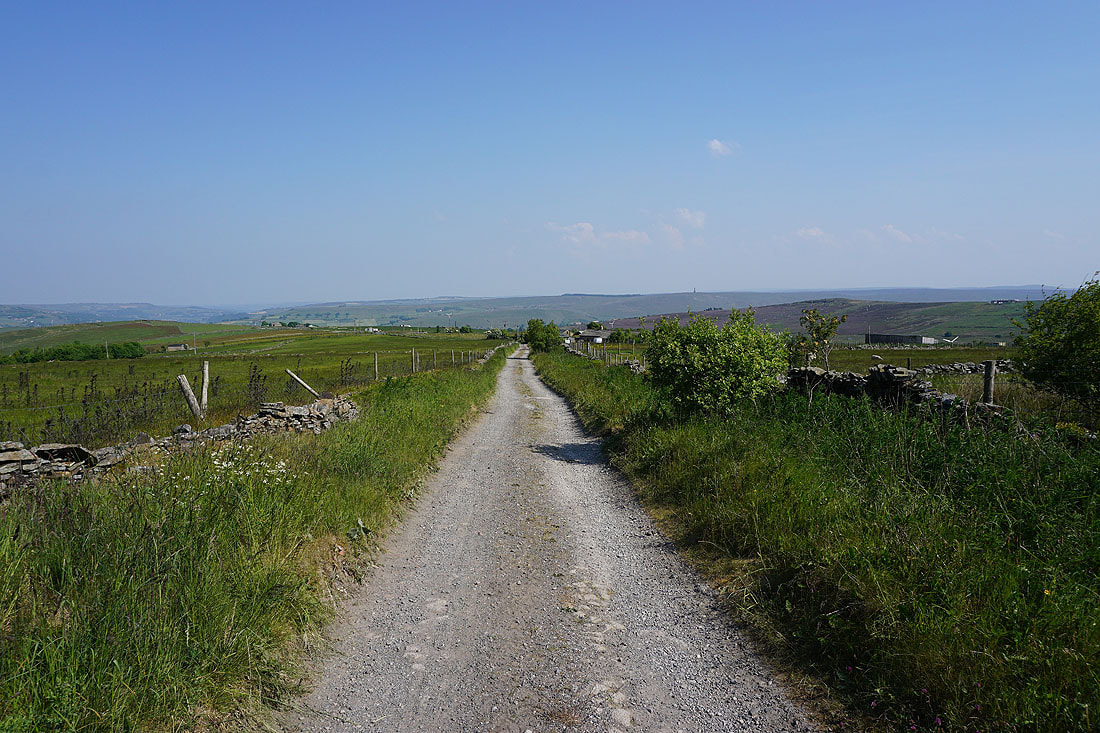
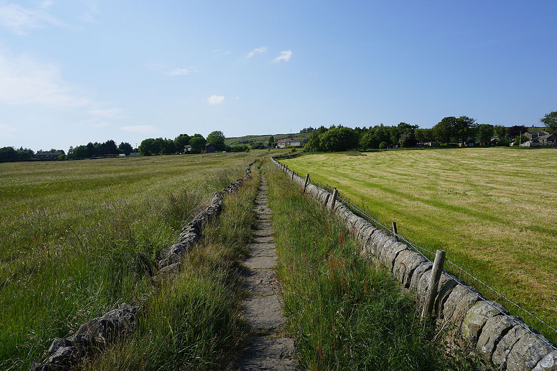
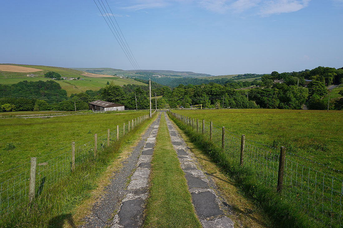
From Kebs Road I head north on the track of Dukes Cut
To my right, a view down Calderdale to the moors around Hebden Bridge
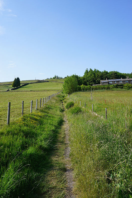
Making my way north along Dukes Cut
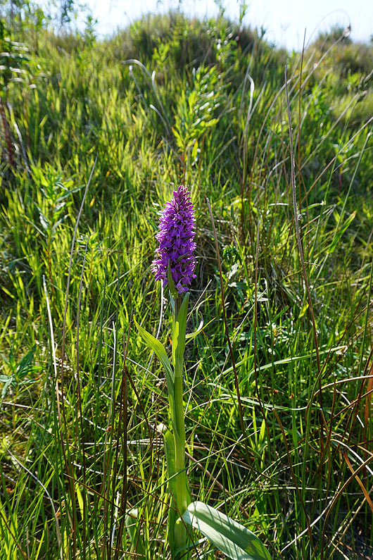
One of a few Marsh Orchids that I spotted next to the track
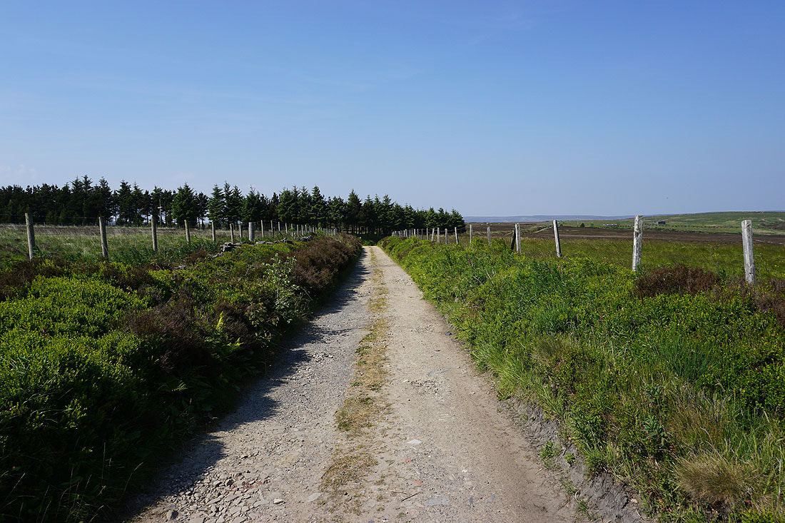
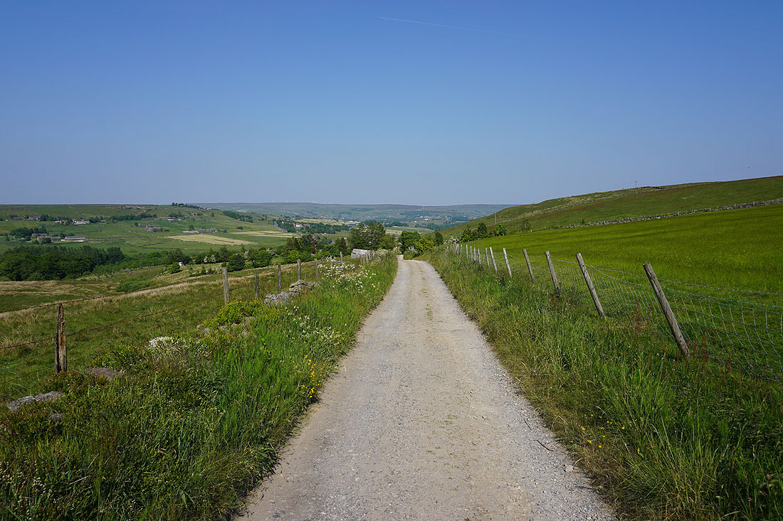
The track continues north as Greenland Road, but this is where I leave it behind for the track of Moorcock Road
Looking north across Heptonstall Moor to Gorple Hill and Boulsworth Hill from the top of Moorcock Road
Making my way down the track of Moorcock Road
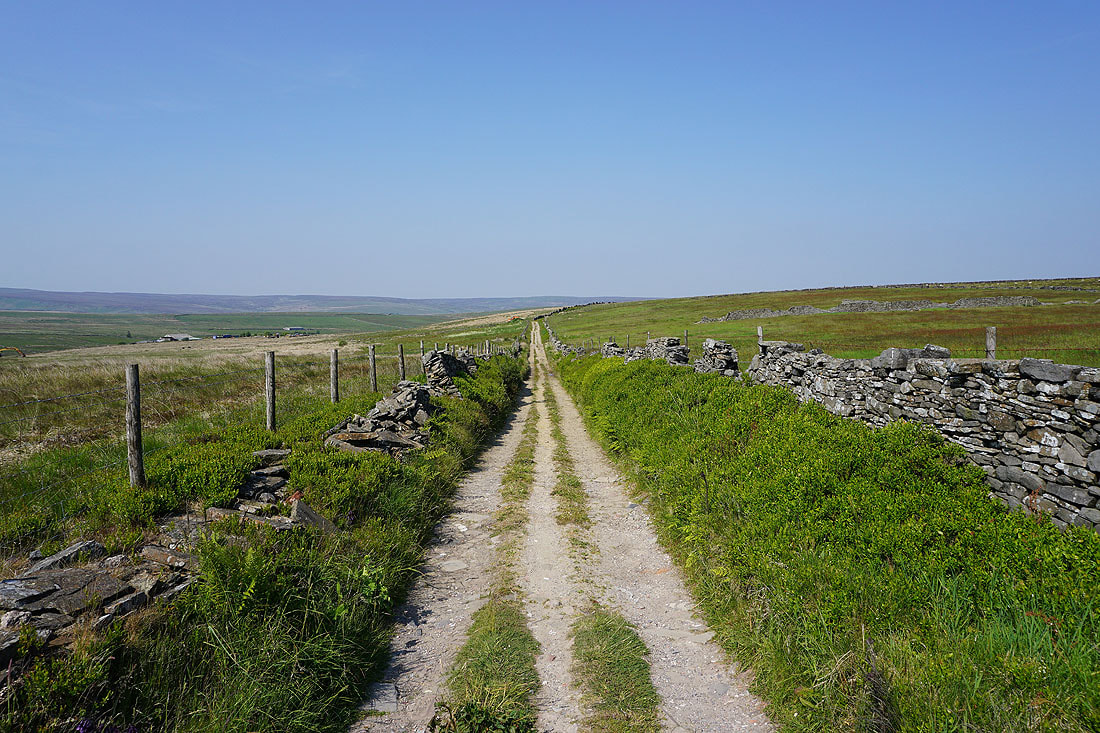
A bridleway on the left takes me down to the top of Brown Hill Lane
Looking down Colden Clough from the top of Brown Hill Lane
On the Pennine Bridleway down Brown Hill Lane to New Shaw Lane
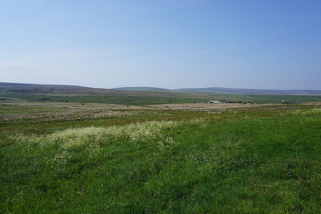
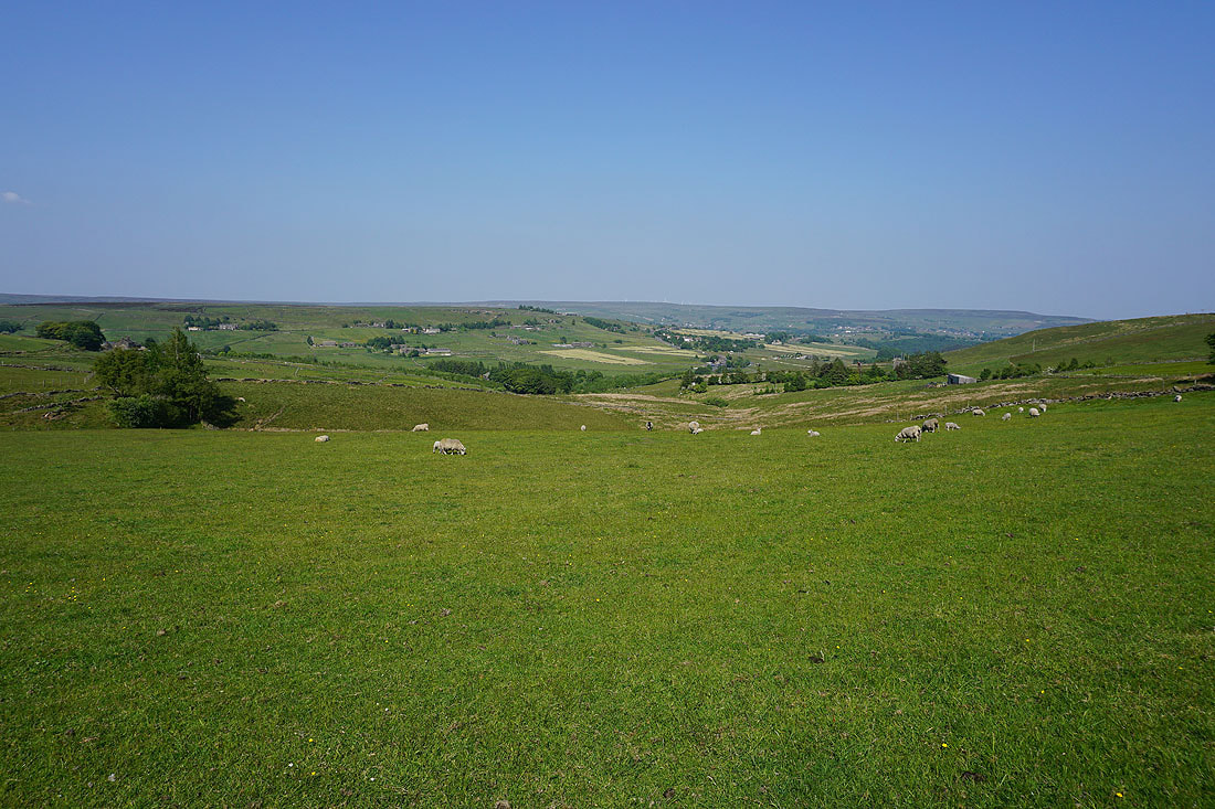
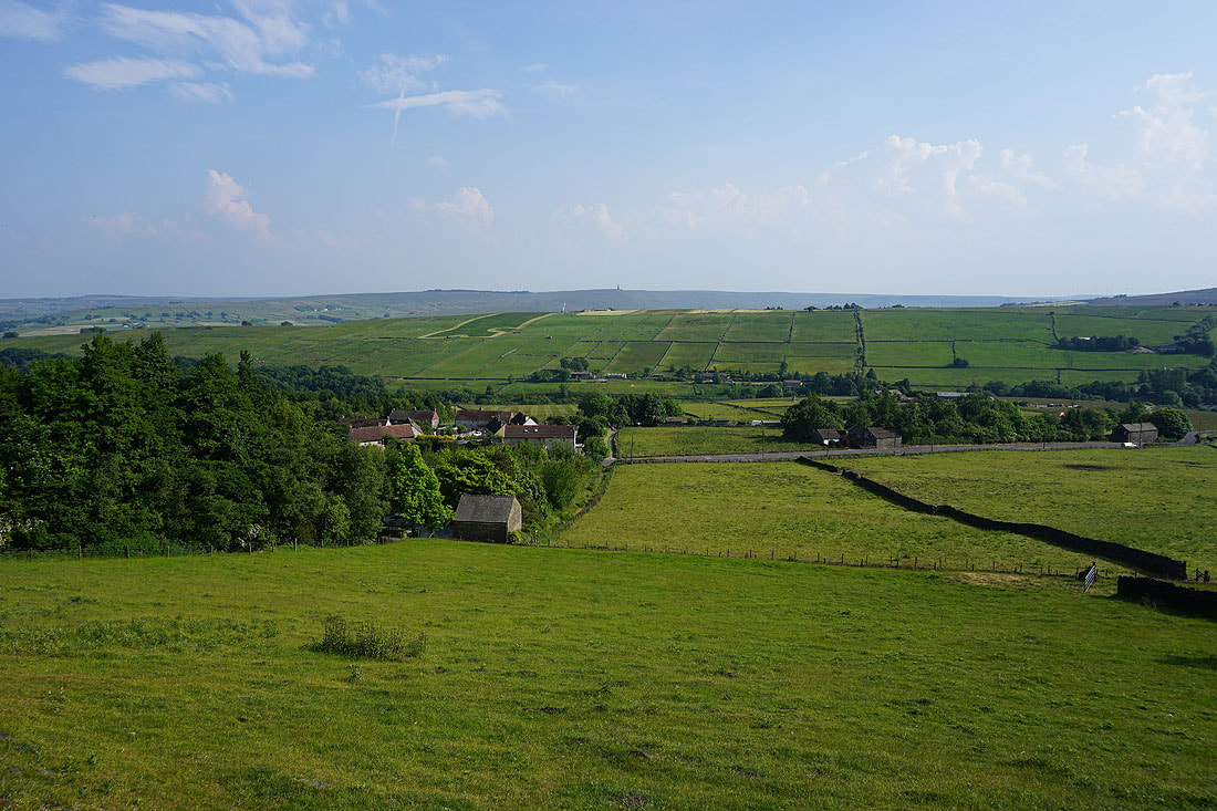
The scattered hillside hamlet of Colden from New Shaw Lane
At the bottom of New Shaw Lane I keep on the Pennine Bridleway and take the track of Hudson Mill Road east..

..until I reach the Pennine Way, which I take north down to and across Colden Water via Hebble Hole Bridge
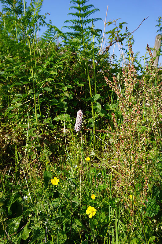
One of many Meadow Bistort next to the path
Looking up Colden Clough after crossing Hebble Hole Bridge
Following the Pennine Way up to Smithy Lane
and after crossing Smithy Lane, up to Edge Lane
Looking back across Colden Clough from the Pennine Way above Edge Lane

and down to Calderdale around Hebden Bridge
Having crossed over the moor into Hebden Dale I follow the Pennine Way back to where I joined it soon after setting off this morning
After reaching Clough House Farm it's down the footpath to Widdop Road and the NT Clough Hole car park