10th March 2010 - Blencathra
Walk Details
Distance walked: 9.9 miles
Total ascent: 3240 ft
OS map used: OL5 - The English Lakes, North-eastern area
Time taken: 6.5 hrs
Route description: Mungrisdale-Bowscale Fell-Bannerdale Crags-Glendermackin Col-Atkinson Pike-Blencathra-Atkinson Pike-Glendermackin Col-River Glendermackin-Mousthwaite Col-Souther Fell-Low Beckside-Mungrisdale
A walk from Mungrisdale taking in Bowscale Fell, Bannerdale Crags, Blencathra and Souther Fell.
Route map
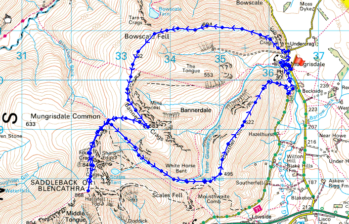
© Crown copyright. All rights reserved. License number PU 100034184.
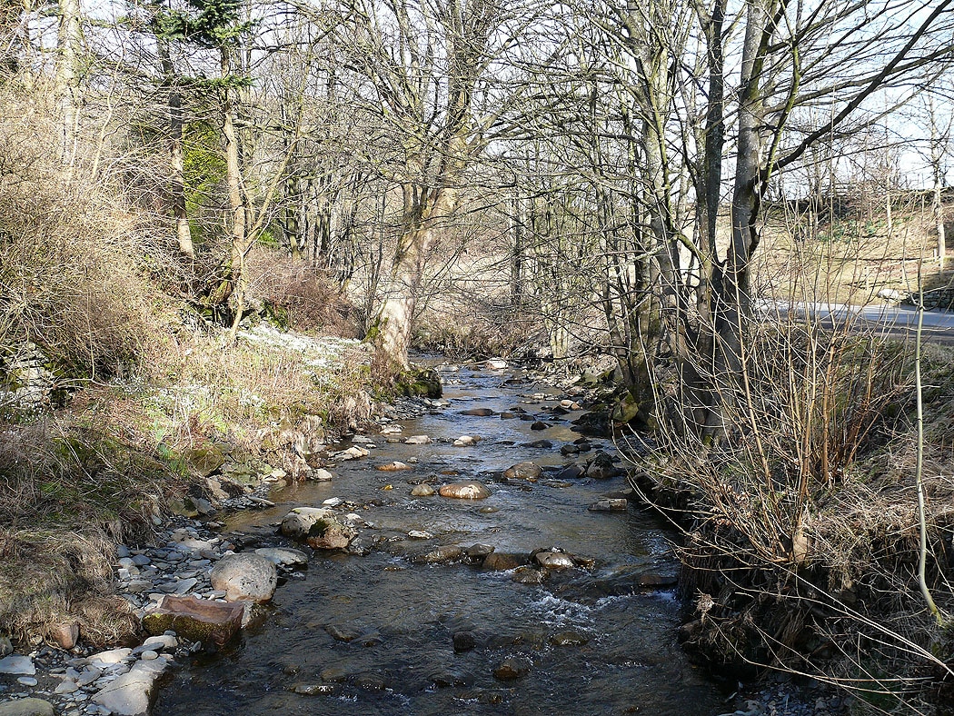
The River Glendermackin in Mungrisdale
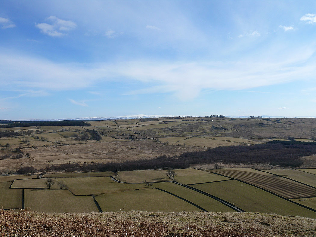
Climbing Bowscale Fell and the view opens out to the east
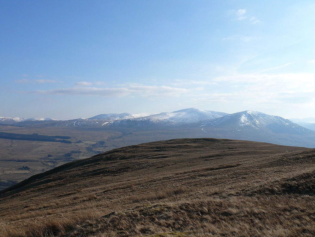
Great Mell Fell and the far eastern fells in the distance
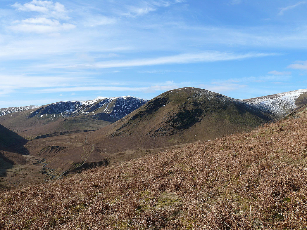
Bannerdale Crags and The Tongue
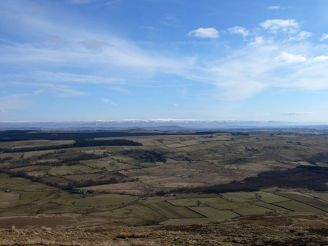
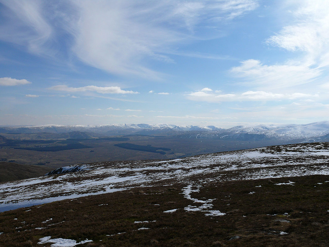
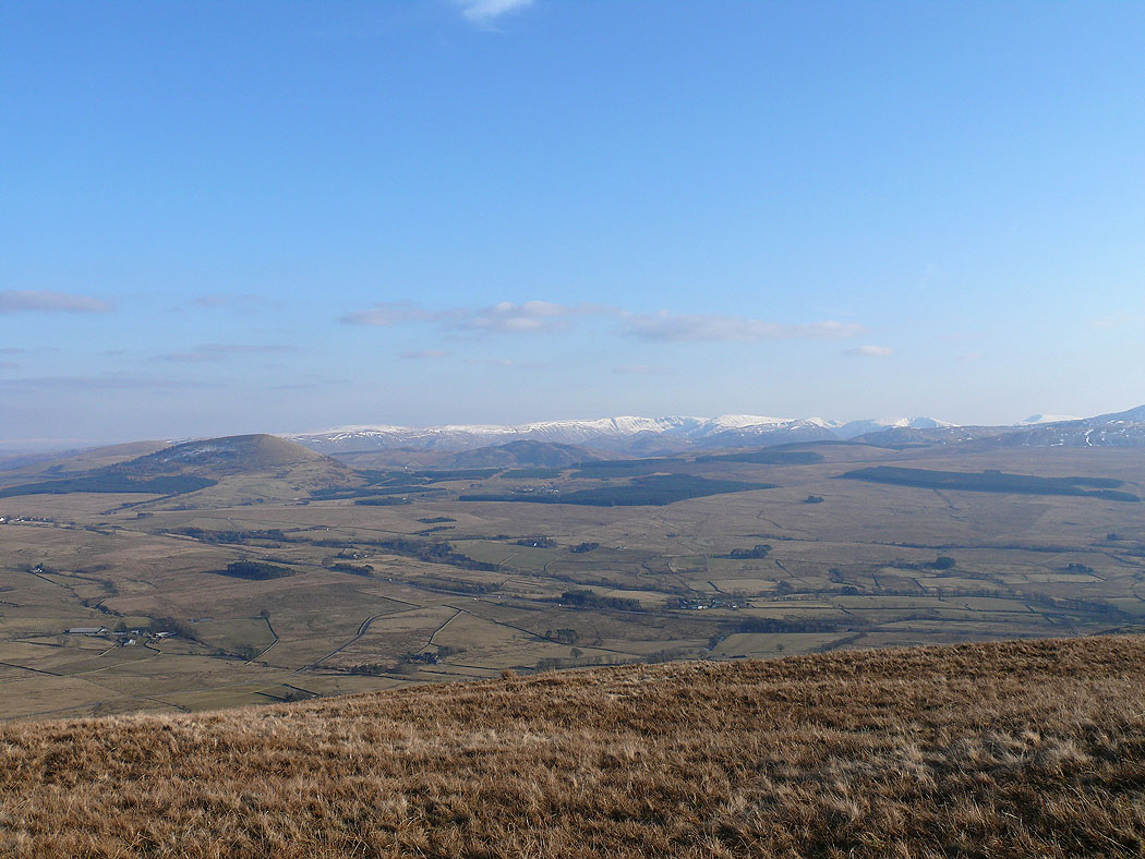
The North Pennines come into view higher up
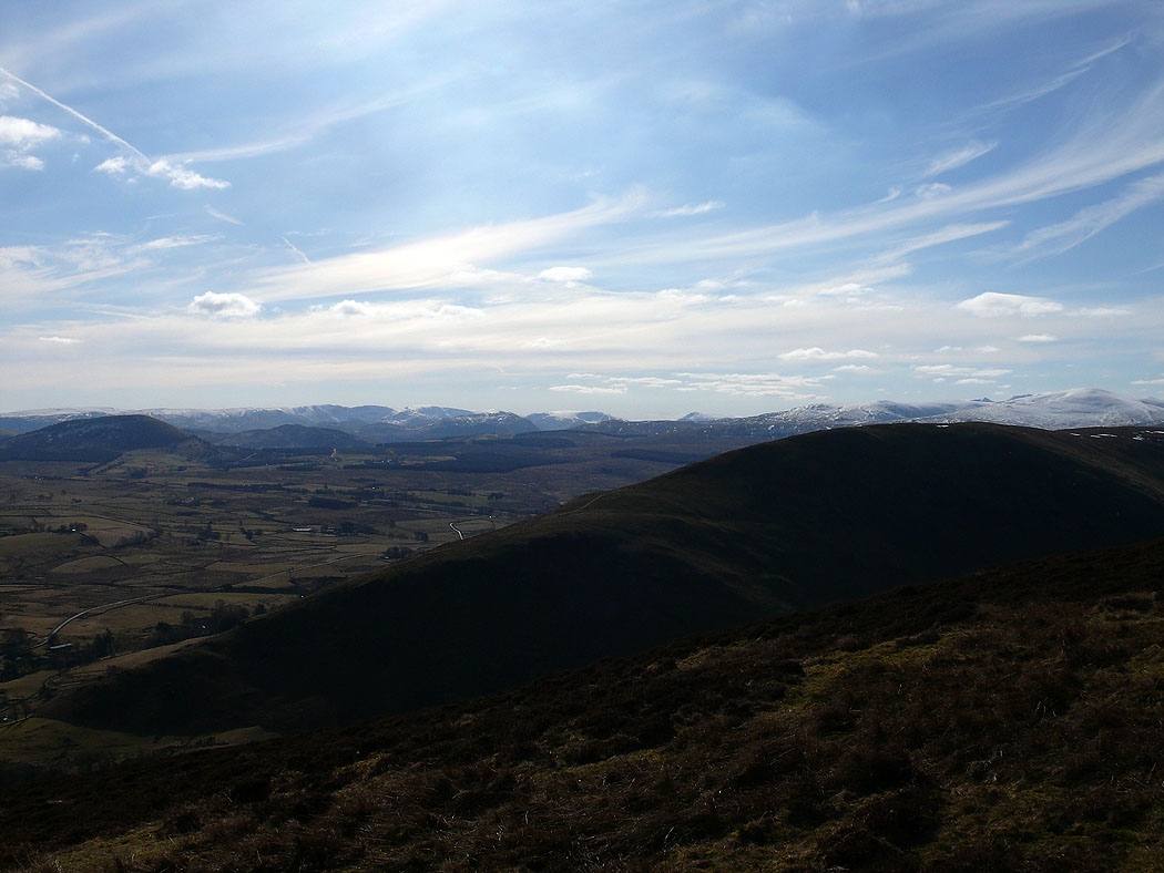
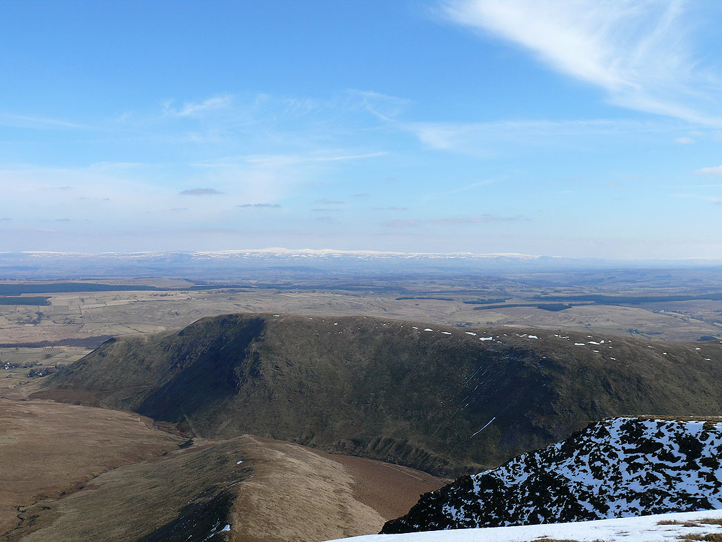
Far eastern and eastern fells behind Souther Fell
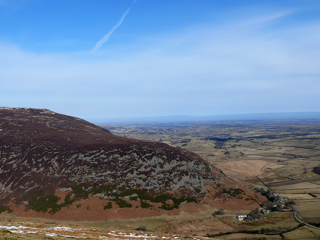
The end of Carrock Fell
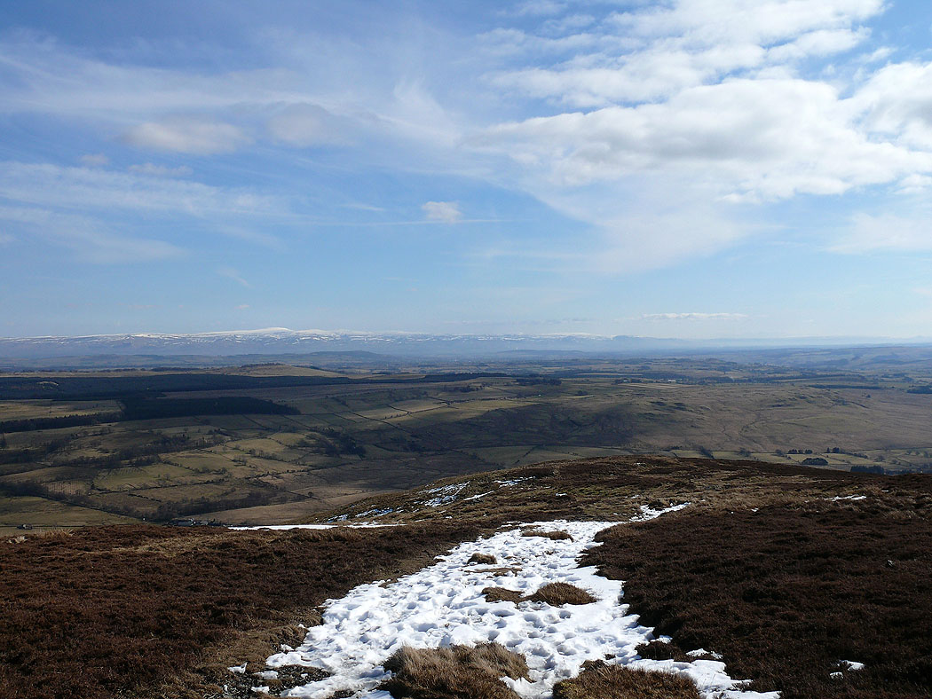
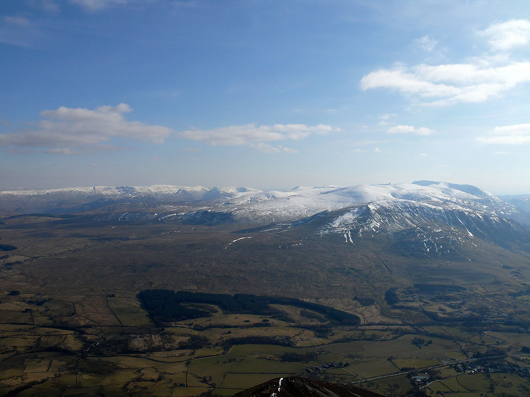
North Pennines from higher up
Blencathra

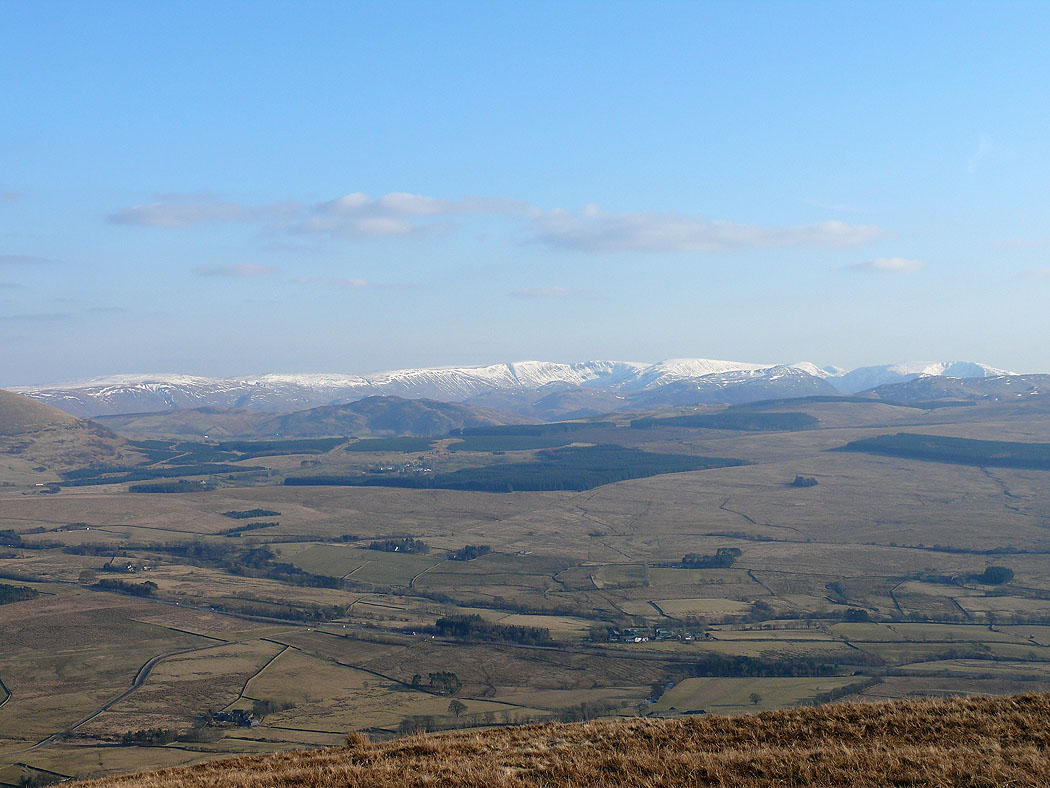
Approaching Bowscale Fell summit. North Pennines in the distance.
Getting closer
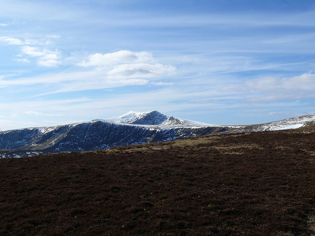
Skiddaw from Bowscale Fell
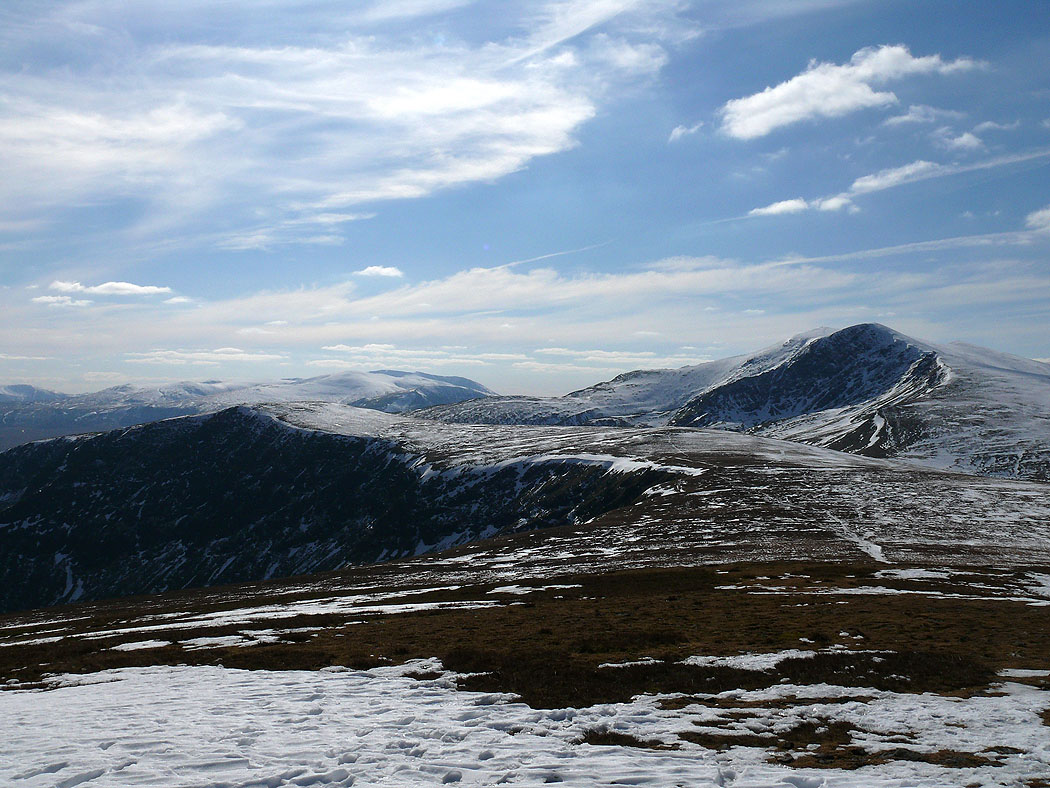
On route to Bannerdale Crags
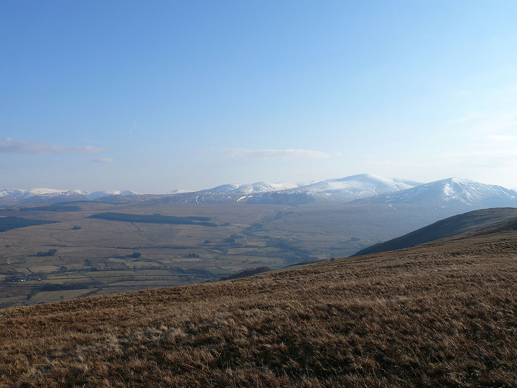
The view from Bannerdale Crags across Souther Fell to the North Pennines
Far eastern fells from Bannerdale Crags
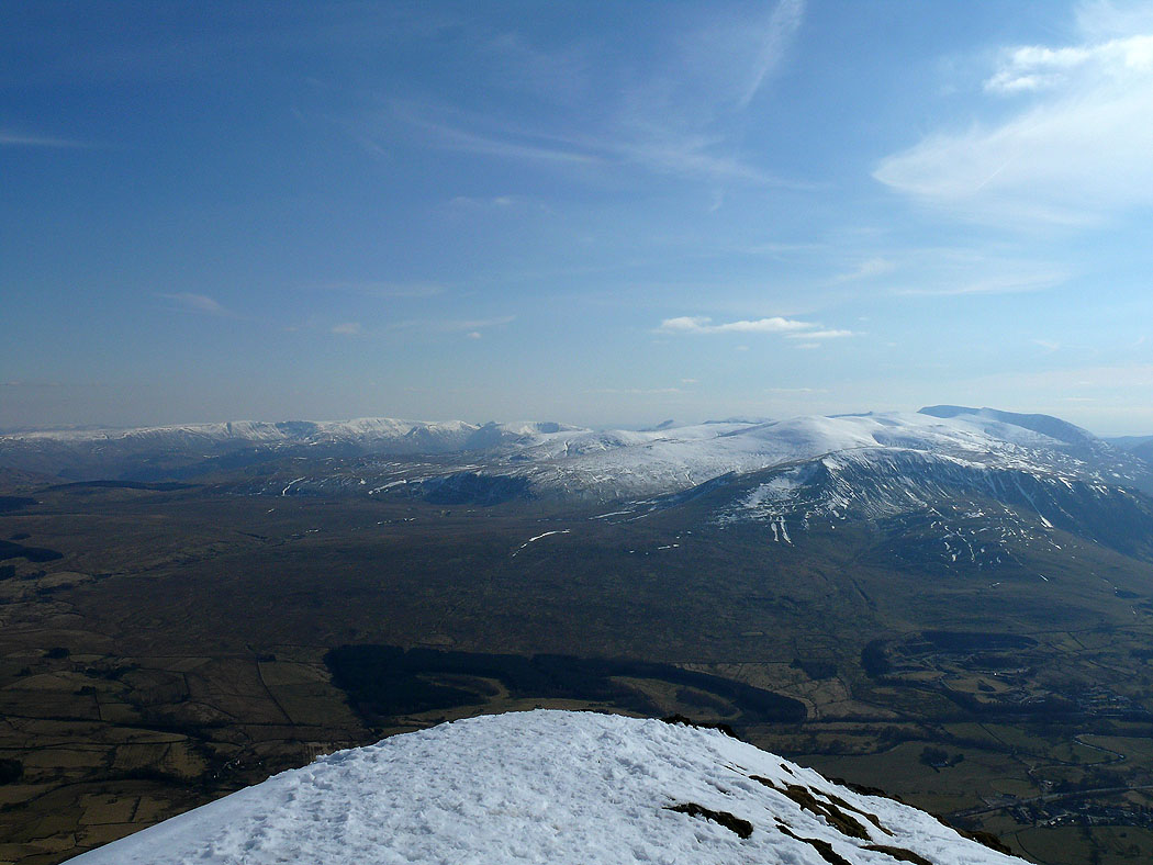
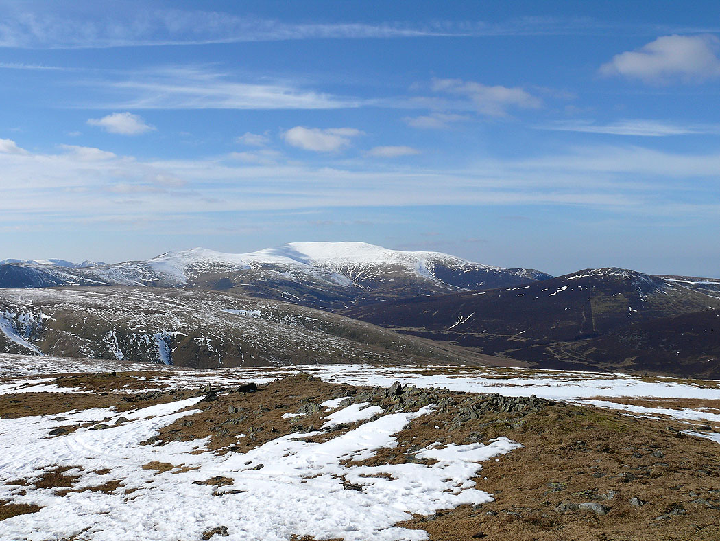
High Street and Helvellyn ranges from the summit of Blencathra
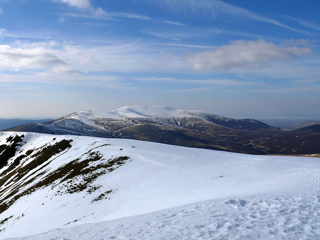
Skiddaw
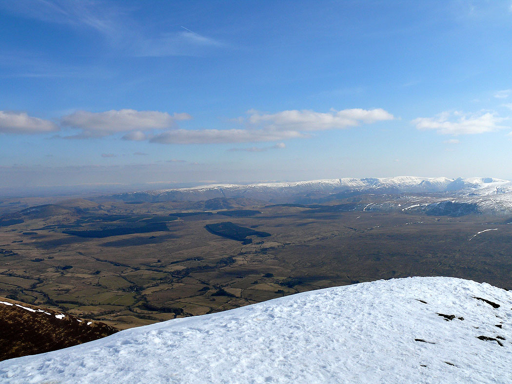
Looking east towards the North Pennines
High Street range
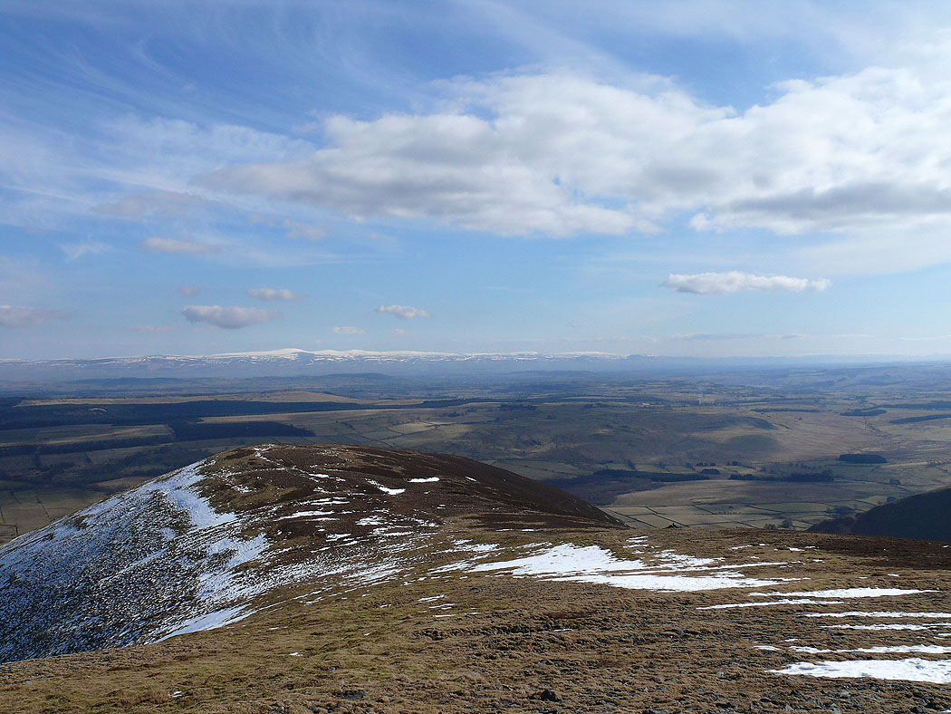
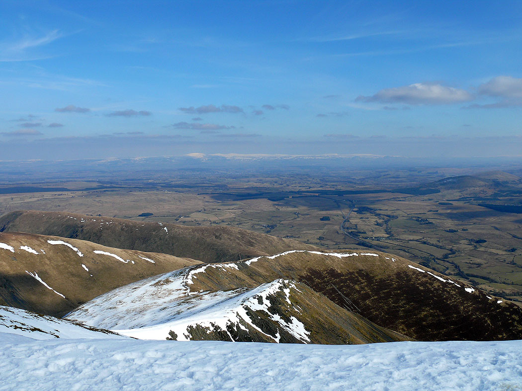
The view southwest past Gategill Fell Top. Too many fells to name.
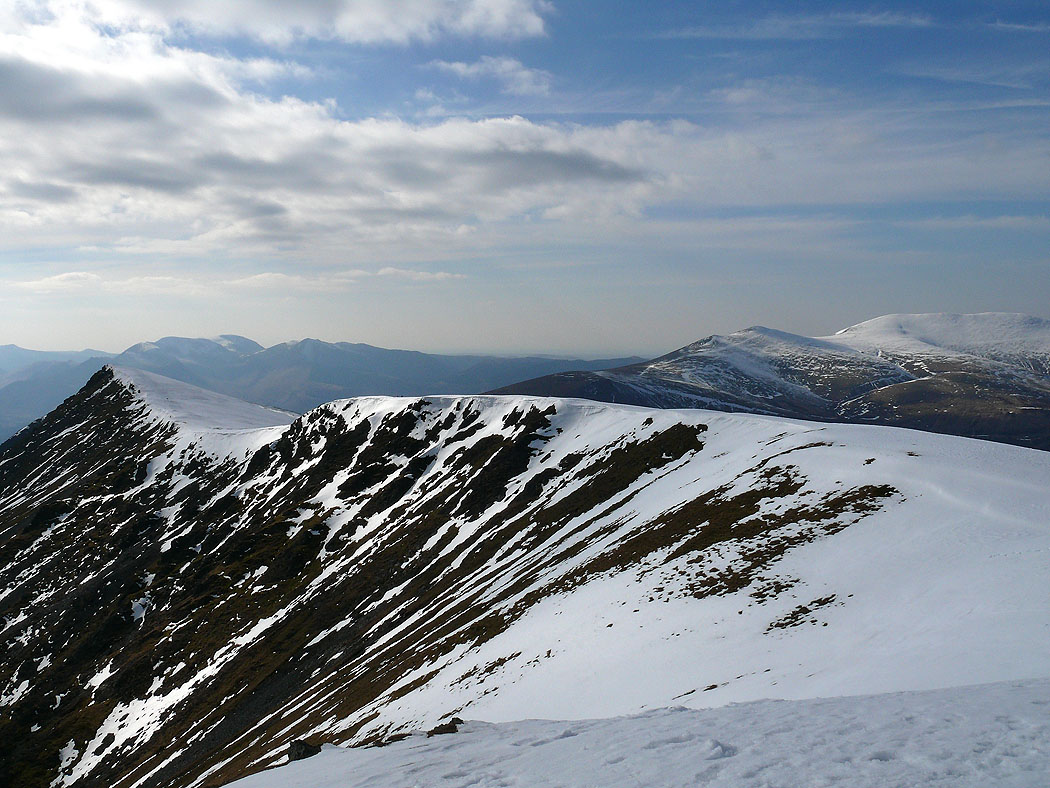
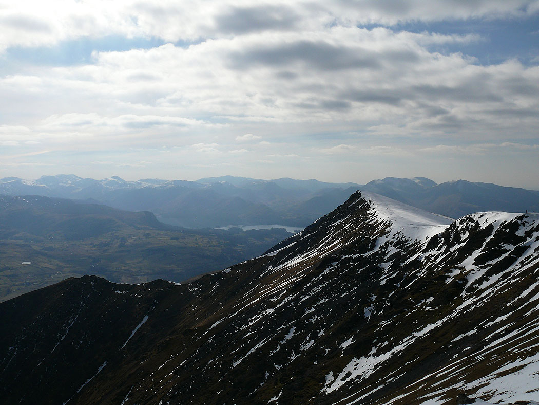
The summit ridge of Blencathra
High Street and Helvellyn ranges from mid-air?
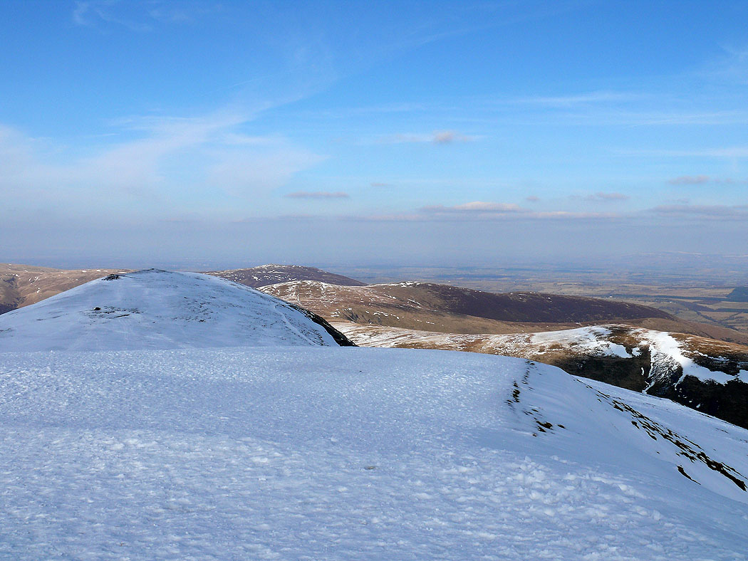
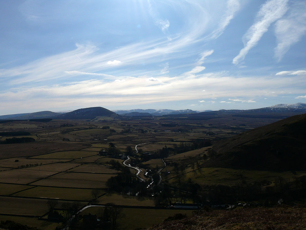
Looking back at the route so far. Bowscale Fell and Bannerdale Crags.
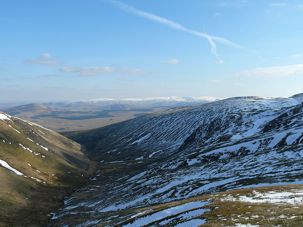
My route now takes me along the path on the left hand bank of the River Glendermackin, onto Souther Fell and back to Mungrisdale.
Great Dodd and Clough Head from Souther Fell
High Street range from Souther Fell
Zooming in
A final picture before the descent to Mungrisdale