10th March 2012 - A Hodder Valley wander
Walk Details
Distance walked: 6.7 miles
Total ascent: 959 ft
OS map used: OL41 - Forest of Bowland & Ribblesdale
Time taken: 3 hrs
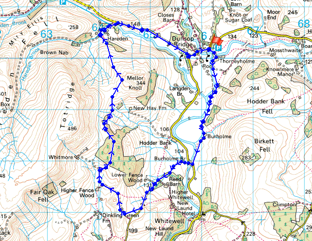
Route description: Dunsop Bridge-Thorneyholme Hall-Burholme-Burholme Bridge-Tunstall Ing Farm-Whitemore-Hareden Farm-Dunsop Bridge
A walk around the Hodder valley from Dunsop Bridge. Starting from Dunsop Bridge I followed the Hodder downstream to Burholme Bridge before heading back along a path high above the valley. All sorts of weather encountered, windy throughout but sunshine one minute then drizzle the next.
Route map
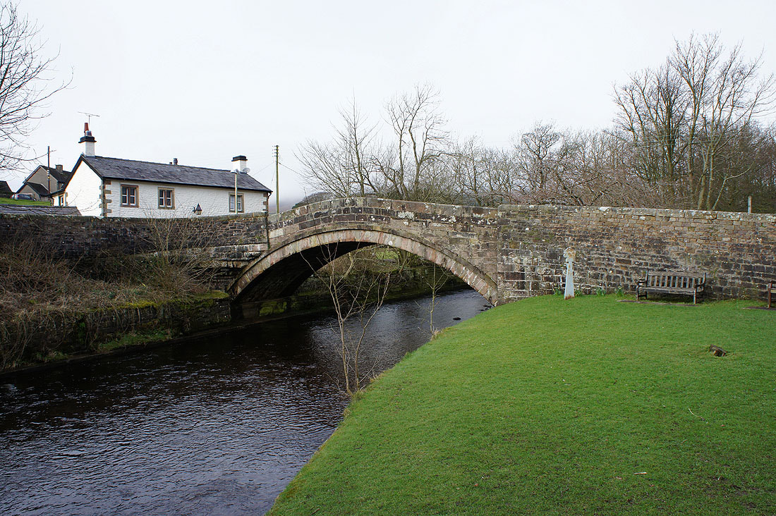
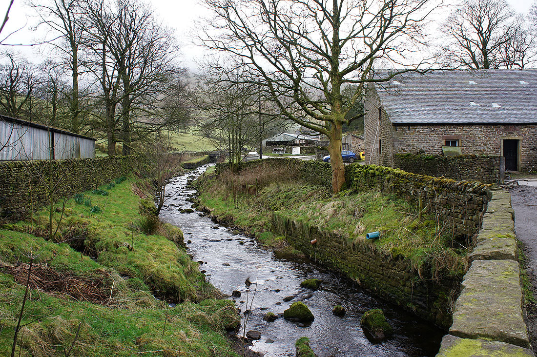
Dunsop Bridge
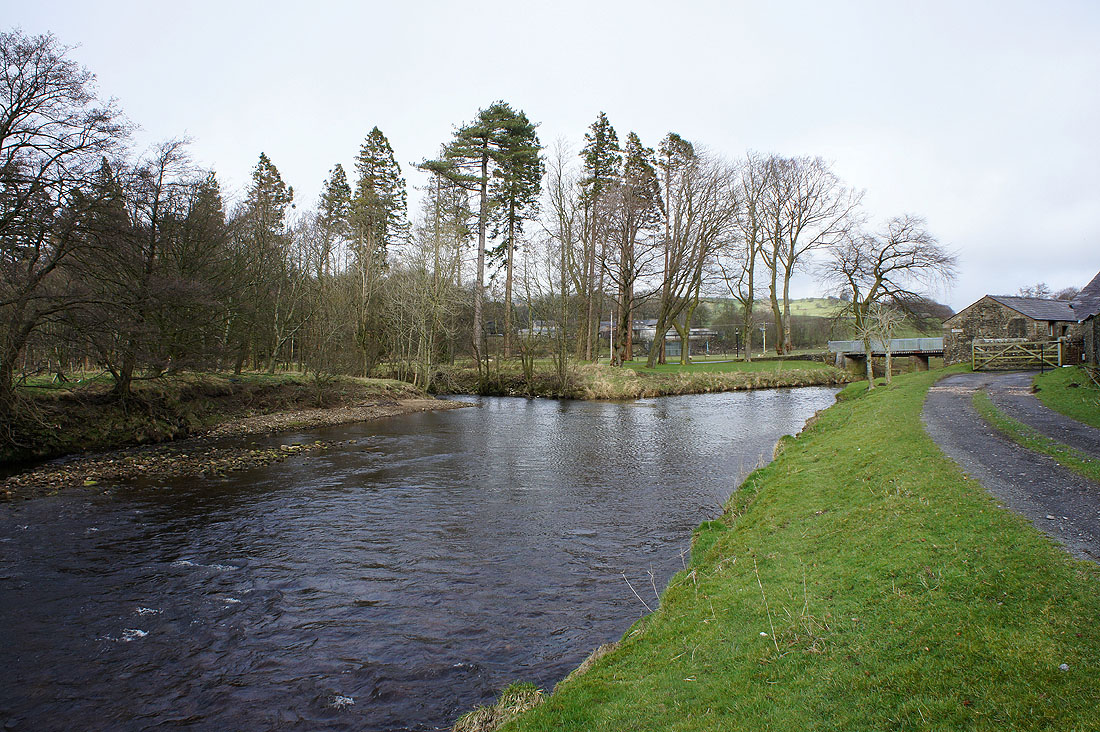
The confluence of the rivers Dunsop and Hodder
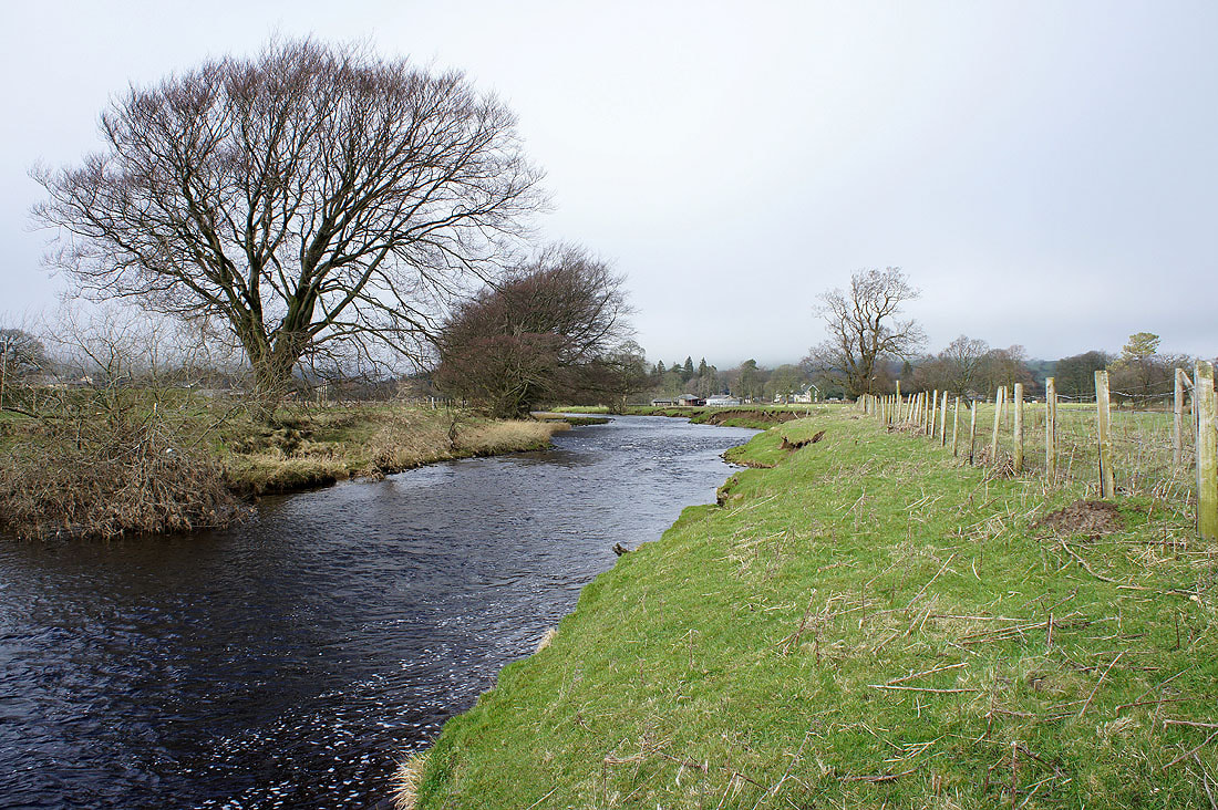
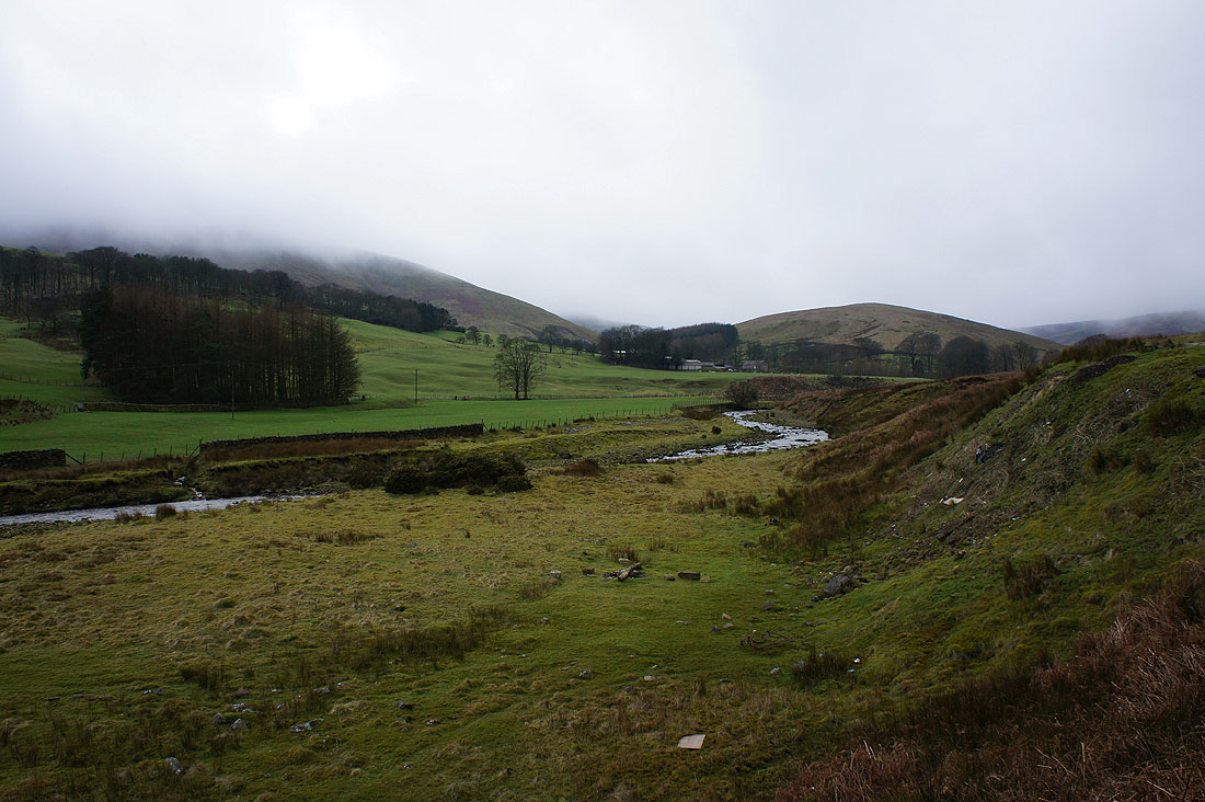
By the Hodder
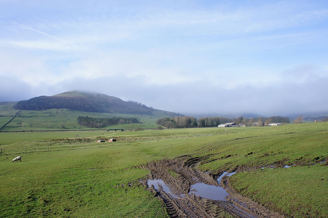
The Hodder valley from Burholme Farm. The hill on the left is Mellor Knoll.
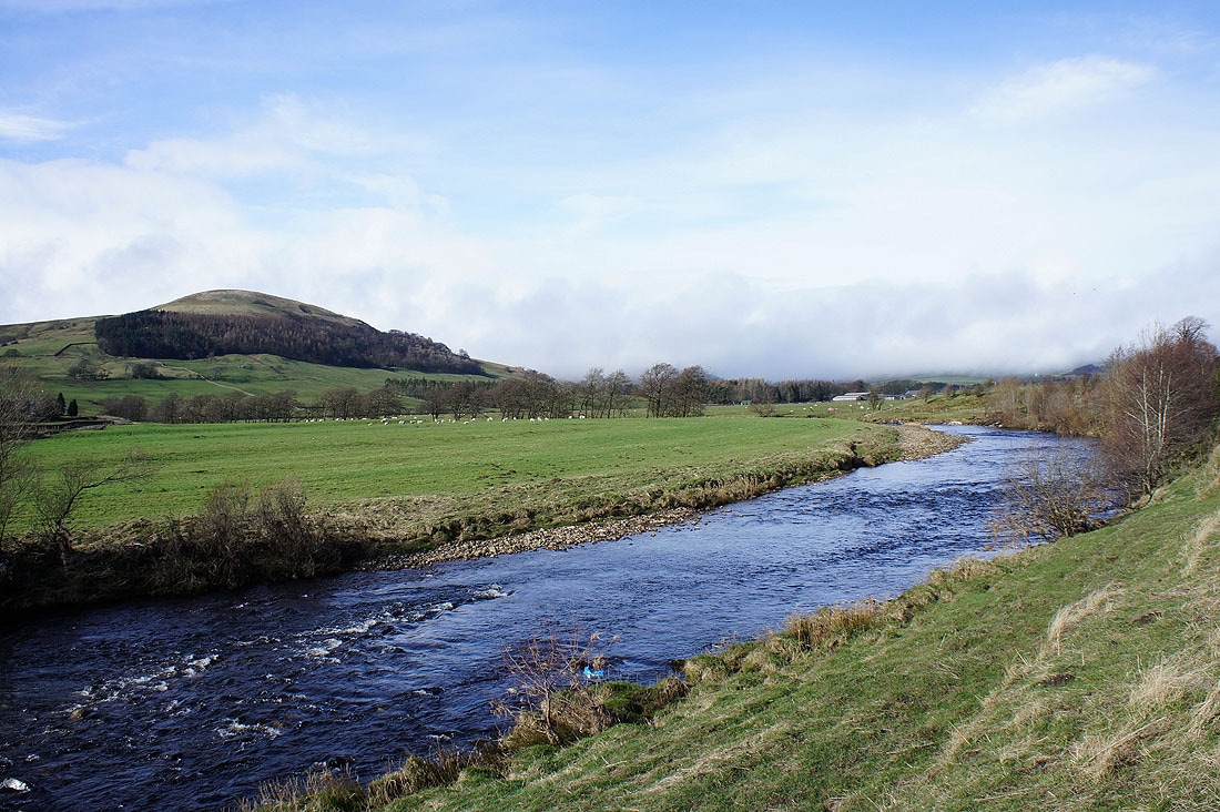
Mellor Knoll and the River Hodder
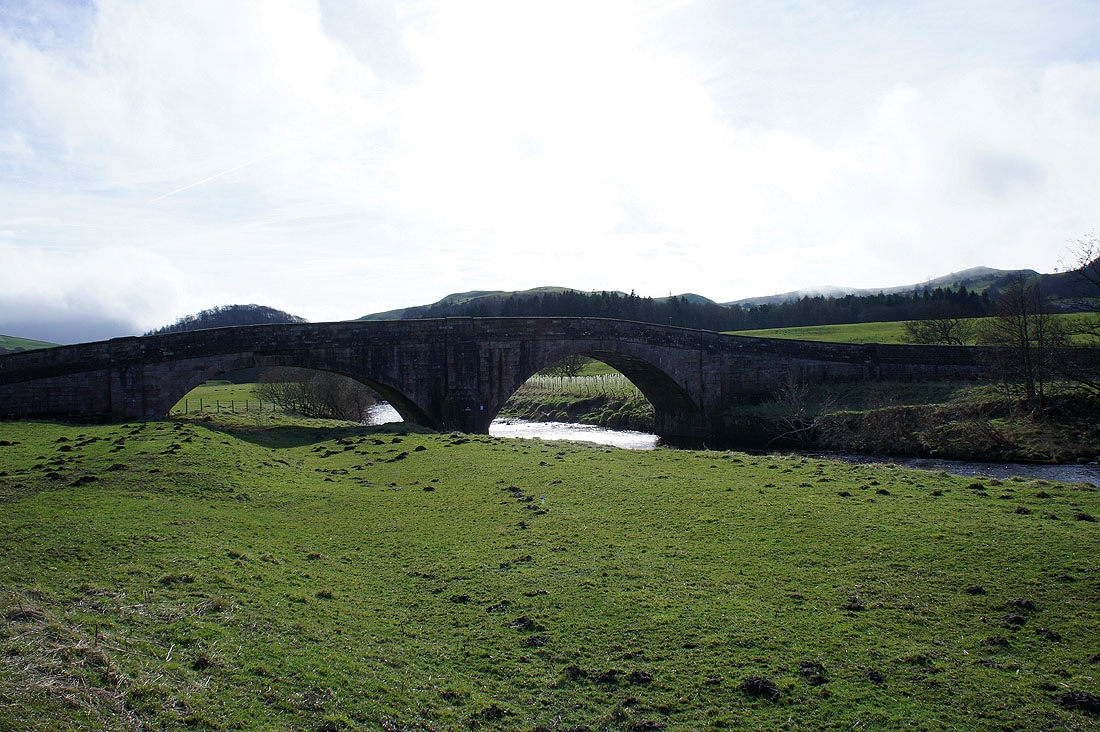
Burholme Bridge
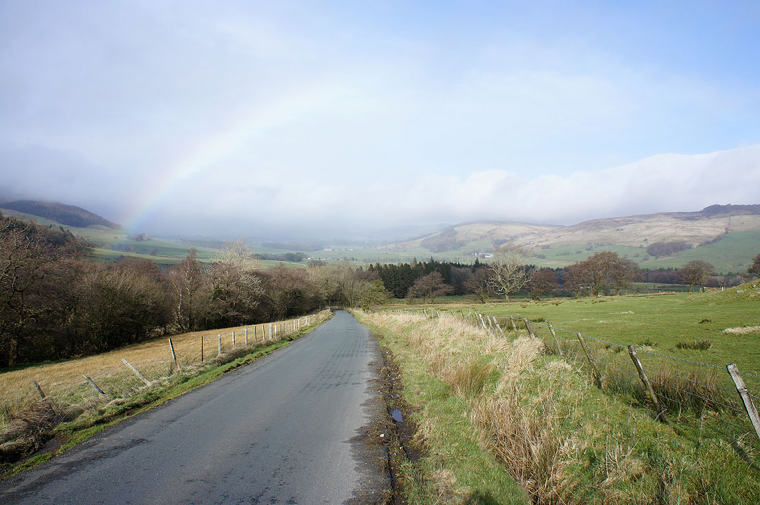
Sunshine and drizzle
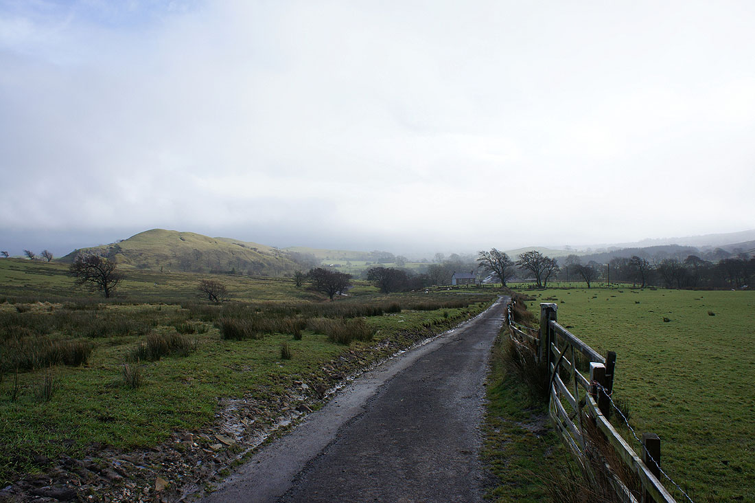
Heading back on the other side of the valley. The hill on the left is Long Knots.
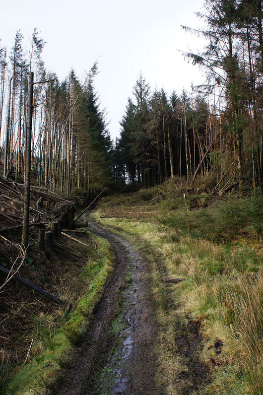
In Whitemore Plantation
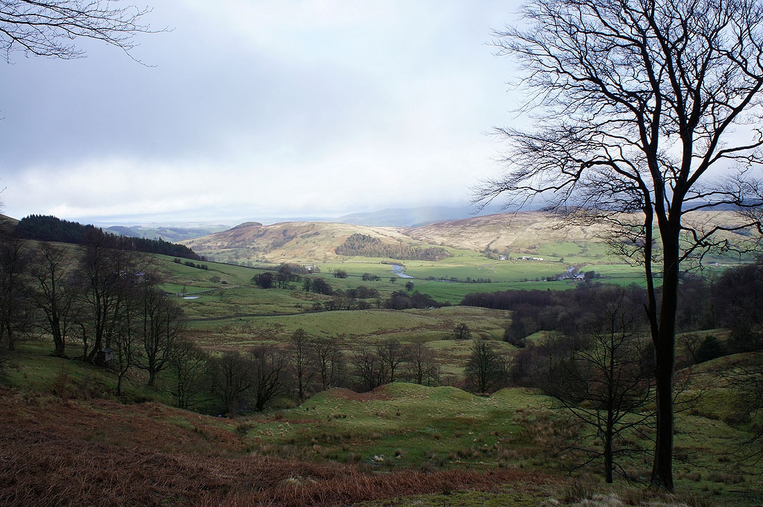
Above the Hodder valley
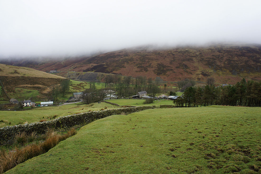
Heading down to Hareden Farm
Hareden Brook at Hareden Farm
Langden Brook on the way back to Dunsop Bridge
