10th March 2015 - Great Whernside
Walk Details
Distance walked: 7.4 miles
Total ascent: 1856 ft
OS map used: OL30 - Yorkshire Dales, Northern & Central areas
Time taken: 5 hrs
Route description: Kettlewell-Hag Dyke-Great Whernside-Blackfell Top-Tor Dike-Starbotton Road-Top Mere Road-Kettlewell
There's a fine day forecast for today and both my brothers, Stephen and Andy, were available to join me for this walk in the Yorkshire Dales. It was supposed to be clear and sunny with light winds, but quite a bit of cloud built up during our ascent and there was a strong cold breeze on the summit. We even got caught by a brief shower on the path across Tor Dike. Never mind, it made the post-walk tea and cake even more enjoyable.
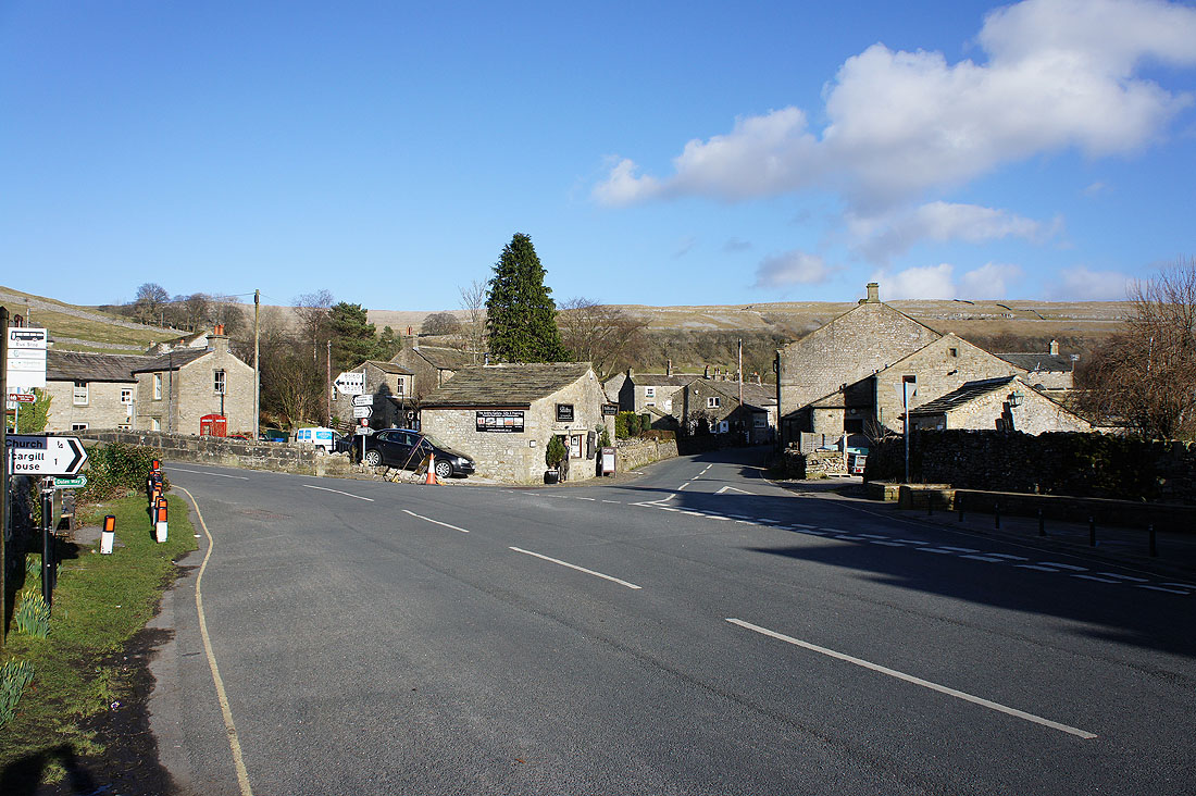
From the NP car park we walked through the village and onto the path for Hag Dyke. Once there we carried on up the path to the summit of Great Whernside. Our route back took us north to Blackfell Top before heading down to the road across to Coverdale. We crossed the road for the path along Tor Dike, and then the bridleways of Starbotton Road and Top Mere Road took us back to Kettlewell.
Total ascent: 1856 ft
OS map used: OL30 - Yorkshire Dales, Northern & Central areas
Time taken: 5 hrs
Route description: Kettlewell-Hag Dyke-Great Whernside-Blackfell Top-Tor Dike-Starbotton Road-Top Mere Road-Kettlewell
There's a fine day forecast for today and both my brothers, Stephen and Andy, were available to join me for this walk in the Yorkshire Dales. It was supposed to be clear and sunny with light winds, but quite a bit of cloud built up during our ascent and there was a strong cold breeze on the summit. We even got caught by a brief shower on the path across Tor Dike. Never mind, it made the post-walk tea and cake even more enjoyable.
From the NP car park we walked through the village and onto the path for Hag Dyke. Once there we carried on up the path to the summit of Great Whernside. Our route back took us north to Blackfell Top before heading down to the road across to Coverdale. We crossed the road for the path along Tor Dike, and then the bridleways of Starbotton Road and Top Mere Road took us back to Kettlewell.
Route map
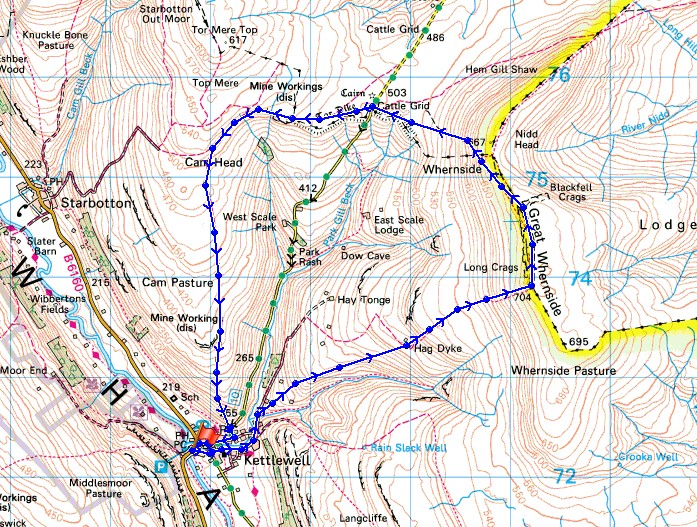
© Crown copyright. All rights reserved. License number PU 100034184.
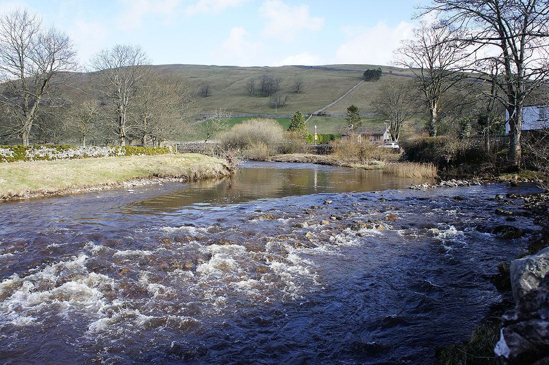
By the Wharfe in Kettlewell
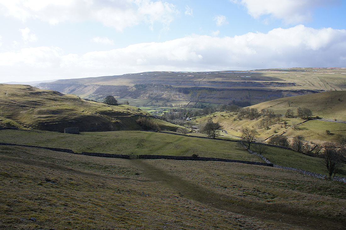
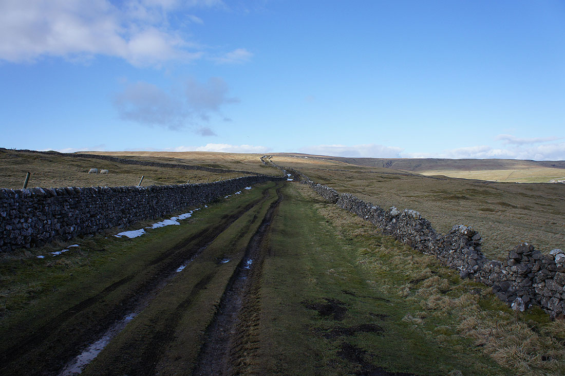
Looking back down from the path to Hag Dyke
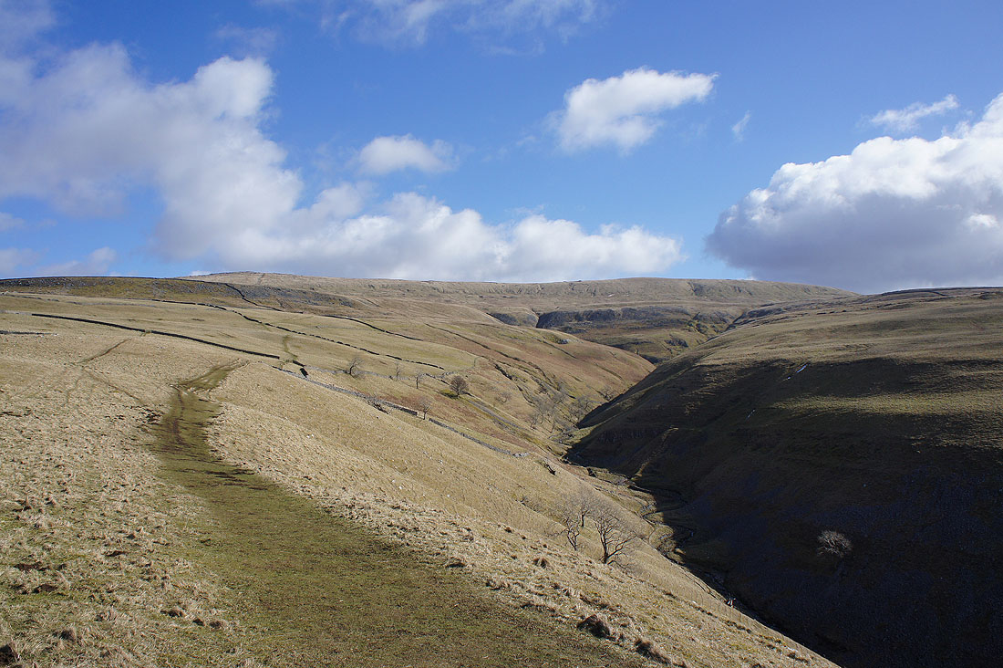
and the route ahead, with the summit in sight. Dowber Gill is below on the right.
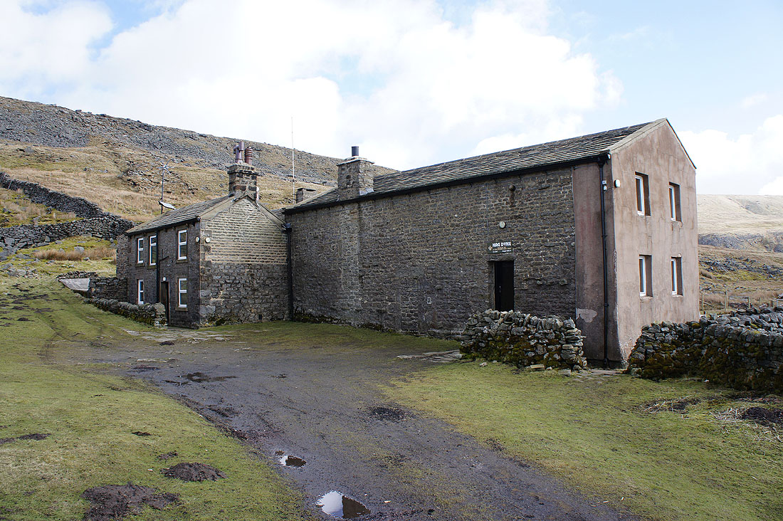
At the Hag Dyke Scout Hostel
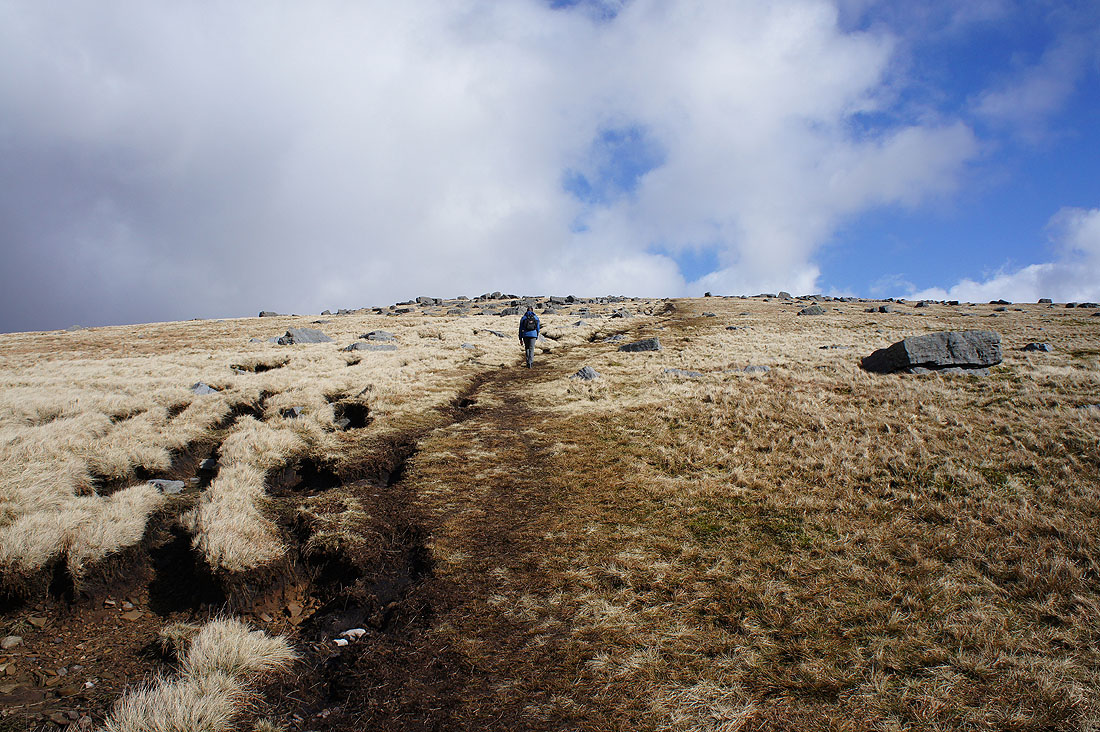
With all the boulders about the summit must be close
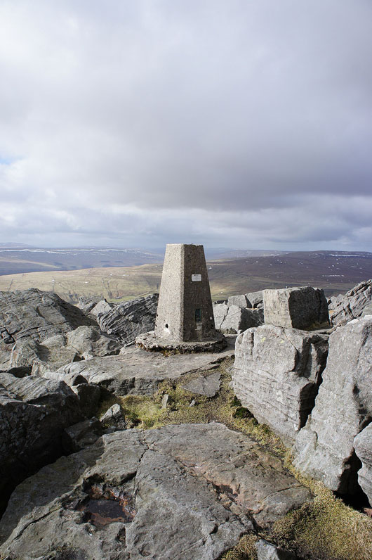
The trig point on the summit of Great Whernside
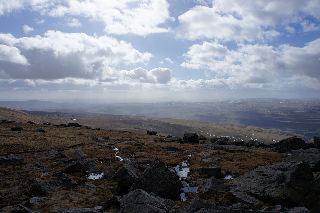
Unfortunately the visibility isn't as good as it was forecast to be. I can still make out Pendle Hill in the distance though.

Fountains Fell, Penyghent, Plover Hill and Birks Fell beyond the nearby slopes of Buckden Pike
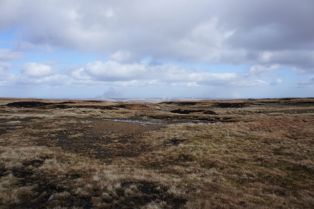
Heather burning on the fells around Nidderdale to the east

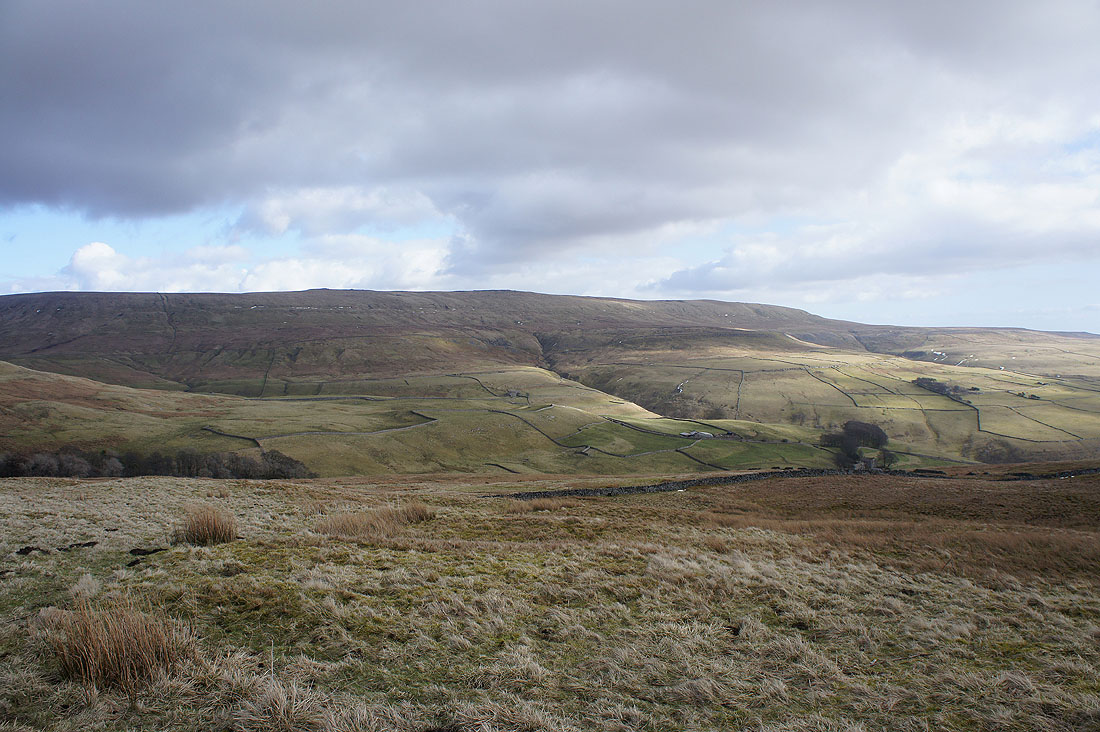
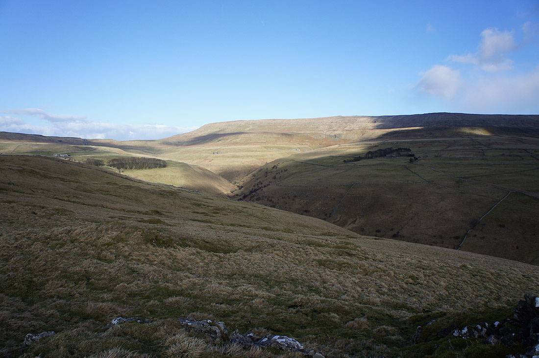
and the fells around Coverdale to the northeast
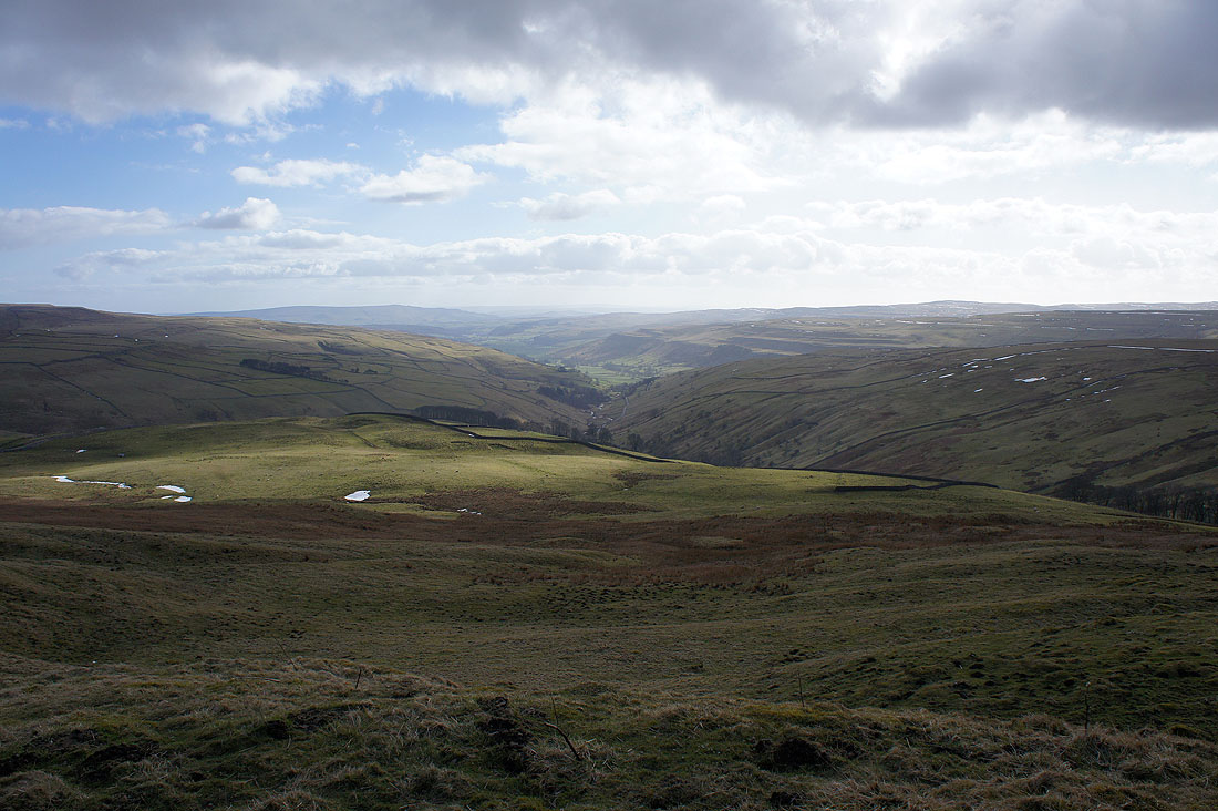
We've crossed the road to Coverdale and are on the path along Tor Dike. There's a nice view down the valley of Cam Gill Beck to Wharfedale.
and across to Great Whernside. Our route of ascent was up the sunlit slope on the right.
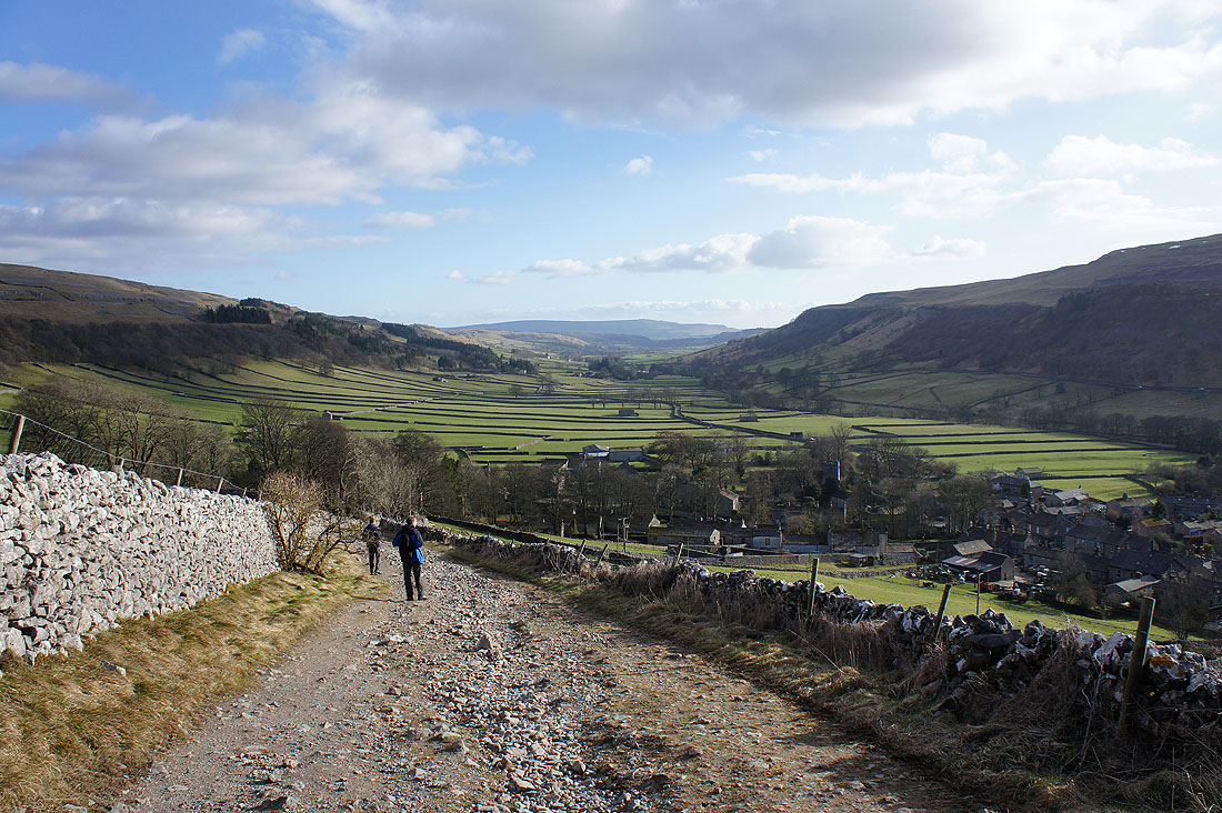
Looking back up the track of Top Mere Road, our route down to Kettlewell
A patch of sunshine drifts across Great Whernside
The final descent into Kettlewell
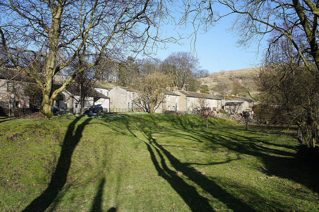
Back in Kettlewell and there are sunny skies to enjoy