10th November 2015 - Stoodley Pike
Walk Details
Distance walked: 5.6 miles
Total ascent: 1145 ft
OS map used: OL21 - South Pennines
Time taken: 3.5 hrs
Route description: Lobb Mill picnic site by A646-Rochdale Canal-Burnt Acres Wood-Height Gate Farm-Pennine Way-Stoodley Pike-Pennine Way-Calderdale Way-Lumbutts-Lumbutts Clough-Rochdale Canal-Lobb Mill picnic site by A646
I've not picked the right week to use up the last of my days off for this year. Never mind, although it's very windy today at least it is forecast to stay dry. So, I decided to make the short drive across to Calderdale for an afternoon walk up Stoodley Pike.
From the picnic site by the A646 at Lobb Mill I crossed the road and accessed the towpath of the Rochdale Canal. I then followed the towpath east until I reached Holmcoat Bridge and a path that heads up through Burnt Acres Wood and then to Height Gate Farm. From here I took a path up and onto the hill behind the farm that joins the Pennine Way, which I then followed to Stoodley Pike. After taking a break in the shelter of the monument I continued on The Pennine Way to Withins Gate. Here I made a short detour towards Withins Clough to see the "Te Deum Stone" before taking the Calderdale Way down towards Lumbutts and the Top Brink Inn. I walked through the car park of the pub to take the path down through Lumbutts Clough and onto the road to the Rochdale Canal. Once on the towpath there was a short walk east along it and then back across the main road to where I was parked.
Route map
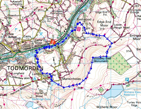
© Crown copyright. All rights reserved. License number PU 100034184.
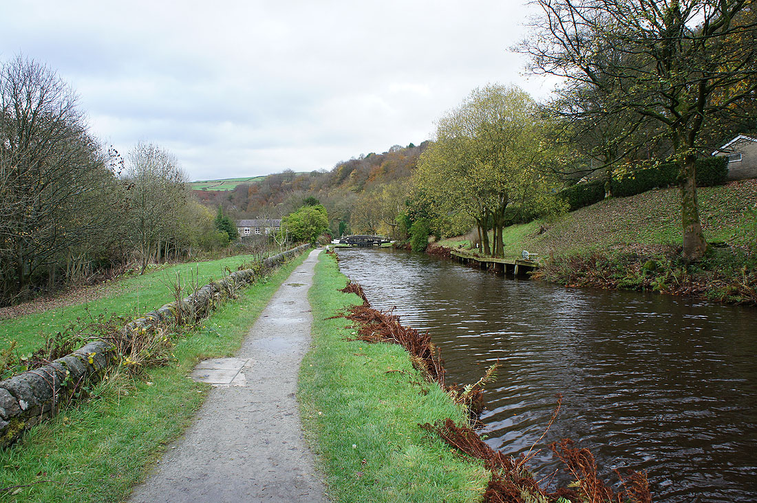
After crossing the main road, on the towpath of the Rochdale Canal
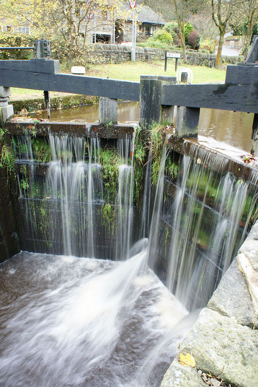
An overflowing Shawplains Lock
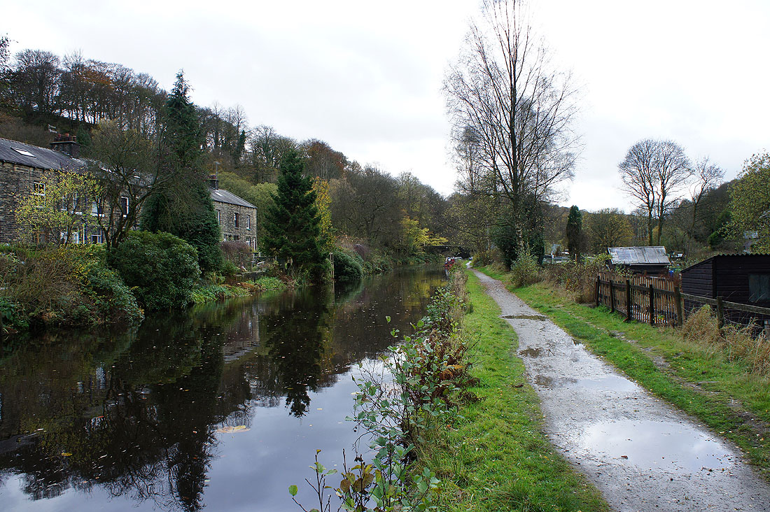
More canalside scenery before..
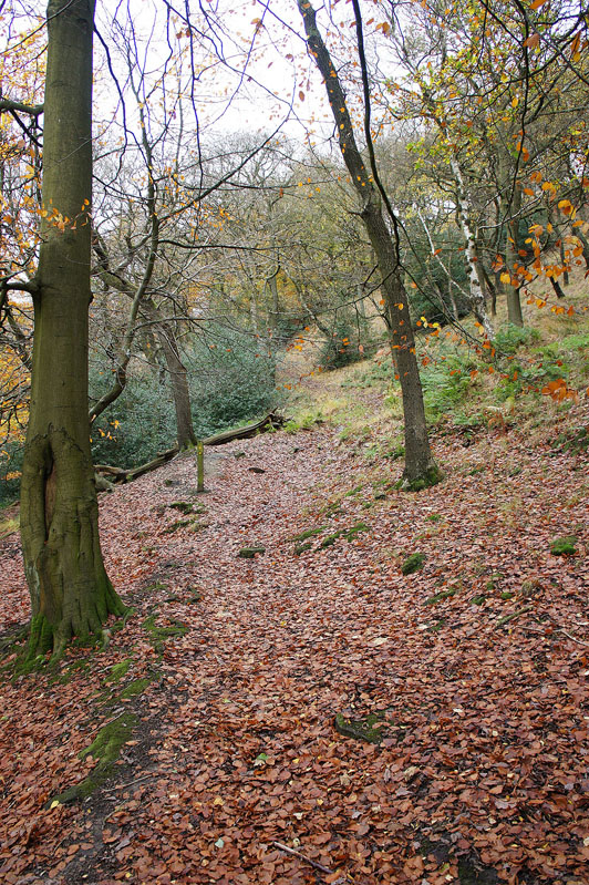
..I take the path up through Burnt Acres Wood
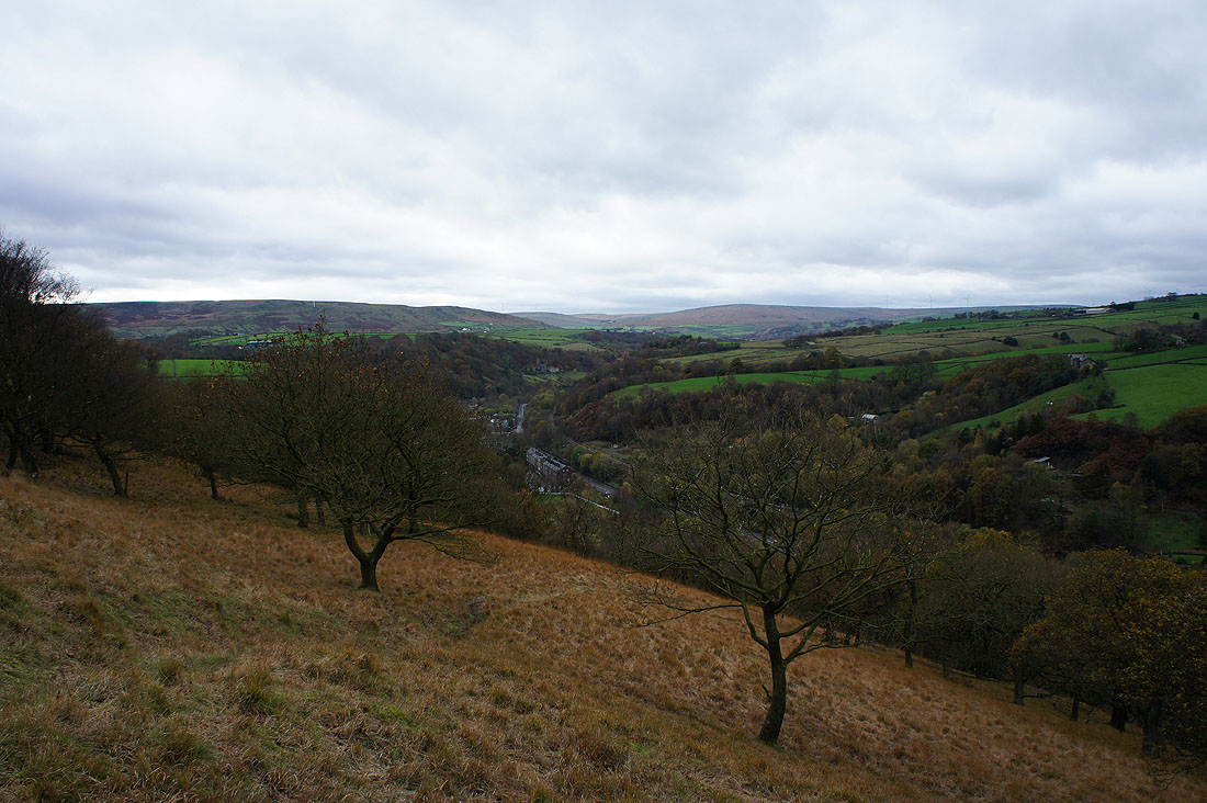
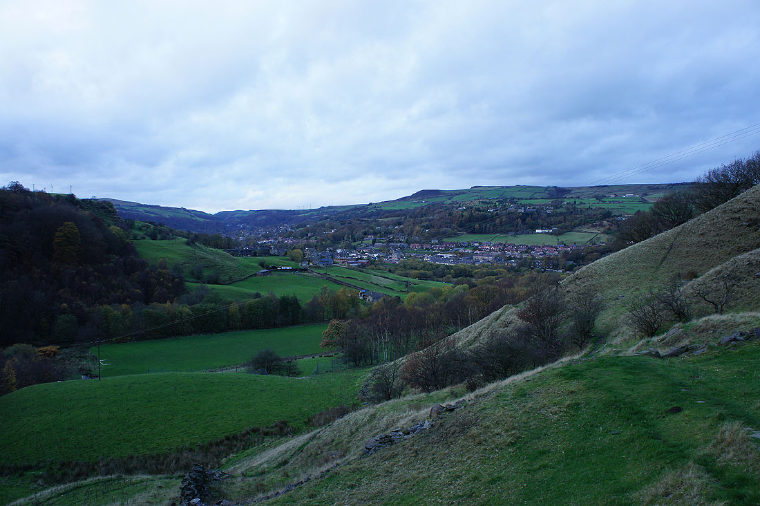
Looking up Calderdale..
..and down Calderdale as I reach the top of the woods
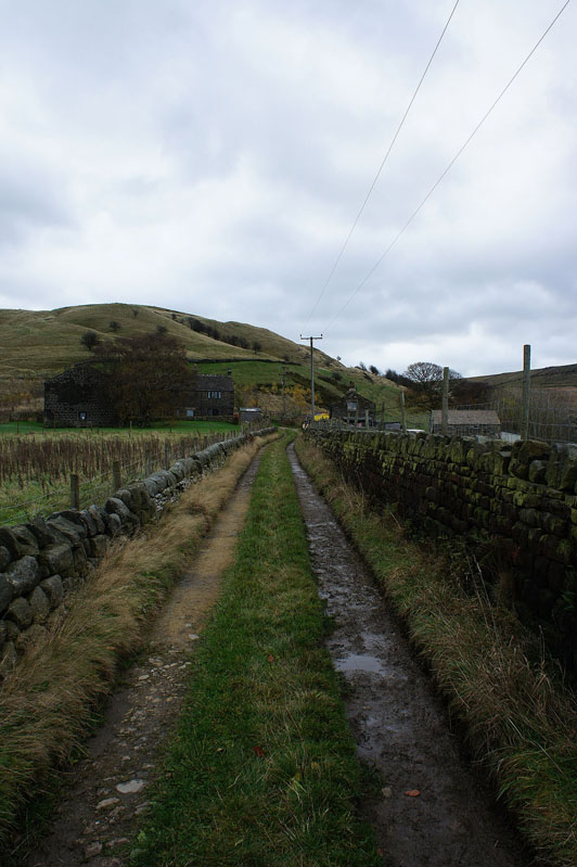
Approaching Height Gate Farm
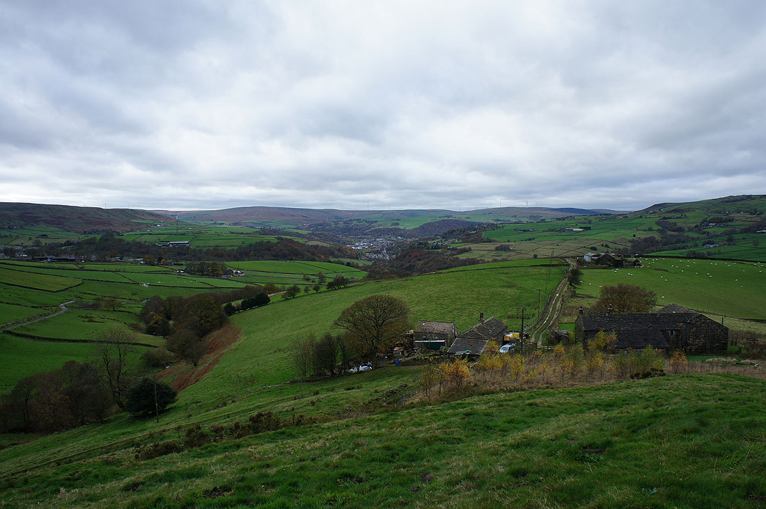
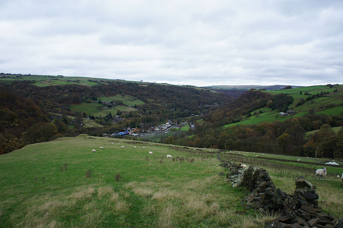
Calderdale from above Height Gate Farm
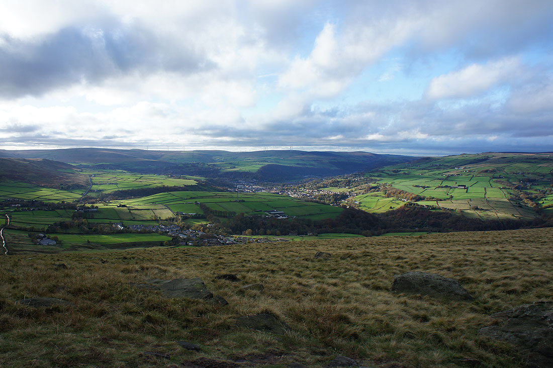
The skies have brightened a little while I had lunch in the shelter of the monument but it's still very windy. It took some effort to keep the camera still. Looking up Calderdale to Todmorden and the moorland summits of Freeholds Top and Thieveley Pike.
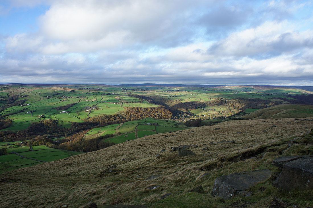
The wooded Jumble Hole Clough on the other side of the valley
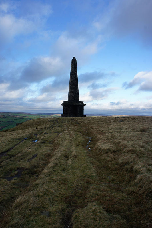
The Stoodley Pike Monument
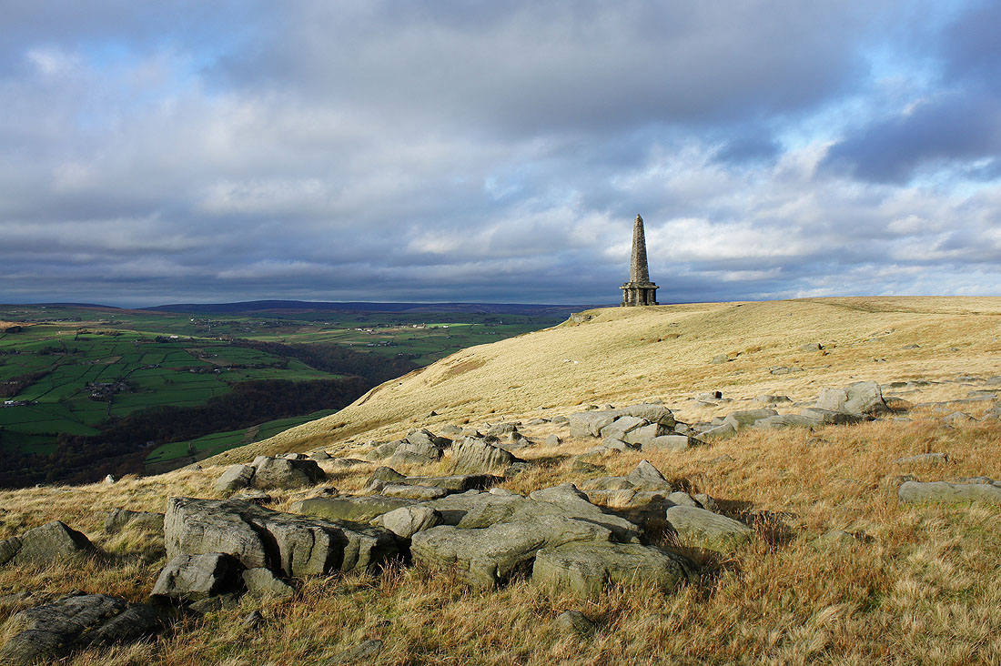
A brief appearance of the sun really brings out the colours of the moors
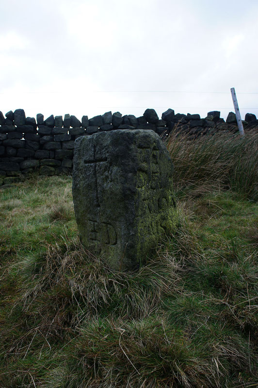
The "Te Deum Stone". A coffin stone on the former packhorse route between Cragg Vale and Mankinholes. I made a brief detour to see it.
Heading down to Lumbutts
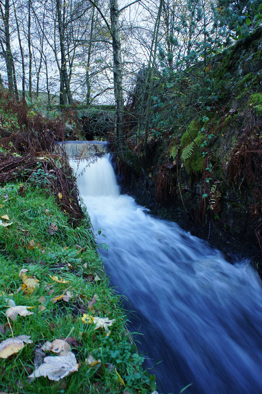
Plenty of water from a very full Lee Dam
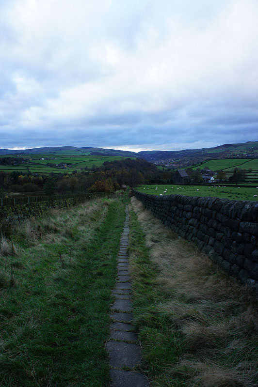
On the path down Lumbutts Clough
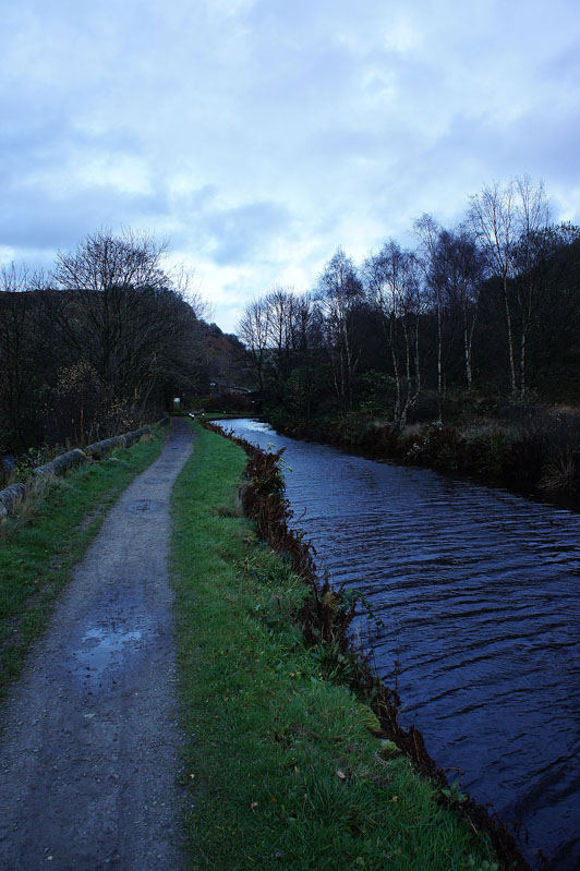
and back by the Rochdale Canal for a short walk to where I'm parked