10th November 2019 - Great Shunner Fell
Walk Details
Distance walked: 12.9 miles
Total ascent: 1912 ft
OS map used: OL30 - Yorkshire Dales, Northern & Central areas and OL19 - Howgill Fells & Upper Eden Valley
Time taken: 6.5 hrs
Route description: Hawes-Pennine Way-Haylands Bridge-Brunt Acres Road-Pennine Way-Hardraw-Pennine Way-Cotterdale-East Gill-Jinglemea Bog-Crag End Beacon-Pennine Way-Great Shunner Fell-Pennine Way-Hardraw-Pennine Way-Brunt Acres Road-Haylands Bridge-Pennine Way-Hawes
I decided to head to Hawes in Wensleydale for my walk this weekend and climb Great Shunner Fell. A fine autumn day is forecast and there are great views to enjoy from its summit. Following the Pennine Way there and back is pretty much the only sensible route on offer when starting from Hawes, but to mix it up a little I took the footpath into Cotter Dale and then the bridleway from the hamlet of Cotterdale up to Great Shunner Fell's south ridge on my outbound journey. I did the same route on my last walk up Great Shunner Fell in June 2018, which was on a day that couldn't have been more different. I set off from Hawes under sunny skies and it stayed that way through the morning. Unfortunately cloud built up after lunchtime so that the afternoon was quite grey at time. It made it feel colder than it already was with a northerly breeze and the ground frozen high up.
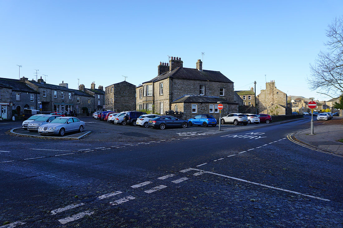
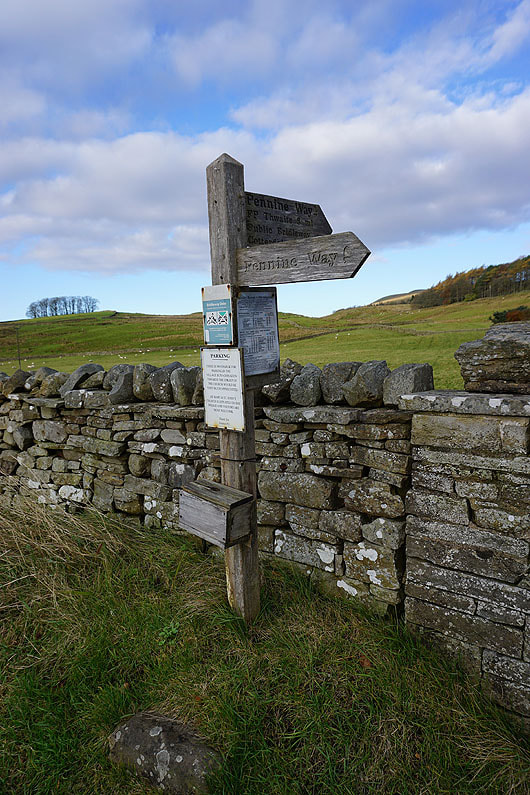
From the car park at the Countryside Museum in Hawes I made my way out to Brunt Acres Road to pick up the trail of the Pennine Way. I followed this north across Haylands Bridge, left it for a short while for a path on the left that's a short-cut, to pick it up again to reach Hardraw. I kept on the Pennine Way on leaving Hardraw to head up onto the south ridge of Great Shunner Fell. Soon after entering access land I left the trail for a footpath on the left signposted to Cotterdale. This heads down into and up the valley to reach the hamlet of Cotterdale. At the top end of Cotterdale I crossed the bridge over East Gill and took the bridleway signposted for Jinglemea Bog. This heads up through conifer plantations and onto the western slopes of Great Shunner Fell's south ridge where I picked up a path up to Crag End Beacon. I then followed the Pennine Way north to the summit of Great Shunner Fell. After having my lunch I followed the Pennine Way south back to Hardraw, and from there I then retraced my steps back to Hawes.
Total ascent: 1912 ft
OS map used: OL30 - Yorkshire Dales, Northern & Central areas and OL19 - Howgill Fells & Upper Eden Valley
Time taken: 6.5 hrs
Route description: Hawes-Pennine Way-Haylands Bridge-Brunt Acres Road-Pennine Way-Hardraw-Pennine Way-Cotterdale-East Gill-Jinglemea Bog-Crag End Beacon-Pennine Way-Great Shunner Fell-Pennine Way-Hardraw-Pennine Way-Brunt Acres Road-Haylands Bridge-Pennine Way-Hawes
I decided to head to Hawes in Wensleydale for my walk this weekend and climb Great Shunner Fell. A fine autumn day is forecast and there are great views to enjoy from its summit. Following the Pennine Way there and back is pretty much the only sensible route on offer when starting from Hawes, but to mix it up a little I took the footpath into Cotter Dale and then the bridleway from the hamlet of Cotterdale up to Great Shunner Fell's south ridge on my outbound journey. I did the same route on my last walk up Great Shunner Fell in June 2018, which was on a day that couldn't have been more different. I set off from Hawes under sunny skies and it stayed that way through the morning. Unfortunately cloud built up after lunchtime so that the afternoon was quite grey at time. It made it feel colder than it already was with a northerly breeze and the ground frozen high up.
From the car park at the Countryside Museum in Hawes I made my way out to Brunt Acres Road to pick up the trail of the Pennine Way. I followed this north across Haylands Bridge, left it for a short while for a path on the left that's a short-cut, to pick it up again to reach Hardraw. I kept on the Pennine Way on leaving Hardraw to head up onto the south ridge of Great Shunner Fell. Soon after entering access land I left the trail for a footpath on the left signposted to Cotterdale. This heads down into and up the valley to reach the hamlet of Cotterdale. At the top end of Cotterdale I crossed the bridge over East Gill and took the bridleway signposted for Jinglemea Bog. This heads up through conifer plantations and onto the western slopes of Great Shunner Fell's south ridge where I picked up a path up to Crag End Beacon. I then followed the Pennine Way north to the summit of Great Shunner Fell. After having my lunch I followed the Pennine Way south back to Hardraw, and from there I then retraced my steps back to Hawes.
Route map
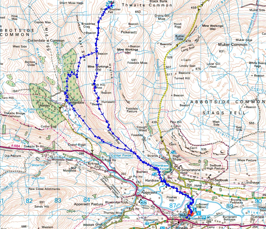
© Crown copyright. All rights reserved. License number PU 100034184.
It's a sunny and frosty start to the day as I set off from Hawes
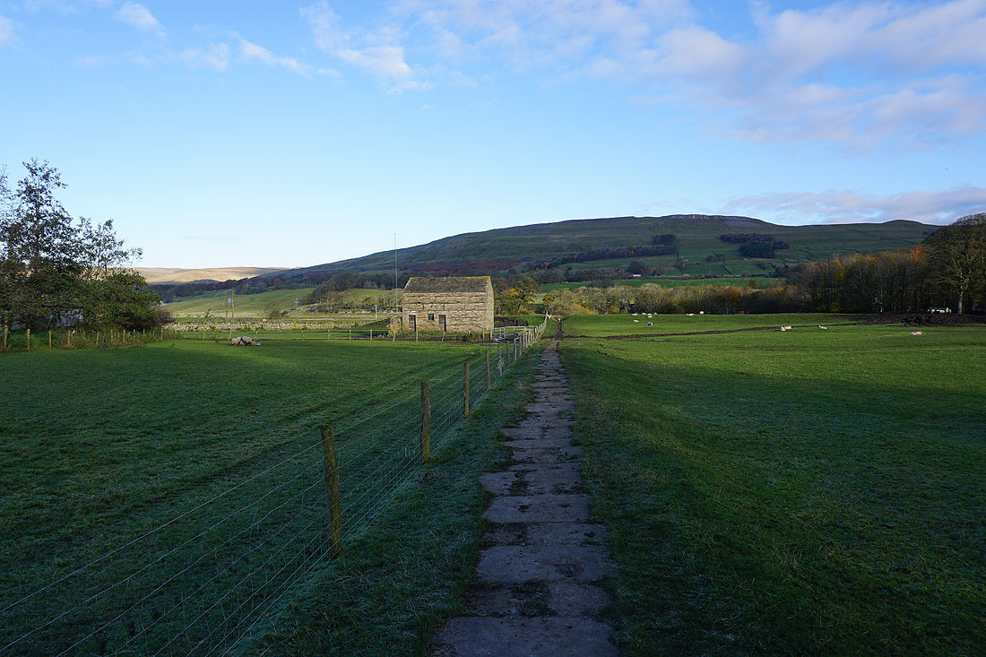
On the Pennine Way to Haylands Bridge
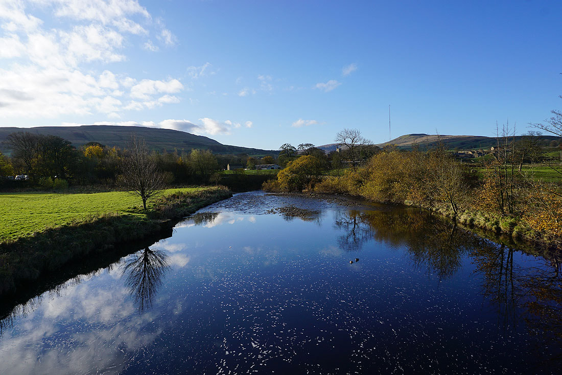
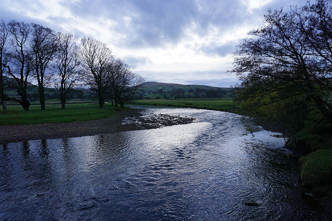
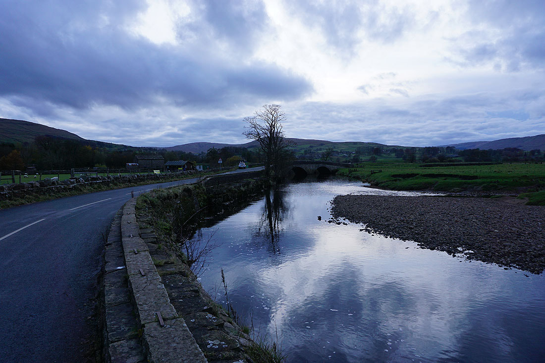
The River Ure from Haylands Bridge
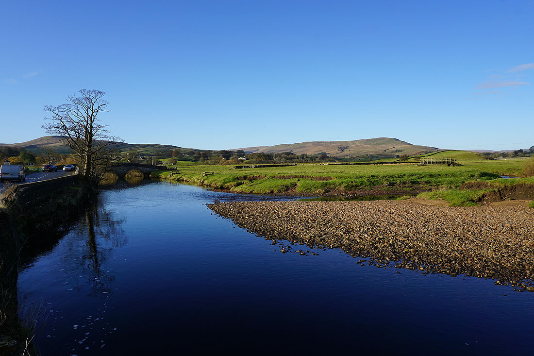
and from Brunt Acres Road
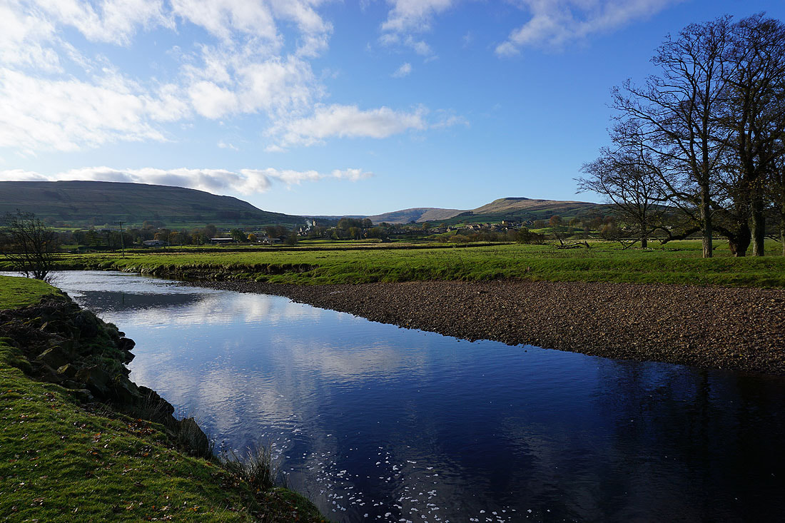
A couple more photos of the River Ure from the path to Hardraw..
On the path to Hardraw
Looking back with the slopes of Wether Fell on the right
Arriving in Hardraw
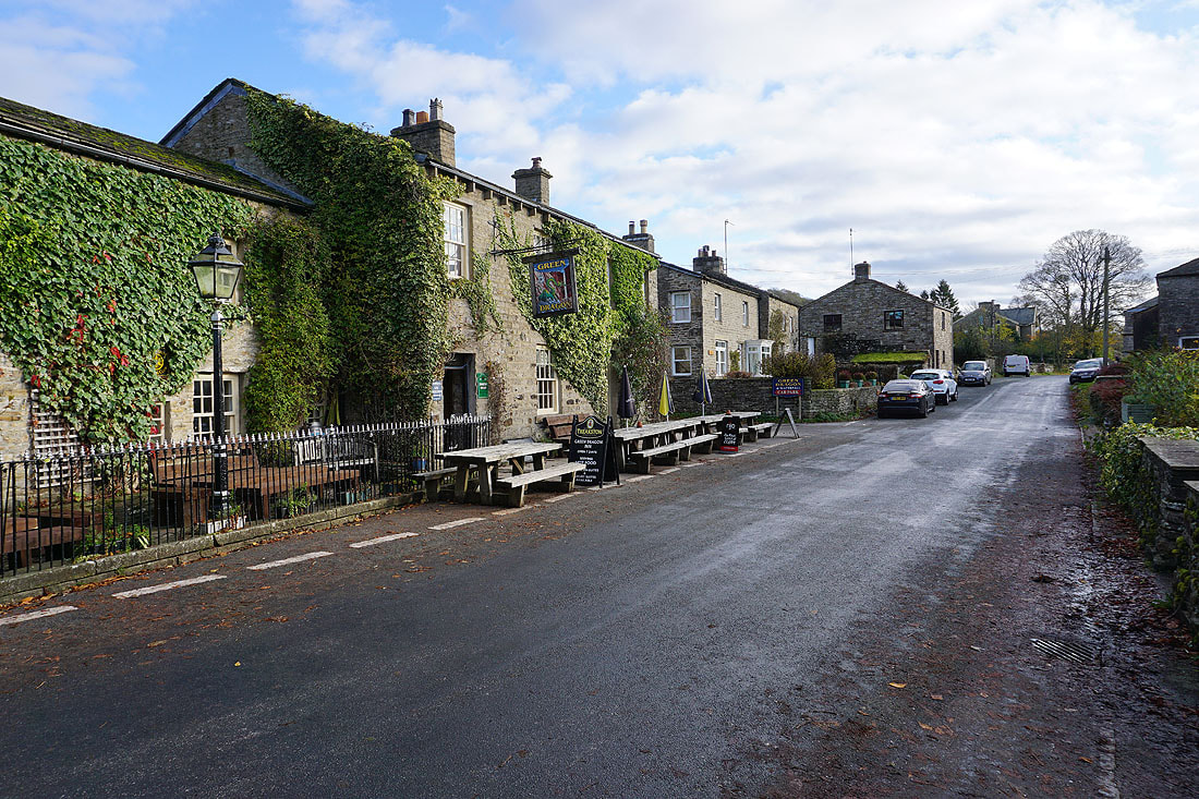
The Green Dragon pub in Hardraw
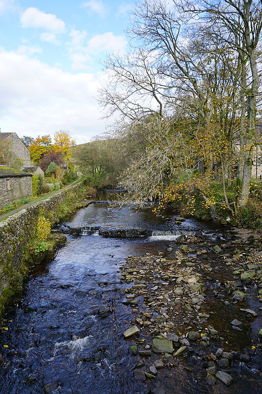
Hardraw Beck
|
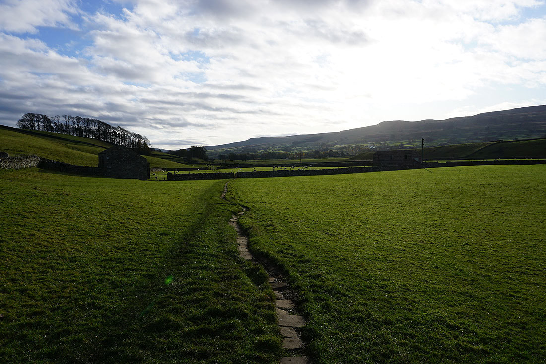
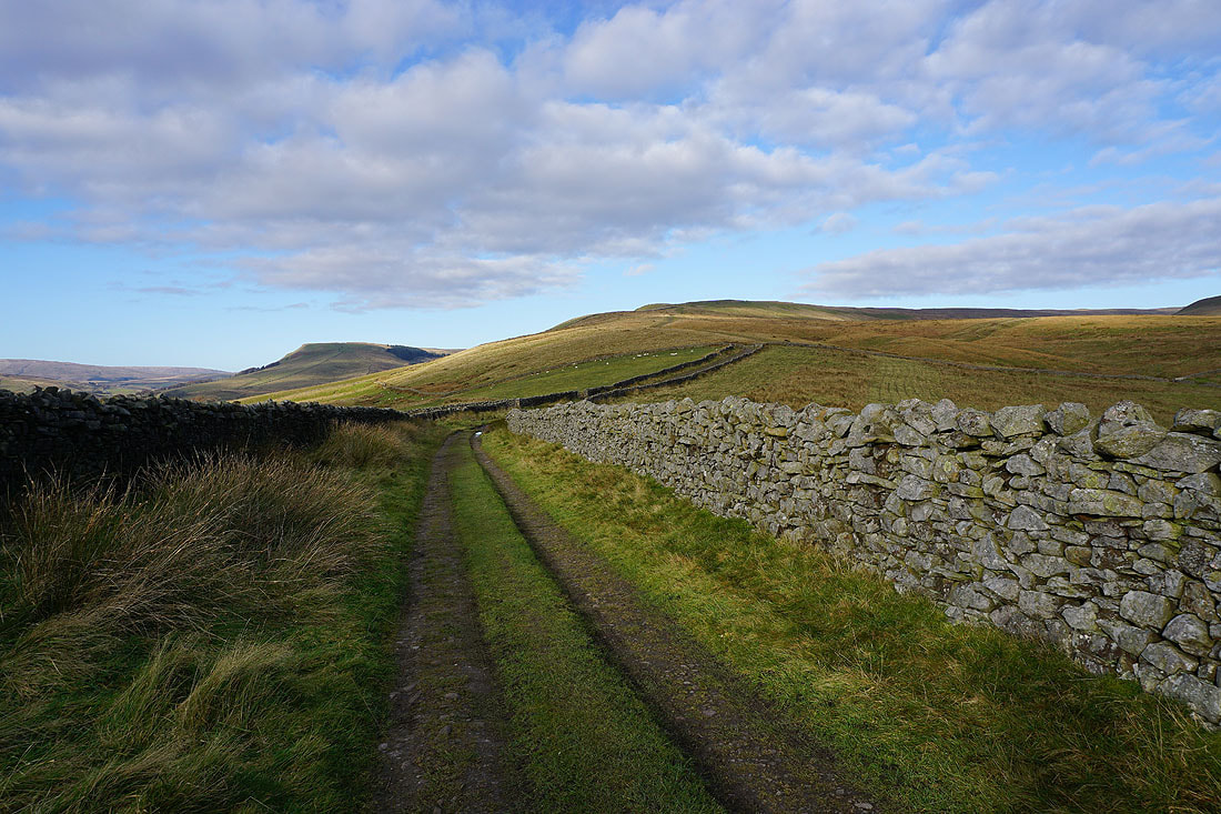
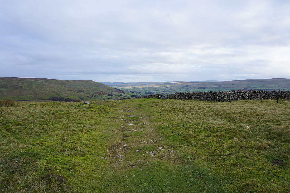
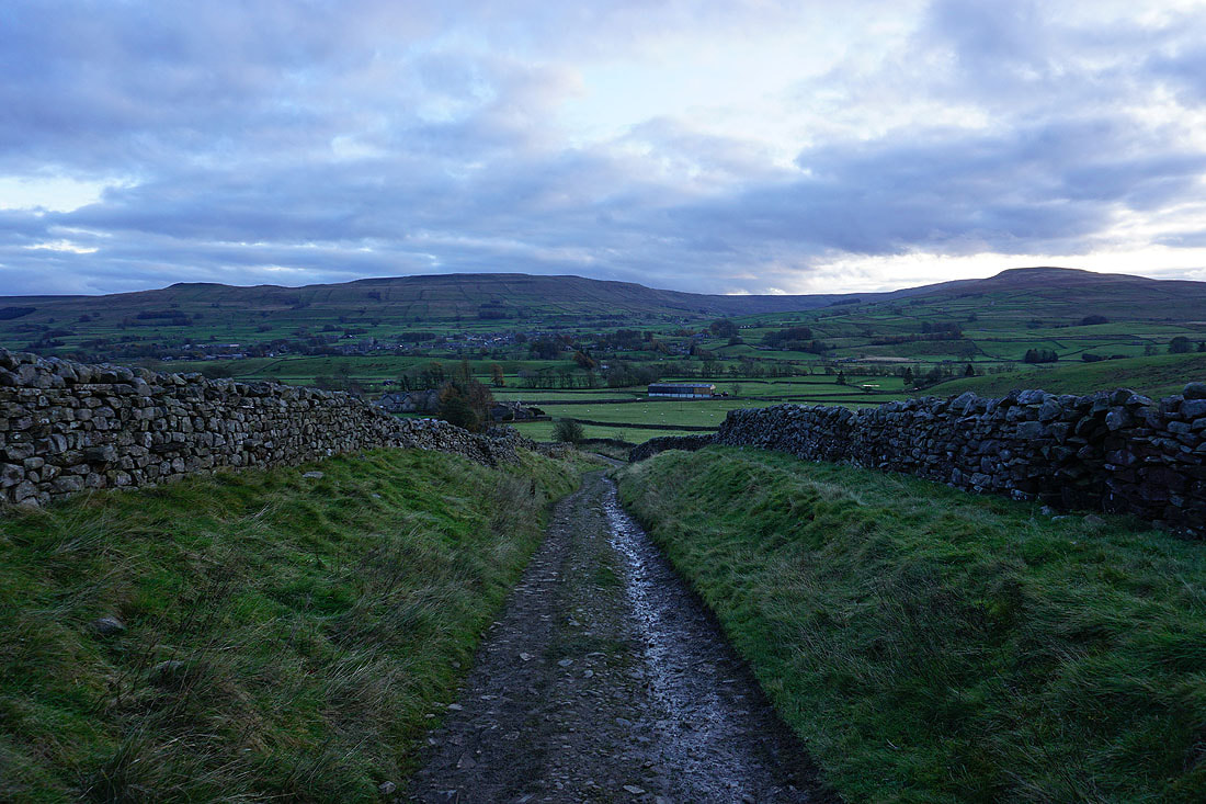
Leaving Hardraw by the Pennine Way
|
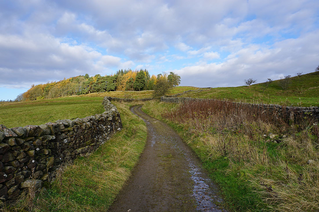
There's a good track to follow for now
Looking back across Wensleydale to Wether Fell, Sleddale and Ten End
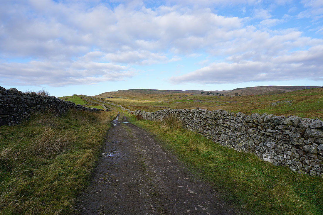
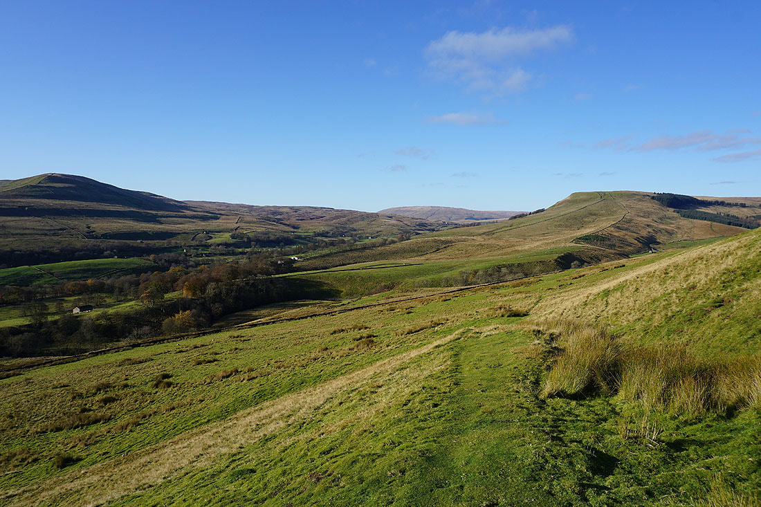
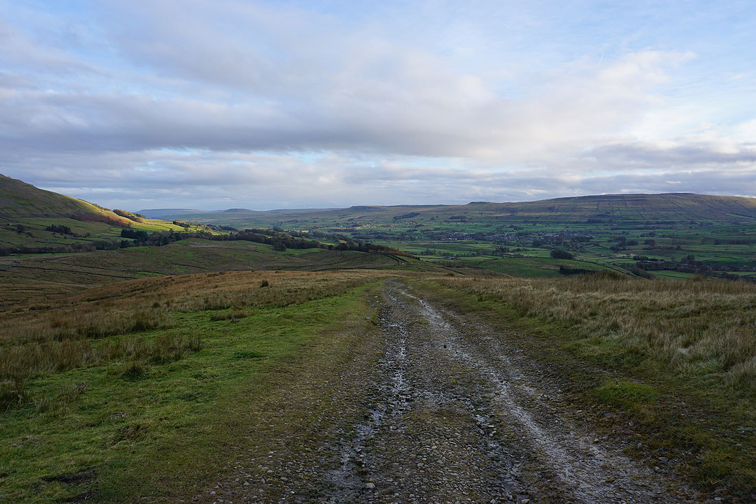
Following the Pennine Way onto the lower slopes of Great Shunner Fell..
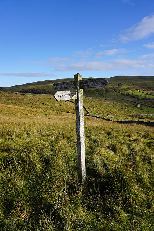
The bridleway to Pickersett Nab leaves the Pennine Way
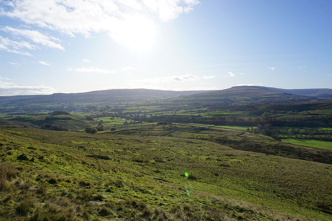
Looking across Wensleydale to Ten End, into Widdale and to Snaizeholme Fell, and the northern end of Widdale Fell
Yorburgh and Wether Fell above Hawes, and Ten End
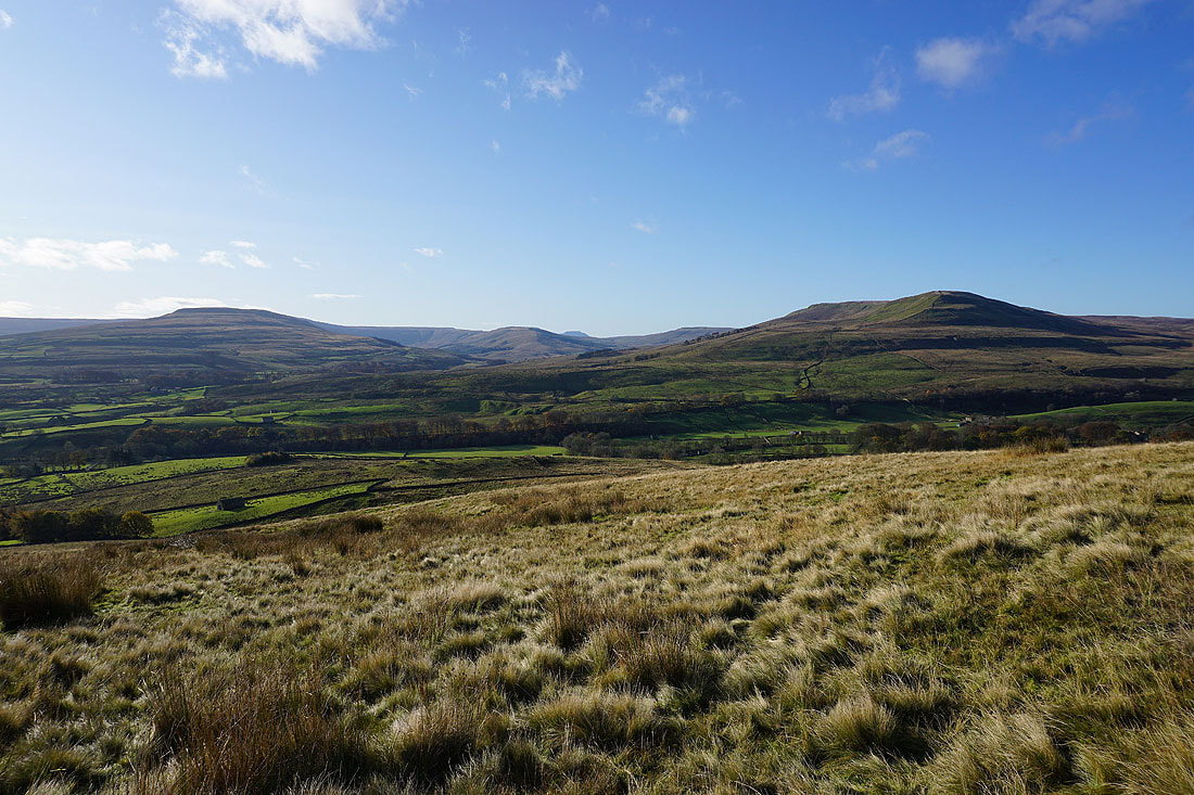
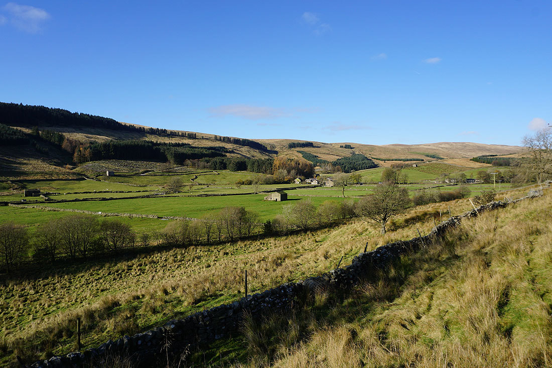
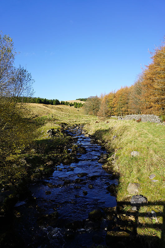
On the footpath into Cotter Dale with Baugh Fell in the distance beyond Garsdale Head and Cotter End on the right
The peace and quiet of secluded Cotter Dale...
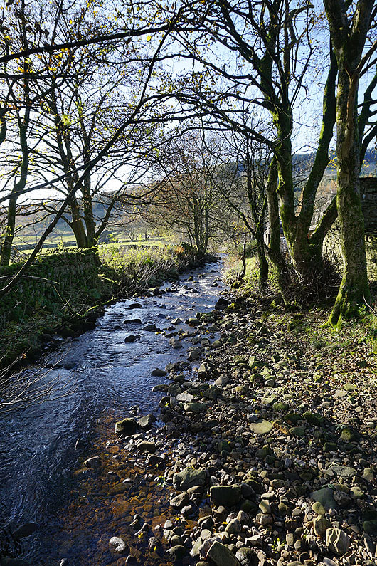
Crossing East Gill
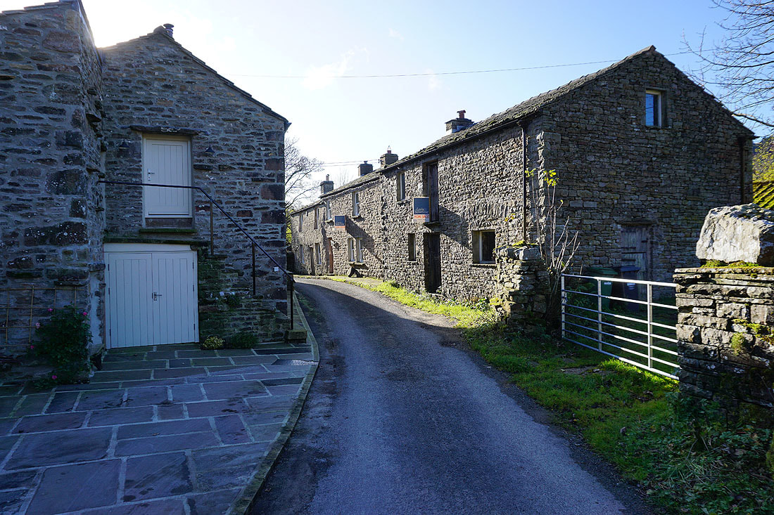
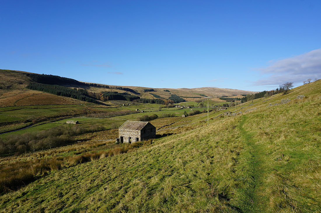
In the hamlet of Cotterdale
From Cotterdale the bridleway crosses East Gill via this bridge
East Gill from the bridge
|
|
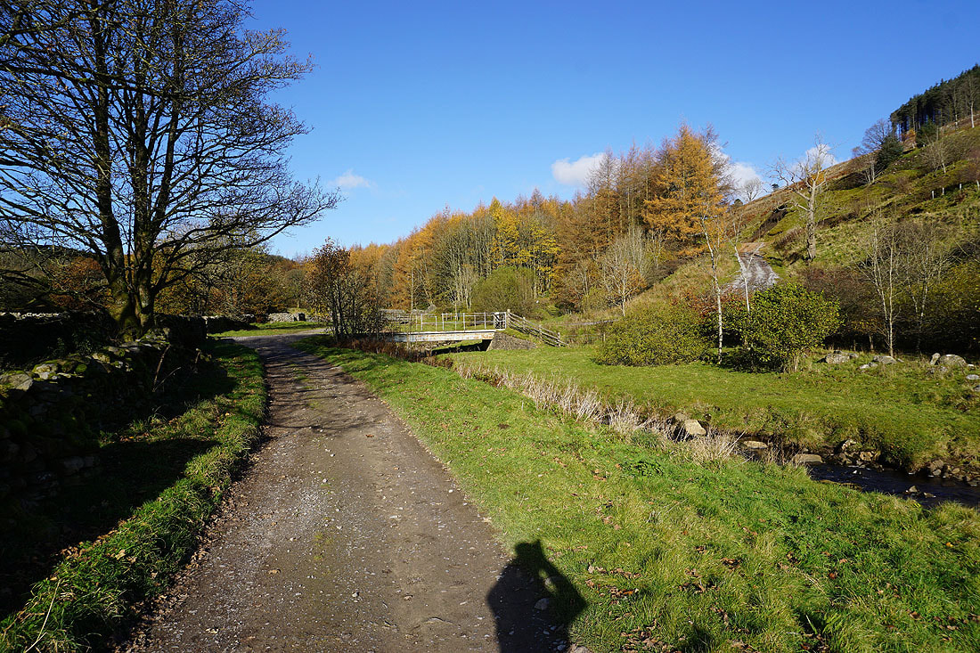
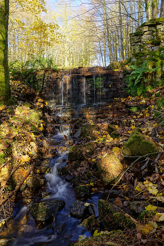
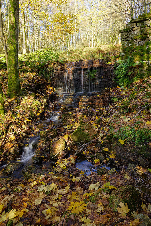
As it heads up into the conifer plantations the bridleway passes this little waterfall of a beck tumbling over a wall. I couldn't resist stopping to take a few photos.
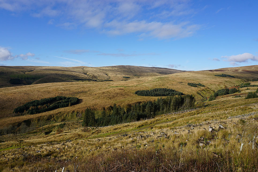
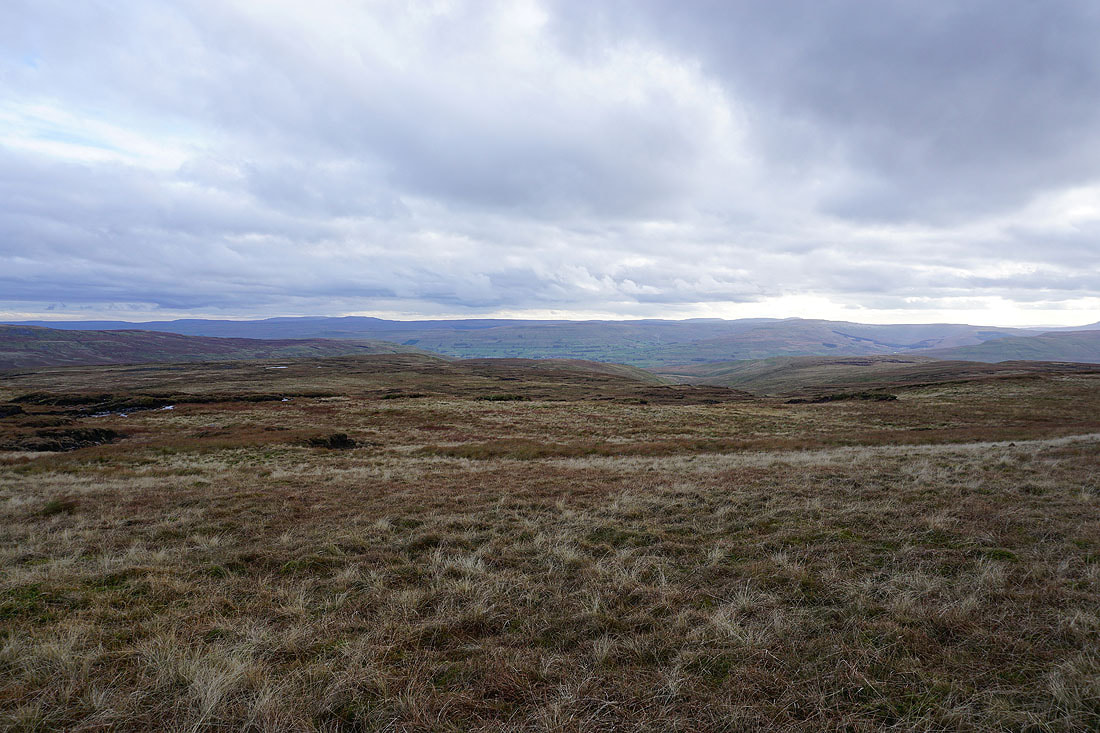
The fellsides of Abbotside Common and Cotterdale Common
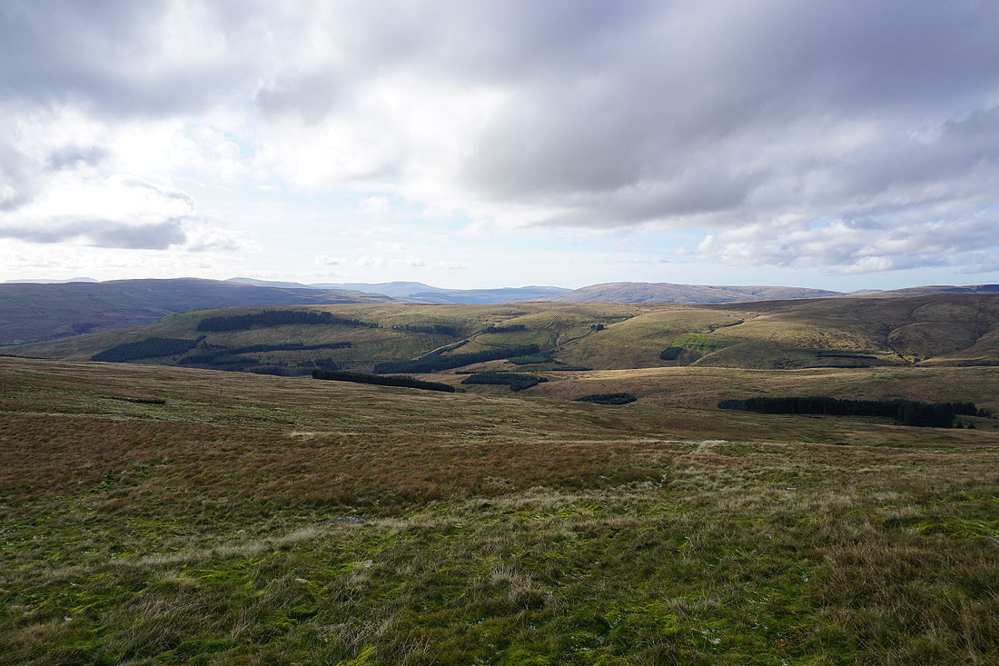
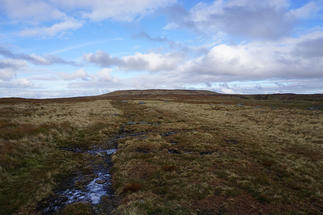
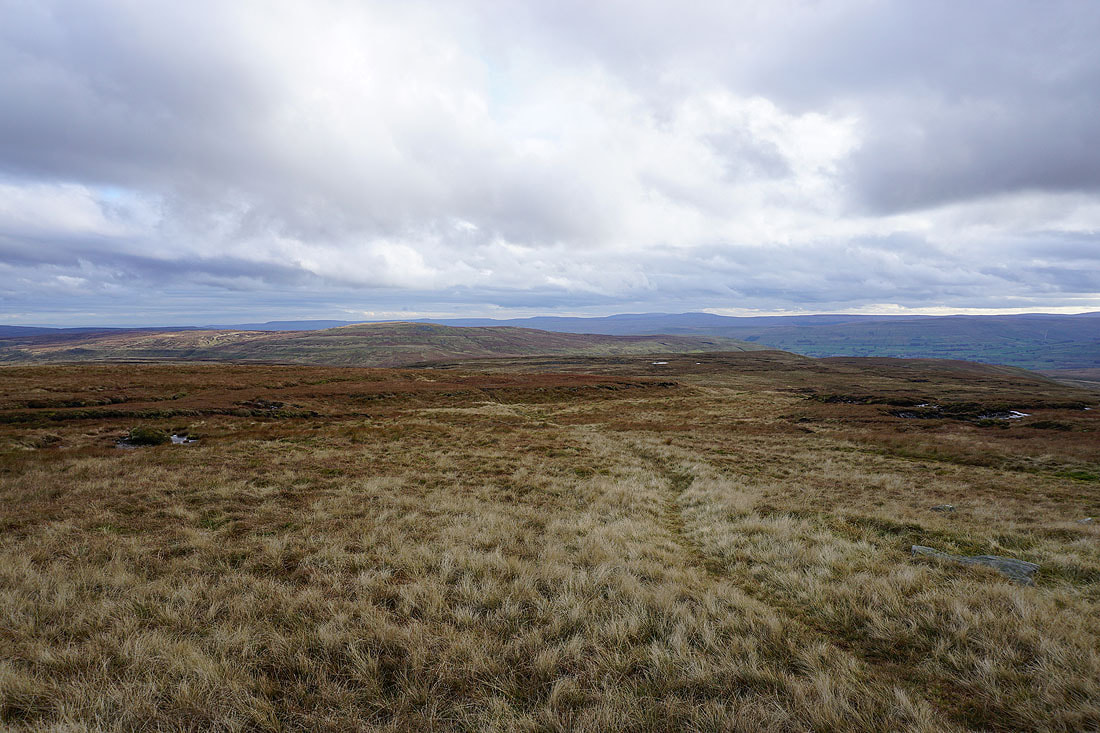
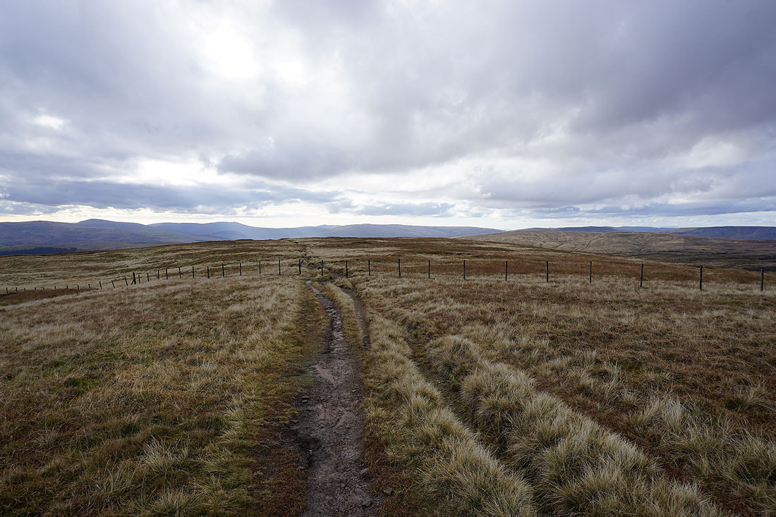
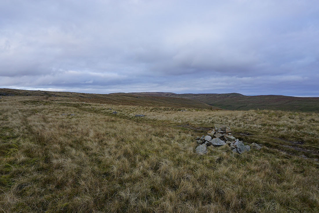
After a bit of a slog I've finally made it up onto the south ridge of Great Shunner Fell and back onto the Pennine Way. The view has opened up with Whernside, Great Coum and Baugh Fell in the distance to the southwest.
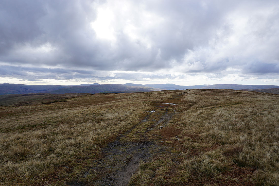
The summit of Great Shunner Fell ahead
Whernside, Great Coum and Baugh Fell in the distance
Looking back down the south ridge and across Wensleydale to Wether Fell, Dodd Fell Hill and Great Knoutberry Hill
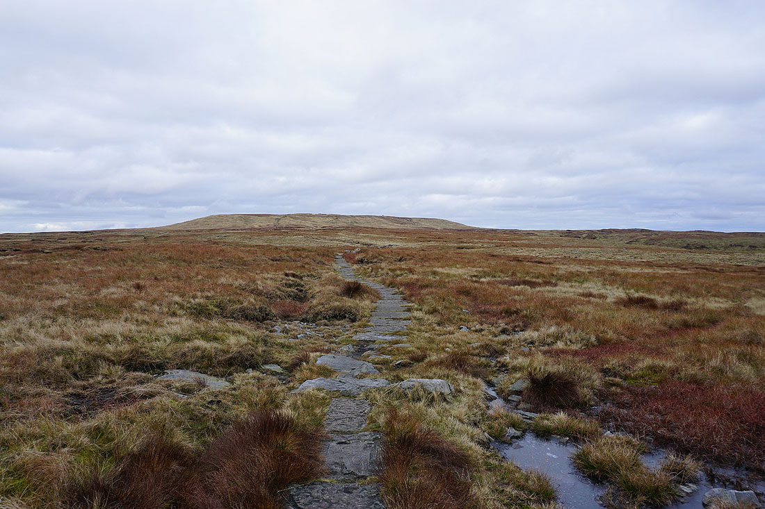
The flags make for easy going for the most part, but it's cold enough up here for the ground to be frozen and for ice to be watched out for
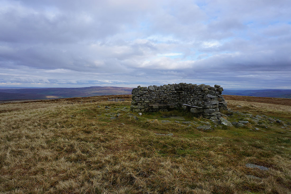
The summit shelter is a welcome sight. I'm definitely in need of a break and a sit down.
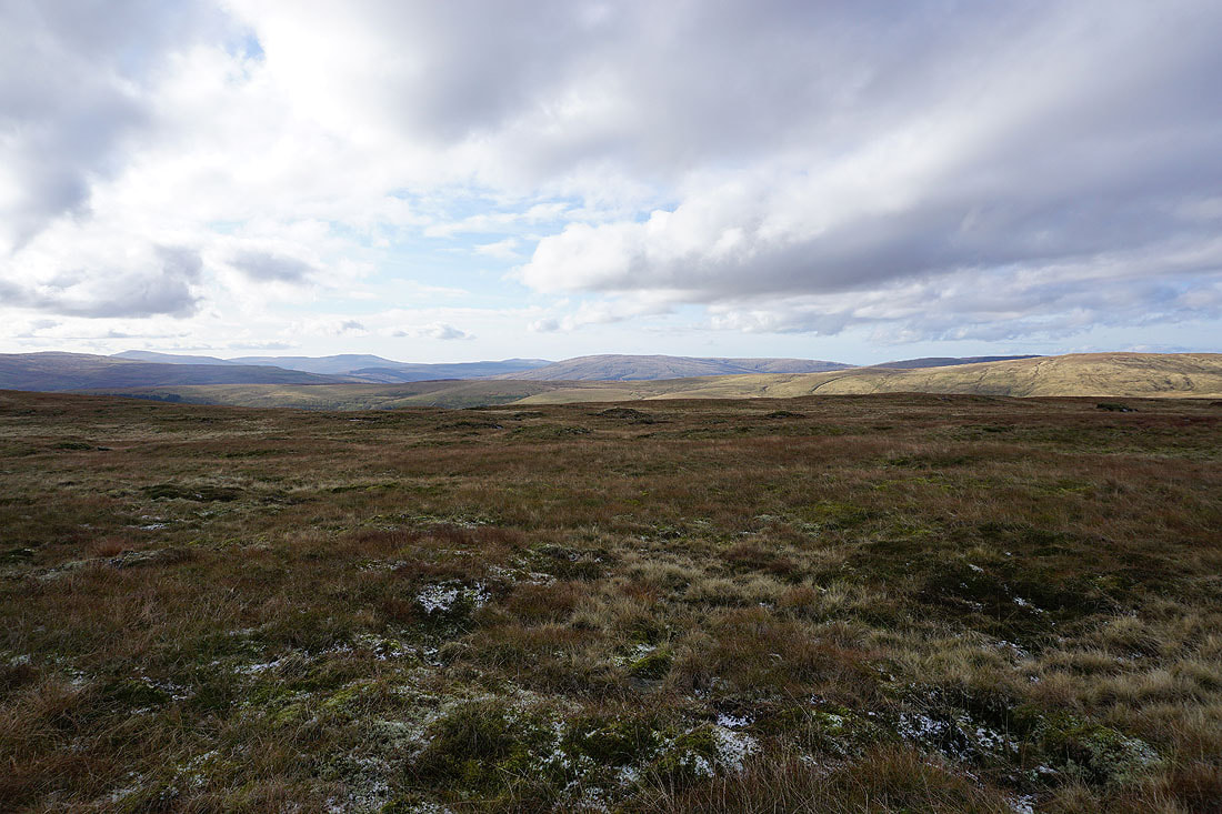
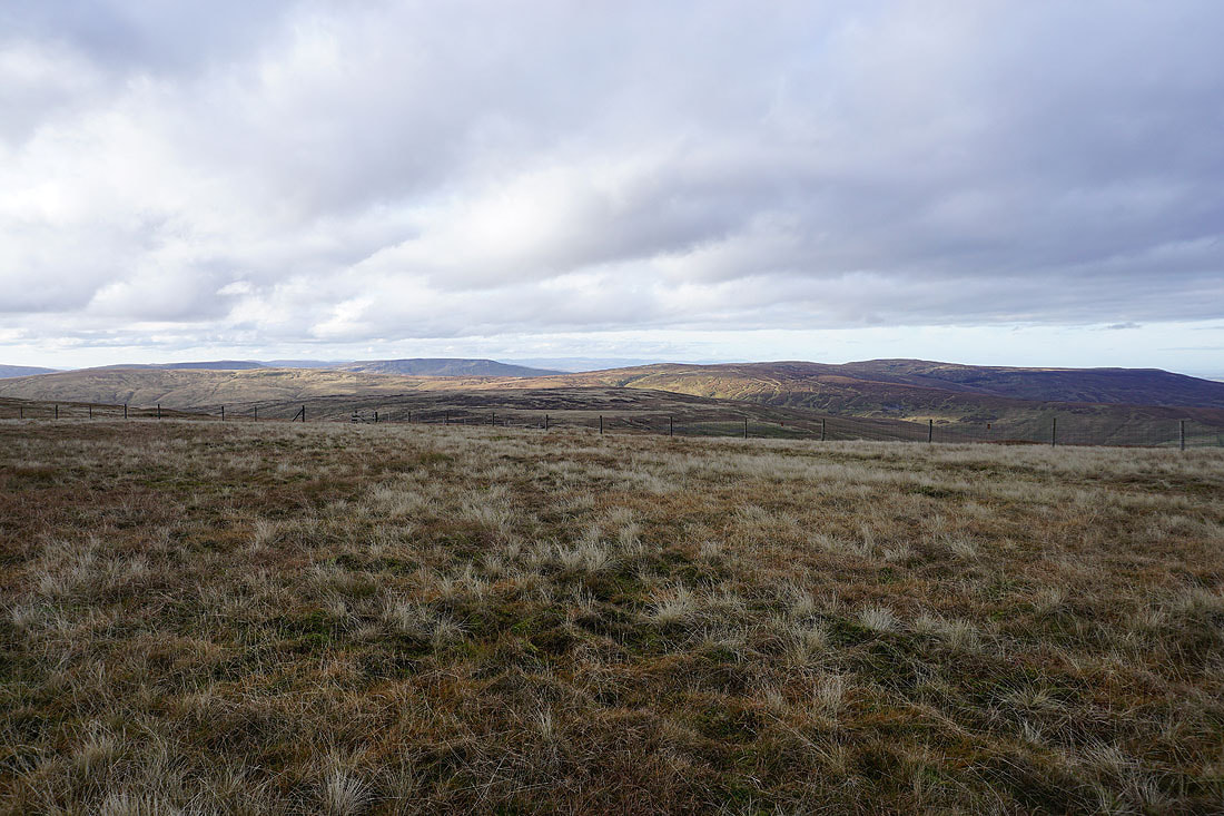
Great Shunner Fell is a great viewpoint but a bit more sunshine would be most welcome to help improve the look and feel of things. To the north is High Seat and Nine Standards Rigg with the North Pennines in the distance. The patch of water is Birkdale Tarn.
Looking east down Swaledale
Lovely Seat to the southeast on the other side of the Buttertubs pass
Looking south across Wensleydale to Wether Fell and Dodd Fell Hill
Ingleborough, Great Knoutberry Hill, Whernside and Great Coum in the distance
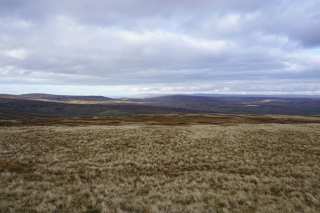
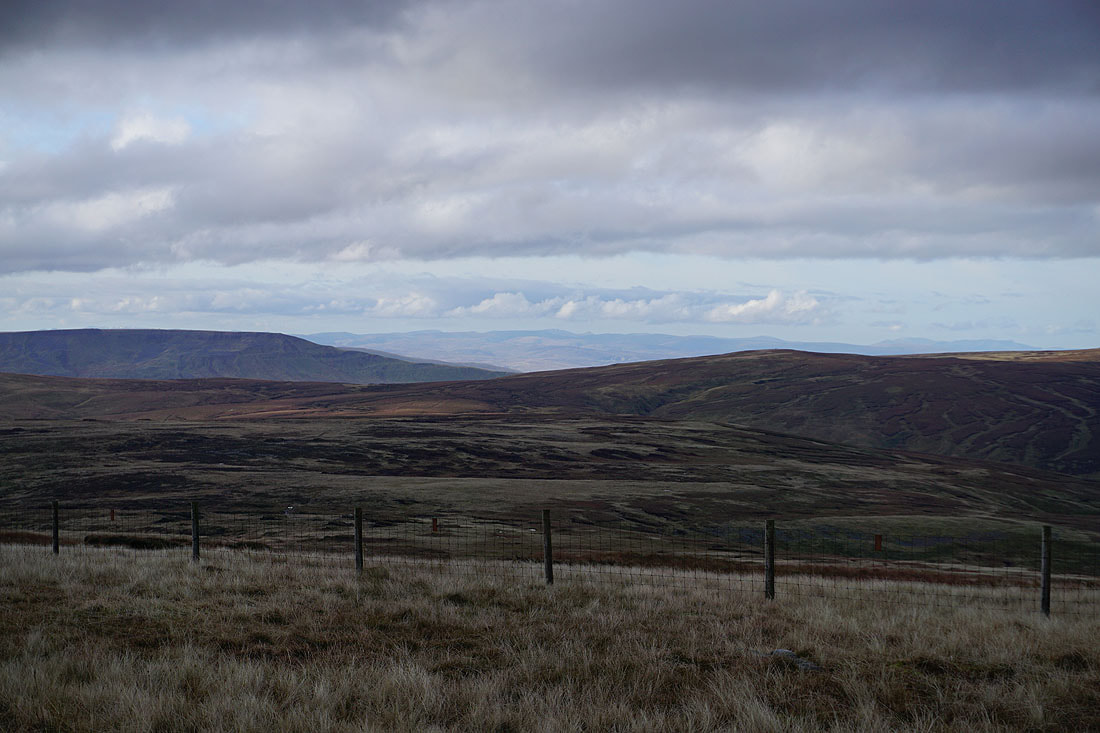
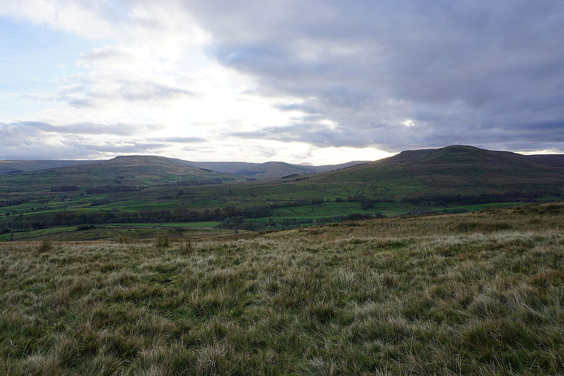
Lunds Fell, Wild Boar Fell and High Seat to the west
The Helvellyn range in the distance through the gap between Wild Boar Fell and High Seat
Whernside, Great Coum, Baugh Fell and Lunds Fell
Looking back to the summit..
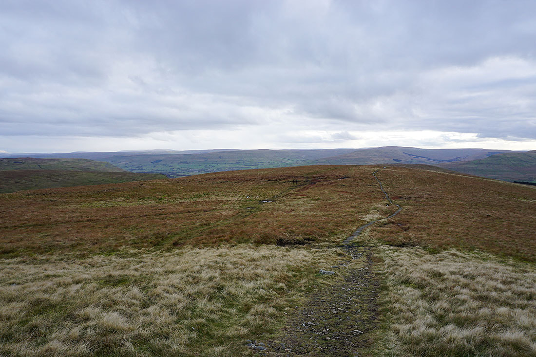
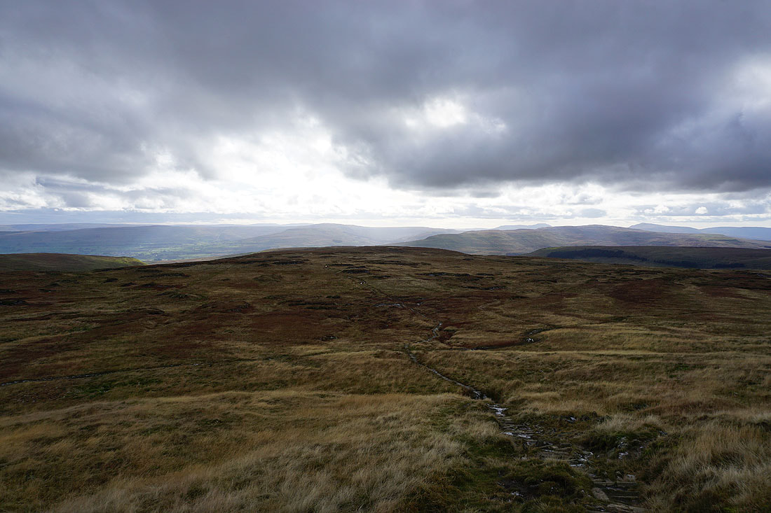
..as I head back down the south ridge on the Pennine Way
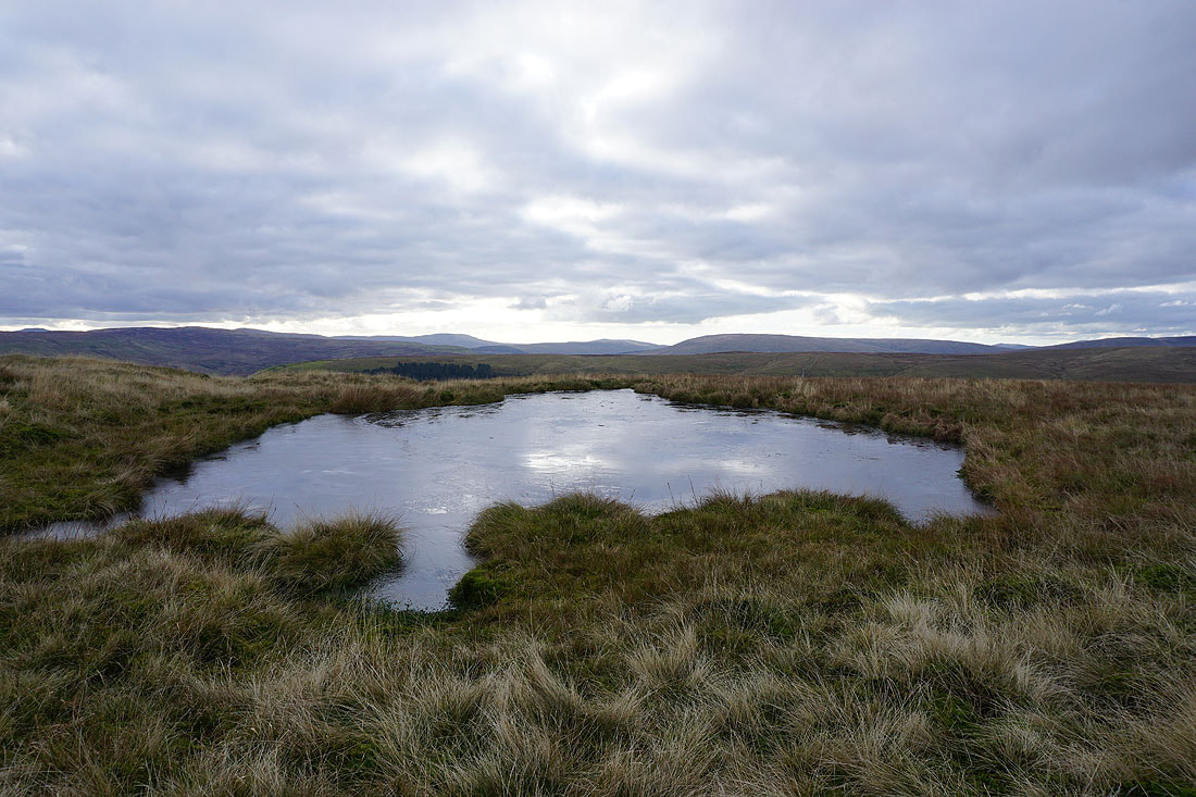
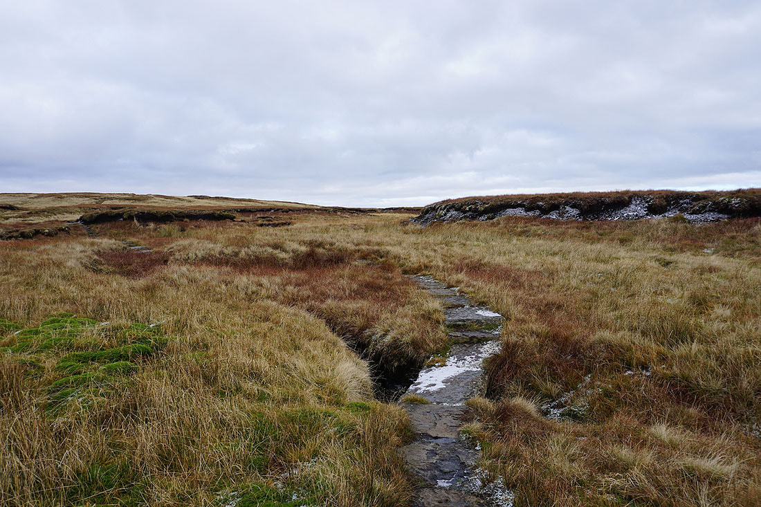
A frozen pool provides a subject for a photo
Another look back to the summit with Pickersett Nab on the right
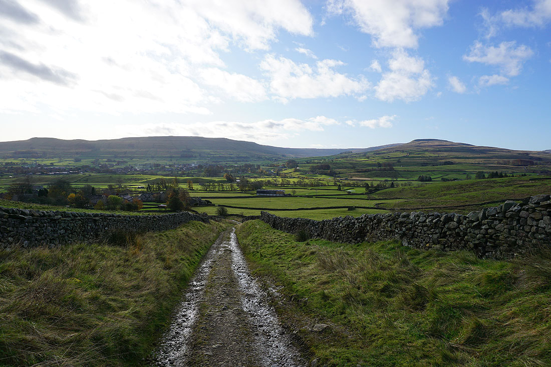
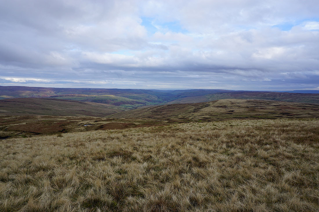
Following the Pennine Way down into Wensleydale..
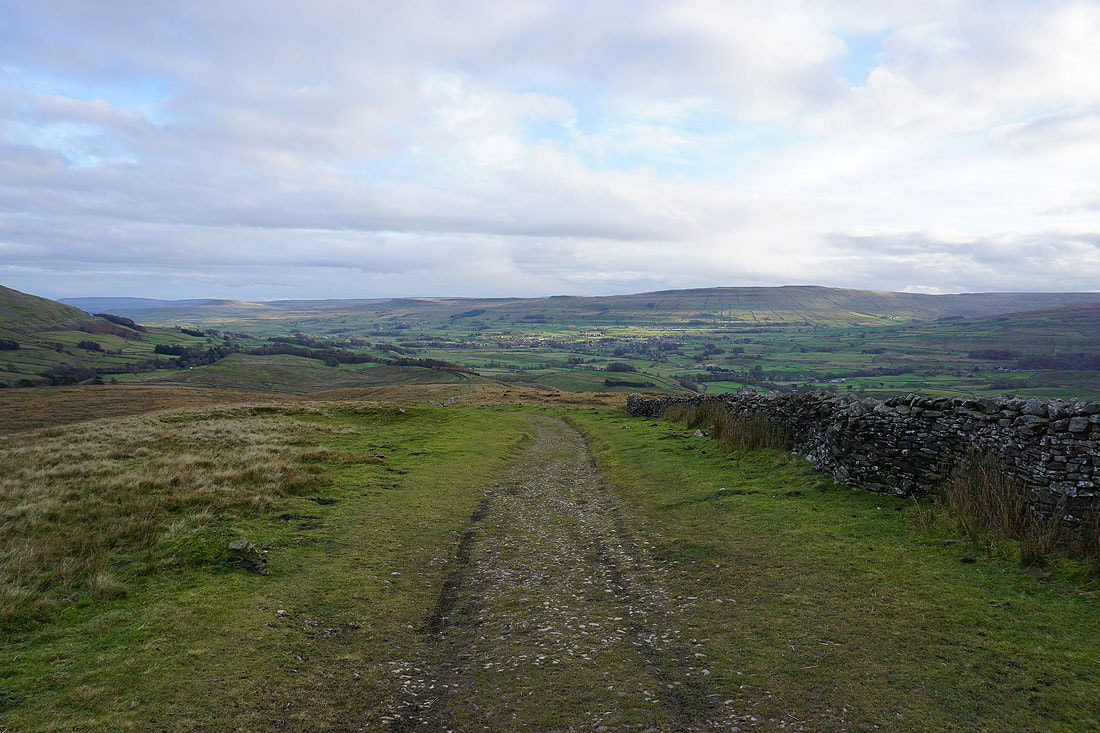
Ten End, Snaizeholme Fell and the northern end of Widdale Fell
Descending the Pennine Way to Hardraw..
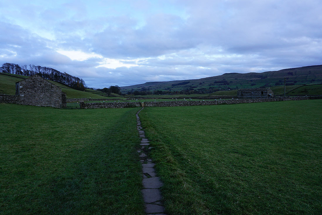
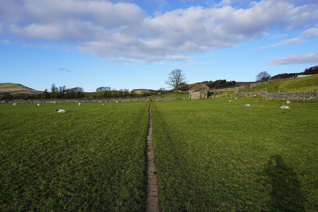
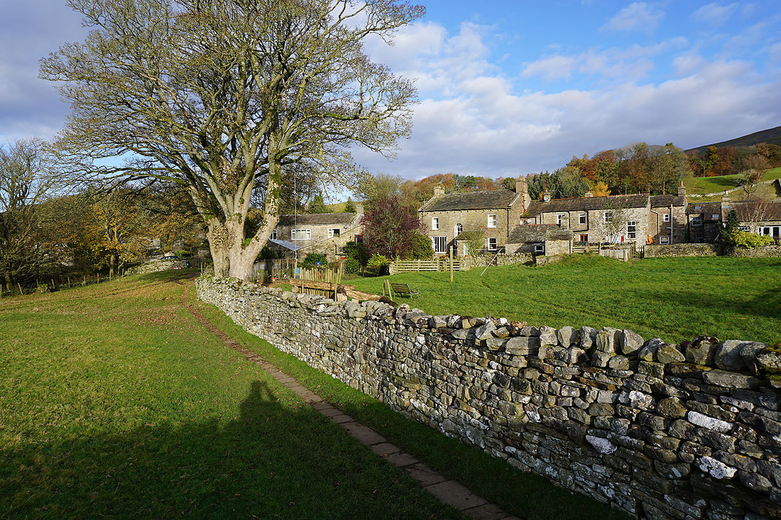
Following the path from Hardraw back to Hawes
Ten End above a bend in the Ure
On Brunt Acres Road to Haylands Bridge
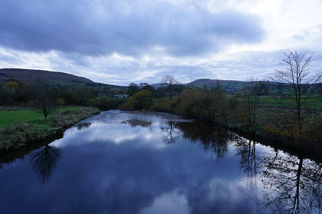
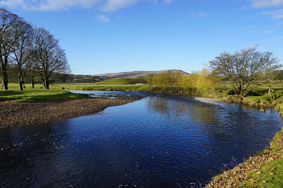
My view of the Ure from Haylands Bridge looks completely different from that of this morning
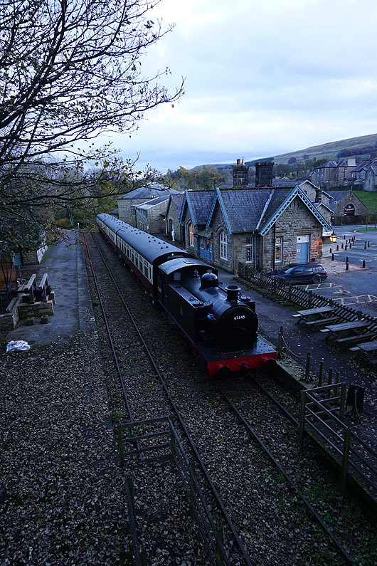
Back in Hawes and at the Dales Countryside Museum