10th October 2010 - Shining Tor
Walk Details
Distance walked: 11.0 miles
Total ascent: 2254 ft
OS map used: OL24 - The Peak District, White Peak area
Time taken: 6 hrs
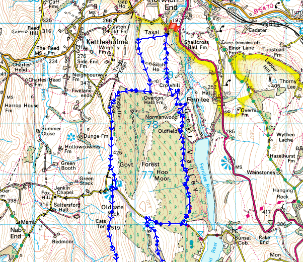
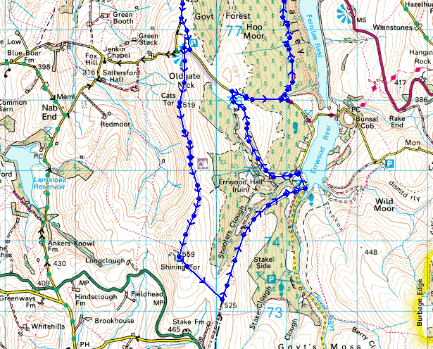
Route description: Taxal-Taxal Moor Road-Windgather Rocks-Cats Tor-Shining Tor-Shooters Clough-Errwood Reservoir-Foxlow Edge-The Street-Midshires Way-Taxal
I parked in Taxal and made my way up to Taxal Moor Road and Taxal Edge to Windgather Rocks. From there I walked over to Cats Tor then Shining Tor. From Shining Tor I followed a path down to Errwood Reservoir then to Foxlow Edge. From Foxlow Edge I walked down The Street then used the Midshires Way path down the Goyt Valley back to Taxal.
Route map
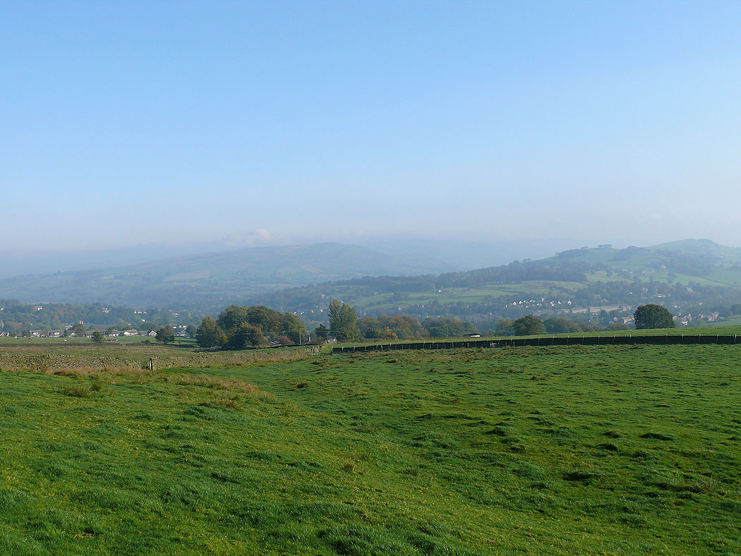
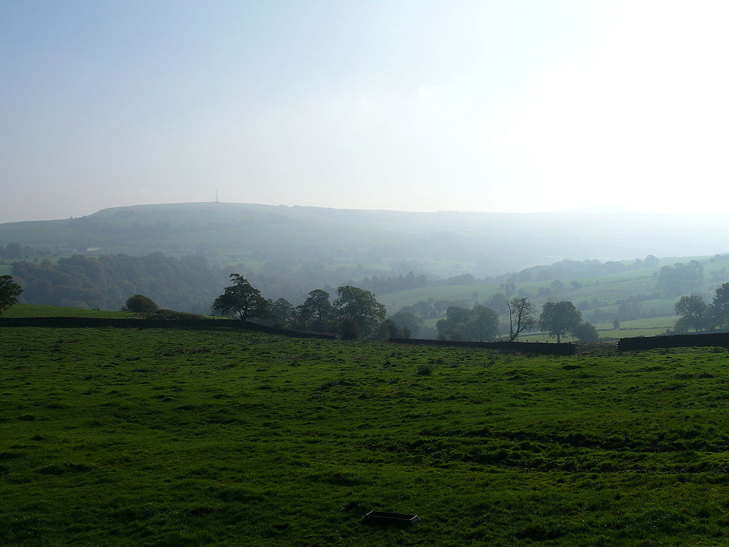
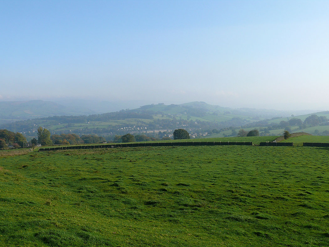
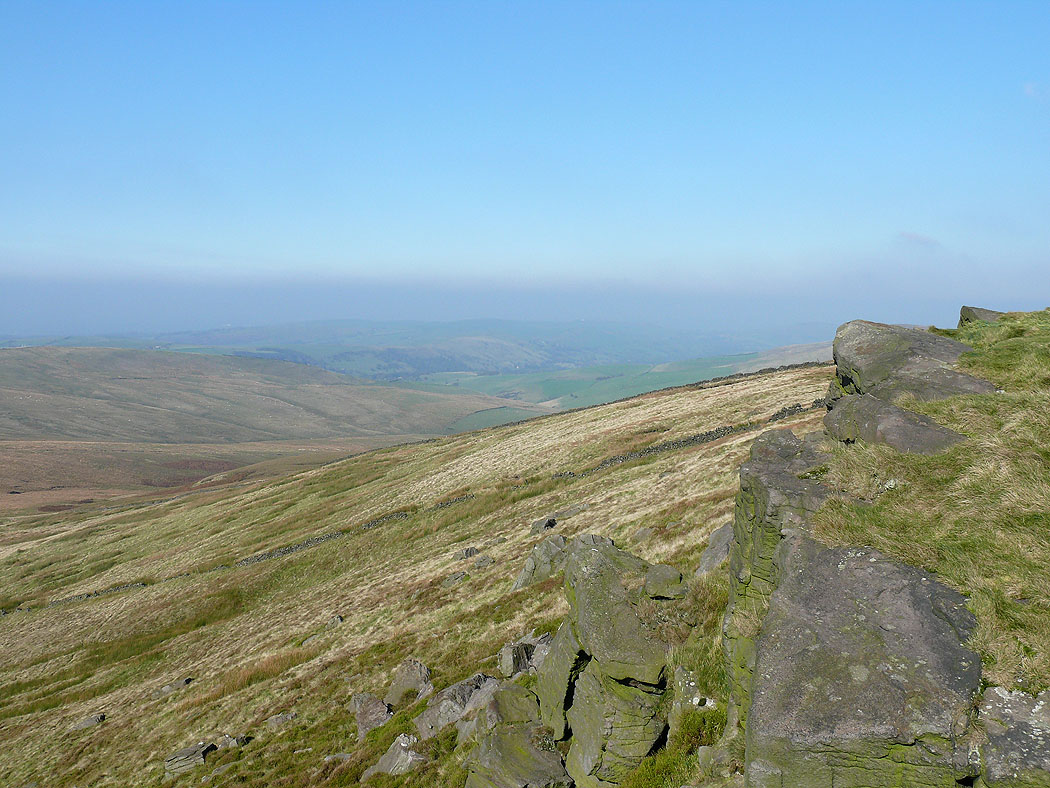
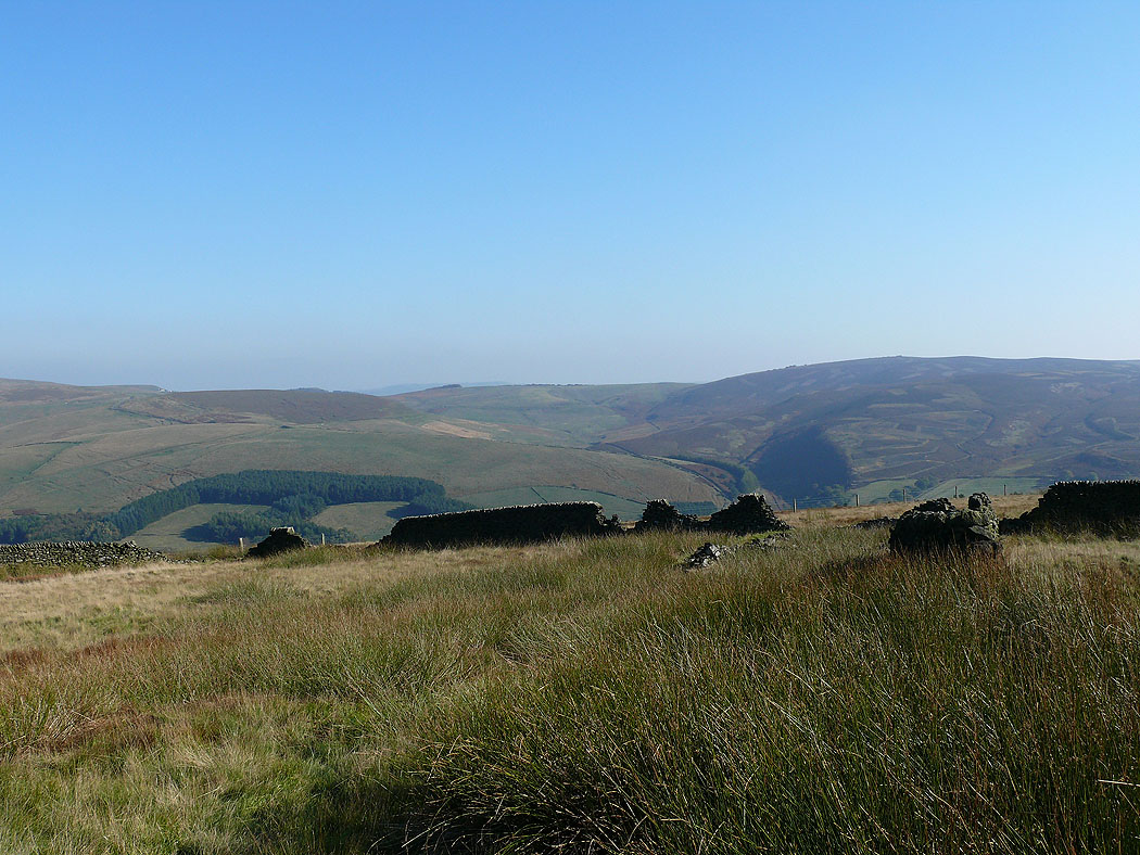
Views of the Vale of Goyt from Taxal Moor Road...
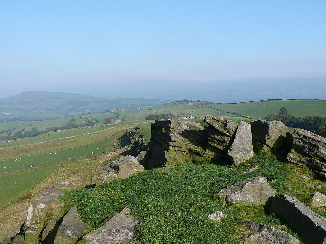
On Windgather Rocks
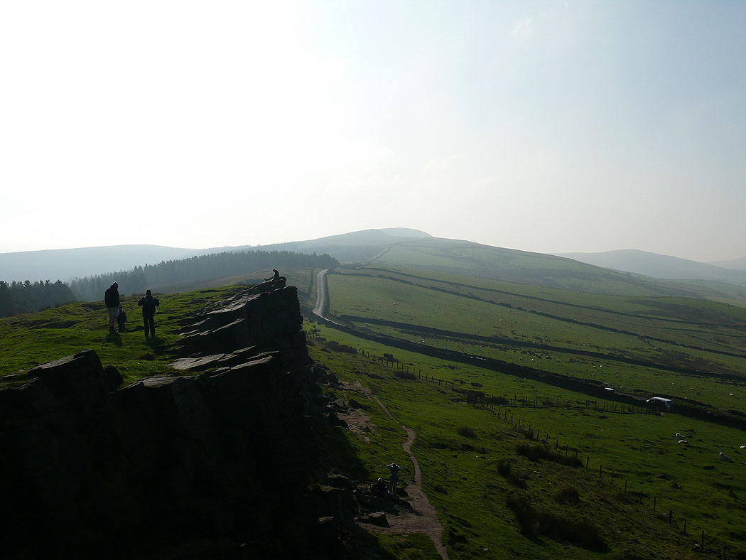
The view from Windgather Rocks to Cats Tor and Shining Tor
Windgather Rocks
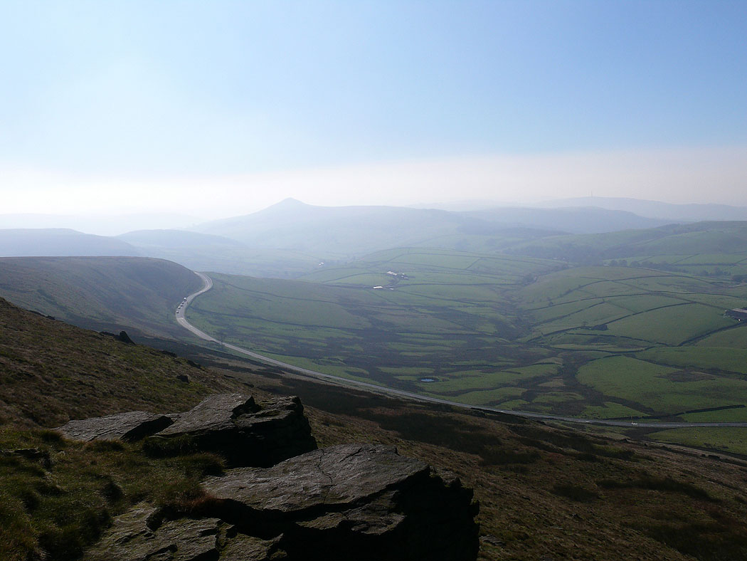
Shutlingsloe from Shining Tor. The road below goes over the Cat and Fiddle.
On Shining Tor
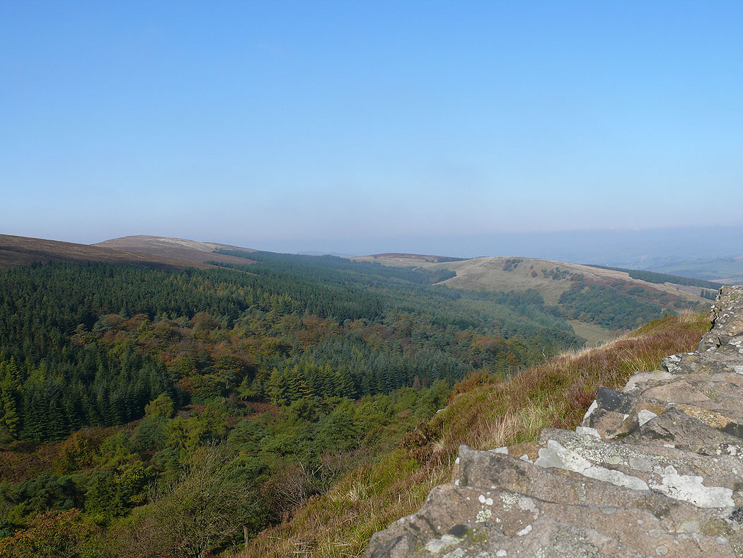
A view down into Shooters Clough
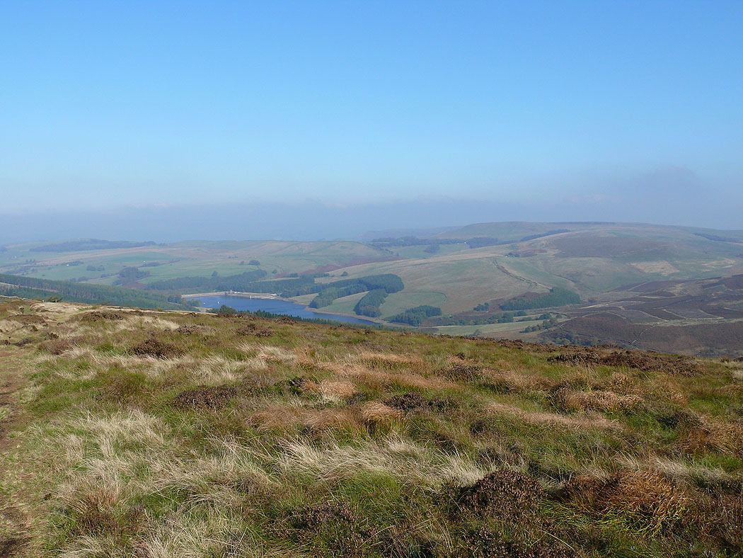
Errwood Reservoir
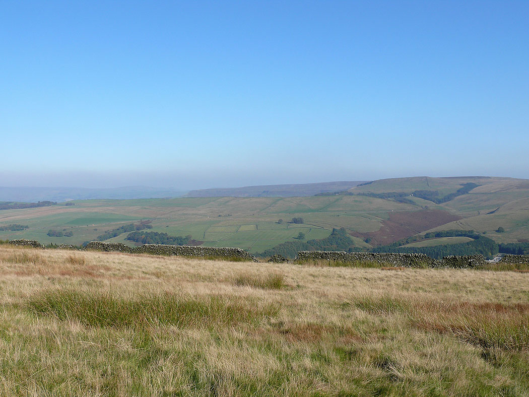
On Foxlow Edge..
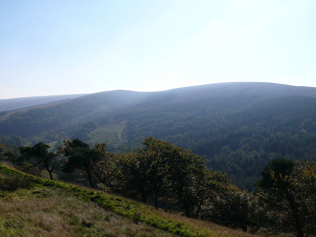
Looking up to Shining Tor from Foxlow Edge
