10th October 2013 - Ingleton Falls
Walk Details
Distance walked: 6.2 miles
Total ascent: 1509 ft
OS map used: OL2 - Yorkshire Dales, Southern & Western areas
Time taken: 5.5 hrs
Route description: Ingleton-Ingleton Waterfalls Trail-Ravenray Bridge-Cheese Press Stone-Tow Scar-Twisleton Hall-Oddie's Lane-Ingleton Waterfalls Trail-Ingleton
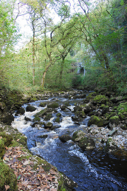
This was the first time that I'd walked the Ingleton Waterfalls Trail and I enjoyed every step. There's fantastic scenery to see round every corner as you walk up the valley of the River Twiss and down that of the River Doe. I deliberately went on a weekday so that it was quiet.
The trail is on private land and in many places has been constructed and has to be maintained so a fee is charged for access. Current prices are as follows:
Adult ticket (16 and over) £6
Child ticket (under 16) £3
Family ticket (2 adults and up to 3 children) £14
From the trail car park I followed the path up Swilla Glen to the bridleway under Twisleton Scar End. I then did the there and back visit to Tow Scar before returning to the bridleway to pass Twisleton Hall and follow the second half of the trail back to Ingleton.
Total ascent: 1509 ft
OS map used: OL2 - Yorkshire Dales, Southern & Western areas
Time taken: 5.5 hrs
Route description: Ingleton-Ingleton Waterfalls Trail-Ravenray Bridge-Cheese Press Stone-Tow Scar-Twisleton Hall-Oddie's Lane-Ingleton Waterfalls Trail-Ingleton
This was the first time that I'd walked the Ingleton Waterfalls Trail and I enjoyed every step. There's fantastic scenery to see round every corner as you walk up the valley of the River Twiss and down that of the River Doe. I deliberately went on a weekday so that it was quiet.
The trail is on private land and in many places has been constructed and has to be maintained so a fee is charged for access. Current prices are as follows:
Adult ticket (16 and over) £6
Child ticket (under 16) £3
Family ticket (2 adults and up to 3 children) £14
From the trail car park I followed the path up Swilla Glen to the bridleway under Twisleton Scar End. I then did the there and back visit to Tow Scar before returning to the bridleway to pass Twisleton Hall and follow the second half of the trail back to Ingleton.
Route map
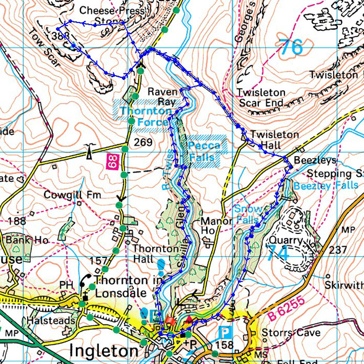
© Crown copyright. All rights reserved. License number PU 100034184.
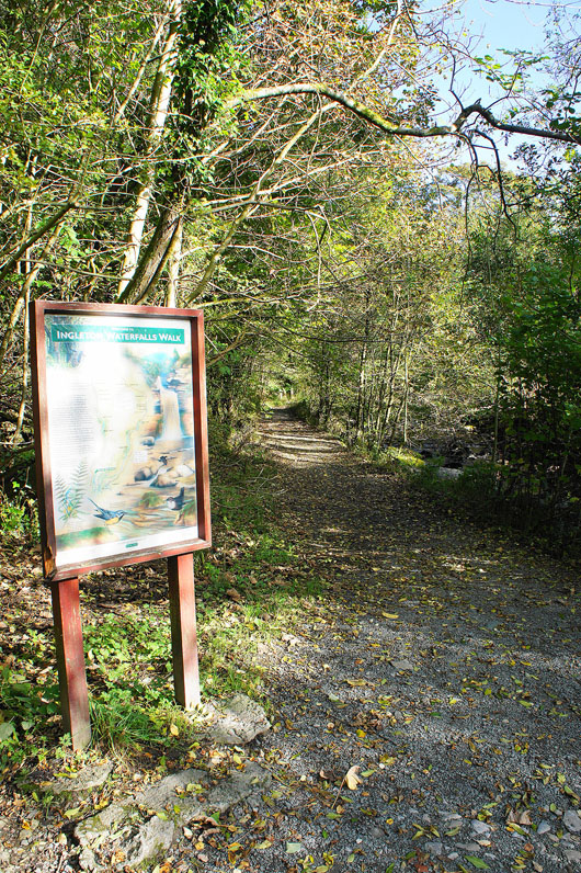
At the start of the trail
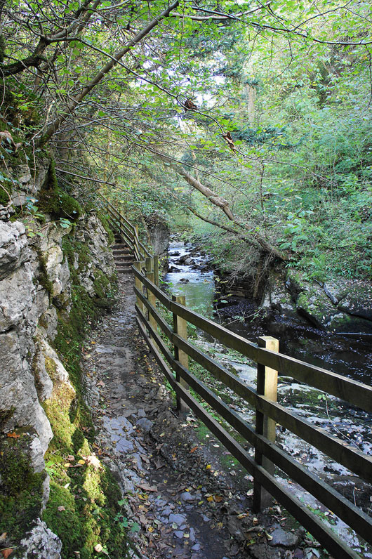
Heading up Swilla Glen..
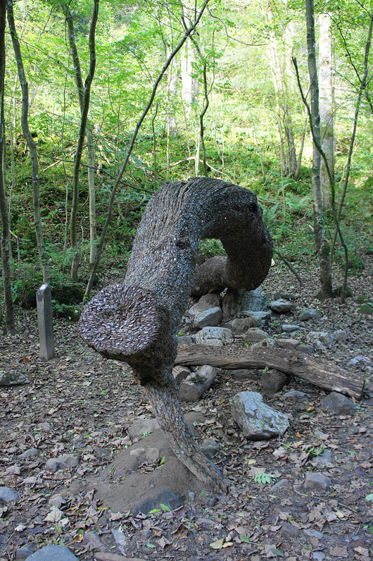
The Money Tree. Damn, I didn't bring any pliers with me.
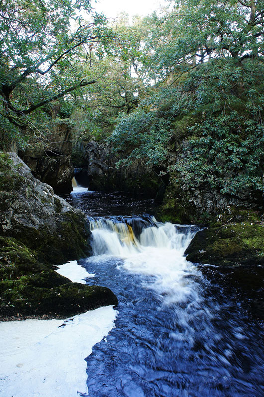
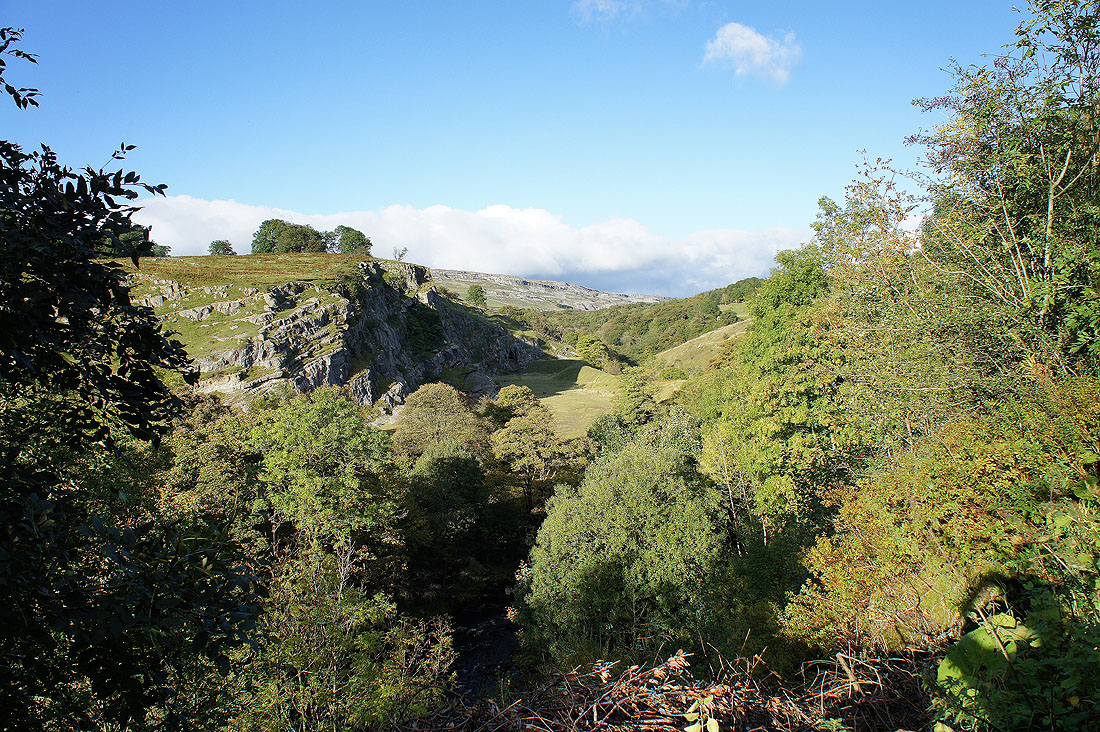
As I cross Pecca Bridge the first Pecca Falls can be seen
First Pecca Falls
A little further upstream are the Pecca Twin Falls
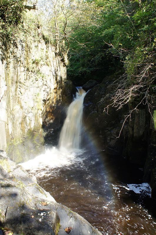
Then Hollybush Spout
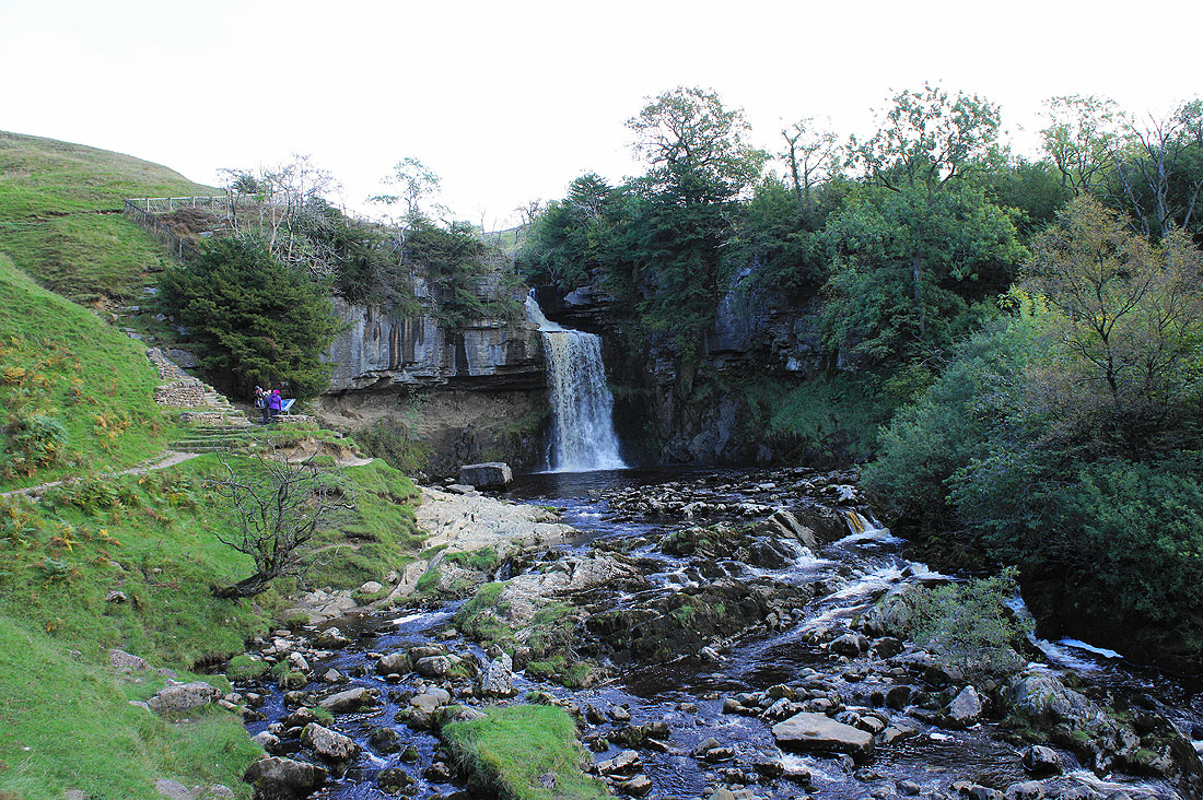
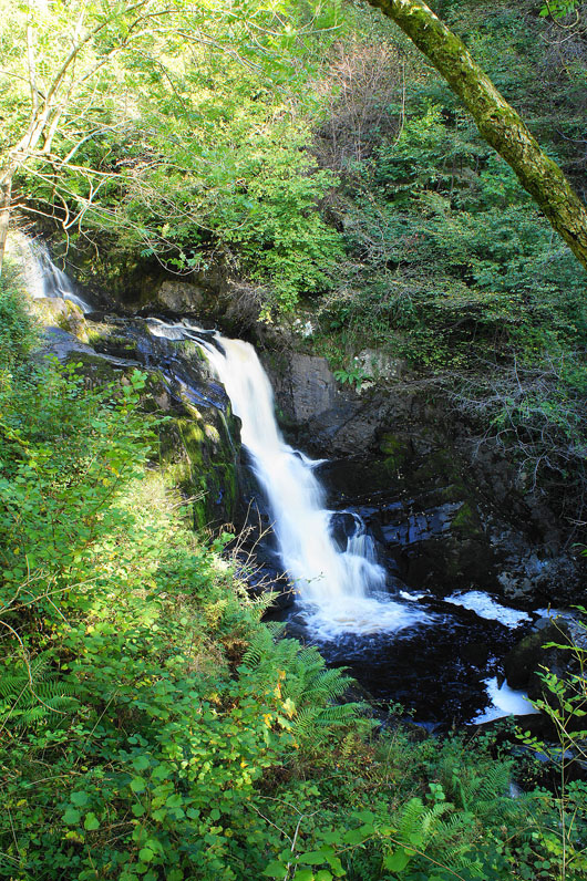
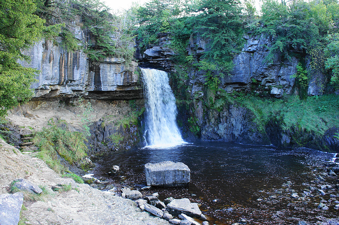
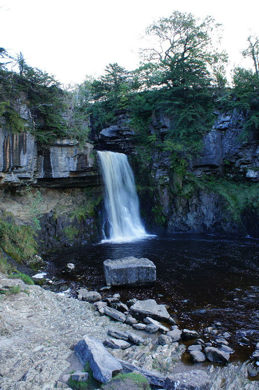
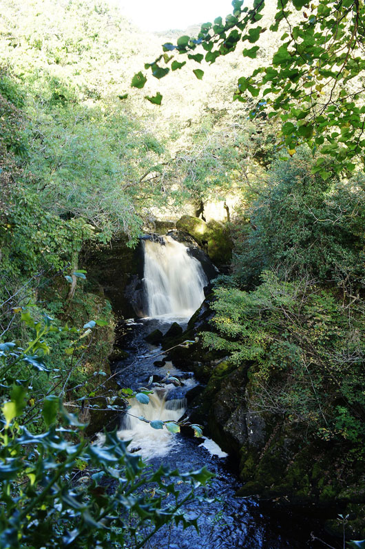
The highest and largest fall on the River Twiss is Thornton Force..
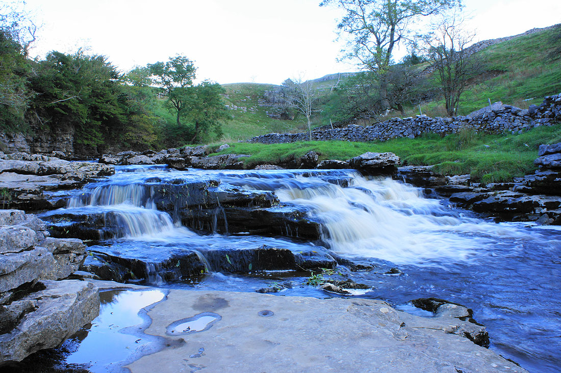
The river cascades over limestone above the falls
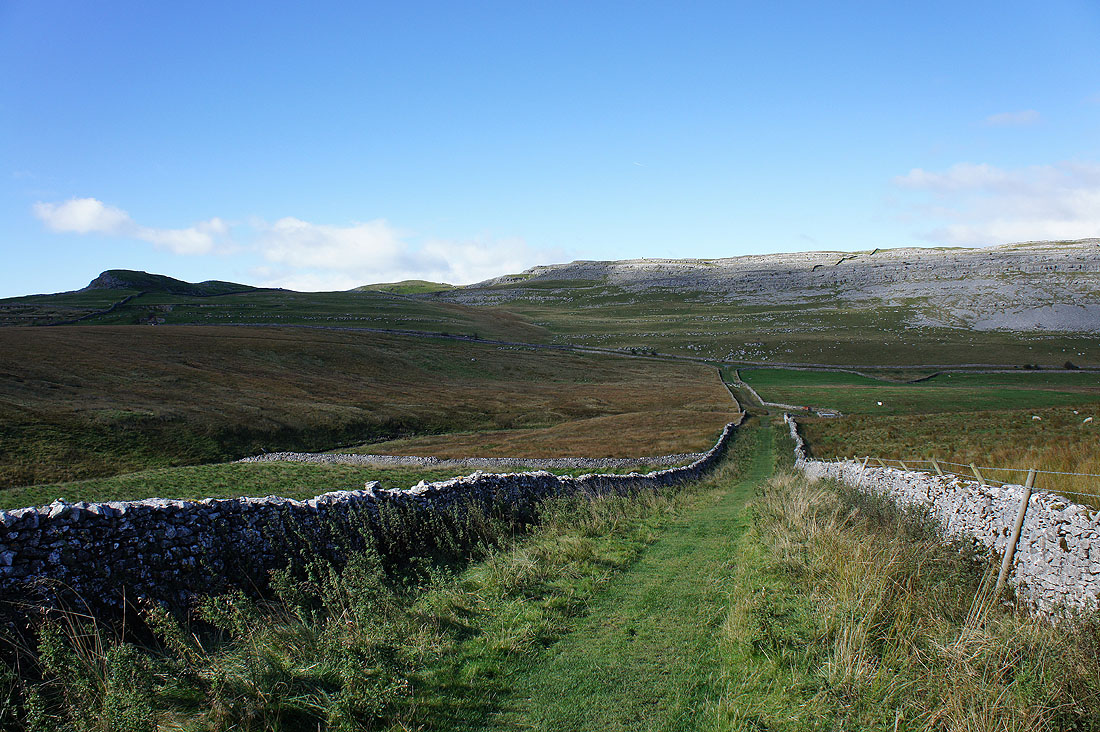
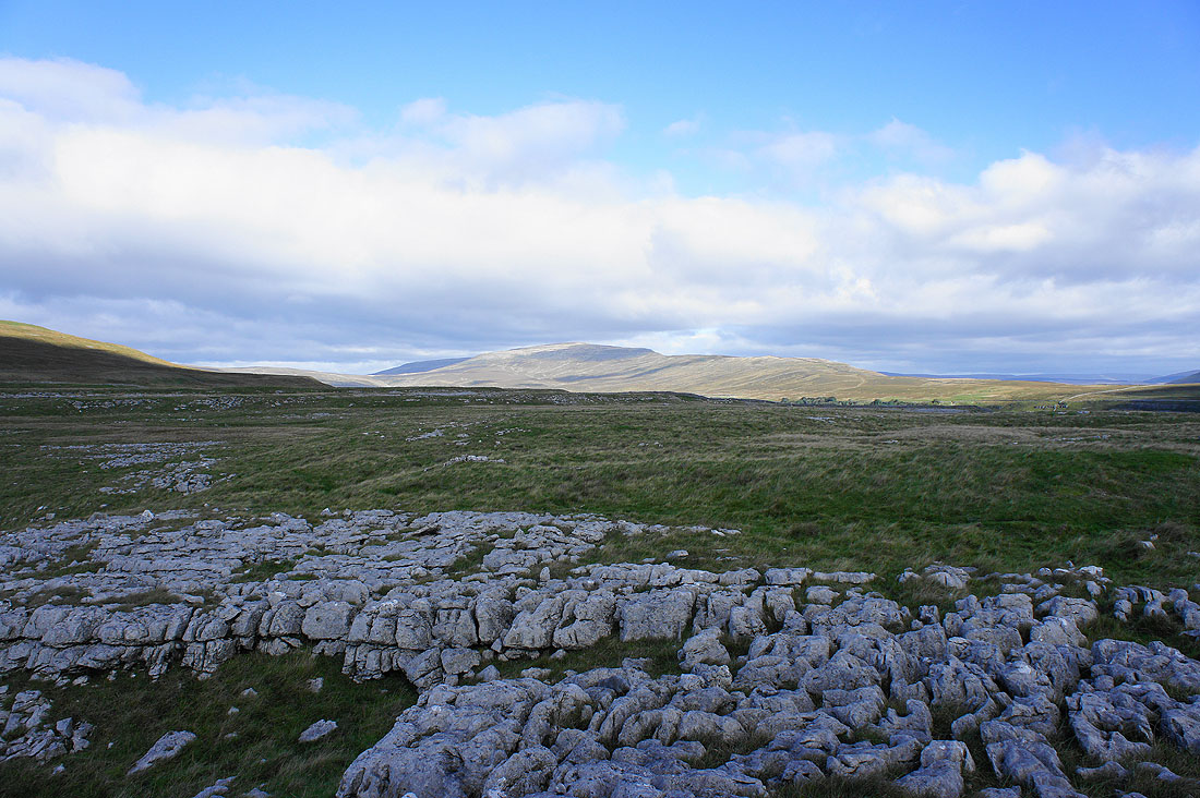
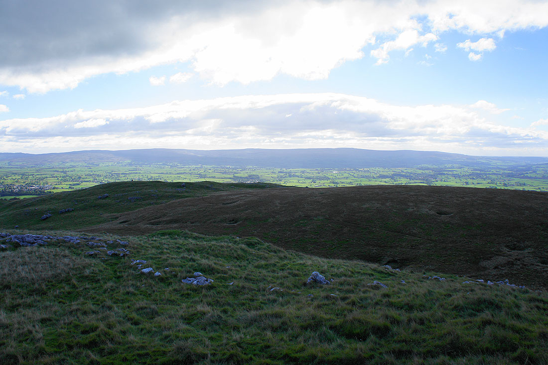
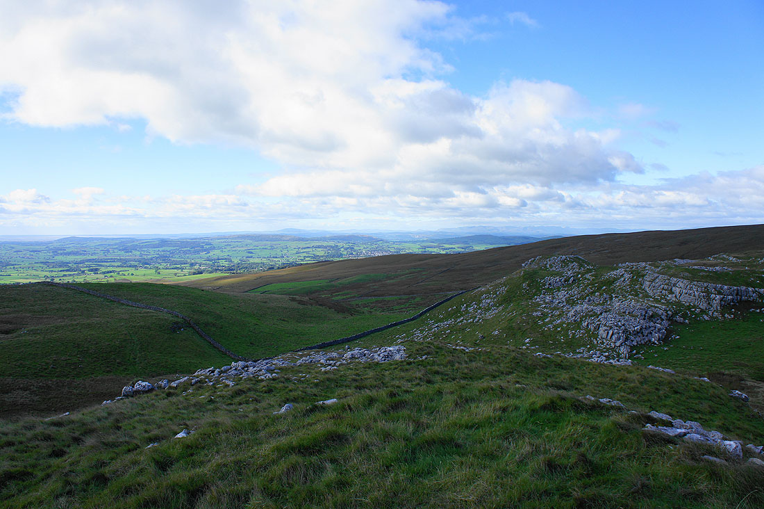
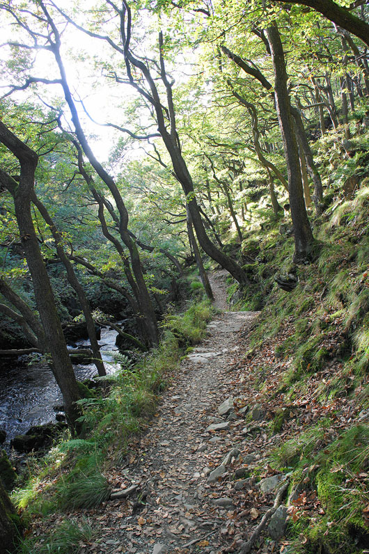
On the bridleway to Tow Scar
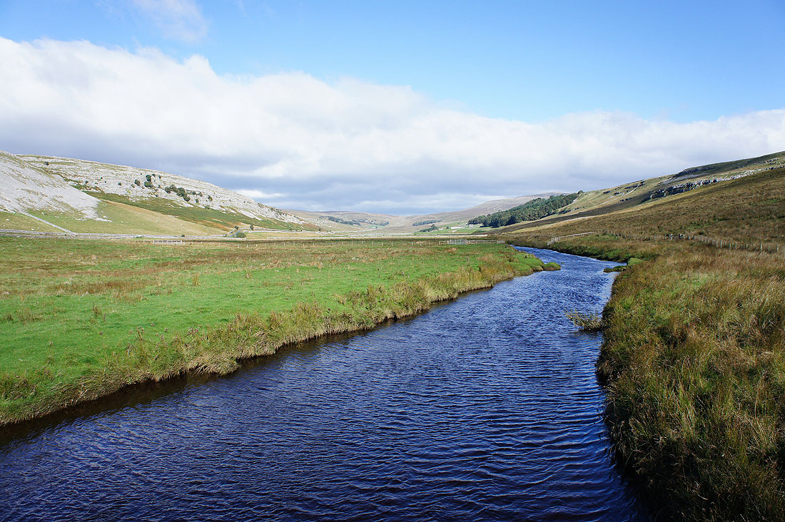
Kingsdale from the bridge over Kingsdale Beck
Whernside on the other side of Kingsdale
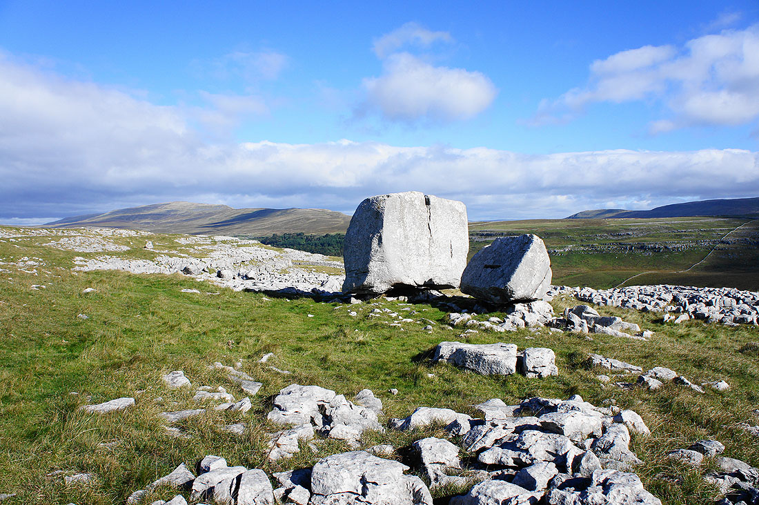
The Cheese Press Stone. When I was last in this neck of the woods 18 months ago I somehow managed to miss it. I don't know how, there's nothing else like it around.
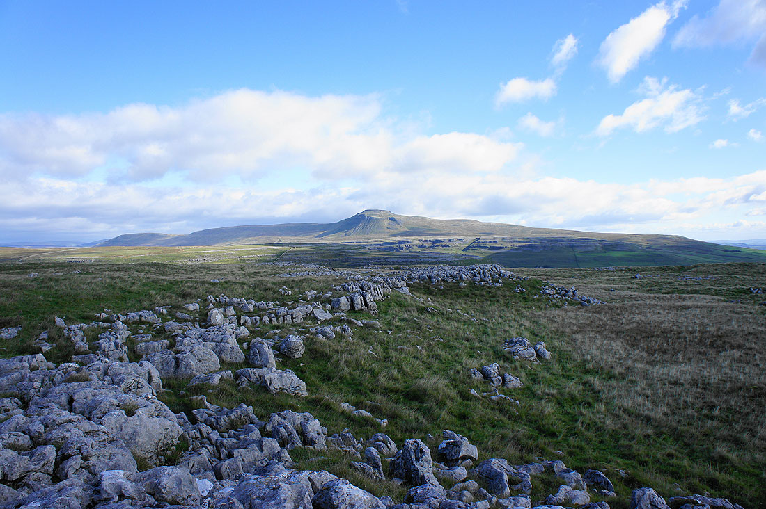
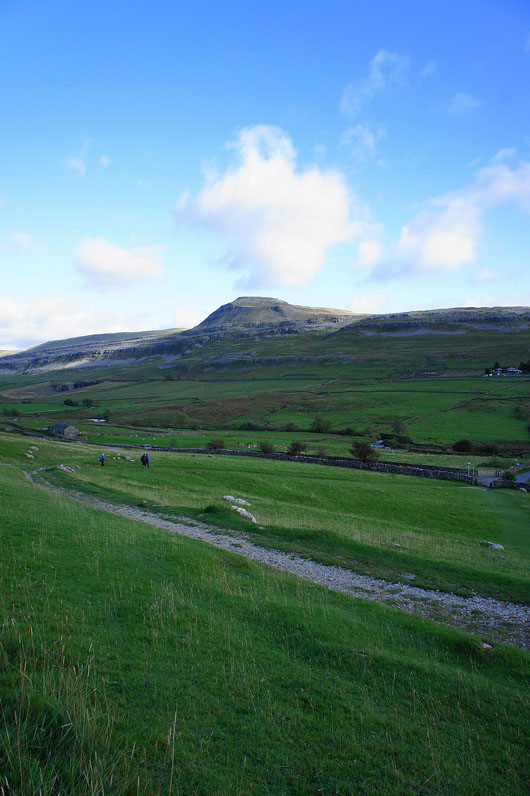
Ingleborough from Tow Scar
and Whernside
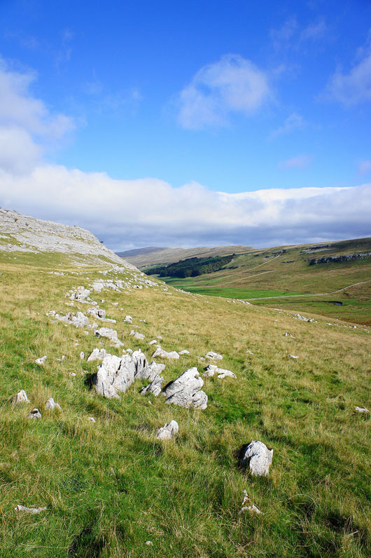
The Forest of Bowland in the distance
The high point on the right is Ward's Stone
There's great visibility today so it was really easy to make out Morecambe Bay and the Lake District fells
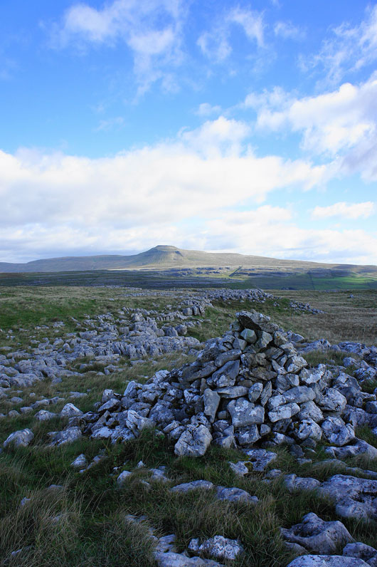
Another shot of Ingleborough from the cairn
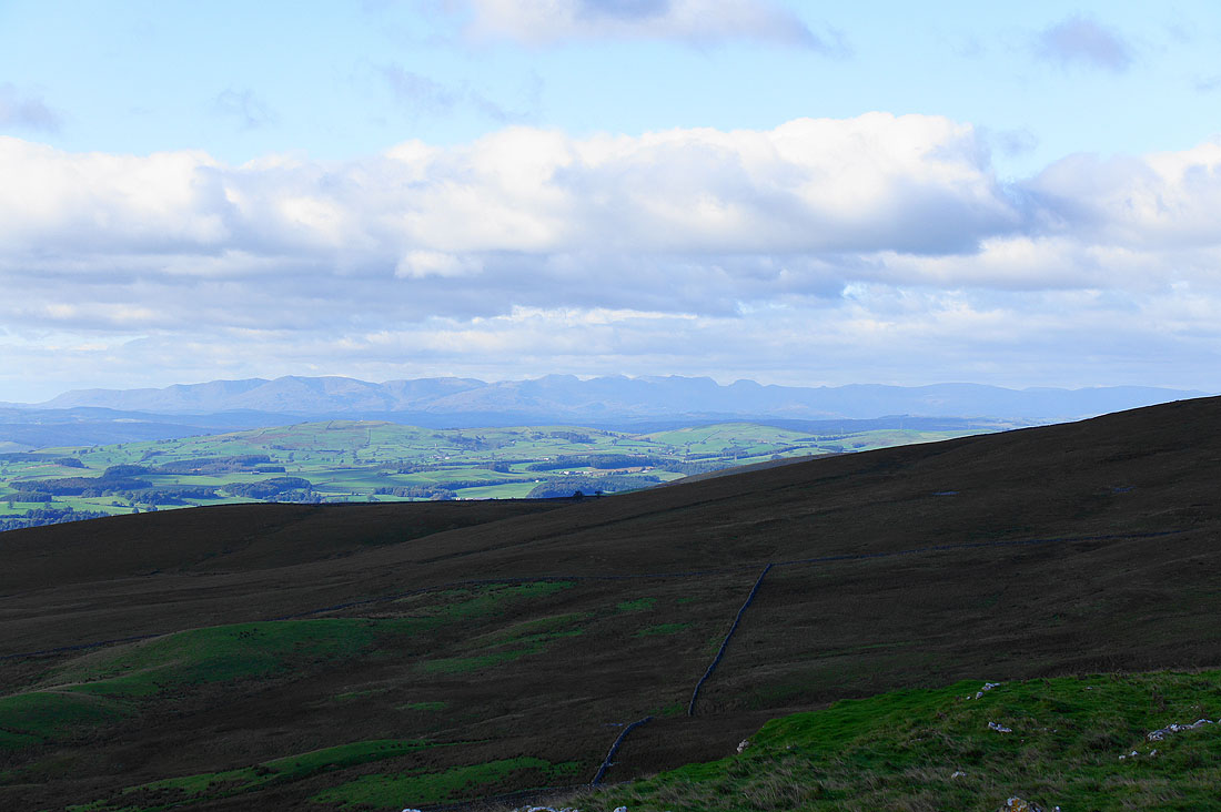
I've dropped down the hillside a little for a better view for a close up of the Lake District fells
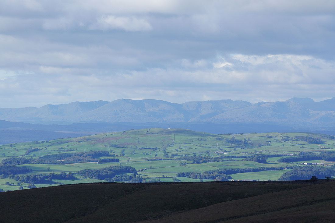
A change of lens lets me zoom right in on Dow Crag, Old Man of Coniston, Brim Fell, Swirl How and Wetherlam
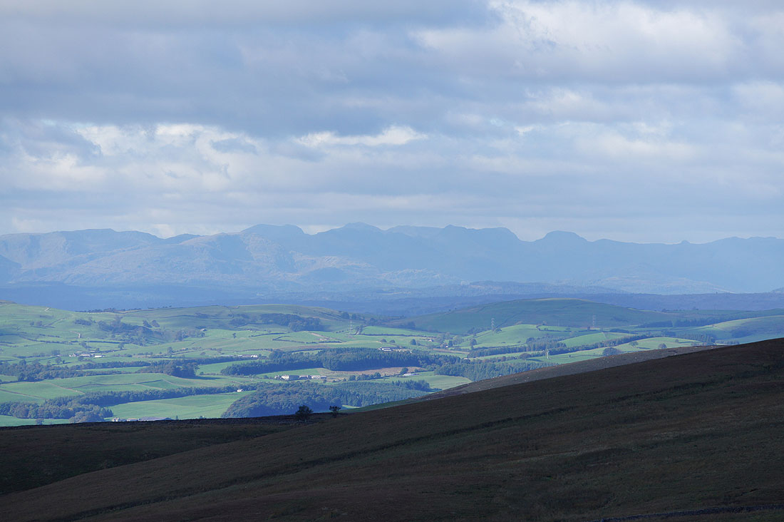
A little to the right is Scafell, Scafell Pike, Broad Crag, Bow Fell, Great End and Great Gable. Even the pointed top of Pike o'Stickle can be made out.
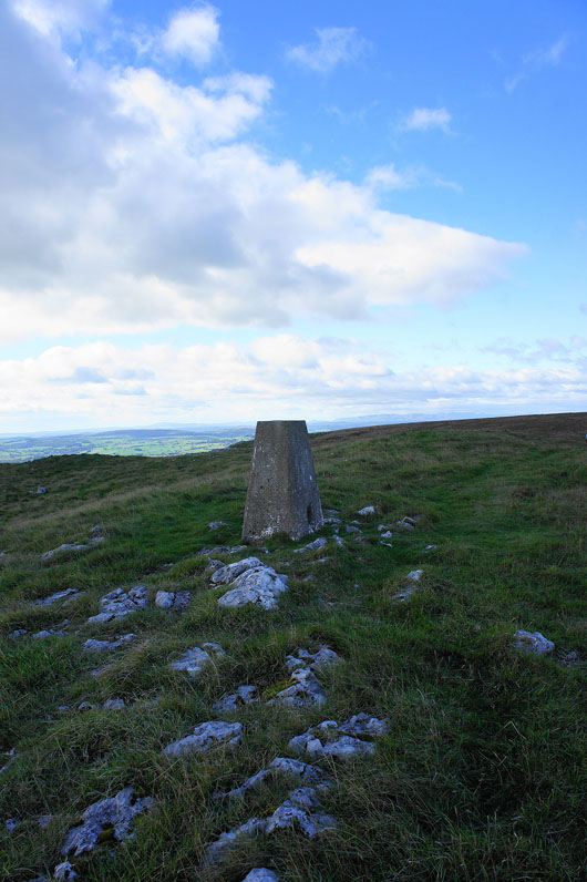
The trig point on Tow Scar
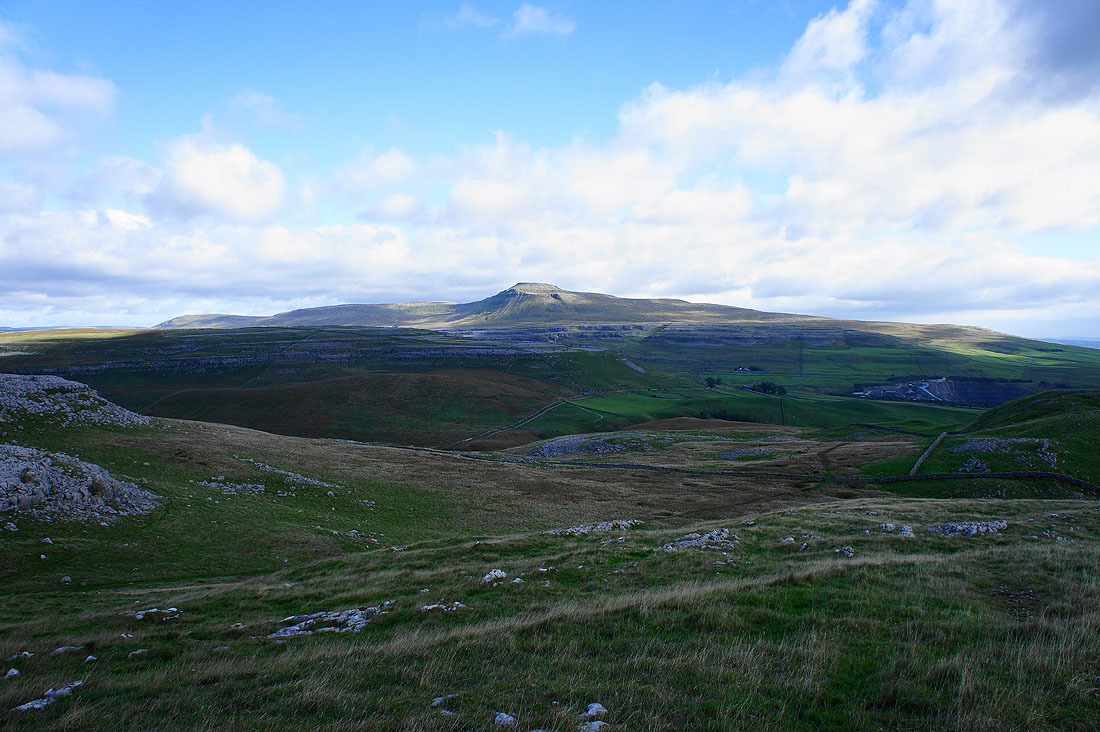
Ingleborough from the trig point
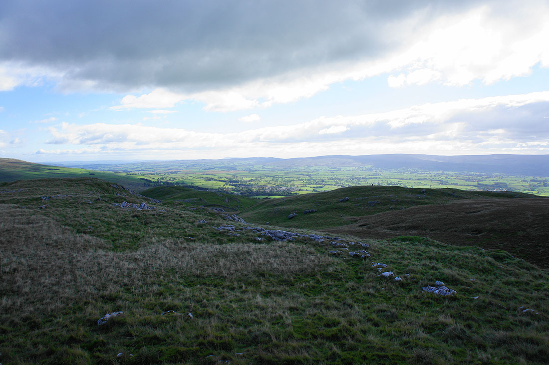
Ingleborough again but this time I've just past Twisleton Hall to descend to Oddie's Lane for the second half of the trail
The scenic delights soon resume with Beezley Falls
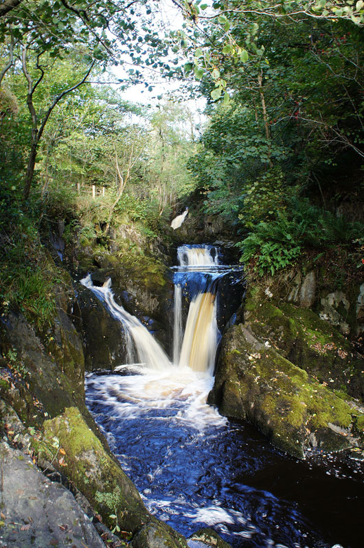
Then Triple Spout
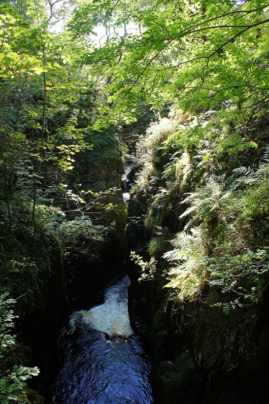
The path twists and turns through the rocky gorge
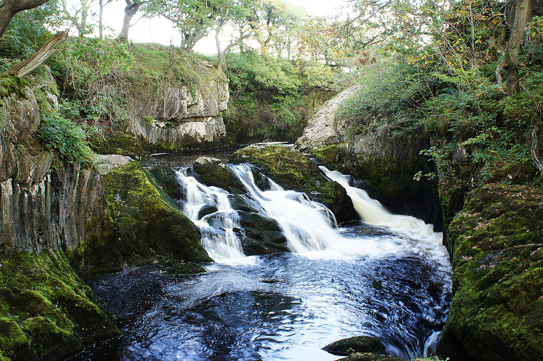
Next are Rival Falls
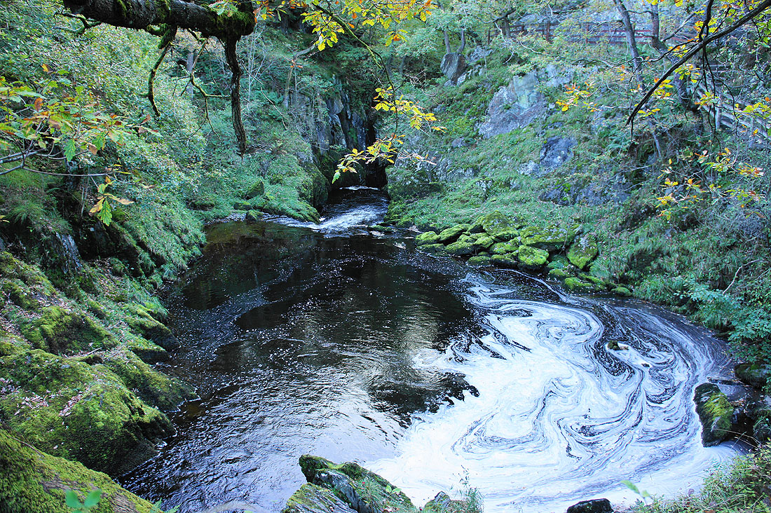
The river is briefly quiet before..
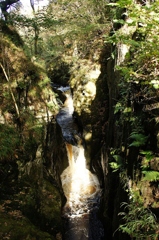
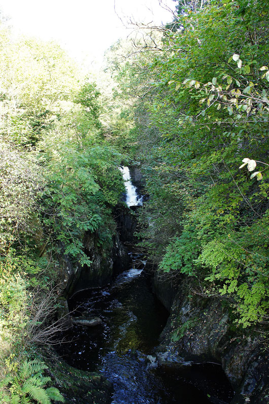
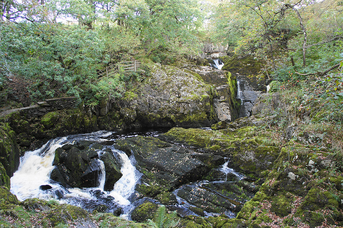
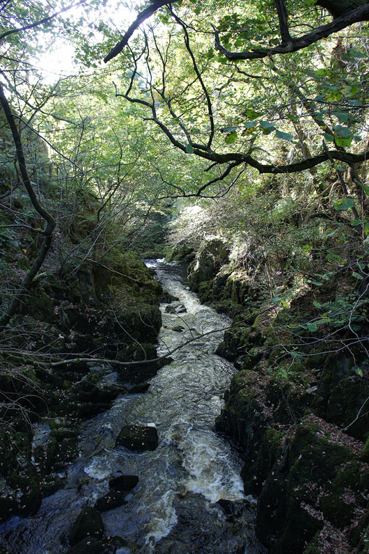
..it plunges through Baxenghyll Gorge..
..a there and back path out onto a footbridge allows you to stand above the gorge
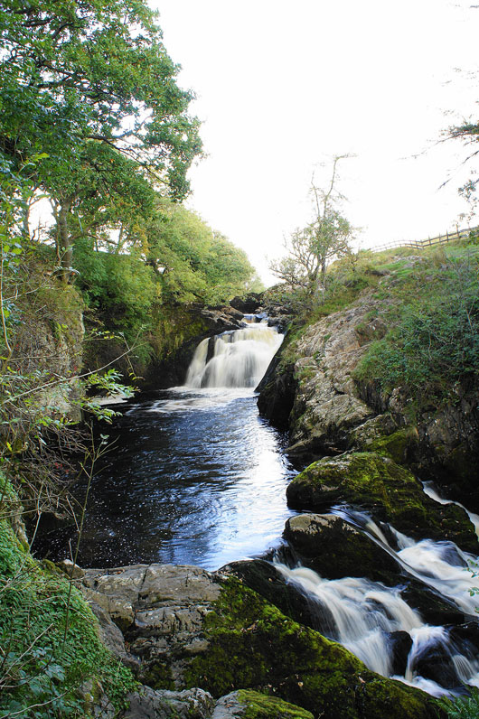
Snow Falls. The final named fall on the River Doe.
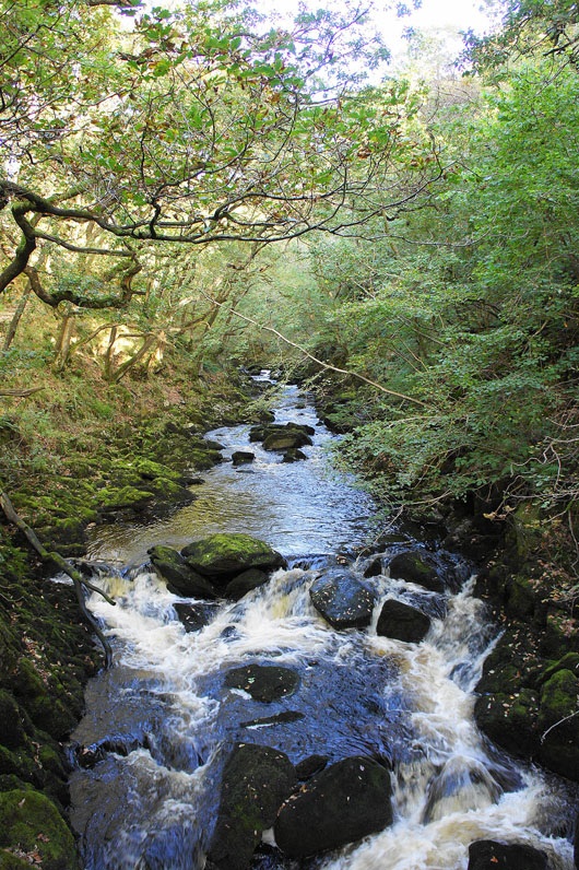
There's still lots to see as the path continues with the river downstream...
Then just outside Ingleton you get a view back up the gorge
A walk through Ingleton will take me back to the car park