10th October 2021 - Plover Hill and Penyghent
Walk Details
Distance walked: 9.4 miles
Total ascent: 1880 ft
OS map used: OL2 - Yorkshire Dales, Southern & Western areas
Time taken: 6.5 hrs
Route description: Horton-Pennine Way-Hull Pot-Foxup Moor-Plover Hill-Penyghent-Pennine Way-Long Lane-Dub Cote-Horton
I had a few walks in mind when I set off for Ribblesdale this morning, but it was seeing cloud on Ingleborough and not on Penyghent that made it up for me, as I ended up opting for a route that I've done several times before, Plover Hill and Penyghent from Horton-in-Ribblesdale. I enjoyed a fine autumn day for this walk with sunny spells, good visibility for taking in the views, and a chilly breeze that felt appropriate for the season.
From the car park in Horton-in-Ribblesdale I picked up the trail of the Pennine Way and followed it up Horton Scar Lane to its top, and then took the bridleway to Foxup up onto Foxup Moor (with a short detour to see Hull Pot). When I reached the fingerpost for Plover Hill I left the bridleway and followed the footpath up onto Plover Hill, where I stopped for lunch. After this break I then followed the path south across the moor and up to the summit of Penyghent. Once I'd taken in the view I took the Pennine Way south from the summit, then when I reached the track of Long Lane I followed this south until I reached the bridleway to Dub Cote on the right. I followed this bridleway down to Dub Cote, and then from there I walked along roads back to Horton-in-Ribblesdale.
Route map
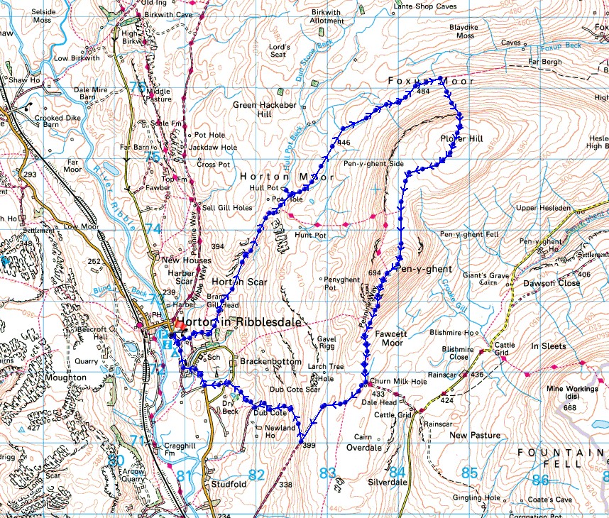
© Crown copyright. All rights reserved. License number PU 100034184.
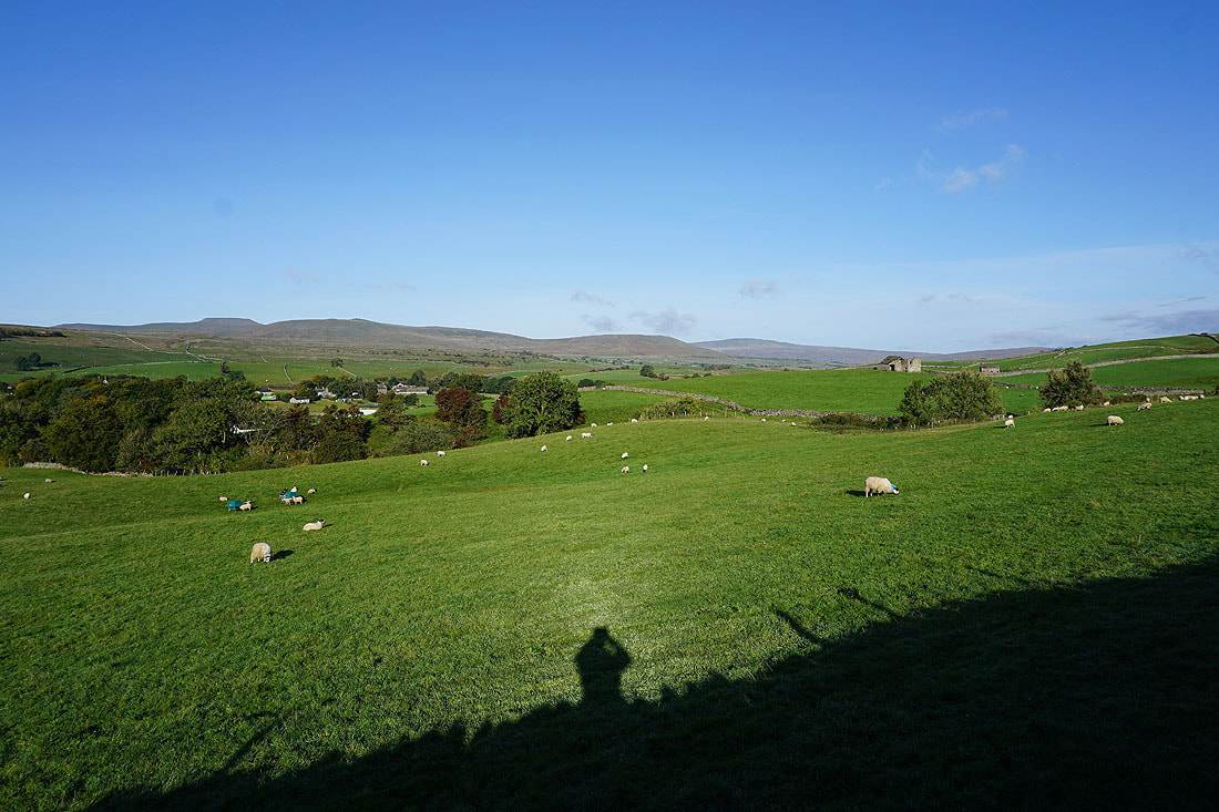
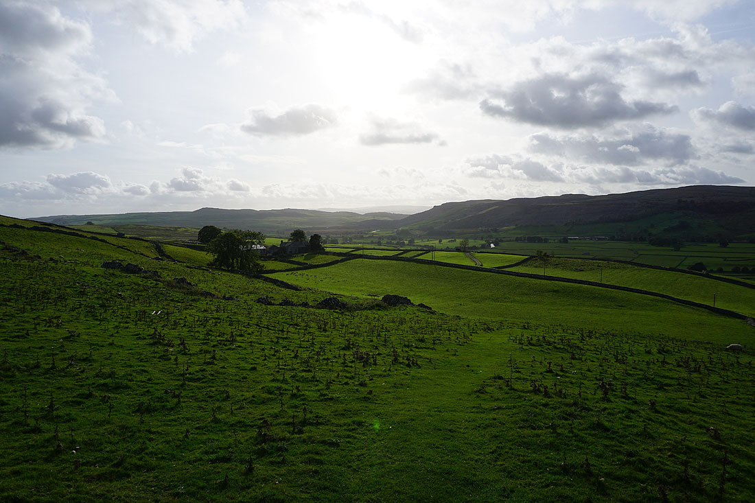
Ingleborough, Simon Fell and Park Fell soon appear on the other side of Ribblesdale as I leave Horton via Horton Scar Lane
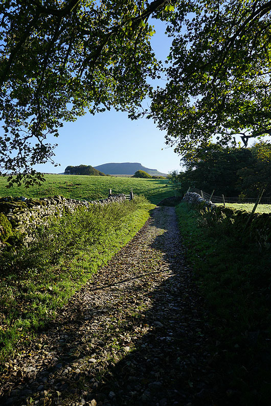
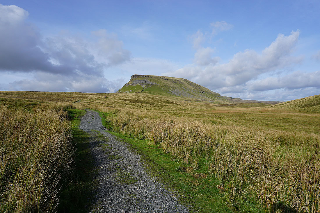
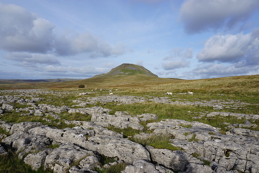
Penyghent soon appears ahead
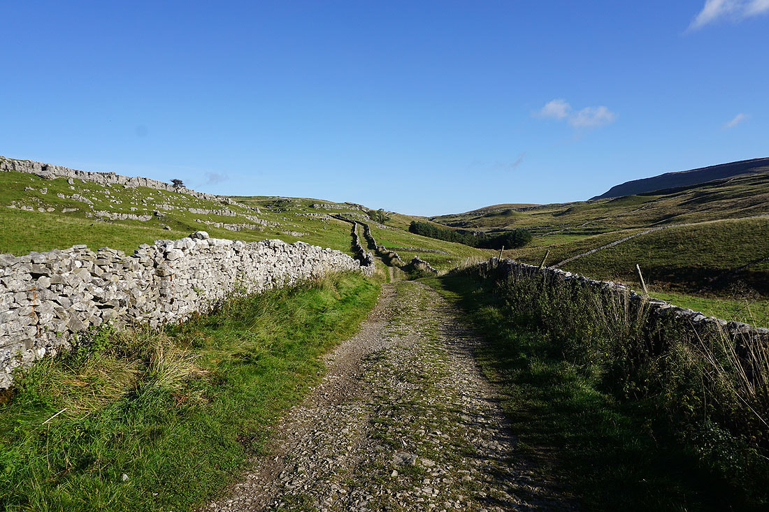
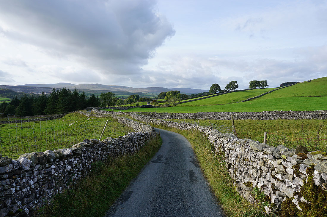
Heading up Horton Scar Lane
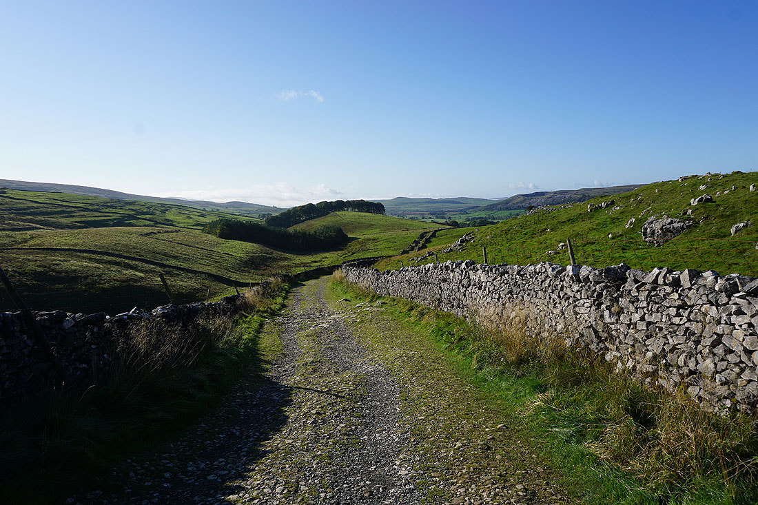
and looking back down Horton Scar Lane
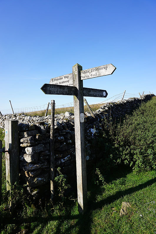
At the top of Horton Scar Lane and I leave the Pennine Way for the bridleway to Foxup
On the bridleway to Foxup, which takes me past..
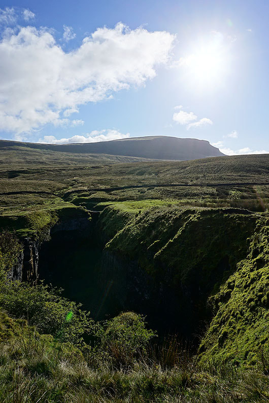
..Hull Pot. I couldn't not stop and take a photo.
Resuming my journey along the bridleway to Foxup
Looking across Horton Moor to Ingleborough and the top of Whernside
The moorland of Cosh Outside rises to Cosh Knott
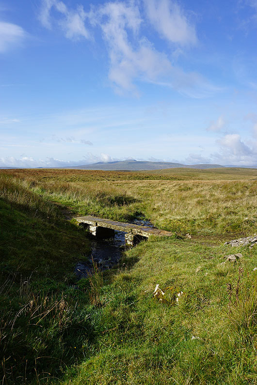
My first stop of the day is by this bridge over a beck with a view of Ingleborough
Looking back to Ingleborough and Whernside..
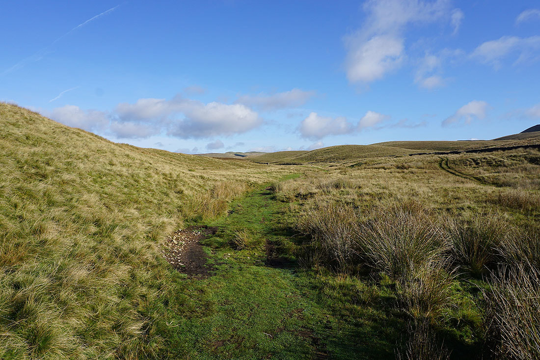
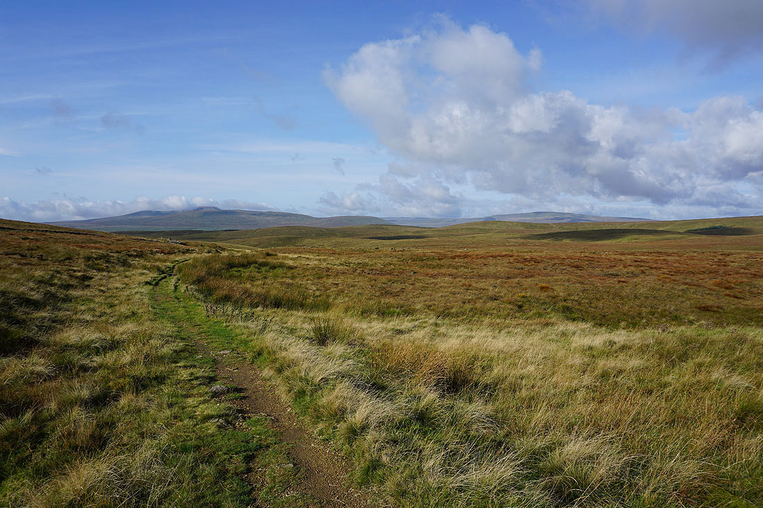
..as I follow the bridleway onto Foxup Moor
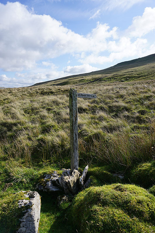
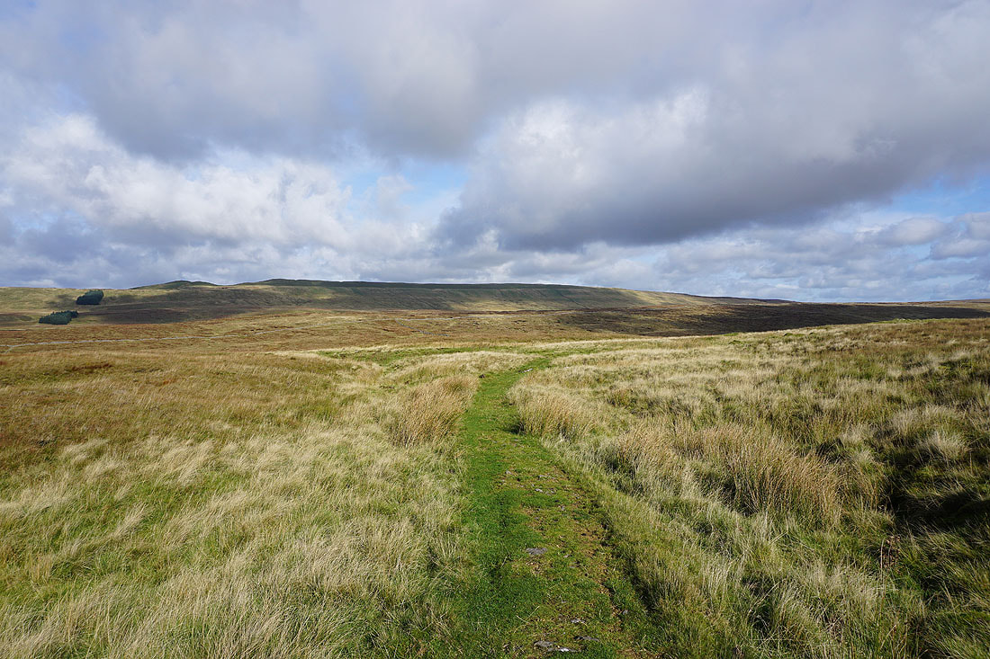
Time to leave the bridleway and climb the path up onto Plover Hill
As I climb higher I can see over the moors around the head of Littondale to Dodd Fell Hill and Yockenthwaite Moor
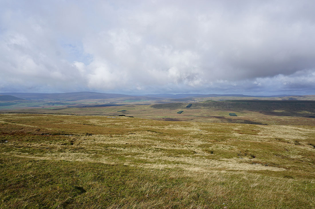
and from the top of the climb there are Whernside, the Howgills, Baugh Fell and Great Knoutberry Hill to the northwest
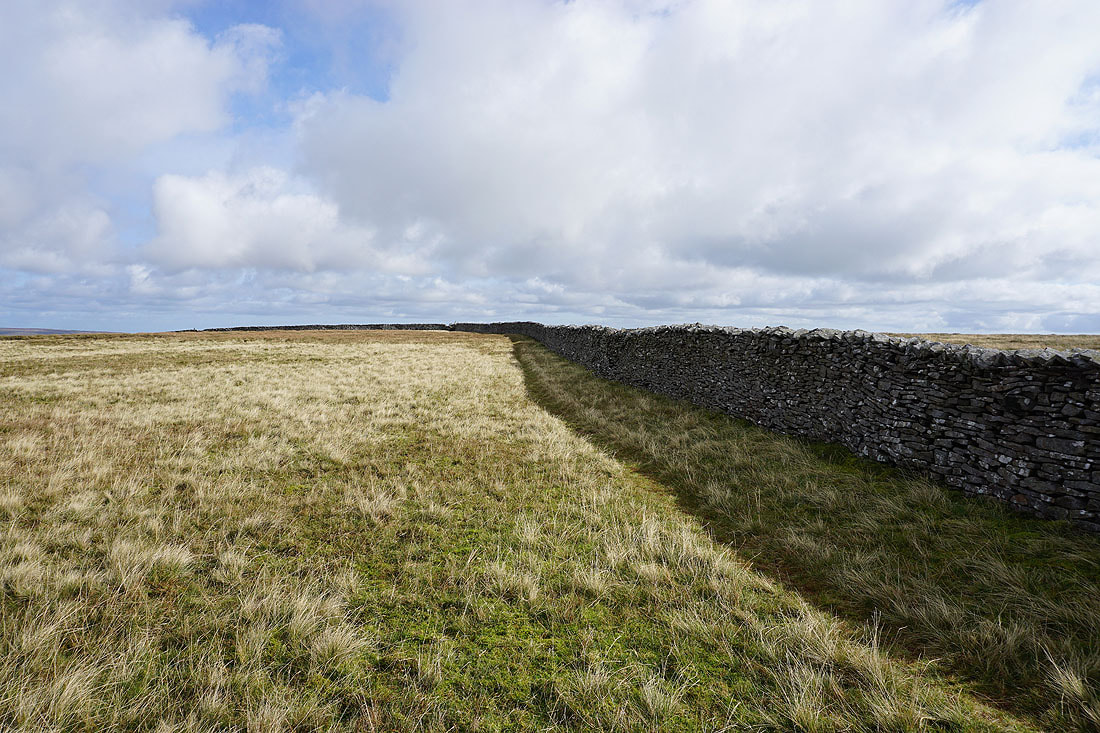
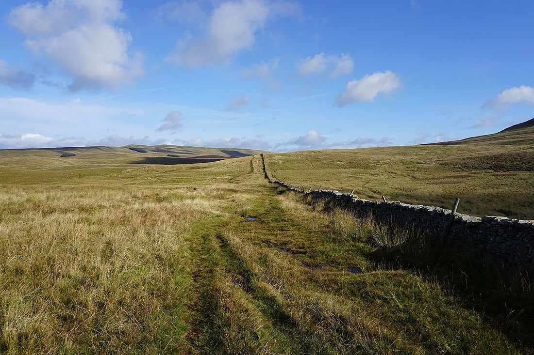
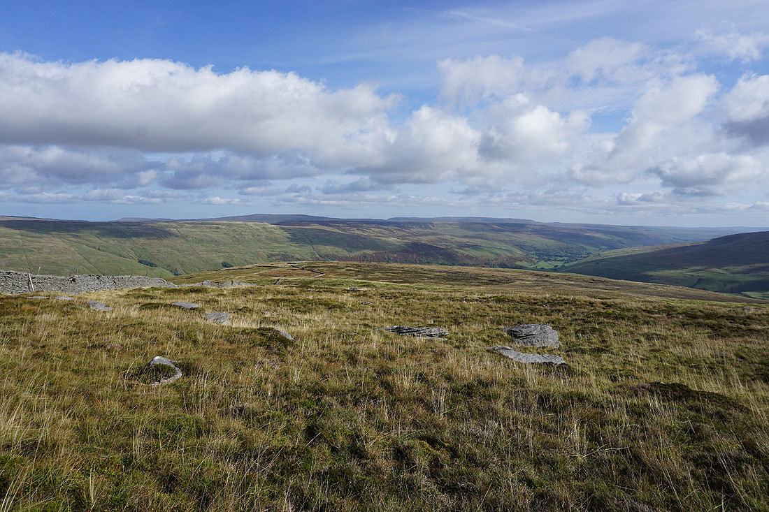
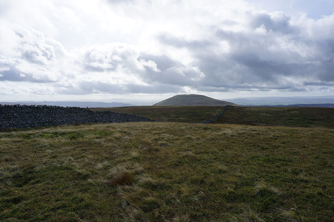
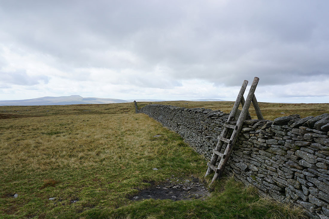
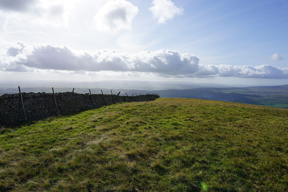
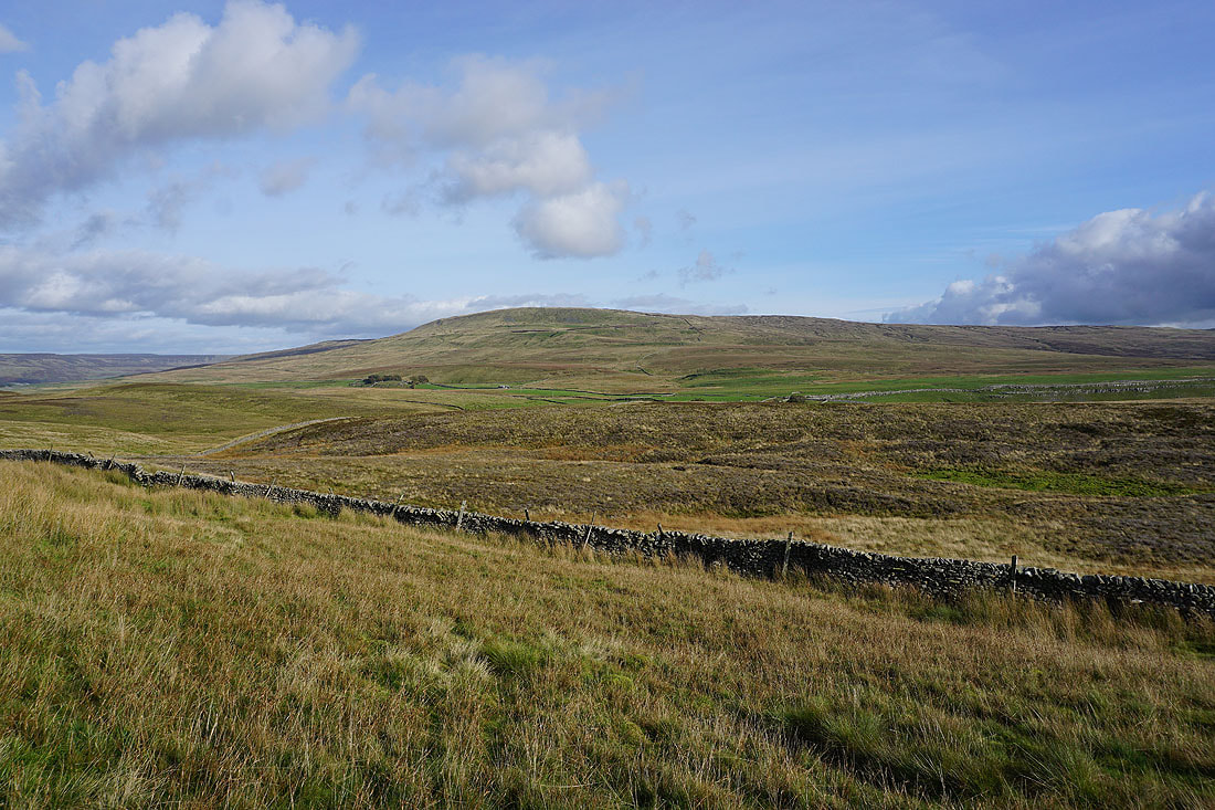
Now on the top of Plover Hill I follow the summit wall east to its junction with one that runs north
Looking back to Ingleborough in the distance
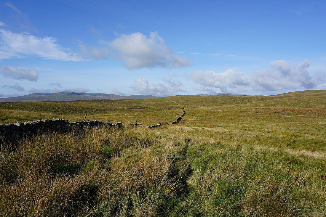
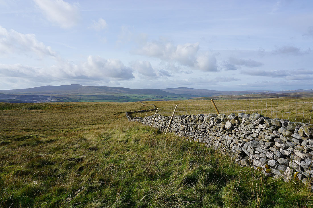
Having crossed the wall, I look north to see Wild Boar Fell, Dodd Fell Hill, Great Shunner Fell and Lovely Seat in the distance
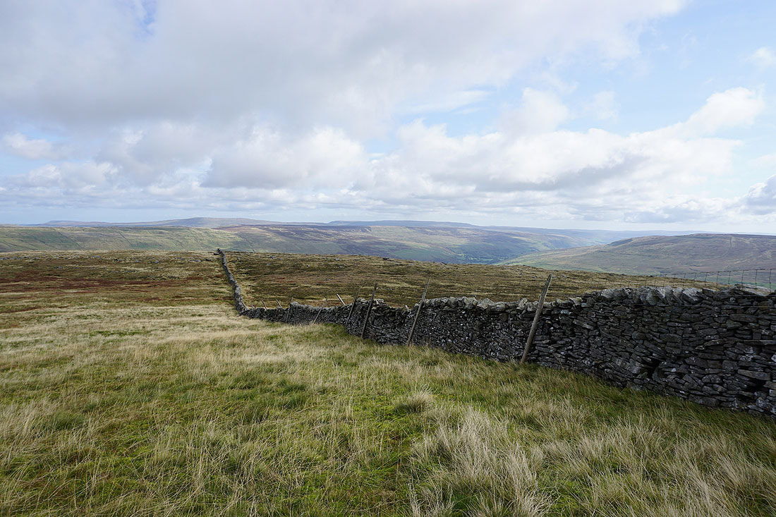
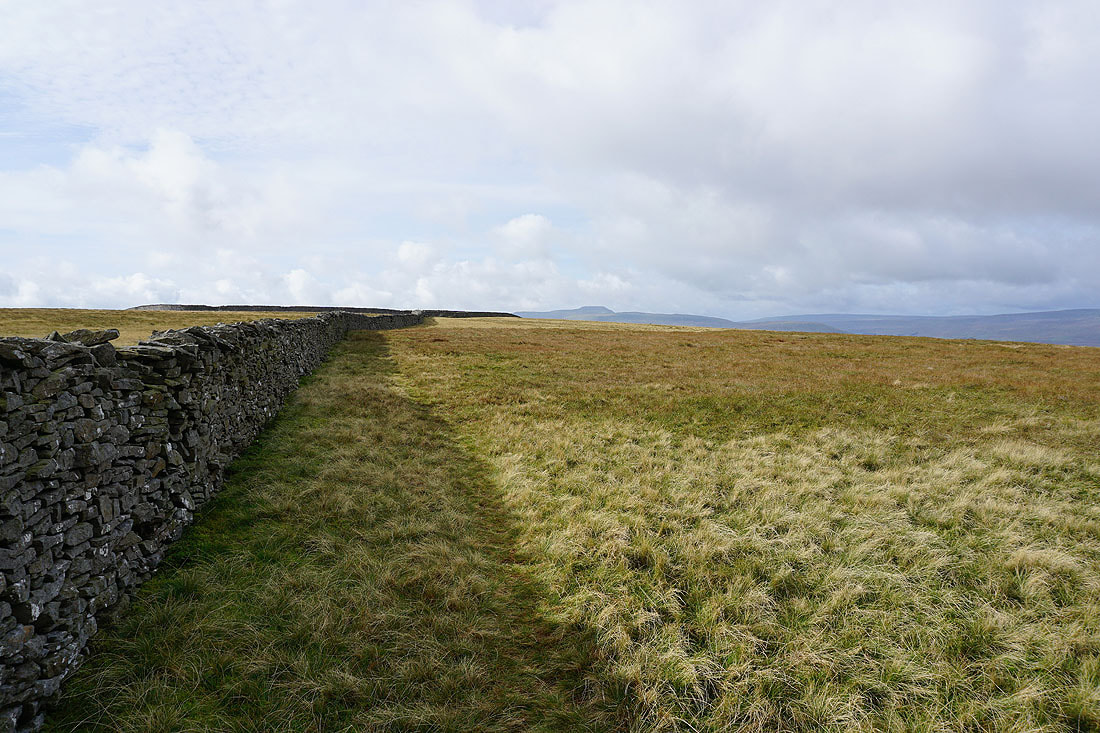
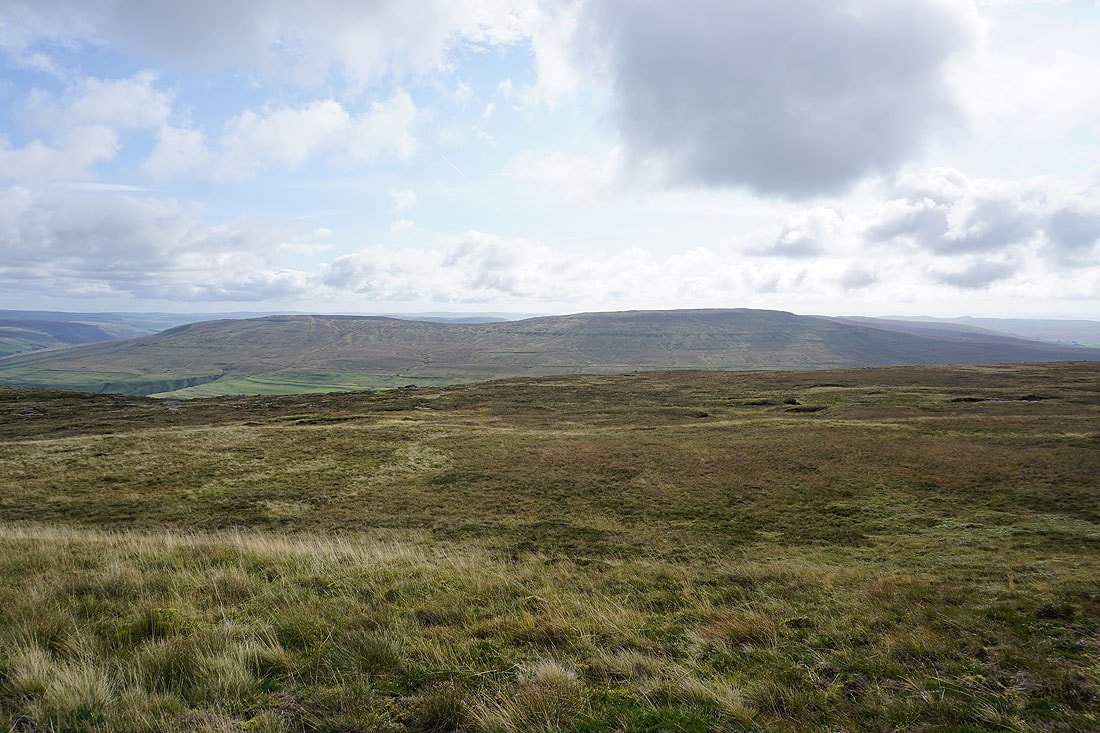
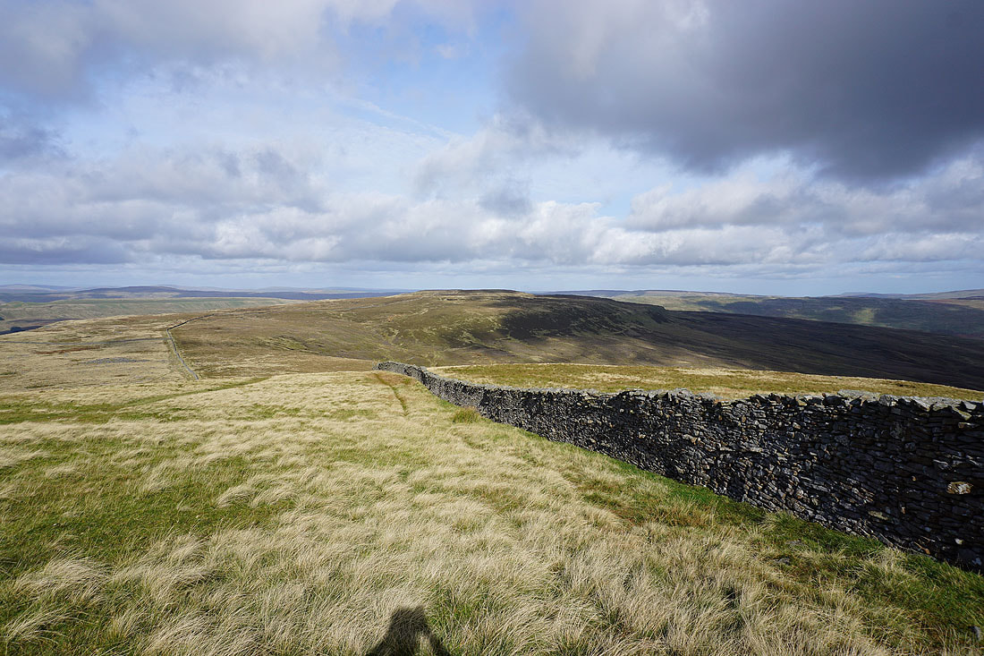
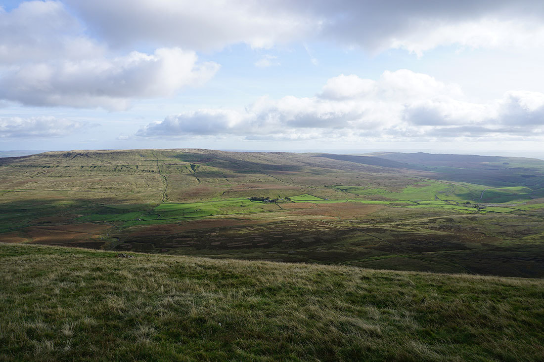
The summit wall runs down into Littondale. The tops of Buckden Pike and Great Whernside are in the distance to the east beyond Birks Fell and Old Cote Moor Top.
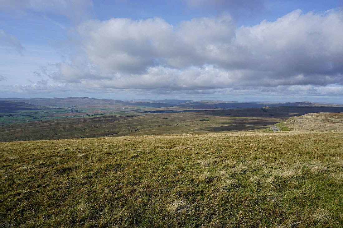
My lunch stop on the top of Plover Hill has a pretty good view. Starting with Penyghent on the right.
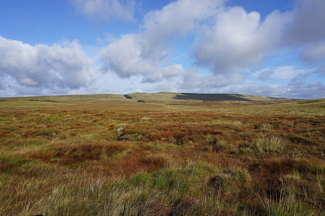
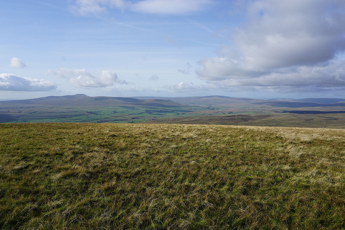
Darnbrook Fell and Fountains Fell
The tops of Buckden Pike and Great Whernside in the distance
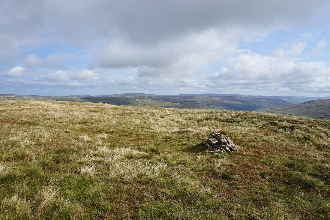
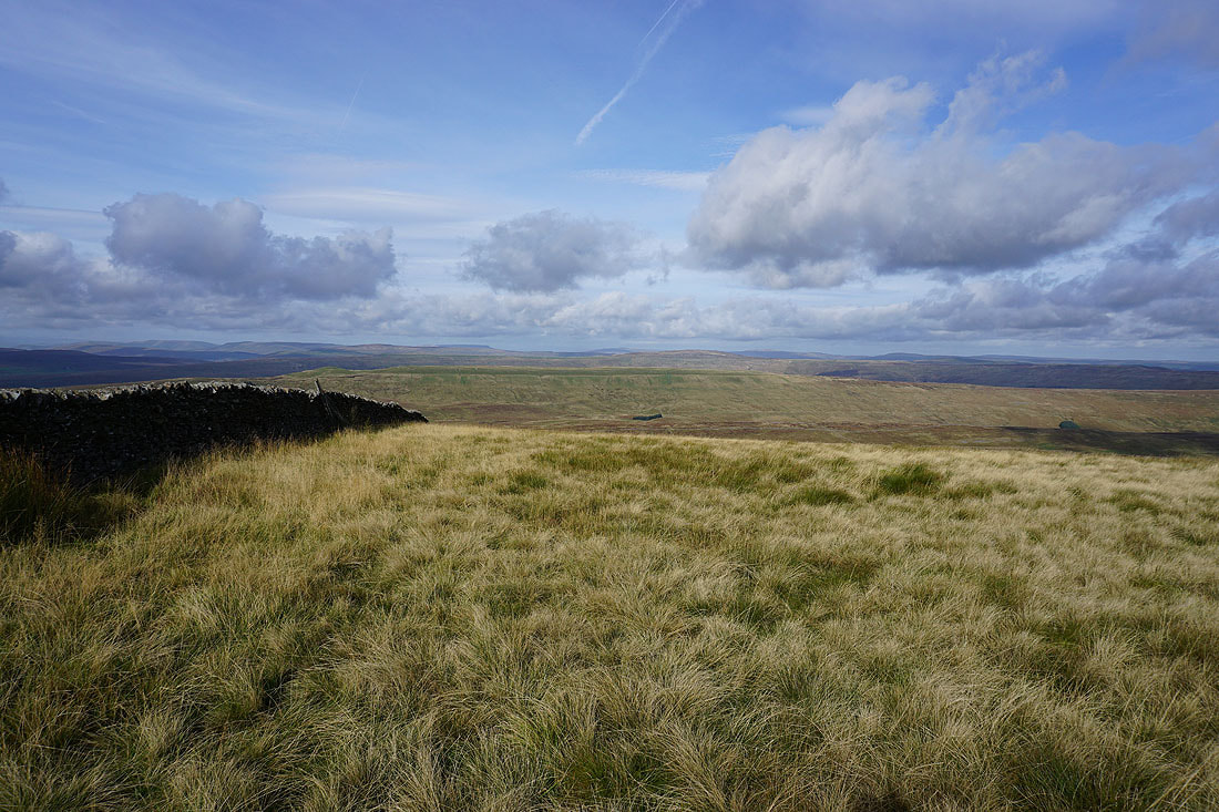
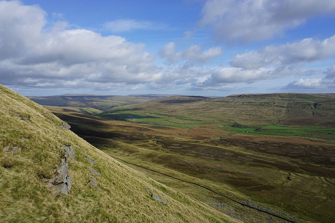
If I make my way east I get a better view down into Littondale
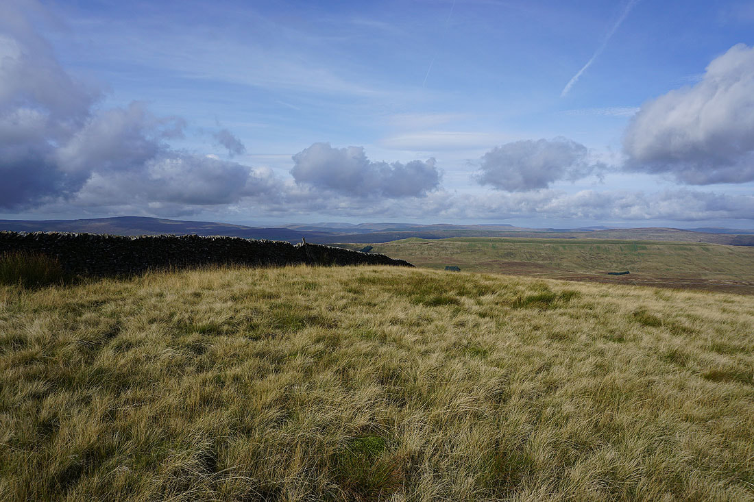
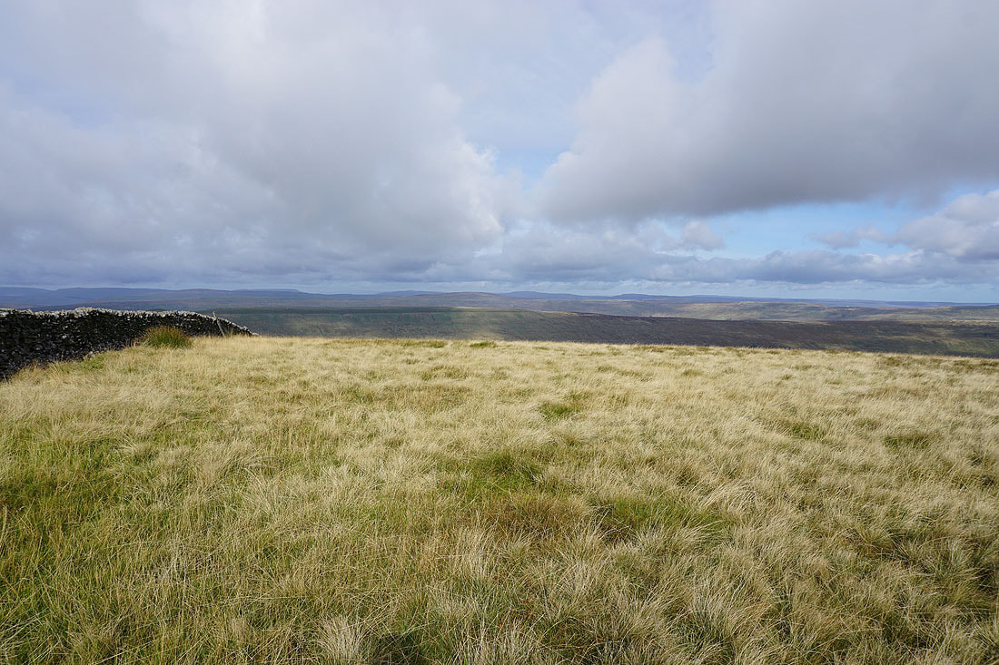
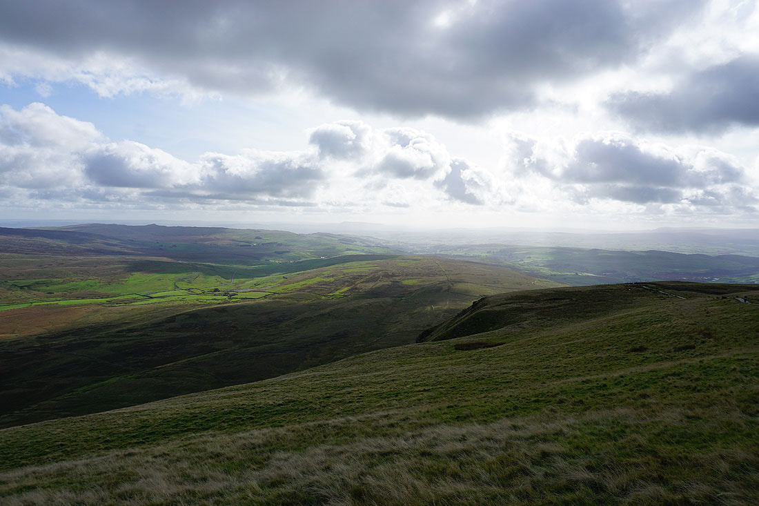
The visibility is better than when I was here a little earlier. Looking northwest to Whernside, the Howgills, Baugh Fell, Great Knoutberry Hill, Wild Boar Fell and Dodd Fell Hill.
and north to the Howgills, Baugh Fell, Great Knoutberry Hill, Wild Boar Fell and Dodd Fell Hill, Great Shunner Fell and Lovely Seat
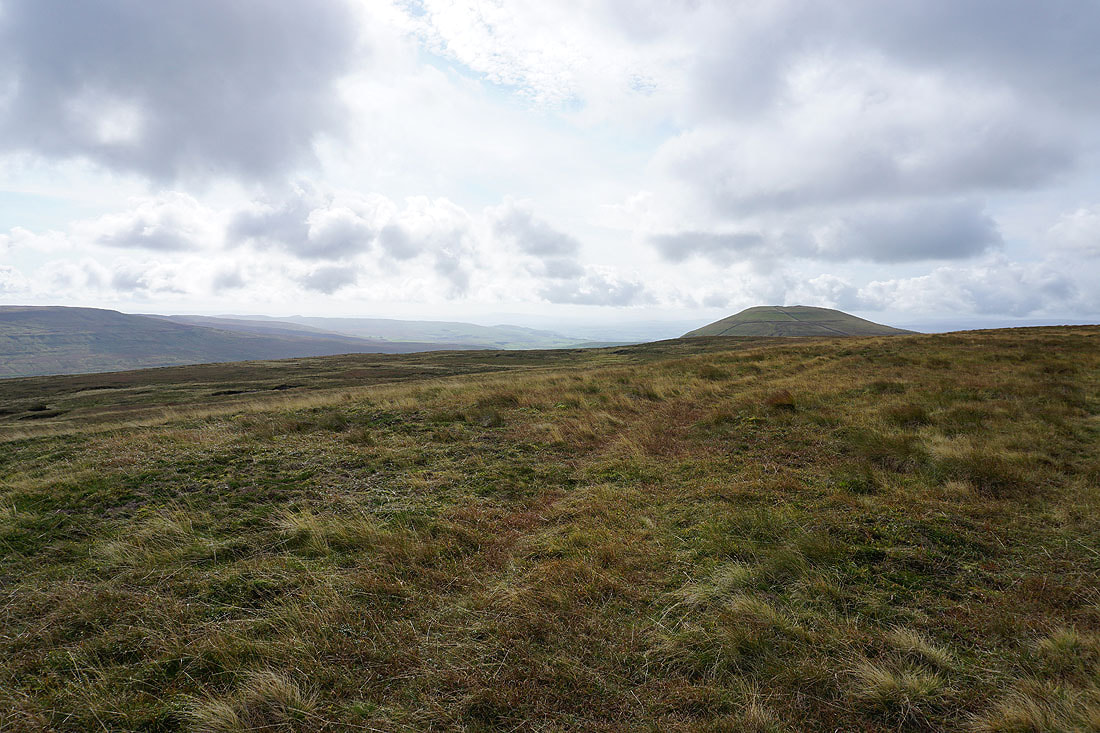
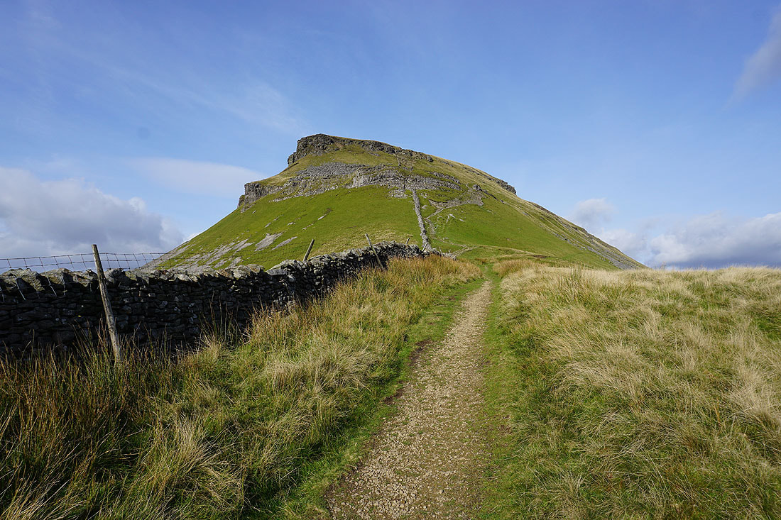
Heading for Penyghent
Ingleborough in the distance as I cross the wall halfway between Plover Hill and Penyghent
Looking back to Plover Hill
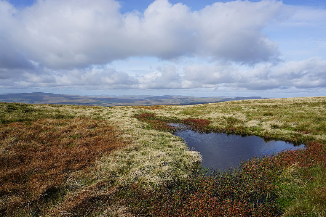
A moorland pool provides a foreground for a photo looking towards Whernside, the Howgills, Baugh Fell, Great Knoutberry Hill and Dodd Fell Hill
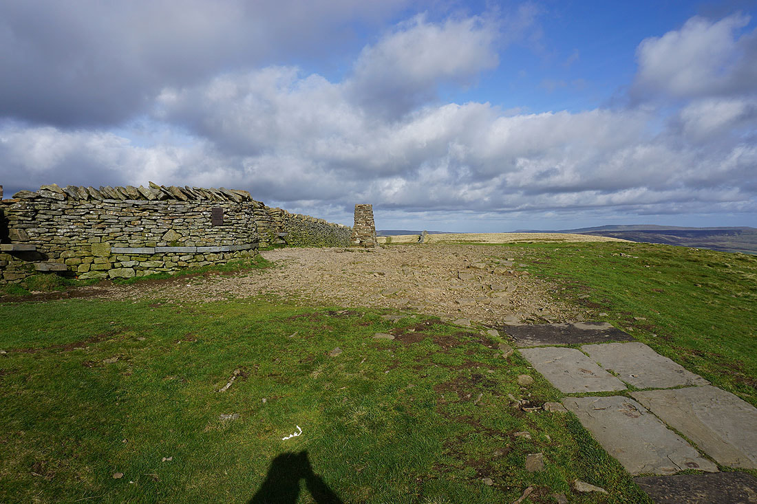
On the summit of Penyghent
The view from Penyghent. Looking across the top of Silverdale to Fountains Fell.
and south down Ribblesdale to Pendle Hill in the distance
The Forest of Bowland to the southwest
Looking across Ribblesdale to Ingleborough and Whernside
Whernside, the Howgills, Baugh Fell, Great Knoutberry Hill, and Dodd Fell Hill in the distance
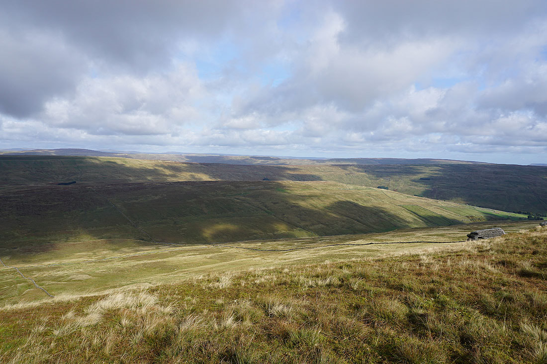
A pause in the descent gives me an opportunity to take a photo of Penyghent Gill, Darnbrook Fell and Fountains Fell
Below the limestone crags of Penyghent
Looking back to Penyghent as I head south on the Pennine Way
and across the top of Silverdale to Fountains Fell
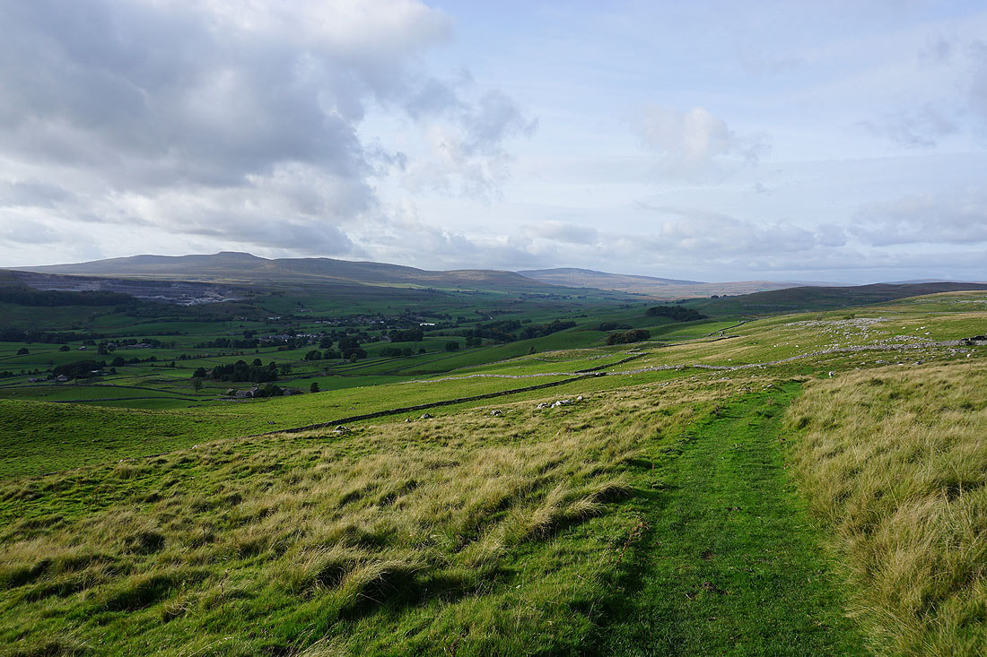
Ingleborough and Whernside on the other side of Ribblesdale from the track of Long Lane
Penyghent from Dub Cote Scar
I leave the track of Long Lane for the bridleway down to Dub Cote..
Then from Dub Cote I walk down the lane towards Horton
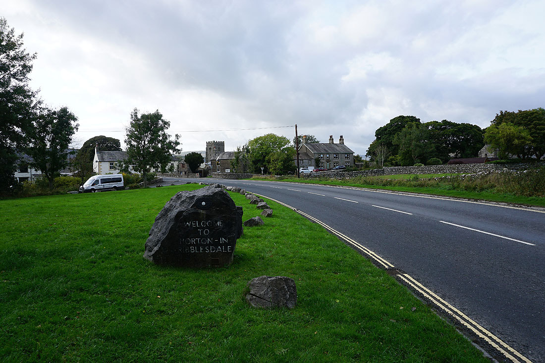
Back in Horton-in-Ribblesdale