10th September 2015 - The fells south of Coledale plus Wandope & Grasmoor
Walk Details
Distance walked: 11.3 miles
Total ascent: 4735 ft
OS map used: OL4 - The English Lakes, Northwestern area
Time taken: 8 hrs
Route description: Roadside at Uzzicar-Stonycroft Gill-High Moss-Causey Pike-Scar Crags-Sail-Eel Crag-Grasmoor-Wandope-Eel Crag-Sail-High Moss-Outerside-Stile End-Barrow Door-Barrow-Roadside at Uzzicar
After yesterdays grey skies the sun is back. I wasn't sure about where I'd be walking today up until yesterday evening and after seeing the forecast I decided to do one of the walks that I'd planned to do. A sunny day was forecast but windy high up, though not uncomfortably so. With the warm sunshine it made for a nice day. There are so many Wainwrights in a small area around here that I ended the day with another eight added to the total of my second round. I suppose with hindsight I could have made the walk even longer by going to the north of Coledale Hause but I'd like to do Grisedale Pike, Hopegill Head and Whiteside by a route that I haven't done before.
I started the walk from the layby at Uzzicar on the Braithwaite to Buttermere road. From there I took the mine track by Stonycroft Gill towards High Moss and then a path that crosses Causey Pike's northern slopes to reach its summit. I then followed the ridge west over the tops of Scar Crags and Sail to reach Eel Crag. After a brief pause to take in the view I kept going to finally arrive on the summit of Grasmoor. A well earned break was had in the shelter up there. Time to retrace my steps back to Eel Crag but with a detour to Wandope on the way. From Eel Crag I then made my way back down to Sail and then Sail Pass. Here, I turned left onto the path towards High Moss and then onwards to climb Outerside. I then crossed Low Moss to Stile End and Barrow Door to reach the final top of the day, Barrow. To finish the day I descended Barrow's north ridge to pick up the bridleway from Braithwaite to the road I was parked by.
Route map
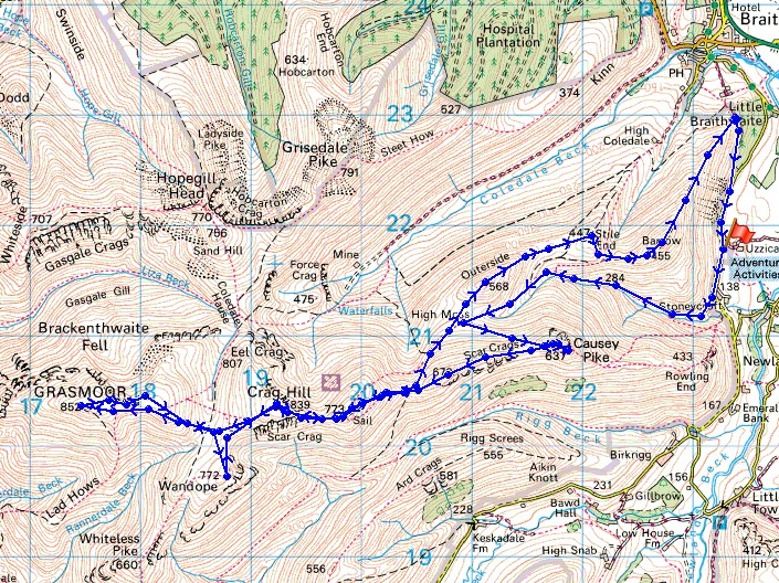
© Crown copyright. All rights reserved. License number PU 100034184.
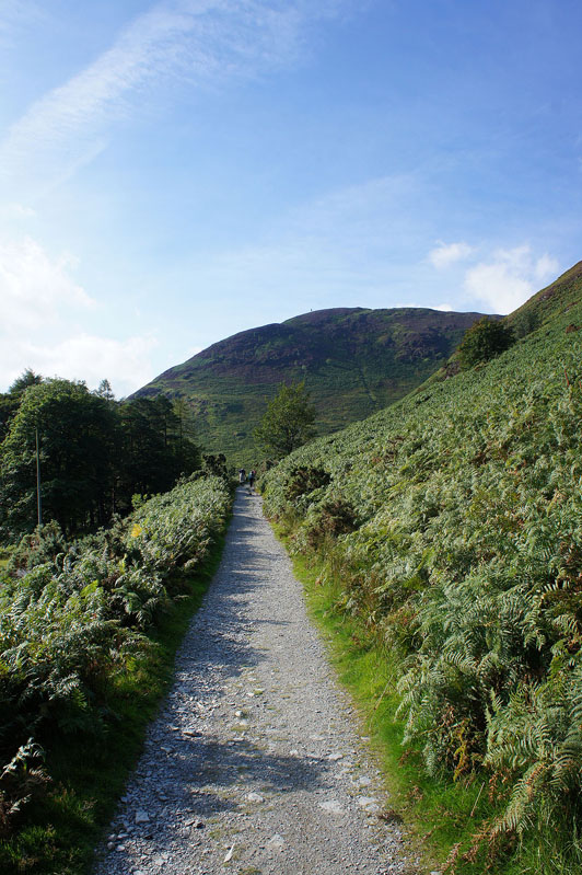
As I set off along the old mine track, Rowling End ahead..
..and then Causey Pike. It was at this point that I remembered that I was supposed to be going up Rowling End. Never mind.
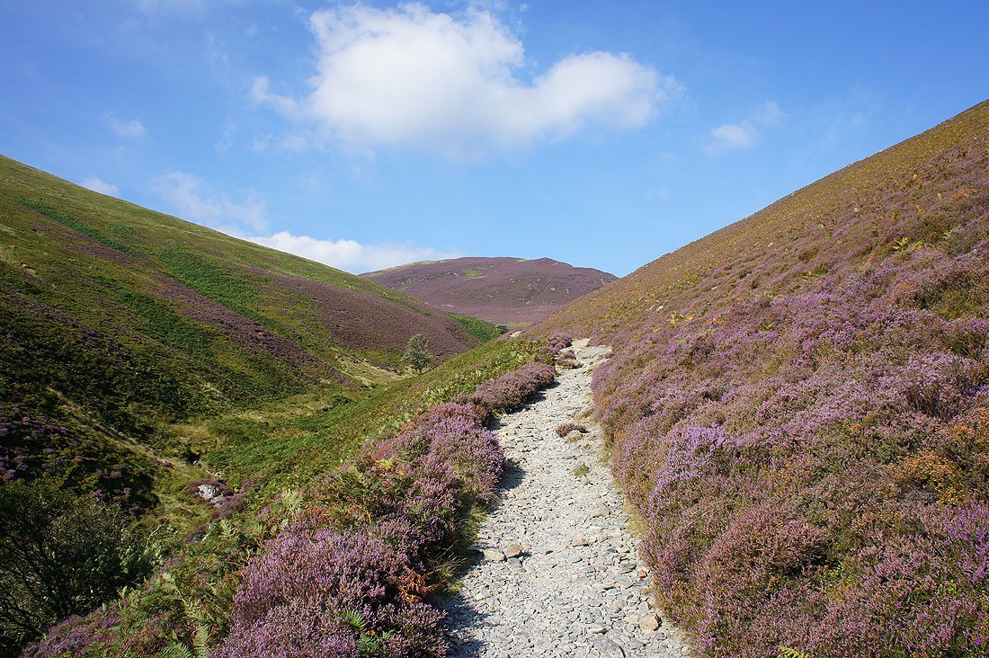
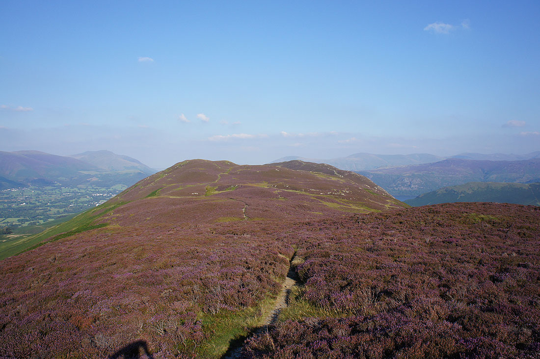
Outerside and lots of heather in bloom
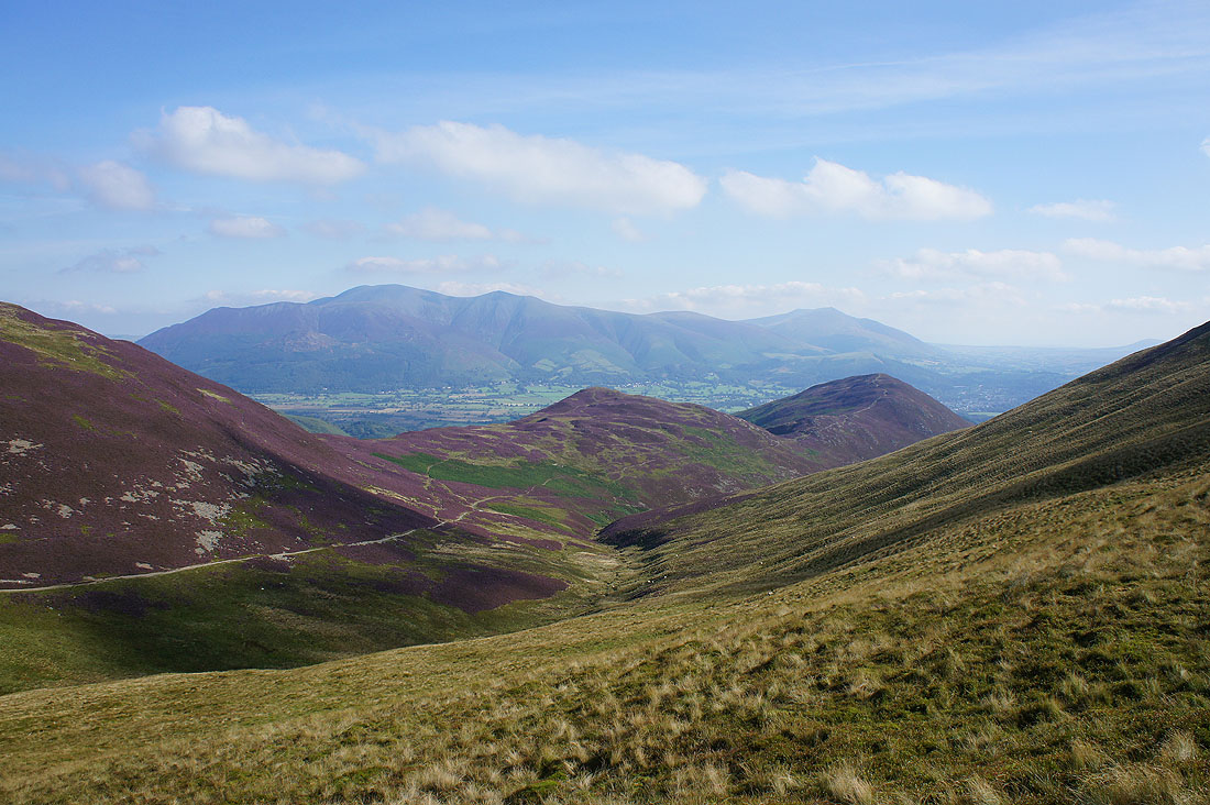
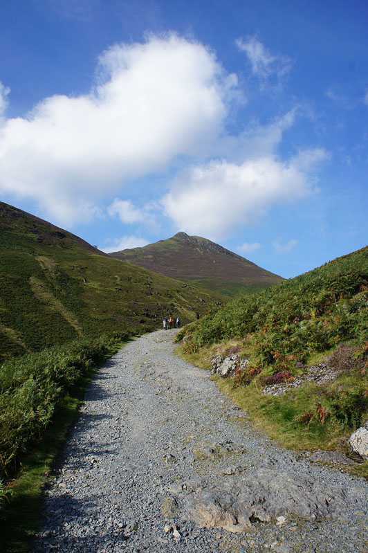
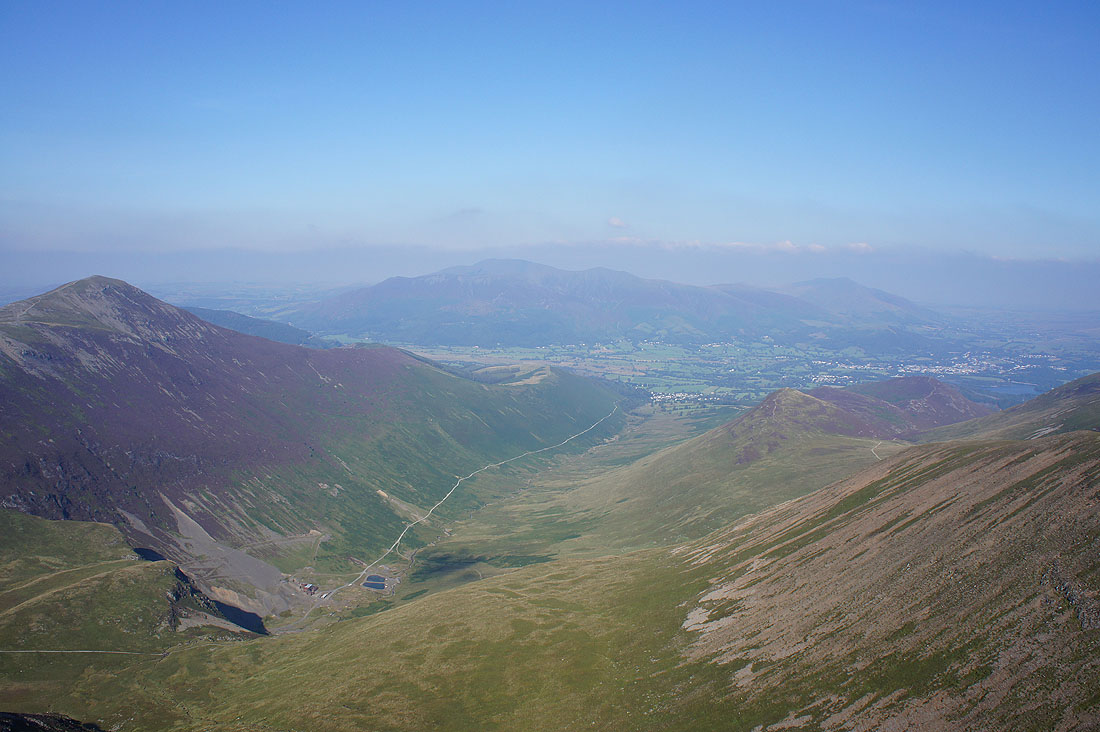
Stile End and Barrow in front of Skiddaw and Blencathra as I head for the top of Causey Pike
Views from the summit of Causey Pike. Braithwaite, Barrow, Skiddaw, Blencathra and Keswick.
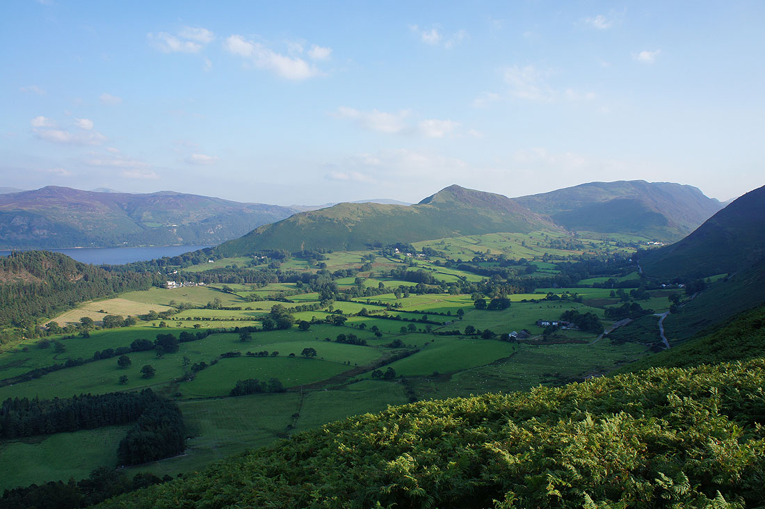
Rowling End below, Derwent Water and Catbells, Bleaberry Fell and High Seat with the Helvellyn range in the distance
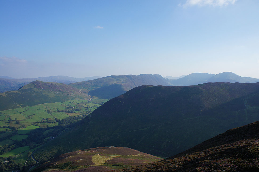
Hindscarth, Robinson and the Ard Crags to Knott Rigg ridge
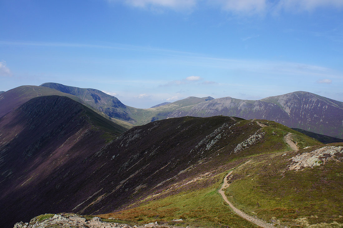
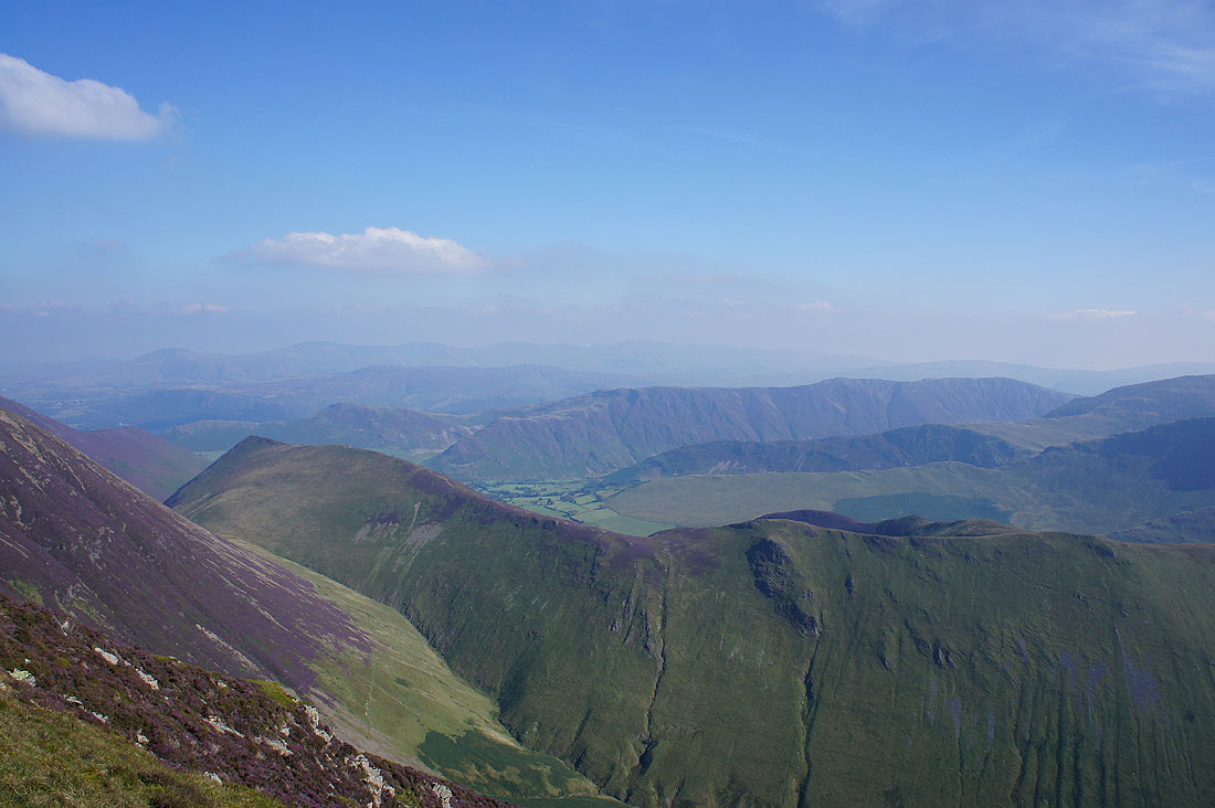
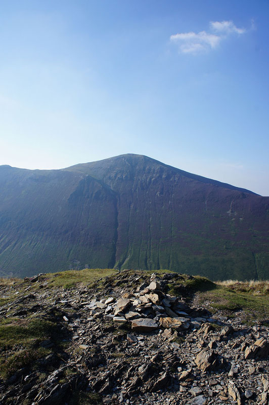
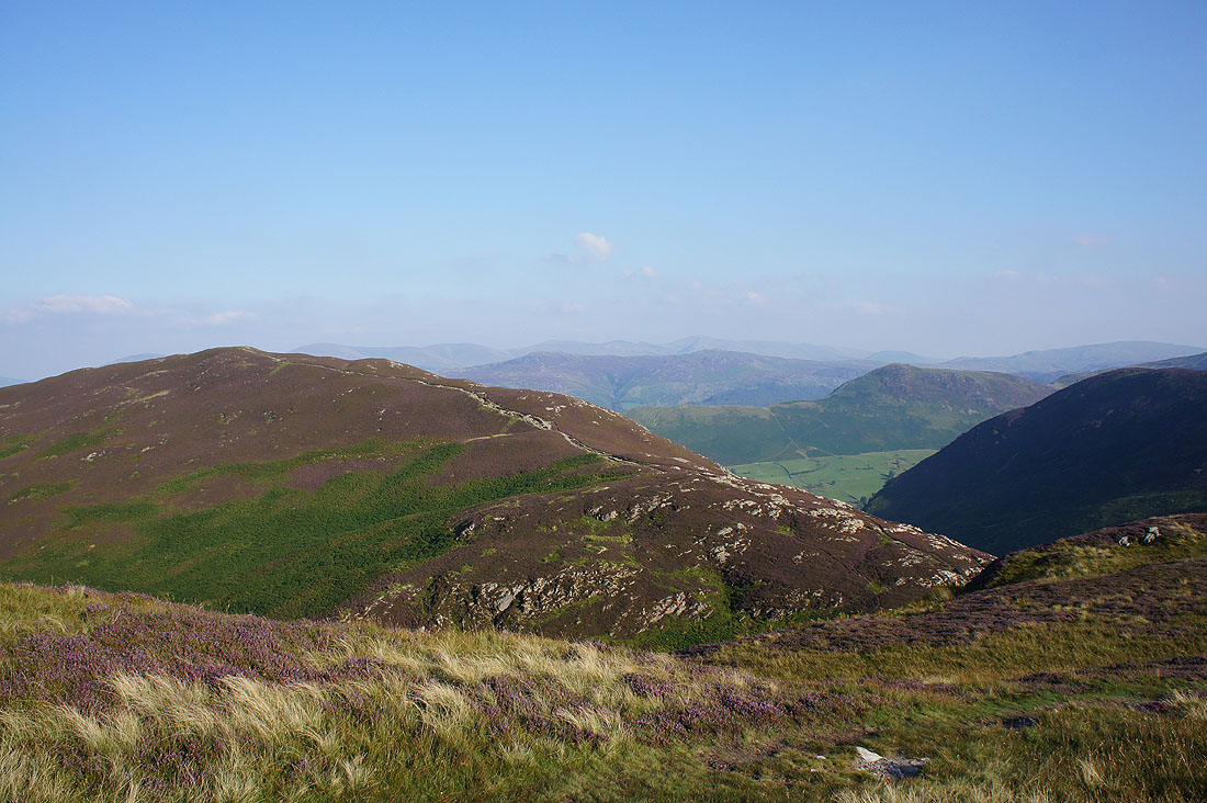
and finally all the fells around Coledale. Going clockwise, Scar Crags, Sail, Eel Crag, Hopegill Head and Grisedale Pike.
Heading for Scar Crags
Looking back to Causey Pike from Scar Crags
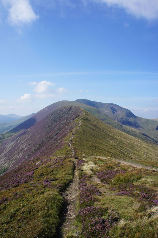
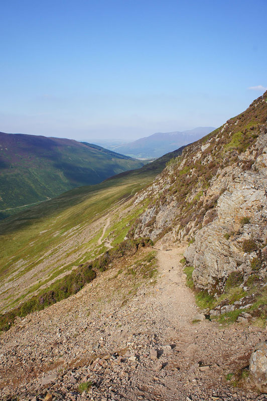
Next stop is Sail. I'm not sure if I'll ever like the look of that path.
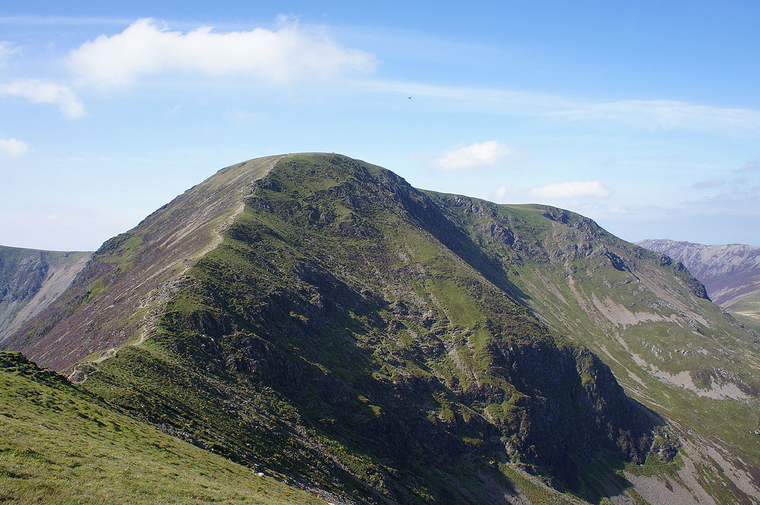
The imposing northeast face of Eel Crag from Sail
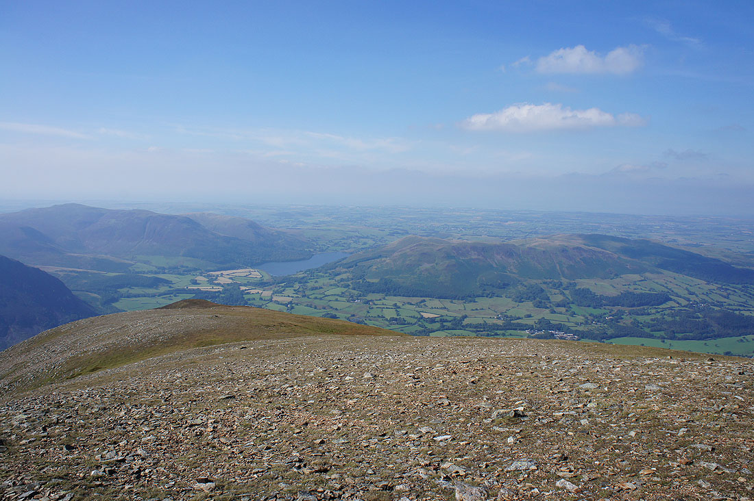
Having crossed Sail and Eel Crag I'm on the summit of Grasmoor and it's time for lunch. It's pretty windy up here and Grasmoor has a handy shelter to get out of it. Before I head back to Eel Crag a wander round to take in the view. Blake Fell, Loweswater, Low Fell and Fellbarrow beyond the slope that heads down to Grasmoor End.
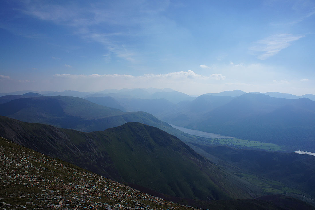
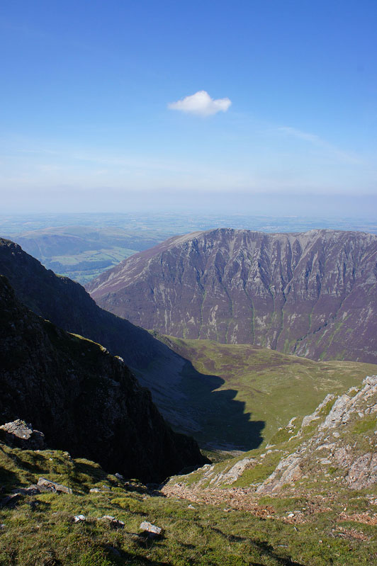
Looking across a hazy Buttermere valley to the Scafells
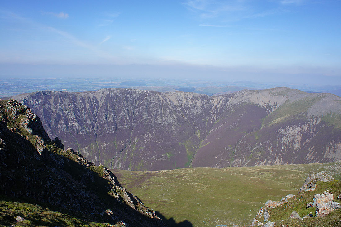
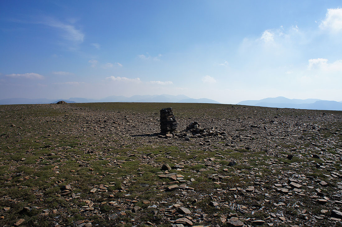
Grasmoor's summit is pretty flat and grassy, and it would be quite easy to miss out on seeing the dramatic views from the top of Dove Crags on its northern edge.
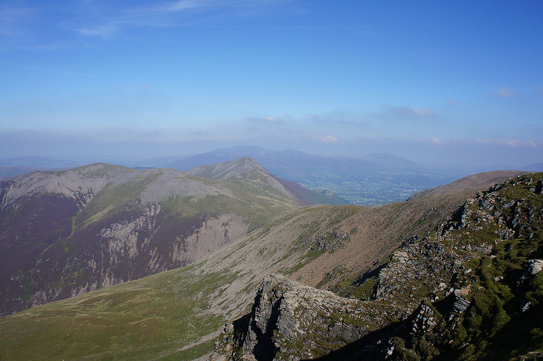
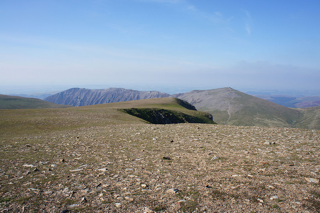
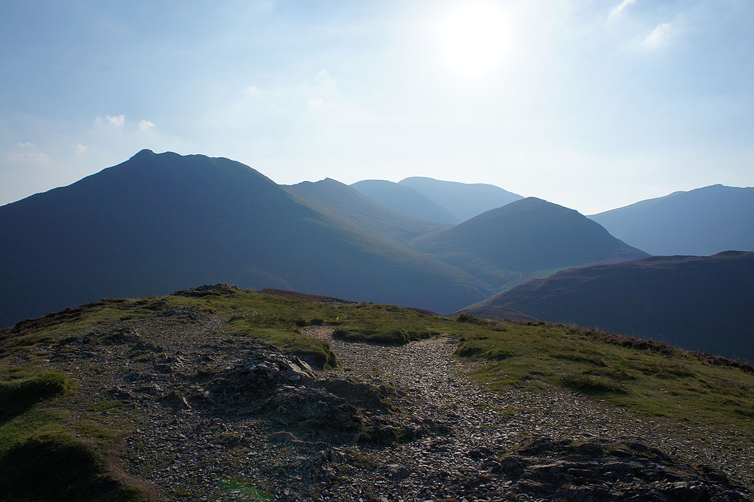
It's worth having a look. Hopegill Head, Grisedale Pike and Coledale Hause.
Whiteside and Hopegill Head
I really liked this view of the jagged shadow of Dove Crags in front of Gasgale Crags
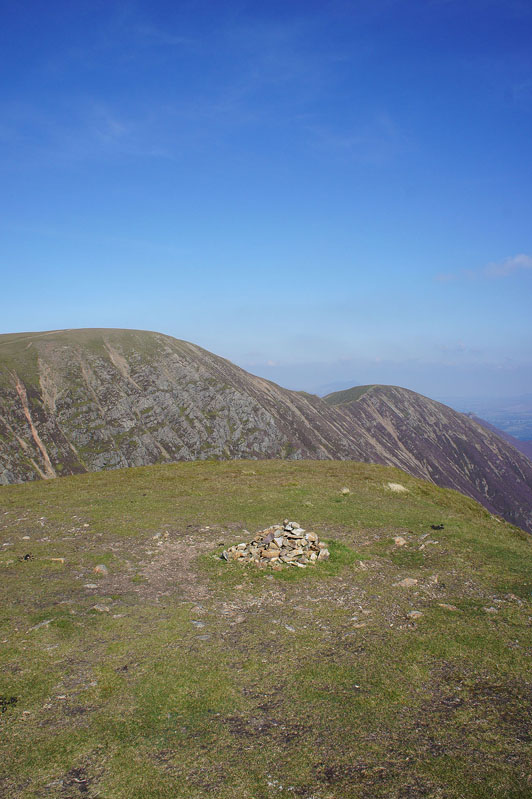
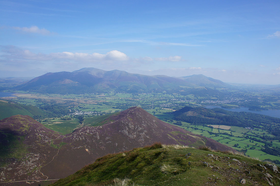
On the summit of Wandope. It was an easy decision to make the short detour on the way back to Eel Crag and it's a Wainwright I needed for the second round. Eel Crag and Sail from the cairn.
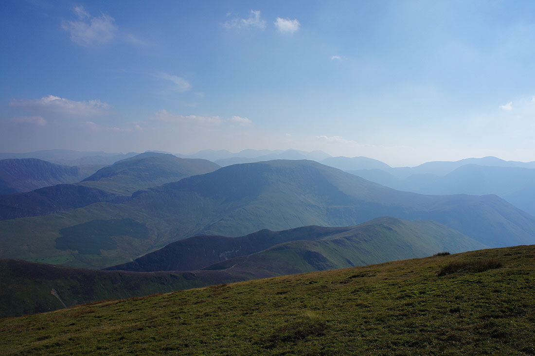
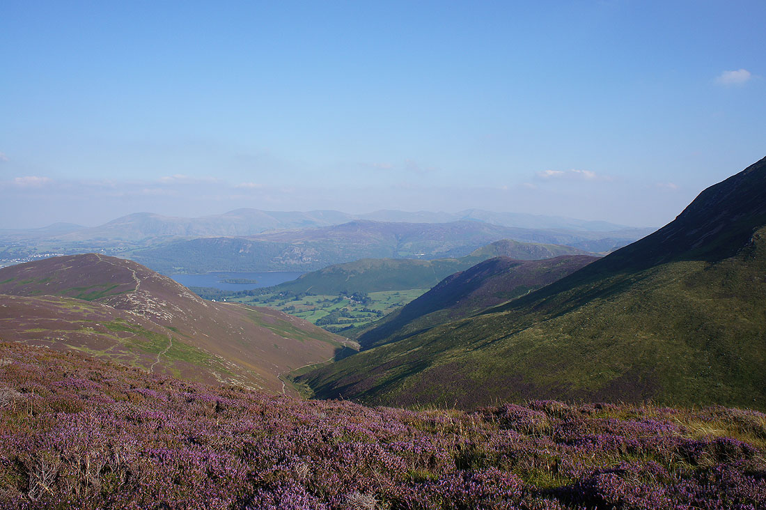
The great view to the east of ridge after ridge after ridge
Sail from the top of Addacomb Hole
Back on Eel Crag. Poor trig point. It's fallen off its foundations, at least some kind people have stood it up.
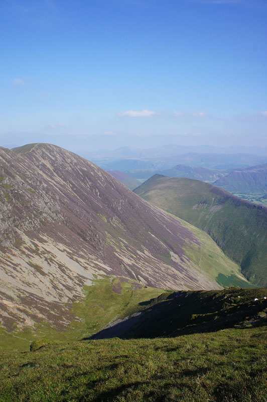
Whiteside and Hopegill Head
Grisedale Pike and the dramatic view down Coledale to Skiddaw and Blencathra
Sail below. It's time I was heading back down to it.
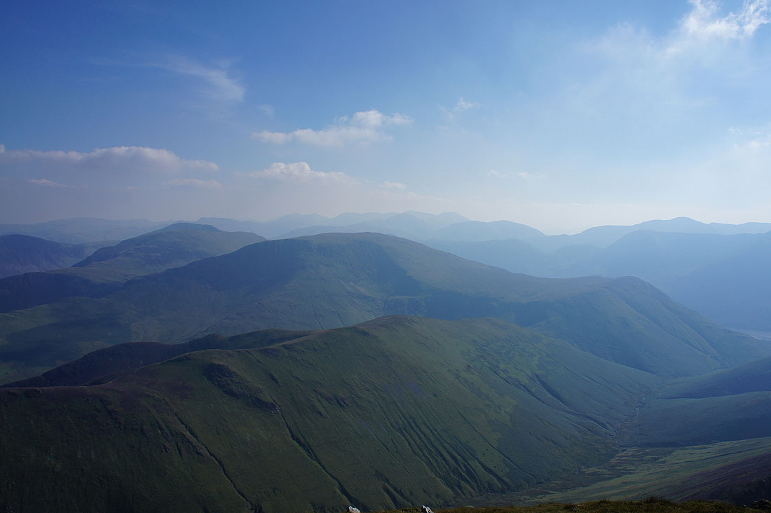
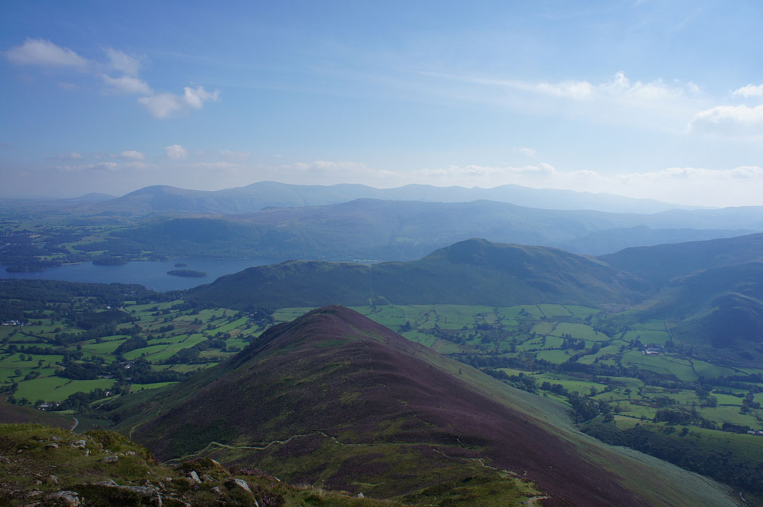
Dale Head, Robinson and the distant fells in the middle of the photo are Bowfell, Esk Pike and the Scafells
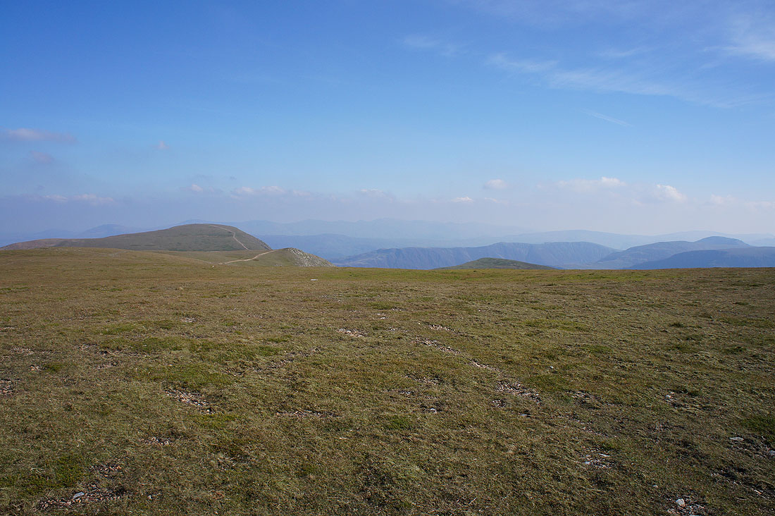
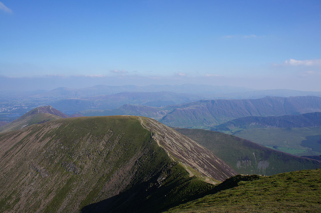
Grisedale Pike from the modest cairn on the flat top of Sail
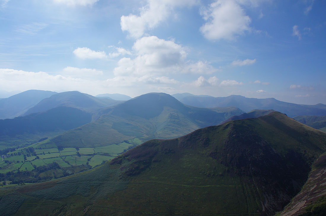
Dale Head and Robinson with the Ard Crags to Knott Rigg ridge just below
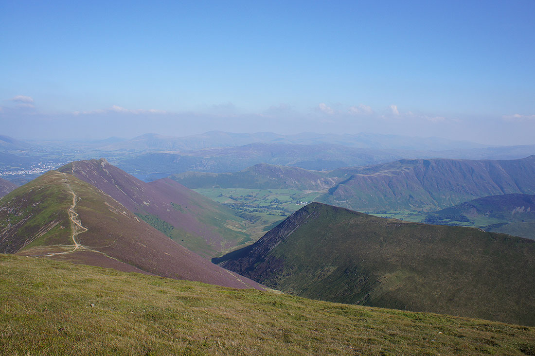
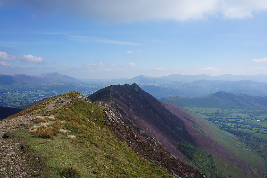
Scar Crags to Causey Pike on the left and I can now see a bit of the Newlands valley around Catbells and Maiden Moor
At Sail Pass I turned left and took the path to High Moss
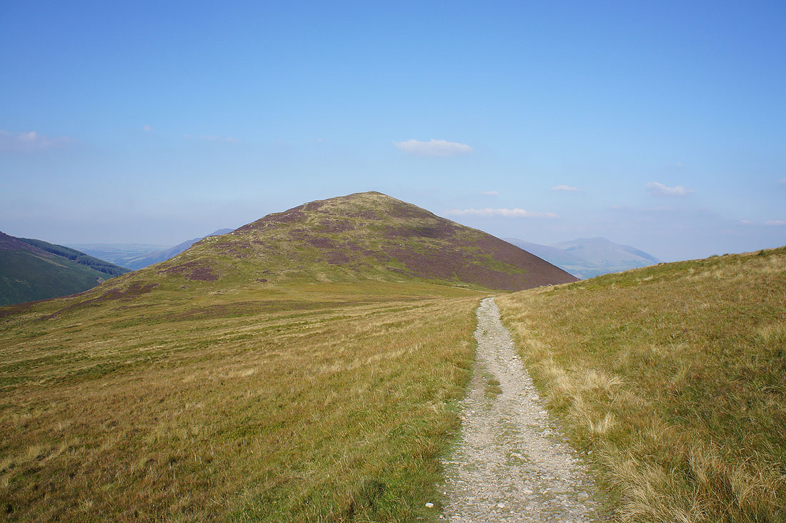
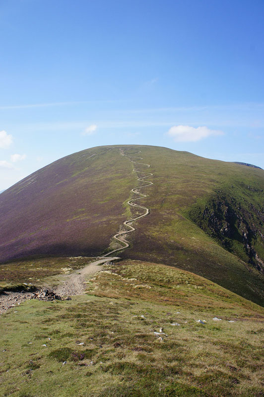
Outerside
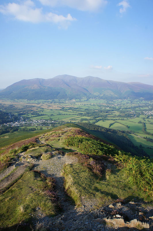
Grisedale Pike from the top of Outerside
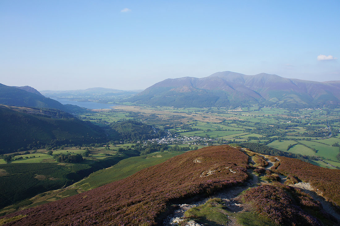
Skiddaw, Braithwaite, Blencathra and Keswick
I took a few shots from this hillside as I left Outerside and this was my favourite. The sight of Stonycroft Gill surrounded by heathery slopes caught my eye.
A fantastic display of heather as I cross Low Moss to Stile End
Barrow as I head for Barrow Door
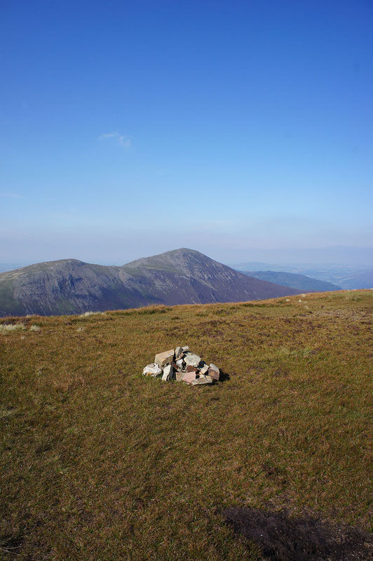
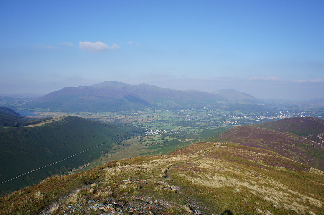
On the summit of Barrow, the final Wainwright of the day. I can see five of the Wainwrights I visited today. Causey Pike, Scar Crags, Sail, Eel Crag and Outerside.
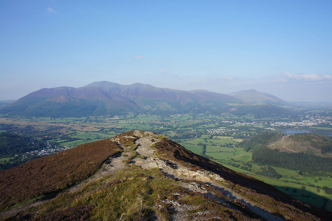
Skiddaw and Blencathra
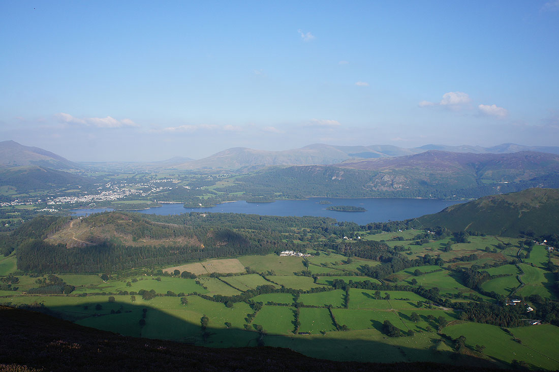
Keswick, Derwent Water, Walla Crag & Bleaberry Fell
Catbells with Maiden Moor, Dale Head and Robinson on the other side of Rowling End
Bassenthwaite Lake, Braithwaite and Skiddaw
Starting the descent of Barrow's north ridge
The final shot of the day is of Catbells on the other side of the Newlands valley. I can see where I'm staying from here.