10th September 2019 - Fremington Edge and Calver Hill
Walk Details
Distance walked: 14.1 miles
Total ascent: 2549 ft
OS map used: OL30 - Yorkshire Dales, Northern & Central areas
Time taken: 7 hrs
Route description: Reeth-Reeth Bridge-High Fremington-Marrick Priory-Marrick-Fremington Edge-Fell End-Storthwaite Hall-Booze-Langthwaite-High Green-Turf Moor-Fore Gill Gate-Cringley Hill-Calver Hill-Riddings Rigg-Skelgate Lane-Reeth
Swaledale is the only one of the major valleys of the Yorkshire Dales that I don't really know. My only visit to the dale was back in 2010 when I did Great Shunner Fell and Lovely Seat from Thwaite. Since then I'd considered it to be too far away for a day trip, and even after moving home earlier this year I still think it's a bit too far. So I've decided to get to know the area a bit better by taking a short break and booking four nights at a guest house in Reeth. Literally days after I'd made the booking, the flooding in Arkengarthdale and Swaledale happened. I was half expecting to be contacted to be told that where I was staying had been flooded and that I'd have to find somewhere else. I needn't have worried. Most of the damage had occurred in areas down by Arkle Beck and the River Swale. Reeth sits on the hillside above both. I did see plenty of evidence of the flooding when I was near Arkle Beck in Arkengarthdale however. The weather forecast for my stay is changeable and I'm not expecting it to stay dry. Today should be dry though, and after yesterday's rain it's an improving picture with the cloud breaking up to give sunny spells, but becoming increasingly windy during the afternoon ahead of more rain overnight. The route I have planned for today is a pretty long one taking in Fremington Edge and Calver Hill, which are on opposite sides of Arkengarthdale, and since I'm starting from Reeth I don't have to drive anywhere. It was a really enjoyable walk with some great moorland scenery, especially during the afternoon as it brightened up.
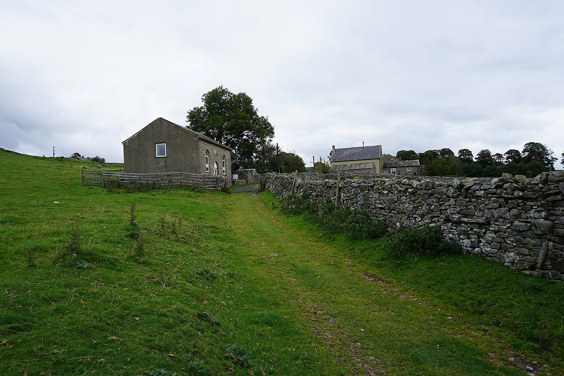
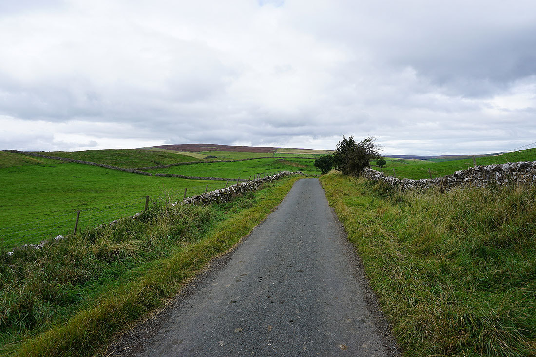
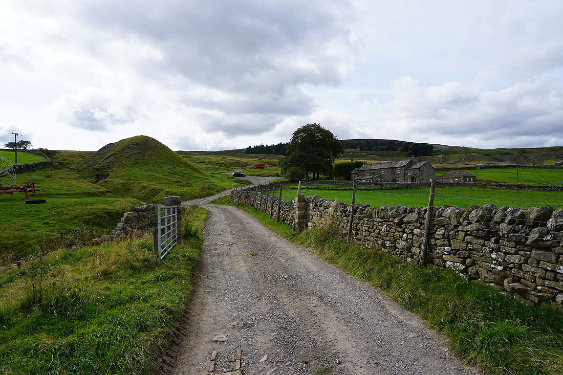
From Reeth I set off by walking down the main road to Reeth Bridge over Arkle Beck, crossing it and then following a footpath east across fields to High Fremington. After making my way through High Fremington I continued on a footpath east to reach the Fremington to Marske road. I then walked down the road, turned left and followed the road to Marrick Priory, then took the footpath up through Steps Wood to the hamlet of Marrick. I kept left as I walked along the lane through Marrick and took the road northwest up to the Fremington to Marske road, which I crossed to reach the footpath to Fremington Edge. I then made my way northwest along Fremington Edge (crossing to the western side of the wall along its top as soon as I was able to), with a stop for lunch, all the way to its northern end, where I took the bridleway down to Storthwaite Hall. From Storthwaite Hall I crossed the ford over Slei Gill, took the footpath up to the hamlet of Booze and then walked down the lane to Langthwaite, where after crossing the bridge over Arkle Beck and the road up through the dale, I followed the bridleway from High Green up to access land and the road south to Fore Gill Gate. After walking south along the road to Fore Gill Gate I took the bridleway east along the side of Cringley Hill, then the bridleway south across the gap between Cringley Hill and Calver Hill. At its top I left the bridleway and made my way up to the summit of Calver Hill. Once I'd taken in the view I made my way down by taking a path through the heather on Riddings Rigg to reach a footpath above Riddings Farm, which I followed east to take the track of Skelgate Lane. At the bottom of Skelgate Lane I turned left for a short walk back into Reeth.
Total ascent: 2549 ft
OS map used: OL30 - Yorkshire Dales, Northern & Central areas
Time taken: 7 hrs
Route description: Reeth-Reeth Bridge-High Fremington-Marrick Priory-Marrick-Fremington Edge-Fell End-Storthwaite Hall-Booze-Langthwaite-High Green-Turf Moor-Fore Gill Gate-Cringley Hill-Calver Hill-Riddings Rigg-Skelgate Lane-Reeth
Swaledale is the only one of the major valleys of the Yorkshire Dales that I don't really know. My only visit to the dale was back in 2010 when I did Great Shunner Fell and Lovely Seat from Thwaite. Since then I'd considered it to be too far away for a day trip, and even after moving home earlier this year I still think it's a bit too far. So I've decided to get to know the area a bit better by taking a short break and booking four nights at a guest house in Reeth. Literally days after I'd made the booking, the flooding in Arkengarthdale and Swaledale happened. I was half expecting to be contacted to be told that where I was staying had been flooded and that I'd have to find somewhere else. I needn't have worried. Most of the damage had occurred in areas down by Arkle Beck and the River Swale. Reeth sits on the hillside above both. I did see plenty of evidence of the flooding when I was near Arkle Beck in Arkengarthdale however. The weather forecast for my stay is changeable and I'm not expecting it to stay dry. Today should be dry though, and after yesterday's rain it's an improving picture with the cloud breaking up to give sunny spells, but becoming increasingly windy during the afternoon ahead of more rain overnight. The route I have planned for today is a pretty long one taking in Fremington Edge and Calver Hill, which are on opposite sides of Arkengarthdale, and since I'm starting from Reeth I don't have to drive anywhere. It was a really enjoyable walk with some great moorland scenery, especially during the afternoon as it brightened up.
From Reeth I set off by walking down the main road to Reeth Bridge over Arkle Beck, crossing it and then following a footpath east across fields to High Fremington. After making my way through High Fremington I continued on a footpath east to reach the Fremington to Marske road. I then walked down the road, turned left and followed the road to Marrick Priory, then took the footpath up through Steps Wood to the hamlet of Marrick. I kept left as I walked along the lane through Marrick and took the road northwest up to the Fremington to Marske road, which I crossed to reach the footpath to Fremington Edge. I then made my way northwest along Fremington Edge (crossing to the western side of the wall along its top as soon as I was able to), with a stop for lunch, all the way to its northern end, where I took the bridleway down to Storthwaite Hall. From Storthwaite Hall I crossed the ford over Slei Gill, took the footpath up to the hamlet of Booze and then walked down the lane to Langthwaite, where after crossing the bridge over Arkle Beck and the road up through the dale, I followed the bridleway from High Green up to access land and the road south to Fore Gill Gate. After walking south along the road to Fore Gill Gate I took the bridleway east along the side of Cringley Hill, then the bridleway south across the gap between Cringley Hill and Calver Hill. At its top I left the bridleway and made my way up to the summit of Calver Hill. Once I'd taken in the view I made my way down by taking a path through the heather on Riddings Rigg to reach a footpath above Riddings Farm, which I followed east to take the track of Skelgate Lane. At the bottom of Skelgate Lane I turned left for a short walk back into Reeth.
Route map

© Crown copyright. All rights reserved. License number PU 100034184.
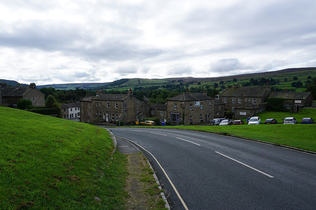
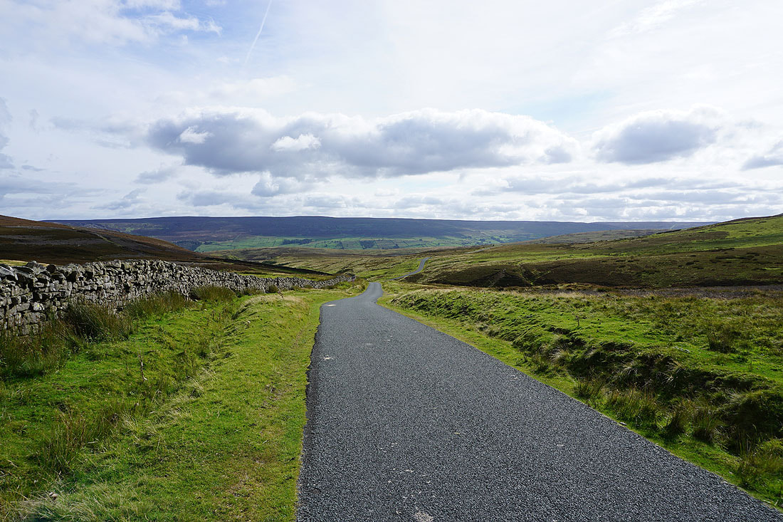
I leave Reeth behind by walking down the road to Reeth Bridge
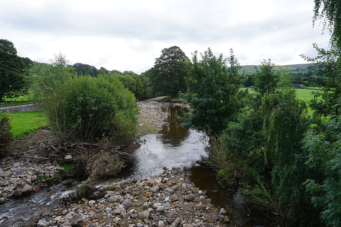
Arkle Beck from Reeth Bridge. The debris is a result of the flooding in this part of Swaledale at the end of July.
Fremington Edge as I follow the path to High Fremington
Looking back to Reeth with Calver Hill behind
and across Swaledale to Harkerside Moor
From High Fremington I take a path east across fields towards Marrick Priory
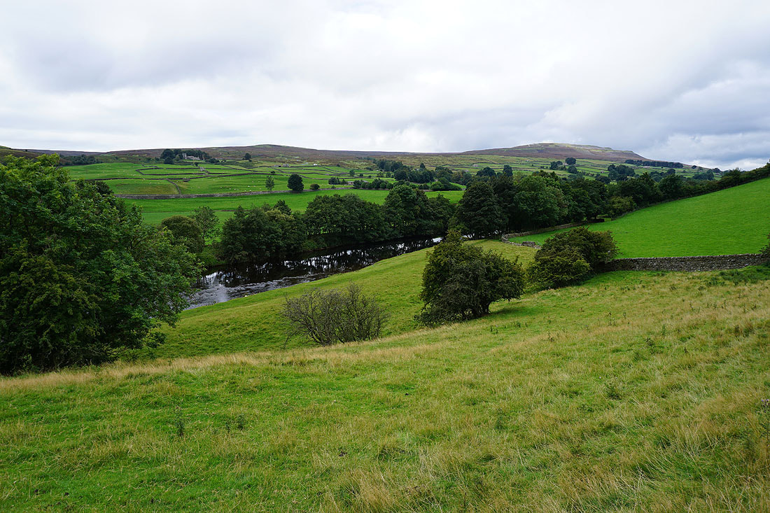
The River Swale below
Looking back to Calver Hill as I walk along the road to Marrick Priory
|
|
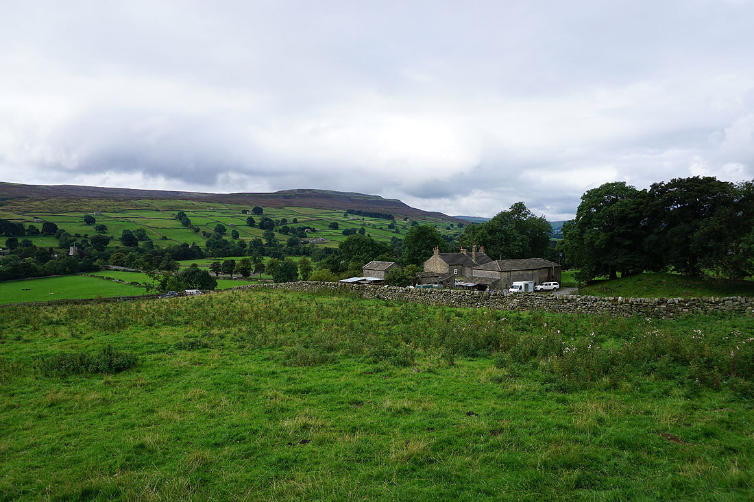
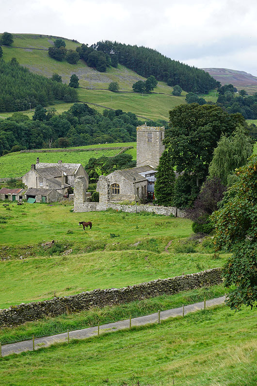
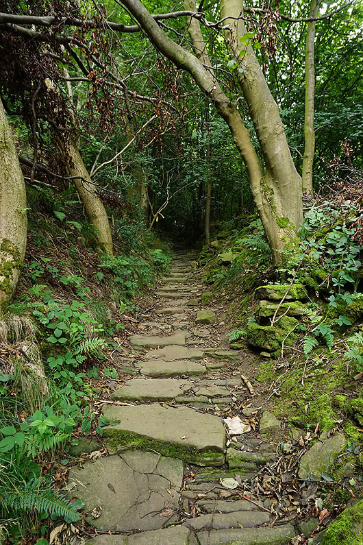
Looking down on Marrick Priory as I take the path up through Steps Wood to Marrick
Arriving in the hamlet of Marrick
I leave Marrick on the lane that heads northwest out of the hamlet
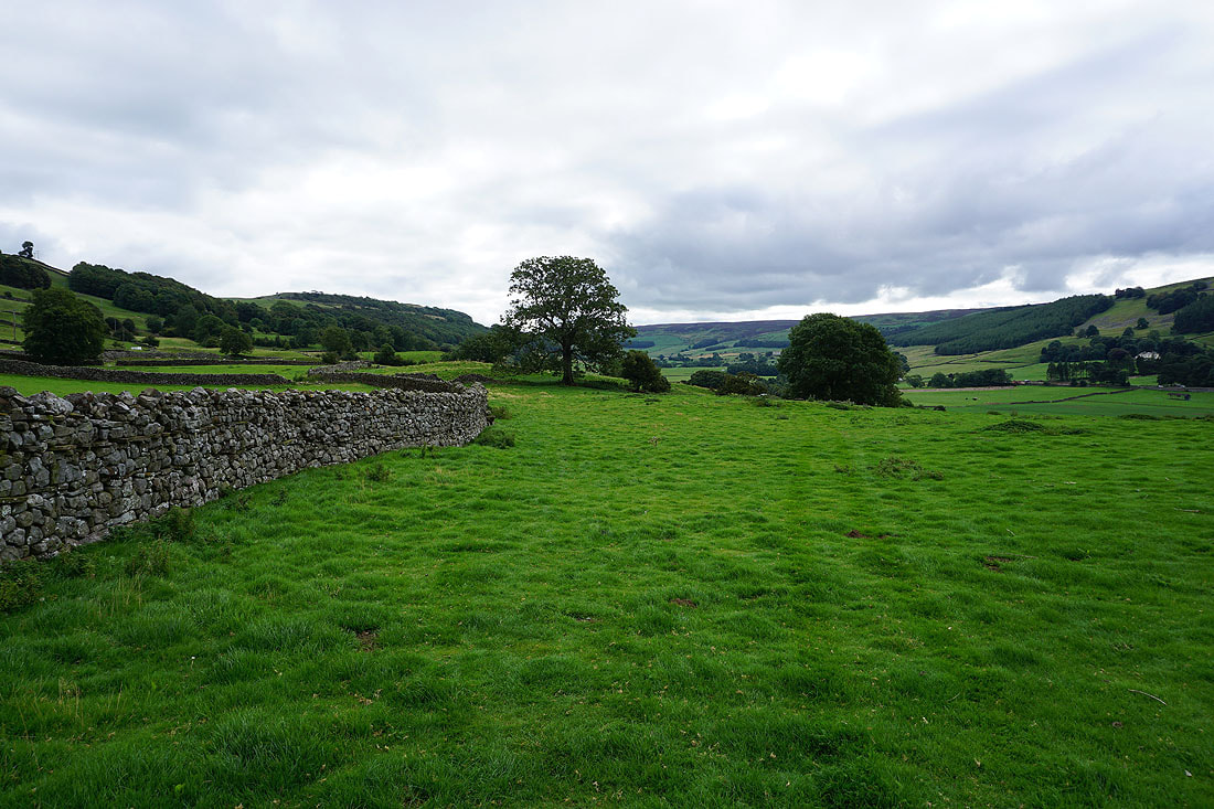
Swaledale countryside
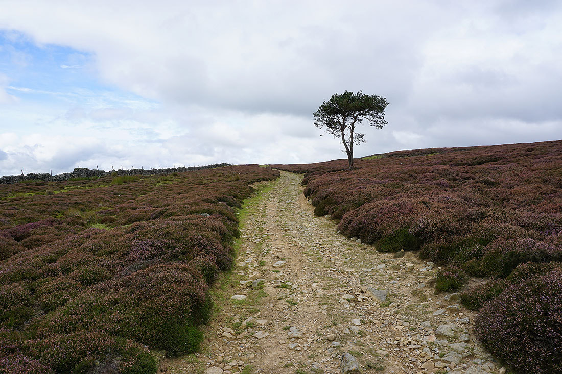
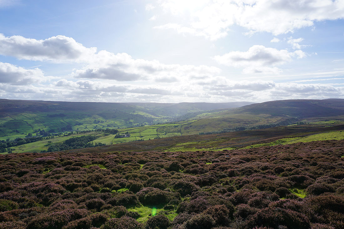
On the path to Fremington Edge after crossing the Fremington to Marske road. There would have been a fine display from all this heather a few weeks ago.
As I get closer to Fremington Edge I get a glimpse of Reeth and the view up Swaledale
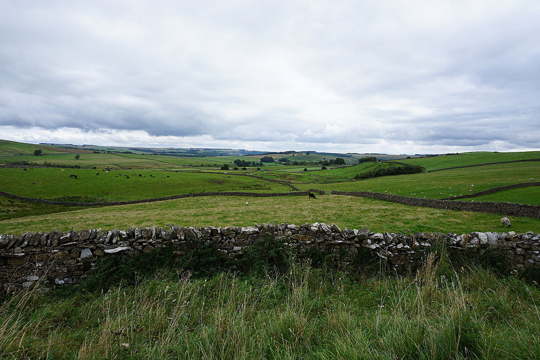
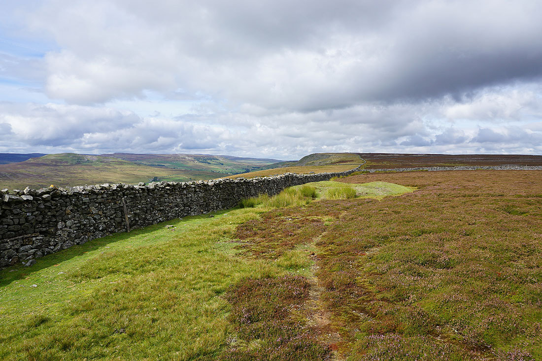
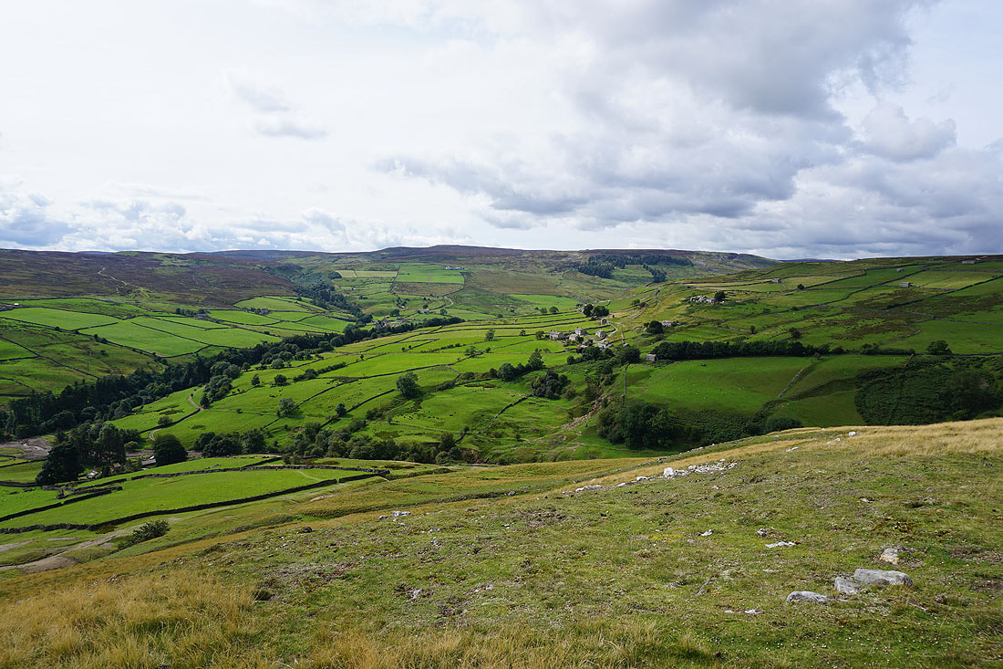
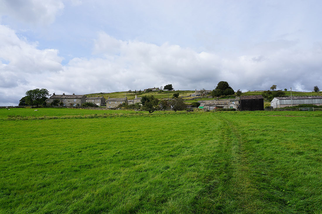
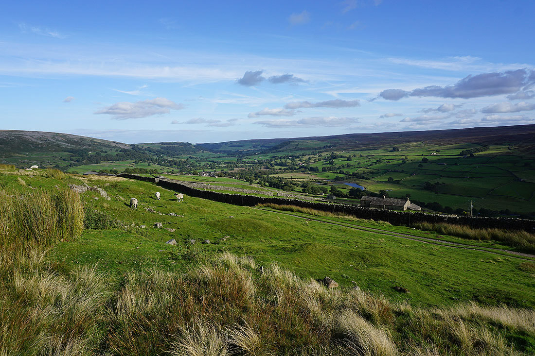
On Fremington Edge. Swaledale is on the left and Arkengarthdale on the right with Calver Hill in the middle
Heading along Fremington Edge
A bit further on and I have a much better view of Swaledale and across Arkengarthdale to Calver Hill, now that I can get on the other side of the wall
Reeth with Harkerside Moor beyond
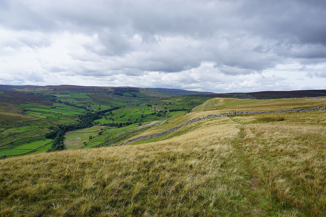
Looking back along Fremington Edge
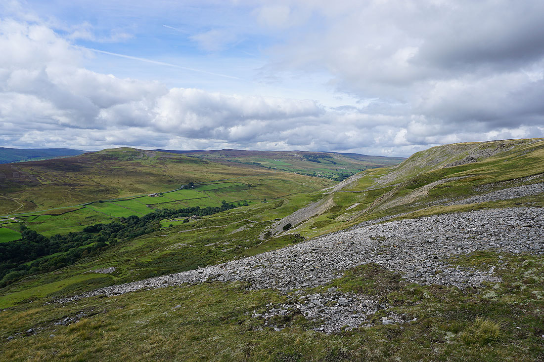
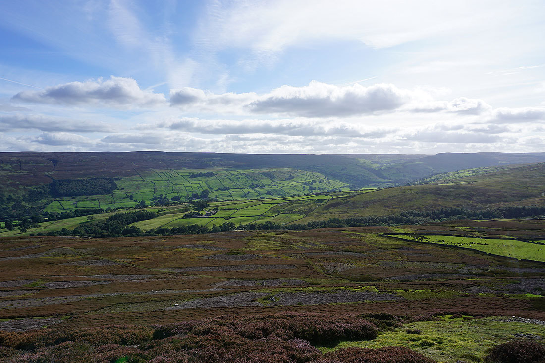
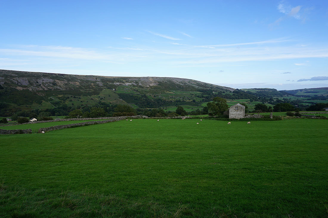
Calver Hill, Reeth High Moor, Great Pinseat and Arkengarthdale
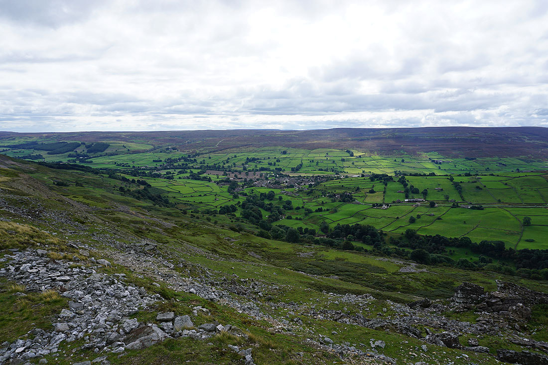
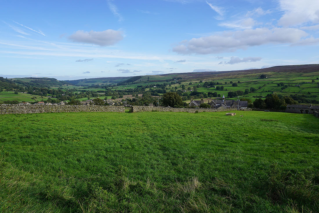
Looking down Arkengarthdale to Reeth with Grinton Moor and Harkerside Moor on the other side of Swaledale
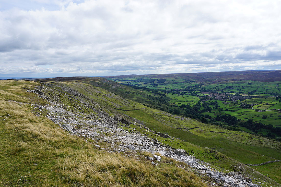
Looking back along Fremington Edge
The view up Arkengarthdale improves as I make my way along the edge....
The dark, heather covered moorland of Peat Moor Hill to the north
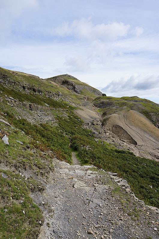
Fremington Edge comes to an end as I descend..
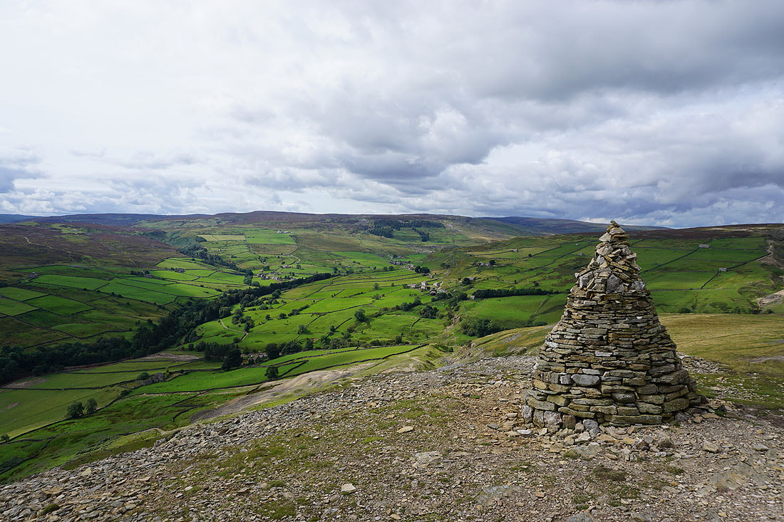
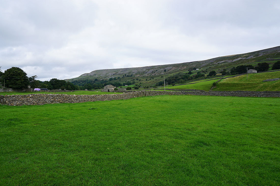
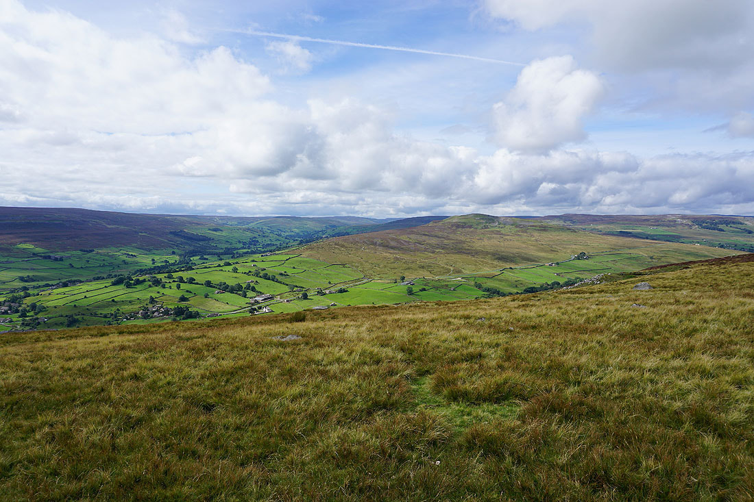
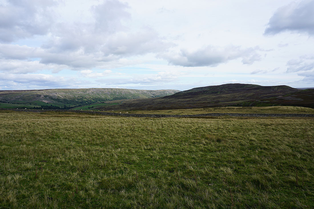
..to the cairn on Fell End and a great view of Arkengarthdale. The hamlet of Booze is on the opposite hillside with Great Pinseat, Whaw Moor and Arkengarthdale Moor on the other side of the dale.
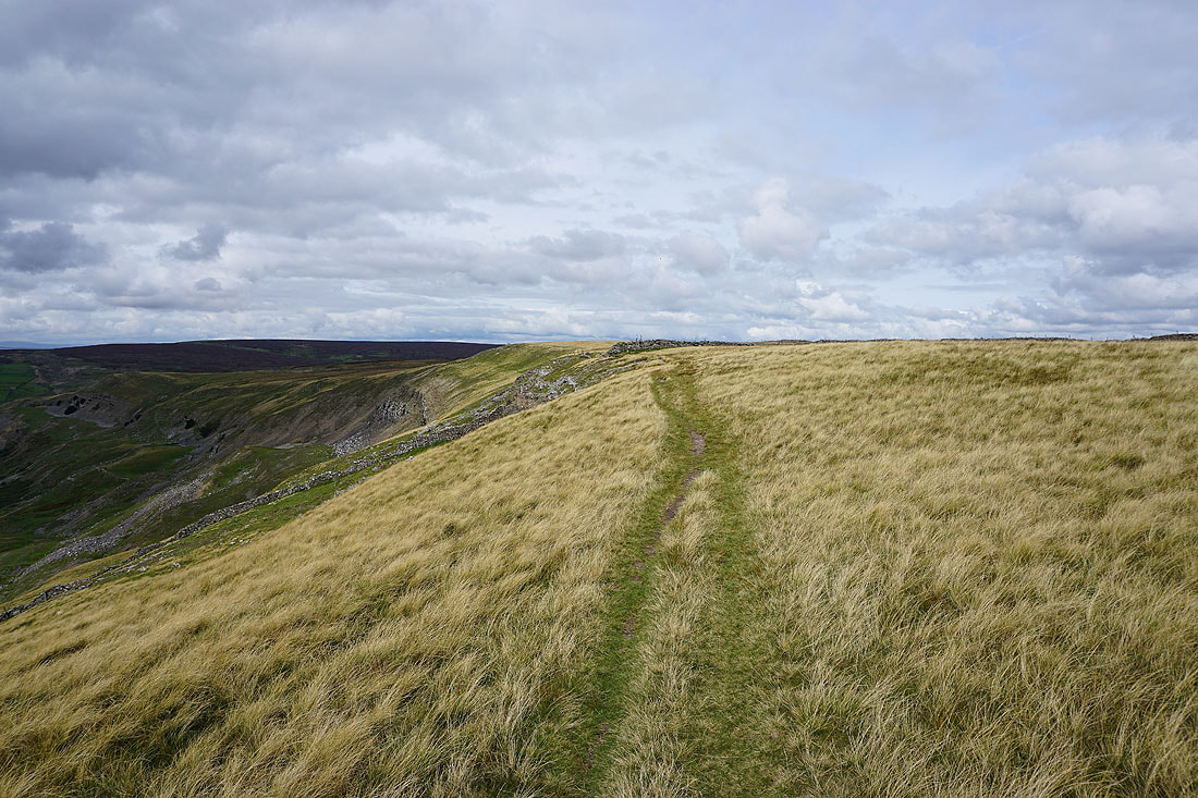
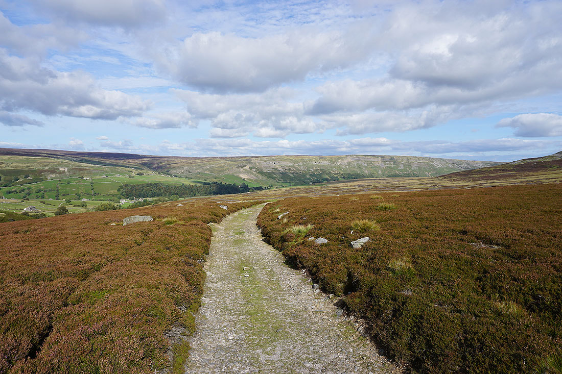
Looking south along Fremington Edge
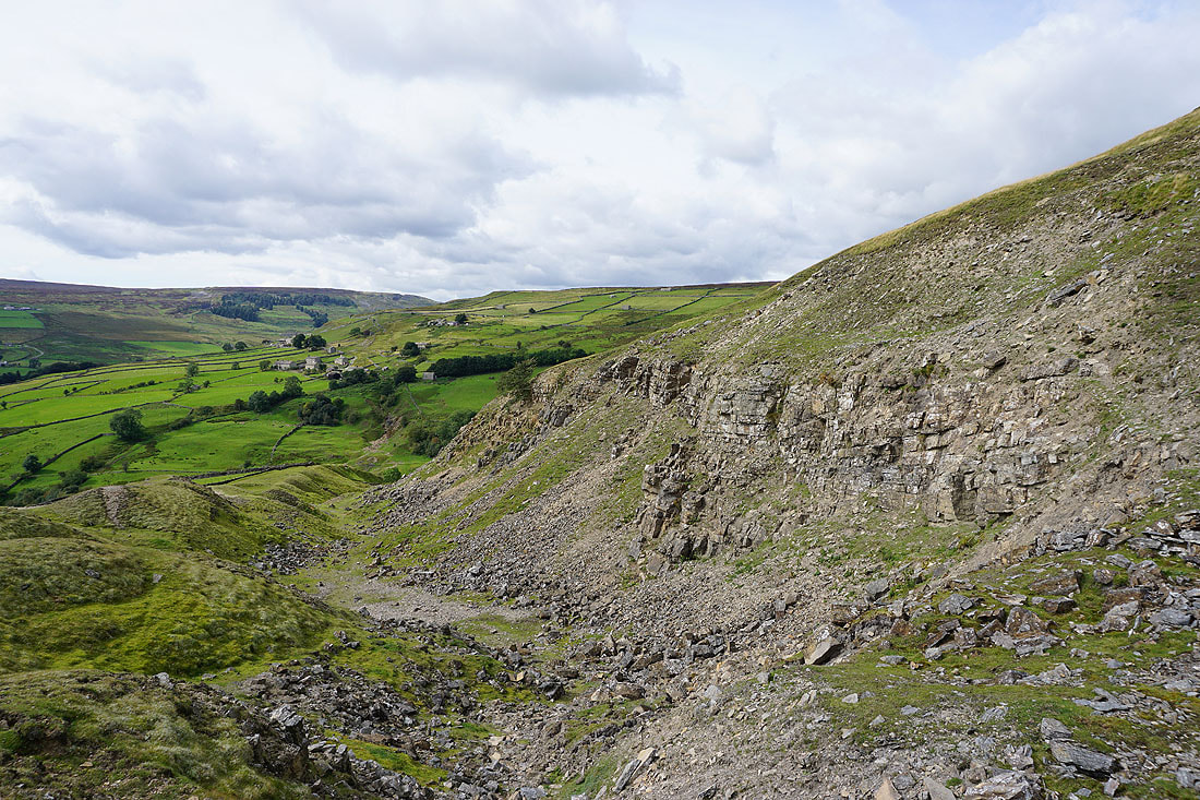
The bridleway down into Slei Gill is marked with cairns and posts. The scar of North Rake Hush on the opposite hillside is hard to miss.
Arkengarthdale with Booze on the other side of Slei Gill
Making my way down through the disused Fell End Lead Mine..
Looking down Arkengarthdale..
..as I head up to Booze
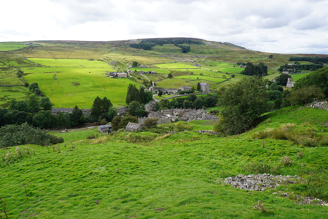
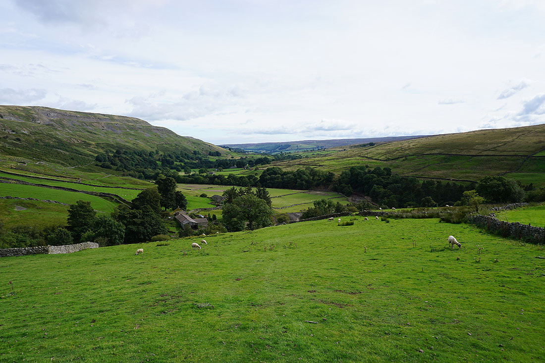
Langthwaite below
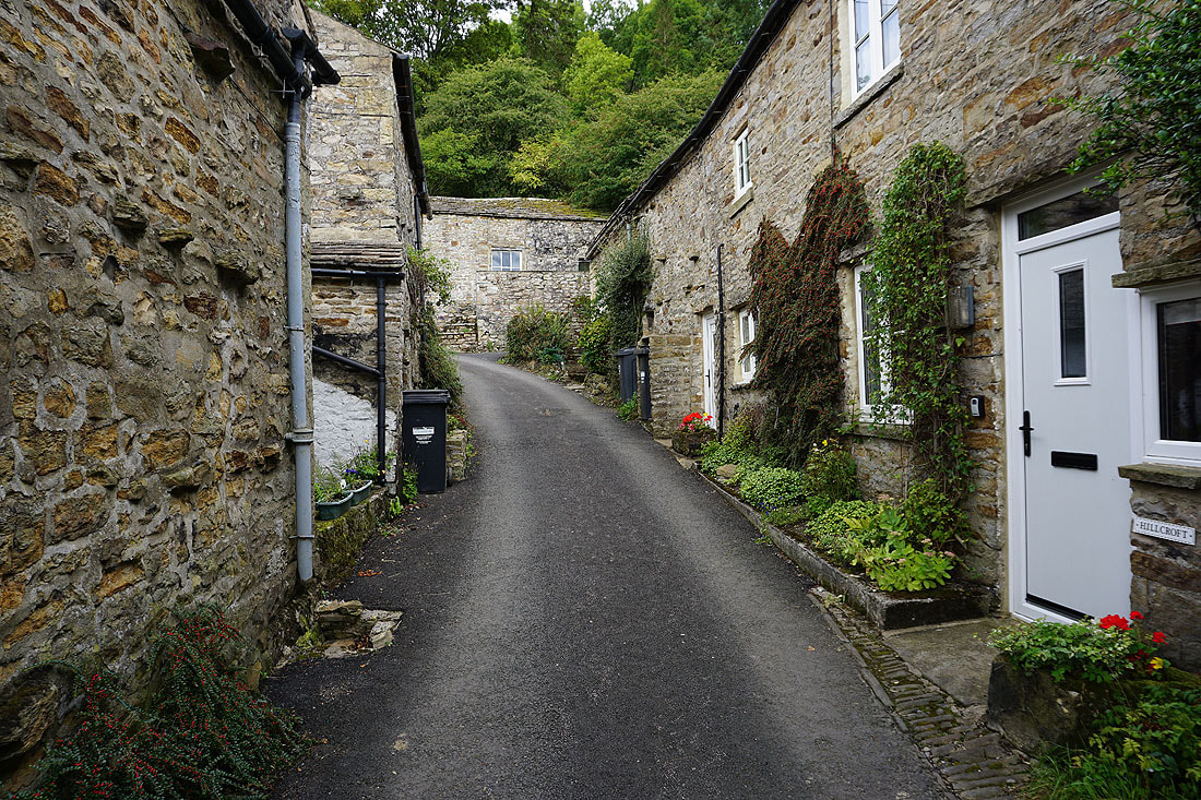
Langthwaite's narrow streets
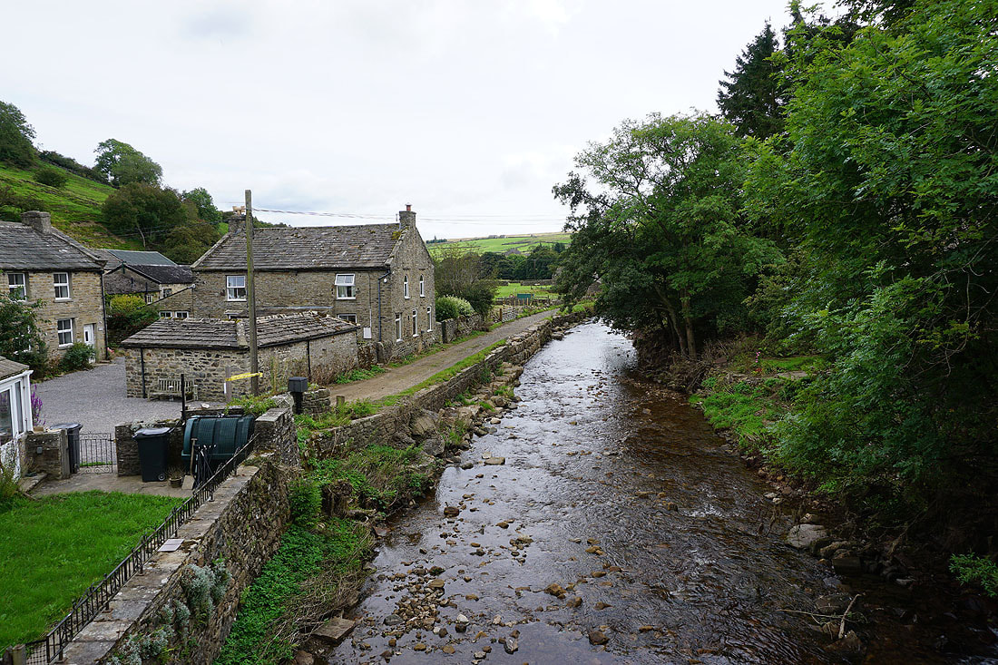
Crossing Arkle Beck
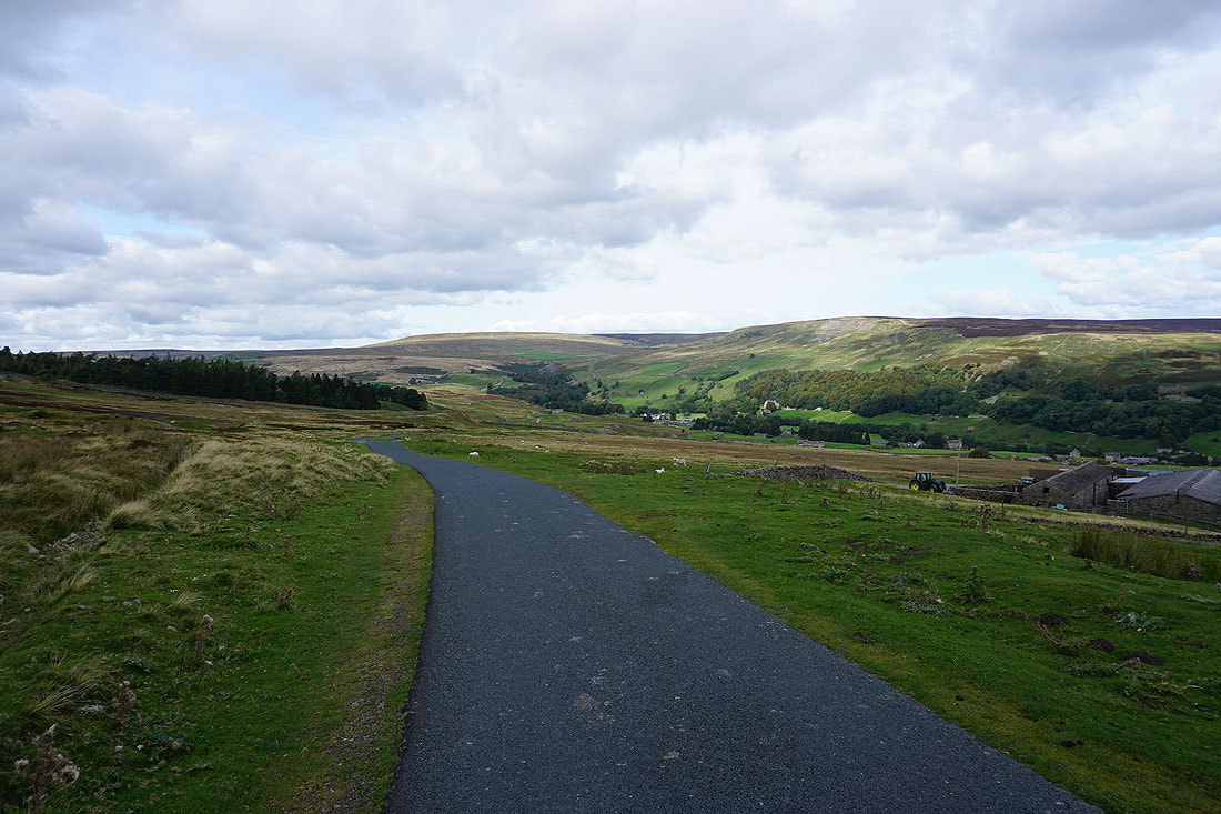
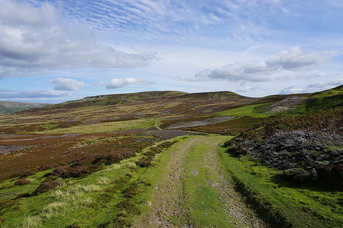
After crossing the main road up Arkengarthdale I take the bridleway from High Green up onto the moors
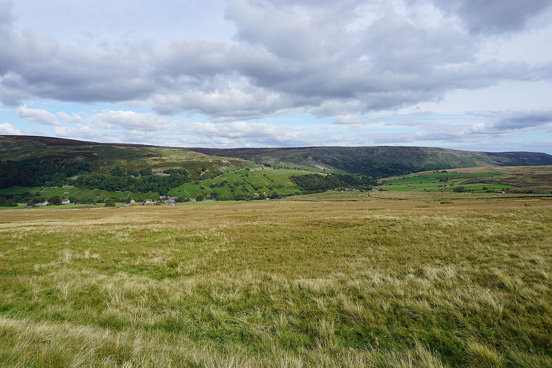
Low Moor and Fremington Edge on the other side of Arkengarthdale from the road across Turf Moor
Hoove and Peat Moor Hill
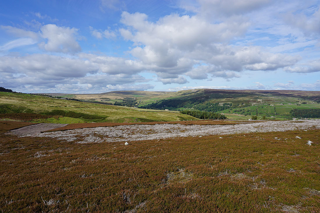
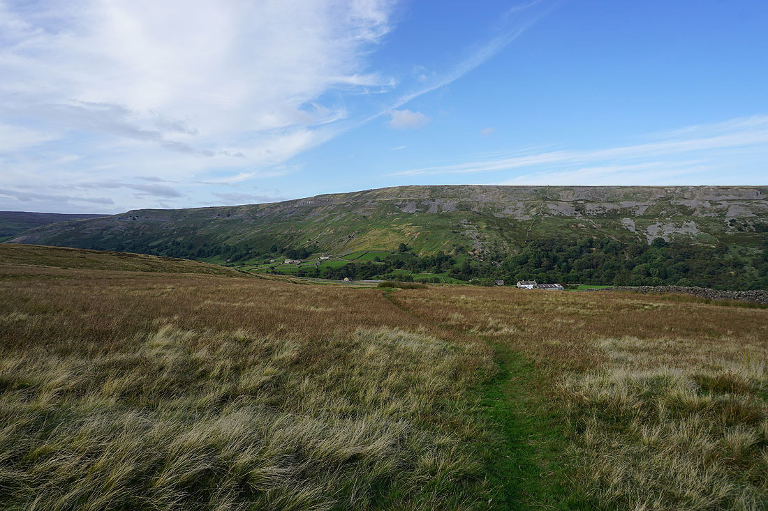
Fremington Edge and Calver Hill
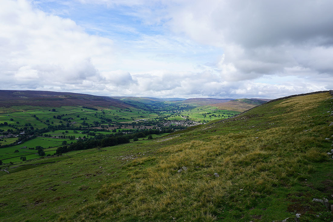
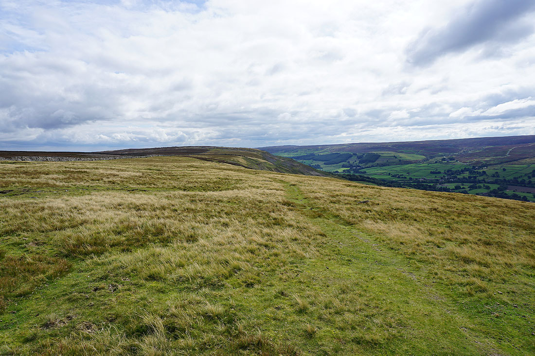
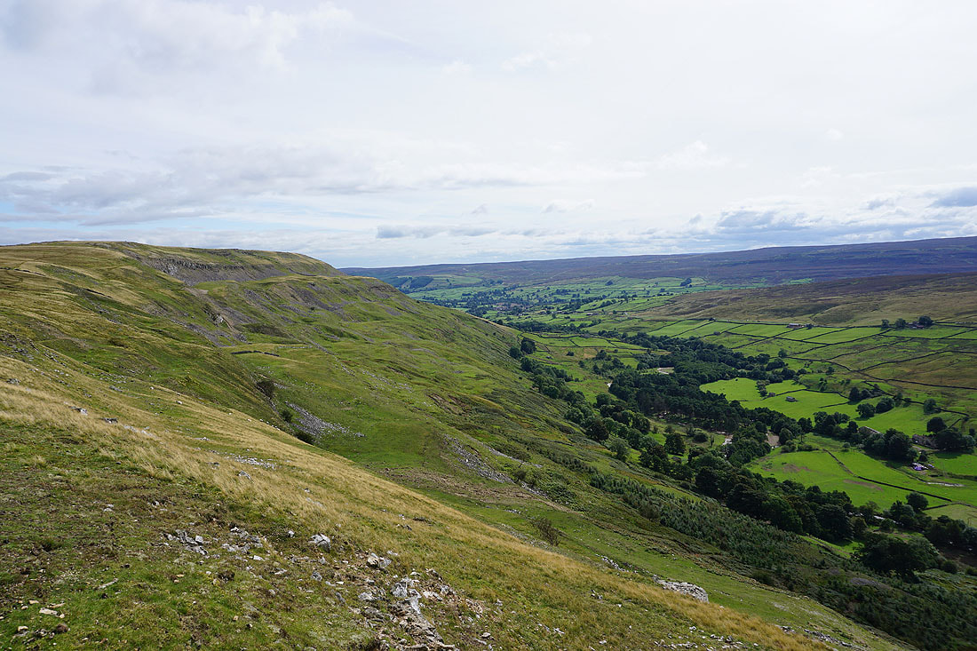
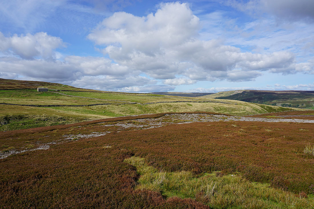
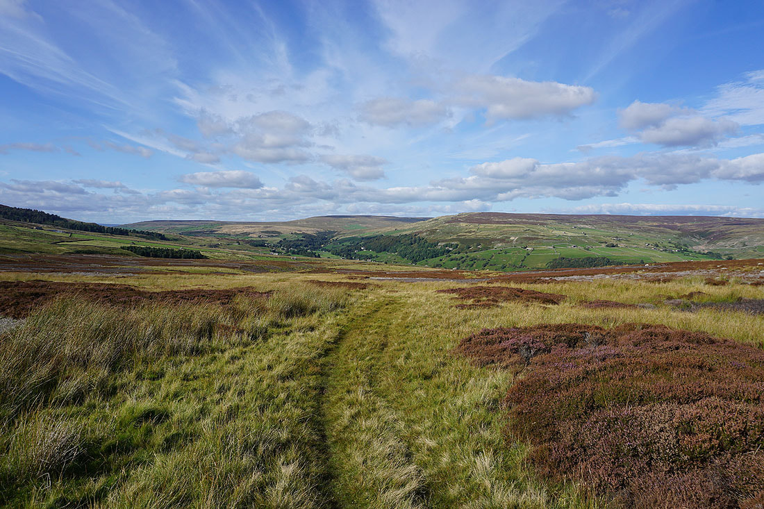
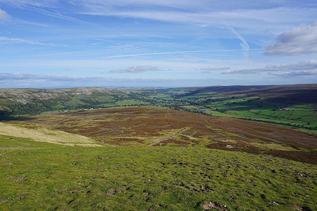
Heading down to Fore Gill Gate and the view opens up to the south across Swaledale to High Carl
Looking back to Reeth High Moor and Bleaberry Gill..
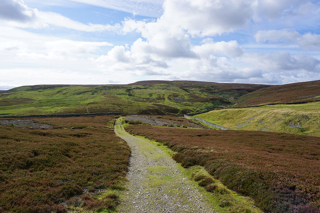
..as I follow the bridleway east around Cringley Hill
The moors around Arkengarthdale look great in the afternoon sunshine..
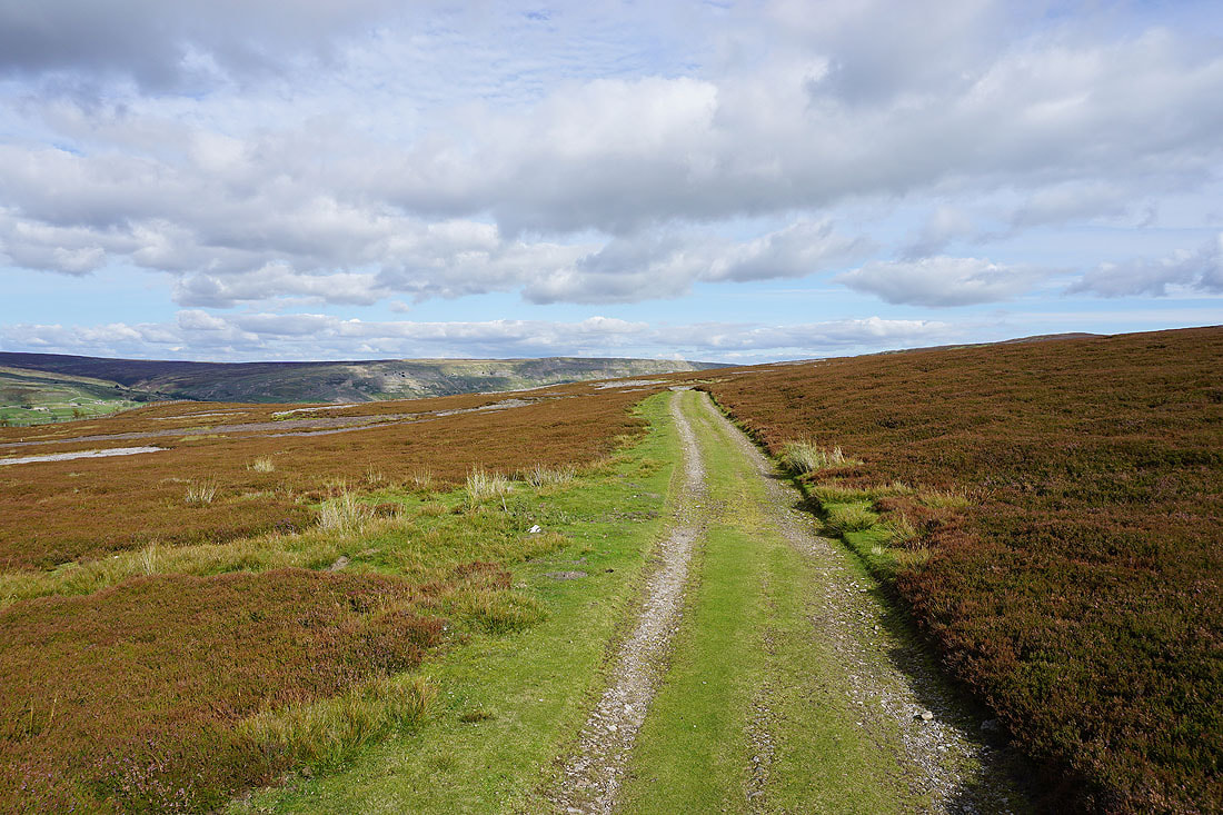
Low Moor, Slei Gill and Fremington Edge appear ahead
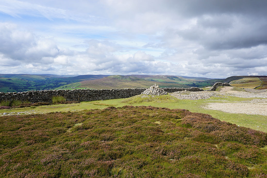
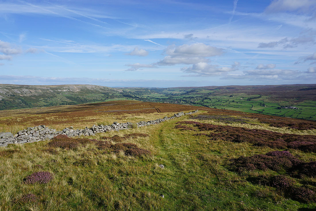
Calver Hill. I'll soon leave this bridleway for another on the right that heads south across the gap between Calver Hill and Cringley Hill.
Looking back to Cleasby Hill, Hoove and Peat Moor Hill on the eastern side of Arkengarthdale
As I reach the top of the bridleway I get a view across Swaledale to Whitaside Moor and Summer Lodge Moor
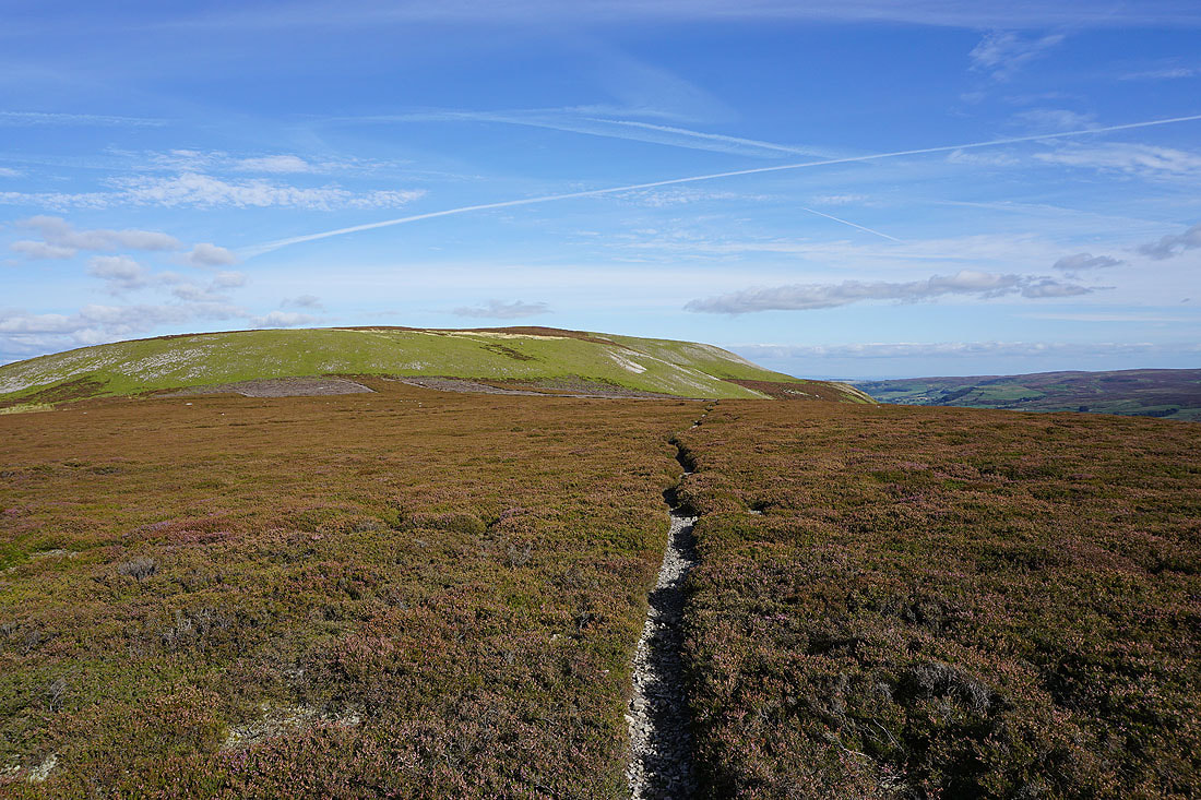
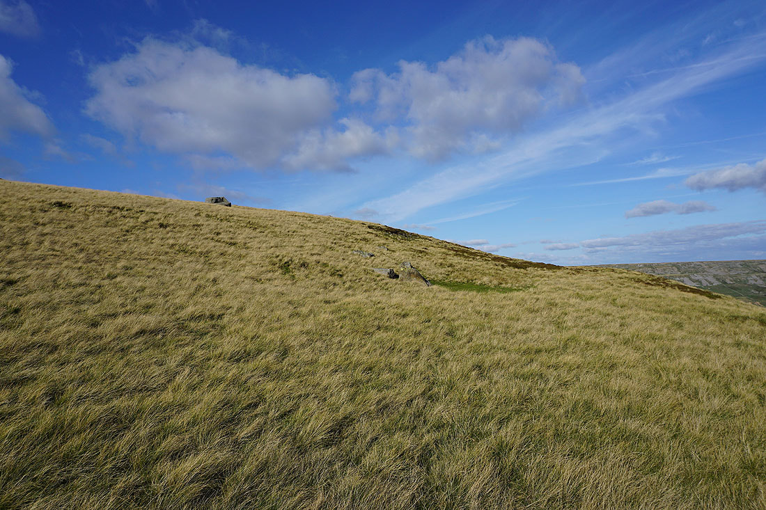
Heading for Calver Hill
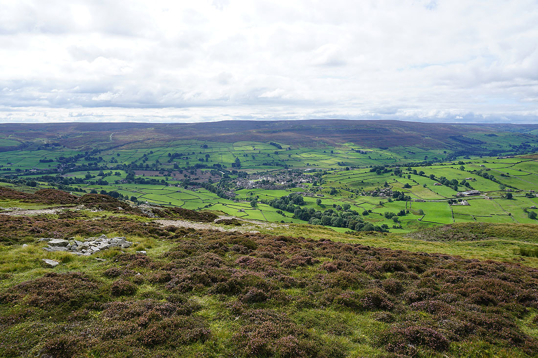
Looking up Swaledale as I reach Calver Hill
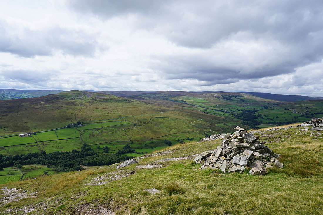
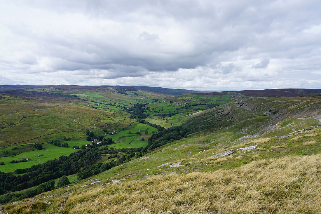
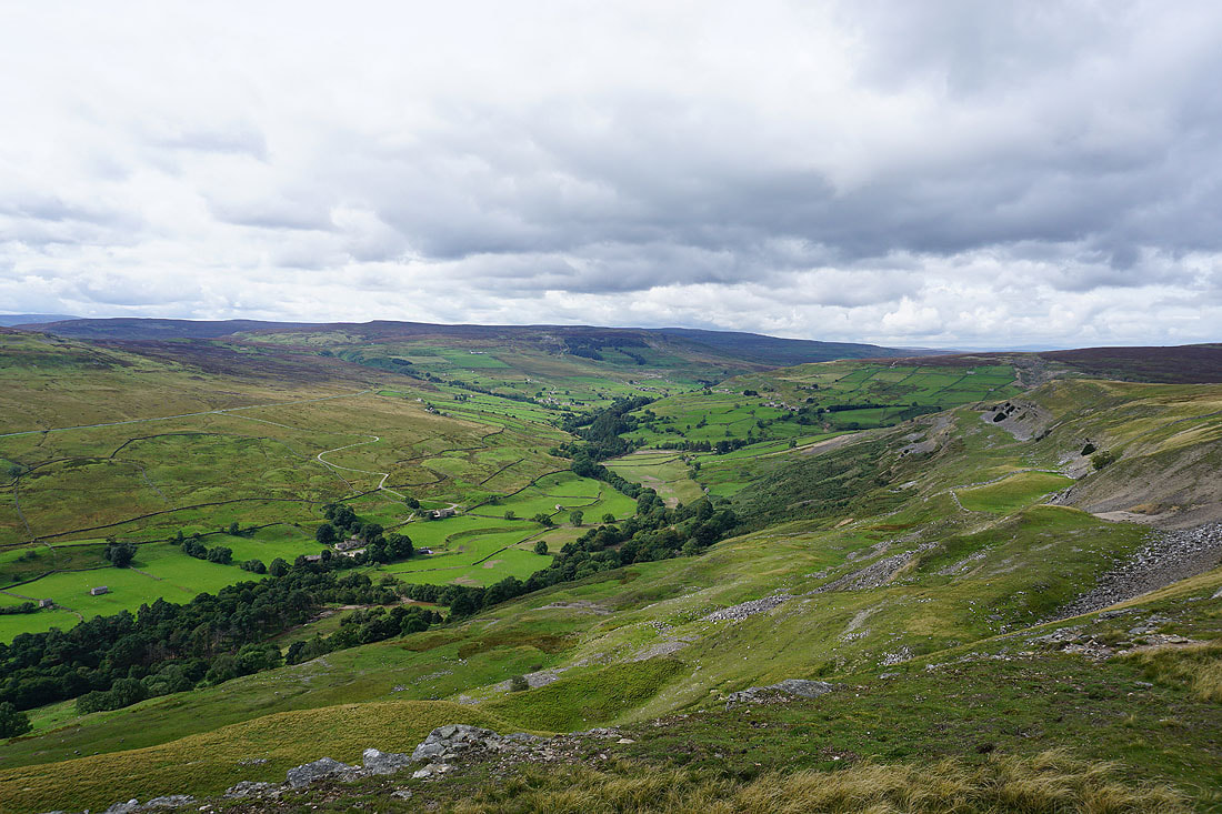
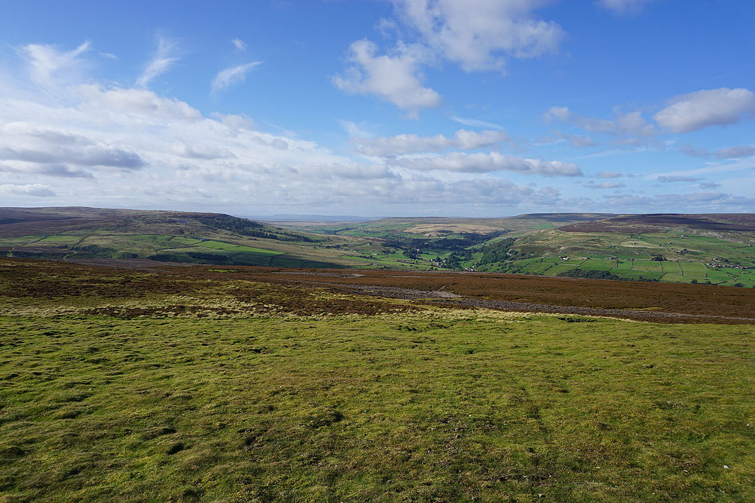
Fremington Edge and Arkengarthdale on the left, with Swaledale on the right. The moorland of Riddings Rigg below will be my route back down to Reeth.
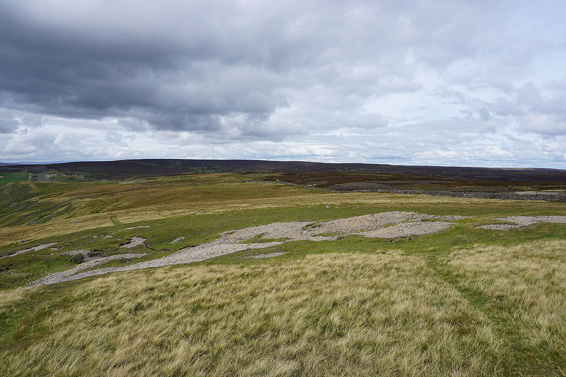
To the north, the moorland around Arkengarthdale, with the North Pennines visible through the gap at the top of the valley
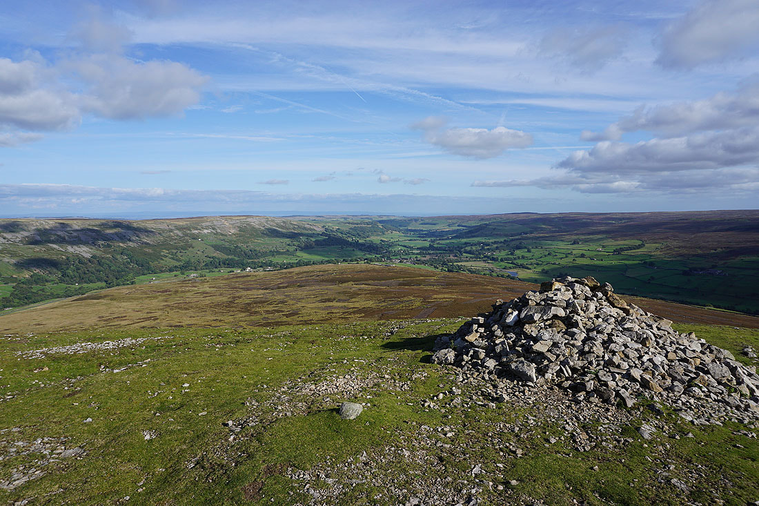
Fremington Edge, Arkengarthdale, Swaledale and Grinton Moor from the summit cairn
Late afternoon light on the moor
Making my way down Riddings Rigg
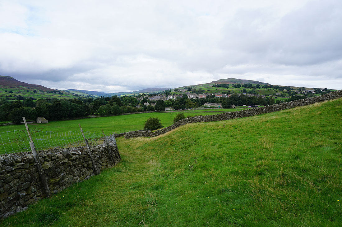
Swaledale as I reach the path above Riddings Farm
Fremington Edge..
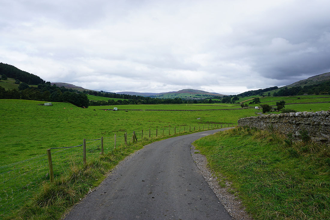
The roofs of Reeth beckon