11th April 2009 - A walk along the High Stile ridge
Walk Details
Distance walked: 13.2 miles
Total ascent: 3938 ft
OS map used: OL4 - The English Lakes, North-western area
Time taken: 8 hrs
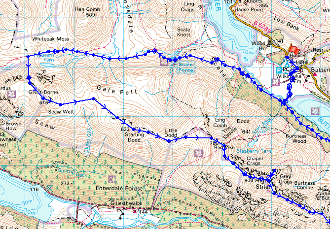
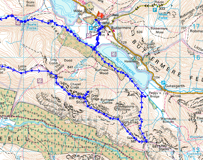
Route description: Buttermere-Scales-Scale Force-Floutern Pass-Steel Brow-Great Borne-Starling Dodd-Red Pike-High Stile-High Crag-Gamlin End-Seat-Scarth Gap Pass-Burtness Wood-Buttermere
I started this long walk along the High Stile ridge from Buttermere. I left the village and took the path to the other side of the lake and Burtness Wood where I turned right to head for Scale Force. I passed Scale Force and continued on the path to Floutern Pass where I ascended Steel Brow to begin my ridge walk. From Great Borne I visited the summits of Starling Dodd, Red Pike, High Stile, High Crag and Seat before I descended from the Scarth Gap Pass to walk along the south side of Buttermere and back to the village.
Route map
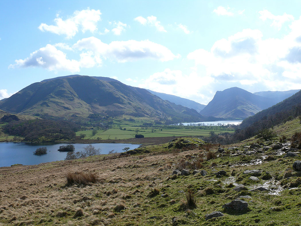
Grasmoor and Fleetwith Pike from the path above Crummock Water to Scale Force
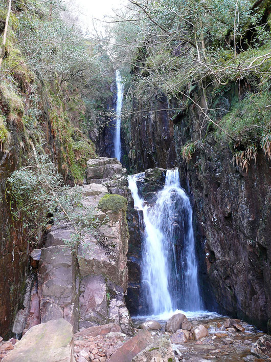
Scale Force
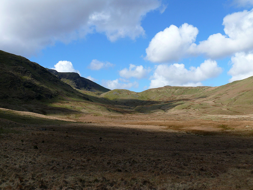
Heading for the Floutern Pass
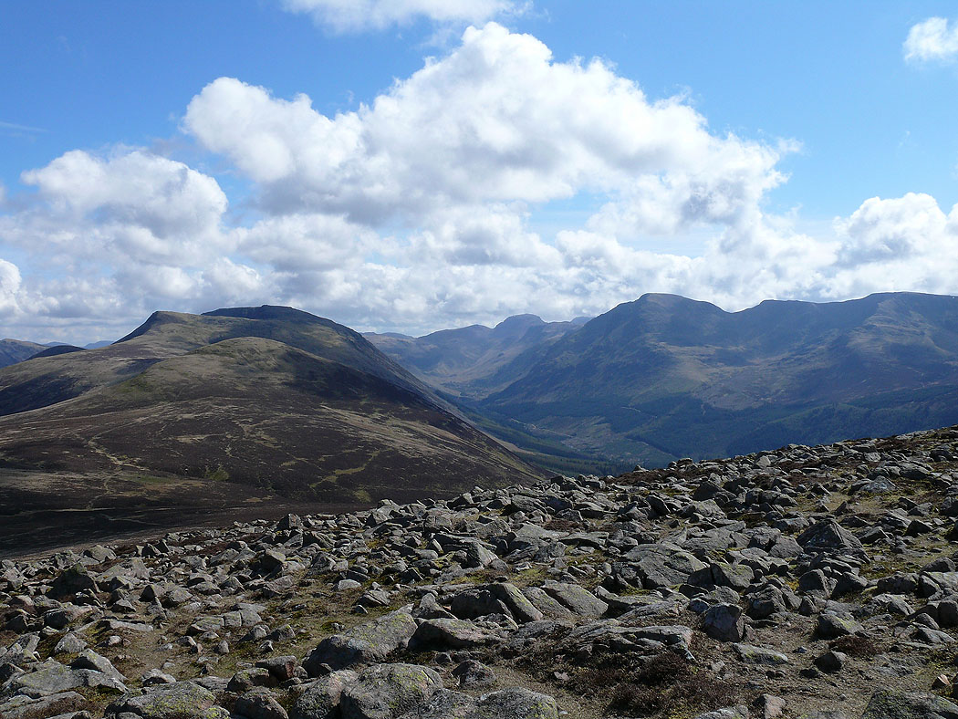
At the top of the climb up Steel Brow. Hen Comb, Mellbreak and Grasmoor.
Floutern Cop, White Oak Moss and Hen Comb
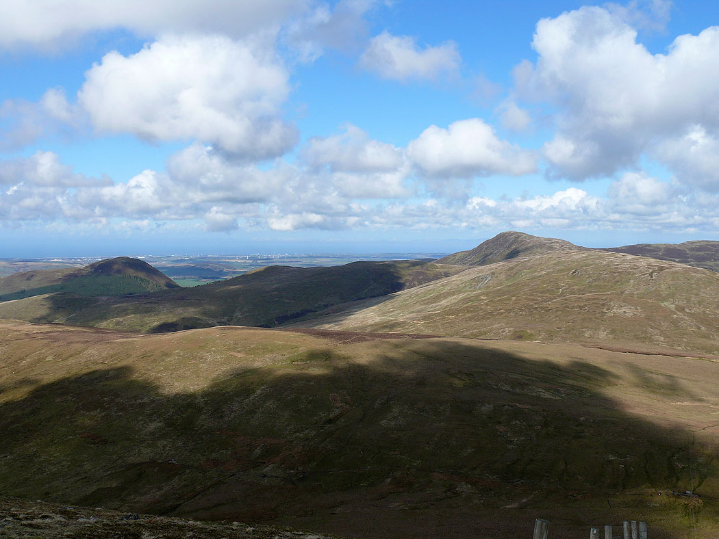
Knock Murton and Blake Fell
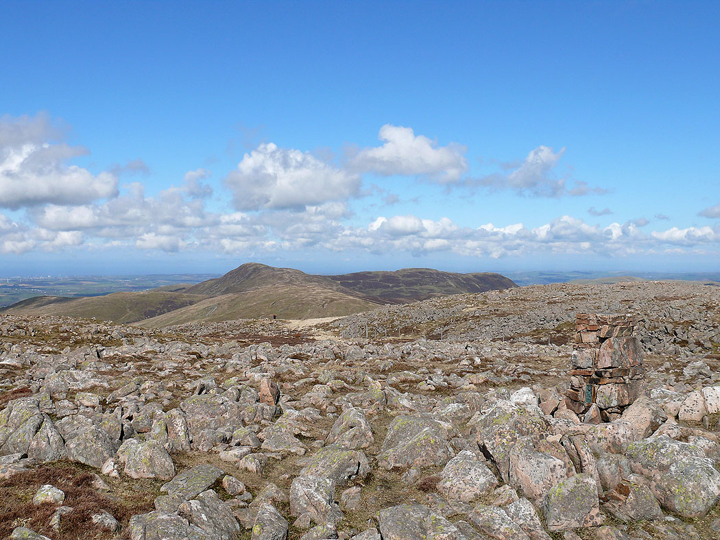
Views from the summit of Great Borne. The way ahead to High Stile, Ennerdale and Pillar.
Blake Fell and Carling Knott
The view east. Whiteless Pike and Robinson with Clough Head and Great Dodd in the distance between them.
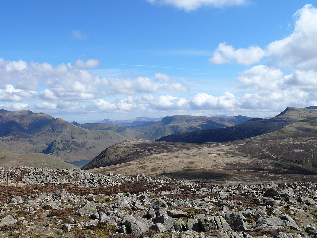
On my next summit of Starling Dodd. A view of the Grasmoor group of fells.
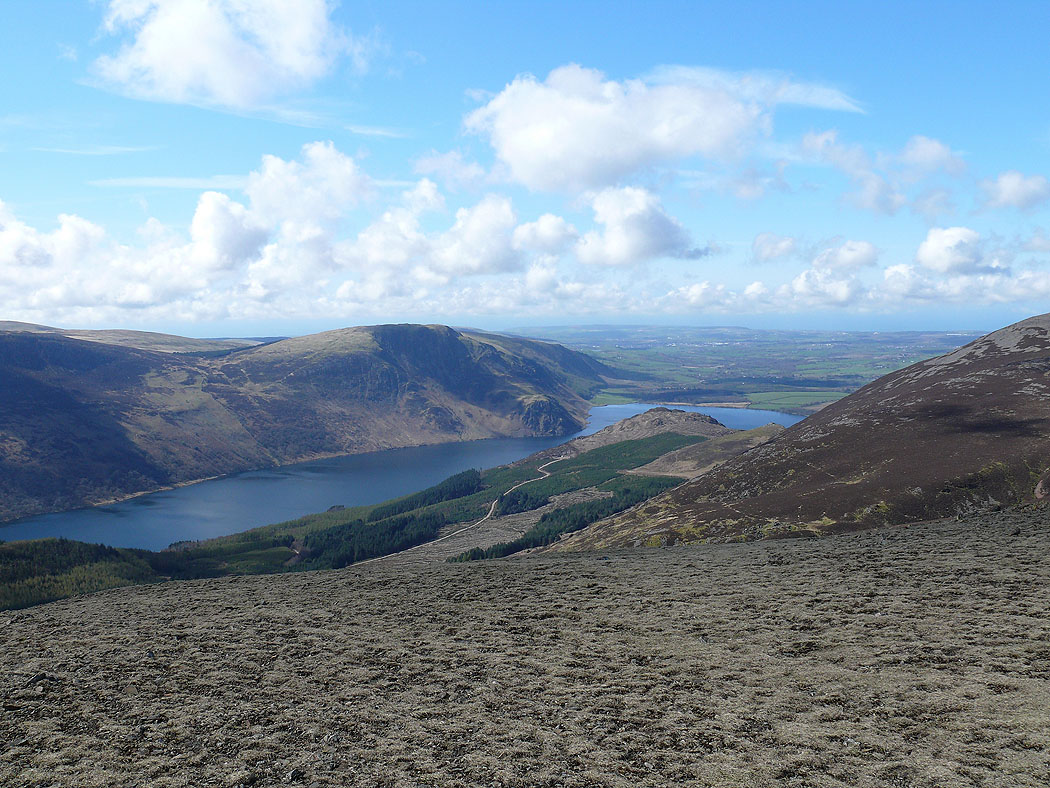
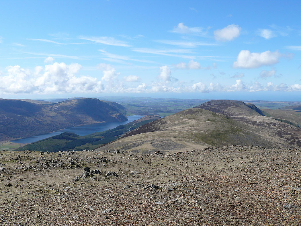
Crag Fell and Ennerdale Water
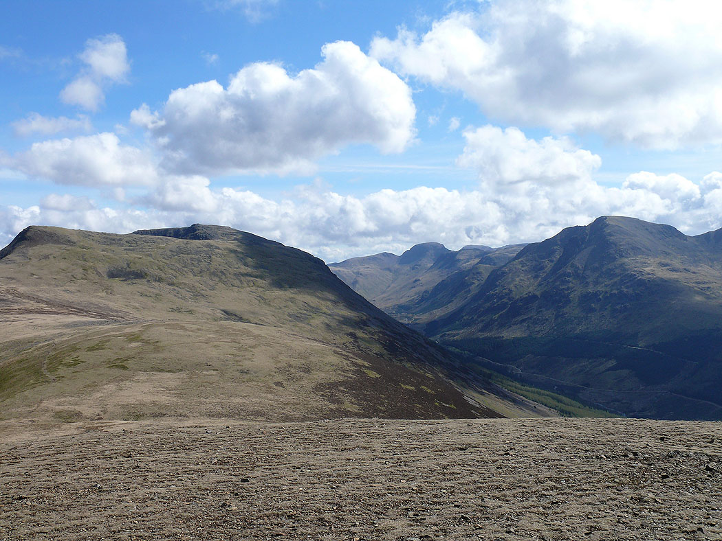
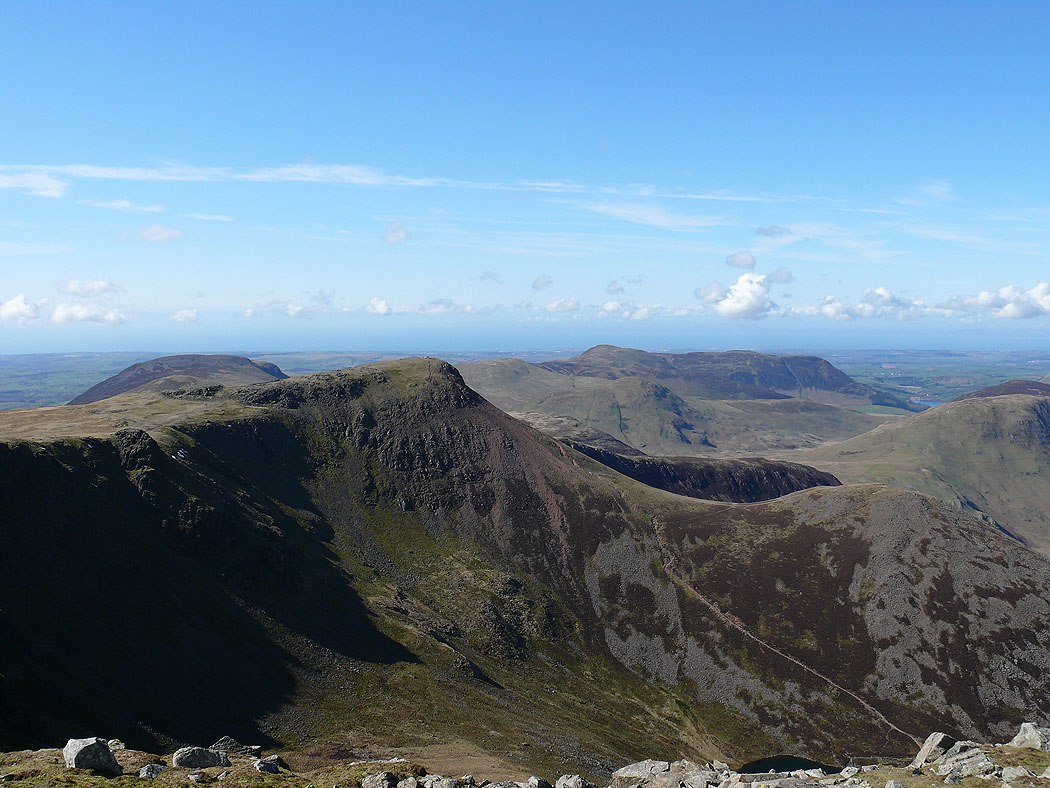
The ridge ahead to Red Pike and High Stile
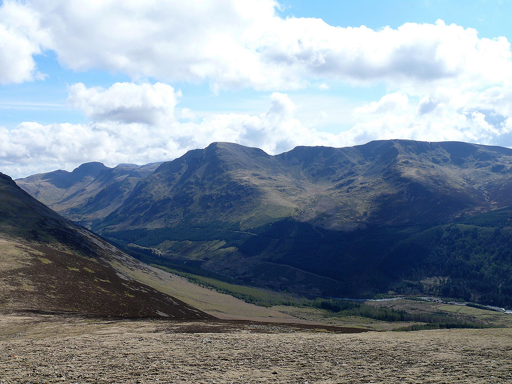
The view up Ennerdale. Green and Great Gable at the head of the valley, Pillar midway down and Scoat Fell on the right.
Mellbreak
Next stop Red Pike. Crummock Water and Grasmoor.
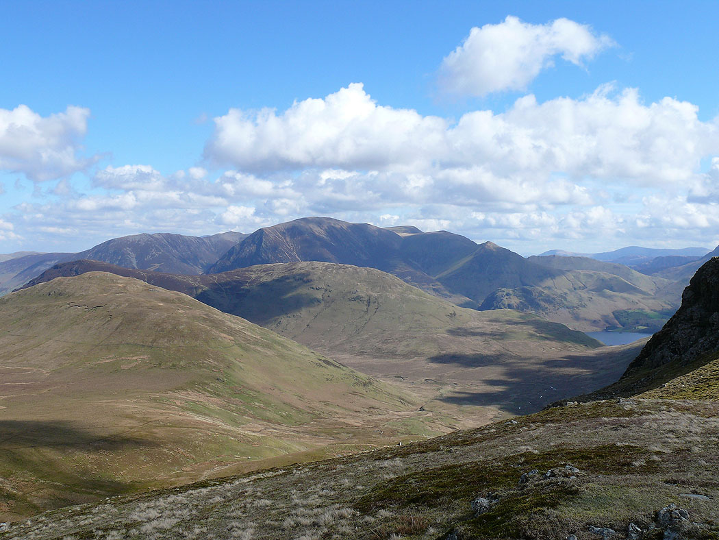
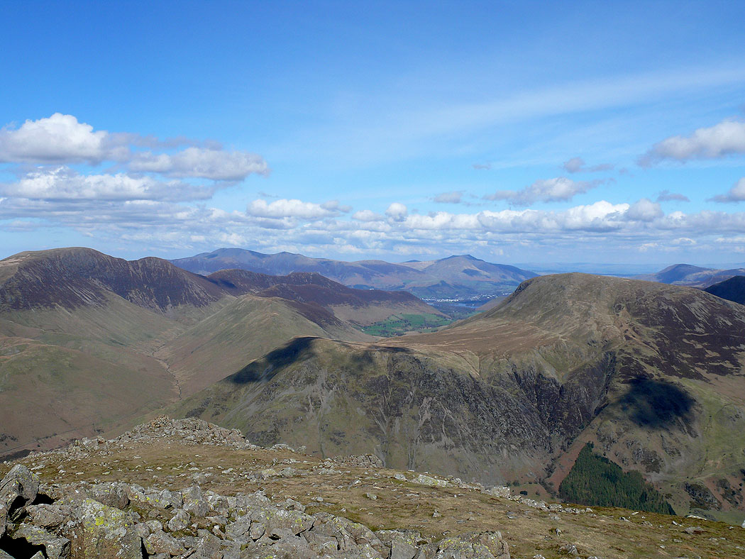
The view across Buttermere to Robinson, Hindscarth and Dale Head with the Helvellyn range in the distance.
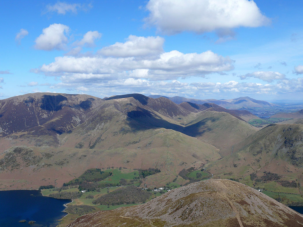
Grasmoor and Crag Hill
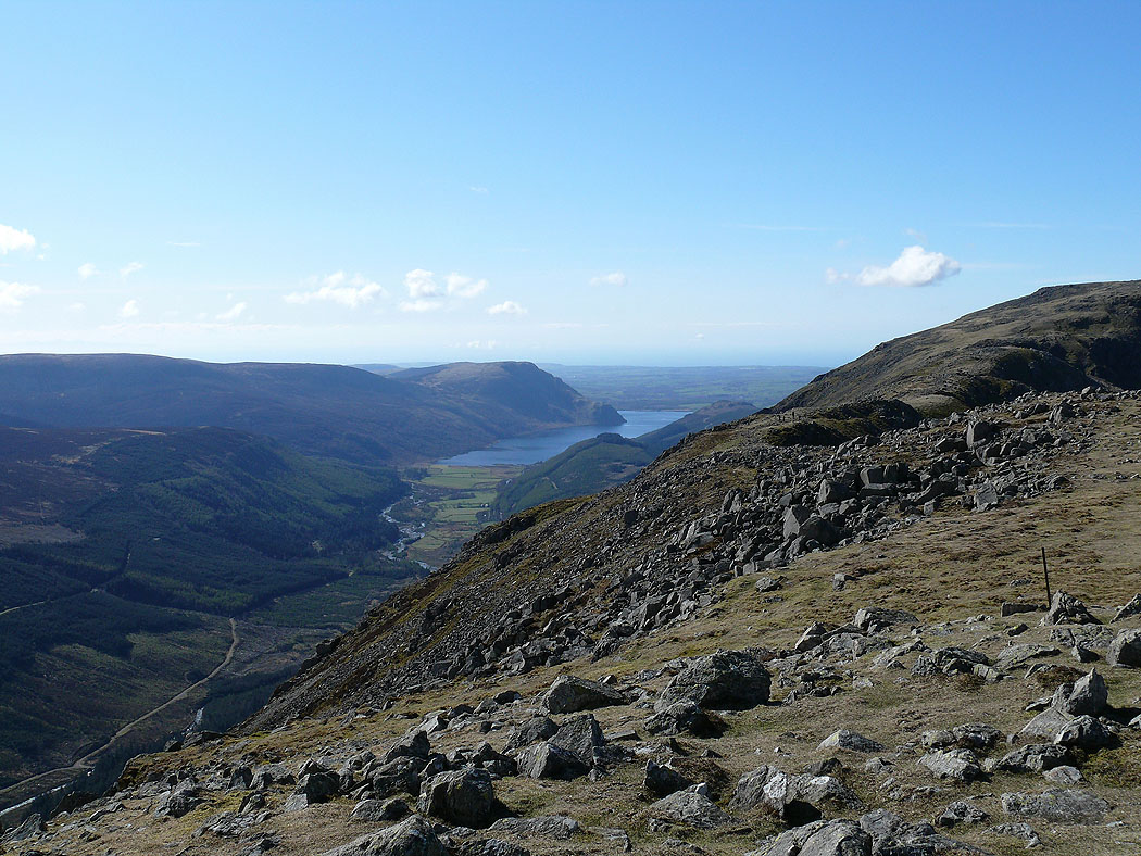
Ennerdale Water and the view back along my route so far to Great Borne
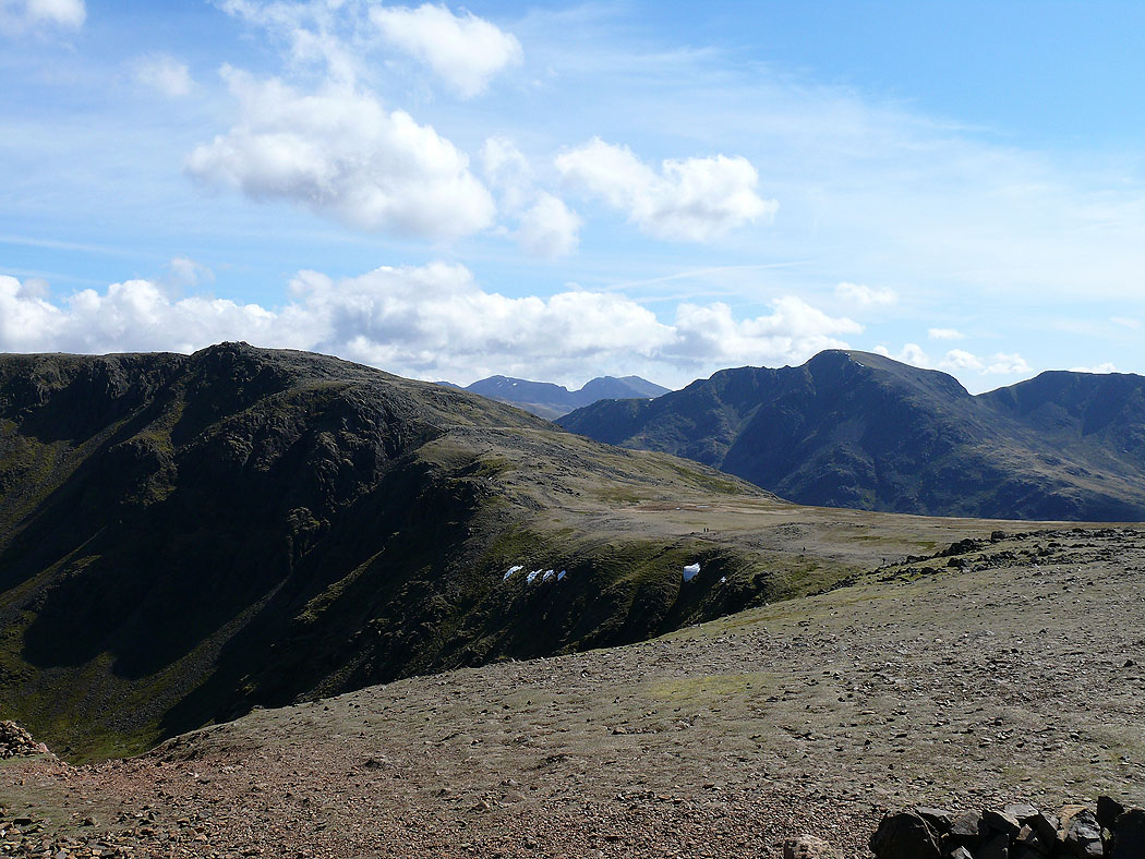
Chapel Crags in the foreground. Scafell Pike and Scafell in the distance with Pillar to the right.
On the summit of High Stile. Robinson, Hindscarth, Dale Head and Fleetwith Pike with the Helvellyn range in the distance.
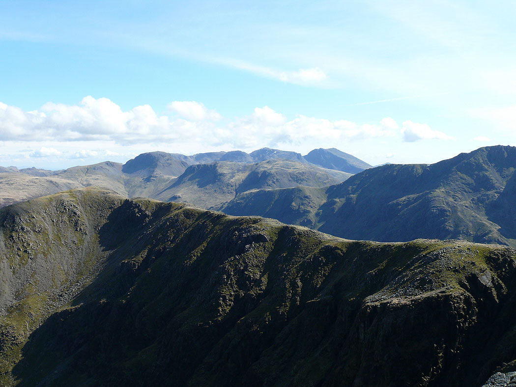
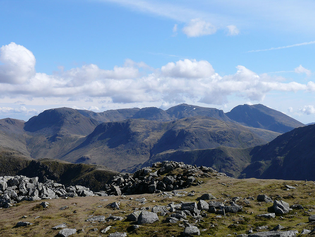
Across High Crag and Comb Crags to Great Gable and the Scafells
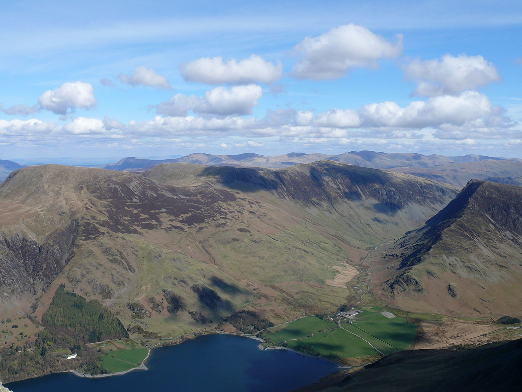
Fleetwith Pike and High Crag
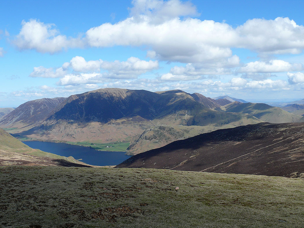
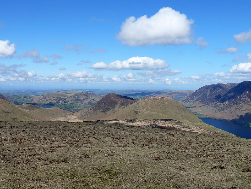
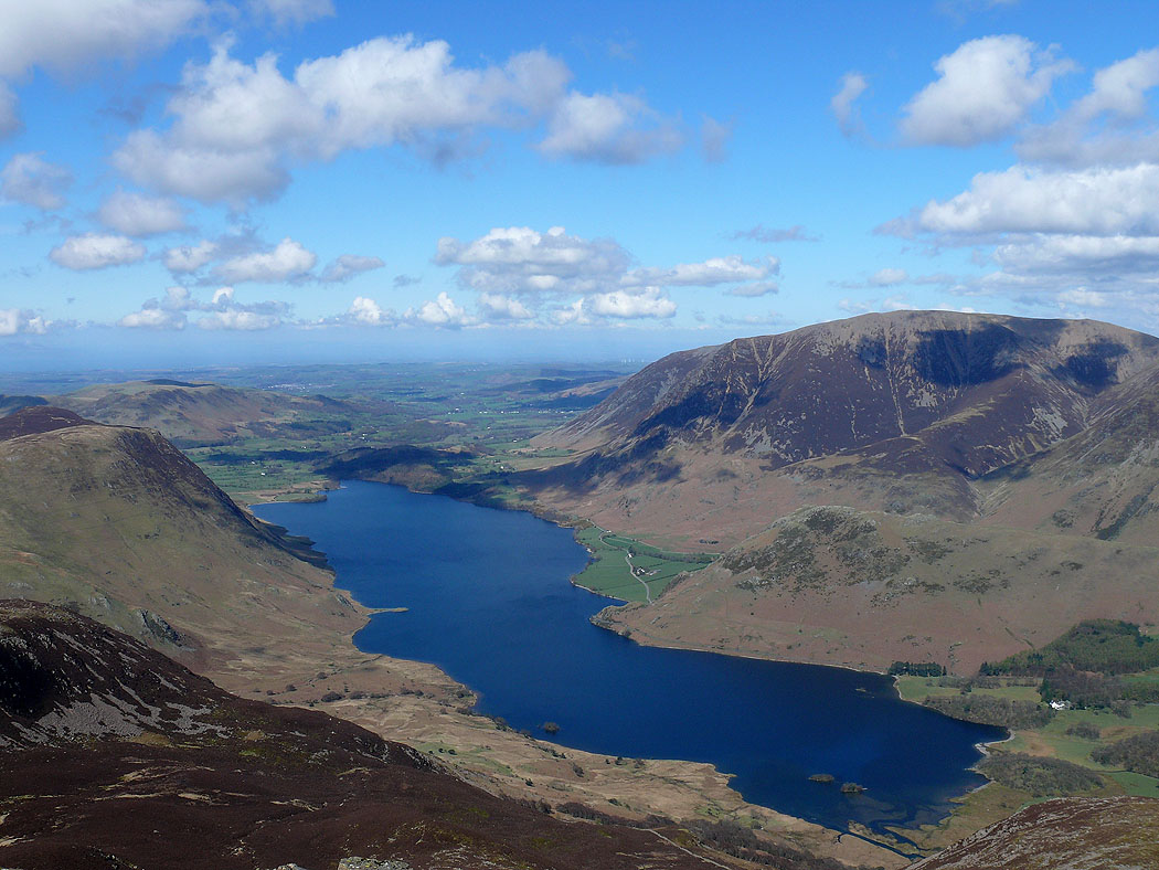
Mellbreak, Crummock Water and Grasmoor
The previous summit of Red Pike
Crag Hill, Skiddaw, Blencathra and Robinson
Great Gable, Kirk Fell and the Scafells as I head for High Crag
and the same view and the head of Ennerdale from High Crag
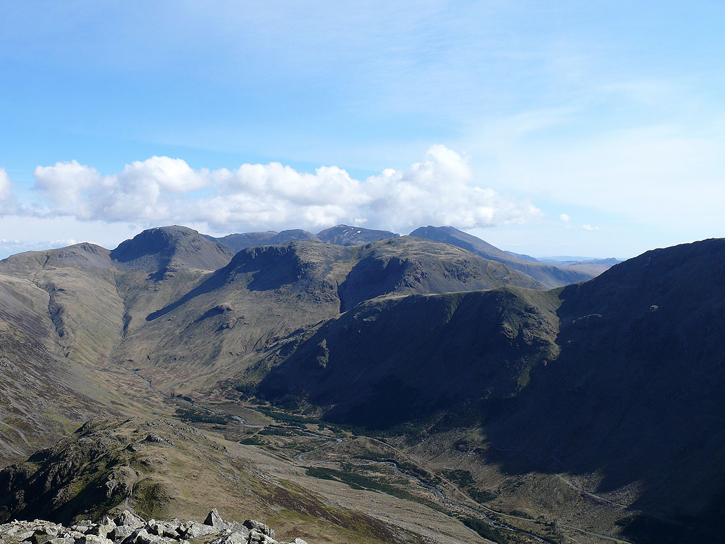
Ennerdale and Ennerdale Water
Dale Head and Fleetwith Pike
Robinson and Hindscarth from High Crag
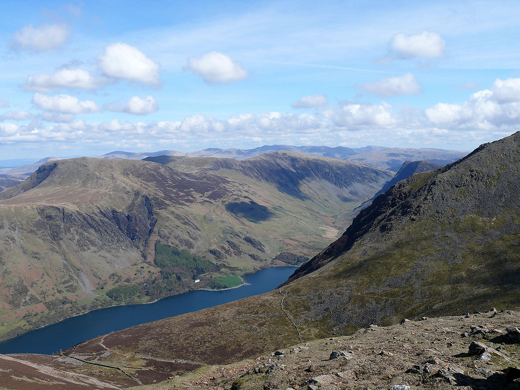
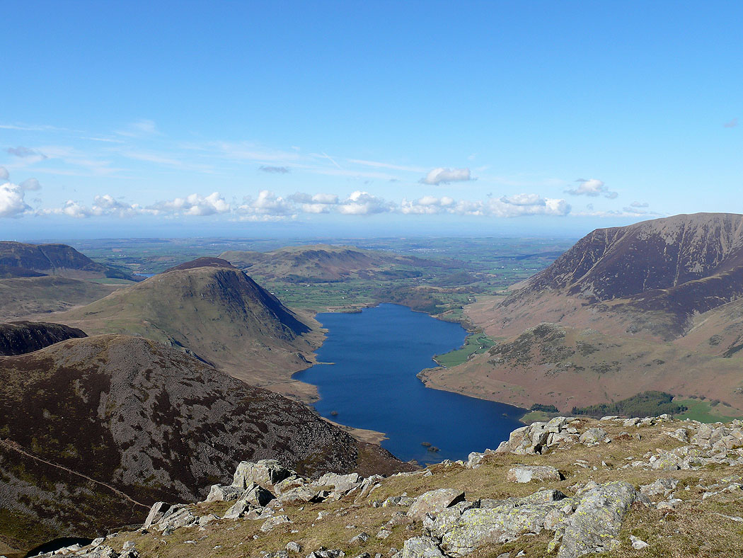
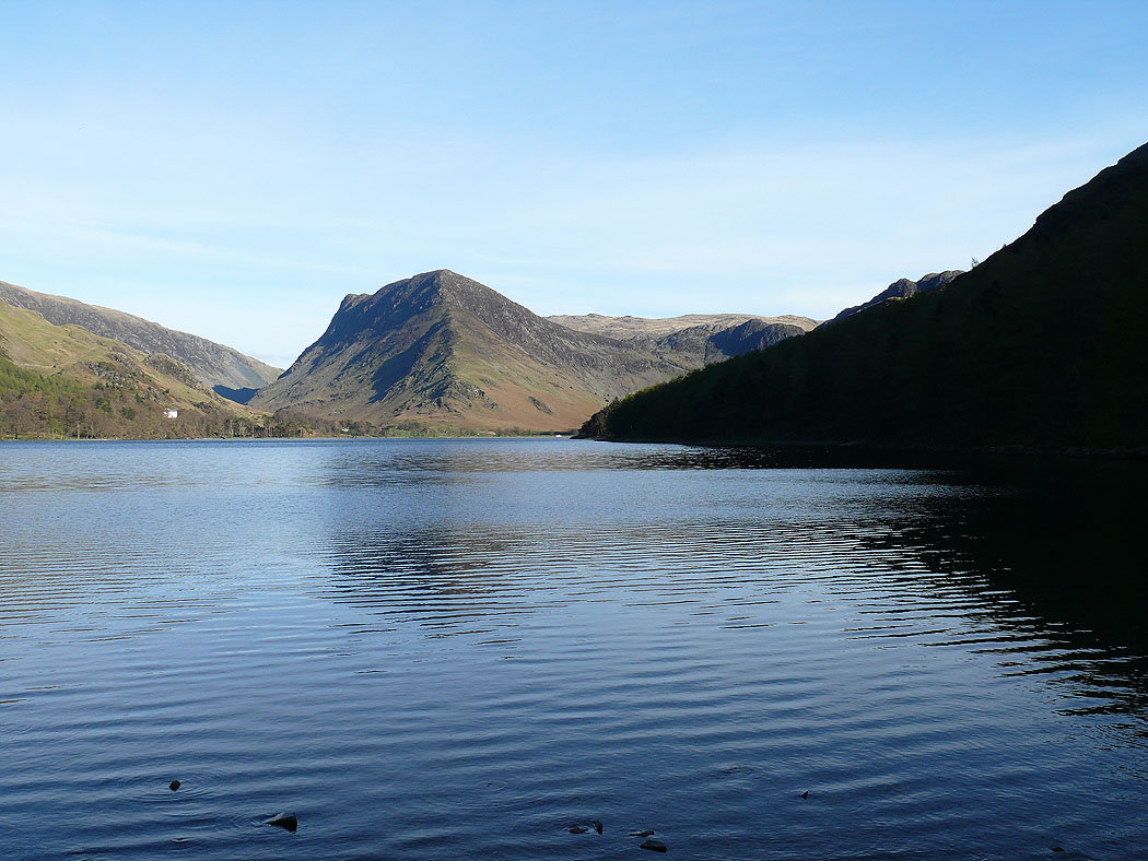
The final shot of the day is of this view up Buttermere to Fleetwith Pike
