11th April 2010 - Great Coum and Crag Hill
Walk Details
Distance walked: 7.5 miles
Total ascent: 1859 ft
OS map used: OL2 - Yorkshire Dales, Southern & Western areas
Time taken: 6 hrs
Route description: Dent-Flinter Gill-Green Lane-The Crag-Crag Hill-Great Coum-Green Lane-Flinter Gill-Dent
A walk from Dent up to the track of Green Lane with an ascent of Great Coum and Crag Hill then back along Green Lane to Dent.
Route map
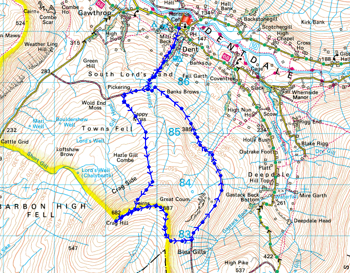
© Crown copyright. All rights reserved. License number PU 100034184.
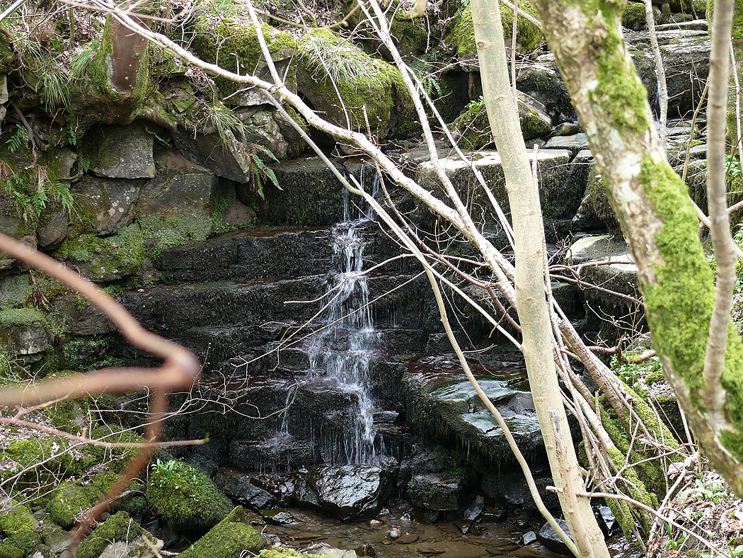
The path out of Dent heads south uphill beside Flinter Gill
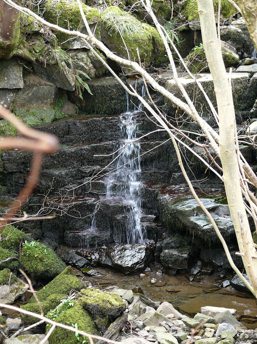
The recent dry weather has left only a trickle
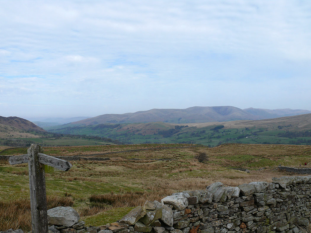
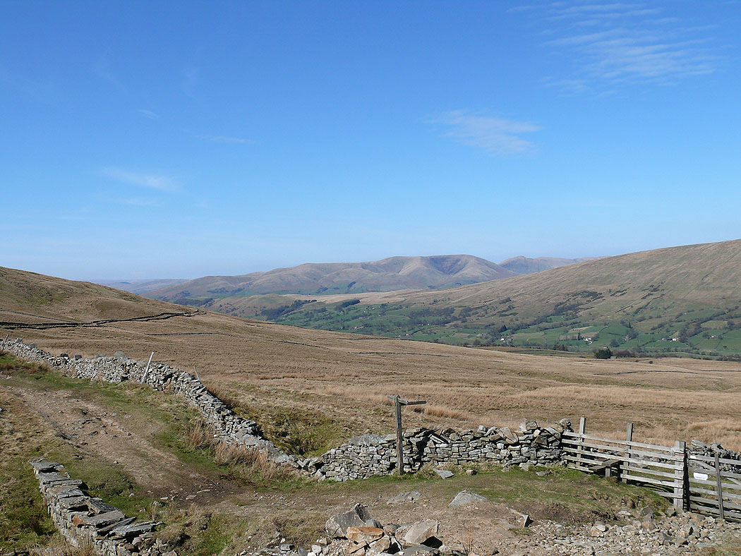
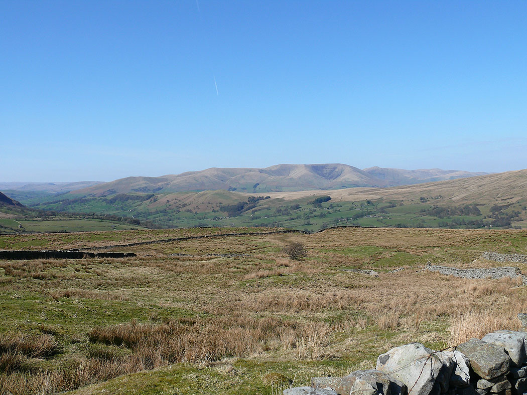
Joining the Green Lane bridleway with the Howgills in the distance
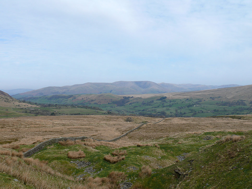
The view back on the climb up Great Coum
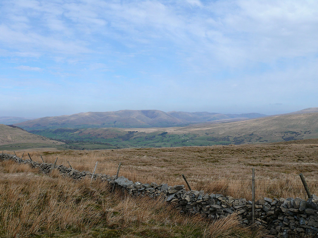
Higher up
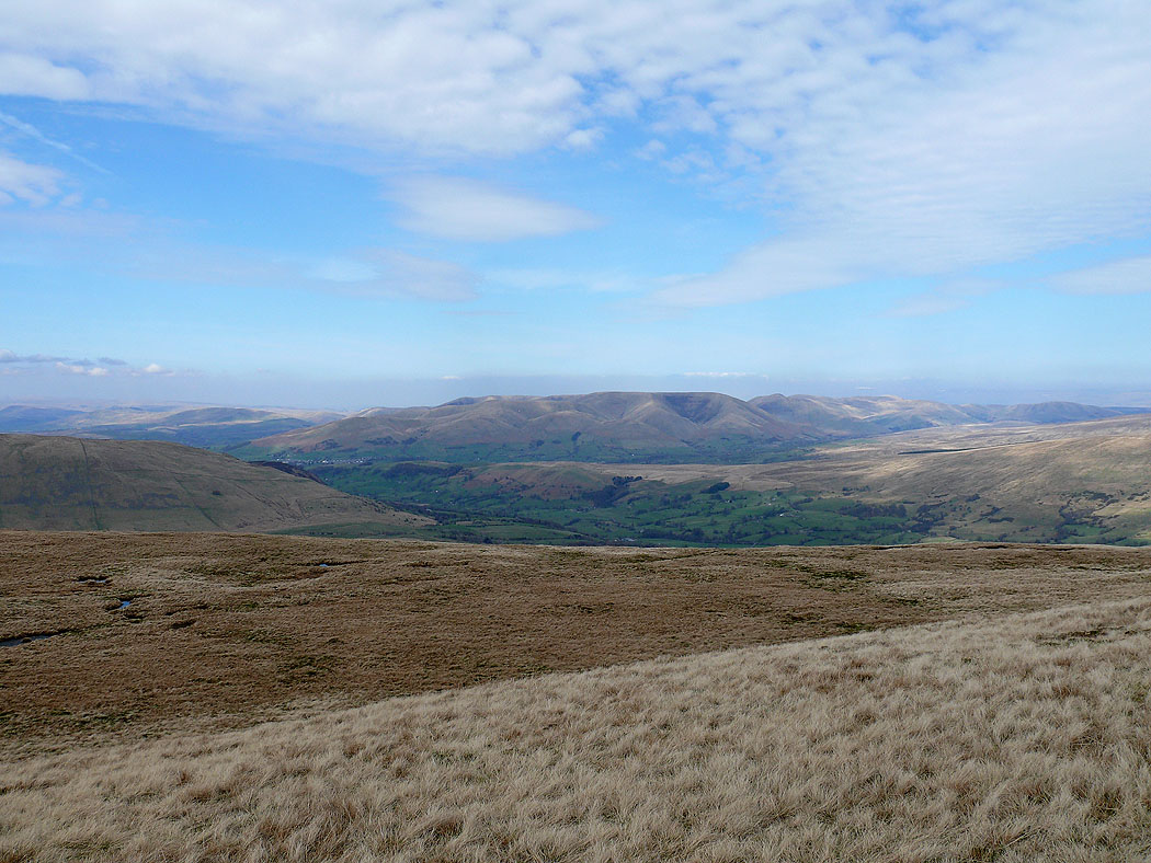
A view to the Howgills from the cairn at the top of the climb between Crag Hill and Great Coum
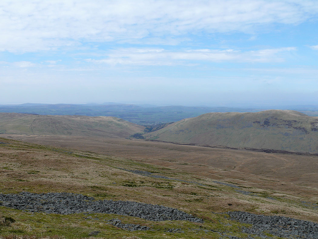
Looking up Dentdale
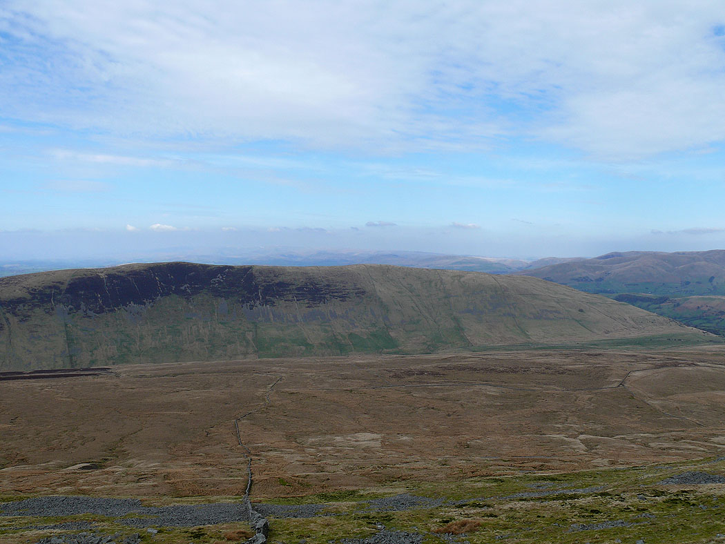
Castle Knott and Calf Top
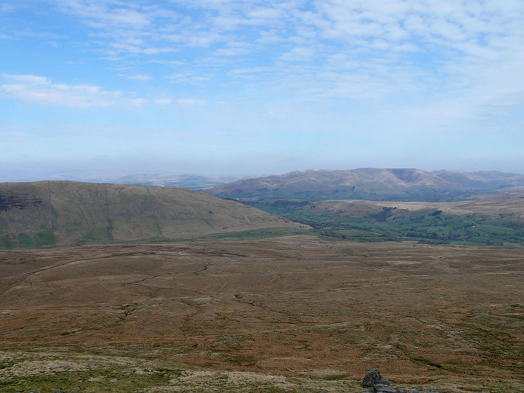
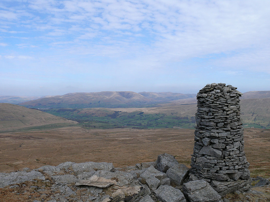
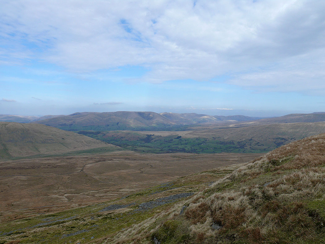
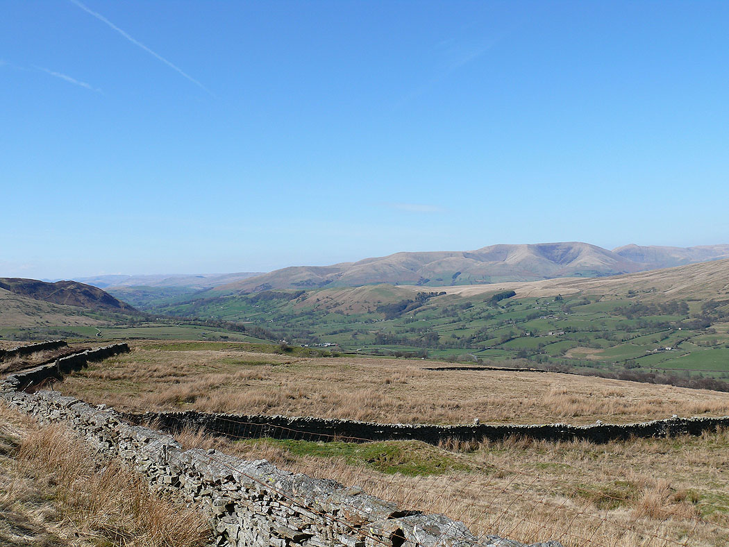
Middleton Fell and the Howgills
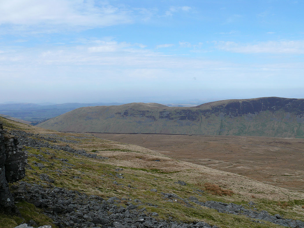
On Crag Hill. Barbon Low Fell and Castle Knott either side of Barbondale.
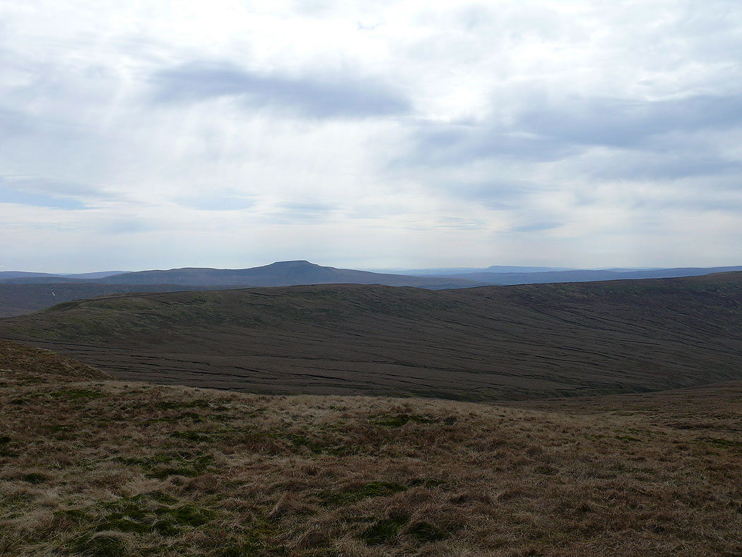
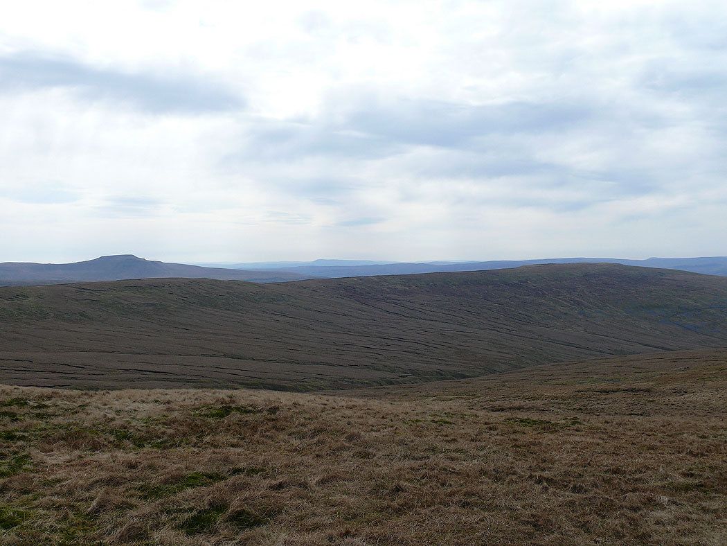
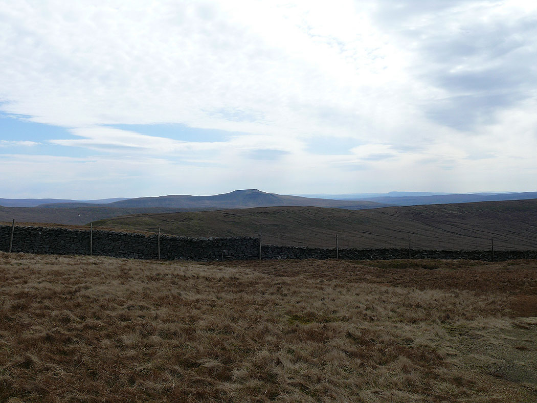
Ingleborough in the distance
Ingleborough behind the ridge of Green Hill and Gragareth
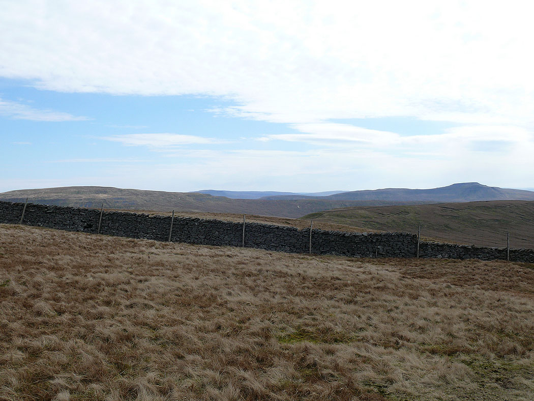
The Howgills from Crag Hill
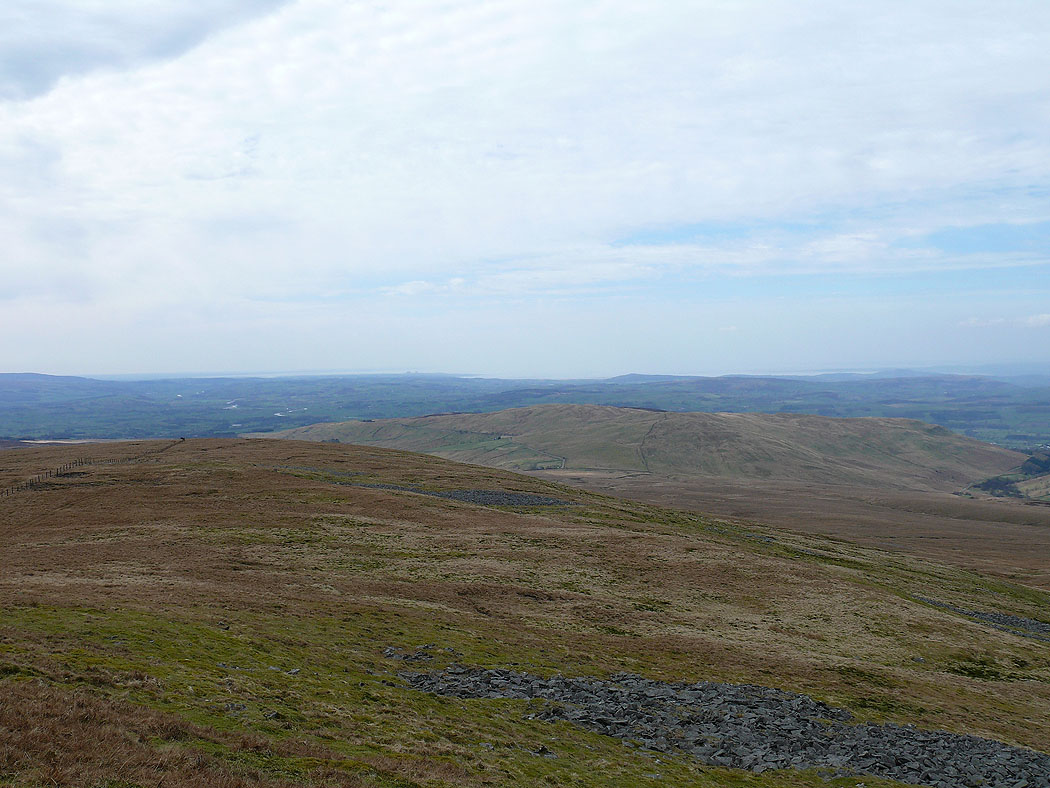
Middleton Fell
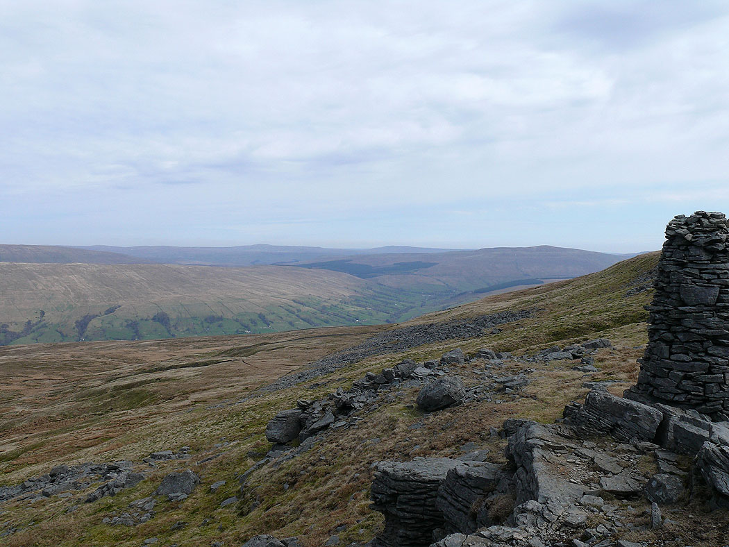
Looking down the southwest ridge of Crag Hill to Barbon Low Fell. Morecambe Bay in the distance.
Ingleborough
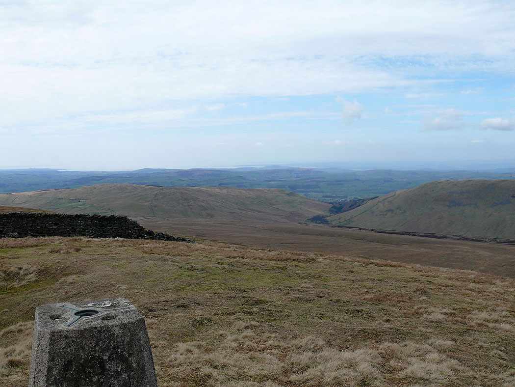
The view to Morecambe Bay from the trig point on Crag Hill
Whernside and Ingleborough
Middleton Fell from Great Coum
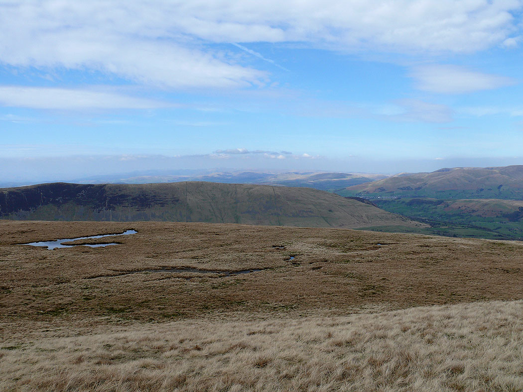
The Howgills from Great Coum
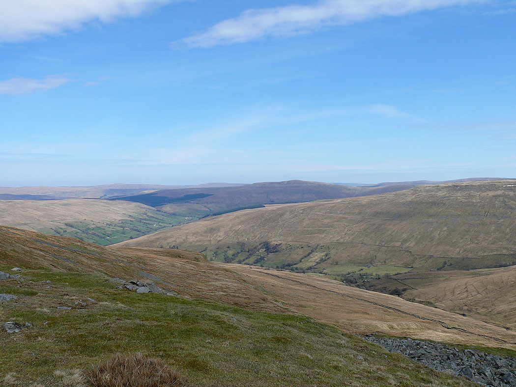
Deepdale below leading into Dentdale
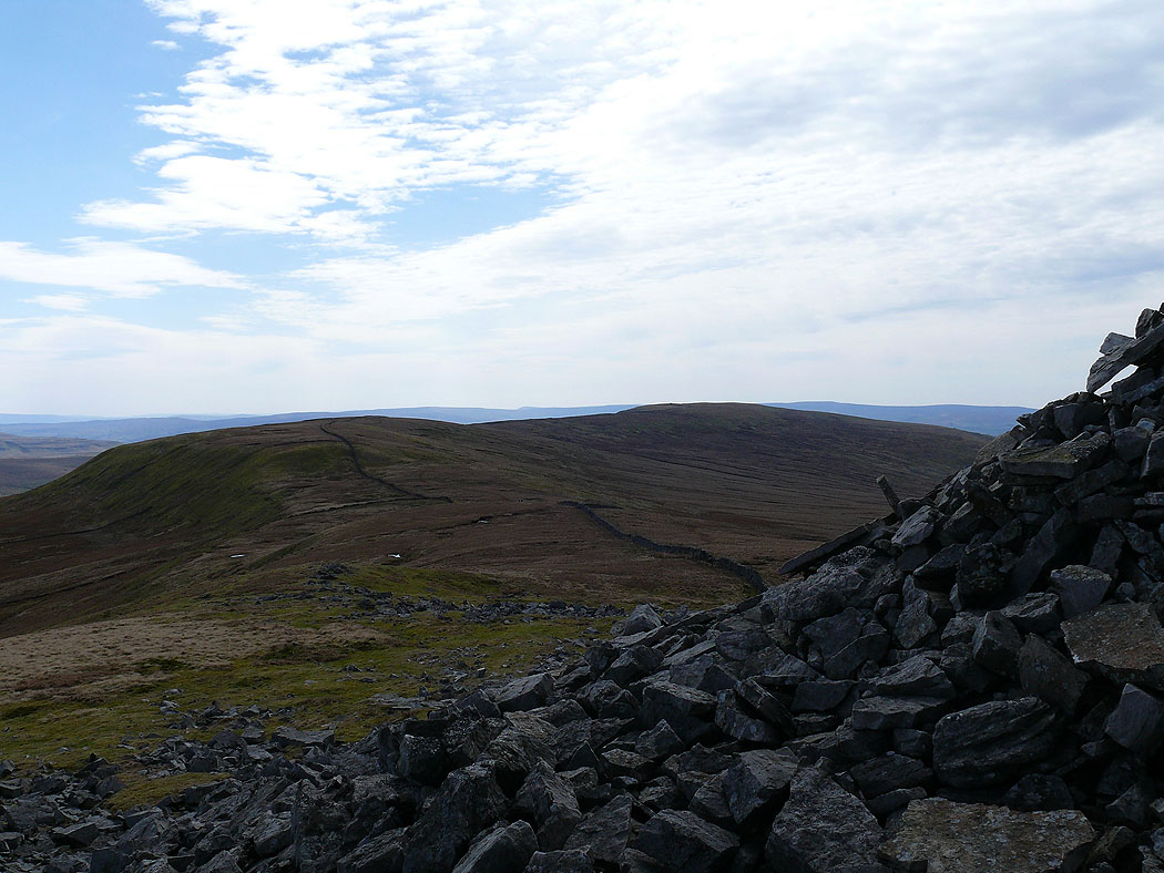
Green Hill and Gragareth
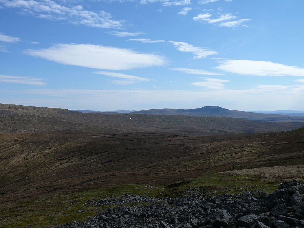
Ingleborough on the descent of Great Coum to Green Lane
The Howgills from Green Lane on the way back to Dent
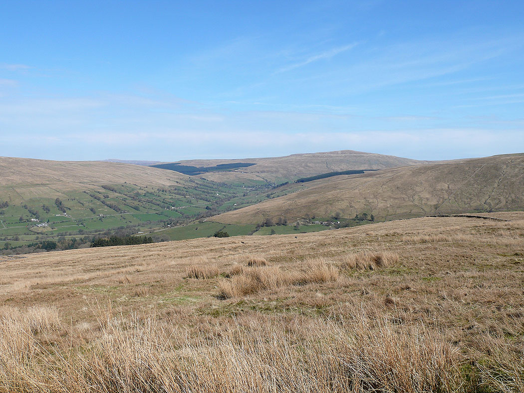
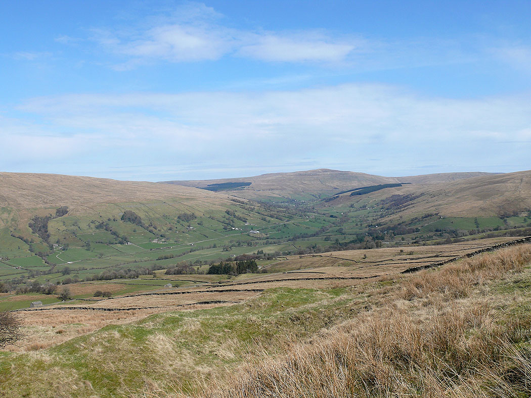
Dentdale and Great Knoutberry Hill
Howgills and Dentdale
Dentdale
The Howgills from the path back down to Dent