11th April 2014 - Grit Fell & Clougha Pike
Walk Details
Distance walked: 6.2 miles
Total ascent: 1257 ft
OS map used: OL41 - The Forest of Bowland & Ribblesdale
Time taken: 4 hrs
Route description: Birk Bank car park on Rigg Lane-Birk Bank-track round the back of Clougha-Grit Fell-Clougha Pike-Clougha Scar-Birk Bank car park on Rigg Lane
Back at home after my Lakes break. It's fine day so after I'd completed a few jobs I had to do in the morning I made the short drive for this walk in the Forest of Bowland that I always enjoy.
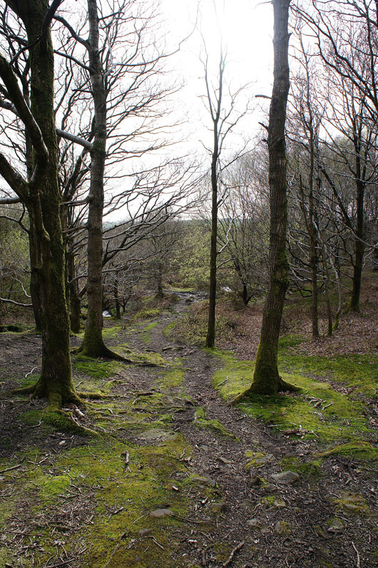
From the car park I followed a path across Birk Bank to pick up the shooters track that makes for the col between Ward's Stone and Grit Fell. I then paid a visit to the summit of Grit Fell before heading to Clougha Pike. My route back took me down Clougha Scar and through the woodland on Birk Bank to the car park.
Total ascent: 1257 ft
OS map used: OL41 - The Forest of Bowland & Ribblesdale
Time taken: 4 hrs
Route description: Birk Bank car park on Rigg Lane-Birk Bank-track round the back of Clougha-Grit Fell-Clougha Pike-Clougha Scar-Birk Bank car park on Rigg Lane
Back at home after my Lakes break. It's fine day so after I'd completed a few jobs I had to do in the morning I made the short drive for this walk in the Forest of Bowland that I always enjoy.
From the car park I followed a path across Birk Bank to pick up the shooters track that makes for the col between Ward's Stone and Grit Fell. I then paid a visit to the summit of Grit Fell before heading to Clougha Pike. My route back took me down Clougha Scar and through the woodland on Birk Bank to the car park.
Route map
© Crown copyright. All rights reserved. License number PU 100034184.
|
|
|
|
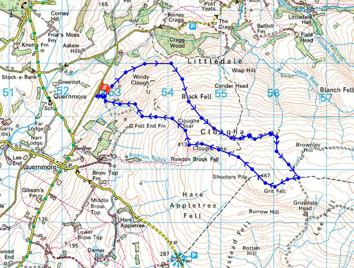
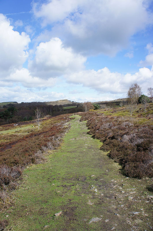
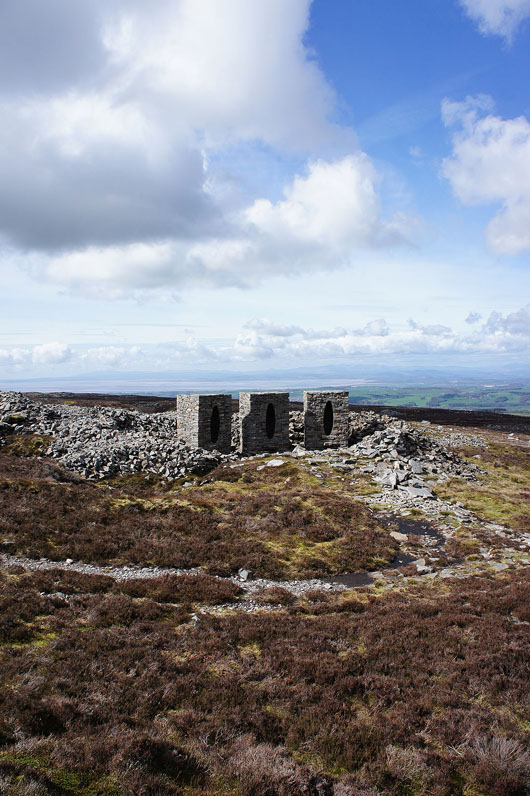
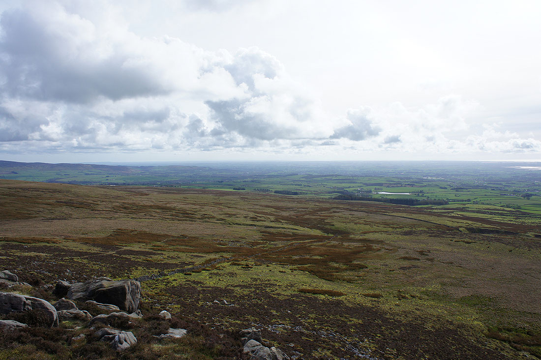
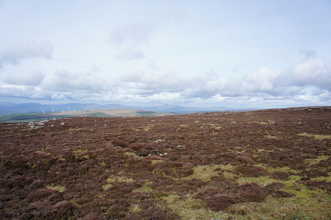
A few shots taken on the way around the back of Clougha
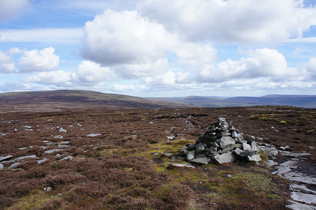
On the summit of Grit Fell. Ward's Stone and the fells around the Trough of Bowland.
Looking towards the Yorkshire Dales. Whernside, Ingleborough and Penyghent in view.
Heading for Clougha Pike
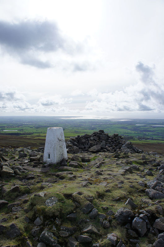
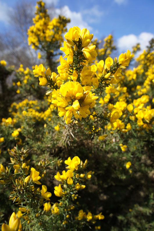
By the trig point that marks the top of Clougha Pike
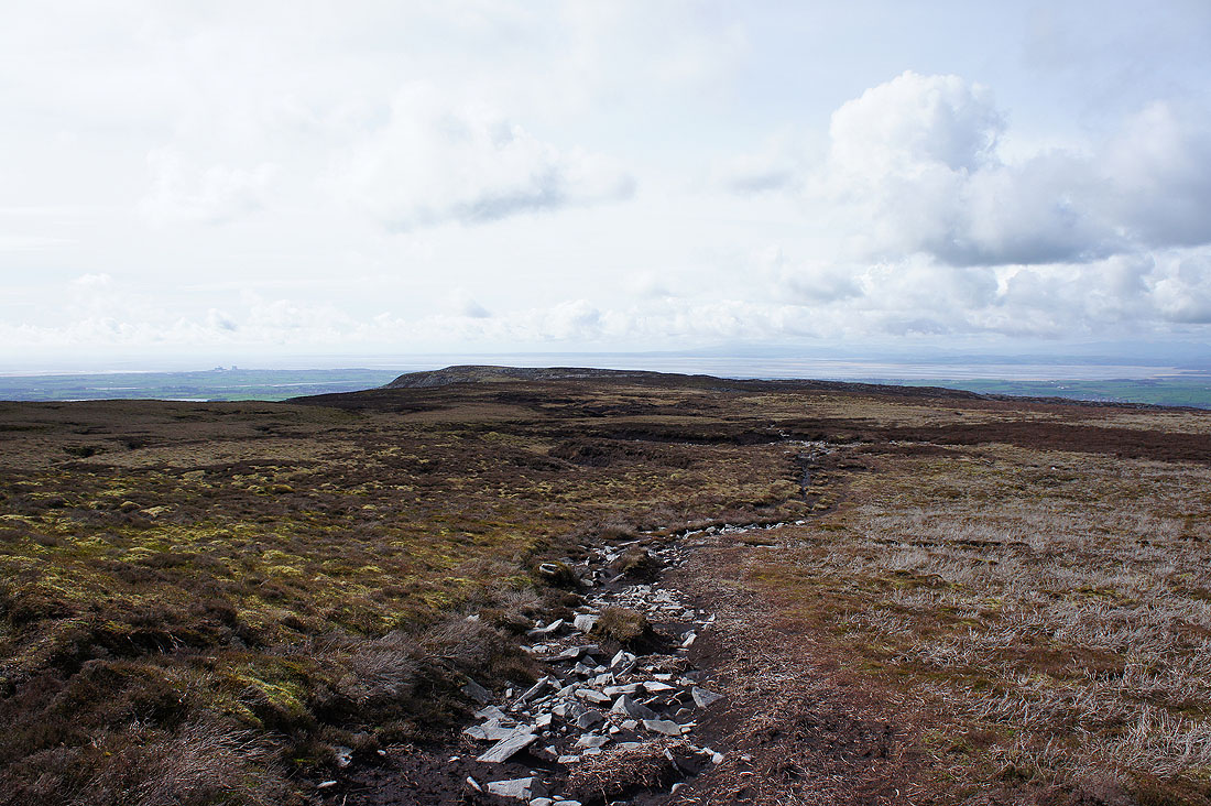
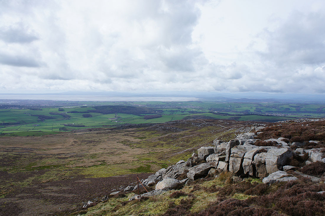
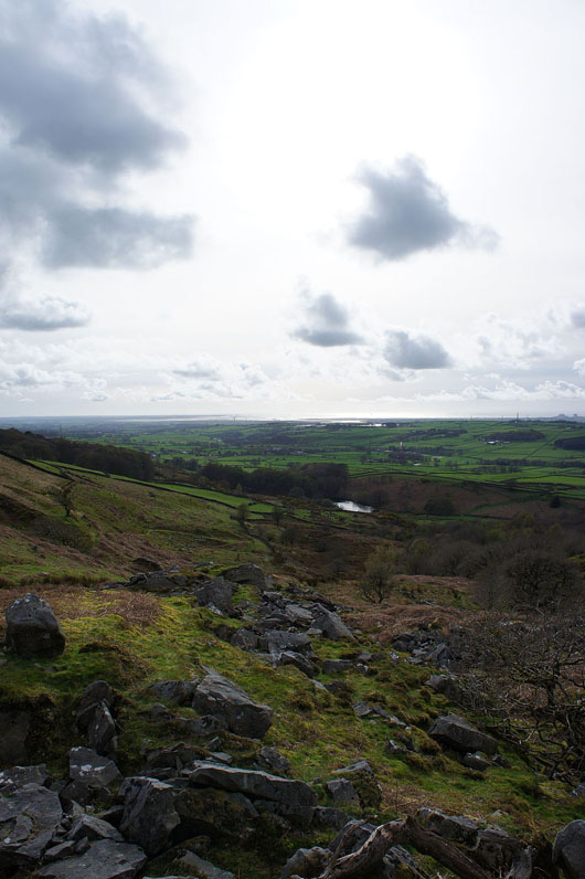
Looking down the Fylde coast
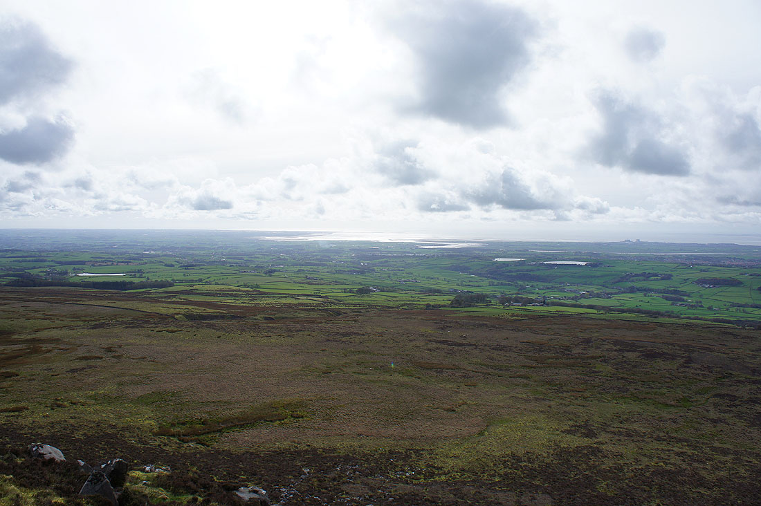
The Lune estuary
Morecambe Bay and the Lake District fells
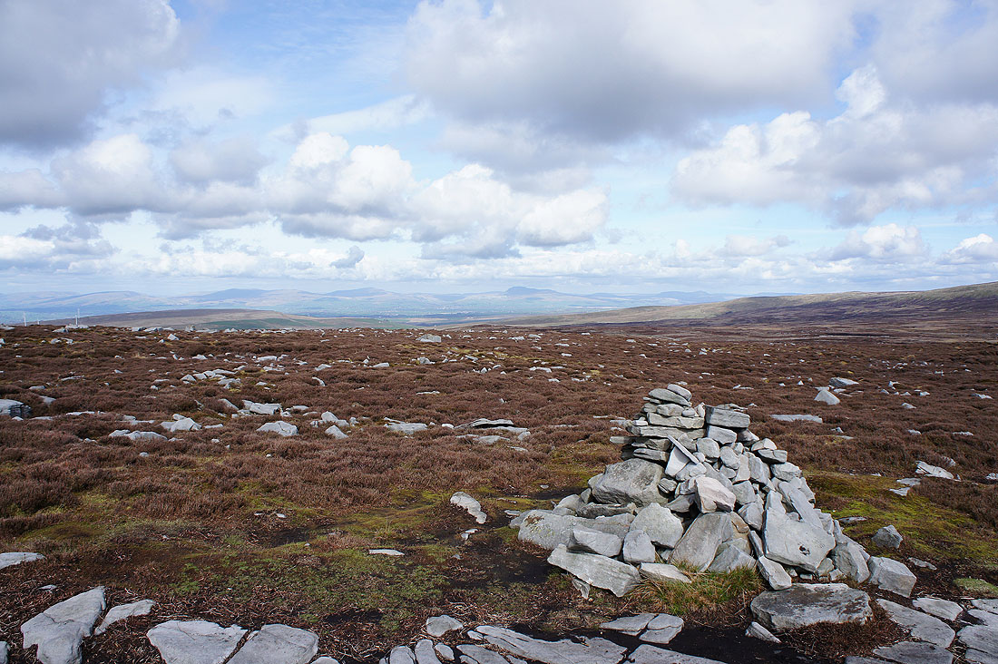
Many of the western fells of the Yorkshire Dales in view including Middleton Fell, Great Coum, Gragareth, Whernside, Ingleborough and Penyghent
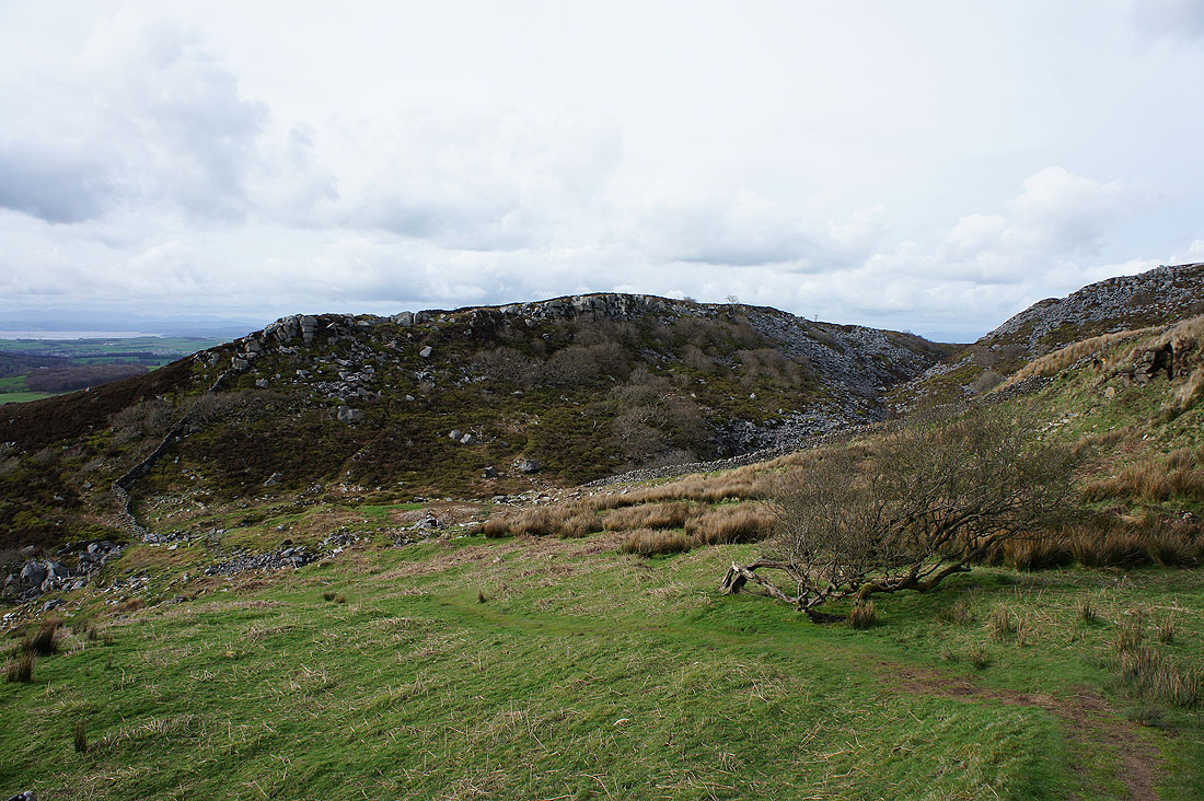
Windy Clough
|
|
A last shot looking towards the Lune estuary before I head down through woodland back to the start