11th August 2012 - Harter Fell & Kentmere Pike from Longsleddale
Walk Details
Distance walked: 7.8 miles
Total ascent: 2207 ft
OS map used: OL7 - The English Lakes, South-eastern area
Time taken: 6 hrs
Route description: Sadgill-track to Gatescarth Pass-Wrengill Quarry-Adam Seat-Harter Fell-Kentmere Pike-Goat Scar-Shipman Knotts-Stile End pass-Sadgill
This was my first visit to Longsleddale and long overdue. It's easy to forget that it's there, as it's not signposted from the main road to Windermere and by the time you get to Staveley and Kentmere you're past it.
I've been on Harter Fell and Kentmere Pike several times but this was an interesting and different way to walk them both.
From Sadgill I followed the bridleway up Longsleddale towards the Gatescarth Pass before breaking off and making an ascent of Adam Seat through the disused Wrengill Quarry. After visiting the top of Adam Seat I made my way up to the summit of Harter Fell and then across to Kentmere Pike before heading back to Sadgill via the tops of Goat Scar and Shipman Knotts.
Route map
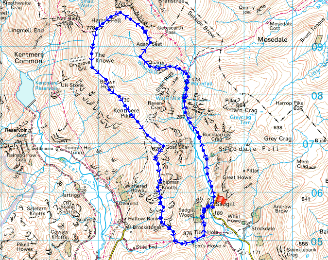
© Crown copyright. All rights reserved. License number PU 100034184.
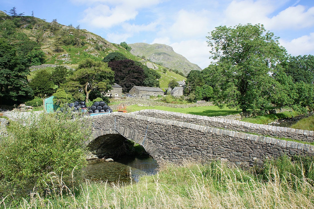
A fine start to the day in the hamlet of Sadgill, at the end of the road up Longsleddale. There's limited parking here with room for about ten cars if parked carefully and thoughtfully.
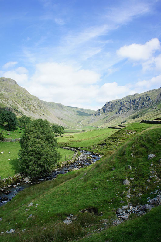
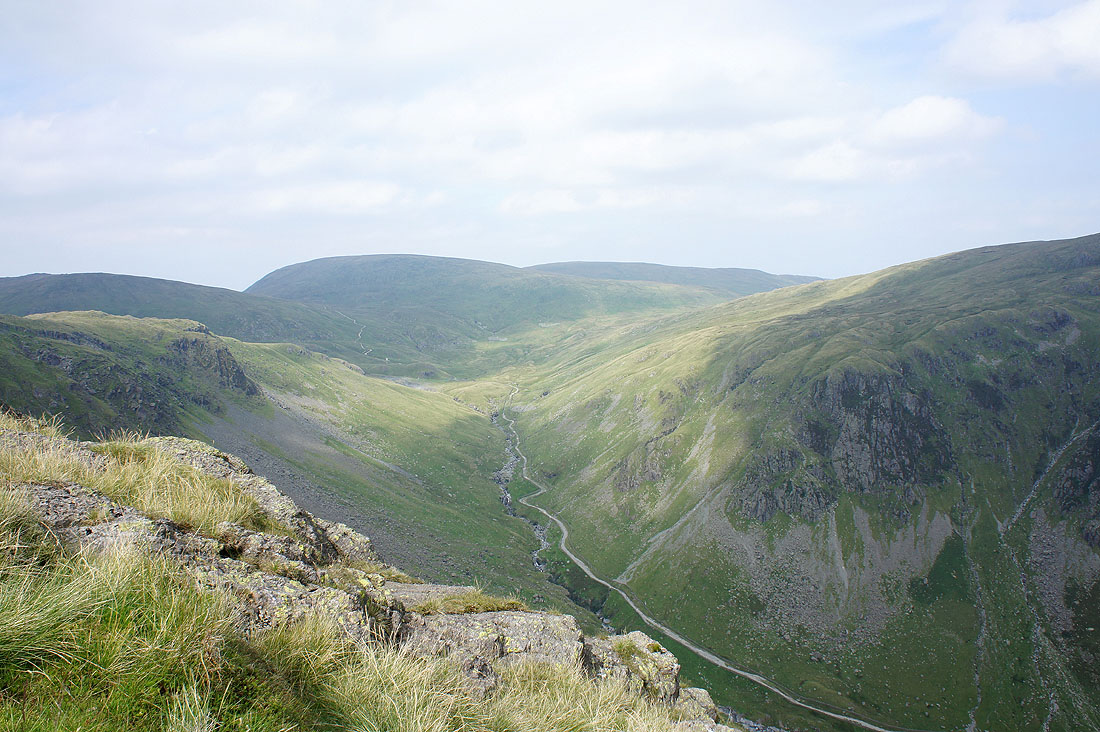
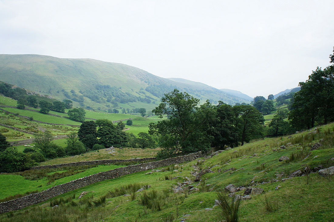
The view up Longsleddale as I start the walk up the bridleway towards the Gatescarth Pass
Heading up the valley
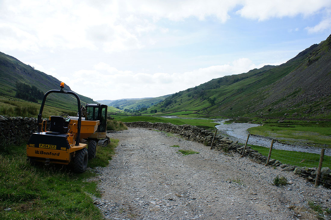
The bridleway has not faired well over the past few months with all the heavy rain. Debris has been washed down from the fellside above and it was obvious that at times the path had turned into a river with the surface washed away and a deep channel cut into it. The National Park are attempting to make repairs.
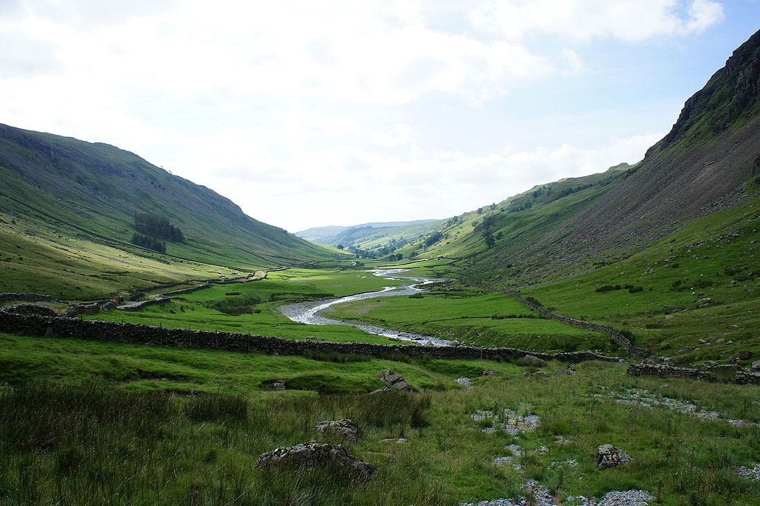
A last look back down the valley
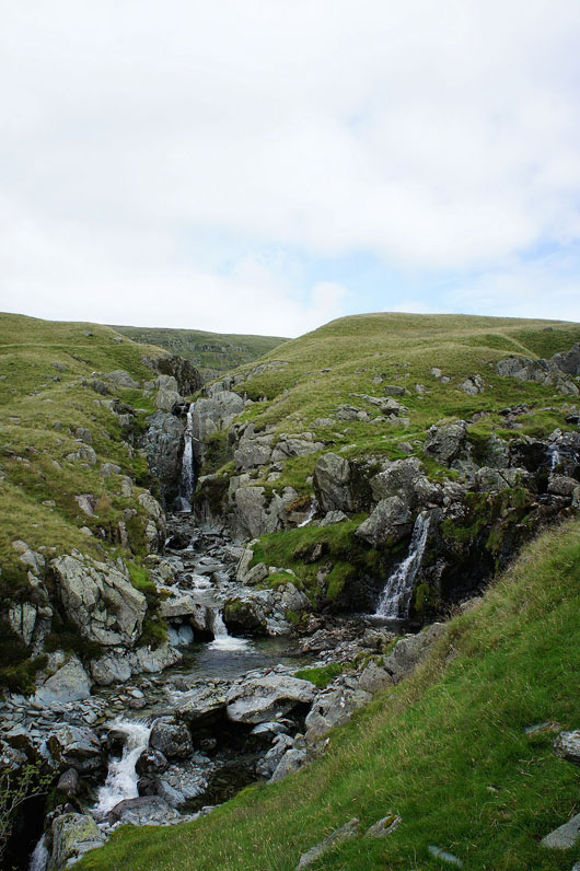
Cascades on the River Sprint
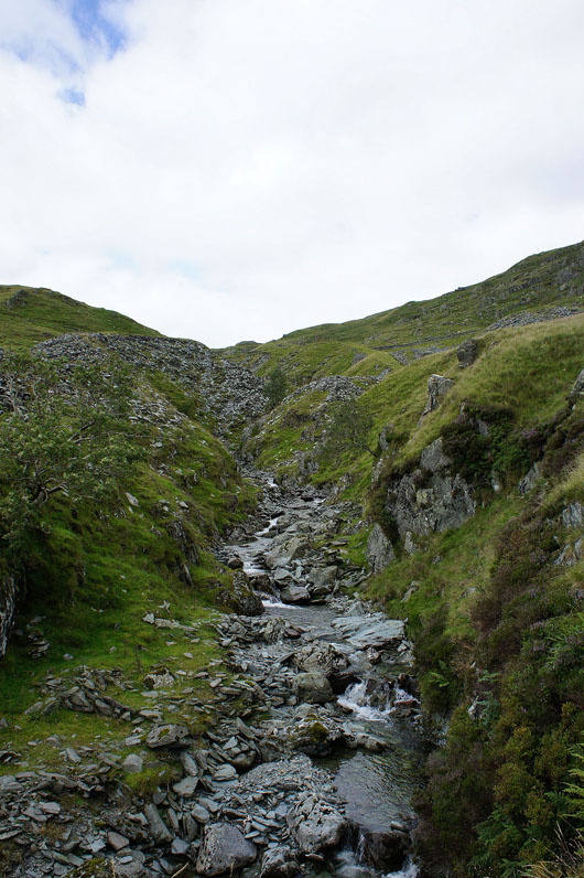
Wren Gill. Instead of following the path all the way to the Gatescarth Pass I decided on a different route up, through the disused Wrengill Quarry and then on to the top of Adam Seat.
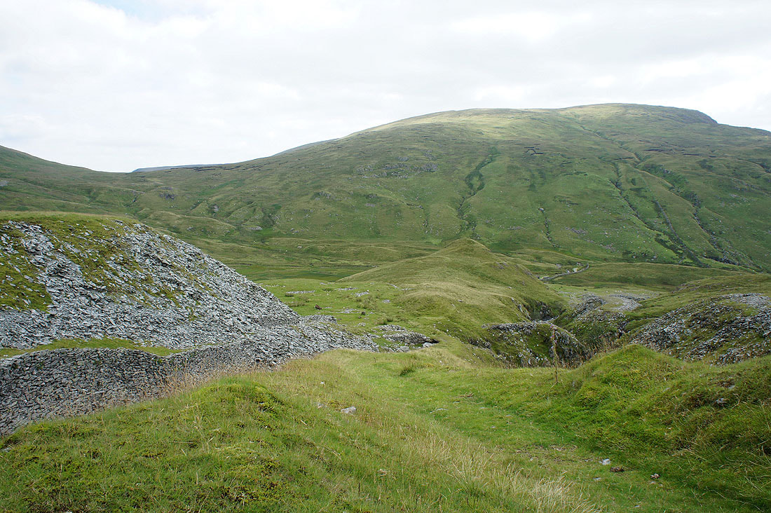
A look back down to the hollow of Brownhowe Bottom with the slopes of Tarn Crag behind as I head up into the quarry workings
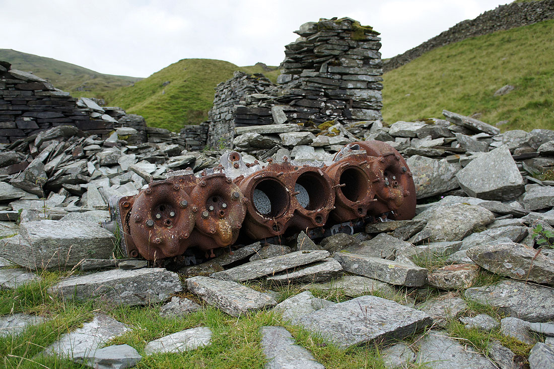
Rusty old engine block in a ruined quarry building
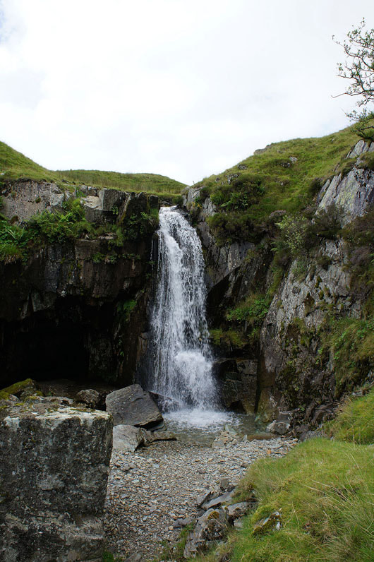
Waterfall in the quarry workings
|
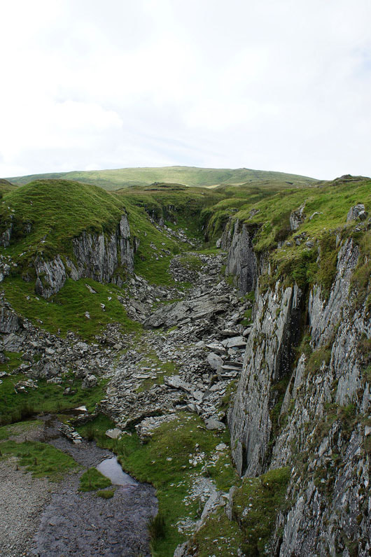
Rock faces in the former quarry. Slate was the rock they were after.
|
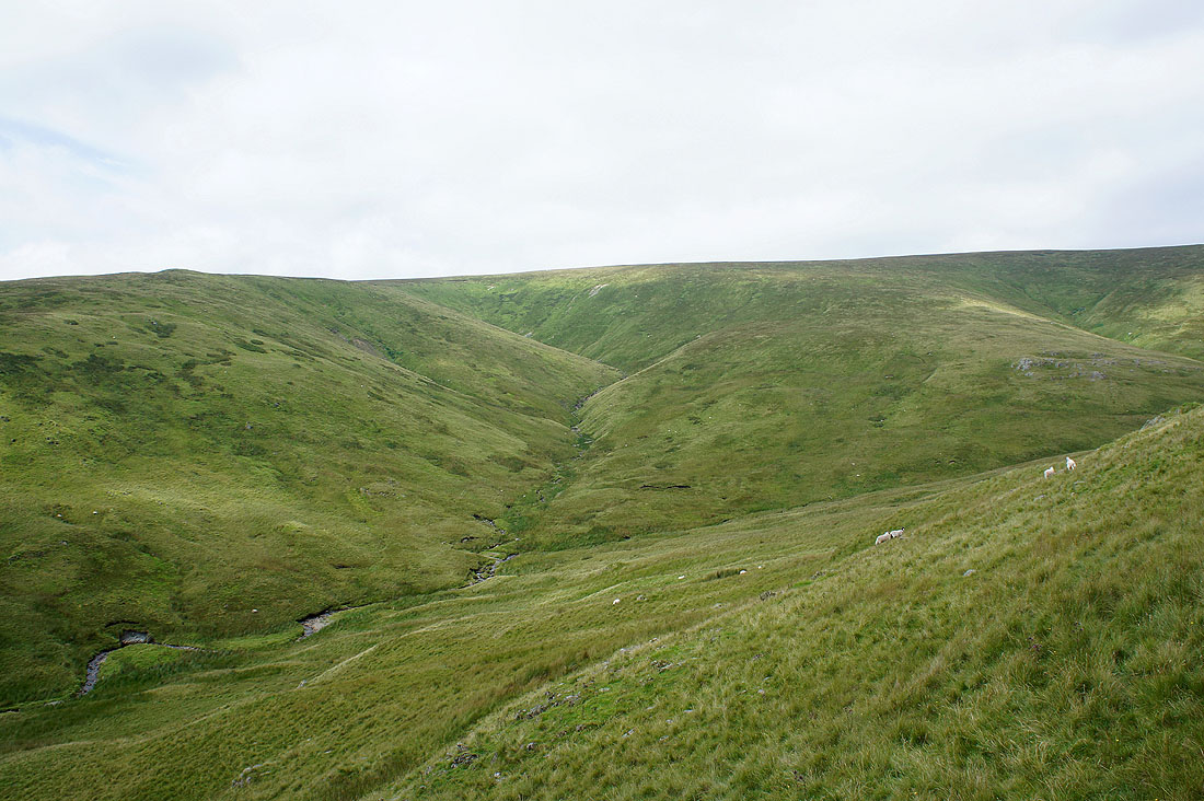
Wren Gill has its source on the slopes of Harter Fell. I'm on my way to the top of Adam Seat at the moment.
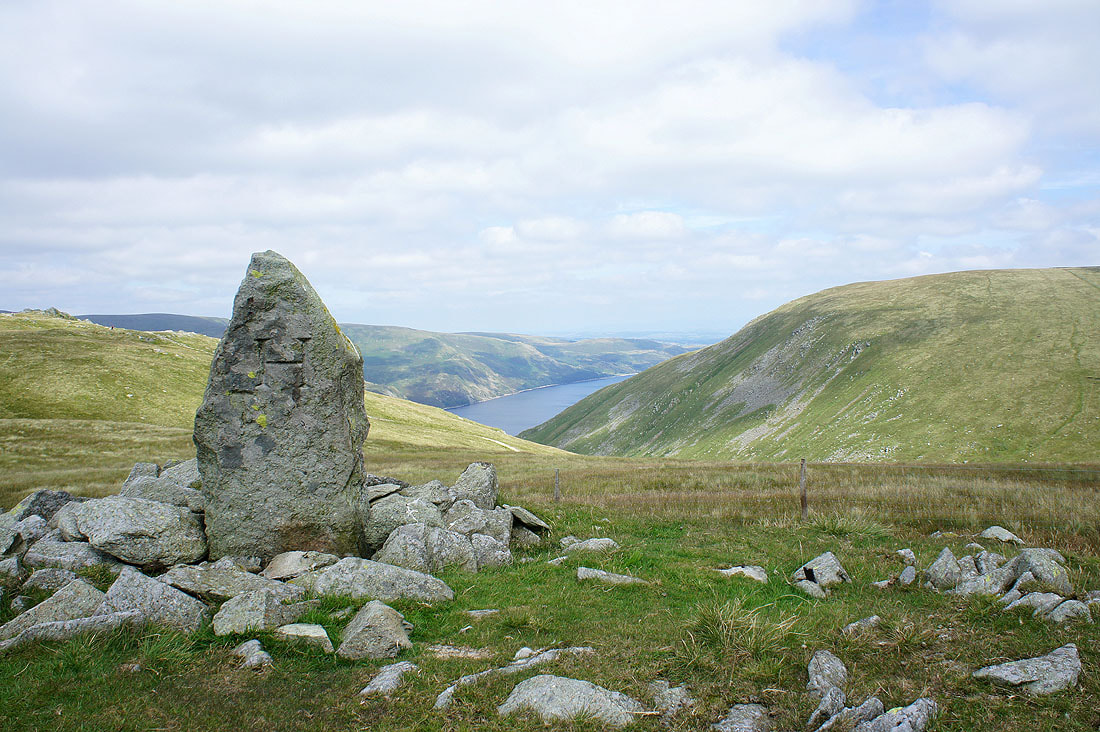
On the top of Adam Seat with the boundary stone and a bit of Haweswater in the picture
Longsleddale
Tarn Crag behind the boundary stone
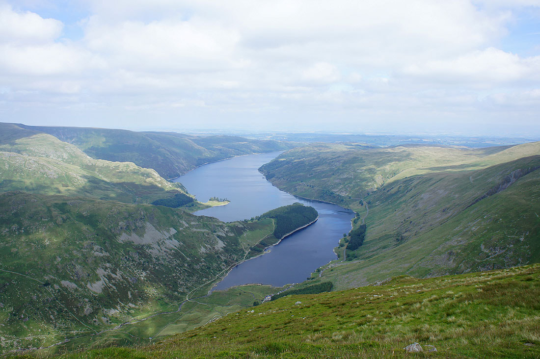
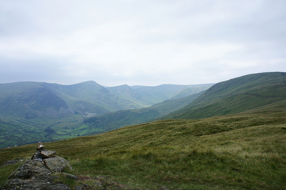
Haweswater. From Adam Seat I joined the path from the Gatescarth Pass to Harter Fell.
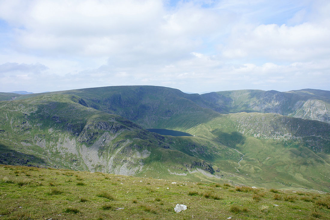
Blea Water cradled beneath the slopes of High Street
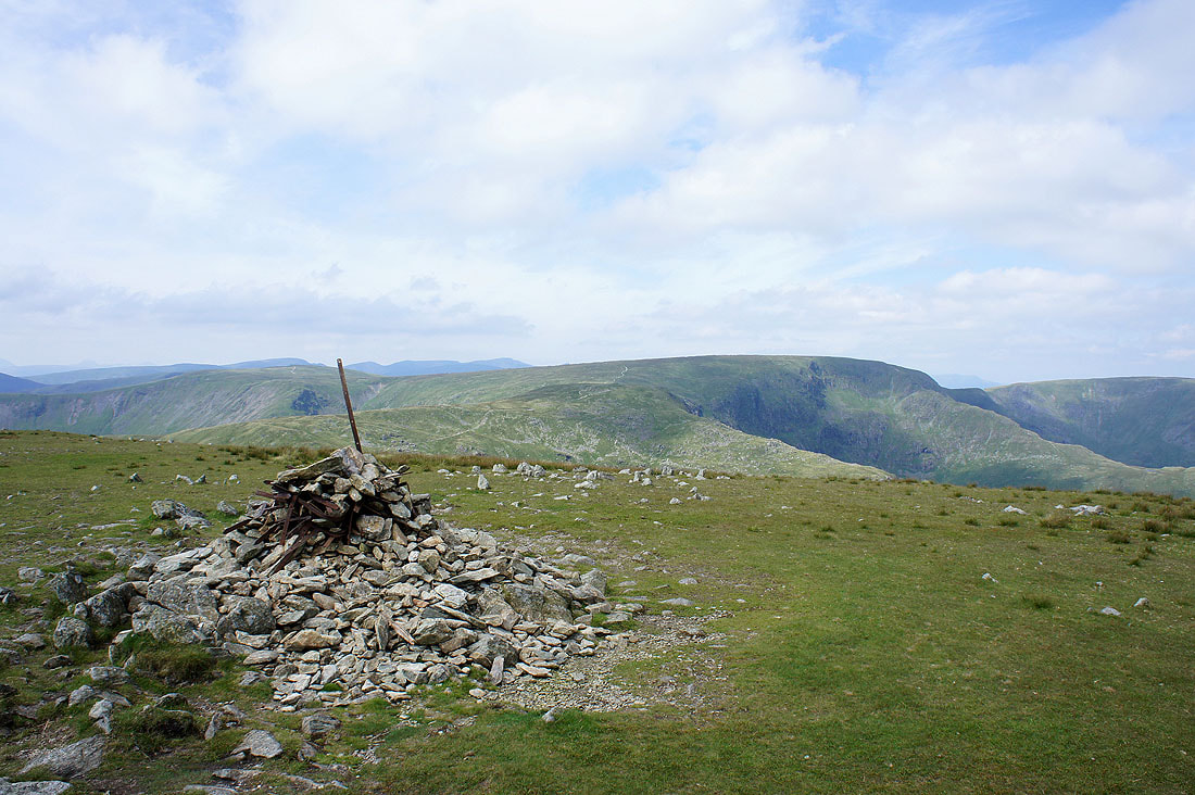
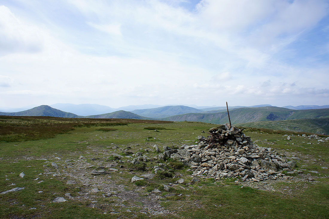
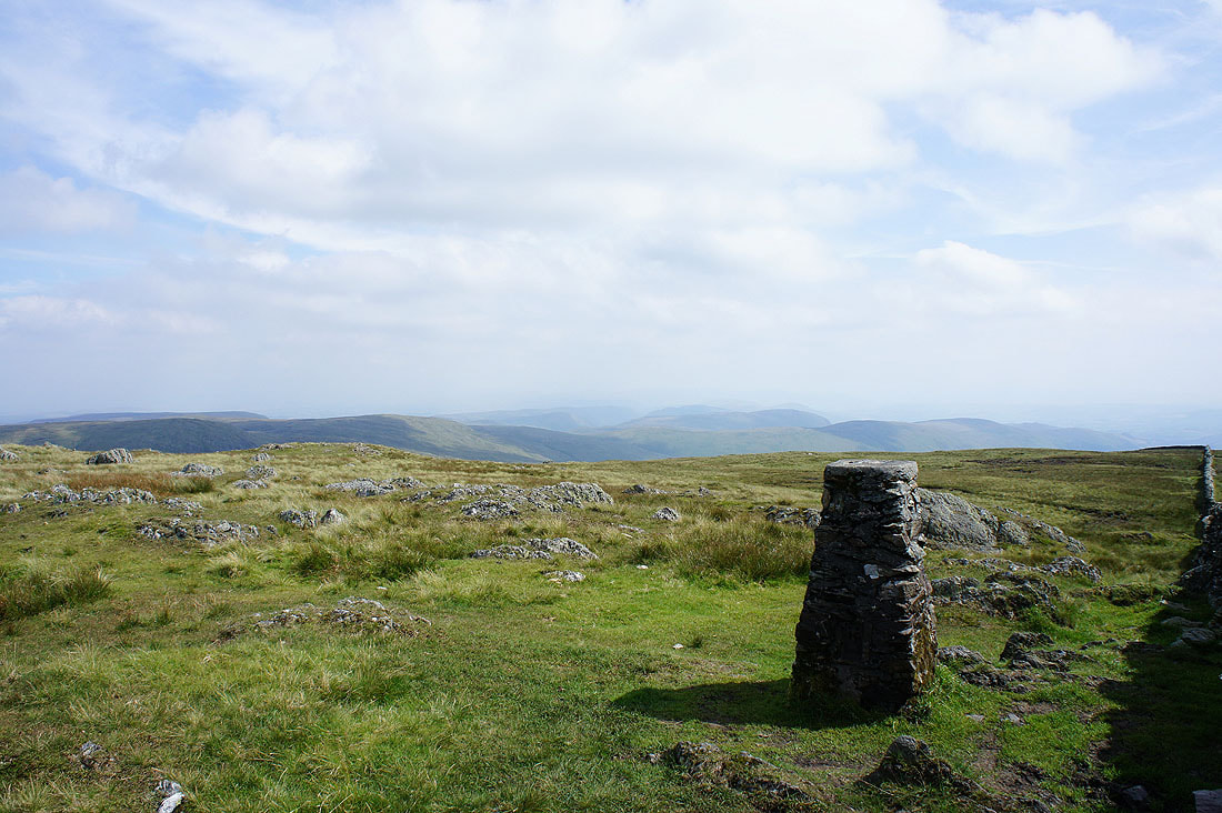
The summit of Harter Fell with High Street behind
My route up was by the fence and if the visibility was better, Cross Fell and the North Pennines would be able to be seen on the horizon
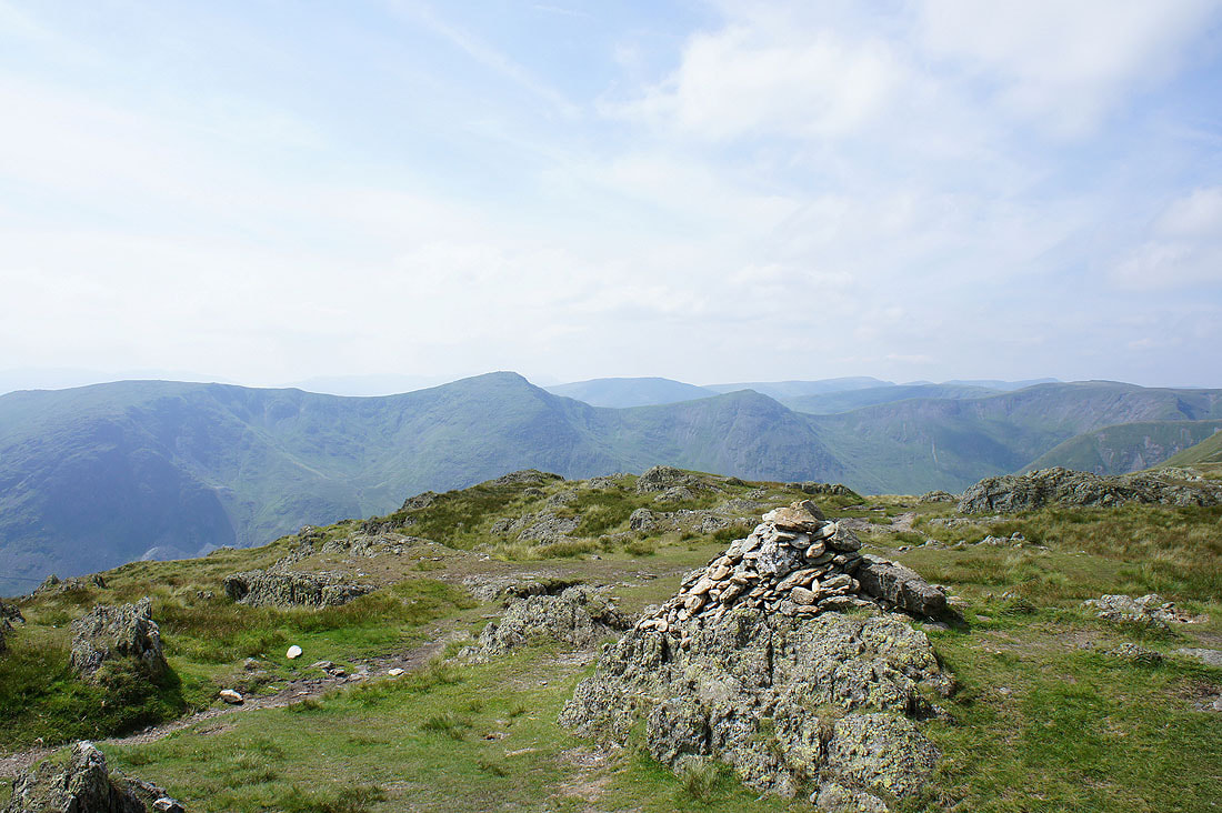
The Ill Bell ridge and lots of other fells in view
High Street, Rampsgill Head, Kidsty Pike and High Raise
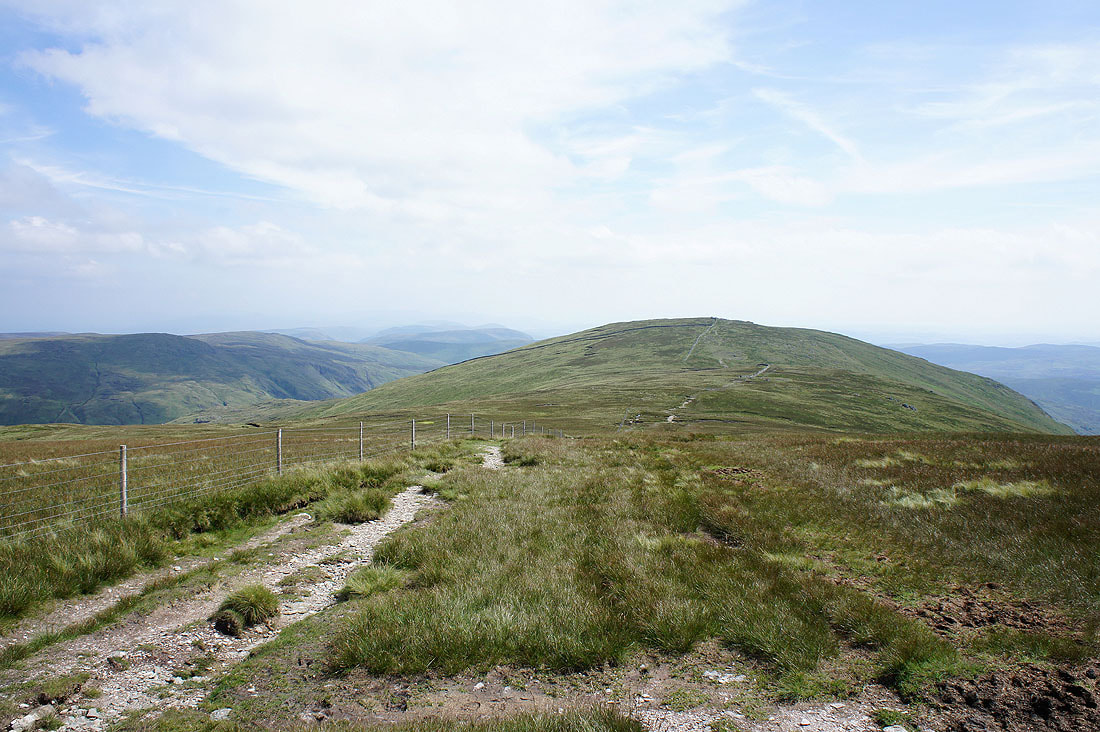
Heading for Kentmere Pike
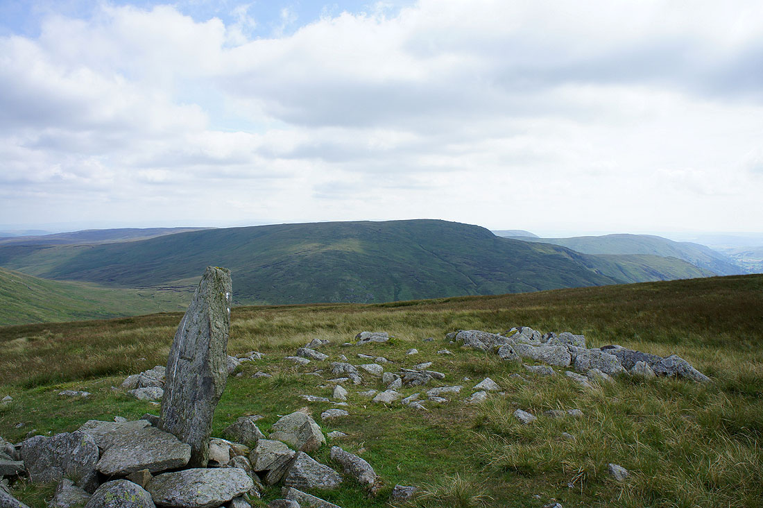
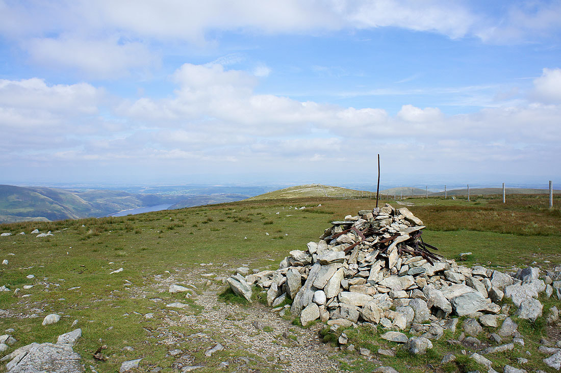
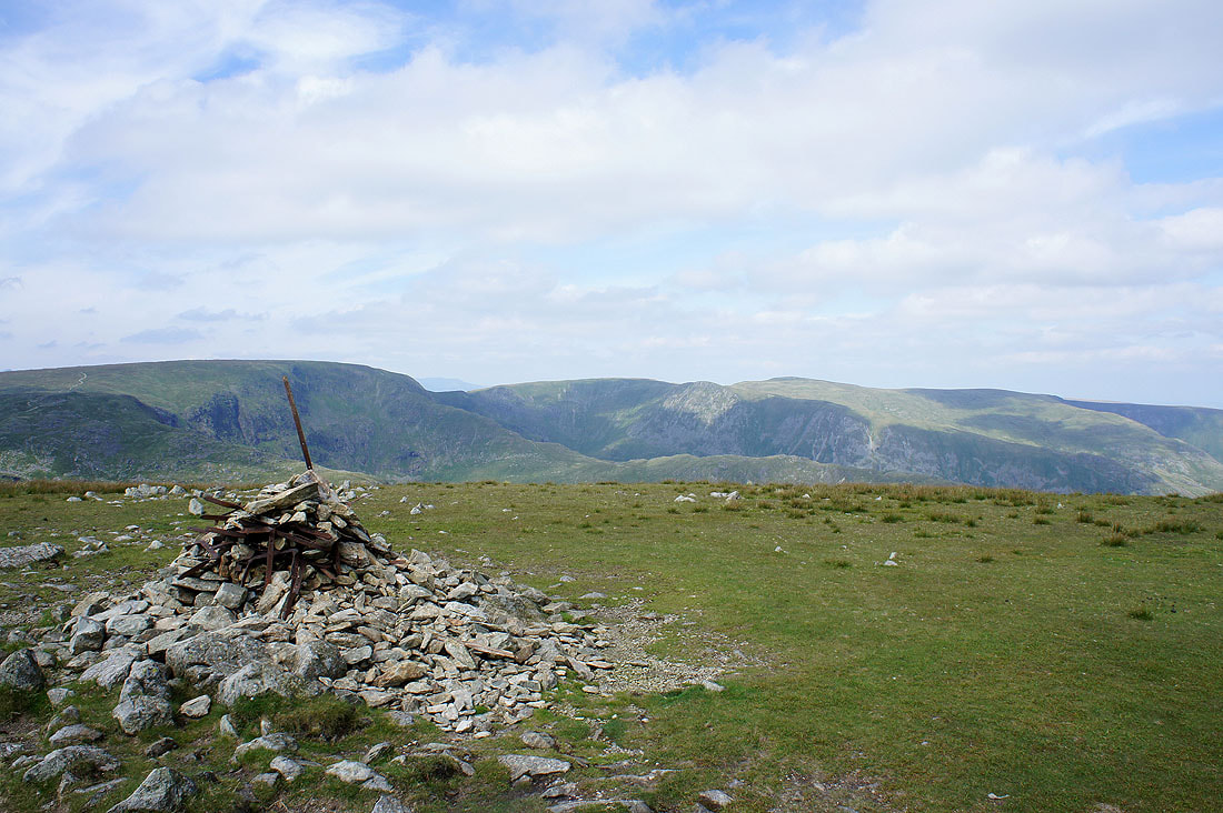
On the summit of Kentmere Pike
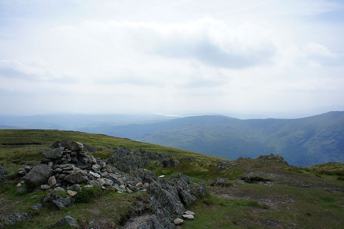
Looking towards the Shap fells
That's better, there's no wall in the way. The fells of Yoke, Ill Bell, Froswick and Thornthwaite Crag are on the other side of Kentmere.
Windermere just visible through the haze

Looking back up to Harter Fell
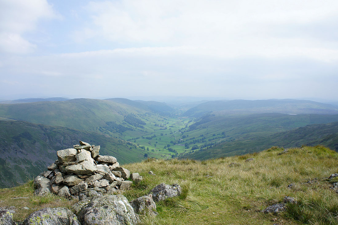
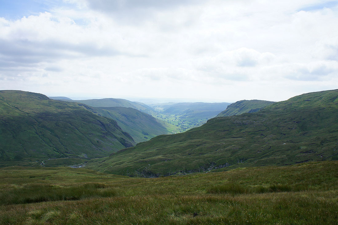
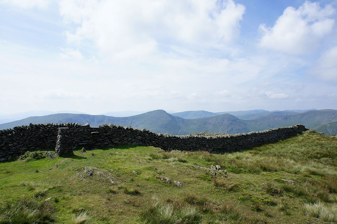
From Kentmere Pike to Shipman Knotts it's worth making the detour to the top of Goat Scar to see the views down into Longsleddale
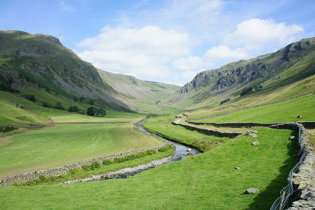
The track heading for the Gatescarth Pass, Buckbarrow Crag on the right and Branstree the highest hill at the top
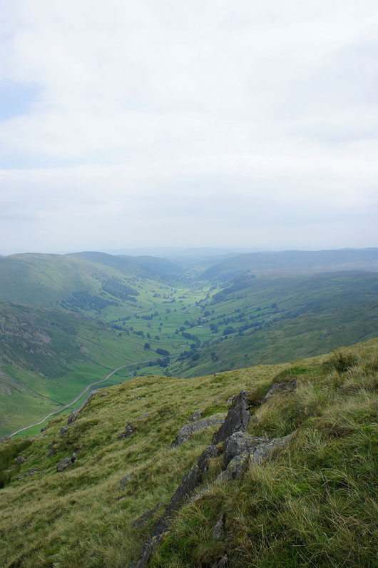
Longsleddale
The final top of the day, Shipman Knotts and its turned a little gloomy for the moment. The head of Kentmere with the Ill Bell ridge on the left.
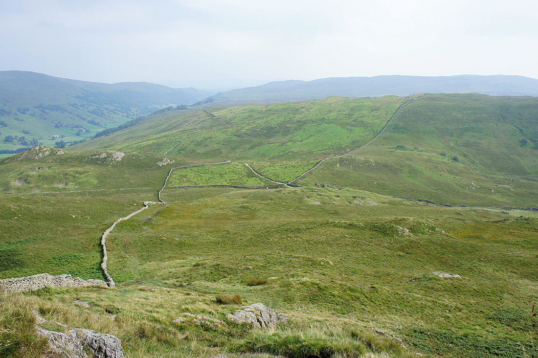
Heading for the "Stile End" pass. Turn left for Longsleddale and right for Kentmere.
Longsleddale as I head down to Sadgill
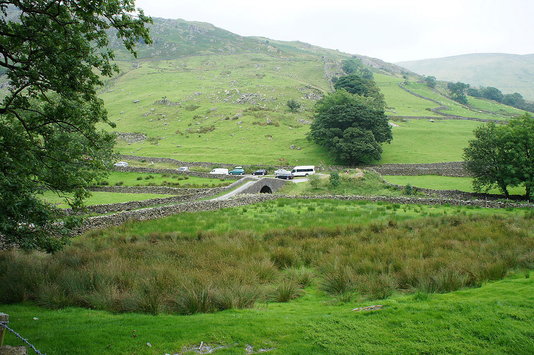
Back over the bridge to where I'm parked
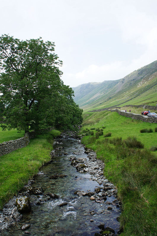
Crossing the River Sprint