11th August 2018 - The Howgills
Walk Details
Distance walked: 13.1 miles
Total ascent: 3547 ft
OS map used: OL19 - Howgill Fells & Upper Eden Valley
Time taken: 7 hrs
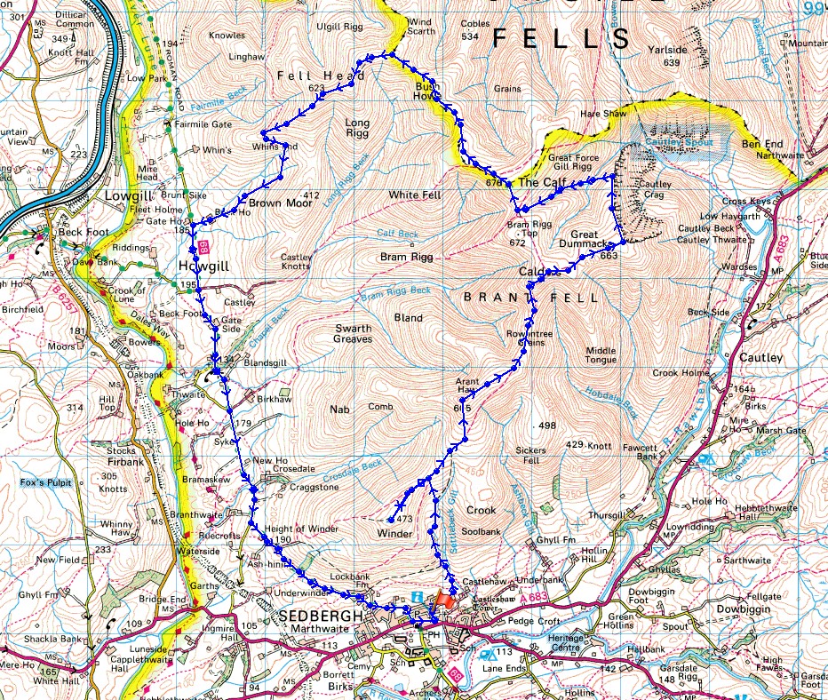
Route description: Sedbergh-Joss Lane-Settlebeck Gill-Winder-Arant Haw-Calders-Great Dummacks-Cautley Crag-Red Gill Beck-Force Gill Beck-The Calf-Bush Howe-Breaks Head- Fell Head-Whin's End-Beck Houses Gate-Beck House-Howgill Lane-Sedbergh
No walking year would be complete without a visit to the Howgills and I certainly picked a great day for my first one this year. This summer has proved to be a glorious one and I've enjoyed some fabulous days walking during the past few months. I can add this one to the list. There were increasing amounts of sunshine during the morning and into the afternoon, and warm, even on the tops of the fells. A brisk breeze made it comfortable and the perfect day for being up there. I decided to get up onto the fells straight away and leave the long walk down Howgill Lane to finish with. There was increasing cloud forecast for the second half of the afternoon and this proved to be the case as the sunshine turned hazy as I made it down to Howgill Lane and it was quite grey by the time I was back in Sedbergh. Better to be on the fells in sunshine than walking along the road. I enjoyed an excellent ice cream from Howgill Fellside Ice Cream on returning to Sedbergh.
From the car park in Sedbergh next to Joss Lane I walked up Joss Lane and followed the signs for "To the fell" to reach access land and the bridleway above Settlebeck Gill. I left it as it neared its top to head south to the summit of Winder. I then made my way back north to pick up the bridleway towards Arant Haw, it was left again to visit the summit of Arant Haw, then on across Rowantree Grains and up to the summit of Calders. From Calders I followed the fence east to the top of Middle Tongue before continuing on to the broad top of Great Dummacks and the southern end of Cautley Crag. I then made my way north along the top of the crag before dropping down to Red Gill Beck and the sheepfold next to it, where I stopped for lunch. After lunch I followed Force Gill Beck up to its source at the col between Bram Rigg Top and The Calf before heading up to the trig point on The Calf. The path to the northwest to Bush Howe was then taken, and then on to Breaks Head and Fell Head, where I made my descent to Whin's End to pick up the footpath to Beck Houses Gate, Beck House and Howgill Lane. A long walk south along Howgill Lane eventually brought me back to Sedbergh.
Total ascent: 3547 ft
OS map used: OL19 - Howgill Fells & Upper Eden Valley
Time taken: 7 hrs
Route description: Sedbergh-Joss Lane-Settlebeck Gill-Winder-Arant Haw-Calders-Great Dummacks-Cautley Crag-Red Gill Beck-Force Gill Beck-The Calf-Bush Howe-Breaks Head- Fell Head-Whin's End-Beck Houses Gate-Beck House-Howgill Lane-Sedbergh
No walking year would be complete without a visit to the Howgills and I certainly picked a great day for my first one this year. This summer has proved to be a glorious one and I've enjoyed some fabulous days walking during the past few months. I can add this one to the list. There were increasing amounts of sunshine during the morning and into the afternoon, and warm, even on the tops of the fells. A brisk breeze made it comfortable and the perfect day for being up there. I decided to get up onto the fells straight away and leave the long walk down Howgill Lane to finish with. There was increasing cloud forecast for the second half of the afternoon and this proved to be the case as the sunshine turned hazy as I made it down to Howgill Lane and it was quite grey by the time I was back in Sedbergh. Better to be on the fells in sunshine than walking along the road. I enjoyed an excellent ice cream from Howgill Fellside Ice Cream on returning to Sedbergh.
From the car park in Sedbergh next to Joss Lane I walked up Joss Lane and followed the signs for "To the fell" to reach access land and the bridleway above Settlebeck Gill. I left it as it neared its top to head south to the summit of Winder. I then made my way back north to pick up the bridleway towards Arant Haw, it was left again to visit the summit of Arant Haw, then on across Rowantree Grains and up to the summit of Calders. From Calders I followed the fence east to the top of Middle Tongue before continuing on to the broad top of Great Dummacks and the southern end of Cautley Crag. I then made my way north along the top of the crag before dropping down to Red Gill Beck and the sheepfold next to it, where I stopped for lunch. After lunch I followed Force Gill Beck up to its source at the col between Bram Rigg Top and The Calf before heading up to the trig point on The Calf. The path to the northwest to Bush Howe was then taken, and then on to Breaks Head and Fell Head, where I made my descent to Whin's End to pick up the footpath to Beck Houses Gate, Beck House and Howgill Lane. A long walk south along Howgill Lane eventually brought me back to Sedbergh.
Route map
© Crown copyright. All rights reserved. License number PU 100034184.
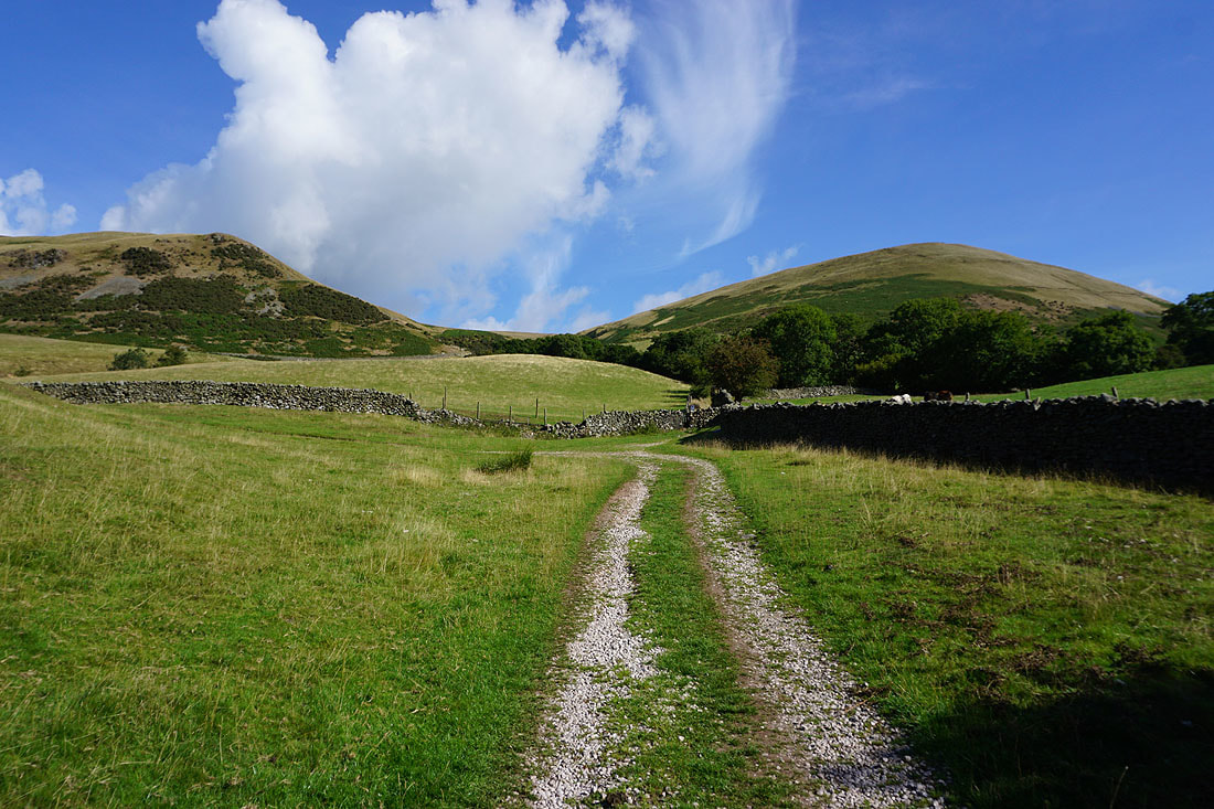
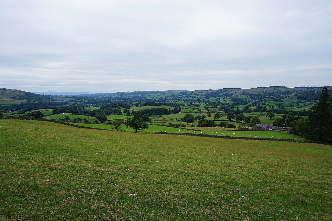
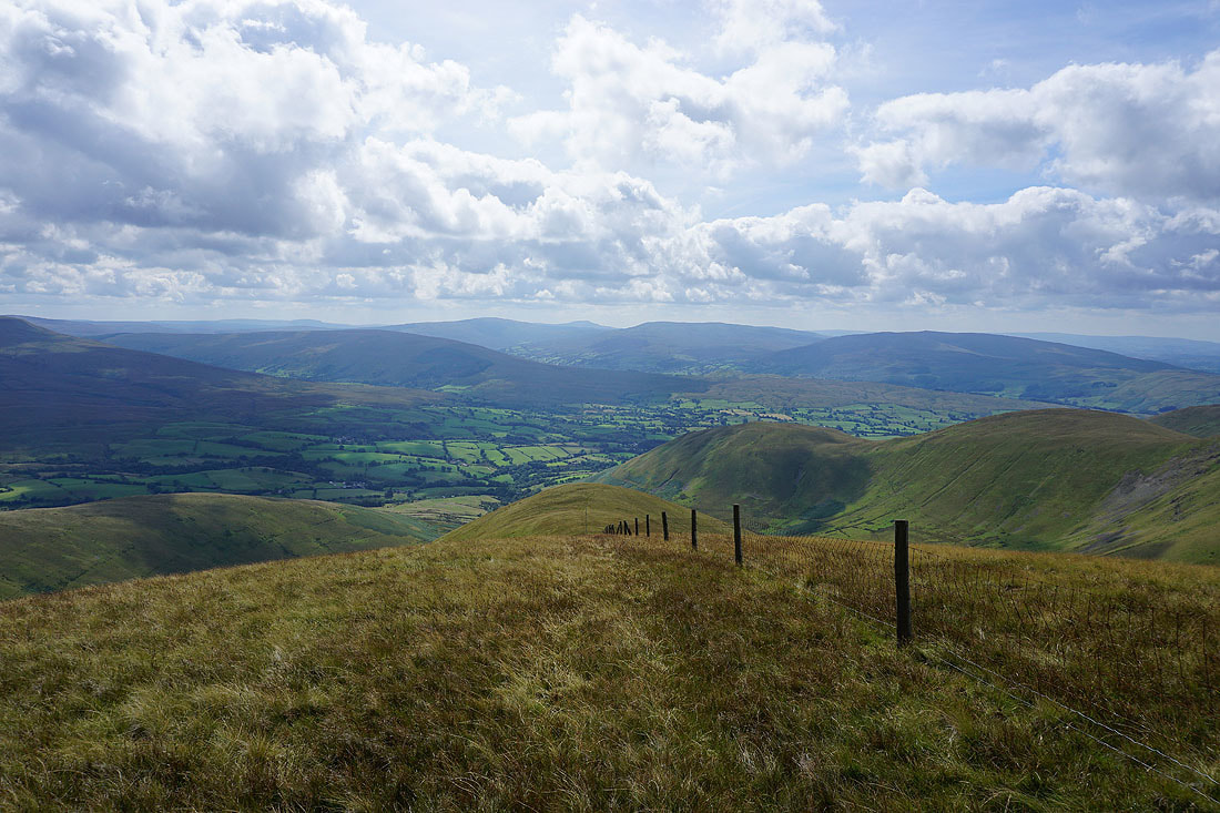
Heading for Settlebeck Gill and the open fell
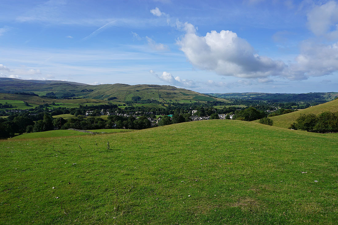
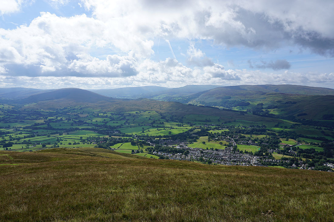
Looking back down on Sedbergh
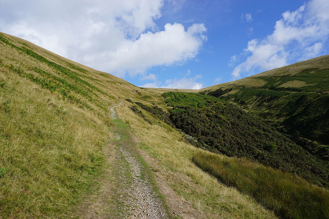
On the path above Settlebeck Gill
Before I head for Arant Haw, a detour to the top of Winder
The trig point and toposcope on the top of Winder
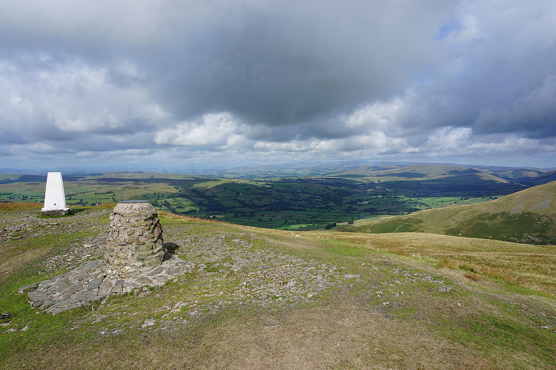
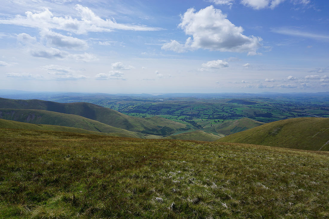
Looking across the Lune Valley to the Lake District fells
Aye Gill Pike, Whernside, Great Coum and Middleton Fell with Sedbergh below
Looking across to the Lake District..
..as I head for Arant Haw
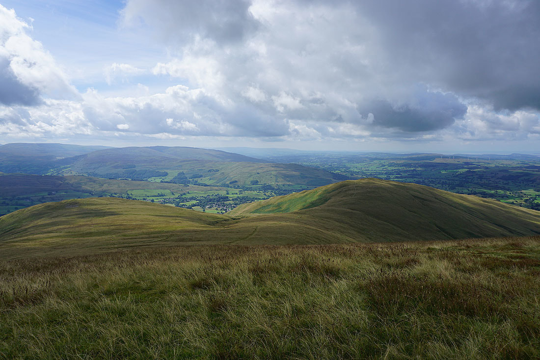
Looking back to Winder
On the summit of Arant Haw
There's a fantastic all round view to take in from up here. Starting with looking southeast to Baugh Fell, Garsdale, Great Knoutberry Hill, Aye Gill Pike, Penyghent, Whernside, Dentdale and Great Coum.
Aye Gill Pike, Penyghent, Whernside, Dentdale, Great Coum and Middleton Fell
Middleton Fell with Crook and Winder below
Finally, looking west along the ridge of Nab and across the Lune Valley to the Lake District fells
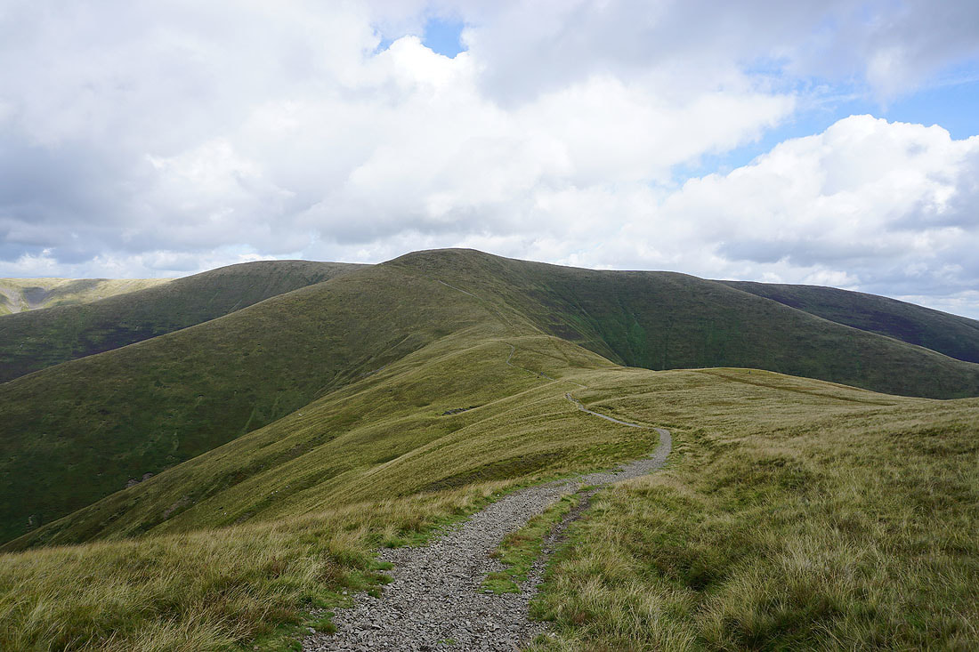
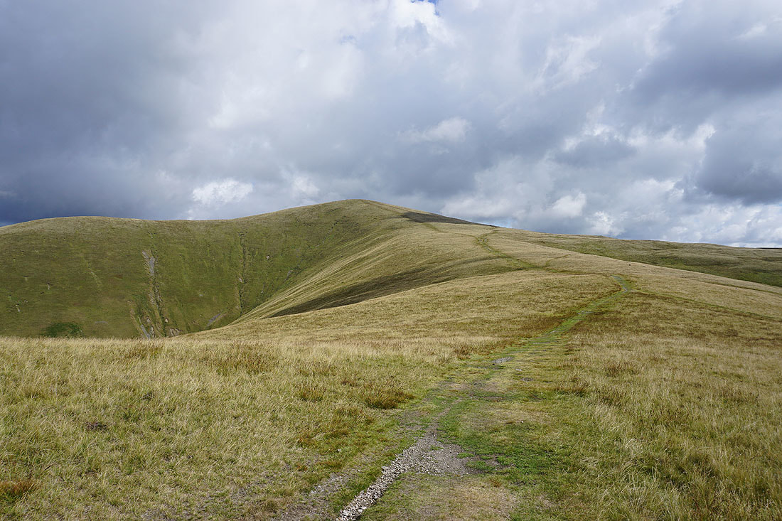
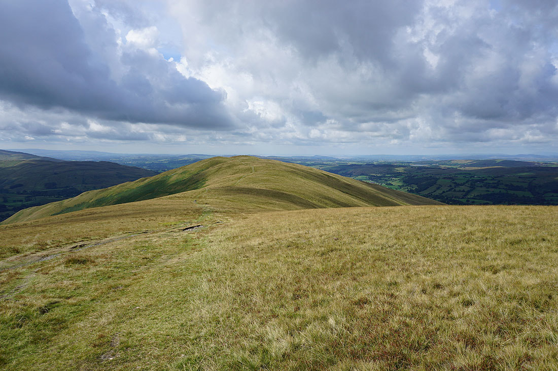
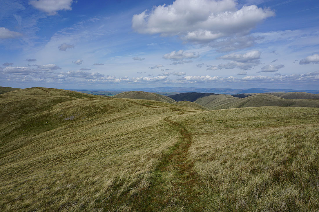
Heading across Rowantree Grains to Calders
Passing Rowantree Grains Fold
Looking back to Arant Haw
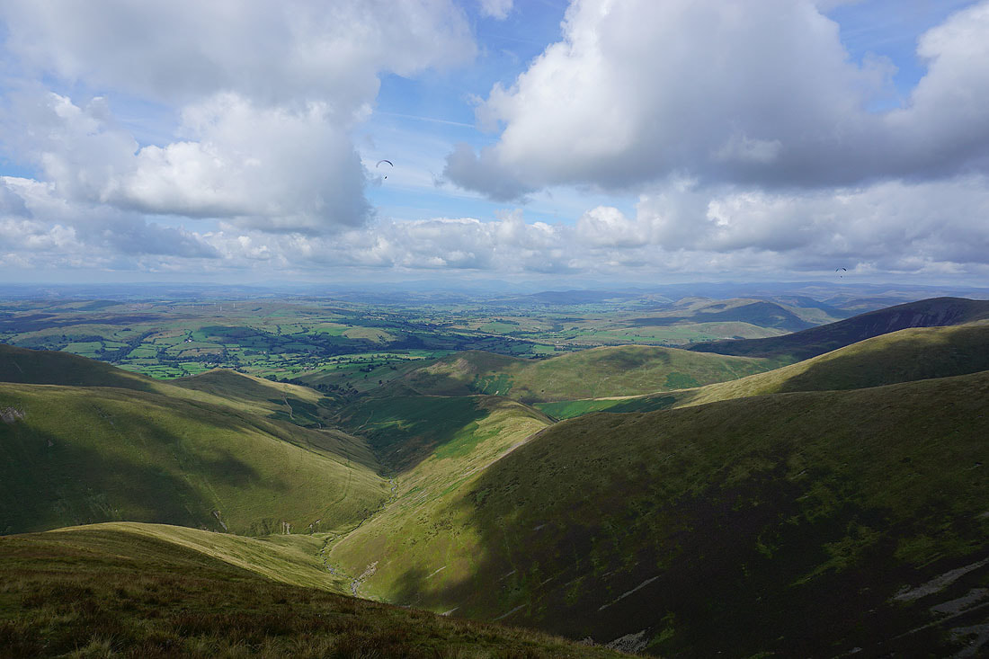
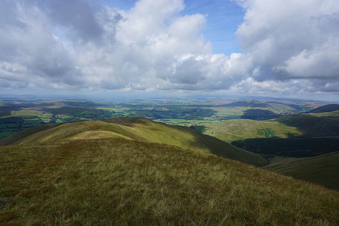
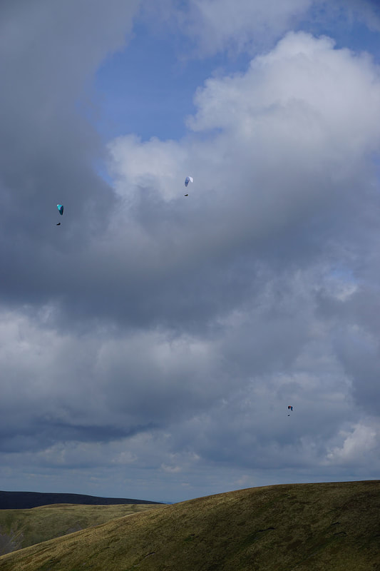
On the summit of Calders. Looking west to the Lake District fells. This won't be the only photo that I take today with paragliders in it.
Bram Rigg Top

Baugh Fell, Penyghent, Aye Gill Pike, Whernside, Ingleborough and Great Coum
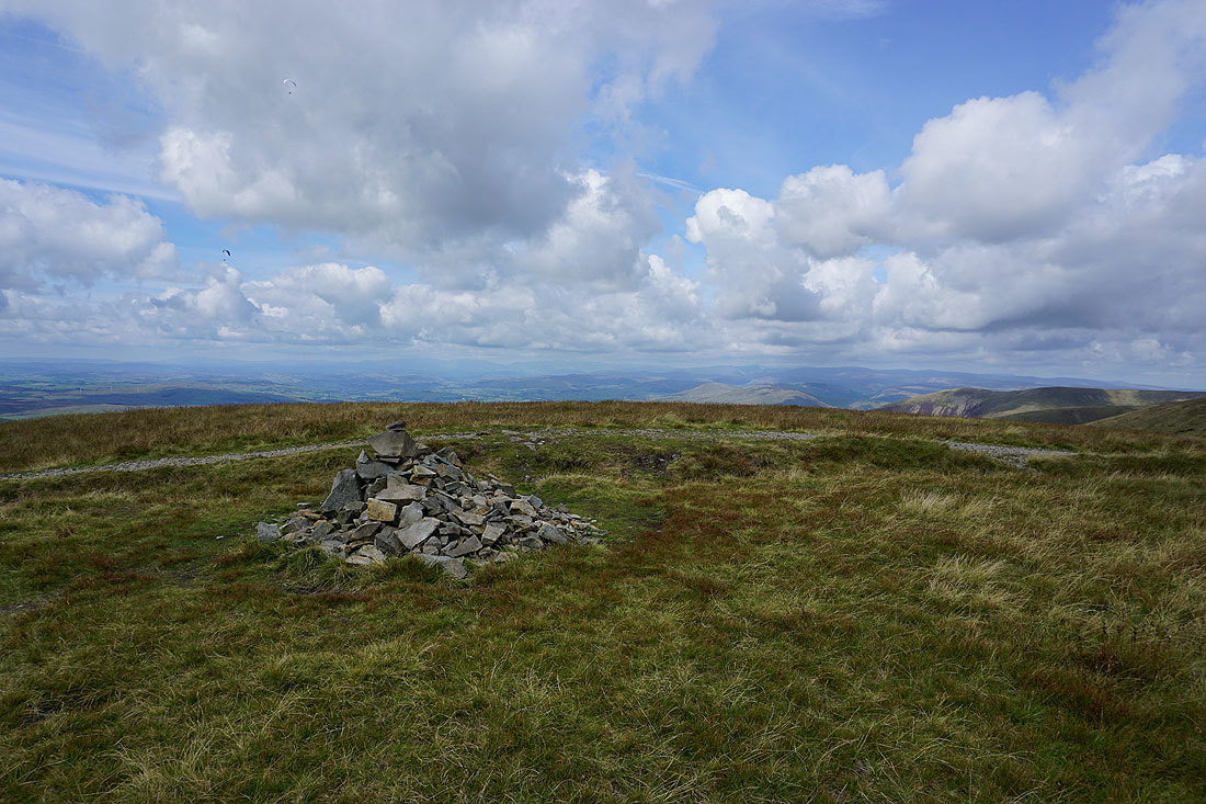
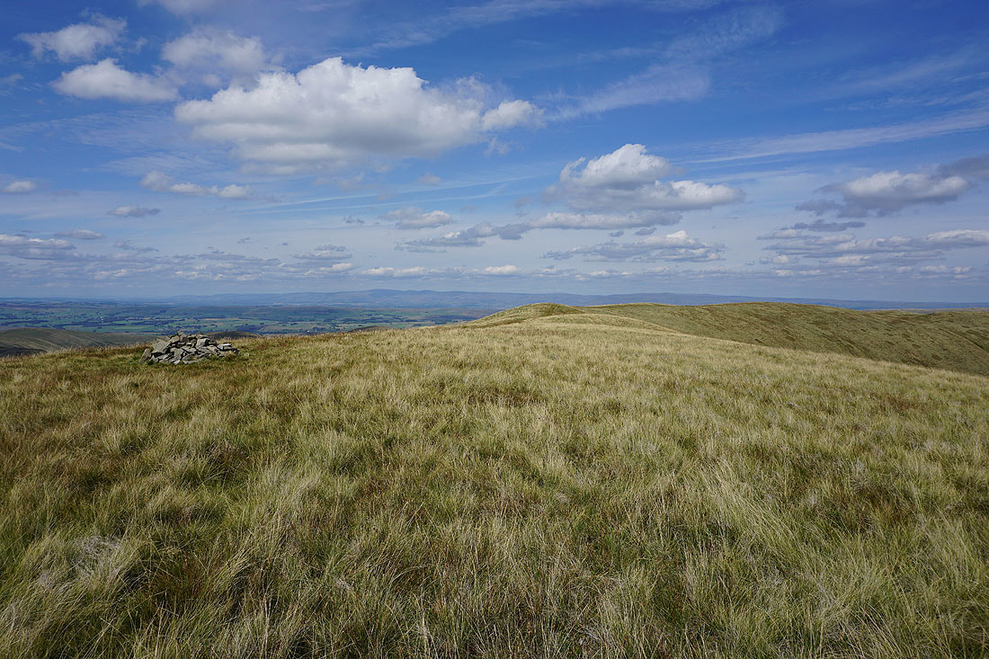
The summit cairn on Calders
Middleton Fell and Arant Haw with Morecambe Bay in the distance
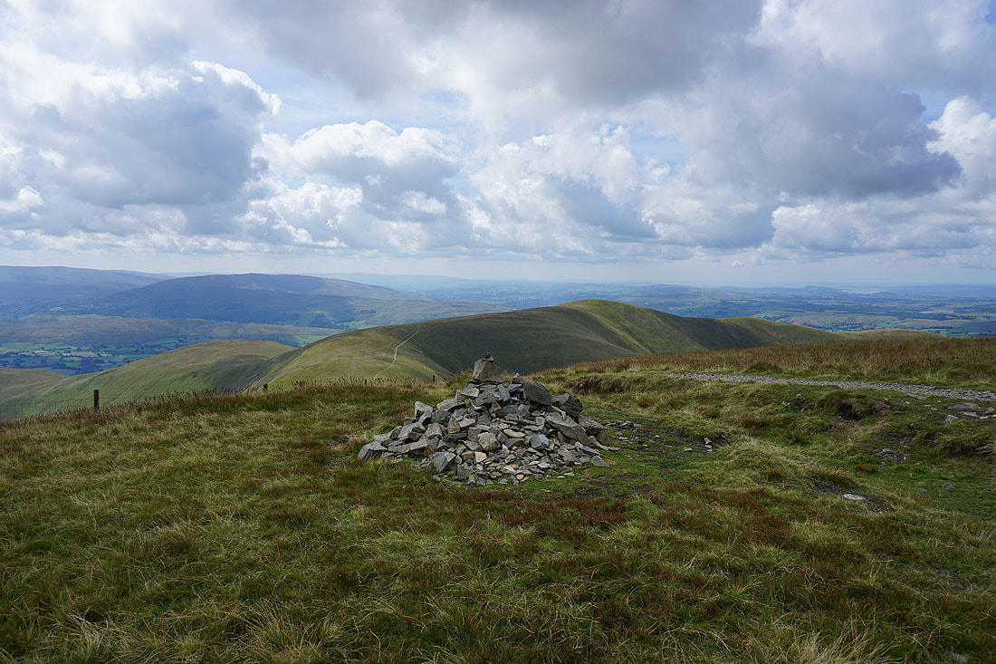
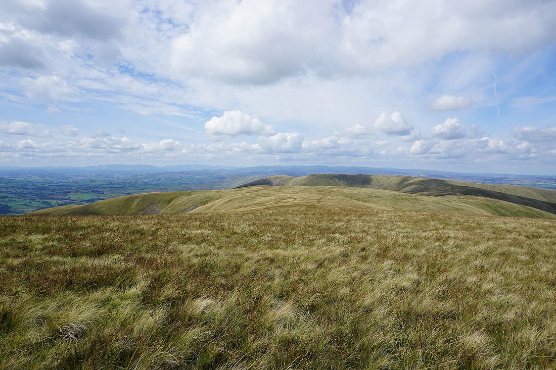
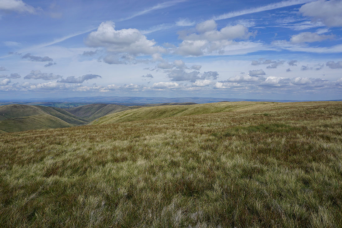
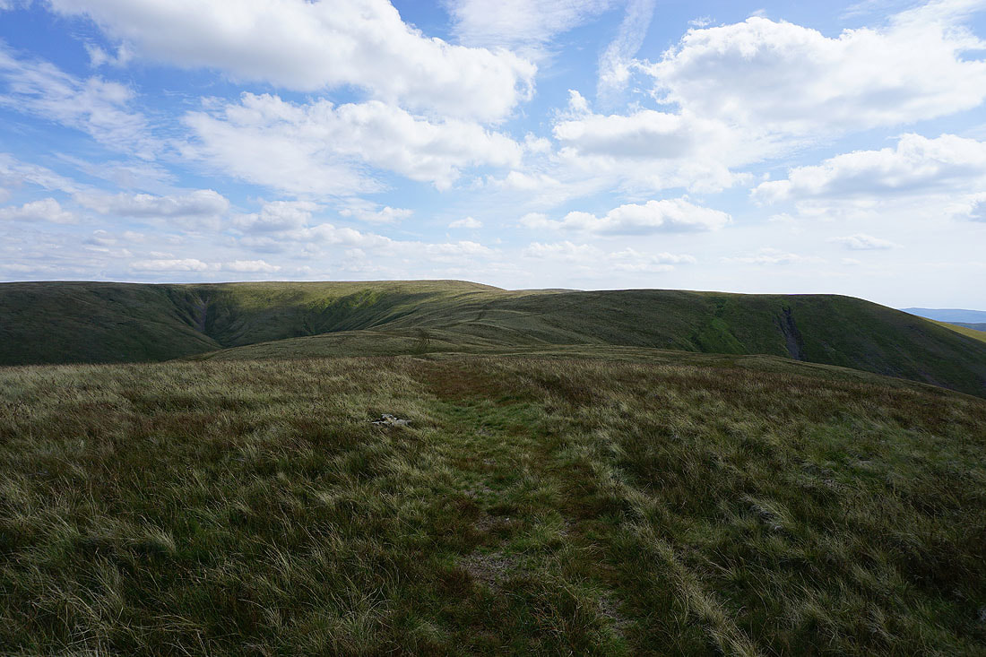
Fell Head, Bram Rigg Top and The Calf
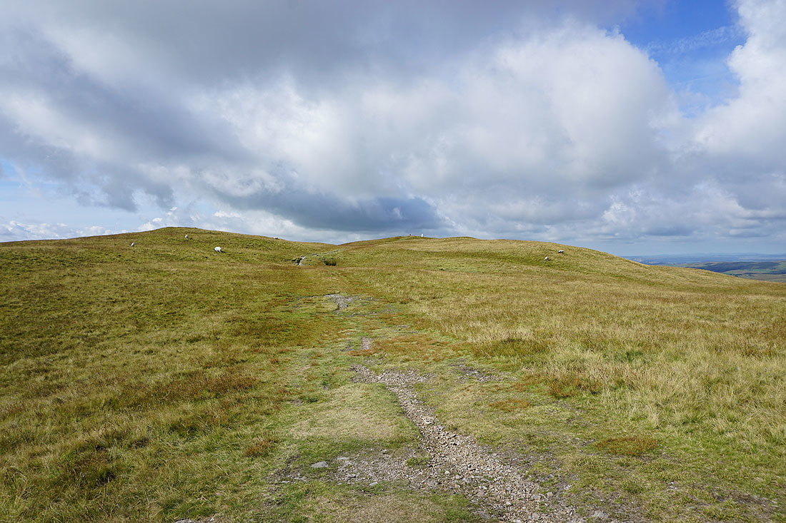
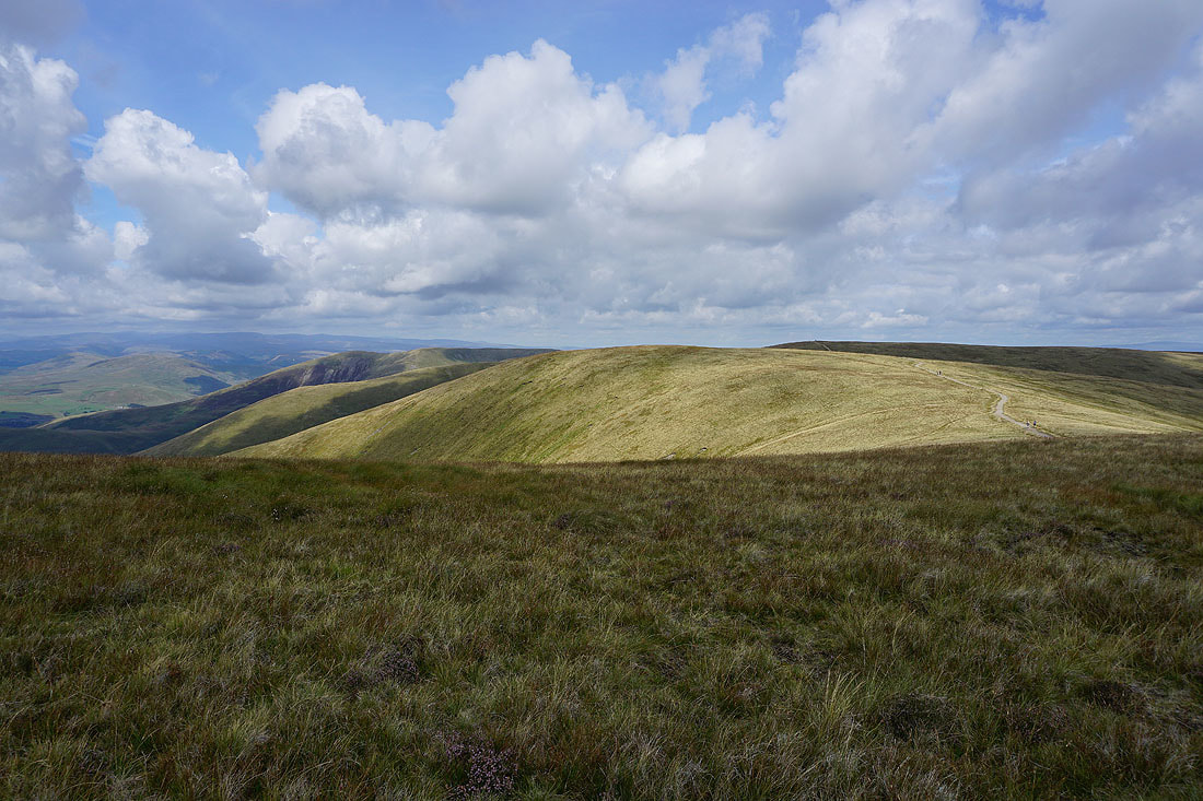
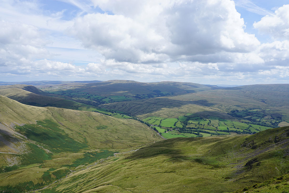
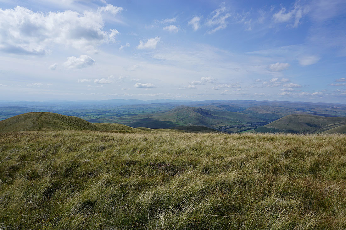
Heading for Great Dummacks
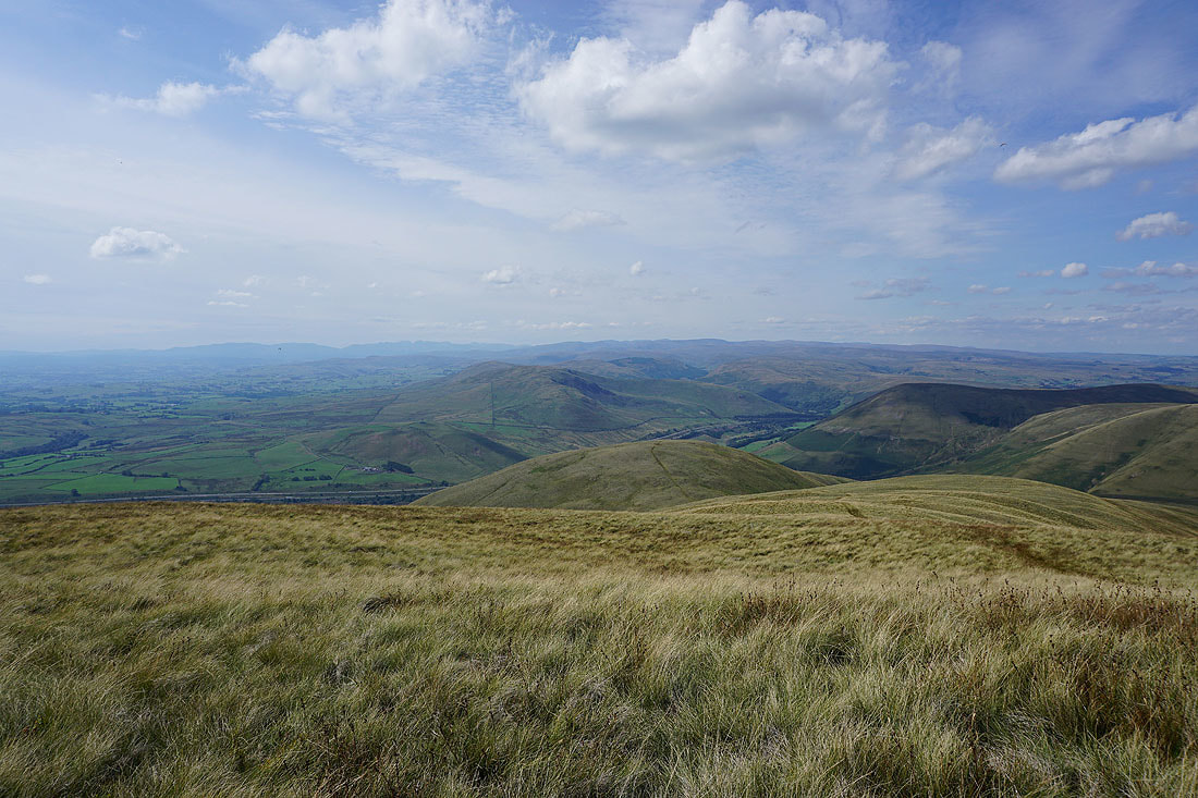
Looking across the Rawthey Valley to Aye Gill Pike, Whernside, Ingleborough, Great Coum and Middleton Fell from the top of Middle Tongue
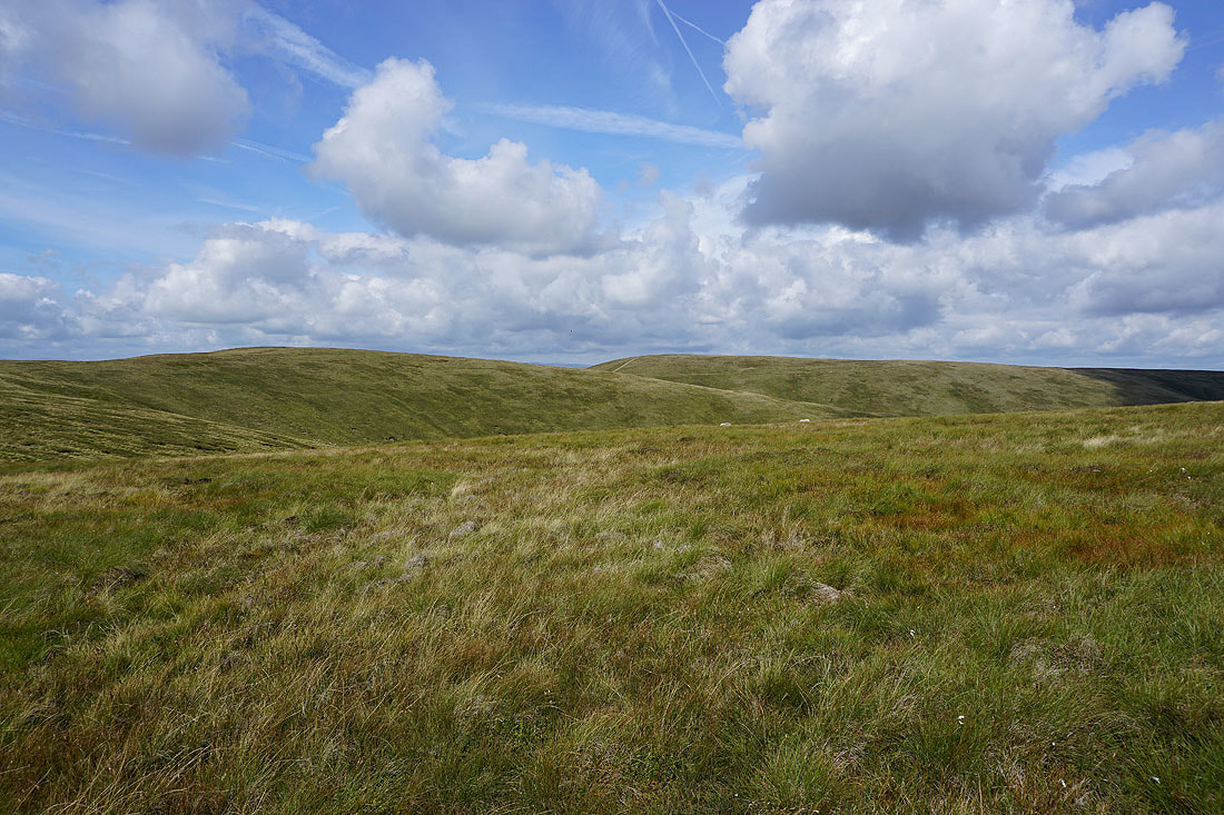
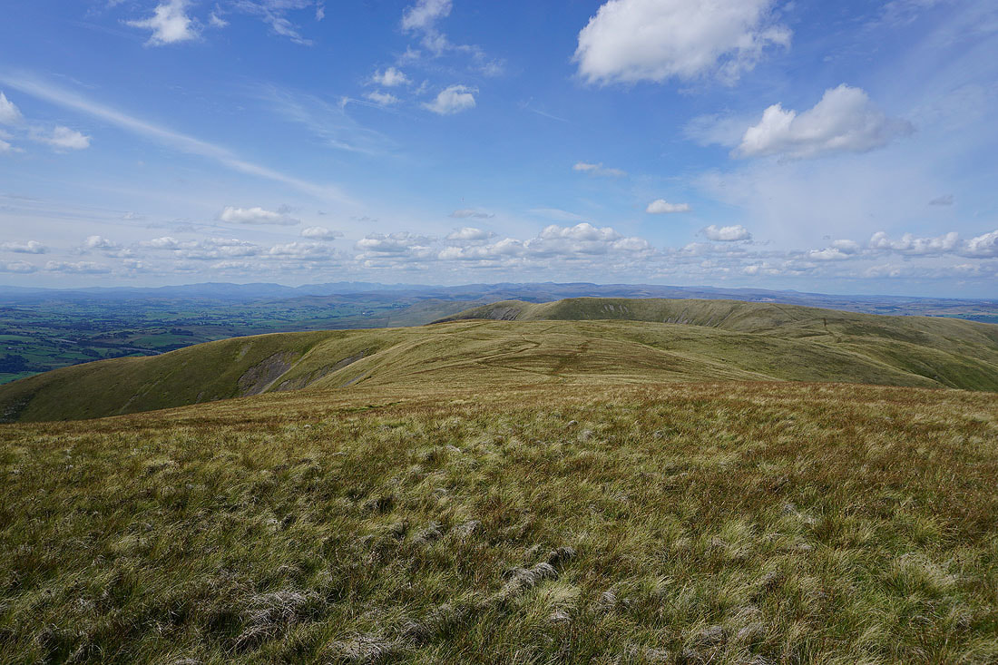
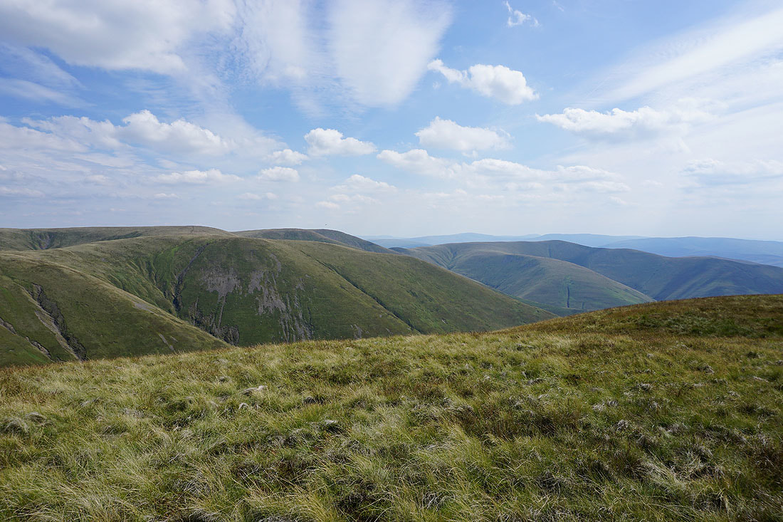
Bram Rigg Top and The Calf from Great Dummacks
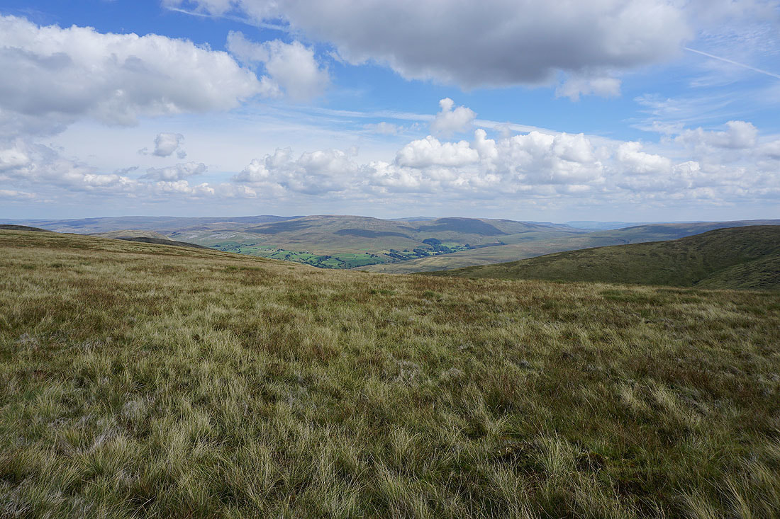
Yarlside with the North Pennines in the distance
Bowderdale and Yarlside as I reach the southern end of Cautley Crag
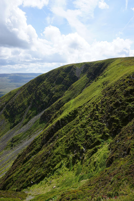
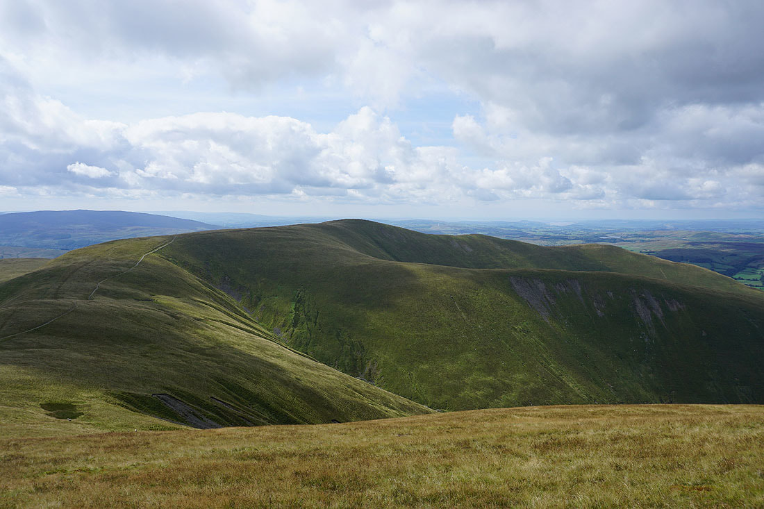
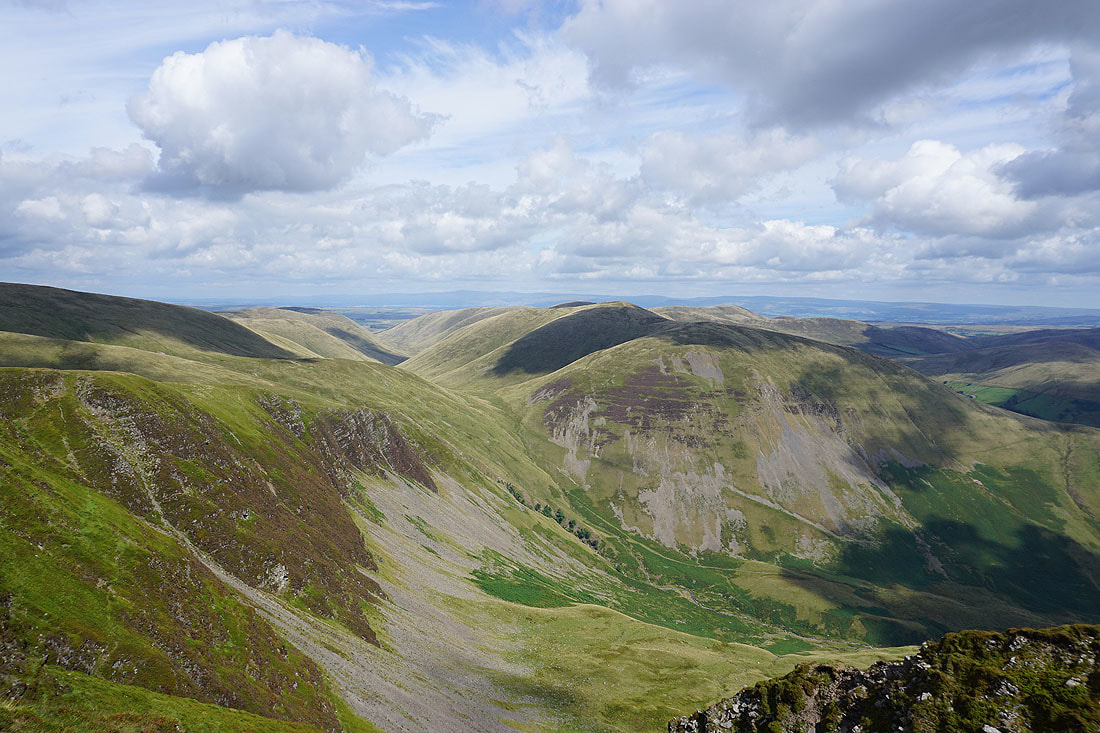
Cautley Crag
Wild Boar Fell and Swarth Fell from the top of Cautley Crag
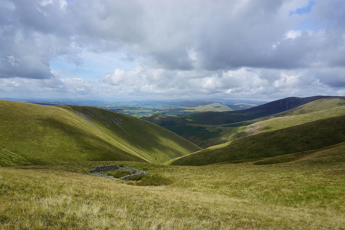
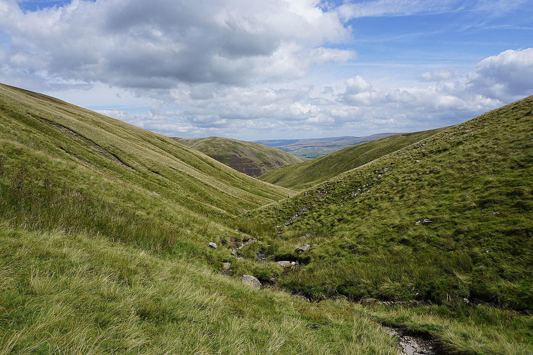
I've made my way down to Red Gill Beck from the top of Cautley Crag..
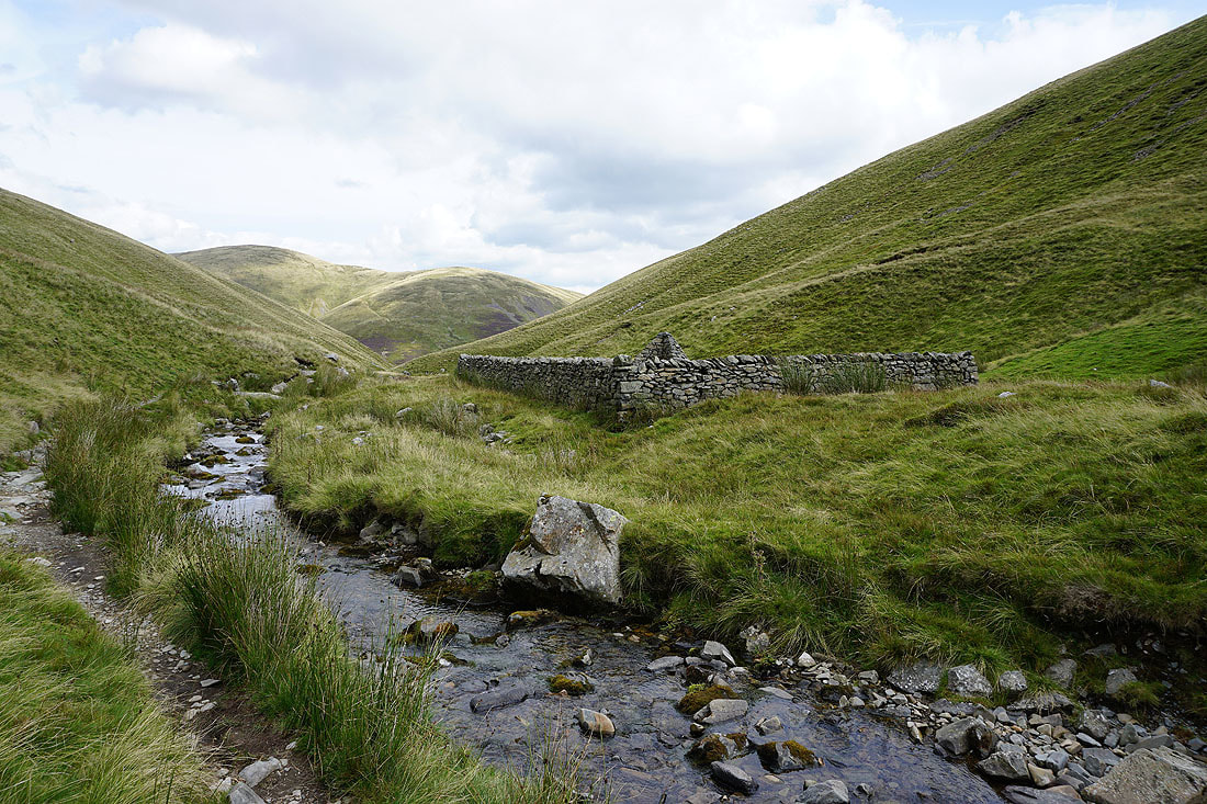
..to have my lunch at the sheepfold next to it
|
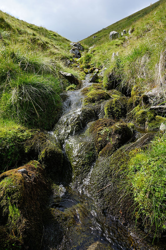
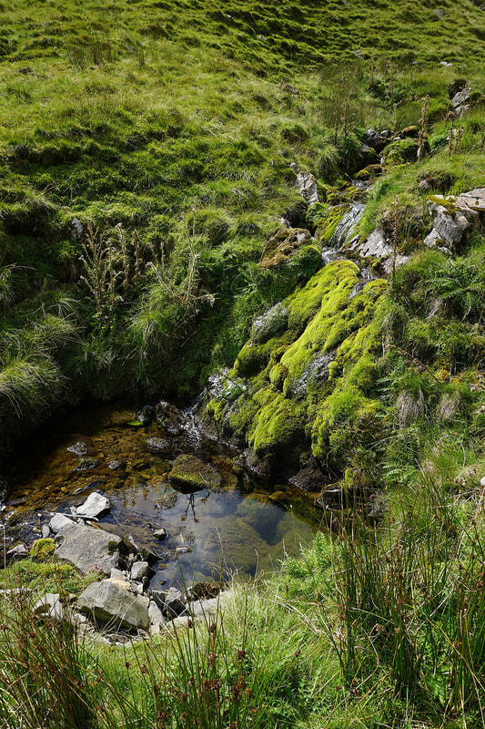
|
Force Gill Beck. Movement caught my eye in the pool in the left hand photo. I stopped and stood still for a while and much to my surprise I saw a fish. How did it get there?
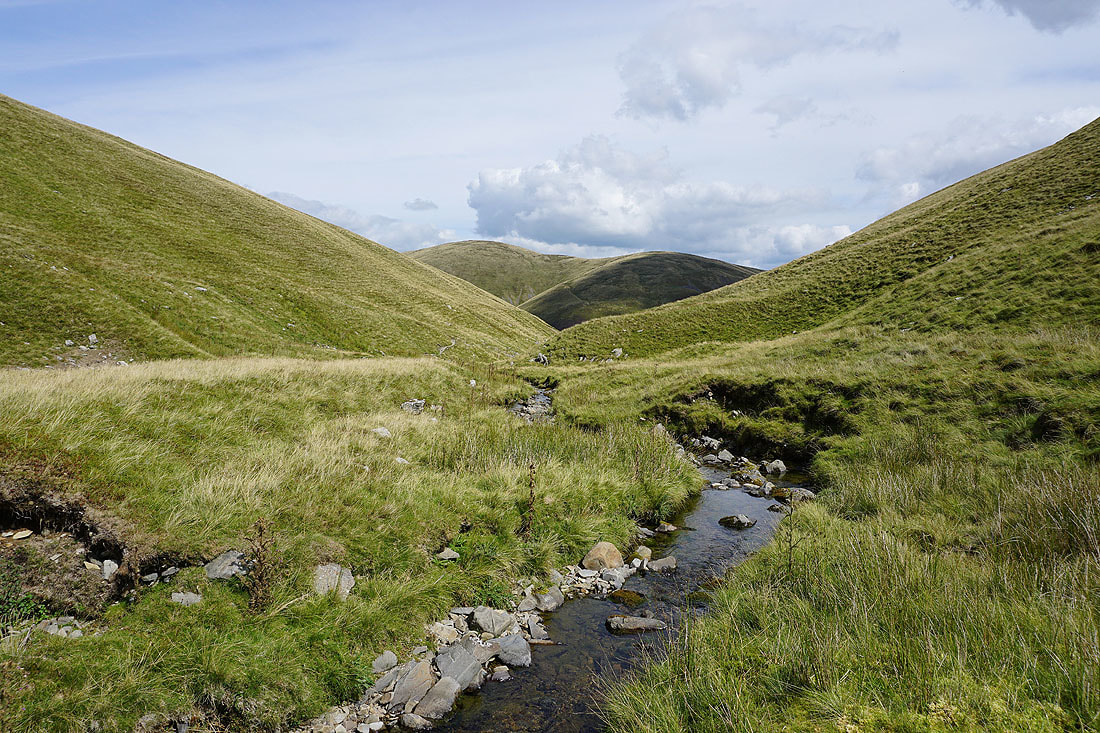
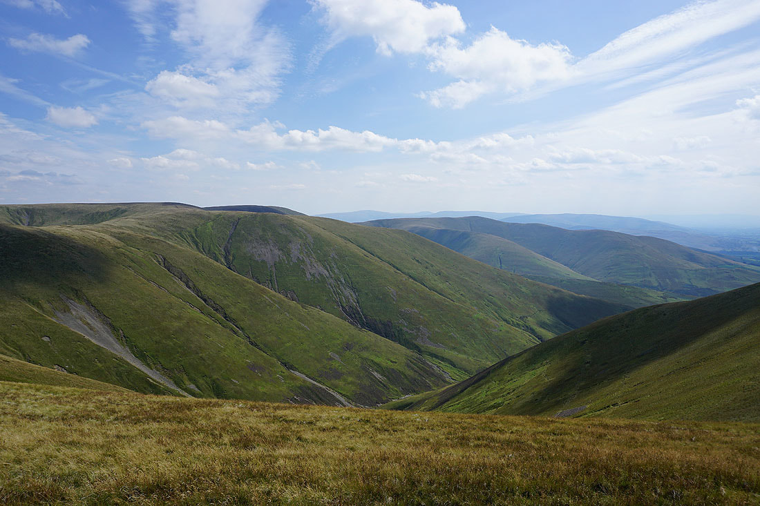
Looking back down Force Gill Beck as I reach the col between Bram Rigg Top and The Calf
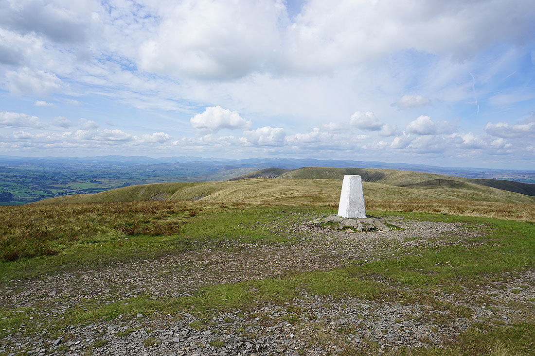
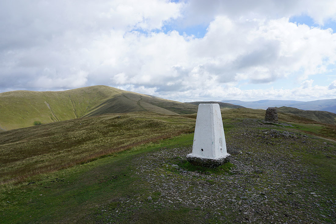
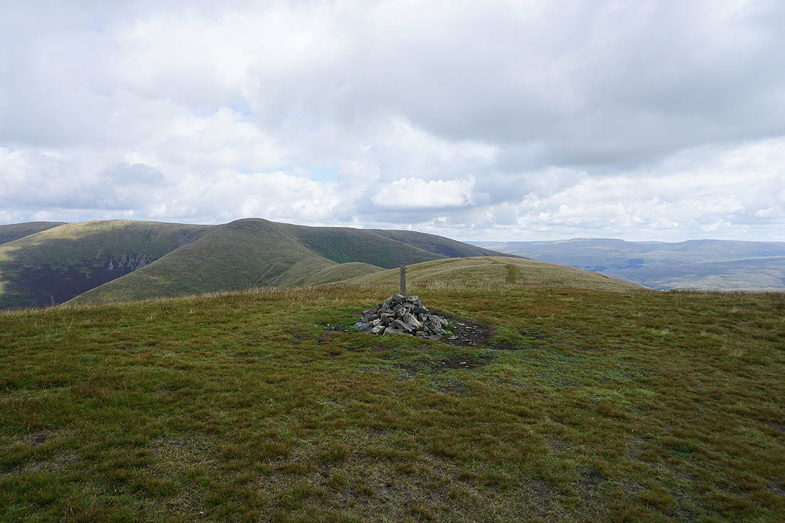
Finally at the trig point on the summit of The Calf. One of the best viewpoints for miles around in my opinion.
The Lake District fells to the west. The air is clear enough today for me to easily be able to make out Scafell Pike, Great Gable and Helvellyn.
Wild Boar Fell and Swarth Fell
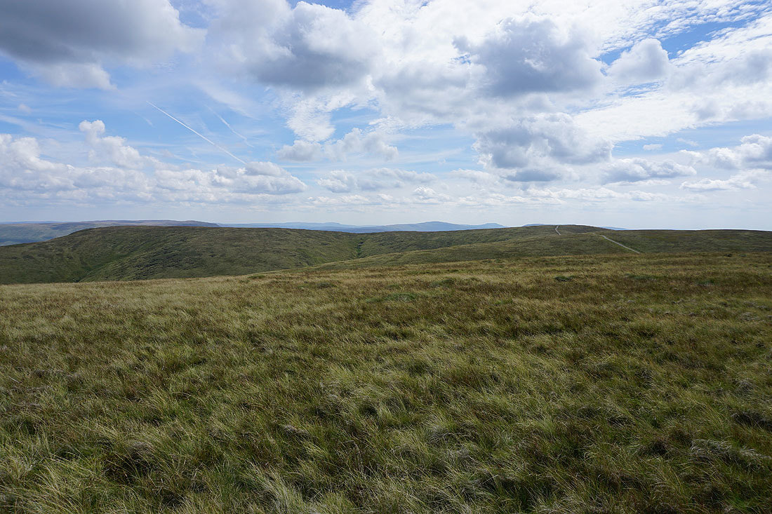
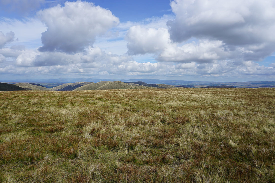
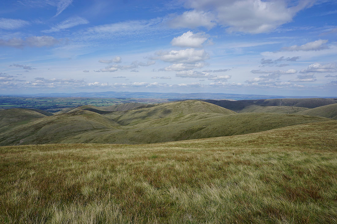
Baugh Fell, Penyghent, Whernside and Ingleborough beyond the plateau of Great Dummacks to Calders
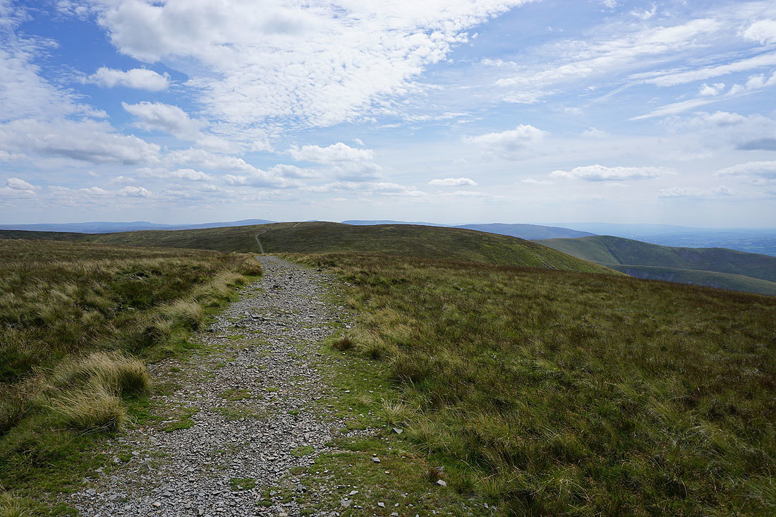
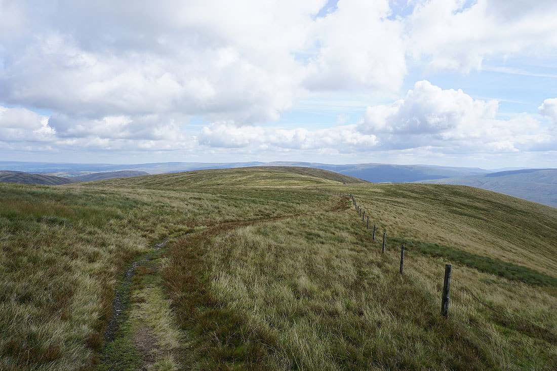
The bridleway to Calders
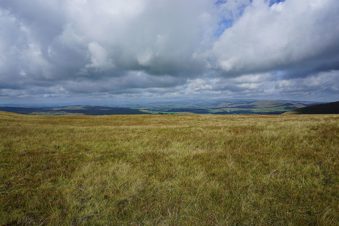
Morecambe Bay in the distance to the southwest
I couldn't resist taking another photo of the view across to the Lake District
The North Pennines in the distance on the other side of the Eden Valley
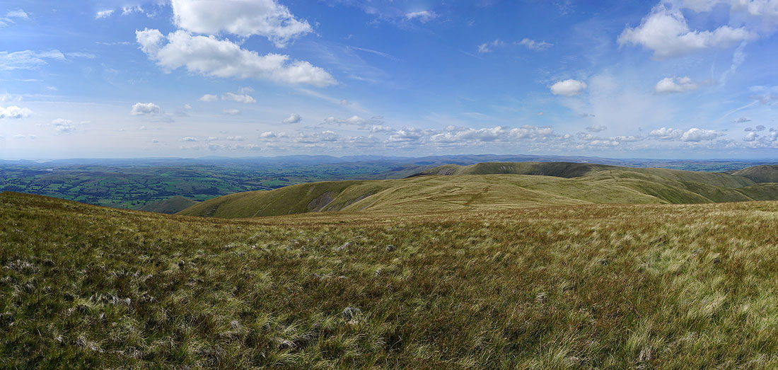
Two photos stitched together to make a panorama
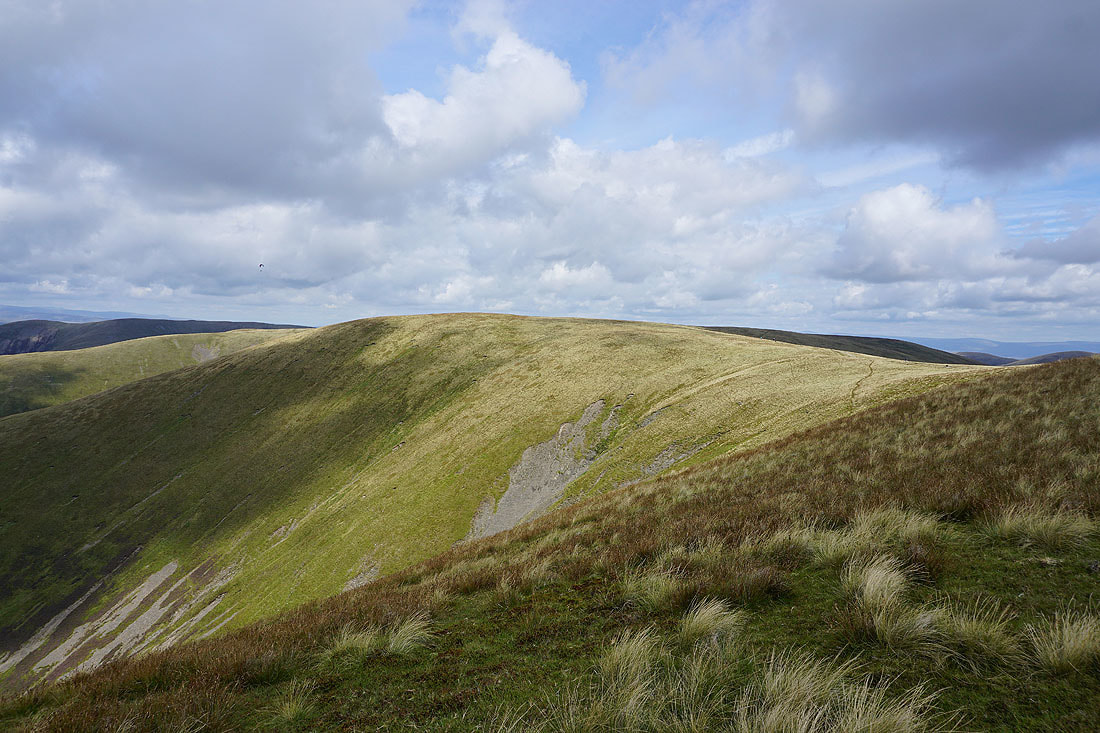
The Calf is left behind and I head for Bush Howe
Looking back to The Calf from Bush Howe
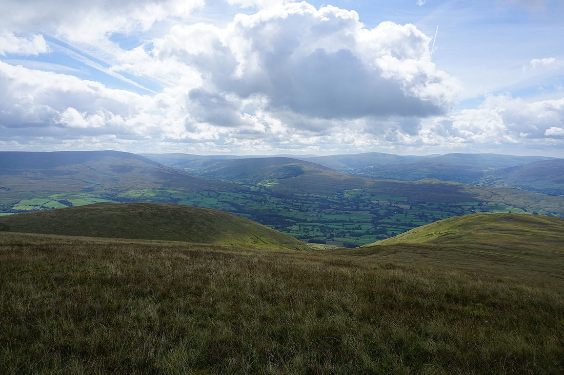
Simon's Seat and other northern Howgills from Breaks Head
The Calf, Calders and Arant Haw
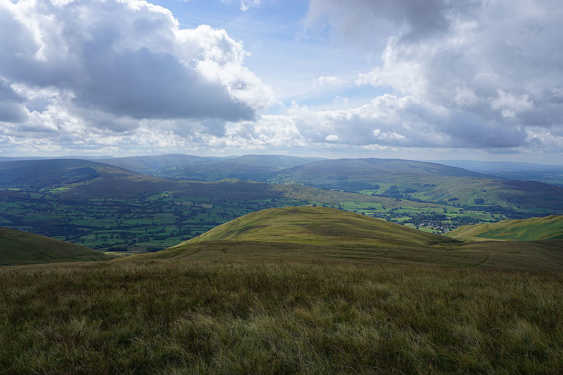
On the summit of Fell Head, the last top of the day. There's a glorious view across to the Lake District fells with just a little fair weather cloud to spoil the sunshine.
The Calf, Calders and Arant Haw from Fell Head
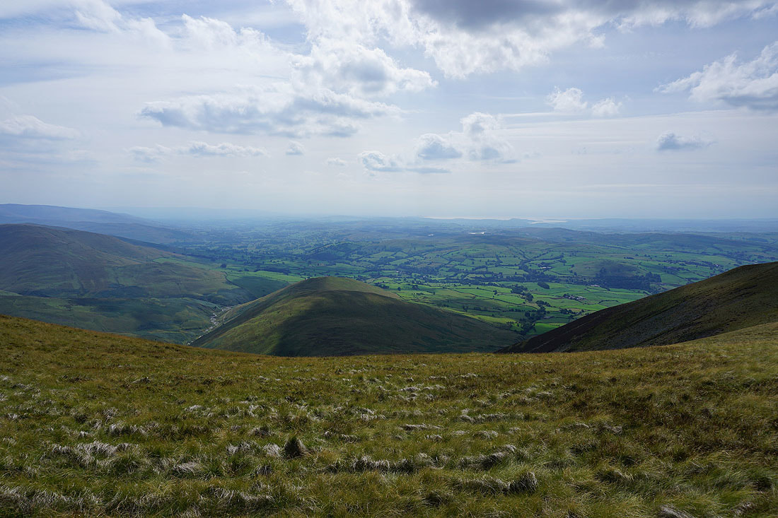
Looking down the Lune Valley and towards Morecambe Bay
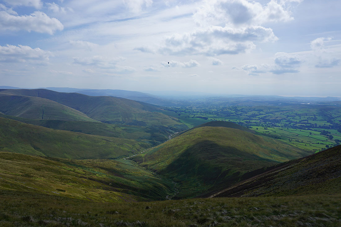
I couldn't help but take another photo when the paraglider drifted into shot a couple of minutes later
The North Pennines in the distance
Another shot across to the Lake District fells from the lower top of Fell Head
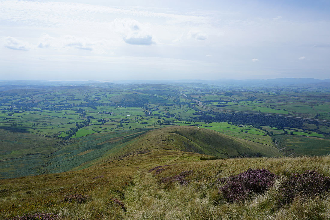
I now have a steep descent down Whin's End and into the Lune Valley
Looking back to Fell Head as I reach the sheepfold at Beck Houses Gate
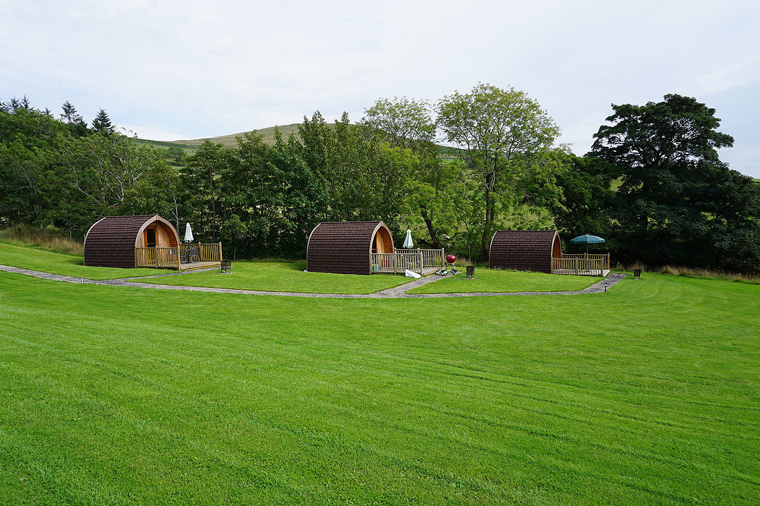
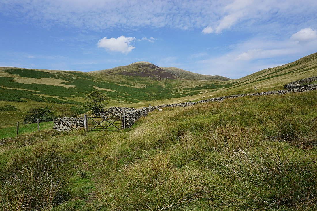
Glamping in the Howgills at Beck House
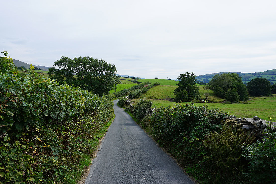
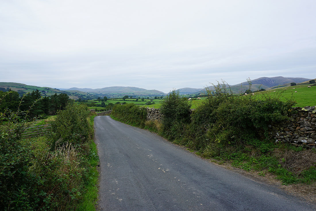
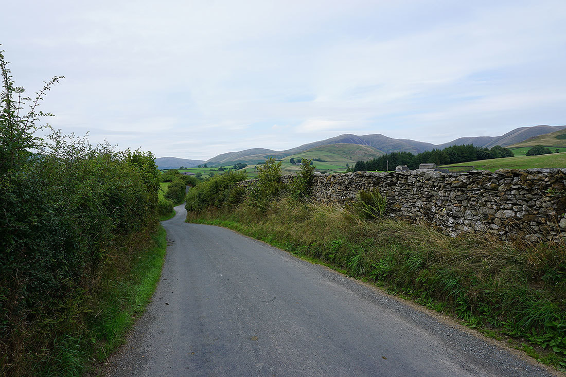
A long walk along Howgill Lane back to Sedbergh to finish with
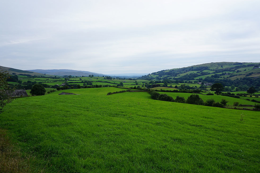
With the Lune Valley to my right..
..and if I turn around, the Howgills behind me