11th December 2022 - Ingleborough
Walk Details
Distance walked: 10.0 miles
Total ascent: 2216 ft
OS map used: OL2 - Yorkshire Dales, Southern & Western areas
Time taken: 6 hrs
Route description: Clapham-Clapdale Farm-Trow Gill-Gaping Gill-Little Ingleborough-Ingleborough-Dales High Way-Pennine Bridleway-Long Scar-Long Lane-Clapham
It's only been four weeks since I last had a walk up Ingleborough but I had no hesitation in deciding to head for Clapham again today. A cold winter's day with snow on the ground couldn't be much more different than the balmy autumn day with wall-to-wall blue skies and sunshine that I had last time. The forecast was mixed, certainly better than yesterday, a combination of cloud and sunshine and a cold wind high up, but with the cloud base predicted at around summit level I would need to keep my fingers crossed for views from it. It turned out that whenever I could see the top of Ingleborough it was covered in cloud more often than not, and that was the case when I arrived on the summit. Fortunately my lunch break was long enough so that I was still up there when the cloud cleared for a while to give some dramatic views. However, the highlight of the day for me was the sun setting when I was on Long Scar and the rosy pink glow that it cast across the surrounding snow covered moors.
From the NP car park in Clapham I walked through the village and onto the track to Clapdale Farm, signposted for Ingleborough. I followed this up to Clapdale Farm, then went through the farmyard and onto a path down to the track that leaves the Ingleborough Hall Estate. I turned left here and walked along the track to Ingleborough Cave, where I picked up the path up Trow Gill and onto the open moor. The path up Little Ingleborough was then taken, and then on up to the summit of Ingleborough, where I stopped for lunch. After this break I made my way to the eastern end of the summit plateau and took the path down Swine Tail, and then the Dales High Way trail down Simon Fell Breast and to Long Scar. From Long Scar I made my way back to Clapham down the track of Long Lane.
Route map
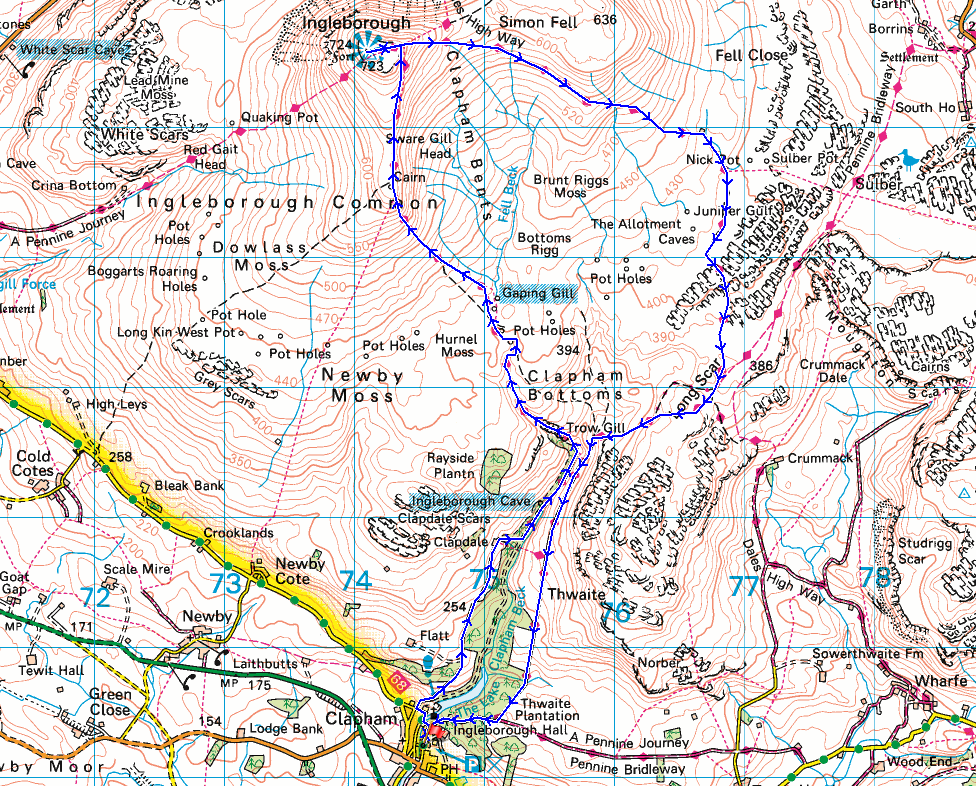
© Crown copyright. All rights reserved. License number PU 100034184.
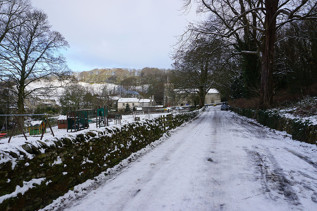
On an icy Church Lane in Clapham. I've already got my spikes on. The car park was like an ice-rink.
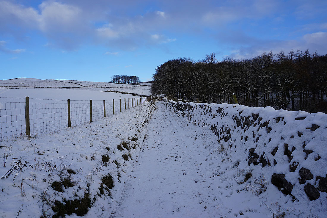
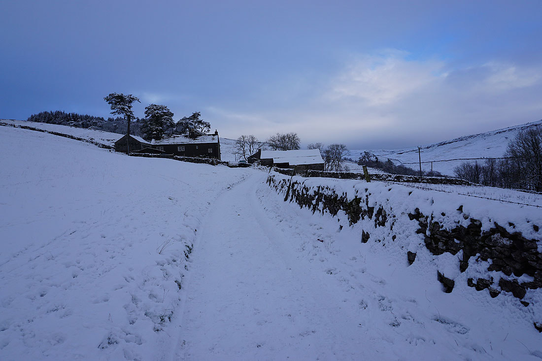
Following the track up Clapdale to Clapdale Farm...
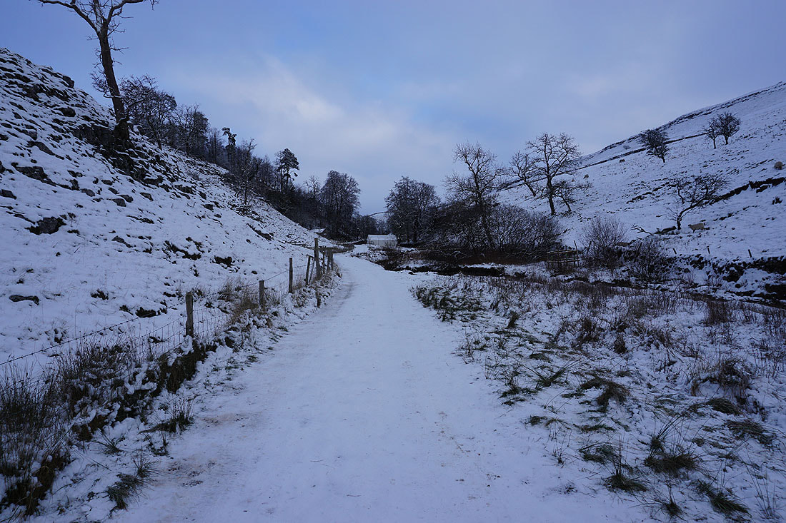
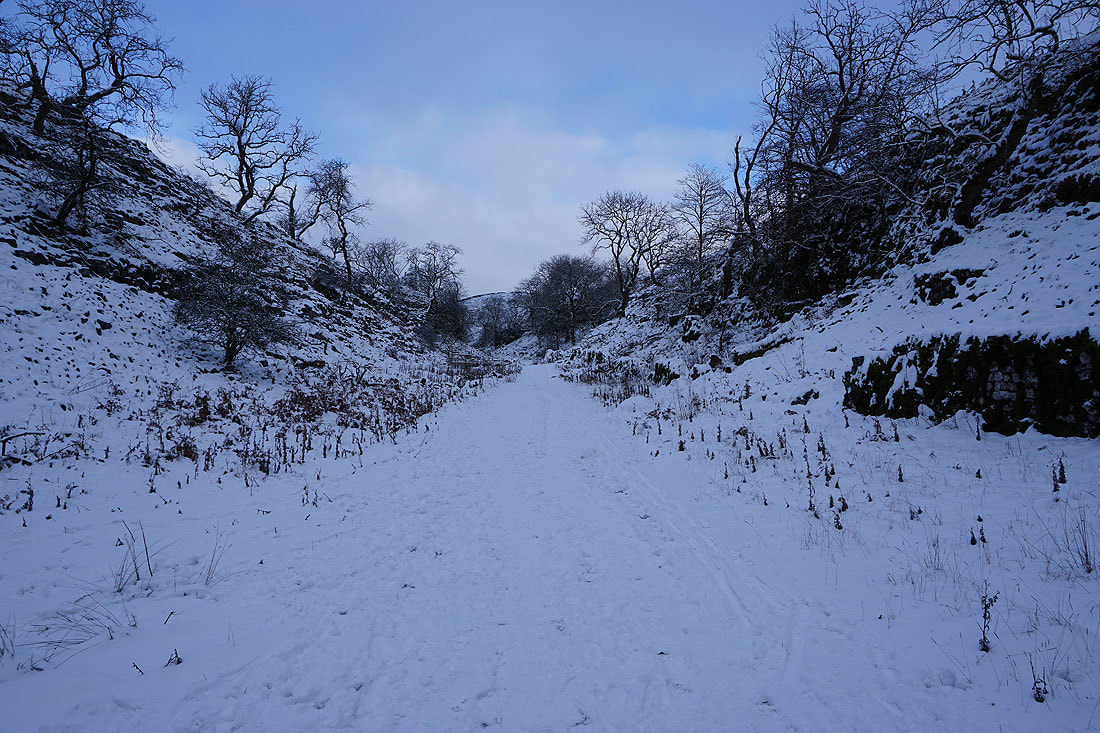
and then up Trow Gill...
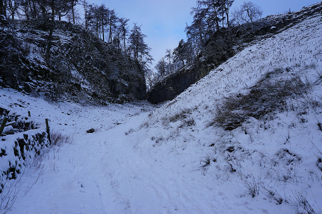
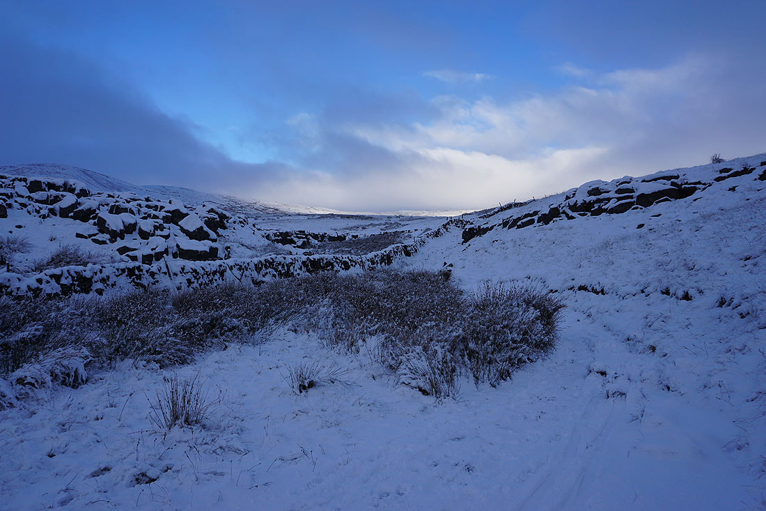
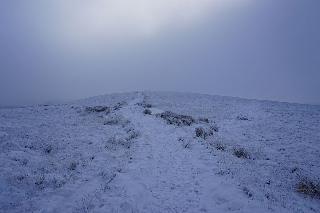
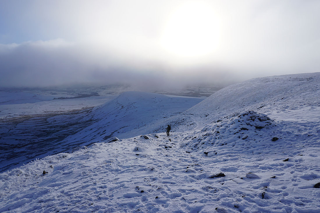
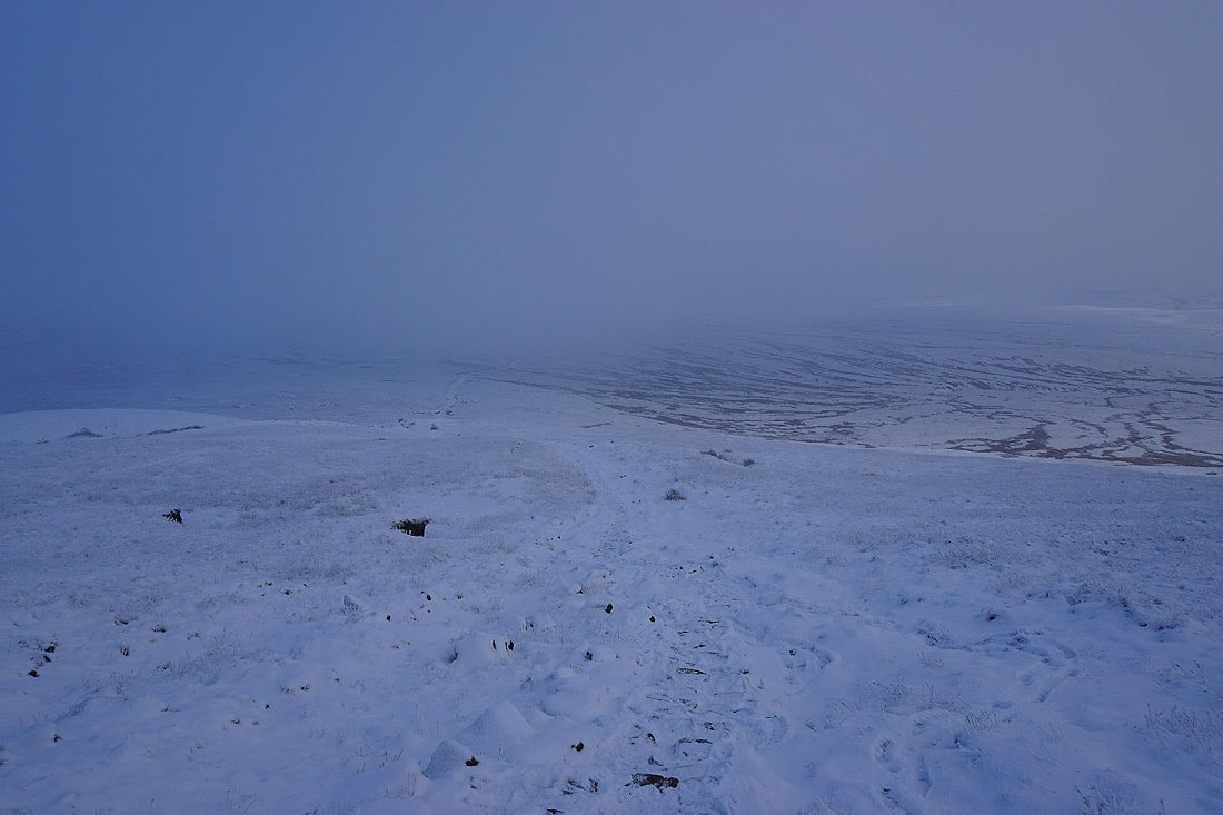
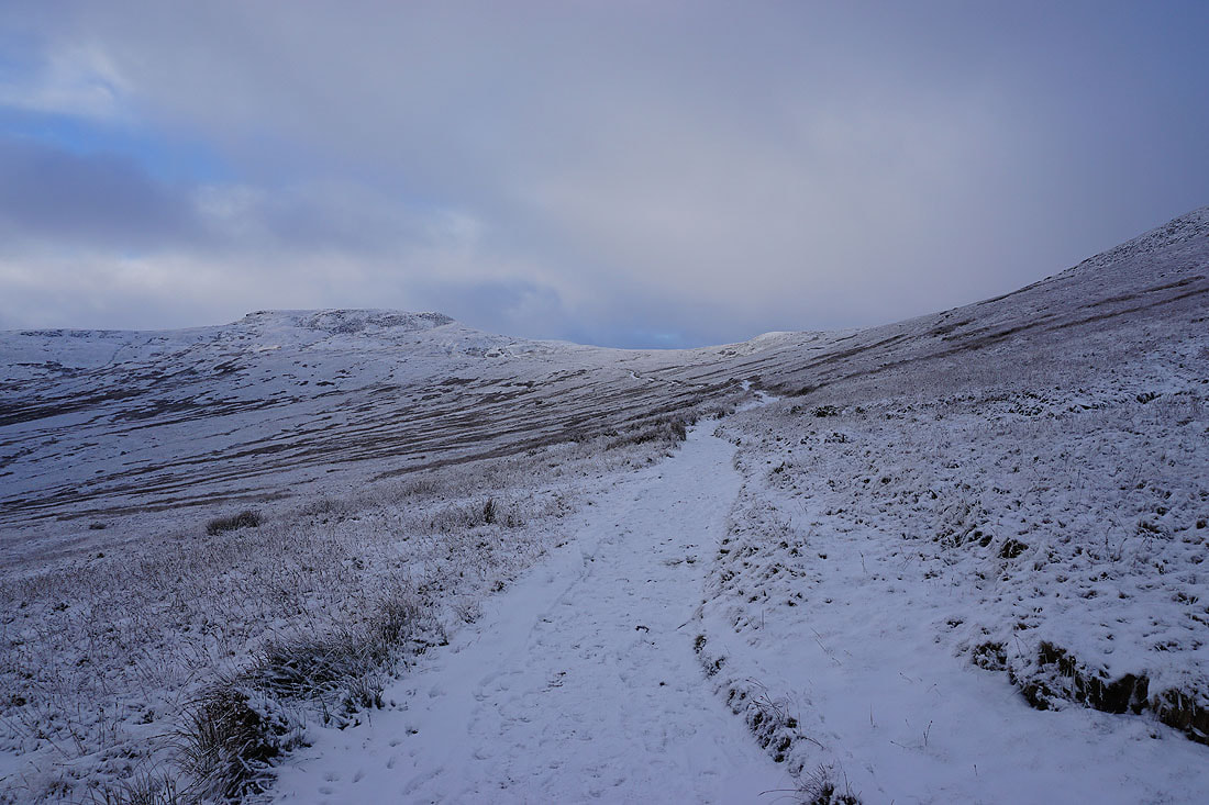
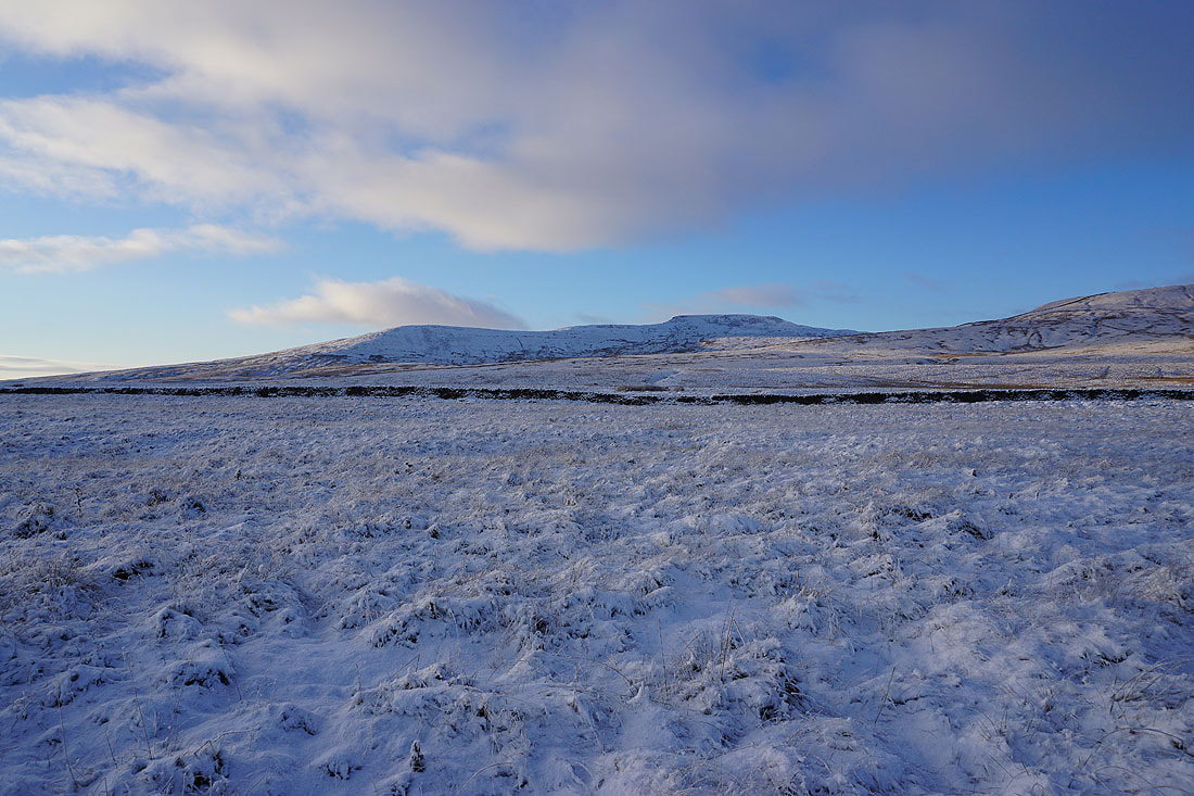
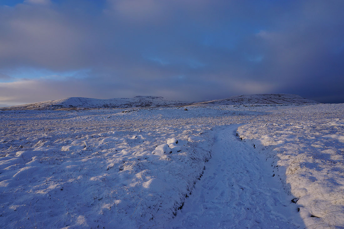
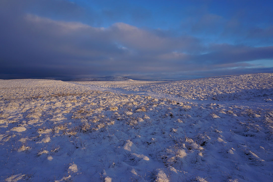
Out of Trow Gill and onto the open moorland, and Ingleborough comes into view..
The silhouette of Pendle Hill in the distance when I look back
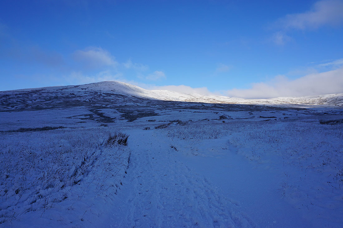
Starting the ascent of Little Ingleborough
The moorland below disappears as I reach the top of climb..
On Little Ingleborough
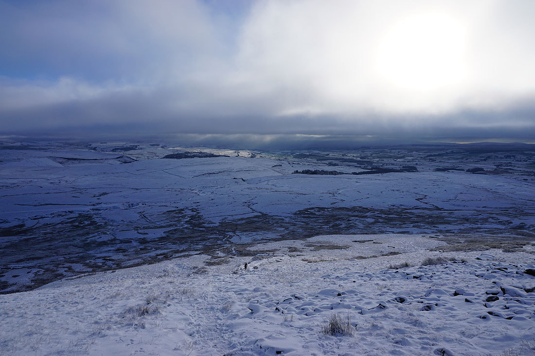
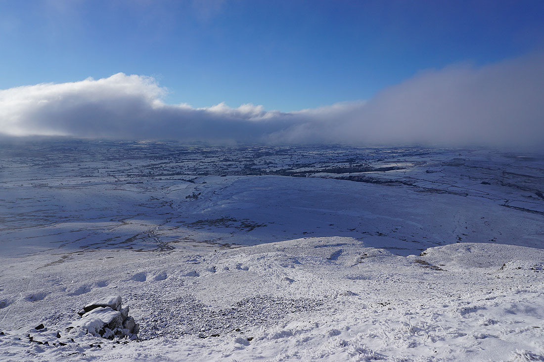
Heading for Ingleborough. I can see brightness on the moors either side of the summit plateau. Maybe conditions will improve.
Looking back to Little Ingleborough
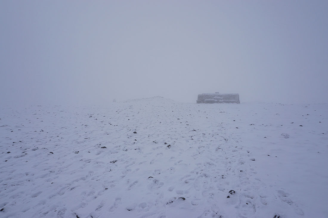
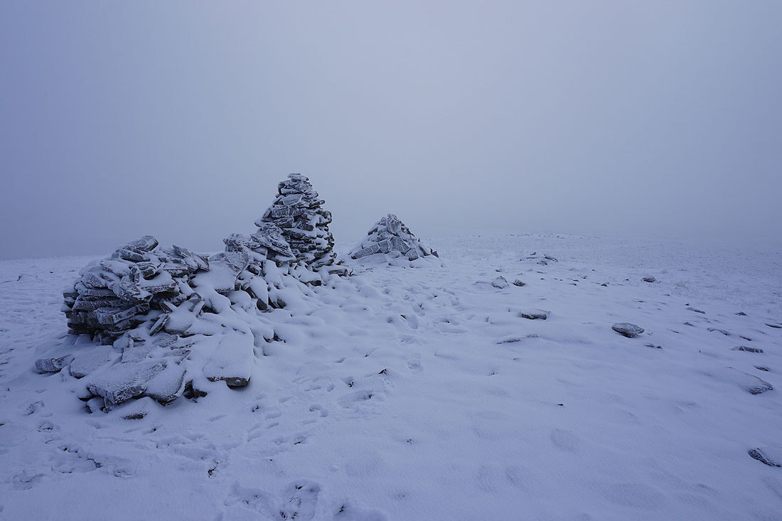
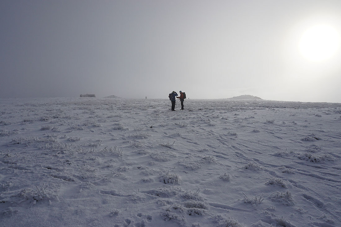
On the summit of Ingleborough. Time to have lunch, and the cross shelter is just the place for it.
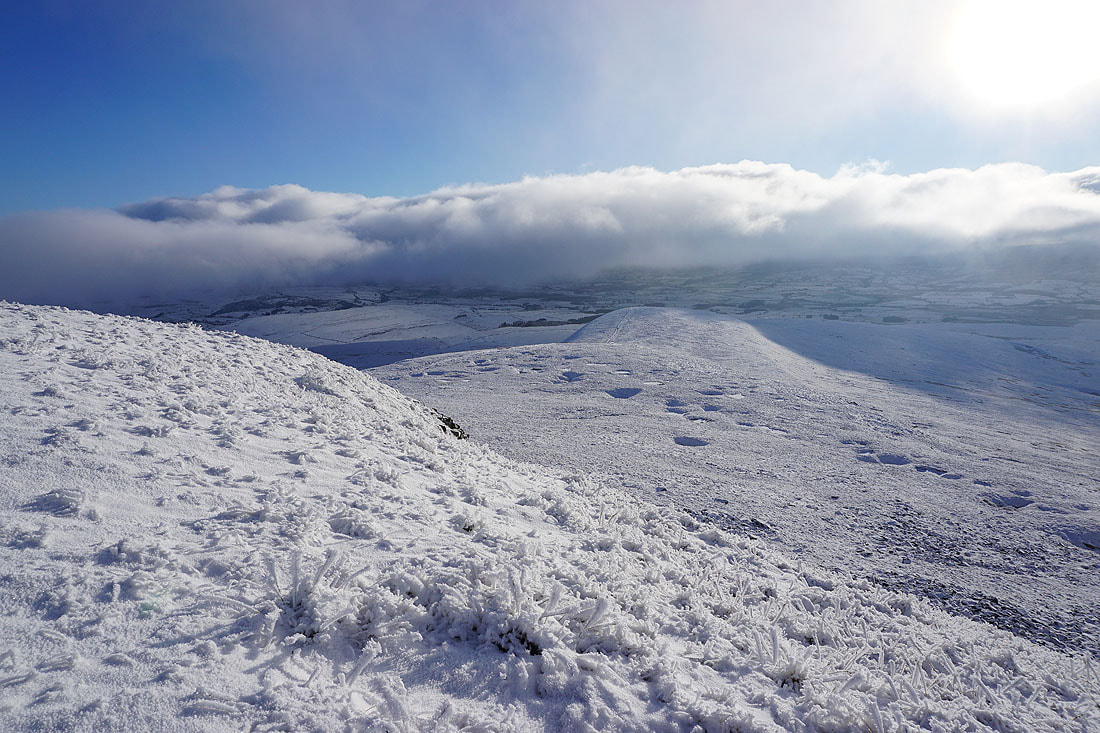
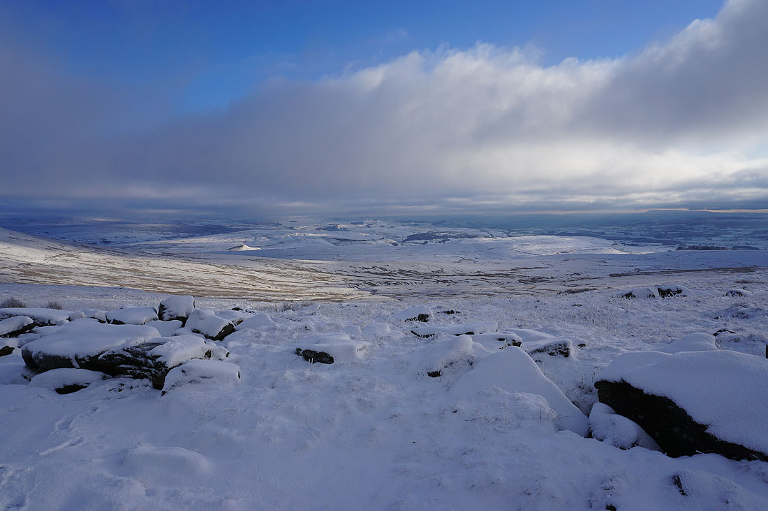
After quite a long lunch I accept that the visibility isn't going to improve, and that I need to get moving and make my way down. As I was making my way to the eastern end of the summit plateau the cloud thins and I can make out Park Fell and Simon Fell across Humphrey Bottom..
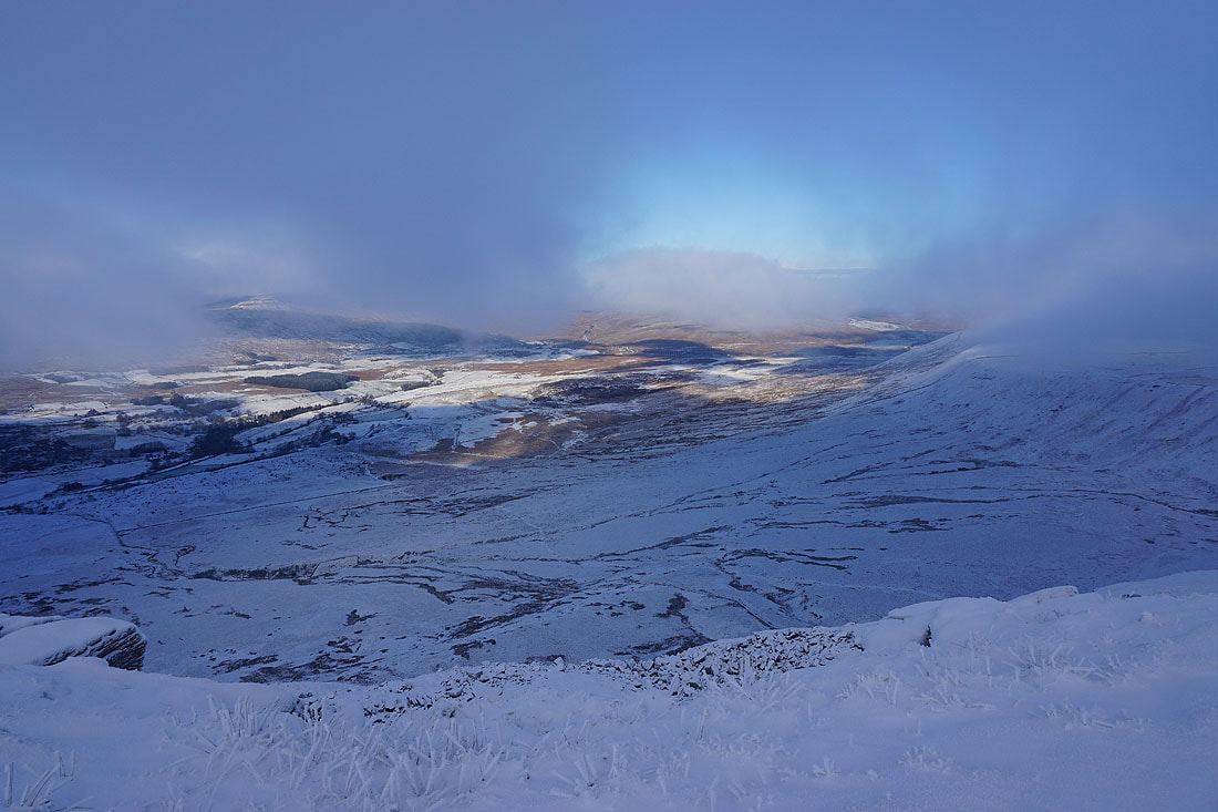
..as well as Twisleton Scars on the other side of Chapel-le-Dale. I think I'll walk round the summit plateau and see if I get any more views.
I do. Looking across the northern edge of the plateau to Simon Fell.
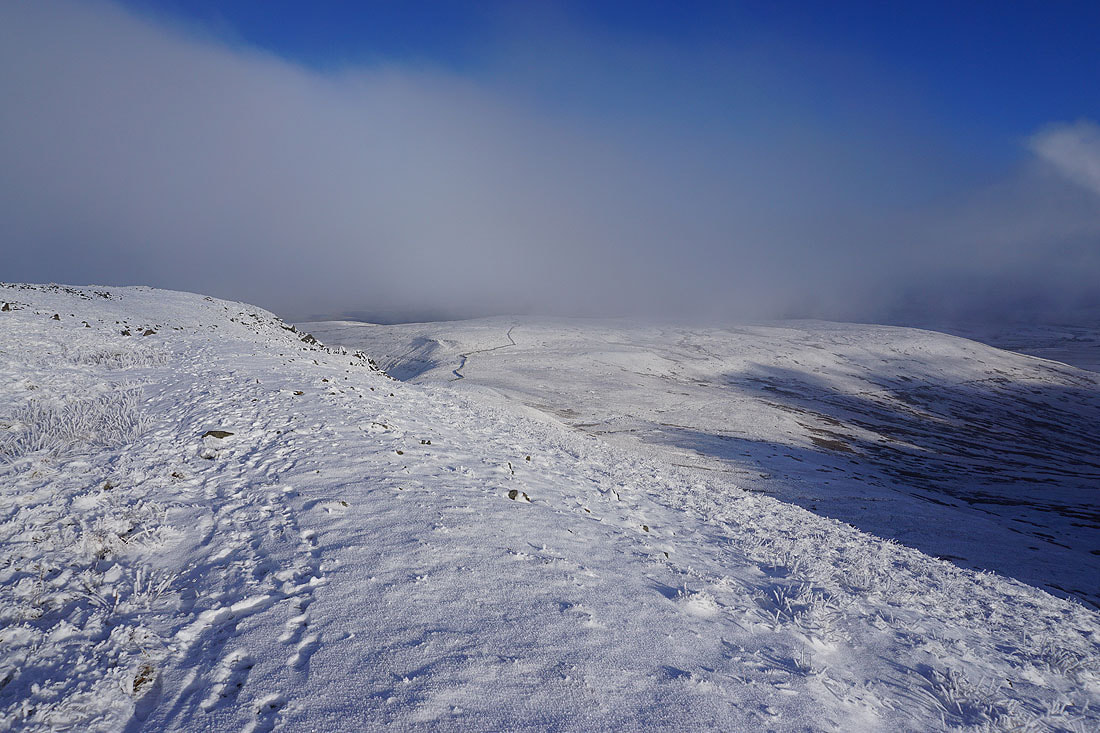
The sun shines through the fog on the summit plateau..
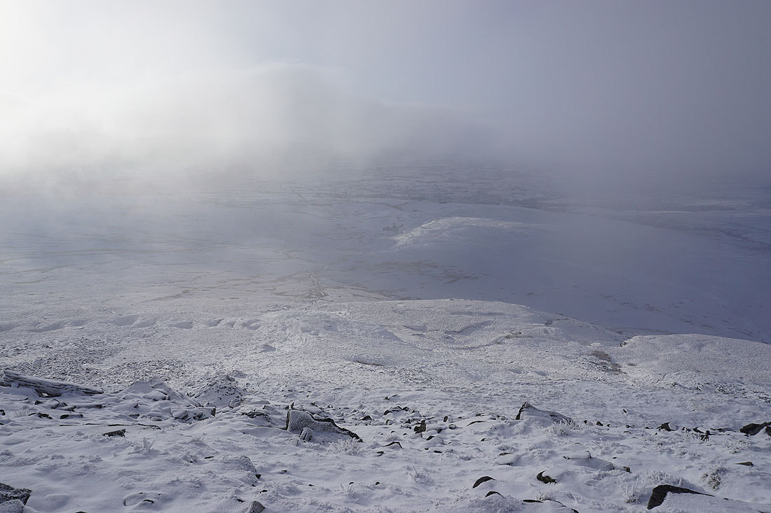
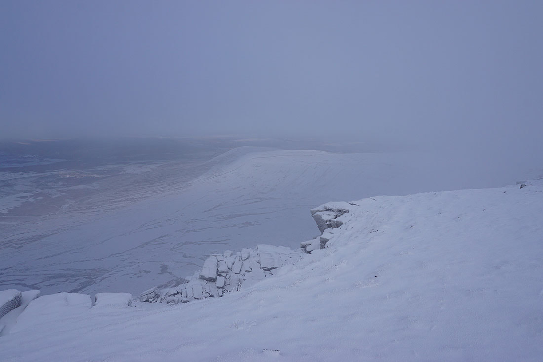
The fog clears at the western end of the plateau for a view down across White Scars to Ingleton..
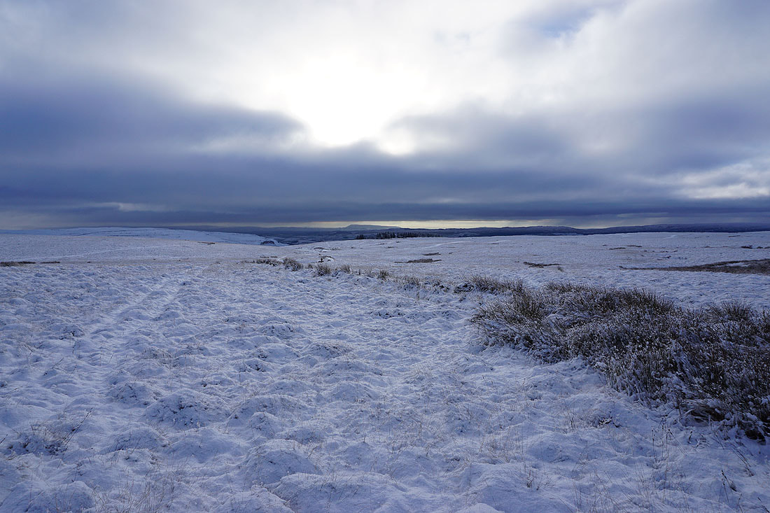
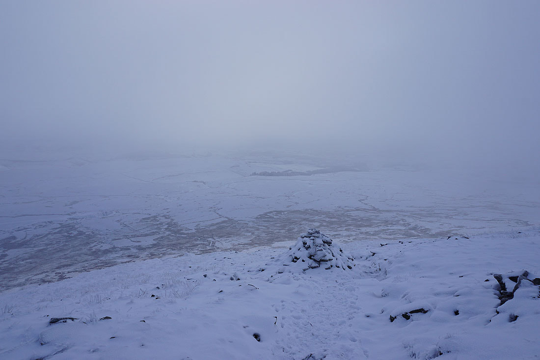
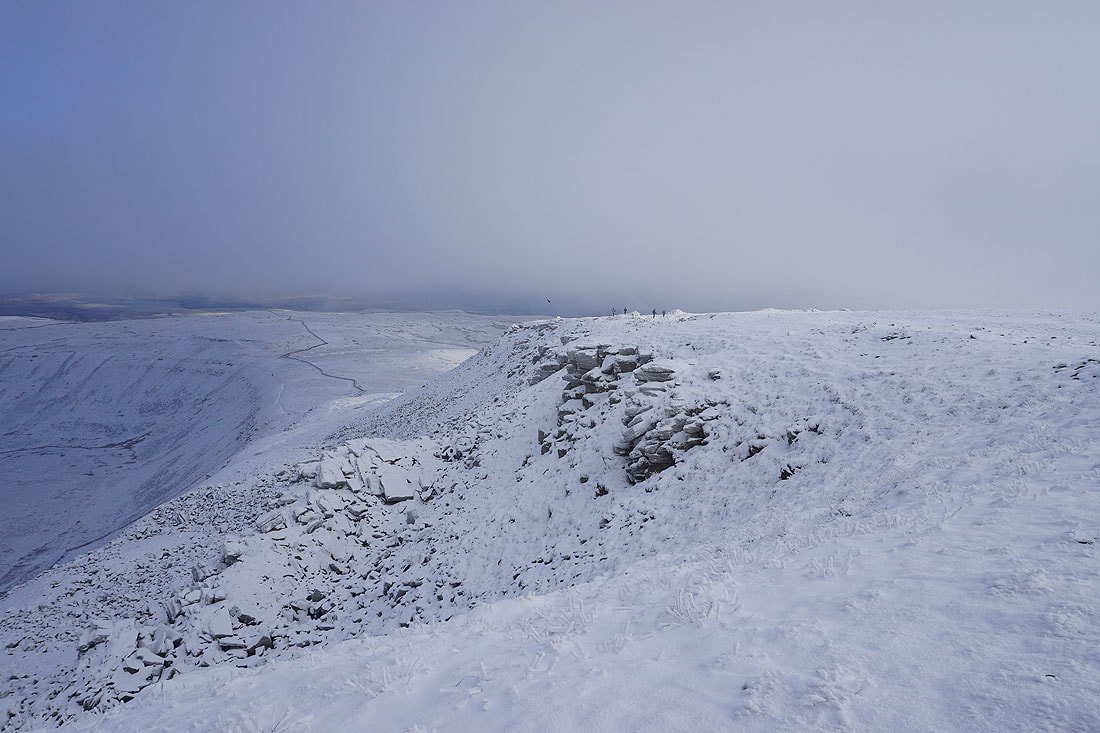
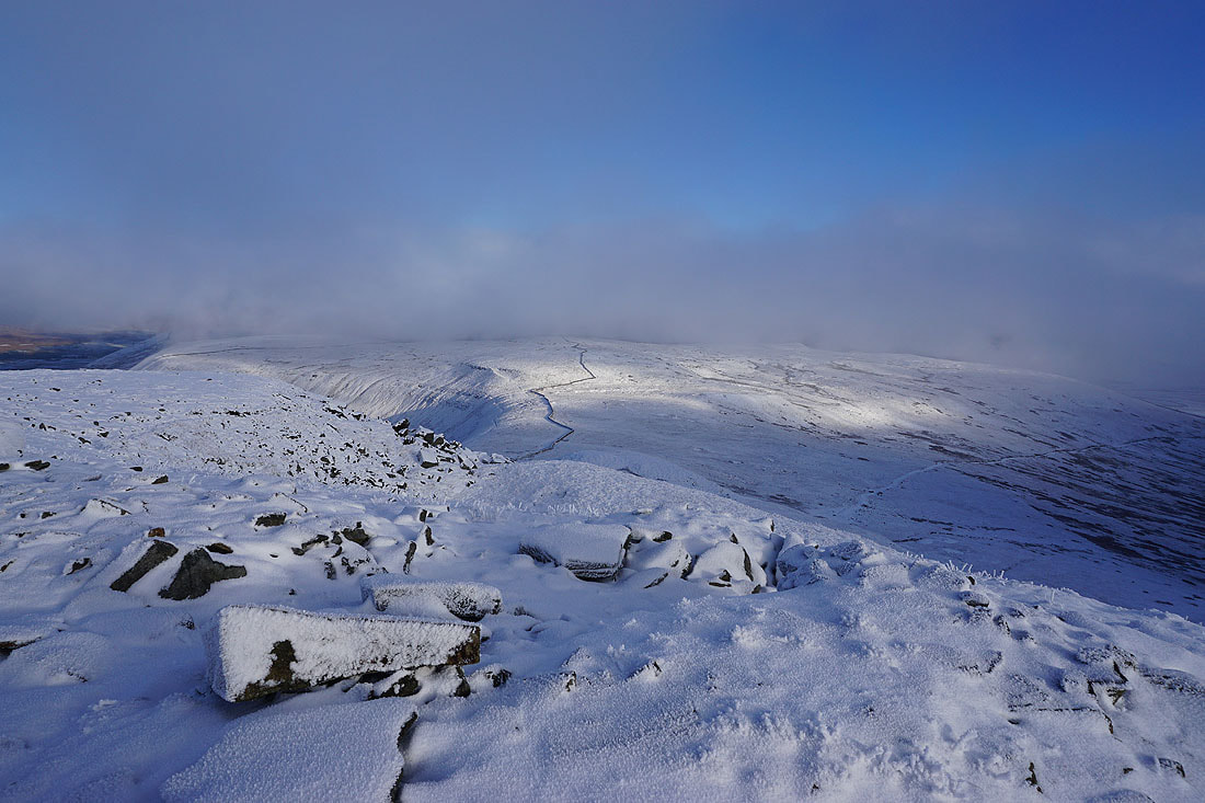
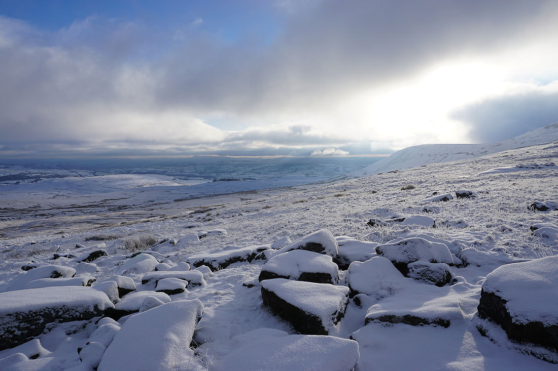
Little Ingleborough below from the southern edge of the plateau. Ingleborough seems to be in a hole in the clouds at the moment and I can't see beyond the surrounding countryside..
Simon Fell to the east
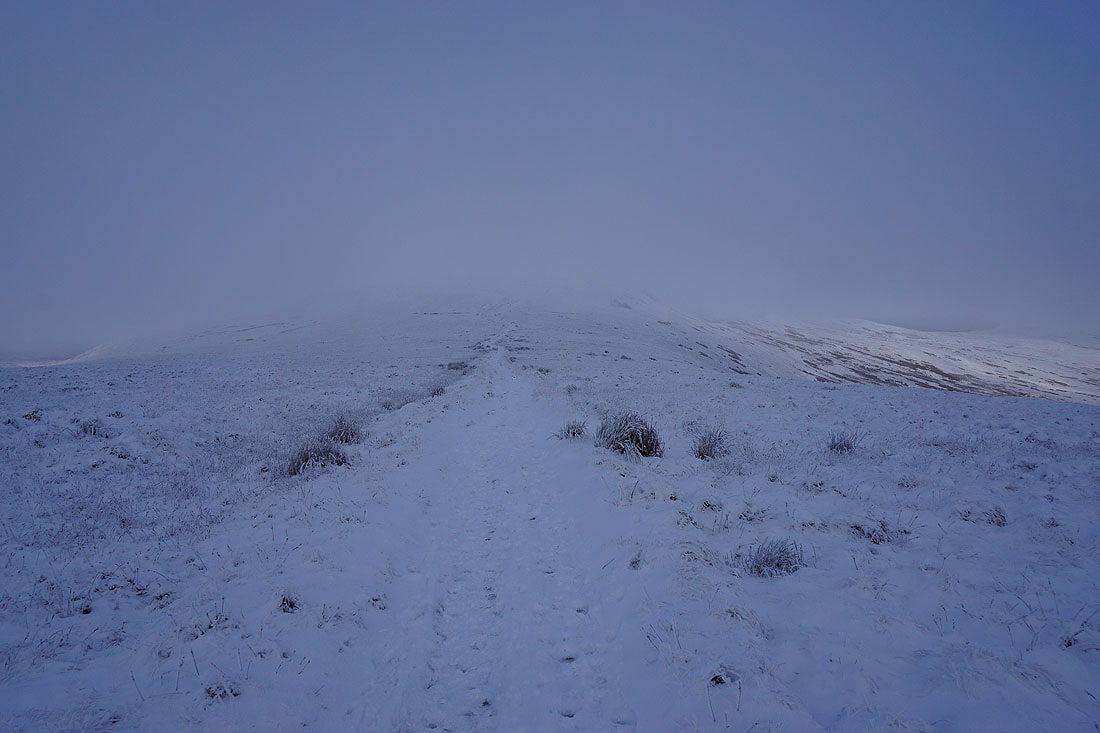
At the top of the path from Little Ingleborough
Simon Fell from the eastern end of the plateau
Breaks in the cloud allow a view towards Whernside, Ribblehead, and Blea Moor
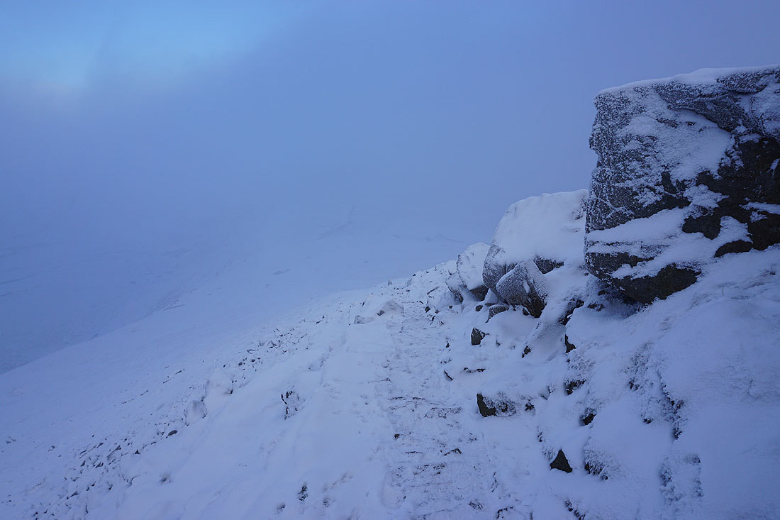
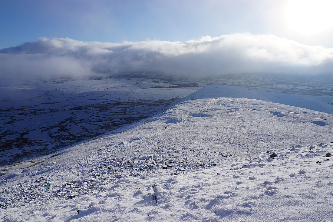
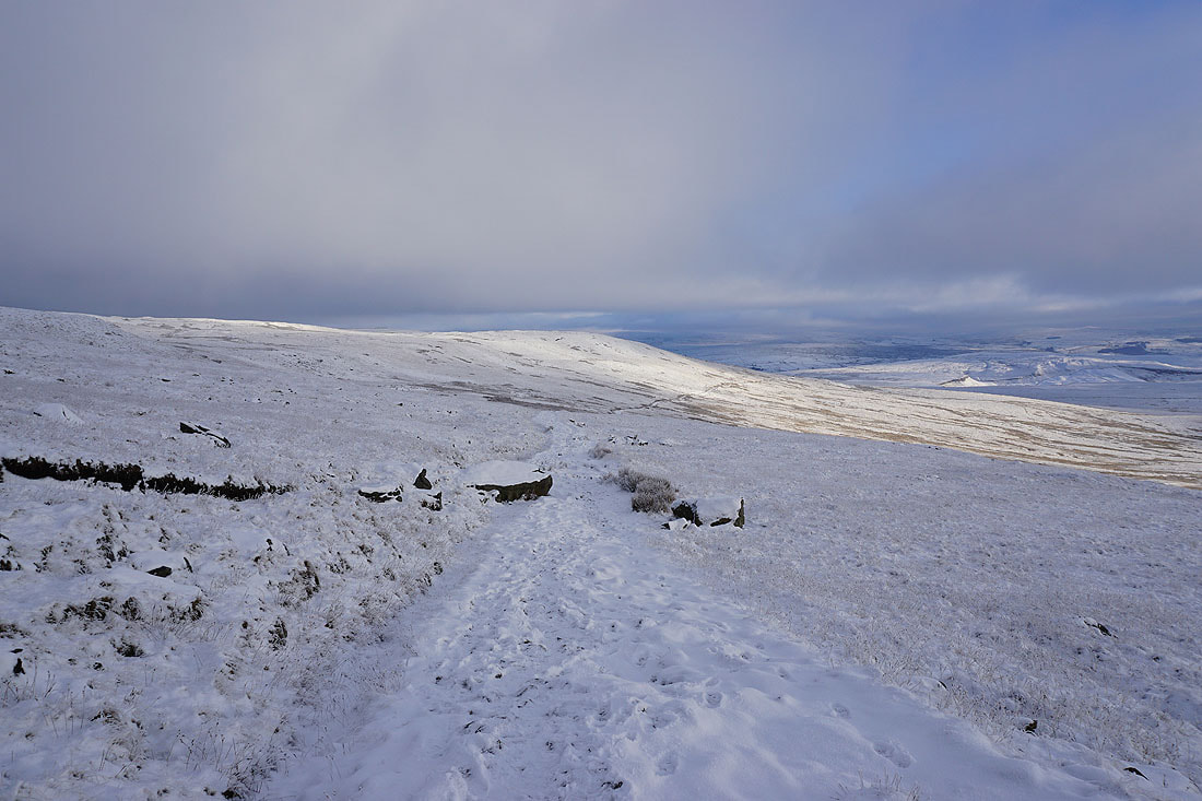
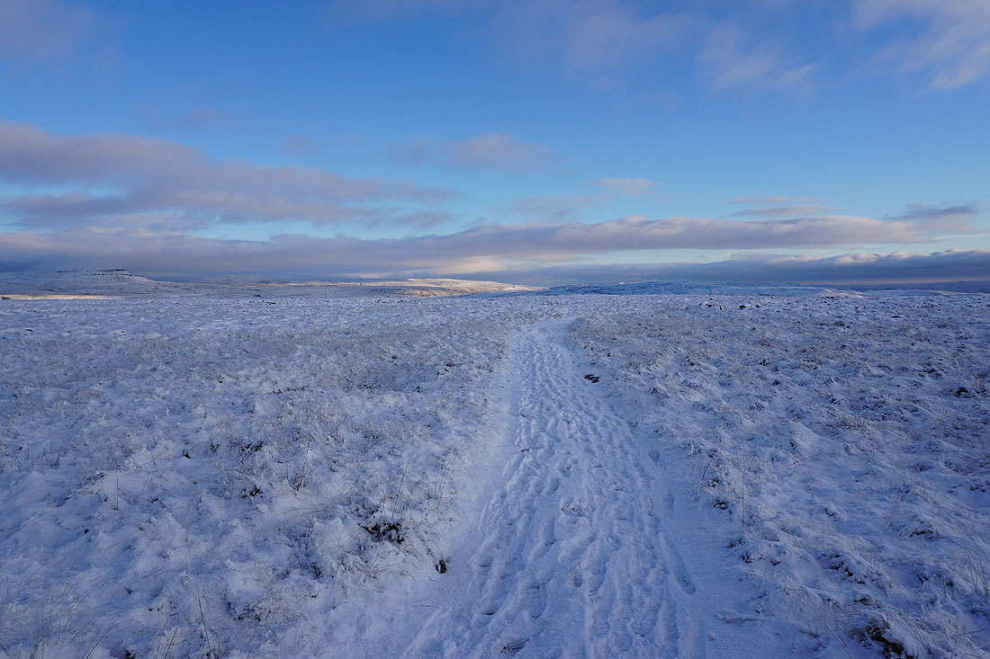
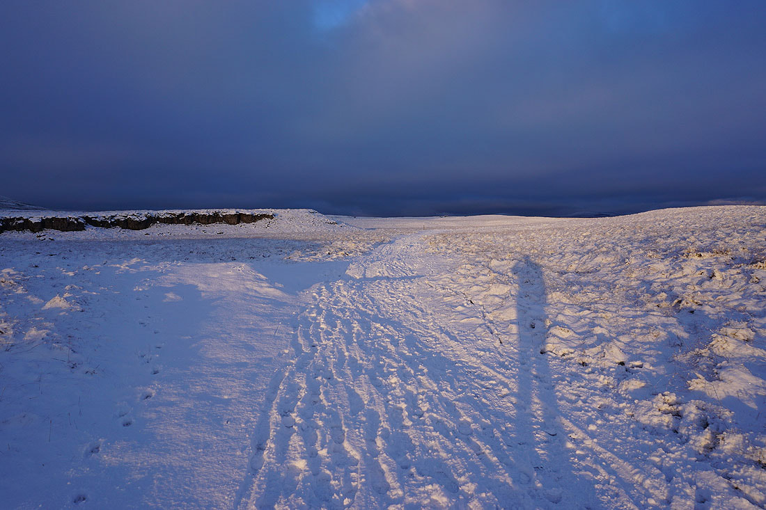
Leaving Ingleborough I take the path down from the eastern end of the summit plateau. I'm glad I had my spikes on for this bit.
Heading down the path across Simon Fell Breast
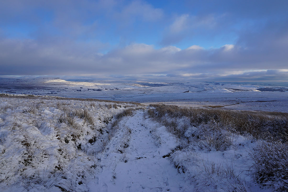
Moughton and Thwaite beyond the snow covered moor to my right..
..and in the distance, Pendle Hill
Crossing Simon Fell Breast
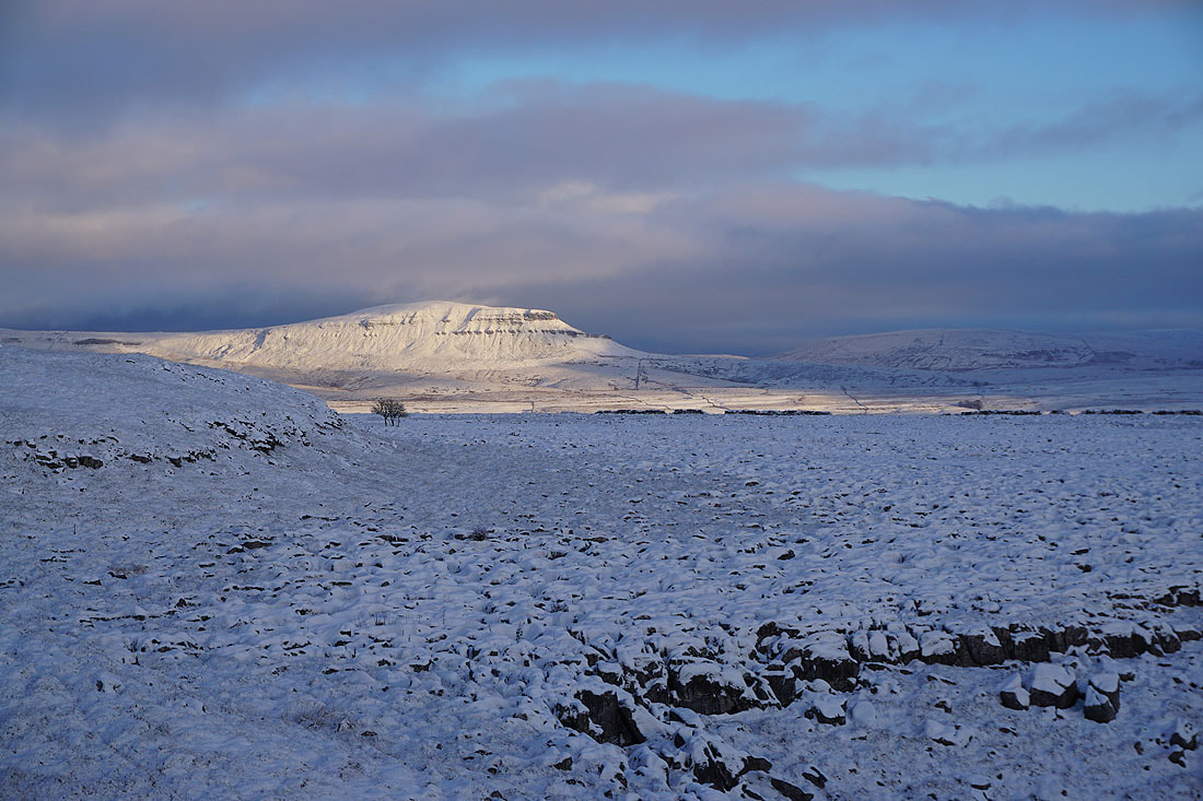
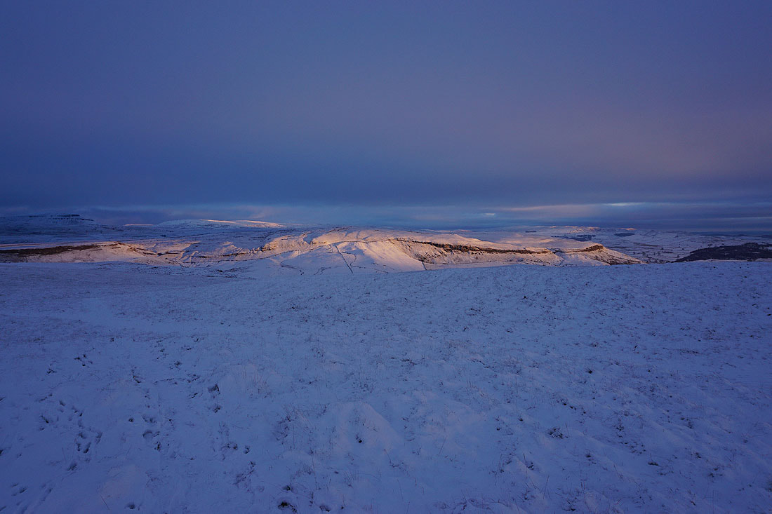
and when I look back, Ingleborough is now clear of cloud
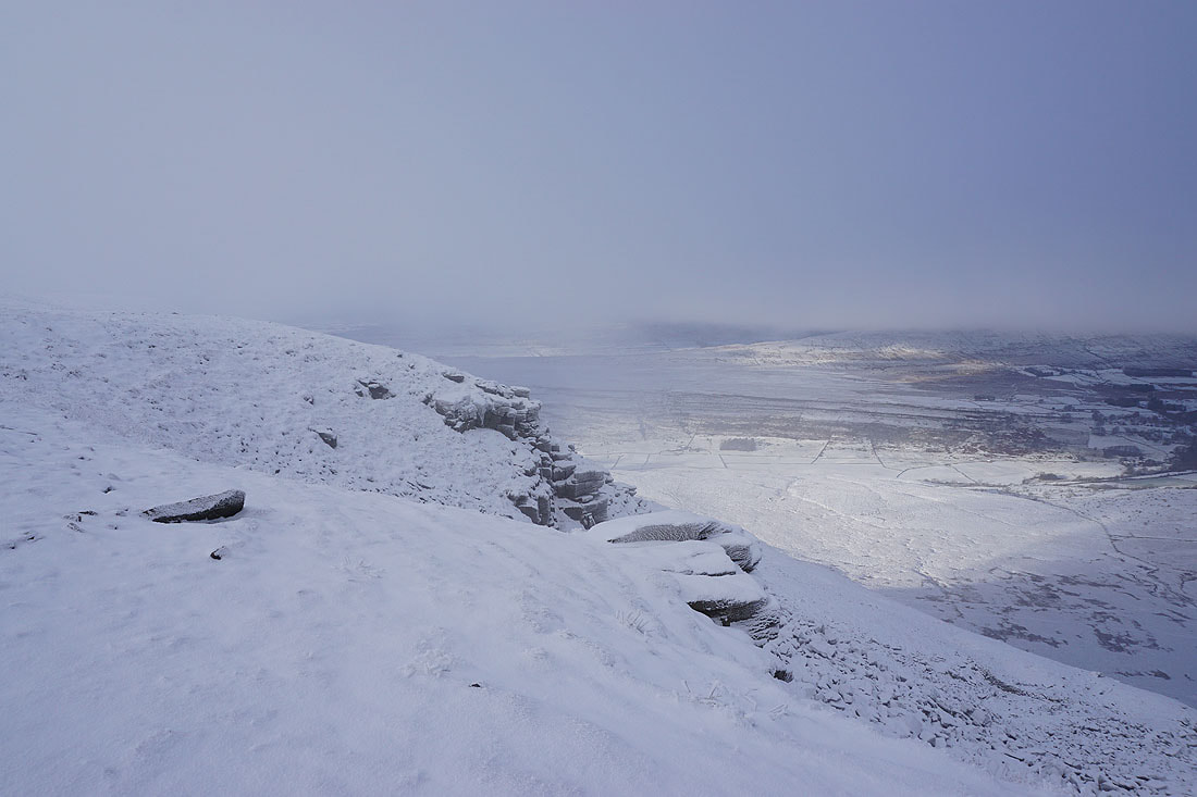
Looking across Ribblesdale to Penyghent, Fountains Fell, and the moors above Settle
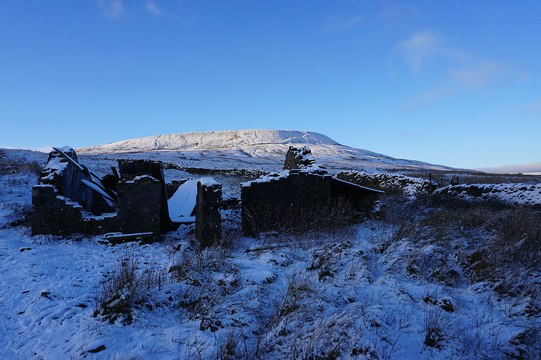
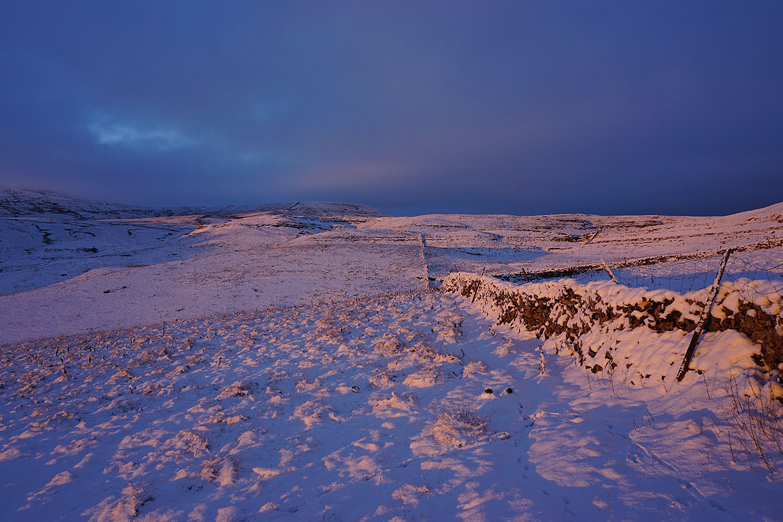
Simon Fell above the ruins of the shooting hut
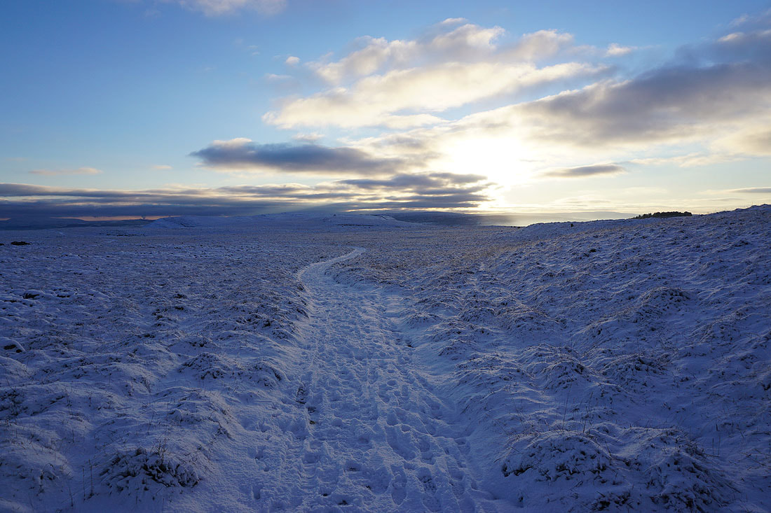
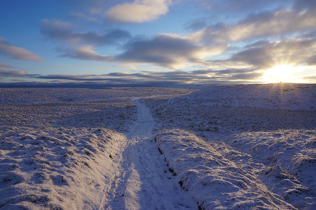
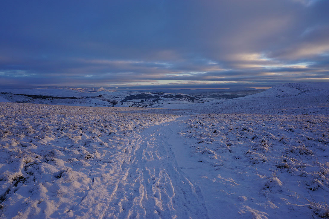
I've left the path to Horton for the one to Long Scar, and fortunately there's a path to follow through the limestone pavement. The low sun, snow and clouds are giving a great light.
Little Ingleborough and Ingleborough to my right
Sunshine on Knowe Fell on the other side of Ribblesdale
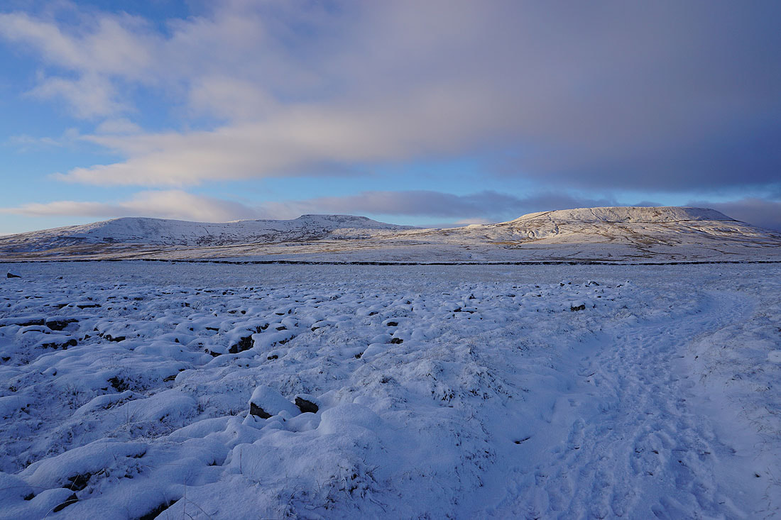
Little Ingleborough, Ingleborough, and Simon Fell
Zooming in on Penyghent..
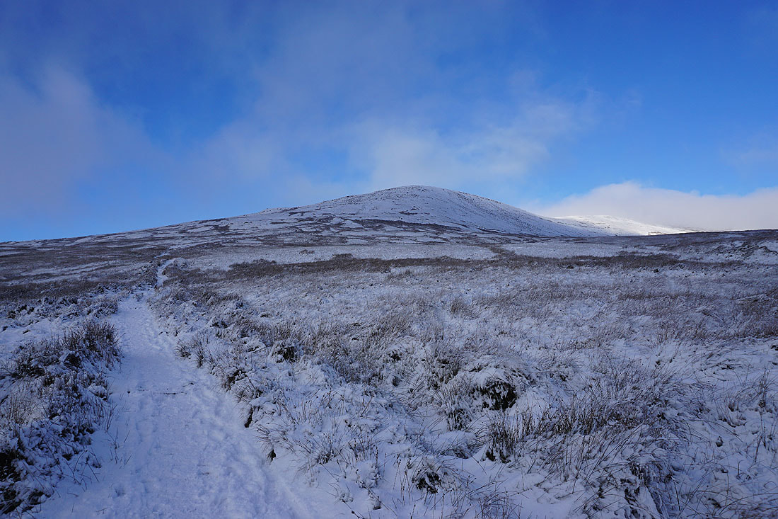
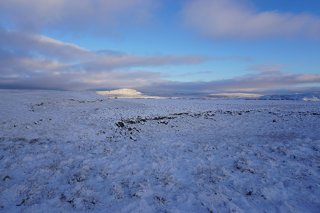
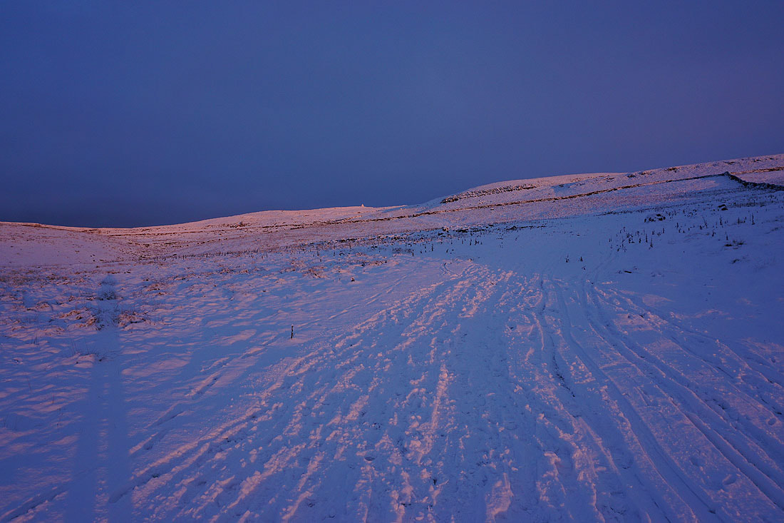
The hill of Thwaite ahead as I approach Long Scar
Looking back to Ingleborough
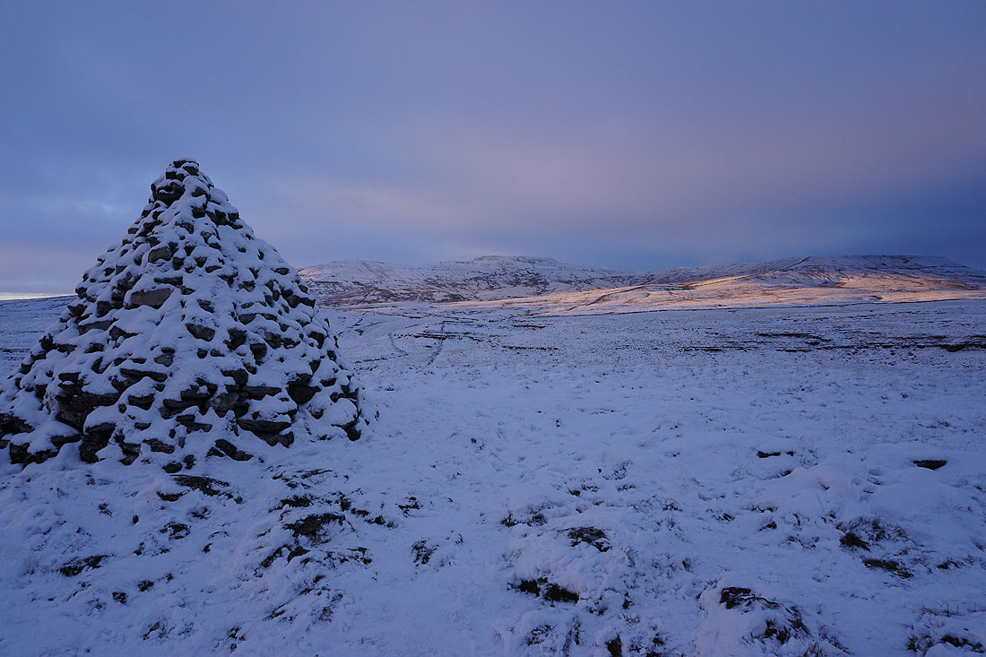
The sun bursts through the cloud as I reach Long Scar, and the giant cairn on it is backlit
What a contrast between the surrounding sunlit moor and the darkness of the clouds..
A glimpse of the neighbouring valley of Crummack Dale
Ingleborough from Long Scar
Sunshine on Moughton on the other side of Crummack Dale
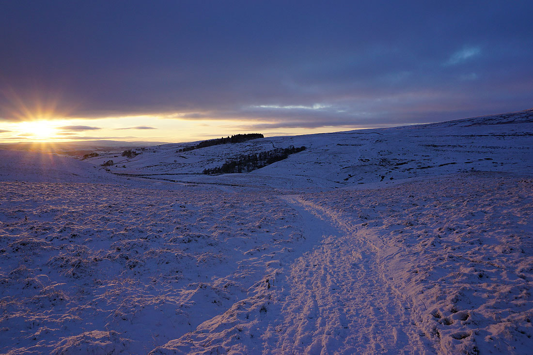
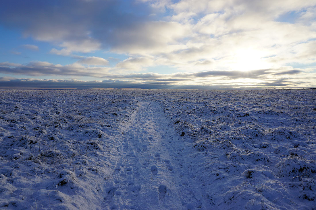
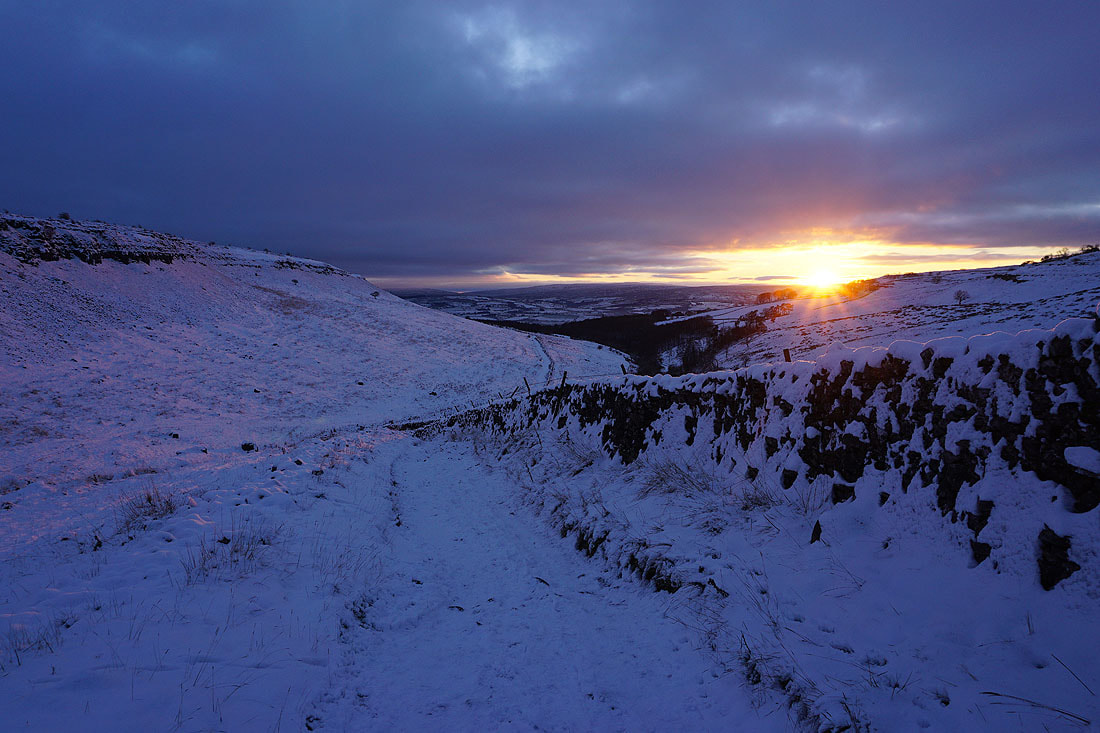
Leaving Long Scar and the setting sun casts a rosy pink glow on the surrounding moor...
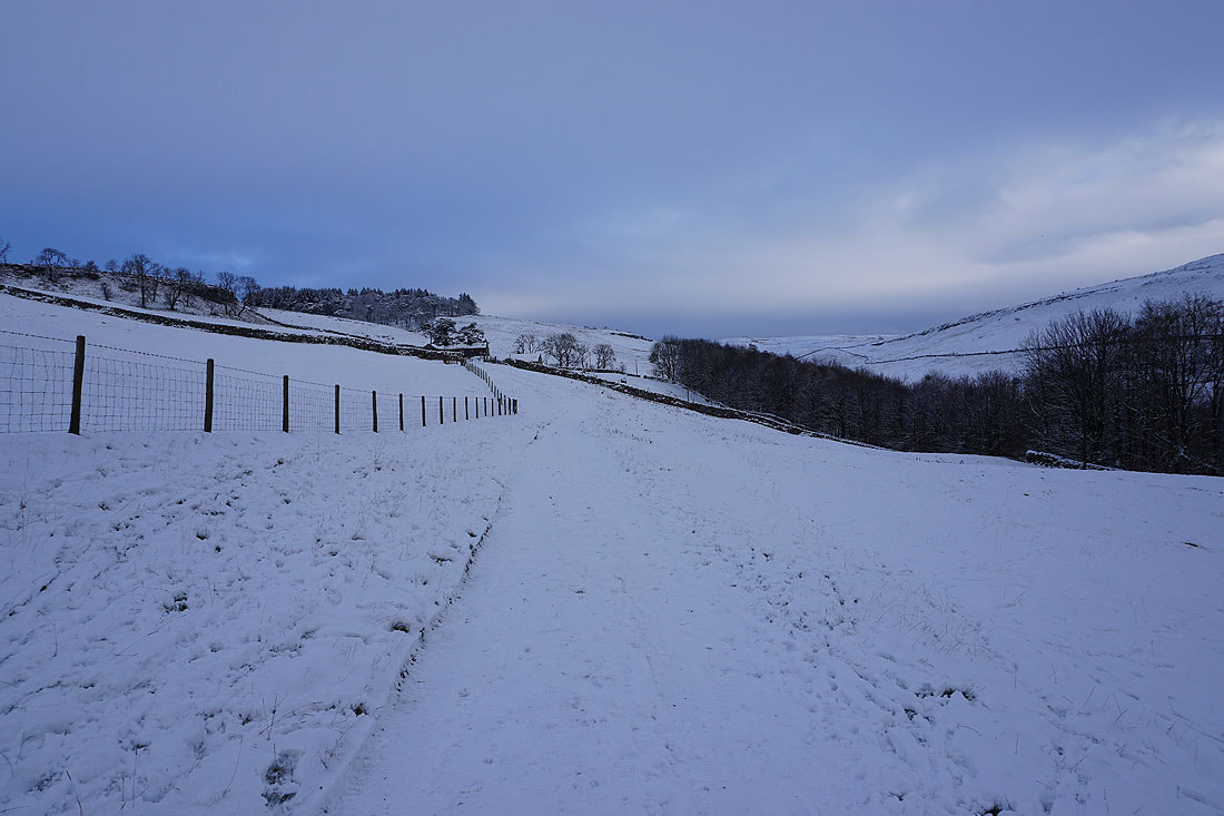
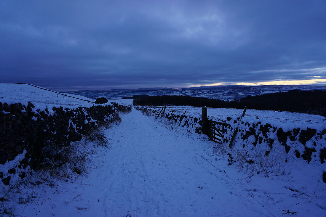
On the track of Long Lane back to Clapham..
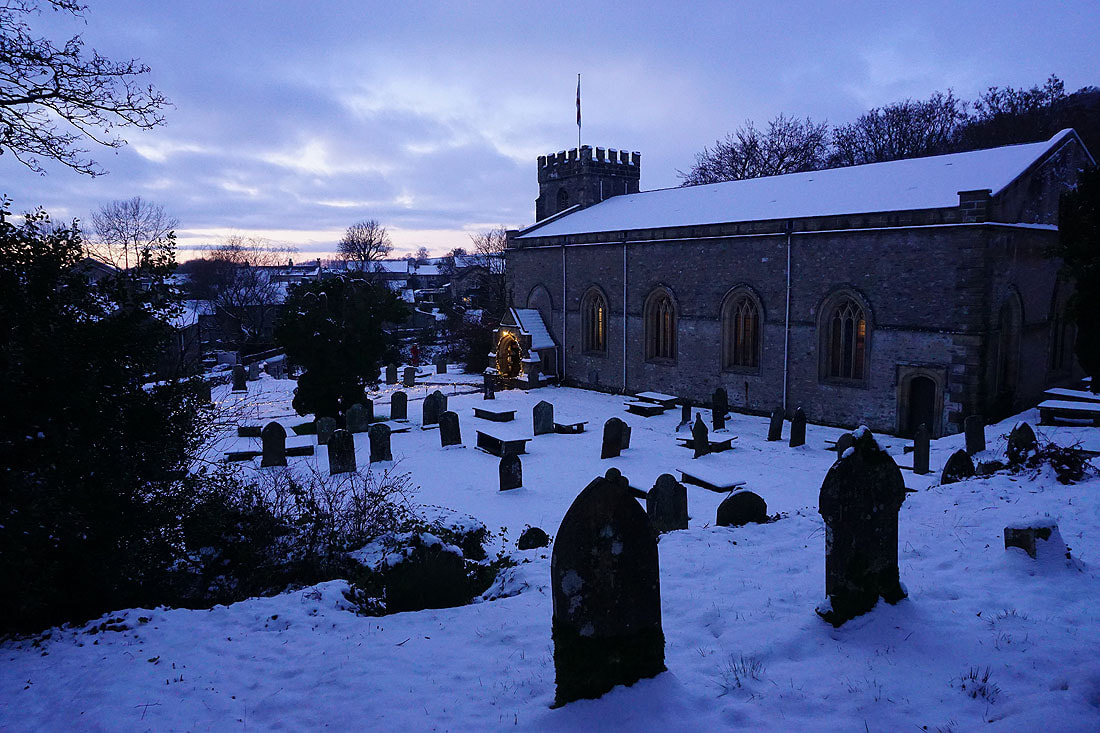
The church of St. James in Clapham