11th July 2020 - Around Barden Moor
Walk Details
Distance walked: 13.6 miles
Total ascent: 2002 ft
OS map used: OL2 - Yorkshire Dales, Southern & Western areas
Time taken: 7.5 hrs
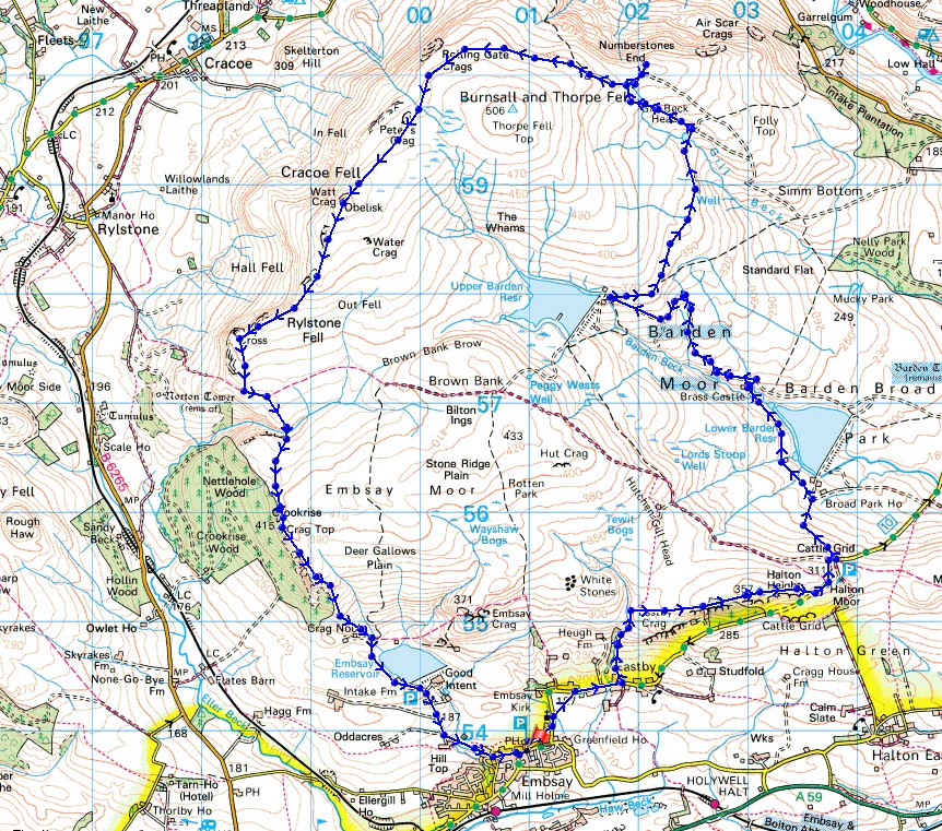
Route description: Embsay-Eastby-Eastby Gate-Halton Height-Lower Barden Reservoir-Upper Barden Reservoir-Numberstones End-Watt Crag-Rylstone Cross-High Bark-Waterfall Gill-Crookrise Crag Top-Embsay Reservoir-Embsay
There's some fine weather forecast for this weekend and I've got a walk planned for each day, both of them in the Yorkshire Dales. Today's keeps me close to home as I head to Embsay, for a route that takes me round the edges of Barden Moor. When I last did this full circuit of the moor a few years ago I didn't know about the path from the bridleway across Rylstone Fell to Waterfall Gill and then to Crookrise Crag Top. Now that I do, it certainly makes life easier when it comes it completing that part of the circuit, instead of having to make my way through pathless heather. There was a mixture of cloudy spells and sunny spells as I made my way around the moor, mostly on the cloudy side though, and quite cool for the time of year with brisk breeze.
After parking in the car park on Main Street in Embsay I left it by the public footpath from its back across to Kirk Lane. I briefly walked north up the lane past St. Mary's church before turning right and taking a footpath across fields to Eastby, and after a walk east along the lane through Eastby I turned left onto the footpath that heads uphill by Heugh Gill to Eastby Gate. Access land is reached here and I followed a boggy path across the moor to the trig point on Halton Height. Once I'd made it down to Barden Road below I had easy walking for the next few hours. I walked east along the road until I reached a cattle grid and then estate tracks took me down to Lower Barden Reservoir, up to Upper Barden Reservoir and across and up Burnsall Fell to Numberstones End. After having lunch next to the nearby shooting hut, another track was followed around the northern side of Burnsall Fell and for most of the way to the war memorial on Watt Crag. I then took the path southwest on the northern side of the wall to Rylstone Cross, and then south after crossing the stile over the wall, to reach the bridleway from Rylstone across the moor. I crossed this, took the path opposite and followed it down to Waterfall Gill, across Waterfall Gill Beck and then up to Crookrise Crag Top, with a ladder stile crossed to reach the trig point. Once I'd taken in the view I followed the wall south above Crookrise Crag, then crossed back over the last ladder stile to the east side of the wall to take the path south down to Embsay Reservoir, and a walk down Pasture Road took me back to Embsay.
Route map
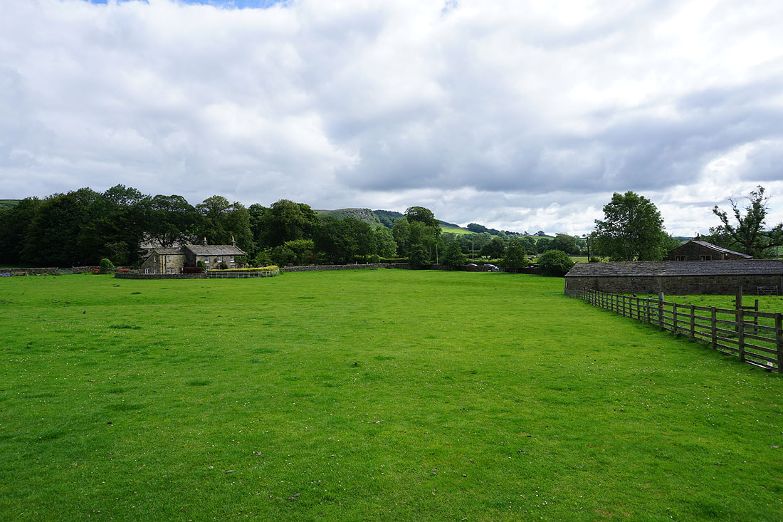
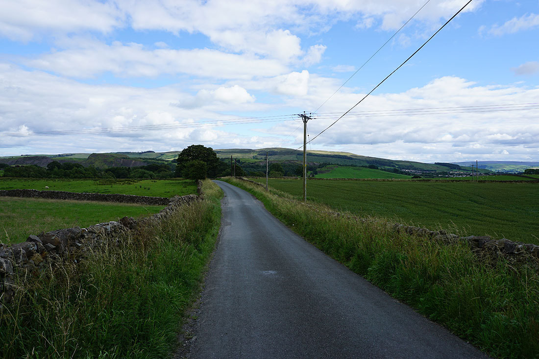
Eastby Crag in the distance as I leave Embsay
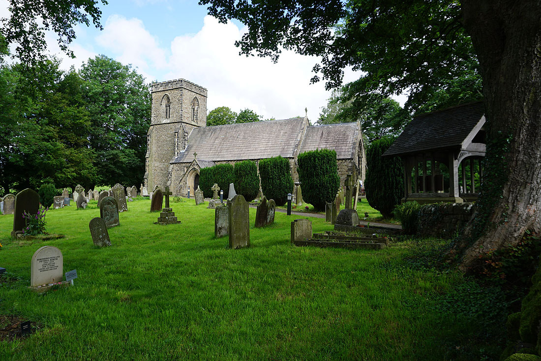
The church of St. Mary's in Embsay
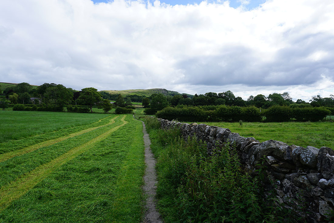
On the path from Embsay to Eastby
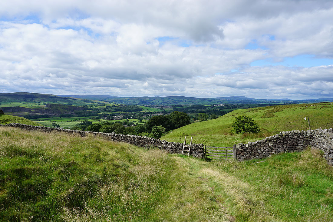
Skipton Moor, Pinhaw Beacon and Pendle Hill from Eastby Gate
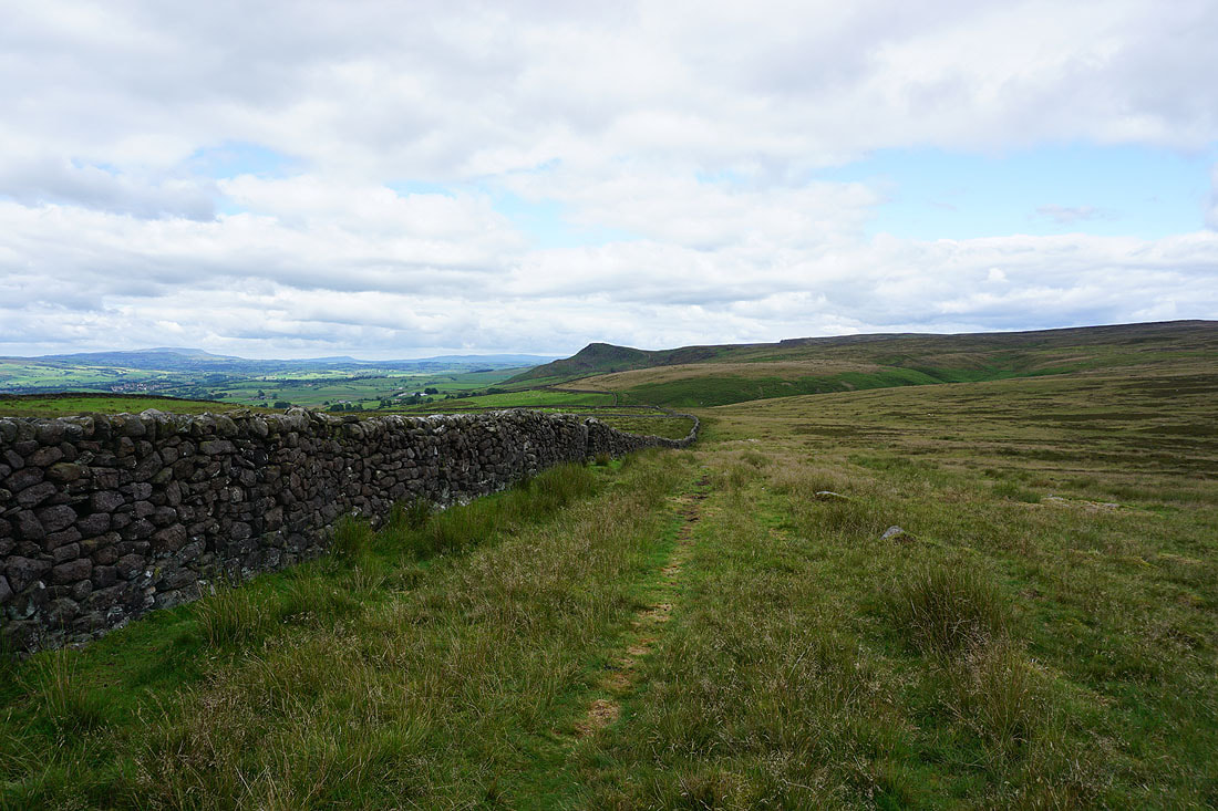
Embsay Crag to the west as I head for Halton Height
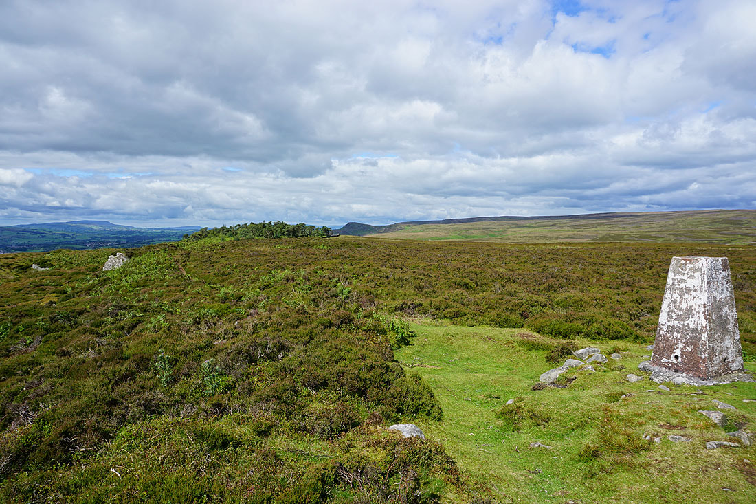
At the trig point on Halton Height with Embsay Crag to the west
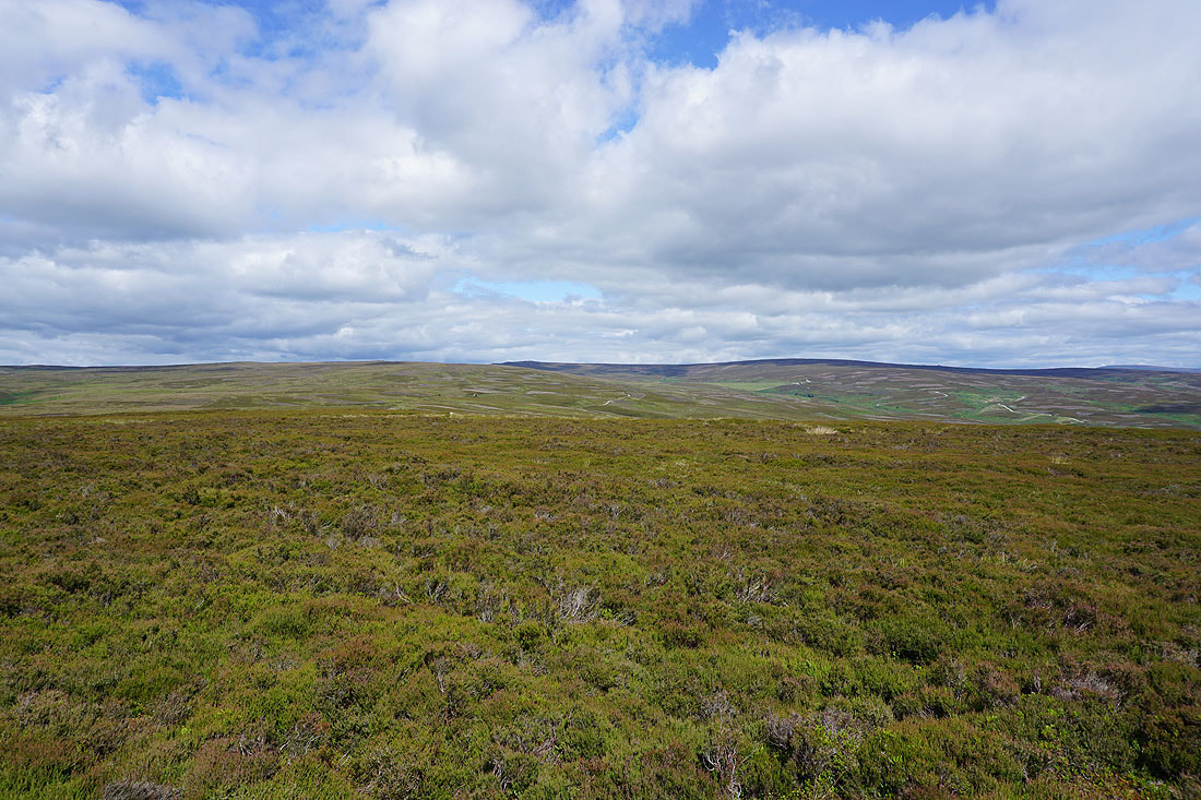
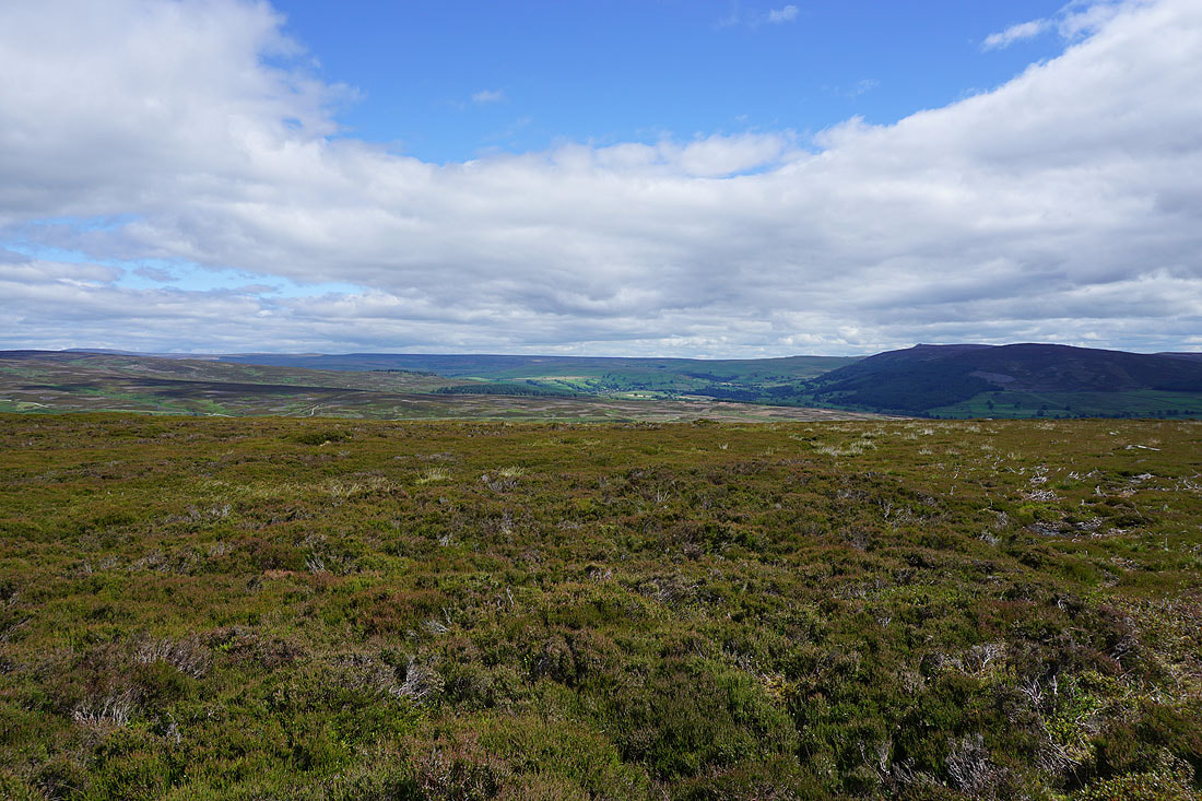
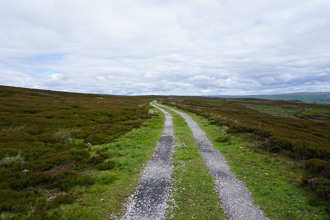
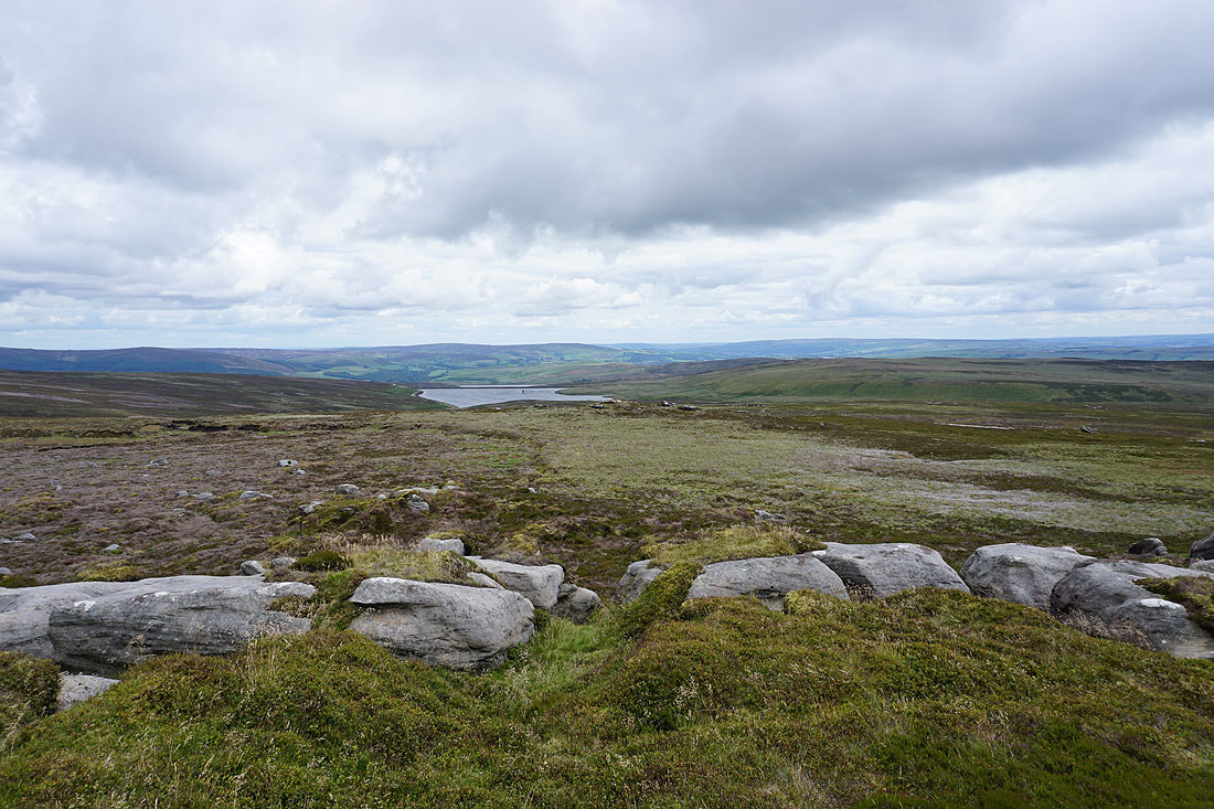
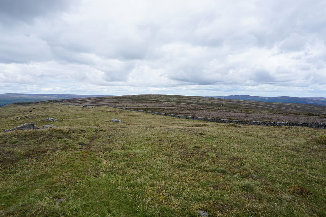
The heathery expanses of Barden Moor
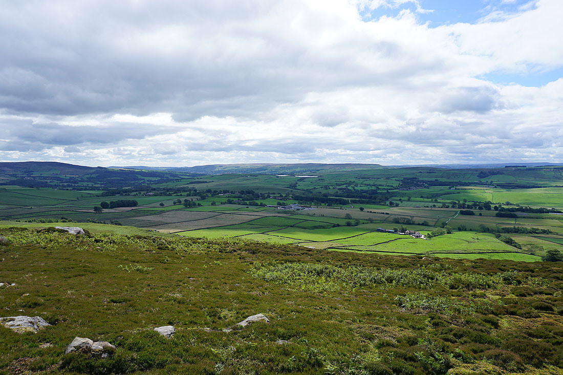
Grassington Moor and Simon's Seat to the northeast
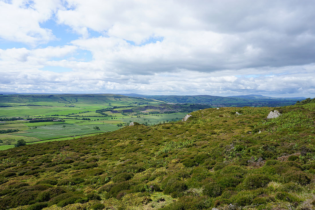
Chelker Reservoir and Ilkley Moor to the southeast
Finally, Skipton Moor, Pinhaw Beacon and Pendle Hill to the southwest
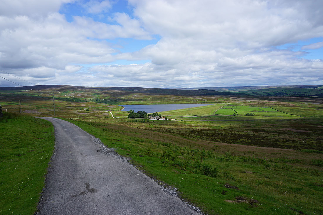
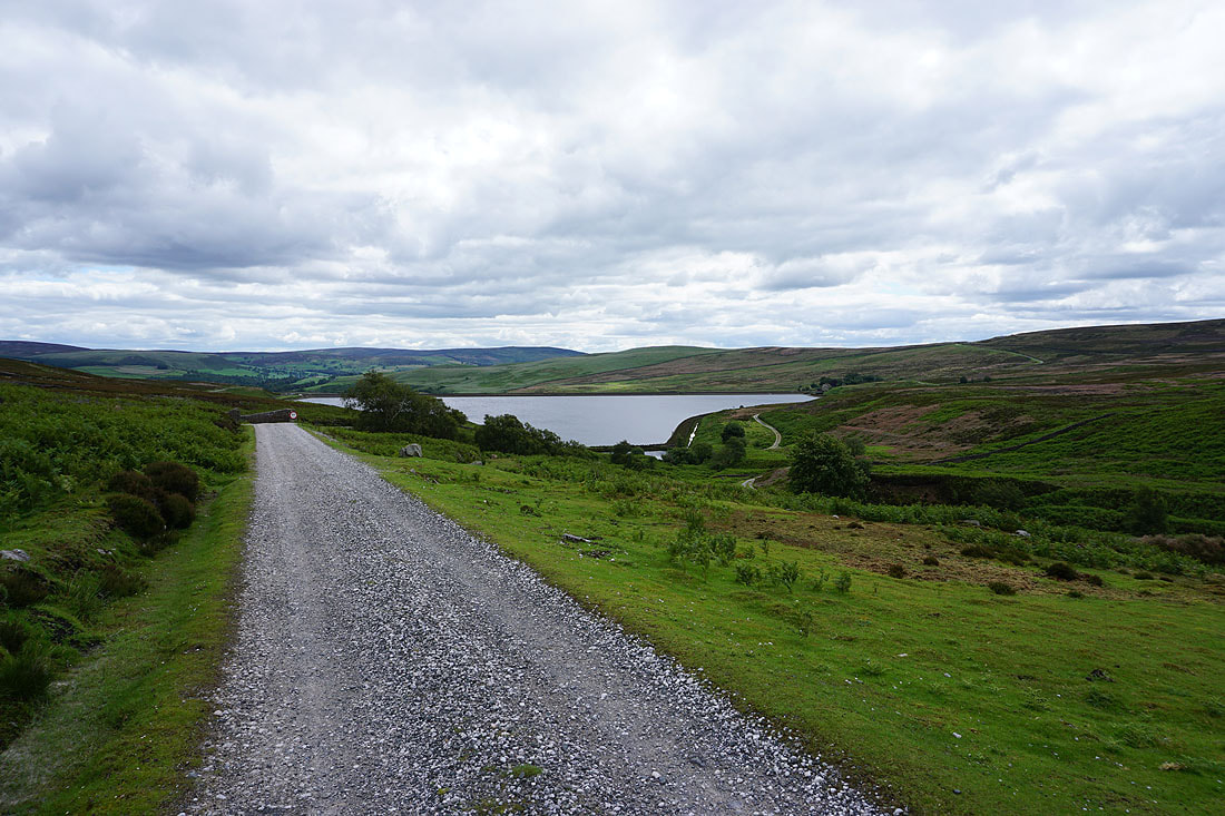
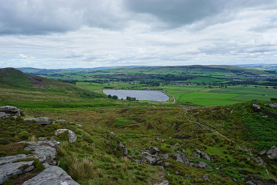
Following the track down to Lower Barden Reservoir
Simon's Seat and Carncliff Top above Lower Barden Reservoir
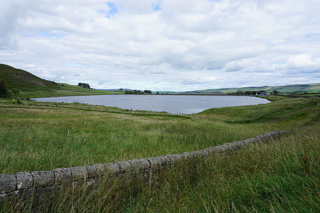
Leaving Lower Barden Reservoir behind..
..as I follow the track to Upper Barden Reservoir
Another look back to a now distant Lower Barden Reservoir with Beamsley Beacon and Ilkley Moor in the distance
Heading north across Barden Moor towards Numberstones End
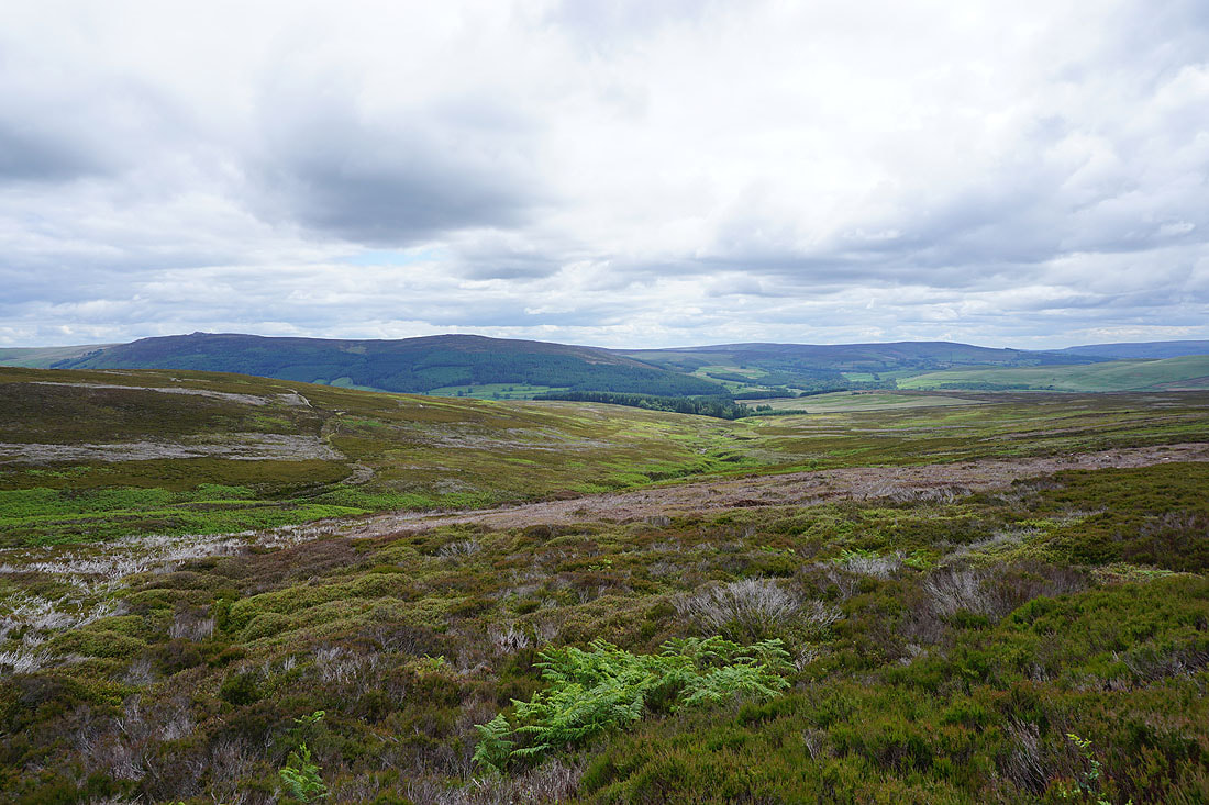
Simon's Seat, Carncliff Top, Round Hill and Beamsley Beacon from above Gill Beck
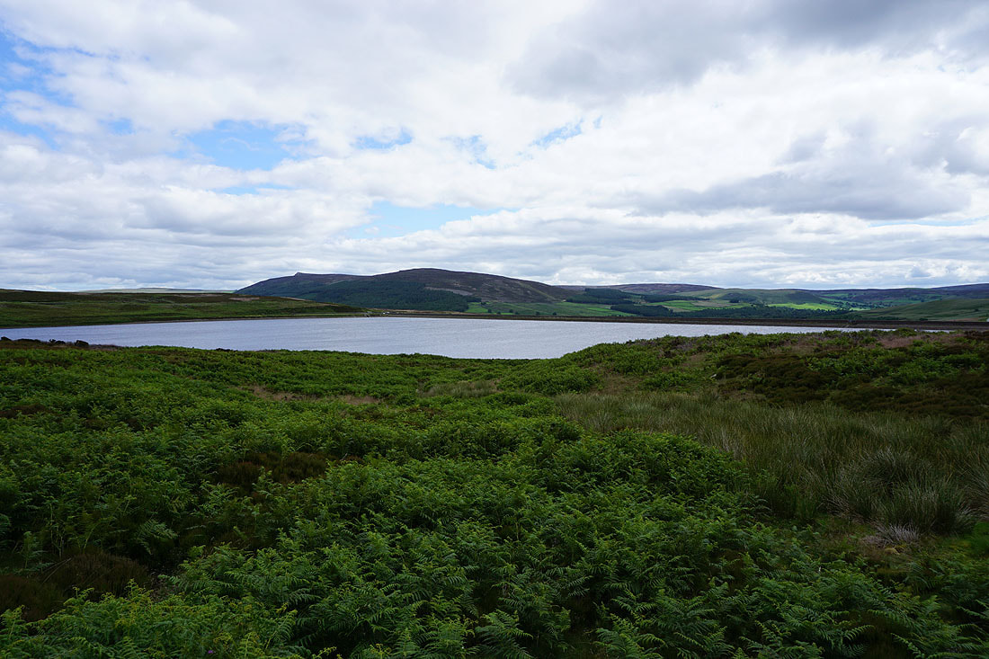
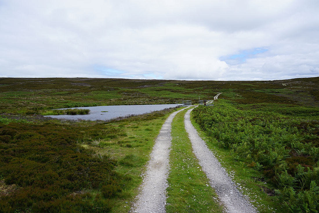
Past a little reservoir
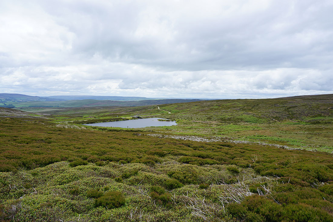
The little reservoir from the track to Numberstones End
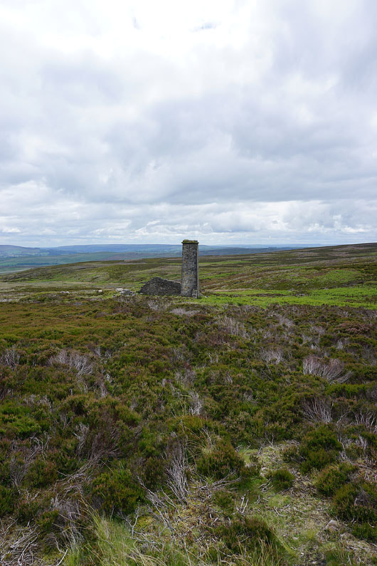
A chimney stands amongst ruins
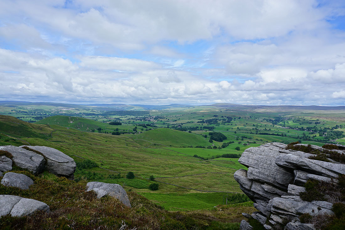
There's a fantastic view of Wharfedale to Grassington, Buckden Pike and Great Whernside from Numberstones End. Well worth the short detour from the moorland track.
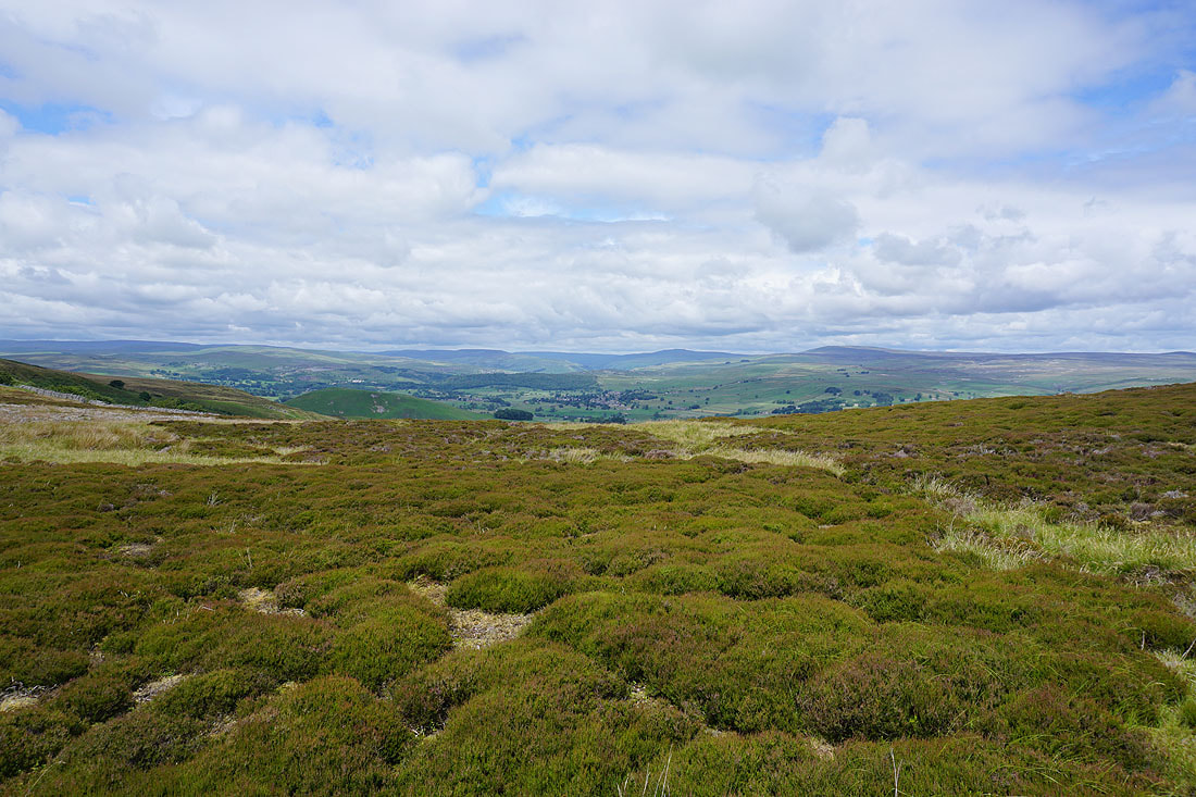
The moorland of Wharfedale as I follow..
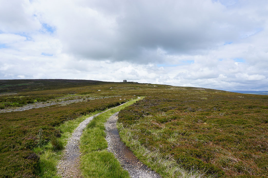
..the track up to the shooting hut on Burnsall Fell
A boulder next to the shooting hut provides a convenient perch for me to stop and have lunch, and while I do, I have a view across to Appletreewick Moor and Simon's Seat behind Numerstones End
and to Simon's Seat, Carncliff Top, Round Hill, Beamsley Beacon and Ilkley Moor
Lunch had, back onto the track west across Burnsall Fell
Views across Wharfedale to Buckden Pike and Great Whernside to my right
The war memorial on Cracoe Fell comes into view, along with a distant Pendle Hill
Looking down on Upper Barden Reservoir..
..as I reach the war memorial on Cracoe Fell
A few photos of the view from the war memorial. Starting with Buckden Pike and Great Whernside above Wharfedale.
The gentle swell of Burnsall Fell, the high point on Barden Moor
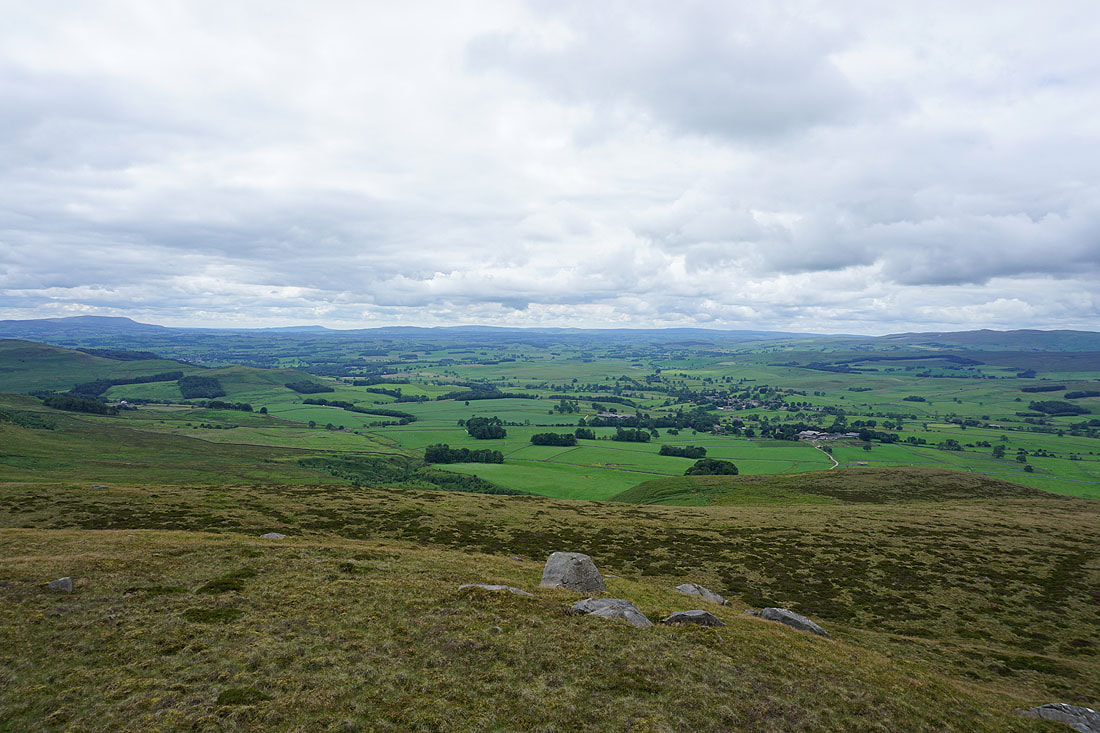
I spy a distant Ingleborough
It's visible through the gap between Rye Loaf Hill and Fountains Fell. The village of Cracoe is in the valley below.
The final shot is looking southwest along the crags to a distant Pendle Hill
Leaving the war memorial behind on Watt Crag
A long line of distant Bowland fells
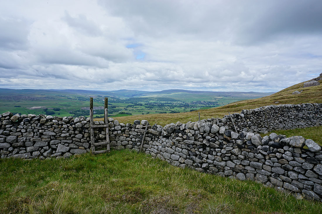
Buckden Pike, Great Whernside and Wharfedale. That stile is in need of repair.
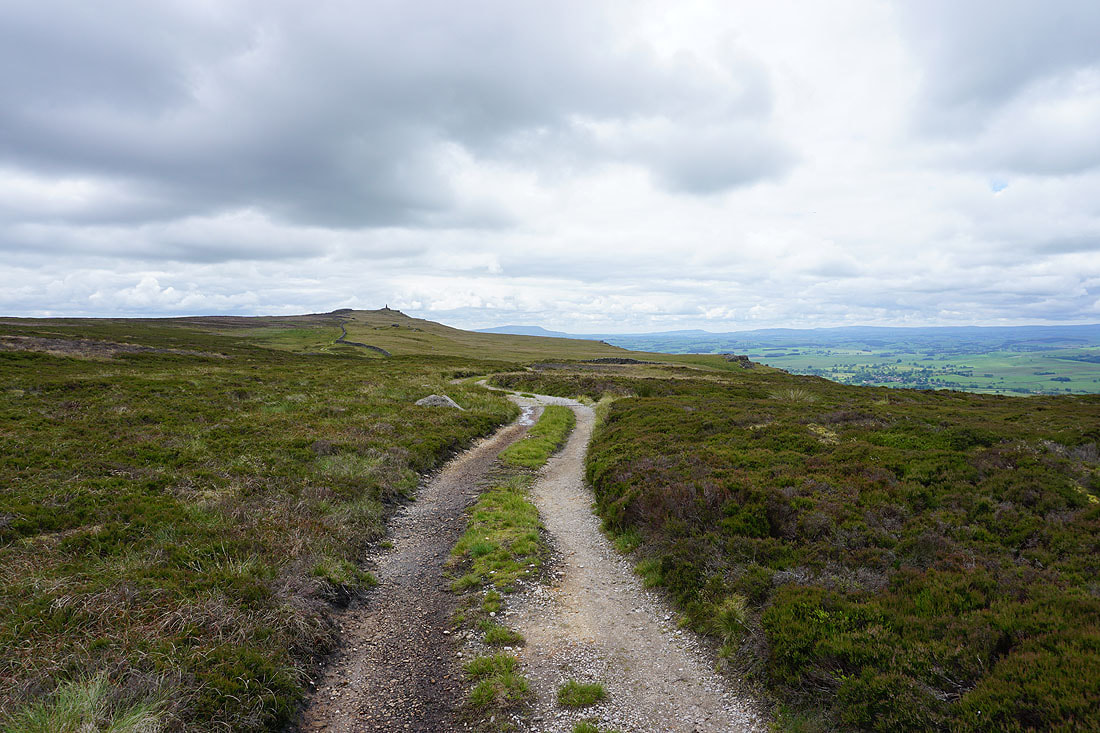
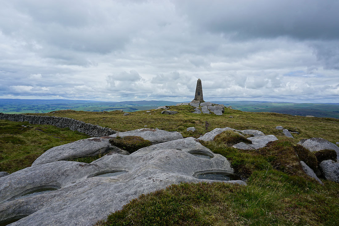
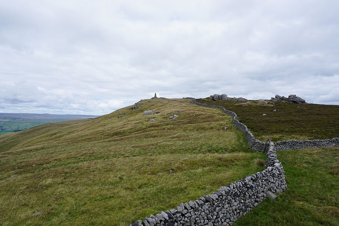
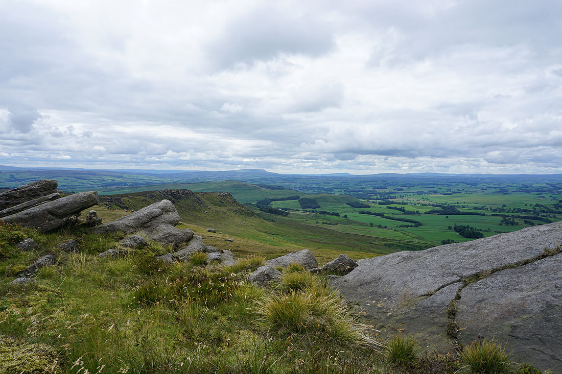
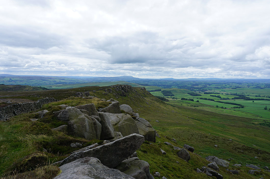
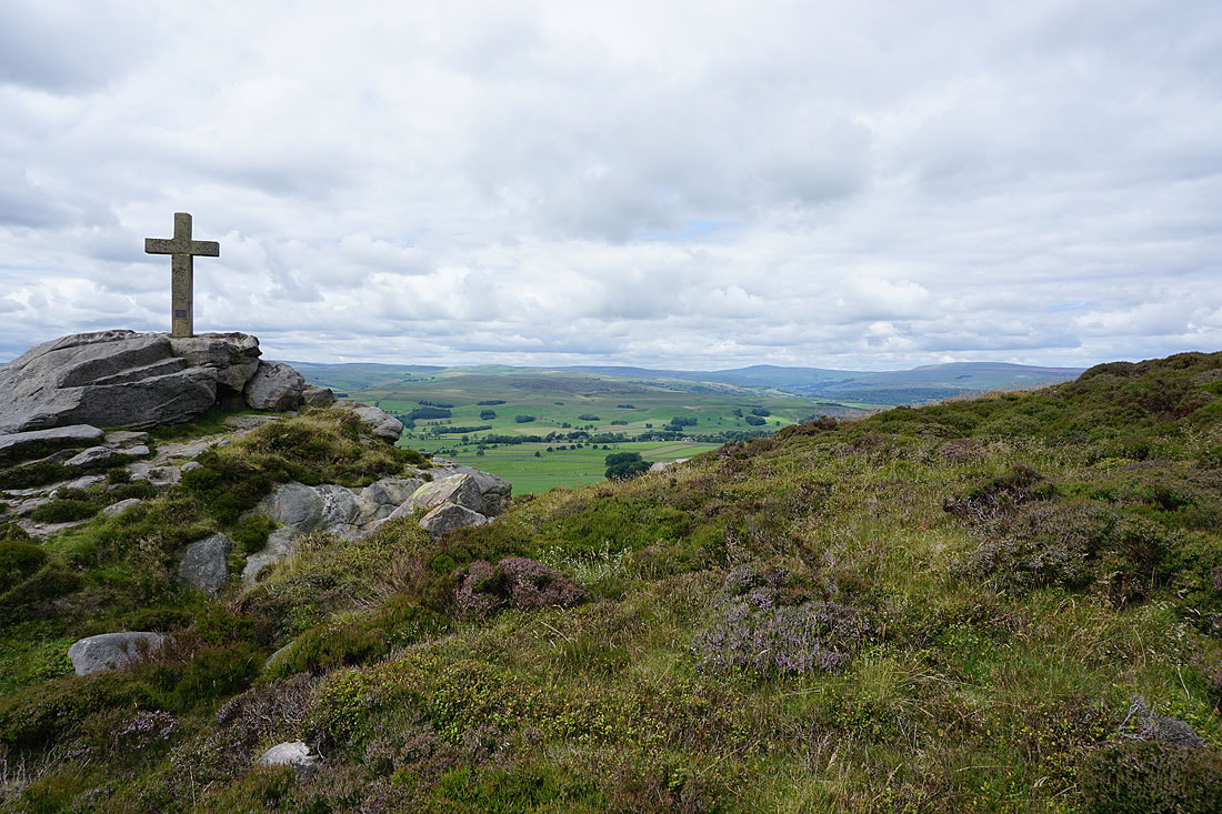
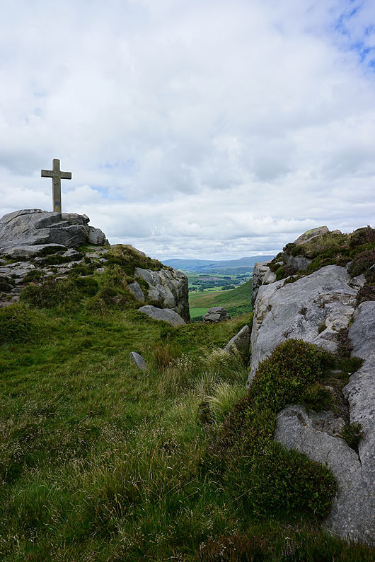
Definitely my favourite part of the walk. Following the crags southwest to Rylstone Cross....
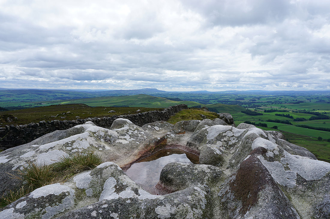
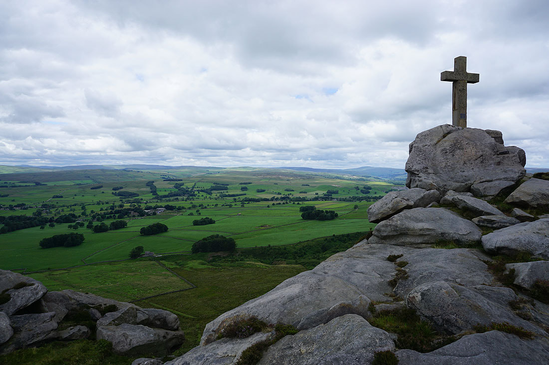
The moors west of Wharfedale and Buckden Pike and Great Whernside from Rylstone Cross..
Boss Moor, Threshfield Moor and Malham Moor..
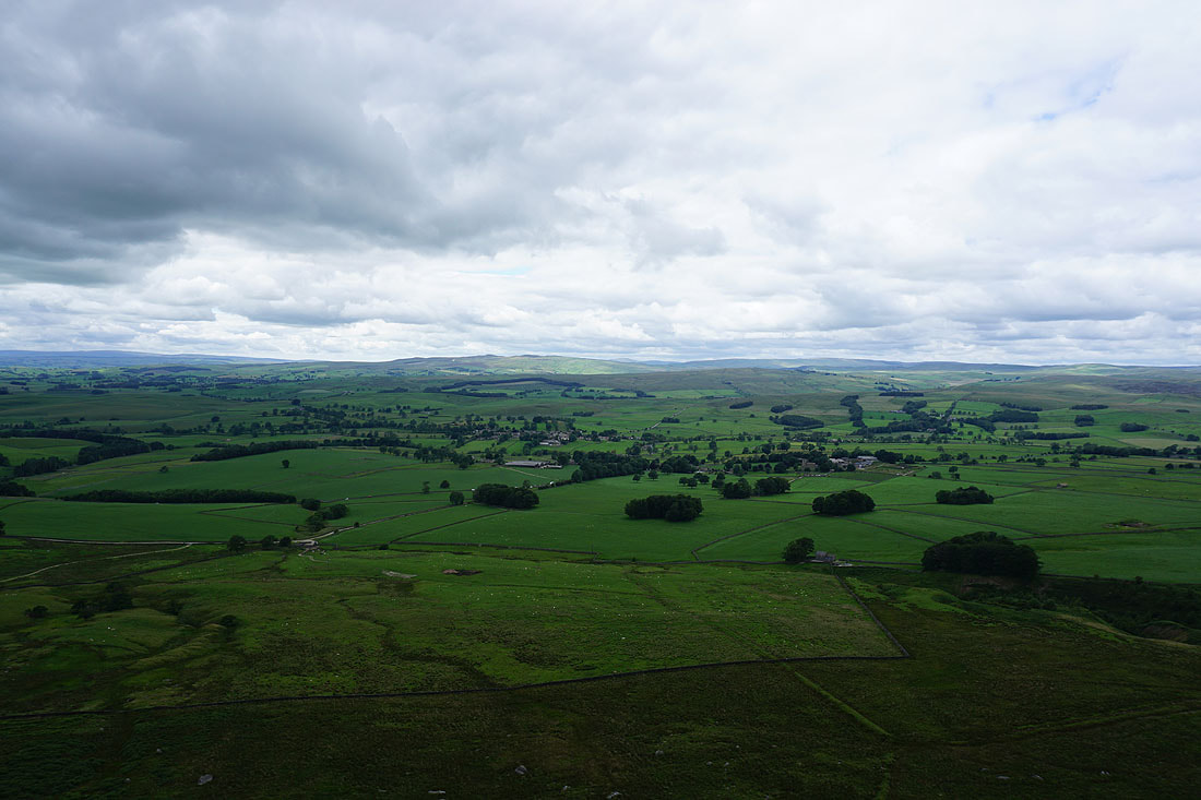
..round to Rye Loaf Hill, Kirkby Fell, Hetton Common and Fountains Fell
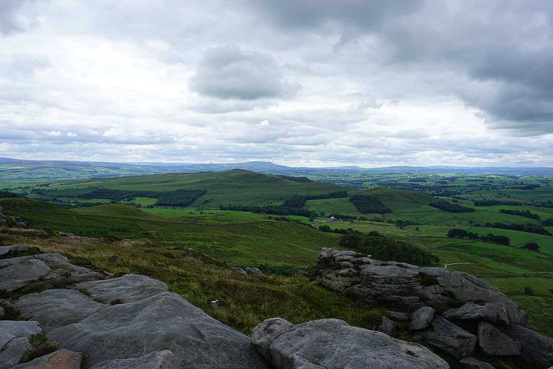
Pendle Hill in the distance behind Sharp Haw
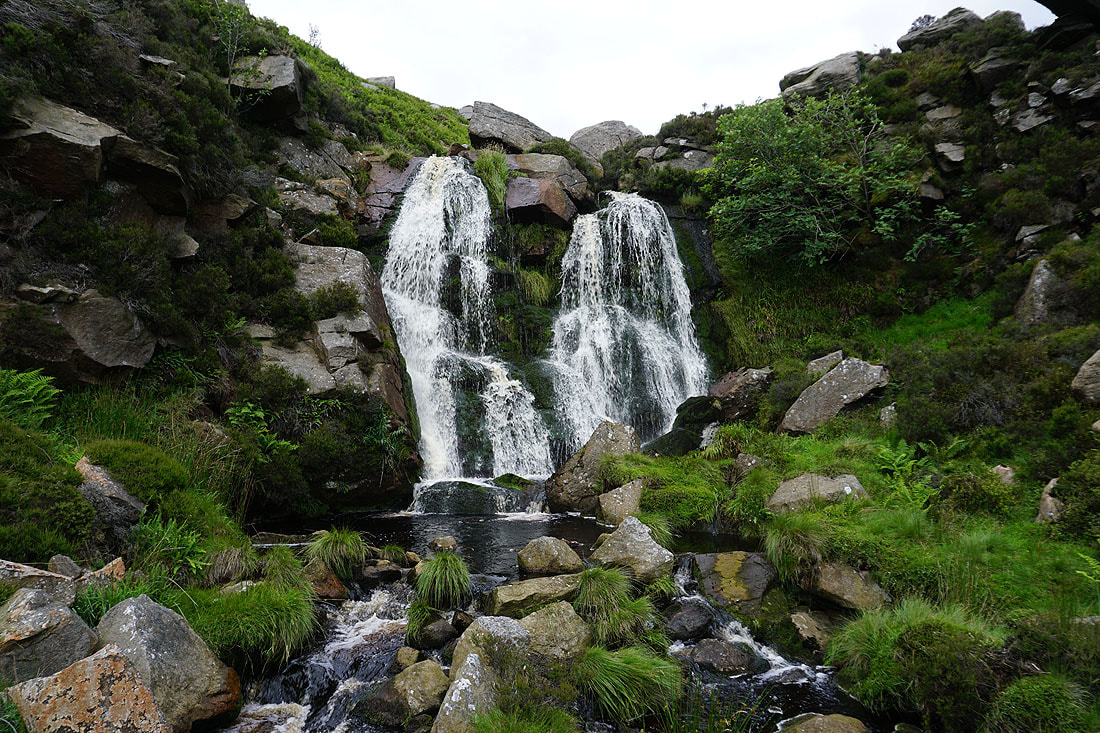
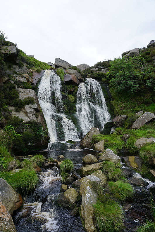
The waterfall in Waterfall Gill..
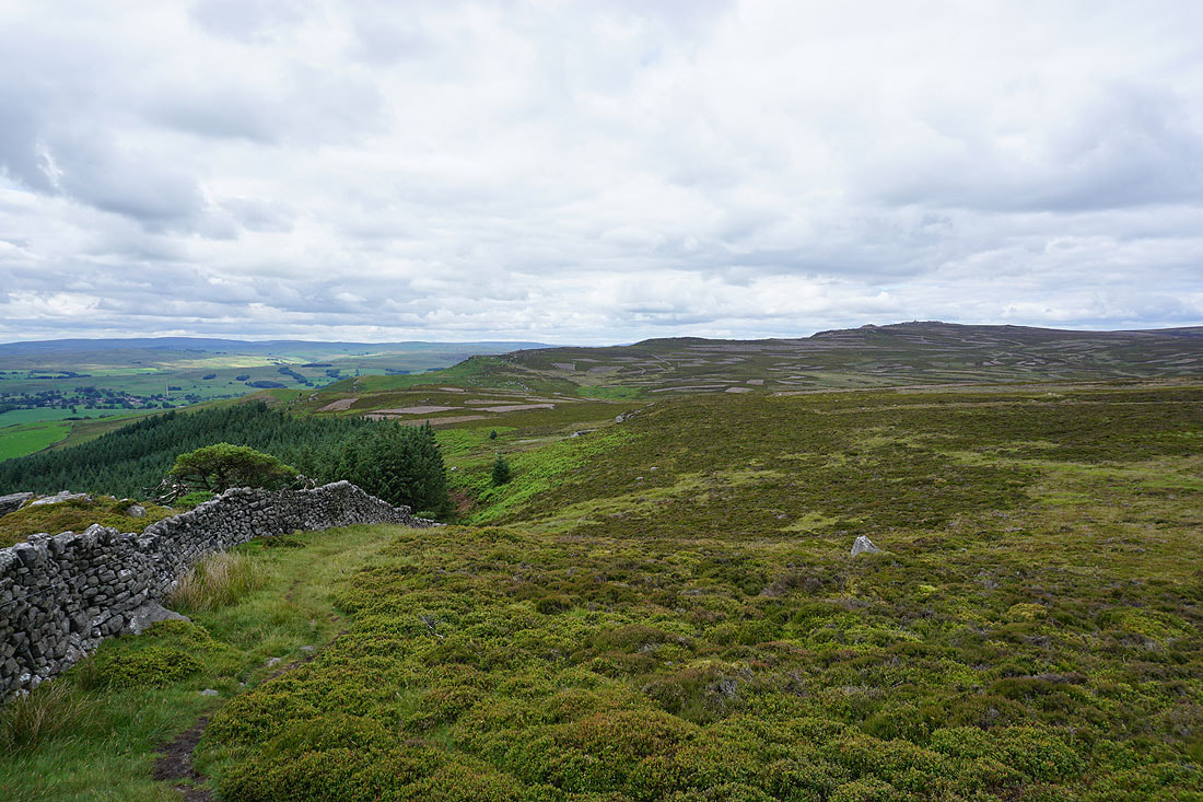
Looking back to Cracoe Fell as I head for Crookrise Crag Top
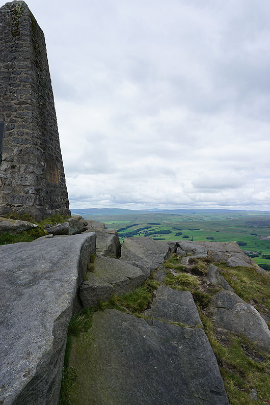
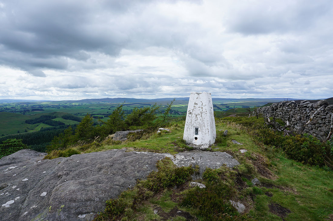
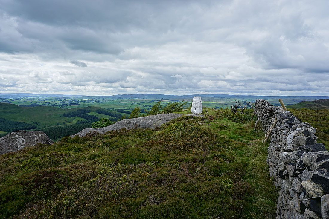
At the trig point on Crookrise Crag Top
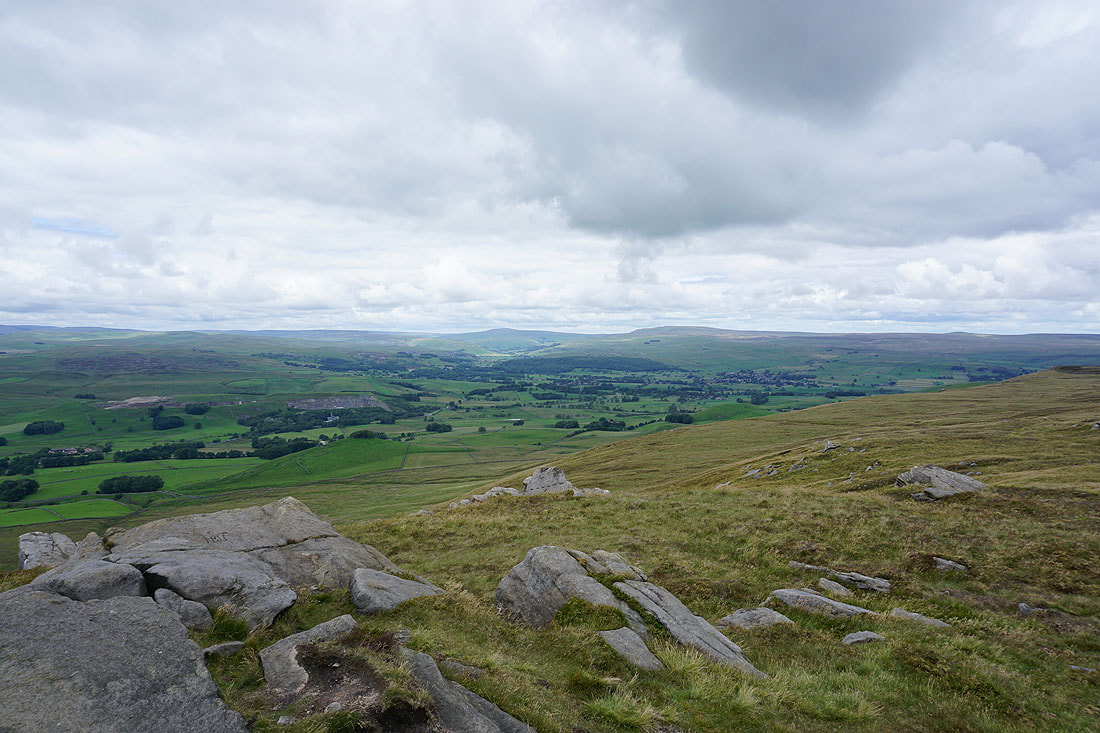
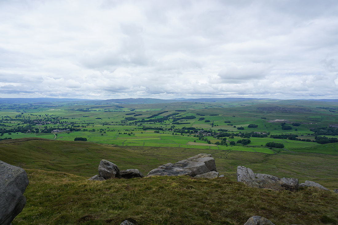
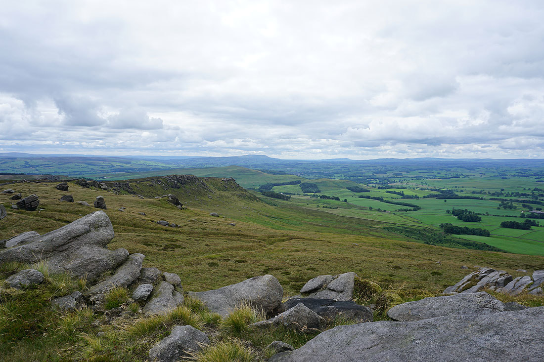
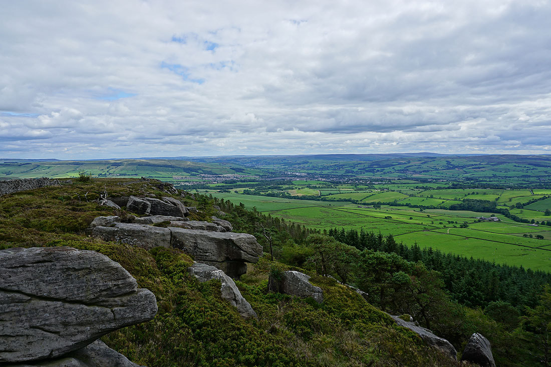
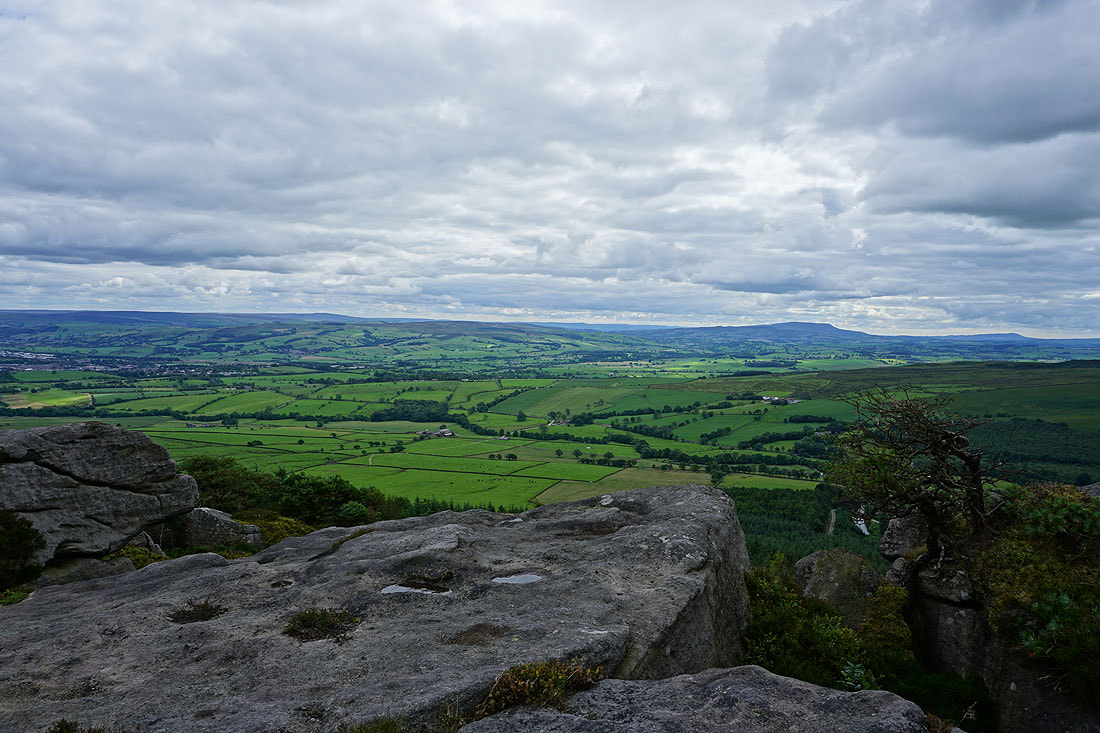
Looking south down Crookrise Crag to Skipton and Airedale
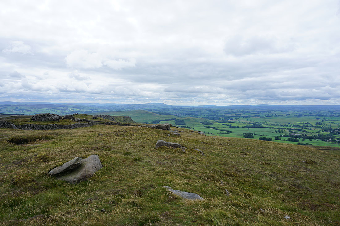
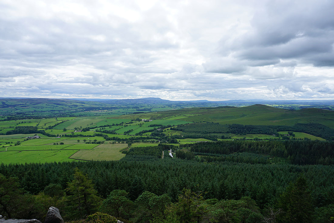
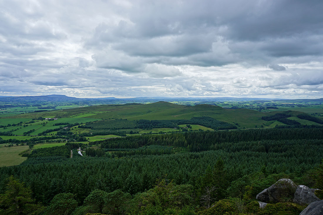
Pendle Hill and distant Bowland fells beyond the nearby Sharp Haw..
Rye Loaf Hill, the moors around Malham, and Fountains Fell in the distance to the northwest
South Pennines moors, from Boulsworth Hill and Pinhaw Beacon, across to Pendle Hill
Following the path down to Embsay Reservoir..
Pinhaw Beacon and Pendle Hill in the distance from the lane down to Embsay
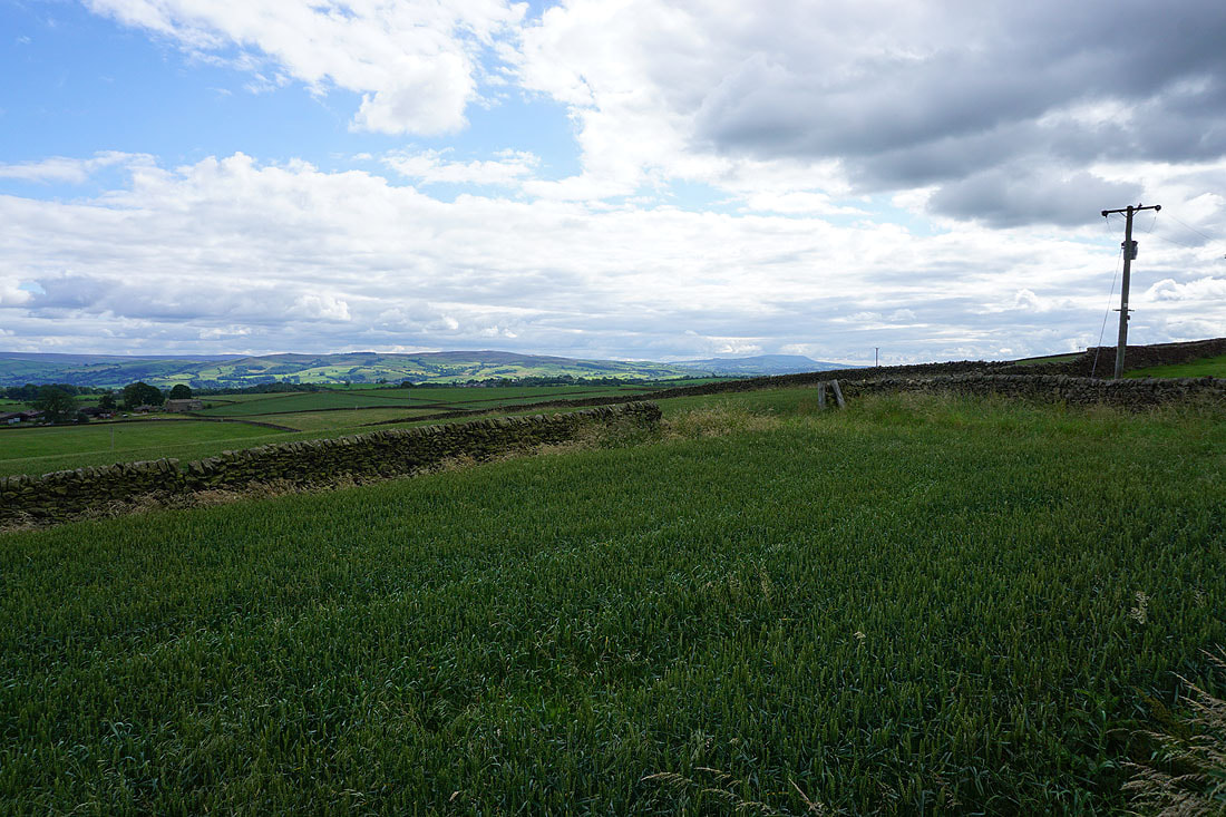
Skipton Moor ahead as I walk down Pasture Road to Embsay
