11th July 2022 - Grit Fell and Clougha Pike
Walk Details
Distance walked: 6.2 miles
Total ascent: 1257 ft
OS map used: OL41 - Forest of Bowland & Ribblesdale
Time taken: 3 hrs
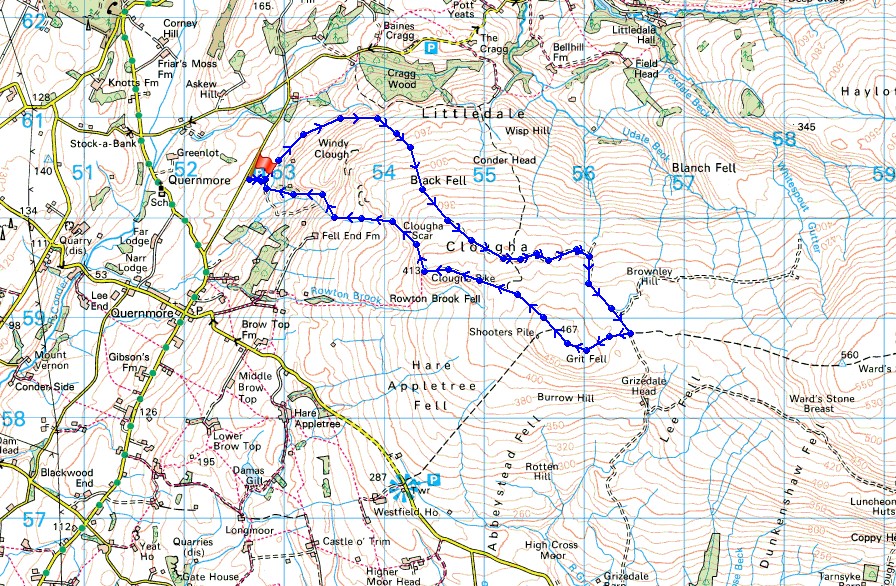
Route description: Birk Bank car park on Rigg Lane-Birk Bank-Ottergear Bridge-track round the back of Clougha Pike-Grit Fell-Clougha Pike-Clougha Scar-Birk Bank car park on Rigg Lane
I've got the day off work and although it's forecast to be a very warm, or even hot day, I decided to head out for a walk in the afternoon. I'm no great fan of hot weather, especially when out hill walking as I can find myself overheating but there's forecast to be a breeze up on the moors, and with my choice of destination near the coast, perhaps that will mean it will be a bit cooler. It's been nearly five years since I last did this walk in the northwest corner of the Forest of Bowland. I couldn't believe that it had been that long ago, it didn't feel like it. Moving home three years ago had taken me to the opposite corner of Lancashire and made getting there a longer and more difficult journey, but I certainly won't be leaving it another five years until my next visit. It was a very warm afternoon but there was enough of a breeze to make it comfortable, and a lot of high cloud meant that most of the time any sunshine was very hazy. Fortunately the visibility was good enough for great views from Clougha Pike.
From the car park I followed the path north across Birk Bank and Ottergear Bridge to reach the shooters track that makes for the col between Ward's Stone and Grit Fell. I followed this up round the back of Clougha Pike to its top and from there to the top of Grit Fell. There was a brief stop to take in the view before continuing westwards to Clougha Pike. My route back took me down Clougha Scar and through the woodland on Birk Bank to the car park.
Route map
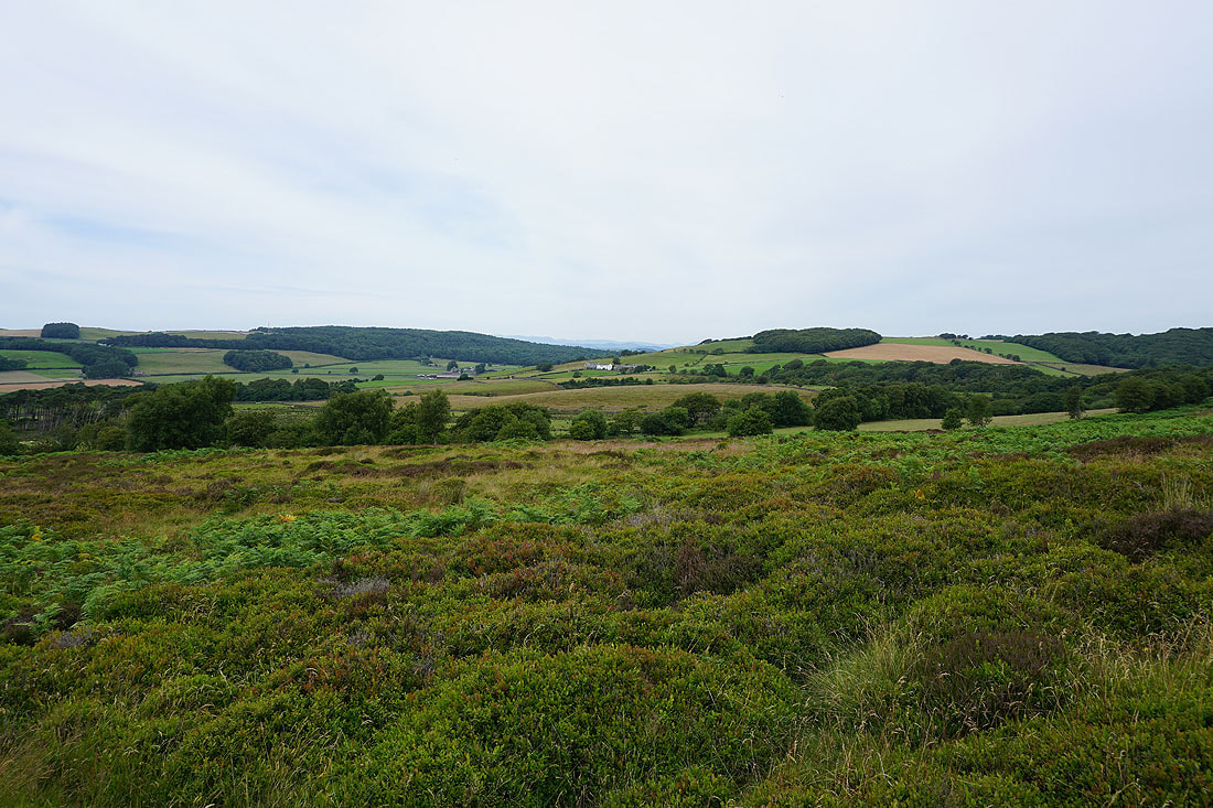
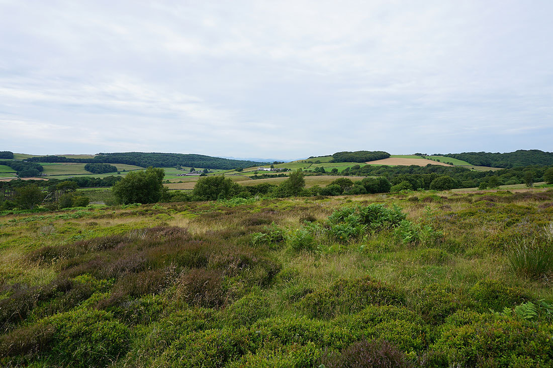
A view across the Condor valley as I set off from the car park
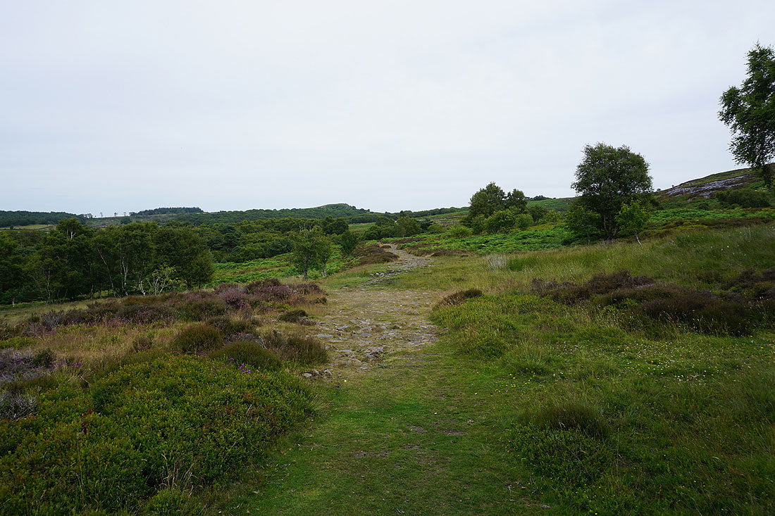
On the path across Birk Bank
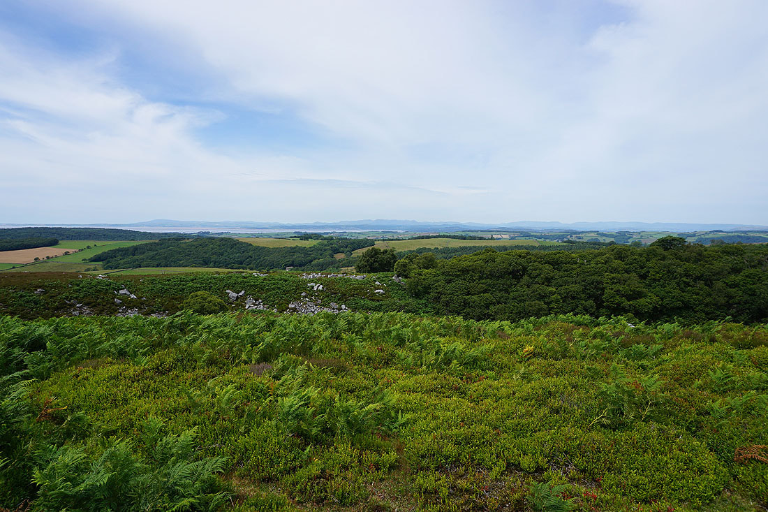
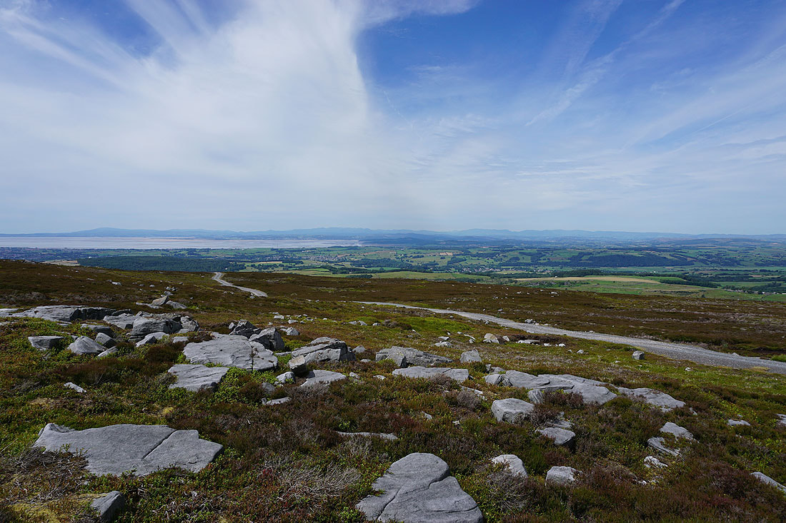
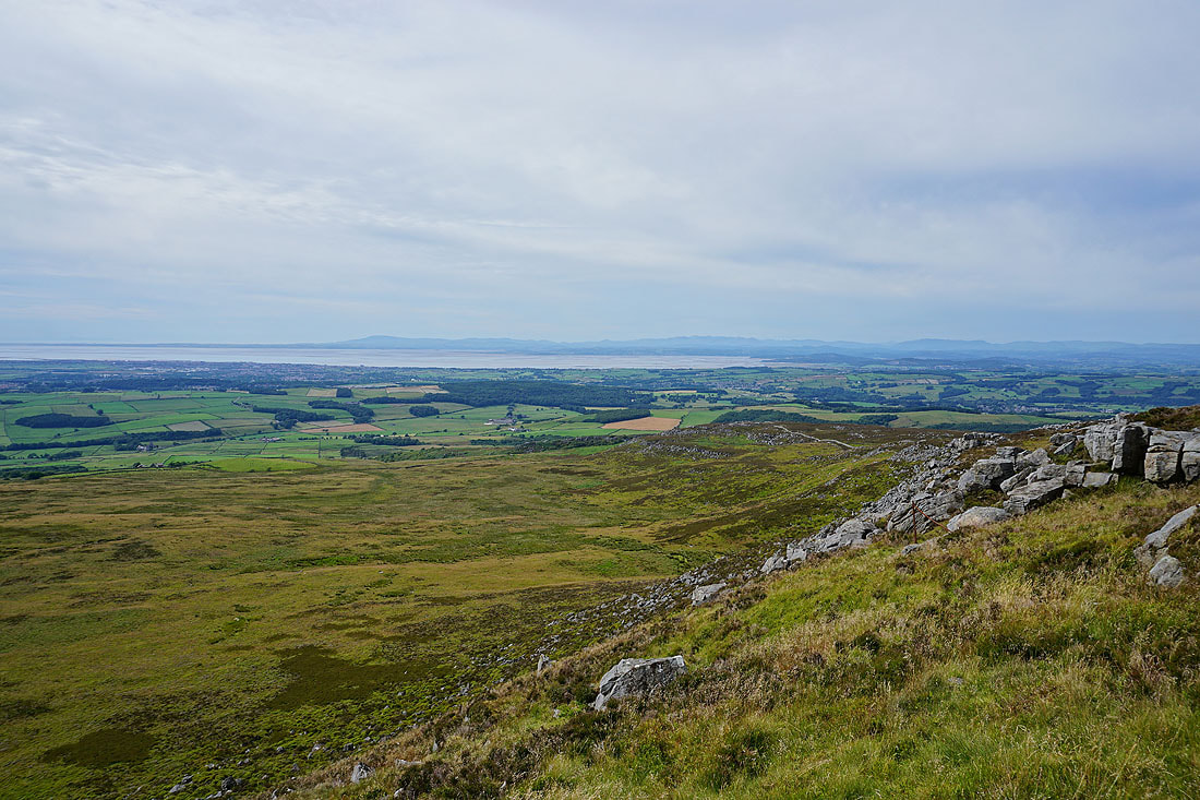
On the track round the back of Clougha Pike and the view becomes increasingly expansive across Morecambe Bay to the Lake District fells..
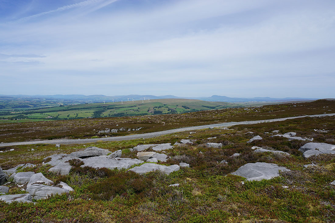
..and across the top of Caton Moor to the Howgills, Middleton Fell, Great Coum, Gragareth, Whernside, Ingleborough and Penyghent in the Yorkshire Dales
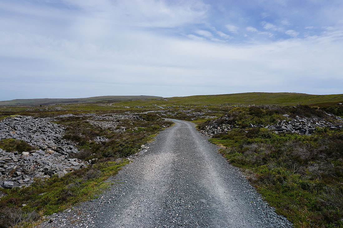
The track now makes its way across the northern slopes of Grit Fell towards the gap between Ward's Stone and Grit Fell
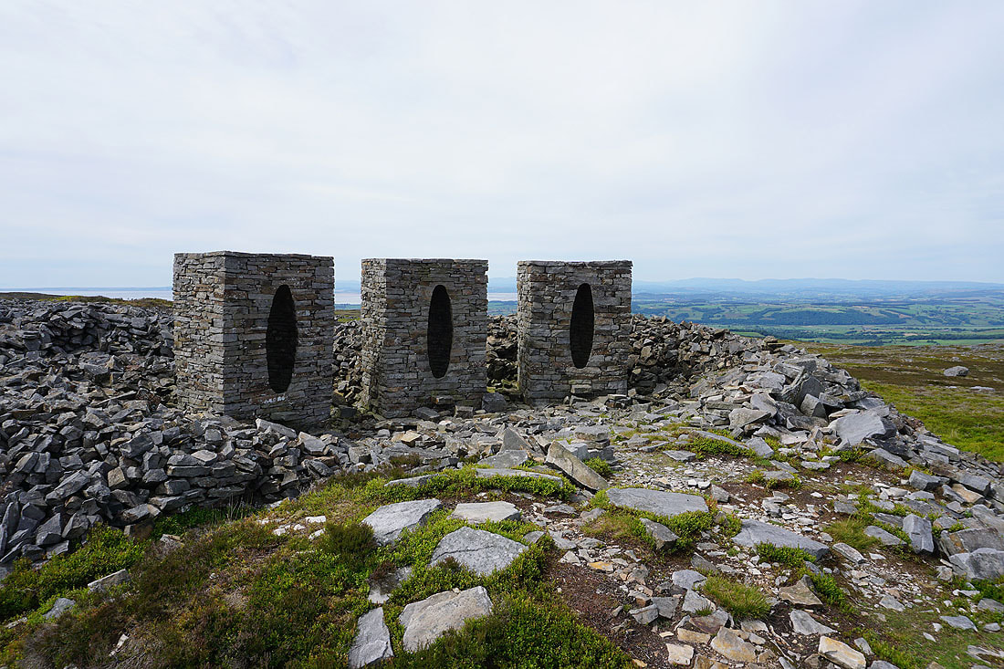
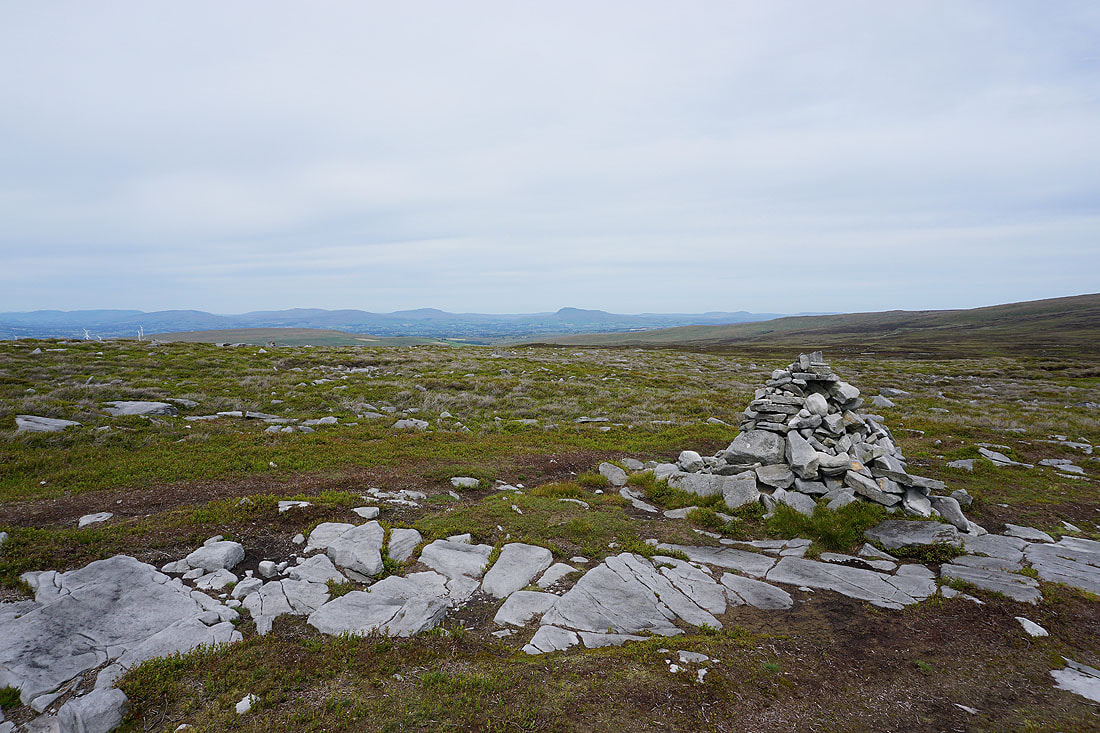
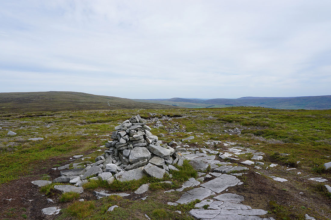
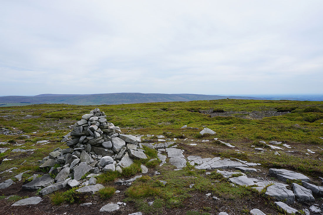
The Andy Goldsworthy art installation. Just a short distance above the track.
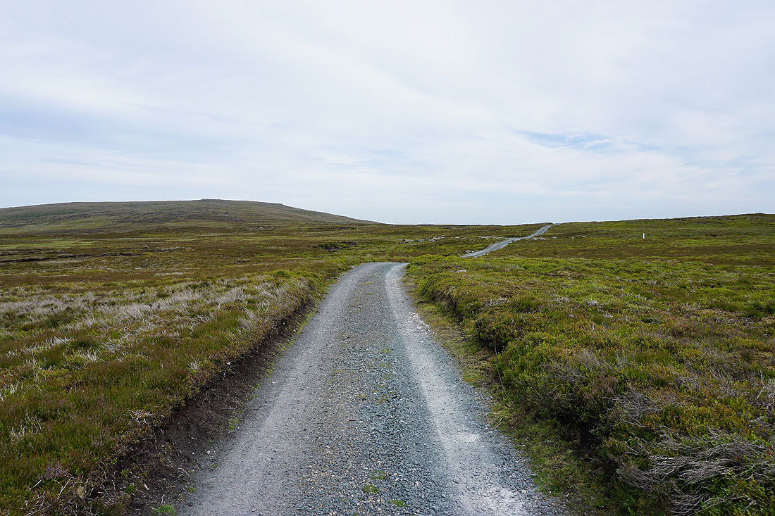
The shooters track heads for the gap between Ward's Stone and Grit Fell
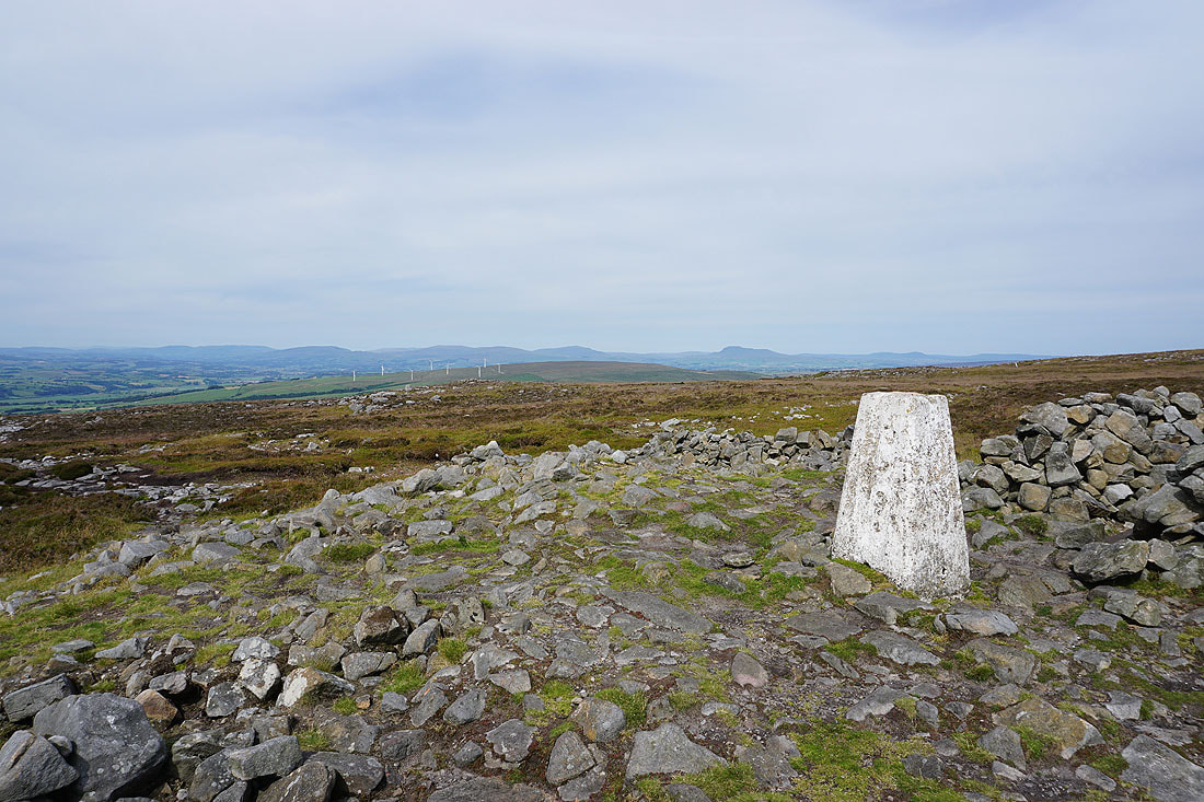
Whernside, Ingleborough and Penyghent from the summit of Grit Fell
Ward's Stone and the fells around the Trough of Bowland
Looking across Wyresdale to Hawthornthwaite Fell
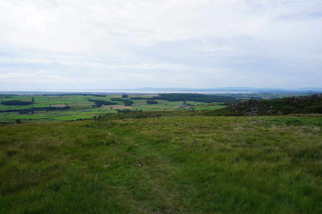
I'll never get tired of seeing this view across to the Lake District
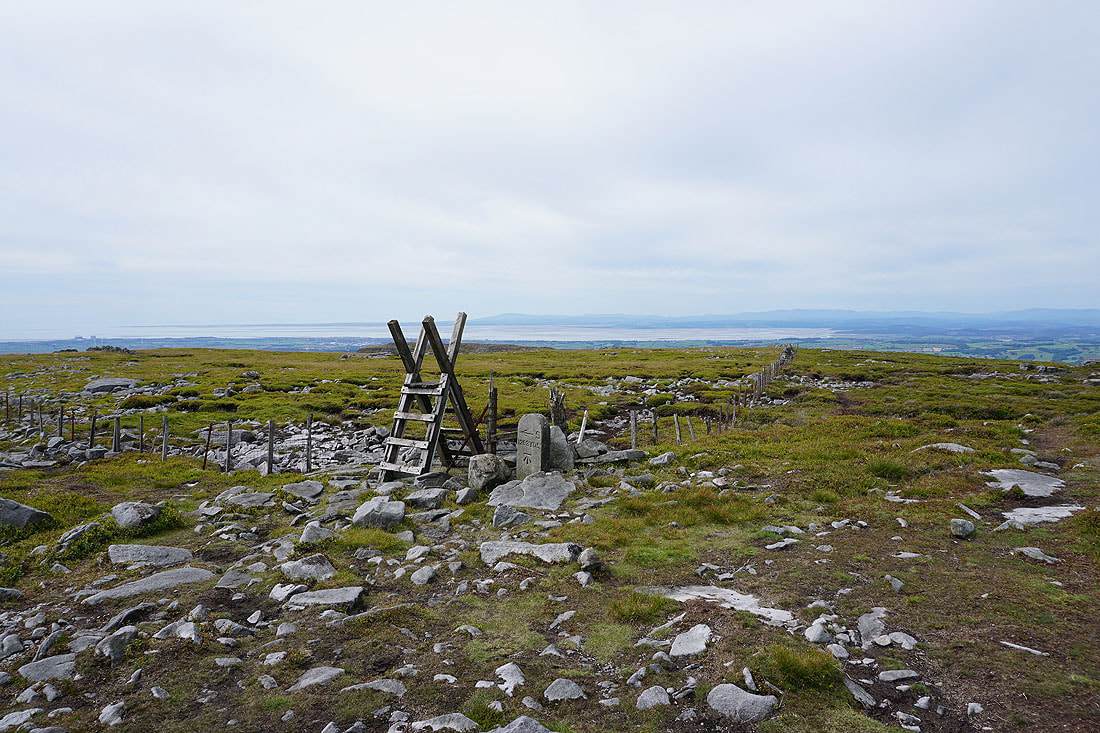
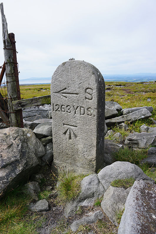
Boundary stone with OS benchmark
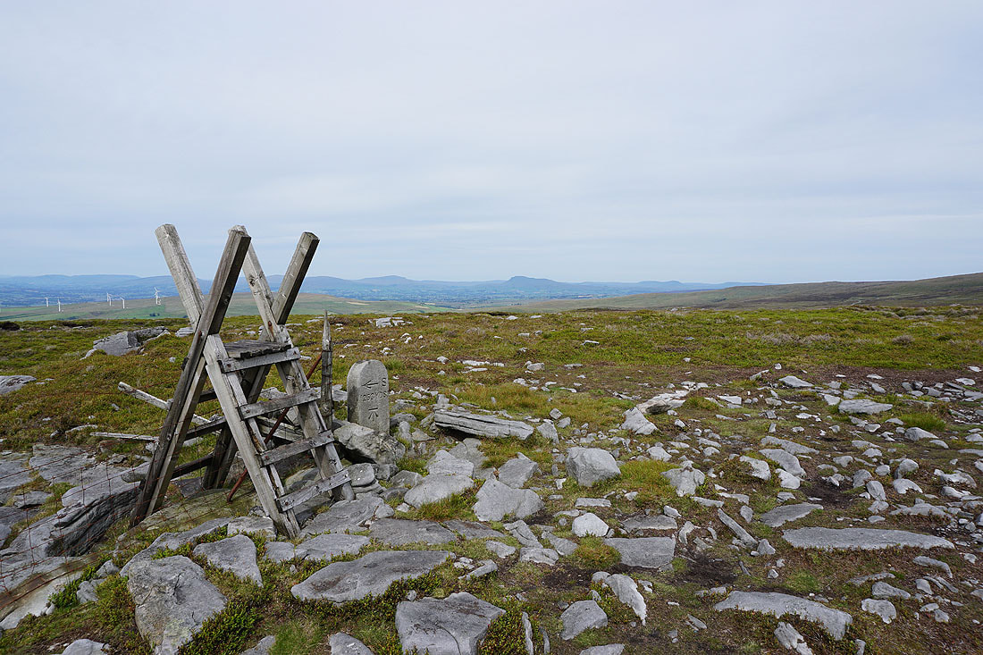
Whernside, Ingleborough and Penyghent in the Yorkshire Dales
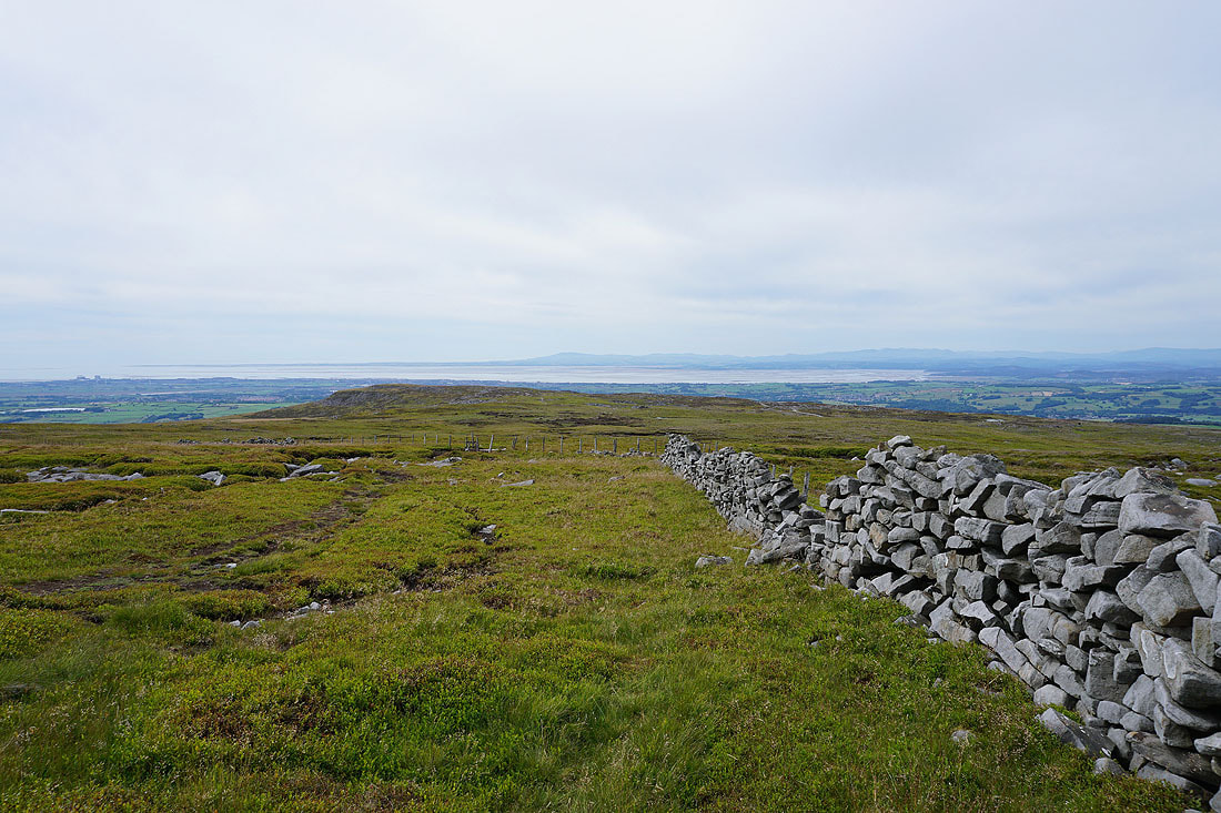
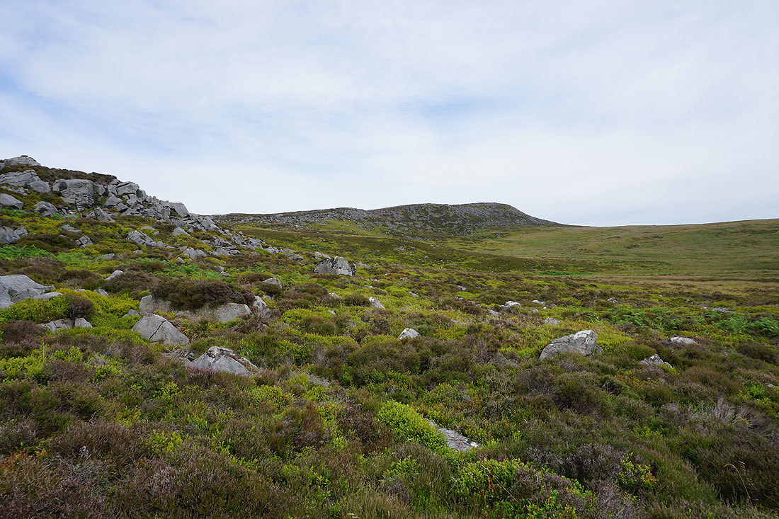
Heading for Clougha Pike
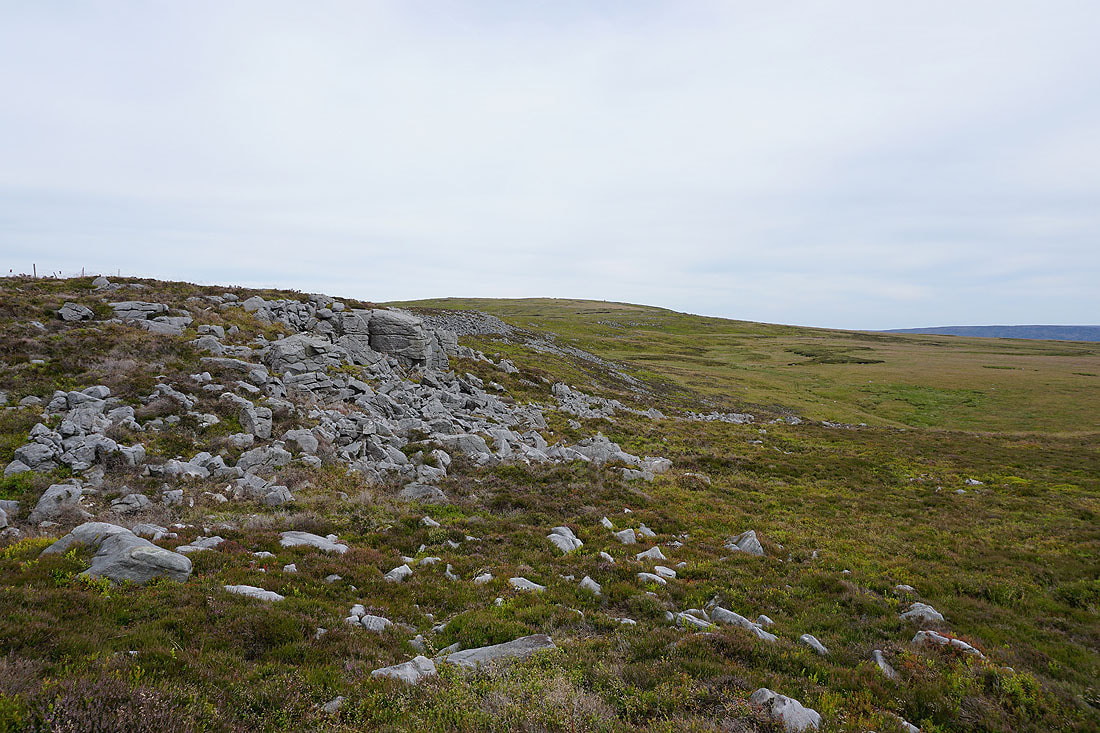
Bowland grit
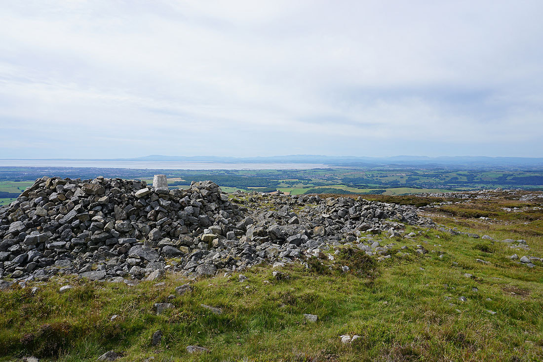
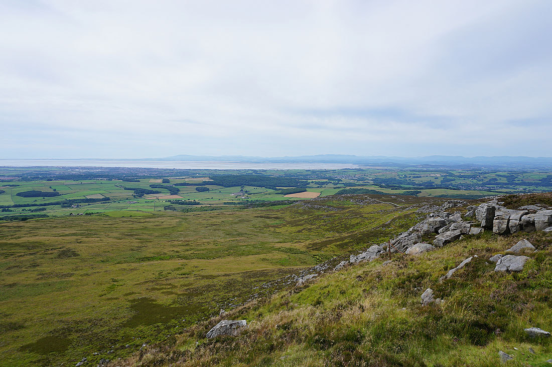
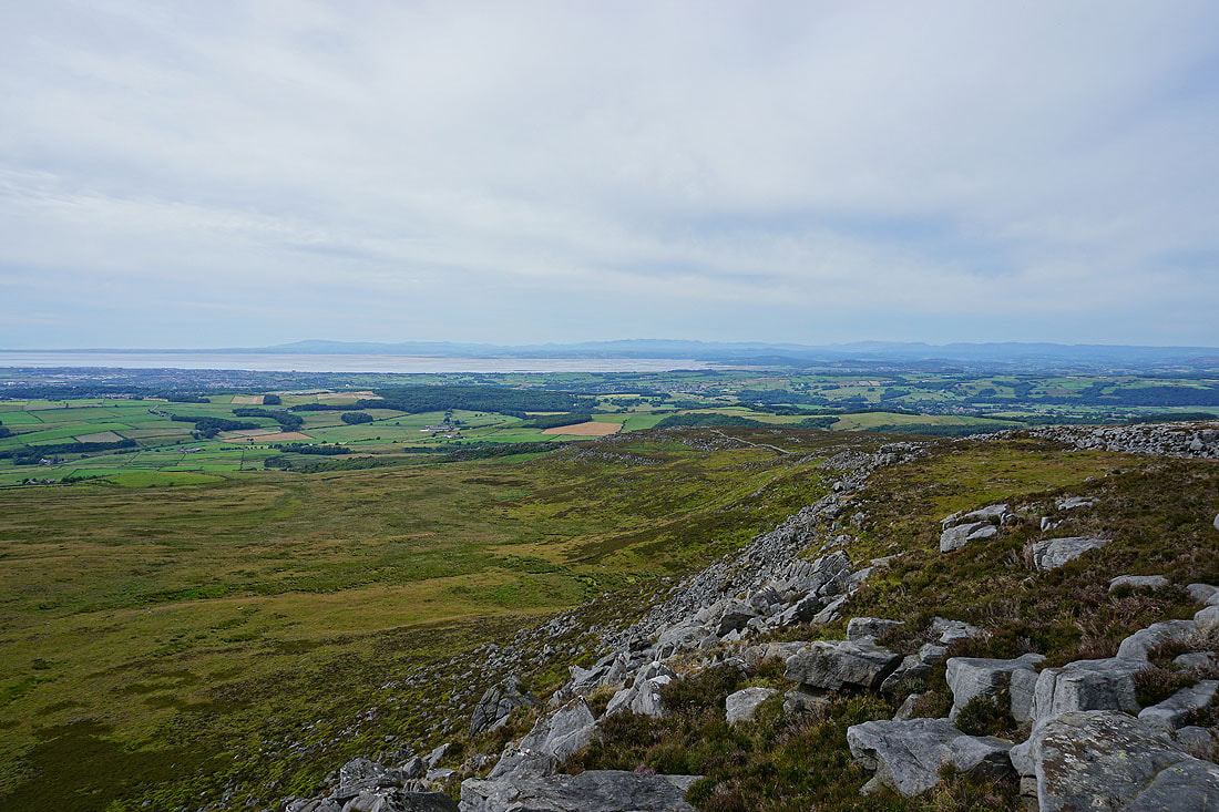
Morecambe Bay and the Lake District fells from the trig point on Clougha Pike
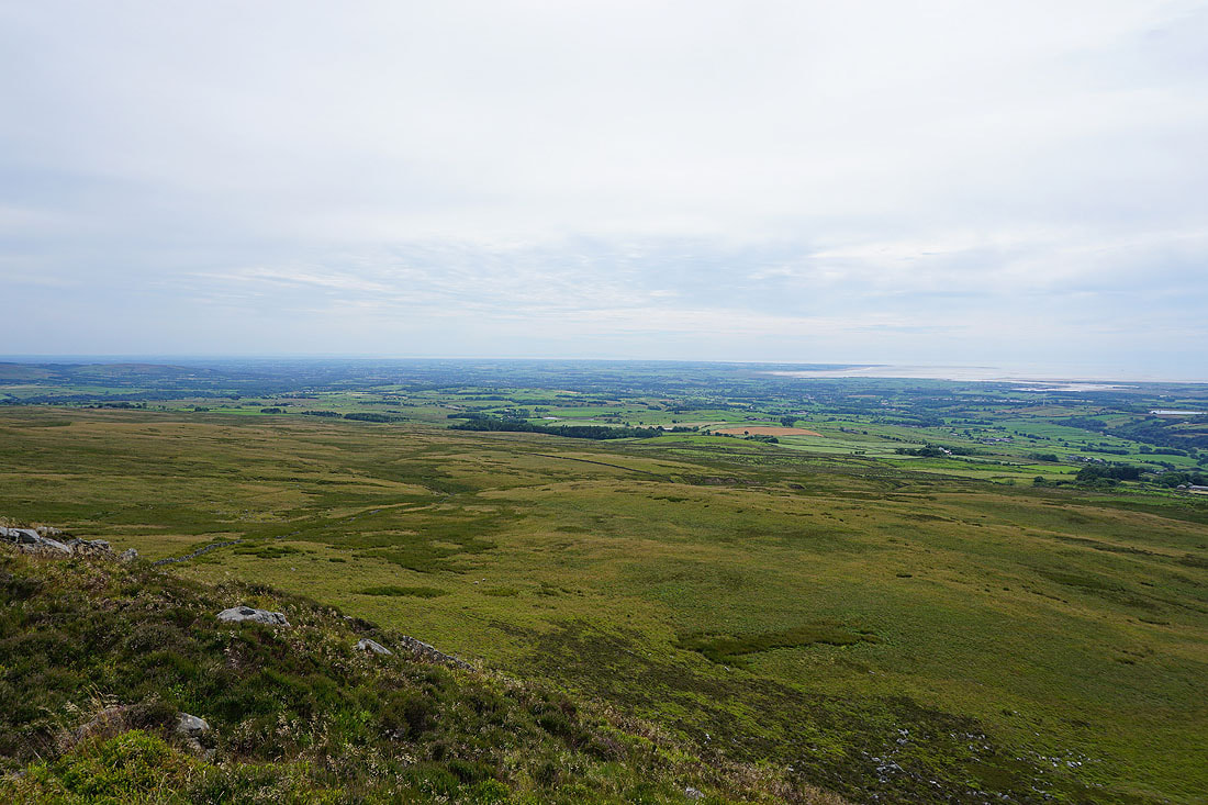
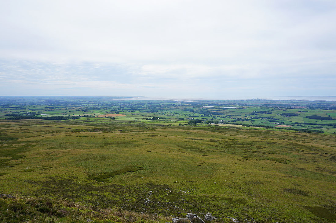
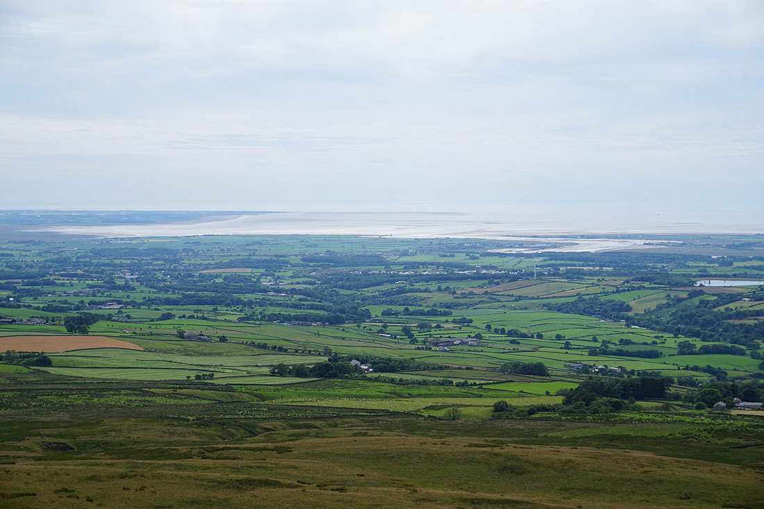
Looking towards the Fylde coast
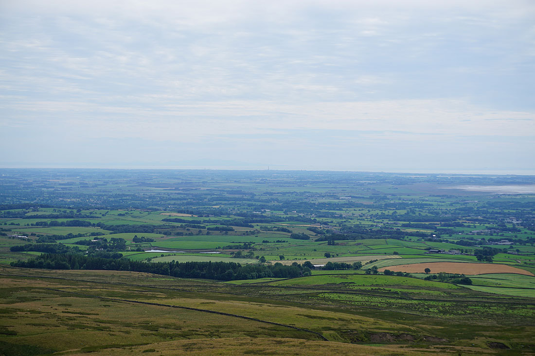
and if I zoom in Blackpool Tower can be made out
The estuary of the River Lune..
This view across Morecambe Bay to the Lake District fells is the definite highlight...
The Howgills, Middleton Fell, Great Coum, Gragareth, Whernside, Ingleborough and Penyghent in the Yorkshire Dales
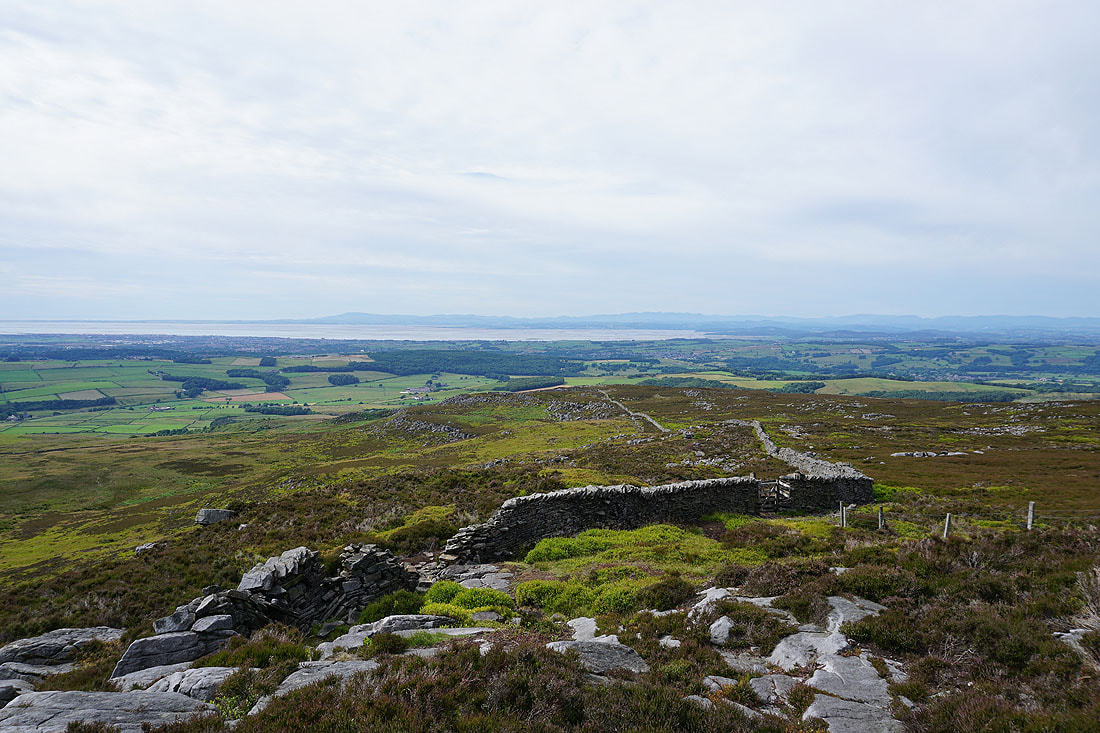
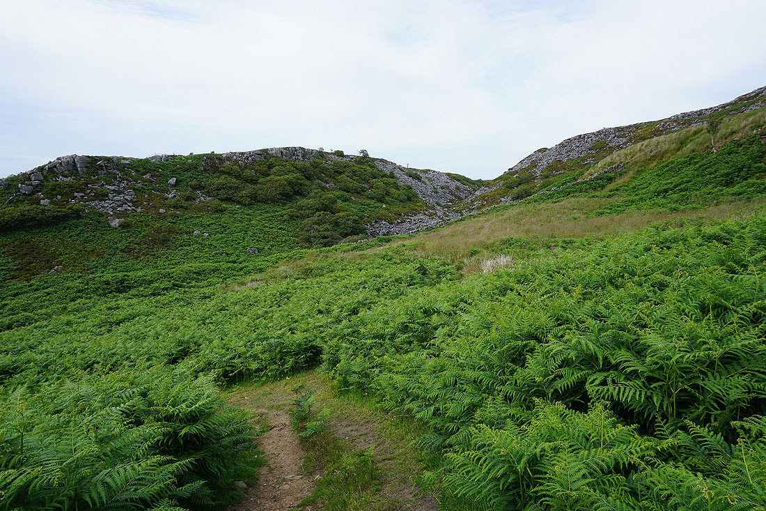
Heading down Clougha Scar
Looking back to the top of Clougha Pike
The Lake District fells in the distance as I look across the top of Windy Clough
Windy Clough
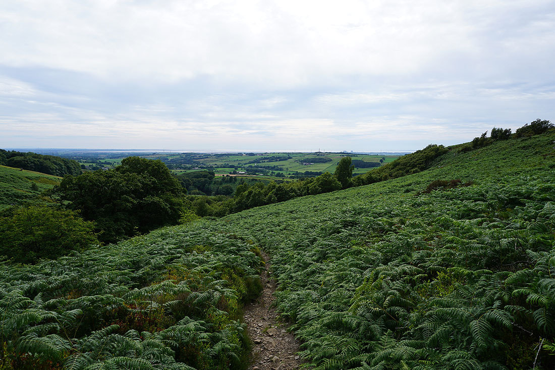
Descending into the woodland on Birk Bank
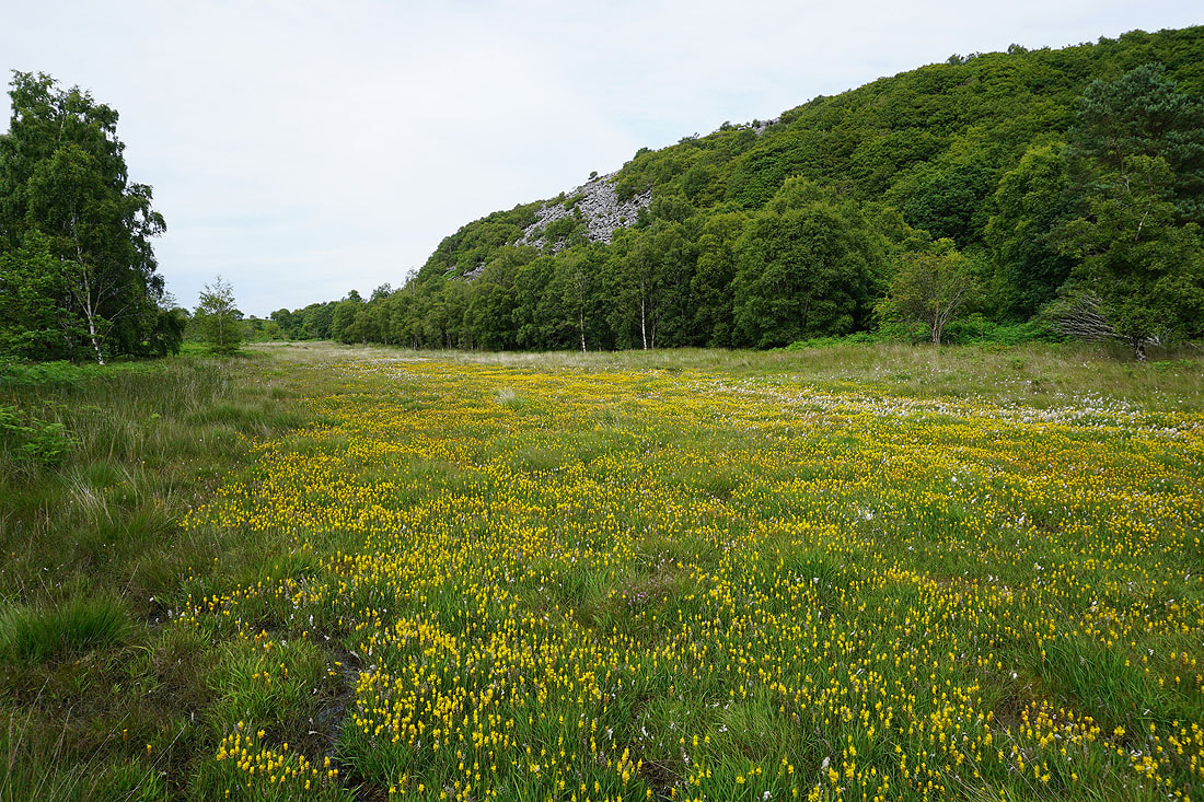
The marshy ground on Birk Bank is providing a fine display of flowering bog asphodel
Looking across the Condor valley as I return to the car park
