11th June 2017 - Stoodley Pike
Walk Details
Distance walked: 12.3 miles
Total ascent: 862 ft
OS map used: OL21 - South Pennines
Time taken: 5 hrs
Route description: Blackstone Edge Reservoir-Pennine Way-Gaddings Dam-Langfield Edge-Withens Gate-Pennine Way-Stoodley Pike-Pennine Way-Warland Drain-White Holme Drain-White Holme Reservoir-Pennine Way-Blackstone Edge Reservoir
Certainly not the best of weather this weekend and with that in mind I decided to stay close to home and do a walk on the South Pennines moors between Stoodley Pike and Blackstone Edge. This is another way that I've come up with of visiting Stoodley Pike. Not the quickest by any means but the route stays at more or less the same height throughout so there's hardly any ascent involved. It was very windy and blustery up on the moors today, with the windiest spot being Stoodley Pike. At least it wasn't as strong as the last time I was there on Boxing Day last year when I could hardly stand still. Although there was a little sunshine I didn't avoid the showers that were forecast and I got caught by one as I was walking back south from Stoodley Pike.
From the car park below The White House pub I set off by taking the trail of the Pennine Way by Blackstone Edge Reservoir that heads north past Light Hazzles Reservoir and to Warland Reservoir. Just the past the northern end of Warland Reservoir I left the trail for a path to Gaddings Dam. I then made my way along Langfield Edge and around Coldwell Hill to pick up the Pennine Way again to Stoodley Pike. After having lunch in the shelter of the monument I returned south on the Pennine Way to Warland Drain. I left the trail again for a path by Warland Drain and White Holme Drain that heads east then south and then west across Withens Moor and Turley Holes and Higher House Moor to White Holme Reservoir. The path around the reservoir returned me to the Pennine Way for a walk south back to the car park.
Route map
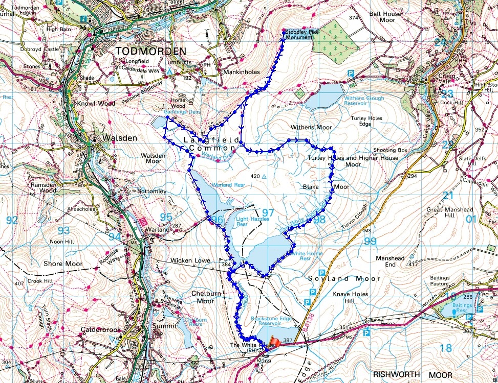
© Crown copyright. All rights reserved. License number PU 100034184.
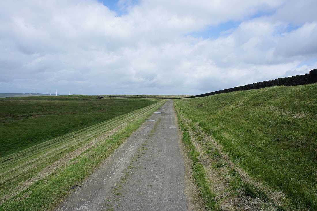
I start by setting off along the track on the dam of Blackstone Edge Reservoir, which also carries the trail of the Pennine Way
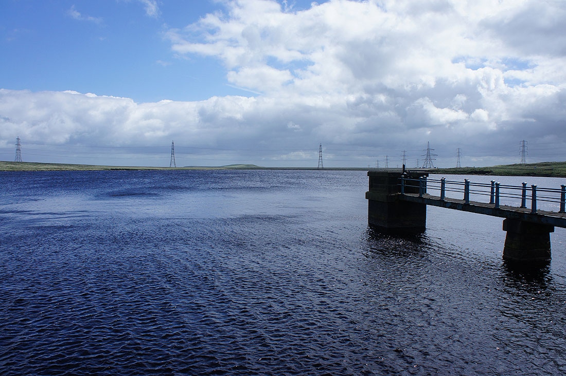
A very windswept Blackstone Edge Reservoir
Looking towards Hollingworth Lake
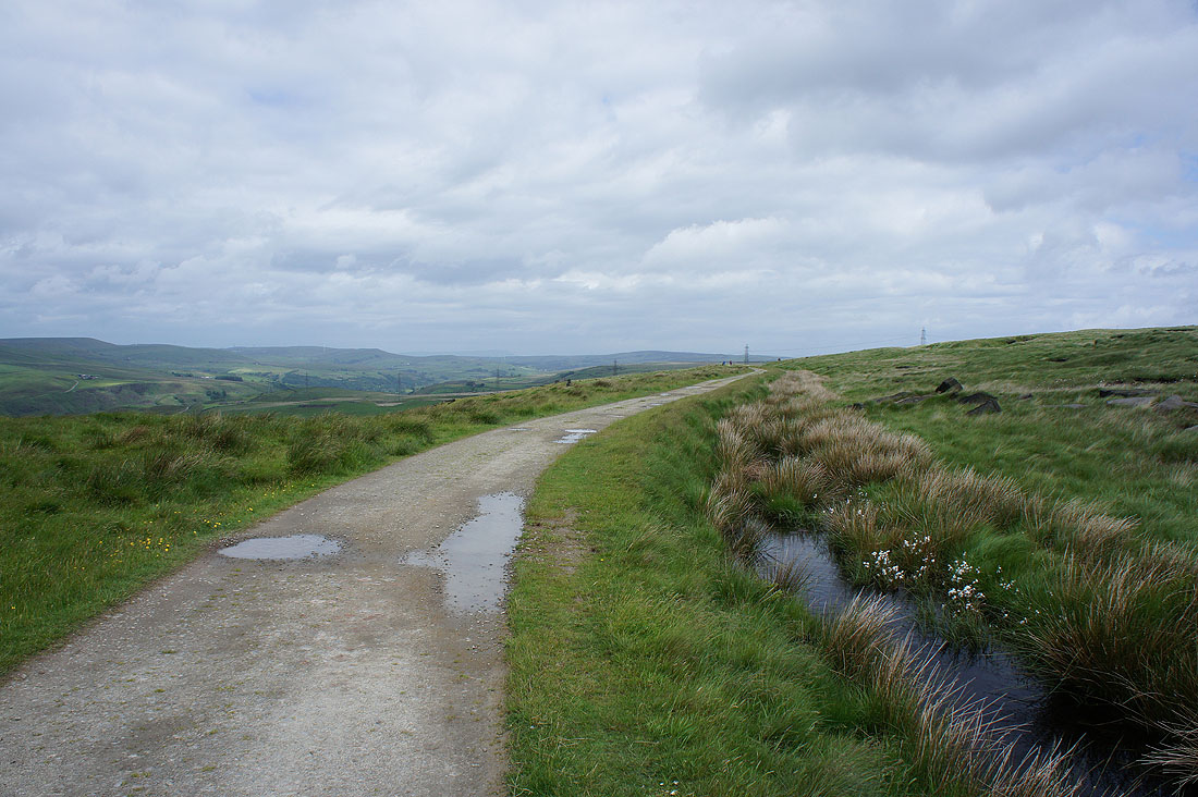
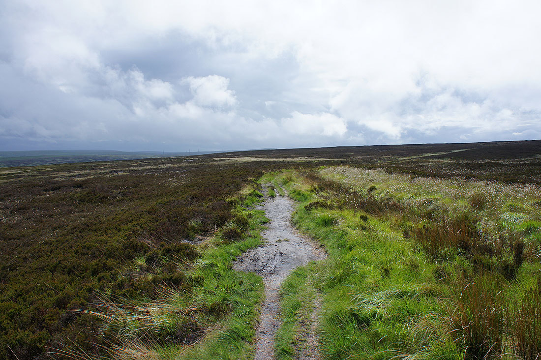
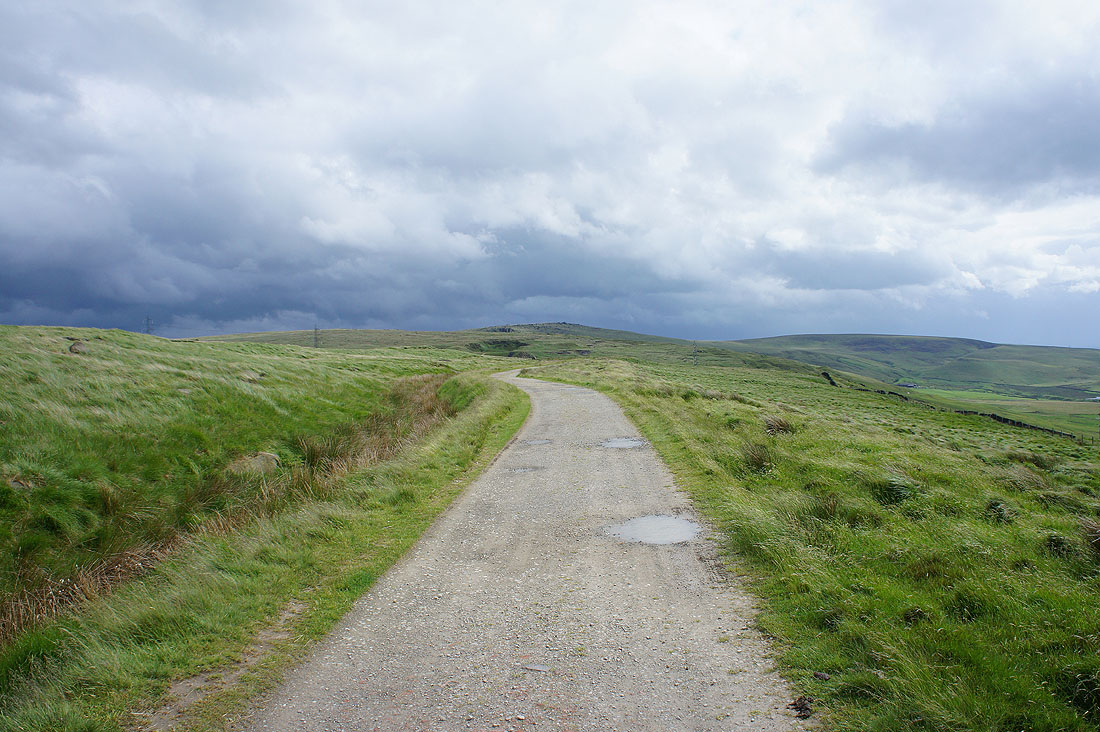
On the Pennine Way
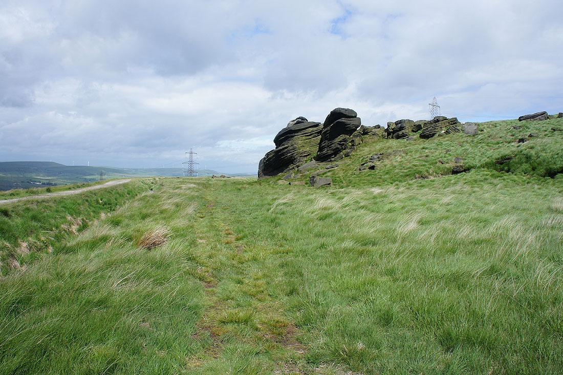
I crossed the drain beside the track so that I could get close to the boulders ahead
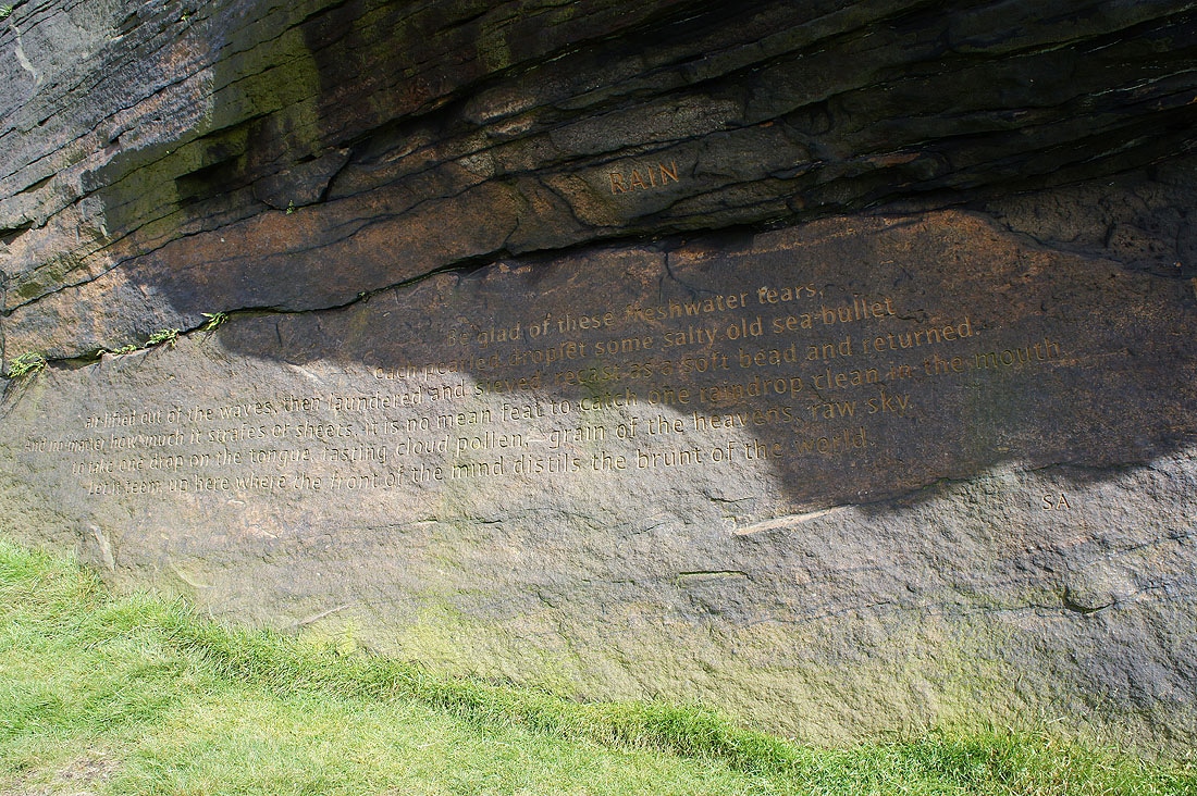
and see the Stanza Stone of "Rain"
By Light Hazzles Reservoir
Shore Moor on the other side of the Summit gorge
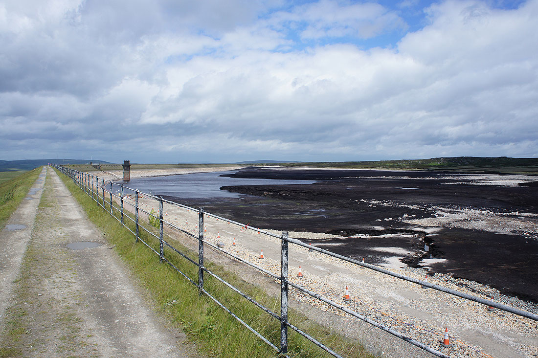
By a drained Warland Reservoir
Approaching Gaddings Dam
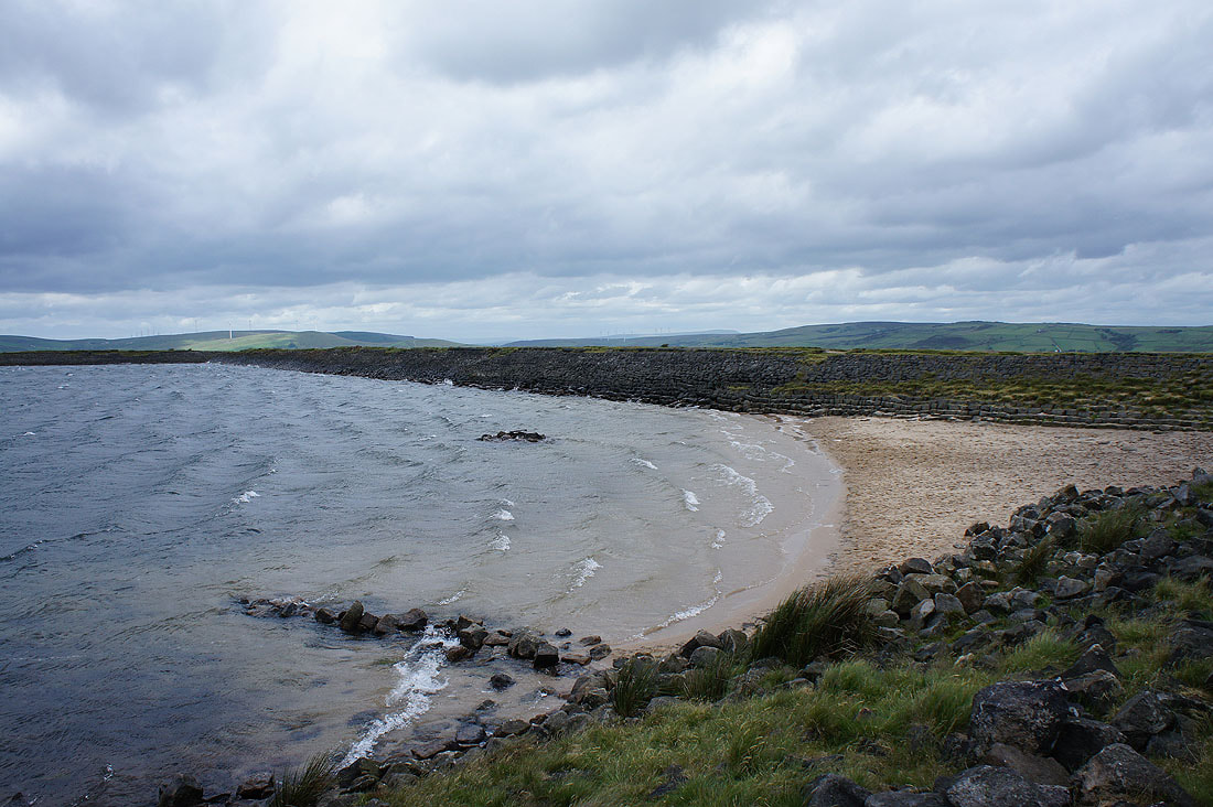
Waves break on its beach
The sun comes out as I reach Langfield Edge for the walk above Calderdale to Stoodley Pike
Withens Clough Reservoir
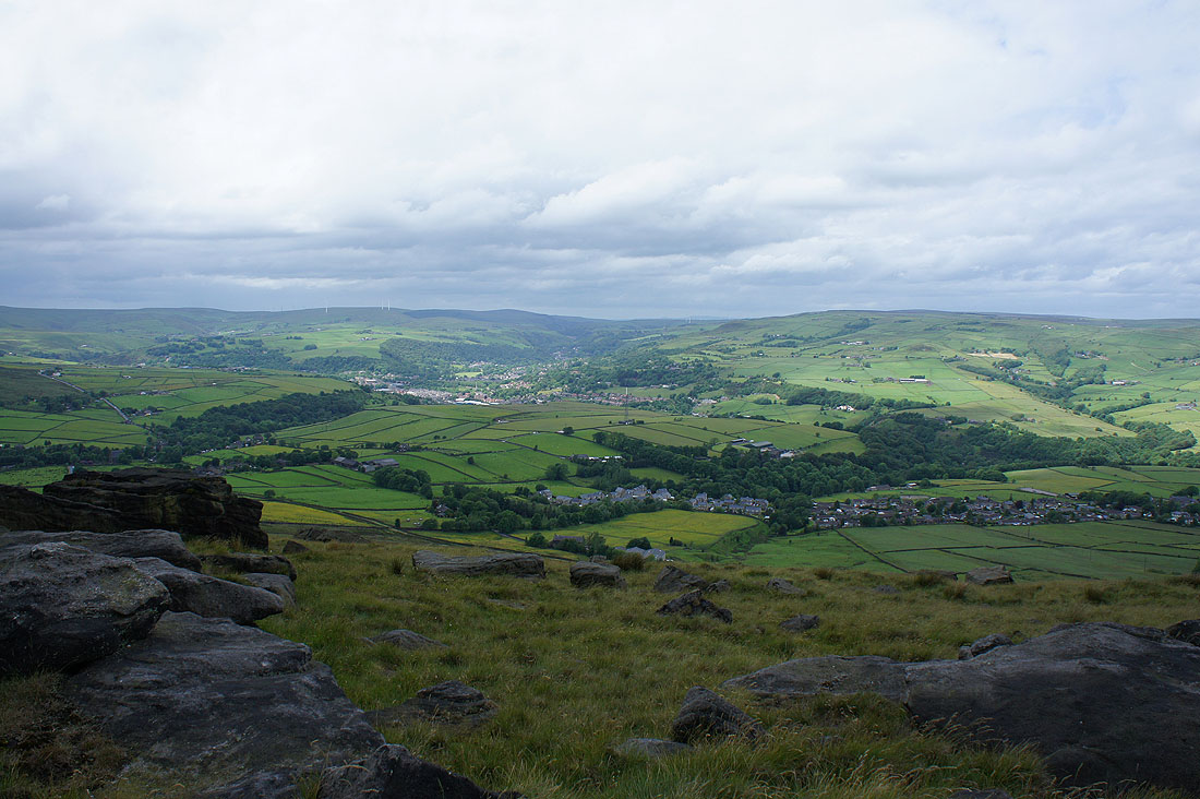
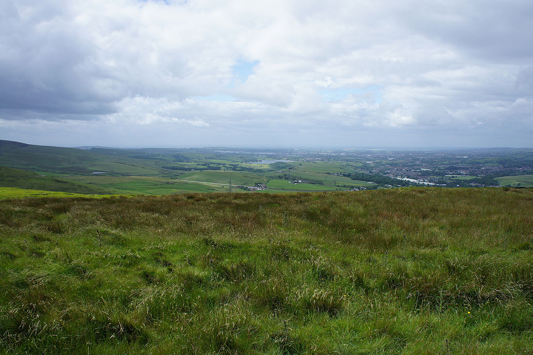
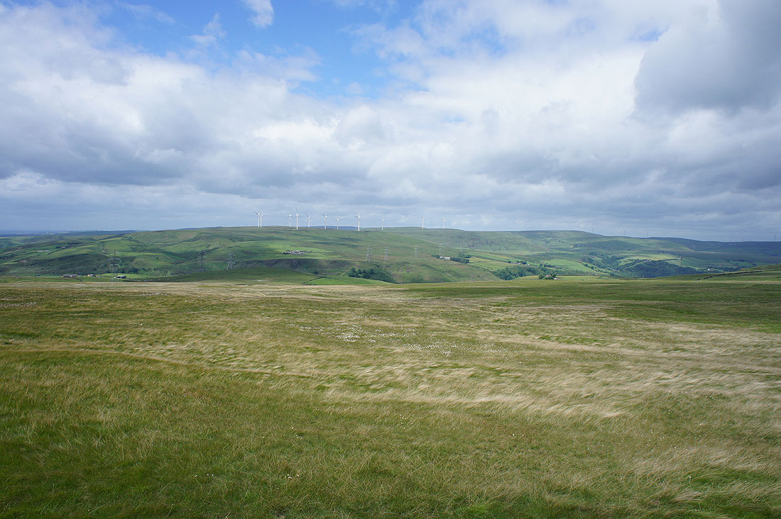
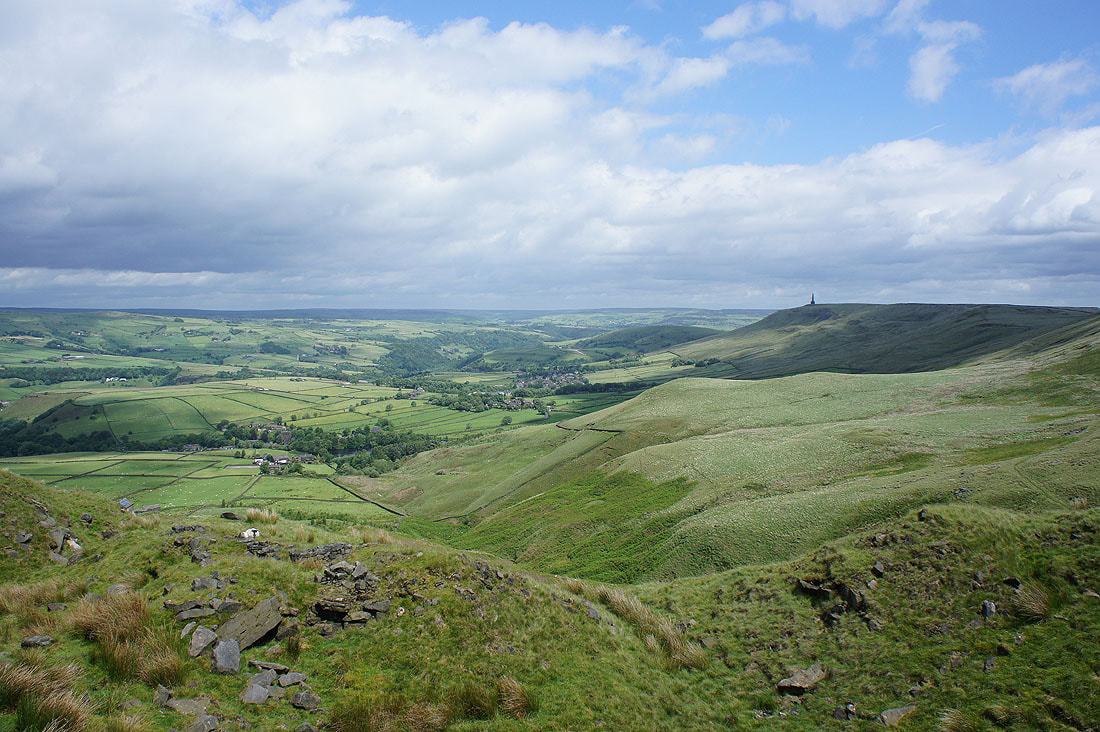
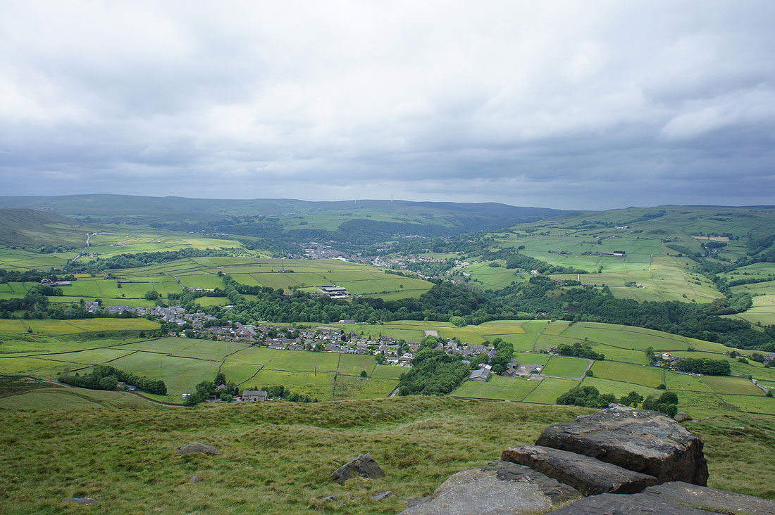
Looking across Todmorden and Calderdale
Approaching Stoodley Pike..
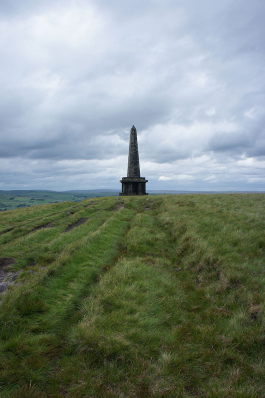
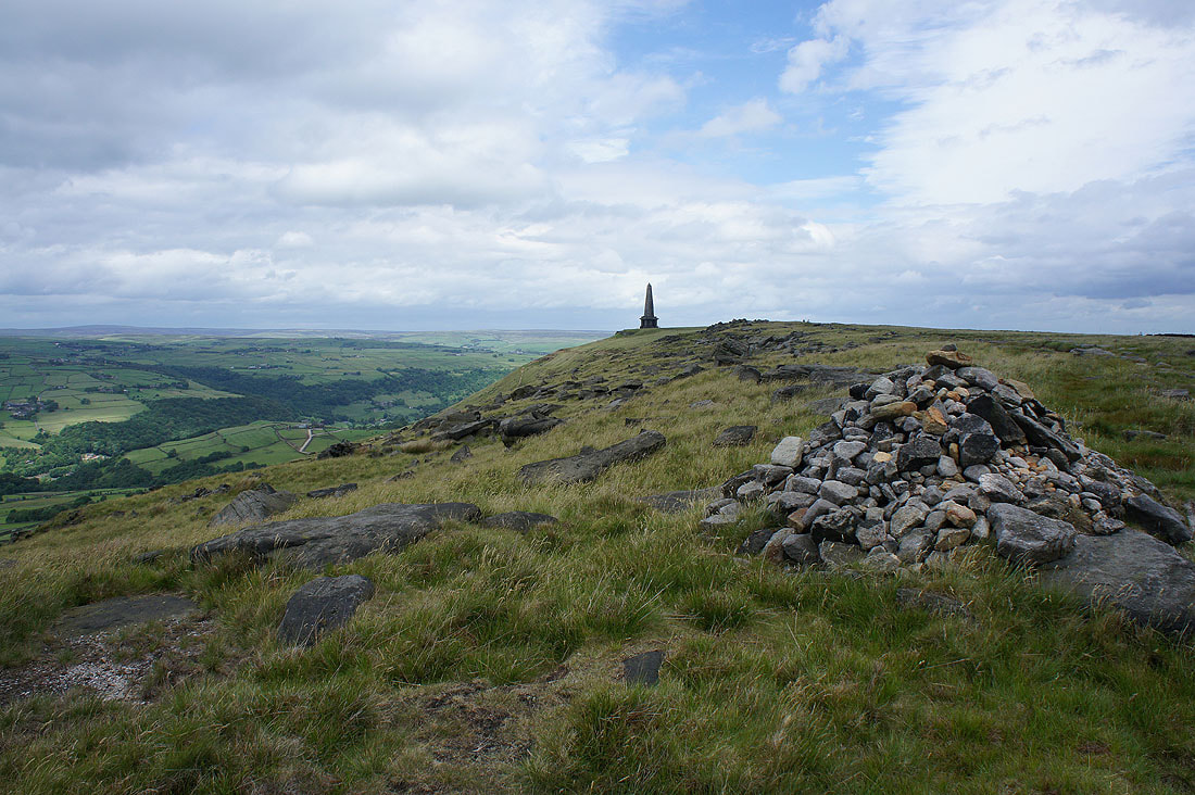
The view of Todmorden and Calderdale from beside the monument and it's very windy. Having my lunch here did mean that I had some shelter.
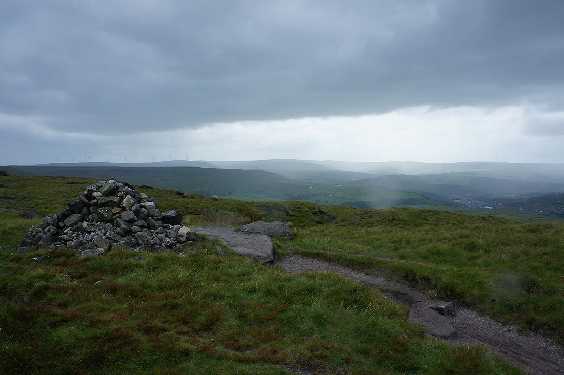
There will be no avoiding this shower as I follow the Pennine Way back south
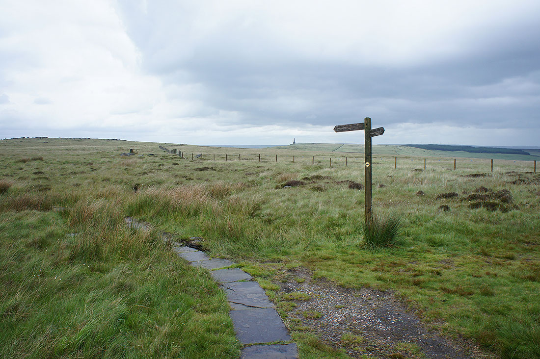
I left the Pennine Way at this finger post for a path by Warland Drain
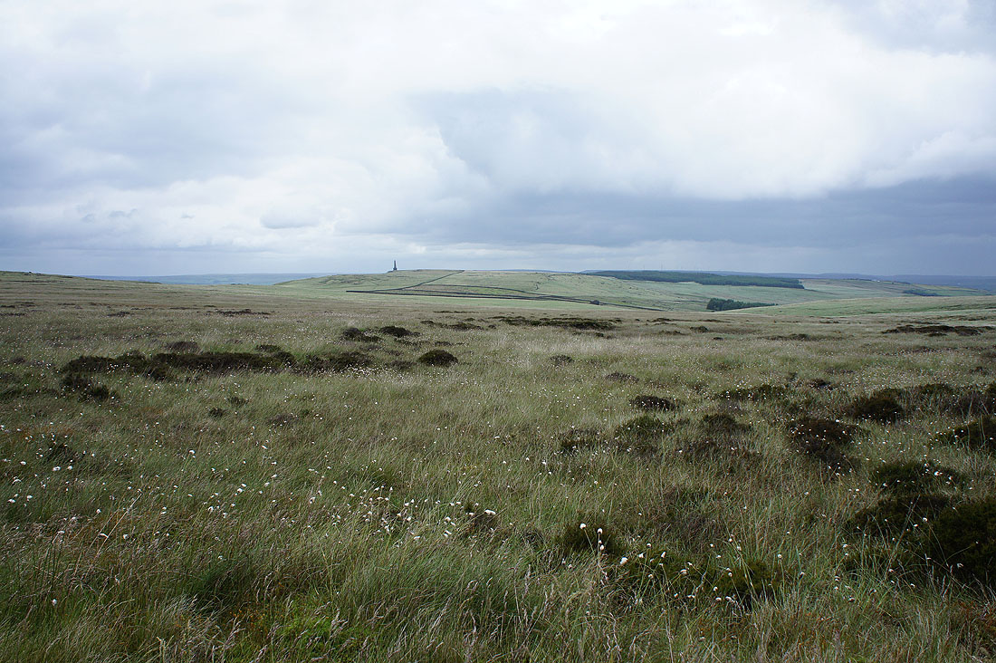
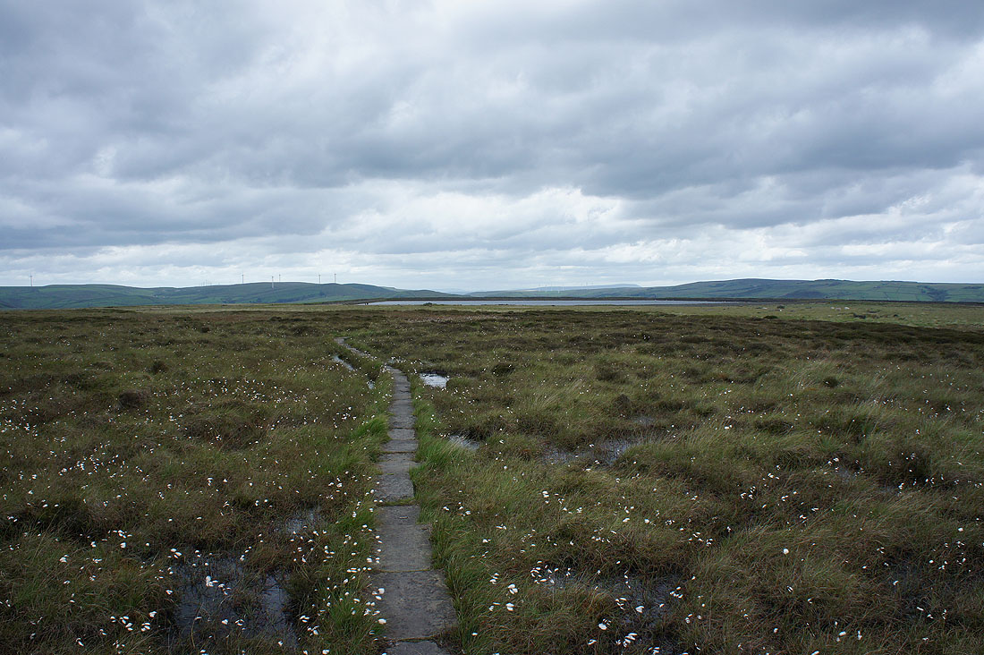
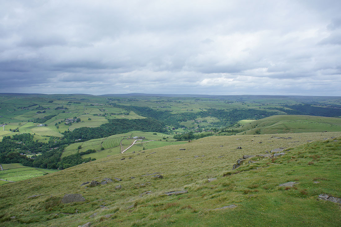
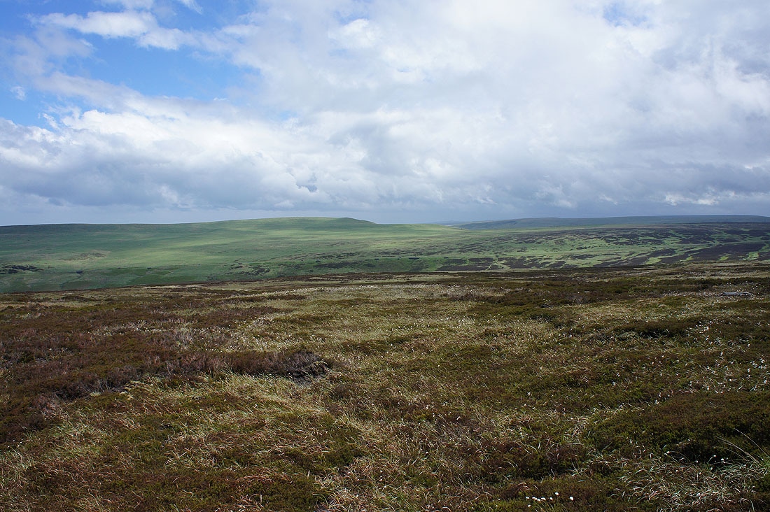
Looking across Withens Moor to Stoodley Pike
Withens Clough
A welcome return of the sun as the shower finally clears. There's a freshness to the air after all that rain falling.
Great Manshead Hill
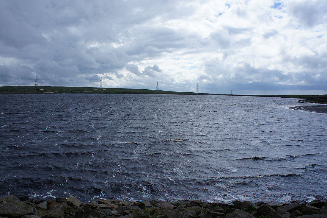
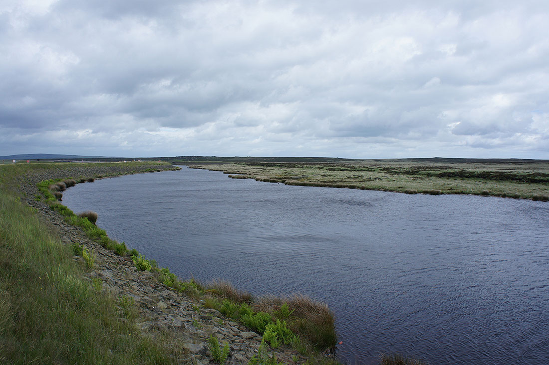
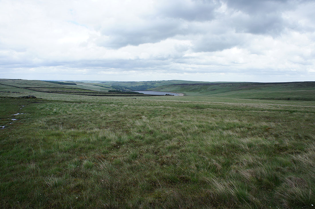
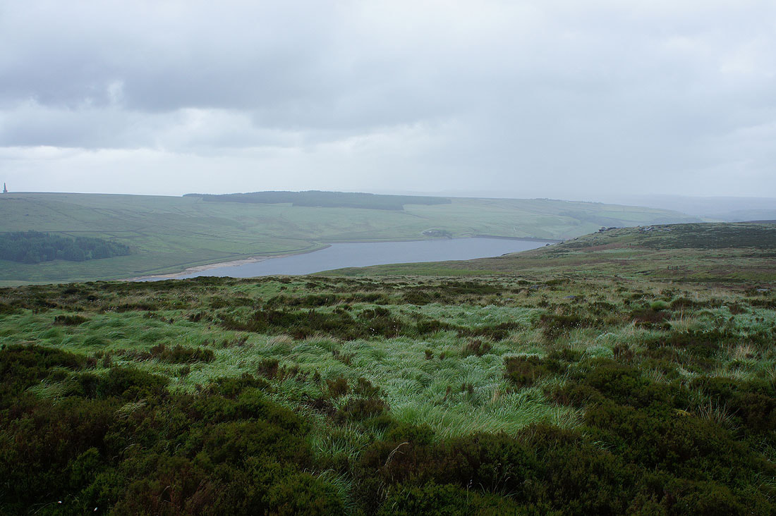
White Holme Reservoir
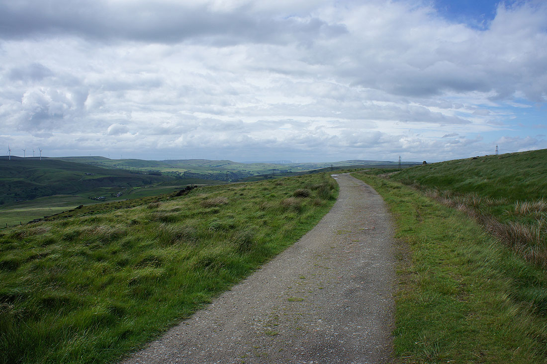
Back on the track that I set off on. Turning round to look north to a distant Pendle Hill.
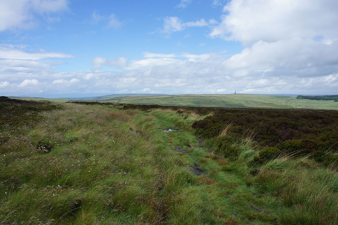
Blackstone Edge in the distance to finish